 Not visible
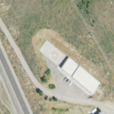
WY43 Wyoming Game and Fish
JACKSON, WY
43.4847222220001, -110.761666667
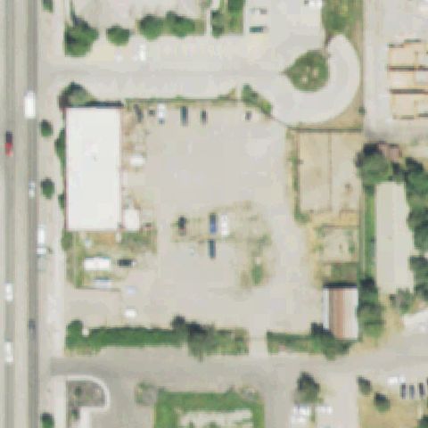
The center shows an open gravel lot and yard with no helipad markings.
70% confidence
Verify on the map →
Is there really a pad here?
Data: FAA Airports (ArcGIS open layer) | Imagery: USGS NAIP (public domain) | AI vision: Claude Opus 4.8 | built 2026-07-05
A flag means a pad could not be confirmed from current imagery - never that a heliport is missing, fake, or mislocated. Help us check: vote on each one below.
Not visibleJACKSON, WY
43.4847222220001, -110.761666667
The center shows an open gravel lot and yard with no helipad markings.
 Not visible
JACKSON, WY
43.601708333, -110.744888889
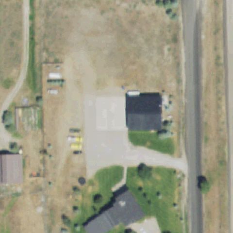
The center shows an open dirt and gravel yard with no helipad markings.
 Not visible
JACKSON, WY
43.3008833330001, -110.777055556
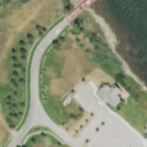
The center is open field and brush near a lake with no visible pad.
 Not visible
RIVERTON, WY
43.04823, -108.37892
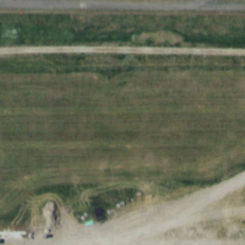
The center is open agricultural field with no helipad markings.
 Off-center
BIG PINEY, WY
42.556358333, -110.111477778
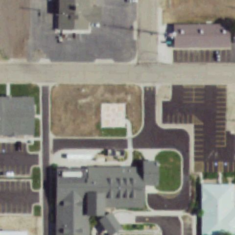
A faint light square pad with possible markings sits above and left of center near the clinic.
 Off-center
CHEYENNE, WY
41.157203333, -104.811634722
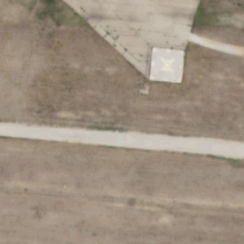
A small square pad with an X marking lies right of center on open ground.
 Off-center
CODY, WY
44.527077778, -109.073522222
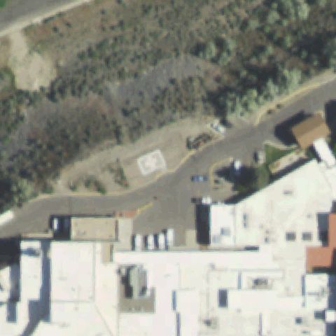
A faint H-marked pad sits left of center near the hospital buildings.
 Off-center
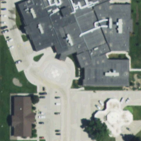
SHERIDAN, WY
44.807666667, -106.975419444
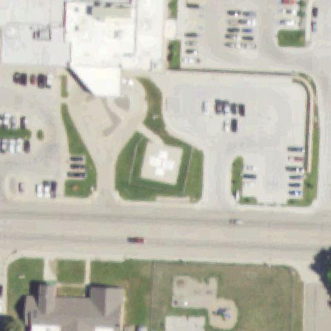
A light pad with a white cross marking is left of center near the hospital.
 Off-center
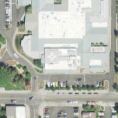
WORLAND, WY
44.012205556, -107.949402778
A faint cross-marked pad sits left of center beside the medical building.
 Off-center
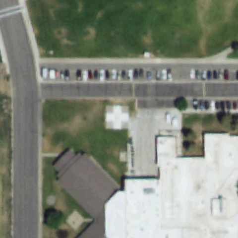
JACKSON, WY
43.4801, -110.749686111
A rooftop pad with a red and white cross marking sits left of center.
 Off-center
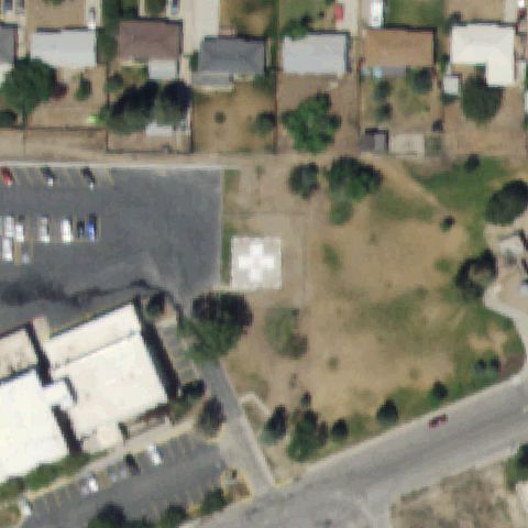
POWELL, WY
44.757338889, -108.772225
A white cross-marked pad sits left of center on the lawn near the hospital.
 Off-center
RAWLINS, WY
41.7873472220001, -107.260722222
A square pad with a white cross marking sits left of center on open ground.
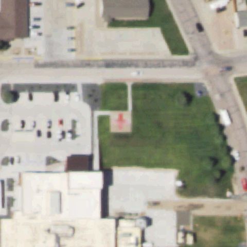 Off-center
TORRINGTON, WY
42.083502778, -104.192422222
A faint red cross pad marking is left of center in the grass field.
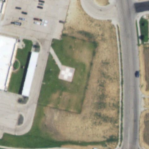 Off-center
CASPER, WY
42.840361111, -106.224444444
A square pad with a white cross marking sits left of center in the field.
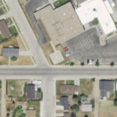 Uncertain
KEMMERER, WY
41.7893361110001, -110.541763889
The center shows generic building rooftops and parking with no visible pad.
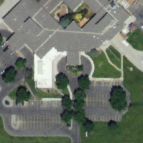 Uncertain
RIVERTON, WY
43.0344138890001, -108.418752778
The center shows hospital rooftops with no clear helipad marking.
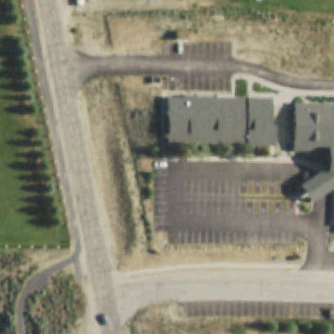 Uncertain
PINEDALE, WY
42.870521667, -109.853283361
The center shows a building and parking lot with no visible helipad.
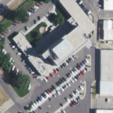 Confirmed
CASPER, WY
42.8540333330001, -106.336286111
A rooftop touchdown pad with a circular marking is visible near image center.
✓ Confirmed by AI vision with Claude Opus 4.8
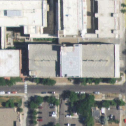 Confirmed
CASPER, WY
42.8476000000001, -106.308386111
A light rooftop pad with circle and cross marking sits at center on the hospital roof.
✓ Confirmed by AI vision with Claude Opus 4.8
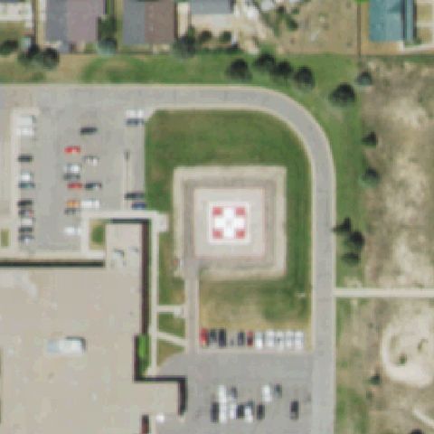
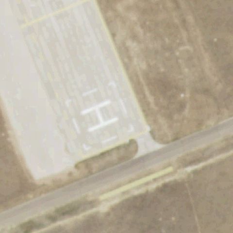 Confirmed
CHEYENNE, WY
41.141666667, -104.871388889
A painted H on a light concrete pad is visible at image center.
✓ Confirmed by AI vision with Claude Opus 4.8
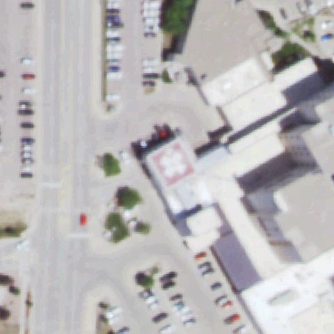
 Confirmed
EVANSTON, WY
41.2436777780001, -110.989994444
A clear pad with red and white H cross marking is near image center.
✓ Confirmed by AI vision with Claude Opus 4.8
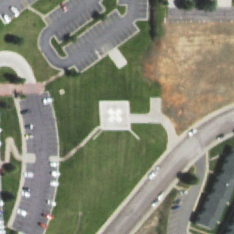
 Confirmed
GILLETTE, WY
44.290266667, -105.519097222
A red and white H-marked pad is visible near center beside the hospital.
✓ Confirmed by AI vision with Claude Opus 4.8
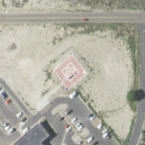
 Confirmed
LARAMIE, WY
41.312416667, -105.554591667
A ground pad with an H marking is visible at image center on the lawn.
✓ Confirmed by AI vision with Claude Opus 4.8
 Confirmed
ROCK SPRINGS, WY
41.5859750000001, -109.234569444
A pad with a red and white H cross marking sits near image center.
✓ Confirmed by AI vision with Claude Opus 4.8
 Confirmed
JACKSON, WY
43.4769000000001, -110.790441667
A faint square marking appears on the small building roof near center.
✓ Confirmed by AI vision with Claude Opus 4.8