FAA record × aerial reality

West Virginia: where the heliport map and the ground disagree.

38
facilities checked
17
flagged for review
-
visitors

Data: FAA Airports (ArcGIS open layer)  |  Imagery: USGS NAIP (public domain)  |  AI vision: Claude Opus 4.8  |  built 2026-07-05

This is a prioritized review queue, not a list of findings.

A flag means a pad could not be confirmed from current imagery - never that a heliport is missing, fake, or mislocated. Help us check: vote on each one below.

Verdicts
7 Not visible5 Off-center5 Uncertain21 Confirmed
Facilities — worst-first
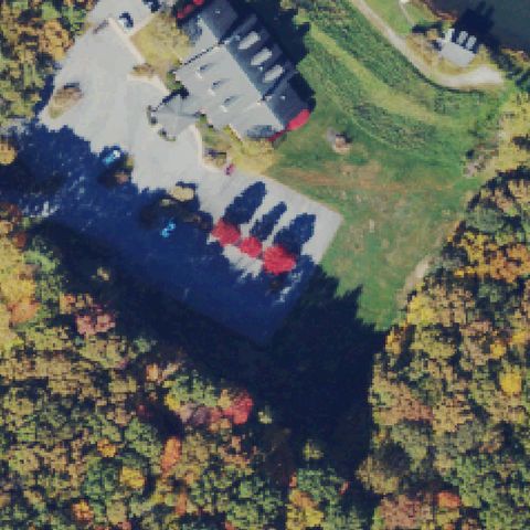
Aerial tile for WV26Not visible

WV26 Glade Springs

BECKLEY, WV

37.7245608330001, -81.097040556

Center shows a resort building, driveway and forest with no painted pad or markings visible.

80% confidence Verify on the map →
Is there really a pad here?
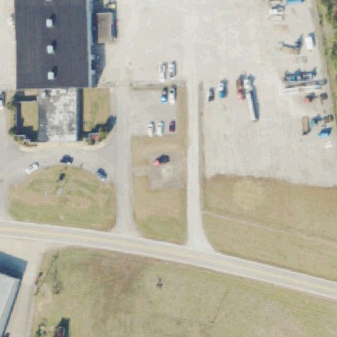
Aerial tile for WV50Not visible

WV50 Dickirson

FAIRPLAIN, WV

38.7622166670001, -81.696030556

Center is an industrial yard with gravel, trucks and grass and no identifiable landing pad.

75% confidence Verify on the map →
Is there really a pad here?
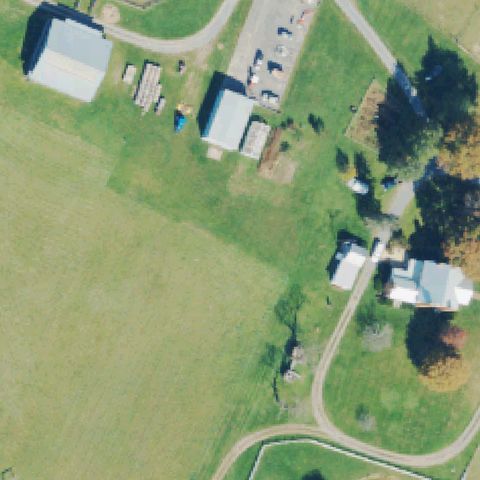
Aerial tile for WV31Not visible

WV31 Pratt Mining

LEWISBURG, WV

37.8337319440001, -80.436741667

Center shows a rural farm with barns, a house and open fields, no pad or markings.

85% confidence Verify on the map →
Is there really a pad here?
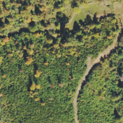
Aerial tile for WV13Not visible

WV13 Minnick's

UPLAND, WV

38.570919444, -82.062362222

Center is dense forest with a faint trail and no pad visible; imagery likely predates any pad.

90% confidence Verify on the map →
Is there really a pad here?
Aerial tile for WV34Not visible

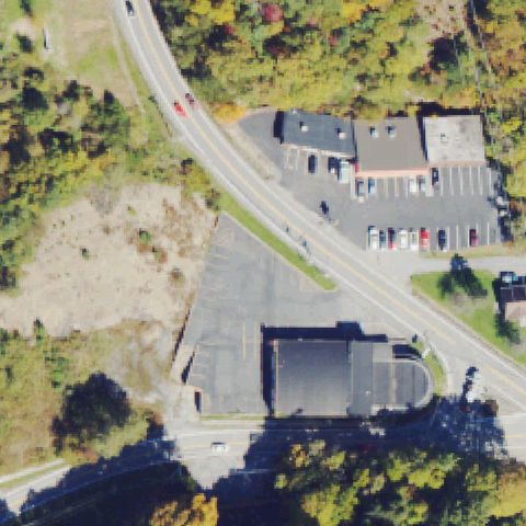
WV34 Bluefield Rgnl Medical Center

BLUEFIELD, WV

37.2545616670001, -81.233708889

Center shows a road, a building and a dark paved lot with no identifiable helipad markings.

70% confidence Verify on the map →
Is there really a pad here?

Aerial tile for WV74Not visible

WV74 Snowshoe

SNOWSHOE, WV

38.4103944440001, -79.995344444

Center shows resort rooftops, a pool and landscaping with no helipad markings visible.

75% confidence Verify on the map →
Is there really a pad here?
Aerial tile for 2WV6Not visible

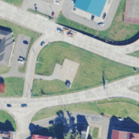
2WV6 West Virginia State Police

WHEELING, WV

40.0543000000001, -80.722941667

Center shows road intersections, grass medians and a small building with no pad markings.

80% confidence Verify on the map →
Is there really a pad here?
Aerial tile for 14WVOff-center

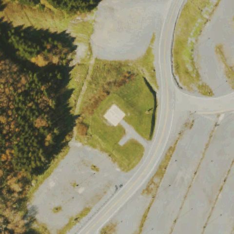
14WV Snowshoe Resort/Topof The World

LINWOOD, WV

38.401536111, -79.995191667

A small light square pad sits left of center in a grass island near the resort road, off the FAA point.

55% confidence Verify on the map →
Is there really a pad here?
Aerial tile for WV58Off-center

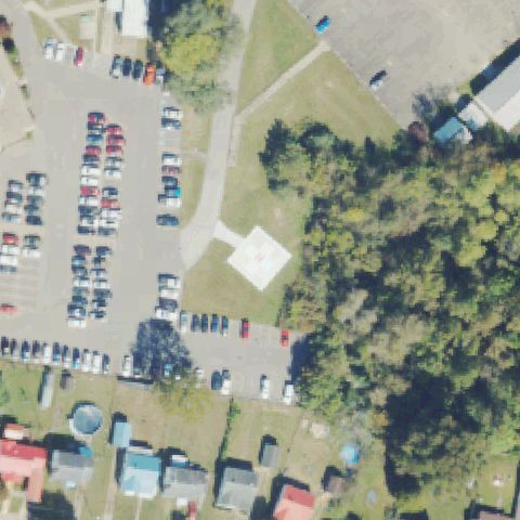
WV58 Pleasant Valley Hospital

POINT PLEASANT, WV

38.868647222, -82.121733333

A faint square pad with circular marking sits below and left of center near the hospital lot.

70% confidence Verify on the map →
Is there really a pad here?
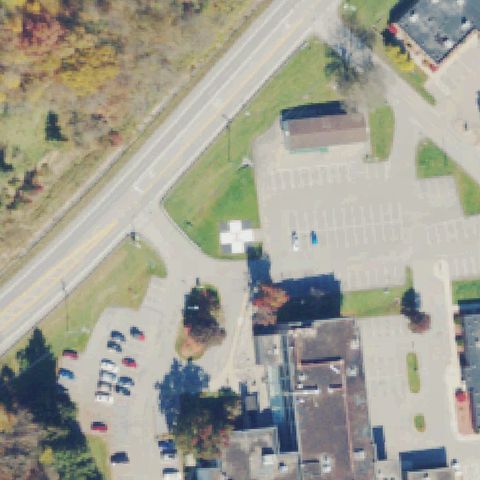
Aerial tile for WV75Off-center

WV75 Stonewall Jackson Meml Hospital

WESTON, WV

39.0482555560001, -80.492447222

A square pad with a white cross sits left of center between the road and hospital lot.

85% confidence Verify on the map →
Is there really a pad here?
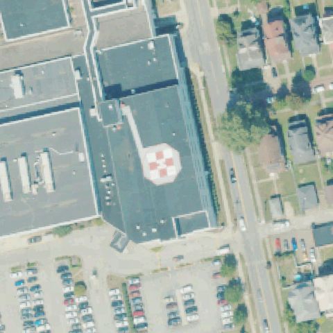
Aerial tile for WV02Off-center

WV02 St Mary's Hospital

HUNTINGTON, WV

38.4305416670001, -82.3998722219999

A rooftop pad with a red checkerboard/cross marking sits left of center on the hospital roof.

85% confidence Verify on the map →
Is there really a pad here?
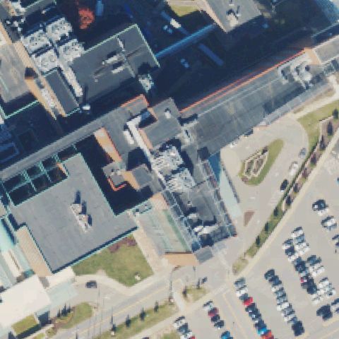
Aerial tile for WV51Off-center

WV51 University Hospital

MORGANTOWN, WV

39.653416667, -79.956230556

A rooftop pad with a parked helicopter sits lower-left of center on the university hospital building.

65% confidence Verify on the map →
Is there really a pad here?
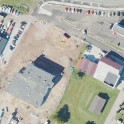
Aerial tile for 5WV5Uncertain

5WV5 St Joseph's Hospital

PARKERSBURG, WV

39.2801190000001, -81.552082

Center shows a cleared dirt lot, buildings and parking with no painted pad or markings; likely predates or post-removal.

65% confidence Verify on the map →
Is there really a pad here?
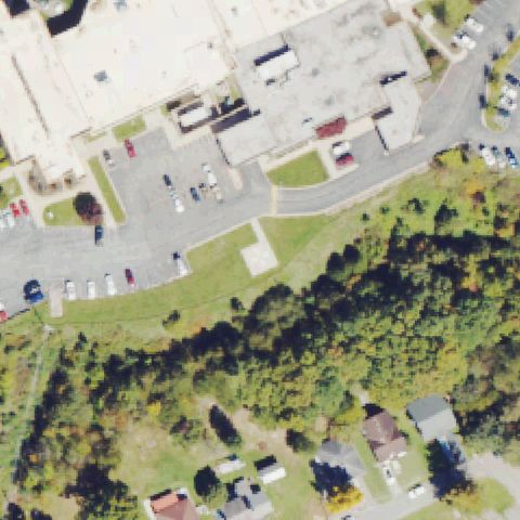
Aerial tile for WV69Uncertain

WV69 Bluefield Rgnl Medical Center

BLUEFIELD, WV

37.254902778, -81.2356

Center shows a hospital building edge, parking and grass with a faint paved square but no clear pad marking.

55% confidence Verify on the map →
Is there really a pad here?
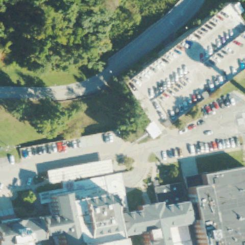
Aerial tile for 3WV2Uncertain

3WV2 Va Medical Center

HUNTINGTON, WV

38.377361111, -82.516641667

Center shows roads, parking and a building complex with no clearly marked landing pad.

60% confidence Verify on the map →
Is there really a pad here?
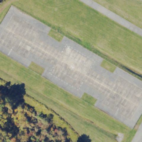
Aerial tile for 13WVUncertain

13WV Bsa Summit Bechtel Reserve

MT. HOPE, WV

37.888991667, -81.120702778

Center is a large paved lot with faded outlines but no distinct H or pad markings; ambiguous.

50% confidence Verify on the map →
Is there really a pad here?
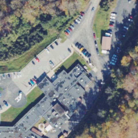
Aerial tile for 4WV6Uncertain

4WV6 Minnie Hamilton

GRANTSVILLE, WV

38.9231222220001, -81.0922416669999

Center shows hospital buildings, parking and a service drive with no clearly marked landing pad.

60% confidence Verify on the map →
Is there really a pad here?
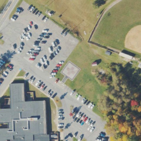
Aerial tile for WV04Confirmed

WV04 Beckley Arh Hospital

BECKLEY, WV

37.799491667, -81.167691667

A square pad with a red cross/circle marking sits just right of center beside the hospital parking lot.

✓ Confirmed by AI vision with Claude Opus 4.8

90% confidence Verify on the map →
Is there really a pad here?
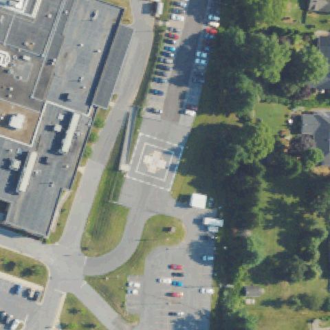
Aerial tile for WV48Confirmed

WV48 Berkeley Medical Center

MARTINSBURG, WV

39.4756522220001, -77.979456806

A square pad with a circle/cross marking sits near center on the hospital plaza.

✓ Confirmed by AI vision with Claude Opus 4.8

85% confidence Verify on the map →
Is there really a pad here?
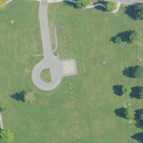
Aerial tile for WV05Confirmed

WV05 Va Medical Center

MARTINSBURG, WV

39.4150277780001, -77.913086111

A light square pad with a circular access drive sits near center on the medical center grounds.

✓ Confirmed by AI vision with Claude Opus 4.8

70% confidence Verify on the map →
Is there really a pad here?
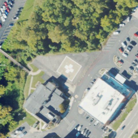
Aerial tile for WV73Confirmed

WV73 Wood County

PARKERSBURG, WV

39.271533333, -81.560363889

A square pad with a white cross in a circle sits near center by the hospital lot.

✓ Confirmed by AI vision with Claude Opus 4.8

90% confidence Verify on the map →
Is there really a pad here?
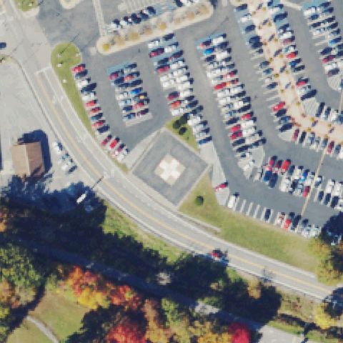
Aerial tile for WV45Confirmed

WV45 Princeton Community Hospital

PRINCETON, WV

37.3618361110001, -81.112833333

A square pad with a white cross in a circle sits near center beside the hospital parking lot.

✓ Confirmed by AI vision with Claude Opus 4.8

90% confidence Verify on the map →
Is there really a pad here?
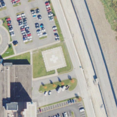
Aerial tile for 3WV7Confirmed

3WV7 United Medical Center

BRIDGEPORT, WV

39.3293416670001, -80.238666667

A square pad with a white cross in a circle sits near center on a grass island by the hospital.

✓ Confirmed by AI vision with Claude Opus 4.8

90% confidence Verify on the map →
Is there really a pad here?
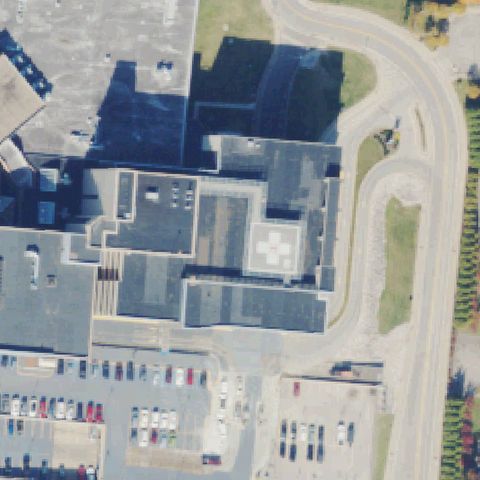
Aerial tile for WV56Confirmed

WV56 CaMc-Meml

CHARLESTON, WV

38.329786111, -81.601680556

A rooftop pad with a white cross in a circle sits near center on the hospital complex.

✓ Confirmed by AI vision with Claude Opus 4.8

85% confidence Verify on the map →
Is there really a pad here?
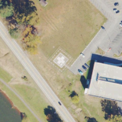
Aerial tile for 2WV2Confirmed

2WV2 Louis A Johnson Va Medical Center

CLARKSBURG, WV

39.270555556, -80.364275

A square pad with a white cross in a circle sits near center on the VA grounds.

✓ Confirmed by AI vision with Claude Opus 4.8

85% confidence Verify on the map →
Is there really a pad here?
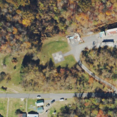
Aerial tile for 22WVConfirmed

22WV Grafton City Hospital

GRAFTON, WV

39.343425, -80.029180556

A square pad with a white cross in a circle sits near center on a grass slope by the hospital.

✓ Confirmed by AI vision with Claude Opus 4.8

85% confidence Verify on the map →
Is there really a pad here?
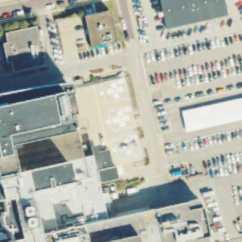
Aerial tile for WV27Confirmed

WV27 Cabell Huntington Hospital

HUNTINGTON, WV

38.410255556, -82.4266499999999

Two cross-marked pads sit near center in the hospital service area between buildings and parking.

✓ Confirmed by AI vision with Claude Opus 4.8

85% confidence Verify on the map →
Is there really a pad here?
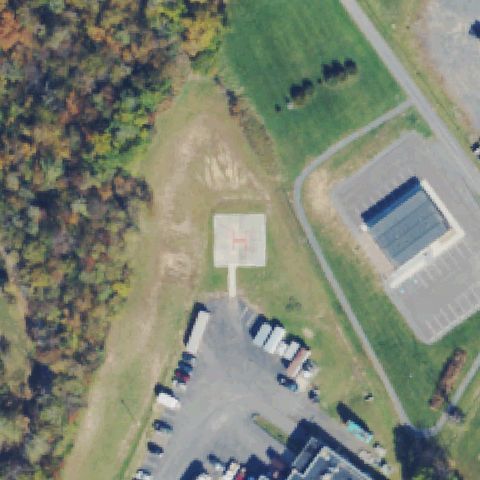
Aerial tile for 1WV0Confirmed

1WV0 Potomac Valley Hospital

KEYSER, WV

39.4104, -79.003233333

A square pad with a red painted H sits near center beside the hospital lot.

✓ Confirmed by AI vision with Claude Opus 4.8

90% confidence Verify on the map →
Is there really a pad here?
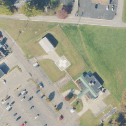
Aerial tile for WV20Confirmed

WV20 Wetzel County Hospital

NEW MARTINSVILLE, WV

39.6811888890001, -80.8486972219999

A faint square pad with a circular marking sits near center on the hospital grounds.

✓ Confirmed by AI vision with Claude Opus 4.8

75% confidence Verify on the map →
Is there really a pad here?
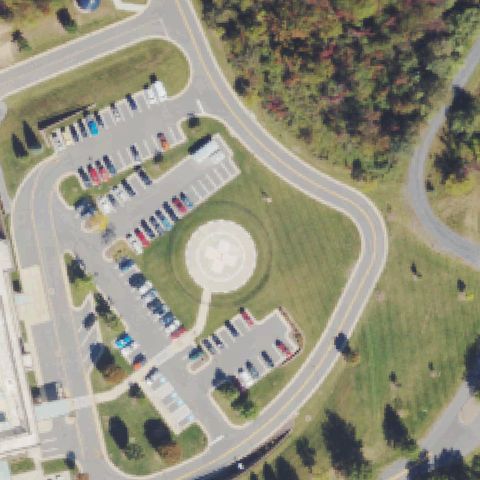
Aerial tile for 85WVConfirmed

85WV Hampshire Meml Hospital

ROMNEY, WV

39.333611111, -78.6974999999999

A circular pad with a cross marking sits near center surrounded by the hospital drive and lot.

✓ Confirmed by AI vision with Claude Opus 4.8

85% confidence Verify on the map →
Is there really a pad here?
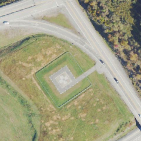
Aerial tile for WV24Confirmed

WV24 Coon Knob

SUTTON, WV

38.6183333330001, -80.7577777779999

A square pad with a white cross sits centered within a fenced grass enclosure off the highway.

✓ Confirmed by AI vision with Claude Opus 4.8

85% confidence Verify on the map →
Is there really a pad here?
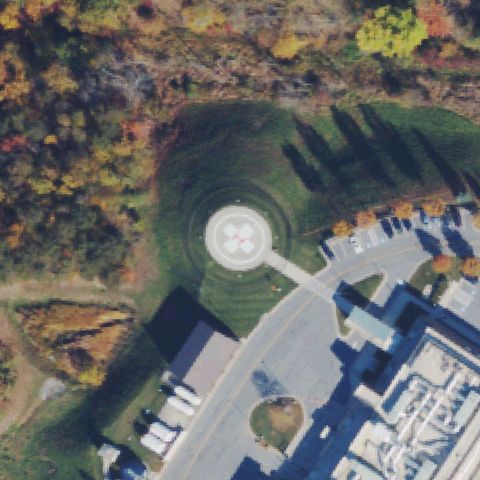
Aerial tile for 15WVConfirmed

15WV War Meml Hospital

BERKELEY SPRINGS, WV

39.642925, -78.201002778

A circular pad with a cross marking sits near center on the grass slope by the hospital drive.

✓ Confirmed by AI vision with Claude Opus 4.8

85% confidence Verify on the map →
Is there really a pad here?
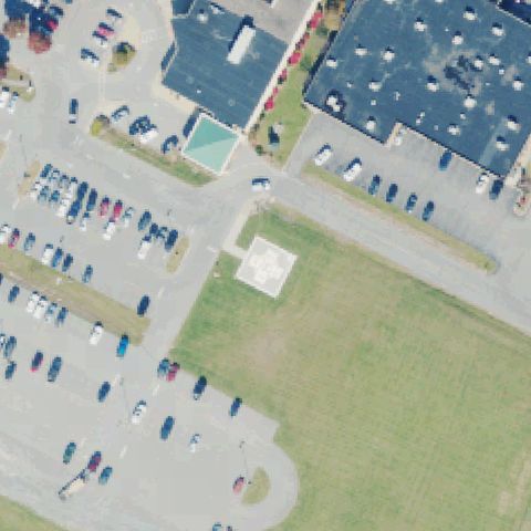
Aerial tile for 7WV2Confirmed

7WV2 Greenbrier Valley Medical Center

RONCEVERTE, WV

37.772052778, -80.4703388889999

A light square pad sits near center on a grass island between the parking lots and building.

✓ Confirmed by AI vision with Claude Opus 4.8

70% confidence Verify on the map →
Is there really a pad here?
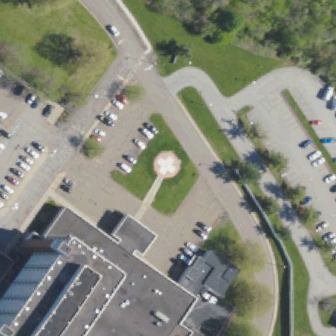
Aerial tile for 40WVConfirmed

40WV Weirton Medical Center

WEIRTON, WV

40.393778667, -80.527402528

A circular pad with a cross marking sits near center in a grass island by the medical center.

✓ Confirmed by AI vision with Claude Opus 4.8

85% confidence Verify on the map →
Is there really a pad here?
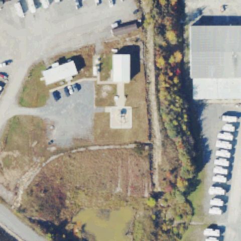
Aerial tile for 3WV6Confirmed

3WV6 Air Evac 121

MOUNT HOPE, WV

37.834155556, -81.1966555559999

A small marked square pad sits near center at the Air Evac base beside the hangar buildings.

✓ Confirmed by AI vision with Claude Opus 4.8

65% confidence Verify on the map →
Is there really a pad here?
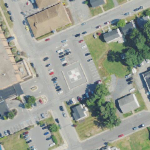
Aerial tile for WV86Confirmed

WV86 Jefferson Medical Center

RANSON, WV

39.295786111, -77.8578277779999

A square pad with a white cross in a circle sits near center in the hospital lot.

✓ Confirmed by AI vision with Claude Opus 4.8

85% confidence Verify on the map →
Is there really a pad here?
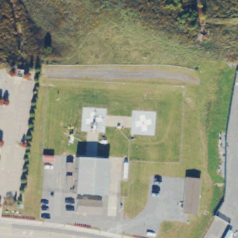
Aerial tile for 33WVConfirmed

33WV Healthnet One Base

WESTOVER, WV

39.632525, -80.000763889

Two marked pads with parked helicopters sit near center at the HealthNet air base.

✓ Confirmed by AI vision with Claude Opus 4.8

90% confidence Verify on the map →
Is there really a pad here?
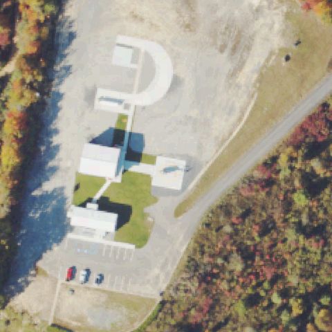
Aerial tile for WV47Confirmed

WV47 Emergency Air Lift Pad

MOUNT NEBO, WV

38.196930556, -80.864438889

A pad with a circular marking sits near center beside a helipad-marked paved turnaround at the air lift site.

✓ Confirmed by AI vision with Claude Opus 4.8

75% confidence Verify on the map →
Is there really a pad here?