 Not visible
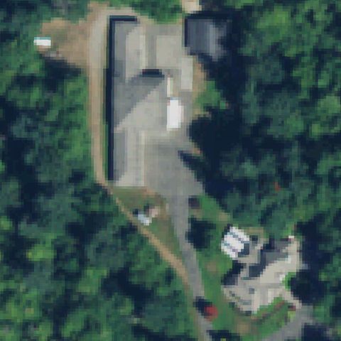
WA06 Don Johnson Home
AUBURN, WA
47.3016250000001, -122.143222222
Center is a wooded residential driveway and clearing with no pad.
85% confidence
Verify on the map →
Is there really a pad here?
Data: FAA Airports (ArcGIS open layer) | Imagery: USGS NAIP (public domain) | AI vision: Claude Opus 4.8 | built 2026-07-05
A flag means a pad could not be confirmed from current imagery - never that a heliport is missing, fake, or mislocated. Help us check: vote on each one below.
Not visibleAUBURN, WA
47.3016250000001, -122.143222222
Center is a wooded residential driveway and clearing with no pad.
 Not visible
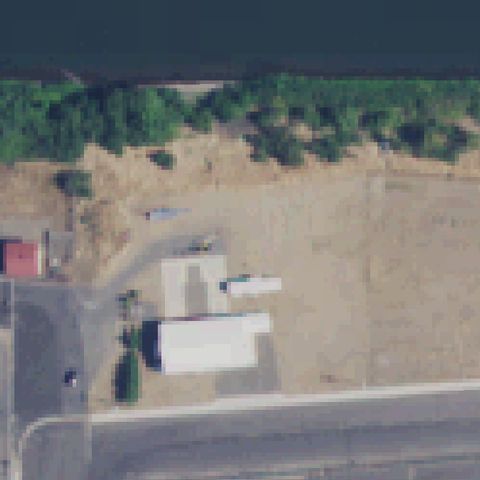
CLARKSTON, WA
46.4266666670001, -117.058055556
Center is bare dirt and small buildings with no landing markings.
 Not visible
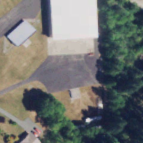
COUGAR, WA
46.049502778, -122.302975
Center is forest with a residential cluster and no pad.
 Not visible
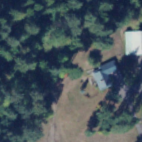
DARRINGTON, WA
48.2642758330001, -121.591792222
Center is dense forest with a house in the corner; no pad.
 Not visible
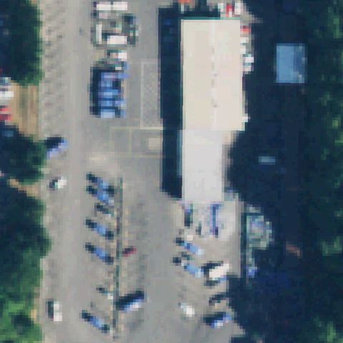
BELLEVUE, WA
47.6252305560001, -122.1704
Center is parking lots and buildings with no pad markings.
 Not visible
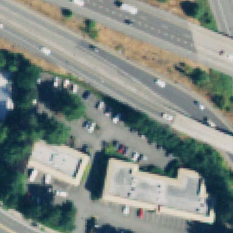
BELLEVUE, WA
47.630376944, -122.176234167
Center is a freeway, parking and office buildings with no pad.
 Not visible
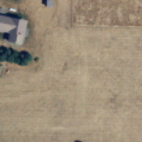
BELLINGHAM, WA
48.852108333, -122.330255556
Center is open bare dirt with no markings or prepared pad.
 Not visible
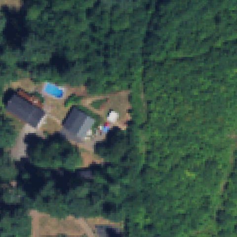
CAMAS, WA
45.6498444440001, -122.352794444
Center is forest; a residential cluster sits in the lower-left only.
 Not visible
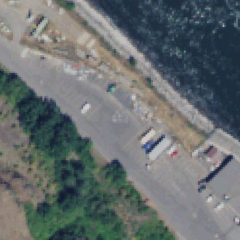
COLFAX, WA
46.6613750000001, -117.437988889
Center is a dam access road beside water with no pad markings.
 Not visible
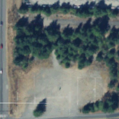
GRAHAM, WA
47.0600000000001, -122.293888889
Center is a dirt clearing ringed by trees with no markings.
 Not visible
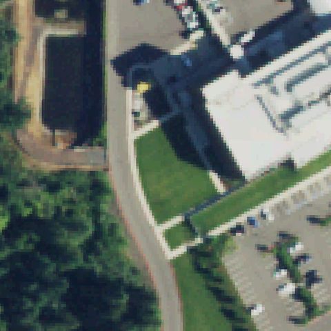
KING COUNTY, WA
47.512527778, -121.886333333
Center is grass and driveway by the hospital with no pad marking.
 Not visible
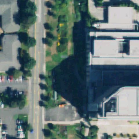
KIRKLAND, WA
47.715952778, -122.180636111
Center is a tree-lined road and shadowed building edge; no pad.
 Not visible
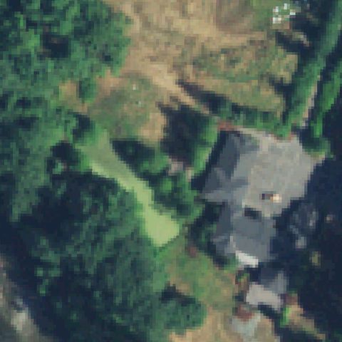
MACHIAS, WA
47.9824750000001, -122.037894444
Center is forest and lawn beside a house roof with no pad.
 Not visible
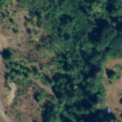
MARYSVILLE, WA
48.042038889, -122.225691667
Center is brush and forest clearings with no pad markings.
 Not visible
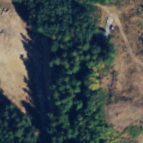
MOUNT VERNON, WA
48.3794833330001, -122.290386111
Center is forest and dirt roads with no pad markings.
 Not visible
NAPAVINE, WA
46.5498280560001, -122.851230556
Center is dense unbroken forest with no pad.
 Not visible
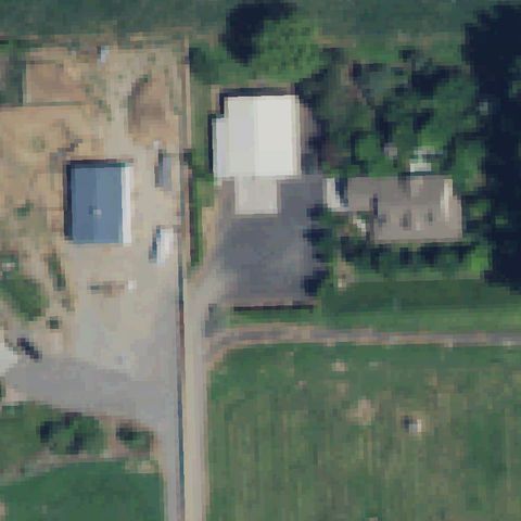
PASCO, WA
46.3740333330001, -119.206588889
Center shows buildings, driveway and field with no pad markings.
 Not visible
EVERETT, WA
47.9983333330001, -122.246666667
Entire image is open water with no pad.
 Not visible
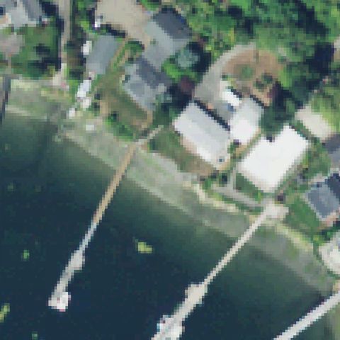
GIG HARBOR, WA
47.3368833330001, -122.5795
Waterfront homes, docks and water at center with no pad.
 Not visible
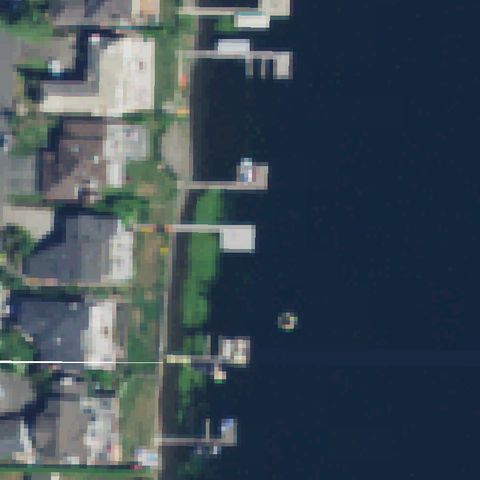
ISSAQUAH, WA
47.559597222, -122.079330556
Shoreline, docks and water at center with no pad markings.
 Not visible
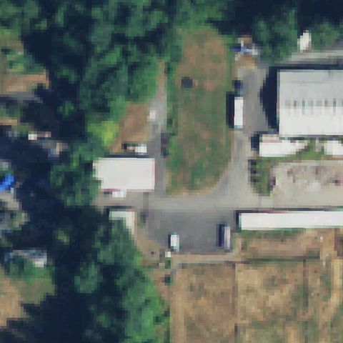
ISSAQUAH, WA
47.537266667, -122.060616667
Trees, driveway and buildings at center with no pad.
 Not visible
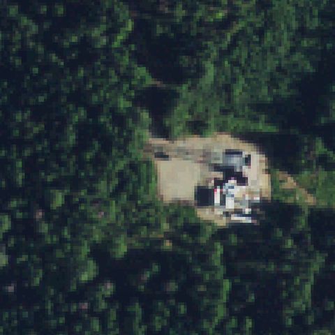
METALINE FALLS, WA
48.9189944440001, -117.416122222
Small forest clearing with buildings and no pad markings.
 Not visible
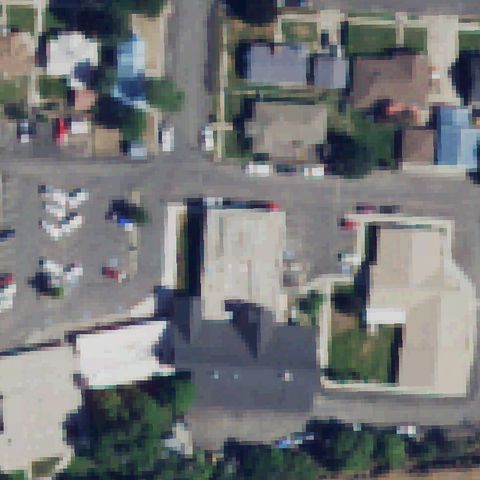
ODESSA, WA
47.3314638890001, -118.682294444
Buildings and parking lots at center with no pad.
 Not visible
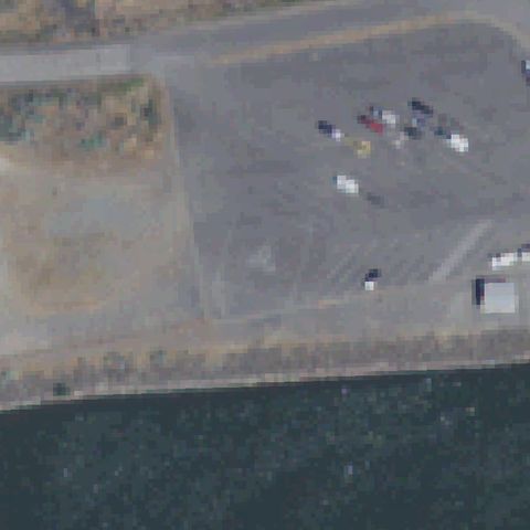
PASCO, WA
46.252722222, -118.878469444
Gravel/paved lot beside water at center with no pad markings.
 Not visible
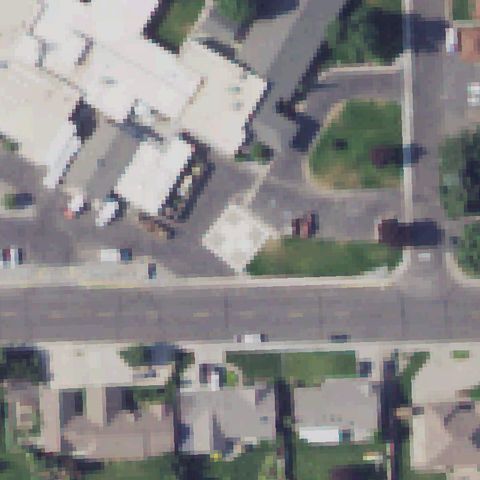
QUINCY, WA
47.2305111110001, -119.867663889
Buildings and street at center with no pad markings.
 Not visible
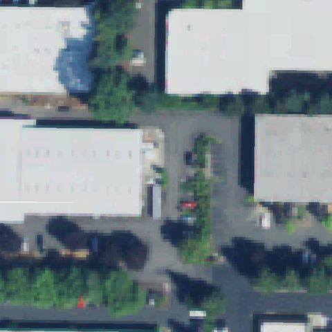
REDMOND, WA
47.6844222220001, -122.135211111
Industrial buildings and parking at center with no pad.
 Not visible
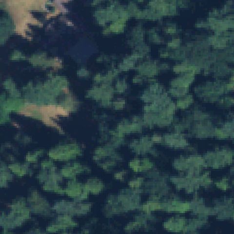
REDMOND, WA
47.6742661110001, -122.073733333
Dense forest fills the image with no pad.
 Not visible
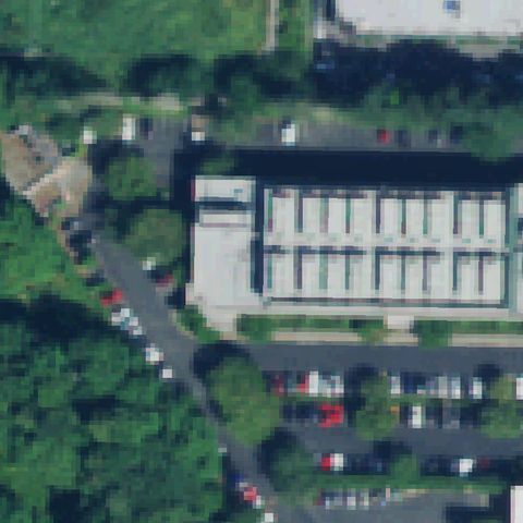
REDMOND, WA
47.6820433330001, -122.148456389
Building and parking surrounded by trees, no pad at center.
 Not visible
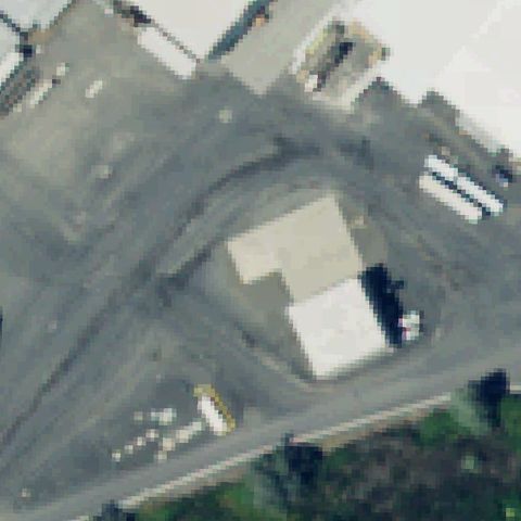
SELAH, WA
46.6754194440001, -120.506180556
Paved yard with buildings and trucks, no pad markings at center.
 Not visible
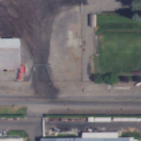
SPOKANE, WA
47.686284722, -117.197983889
Paved yard beside a building, no pad markings at center.
 Not visible
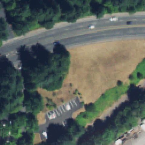
VANCOUVER, WA
45.6681722220001, -122.643708333
Road, field and trees at center with no pad.
 Not visible
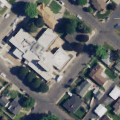
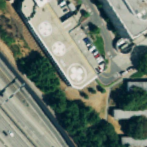
RITZVILLE, WA
47.1211111110001, -118.371616667
Center shows a generic hospital building, streets and trees with no pad markings.
 Not visible
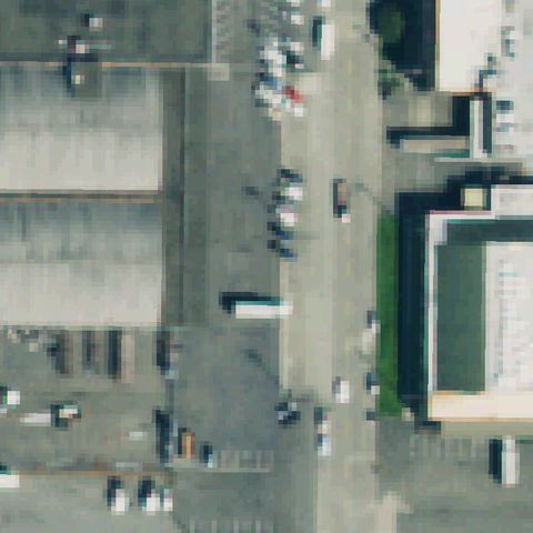
SEATTLE, WA
47.6028138890001, -122.324683333
Center is an urban street and plaza area with no visible pad.
 Not visible
SEATTLE, WA
47.5845427780001, -122.326236944
Center shows a paved lot and warehouses with no pad markings.
 Not visible
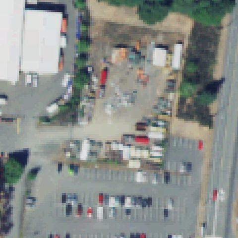
SILVERDALE, WA
47.6998161110001, -122.703762778
Center is an industrial storage yard with vehicles and no pad.
 Not visible
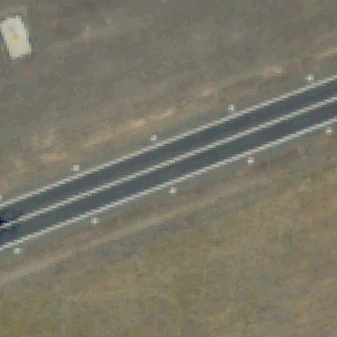
YAKIMA, WA
46.6694191670001, -120.455966389
Center shows a straight paved track/road, not a helicopter landing pad.
 Not visible
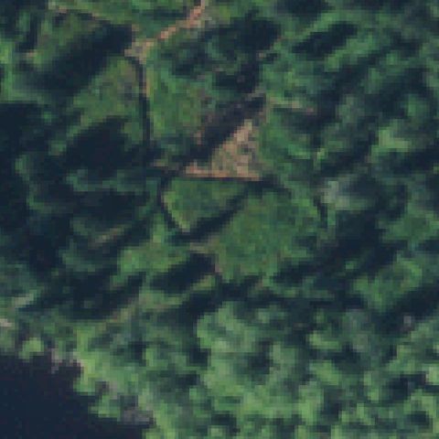
QUILCENE, WA
47.926063889, -122.853122222
Center is dense forest with no clearing or pad.
 Not visible
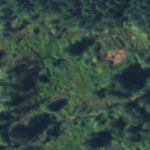
QUILCENE, WA
47.9273944440001, -122.855047222
Center is unbroken forest canopy with no visible pad.
 Not visible
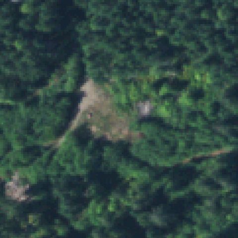
QUILCENE, WA
47.927569444, -122.852388889
Center is forest with a small bare patch but no marked landing pad.
 Not visible
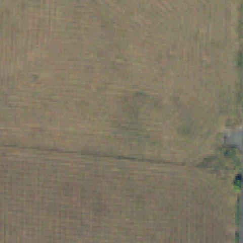
MOSSYROCK, WA
46.524522222, -122.471422222
Center is a plowed agricultural field with no pad.
 Not visible
TAHOLAH, WA
47.339525, -124.282105556
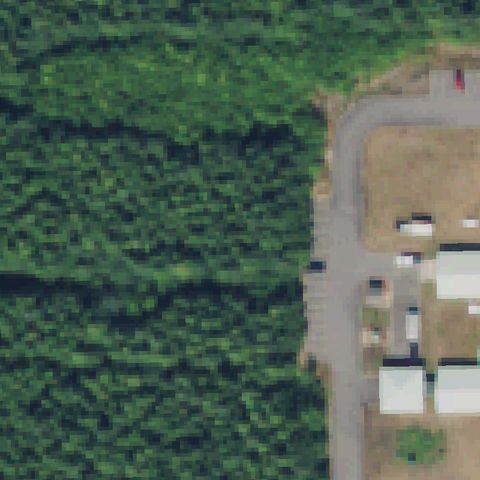
Center is forest beside a cleared lot with no visible landing pad.
 Not visible
UNION, WA
47.348572222, -123.070063889
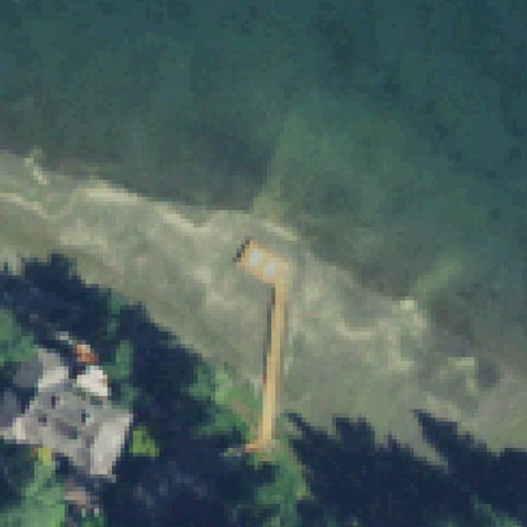
Center is shoreline water and a dock with no landing pad.
 Not visible
SEQUIM, WA
48.0768333330001, -123.095194444
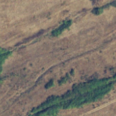
Center is bare open field with no pad or markings.
 Not visible
PROSSER, WA
46.224228, -119.787095
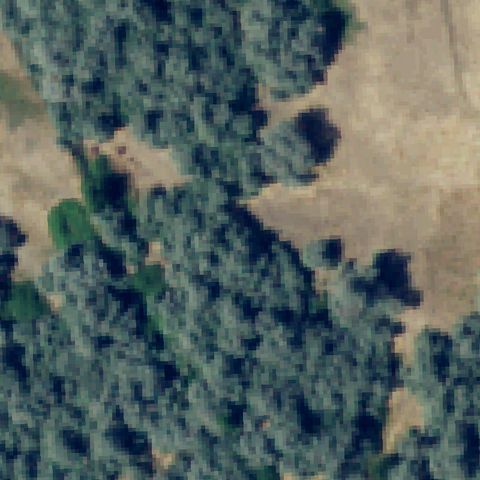
Center is tree-covered/cleared land with no visible pad.
 Not visible
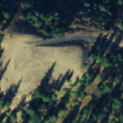
CLE ELUM, WA
47.22394, -120.90553
Center is a light clearing in forest but shows no marked landing pad.
 Off-center
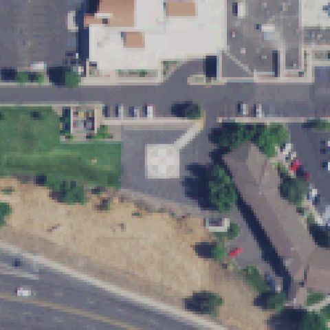
CLARKSTON, WA
46.402091667, -117.055580556
Faint light square pad sits left of center amid parking and buildings.
 Off-center
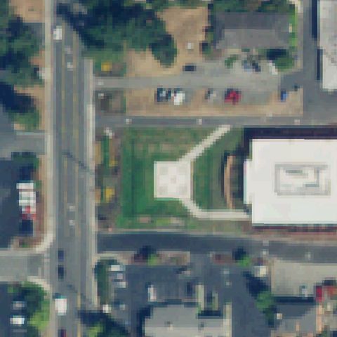
COUPEVILLE, WA
48.2131666670001, -122.685666667
Light square landscaped pad left of center near a hospital building.
 Off-center
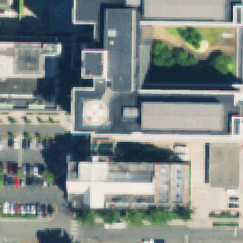
EVERETT, WA
47.9995361110001, -122.205933333
Round rooftop pad on a building left of center at the hospital.
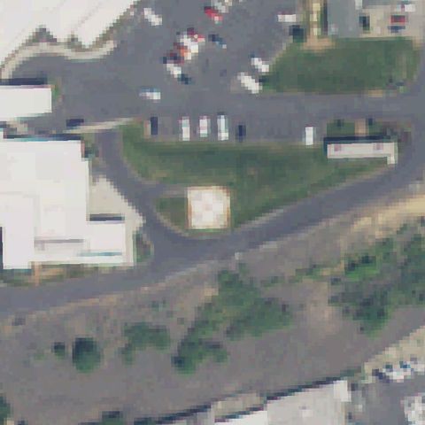 Off-center
GRAND COULEE, WA
47.9419, -119.007094444
Small light square pad on grass below and left of center.
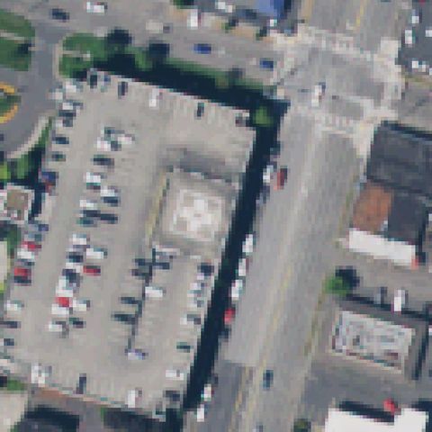 Off-center
LONGVIEW, WA
46.1303750000001, -122.940216667
Square pad with quadrant H marking left of center at the hospital.
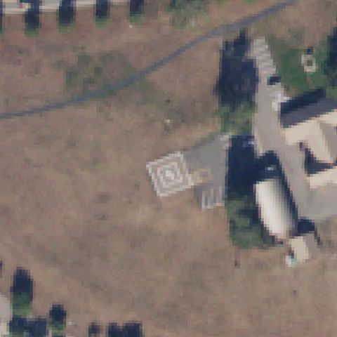 Off-center
NEWHALEM, WA
48.6719444440001, -121.252222222
Square ground pad with a closed-S marking left of center at the office site.
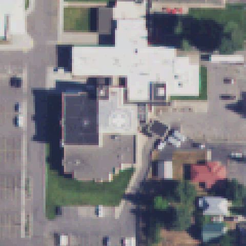 Off-center
NEWPORT, WA
48.182163889, -117.049280556
Square pad with quadrant H marking below center at the hospital.
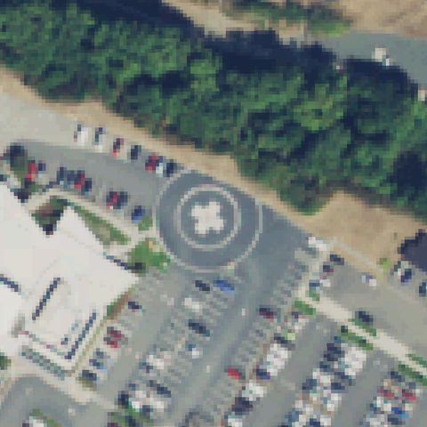 Off-center
PORT ANGELES, WA
48.1155000000001, -123.413333333
Circular pad marker visible below-left of center; center is forest and road.
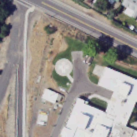 Off-center
EPHRATA, WA
47.315033333, -119.547277778
Round pad marker sits left of center; center is parking and buildings.
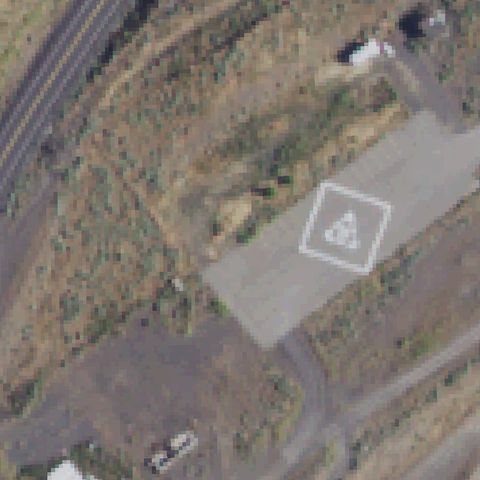 Off-center
KAHLOTUS, WA
46.561927778, -118.54595
Square pad with marking sits right of center; center is brush.
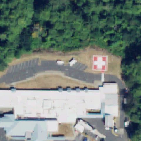 Off-center
SOUTH BEND, WA
46.663111111, -123.812105556
Red/white cross pad visible right of center on the hospital.
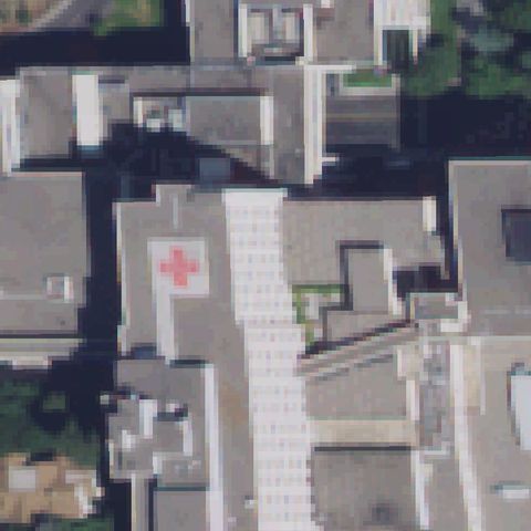 Off-center
SPOKANE, WA
47.649127778, -117.413077778
Red cross rooftop marking left of center; center is rooftop walkway.
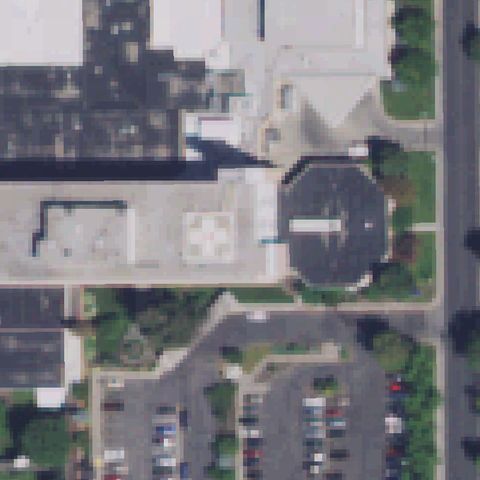 Off-center
SPOKANE, WA
47.709458333, -117.406641667
White cross-marked rooftop pad just left of center.
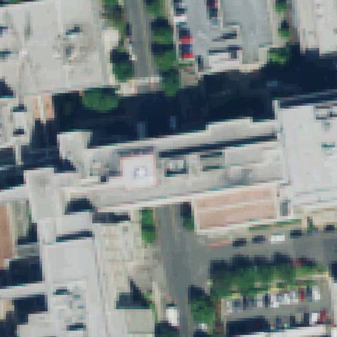 Off-center
TACOMA, WA
47.2596972220001, -122.452002778
Faint small marked rooftop pad near center-left of the hospital.
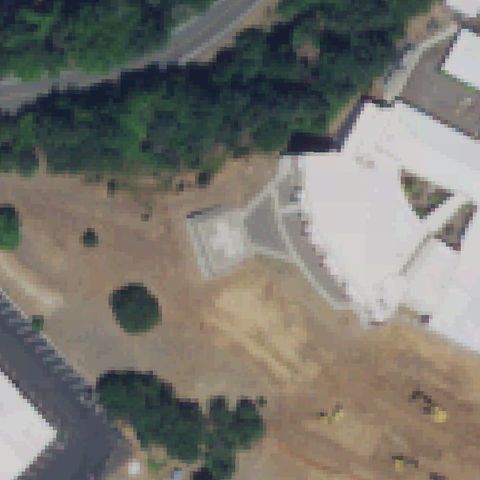 Off-center
WHITE SALMON, WA
45.7222305560001, -121.471472222
Faint light-gray prepared pad near center-left, partly obscured by construction.
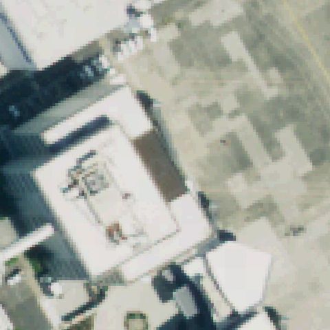 Off-center
SEATTLE, WA
47.5367652780001, -122.31318
A circular/cross rooftop marking appears left of center on the industrial building.
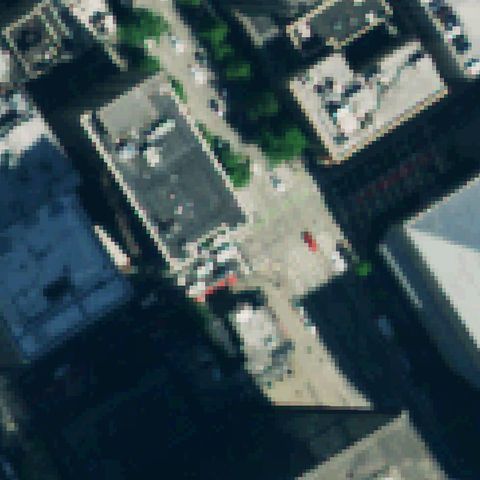 Off-center
SEATTLE, WA
47.606764722, -122.3337375
Circular rooftop pad markings appear upper-left of the rooftop, not at center.
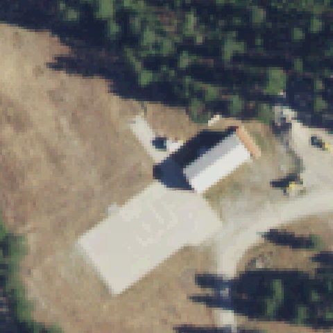 Off-center
CUSICK, WA
48.4236111110001, -117.363166667
A light rectangular pad sits left of center near the building on a dirt site.
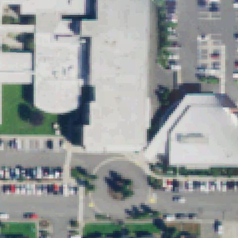 Uncertain
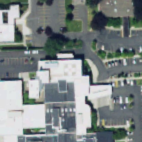
ANACORTES, WA
48.5016666670001, -122.614444444
Large hospital rooftop at center but no distinct touchdown marking visible.
 Uncertain
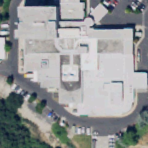
ELLENSBURG, WA
46.987655556, -120.537819444
Hospital complex at center with parking; no distinct pad marking visible.
 Uncertain
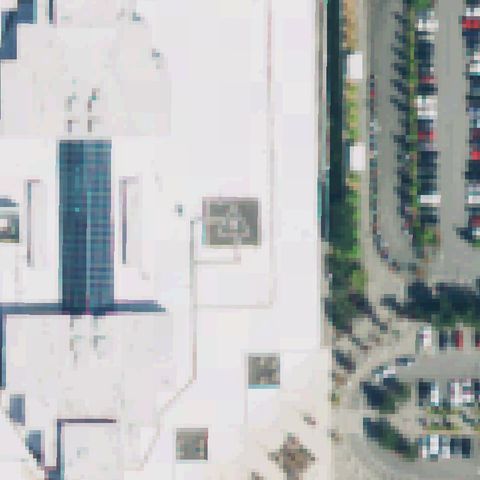
MOSES LAKE, WA
47.1281638890001, -119.265438889
Large hospital rooftop at center but no distinct touchdown marking visible.
 Uncertain
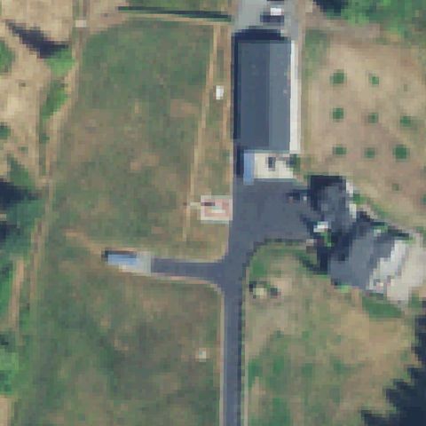
EVERETT, WA
47.9317638890001, -122.263116667
Large white roof with ambiguous markings but no clear touchdown pad at center.
 Uncertain
LAKE STEVENS, WA
48.038588889, -122.061097222
Field and building at center; only a small faint roadside marker, no clear pad.
 Uncertain
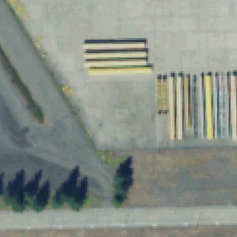
PUYALLUP, WA
47.0829055560001, -122.347025
Painted parking/striping on pavement, no helicopter pad at center.
 Uncertain
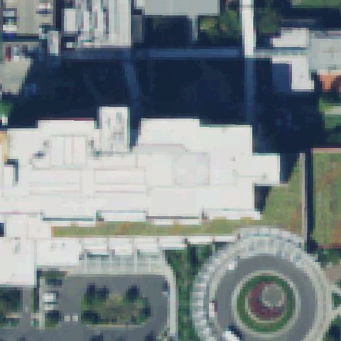
PUYALLUP, WA
47.178616667, -122.289925
Hospital rooftops at center with no clear touchdown marking; circle at corner is a garden.
 Uncertain
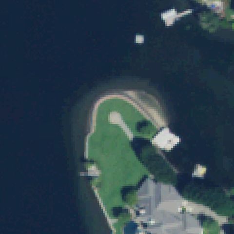
REDMOND, WA
47.6424527780001, -122.083686111
Lawn point with a house/dock structure; center is grass with no pad marking.
 Uncertain
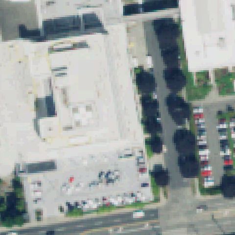
TACOMA, WA
47.2445500000001, -122.447455556
Large hospital rooftops at center with no clear pad marking.
 Uncertain
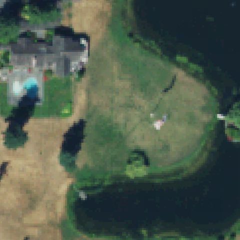
VASHON, WA
47.4045722220001, -122.488236111
Open grass field at center with only a faint indistinct mark, no clear pad.
 Uncertain
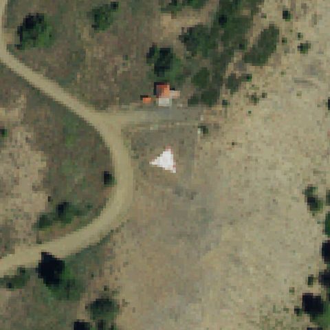
WHITE SWAN, WA
46.226019444, -121.136261111
White triangle is a lookout/survey marker, not a helicopter pad.
 Uncertain
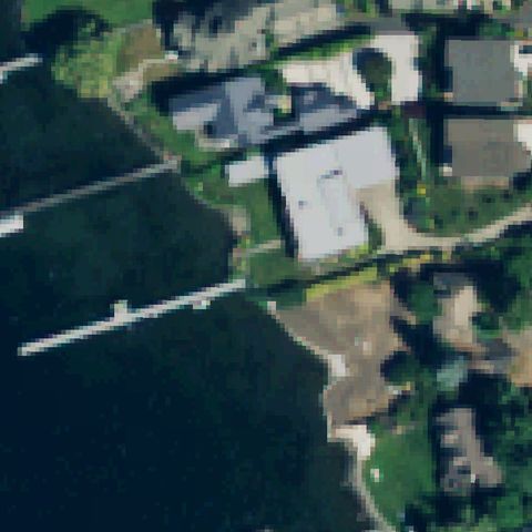
RENTON, WA
47.5181777780001, -122.210908333
Homes, water and docks; building roof at center has no clear pad marking.
 Uncertain
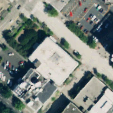
SEATTLE, WA
47.6177250000001, -122.350402778
Large light rooftop at center but no distinct touchdown marking or prepared pad is visible.
 Uncertain
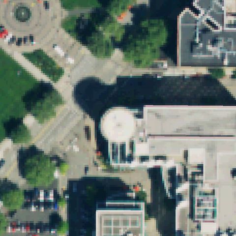
SEATTLE, WA
47.6196055560001, -122.34865
A round rooftop structure sits near center but shows no helipad markings.
 Uncertain
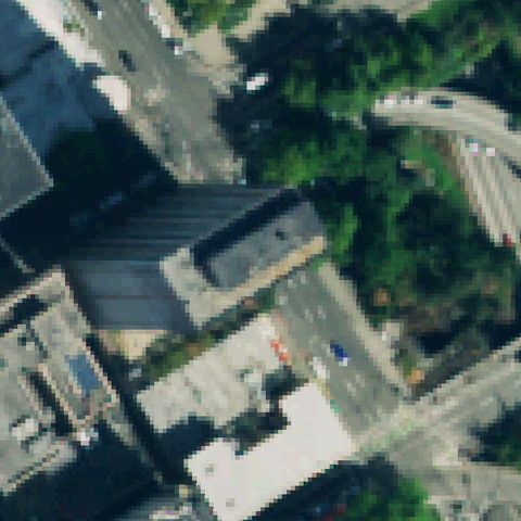
SEATTLE, WA
47.6081538890001, -122.331793333
A dark building rooftop occupies center with no visible touchdown marking.
 Uncertain
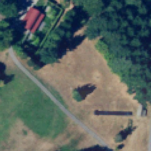
SHAW ISLAND, WA
48.5851777780001, -122.921405556
Center is an open dirt field; a dark rectangle low in frame is not a marked pad.
 Uncertain
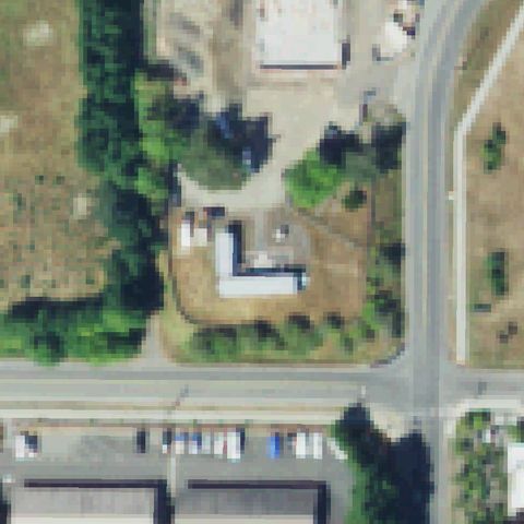
WALLA WALLA, WA
46.061383333, -118.342147222
Center shows a building courtyard rooftop with no distinct touchdown marking.
 Uncertain
BAINBRIDGE ISLAND, WA
47.643294444, -122.521508333
Center has small buildings and a dirt yard with no visible pad markings.
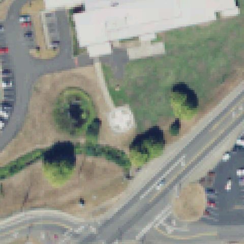 Uncertain
ELMA, WA
47.006308333, -123.392175
Center is landscaped lawn; a round white object is decorative, not a pad.
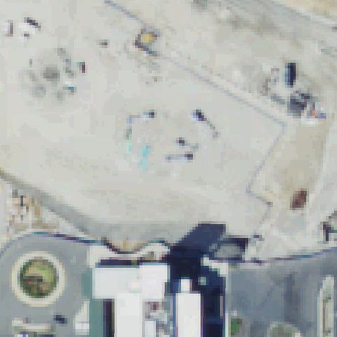 Uncertain
SILVERDALE, WA
47.6568916670001, -122.675036111
Center is a bare construction/storage lot with no pad markings.
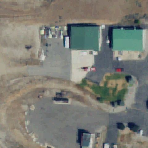 Uncertain
MALAGA, WA
47.367972222, -120.204833333
Center shows buildings, parking and a roundabout with no helipad.
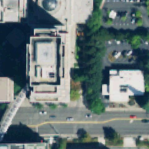 Uncertain
BELLEVUE, WA
47.6177777780001, -122.200058333
A building rooftop occupies center with no distinct touchdown marking.
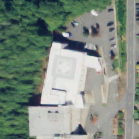 Confirmed
ABERDEEN, WA
46.9798916670001, -123.847080556
Faint square touchdown marker on a white hospital rooftop at image center.
✓ Confirmed by AI vision with Claude Opus 4.8
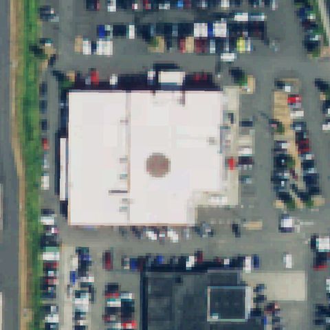 Confirmed
AUBURN, WA
47.332883333, -122.222816667
Distinct round touchdown pad on a large flat rooftop at center.
✓ Confirmed by AI vision with Claude Opus 4.8
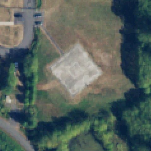 Confirmed
BLAINE, WA
48.975638889, -122.721280556
Light square prepared pad on cleared ground near center.
✓ Confirmed by AI vision with Claude Opus 4.8
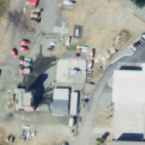 Confirmed
BREMERTON, WA
47.5539027780001, -122.682433333
Prepared pad with a helicopter parked on it near image center.
✓ Confirmed by AI vision with Claude Opus 4.8
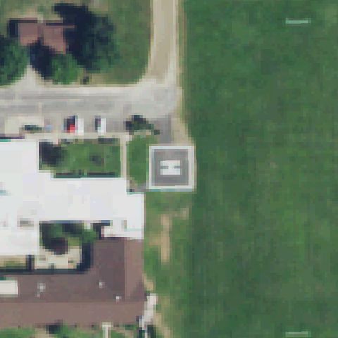 Confirmed
CHEWELAH, WA
48.2780222220001, -117.710019444
Square ground pad with an H marking just right of center.
✓ Confirmed by AI vision with Claude Opus 4.8
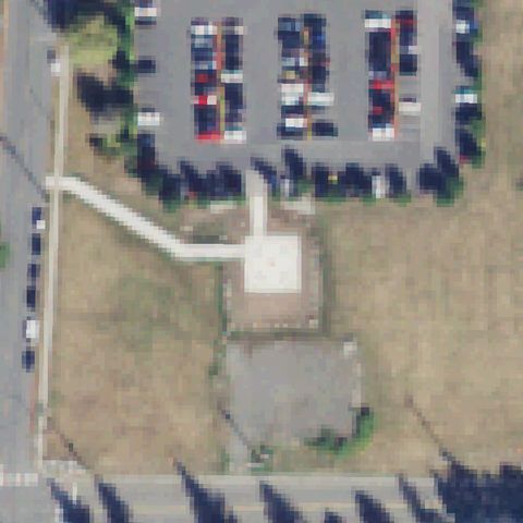 Confirmed
ARLINGTON, WA
48.1883222220001, -122.116983333
Square ground pad with faint center marking near image center by hospital lot.
✓ Confirmed by AI vision with Claude Opus 4.8
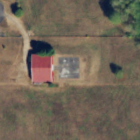 Confirmed
ARLINGTON, WA
48.1533277780001, -122.233919444
Light square prepared pad with faint markings near center beside a home.
✓ Confirmed by AI vision with Claude Opus 4.8
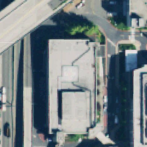 Confirmed
BELLEVUE, WA
47.6215638890001, -122.187730556
Faint square outline on a large flat building rooftop near center.
✓ Confirmed by AI vision with Claude Opus 4.8
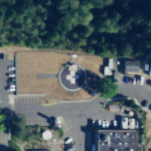 Confirmed
BELLINGHAM, WA
48.774575, -122.473930556
Round pad with a helicopter on it at image center by the hospital.
✓ Confirmed by AI vision with Claude Opus 4.8
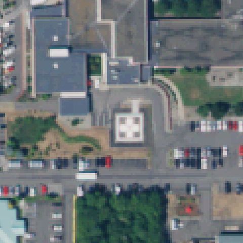 Confirmed
CENTRALIA, WA
46.7116583330001, -122.985775
Square pad with quadrant H marking near center by hospital building.
✓ Confirmed by AI vision with Claude Opus 4.8
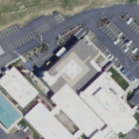 Confirmed
COLFAX, WA
46.869491667, -117.376005556
Light square pad with faint quadrant marking near center at hospital.
✓ Confirmed by AI vision with Claude Opus 4.8
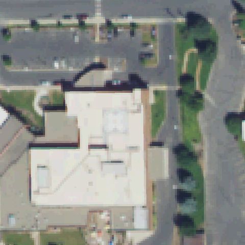 Confirmed
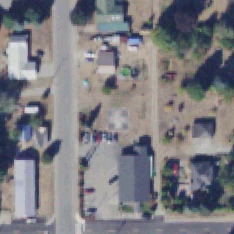
COLVILLE, WA
48.5408166670001, -117.891536111
Faint square pad outline on the hospital rooftop near center.
✓ Confirmed by AI vision with Claude Opus 4.8
 Confirmed
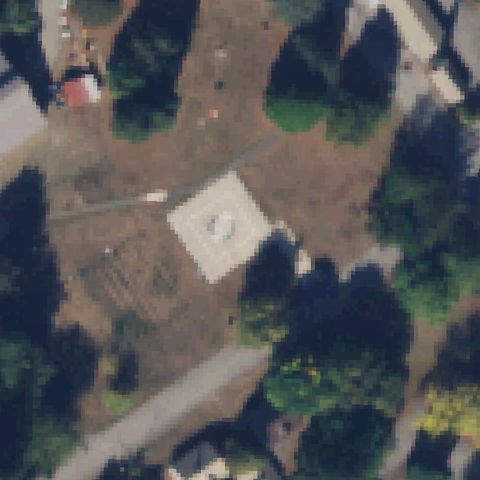
DARRINGTON, WA
48.253475, -121.608469444
Light square pad with faint markings near center in a residential lot.
✓ Confirmed by AI vision with Claude Opus 4.8
 Confirmed
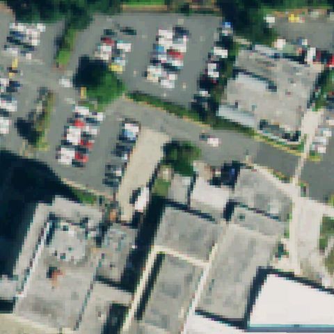
DIABLO, WA
48.7137500000001, -121.141111111
Square pad with a circular touchdown marking at image center.
✓ Confirmed by AI vision with Claude Opus 4.8
 Confirmed
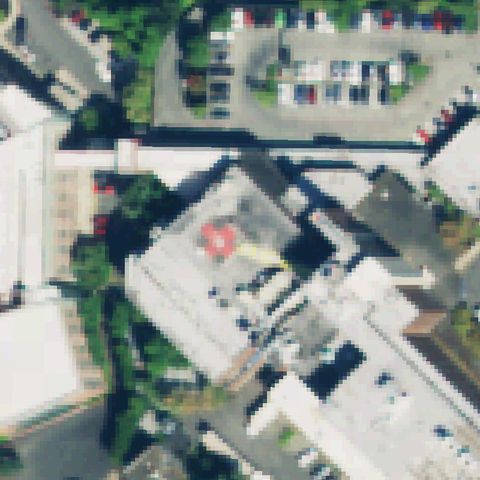
EDMONDS, WA
47.803707778, -122.334298056
Square rooftop pad with quadrant dots near center at the hospital.
✓ Confirmed by AI vision with Claude Opus 4.8
 Confirmed
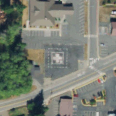
EVERETT, WA
47.9757777780001, -122.217263889
Red H marking on a hospital rooftop pad near image center.
✓ Confirmed by AI vision with Claude Opus 4.8
 Confirmed
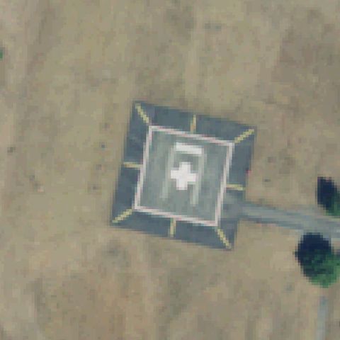
FORKS, WA
47.9464611110001, -124.394186111
Marked square pad with quadrant H on the lot near center at hospital.
✓ Confirmed by AI vision with Claude Opus 4.8
 Confirmed
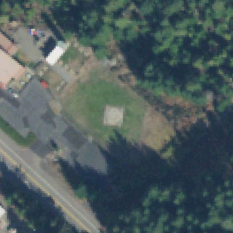
FORT LEWIS, WA
47.109833333, -122.557166667
Clearly marked square helipad with H and cross dead center.
✓ Confirmed by AI vision with Claude Opus 4.8
 Confirmed
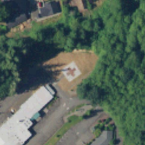
GREENWATER, WA
47.144933333, -121.636236111
Faint light square pad on a grassy clearing near center.
✓ Confirmed by AI vision with Claude Opus 4.8
 Confirmed
MC CLEARY, WA
47.0561638890001, -123.259686111
Light square pad with a red H marking in a clearing near center.
✓ Confirmed by AI vision with Claude Opus 4.8
 Confirmed
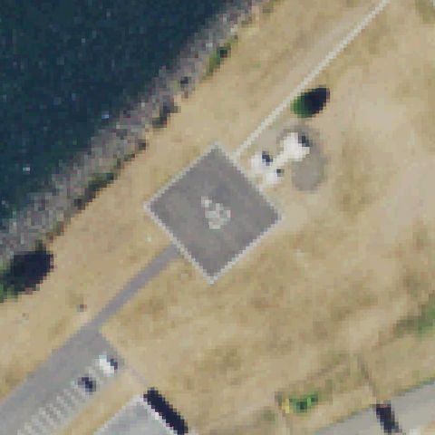
NEAH BAY, WA
48.3704527780001, -124.598119444
Square pad with a circular touchdown marking near center by the water.
✓ Confirmed by AI vision with Claude Opus 4.8
 Confirmed
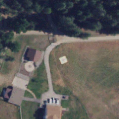
NEWMAN LAKE, WA
47.776944444, -117.083888889
Light square pad on a grassy field near center beside a driveway.
✓ Confirmed by AI vision with Claude Opus 4.8
 Confirmed
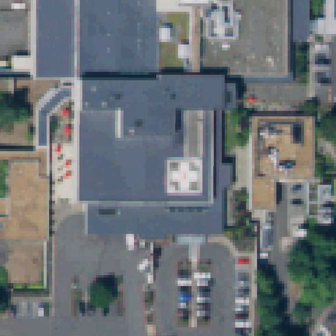
OLYMPIA, WA
47.0521138890001, -122.8474
Square rooftop pad with a quadrant cross marking near center at hospital.
✓ Confirmed by AI vision with Claude Opus 4.8
 Confirmed
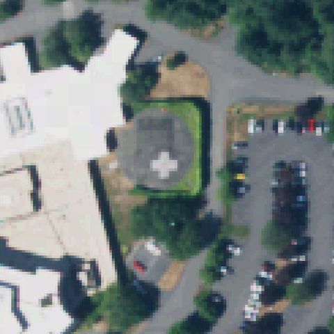
OLYMPIA, WA
47.043111111, -122.950988889
Ground pad with a white cross quadrant marking near center at hospital.
✓ Confirmed by AI vision with Claude Opus 4.8
 Confirmed
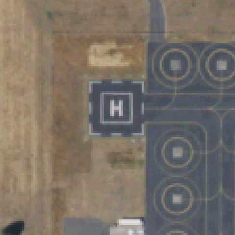
OLYMPIA, WA
46.965263889, -122.891502778
Painted H pad with adjacent circular touchdown markers at image center.
✓ Confirmed by AI vision with Claude Opus 4.8
 Confirmed
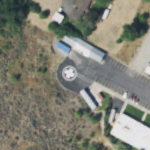
OMAK, WA
48.3972444440001, -119.547763889
Circular touchdown marker on a paved apron near center.
✓ Confirmed by AI vision with Claude Opus 4.8
 Confirmed
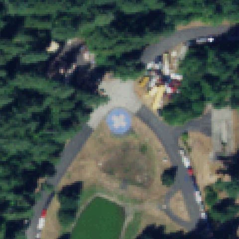
GIG HARBOR, WA
47.3522166670001, -122.625130556
Blue circular pad with central marking roughly at image center.
✓ Confirmed by AI vision with Claude Opus 4.8
 Confirmed
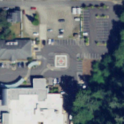
ILWACO, WA
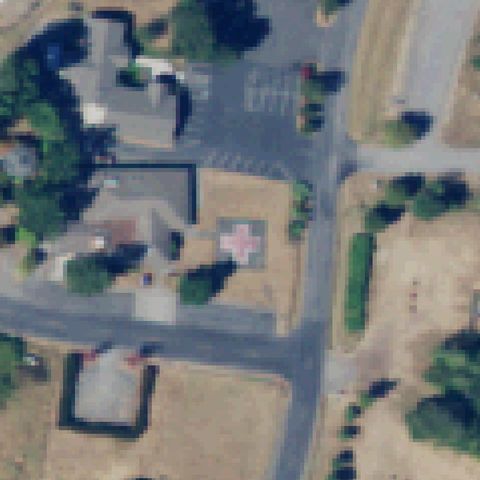
46.311847222, -124.042297222
Square prepared pad with cross/marking near center in parking area.
✓ Confirmed by AI vision with Claude Opus 4.8
 Confirmed
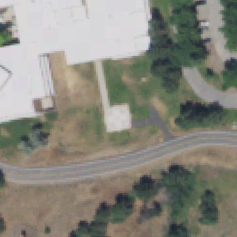
LOPEZ ISLAND, WA
48.524933333, -122.912388889
Pink/white cross pad marking near center on cleared ground.
✓ Confirmed by AI vision with Claude Opus 4.8
 Confirmed
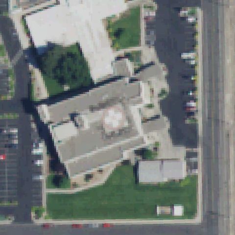
MEDICAL LAKE, WA
47.5731527780001, -117.704025
White square pad with cross marking just below center.
✓ Confirmed by AI vision with Claude Opus 4.8
 Confirmed
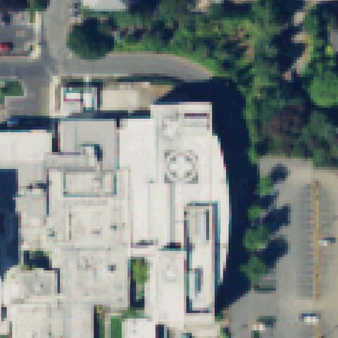
OTHELLO, WA
46.8298222220001, -119.155016667
Circular rooftop pad with cross marking near center of hospital.
✓ Confirmed by AI vision with Claude Opus 4.8
 Confirmed
PORT TOWNSEND, WA
48.1062555560001, -122.788741667
Circular cross-marked rooftop pad near center of hospital building.
✓ Confirmed by AI vision with Claude Opus 4.8
 Confirmed
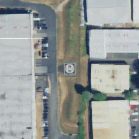
REDMOND, WA
47.6841055560001, -122.141394444
Clear painted H in a square marker near center.
✓ Confirmed by AI vision with Claude Opus 4.8
 Confirmed
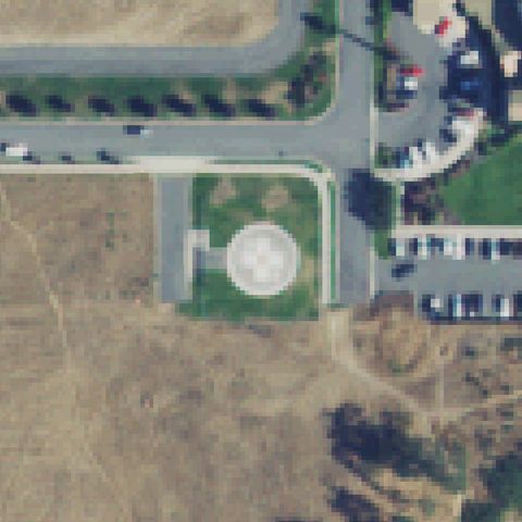
SEQUIM, WA
48.088416667, -123.110897222
Circular pad with cross marking near image center.
✓ Confirmed by AI vision with Claude Opus 4.8
 Confirmed
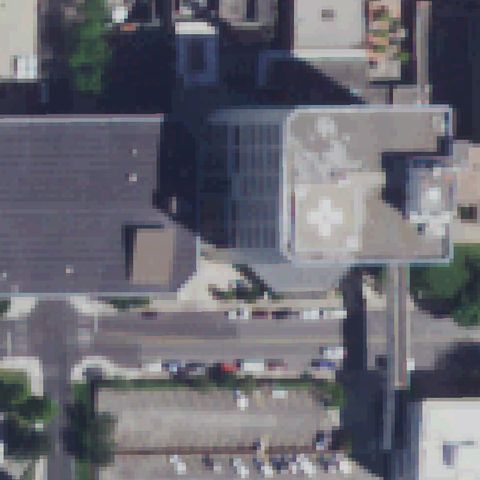
SPOKANE, WA
47.651638889, -117.424322222
White cross rooftop marking near center of hospital building.
✓ Confirmed by AI vision with Claude Opus 4.8
 Confirmed
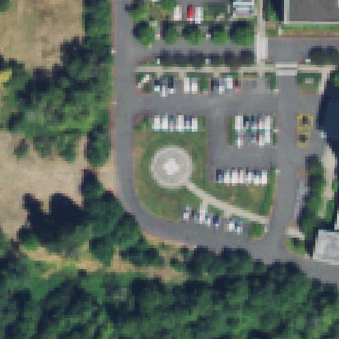
VANCOUVER, WA
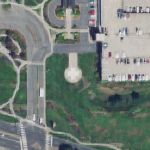
45.720202778, -122.64955
Circular pad with cross marking near center in landscaped area.
✓ Confirmed by AI vision with Claude Opus 4.8
 Confirmed
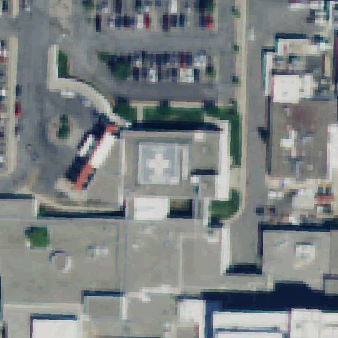
VANCOUVER, WA
45.6230444440001, -122.579905556
Round cross-marked pad near center beside the medical center.
✓ Confirmed by AI vision with Claude Opus 4.8
 Confirmed
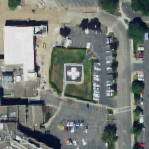
WENATCHEE, WA
47.4071888890001, -120.32125
White cross-marked rooftop pad near center of hospital.
✓ Confirmed by AI vision with Claude Opus 4.8
 Confirmed
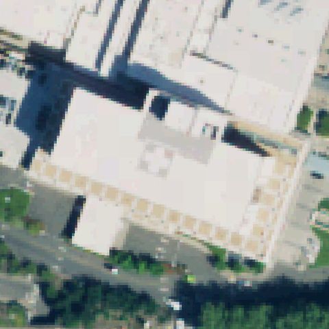
YAKIMA, WA
46.594063889, -120.546638889
Square pad with white cross marking on lawn near center.
✓ Confirmed by AI vision with Claude Opus 4.8
 Confirmed
RENTON, WA
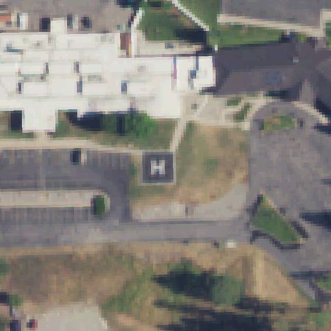
47.441797222, -122.214552778
White cross rooftop pad marking near center of medical center.
✓ Confirmed by AI vision with Claude Opus 4.8
 Confirmed
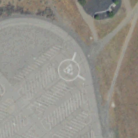
REPUBLIC, WA
48.652777778, -118.730983333
Clear painted H in a dark square pad near image center.
✓ Confirmed by AI vision with Claude Opus 4.8
 Confirmed
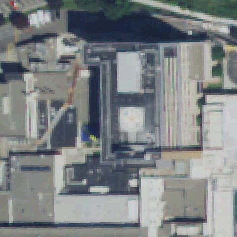
RICHLAND, WA
46.4633416670001, -119.341333333
Circular pad marker with central H on large paved apron near center.
✓ Confirmed by AI vision with Claude Opus 4.8
 Confirmed
RICHLAND, WA
46.2816472220001, -119.2823
Faint circular touchdown marking on the medical center rooftop near the image center.
✓ Confirmed by AI vision with Claude Opus 4.8
 Confirmed
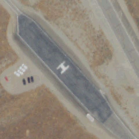
RICHLAND, WA
46.3580555560001, -119.333611111
A clear white H marking sits on the dark prepared pad at the image center.
✓ Confirmed by AI vision with Claude Opus 4.8
 Confirmed
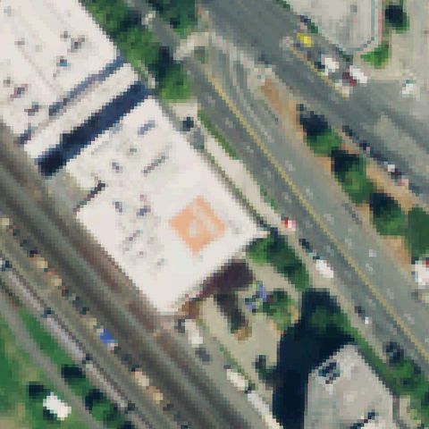
SEATTLE, WA
47.619663889, -122.360158333
An orange square touchdown marking is painted on the rooftop near center.
✓ Confirmed by AI vision with Claude Opus 4.8
 Confirmed
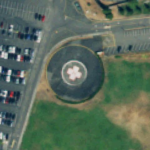
SEATTLE, WA
47.6581, -122.298380556
A distinct circular pad with a white cross/H marking is centered in the image.
✓ Confirmed by AI vision with Claude Opus 4.8
 Confirmed
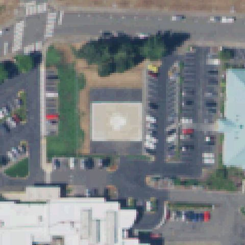
SHELTON, WA
47.226588889, -123.113983333
A light square pad with a faint center marking sits at the image center near the hospital lot.
✓ Confirmed by AI vision with Claude Opus 4.8
 Confirmed
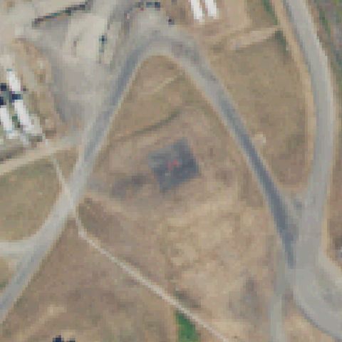
STEILACOOM, WA
47.1961305560001, -122.661386111
A faint dark square with a small H-like marking sits at center on bare ground.
✓ Confirmed by AI vision with Claude Opus 4.8
 Confirmed
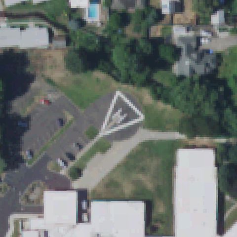
WALLA WALLA, WA
46.0559500000001, -118.329522222
A white triangular FATO outline with markings sits just left of center.
✓ Confirmed by AI vision with Claude Opus 4.8
 Confirmed
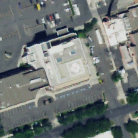
YAKIMA, WA
46.596191667, -120.52225
A circular touchdown marking is visible on the building rooftop at center.
✓ Confirmed by AI vision with Claude Opus 4.8
 Confirmed
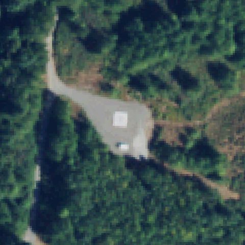
SEDRO WOOLLEY, WA
48.591455556, -122.2592
A small white square pad sits on a gravel clearing at the image center surrounded by forest.
✓ Confirmed by AI vision with Claude Opus 4.8
 Confirmed
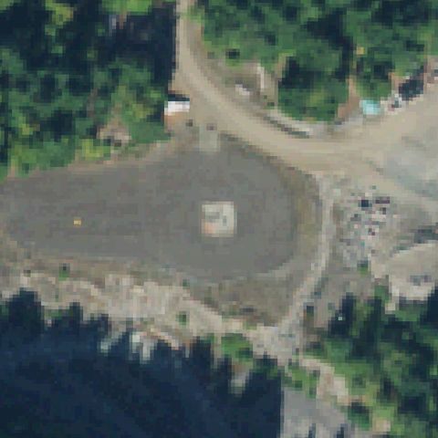
ASHFORD, WA
46.7297600000001, -121.856742444
A light square pad marking sits at center on a large gravel helibase clearing.
✓ Confirmed by AI vision with Claude Opus 4.8
 Confirmed
MT VERNON, WA
48.4180527780001, -122.324419444
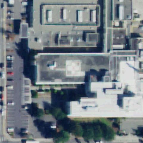
A light square touchdown pad marking is visible on the hospital rooftop at center.
✓ Confirmed by AI vision with Claude Opus 4.8
 Confirmed
SEATTLE, WA
47.6626166670001, -122.283761111
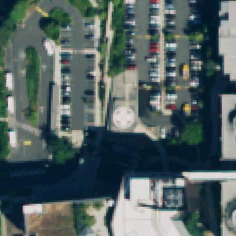
A light circular pad marking is visible amid the parking area near center.
✓ Confirmed by AI vision with Claude Opus 4.8
 Confirmed
PORT ANGELES, WA
48.0363833330001, -123.324233333
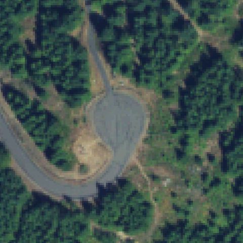
A distinct graded/paved clearing widens off the road bend at image center consistent with an unmarked landing zone, but no painted markings are visible.
✓ Confirmed by AI vision with Claude Opus 4.8
 Confirmed
MONSE, WA
48.143888889, -119.678888889
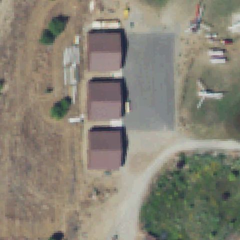
A gray prepared pad sits at center beside the barn structures on a private strip.
✓ Confirmed by AI vision with Claude Opus 4.8