 Not visible
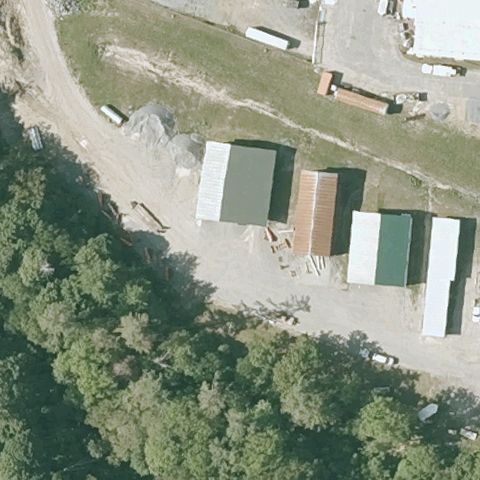
VT08 Bradford Armory
BRADFORD, VT
44.001455278, -72.123145833
Storage sheds and dirt lot at center, no landing pad marking visible.
70% confidence
Verify on the map →
Is there really a pad here?
Data: FAA Airports (ArcGIS open layer) | Imagery: USGS NAIP (public domain) | AI vision: Claude Opus 4.8 | built 2026-07-05
A flag means a pad could not be confirmed from current imagery - never that a heliport is missing, fake, or mislocated. Help us check: vote on each one below.
Not visibleBRADFORD, VT
44.001455278, -72.123145833
Storage sheds and dirt lot at center, no landing pad marking visible.
 Not visible
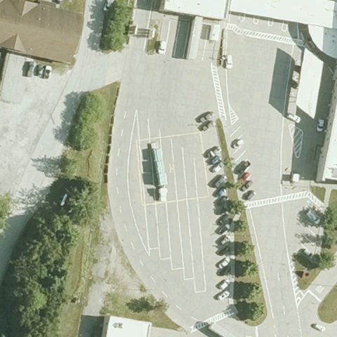
HIGHGATE SPRINGS, VT
45.012366667, -73.086297222
Ordinary paved parking lot at center with no pad markings.
 Not visible
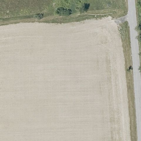
CORNWALL, VT
43.988602778, -73.2529388889999
Bare plowed/dirt field at center with no pad or markings.
 Not visible
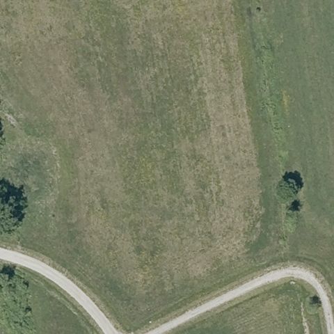
CORNWALL, VT
43.9894944440001, -73.239858333
Open grass field crossed by paths, no landing pad visible.
 Not visible
LEICESTER, VT
43.8747388890001, -73.104369444
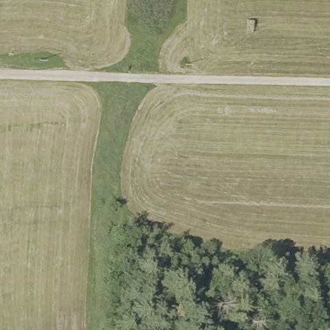
Farm fields and a road intersection at center, no helipad.
 Not visible
BRANDON, VT
43.8020333330001, -73.113019444
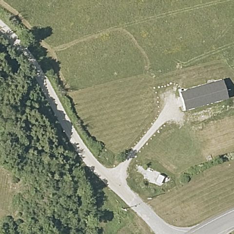
Fields, a barn and road at center with no landing pad marking.
 Not visible
VERNON, VT
42.741097, -72.515141
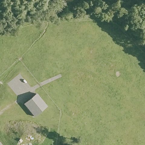
Open grass field with a building, no landing pad marking at center.
 Off-center
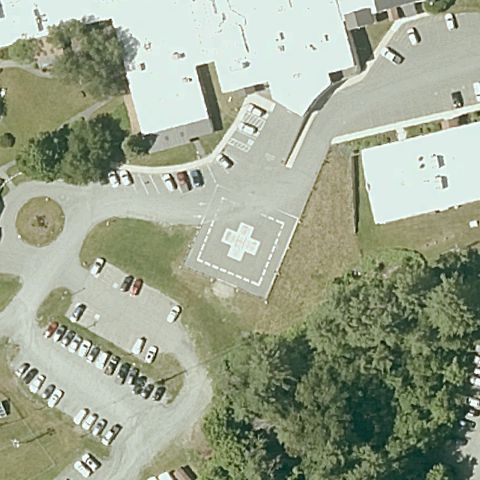
BARRE, VT
44.2193694440001, -72.5604083329999
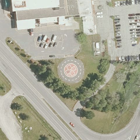
Circular pad with red touchdown marking present but sits below-right of center.
 Off-center
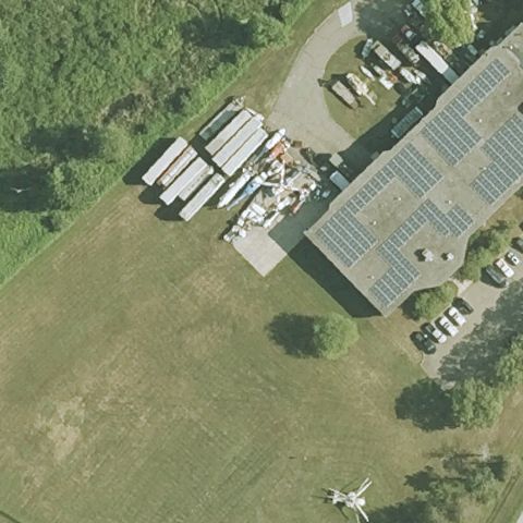
WINDSOR, VT
43.4868250000001, -72.403013889
Painted pad with red cross marking present but offset below-left of center.
 Uncertain
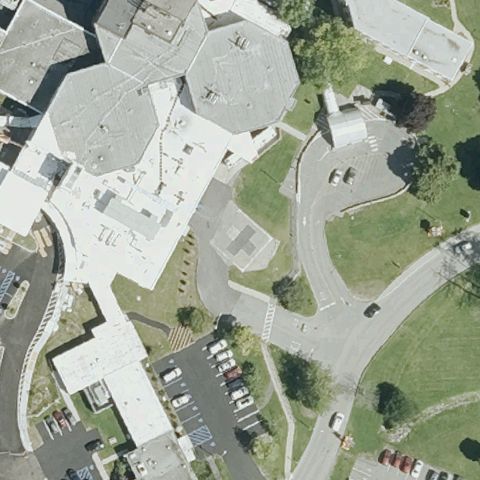
MILTON, VT
44.600041667, -73.1642666669999
A helicopter sits at the bottom edge but the image center is open grass with no marked pad.
 Uncertain
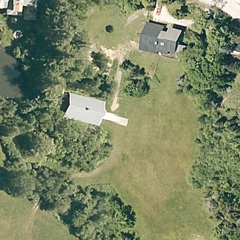
BENNINGTON, VT
42.873564861, -73.207228028
Hospital buildings and roadways at center with no discernible helipad.
 Uncertain
KILLINGTON, VT
43.653455556, -72.788827778
Houses and open lawn at center, no helipad visible.
 Uncertain
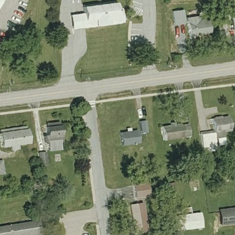
VERGENNES, VT
44.1708880560001, -73.246788889
Residential buildings and yards at center, no landing pad present.
 Uncertain
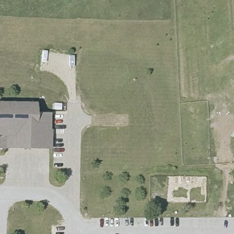
MIDDLEBURY, VT
44.0017611110001, -73.1678916669999
Grass and parking area at center with no clearly marked pad.
 Uncertain
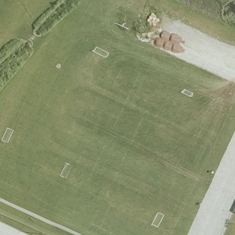
ST ALBANS CITY, VT
44.7925222220001, -73.077294444
Center shows a lined athletic/sports field, not a helipad.
 Confirmed
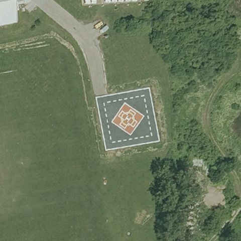
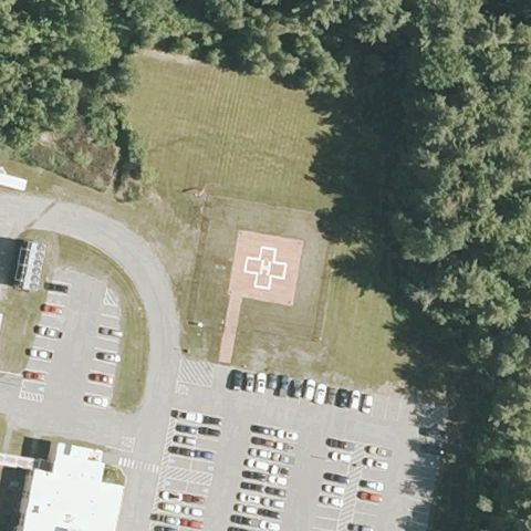
BURLINGTON, VT
44.473336111, -73.1888
Distinct painted touchdown pad with diamond/square marking centered in the field.
✓ Confirmed by AI vision with Claude Opus 4.8
 Confirmed
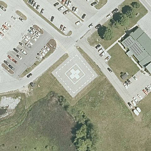
NEWPORT, VT
44.9560361110001, -72.1995277779999
Painted pad with red cross/H touchdown marking near center beside the hospital lot.
✓ Confirmed by AI vision with Claude Opus 4.8
 Confirmed
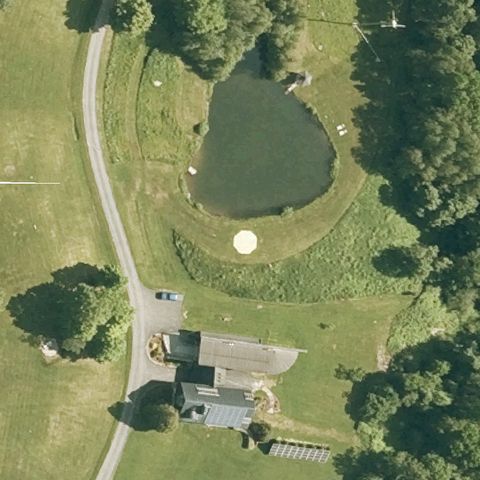
RUTLAND, VT
43.5971197220001, -72.953793944
Painted pad with red cross touchdown marking centered between lot and building.
✓ Confirmed by AI vision with Claude Opus 4.8
 Confirmed
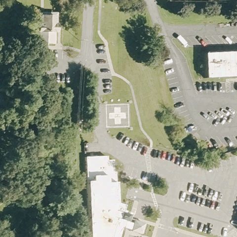
SOUTH LINCOLN, VT
44.058938889, -73.019483333
Small light circular touchdown marker in the grass near image center.
✓ Confirmed by AI vision with Claude Opus 4.8
 Confirmed
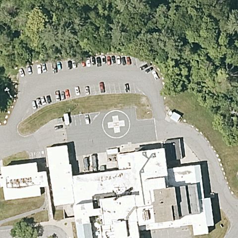
BRATTLEBORO, VT
42.8438972220001, -72.567033333
Painted pad with red cross marking near center at the hospital.
✓ Confirmed by AI vision with Claude Opus 4.8
 Confirmed
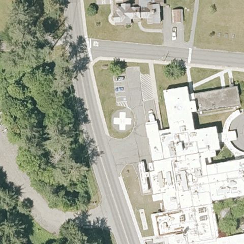
SPRINGFIELD, VT
43.2984666670001, -72.4945888889999
Painted pad with red cross marking on apron near center by the hospital.
✓ Confirmed by AI vision with Claude Opus 4.8
 Confirmed
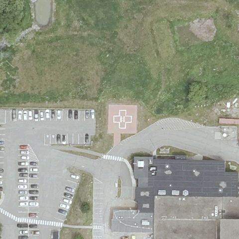
RANDOLPH, VT
43.917193861, -72.6659616109999
Painted pad with cross marking near center beside the hospital.
✓ Confirmed by AI vision with Claude Opus 4.8
 Confirmed
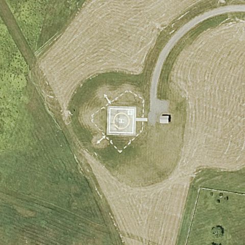
JOHNSBURY, VT
44.4463597220001, -72.010503
Painted pad with red cross marking centrally located by the hospital lot.
✓ Confirmed by AI vision with Claude Opus 4.8
 Confirmed
BARNARD, VT
43.7566583330001, -72.61305
Marked square/circle touchdown pad centered on the prepared mound.
✓ Confirmed by AI vision with Claude Opus 4.8