 Not visible
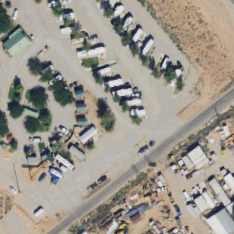
UT38 Two Jays Nr 1
MOAB, UT
38.5422047220001, -109.5187275
Center is a mobile-home/trailer park with no visible landing pad.
85% confidence
Verify on the map →
Is there really a pad here?
Data: FAA Airports (ArcGIS open layer) | Imagery: USGS NAIP (public domain) | AI vision: Claude Opus 4.8 | built 2026-07-05
A flag means a pad could not be confirmed from current imagery - never that a heliport is missing, fake, or mislocated. Help us check: vote on each one below.
Not visibleMOAB, UT
38.5422047220001, -109.5187275
Center is a mobile-home/trailer park with no visible landing pad.
 Not visible
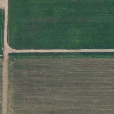
MOAB, UT
38.584704167, -109.567339444
Center is agricultural fields with no pad visible.
 Not visible
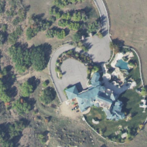
HEBER CITY, UT
40.409619444, -111.511236111
Center is a large residential estate and driveway with no pad.
 Not visible
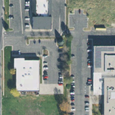
SALT LAKE CITY, UT
40.7246683330001, -111.976327778
Center is a building rooftop with no landing marking visible.
 Not visible
SALT LAKE CITY, UT
40.7768802780001, -111.886919167
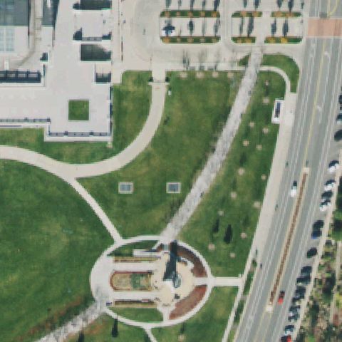
State capitol grounds; center is lawn and a monument fountain, no painted pad.
 Not visible
TOOELE, UT
40.5010550000001, -112.3438375
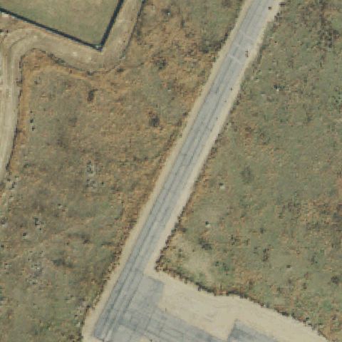
Center is bare scrubland crossed by a track, no pad visible.
 Not visible
BIG WATER, UT
37.023888889, -111.616683333
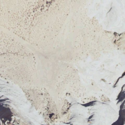
Center is open desert wash terrain with no visible pad.
 Not visible
DRAPER, UT
40.486555556, -111.889694444
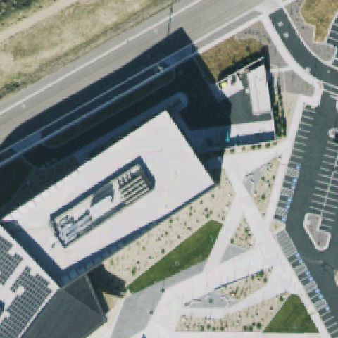
Large office building rooftop at center with no visible pad markings.
 Not visible
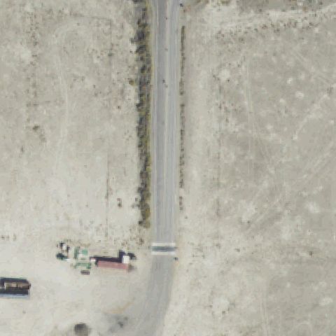
KNOLLS, UT
40.7250750000001, -113.258747222
Open desert with a road through the center; no pad present.
 Not visible
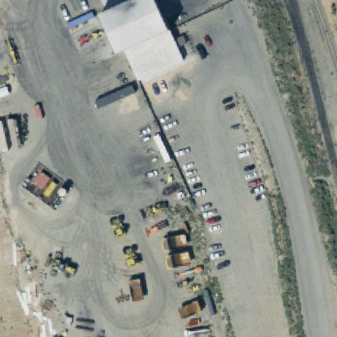
CEDAR CITY, UT
37.6365388890001, -113.343766667
Industrial yard with vehicles and gravel at center; no pad visible.
 Not visible
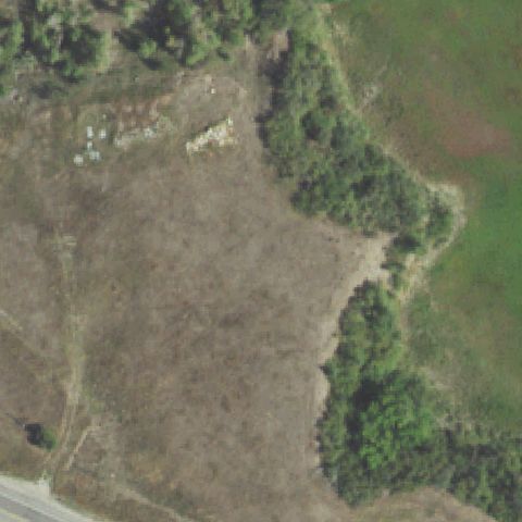
HUNTSVILLE, UT
41.2489722220001, -111.776722222
Open brushy clearing at center with no prepared pad or markings.
 Not visible
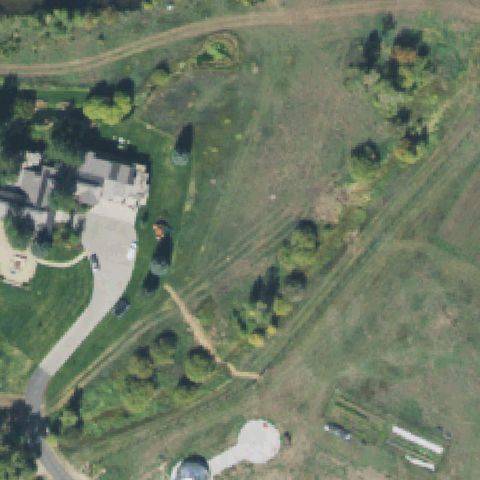
PEOA, UT
40.7046083330001, -111.331683333
Rural grass and fields at center; no pad present.
 Not visible
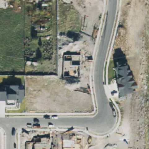
HERRIMAN, UT
40.493992, -112.063559
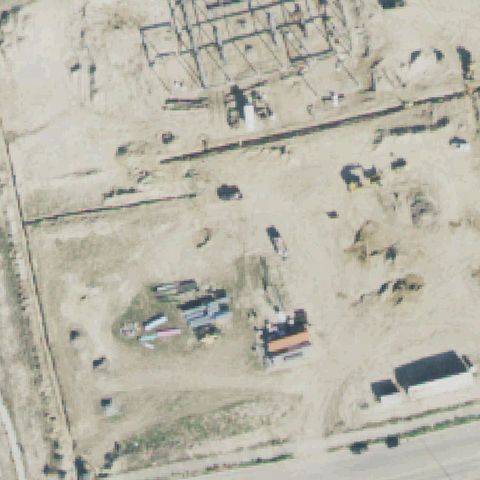
Construction site with foundations and dirt lots at center; no pad.
 Not visible
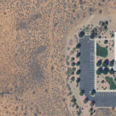
HURRICANE, UT
37.177744444, -113.332188889
Open desert scrub at center with the building off to the right; no pad.
 Not visible
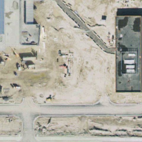
LEHI, UT
40.4139083330001, -111.897836111
Active dirt construction site at center; pad not yet present in this imagery.
 Not visible
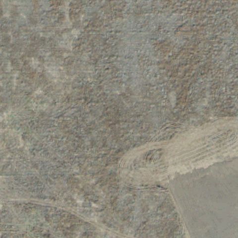
SARATOGA SPRINGS, UT
40.382747222, -111.925183333
Bare desert scrub across the center with no prepared pad.
 Not visible
LEHI, UT
40.395919, -111.917105
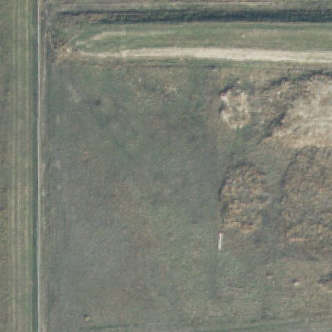
Dirt construction lot at center with scattered equipment; no pad.
 Not visible
SALT LAKE CITY, UT
40.8160100000001, -111.957043028
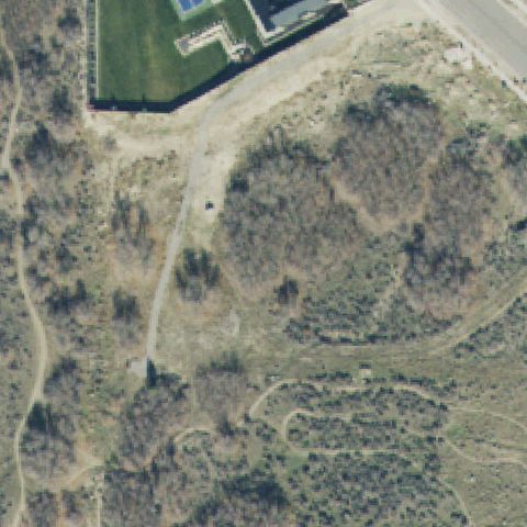
Open green field at center with no prepared pad or markings.
 Not visible
ALPINE, UT
40.4688098330001, -111.753929833
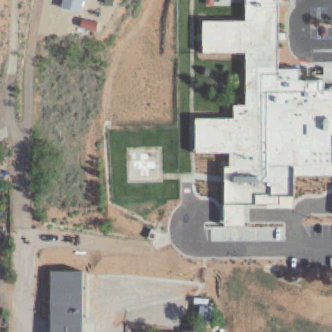
Brushy hillside scrub with trails at center; estate buildings upper-left but no prepared pad.
 Off-center
KANAB, UT
37.0542694440001, -112.530138583
White H cross on a concrete pad just left of center.
 Off-center
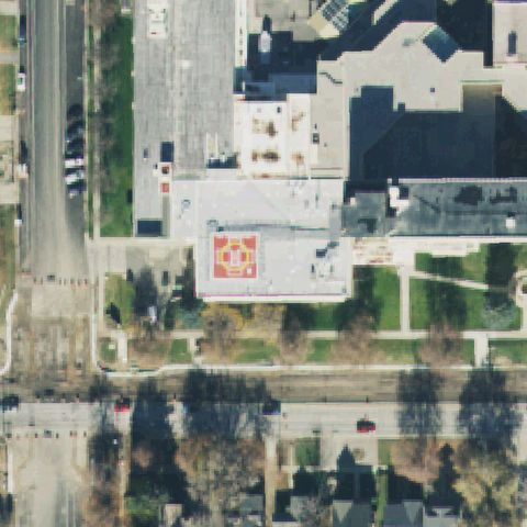
SALT LAKE CITY, UT
40.767511111, -111.861819444
Red rooftop pad with a white H cross marking, slightly off center.
 Off-center
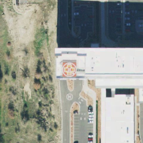
SANDY, UT
40.577694444, -111.854613889
Red rooftop H pad plus a ground H pad, located above/left of center.
 Off-center
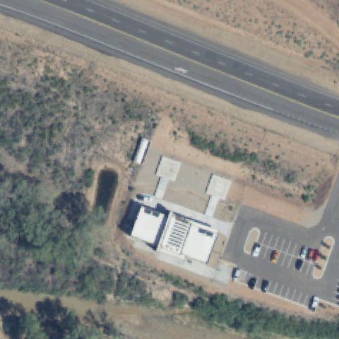
VIRGIN, UT
37.1789805560001, -113.122522222
Two light square pad-like surfaces sit above-left of center near the buildings; center itself is dirt.
 Off-center
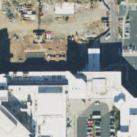
MILLCREEK, UT
40.6863083330001, -111.856594444
Rooftop pad with a white cross/H marking sits to the right of center on the hospital roof.
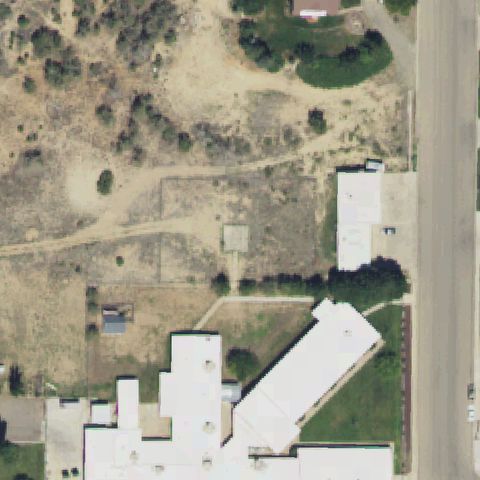 Uncertain
BLANDING, UT
37.6379027780001, -109.484016667
Center is bare ground with only a small faint concrete square, no clear helipad marking.
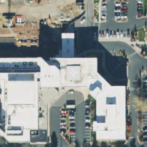 Uncertain
SALT LAKE CITY, UT
40.6861500000001, -111.856233333
Center is hospital rooftops with no distinct landing marking visible.
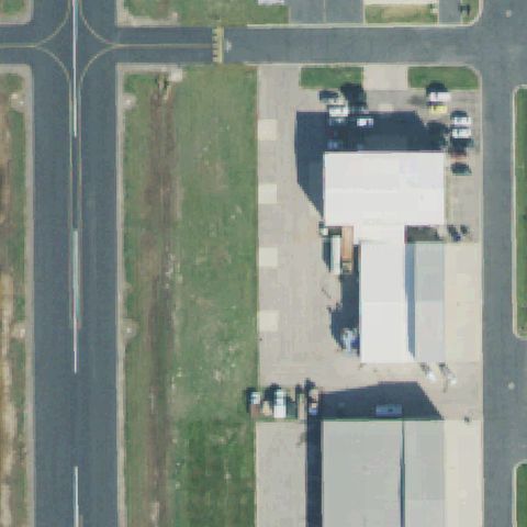 Uncertain
NORTH SALT LAKE, UT
40.8662, -111.926927778
Airport apron and hangar; no distinct painted helipad marking at center.
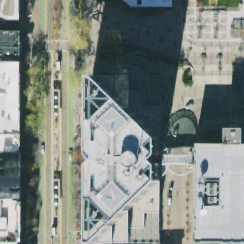 Uncertain
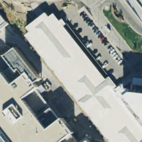
SALT LAKE CITY, UT
40.763619444, -111.890666667
Center is a building rooftop with no visible H marking.
 Uncertain
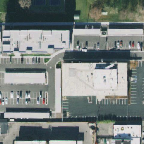
SALT LAKE CITY, UT
40.7719611110001, -111.838275
Center is a large building rooftop with no visible H marking.
 Uncertain
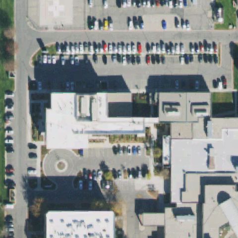
SOUTH SALT LAKE CITY, UT
40.6883527780001, -111.892105556
Center is building rooftops with no visible landing marking.
 Uncertain
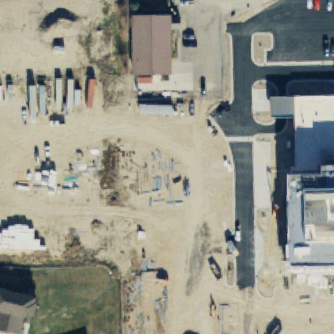
WEST JORDAN, UT
40.590583333, -111.975922222
A faint H pad sits in the top-left corner; the center itself is buildings and parking.
 Uncertain
VERNAL, UT
40.4621138890001, -109.540625
Active dirt construction site at center; pad likely not yet built in this imagery.
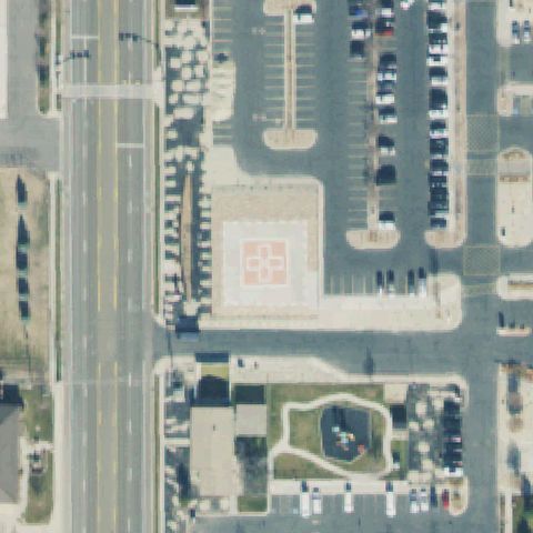 Confirmed
AMERICAN FORK, UT
40.3796861110001, -111.768608333
Square concrete pad with painted H and cross marking centered in the tile.
✓ Confirmed by AI vision with Claude Opus 4.8
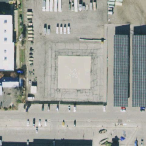 Confirmed
DRAPER, UT
40.517258333, -111.888930556
Distinct prepared light-colored square pad with faint marking near center.
✓ Confirmed by AI vision with Claude Opus 4.8
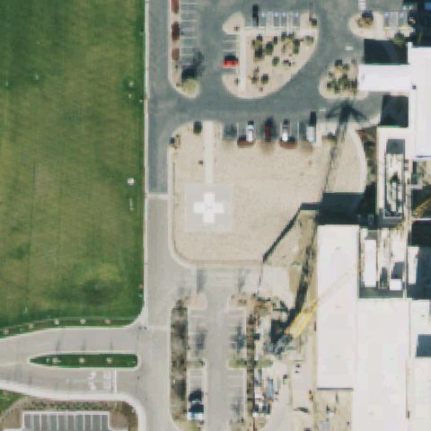 Confirmed
DRAPER, UT
40.535730556, -111.890113889
White H cross marking on a concrete pad near center.
✓ Confirmed by AI vision with Claude Opus 4.8
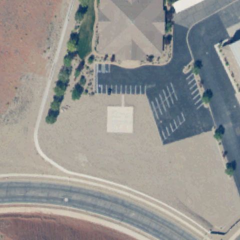 Confirmed
HURRICANE, UT
37.1720611110001, -113.434608333
Light square pad with a faint painted marking centered between parking lots.
✓ Confirmed by AI vision with Claude Opus 4.8
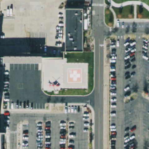 Confirmed
MURRAY, UT
40.6602888890001, -111.889611111
H cross pad with a helicopter parked beside it near center.
✓ Confirmed by AI vision with Claude Opus 4.8
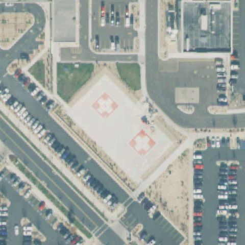 Confirmed
PROVO, UT
40.246358333, -111.665580556
Two concrete pads with cross markings near center.
✓ Confirmed by AI vision with Claude Opus 4.8
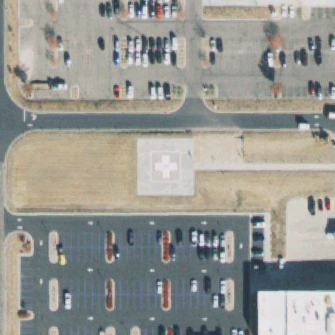 Confirmed
RIVERTON, UT
40.5200222220001, -111.981613889
White H cross marking on a concrete pad near center.
✓ Confirmed by AI vision with Claude Opus 4.8
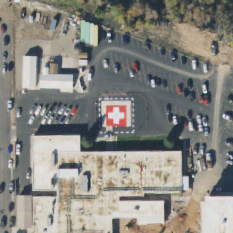 Confirmed
ROOSEVELT, UT
40.305047222, -109.996286111
Red square pad with a white H cross marking near center.
✓ Confirmed by AI vision with Claude Opus 4.8
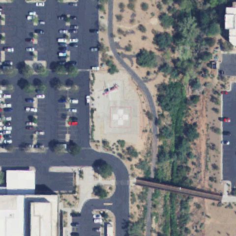 Confirmed
ST GEORGE, UT
37.098909028, -113.552685
White H cross pad with a helicopter present near center.
✓ Confirmed by AI vision with Claude Opus 4.8
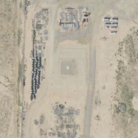 Confirmed
BONANZA, UT
40.0823055560001, -109.291652778
Square pad with a faint H marking on bare ground centered in the tile.
✓ Confirmed by AI vision with Claude Opus 4.8
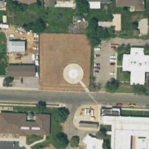 Confirmed
BRIGHAM CITY, UT
41.491963889, -112.026419444
Round prepared circular pad with a center marker, centered in the tile.
✓ Confirmed by AI vision with Claude Opus 4.8
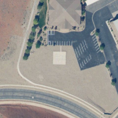 Confirmed
CEDAR CITY, UT
37.1720527780001, -113.434613889
Faint light square pad with a marking near center, same site type as nearby Gilbert pad.
✓ Confirmed by AI vision with Claude Opus 4.8
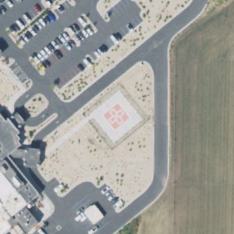 Confirmed
HEBER CITY, UT
40.490363889, -111.404977778
Red square pad with a white H cross marking near center.
✓ Confirmed by AI vision with Claude Opus 4.8
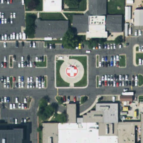 Confirmed
LAYTON, UT
41.091830556, -111.995930556
Circular red pad with white H cross and a helicopter, dead center.
✓ Confirmed by AI vision with Claude Opus 4.8
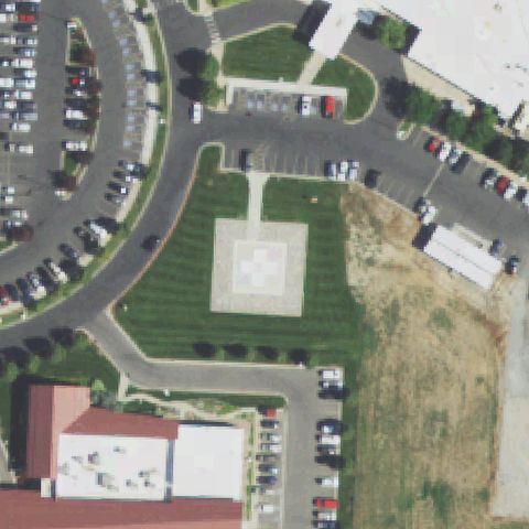 Confirmed
LOGAN, UT
41.77475, -111.821586111
White H cross on a square pad set in grass near center.
✓ Confirmed by AI vision with Claude Opus 4.8
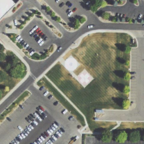 Confirmed
LOGAN, UT
41.755277778, -111.820769444
Faint circle and cross marking on grass near center.
✓ Confirmed by AI vision with Claude Opus 4.8
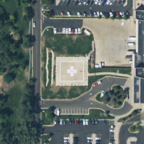 Confirmed
OGDEN, UT
41.1829333330001, -111.955016667
White H cross on a concrete pad near center.
✓ Confirmed by AI vision with Claude Opus 4.8
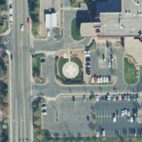 Confirmed
OREM, UT
40.312933333, -111.714466667
Circular pad with a white H cross marking near center.
✓ Confirmed by AI vision with Claude Opus 4.8
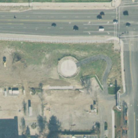 Confirmed
OREM, UT
40.311555556, -111.665677778
Distinct round prepared circular pad near center, no clear marking.
✓ Confirmed by AI vision with Claude Opus 4.8
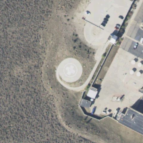 Confirmed
PARK CITY, UT
40.687838889, -111.470633333
Circular pad with a faint H cross marking near center on bare ground.
✓ Confirmed by AI vision with Claude Opus 4.8
 Confirmed
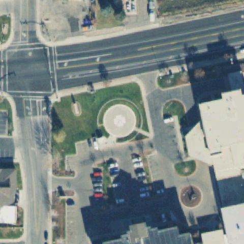
PAYSON, UT
40.044291667, -111.715397222
Round circular pad with a center marking set in a landscaped roundabout.
✓ Confirmed by AI vision with Claude Opus 4.8
 Confirmed
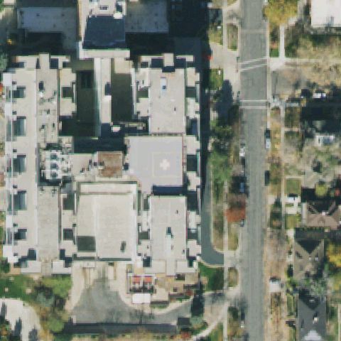
SALT LAKE CITY, UT
40.778191667, -111.879463889
Faint rooftop pad with a cross marking near center on a building roof.
✓ Confirmed by AI vision with Claude Opus 4.8
 Confirmed
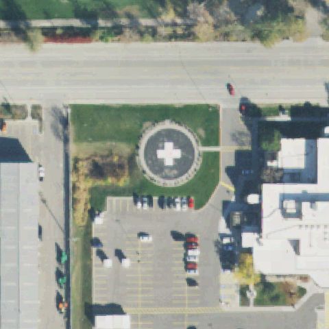
SALT LAKE CITY, UT
40.7255666670001, -111.933952778
Circular pad with a white H cross marking near center.
✓ Confirmed by AI vision with Claude Opus 4.8
 Confirmed
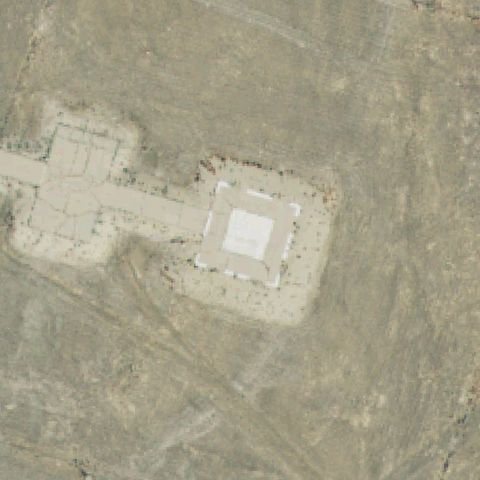
TOOELE, UT
40.3174250000001, -112.30825
White-outlined square pad with a marking on bare ground near center.
✓ Confirmed by AI vision with Claude Opus 4.8
 Confirmed
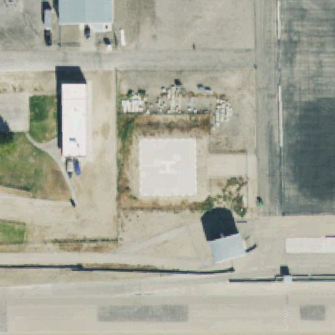
TOOELE, UT
40.5836444440001, -112.383013889
Concrete square pad with an H marking near center.
✓ Confirmed by AI vision with Claude Opus 4.8
 Confirmed
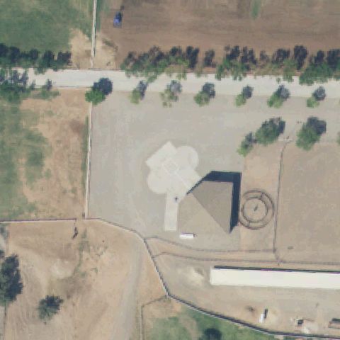
TOQUERVILLE, UT
37.2338472220001, -113.278894444
Concrete pad with a cross/quatrefoil marking near center on a ranch.
✓ Confirmed by AI vision with Claude Opus 4.8
 Confirmed
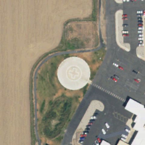
TREMONTON, UT
41.724502778, -112.183725
Round circular pad with a white H cross marking near center.
✓ Confirmed by AI vision with Claude Opus 4.8
 Confirmed
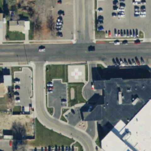
VERNAL, UT
40.4583250000001, -109.532438889
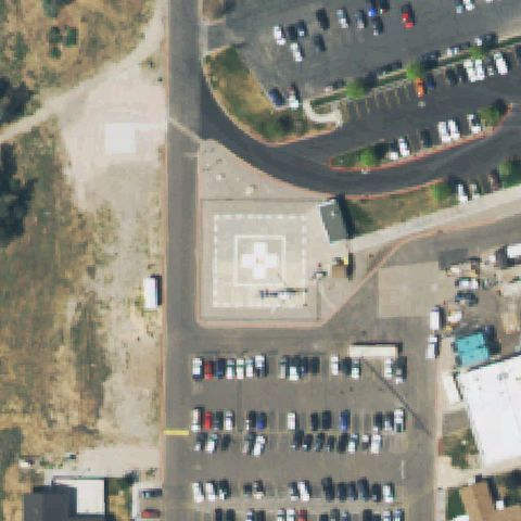
Square pad with a white H cross marking near center.
✓ Confirmed by AI vision with Claude Opus 4.8
 Confirmed
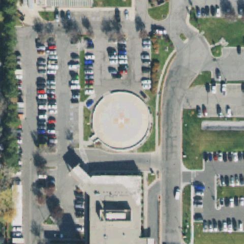
WASHINGTON TERRACE, UT
41.1643777780001, -111.972191667
Square pad with a white H cross and a helicopter near center.
✓ Confirmed by AI vision with Claude Opus 4.8
 Confirmed
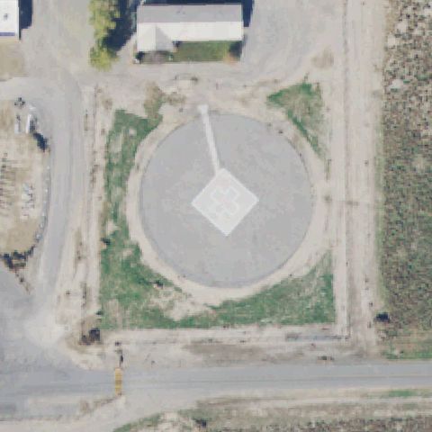
WEST VALLEY CITY, UT
40.6990888890001, -111.990666667
Round circular pad with a faint H marking near center.
✓ Confirmed by AI vision with Claude Opus 4.8
 Confirmed
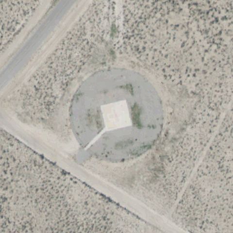
LITTLE SAHARA RECREATION AREA, UT
39.726355556, -112.305530556
Large circular gravel pad with a white diamond cross marking centered.
✓ Confirmed by AI vision with Claude Opus 4.8
 Confirmed
LITTLE SAHARA RECREATION AREA, UT
39.673019444, -112.354744444
Circular gravel pad with a white square pad marking centered.
✓ Confirmed by AI vision with Claude Opus 4.8
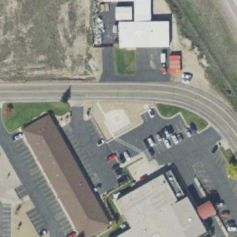 Confirmed
PRICE, UT
39.606311111, -110.833311111
A circular pad with a gold H marking is visible at the image center adjacent to the hospital building.
✓ Confirmed by AI vision with Claude Opus 4.8
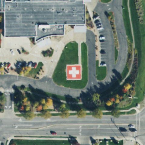 Confirmed
TOOELE, UT
40.566038889, -112.297011111
Red square pad with a white H cross marking near center.
✓ Confirmed by AI vision with Claude Opus 4.8
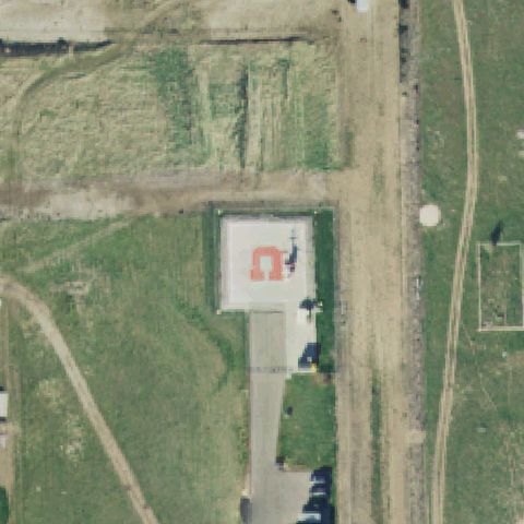 Confirmed
TOOELE CITY, UT
40.552280556, -112.293822222
Square pad with a red H marking on grass near center.
✓ Confirmed by AI vision with Claude Opus 4.8
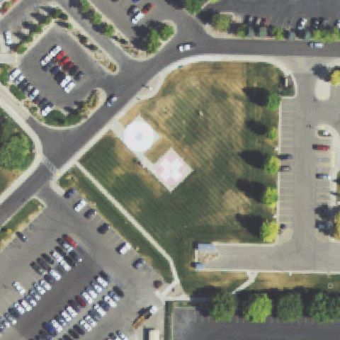 Confirmed
LOGAN, UT
41.755224028, -111.820633417
Circular pad with a diamond cross marking on grass near center.
✓ Confirmed by AI vision with Claude Opus 4.8
 Confirmed
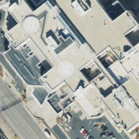
SALT LAKE CITY, UT
40.771034361, -111.839077722
Two rooftop circular pads with cross markings, one near center.
✓ Confirmed by AI vision with Claude Opus 4.8
 Confirmed
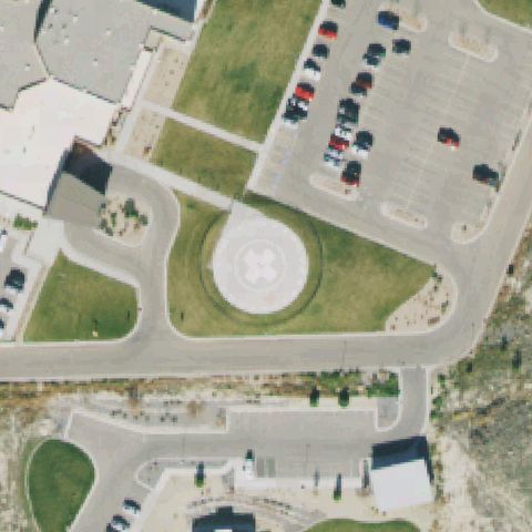
LEHI, UT
40.4246000000001, -111.877666667
Circular pad with a white cross marking on grass near center.
✓ Confirmed by AI vision with Claude Opus 4.8
 Confirmed
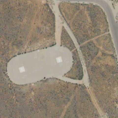
MOAB, UT
38.4816300000001, -109.43582
Large prepared gravel helibase with two faint square pads near center.
✓ Confirmed by AI vision with Claude Opus 4.8
 Confirmed
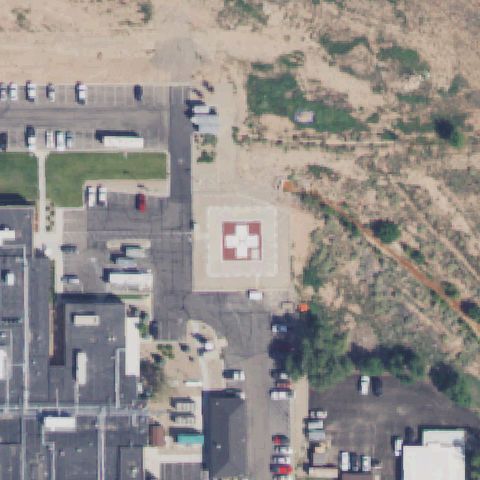
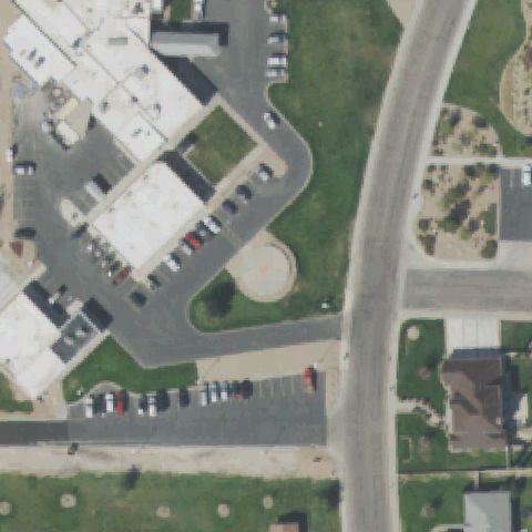
RICHFIELD, UT
38.783244444, -112.082872222
Clear square pad with white medical cross marking near image center.
✓ Confirmed by AI vision with Claude Opus 4.8
 Confirmed
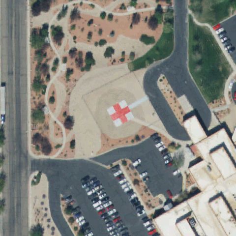
DELTA, UT
39.3495750000001, -112.560613889
Circular prepared pad with faint marking at center beside the hospital.
✓ Confirmed by AI vision with Claude Opus 4.8
 Confirmed
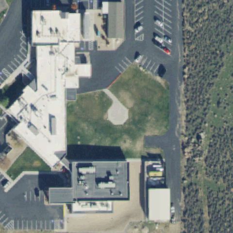
CEDAR CITY, UT
37.700261111, -113.067536111
Square pad with red cross/H marking centered in the open area by the hospital.
✓ Confirmed by AI vision with Claude Opus 4.8
 Confirmed
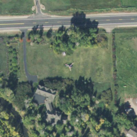
MT. PLEASANT, UT
39.5311472220001, -111.460583333
Faint circular prepared pad on grass near center beside the hospital.
✓ Confirmed by AI vision with Claude Opus 4.8
 Confirmed
PEOA, UT
40.736980556, -111.357175
A helicopter appears parked on the open grass field at center but no marked or prepared pad.
✓ Confirmed by AI vision with Claude Opus 4.8
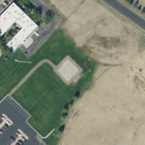 Confirmed
CEDAR CITY, UT
37.7961111110001, -113.283055556
Distinct square concrete pad on grass just below center near the building.
✓ Confirmed by AI vision with Claude Opus 4.8