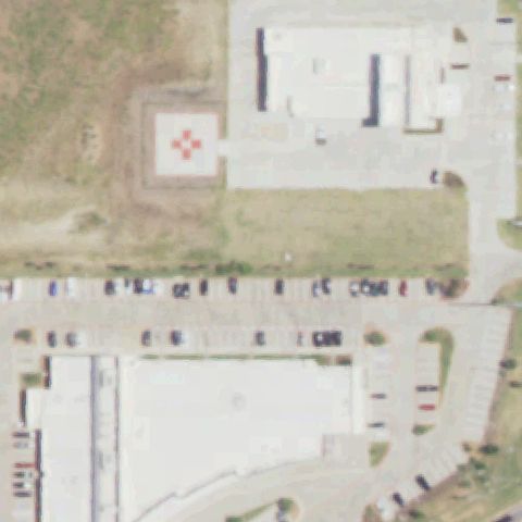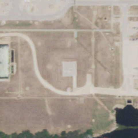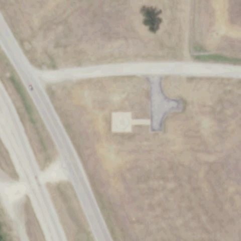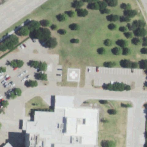
FAA record × aerial reality

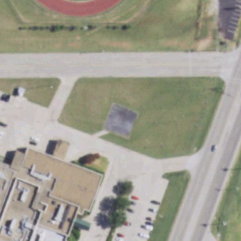
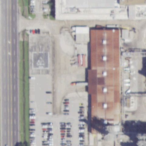
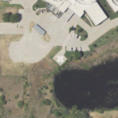
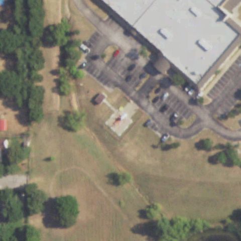
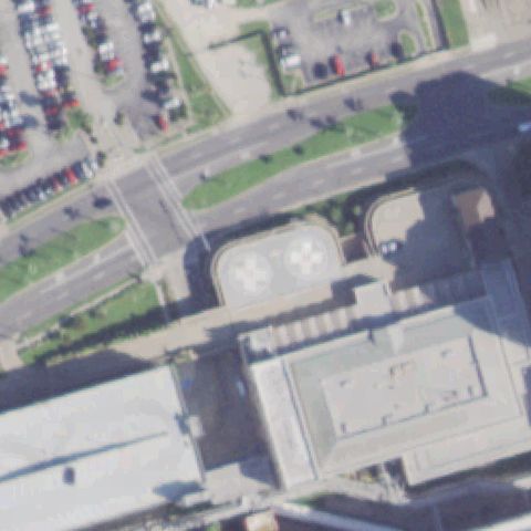
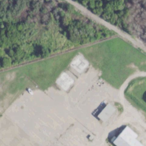
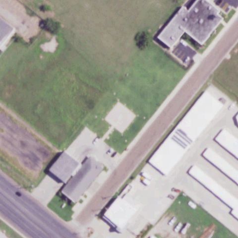
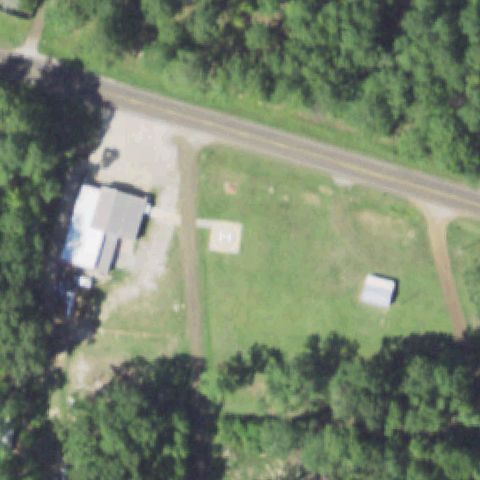
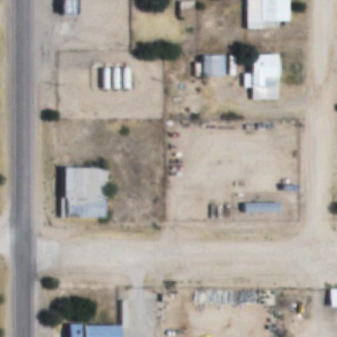
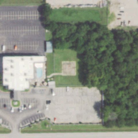
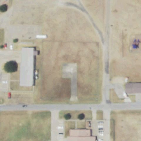
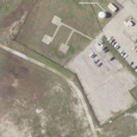
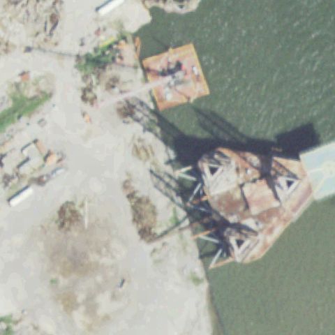
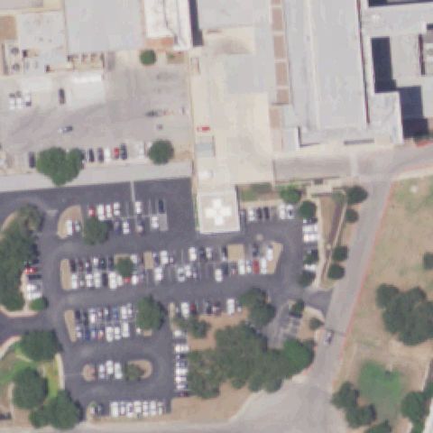
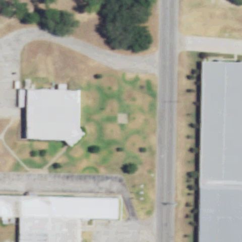
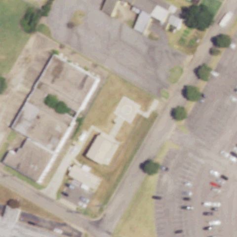
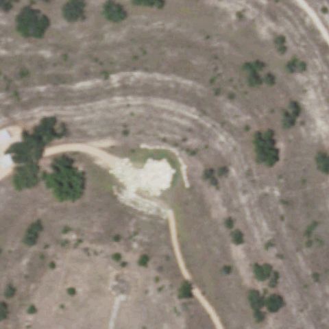
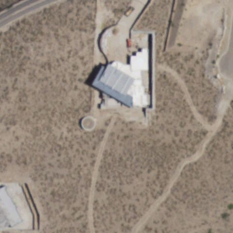
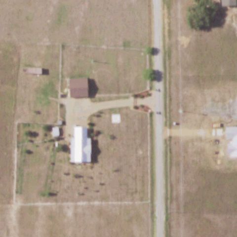
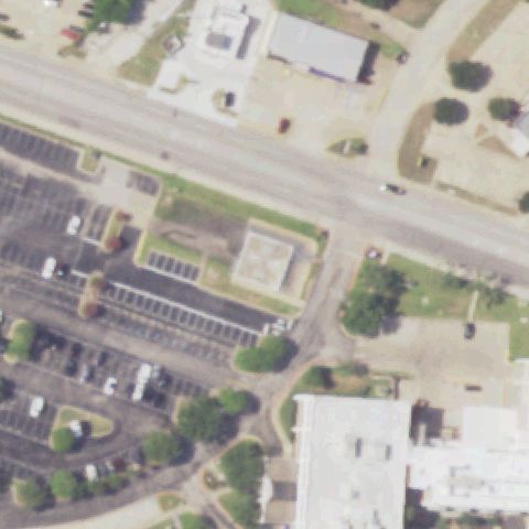
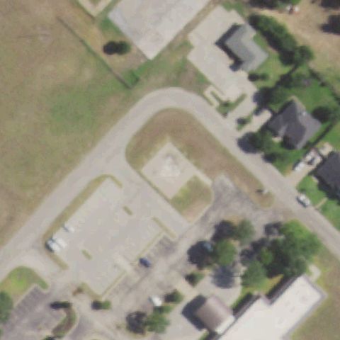
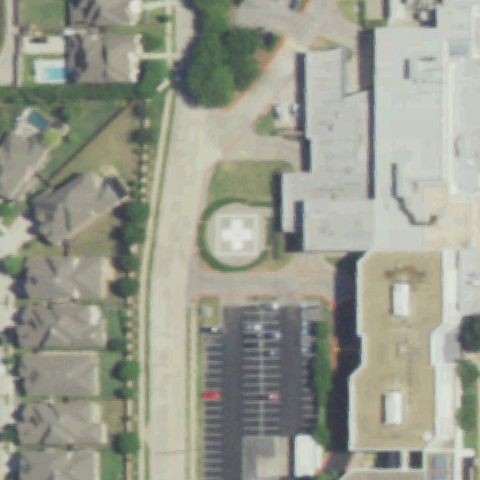
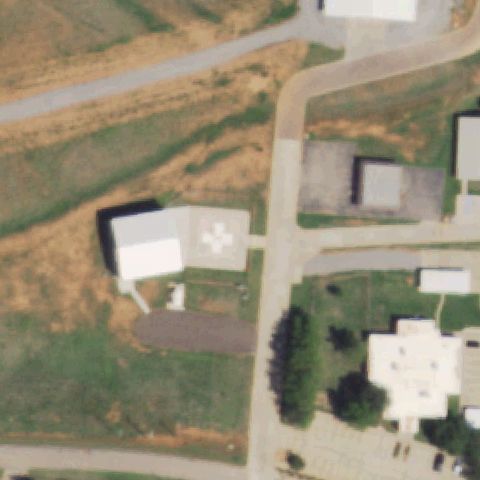
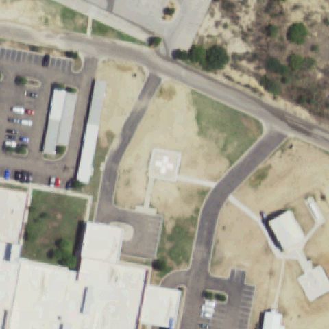
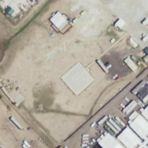
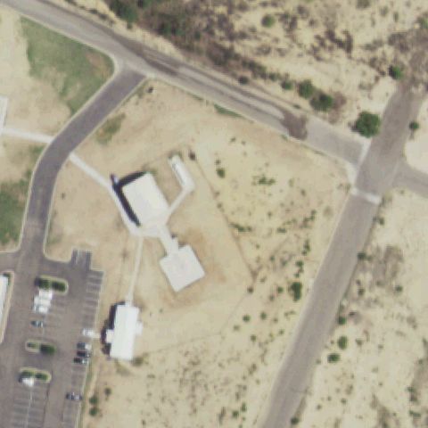
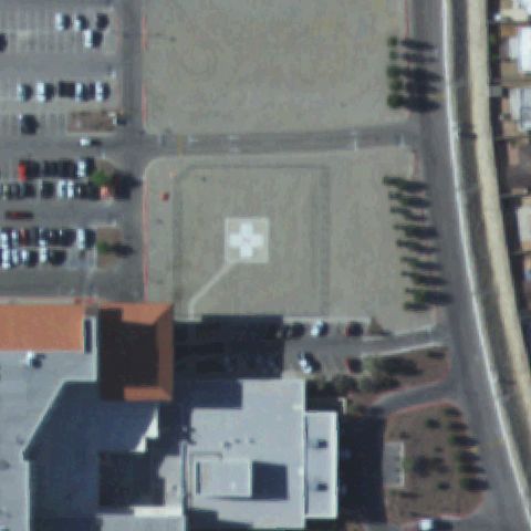
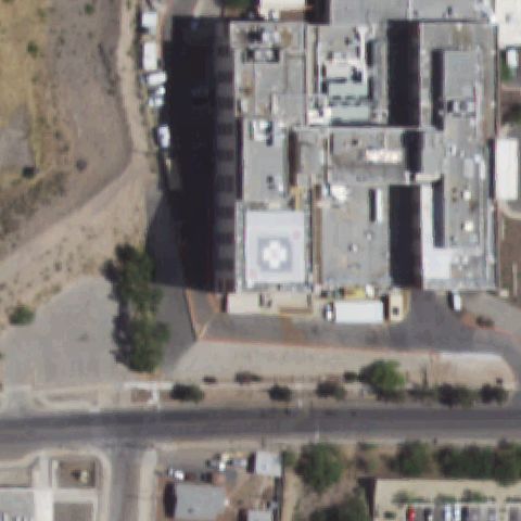
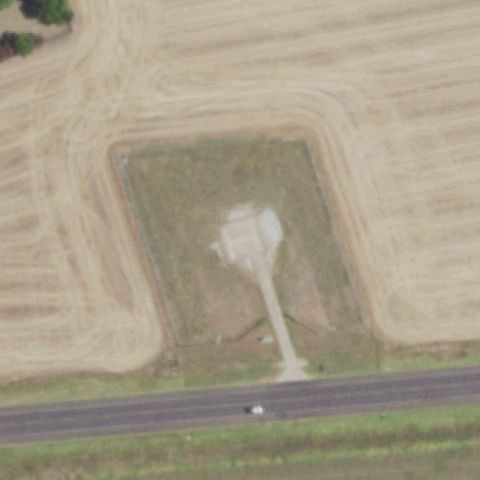
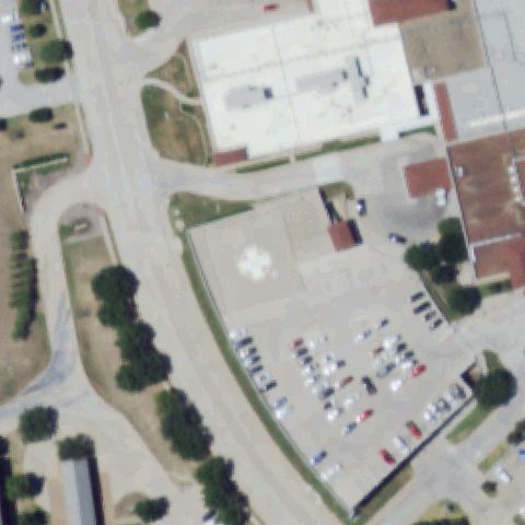
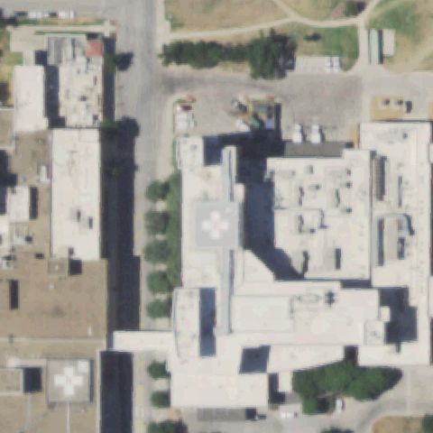
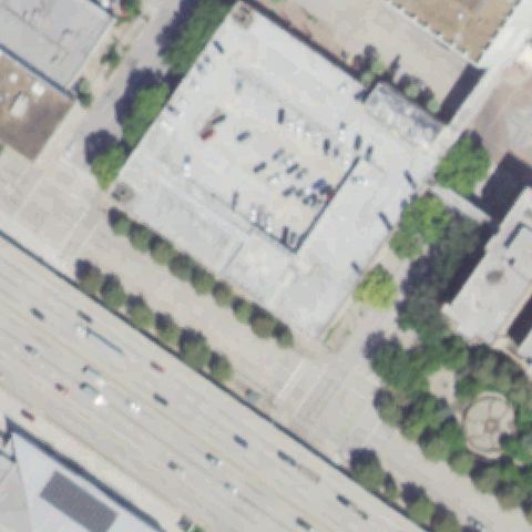
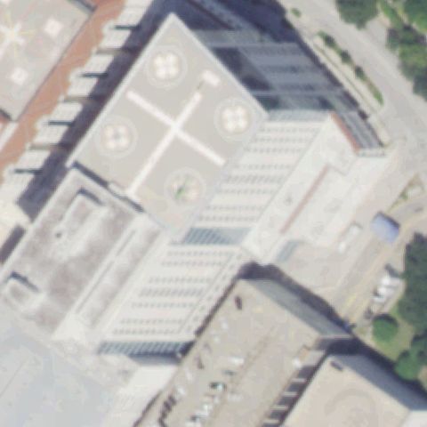
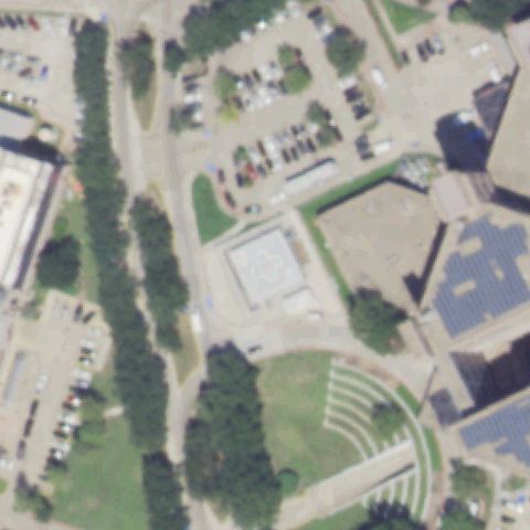
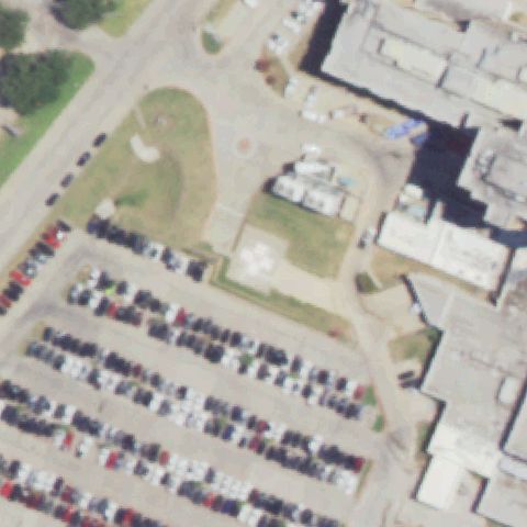
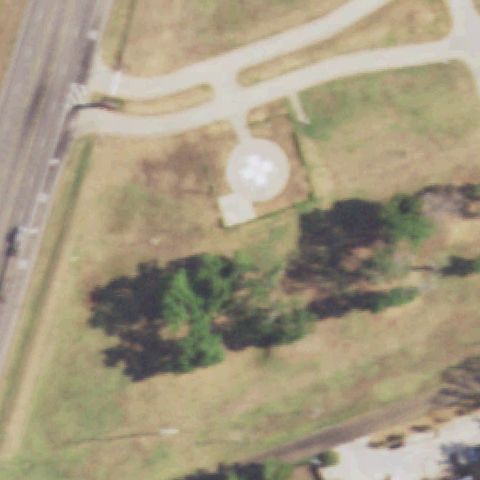
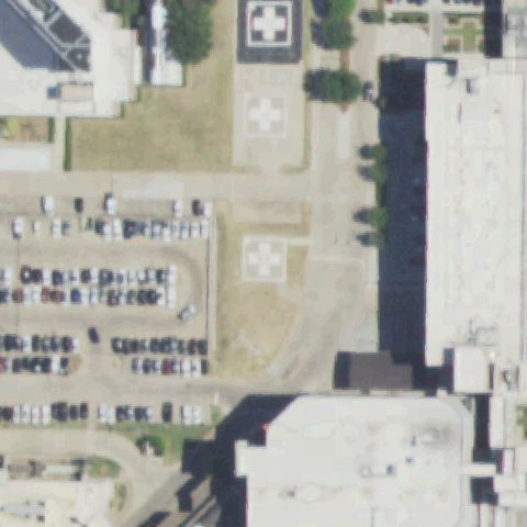
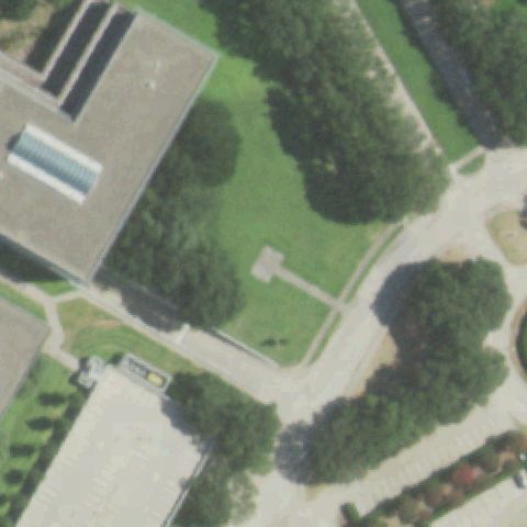
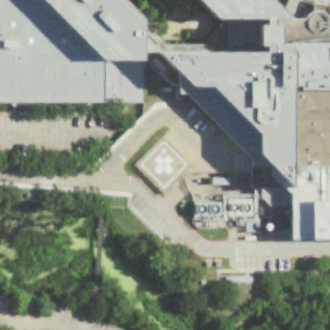
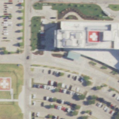
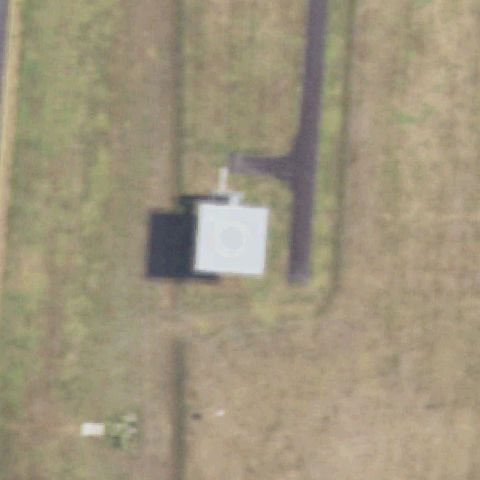
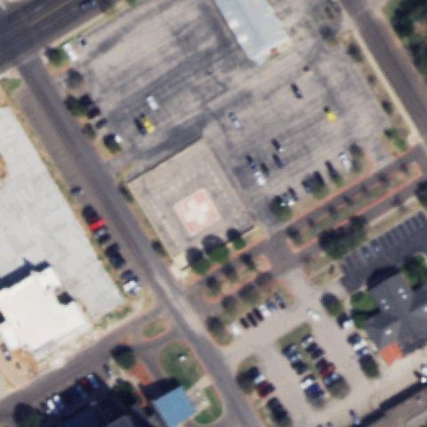
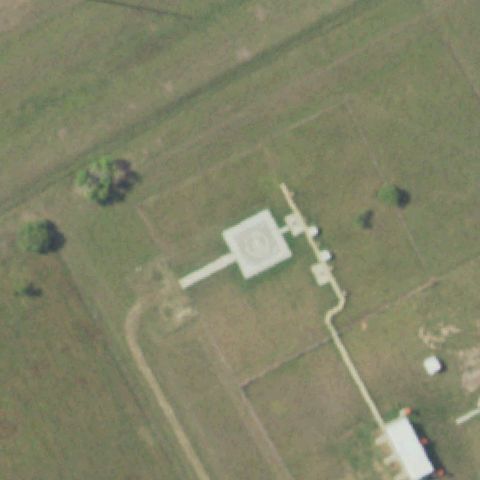
Texas: where the heliport map and the ground disagree.

468
facilities checked
241
flagged for review
-
visitors

Data: FAA Airports (ArcGIS open layer)  |  Imagery: USGS NAIP (public domain)  |  AI vision: Claude Opus 4.8  |  built 2026-07-05

This is a prioritized review queue, not a list of findings.

A flag means a pad could not be confirmed from current imagery - never that a heliport is missing, fake, or mislocated. Help us check: vote on each one below.

Verdicts
124 Not visible82 Off-center35 Uncertain227 Confirmed
Facilities — worst-first
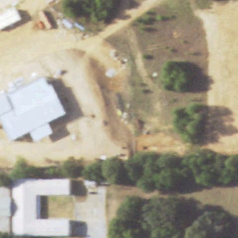
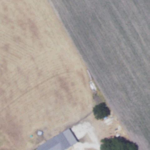
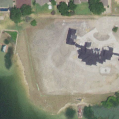
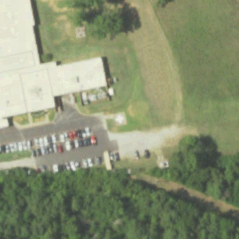
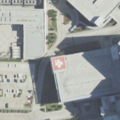
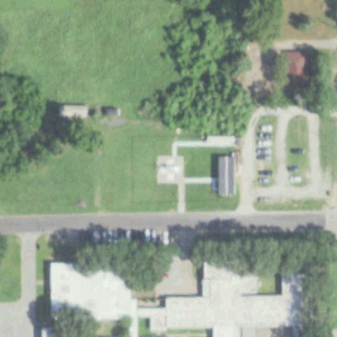
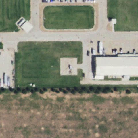
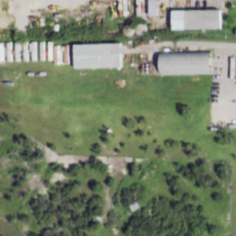
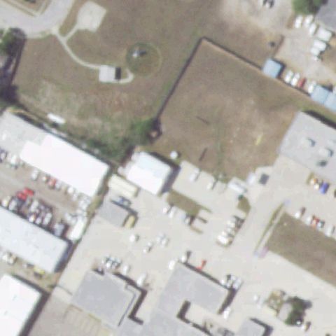
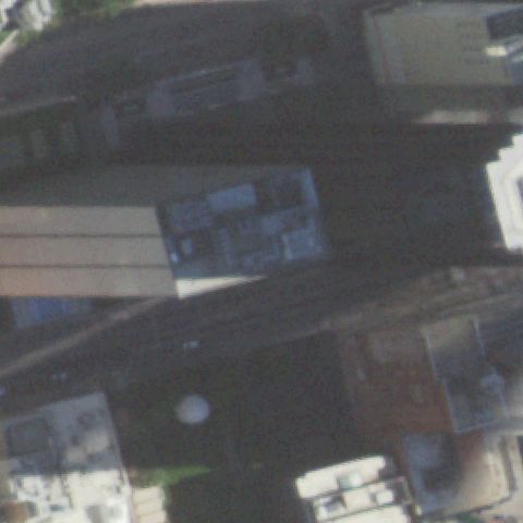
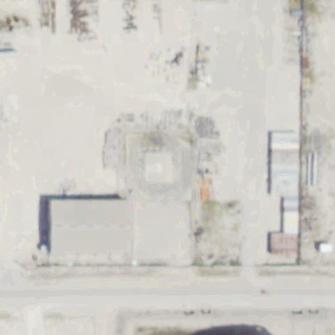
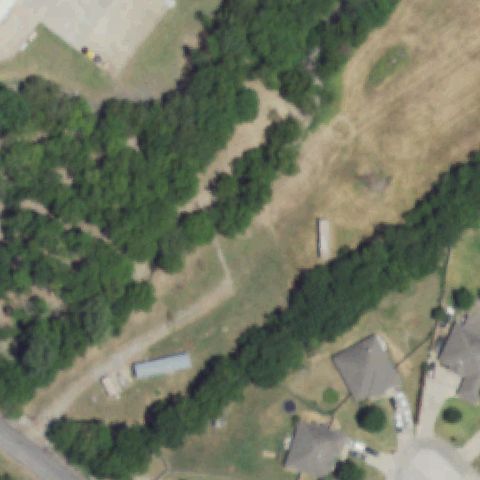
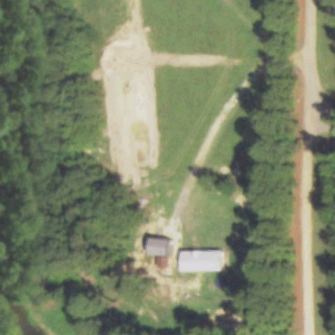
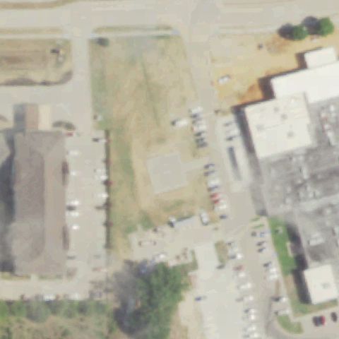
Aerial tile for 1TA3Not visible

1TA3 D W C

ALVIN, TX

29.4606972220001, -95.230966667

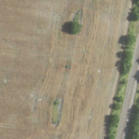
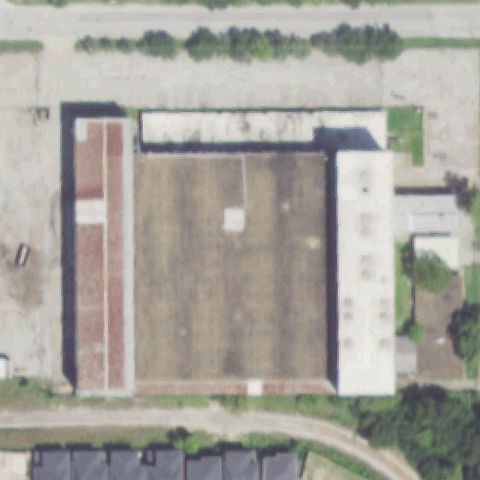
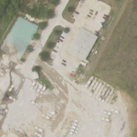
Rural industrial site with scattered buildings at center; no helipad markings or prepared pad visible.

80% confidence Verify on the map →
Is there really a pad here?
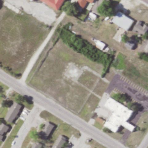
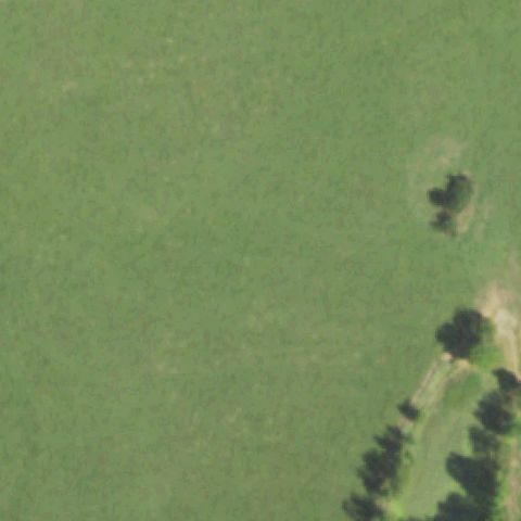
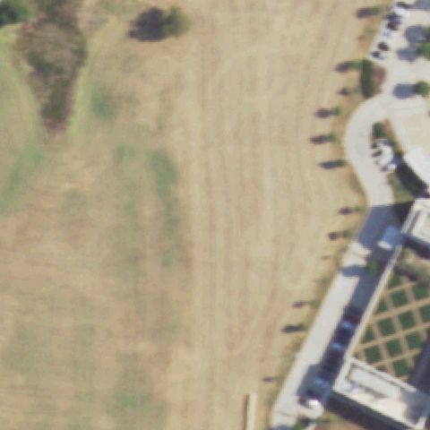
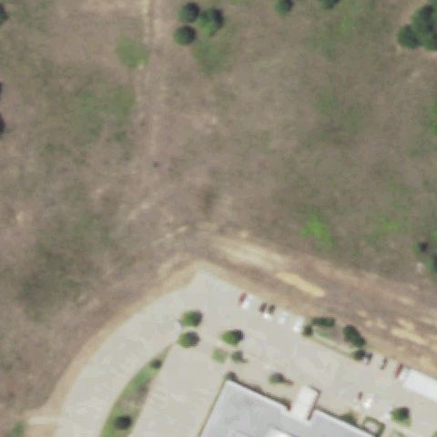
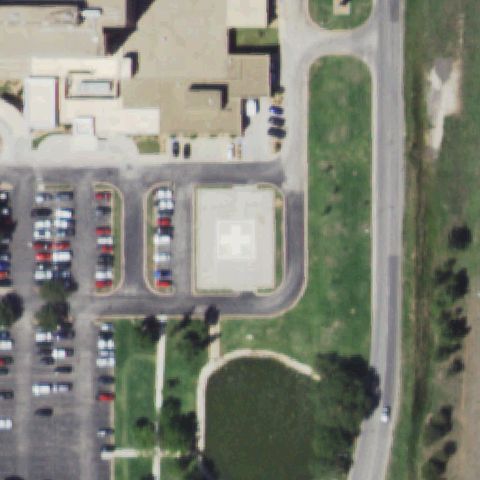
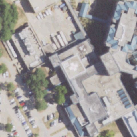
Aerial tile for TE00Not visible

TE00 North Bay General Hospital Inc

ARANSAS PASS, TX

27.9133166670001, -97.15935

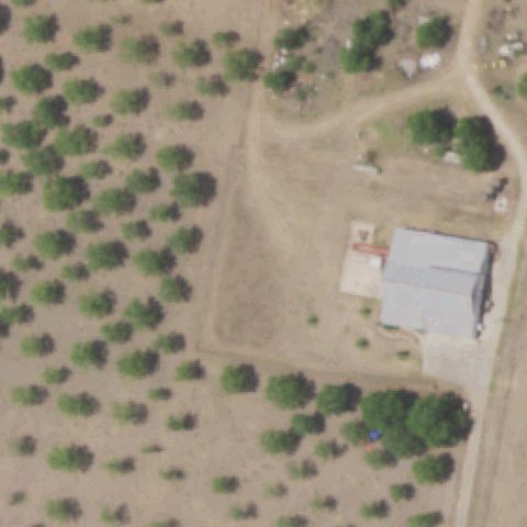
Center of image shows a vacant lot with no helipad markings; hospital building with cross is visible but off to the lower right, not at center.

75% confidence Verify on the map →
Is there really a pad here?
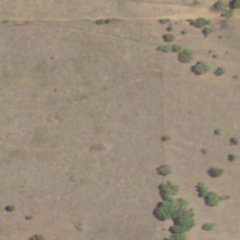
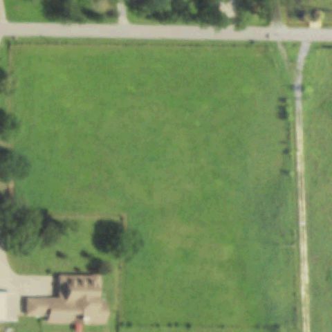
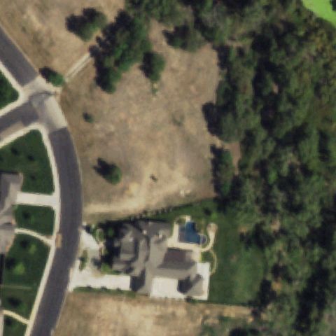
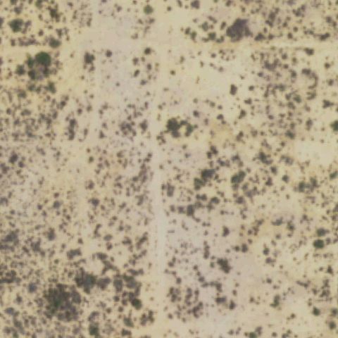
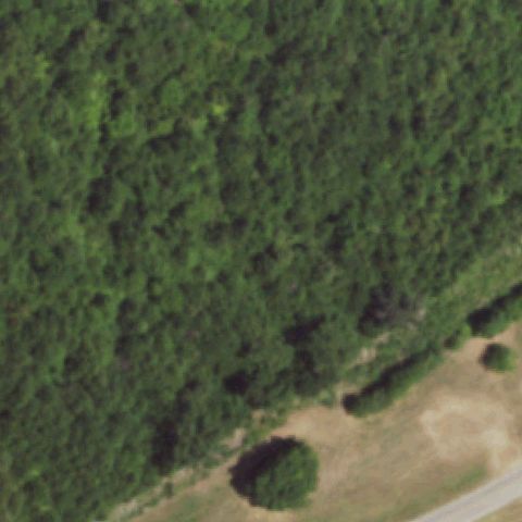
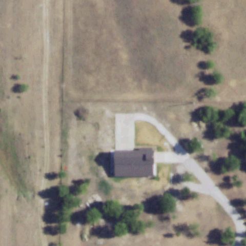
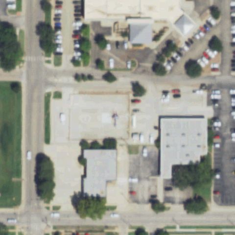
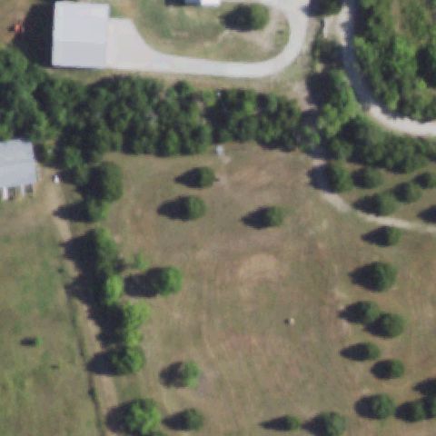
Aerial tile for TA48Not visible

TA48 Hawk Nest

ARGYLE, TX

33.1274250000001, -97.153863889

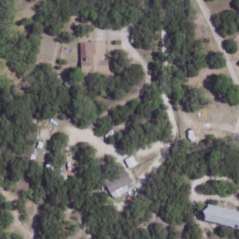
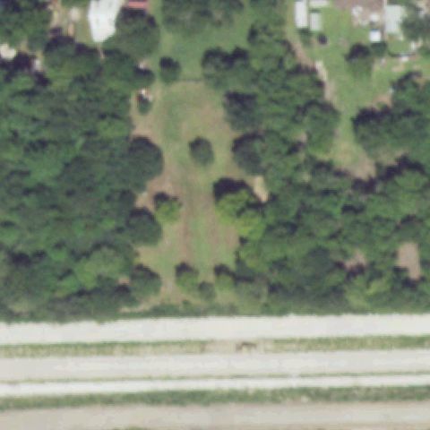
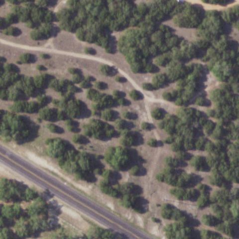
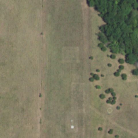
Rural grassland and fenced equestrian area at center with no helipad markings or prepared pad visible.

80% confidence Verify on the map →
Is there really a pad here?
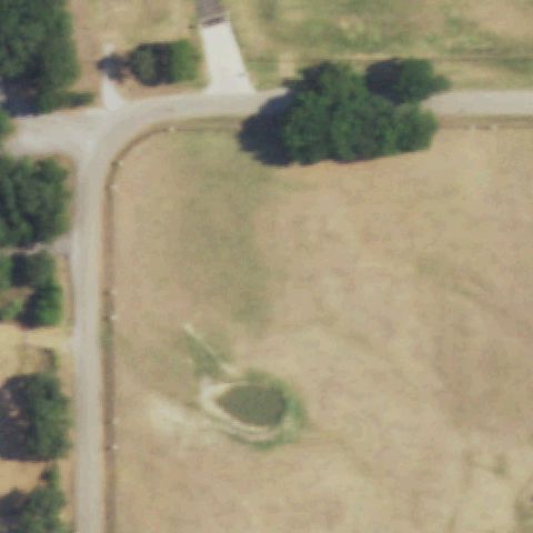
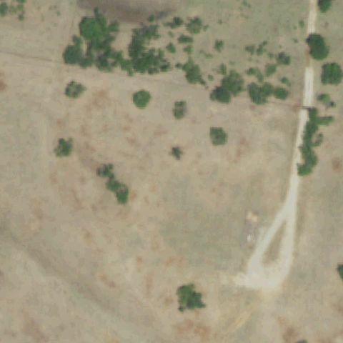
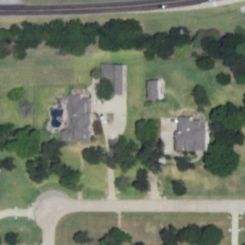
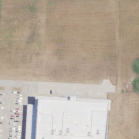
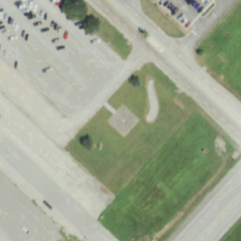
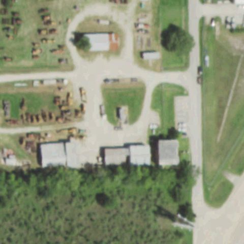
Aerial tile for 94TENot visible

94TE Barbaro North

ARGYLE, TX

33.0982750000001, -97.147

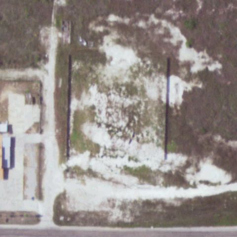
Rural property with small outbuildings near center; no helipad markings visible.

80% confidence Verify on the map →
Is there really a pad here?
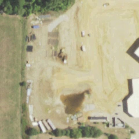
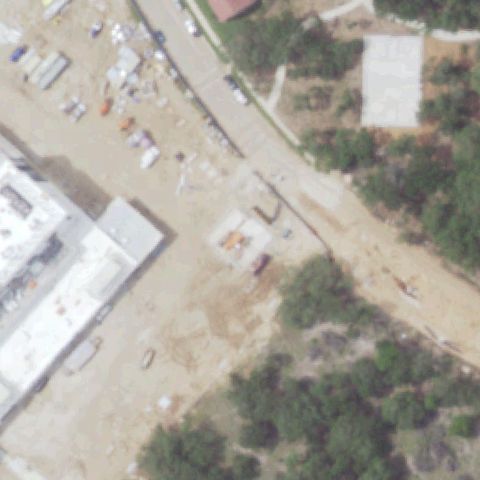
Aerial tile for 18TSNot visible

18TS Brackenridge Hospital

AUSTIN, TX

30.2737777780001, -97.734761111

Image center shows a construction zone with roads and large structures under development; no helipad markings visible.

70% confidence Verify on the map →
Is there really a pad here?
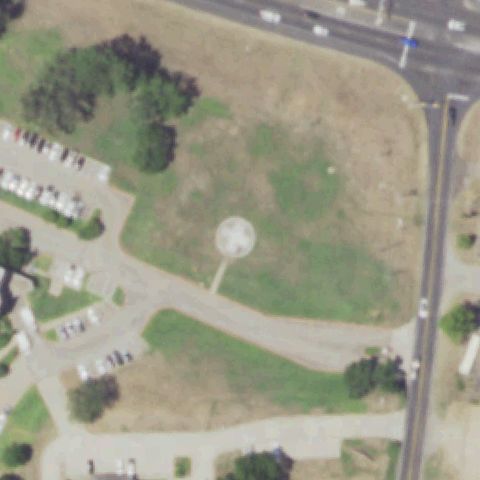
Aerial tile for XA53Not visible

XA53 Presbyterian Hospital of Allen

ALLEN, TX

33.1170611110001, -96.672313889

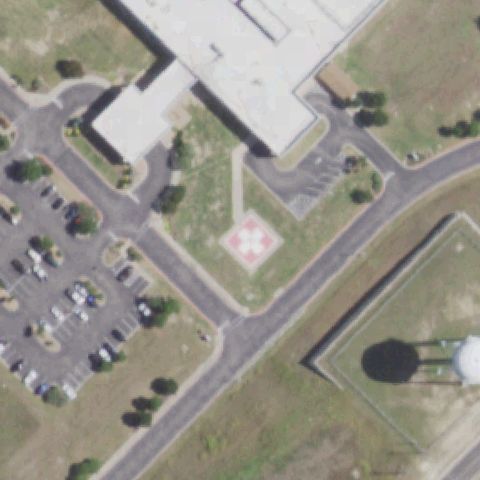
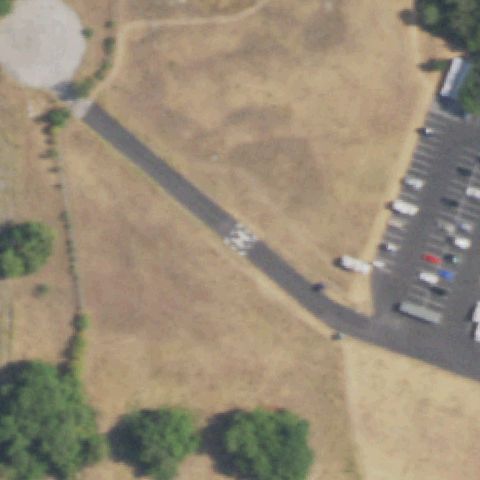
Center shows open grassy/cleared area near highway interchange with what appears to be a water tower; no helipad markings visible.

80% confidence Verify on the map →
Is there really a pad here?
Aerial tile for 17TSNot visible

17TS Big Bend Rgnl Med Ctr

ALPINE, TX

30.3847222220001, -103.669444444

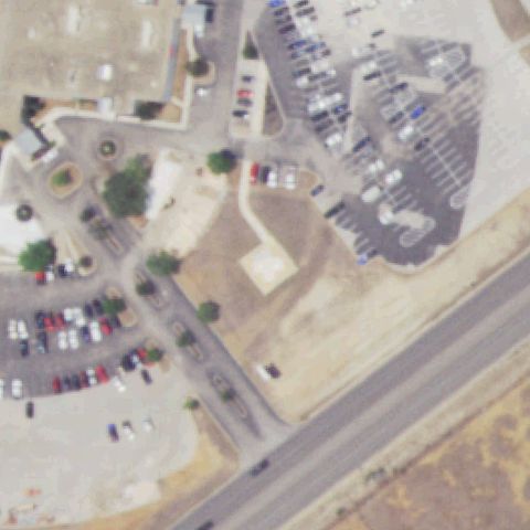
Center of image shows scrubland and open terrain with no helipad; hospital buildings are partially visible at lower edge.

80% confidence Verify on the map →
Is there really a pad here?
Aerial tile for TX06Not visible

TX06 Carrington

BARTONVILLE, TX

33.077791667, -97.1407055559999

Rural property with open dry field and farm buildings; no helipad markings or prepared pad visible at center.

80% confidence Verify on the map →
Is there really a pad here?
Aerial tile for TS10Not visible

TS10 Sheraton Spindletop Hotel

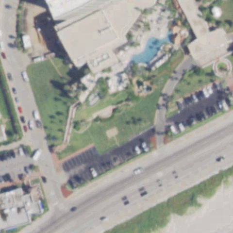
BEAUMONT, TX

30.101323333, -94.131013889

Hotel/commercial building rooftop at center shows no helipad markings; center is dominated by the building roof without any pad.

80% confidence Verify on the map →
Is there really a pad here?
Aerial tile for TE59Not visible

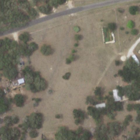
TE59 Holler

BULVERDE, TX

29.746663889, -98.363336111

Rural property with scattered farm buildings and open terrain at center; no helipad markings visible.

80% confidence Verify on the map →
Is there really a pad here?
Aerial tile for TS12Not visible

TS12 Enterprise Products 809

BAY CITY, TX

28.983097, -96.0287968329999

Industrial/rural property with small outbuildings; center shows a small structure but no clear helipad markings or prepared landing pad.

70% confidence Verify on the map →
Is there really a pad here?
Aerial tile for 5XA2Not visible

5XA2 Flap-Air Helicopter Services

CANADIAN, TX

35.9291666670001, -100.313694444

Open grassland with farm buildings at lower center; no clear helipad markings visible despite being registered as a helicopter services operator.

75% confidence Verify on the map →
Is there really a pad here?
Aerial tile for 0TX3Not visible

0TX3 Ut Health East Texas Carthage Hospital

CARTHAGE, TX

32.1664361110001, -94.3461

Center of image shows open land; large hospital complex is visible at lower left edge but no helipad pad is visible at the image center coordinate.

75% confidence Verify on the map →
Is there really a pad here?
Aerial tile for 95TENot visible

95TE Star

CROSS ROADS, TX

33.2154972220001, -96.995944444

Open rural/agricultural land at center with no structures or helipad markings visible.

80% confidence Verify on the map →
Is there really a pad here?
Aerial tile for 2XA8Not visible

2XA8 Air Evac 53

FAIRFIELD, TX

31.6916305560001, -96.1686611109999

Center shows open field with scattered buildings and no visible helipad marking or prepared pad.

75% confidence Verify on the map →
Is there really a pad here?
Aerial tile for 90TANot visible

90TA Faulkner Point

GARLAND, TX

32.866966667, -96.540819444

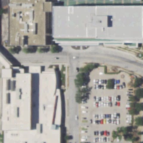
Center shows a commercial building complex along a highway with no visible helipad or landing marker.

80% confidence Verify on the map →
Is there really a pad here?
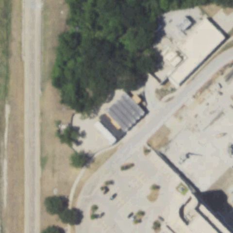
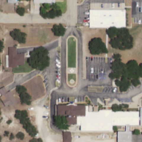
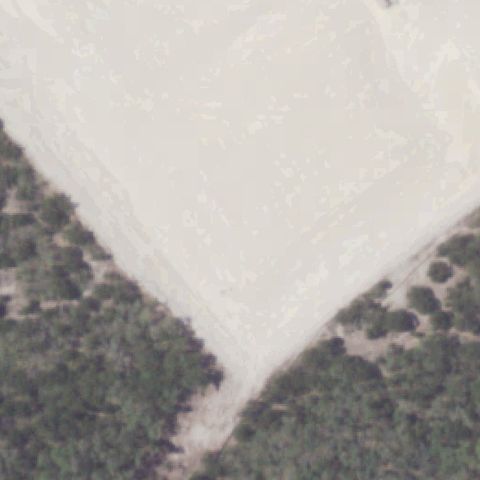
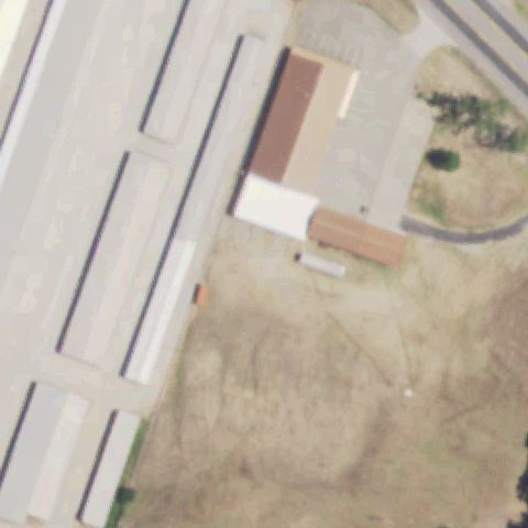
Aerial tile for TS37Not visible

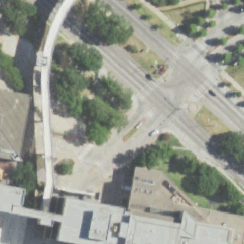
TS37 Harris County Clay Road Courthouse

HOUSTON, TX

29.8333361110001, -95.655927778

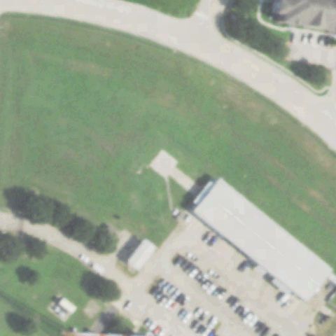
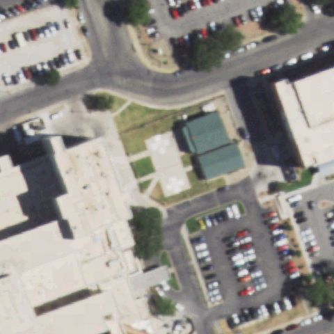
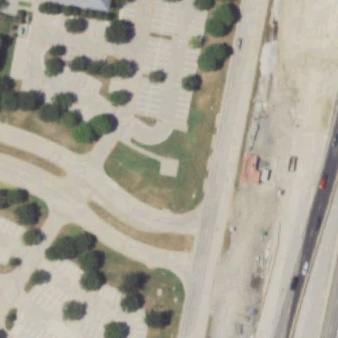
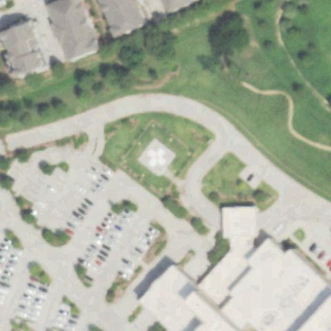
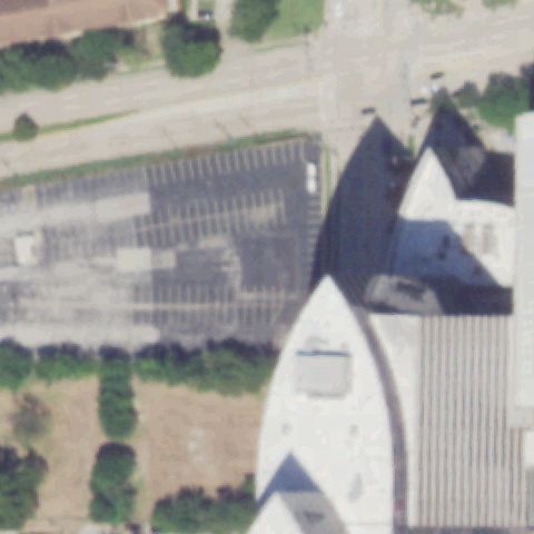
Center shows a large parking lot and green space along a curved road with no visible helipad or landing marker.

82% confidence Verify on the map →
Is there really a pad here?
Aerial tile for TE11Not visible

TE11 Life Flight/Refuel

FRESNO, TX

29.5719877780001, -95.4374583329999

Center is dominated by wooded area with a few structures; no helipad or landing pad visible.

72% confidence Verify on the map →
Is there really a pad here?
Aerial tile for 40XANot visible

40XA Lone Star

HOUSTON, TX

29.765833333, -95.3984444439999

Industrial warehouse buildings at center with no visible helipad marking or dedicated landing area.

80% confidence Verify on the map →
Is there really a pad here?
Aerial tile for TS17Not visible

TS17 First Bank Plaza Garage

HOUSTON, TX

29.734396111, -95.500775278

Downtown Houston building and parking structure with no visible helipad marking at image center.

78% confidence Verify on the map →
Is there really a pad here?
Aerial tile for TS26Not visible

TS26 The Huntingdon

HOUSTON, TX

29.7471730560001, -95.417995278

Downtown Houston large building complex with no visible helipad or landing area at image center.

72% confidence Verify on the map →
Is there really a pad here?
Aerial tile for XA19Not visible

XA19 Drv Downtown Houston Aquarium

HOUSTON, TX

29.764166667, -95.367222222

Downtown Houston aquarium and entertainment complex with no visible helipad or landing pad at center.

78% confidence Verify on the map →
Is there really a pad here?
Aerial tile for TS93Not visible

TS93 Cathexis

HOUSTON, TX

29.7628500000001, -95.32775

Construction/industrial area with exposed ground and no visible helipad or landing pad at center.

80% confidence Verify on the map →
Is there really a pad here?
Aerial tile for 7TX6Not visible

7TX6 Kemah Waterfront

HOUSTON, TX

29.5472222220001, -95.020555556

Waterfront marina and entertainment complex with no visible helipad or landing pad at center.

82% confidence Verify on the map →
Is there really a pad here?
Aerial tile for XA20Not visible

XA20 Landry's Warehouse

HOUSTON, TX

29.784722222, -95.455

Warehouse/industrial area with open parking; no helipad marking visible at image center.

75% confidence Verify on the map →
Is there really a pad here?
Aerial tile for 10TXNot visible

10TX SMc Aerospace

INGLESIDE, TX

27.8447486110001, -97.223879167

Open rural field with scattered outbuildings; no visible helipad or landing marker at image center.

72% confidence Verify on the map →
Is there really a pad here?
Aerial tile for 4TX9Not visible

4TX9 Little C Ranch

HICO, TX

32.013758056, -97.981421944

Open brush/scrub land with dirt roads and no visible helipad, pad, or landing marker at image center.

90% confidence Verify on the map →
Is there really a pad here?
Aerial tile for 1TA9Not visible

1TA9 Ktrk Tv Station

HOUSTON, TX

29.725507222, -95.429662222

Residential/urban area with streets and small buildings; no helipad or landing area visible at center.

72% confidence Verify on the map →
Is there really a pad here?
Aerial tile for 97TANot visible

97TA Hickory Hollow

HOUSTON, TX

29.9260583330001, -95.523552778

Dense urban/downtown area with large circular tank structures; no helipad marking visible at center.

75% confidence Verify on the map →
Is there really a pad here?
Aerial tile for 4TS0Not visible

4TS0 Netrality Data Centers

HOUSTON, TX

29.753839167, -95.365493611

Downtown Houston building complex with no visible helipad or landing pad at image center.

70% confidence Verify on the map →
Is there really a pad here?
Aerial tile for 9TX0Not visible

9TX0 Houston Police Command Station

HOUSTON, TX

29.6578555560001, -95.319091667

Image center shows a golf course fairway and surrounding green areas with no helipad markings visible.

85% confidence Verify on the map →
Is there really a pad here?
Aerial tile for XA13Not visible

XA13 Landry's Seafood House

HOUSTON, TX

29.752522222, -95.456613889

Center shows commercial buildings with parking lots and no helipad markings or prepared pad visible.

85% confidence Verify on the map →
Is there really a pad here?
Aerial tile for TE14Not visible

TE14 Winns

JONESTOWN, TX

30.402644444, -97.96135

Center shows scattered scrub brush and open terrain with no prepared landing pad or markings visible.

80% confidence Verify on the map →
Is there really a pad here?
Aerial tile for 45TSNot visible

45TS Bullhead

LLANO, TX

30.583611111, -98.80745

Image center shows open scrub/rocky terrain with only a dirt track visible and no prepared pad or markings.

85% confidence Verify on the map →
Is there really a pad here?
Aerial tile for 0XA6Not visible

0XA6 Fibertex LLC

LUBBOCK, TX

33.45, -101.939

Image center shows a residential subdivision under construction with no helipad markings or prepared pad visible.

80% confidence Verify on the map →
Is there really a pad here?
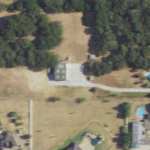
Aerial tile for TE66Not visible

TE66 LMc

MC KINNEY, TX

33.213980556, -96.632525

Image center shows a flat-roofed building complex with no discernible helipad markings or touchdown markers.

75% confidence Verify on the map →
Is there really a pad here?
Aerial tile for 4XA8Not visible

4XA8 Winkler County Meml Hospital

KERMIT, TX

31.849936111, -103.090919444

Image center shows a generic road intersection and building area with no prepared helipad or markings visible.

80% confidence Verify on the map →
Is there really a pad here?
Aerial tile for 59XANot visible

59XA Texas Farms and Ranches

LONGVIEW, TX

32.5683805560001, -94.732872222

Image center shows industrial/warehouse buildings and open dirt area with no helipad markings visible.

80% confidence Verify on the map →
Is there really a pad here?
Aerial tile for 6TX3Not visible

6TX3 Longview Rgnl Medical Center

LONGVIEW, TX

32.533583333, -94.7293611109999

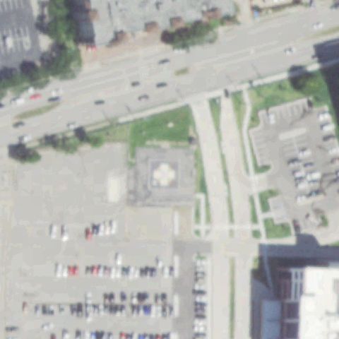
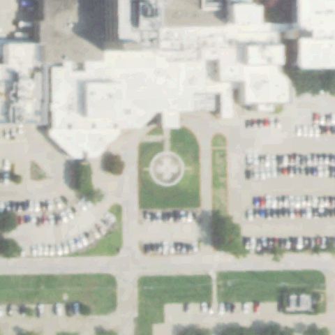
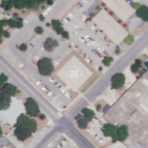
Image center shows a hospital entrance plaza with a decorative paved cross pattern and covered walkway, not a marked helipad; no H, circle, square, number, or windcone visible.

78% confidence Verify on the map →
Is there really a pad here?
Aerial tile for XA63Not visible

XA63 AAF

LUCAS, TX

33.090833333, -96.5925

Image center shows rural residential properties with tree-lined roads and no prepared helipad or markings.

80% confidence Verify on the map →
Is there really a pad here?
Aerial tile for TA94Not visible

TA94 Creech

MESQUITE, TX

32.7110916670001, -96.557177778

Image center shows rural wooded pastureland with a small farm structure; no helipad markings visible.

88% confidence Verify on the map →
Is there really a pad here?
Aerial tile for XA26Not visible

XA26 Palo Pinto General Hospital

MINERAL WELLS, TX

32.7988111110001, -98.146175

Image center shows a generic building complex and parking area with no discernible helipad or touchdown markings.

72% confidence Verify on the map →
Is there really a pad here?
Aerial tile for 7TA1Not visible

7TA1 Grimes St Joseph Health Center

NAVASOTA, TX

30.3920833330001, -96.077983333

Hospital complex visible but no painted H or landing pad marker visible at image center, which shows parking/grounds area.

70% confidence Verify on the map →
Is there really a pad here?
Aerial tile for TS45Not visible

TS45 Gulfcoast

PEARLAND, TX

29.5766219440001, -95.332993056

Center of image is open grass field with a residential house visible, no helipad markings present.

80% confidence Verify on the map →
Is there really a pad here?
Aerial tile for 32XSNot visible

32XS Cedar Circle

MIDLOTHIAN, TX

32.4615055560001, -97.0087

Rural open field with scattered structures, no helipad markings visible at or near image center.

82% confidence Verify on the map →
Is there really a pad here?
Aerial tile for TA32Not visible

TA32 Upham

MINERAL WELLS, TX

32.800254167, -98.066724444

Rural landscape with scattered trees and farm buildings, no helipad pad or markings visible at image center.

75% confidence Verify on the map →
Is there really a pad here?
Aerial tile for TE65Not visible

TE65 Nrh Fire Department

NORTH RICHLAND HILLS, TX

32.859161111, -97.231236111

Center of image shows large dry/bare field between structures with no visible helipad markings.

75% confidence Verify on the map →
Is there really a pad here?
Aerial tile for 1TS4Not visible

1TS4 Eds Hangar

PLANO, TX

33.067841667, -96.801483333

Center shows open fields and a hangar building with no visible helipad markings at image center.

75% confidence Verify on the map →
Is there really a pad here?
Aerial tile for 6TS5Not visible

6TS5 Eds Administration Nr 1

PLANO, TX

33.073702778, -96.814191667

Center area shows campus grounds and pathways, no distinct helipad pad or markings visible.

72% confidence Verify on the map →
Is there really a pad here?
Aerial tile for TX09Not visible

TX09 Lz Glen

PRITCHETT, TX

32.661097222, -95.017011111

Center shows a rural road intersection with open fields, no helipad present; tiny white square at edge is not a pad.

78% confidence Verify on the map →
Is there really a pad here?
Aerial tile for 50TSNot visible

50TS Tj-Cj Private

SAN ANTONIO, TX

29.4598500000001, -98.332008333

Center shows open rural terrain with a cross-shaped grassy feature that appears to be a monument or road junction, not a helipad.

75% confidence Verify on the map →
Is there really a pad here?
Aerial tile for 9R7Not visible

9R7 Camp Bullis

SAN ANTONIO, TX

29.6418919440001, -98.578075833

Center shows open rural terrain and road intersections; tiny white square at lower right is not a helipad pad.

75% confidence Verify on the map →
Is there really a pad here?
Aerial tile for TX57Not visible

TX57 U S Coast Guard Station

PORT ISABEL, TX

26.0723002780001, -97.1635825

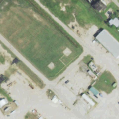
Image center is dominated by a baseball diamond, no helipad present; Coast Guard station may have a pad but not visible at center.

90% confidence Verify on the map →
Is there really a pad here?
Aerial tile for 46XANot visible

46XA Flying A

RHOME, TX

33.0401277780001, -97.548152778

Rural residential property with trees and outbuildings, no helipad visible at image center.

80% confidence Verify on the map →
Is there really a pad here?
Aerial tile for 36TANot visible

36TA G W

SAN ANTONIO, TX

29.5531972220001, -98.492586111

Center shows open lot between commercial buildings with no visible helipad marking or prepared pad.

72% confidence Verify on the map →
Is there really a pad here?
Aerial tile for XA29Not visible

XA29 Heart Hospital of San Antonio

SAN ANTONIO, TX

29.489475, -98.547580556

Large hospital building complex at center shows generic flat roof with no helipad markings visible.

82% confidence Verify on the map →
Is there really a pad here?
Aerial tile for 41XANot visible

41XA Hollow Oak Ranch

SPRING BRANCH, TX

29.8316333330001, -98.462402778

Rural asphalt area with two light squares at center but no helipad markings or H visible.

75% confidence Verify on the map →
Is there really a pad here?
Aerial tile for TA69Not visible

TA69 Lupton Farms

SUNNYVALE, TX

32.815655556, -96.58345

Open rural field and lake at center with no helipad markings or prepared surface visible.

88% confidence Verify on the map →
Is there really a pad here?
Aerial tile for 64XSNot visible

64XS Christus St. Michael Pine Street

TEXARKANA, TX

33.428844444, -94.0479333329999

Large hospital rooftop complex at center but no visible H or pad markings discernible in the blurry imagery.

70% confidence Verify on the map →
Is there really a pad here?
Aerial tile for 43XSNot visible

43XS Tdcj/Southern Rgnl Medical Facility

TEXAS CITY, TX

29.426061111, -94.980383333

Open grassy area with road end at center near industrial facility; no helipad marking visible.

80% confidence Verify on the map →
Is there really a pad here?
Aerial tile for TA04Not visible

TA04 Sheriff Department

WACO, TX

31.548222222, -97.078888333

Center shows parking lot and wooded area next to large building with no helipad markings visible.

85% confidence Verify on the map →
Is there really a pad here?
Aerial tile for 51TSNot visible

51TS Wilson N Jones Rgnl Medical Center

SHERMAN, TX

33.637219444, -96.6242999999999

Dense hospital/commercial building complex at center with no visible helipad marking discernible.

72% confidence Verify on the map →
Is there really a pad here?
Aerial tile for TS49Not visible

TS49 Station 40

SOUR LAKE, TX

30.1841000000001, -94.5060272219999

Rural road through grassy property at center with a small shed; no helipad markings visible.

90% confidence Verify on the map →
Is there really a pad here?
Aerial tile for XA69Not visible

XA69 Shelton Pvt

TOLAR, TX

32.336111111, -97.969444444

Rural wooded property with residential buildings at center; no helipad markings visible.

88% confidence Verify on the map →
Is there really a pad here?
Aerial tile for TE49Not visible

TE49 H S I

TOMBALL, TX

30.062308333, -95.5467555559999

Industrial warehouse buildings and road at center with no helipad markings visible.

82% confidence Verify on the map →
Is there really a pad here?
Aerial tile for 27TANot visible

27TA Headwind

TYLER, TX

32.3430777780001, -95.197061111

Rural residential property with green lawn and house at center; no helipad markings visible.

82% confidence Verify on the map →
Is there really a pad here?
Aerial tile for 9TS2Not visible

9TS2 Enterprise Products 816

WALLISVILLE, TX

29.8605944440001, -94.700744444

Industrial facility at top with open grass field at center; no helipad markings visible at center.

82% confidence Verify on the map →
Is there really a pad here?
Aerial tile for 8TX4Not visible

8TX4 Sartor

WILLIS, TX

30.3757625000001, -95.557443056

Lakeside residential property at center with no helipad markings; center is trees and waterfront.

90% confidence Verify on the map →
Is there really a pad here?
Aerial tile for TE93Not visible

TE93 Staggs

WEATHERFORD, TX

32.7717944440001, -97.740027778

Rural residential area with trees and homes at center; no helipad markings visible.

87% confidence Verify on the map →
Is there really a pad here?
Aerial tile for TE19Not visible

TE19 Tyler County Hospital

WOODVILLE, TX

30.776311944, -94.428253889

Residential and commercial town area at center with no helipad markings visible.

80% confidence Verify on the map →
Is there really a pad here?
Aerial tile for TS53Not visible

TS53 Tecma

EL PASO, TX

31.774719444, -106.4708

Industrial warehouse complex at center with no helipad markings visible.

85% confidence Verify on the map →
Is there really a pad here?
Aerial tile for 81TXNot visible

81TX Ogburn Vfd

WINNSBORO, TX

32.8368055560001, -95.245913889

Center shows rural highway, trees and a warehouse with no helipad markings visible.

85% confidence Verify on the map →
Is there really a pad here?
Aerial tile for 42TENot visible

42TE Chi St. Lukes Hospital

SUGARLAND, TX

29.606472222, -95.6188611109999

Center shows parking lots, roads and building rooftops near a river with no visible helipad markings.

80% confidence Verify on the map →
Is there really a pad here?
Aerial tile for TX73Not visible

TX73 Patients Emergency Room

BAYTOWN, TX

29.8222527780001, -94.902305556

Center shows commercial district road intersection with no helipad markings visible.

80% confidence Verify on the map →
Is there really a pad here?
Aerial tile for TX89Not visible

TX89 Meml Hermann Sugar Land Hospital

SUGAR LAND, TX

29.5669083330001, -95.6887305559999

Center shows parking lots and roads with no visible helipad markings.

82% confidence Verify on the map →
Is there really a pad here?
Aerial tile for 5TA7Not visible

5TA7 Varnell

AUSTIN, TX

30.1821305560001, -97.960986111

Center shows open fields and farm structures with no helipad markings visible.

82% confidence Verify on the map →
Is there really a pad here?
Aerial tile for 4XS8Not visible

4XS8 Sts Vip

CREEDMOOR, TX

30.0999444440001, -97.7268611109999

Center shows open agricultural fields and rural buildings with no helipad markings visible.

80% confidence Verify on the map →
Is there really a pad here?
Aerial tile for 7XS2Not visible

7XS2 Texas Childrens Downtown

HOUSTON, TX

29.7081250000001, -95.402727778

Center shows large urban building complex with no clear helipad markings visible at the FAA-claimed coordinate.

72% confidence Verify on the map →
Is there really a pad here?
Aerial tile for 08TENot visible

08TE Egm

MOUNTAIN HOME, TX

30.197777778, -99.3174999999999

Rural property with circular dirt turnaround visible; no helipad markings or prepared pad at image center.

75% confidence Verify on the map →
Is there really a pad here?
Aerial tile for TX98Not visible

TX98 Crespi Helistop

DALLAS, TX

32.8823305560001, -96.811711111

Residential/suburban area with construction visible; no helipad markings visible at image center.

70% confidence Verify on the map →
Is there really a pad here?
Aerial tile for TT83Not visible

TT83 Hbr

HORSESHOE BAY, TX

30.5620916670001, -98.392830556

Lake shoreline with residential structures visible; no helipad markings or prepared pad visible.

80% confidence Verify on the map →
Is there really a pad here?
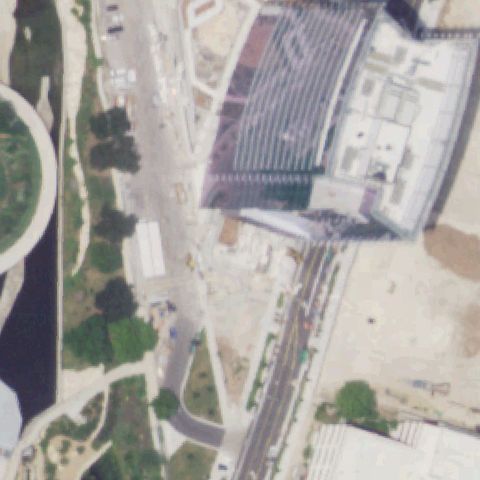
Aerial tile for 17TTNot visible

17TT Allen Condo/Tower

HOUSTON, TX

29.7601111110001, -95.382388889

Active construction site with no identifiable helipad markings at image center.

75% confidence Verify on the map →
Is there really a pad here?
Aerial tile for TT62Not visible

TT62 The Bluff

MC FADDIN, TX

28.583980556, -96.947511111

Rural property with barn visible; no helipad markings or prepared pad at image center.

70% confidence Verify on the map →
Is there really a pad here?
Aerial tile for TA83Not visible

TA83 The Oasis

VICTORIA, TX

28.8611000000001, -97.054730556

Center shows open pasture and a farm building with no helipad markings or prepared pad visible.

90% confidence Verify on the map →
Is there really a pad here?
Aerial tile for 94XANot visible

94XA GhMc Micro Hospital

ORANGE, TX

30.109925, -93.815513889

Center shows open agricultural fields and woodland with no prepared pad or markings visible; imagery likely predates construction.

90% confidence Verify on the map →
Is there really a pad here?
Aerial tile for 25TTNot visible

25TT American Bio Source

DECATUR, TX

33.2710240000001, -97.617229

Center shows forest with a dirt road and barn-like structure at the edge; no helipad markings visible.

88% confidence Verify on the map →
Is there really a pad here?
Aerial tile for 8TX5Not visible

8TX5 Sto 5

MARATHON, TX

30.2135777780001, -103.241102778

Center shows a rural area with mobile homes and dirt roads; no prepared helipad or markings visible.

88% confidence Verify on the map →
Is there really a pad here?
Aerial tile for 29TANot visible

29TA Med City Frisco

FRISCO, TX

33.1520333330001, -96.8384583329999

Center shows an active construction site with no prepared helipad visible; imagery predates the completed hospital.

85% confidence Verify on the map →
Is there really a pad here?
Aerial tile for 85TSNot visible

85TS Medical City Dallas East

DALLAS, TX

32.912225, -96.767511111

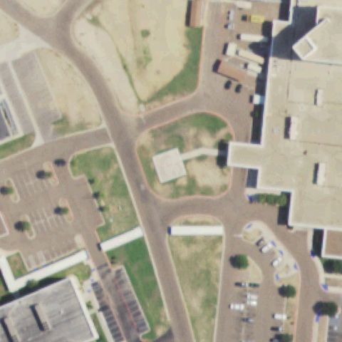
Center shows a highway median with decorative landscaping; no helipad visible and location appears to be undeveloped land adjacent to a future hospital site.

92% confidence Verify on the map →
Is there really a pad here?
Aerial tile for TA63Not visible

TA63 Livingston Base

LIVINGSTON, TX

30.718786111, -94.9317583329999

Center shows a mixed commercial and residential area with no prepared helipad or pad markings visible.

85% confidence Verify on the map →
Is there really a pad here?
Aerial tile for 19TXNot visible

19TX Texas Childrens Hospital North Campus

AUSTIN, TX

30.4726138890001, -97.790533333

Center shows an active construction site with no helipad visible; imagery predates the completed Texas Children's North Campus.

88% confidence Verify on the map →
Is there really a pad here?
Aerial tile for 79TTNot visible

79TT Methodist Celina

CELINA, TX

33.3060611110001, -96.808991667

Center shows an open grass field with dirt tracks; no helipad markings or prepared pad visible, likely imagery predates construction.

87% confidence Verify on the map →
Is there really a pad here?
Aerial tile for TA03Not visible

TA03 Galveston Helicopter

GALVESTON, TX

29.3044722220001, -94.7714583329999

Center shows an open grass field adjacent to what may be a small airfield; no distinct helipad pad or markings visible at center.

80% confidence Verify on the map →
Is there really a pad here?
Aerial tile for XA39Not visible

XA39 Tenet Westover Hills

SAN ANTONIO, TX

29.464894444, -98.714261111

Center shows vacant scrubland below a highway interchange with no prepared pad or markings visible; imagery predates hospital construction.

92% confidence Verify on the map →
Is there really a pad here?
Aerial tile for 74XSNot visible

74XS Wadley Rgnl Medical Center

TEXARKANA, TX

33.45484, -94.103674

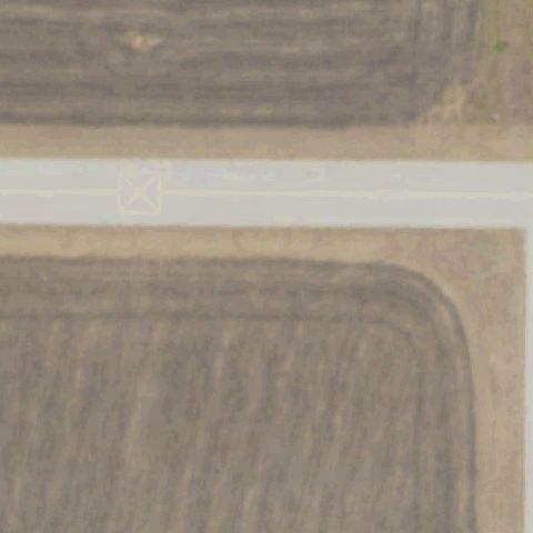
Center shows a bare plowed agricultural field with no helipad markings visible.

88% confidence Verify on the map →
Is there really a pad here?
Aerial tile for TE92Not visible

TE92 Hardeman Ranch

NORTHLAKE, TX

33.083836111, -97.262355556

Center shows open desert scrubland with scattered shrubs and no prepared pad or markings.

90% confidence Verify on the map →
Is there really a pad here?
Aerial tile for 21TENot visible

21TE El Campo Meml Hospital

EL CAMPO, TX

29.2186222220001, -96.289680556

Center shows an open agricultural field with the hospital building appearing only at the lower image edge; no helipad pad visible at center.

82% confidence Verify on the map →
Is there really a pad here?
Aerial tile for 54TTNot visible

54TT Harrell

LIBERTY HILL, TX

30.7357060000001, -97.8747749999999

Center shows a rural property with a metal building and cleared areas but no distinct helipad pad or markings visible.

78% confidence Verify on the map →
Is there really a pad here?
Aerial tile for XS89Not visible

XS89 Hunt Rgnl Medical Center Royse City

ROYSE CITY, TX

32.979302778, -96.282033333

Center shows a bare sandy agricultural field with no helipad; imagery predates the Hunt Regional Medical Center Royse City construction.

88% confidence Verify on the map →
Is there really a pad here?
Aerial tile for TT60Not visible

TT60 Tow

TOW, TX

30.855611111, -98.4540777779999

Center shows a bare agricultural field with dirt tracks and no helipad markings visible.

88% confidence Verify on the map →
Is there really a pad here?
Aerial tile for TE12Not visible

TE12 Blanco County Air Rescue Base

ROUND MOUNTAIN, TX

30.3970608330001, -98.357894722

Center shows open desert/caliche scrubland with no prepared pad or markings visible.

90% confidence Verify on the map →
Is there really a pad here?
Aerial tile for 76TTNot visible

76TT Spears

SILSBEE, TX

30.3891603610001, -94.1857883329999

Center shows an open grass lawn/field area with residential buildings at the corner; no helipad markings visible.

87% confidence Verify on the map →
Is there really a pad here?
Aerial tile for 4XA9Not visible

4XA9 Christus Good Shepherd Northpark

LONGVIEW, TX

32.5491666670001, -94.737777778

Center shows an active construction/excavation site with no helipad visible; imagery predates hospital construction.

88% confidence Verify on the map →
Is there really a pad here?
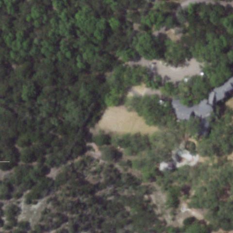
Aerial tile for TX95Not visible

TX95 Wild Basin

AUSTIN, TX

30.3100166670001, -97.812630556

Center shows dense forest and a private residence; no helipad or prepared pad visible.

87% confidence Verify on the map →
Is there really a pad here?
Aerial tile for 53TSNot visible

53TS Baylor Scott & White Frisco

FRISCO, TX

33.2099416670001, -96.8147611109999

Center shows a bare harvested agricultural field with no helipad visible; imagery predates Baylor Scott & White Frisco construction.

90% confidence Verify on the map →
Is there really a pad here?
Aerial tile for XS63Not visible

XS63 Monahan Helicopter Service

BULVERDE, TX

29.7358055560001, -98.458319444

Center shows a cleared dirt area in scrubland adjacent to a metal building, but no distinct helipad markings or prepared pad surface visible.

70% confidence Verify on the map →
Is there really a pad here?
Aerial tile for XA82Not visible

XA82 Tumbleweed

WEST LAKE HILLS, TX

30.3226240000001, -97.868295

Center shows dense residential/wooded area with no helipad or prepared pad visible.

87% confidence Verify on the map →
Is there really a pad here?
Aerial tile for 7XA1Not visible

7XA1 Redline Helicopter Tours

CORPUS CHRISTI, TX

27.618644444, -97.219508333

Center shows what appears to be a partially cleared/paved lot with some structures, but no distinct helipad H or pad marking visible; may predate tour facility.

72% confidence Verify on the map →
Is there really a pad here?
Aerial tile for XA73Not visible

XA73 University Health Palo Alto

SAN ANTONIO, TX

29.305777778, -98.5367666669999

Center shows a highway/road corridor with scrubland; no helipad visible, imagery likely predates hospital construction.

90% confidence Verify on the map →
Is there really a pad here?
Aerial tile for 61XSNot visible

61XS University Health Retama Hospital

SELMA, TX

29.5876805560001, -98.323675

Center shows a highway and open scrubland with no helipad visible; imagery predates University Health Retama Hospital construction.

90% confidence Verify on the map →
Is there really a pad here?
Aerial tile for TT23Not visible

TT23 Redline Helicopter Tours

SOUTH PADRE ISLAND, TX

26.2060805560001, -97.1801944439999

Image center shows blurry sandy dune/beach terrain with no pad markings, prepared surface, or landing indicators visible.

85% confidence Verify on the map →
Is there really a pad here?
Aerial tile for 26TTNot visible

26TT Sunset Resort

MICO, TX

29.5426400000001, -98.92976

Center shows a bare sandy hillside/lakeside terrain with no helipad markings, cleared pad, or landing surface visible.

80% confidence Verify on the map →
Is there really a pad here?
Aerial tile for TA49Not visible

TA49 Christus Mother Frances Athens

ATHENS, TX

32.173191, -95.843465

Image center is an open dirt/construction area with farm buildings at the periphery; no helipad markings or prepared pad visible at center.

75% confidence Verify on the map →
Is there really a pad here?
Aerial tile for TX85Not visible

TX85 Christus Good Shepherd Henderson

HENDERSON, TX

32.1311111110001, -94.781388889

Center is an open green agricultural field with no helipad markings or prepared landing surface; hospital facility not visible at center.

85% confidence Verify on the map →
Is there really a pad here?
Aerial tile for TT33Not visible

TT33 Alexander Landing

AMARILLO, TX

35.244691667, -101.905502778

Center shows a residential property with house and grounds but no prepared helipad, H marking, or landing indicator visible.

80% confidence Verify on the map →
Is there really a pad here?
Aerial tile for TT74Not visible

TT74 Moura

PERRIN, TX

33.103166667, -98.083027778

Center is open scrub pastureland with a road at the far edge and no helipad markings or prepared landing surface visible.

85% confidence Verify on the map →
Is there really a pad here?
Aerial tile for XS17Not visible

XS17 Gone Nuts Heli Base

KERENS, TX

32.0818550000001, -96.3077969999999

Center is open farmland/field with a fence line and no prepared pad or helipad markings visible.

80% confidence Verify on the map →
Is there really a pad here?
Aerial tile for TS31Not visible

TS31 Methodist Southlake

SOUTHLAKE, TX

32.957178056, -97.1470883329999

Center is an open mowed field; hospital building appears at the far edge but no helipad markings or prepared surface visible at center.

80% confidence Verify on the map →
Is there really a pad here?
Aerial tile for TX11Not visible

TX11 Dhs Laredo

LAREDO, TX

27.4163722220001, -99.451275

Image center shows sandy sparse-vegetation terrain typical of undeveloped land with no helipad markings or structures visible.

80% confidence Verify on the map →
Is there really a pad here?
Aerial tile for 31TTNot visible

31TT A1 Hvm

LUCAS, TX

33.0995, -96.5984444439999

Center shows a residential compound with multiple structures and lawn but no prepared landing pad or helipad markings visible.

80% confidence Verify on the map →
Is there really a pad here?
Aerial tile for XS37Not visible

XS37 Pecan Knoll

HEATH, TX

32.8181000000001, -96.492625

Center is a large bare-earth construction site on a lakeside lot with no helipad markings or prepared pad visible.

80% confidence Verify on the map →
Is there really a pad here?
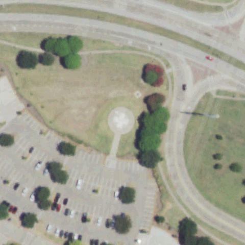
Aerial tile for TT56Not visible

TT56 Christus Health Palestine

PALESTINE, TX

31.7377777780001, -95.6313888889999

Center is an open grass and bare-dirt field with hospital building visible only at the bottom edge; no helipad or landing markings visible at center.

80% confidence Verify on the map →
Is there really a pad here?
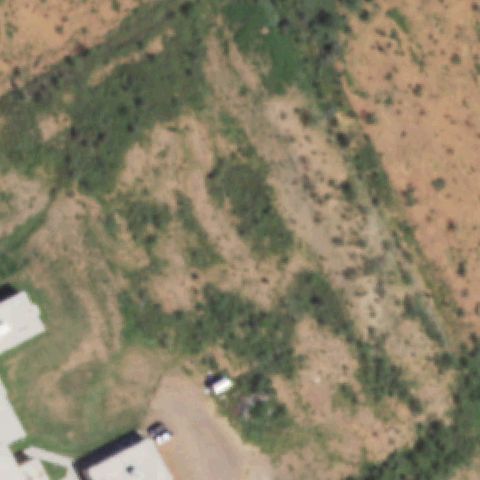
Aerial tile for TS16Not visible

TS16 Christus Health Mount Pleasant

MOUNT PLEASANT, TX

33.1697222220001, -95.0038888889999

Entire image center is covered by dense tree canopy with no helipad, clearing, or landing surface visible.

85% confidence Verify on the map →
Is there really a pad here?
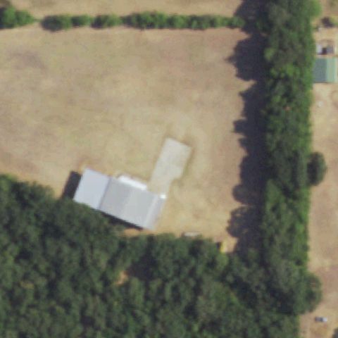
Aerial tile for 53TXNot visible

53TX Innovation First

GREENVILLE, TX

33.064243, -96.1495619999999

Image center is an open bare-dirt field above a large commercial/industrial building complex; no helipad markings or prepared landing pad visible at center.

85% confidence Verify on the map →
Is there really a pad here?
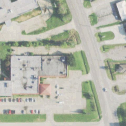
Aerial tile for TX17Off-center

TX17 Ut Health East Texas Athens Hospital

ATHENS, TX

32.169597222, -95.847152778

Hospital building with faint H marking visible on rooftop in right portion of image; center of image is parking/road area rather than the pad itself.

70% confidence Verify on the map →
Is there really a pad here?
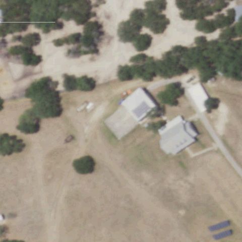
Aerial tile for TS23Off-center

TS23 Mgm

AUSTIN, TX

30.337735556, -97.905944306

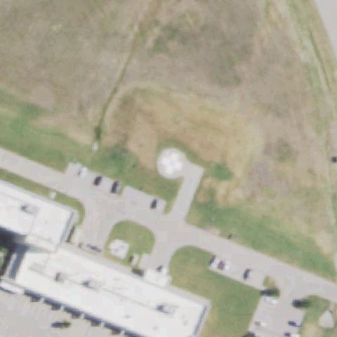
White circular pad visible just right of the road near center; consistent with a ground helipad though no distinct H marking is visible.

72% confidence Verify on the map →
Is there really a pad here?
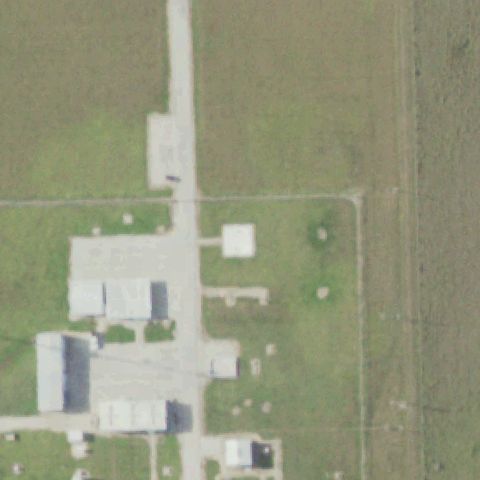
Aerial tile for TX63Off-center

TX63 Brownfield Rgnl Medical Center

BROWNFIELD, TX

33.188291667, -102.2682

Small square pad with cross marking visible slightly left of center near medical facility; helipad appears to be just off center.

78% confidence Verify on the map →
Is there really a pad here?
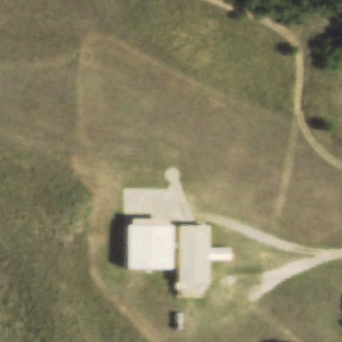
Aerial tile for XA94Off-center

XA94 Rick's Hilltop

BURNET, TX

30.758566667, -98.2488472219999

Faint square marking on open ground visible slightly off center near residential property; low confidence due to image blur.

60% confidence Verify on the map →
Is there really a pad here?
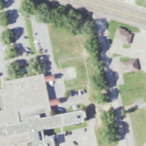
Aerial tile for TE41Off-center

TE41 Montgomery County Law Enforcement Center

CONROE, TX

30.3352091670001, -95.452995833

Ground helipad with circle and H marking visible at lower portion of image; slightly off center toward lower left.

85% confidence Verify on the map →
Is there really a pad here?
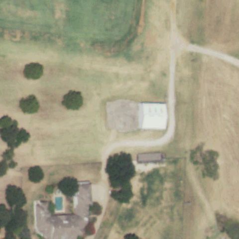
Aerial tile for XA61Off-center

XA61 Baylor University Medical Center Dallas

DALLAS, TX

32.7883305560001, -96.7800999999999

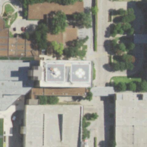
Two circular touchdown markers visible on hospital rooftop, slightly above center of image.

90% confidence Verify on the map →
Is there really a pad here?
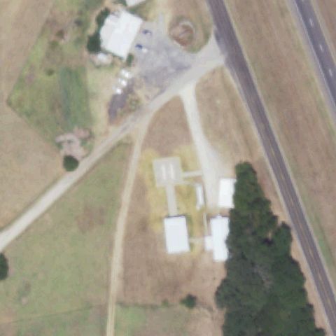
Aerial tile for XS73Off-center

XS73 Scott & White Medical Center - College Station

COLLEGE STATION, TX

30.5823611110001, -96.278194444

Square ground-level pad with H marking visible slightly below center near hospital building.

85% confidence Verify on the map →
Is there really a pad here?
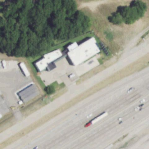
Aerial tile for 3XS9Off-center

3XS9 Comanche County Consolidated Hospital Dist

COMANCHE, TX

31.985272222, -98.562344444

Small distinct concrete pad visible in open field area, slightly below center; no clear H but prepared surface.

70% confidence Verify on the map →
Is there really a pad here?
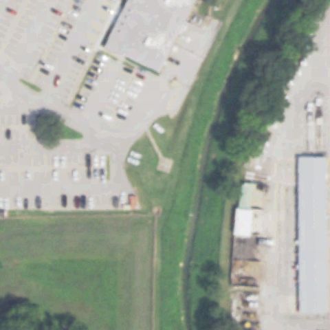
Aerial tile for XA57Off-center

XA57 Medical City Decatur

DECATUR, TX

33.218319444, -97.596933333

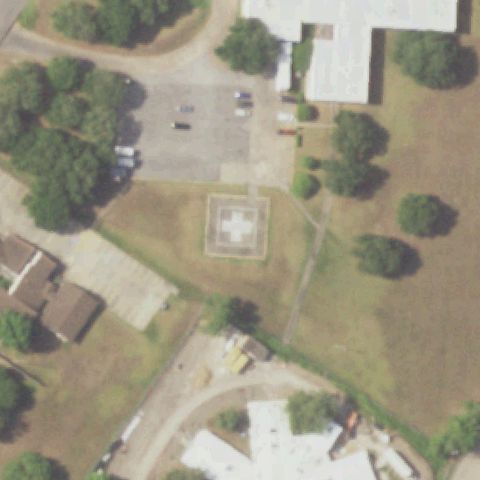
Small concrete pad visible in grass field slightly below center; no clear H but distinct prepared surface.

72% confidence Verify on the map →
Is there really a pad here?
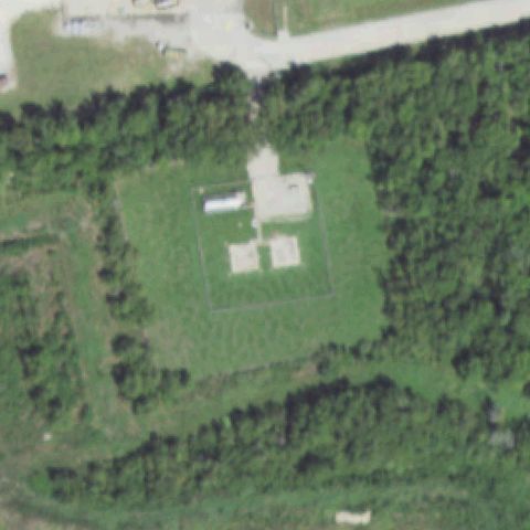
Aerial tile for 61TSOff-center

61TS La Porte Plant

DEER PARK, TX

29.7288386110001, -95.089097222

Ground-level concrete pad with triangle/arrow marking visible in left-center area, slightly off center.

78% confidence Verify on the map →
Is there really a pad here?
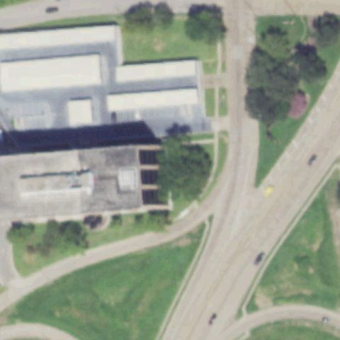
Aerial tile for 5TX9Off-center

5TX9 Parkway Surgical Hospital

FORT WORTH, TX

32.8961166670001, -97.313233333

Ground-level concrete pad with cross/H marking visible below center, near surgical hospital.

85% confidence Verify on the map →
Is there really a pad here?
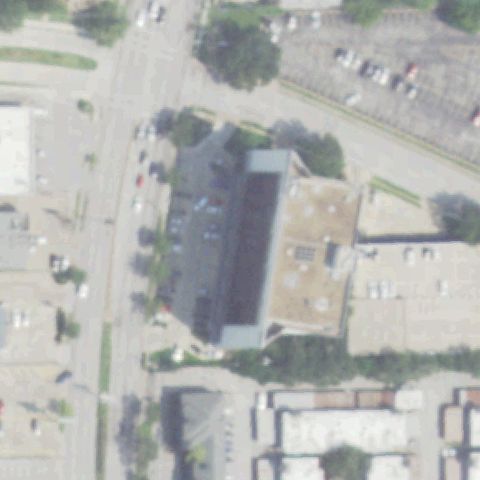
Aerial tile for 8TX9Off-center

8TX9 North Texas Medical Center

GAINESVILLE, TX

33.645475, -97.1635249999999

Ground-level cross/H pad visible slightly above center near hospital building.

85% confidence Verify on the map →
Is there really a pad here?
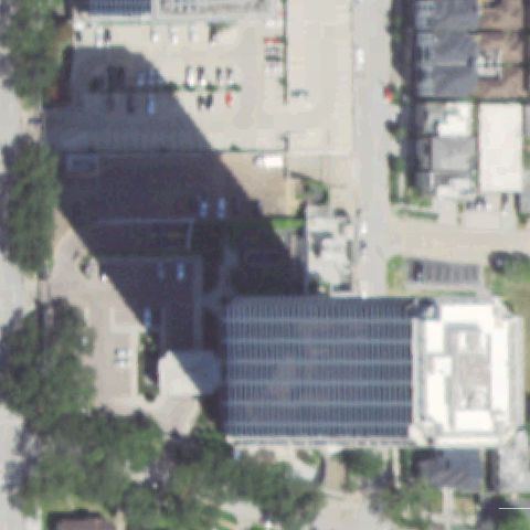
Aerial tile for XA54Off-center

XA54 Glen Rose Medical Center

GLEN ROSE, TX

32.2422, -97.746

Ground-level square pad with cross/H marking visible below main hospital building, slightly off center.

88% confidence Verify on the map →
Is there really a pad here?
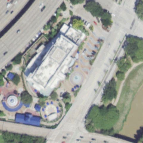
Aerial tile for 3XS7Off-center

3XS7 Bell Training Facility

FORT WORTH, TX

33.0491666670001, -97.2934999999999

A faint helipad box marking is visible on a paved surface near a runway edge, slightly off image center.

65% confidence Verify on the map →
Is there really a pad here?
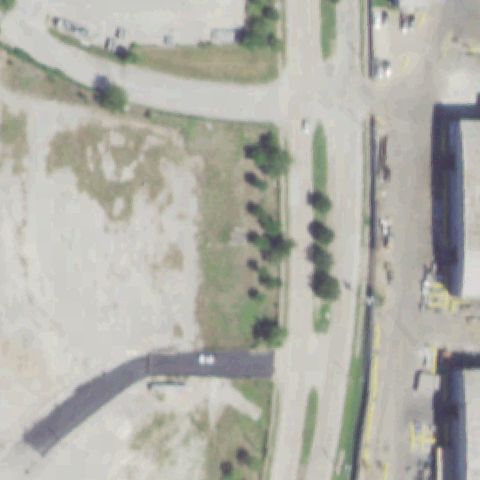
Aerial tile for 93TXOff-center

93TX John Peter Smith Ems Building

FORT WORTH, TX

32.726975, -97.326583333

Clear white H inside a square on a rooftop helipad; the marked pad is visible but slightly right of image center.

88% confidence Verify on the map →
Is there really a pad here?
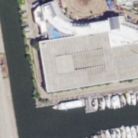
Aerial tile for 0XA3Off-center

0XA3 Midstream Freeport

FREEPORT, TX

28.969277778, -95.285194444

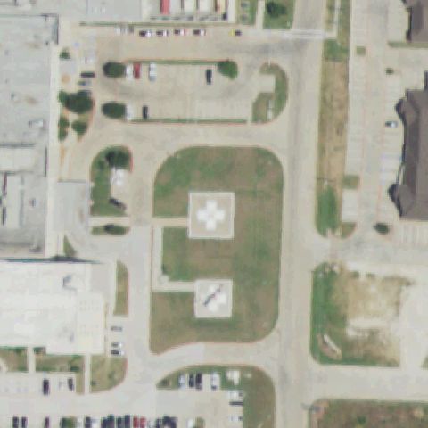
Two concrete pads with H markings and circle are visible in a grass area, slightly off the image center.

82% confidence Verify on the map →
Is there really a pad here?
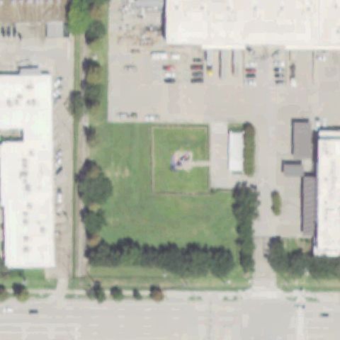
Aerial tile for 9TA7Off-center

9TA7 U of Texas Medical Branch Emergency Room

GALVESTON, TX

29.3124222220001, -94.779116667

Two rooftop helipads with clear H/circle markings are visible; primary pad is slightly off center to the right.

92% confidence Verify on the map →
Is there really a pad here?
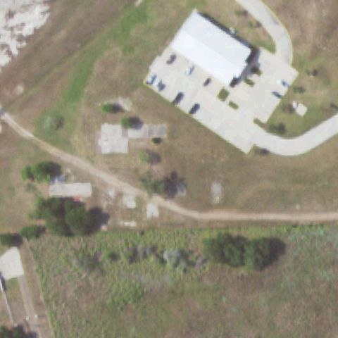
Aerial tile for XA74Off-center

XA74 Galveston Helipad Area Nr 2

GALVESTON, TX

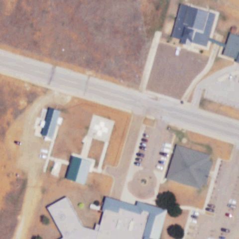
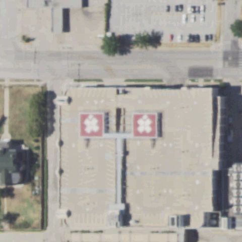
29.325116667, -94.784561111

Same UTMB rooftop helipad complex with two H/circle marked pads visible; primary at center-right.

90% confidence Verify on the map →
Is there really a pad here?
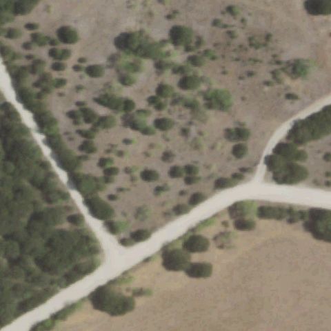
Aerial tile for 78TSOff-center

78TS South Texas Emergency Care Foundation Inc

HARLINGEN, TX

26.1684750000001, -97.6665694439999

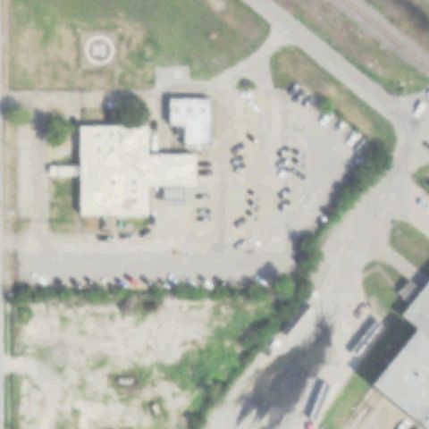
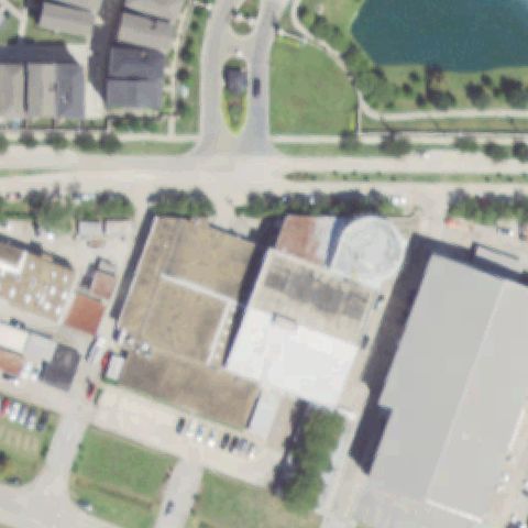
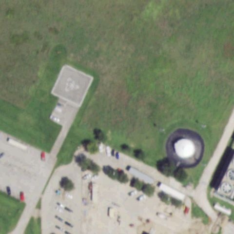
Small concrete pad with marker visible near a building; located slightly off the image center.

70% confidence Verify on the map →
Is there really a pad here?
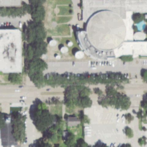
Aerial tile for 33XSOff-center

33XS Six Mile Volunteer Fire Department

HEMPHILL, TX

31.2502916670001, -93.778930556

Clear H marking on a small concrete pad beside a fire station building; pad is slightly right of image center.

90% confidence Verify on the map →
Is there really a pad here?
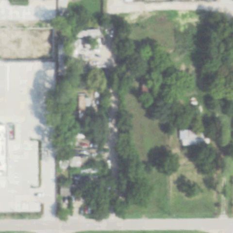
Aerial tile for 64TSOff-center

64TS Chi Baylor St Luke's Medical Center

HOUSTON, TX

29.707686111, -95.3992916669999

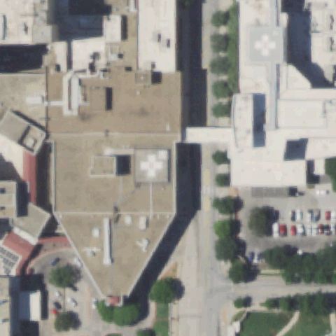
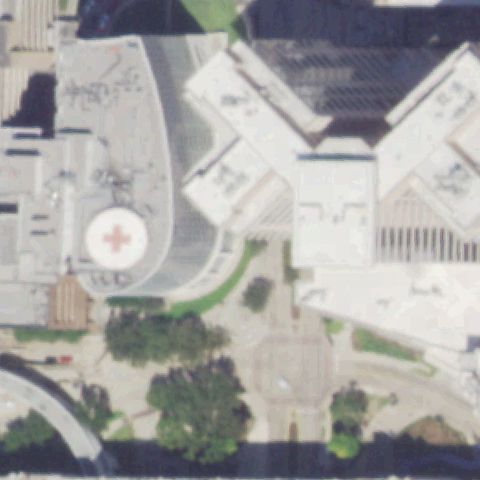
Very clear large rooftop helipad with red circle and white H cross marking; pad is at center-left of the image.

95% confidence Verify on the map →
Is there really a pad here?
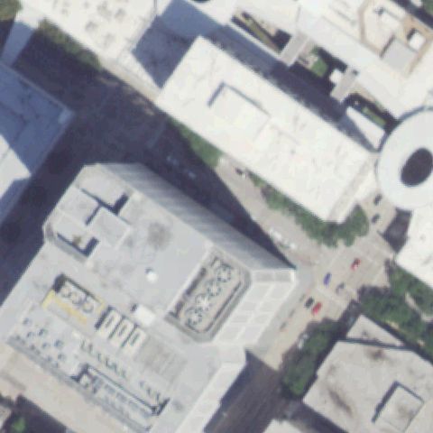
Aerial tile for 36TEOff-center

36TE Nw Police Station Nr 5

HOUSTON, TX

29.8568925000001, -95.539386667

A circle helipad marker is visible in the upper-left of the image near a police station, off image center.

80% confidence Verify on the map →
Is there really a pad here?
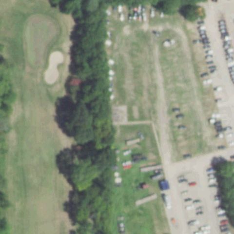
Aerial tile for 87TSOff-center

87TS Star Houston

HOUSTON, TX

29.783560833, -95.442995556

A small concrete pad area is visible slightly off center; faint marking suggests a helipad.

65% confidence Verify on the map →
Is there really a pad here?
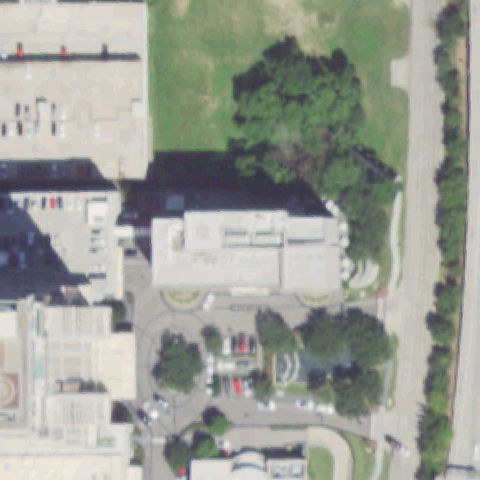
Aerial tile for 72TXOff-center

72TX Johnson Space Center

HOUSTON, TX

29.5622222220001, -95.090833333

Concrete touchdown pad with square marker visible in upper-left quadrant; image center is open green field.

75% confidence Verify on the map →
Is there really a pad here?
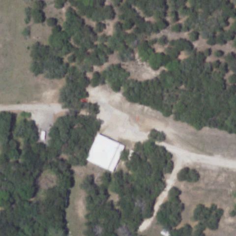
Aerial tile for 4TS6Off-center

4TS6 State Police

JERSEY VILLAGE, TX

29.9049555560001, -95.59835

Small concrete pad visible slightly off center in open green area near the police facility; markings are faint.

65% confidence Verify on the map →
Is there really a pad here?
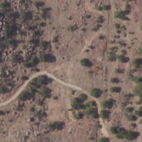
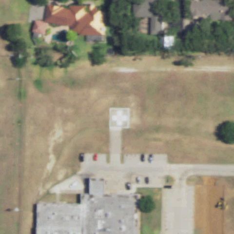
Aerial tile for 01XAOff-center

01XA Seton Medical Center Hays

KYLE, TX

30.0072222220001, -97.853333333

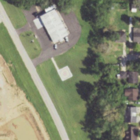
Concrete pad with H marking visible slightly off center; the main pad is clearly visible next to the hospital approach road.

85% confidence Verify on the map →
Is there really a pad here?
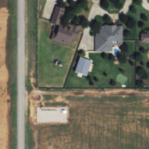
Aerial tile for 28XAOff-center

28XA Doctors Hospital

LAREDO, TX

27.606697222, -99.4793194439999

Small concrete pad is visible off center near the intersection; markings are faint and imagery appears dated.

65% confidence Verify on the map →
Is there really a pad here?
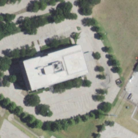
Aerial tile for TX87Off-center

TX87 Methodist Hospital South

JOURDANTON, TX

28.9324916670001, -98.5253083329999

Small concrete pad with faint markings visible slightly off center; near the hospital building.

72% confidence Verify on the map →
Is there really a pad here?
Aerial tile for 4TS3Off-center

4TS3 Palestine Rgnl Medical Center

PALESTINE, TX

31.7327888890001, -95.626

White circular pad visible in open field slightly off-center from image; no strong H marking but distinctly prepared surface.

72% confidence Verify on the map →
Is there really a pad here?
Aerial tile for TE98Off-center

TE98 Frio Rgnl Hospital

PEARSALL, TX

28.897222222, -99.117222222

Small square pad with cross/H marking visible slightly off-center near hospital buildings in Pearsall.

78% confidence Verify on the map →
Is there really a pad here?
Aerial tile for 35XSOff-center

35XS Nocona General Hospital

NOCONA, TX

33.7785138890001, -97.732580556

Small square helipad with markings visible in field slightly off image center, associated with hospital to south.

80% confidence Verify on the map →
Is there really a pad here?
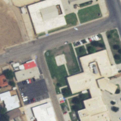
Aerial tile for TS43Off-center

TS43 Wagner

PALACIOS, TX

28.7163788890001, -96.2141333329999

Small square helipad with cross/H marking visible slightly off-center in open field near building complex.

80% confidence Verify on the map →
Is there really a pad here?

Aerial tile for 03TXOff-center

03TX M D K Fld

PEARLAND, TX

29.580897222, -95.306355556

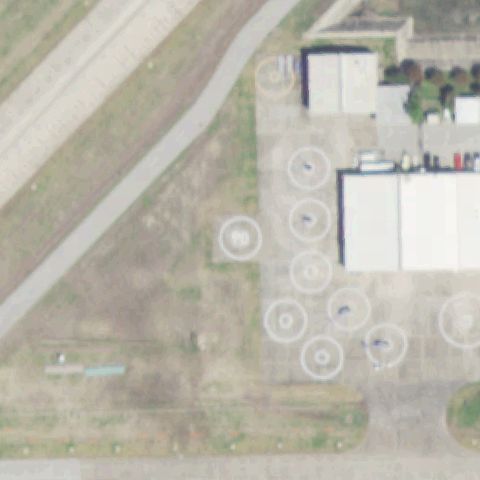
Multiple H-marked helipad pads visible in upper portion of image at airport/airfield; off-center from image center.

85% confidence Verify on the map →
Is there really a pad here?
Aerial tile for 03TSOff-center

03TS Shannon Medical Center

SAN ANGELO, TX

31.4658027780001, -100.433966667

White pad visible in hospital campus grounds, slightly off image center.

78% confidence Verify on the map →
Is there really a pad here?
Aerial tile for MDAOff-center

MDA Martindale AHP

SAN ANTONIO, TX

29.4313441670001, -98.377791944

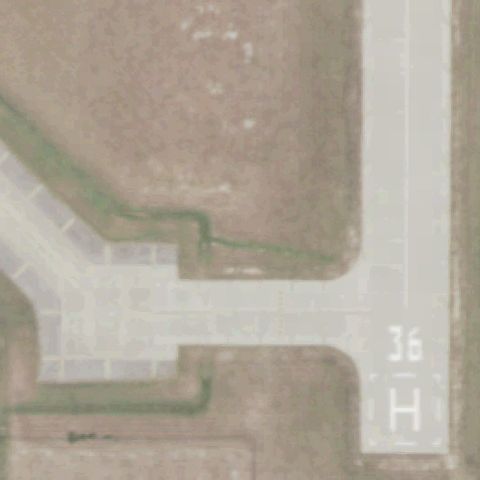
Airport helipad with H marking and runway number 36 clearly visible at lower-right portion of image; off-center from image center.

85% confidence Verify on the map →
Is there really a pad here?
Aerial tile for 4XA6Off-center

4XA6 Medical Center of Southeast Texas

PORT ARTHUR, TX

29.9365611110001, -93.988877778

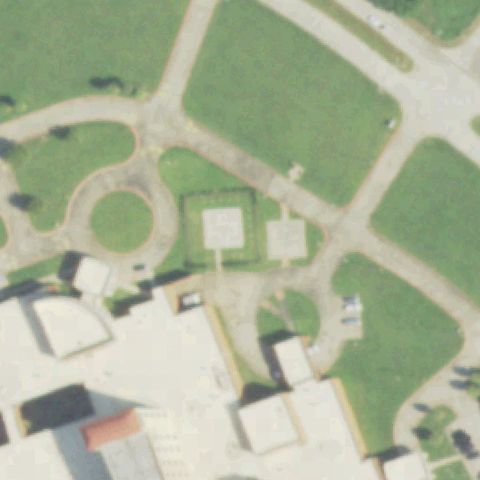
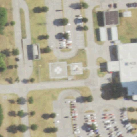
Hospital campus shows two square pads with visible markings in the grounds area, slightly off image center.

83% confidence Verify on the map →
Is there really a pad here?
Aerial tile for 1TA0Off-center

1TA0 Baystar Bayport Polymers LLC

SEABROOK, TX

29.602445, -95.016699

Ground concrete pad with H cross marking visible slightly below image center near hospital facility.

88% confidence Verify on the map →
Is there really a pad here?
Aerial tile for XS98Off-center

XS98 Guadalupe Hospital

SEGUIN, TX

29.567219444, -97.946961111

Ground helipad with white H cross marking visible slightly below and left of image center near hospital.

90% confidence Verify on the map →
Is there really a pad here?
Aerial tile for 1TE2Off-center

1TE2 Black Forest

THE WOODLANDS, TX

30.145339806, -95.433891111

Concrete ground helipad with circle-within-square marking visible slightly off center on grassy corridor.

91% confidence Verify on the map →
Is there really a pad here?
Aerial tile for 7TX1Off-center

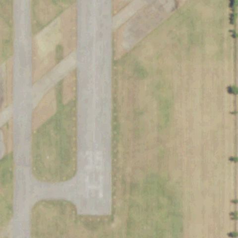
7TX1 Providence Health Center

WACO, TX

31.5140638890001, -97.200394444

Rooftop helipad with clear white H cross and red border visible on hospital building, slightly right of center.

93% confidence Verify on the map →
Is there really a pad here?
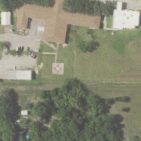
Aerial tile for 8TA2Off-center

8TA2 Department of Public Safety

SHERMAN, TX

33.6494277780001, -96.610180556

Large concrete pad with cross/H marking visible slightly off center on grassy property.

85% confidence Verify on the map →
Is there really a pad here?
Aerial tile for 5TX3Off-center

5TX3 Centerpoint Energy South Houston

SOUTH HOUSTON, TX

29.642174722, -95.211600556

Ground helipad with circle marking in a square outline visible slightly below center of the industrial facility.

87% confidence Verify on the map →
Is there really a pad here?
Aerial tile for 59XSOff-center

59XS Scott & White Meml Hospital

TEMPLE, TX

31.0762777780001, -97.364802778

Rooftop helipad with white H and red border visible near top of image; second ground pad visible at bottom; both off center.

96% confidence Verify on the map →
Is there really a pad here?
Aerial tile for 26TSOff-center

26TS Meml Hospital-The Woodlands

THE WOODLANDS, TX

30.1744722220001, -95.452986111

Rooftop pad with white H visible on building at left; circular ground pad also visible near center of image.

92% confidence Verify on the map →
Is there really a pad here?
Aerial tile for TS52Off-center

TS52 Tomball Rgnl Medical Center

TOMBALL, TX

30.0867527780001, -95.6214277779999

Ground concrete helipad with H marking visible slightly right of image center on grassy area.

88% confidence Verify on the map →
Is there really a pad here?
Aerial tile for 1XA9Off-center

1XA9 Life Flight North Fuel

TOMBALL, TX

29.941505556, -95.529863889

Ground concrete helipad pad outline visible slightly below center on open grassy area near highway.

84% confidence Verify on the map →
Is there really a pad here?
Aerial tile for TE18Off-center

TE18 Mother Frances Hospital

TYLER, TX

32.341944444, -95.291111111

Small rooftop helipad with H visible at left edge of image; image center shows parking lot.

80% confidence Verify on the map →
Is there really a pad here?
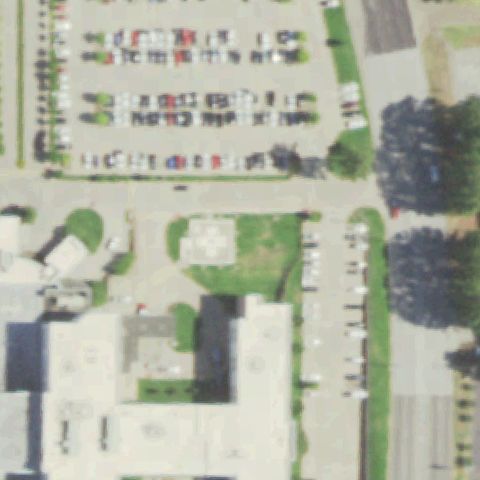
Aerial tile for 5TX7Off-center

5TX7 Ut Health East Texas Tyler Rgnl Hospital

TYLER, TX

32.337788889, -95.290438889

Ground helipad with white H marking visible slightly below center in hospital campus parking area.

83% confidence Verify on the map →
Is there really a pad here?
Aerial tile for TS32Off-center

TS32 Waskom

WASKOM, TX

32.471155556, -94.055944444

Square concrete pad outline visible slightly below center on grassy area; no clear H marking discernible.

72% confidence Verify on the map →
Is there really a pad here?
Aerial tile for 4XS3Off-center

4XS3 Columbia Lakes

WEST COLUMBIA, TX

29.168023889, -95.621335

Ground helipad with circle marking visible slightly off center on concrete pad adjacent to farm field.

85% confidence Verify on the map →
Is there really a pad here?
Aerial tile for 1TE6Off-center

1TE6 Meml Hermann Pearland Hospital

PEARLAND, TX

29.564652778, -95.388033333

Distinct square pad with circle touchdown marker visible slightly left of image center amid hospital complex.

88% confidence Verify on the map →
Is there really a pad here?
Aerial tile for 64TAOff-center

64TA Texas Health Resources Azle

AZLE, TX

32.8800000000001, -97.5320833329999

Small white square concrete pad visible below center on grassy area adjacent to hospital parking.

75% confidence Verify on the map →
Is there really a pad here?
Aerial tile for 4TA9Off-center

4TA9 Texas Health Resources Cleburne

CLEBURNE, TX

32.333055556, -97.4377777779999

White cross/H on square concrete pad visible slightly below and left of center on grass.

78% confidence Verify on the map →
Is there really a pad here?
Aerial tile for 6TA4Off-center

6TA4 Harris County Esd #80

CROSBY, TX

29.889533333, -95.0584527779999

Square concrete pad with circle touchdown marker visible slightly right of image center next to fire station.

80% confidence Verify on the map →
Is there really a pad here?
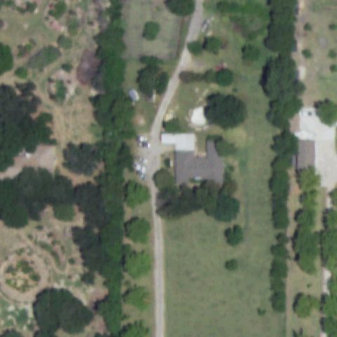
Aerial tile for 89TXOff-center

89TX Galveston Helicopter Adventures

GALVESTON, TX

29.3079888890001, -94.7690805559999

White square pad with faint interior marking visible slightly above center in open grassy area near highway.

72% confidence Verify on the map →
Is there really a pad here?
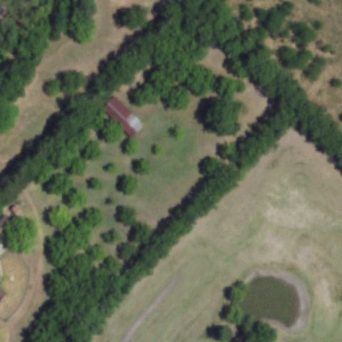
Aerial tile for 0TA1Off-center

0TA1 Texas Childrens Hospital West Campus

HOUSTON, TX

29.788694444, -95.691555556

Red-bordered square with white cross visible slightly left of center on hospital grounds.

82% confidence Verify on the map →
Is there really a pad here?
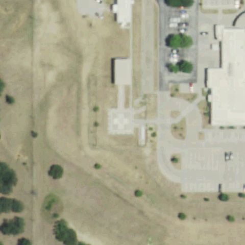
Aerial tile for XA55Off-center

XA55 Texas Health Resources Kaufman

KAUFMAN, TX

32.5923888890001, -96.317652778

Clear red/white bordered square pad with H marking visible upper-right of center among hospital buildings.

85% confidence Verify on the map →
Is there really a pad here?
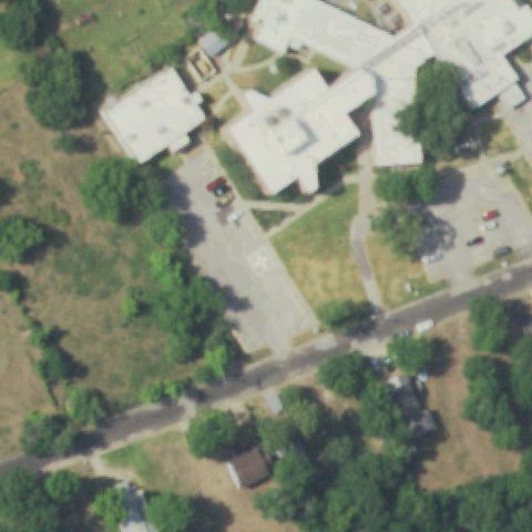
Aerial tile for 8TA4Off-center

8TA4 Texas Health Willow Park

WILLOW PARK, TX

32.7452222220001, -97.661694444

Circular white pad on concrete square visible slightly above center north of hospital building.

78% confidence Verify on the map →
Is there really a pad here?
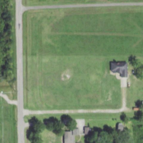
Aerial tile for 74TAOff-center

74TA Varnell

DRIPPING SPRINGS, TX

30.234452778, -98.171247222

Small yellow-green square pad with faint H visible below the main building compound, off center.

70% confidence Verify on the map →
Is there really a pad here?
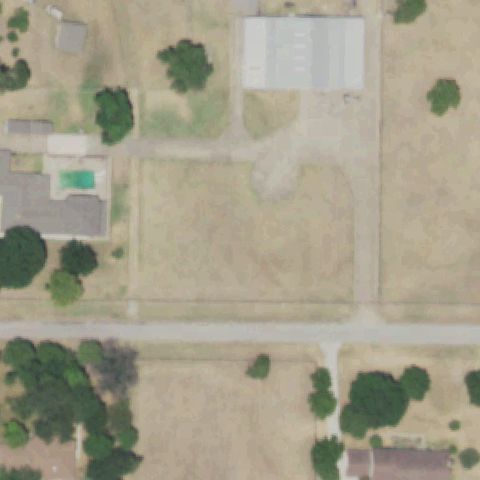
Aerial tile for 50TEOff-center

50TE West Columbia

WEST COLUMBIA, TX

29.148055556, -95.641083333

Small red/white circle pad visible slightly off center on grass near building.

78% confidence Verify on the map →
Is there really a pad here?
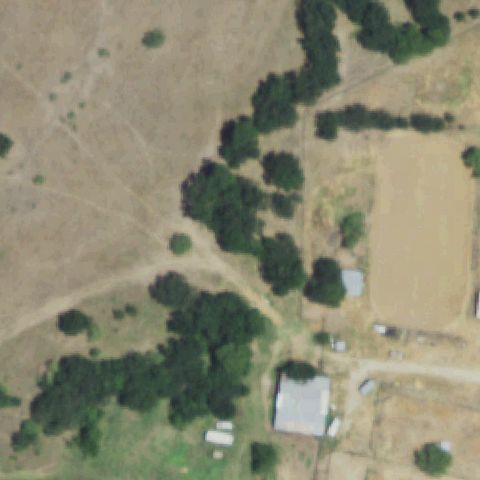
Aerial tile for TA29Off-center

TA29 Christus Spohn Hospital Alice

ALICE, TX

27.7650295830001, -98.040906111

White circle within square pad visible slightly right of center on grass near hospital.

82% confidence Verify on the map →
Is there really a pad here?
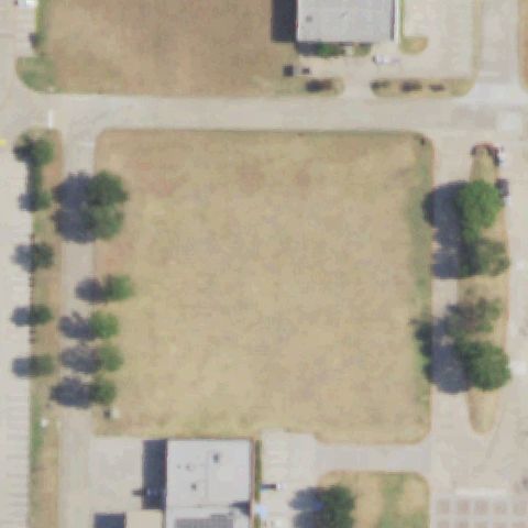
Aerial tile for TE42Off-center

TE42 D.F.C.H.

CORPUS CHRISTI, TX

27.7487, -97.384902778

White cross/H on concrete pad visible off center left amid commercial/medical complex.

78% confidence Verify on the map →
Is there really a pad here?
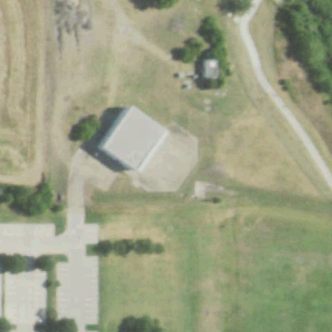
Aerial tile for 7TS7Off-center

7TS7 Melvin Ems Helipad

MELVIN, TX

31.198516667, -99.578305556

Small white square pad visible slightly off center in rural setting along road.

78% confidence Verify on the map →
Is there really a pad here?
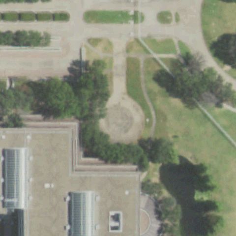
Aerial tile for TT06Off-center

TT06 Frio Canon

LEAKEY, TX

29.790430556, -99.701597222

Small white concrete square pad visible slightly off center in rural roadside setting.

70% confidence Verify on the map →
Is there really a pad here?
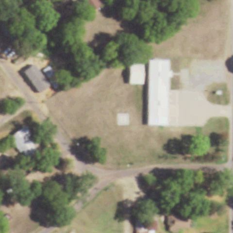
Aerial tile for 11XSOff-center

11XS Speed Shore Company Headquarters

PEARLAND, TX

29.5970452780001, -95.369420278

Small white concrete square pad visible slightly off center in industrial area north of highway.

72% confidence Verify on the map →
Is there really a pad here?
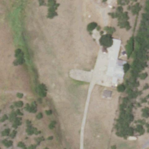
Aerial tile for 13TAOff-center

13TA Texas Health Resources Frisco Hospital

FRISCO, TX

33.180797222, -96.838466667

Square concrete ground pad with circle marker visible; pad is slightly left of image center near hospital.

88% confidence Verify on the map →
Is there really a pad here?
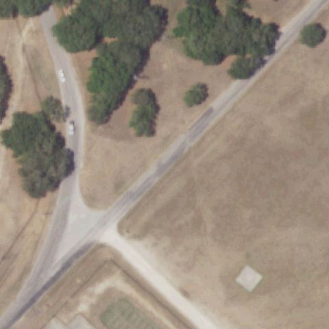
Aerial tile for 67TAOff-center

67TA Leading Edge San Marcos

SAN MARCOS, TX

29.8025000000001, -98.014722222

Small concrete pad visible in open field slightly off center; no clear H or circle marking visible at this resolution.

55% confidence Verify on the map →
Is there really a pad here?
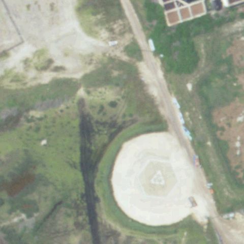
Aerial tile for 87XAOff-center

87XA Methodist Midlothian Medical Center

MIDLOTHIAN, TX

32.4697055560001, -96.980811111

Square ground pad with H marker visible but positioned in upper-right of image center.

90% confidence Verify on the map →
Is there really a pad here?
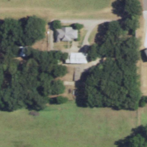
Aerial tile for XA83Off-center

XA83 Meml Hermann Southeast Hospital

HOUSTON, TX

29.581972222, -95.208358333

Circular ground pad with H marker visible near hospital; slightly off center toward upper portion.

87% confidence Verify on the map →
Is there really a pad here?
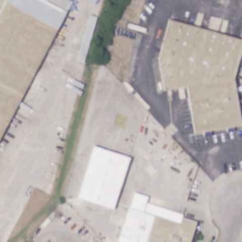
Aerial tile for XA84Off-center

XA84 Meml Hermann Greater Heights Hospital

HOUSTON, TX

29.8120000000001, -95.4315444439999

Circular ground pad with H marking visible near hospital campus, slightly off center.

87% confidence Verify on the map →
Is there really a pad here?
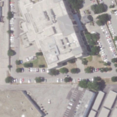
Aerial tile for XA64Off-center

XA64 Texas Health Mansfield

MANSFIELD, TX

32.5360277780001, -97.1001388889999

Red/white square pad with H marker visible but located slightly off center from image.

88% confidence Verify on the map →
Is there really a pad here?
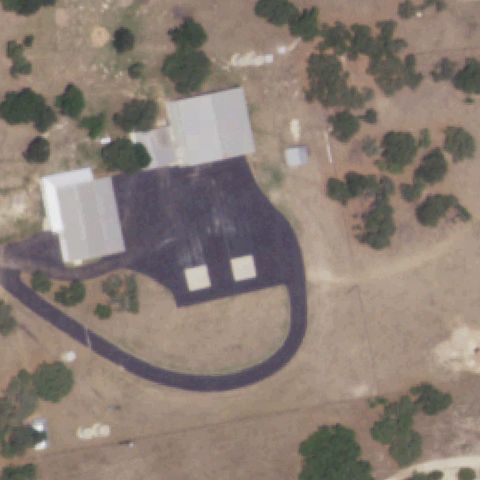
Aerial tile for 60TAOff-center

60TA Ut Health Henderson

HENDERSON, TX

32.1611861110001, -94.7948222219999

Hospital complex visible with square ground pad and H marker slightly off center.

82% confidence Verify on the map →
Is there really a pad here?
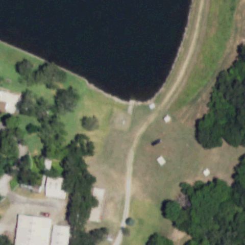
Aerial tile for TX76Off-center

TX76 The Women's Hospital of Texas

HOUSTON, TX

29.694747222, -95.4032611109999

Ground pad with H marker visible near image center, slightly off-center position.

85% confidence Verify on the map →
Is there really a pad here?
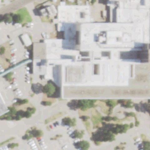
Aerial tile for 11TAOff-center

11TA Christus Mother Frances Winnsboro

WINNSBORO, TX

32.946202778, -95.3066638889999

Square pad with H marker visible near hospital, slightly off center from image center.

85% confidence Verify on the map →
Is there really a pad here?
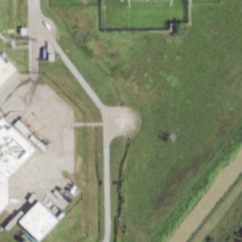
Aerial tile for 00TAOff-center

00TA Sabine Pilots

PORT ARTHUR, TX

29.935694444, -93.9854999999999

Small square/circle pad visible near image center, slightly off-center position.

80% confidence Verify on the map →
Is there really a pad here?
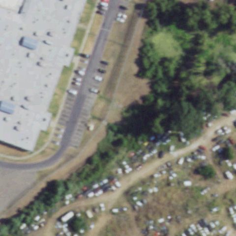
Aerial tile for 39XAOff-center

39XA Childrens Medical Center Plano

PLANO, TX

33.0787777780001, -96.8001069439999

Ground H pad visible near hospital; slightly off center in image.

88% confidence Verify on the map →
Is there really a pad here?
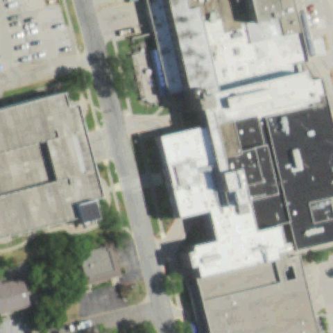
Aerial tile for XA58Off-center

XA58 Christus Jacksonville

JACKSONVILLE, TX

31.937744444, -95.2469833329999

H marking visible on ground pad but located toward upper portion of image, off center.

75% confidence Verify on the map →
Is there really a pad here?
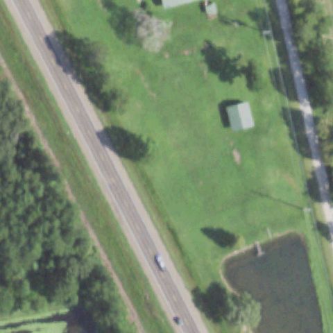
Aerial tile for 38TXOff-center

38TX Utsw Medical Center - Clements

DALLAS, TX

32.820447222, -96.850330556

A red-background H helipad is clearly visible on the UTSW Clements hospital rooftop, though it falls slightly off-center toward the lower right of the image.

90% confidence Verify on the map →
Is there really a pad here?
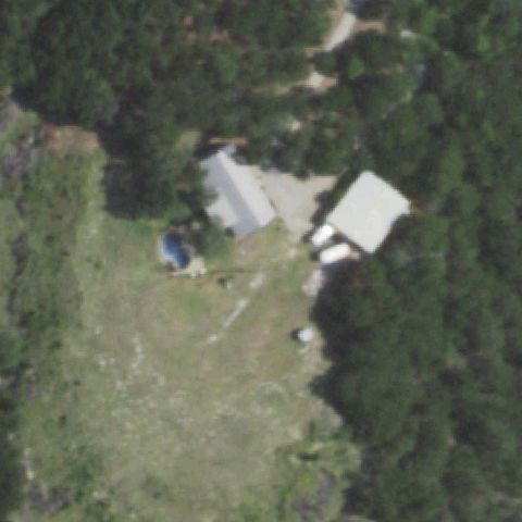
Aerial tile for TE55Off-center

TE55 Liberty Dayton Rgnl Medical Center

LIBERTY, TX

30.069405556, -94.7987666669999

A small prepared square pad is visible in the upper portion of the image near the hospital grounds, but the image center is open grass; pad is off-center.

65% confidence Verify on the map →
Is there really a pad here?
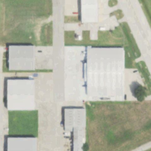
Aerial tile for 9TX2Off-center

9TX2 Department of Public Safety

LUBBOCK, TX

33.626159, -101.820087

A small prepared concrete pad with H marking is visible in the right-center area of the DPS campus, slightly off-center from the image center.

78% confidence Verify on the map →
Is there really a pad here?
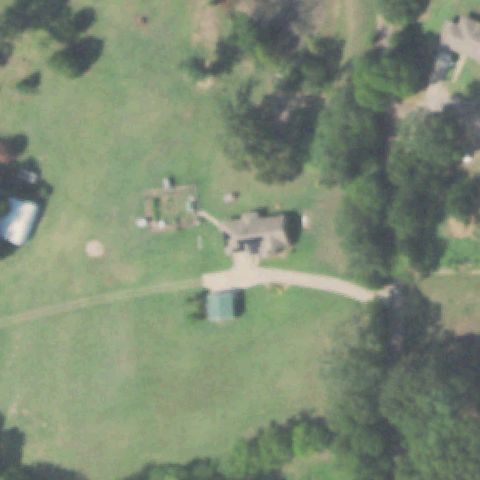
Aerial tile for 30XSOff-center

30XS Gonzales Meml Hospital

GONZALES, TX

29.5184305560001, -97.4292694439999

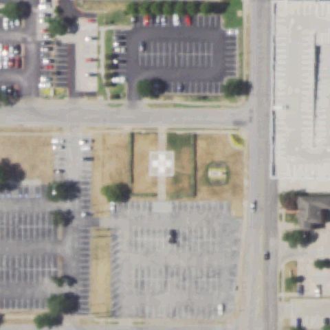
A clear H-marked ground helipad on a circular grass area is visible toward the right side of the image, off-center from the FAA coordinate.

85% confidence Verify on the map →
Is there really a pad here?
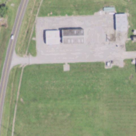
Aerial tile for 46TSOff-center

46TS McH

STANTON, TX

32.1392777780001, -101.786544444

A clearly visible H-marked concrete helipad is adjacent to the hospital building, slightly off-center toward the upper right of the image.

90% confidence Verify on the map →
Is there really a pad here?
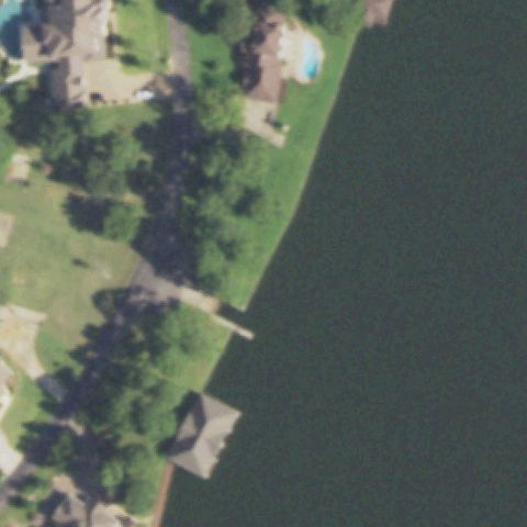
Aerial tile for 07XSUncertain

07XS Allen Ponderosa

CROWLEY, TX

32.542183333, -97.3916833329999

Rural property with building and open field at center; small concrete pad area visible near building but no clear helipad markings; low confidence.

65% confidence Verify on the map →
Is there really a pad here?
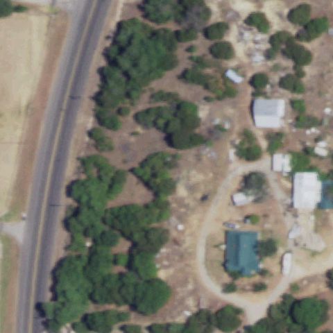
Aerial tile for 49TUncertain

49T Dallas Cbd

DALLAS, TX

32.7717222220001, -96.802055556

Large rooftop with faint arrow/triangle marking but no H, circle, or distinct touchdown pad visible at center.

20% confidence Verify on the map →
Is there really a pad here?
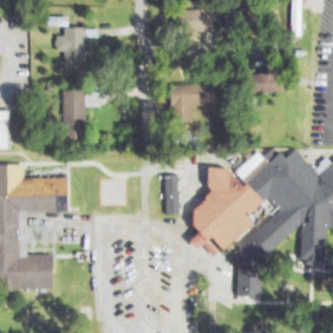
Aerial tile for TX18Uncertain

TX18 Redmond Taylor AHP

DALLAS, TX

32.7338333330001, -96.97225

Airport runway with threshold markings at center; this is a fixed-wing runway, no dedicated helipad visible.

15% confidence Verify on the map →
Is there really a pad here?
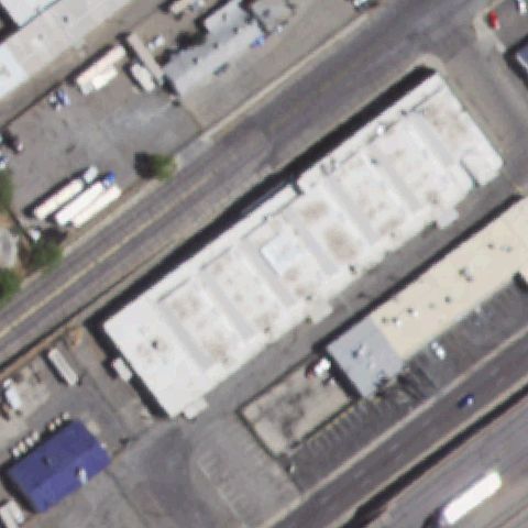
Aerial tile for TE43Uncertain

TE43 Parkland Health & Hospital System

DALLAS, TX

32.8113888890001, -96.837222222

Road intersection with trees and construction at center; no helipad markings visible.

10% confidence Verify on the map →
Is there really a pad here?
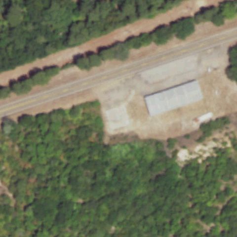
Aerial tile for 4TE5Uncertain

4TE5 Dell City

DELL CITY, TX

31.933446111, -105.200511667

Rural desert lots with scattered buildings and trailers; no helipad markers visible at center.

10% confidence Verify on the map →
Is there really a pad here?
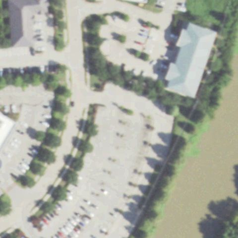
Aerial tile for T34Uncertain

T34 Talon Air

DICKINSON, TX

29.483416667, -95.008172222

Open grassy field with industrial buildings at edges; no pad markings visible at center.

10% confidence Verify on the map →
Is there really a pad here?
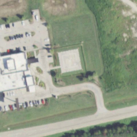
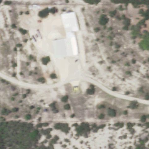
Aerial tile for 3TX0Uncertain

3TX0 Texas Dept of Public Safety

CORPUS CHRISTI, TX

27.7411405560001, -97.4349922219999

Open dirt/grass field at center with a faint circular outline near upper area but no prepared pad at center.

25% confidence Verify on the map →
Is there really a pad here?
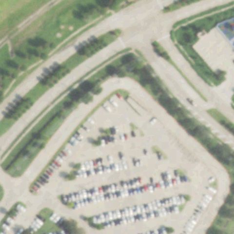
Aerial tile for 9TA4Uncertain

9TA4 Placid

DALLAS, TX

32.781795833, -96.798056667

Dark urban rooftops with poor imagery; faint circle at lower center but no confirmed helipad markings.

30% confidence Verify on the map →
Is there really a pad here?
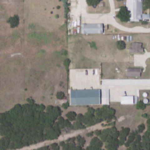
Aerial tile for TE28Uncertain

TE28 Shell Deer Park Refinery

DEER PARK, TX

29.7150833330001, -95.144008333

Washed-out imagery at center showing undefined structures; no confirmed helipad markings.

30% confidence Verify on the map →
Is there really a pad here?
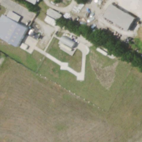
Aerial tile for TE82Uncertain

TE82 5-State

FATE, TX

32.9386111110001, -96.3674999999999

Rural area with trees, open fields, and residential structures; no helipad visible at center.

10% confidence Verify on the map →
Is there really a pad here?
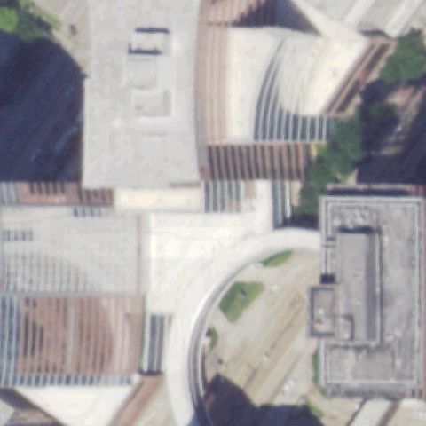
Aerial tile for 08TAUncertain

08TA Rancho Del Lago

FISCHER, TX

29.9518813890001, -98.224456389

Dense tree cover and road at center; no helipad or pad markings visible anywhere in image.

10% confidence Verify on the map →
Is there really a pad here?
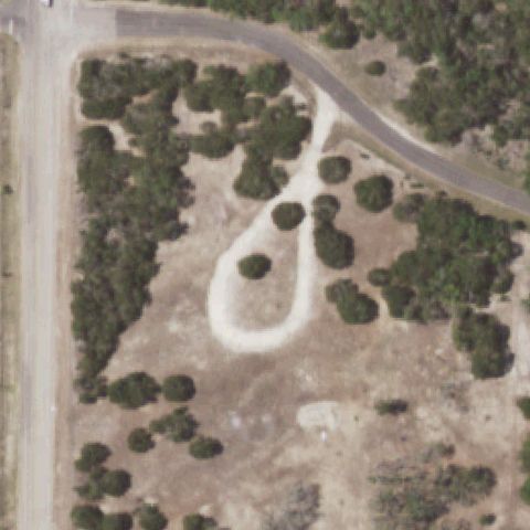
Aerial tile for TS56Uncertain

TS56 Ktvt Channel 11

FORT WORTH, TX

32.761794444, -97.2454194439999

Open grassy field with driveway and parking lot at edges; no helipad markings visible at center.

15% confidence Verify on the map →
Is there really a pad here?
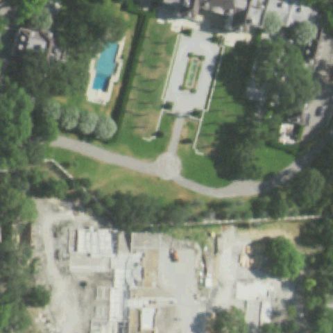
Aerial tile for XS96Uncertain

XS96 Hillwood

FORT WORTH, TX

32.9764500000001, -97.3088472219999

Small concrete pad near center but no H or other helipad markings; may be a loading area or utility pad.

35% confidence Verify on the map →
Is there really a pad here?
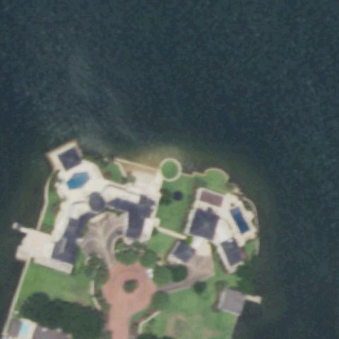
Aerial tile for TE30Uncertain

TE30 Harris Hospital

FORT WORTH, TX

32.7353902780001, -97.3385484999999

Large commercial/industrial rooftops at center with no visible helipad markings.

15% confidence Verify on the map →
Is there really a pad here?
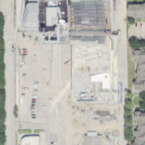
Aerial tile for 8XS5Uncertain

8XS5 San Luis Resort

GALVESTON, TX

29.271666667, -94.8186111109999

Hotel resort complex with pool and grounds at center; no helipad markings visible.

15% confidence Verify on the map →
Is there really a pad here?
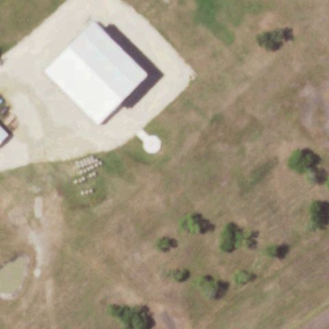
Aerial tile for 36TSUncertain

36TS 4bh

GEORGETOWN, TX

30.716944444, -97.776944444

Rural open scrubland with scattered structures; no helipad visible at center.

10% confidence Verify on the map →
Is there really a pad here?
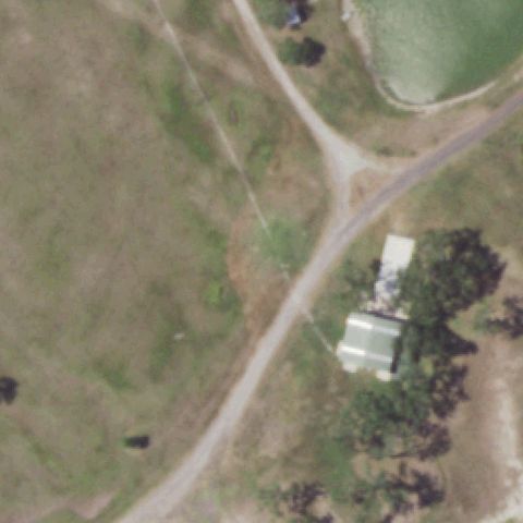
Aerial tile for 33TXUncertain

33TX Tsj

HOUSTON, TX

29.966613889, -95.407369444

Building with parking area; center appears to be a building rooftop with no visible helipad marking.

68% confidence Verify on the map →
Is there really a pad here?
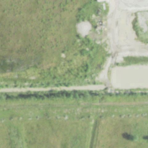
Aerial tile for 8TX1Uncertain

8TX1 Medical Emergency Gbc

GUN BARREL CITY, TX

32.3355250000001, -96.1163861109999

Open ground area with a concrete pad visible but no H or circle marking distinguishing it as a helipad.

65% confidence Verify on the map →
Is there really a pad here?
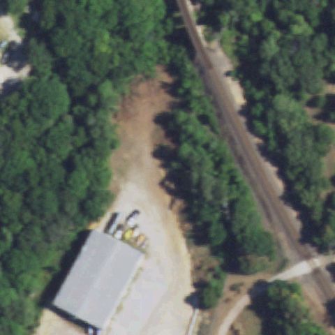
Aerial tile for XA80Uncertain

XA80 Martin Energy Svcs Harbor Island

PORT ARANSAS, TX

27.846388889, -97.0630555559999

Coastal/industrial area with multiple small rectangular structures; no clear helipad pad or H marking visible at center; confidence low due to image complexity.

60% confidence Verify on the map →
Is there really a pad here?
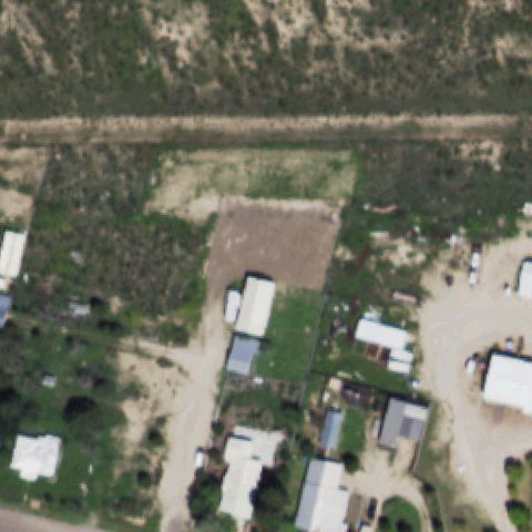
Aerial tile for TS48Uncertain

TS48 Arco Sabine

SABINE PASS, TX

29.712719722, -93.859608889

Coastal/industrial facility with multiple rectangular structures; no distinct H or helipad marking identifiable at image center.

60% confidence Verify on the map →
Is there really a pad here?
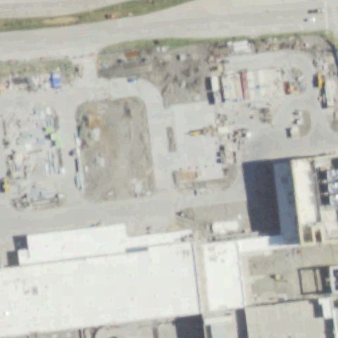
Aerial tile for 64TXUncertain

64TX North Central Baptist Hospital

SAN ANTONIO, TX

29.619675, -98.491366667

Image center shows warehouse/industrial area with a faint yellow diamond mark on pavement that is likely a parking or loading bay marker, not a helipad.

65% confidence Verify on the map →
Is there really a pad here?
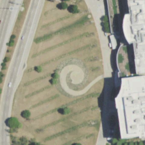
Aerial tile for 2TS7Uncertain

2TS7 Jamak Fabrication

WEATHERFORD, TX

32.7761194440001, -97.809175

Industrial/warehouse complex at center with a small square shape near center but no clear helipad marking.

68% confidence Verify on the map →
Is there really a pad here?
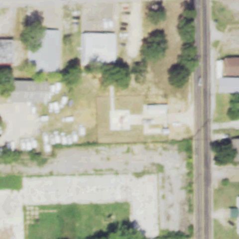
Aerial tile for 2TS6Uncertain

2TS6 Ae139

PARIS, TX

33.6886027780001, -95.550463889

Center area shows buildings and parking; a small white rectangle is visible but lacks distinctive helipad markings.

65% confidence Verify on the map →
Is there really a pad here?
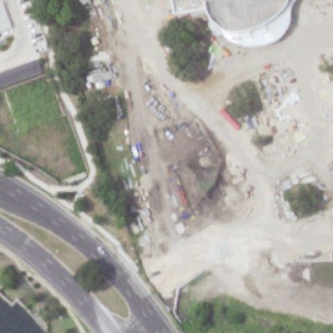
Aerial tile for TA22Uncertain

TA22 Mirasol Hills

DRIPPING SPRINGS, TX

30.3213666670001, -98.1589499999999

Rural hillside terrain at center; possible rough clearing but no distinct helipad markings visible.

55% confidence Verify on the map →
Is there really a pad here?
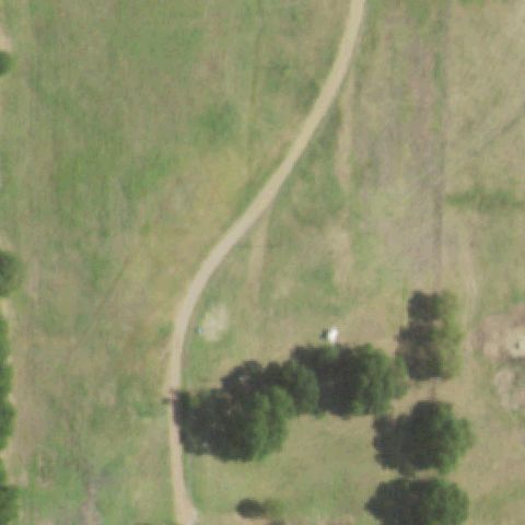
Aerial tile for TE95Uncertain

TE95 Rocky Point

EL PASO, TX

31.8194444440001, -106.50175

Rural desert property with metal building; small circular element near center could be a tank, no helipad markings visible.

60% confidence Verify on the map →
Is there really a pad here?
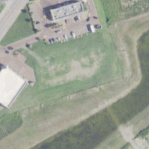
Aerial tile for 07XAUncertain

07XA Fred Luecke

SMITHVILLE, TX

29.9064916670001, -97.214375

Rural farm property with small concrete pad near center; no distinct helipad markings visible.

60% confidence Verify on the map →
Is there really a pad here?
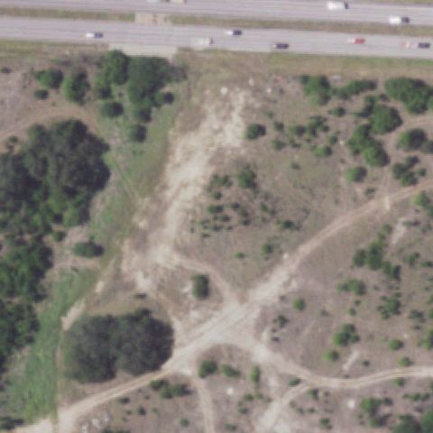
Aerial tile for 97XAUncertain

97XA Helibarn Landing

FORT WORTH, TX

32.699069444, -97.512352778

Rural flat terrain with a small building; no distinct helipad markings visible at image center.

65% confidence Verify on the map →
Is there really a pad here?
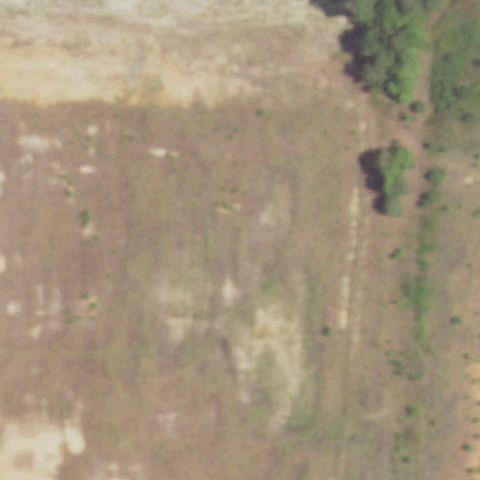
Aerial tile for 34XAUncertain

34XA Dell Childrens North Hospital

AUSTIN, TX

30.485455556, -97.800944444

Hospital building visible in lower portion; image center shows open undeveloped land with no visible helipad.

55% confidence Verify on the map →
Is there really a pad here?
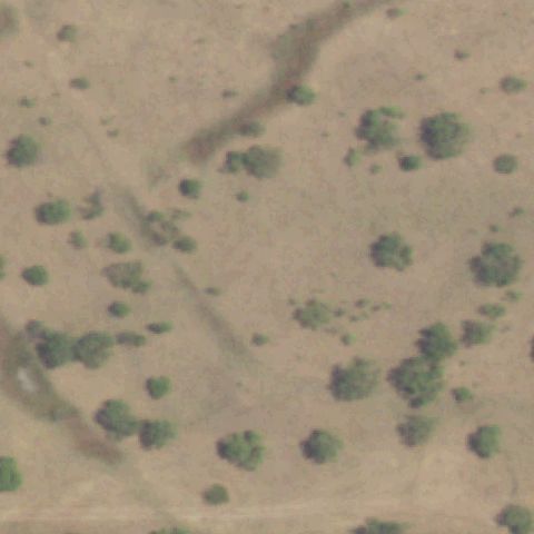
Aerial tile for TX77Uncertain

TX77 Jej Helipad

AUSTIN, TX

30.318636111, -97.790330556

Residential wooded area with small concrete pad visible but no helipad markings at image center.

65% confidence Verify on the map →
Is there really a pad here?
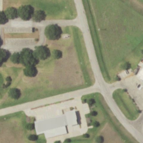
Aerial tile for TT07Uncertain

TT07 Coleman County Medical Center

COLEMAN, TX

31.8288166670001, -99.426908333

Hospital appears under construction; no clear helipad visible at image center.

60% confidence Verify on the map →
Is there really a pad here?
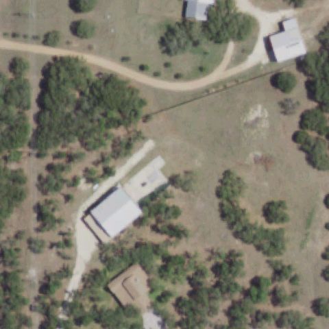
Aerial tile for 56XAUncertain

56XA Texas Health Huguley Hospital

FORT WORTH, TX

32.587622222, -97.318494444

Hospital and construction visible but no clear helipad markings visible at image center.

60% confidence Verify on the map →
Is there really a pad here?

Aerial tile for XA68Uncertain

XA68 Lmh Hospital

SONORA, TX

30.5638777780001, -100.634766667

Small town hospital area visible; no distinct helipad markings visible at image center.

65% confidence Verify on the map →
Is there really a pad here?
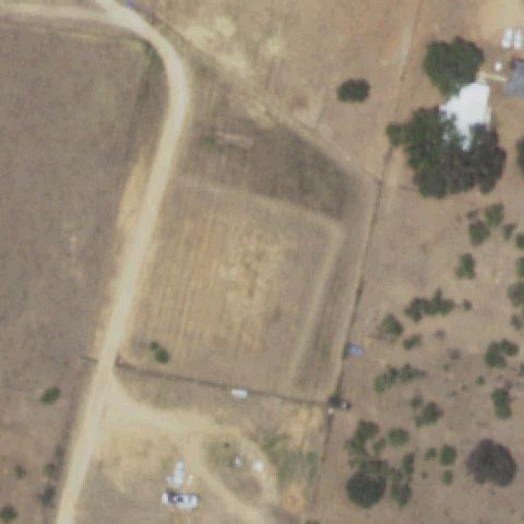
Aerial tile for TA72Uncertain

TA72 Methodist Westover Hills

SAN ANTONIO, TX

29.483088889, -98.705269444

Image shows what appears to be a large light-colored rooftop or cleared surface, but no distinct H or helipad marking is discernible; too indistinct to confirm.

60% confidence Verify on the map →
Is there really a pad here?
Aerial tile for 12TEUncertain

12TE Emory Fire Department

EMORY, TX

32.8847450000001, -95.781461

Fire station complex with paved apron visible but no painted H or helipad circle discernible at the image center; paved area could predate or omit markings.

65% confidence Verify on the map →
Is there really a pad here?
Aerial tile for 1TT8Uncertain

1TT8 Botter Farm

HALLSVILLE, TX

32.419725, -94.518183

Farm property with a cross-shaped cleared dirt area at center that could be a grass/dirt landing area, but no painted markings or prepared surface visible to confirm helipad.

60% confidence Verify on the map →
Is there really a pad here?
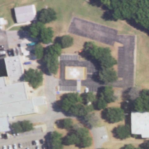
Aerial tile for 4TX1Confirmed

4TX1 Abilene Rgnl Medical Center

ABILENE, TX

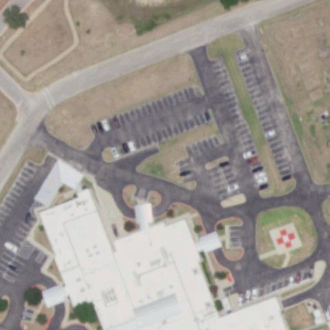
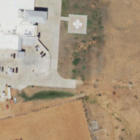
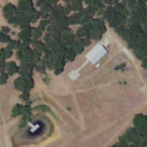
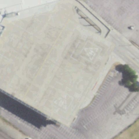
32.3742777780001, -99.743061111

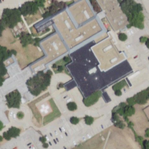
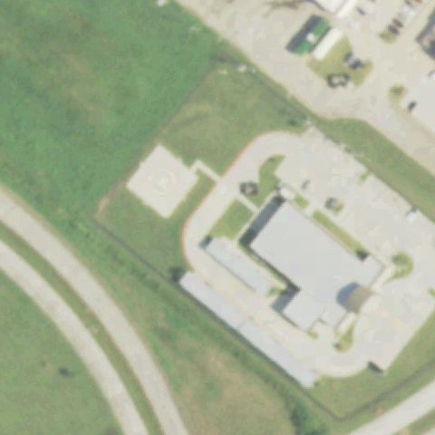
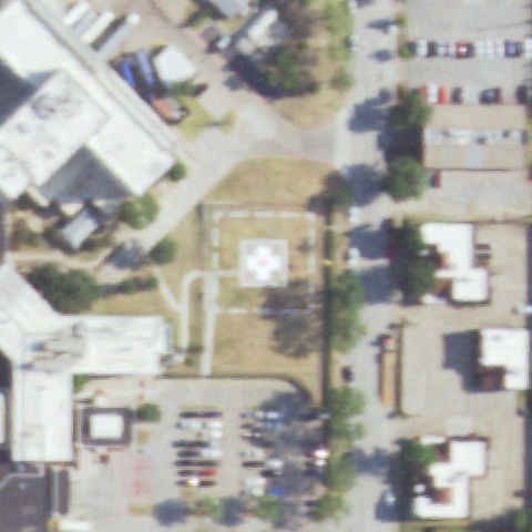
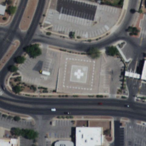
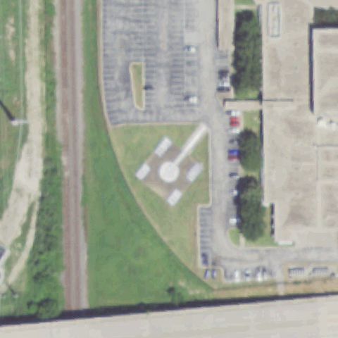
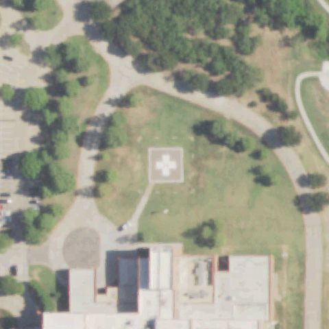
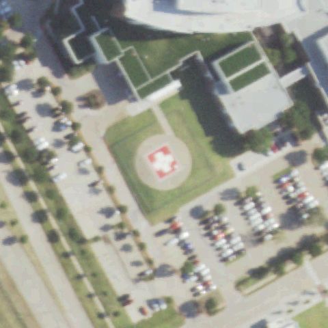
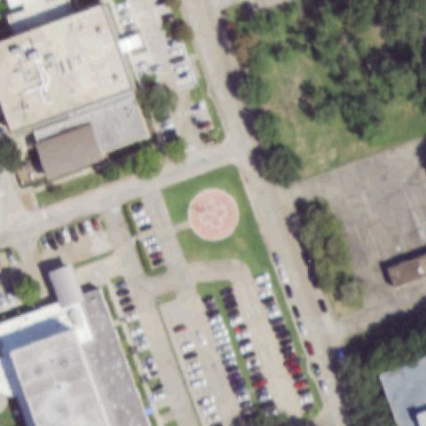
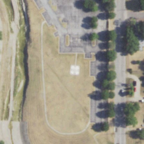
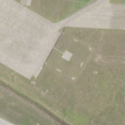
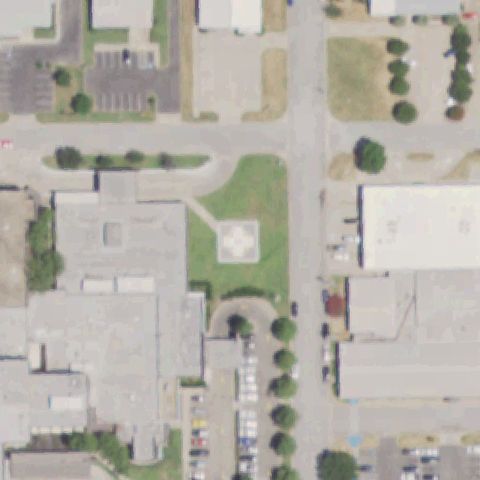
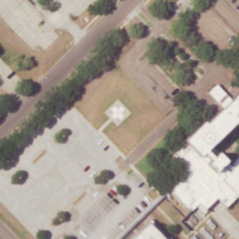
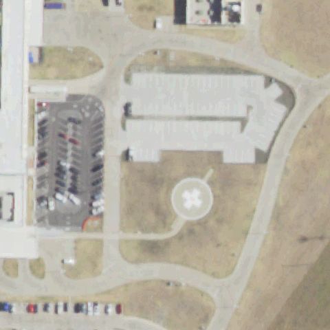
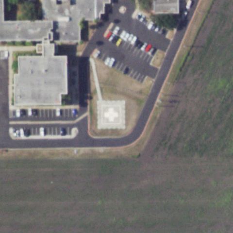
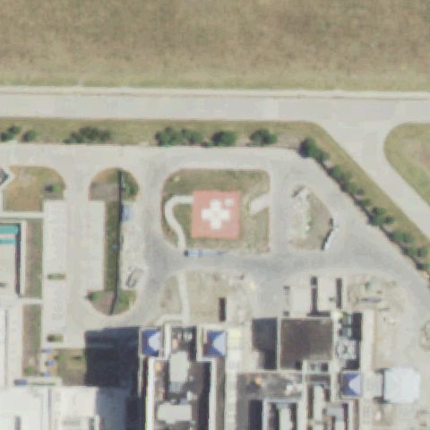
Distinct ground-level helipad with cross/H marking on concrete pad visible near image center.

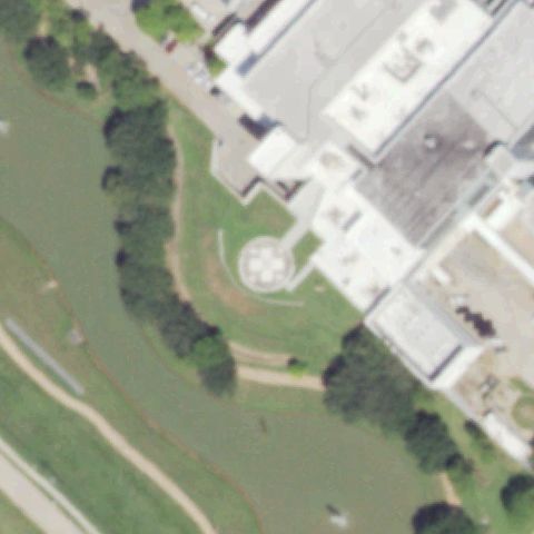
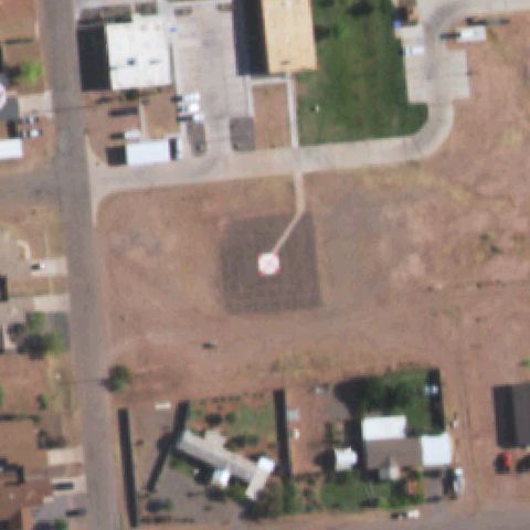
✓ Confirmed by AI vision with Claude Opus 4.8

95% confidence Verify on the map →
Is there really a pad here?
Aerial tile for TA38Confirmed

TA38 Hendrick Medical Center

ABILENE, TX

32.470611111, -99.7343083329999

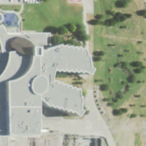
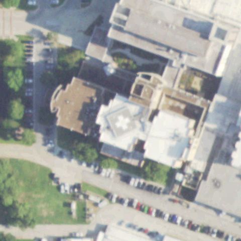
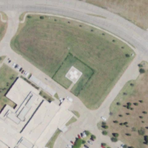
Large hospital rooftop shows circular helipad marking visible near center of the building complex.

✓ Confirmed by AI vision with Claude Opus 4.8

75% confidence Verify on the map →
Is there really a pad here?
Aerial tile for TA74Confirmed

TA74 Ineos Cbw

ALVIN, TX

29.2306833330001, -95.189372222

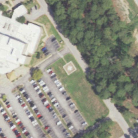
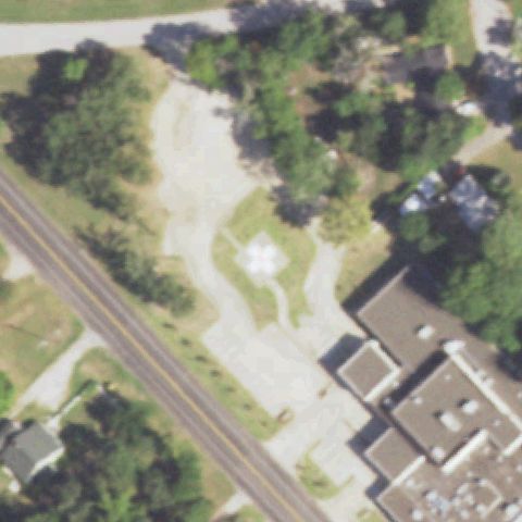
Small concrete square touchdown pad visible just left of center near industrial facility, consistent with a helipad.

✓ Confirmed by AI vision with Claude Opus 4.8

65% confidence Verify on the map →
Is there really a pad here?
Aerial tile for 6TX5Confirmed

6TX5 Baptist St Anthony's Hospital

AMARILLO, TX

35.1951250000001, -101.920175

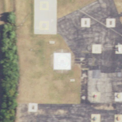
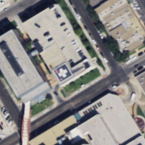
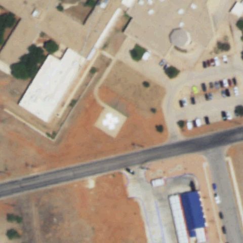
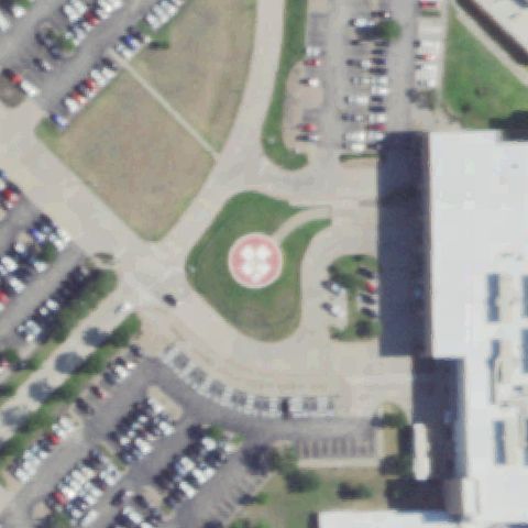
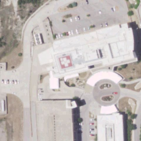
Prominent red cross/H marking on rooftop helipad clearly visible near image center.

✓ Confirmed by AI vision with Claude Opus 4.8

97% confidence Verify on the map →
Is there really a pad here?
Aerial tile for TE80Confirmed

TE80 Medical Center Arlington

ARLINGTON, TX

32.6925000000001, -97.111388889

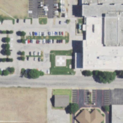
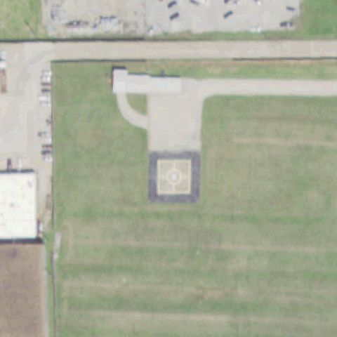
Ground helipad with white cross marking inside dashed border enclosure clearly visible near image center.

✓ Confirmed by AI vision with Claude Opus 4.8

95% confidence Verify on the map →
Is there really a pad here?
Aerial tile for XS54Confirmed

XS54 Sheraton Arlington Hotel

ARLINGTON, TX

32.757777778, -97.081111111

Small rectangular concrete pad with faint center marking visible slightly left of image center near stadium grounds; consistent with a helipad.

✓ Confirmed by AI vision with Claude Opus 4.8

70% confidence Verify on the map →
Is there really a pad here?
Aerial tile for 30XAConfirmed

30XA Emergency Room At Magnolia

AUBREY, TX

33.2206277780001, -96.912933333

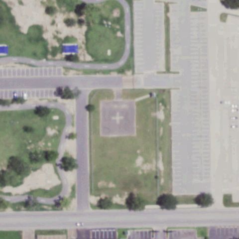
Ground helipad with white cross marking inside dashed square border clearly visible near image center adjacent to medical facility.

✓ Confirmed by AI vision with Claude Opus 4.8

95% confidence Verify on the map →
Is there really a pad here?
Aerial tile for 32TSConfirmed

32TS Seton Medical Center H-4

AUSTIN, TX

30.3045777780001, -97.7465333329999

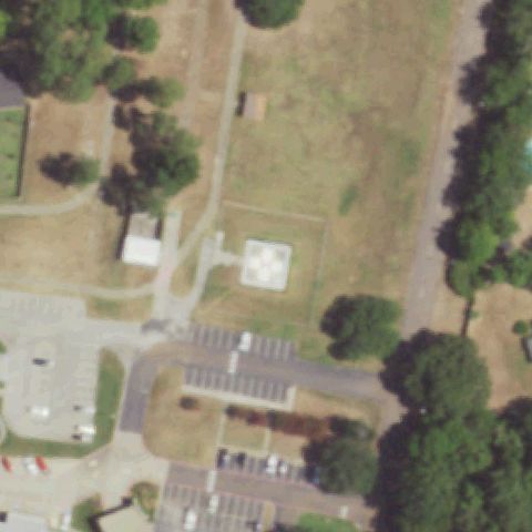
Ground-level helipad with red circle and cross marking visible near center of hospital campus.

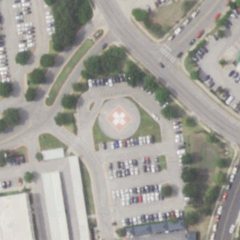
✓ Confirmed by AI vision with Claude Opus 4.8

90% confidence Verify on the map →
Is there really a pad here?
Aerial tile for 1XS5Confirmed

1XS5 St David's North Austin Medical Center

AUSTIN, TX

30.412911111, -97.704905556

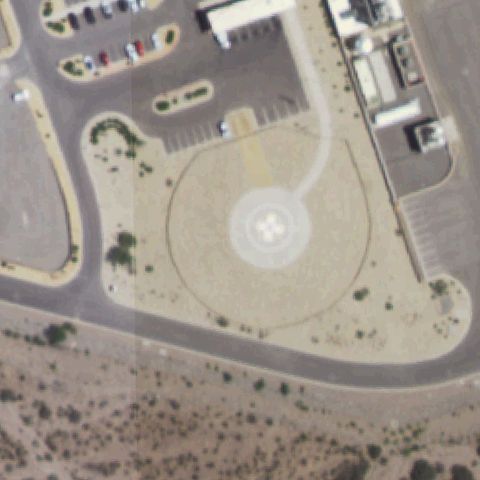
Large circular ground helipad with prominent white cross on red/pink base clearly visible near image center.

✓ Confirmed by AI vision with Claude Opus 4.8

97% confidence Verify on the map →
Is there really a pad here?
Aerial tile for XS41Confirmed

XS41 Heart Hospital of Austin

AUSTIN, TX

30.306027778, -97.7413888889999

Rooftop helipad with red circle and white cross marking clearly visible on hospital building near image center.

✓ Confirmed by AI vision with Claude Opus 4.8

92% confidence Verify on the map →
Is there really a pad here?
Aerial tile for 1TX1Confirmed

1TX1 Dallas Cowboys

ARLINGTON, TX

32.7452777780001, -97.094166667

Large painted touchdown markers including H visible on grass adjacent to Dallas Cowboys stadium; clearly a designated helipad area.

✓ Confirmed by AI vision with Claude Opus 4.8

88% confidence Verify on the map →
Is there really a pad here?
Aerial tile for XA87Confirmed

XA87 Coon Creek Club

ATHENS, TX

32.078411111, -95.850327778

Small square concrete pad with faint markings visible near center of rural property; consistent with a private helipad.

✓ Confirmed by AI vision with Claude Opus 4.8

80% confidence Verify on the map →
Is there really a pad here?
Aerial tile for TE94Confirmed

TE94 Starflight Facility

AUSTIN, TX

30.3214583330001, -97.657663889

Small square helipad with H marking on concrete pad visible near center adjacent to building; labeled as Starflight Facility.

✓ Confirmed by AI vision with Claude Opus 4.8

88% confidence Verify on the map →
Is there really a pad here?
Aerial tile for TX01Confirmed

TX01 Lyj Austin

AUSTIN, TX

30.4229861110001, -97.928330556

Ground helipad with clear green H inside circle marking prominently visible near image center on private property.

✓ Confirmed by AI vision with Claude Opus 4.8

95% confidence Verify on the map →
Is there really a pad here?
Aerial tile for 4TS9Confirmed

4TS9 Ossiport

AUSTIN, TX

30.3232333330001, -97.8671944439999

Bold yellow H inside yellow square border on dark asphalt pad is unmistakably visible near image center.

✓ Confirmed by AI vision with Claude Opus 4.8

98% confidence Verify on the map →
Is there really a pad here?
Aerial tile for 3XA6Confirmed

3XA6 Dell Children's Medical Center

AUSTIN, TX

30.3044030560001, -97.7077252779999

Ground helipad with white cross/H marking visible on concrete pad near center of large hospital campus.

✓ Confirmed by AI vision with Claude Opus 4.8

88% confidence Verify on the map →
Is there really a pad here?
Aerial tile for TX26Confirmed

TX26 Mabry ARNG

AUSTIN, TX

30.3144472220001, -97.7594861109999

Small square concrete pad visible near center on military/ARNG grounds; consistent with a utility helipad.

✓ Confirmed by AI vision with Claude Opus 4.8

78% confidence Verify on the map →
Is there really a pad here?
Aerial tile for 3XA2Confirmed

3XA2 Matagorda Rgnl Medical Center

BAY CITY, TX

28.9798888890001, -95.992330556

Ground helipad with white cross/H marking inside square border visible near image center adjacent to medical center.

✓ Confirmed by AI vision with Claude Opus 4.8

92% confidence Verify on the map →
Is there really a pad here?
Aerial tile for TS09Confirmed

TS09 Baptist Hospital of Se Texas

BEAUMONT, TX

30.0700833330001, -94.1187944439999

Small ground helipad with white cross marking visible near image center on hospital grounds.

✓ Confirmed by AI vision with Claude Opus 4.8

85% confidence Verify on the map →
Is there really a pad here?
Aerial tile for TX30Confirmed

TX30 H E B Hospital

BEDFORD, TX

32.8340027780001, -97.122616667

Ground helipad with circular cross marking visible on grass near hospital building, visible near image center.

✓ Confirmed by AI vision with Claude Opus 4.8

85% confidence Verify on the map →
Is there really a pad here?
Aerial tile for 2XS0Confirmed

2XS0 Columbia Valley Rgnl

BROWNSVILLE, TX

25.977836111, -97.515988889

Square concrete pad visible near center left of image adjacent to hospital complex; consistent with helipad.

✓ Confirmed by AI vision with Claude Opus 4.8

75% confidence Verify on the map →
Is there really a pad here?
Aerial tile for XS19Confirmed

XS19 Cedar Park Rgnl Medical Center

CEDAR PARK, TX

30.5326250000001, -97.8134416669999

Ground helipad with large white cross marking on concrete pad clearly visible near image center adjacent to medical center.

✓ Confirmed by AI vision with Claude Opus 4.8

93% confidence Verify on the map →
Is there really a pad here?
Aerial tile for TA14Confirmed

TA14 Lyb

CHANNELVIEW, TX

29.8357222220001, -95.108888889

Circular helipad marking visible on concrete pad near center of industrial facility grounds.

✓ Confirmed by AI vision with Claude Opus 4.8

82% confidence Verify on the map →
Is there really a pad here?
Aerial tile for 21TSConfirmed

21TS San Jacinto Methodist Hospital - Alexander

BAYTOWN, TX

29.7474, -94.9470138889999

Ground helipad with white cross/H marking visible near image center on hospital campus.

✓ Confirmed by AI vision with Claude Opus 4.8

88% confidence Verify on the map →
Is there really a pad here?
Aerial tile for 82TXConfirmed

82TX St Joseph Hospital

BRYAN, TX

30.6569361110001, -96.346861111

Ground helipad with cross/H marking inside square border visible near image center adjacent to hospital.

✓ Confirmed by AI vision with Claude Opus 4.8

85% confidence Verify on the map →
Is there really a pad here?
Aerial tile for 33TSConfirmed

33TS Burleson County Hospital

CALDWELL, TX

30.5210555560001, -96.7165555559999

Ground helipad with cross marking visible near center of hospital campus driveway loop.

✓ Confirmed by AI vision with Claude Opus 4.8

82% confidence Verify on the map →
Is there really a pad here?
Aerial tile for 4XS4Confirmed

4XS4 Carrollton Rgnl Medical Center

CARROLLTON, TX

33.02865, -96.8869999999999

Ground helipad with white cross/circle marking visible near image center adjacent to medical center.

✓ Confirmed by AI vision with Claude Opus 4.8

88% confidence Verify on the map →
Is there really a pad here?
Aerial tile for TA91Confirmed

TA91 Childress Rgnl Medical Center

CHILDRESS, TX

34.4391444440001, -100.228752778

Small building with attached concrete pad showing cross/H marking visible near image center; consistent with hospital helipad.

✓ Confirmed by AI vision with Claude Opus 4.8

82% confidence Verify on the map →
Is there really a pad here?
Aerial tile for 55TAConfirmed

55TA Hca Houston Healthcare Conroe

CONROE, TX

30.285264167, -95.467620139

Rooftop helipad with square border and cross/H marking visible on large hospital roof near image center.

✓ Confirmed by AI vision with Claude Opus 4.8

88% confidence Verify on the map →
Is there really a pad here?
Aerial tile for XS97Confirmed

XS97 Methodist Charlton Medical Center

DALLAS, TX

32.6462500000001, -96.878222222

Small square concrete pad visible near image center adjacent to hospital complex; consistent with a helipad.

✓ Confirmed by AI vision with Claude Opus 4.8

78% confidence Verify on the map →
Is there really a pad here?
Aerial tile for TX53Confirmed

TX53 Police H Port-Redbird

DALLAS, TX

32.677539, -96.869062

Concrete square pad with helicopter parked on it clearly visible at center of image.

✓ Confirmed by AI vision with Claude Opus 4.8

92% confidence Verify on the map →
Is there really a pad here?
Aerial tile for TA15Confirmed

TA15 Columbus Community Hospital

COLUMBUS, TX

29.695236111, -96.543819444

Square concrete ground pad with white cross/H clearly visible at center of image.

✓ Confirmed by AI vision with Claude Opus 4.8

90% confidence Verify on the map →
Is there really a pad here?
Aerial tile for TX10Confirmed

TX10 Halo-Flight Inc

CORPUS CHRISTI, TX

27.7183833330001, -97.5523916669999

Clear white H marking on concrete pad adjacent to hangar building, visible at center.

✓ Confirmed by AI vision with Claude Opus 4.8

95% confidence Verify on the map →
Is there really a pad here?
Aerial tile for 0TE1Confirmed

0TE1 Christus Spohn Hospital Meml

CORPUS CHRISTI, TX

27.7800583330001, -97.414802778

Ground-level square landing pad with dark surround markings visible at center of parking area.

✓ Confirmed by AI vision with Claude Opus 4.8

75% confidence Verify on the map →
Is there really a pad here?
Aerial tile for 1XA3Confirmed

1XA3 Christus Spohn South

CORPUS CHRISTI, TX

27.6851361110001, -97.37745

Square ground-level pad with clear cross/H marking visible near center of image.

✓ Confirmed by AI vision with Claude Opus 4.8

92% confidence Verify on the map →
Is there really a pad here?
Aerial tile for 5TS0Confirmed

5TS0 Shoreline Hospital

CORPUS CHRISTI, TX

27.777833333, -97.394375

Rooftop helipad with large clear cross/H marking prominently visible at center of image.

✓ Confirmed by AI vision with Claude Opus 4.8

95% confidence Verify on the map →
Is there really a pad here?
Aerial tile for 2TE9Confirmed

2TE9 Cuero Community Hospital

CUERO, TX

29.1129194440001, -97.2843444439999

Square concrete ground pad with white cross markings clearly visible at center of image.

✓ Confirmed by AI vision with Claude Opus 4.8

90% confidence Verify on the map →
Is there really a pad here?
Aerial tile for 2XA3Confirmed

2XA3 North Cypress Medical Center

CYPRESS, TX

29.9275500000001, -95.632833333

Square ground-level pad with cross/H markings visible near center, adjacent to parking area.

✓ Confirmed by AI vision with Claude Opus 4.8

88% confidence Verify on the map →
Is there really a pad here?
Aerial tile for TS06Confirmed

TS06 Medical City Dallas Hospital

DALLAS, TX

32.911873611, -96.775306528

Square concrete ground-level pad visible at center of image near hospital complex.

✓ Confirmed by AI vision with Claude Opus 4.8

82% confidence Verify on the map →
Is there really a pad here?
Aerial tile for 37TAConfirmed

37TA Texas Health Presbyterian Hospital Dallas

DALLAS, TX

32.880419444, -96.761094444

Rooftop parking structure with clear cross/H pad marking clearly visible near center.

✓ Confirmed by AI vision with Claude Opus 4.8

92% confidence Verify on the map →
Is there really a pad here?
Aerial tile for XA62Confirmed

XA62 Methodist Dallas Medical Center

DALLAS, TX

32.7604805560001, -96.8244

Two rooftop pads with clear cross/H markings visible at center of image.

✓ Confirmed by AI vision with Claude Opus 4.8

95% confidence Verify on the map →
Is there really a pad here?
Aerial tile for 16XAConfirmed

16XA Texoma Medical Center

DENISON, TX

33.709594306, -96.5838034719999

Two ground-level pads with clear cross/H markings visible at center; main pad directly at center.

✓ Confirmed by AI vision with Claude Opus 4.8

93% confidence Verify on the map →
Is there really a pad here?
Aerial tile for TS58Confirmed

TS58 Medical City Denton

DENTON, TX

33.1780035560001, -97.0927030559999

Ground-level square pad with clear cross/H marking visible at center of image.

✓ Confirmed by AI vision with Claude Opus 4.8

90% confidence Verify on the map →
Is there really a pad here?
Aerial tile for TA39Confirmed

TA39 Rice Medical Center

EAGLE LAKE, TX

29.5869058330001, -96.345521667

Square concrete ground pad with clear white cross/H marking visible at center.

✓ Confirmed by AI vision with Claude Opus 4.8

92% confidence Verify on the map →
Is there really a pad here?
Aerial tile for 0XA2Confirmed

0XA2 Fort Duncan Medical Center

EAGLE PASS, TX

28.713888889, -100.454722222

Ground-level concrete pad with cross/H marking clearly visible at center of image.

✓ Confirmed by AI vision with Claude Opus 4.8

92% confidence Verify on the map →
Is there really a pad here?
Aerial tile for 70TXConfirmed

70TX Us Border Patrol Eagle Pass

EAGLE PASS, TX

28.670666667, -100.459861111

Concrete pad with visible circle marking at center of image in open dirt compound.

✓ Confirmed by AI vision with Claude Opus 4.8

88% confidence Verify on the map →
Is there really a pad here?
Aerial tile for 56TEConfirmed

56TE Air Evac Ems 57 Base

EAGLE PASS, TX

28.7135555560001, -100.453861111

Distinct concrete square pad with taxiway/approach path visible at center of image.

✓ Confirmed by AI vision with Claude Opus 4.8

80% confidence Verify on the map →
Is there really a pad here?
Aerial tile for 27TEConfirmed

27TE Sierra Providence Hospital

EL PASO, TX

31.791116667, -106.263583333

Ground-level concrete pad with clear cross/H marking visible at center of image.

✓ Confirmed by AI vision with Claude Opus 4.8

93% confidence Verify on the map →
Is there really a pad here?
Aerial tile for TX44Confirmed

TX44 Sierra Medical Center

EL PASO, TX

31.7773388890001, -106.481055556

Rooftop helipad with large clear H marking prominently visible at center of image.

✓ Confirmed by AI vision with Claude Opus 4.8

95% confidence Verify on the map →
Is there really a pad here?
Aerial tile for 12TConfirmed

12T Ferris Red Oak Muni

FERRIS/RED OAK, TX

32.5298611110001, -96.7311611109999

Small concrete pad in agricultural field with faint circle/pad marking visible at center.

✓ Confirmed by AI vision with Claude Opus 4.8

78% confidence Verify on the map →
Is there really a pad here?
Aerial tile for 51TAConfirmed

51TA Harris Methodist Southwest Helistop

FORT WORTH, TX

32.6569277780001, -97.421683333

Ground-level concrete pad with clear cross/H marking prominently visible at center.

✓ Confirmed by AI vision with Claude Opus 4.8

92% confidence Verify on the map →
Is there really a pad here?
Aerial tile for 1XS3Confirmed

1XS3 John Peter Smith Health Network

FORT WORTH, TX

32.7275000000001, -97.326111111

Large hospital rooftop complex with clear cross/H marking visible at center of image.

✓ Confirmed by AI vision with Claude Opus 4.8

90% confidence Verify on the map →
Is there really a pad here?
Aerial tile for XA36Confirmed

XA36 Cook Children's Medical Center

FORT WORTH, TX

32.7381500000001, -97.341547222

Two rooftop pads with clear cross/H markings on red background prominently visible at center.

✓ Confirmed by AI vision with Claude Opus 4.8

97% confidence Verify on the map →
Is there really a pad here?
Aerial tile for XA37Confirmed

XA37 Plaza Medical Center

FORT WORTH, TX

32.7347500000001, -97.3441999999999

Ground-level square pad with clear cross/H marking visible at center of image.

✓ Confirmed by AI vision with Claude Opus 4.8

93% confidence Verify on the map →
Is there really a pad here?
Aerial tile for 9TS7Confirmed

9TS7 U of Texas Medical Branch Ewing Hall

GALVESTON, TX

29.3132000000001, -94.7783527779999

Rooftop helipad with clear circle and cross/H marking prominently visible at center.

✓ Confirmed by AI vision with Claude Opus 4.8

95% confidence Verify on the map →
Is there really a pad here?
Aerial tile for TA41Confirmed

TA41 University Medical Center

EL PASO, TX

31.771641667, -106.435447222

Large rooftop helipad with prominent cross/H marking clearly visible at center.

✓ Confirmed by AI vision with Claude Opus 4.8

97% confidence Verify on the map →
Is there really a pad here?
Aerial tile for 03XAConfirmed

03XA Del Sol Medical Center

EL PASO, TX

31.757416667, -106.346972222

Large ground-level pad with dashed perimeter markings and clear cross/H marking prominently visible at center.

✓ Confirmed by AI vision with Claude Opus 4.8

97% confidence Verify on the map →
Is there really a pad here?
Aerial tile for 6TA1Confirmed

6TA1 Sky Ranch

EUSTACE, TX

32.3566222220001, -95.872808333

A distinct T-shaped concrete pad is visible at the center of the grass field, consistent with a private ranch helipad.

✓ Confirmed by AI vision with Claude Opus 4.8

72% confidence Verify on the map →
Is there really a pad here?
Aerial tile for 0XA1Confirmed

0XA1 Kothmann Ranch

FORT MCKAVETT, TX

30.6788888890001, -100.130277778

A small white diamond/square marker is visible near the center of an open dirt field, consistent with a private ranch helipad.

✓ Confirmed by AI vision with Claude Opus 4.8

78% confidence Verify on the map →
Is there really a pad here?
Aerial tile for XA18Confirmed

XA18 Baylor Scott & White All Saints Med Ctr - Ft Worth

FORT WORTH, TX

32.731086111, -97.3462111109999

Clear rooftop helipad with white H inside a circle on a hospital building at image center.

✓ Confirmed by AI vision with Claude Opus 4.8

96% confidence Verify on the map →
Is there really a pad here?
Aerial tile for T57Confirmed

T57 Garland/Dfw Heloplex

GARLAND, TX

32.886916667, -96.685016667

Multiple clear H/circle helipad markings on a dedicated ground-level helipad complex with taxi lines.

✓ Confirmed by AI vision with Claude Opus 4.8

97% confidence Verify on the map →
Is there really a pad here?
Aerial tile for 0TX2Confirmed

0TX2 Heliport-Facility 5a

GRAND PRAIRIE, TX

32.7760527780001, -97.060941667

A hexagonal/circle pad outline is visible on a grass area adjacent to a highway at the image center.

✓ Confirmed by AI vision with Claude Opus 4.8

72% confidence Verify on the map →
Is there really a pad here?
Aerial tile for 56TAConfirmed

56TA Dallas/Fort Worth Medical Center

GRAND PRAIRIE, TX

32.732916667, -97.050427778

Clear rooftop helipad with white H/cross marking on a hospital building at image center.

✓ Confirmed by AI vision with Claude Opus 4.8

88% confidence Verify on the map →
Is there really a pad here?
Aerial tile for XA01Confirmed

XA01 Cozby-Germany Hospital

GRAND SALINE, TX

32.6800111110001, -95.723269444

White H/cross marker on a small concrete pad in a grass field near hospital buildings at image center.

✓ Confirmed by AI vision with Claude Opus 4.8

78% confidence Verify on the map →
Is there really a pad here?
Aerial tile for 78TXConfirmed

78TX Baylor Scott & White Med Ctr - Grapevine

GRAPEVINE, TX

32.934122222, -97.0953499999999

Clear rooftop helipad with white H inside circle marking on hospital building at image center.

✓ Confirmed by AI vision with Claude Opus 4.8

92% confidence Verify on the map →
Is there really a pad here?
Aerial tile for 48TAConfirmed

48TA Hamlin Meml Hospital

HAMLIN, TX

32.885662778, -100.135379722

Small white H/cross marker on a concrete pad visible near the center of this small-town hospital complex.

✓ Confirmed by AI vision with Claude Opus 4.8

78% confidence Verify on the map →
Is there really a pad here?
Aerial tile for TS68Confirmed

TS68 Valley Baptist Medical Center (VbMc)

HARLINGEN, TX

26.175083333, -97.669583333

Clear rooftop helipad with large white H inside circle on hospital building at image center.

✓ Confirmed by AI vision with Claude Opus 4.8

93% confidence Verify on the map →
Is there really a pad here?
Aerial tile for 49TXConfirmed

49TX Valley Baptist Medical Center

HARLINGEN, TX

26.1750777780001, -97.6695861109999

Same Valley Baptist Medical Center campus showing clear rooftop helipad with H/circle marking.

✓ Confirmed by AI vision with Claude Opus 4.8

93% confidence Verify on the map →
Is there really a pad here?
Aerial tile for 22TSConfirmed

22TS Gray Steel

HOUSTON, TX

29.790983333, -95.438786111

A small white square marker is visible on a large flat industrial rooftop at image center.

✓ Confirmed by AI vision with Claude Opus 4.8

65% confidence Verify on the map →
Is there really a pad here?
Aerial tile for 24TEConfirmed

24TE Police Helicopter Patrol

HOUSTON, TX

29.6491500000001, -95.2707972219999

Multiple clear circle helipad markings on paved areas of a police/aviation facility at image center.

✓ Confirmed by AI vision with Claude Opus 4.8

95% confidence Verify on the map →
Is there really a pad here?
Aerial tile for 29TSConfirmed

29TS West Houston Medical Center

HOUSTON, TX

29.7285555560001, -95.594494444

Clear white H/cross marking on a rooftop helipad on a hospital building at image center.

✓ Confirmed by AI vision with Claude Opus 4.8

88% confidence Verify on the map →
Is there really a pad here?
Aerial tile for 20XAConfirmed

20XA St Luke's Hospital At The Vintage

HOUSTON, TX

29.990069444, -95.5680694439999

Clear H/cross marking on a concrete ground pad area near hospital buildings at image center.

✓ Confirmed by AI vision with Claude Opus 4.8

88% confidence Verify on the map →
Is there really a pad here?
Aerial tile for XA67Confirmed

XA67 St Joseph Medical Center

HOUSTON, TX

29.747783333, -95.3676

Multiple very clear rooftop helipads with H and circle markings on a hospital tower at image center.

✓ Confirmed by AI vision with Claude Opus 4.8

97% confidence Verify on the map →
Is there really a pad here?
Aerial tile for 38TEConfirmed

38TE John S Dunn

HOUSTON, TX

29.713333333, -95.394722222

Clear H marking on a rooftop helipad visible at the image center on a hospital-type building.

✓ Confirmed by AI vision with Claude Opus 4.8

90% confidence Verify on the map →
Is there really a pad here?
Aerial tile for 04TEConfirmed

04TE Veterans Affairs Medical Center

HOUSTON, TX

29.6997138890001, -95.3906777779999

Clear H inside circle marking on a ground-level concrete helipad at image center of the VA medical complex.

✓ Confirmed by AI vision with Claude Opus 4.8

88% confidence Verify on the map →
Is there really a pad here?
Aerial tile for XA56Confirmed

XA56 Hunt Rgnl Medical Center

GREENVILLE, TX

33.1222888890001, -96.1251

A circle pad outline is visible on a grass/concrete area at the center of the hospital campus.

✓ Confirmed by AI vision with Claude Opus 4.8

82% confidence Verify on the map →
Is there really a pad here?
Aerial tile for TS72Confirmed

TS72 Ut Health East Texas Cedar Creek Lake

GUN BARREL CITY, TX

32.332035972, -96.115833333

Clear H marking on a small concrete pad area visible near the hospital building at image center.

✓ Confirmed by AI vision with Claude Opus 4.8

85% confidence Verify on the map →
Is there really a pad here?
Aerial tile for 21TAConfirmed

21TA Cypress Fairbanks Medical Center

HOUSTON, TX

29.928038889, -95.5889472219999

Clear H marking on a ground concrete pad visible near the hospital building at image center.

✓ Confirmed by AI vision with Claude Opus 4.8

88% confidence Verify on the map →
Is there really a pad here?
Aerial tile for 0TA5Confirmed

0TA5 Metro Heli-Pad

HOUSTON, TX

29.614676667, -95.354938056

A small concrete pad area with a faint marker is visible at image center near industrial buildings.

✓ Confirmed by AI vision with Claude Opus 4.8

75% confidence Verify on the map →
Is there really a pad here?
Aerial tile for TX86Confirmed

TX86 Methodist Hospital Alkek

HOUSTON, TX

29.7105075000001, -95.398828056

Dense hospital rooftop complex at center with a faint circle and H marking visible on one of the roof sections.

✓ Confirmed by AI vision with Claude Opus 4.8

70% confidence Verify on the map →
Is there really a pad here?
Aerial tile for XA76Confirmed

XA76 Kriv Fox 26 Television

HOUSTON, TX

29.727963889, -95.4473944439999

Clear ground-level circular concrete pad with prominent cross/H markings centered in the image next to a highway.

✓ Confirmed by AI vision with Claude Opus 4.8

90% confidence Verify on the map →
Is there really a pad here?
Aerial tile for 6XS1Confirmed

6XS1 Northeast Medical Center Hospital

HUMBLE, TX

29.9946416670001, -95.276888889

Rooftop or elevated pad with a clear H/cross marking is centered in the image adjacent to the hospital building.

✓ Confirmed by AI vision with Claude Opus 4.8

92% confidence Verify on the map →
Is there really a pad here?
Aerial tile for TE03Confirmed

TE03 Huntsville Meml Hospital

HUNTSVILLE, TX

30.6982194440001, -95.5579611109999

Concrete ground pad with a clear white H marking visible slightly left of center near the hospital.

✓ Confirmed by AI vision with Claude Opus 4.8

88% confidence Verify on the map →
Is there really a pad here?
Aerial tile for 0TE2Confirmed

0TE2 Bell Helicopter Hurst

HURST, TX

32.806425, -97.164063889

Bell Helicopter facility with multiple numbered concrete touchdown pads clearly visible throughout the image center.

✓ Confirmed by AI vision with Claude Opus 4.8

95% confidence Verify on the map →
Is there really a pad here?
Aerial tile for XA21Confirmed

XA21 Las Colinas Medical Center

IRVING, TX

32.9027944440001, -96.9568305559999

Clear concrete ground pad with H/cross marking centered in the image adjacent to the medical center.

✓ Confirmed by AI vision with Claude Opus 4.8

90% confidence Verify on the map →
Is there really a pad here?
Aerial tile for 4XA7Confirmed

4XA7 Baylor Health Center At Irving Coppell

IRVING, TX

32.912966667, -96.952469444

Circular concrete pad with cross/H marking visible at image center on open ground next to the medical facility.

✓ Confirmed by AI vision with Claude Opus 4.8

88% confidence Verify on the map →
Is there really a pad here?
Aerial tile for 19XAConfirmed

19XA Baylor Scott & White Med Ctr - Irving

IRVING, TX

32.834416667, -96.9619499999999

Clear rooftop pad with H/cross marking visible at center on the hospital building roof.

✓ Confirmed by AI vision with Claude Opus 4.8

88% confidence Verify on the map →
Is there really a pad here?
Aerial tile for 98XSConfirmed

98XS Lz Phantom

JONESTOWN, TX

30.4559611110001, -97.934330556

Small concrete pad with a clear painted H marking visible at center in a wooded residential area.

✓ Confirmed by AI vision with Claude Opus 4.8

92% confidence Verify on the map →
Is there really a pad here?
Aerial tile for XS32Confirmed

XS32 Nucor Ems

JEWETT, TX

31.3451388890001, -96.165494444

Concrete pad with cross/H marking visible at center on open ground.

✓ Confirmed by AI vision with Claude Opus 4.8

85% confidence Verify on the map →
Is there really a pad here?
Aerial tile for 70TSConfirmed

70TS Meml Hermann Katy Hospital

KATY, TX

29.7866861110001, -95.784075

Circular concrete pad clearly visible at image center in open green area next to the hospital.

✓ Confirmed by AI vision with Claude Opus 4.8

88% confidence Verify on the map →
Is there really a pad here?
Aerial tile for 41TEConfirmed

41TE VaMc

KERRVILLE, TX

30.0182888890001, -99.1143222219999

Clear concrete pad with H/cross marking at image center on open ground next to the VA medical center.

✓ Confirmed by AI vision with Claude Opus 4.8

90% confidence Verify on the map →
Is there really a pad here?
Aerial tile for 96TAConfirmed

96TA Roy H Laird Meml Hospital

KILGORE, TX

32.373341667, -94.867361111

Circular concrete pad with H/cross marking visible at center adjacent to the hospital building.

✓ Confirmed by AI vision with Claude Opus 4.8

88% confidence Verify on the map →
Is there really a pad here?
Aerial tile for 92TSConfirmed

92TS Aventhealth Central Texas

KILLEEN, TX

31.113313889, -97.802658333

Clear concrete ground pad with H/cross marking at image center next to the medical center.

✓ Confirmed by AI vision with Claude Opus 4.8

90% confidence Verify on the map →
Is there really a pad here?
Aerial tile for XA22Confirmed

XA22 Laredo Medical Center

LAREDO, TX

27.5339500000001, -99.477847222

Clear concrete ground pad with H/cross marking visible at center adjacent to the Laredo Medical Center.

✓ Confirmed by AI vision with Claude Opus 4.8

88% confidence Verify on the map →
Is there really a pad here?
Aerial tile for T95Confirmed

T95 Bay Electric Supply

LEAGUE CITY, TX

29.488287778, -95.107430278

Circular concrete pad with cross marking at image center in open green area; unusual for an electric supply company but pad is clearly visible.

✓ Confirmed by AI vision with Claude Opus 4.8

82% confidence Verify on the map →
Is there really a pad here?
Aerial tile for 74TSConfirmed

74TS St Mary of The Plains Hospital

LUBBOCK, TX

33.5737916670001, -101.898997222

Hospital rooftop at center with faint H/cross markings visible; imagery is somewhat blurry but markings are discernible.

✓ Confirmed by AI vision with Claude Opus 4.8

72% confidence Verify on the map →
Is there really a pad here?
Aerial tile for TS66Confirmed

TS66 Lubbock Covenant Medical Center

LUBBOCK, TX

33.5768694440001, -101.890230556

Clear concrete ground pad with H/cross marking visible at image center next to the Lubbock Covenant Medical Center.

✓ Confirmed by AI vision with Claude Opus 4.8

88% confidence Verify on the map →
Is there really a pad here?
Aerial tile for TA79Confirmed

TA79 University Medical Center

LUBBOCK, TX

33.588730556, -101.893877778

Clear concrete pad with H marking visible at center adjacent to the University Medical Center campus.

✓ Confirmed by AI vision with Claude Opus 4.8

88% confidence Verify on the map →
Is there really a pad here?
Aerial tile for XA25Confirmed

XA25 Lubbock Heart Hospital

LUBBOCK, TX

33.603855556, -101.916394444

Clear concrete pad with prominent cross/H marking at image center in open ground area next to the heart hospital.

✓ Confirmed by AI vision with Claude Opus 4.8

90% confidence Verify on the map →
Is there really a pad here?
Aerial tile for 6XA7Confirmed

6XA7 Baylor Scott & White Med Ctr - McKinney

MCKINNEY, TX

33.220344444, -96.6834777779999

Clear circular ground pad with H/cross marking at center in open green area adjacent to the Baylor Scott & White McKinney facility.

✓ Confirmed by AI vision with Claude Opus 4.8

90% confidence Verify on the map →
Is there really a pad here?
Aerial tile for 39XSConfirmed

39XS Kimble Hospital

JUNCTION, TX

30.4983333330001, -99.781111111

Clear concrete pad with H/cross marking visible at image center adjacent to the Kimble Hospital building.

✓ Confirmed by AI vision with Claude Opus 4.8

88% confidence Verify on the map →
Is there really a pad here?
Aerial tile for 62TEConfirmed

62TE Otto Kaiser Hospital

KENEDY, TX

28.8490333330001, -97.87765

Clear concrete pad with H/cross marking at image center near the hospital building.

✓ Confirmed by AI vision with Claude Opus 4.8

88% confidence Verify on the map →
Is there really a pad here?
Aerial tile for 20TXConfirmed

20TX Peterson Rgnl Medical Center

KERRVILLE, TX

30.0436111110001, -99.151111111

Clear concrete pad with H/cross marking at image center on open ground next to the Peterson Regional Medical Center.

✓ Confirmed by AI vision with Claude Opus 4.8

90% confidence Verify on the map →
Is there really a pad here?
Aerial tile for 0TA0Confirmed

0TA0 Hca Houston Healthcare Mainland

LAMARQUE/TEXAS CITY, TX

29.3950083330001, -94.986341667

Circular concrete pad visible at image center in open area adjacent to the HCA Houston Healthcare Mainland facility.

✓ Confirmed by AI vision with Claude Opus 4.8

88% confidence Verify on the map →
Is there really a pad here?
Aerial tile for XA59Confirmed

XA59 Medical City Lewisville

LEWISVILLE, TX

33.0440888890001, -97.0053

Clear concrete pad with prominent H marking at image center next to the Medical City Lewisville hospital.

✓ Confirmed by AI vision with Claude Opus 4.8

90% confidence Verify on the map →
Is there really a pad here?
Aerial tile for 3XS6Confirmed

3XS6 Christus Good Shepherd Medical Center

LONGVIEW, TX

32.5001638890001, -94.731047222

Clear ground pad with H/cross marking visible at image center adjacent to the Christus Good Shepherd Medical Center.

✓ Confirmed by AI vision with Claude Opus 4.8

90% confidence Verify on the map →
Is there really a pad here?
Aerial tile for XA14Confirmed

XA14 Lmh

LUFKIN, TX

31.336416667, -94.743916667

Ground pad with H marking visible at center in open area adjacent to the hospital complex.

✓ Confirmed by AI vision with Claude Opus 4.8

85% confidence Verify on the map →
Is there really a pad here?
Aerial tile for 29XAConfirmed

29XA Seton Edgar B Davis Hospital

LULING, TX

29.6732388890001, -97.6538

Clear concrete pad with H marking visible at image center adjacent to the Seton Edgar B Davis Hospital.

✓ Confirmed by AI vision with Claude Opus 4.8

88% confidence Verify on the map →
Is there really a pad here?
Aerial tile for 0XA9Confirmed

0XA9 Methodist Mansfield Medical Center

MANSFIELD, TX

32.5672250000001, -97.0955888889999

Clear circular pad with H/cross marking at image center adjacent to the Methodist Mansfield Medical Center.

✓ Confirmed by AI vision with Claude Opus 4.8

90% confidence Verify on the map →
Is there really a pad here?
Aerial tile for 2TA2Confirmed

2TA2 The Medical Center of Mesquite

MESQUITE, TX

32.779222222, -96.601122222

Clear concrete pad with H/cross marking visible at image center adjacent to the Medical Center of Mesquite.

✓ Confirmed by AI vision with Claude Opus 4.8

90% confidence Verify on the map →
Is there really a pad here?
Aerial tile for 88TSConfirmed

88TS Fort Wolters Helicopters

MINERAL WELLS, TX

32.8385027780001, -98.062427778

Circular concrete pad with H/cross marking visible at image center; Fort Wolters helicopter facility has a clear pad.

✓ Confirmed by AI vision with Claude Opus 4.8

85% confidence Verify on the map →
Is there really a pad here?
Aerial tile for 2TS1Confirmed

2TS1 Titus Rgnl Medical Center

MOUNT PLEASANT, TX

33.175444444, -94.9707611109999

Clear concrete pad with H/cross marking visible at image center adjacent to the Titus Regional Medical Center.

✓ Confirmed by AI vision with Claude Opus 4.8

90% confidence Verify on the map →
Is there really a pad here?
Aerial tile for 3XA5Confirmed

3XA5 Houston Methodist St John Hospital

NASSAU BAY, TX

29.550536111, -95.085741667

Clear circular concrete pad with H/cross marking at image center adjacent to the Houston Methodist St John Hospital.

✓ Confirmed by AI vision with Claude Opus 4.8

88% confidence Verify on the map →
Is there really a pad here?
Aerial tile for 32XAConfirmed

32XA Medical Center Hospital

ODESSA, TX

31.8462166670001, -102.374327778

Clear square ground-level helipad with white cross/H marking visible near image center in hospital campus.

✓ Confirmed by AI vision with Claude Opus 4.8

92% confidence Verify on the map →
Is there really a pad here?
Aerial tile for 3XA4Confirmed

3XA4 Palmview Police Dept

PALMVIEW, TX

26.2397750000001, -98.370622222

Square concrete pad with faint cross-style marking visible near image center in a field adjacent to a facility.

✓ Confirmed by AI vision with Claude Opus 4.8

75% confidence Verify on the map →
Is there really a pad here?
Aerial tile for 03TAConfirmed

03TA Midland Meml Hospital

MIDLAND, TX

31.9967500000001, -102.100944444

Clear ground-level helipad with H/cross marking visible near image center in hospital campus grounds.

✓ Confirmed by AI vision with Claude Opus 4.8

90% confidence Verify on the map →
Is there really a pad here?
Aerial tile for TE60Confirmed

TE60 Christus Santa Rosa Hospital

NEW BRAUNFELS, TX

29.7160250000001, -98.124188889

Large white cross/H marking on a square concrete pad clearly visible at image center in hospital campus.

✓ Confirmed by AI vision with Claude Opus 4.8

88% confidence Verify on the map →
Is there really a pad here?
Aerial tile for 24TSConfirmed

24TS Medical Center North Hills

NORTH RICHLAND HILLS, TX

32.826388889, -97.212777778

Small white square pad with H visible in open area near center of image adjacent to medical facility.

✓ Confirmed by AI vision with Claude Opus 4.8

82% confidence Verify on the map →
Is there really a pad here?
Aerial tile for 0XS3Confirmed

0XS3 South Texas Project

PALACIOS, TX

28.7922222220001, -96.041944444

Square concrete pad visible slightly off-center in an open area of this industrial/nuclear plant campus.

✓ Confirmed by AI vision with Claude Opus 4.8

72% confidence Verify on the map →
Is there really a pad here?
Aerial tile for 9TA0Confirmed

9TA0 Aero

ROUND ROCK, TX

30.465, -97.6625611109999

Clear H marking on a pad/taxiway area visible at image center at Round Rock airfield.

✓ Confirmed by AI vision with Claude Opus 4.8

90% confidence Verify on the map →
Is there really a pad here?
Aerial tile for XA27Confirmed

XA27 Ut Health East Texas Pittsburg Hospital

PITTSBURG, TX

33.032222222, -94.960833333

Distinct square helipad with H marking clearly visible at image center in hospital grounds.

✓ Confirmed by AI vision with Claude Opus 4.8

88% confidence Verify on the map →
Is there really a pad here?
Aerial tile for 6TS9Confirmed

6TS9 McP

PLANO, TX

33.022433333, -96.766564583

Multiple H-marked helipad pads visible in center area of campus grounds.

✓ Confirmed by AI vision with Claude Opus 4.8

87% confidence Verify on the map →
Is there really a pad here?
Aerial tile for 49TSConfirmed

49TS E D S

PLANO, TX

33.072430556, -96.808977778

Square prepared pad visible in upper portion of image; faint markings suggest a helipad.

✓ Confirmed by AI vision with Claude Opus 4.8

72% confidence Verify on the map →
Is there really a pad here?
Aerial tile for 35TAConfirmed

35TA Texas Health Presbyterian Hospital Plano

PLANO, TX

33.043538889, -96.837458333

Diamond-framed square helipad with white H visible clearly at image center in hospital campus.

✓ Confirmed by AI vision with Claude Opus 4.8

92% confidence Verify on the map →
Is there really a pad here?
Aerial tile for XA79Confirmed

XA79 Baylor Scott & White Med Ctr - Plano

PLANO, TX

33.013452778, -96.789952778

Clear H/cross marking on rooftop helipad visible at image center on hospital building.

✓ Confirmed by AI vision with Claude Opus 4.8

93% confidence Verify on the map →
Is there really a pad here?
Aerial tile for XA50Confirmed

XA50 Ut Health East Texas Quitman Hospital

QUITMAN, TX

32.797130972, -95.4438491669999

Ground pad with H marking visible near image center in hospital campus grounds.

✓ Confirmed by AI vision with Claude Opus 4.8

83% confidence Verify on the map →
Is there really a pad here?
Aerial tile for XA40Confirmed

XA40 Richardson Rgnl - Bush Hwy

RICHARDSON, TX

32.996194444, -96.665619444

Square ground helipad with white H/cross visible near image center adjacent to medical facility.

✓ Confirmed by AI vision with Claude Opus 4.8

88% confidence Verify on the map →
Is there really a pad here?
Aerial tile for TA99Confirmed

TA99 Richardson Rgnl - Campbell Road

RICHARDSON, TX

32.975133333, -96.726069444

Distinct square helipad with clear H/cross marking visible at image center in open grounds of medical campus.

✓ Confirmed by AI vision with Claude Opus 4.8

90% confidence Verify on the map →
Is there really a pad here?
Aerial tile for TE69Confirmed

TE69 Oak Bend Medical Center

RICHMOND, TX

29.576269444, -95.7715638889999

Clear white H/cross on square concrete pad visible at image center in grass area near hospital.

✓ Confirmed by AI vision with Claude Opus 4.8

90% confidence Verify on the map →
Is there really a pad here?
Aerial tile for 13XSConfirmed

13XS Presbyterian Hospital of Rockwall

ROCKWALL, TX

32.8845388890001, -96.464558333

Square helipad with H/cross marking visible near center of image in hospital campus grounds.

✓ Confirmed by AI vision with Claude Opus 4.8

83% confidence Verify on the map →
Is there really a pad here?
Aerial tile for 7TA9Confirmed

7TA9 Angelo Community Hospital

SAN ANGELO, TX

31.4187730560001, -100.470649722

Clear H/cross ground helipad visible in hospital grounds near image center.

✓ Confirmed by AI vision with Claude Opus 4.8

87% confidence Verify on the map →
Is there really a pad here?
Aerial tile for XS81Confirmed

XS81 Santa Rosa Helistop

SAN ANTONIO, TX

29.4268994440001, -98.4997394439999

Clear white H on red square rooftop helipad marking visible at image center on hospital building.

✓ Confirmed by AI vision with Claude Opus 4.8

95% confidence Verify on the map →
Is there really a pad here?
Aerial tile for XS83Confirmed

XS83 Methodist Hospital

SAN ANTONIO, TX

29.5076527780001, -98.571305556

Clear H marking on rooftop helipad visible at center of image on hospital roof.

✓ Confirmed by AI vision with Claude Opus 4.8

92% confidence Verify on the map →
Is there really a pad here?
Aerial tile for XS85Confirmed

XS85 University Health System

SAN ANTONIO, TX

29.5089194440001, -98.580219444

Ground-level helipad with H/circle marking visible at image center at University Health System campus.

✓ Confirmed by AI vision with Claude Opus 4.8

88% confidence Verify on the map →
Is there really a pad here?
Aerial tile for 53TEConfirmed

53TE Christus Santa Rosa Westover Hills

SAN ANTONIO, TX

29.467738889, -98.695336111

Circular ground pad with clear H marking visible near image center in hospital campus.

✓ Confirmed by AI vision with Claude Opus 4.8

87% confidence Verify on the map →
Is there really a pad here?
Aerial tile for 36XAConfirmed

36XA Central Texas Medical Center Hospital

SAN MARCOS, TX

29.852780556, -97.946730556

Clear H/cross ground helipad with distinct square surround visible at image center in hospital grounds.

✓ Confirmed by AI vision with Claude Opus 4.8

90% confidence Verify on the map →
Is there really a pad here?
Aerial tile for TE46Confirmed

TE46 Meml Hospital

REFUGIO, TX

28.3065222220001, -97.2805499999999

Small square concrete helipad with visible H marking in hospital grounds near image center.

✓ Confirmed by AI vision with Claude Opus 4.8

78% confidence Verify on the map →
Is there really a pad here?
Aerial tile for XA11Confirmed

XA11 Baylor Scott & White Medical Center - Lake Pointe

ROWLETT, TX

32.9172750000001, -96.508469444

Clear H/cross on square helipad visible in green grass area near image center at Baylor Scott & White Rowlett campus.

✓ Confirmed by AI vision with Claude Opus 4.8

88% confidence Verify on the map →
Is there really a pad here?
Aerial tile for TX69Confirmed

TX69 Southwest General Hospital

SAN ANTONIO, TX

29.352144444, -98.544941667

Clear square concrete helipad with white H marking visible at hospital grounds near image center.

✓ Confirmed by AI vision with Claude Opus 4.8

88% confidence Verify on the map →
Is there really a pad here?
Aerial tile for 09XSConfirmed

09XS Baptist Medical Center

SAN ANTONIO, TX

29.433010278, -98.492239167

Clear rooftop pad with large white H cross and red border square visible at image center.

✓ Confirmed by AI vision with Claude Opus 4.8

97% confidence Verify on the map →
Is there really a pad here?
Aerial tile for 88TXConfirmed

88TX Christus Mother Frances Hospital - Sulphur Springs

SULPHUR SPRINGS, TX

33.1580500000001, -95.5992416669999

Ground helipad with clear white H cross marking visible near image center on concrete pad.

✓ Confirmed by AI vision with Claude Opus 4.8

92% confidence Verify on the map →
Is there really a pad here?
Aerial tile for 23TEConfirmed

23TE Texas Rgnl Medical Center

SUNNYVALE, TX

32.7798888890001, -96.568130556

Ground concrete helipad with clear white H cross marking on grass area visible near image center.

✓ Confirmed by AI vision with Claude Opus 4.8

94% confidence Verify on the map →
Is there really a pad here?
Aerial tile for XA30Confirmed

XA30 EtMc - Trinity

TRINITY, TX

30.9574527780001, -95.381794444

Faint white cross/H shape visible on sandy open area near image center, consistent with a ground helipad.

✓ Confirmed by AI vision with Claude Opus 4.8

65% confidence Verify on the map →
Is there really a pad here?
Aerial tile for 2XA9Confirmed

2XA9 Rolling Plains Hospital

SWEETWATER, TX

32.452366667, -100.397166667

Ground helipad with clear white H marking on concrete pad visible at image center near hospital.

✓ Confirmed by AI vision with Claude Opus 4.8

95% confidence Verify on the map →
Is there really a pad here?
Aerial tile for 40TXConfirmed

40TX Scott & White Children's Hosital

TEMPLE, TX

31.071666667, -97.3755555559999

Ground helipad with clear white H marking on concrete pad visible near image center.

✓ Confirmed by AI vision with Claude Opus 4.8

93% confidence Verify on the map →
Is there really a pad here?
Aerial tile for 2XS9Confirmed

2XS9 Uvalde County Hospital Authority

UVALDE, TX

29.2126250000001, -99.7681805559999

Ground helipad with clear white H marking in square outline on grassy pad near image center.

✓ Confirmed by AI vision with Claude Opus 4.8

93% confidence Verify on the map →
Is there really a pad here?
Aerial tile for TS30Confirmed

TS30 Wilbarger General Hospital

VERNON, TX

34.159208333, -99.315977778

Ground helipad with clear white H marking visible near image center on open grassy area near hospital.

✓ Confirmed by AI vision with Claude Opus 4.8

93% confidence Verify on the map →
Is there really a pad here?
Aerial tile for 3XS2Confirmed

3XS2 Citizens Medical Center

VICTORIA, TX

28.812037639, -96.9782025

Ground helipad with white H marking visible near image center adjacent to hospital parking.

✓ Confirmed by AI vision with Claude Opus 4.8

91% confidence Verify on the map →
Is there really a pad here?
Aerial tile for XA70Confirmed

XA70 Detar Hospital - Navarro Campus

VICTORIA, TX

28.8545194440001, -97.020505556

Ground helipad with white H marking clearly visible on concrete pad near image center.

✓ Confirmed by AI vision with Claude Opus 4.8

91% confidence Verify on the map →
Is there really a pad here?
Aerial tile for 1XS6Confirmed

1XS6 Baylor Scott & White Medical Center - Hillcrest

WACO, TX

31.4893138890001, -97.158422222

Ground helipad with circular H marking (pink/red border) on concrete pad clearly visible near image center.

✓ Confirmed by AI vision with Claude Opus 4.8

93% confidence Verify on the map →
Is there really a pad here?
Aerial tile for 98TAConfirmed

98TA Medical City Weatherford

WEATHERFORD, TX

32.7477166670001, -97.7864777779999

Ground helipad with clear white H marking on concrete pad visible near image center adjacent to hospital.

✓ Confirmed by AI vision with Claude Opus 4.8

94% confidence Verify on the map →
Is there really a pad here?
Aerial tile for 67XSConfirmed

67XS Knapp Medical Center

WESLACO, TX

26.1526000000001, -97.979958333

Ground helipad with white H marking in square outline visible near image center on grassy area.

✓ Confirmed by AI vision with Claude Opus 4.8

93% confidence Verify on the map →
Is there really a pad here?
Aerial tile for TE07Confirmed

TE07 Gulf Coast Medical Center

WHARTON, TX

29.327883333, -96.117144444

Ground helipad with clear white H marking visible near image center on grassy area near hospital.

✓ Confirmed by AI vision with Claude Opus 4.8

93% confidence Verify on the map →
Is there really a pad here?
Aerial tile for TE64Confirmed

TE64 Yoakum Community Hospital

YOAKUM, TX

29.3062833330001, -97.129208333

Ground helipad with clear white H marking on concrete pad visible near image center near hospital.

✓ Confirmed by AI vision with Claude Opus 4.8

93% confidence Verify on the map →
Is there really a pad here?
Aerial tile for 52XSConfirmed

52XS Hca Houston Healthcare Clear Lake

WEBSTER, TX

29.541440833, -95.128616667

Ground helipad with white H marking visible near image center on concrete pad at hospital campus.

✓ Confirmed by AI vision with Claude Opus 4.8

90% confidence Verify on the map →
Is there really a pad here?
Aerial tile for 92TXConfirmed

92TX Jf Ranch

LAMPASAS, TX

31.1404027780001, -98.2066

Faint H marking visible on bare arid ground near center of image; low confidence due to poor surface contrast.

✓ Confirmed by AI vision with Claude Opus 4.8

65% confidence Verify on the map →
Is there really a pad here?
Aerial tile for 8TE3Confirmed

8TE3 Baylor Scott and White Medical Center

WAXAHACHIE, TX

32.4272222220001, -96.856944444

Ground helipad with circle and cross marking visible on concrete pad near image center at hospital campus.

✓ Confirmed by AI vision with Claude Opus 4.8

91% confidence Verify on the map →
Is there really a pad here?
Aerial tile for 28TSConfirmed

28TS Seton Medical Center Harker Heights

HARKER HEIGHTS, TX

31.0719888890001, -97.682158333

Ground helipad with white H marking in square outline visible near image center at medical facility.

✓ Confirmed by AI vision with Claude Opus 4.8

89% confidence Verify on the map →
Is there really a pad here?
Aerial tile for 73TConfirmed

73T Colonel Bobby Waddle/Desoto

DESOTO, TX

32.631661111, -96.855227778

Clear ground-level pad with bold white H and dashed square perimeter marking centered in the image.

✓ Confirmed by AI vision with Claude Opus 4.8

97% confidence Verify on the map →
Is there really a pad here?
Aerial tile for 65TAConfirmed

65TA Texas Health Resources Arlington Meml

ARLINGTON, TX

32.748527778, -97.117377778

Rooftop pad with white cross/H marking visible on hospital roof near image center.

✓ Confirmed by AI vision with Claude Opus 4.8

82% confidence Verify on the map →
Is there really a pad here?
Aerial tile for 0TA3Confirmed

0TA3 Texas Health Methodist Alliance

FORT WORTH, TX

32.930127778, -97.308938889

Distinct white cross/H on square concrete pad clearly centered in image on hospital grounds.

✓ Confirmed by AI vision with Claude Opus 4.8

88% confidence Verify on the map →
Is there really a pad here?
Aerial tile for 3TX8Confirmed

3TX8 Hill Country Meml Hospital

FREDERICKSBURG, TX

30.262777778, -98.880611111

Red-bordered square pad with white H visible at image center adjacent to hospital building.

✓ Confirmed by AI vision with Claude Opus 4.8

90% confidence Verify on the map →
Is there really a pad here?
Aerial tile for 02TXConfirmed

02TX Nacogdoches Meml Hospital

NACOGDOCHES, TX

31.6127222220001, -94.6475833329999

Large white cross/H on square concrete pad clearly visible at center on grass between parking areas.

✓ Confirmed by AI vision with Claude Opus 4.8

90% confidence Verify on the map →
Is there really a pad here?
Aerial tile for 45TXConfirmed

45TX Hca Houston Healthcare Pearland

PEARLAND, TX

29.5783952780001, -95.391426528

White cross on square concrete pad visible at center on grass adjacent to hospital complex.

✓ Confirmed by AI vision with Claude Opus 4.8

85% confidence Verify on the map →
Is there really a pad here?
Aerial tile for 8TA7Confirmed

8TA7 Texas Health Resources Burleson

BURLESON, TX

32.497638889, -97.368791667

White circle within square pad clearly visible at near-center on grass between hospital buildings.

✓ Confirmed by AI vision with Claude Opus 4.8

82% confidence Verify on the map →
Is there really a pad here?
Aerial tile for 31TAConfirmed

31TA Houston Methodist The Woodlands Hospital

THE WOODLANDS, TX

30.204338889, -95.4528722219999

Red square pad with white circle centered in the image on hospital grounds.

✓ Confirmed by AI vision with Claude Opus 4.8

90% confidence Verify on the map →
Is there really a pad here?
Aerial tile for TS51Confirmed

TS51 Formosa Plastics

POINT COMFORT, TX

28.6908333330001, -96.551633333

Square concrete pad with white circle touchdown marker at image center on industrial grounds.

✓ Confirmed by AI vision with Claude Opus 4.8

85% confidence Verify on the map →
Is there really a pad here?
Aerial tile for TA36Confirmed

TA36 Christus Spohn Hosptial Beeville

BEEVILLE, TX

28.40669875, -97.730864583

Yellow square pad with red/white cross marking clearly visible at image center.

✓ Confirmed by AI vision with Claude Opus 4.8

88% confidence Verify on the map →
Is there really a pad here?
Aerial tile for TA10Confirmed

TA10 Christus Spohn Hospital Kingsville

KINGSVILLE, TX

27.4892697220001, -97.8502297219999

White cross on square concrete pad clearly centered on hospital grounds with surrounding grass.

✓ Confirmed by AI vision with Claude Opus 4.8

88% confidence Verify on the map →
Is there really a pad here?
Aerial tile for 0TE3Confirmed

0TE3 North Post Oak

HOUSTON, TX

29.7959250000001, -95.458930556

Square dark-bordered pad with white circle marker at center in grassy area.

✓ Confirmed by AI vision with Claude Opus 4.8

82% confidence Verify on the map →
Is there really a pad here?
Aerial tile for 8TE6Confirmed

8TE6 Hospitals of Providence Transmountian Campus

EL PASO, TX

31.9032, -106.5653

Large circular pad with white H and center dot clearly visible at image center with approach path.

✓ Confirmed by AI vision with Claude Opus 4.8

92% confidence Verify on the map →
Is there really a pad here?
Aerial tile for 9TS5Confirmed

9TS5 Baylor Scott and White Medical Center

LAKEWAY, TX

30.332816667, -97.971861111

Red square with white H clearly visible on hospital rooftop at image center.

✓ Confirmed by AI vision with Claude Opus 4.8

90% confidence Verify on the map →
Is there really a pad here?
Aerial tile for TA92Confirmed

TA92 Hdc1

FORT WORTH, TX

32.919594444, -97.309727778

White square pad visible at center in construction/development area; faint but distinct shape.

✓ Confirmed by AI vision with Claude Opus 4.8

65% confidence Verify on the map →
Is there really a pad here?
Aerial tile for 68TXConfirmed

68TX Dell Seton Medical Center

AUSTIN, TX

30.2757777780001, -97.734194444

Two white H/cross markers visible on hospital rooftop at image center.

✓ Confirmed by AI vision with Claude Opus 4.8

90% confidence Verify on the map →
Is there really a pad here?
Aerial tile for TS42Confirmed

TS42 Bexar Metro 9-1-1 Network

SAN ANTONIO, TX

29.5821333330001, -98.5810222219999

White circle within square marker at image center in open field.

✓ Confirmed by AI vision with Claude Opus 4.8

82% confidence Verify on the map →
Is there really a pad here?
Aerial tile for TS98Confirmed

TS98 Meml Hermann Southwest Hospital

HOUSTON, TX

29.694205556, -95.520133333

Large white cross/H on square pad clearly centered between parking areas.

✓ Confirmed by AI vision with Claude Opus 4.8

88% confidence Verify on the map →
Is there really a pad here?
Aerial tile for TX50Confirmed

TX50 Texas Health Presbyterian Hospital Denton

DENTON, TX

33.2180333330001, -97.168230556

Red square with white H on hospital rooftop clearly visible at image center; additional ground pad also present.

✓ Confirmed by AI vision with Claude Opus 4.8

90% confidence Verify on the map →
Is there really a pad here?
Aerial tile for XS04Confirmed

XS04 Bell South Airfield

FORT WORTH, TX

32.797005556, -97.146066667

White square pad with circle touchdown marker at image center in grass field.

✓ Confirmed by AI vision with Claude Opus 4.8

85% confidence Verify on the map →
Is there really a pad here?
Aerial tile for XS29Confirmed

XS29 OrMc Helistop

ODESSA, TX

31.8529, -102.3637

White cross/H on concrete square pad at image center amid commercial area.

✓ Confirmed by AI vision with Claude Opus 4.8

85% confidence Verify on the map →
Is there really a pad here?
Aerial tile for XS74Confirmed

XS74 Claytime

BAY CITY, TX

29.0047638890001, -95.9818722219999

Concrete square pad with circle marker at image center in open grass field.

✓ Confirmed by AI vision with Claude Opus 4.8

82% confidence Verify on the map →
Is there really a pad here?
Aerial tile for 8XS1Confirmed

8XS1 Texas Childrens Hospital The Woodlands

THE WOODLANDS, TX

30.200011111, -95.45625

Red square pad with white cross/H clearly visible at image center adjacent to hospital.

✓ Confirmed by AI vision with Claude Opus 4.8

88% confidence Verify on the map →
Is there really a pad here?
Aerial tile for 9XA1Confirmed

9XA1 Esd 100 Training Fld

HOUSTON, TX

29.700791667, -95.669669444

White cross on square concrete pad visible at center in open field area near residential streets.

✓ Confirmed by AI vision with Claude Opus 4.8

78% confidence Verify on the map →
Is there really a pad here?
Aerial tile for 7XA7Confirmed

7XA7 The Post Oak

HOUSTON, TX

29.7519444440001, -95.457222222

White circle on brown rooftop pad visible at center of building complex.

✓ Confirmed by AI vision with Claude Opus 4.8

85% confidence Verify on the map →
Is there really a pad here?
Aerial tile for 76XSConfirmed

76XS Lqlz

LA GRANGE, TX

29.9874750000001, -96.952808333

Small concrete square pad with yellow/white circle marker visible at center in open grass field.

✓ Confirmed by AI vision with Claude Opus 4.8

75% confidence Verify on the map →
Is there really a pad here?
Aerial tile for 55XAConfirmed

55XA 1101 East Blvd Deer Park

DEER PARK, TX

29.7027722220001, -95.101638889

White cross/H on square concrete pad visible at center in open grass adjacent to industrial area.

✓ Confirmed by AI vision with Claude Opus 4.8

82% confidence Verify on the map →
Is there really a pad here?
Aerial tile for 50XAConfirmed

50XA Las Palmas Medical Center

EL PASO, TX

31.7707722220001, -106.498441667

Red and white H-cross pad clearly visible on hospital rooftop near image center.

✓ Confirmed by AI vision with Claude Opus 4.8

95% confidence Verify on the map →
Is there really a pad here?
Aerial tile for 5TX5Confirmed

5TX5 St Davids Healthcare

AUSTIN, TX

30.225427778, -97.774336111

H marking visible on hospital rooftop near center of image.

✓ Confirmed by AI vision with Claude Opus 4.8

90% confidence Verify on the map →
Is there really a pad here?
Aerial tile for XA97Confirmed

XA97 Mother Frances-Canton

CANTON, TX

32.5872368060001, -95.873704889

Square ground pad with H marker visible near center next to hospital.

✓ Confirmed by AI vision with Claude Opus 4.8

92% confidence Verify on the map →
Is there really a pad here?
Aerial tile for 38TAConfirmed

38TA Ascension Seton Highland Lakes Hospital

BURNET, TX

30.732574861, -98.236241111

Square concrete pad with H marking clearly visible near center of image next to hospital.

✓ Confirmed by AI vision with Claude Opus 4.8

90% confidence Verify on the map →
Is there really a pad here?
Aerial tile for 45TEConfirmed

45TE Northeast Methodist Hospital

LIVE OAK, TX

29.5524, -98.347344444

Red square pad with white H marker visible on hospital rooftop near image center.

✓ Confirmed by AI vision with Claude Opus 4.8

88% confidence Verify on the map →
Is there really a pad here?
Aerial tile for 63TAConfirmed

63TA Ascension Seton Williamson Hospital

ROUND ROCK, TX

30.5661547220001, -97.6521306939999

Red/white ground pad with H marker clearly visible near image center next to hospital.

✓ Confirmed by AI vision with Claude Opus 4.8

93% confidence Verify on the map →
Is there really a pad here?
Aerial tile for XA65Confirmed

XA65 Medical City Alliance

FORT WORTH, TX

32.9003388890001, -97.3128055559999

Square concrete pad with H marker visible near center adjacent to hospital building.

✓ Confirmed by AI vision with Claude Opus 4.8

90% confidence Verify on the map →
Is there really a pad here?
Aerial tile for 89TEConfirmed

89TE Plaza Medical Center

FORT WORTH, TX

32.735934722, -97.3460934719999

Large white H on red background clearly visible on hospital rooftop near image center.

✓ Confirmed by AI vision with Claude Opus 4.8

92% confidence Verify on the map →
Is there really a pad here?
Aerial tile for 05XAConfirmed

05XA Moore County Hospital District

DUMAS, TX

35.863630556, -101.970944444

Square ground pad with H marking visible near center of image next to hospital.

✓ Confirmed by AI vision with Claude Opus 4.8

88% confidence Verify on the map →
Is there really a pad here?
Aerial tile for 44TTConfirmed

44TT Houston Methodist Baytown

BAYTOWN, TX

29.7688138890001, -94.977925

Large red/white cross-H pad clearly visible on ground near image center.

✓ Confirmed by AI vision with Claude Opus 4.8

95% confidence Verify on the map →
Is there really a pad here?
Aerial tile for 01TTConfirmed

01TT Clute Fire & Ems Station #1

CLUTE, TX

29.0120873610001, -95.402125556

Clear square ground pad with H marker visible near center adjacent to fire station.

✓ Confirmed by AI vision with Claude Opus 4.8

88% confidence Verify on the map →
Is there really a pad here?
Aerial tile for 25TEConfirmed

25TE Navarro Rgnl Hospital

CORSICANA, TX

32.0827677780001, -96.50389125

White H cross pad clearly visible on concrete surface near image center.

✓ Confirmed by AI vision with Claude Opus 4.8

90% confidence Verify on the map →
Is there really a pad here?
Aerial tile for TX54Confirmed

TX54 Ascension Seton Smithville Rgnl Hospital

SMITHVILLE, TX

30.0043945830001, -97.135808472

Square ground pad with H marker visible near image center next to hospital.

✓ Confirmed by AI vision with Claude Opus 4.8

88% confidence Verify on the map →
Is there really a pad here?
Aerial tile for TT59Confirmed

TT59 Hca Houston Healthcare Kingwood

KINGWOOD, TX

30.0514250000001, -95.254238889

Square ground pad with dashed perimeter and H marker visible near image center.

✓ Confirmed by AI vision with Claude Opus 4.8

88% confidence Verify on the map →
Is there really a pad here?
Aerial tile for 65TTConfirmed

65TT Ae65

DENISON, TX

33.7093694440001, -96.583822222

Clear white H pad visible on ground level near image center with second landing area nearby.

✓ Confirmed by AI vision with Claude Opus 4.8

90% confidence Verify on the map →
Is there really a pad here?
Aerial tile for XA35Confirmed

XA35 Quality Care Er

GREENVILLE, TX

33.0893361110001, -96.126505556

Red/white square pad with H marker clearly visible near image center.

✓ Confirmed by AI vision with Claude Opus 4.8

93% confidence Verify on the map →
Is there really a pad here?
Aerial tile for 09XAConfirmed

09XA Braunig Ehlf

ELMENDORF, TX

29.255780556, -98.383247222

Flat concrete pad visible at image center near airport environment; no distinct H markings but prepared surface consistent with EHLF.

✓ Confirmed by AI vision with Claude Opus 4.8

70% confidence Verify on the map →
Is there really a pad here?
Aerial tile for 21XAConfirmed

21XA Calaveras Ehlf

CALAVERAS, TX

29.302719444, -98.323911111

Small square concrete pad visible at image center near airport; no clear H but prepared landing surface consistent with EHLF.

✓ Confirmed by AI vision with Claude Opus 4.8

65% confidence Verify on the map →
Is there really a pad here?
Aerial tile for 51XAConfirmed

51XA Medical City McKinney

MCKINNEY, TX

33.1609738330001, -96.6363738329999

Red/white square pad with H marker clearly visible near image center.

✓ Confirmed by AI vision with Claude Opus 4.8

92% confidence Verify on the map →
Is there really a pad here?
Aerial tile for XS92Confirmed

XS92 St Joseph Health/College Station

COLLEGE STATION, TX

30.581572222, -96.288747222

Square ground pad with H marker visible near image center next to hospital.

✓ Confirmed by AI vision with Claude Opus 4.8

88% confidence Verify on the map →
Is there really a pad here?
Aerial tile for TX33Confirmed

TX33 Hca Houston Healthcare Northwest

HOUSTON, TX

30.0198888890001, -95.441130556

Large prominent red/white square pad with H cross marking clearly visible near image center.

✓ Confirmed by AI vision with Claude Opus 4.8

97% confidence Verify on the map →
Is there really a pad here?
Aerial tile for 71TTConfirmed

71TT Corpus Christi Medical Ctr Bay Area

CORPUS CHRISTI, TX

27.692269444, -97.345716667

Large red/white square pad with prominent H marking clearly visible near image center.

✓ Confirmed by AI vision with Claude Opus 4.8

95% confidence Verify on the map →
Is there really a pad here?
Aerial tile for TT13Confirmed

TT13 Ascension Seton Neighborhood Hospital

BASTROP, TX

30.108152778, -97.3444111109999

Clear square ground pad with H marker visible near image center next to hospital.

✓ Confirmed by AI vision with Claude Opus 4.8

88% confidence Verify on the map →
Is there really a pad here?
Aerial tile for 43TTConfirmed

43TT Cook Children's North Campus

PROSPER, TX

33.221355556, -96.869688889

Red/white square pad with H marker clearly visible at image center.

✓ Confirmed by AI vision with Claude Opus 4.8

93% confidence Verify on the map →
Is there really a pad here?
Aerial tile for 19TEConfirmed

19TE Paris Rgnl Medical Center

PARIS, TX

33.6893037500001, -95.5483712499999

A painted H marking is visible on a prepared ground pad near the image center on the Paris Regional Medical Center campus.

✓ Confirmed by AI vision with Claude Opus 4.8

82% confidence Verify on the map →
Is there really a pad here?
Aerial tile for 8TS4Confirmed

8TS4 Meml City General Hospital

HOUSTON, TX

29.780705556, -95.545169444

A distinct ground-level H pad is clearly visible at center on a grass area of the Memorial City General Hospital campus.

✓ Confirmed by AI vision with Claude Opus 4.8

92% confidence Verify on the map →
Is there really a pad here?
Aerial tile for TE61Confirmed

TE61 Emergency Air Lift Pad

BIG SPRING, TX

32.2359083330001, -101.490502778

A cleared prepared concrete square area consistent with an emergency air lift pad is visible near image center.

✓ Confirmed by AI vision with Claude Opus 4.8

70% confidence Verify on the map →
Is there really a pad here?
Aerial tile for TE56Confirmed

TE56 Culberson Hospital

VAN HORN, TX

31.048286111, -104.827602778

A small circular marker on a prepared bare-ground pad is visible at or near the image center, consistent with a hospital helipad.

✓ Confirmed by AI vision with Claude Opus 4.8

72% confidence Verify on the map →
Is there really a pad here?
Aerial tile for 00XSConfirmed

00XS Sweden Ranch

BENAVIDES, TX

27.575754111, -98.6007166109999

A clearly defined square pad with a circle touchdown marker is visible at the image center on this private ranch.

✓ Confirmed by AI vision with Claude Opus 4.8

93% confidence Verify on the map →
Is there really a pad here?
Aerial tile for 45TTConfirmed

45TT Utmb League City

LEAGUE CITY, TX

29.4805000000001, -95.097055556

A distinct H-marked ground helipad is visible on the UTMB League City campus near the image center.

✓ Confirmed by AI vision with Claude Opus 4.8

88% confidence Verify on the map →
Is there really a pad here?
Aerial tile for 1TT1Confirmed

1TT1 Wash Co Air 1 Base

BRENHAM, TX

30.3054111110001, -96.2052277779999

An EMS air base with hangar and cleared operations area is visible; a windsock pole is present but no distinct H marking is visible in the imagery.

✓ Confirmed by AI vision with Claude Opus 4.8

65% confidence Verify on the map →
Is there really a pad here?
Aerial tile for HLRConfirmed

HLR Yoakum-Defrenn AHP

FORT HOOD (KILLEEN), TX

31.137590667, -97.714089056

This Army Heliport shows an active asphalt airstrip with runway markings and chevrons at center, confirming it as a functioning military helicopter landing facility.

✓ Confirmed by AI vision with Claude Opus 4.8

80% confidence Verify on the map →
Is there really a pad here?
Aerial tile for 58TTConfirmed

58TT Bradley Oaks Ranch/Bradley K

ATHENS, TX

32.0069444440001, -95.793055556

A clearly defined square-outlined pad with a circular touchdown marker is visible at the image center on this private ranch property.

✓ Confirmed by AI vision with Claude Opus 4.8

88% confidence Verify on the map →
Is there really a pad here?
Aerial tile for 68TTConfirmed

68TT Bradley Oaks Ranch/Aurelia C

ATHENS, TX

31.9997710000001, -95.7748119999999

A square-bordered grass pad with a visible circular marker is centered in the image in a forested ranch setting.

✓ Confirmed by AI vision with Claude Opus 4.8

87% confidence Verify on the map →
Is there really a pad here?
Aerial tile for 48TTConfirmed

48TT Bradford Vfd/Capt. John L. Hall

ATHENS, TX

31.995863, -95.770483

A cleared concrete square pad is visible at the image center in a wooded area, consistent with a VFD helipad.

✓ Confirmed by AI vision with Claude Opus 4.8

75% confidence Verify on the map →
Is there really a pad here?
Aerial tile for XA00Confirmed

XA00 Volo Ranch

CAMPBELL, TX

33.11614, -95.9062049999999

A faint rectangular outline consistent with a grass helipad is visible near the center of this open ranch field, though markings are very faint.

✓ Confirmed by AI vision with Claude Opus 4.8

60% confidence Verify on the map →
Is there really a pad here?
Aerial tile for 76TXConfirmed

76TX Houston Methodist

HOUSTON, TX

29.7012583330001, -95.399544444

A hospital complex is visible with what appears to be a rooftop helipad structure near center, though the H marking is not clearly resolved.

✓ Confirmed by AI vision with Claude Opus 4.8

72% confidence Verify on the map →
Is there really a pad here?
Aerial tile for 45XAConfirmed

45XA BswMc Centennial

FRISCO, TX

33.1129916670001, -96.771533333

A clearly defined H-marked ground helipad is visible at the image center on the BSW Medical Center Centennial campus.

✓ Confirmed by AI vision with Claude Opus 4.8

92% confidence Verify on the map →
Is there really a pad here?
Aerial tile for TA40Confirmed

TA40 Christus St Michael Atlanta

ATLANTA, TX

33.1050000000001, -94.163055556

A small circular pad area is visible near the image center on the Christus St Michael Atlanta hospital campus.

✓ Confirmed by AI vision with Claude Opus 4.8

72% confidence Verify on the map →
Is there really a pad here?
Aerial tile for XA28Confirmed

XA28 Christus Mother Frances Lindale

LINDALE, TX

32.473972222, -95.392916667

A light-colored square prepared pad area is visible near the center of this hospital construction site, consistent with a helipad under construction.

✓ Confirmed by AI vision with Claude Opus 4.8

68% confidence Verify on the map →
Is there really a pad here?
Aerial tile for TX84Confirmed

TX84 Christus St Michael

TEXARKANA, TX

33.4643055560001, -94.076

A large hospital complex is visible with a flat rooftop area that appears to include a helipad pad near the center of the image.

✓ Confirmed by AI vision with Claude Opus 4.8

72% confidence Verify on the map →
Is there really a pad here?
Aerial tile for TT15Confirmed

TT15 Skids Down

TRENTON, TX

33.4493544440001, -96.2737185

Open grass field with a faint circular mowing/wear pattern visible near the lower center, consistent with a private grass helipad; facility name Skids Down supports heliport use.

✓ Confirmed by AI vision with Claude Opus 4.8

50% confidence Verify on the map →
Is there really a pad here?