FAA record × aerial reality

South Dakota: where the heliport map and the ground disagree.

43
facilities checked
36
flagged for review
-
visitors

Data: FAA Airports (ArcGIS open layer)  |  Imagery: USGS NAIP (public domain)  |  AI vision: Claude Opus 4.8  |  built 2026-07-05

This is a prioritized review queue, not a list of findings.

A flag means a pad could not be confirmed from current imagery - never that a heliport is missing, fake, or mislocated. Help us check: vote on each one below.

Verdicts
15 Not visible15 Off-center6 Uncertain7 Confirmed
Facilities — worst-first
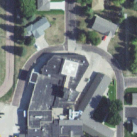
Aerial tile for 0SD4Not visible

0SD4 Brookings Health System

BROOKINGS, SD

44.3080555560001, -96.764722222

Center is a road and driveway between hospital buildings and a parking lot with no pad.

80% confidence Verify on the map →
Is there really a pad here?
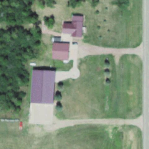
Aerial tile for 27SDNot visible

27SD Albrecht

DE SMET, SD

44.2954472220001, -97.55265

Center shows farm buildings and open field with no helicopter landing marking.

75% confidence Verify on the map →
Is there really a pad here?
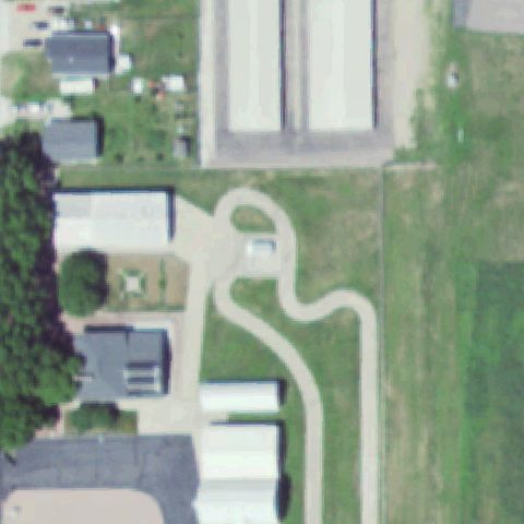
Aerial tile for SD92Not visible

SD92 Telstar

MITCHELL, SD

43.6979805560001, -98.021833333

Center is a grassy lot with driveways and small buildings, no visible pad.

75% confidence Verify on the map →
Is there really a pad here?
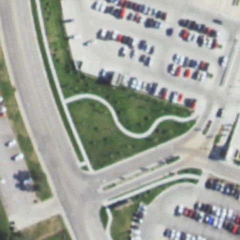
Aerial tile for SD40Not visible

SD40 Rapid City Rgnl Hospital

RAPID CITY, SD

44.0556361110001, -103.226752778

Center shows parking lots and landscaped grass with no pad marking.

80% confidence Verify on the map →
Is there really a pad here?
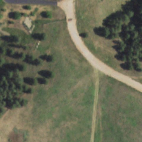
Aerial tile for 26SDNot visible

26SD Shooting Star Ranch

RADIP CITY, SD

44.0275, -103.287222222

Center is open field and trees with a ranch driveway, no pad visible.

85% confidence Verify on the map →
Is there really a pad here?
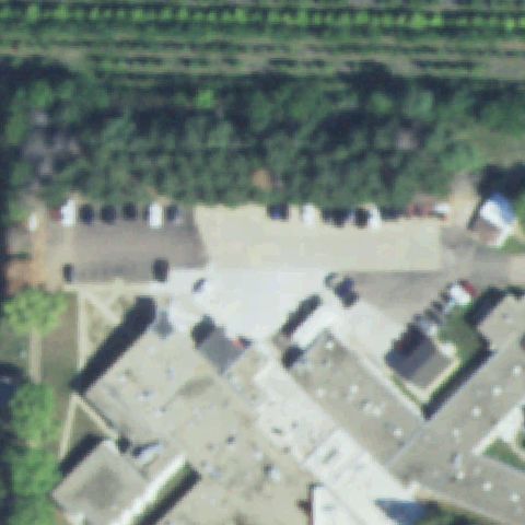
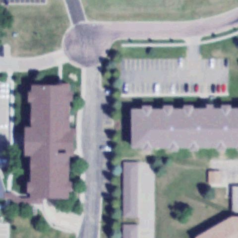
Aerial tile for SD96Not visible

SD96 Pioneer Meml Hospital

VIBORG, SD

43.1758083330001, -97.0844222219999

Center is hospital rooftops and parking shaded by trees with no pad marking.

80% confidence Verify on the map →
Is there really a pad here?
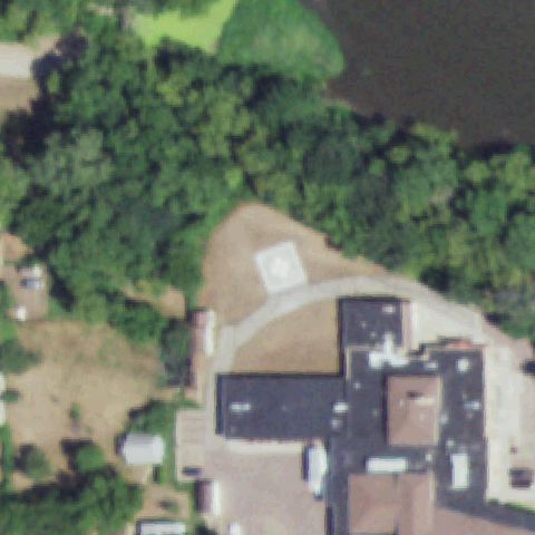
Aerial tile for SD67Not visible

SD67 Flandreau Medical Center

FLANDREAU, SD

44.0516388890001, -96.592

Center is bare dirt and a building with no helicopter landing marking.

75% confidence Verify on the map →
Is there really a pad here?
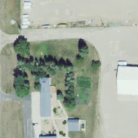
Aerial tile for 15SDNot visible

15SD Brownlee

WATERTOWN, SD

44.8830750000001, -97.108033333

Center is trees, field, and buildings with no helicopter pad visible.

80% confidence Verify on the map →
Is there really a pad here?
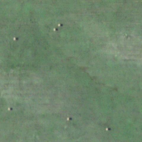
Aerial tile for SD08Not visible

SD08 Keystone Xl Colome

COLOME, SD

43.265, -99.710277778

Center is an open green field with no pad; Keystone XL site never built.

85% confidence Verify on the map →
Is there really a pad here?
Aerial tile for SD04Not visible

SD04 Keystone Xl Opal

OPAL, SD

45.02, -102.658888889

Center is wooded field with no pad; Keystone XL site never built.

85% confidence Verify on the map →
Is there really a pad here?
Aerial tile for SD07Not visible

SD07 Keystone Xl Philip

PHILIP, SD

44.0566666670001, -101.674722222

Blurry field and faint structures with no pad; Keystone XL site never built.

80% confidence Verify on the map →
Is there really a pad here?
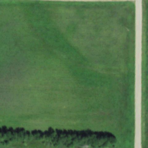
Aerial tile for SD20Not visible

SD20 Crooked Lake Lodge

STRANDBURG, SD

45.032936111, -96.883486111

Center is an open grass field by a road with no helicopter pad visible.

80% confidence Verify on the map →
Is there really a pad here?
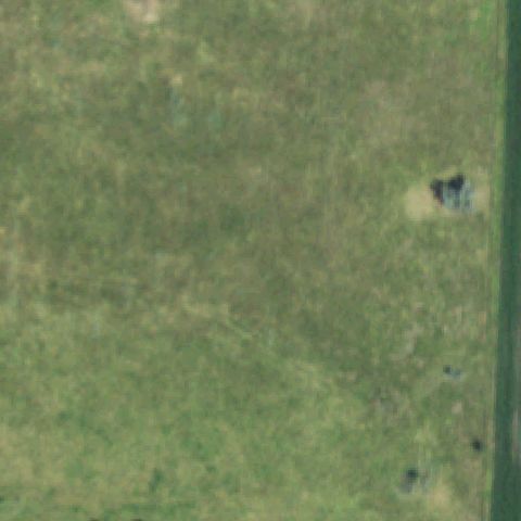
Aerial tile for SD02Not visible

SD02 Mogensmark

TWIN BROOKS, SD

45.1830555560001, -96.777777778

Center is an open grass field with no helicopter landing marking.

85% confidence Verify on the map →
Is there really a pad here?
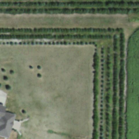
Aerial tile for SD28Not visible

SD28 Tumbleweed Lodge

HARROLD, SD

44.4609444440001, -99.742305556

Center shows farm field and tree rows with no pad marking.

80% confidence Verify on the map →
Is there really a pad here?
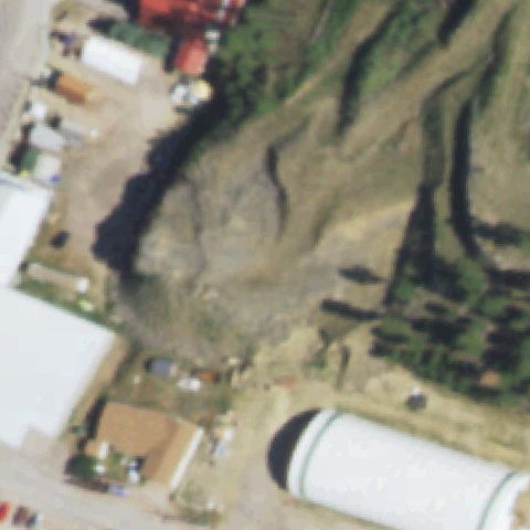
Aerial tile for SD62Not visible

SD62 Borglum

KEYSTONE, SD

43.8908888890001, -103.426102778

Center is a bare graded hillside near buildings with no pad marking.

75% confidence Verify on the map →
Is there really a pad here?
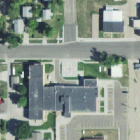
Aerial tile for SD58Off-center

SD58 Burke Hospital

BURKE, SD

43.1823444440001, -99.293683333

White square pad with red cross marking sits just below the image center.

90% confidence Verify on the map →
Is there really a pad here?
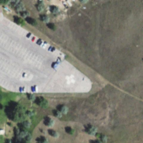
Aerial tile for SD23Off-center

SD23 Black Hills Health Care System

HOT SPRINGS, SD

43.4374111110001, -103.473277778

White circular pad with cross marking lies just right of the image center.

85% confidence Verify on the map →
Is there really a pad here?
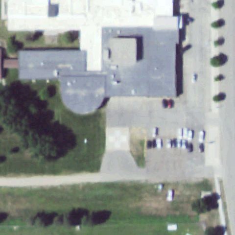
Aerial tile for SD80Off-center

SD80 Mobridge Rgnl Hospital

MOBRIDGE, SD

45.545827778, -100.449025

Light square pad with marking sits just below center near the hospital entrance.

82% confidence Verify on the map →
Is there really a pad here?
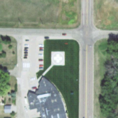
Aerial tile for 08SDOff-center

08SD Douglas County Meml Hospital

ARMOUR, SD

43.3259305560001, -98.3451388889999

White square pad with red cross marking sits left of center on the lawn.

88% confidence Verify on the map →
Is there really a pad here?
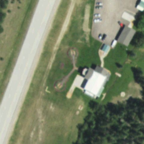
Aerial tile for 0SD9Off-center

0SD9 Crazy Horse

CUSTER, SD

43.844422222, -103.635922222

A white circle touchdown marker sits right of center on tan prepared ground.

60% confidence Verify on the map →
Is there really a pad here?
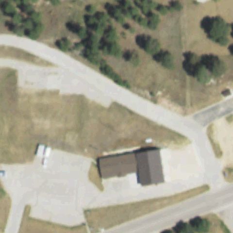
Aerial tile for SD86Off-center

SD86 Monument Health Custer Hospital

CUSTER, SD

43.7726027780001, -103.593669444

White square pad with cross marking sits just above the image center.

82% confidence Verify on the map →
Is there really a pad here?
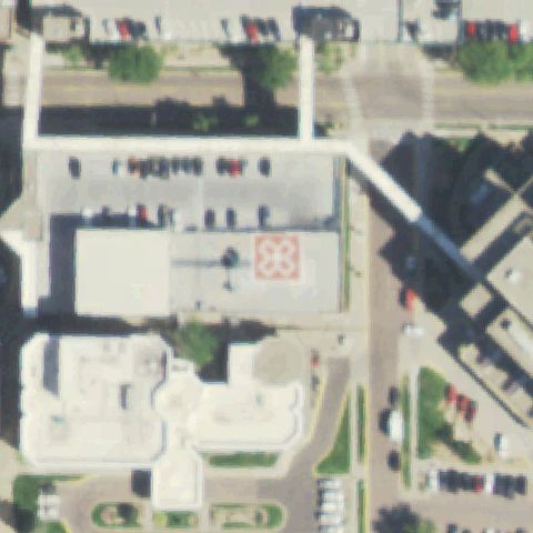
Aerial tile for 2SD1Off-center

2SD1 Mc Kennan Hospital

SIOUX FALLS, SD

43.5344638890001, -96.71295

Orange rooftop pad with a floral H marking sits right of the image center.

85% confidence Verify on the map →
Is there really a pad here?
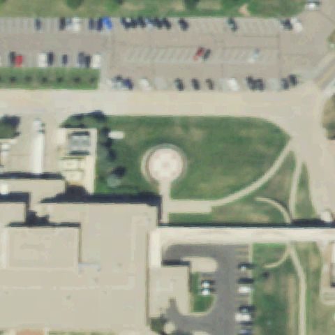
Aerial tile for 2SD6Off-center

2SD6 Avera Heart Hospital of South Dakota

SIOUX FALLS, SD

43.4912694440001, -96.780047222

A circular paved touchdown area sits left of center in the courtyard lawn.

50% confidence Verify on the map →
Is there really a pad here?
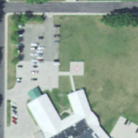
Aerial tile for SD17Off-center

SD17 Cdp Hospital

SISSETON, SD

45.6580138890001, -97.050080556

White square pad with cross marking sits right of center on the lawn.

82% confidence Verify on the map →
Is there really a pad here?
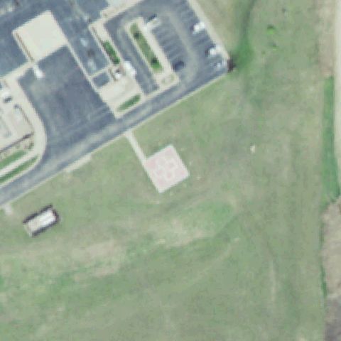
Aerial tile for 16SDOff-center

16SD Madison Community Hospital

MADISON, SD

43.990655556, -97.117336111

A pink square pad with a circle marking sits just below the image center.

80% confidence Verify on the map →
Is there really a pad here?
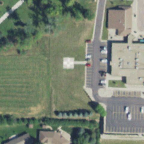
Aerial tile for SD22Off-center

SD22 Avera Dells Area Hospital

DELL RAPIDS, SD

43.8285000000001, -96.717277778

A white square pad with faint marking sits left of center on the lawn.

75% confidence Verify on the map →
Is there really a pad here?
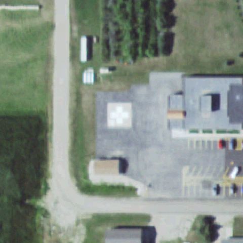
Aerial tile for SD06Off-center

SD06 Faulkton Area Medical Center

FAULKTON, SD

45.0304, -99.134175

White square pad with cross marking sits left of center on prepared asphalt.

82% confidence Verify on the map →
Is there really a pad here?
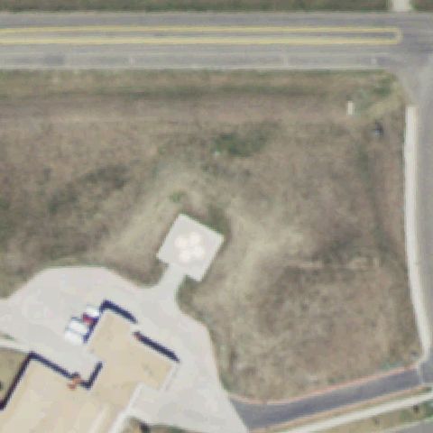
Aerial tile for 04SDOff-center

04SD Cheyenne River Health Center

EAGLE BUTTE, SD

44.9931250000001, -101.243011111

White square pad with cross marking sits left of center near the building.

80% confidence Verify on the map →
Is there really a pad here?
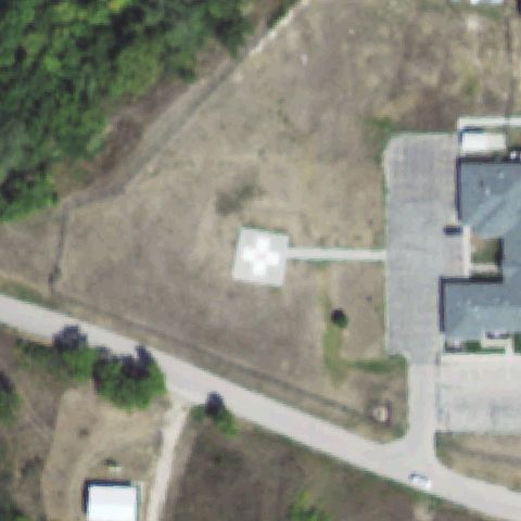
Aerial tile for 10SDOff-center

10SD Wanblee Health Center

WANBLEE, SD

43.5638361110001, -101.660222222

White square pad with cross marking sits left of center on the grass.

80% confidence Verify on the map →
Is there really a pad here?
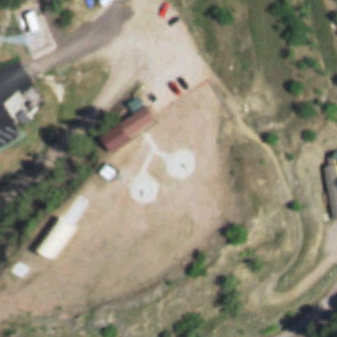
Aerial tile for SD42Off-center

SD42 Rushmore

KEYSTONE, SD

43.8948444440001, -103.42145

Two white circle touchdown markers sit just below center on tan prepared ground.

78% confidence Verify on the map →
Is there really a pad here?
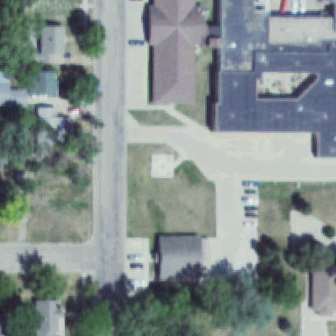
Aerial tile for SD45Uncertain

SD45 Community Meml Hospital

REDFIELD, SD

44.8710888890001, -98.5217888889999

A faint light square sits near center but shows no clear landing marking.

60% confidence Verify on the map →
Is there really a pad here?
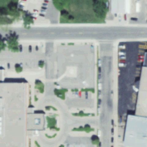
Aerial tile for SD54Uncertain

SD54 Avera St Luke's

ABERDEEN, SD

45.4618611110001, -98.476805556

Center is a paved plaza with a faint square but no clear helipad marking.

60% confidence Verify on the map →
Is there really a pad here?
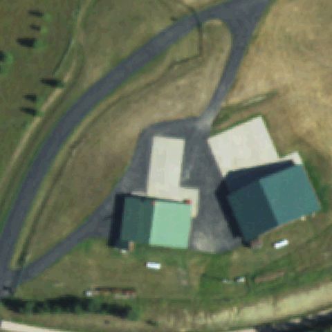
Aerial tile for 3SD5Uncertain

3SD5 Dilligaf

LEAD, SD

44.227544444, -103.779327778

Center shows farm buildings and a light driveway but no clear pad marking.

60% confidence Verify on the map →
Is there really a pad here?
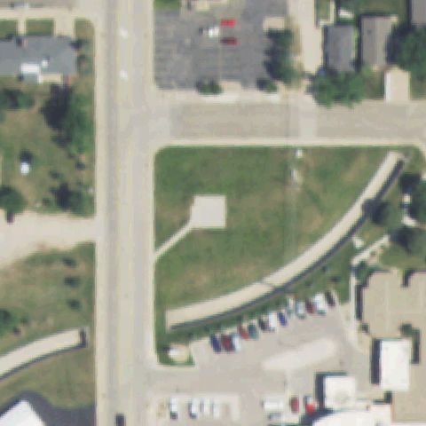
Aerial tile for 2SD5Uncertain

2SD5 Sturgis

STURGIS, SD

44.4029055560001, -103.508780556

A faint light square sits at center in open grass with no clear marking.

60% confidence Verify on the map →
Is there really a pad here?
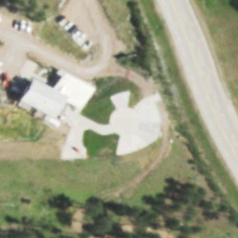
Aerial tile for SD18Uncertain

SD18 Keystone

RAPID CITY, SD

43.916261111, -103.441719444

Center is a large graded prepared lot but shows no clear landing marking.

55% confidence Verify on the map →
Is there really a pad here?
Aerial tile for SD38Uncertain

SD38 Exceptional Community Hospital

RAPID CITY, SD

44.100376, -103.169201

Imagery is washed out and overexposed at center with no discernible pad.

60% confidence Verify on the map →
Is there really a pad here?
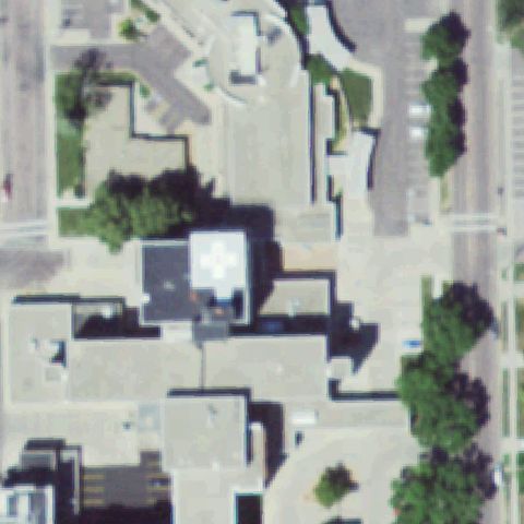
Aerial tile for SD52Confirmed

SD52 Avera Queen of Peace Hospital

MITCHELL, SD

43.714616667, -98.008033333

White square rooftop pad with a cross marking is at the image center.

✓ Confirmed by AI vision with Claude Opus 4.8

88% confidence Verify on the map →
Is there really a pad here?
Aerial tile for 1SD7Confirmed

1SD7 Rosebud Comprehensive Health Care Facility

ROSEBUD, SD

43.2571472220001, -100.849880556

A light prepared square pad with faint markings sits near the image center.

✓ Confirmed by AI vision with Claude Opus 4.8

60% confidence Verify on the map →
Is there really a pad here?
Aerial tile for SD09Confirmed

SD09 Mid-Dakota Hospital

CHAMBERLAIN, SD

43.7865416670001, -99.324663889

A light square with a faint marking sits at center on a prepared surface.

✓ Confirmed by AI vision with Claude Opus 4.8

60% confidence Verify on the map →
Is there really a pad here?
Aerial tile for SD69Confirmed

SD69 Badlands

INTERIOR, SD

43.792844444, -101.906144444

White square pad with cross marking sits near center on a tan prepared surface.

✓ Confirmed by AI vision with Claude Opus 4.8

80% confidence Verify on the map →
Is there really a pad here?
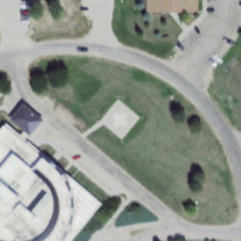
Aerial tile for SD87Confirmed

SD87 Platte Community Meml Hospital

PLATTE, SD

43.385275, -98.835691667

White square rooftop pad with a cross marking sits at the image center.

✓ Confirmed by AI vision with Claude Opus 4.8

85% confidence Verify on the map →
Is there really a pad here?
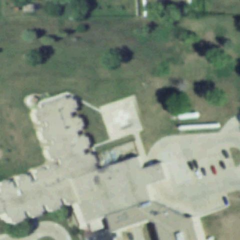
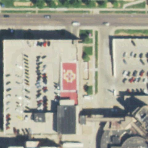
Aerial tile for 1SD9Confirmed

1SD9 Sanford Usd Medical Center

SIOUX FALLS, SD

43.5362547220001, -96.744078222

Red rooftop pad with a white floral H marking sits at the image center.

✓ Confirmed by AI vision with Claude Opus 4.8

90% confidence Verify on the map →
Is there really a pad here?
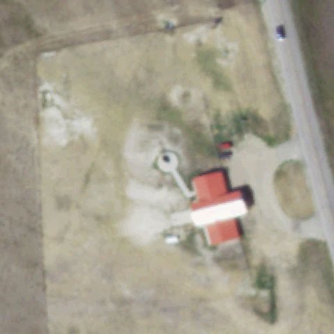
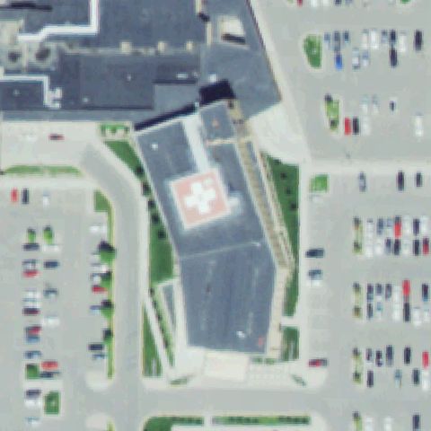
Aerial tile for 0SD2Confirmed

0SD2 Prairie Lakes West

WATERTOWN, SD

44.9106555560001, -97.120019444

Red rooftop pad with a white cross marking sits at the image center.

✓ Confirmed by AI vision with Claude Opus 4.8

85% confidence Verify on the map →
Is there really a pad here?