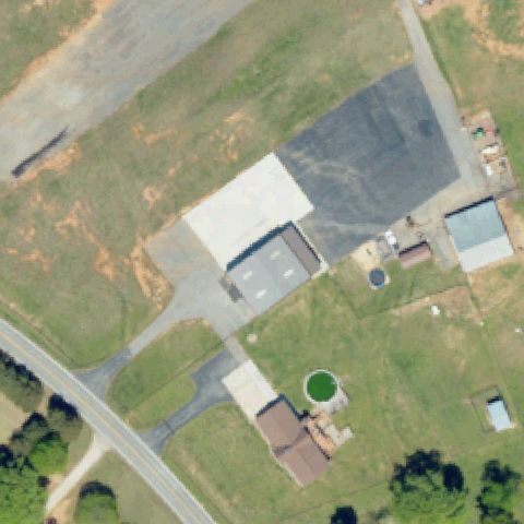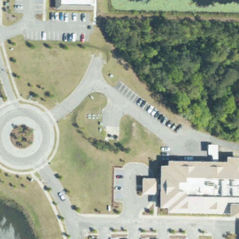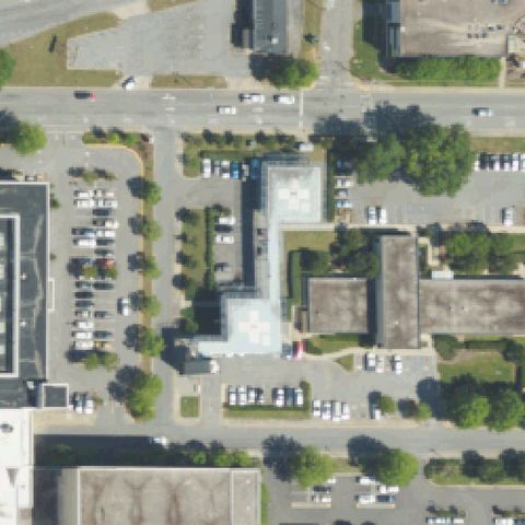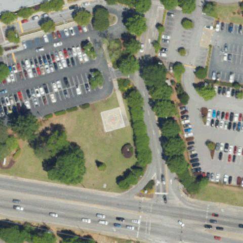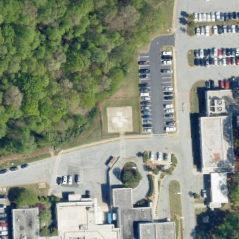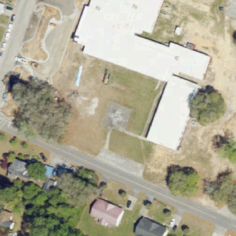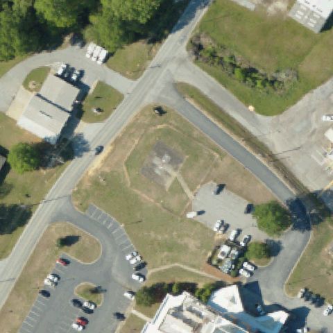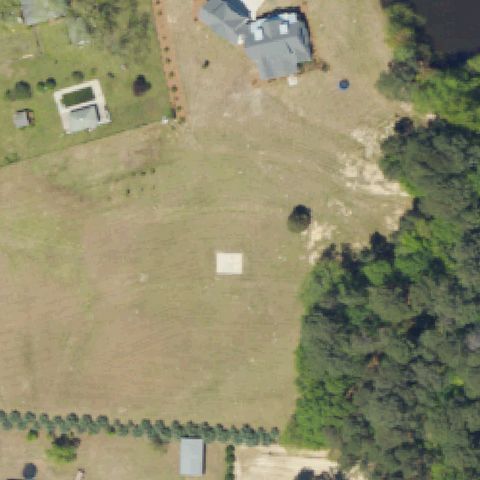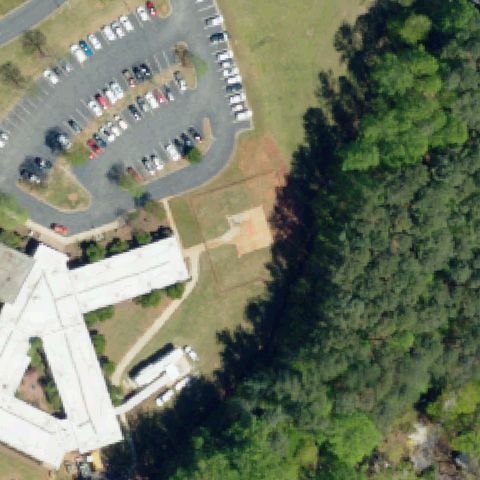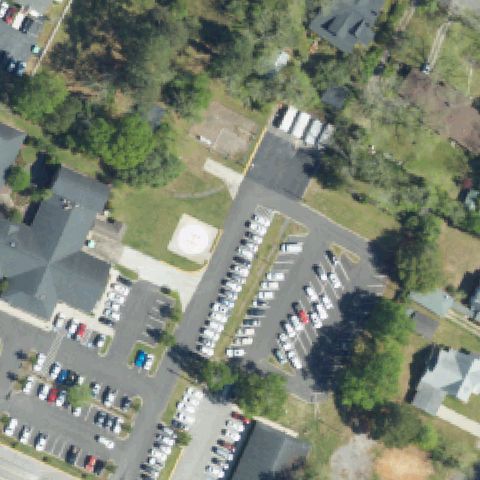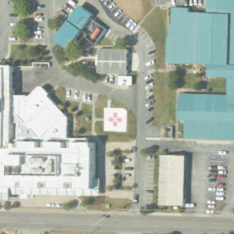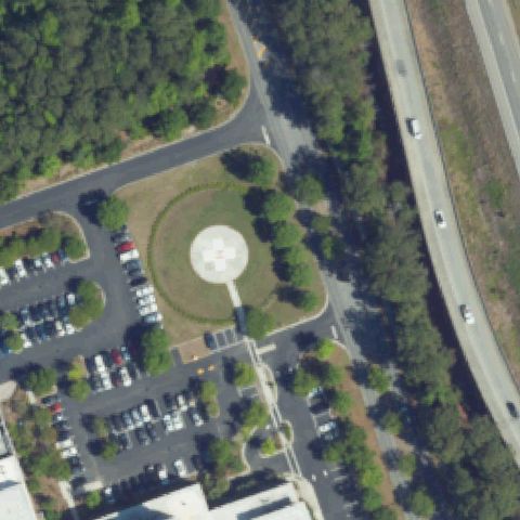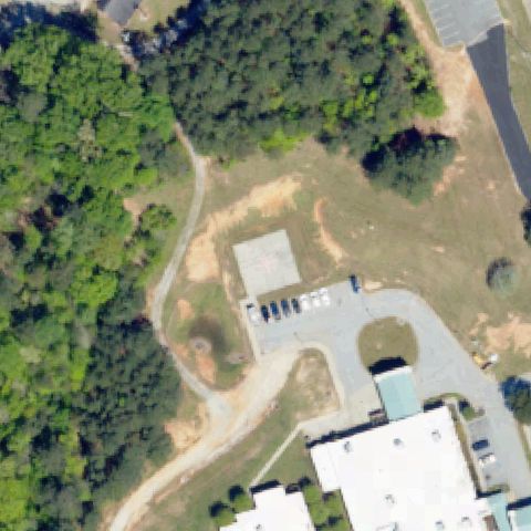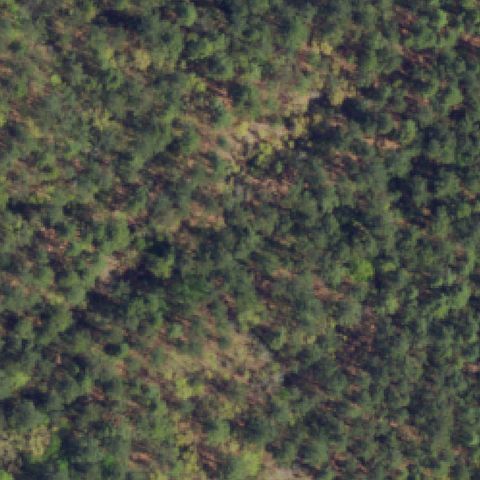
Not visibleSC11 Fort Jackson Helipad
FORT JACKSON, SC
34.0334869440001, -80.899811111
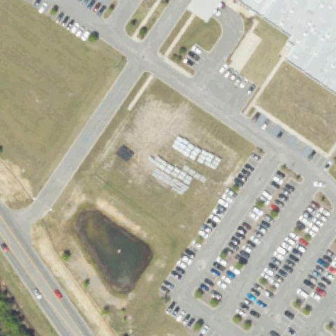
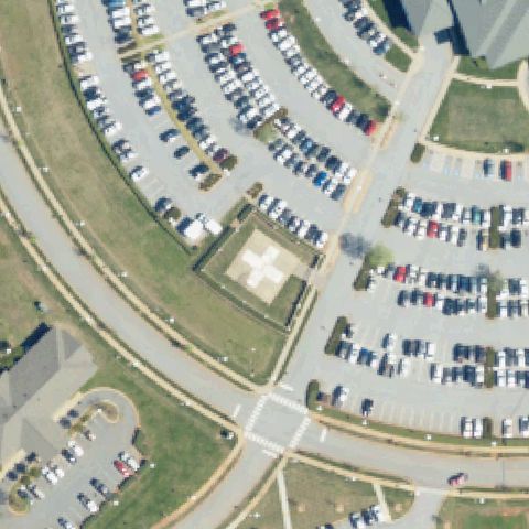
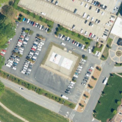
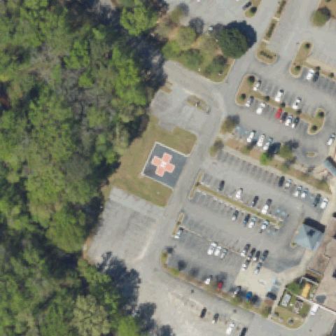
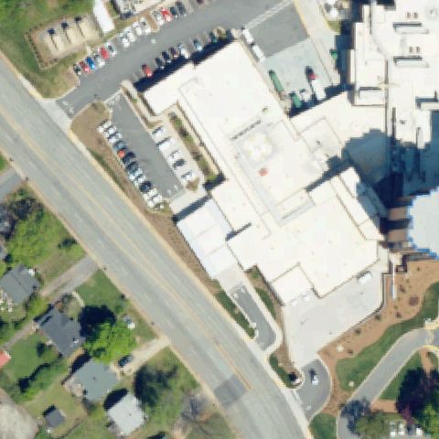
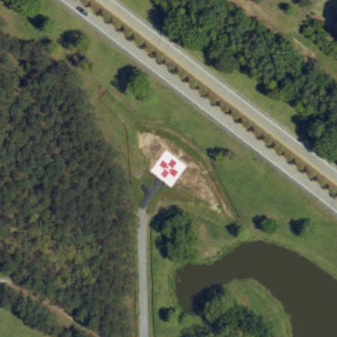
Center is dense unbroken forest with no pad; imagery may predate construction.
Data: FAA Airports (ArcGIS open layer) | Imagery: USGS NAIP (public domain) | AI vision: Claude Opus 4.8 | built 2026-07-05
A flag means a pad could not be confirmed from current imagery - never that a heliport is missing, fake, or mislocated. Help us check: vote on each one below.
Not visibleFORT JACKSON, SC
34.0334869440001, -80.899811111
Center is dense unbroken forest with no pad; imagery may predate construction.
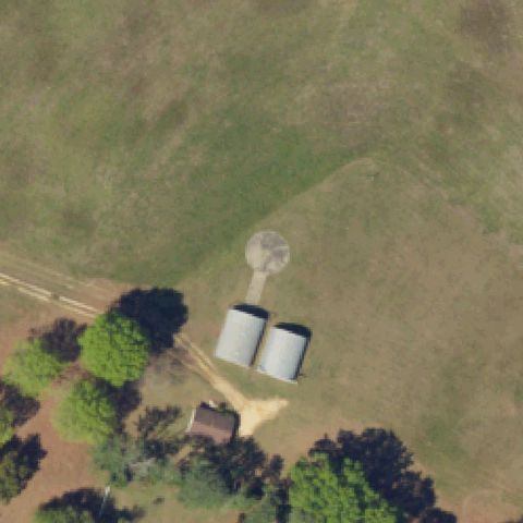
Not visibleLUGOFF, SC
34.229383333, -80.682336111
Center is an open field with a water tank and silos, no helipad.
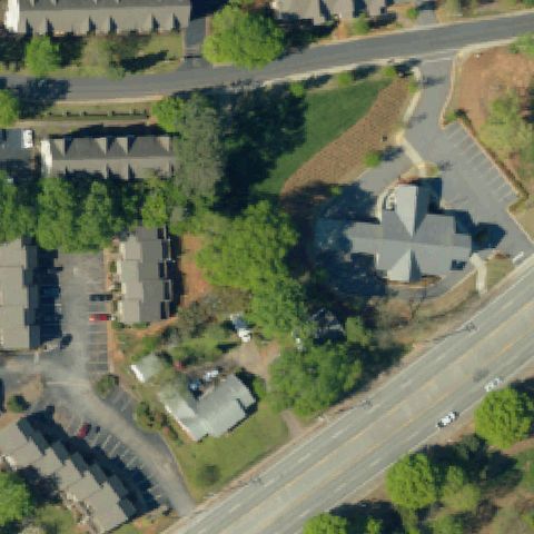
Not visibleCLEMSON, SC
34.6834388890001, -82.81792
Center is trees and vegetation with a church-style building, no pad.
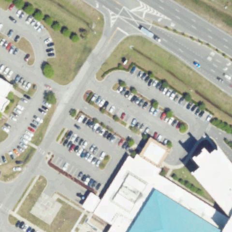
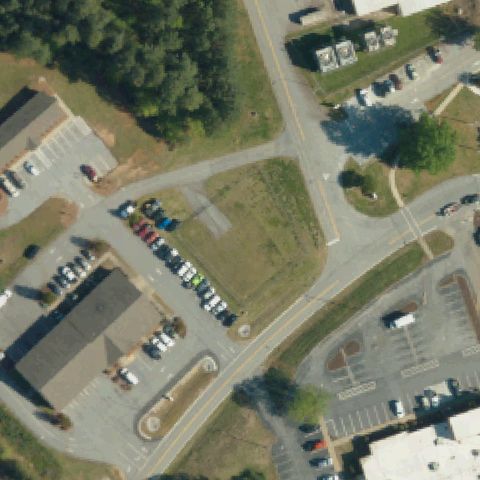
Not visibleLITTLE RIVER, SC
33.866552778, -78.6642305559999
Center is parking lots and grass medians with no helipad markings.
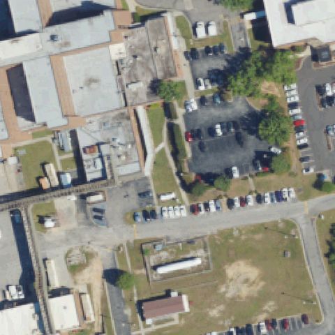
Not visibleORANGEBURG, SC
33.539844444, -80.829808333
Center is parking lots and industrial buildings, no helipad.
Not visibleEASLEY, SC
34.8086111110001, -82.591388889
Center is a rural farmstead with buildings and tanks, no helipad.
Not visibleSENECA, SC
34.694322222, -82.9888861109999
Center is a grass lot and roads with no helipad markings.
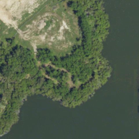
Not visibleKIAWAH ISLAND, SC
32.6045111110001, -80.151158333
Center is forest on a lake shoreline with no pad; imagery may predate construction.
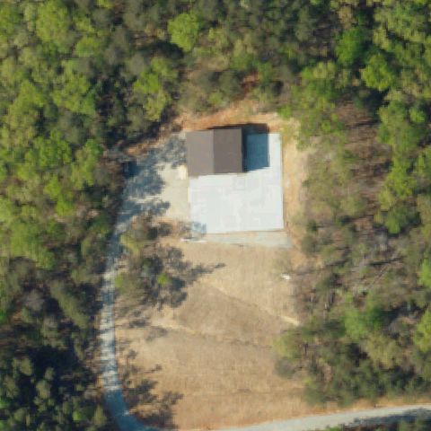
Not visibleSUNSET, SC
34.8812500000001, -82.8867499999999
Center is a building/shed on a concrete slab in a clearing with no helipad markings.
Not visibleMYRTLE BEACH, SC
33.7581000000001, -78.8534999999999
Center is grass and landscaping near a roundabout with no helipad.
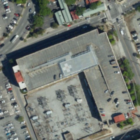
Off-centerCOLUMBIA, SC
34.0293428890001, -81.032641306
Faint light rooftop pads with cross markings on the hospital roof above and left of center.
Off-centerWEST COLUMBIA, SC
34.004719444, -81.112911111
Light square pad with circular marking visible left of center.
Off-centerSIMPSONVILLE, SC
34.721341667, -82.247841667
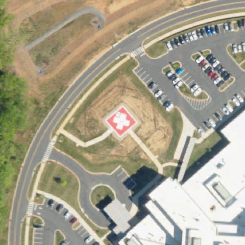
Light square pad with white cross marking visible left of center.
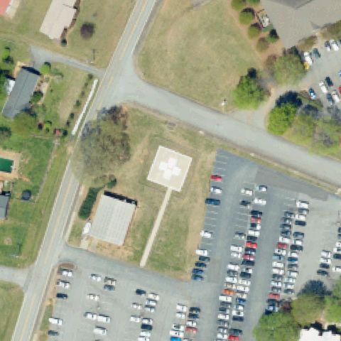
Off-centerCLINTON, SC
34.480574833, -81.9392609719999
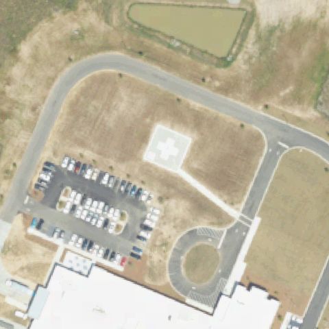
Light square pad with cross/X marking slightly left of center in a lawn.
UncertainCOLUMBIA, SC
34.0666833330001, -81.115158333
Center is a bare cleared dirt lot among warehouses with no pad markings.
UncertainAIKEN, SC
33.283611111, -81.726388889
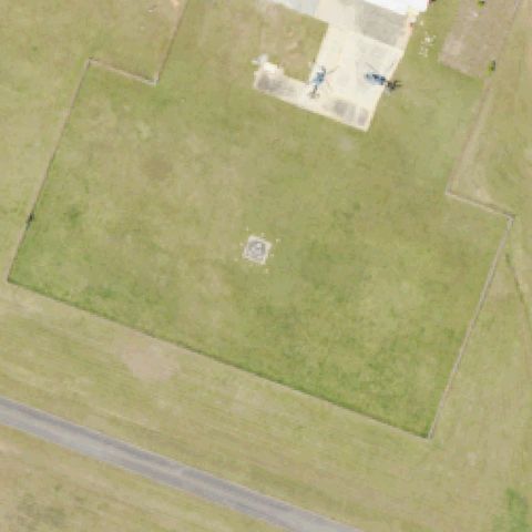
Center is a fenced grass field with only a faint small square marker, no clear pad.
UncertainANDERSON, SC
34.509972222, -82.6466583329999
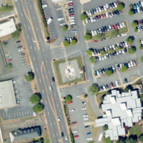
Center structure looks like a decorative plaza fountain/monument rather than a helipad.
UncertainBAMBERG, SC
33.307163889, -81.028433333
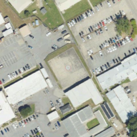
Center is a plain gray concrete square on bare ground with no helipad markings.
UncertainNEWBERRY, SC
34.291405556, -81.6064777779999
Center is a bare cleared rectangle with only a faint indistinct marking, no clear pad.
UncertainLEXINGTON, SC
34.0142500000001, -81.369722222
Center is open grass field with only a faint small light square, no clear markings.
UncertainTRAVELERS REST, SC
34.9757222220001, -82.455211111
Center is a bare dirt patch with only a faint indistinct marking, no clear pad.
UncertainSUMMERVILLE, SC
33.0679250000001, -80.096058333
Center is a bare field with a pond and staged materials, appears under construction, no pad.
UncertainSUMTER, SC
33.923346139, -80.3423664439999
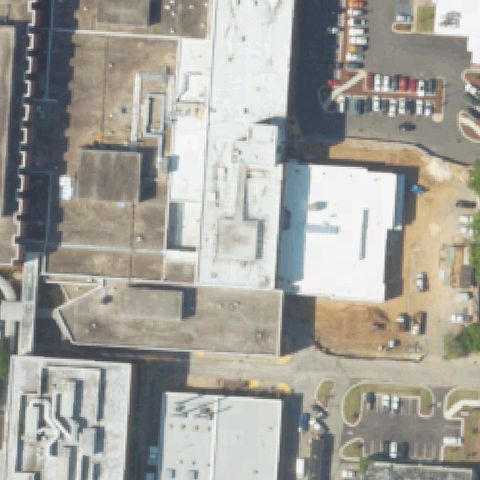
Center is hospital rooftops with no clearly visible helipad marking.
ConfirmedBEAUFORT, SC
32.4163730000001, -80.6867559999999
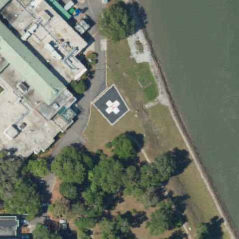
Dark square pad with white H marking at image center beside the river.
✓ Confirmed by AI vision with Claude Opus 4.8
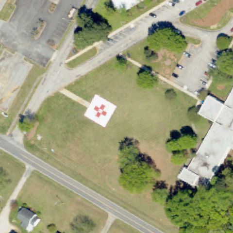
ConfirmedCOLUMBIA, SC
34.0148722220001, -81.0117722219999
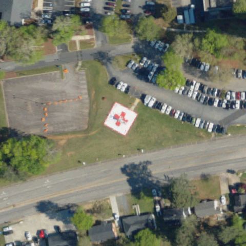
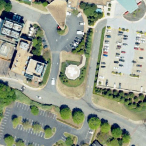
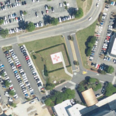
White square pad with red cross marking near image center in a grassy area.
✓ Confirmed by AI vision with Claude Opus 4.8
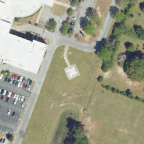
ConfirmedLORIS, SC
34.0588888890001, -78.898333333
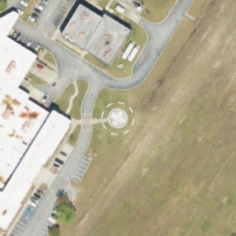
Circular paved pad with a dark helicopter-shaped marking sits near image center at the end of a walkway from the hospital.
✓ Confirmed by AI vision with Claude Opus 4.8
ConfirmedMANNING, SC
33.6867916670001, -80.210530556
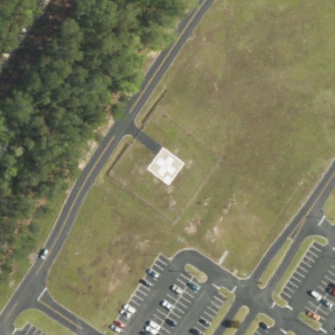
White pad with red cross marking near center beside the hospital.
✓ Confirmed by AI vision with Claude Opus 4.8
ConfirmedMT. PLEASANT, SC
32.8222222220001, -79.850277778
Round light pad with center marking in a landscaped circle at image center.
✓ Confirmed by AI vision with Claude Opus 4.8
ConfirmedABBEVILLE, SC
34.158311111, -82.382069444
Square concrete pad with faint pink markings sits at the image center near the hospital building, reached by a paved driveway loop.
✓ Confirmed by AI vision with Claude Opus 4.8
ConfirmedCHARLESTON, SC
32.786905, -79.951017
Rooftop pad with white cross marking near center of the large hospital building.
✓ Confirmed by AI vision with Claude Opus 4.8
ConfirmedCHESTER, SC
34.683473056, -81.183977222
White square pad with red cross marking near image center in a grass lawn.
✓ Confirmed by AI vision with Claude Opus 4.8
ConfirmedEASLEY, SC
34.8421888890001, -82.607122222
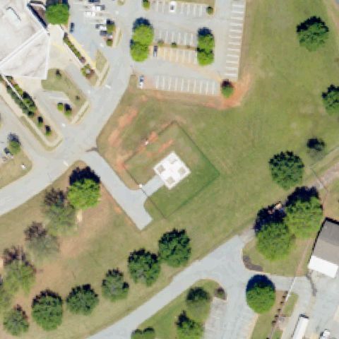
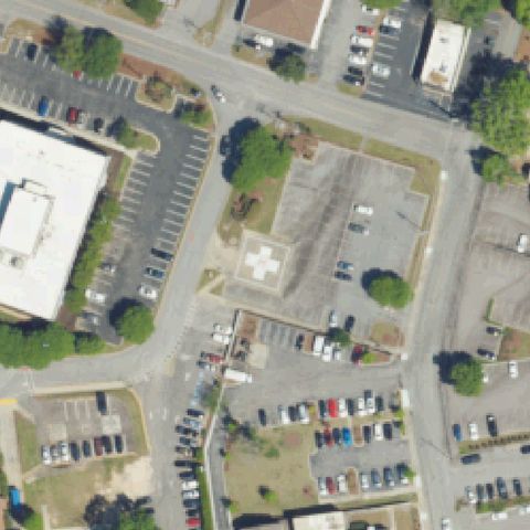
Light square pad with white cross marking at center between parking lots.
✓ Confirmed by AI vision with Claude Opus 4.8
ConfirmedFLORENCE, SC
34.1591194440001, -79.750863889
Light square pad with white X/cross marking at image center in a field.
✓ Confirmed by AI vision with Claude Opus 4.8
ConfirmedHARTSVILLE, SC
34.3497972220001, -80.103002778
Round pad with cross marking and dashed circle outline near image center.
✓ Confirmed by AI vision with Claude Opus 4.8
ConfirmedLANCASTER, SC
34.7168861110001, -80.7891333329999
White and red square pad with cross marking near center in a lawn area.
✓ Confirmed by AI vision with Claude Opus 4.8
ConfirmedROCK HILL, SC
34.9579972220001, -81.0503305559999
Light square pad with faint cross marking at center in grass between parking lots.
✓ Confirmed by AI vision with Claude Opus 4.8
ConfirmedVARNVILLE, SC
32.854275, -81.0897416669999
White square pad with cross marking near image center in an open field.
✓ Confirmed by AI vision with Claude Opus 4.8
ConfirmedSPARTANBURG, SC
34.9651305560001, -81.9393277779999
Round pad with white cross marking near image center in landscaped area.
✓ Confirmed by AI vision with Claude Opus 4.8
ConfirmedHARTSVILLE, SC
34.4054305560001, -80.1577722219999
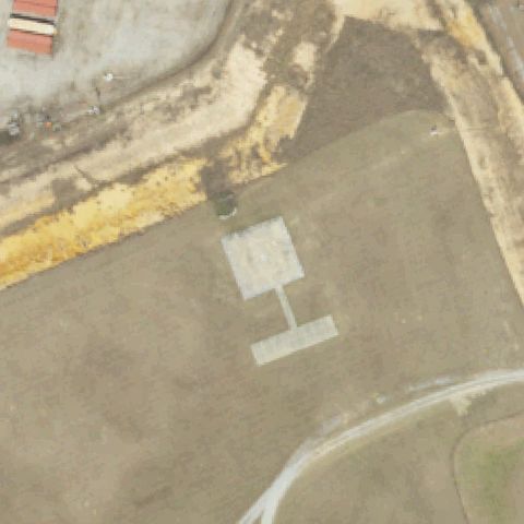
Light square pad with painted H marking on prepared ground near center.
✓ Confirmed by AI vision with Claude Opus 4.8
ConfirmedSENECA, SC
34.800221111, -82.89719625
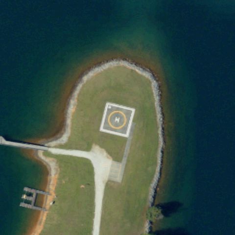
Square pad with circle and H marking centered on a small lake island.
✓ Confirmed by AI vision with Claude Opus 4.8
ConfirmedCHARLESTON, SC
32.7822410000001, -79.9514988889999
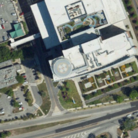
Round rooftop pad with cross marking near center of the hospital roof.
✓ Confirmed by AI vision with Claude Opus 4.8
ConfirmedGREER, SC
34.919147222, -82.2449999999999
Light square pad with white cross marking near image center beside parking.
✓ Confirmed by AI vision with Claude Opus 4.8
ConfirmedGREENVILLE, SC
34.817706694, -82.414452028
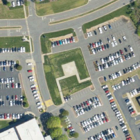
Large light pad with faint markings at image center surrounded by parking lots.
✓ Confirmed by AI vision with Claude Opus 4.8
ConfirmedCAMDEN, SC
34.2535222220001, -80.591522222
Dark pad with red cross marking at image center beside the parking lot.
✓ Confirmed by AI vision with Claude Opus 4.8
ConfirmedGREENVILLE, SC
34.8398750000001, -82.422505556
Round rooftop pad with cross marking near center of the hospital roof.
✓ Confirmed by AI vision with Claude Opus 4.8
ConfirmedCHARLESTON, SC
32.8674833330001, -79.9059999999999
White square pad with red cross marking near image center on a prepared clearing.
✓ Confirmed by AI vision with Claude Opus 4.8
ConfirmedCADES, SC
33.8067583330001, -79.784202778
Light square pad with white cross marking near image center.
✓ Confirmed by AI vision with Claude Opus 4.8
ConfirmedFT MILL, SC
35.023594444, -80.958705556
Red square pad with white cross marking near image center in a graded lot.
✓ Confirmed by AI vision with Claude Opus 4.8
ConfirmedNORTH CHARLESTON, SC
32.977122222, -80.073766667
White square pad with red cross marking at image center in a grass courtyard.
✓ Confirmed by AI vision with Claude Opus 4.8