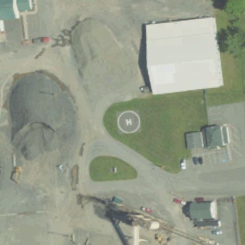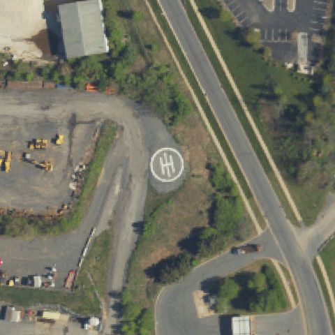
Not visible6PN8 Posh
BETHLEHEM, PA
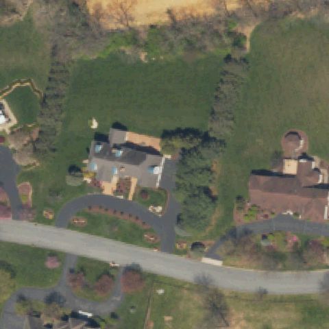
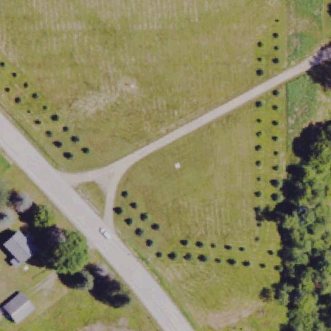
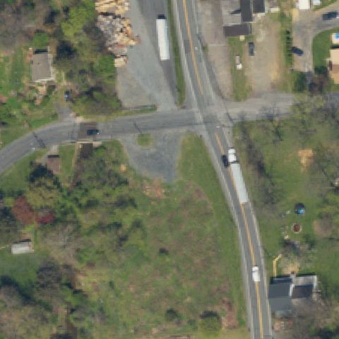
40.6459316670001, -75.332956944
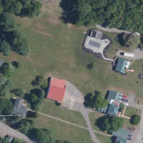
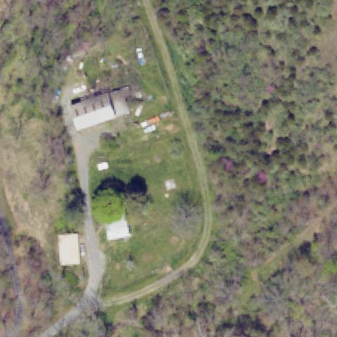
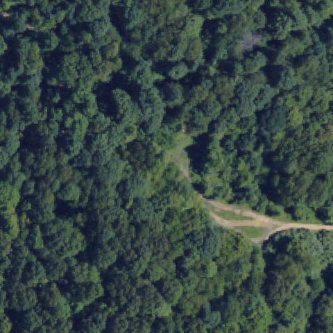
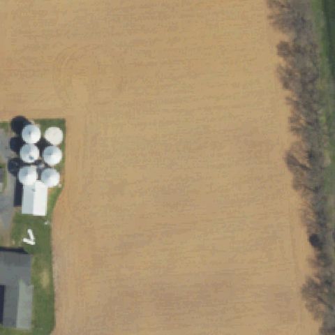
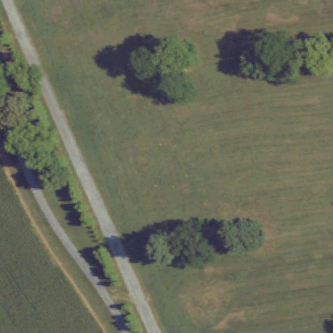
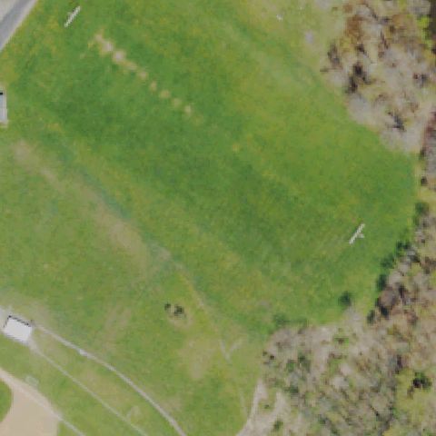
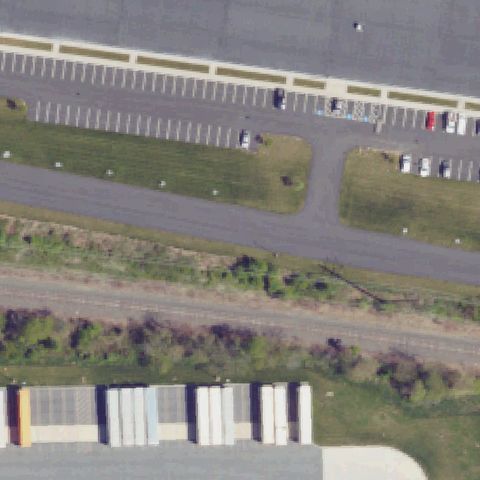
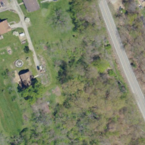
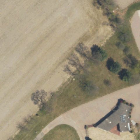
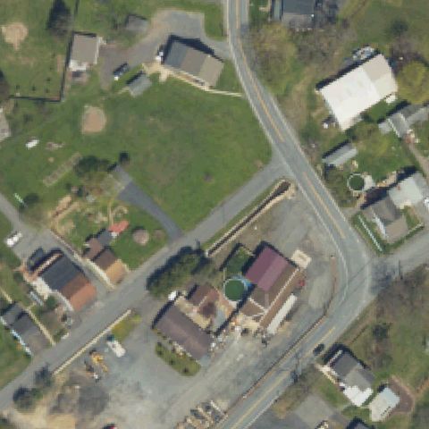
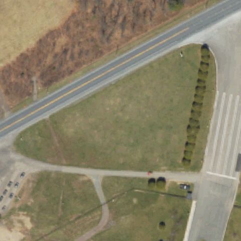
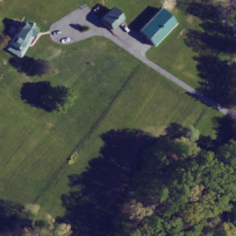
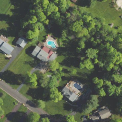
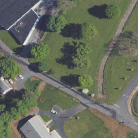
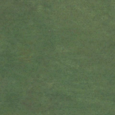
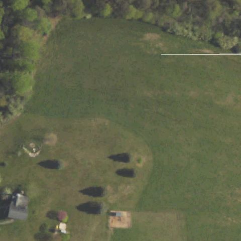
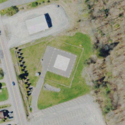
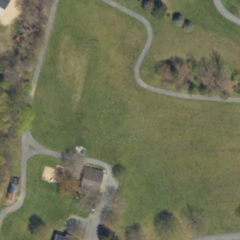
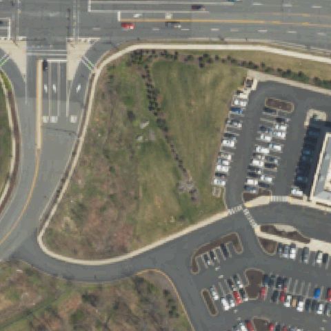
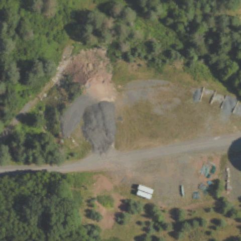
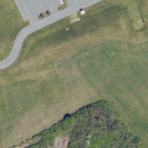
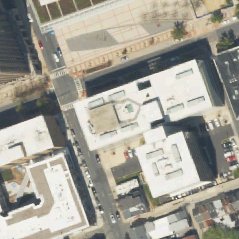
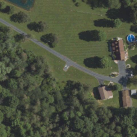
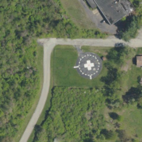
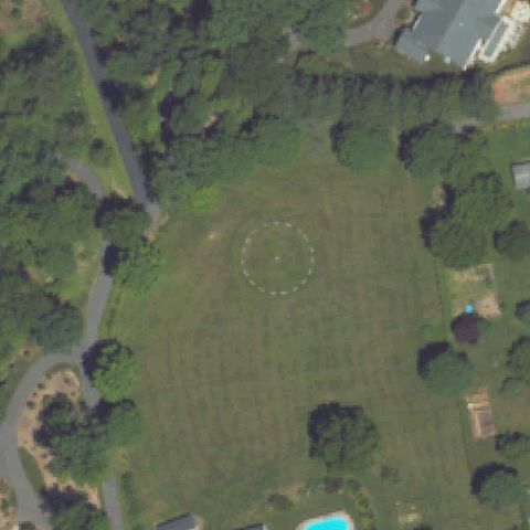
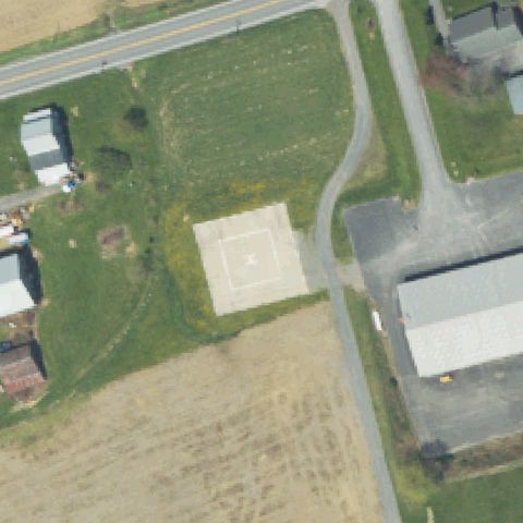
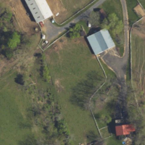
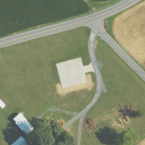
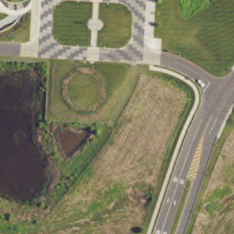
Center shows a road intersection with surrounding rural properties; no helipad markings visible.
Data: FAA Airports (ArcGIS open layer) | Imagery: USGS NAIP (public domain) | AI vision: Claude Opus 4.8 | built 2026-07-05
A flag means a pad could not be confirmed from current imagery - never that a heliport is missing, fake, or mislocated. Help us check: vote on each one below.
Not visibleBETHLEHEM, PA
40.6459316670001, -75.332956944
Center shows a road intersection with surrounding rural properties; no helipad markings visible.
Not visibleBETHLEHEM, PA
40.6842644440001, -75.3340683329999
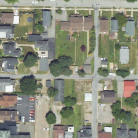
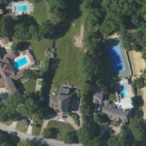
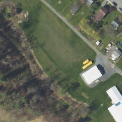
Residential area with houses and driveways; no helicopter landing pad or markings visible at center.
Not visibleBIRDSBORO, PA
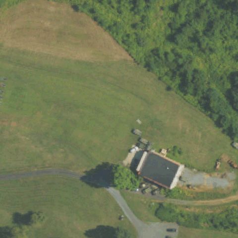
40.3092594440001, -75.826309722
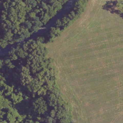
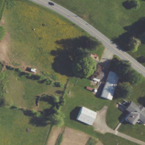
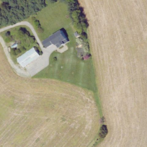
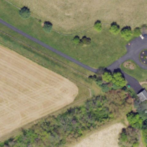
Open grassy field with a small barn structure; no helipad markings visible at center.
Not visibleCANONSBURG, PA
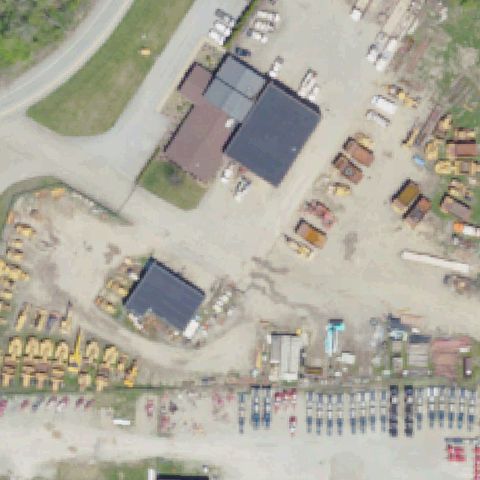
40.238116667, -80.177416667
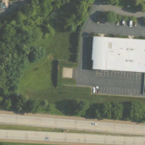
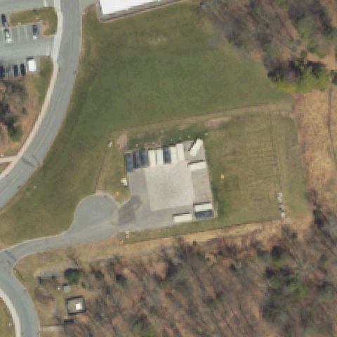
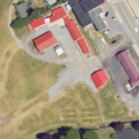
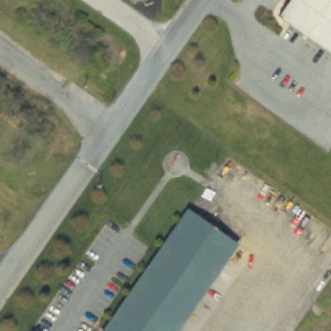
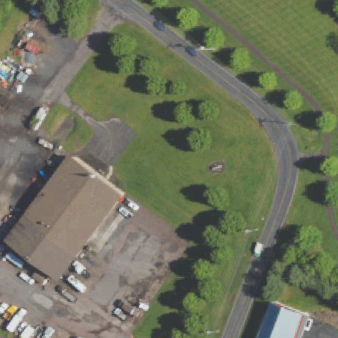
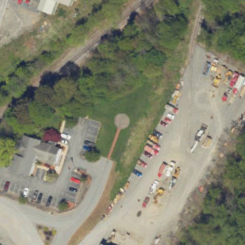
Industrial equipment yard with buildings and machinery; no helipad markings visible at center.
Not visibleCANONSBURG, PA
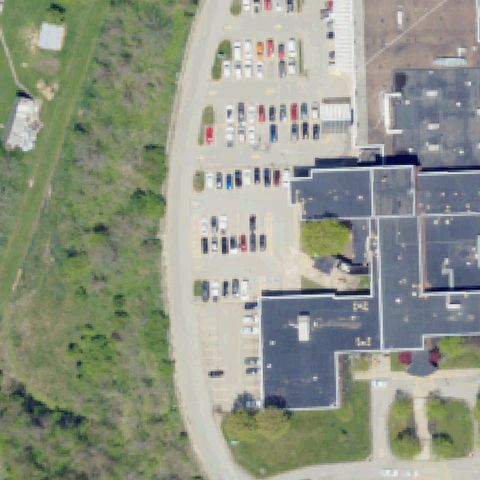
40.24605, -80.1913888889999
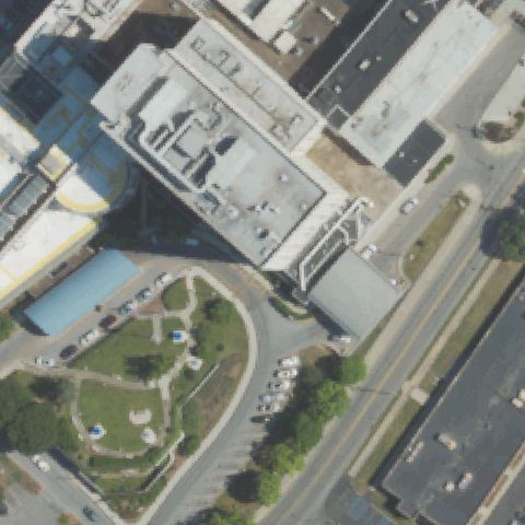
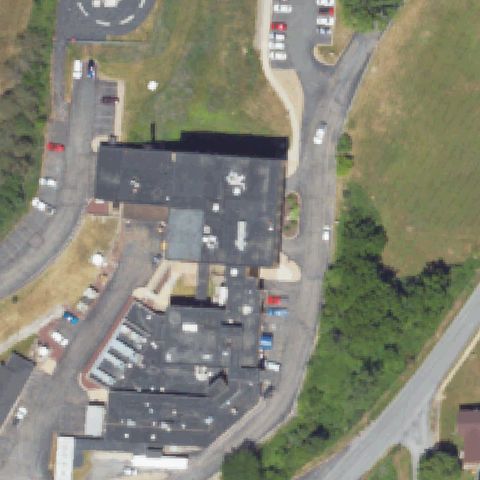
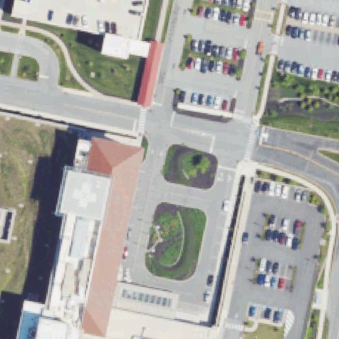
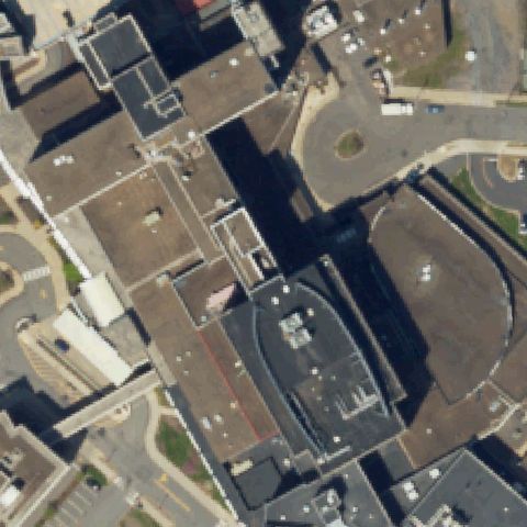
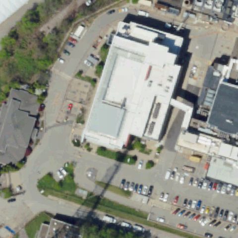
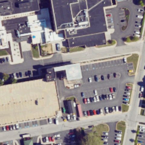
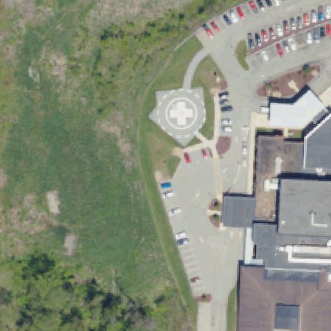
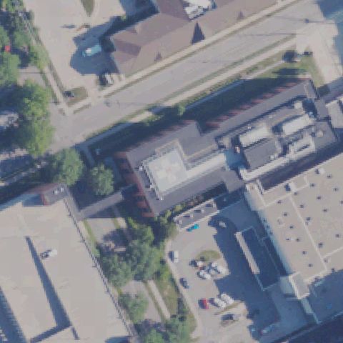
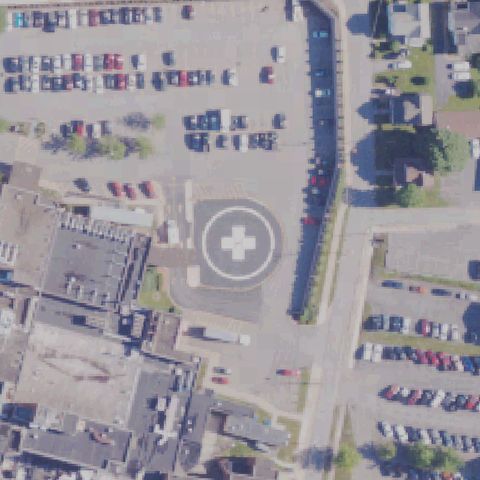
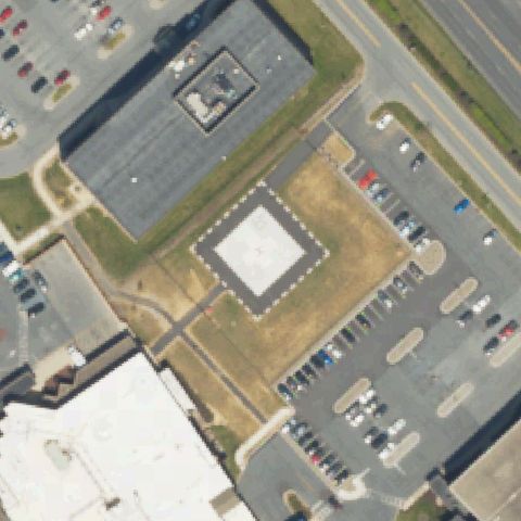
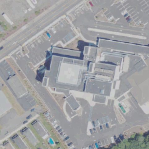
Hospital building and parking lot visible; no helipad marking discernible at image center, though a pad may exist off-frame.
Not visibleALLENTOWN, PA
40.604263056, -75.56213
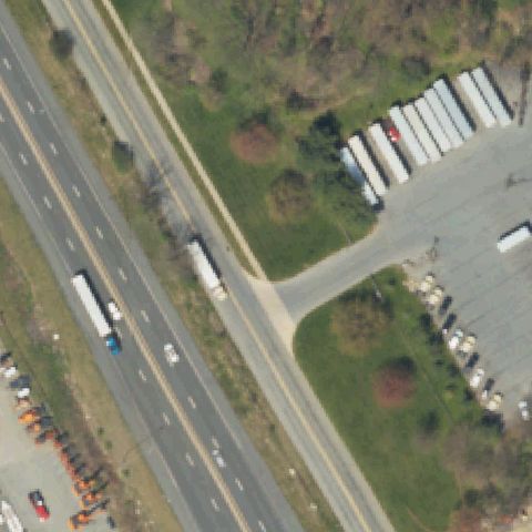
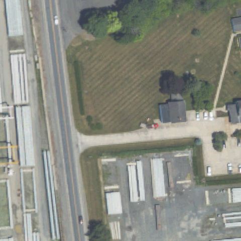
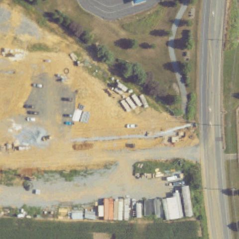
Highway corridor with truck stop; no helipad markings visible at center.
Not visibleALLENTOWN, PA
40.648691667, -75.541961111
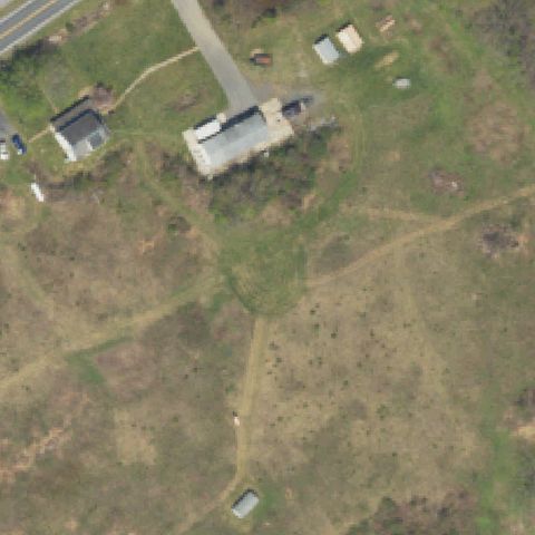
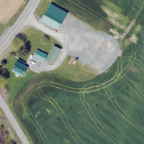
Rural property with small buildings and open fields; no helipad markings visible at center.
Not visibleALTOONA, PA
40.521666667, -78.398333333
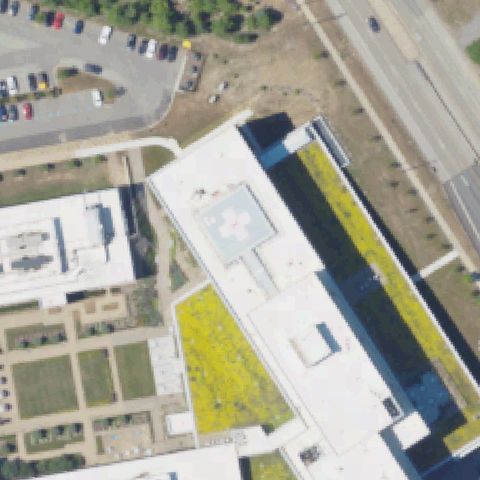
Hospital complex with multiple rooftops and parking; no distinct helipad markings visible at image center.
Not visibleBERWICK, PA
41.066861111, -76.1808055559999
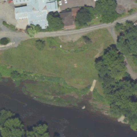
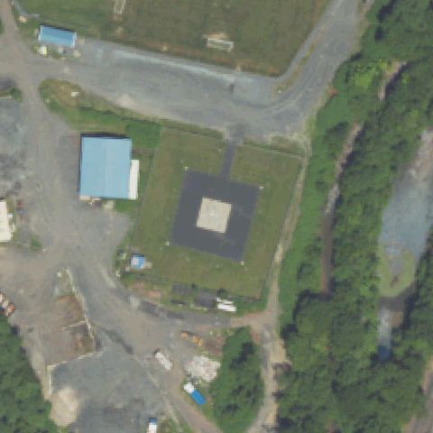
Open grass field near a river with industrial buildings; no helipad markings visible at center.
Not visibleBRICK CHURCH VILLAGE, PA
40.6855277780001, -79.456625
Rural farm property with buildings and open fields; no helipad markings visible at center.
Not visibleBROOKVILLE, PA
41.1564525000001, -79.0930925
Hospital building with rooftop visible at center; no distinct helipad markings visible, though imagery may predate pad installation.
Not visibleCOCHRANVILLE, PA
39.8672222220001, -75.9336111109999
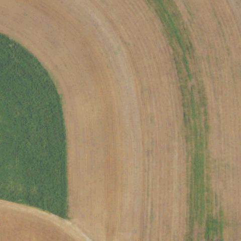
Agricultural field with circular irrigation patterns; these are crop circles, not a helipad.
Not visibleELYSBURG, PA
40.833419167, -76.5496786109999
Agricultural field with crop rows visible; no helipad markings at center.
Not visibleGETTYSBURG, PA
39.7792633330001, -77.251373889
Rural property with farm buildings and wooded areas; no helipad markings visible at center.
Not visibleHARRISBURG, PA
40.300088611, -76.8580283329999
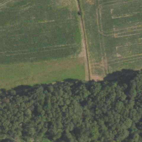
Open grassy field with forest edge; no helipad markings visible at center.
Not visibleINDIANA, PA
40.6250661110001, -79.149756944
Dense residential grid with no helipad markings or prepared pad visible anywhere in the image.
Not visibleKENNETT SQUARE, PA
39.8580138890001, -75.69505
Small tan square feature visible but no H or touchdown markings; center area is wooded with no identifiable helipad.
Not visibleKITTANNING, PA
40.814508333, -79.506155556
Entirely dense forest canopy at image center with no clearing or pad visible.
Not visibleEASTON-FORKS TOWNSHIP, PA
40.749541944, -75.210176944
Agricultural field with farm structures off to one side; image center is open harvested cropland with no pad.
Not visibleEAST PROSPECT, PA
39.9495433330001, -76.553298889
Entirely dense forest canopy covering the entire image center with no visible pad or clearing.
Not visibleEDGEMONT, PA
39.966776667, -75.452420833
Entire image is dense forest canopy with no clearing or pad structure visible.
Not visibleERWINNA, PA
40.529268889, -75.0996163889999
Wooded hillside terrain at image center with no pad, structure, or landing area visible.
Not visibleGREENSBURG, PA
40.300781, -79.555789611
Dense hospital rooftop complex at center with mechanical equipment visible but no marked helipad.
Not visibleHATBORO, PA
40.1529972220001, -75.071780556
Rural residential area with scattered structures; image center is open grass field with no helipad markings.
Not visibleLAKEWOOD, PA
41.8580555560001, -75.448888889
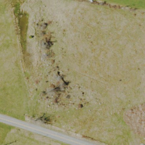
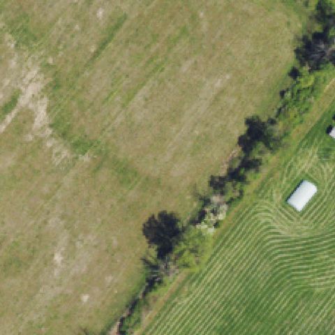
Sparse dry grass field at image center with no prepared pad, markings, or structures.
Not visibleLANCASTER, PA
40.0372861110001, -76.337394444
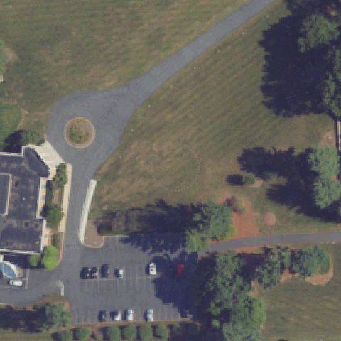
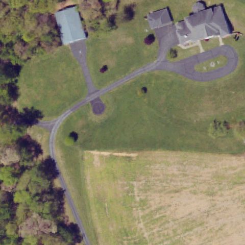
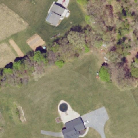
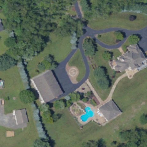
Residential/commercial landscape with circular driveway at center; no helipad markings visible.
Not visibleLEBANON, PA
40.3156222220001, -76.4043305559999
Open grass field with a rural road; image center shows no helipad, pad, or landing markings.
Not visibleMONTROSE, PA
41.8434194440001, -75.8425861109999
Open grass sports field visible with no helipad markings or prepared pad at image center.
Not visibleNEW KINGSTON, PA
40.227866389, -77.088589444
Center shows a parking lot and road with no helipad markings or prepared landing area visible.
Not visibleOAKDALE, PA
40.388402222, -80.1581125
Center shows rural residential lot with trees and open grass; no pad or markings visible.
Not visiblePEN ARGYL, PA
40.84704, -75.243790556
Center is an open plowed agricultural field with scattered trees and a small outbuilding; no helipad visible.
Not visiblePHILADELPHIA, PA
39.995933333, -75.218122222
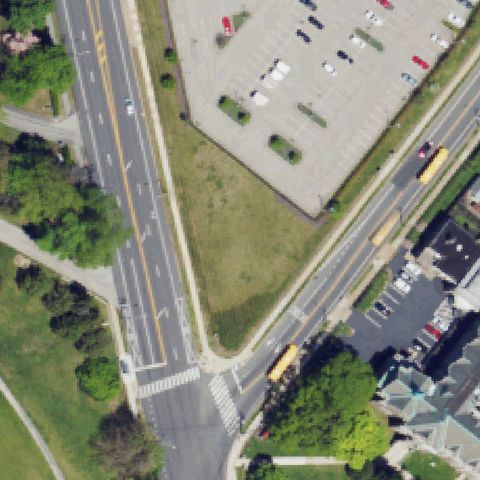
Center shows a road intersection with parking areas and no helipad markings or prepared surface.
Not visiblePHILADELPHIA, PA
39.9490016670001, -75.158510833
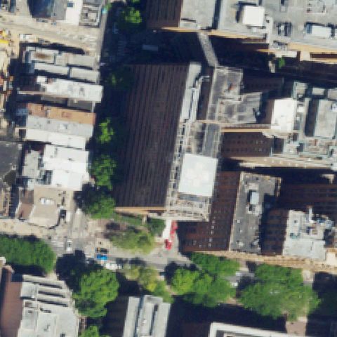
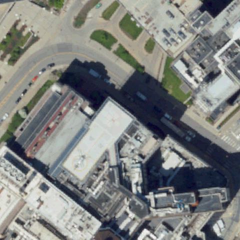
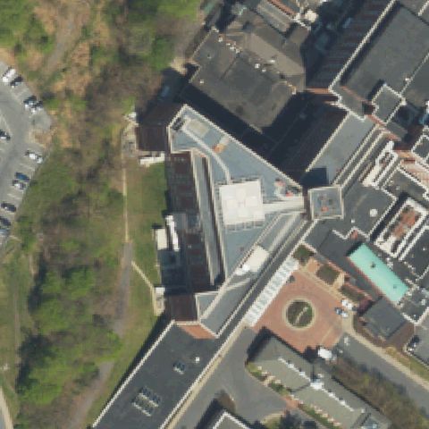
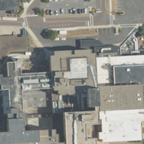
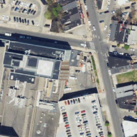
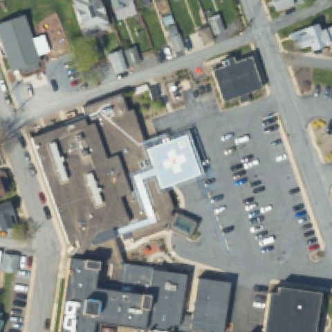
Dense urban hospital rooftop complex at center with no visible helipad marking or dedicated landing area apparent.
Not visiblePHILADELPHIA, PA
39.919835, -75.196568333
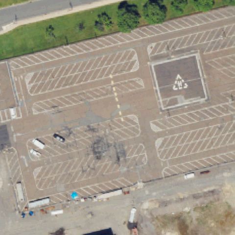
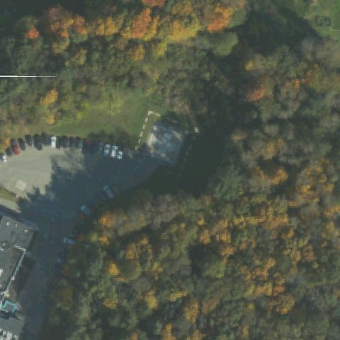
Large industrial parking lot at center; a raised square pad in the upper-right area bears a recycling symbol, not a helipad marker.
Not visiblePHILADELPHIA, PA
39.9483000000001, -75.193886111
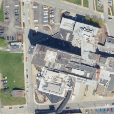
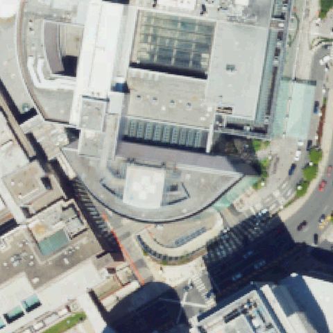
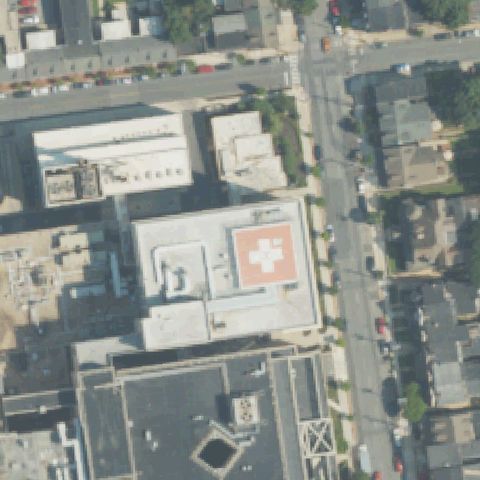
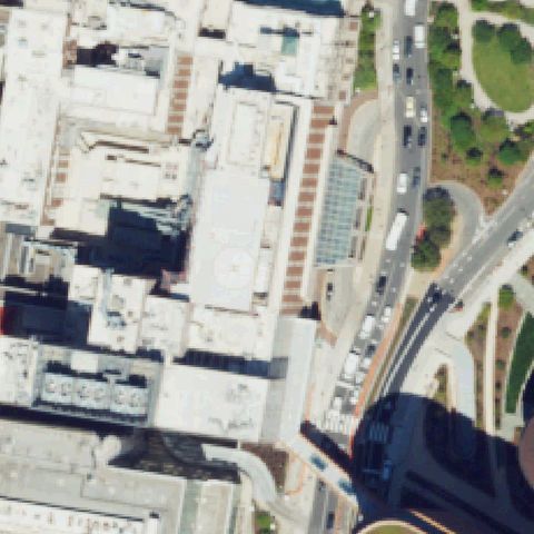
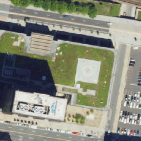
Large urban hospital complex fills the frame; center shows rooftop structures with no identifiable helipad or H marking.
Not visiblePITTSBURGH, PA
40.442013333, -79.995330833
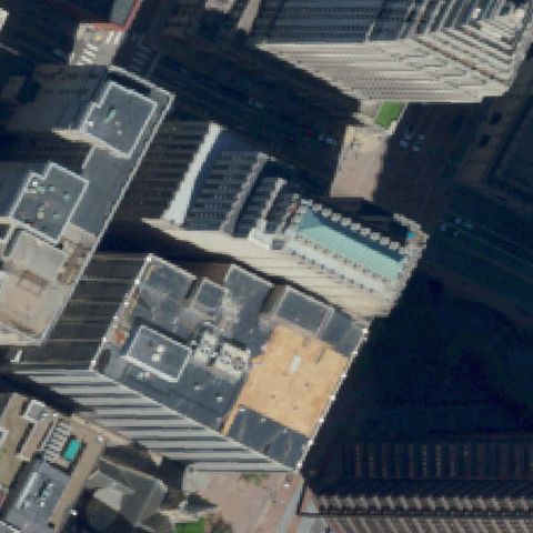
Dense downtown Pittsburgh rooftops fill the frame; no identifiable rooftop helipad or H marking visible at center.
Not visibleLEHIGHTON, PA
40.83775, -75.697216667
Rural town with residential streets and houses at center; no helipad or markings visible.
Not visibleLEWISVILLE, PA
39.7237777780001, -75.8813888889999
Rural residential properties with road; no helipad or prepared landing area visible at center.
Not visibleMARIENVILLE, PA
41.4750083330001, -79.1261083329999
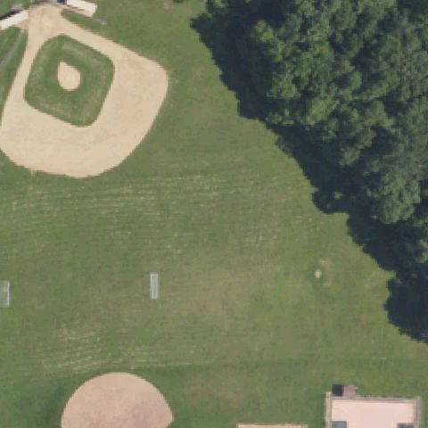
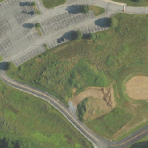
Center shows athletic fields including a baseball diamond; no helipad markings visible anywhere in the image.
Not visibleMASONTOWN, PA
39.8664650000001, -79.9506102779999
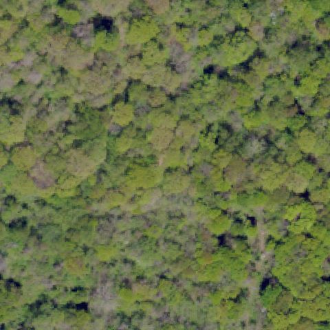
Center is dense forest canopy; no clearing, pad, or helipad markings visible.
Not visibleMOUNT POCONO, PA
41.0894138890001, -75.3153166669999
Center shows a roadside building and parking area with no helipad markings visible.
Not visiblePITTSBURGH, PA
40.436151389, -79.985027778
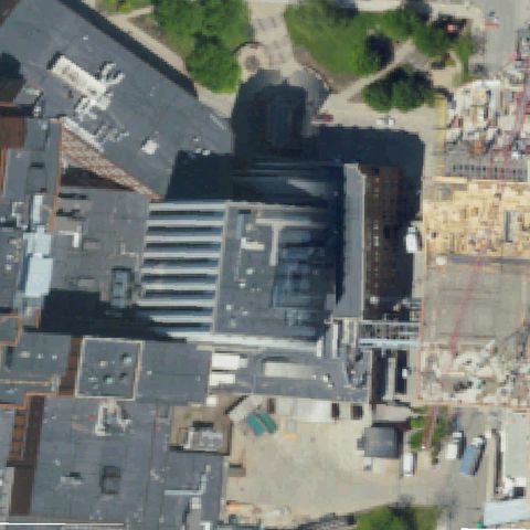
Dense multi-building hospital rooftop complex with no visible pad markings at center; active construction nearby.
Not visibleLONG POND, PA
41.0616388890001, -75.5092083329999
Open grass and asphalt area near raceway entrance; no helipad markings visible at image center.
Not visiblePORT ROYAL, PA
40.5355916670001, -77.3789166669999
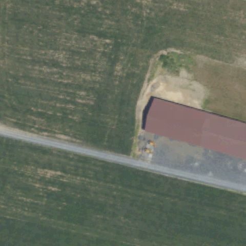
Farm property with outbuildings; no helipad markings visible at image center.
Not visibleRIDGWAY, PA
41.423694444, -78.731527778
Rural area with farm buildings; no helipad markings visible at image center.
Not visibleSHREWSBURY, PA
39.787413889, -76.648597222
Rural residential with farmstead; no helipad markings visible at image center.
Not visibleSPRING GROVE, PA
39.9042000000001, -76.9141999999999
Rural property with barns; no helipad markings visible at image center.
Not visibleSTEELTON, PA
40.2243194440001, -76.827841667
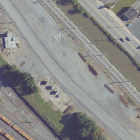
Industrial rail yard and steel plant; no helipad markings visible at image center.
Not visibleUNIONVILLE, PA
39.924830833, -75.696049444
Rural residential estate; no helipad markings visible at image center.
Not visibleVANDERGRIFT, PA
40.59815, -79.580852778
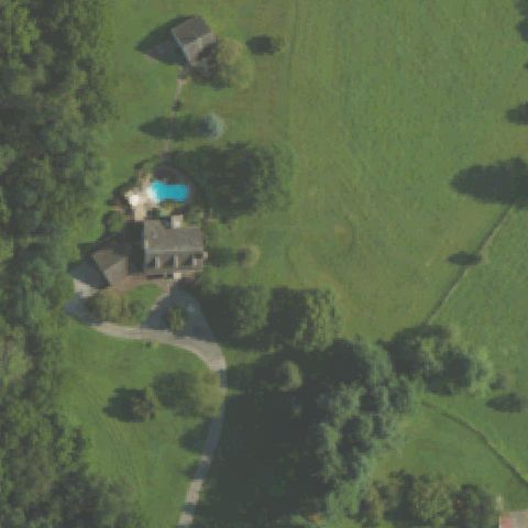
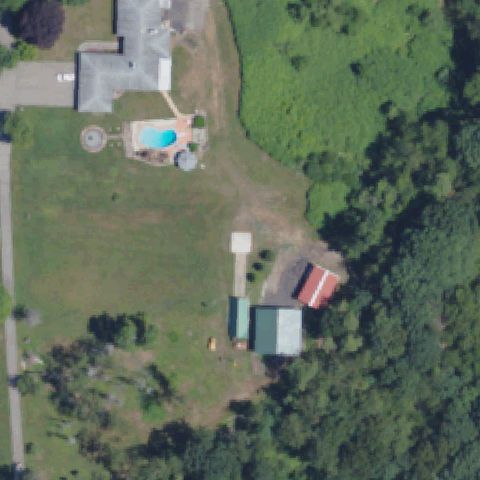
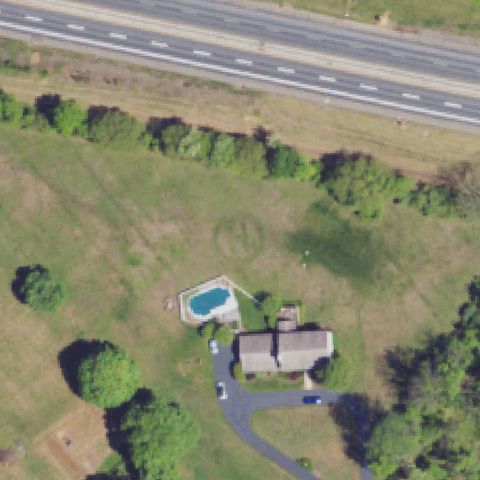
Rural residential with pool; no helipad markings visible at image center.
Not visibleWEST CHESTER, PA
39.9723777780001, -75.601763889
Hospital complex with parking and landscaping at center; no helipad markings visible.
Not visibleWEXFORD, PA
40.608855556, -80.0322944439999
Wooded residential area; no helipad markings visible at image center.
Not visibleWHITEHALL, PA
40.6742833330001, -75.5051
Commercial road area; no helipad markings visible at image center.
Not visibleWORCESTER, PA
40.191772778, -75.341289444
Wooded residential area; no helipad markings visible at image center.
Not visibleREADING, PA
40.3750927780001, -75.938542222
Road intersection and green space area; no helipad markings visible at image center.
Not visibleSHAMOKIN, PA
40.786525, -76.585211111
Wooded residential area; no helipad markings visible at image center.
Not visibleSOLEBURY, PA
40.3751055560001, -74.991279444
Rural road and field area; no helipad markings visible at image center.
Not visibleSUSQUEHANNA, PA
41.949786111, -75.588952778
Center shows sports fields, track, and parking area; a small white square is visible but consistent with a utility marker, not a prepared helipad.
Not visibleTROY, PA
41.7819944440001, -76.806288889
Entirely uniform green forested/grass field at image center with no structures or markings visible.
Not visibleWILKES-BARRE, PA
41.2583777780001, -75.866816667
Large multi-building hospital complex fills the image with flat rooftops but no clear helipad markings visible at center.
Not visibleWILLISTOWN, PA
39.9878866670001, -75.491035556
Rural estate with farmland and road at image center; no helipad markings or prepared pad visible.
Not visibleBUSHKILL TOWNSHIP, PA
40.8063888890001, -75.321666667
Center shows open green field with some small structures at the edge; no distinct helipad markings visible.
Not visibleKEMPTON, PA
40.622638889, -75.900833333
Image shows a golf course or open grass area; no helipad markings or prepared pad visible at center.
Not visibleHONESDALE, PA
41.5898361110001, -75.2619444439999
Center shows open grass/field with small buildings at edge; no helipad markings visible at the exact center location.
Not visibleNAZARETH, PA
40.796647222, -75.358125
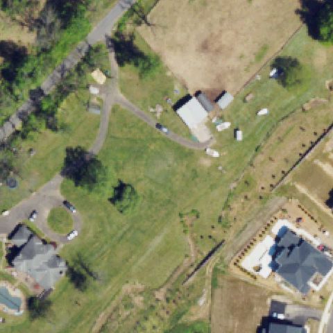
Rural residential area with open grass at image center; no helipad or landing pad visible.
Not visibleTANNERSVILLE, PA
41.0536222220001, -75.348277778
Image center shows forested/wooded mountain terrain with no visible helipad or landing area.
Not visibleSTROUDSBURG, PA
40.998341667, -75.261838889
Center shows a grassy median and parking lots with no pad markings.
Not visibleEASTON, PA
40.6512666670001, -75.2883555559999
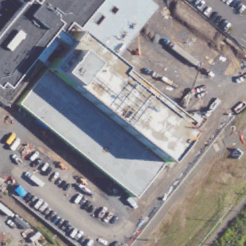
Center shows a hospital campus under construction with parking and building infrastructure; no helipad markings visible.
Not visibleLANCASTER, PA
40.0829000000001, -76.3844055559999
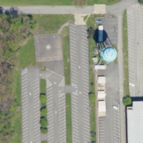
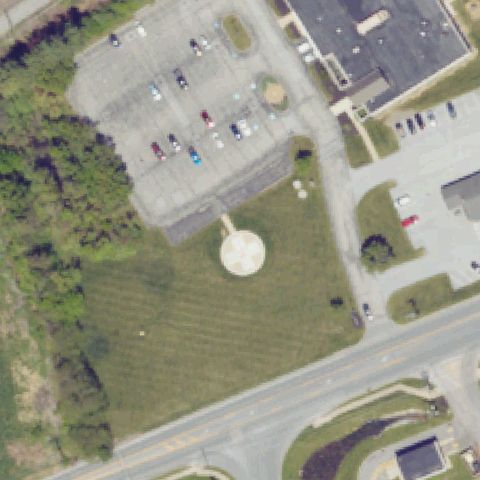
Center shows a hospital parking lot area with a water tower; small circular structure may be a water tank, no clear helipad markings.
Not visibleGREENSBURG, PA
40.320277778, -79.544166667
Parking lot area with a faint small circular marker visible; too faint and unclear to confirm as a helipad, could be paint artifact.
Not visibleYORK, PA
39.943055556, -76.594722222
Center is an open grassy field with a driveway and no helipad markings or prepared surface visible.
Not visibleCATAWISSA, PA
40.895, -76.481388889
Center is a crop field with a road and barn; no helipad markings or prepared pad visible.
Not visibleCRESSONA, PA
40.638938889, -76.1942194439999
Industrial/commercial area with mowed grass at center; no helipad markings or prepared surface visible.
Not visibleDOYLESTOWN, PA
40.375088889, -75.0568
Center is open grass fields with no helipad markings or prepared surface visible.
Not visibleSHAMOKIN, PA
40.803841667, -76.557822222
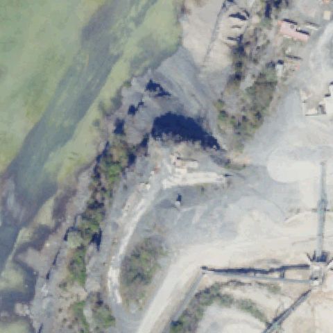
Gravel and dirt industrial/mine area at center with no helipad markings or prepared pad visible.
Not visibleLEBANON, PA
40.312413889, -76.419183333
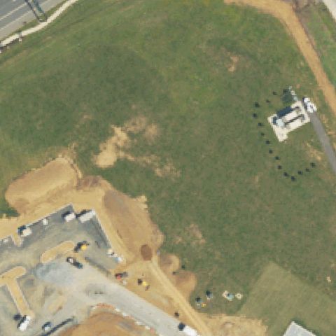
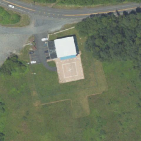
Active construction site with disturbed earth and equipment at center; no helipad markings visible.
Not visiblePITTSBURGH, PA
40.4470833330001, -79.96325
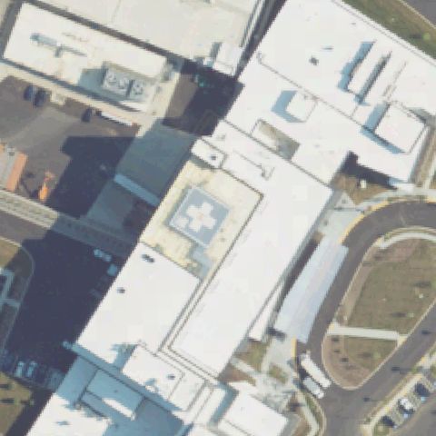
Large VA hospital complex at center with no discernible helipad markings on any rooftop surface visible.
Not visibleHARLEYSVILLE, PA
40.2717944440001, -75.362622222
Center is open grass near a building and road with no pad or markings visible.
Not visibleBELLEFONTE, PA
40.8583194440001, -77.7806666669999
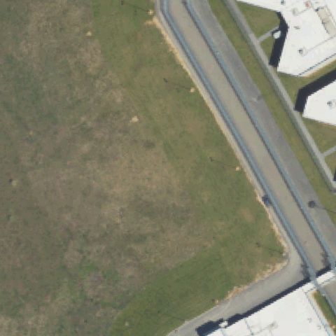
Prison campus with open grass field at center and no helipad markings or prepared pad visible.
Not visiblePLEASANTVILLE, PA
41.542213889, -79.506516667
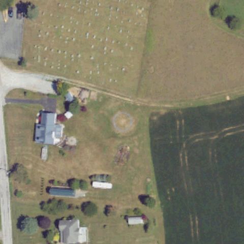
Rural field with road intersection and cemetery at center; no helipad markings or prepared surface visible.
Not visibleTHOMPSONTOWN, PA
40.5663277780001, -77.231097222
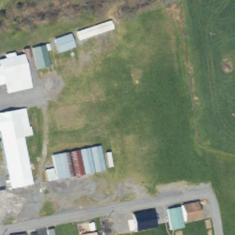
Center is a grassy area surrounded by agricultural sheds and buildings with no helipad markings visible.
Not visibleKENNETT SQUARE, PA
39.853683333, -75.699519444
Parking lot and vegetated slope at center with no helipad markings or prepared pad visible.
Not visibleNEWBURG, PA
40.1378083330001, -77.5418333329999
Center is an open grass field with no prepared pad or markings.
Not visibleWOOLRICH, PA
41.1949310000001, -77.378503
Open grass field with fire station buildings in the lower right; no helipad markings or prepared pad visible at center.
Off-centerABINGTON, PA
40.119238889, -75.119872222
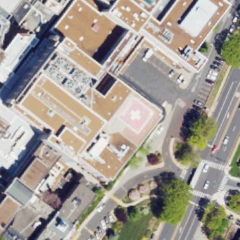
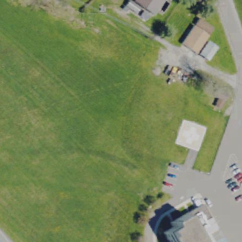
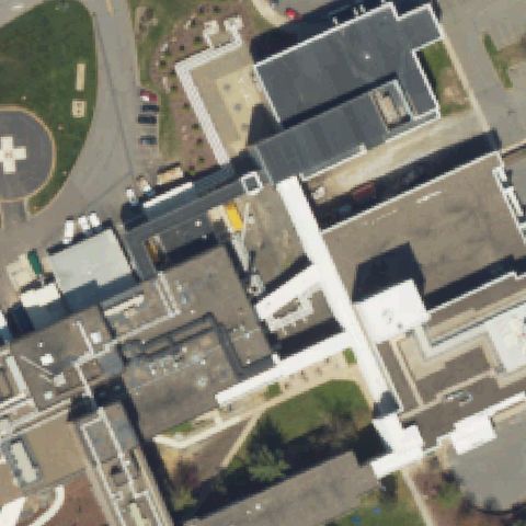
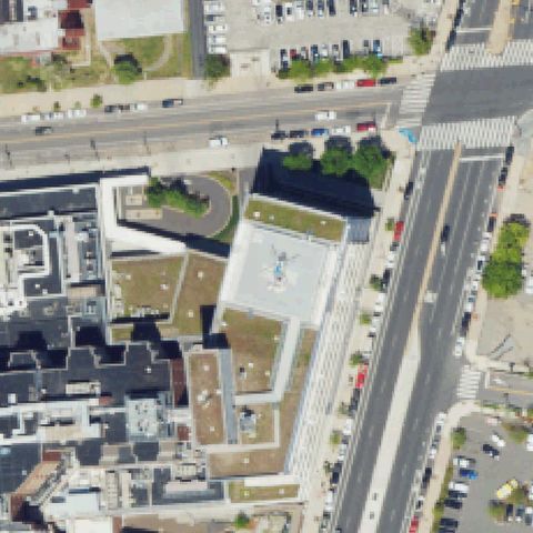
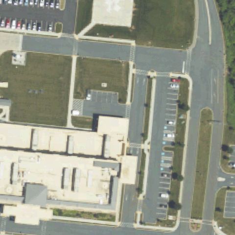
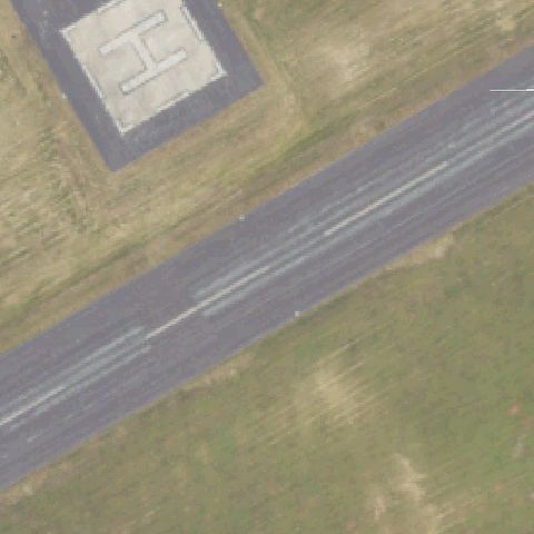
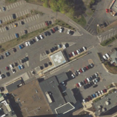
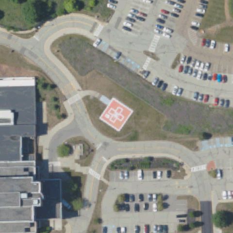
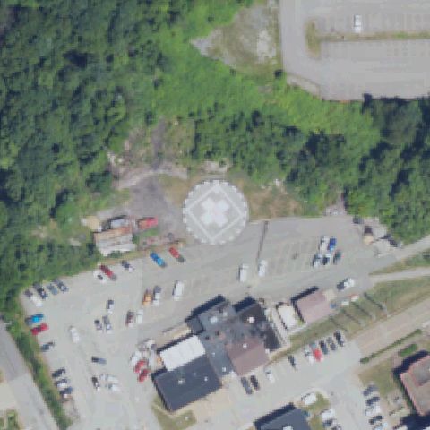
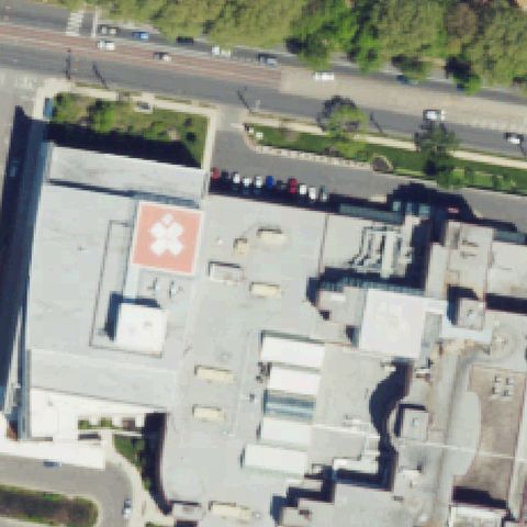
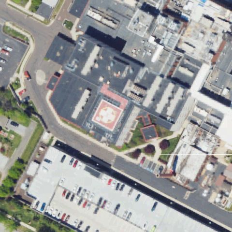
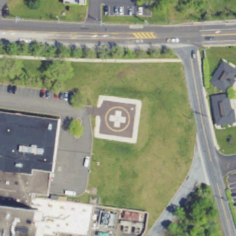
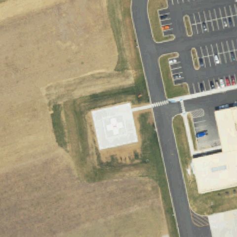
Distinct rooftop helipad with large white cross on pink/tan surface, positioned slightly toward lower-left of center.
Off-centerBLOOMSBURG, PA
41.0100416670001, -76.4522499999999
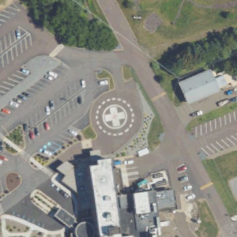
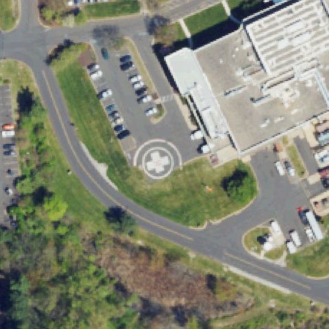
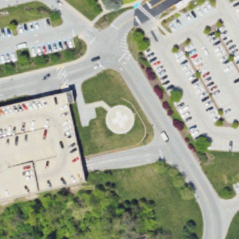
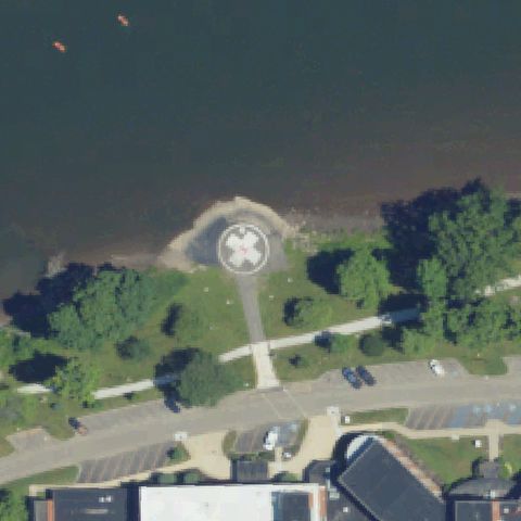
Clear ground circular helipad with white cross visible, located slightly upper-left of image center in hospital parking area.
Off-centerBUTLER, PA
40.8669350000001, -79.879895
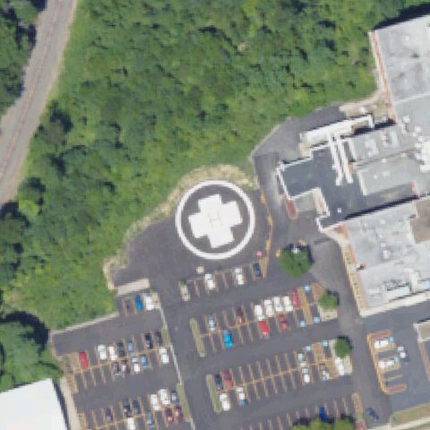
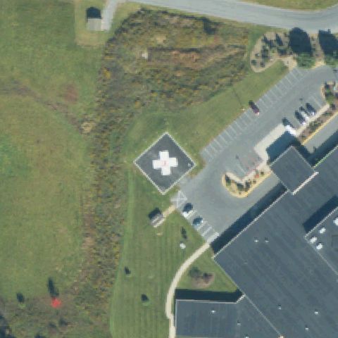
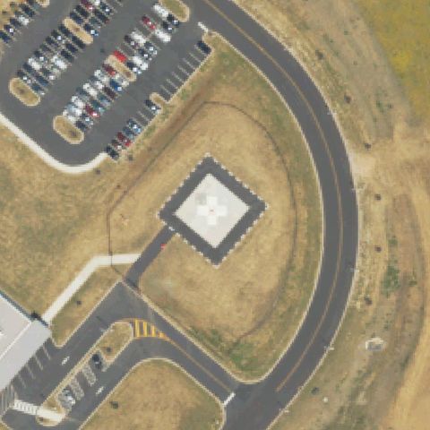
Ground circular helipad with white cross clearly visible, positioned slightly lower-left of image center near hospital.
Off-centerCHESTER, PA
39.8568500000001, -75.3688722219999
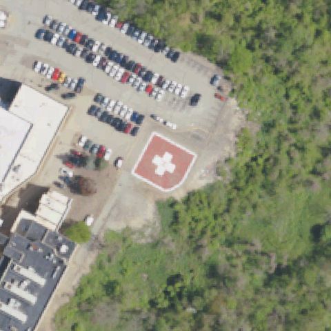
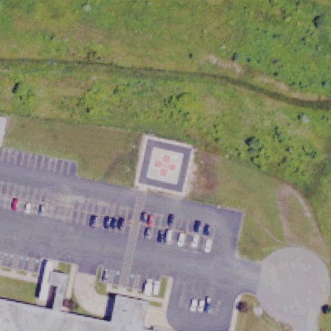
Ground circular pad with distinctive orange/red cross marking clearly visible, positioned slightly lower-left of center.
Off-centerBREINIGSVILLE, PA
40.5457416670001, -75.661855556
Ground circular helipad on concrete pad with circle marking visible, positioned slightly lower-center of image.
Off-centerCLARION, PA
41.192547222, -79.3983916669999
Circular pad area with faint cross markings visible slightly off center in hospital grounds.
Off-centerCLEARFIELD, PA
41.0340005, -78.450117889
Ground circular helipad with white cross marking clearly visible, positioned slightly off center to upper portion of image.
Off-centerCOALDALE, PA
40.820936111, -75.914722222
Ground circular pad with white cross marking visible near hospital, positioned slightly lower-left of image center.
Off-centerDOYLESTOWN, PA
40.3089694440001, -75.1484305559999
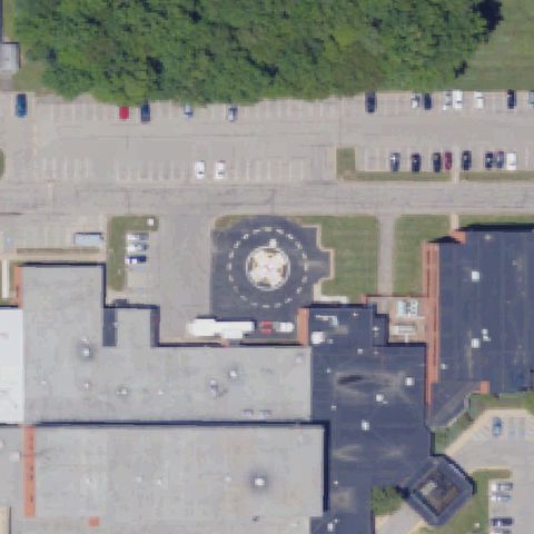
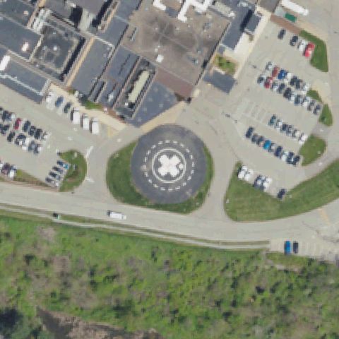
Ground circular helipad with white cross on dark asphalt pad clearly visible, positioned slightly left of image center.
Off-centerDOYLESTOWN, PA
40.2866138890001, -75.144338889
Ground pad with faint circular markings visible, positioned in upper portion of image, slightly off center.
Off-centerDUBOIS, PA
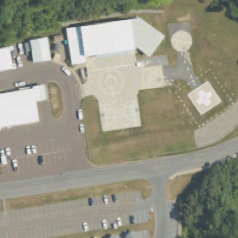
41.114652778, -78.7737861109999
Two circular pads visible; main helipad with cross marking is at lower-center, slightly off image center; construction ongoing nearby.
Off-centerEMPORIUM, PA
41.5135000000001, -78.248430556
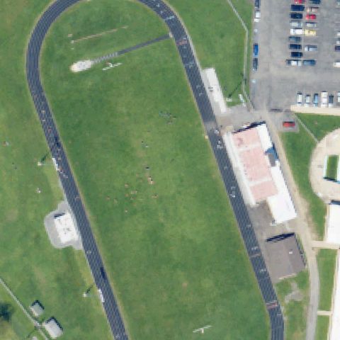
School athletic track field with white H marker visible on grass in the upper-left section, off center from image center.
Off-centerFAIRLESS HILLS, PA
40.1827166670001, -74.868008333
Ground circular helipad with white cross marking visible, positioned slightly left of image center near hospital.
Off-centerFLICKSVILLE, PA
40.8431944440001, -75.2053194439999
Paved industrial area with faint H and circle helipad markings visible, slightly off center to lower portion.
Off-centerGETTYSBURG, PA
39.784818611, -77.256651667
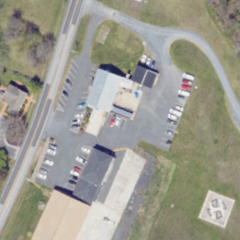
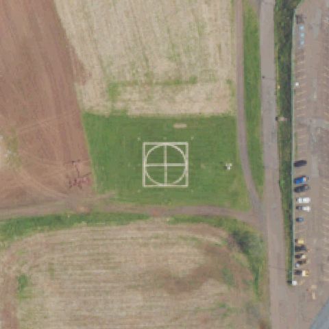
Small square grid pattern visible in lower-right area; appears to be a small helipad, off center from image center.
Off-centerHANOVER, PA
39.8080416670001, -76.982333333
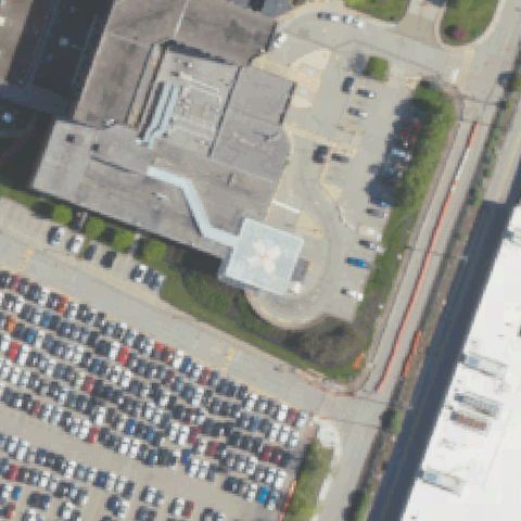
Hospital complex with a small rooftop pad area showing cross marking, slightly off center to lower portion.
Off-centerHORSHAM, PA
40.2020525, -75.178229167
H within painted circle on asphalt apron visible in lower-left quadrant, not at image center.
Off-centerLANCASTER, PA
40.0477777780001, -76.3035305559999
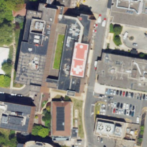
Rooftop pad with large red square and white H marking clearly visible in right-center area, not at image center.
Off-centerLANGHORNE, PA
40.2021111110001, -74.922672222
Square concrete pad with white cross and H marking visible in center-right area; pad is off-center from image midpoint.
Off-centerLANGHORNE, PA
40.2022000000001, -74.922938889
Square concrete pad with white cross marking visible in lower-center area; slightly off image center.
Off-centerLARGE, PA
40.318208333, -79.93405
Rooftop pad with H marking visible on hospital building in lower-center; pad is off the image center.
Off-centerLATROBE, PA
40.320277778, -79.393611111
Elevated square concrete pad with white cross and H clearly visible in right-center; slightly off image center.
Off-centerMCCONNELLSBURG, PA
39.9380555560001, -78.0074999999999
Ground pad with circle and H marking visible in upper-right quadrant; not at image center.
Off-centerMOUNT PLEASANT, PA
40.145349444, -79.550594167
Circular ground pad with white cross and H marking clearly visible in upper portion of image, off image center.
Off-centerPHILADELPHIA, PA
40.007334444, -75.2154575
Helipad with H circle is visible in the lower-left of the parking lot, clearly off the image center.
Off-centerLEWISBURG, PA
40.9792513890001, -76.885798333
Ground helipad with cross H marking visible in the upper portion of the image, slightly off center toward the top.
Off-centerMUNCY, PA
41.2107694440001, -76.773341667
Ground helipad with H marking visible in upper-center area of the image, slightly north of image center.
Off-centerPITTSBURGH, PA
40.4433388890001, -79.960566667
Rooftop helipad circle with cross marking visible but positioned slightly left of image center.
Off-centerRIDLEY PARK, PA
39.8585305560001, -75.319544444
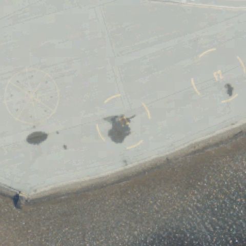
Large rooftop apron with helipad circle and number markings visible but pad is left of image center.
Off-centerSHAMOKIN, PA
40.8054916670001, -76.5700805559999
White circular ground pad with H marking visible, positioned slightly off center toward lower left.
Off-centerTOWANDA, PA
41.7848388890001, -76.449041667
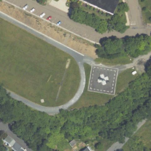
Square ground pad with white H cross marking visible, positioned slightly off center toward upper right.
Off-centerYORK, PA
39.944822222, -76.718213889
Hospital rooftop with circular helipad marking visible but positioned left of image center.
Off-centerPUNXSUTAWNEY, PA
40.961175278, -79.0008333329999
Circular pad with white cross marking visible near bottom of image, off-center from the FAA coordinate.
Off-centerREADING, PA
40.375113889, -75.9796388889999
Square asphalt pad with white H cross marking visible, slightly off-center toward right of image.
Off-centerUPPER MERION TOWNSHIP, PA
40.078586111, -75.329094444
Circular concrete pad visible on grass slightly off center from image midpoint near GlaxoSmithKline facility.
Off-centerTUNKHANNOCK, PA
41.5784097220001, -75.9704775
Ground pad with white cross marking visible in lower-right quadrant of image near hospital; FAA coordinate is slightly off from the actual pad.
Off-centerWILKES-BARRE, PA
41.257786111, -75.808205556
Ground H-pad with circle marking visible in upper-left portion of image; hospital complex center is not at the pad location.
Off-centerPHILADELPHIA, PA
39.959166667, -75.197777778
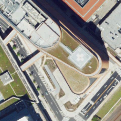
Rooftop helipad with white cross/H visible on building roof slightly off center in large urban medical complex.
Off-centerORWIGSBURG, PA
40.641916667, -76.091369444
Ground pad with H marking visible in parking/access road area; slightly off from image center.
Off-centerPHILADELPHIA, PA
39.9481138890001, -75.191497222
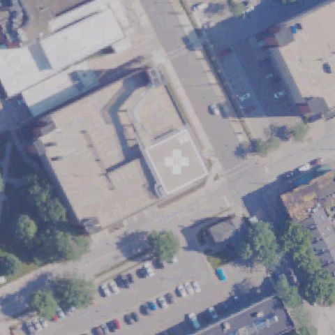
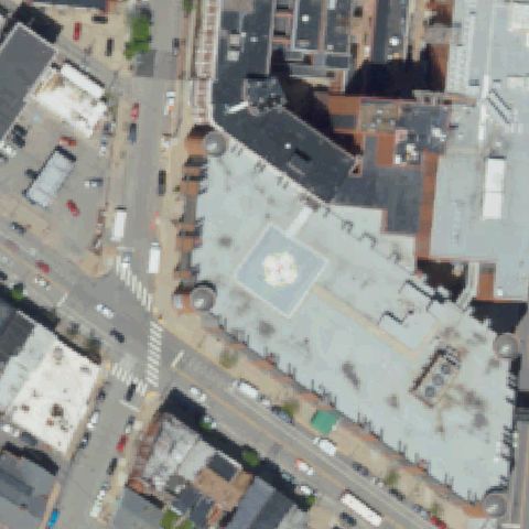
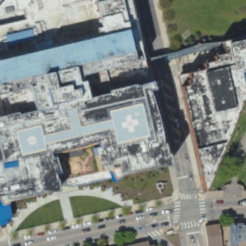
Elevated rooftop helipad with white cross marking on square pad visible in large Philadelphia hospital complex, slightly off image center.
Off-centerRED LION, PA
39.9208333330001, -76.487011111
Faint circular mowing pattern visible on grass slightly right of center near farmhouse, consistent with a grass landing area.
Off-centerMUNCY, PA
41.240047222, -76.8063999999999
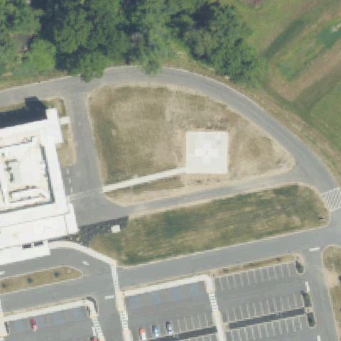
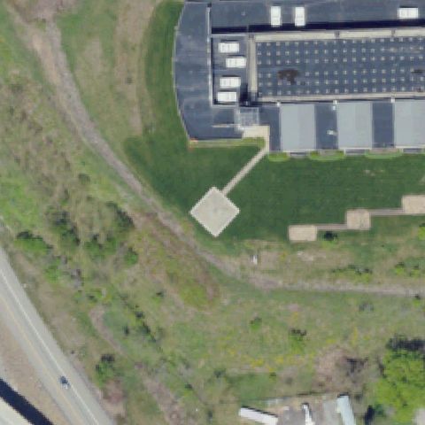
Distinct white concrete square pad visible to the right of center next to the hospital building, consistent with a ground helipad.
Off-centerGETTYSBURG, PA
39.8641666670001, -77.154722222
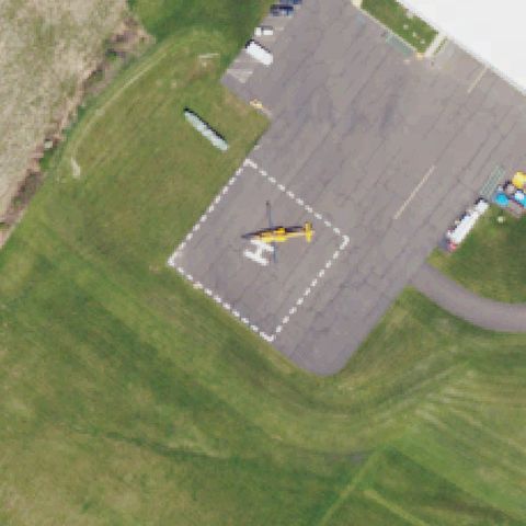
Concrete ground pad visible in lower-center area with a helicopter parked nearby; pad is slightly off center of the image.
Off-centerFORT INDIANTOWN GAP (ANNVILLE), PA
40.4352302500001, -76.5686314439999
Large military concrete helipad with prominent H marking clearly visible in the upper-left area of the image, slightly off center.
Off-centerMUNCY, PA
41.266666667, -76.810125
Dark circular pad with apparent H marking visible adjacent to a residential building, slightly right of center.
UncertainCHAMBERSBURG, PA
39.883425, -77.649713333
Industrial or quarry-like area with hazy imagery; no clear helipad markings visible at center.
UncertainERIE, PA
42.1120666670001, -80.080852778
Urban hospital complex with rooftops; no distinct helipad markings visible at image center, though one may be off-frame.
UncertainFOUNTAIN HILL, PA
40.608525, -75.394241667
Hospital complex with multiple rooftop sections visible; no clear H marking or touchdown pad identifiable at image center.
UncertainWINTERSTOWN, PA
39.824722222, -76.6299999999999
Rural property with mowed circle pattern in grass but no distinct helipad markings at image center.
UncertainMEYERSDALE, PA
39.8097222220001, -79.024166667
Autumn foliage obscures much of the center; buildings and parking visible but no clear helipad markings identifiable.
UncertainSELLERSVILLE, PA
40.3622222220001, -75.325805556
Hospital rooftop at center appears to be under renovation with no clear helipad H or circle markings discernible.
ConfirmedCARLISLE, PA
40.183330556, -77.222808333
Ground-level circular pad with H cross markings clearly visible near image center.
✓ Confirmed by AI vision with Claude Opus 4.8
ConfirmedBEAVER, PA
40.711338889, -80.321894444
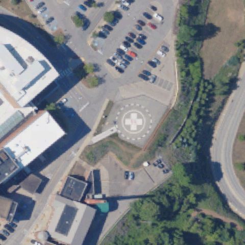
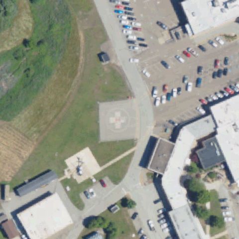
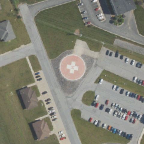
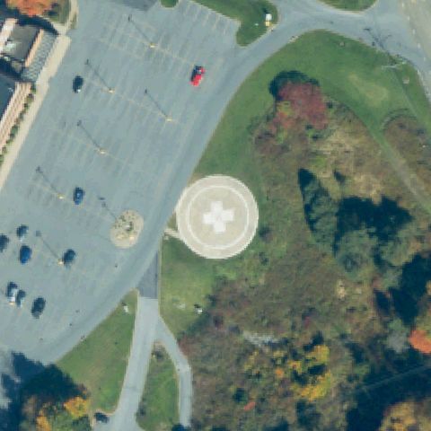
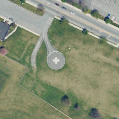
Ground circular pad with white cross marker clearly visible just left of center adjacent to hospital building.
✓ Confirmed by AI vision with Claude Opus 4.8
ConfirmedCHAMBERSBURG, PA
39.933022222, -77.645725
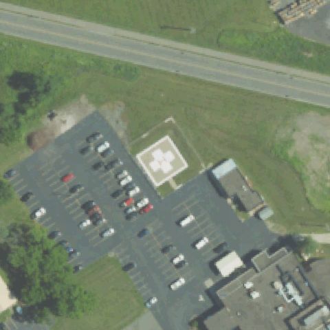
Ground circular helipad with white cross marking clearly visible near image center in grassy area surrounded by parking.
✓ Confirmed by AI vision with Claude Opus 4.8
ConfirmedALLENTOWN, PA
40.5655055560001, -75.523491667
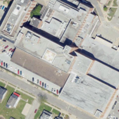
Rooftop helipad with faint circle and H markings visible at center of the hospital roof.
✓ Confirmed by AI vision with Claude Opus 4.8
ConfirmedALLENTOWN, PA
40.6010555560001, -75.475083333
Urban rooftop complex shows a faint circular outline near center consistent with a helipad; markings are faint due to imagery age.
✓ Confirmed by AI vision with Claude Opus 4.8
ConfirmedBENSALEM, PA
40.0708333330001, -74.9336111109999
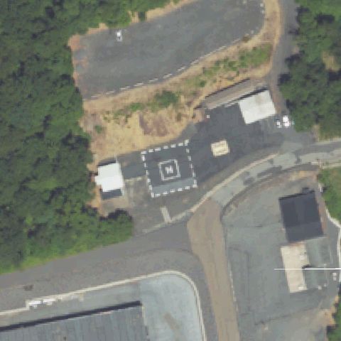
Very clear ground helipad with bold white H inside a square border painted on asphalt, right at image center.
✓ Confirmed by AI vision with Claude Opus 4.8
ConfirmedBERWYN, PA
40.0590194440001, -75.461388889
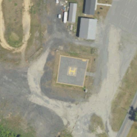
Clear ground helipad with yellow H inside a yellow square border on concrete pad, clearly visible at center.
✓ Confirmed by AI vision with Claude Opus 4.8
ConfirmedBRADFORD, PA
41.9499280000001, -78.666781611
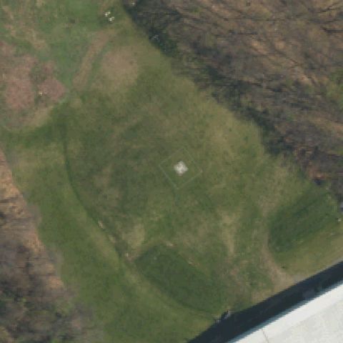
Open grass landing area with faint partial H marking visible near image center; low confidence due to faint markings.
✓ Confirmed by AI vision with Claude Opus 4.8
ConfirmedCARLISLE, PA
40.2035222220001, -77.163019444
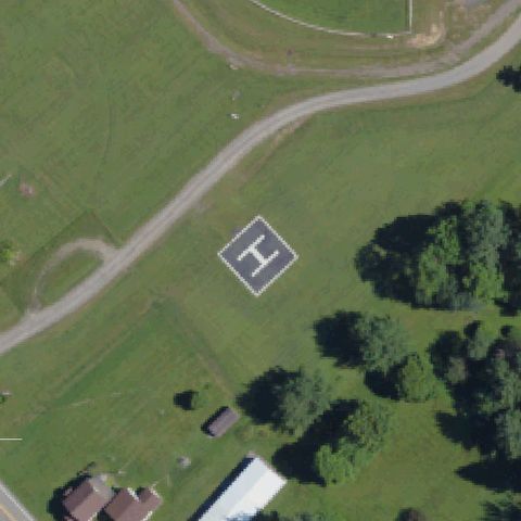
Very clear military helipad with white H on concrete square pad surrounded by grass, clearly at image center.
✓ Confirmed by AI vision with Claude Opus 4.8
ConfirmedCARLISLE, PA
40.2573333330001, -77.1364694439999
Private property helipad with clear H and circle markings on concrete pad, near image center.
✓ Confirmed by AI vision with Claude Opus 4.8
ConfirmedCOATESVILLE, PA
39.8932972220001, -75.8193138889999
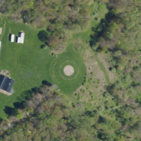
Open grass field with faint concentric circles indicating a grass landing area visible near image center.
✓ Confirmed by AI vision with Claude Opus 4.8
ConfirmedCOATSVILLE, PA
39.97875, -75.879941667
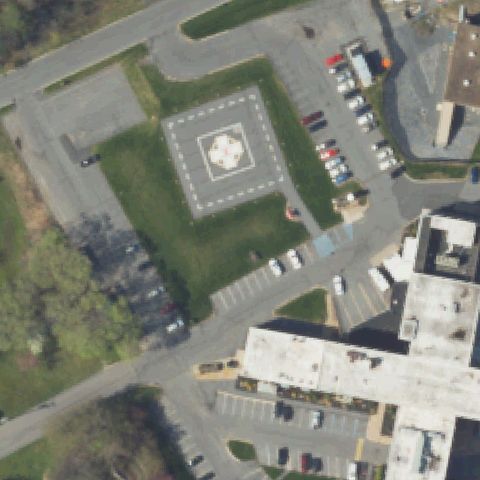
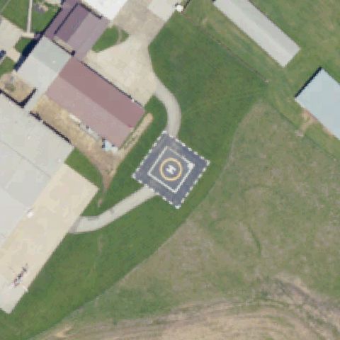
Clear painted H inside a dashed square marker near image center on a paved pad.
✓ Confirmed by AI vision with Claude Opus 4.8
ConfirmedCOLLEGEVILLE, PA
40.1586750000001, -75.4634305559999
Clear ground helipad with dark H on circular concrete pad with windsock visible nearby, near image center.
✓ Confirmed by AI vision with Claude Opus 4.8
ConfirmedLARKSVILLE BOROUGH, PA
41.259533333, -75.935247222
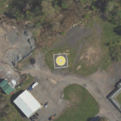
Clear helipad with yellow circle inside white square with H marking on concrete, clearly visible at image center.
✓ Confirmed by AI vision with Claude Opus 4.8
ConfirmedFARRELL, PA
41.2097416670001, -80.468819444
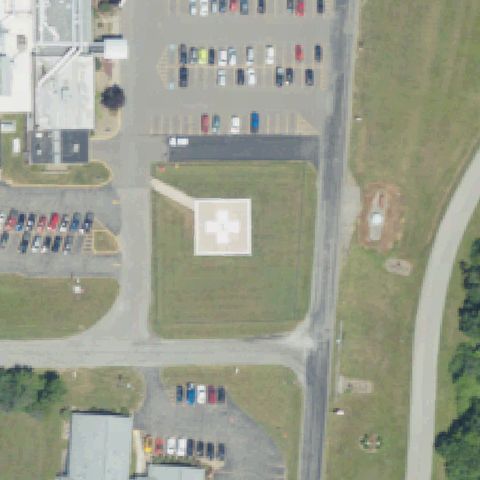
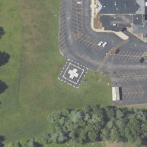
Clear ground helipad with white cross on concrete square pad clearly visible near image center.
✓ Confirmed by AI vision with Claude Opus 4.8
ConfirmedGETTYSBURG, PA
39.8246472220001, -77.235911111
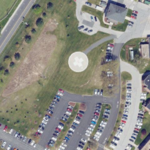
Ground circular helipad with white cross marking clearly visible near image center on hospital grounds.
✓ Confirmed by AI vision with Claude Opus 4.8
ConfirmedGETTYSBURG, PA
39.8493638890001, -77.184005556
Rooftop building with faint helicopter markings visible near center of the roof, consistent with a rooftop helipad.
✓ Confirmed by AI vision with Claude Opus 4.8
ConfirmedHARRISBURG, PA
40.2151027780001, -76.790194444
Ground circular pad with faint cross and H markings visible near image center on grassy area.
✓ Confirmed by AI vision with Claude Opus 4.8
ConfirmedHARRISBURG, PA
40.252258333, -76.9207361109999
Clear ground-level helipad with H and cross-in-circle marking at image center in grassy median area.
✓ Confirmed by AI vision with Claude Opus 4.8
ConfirmedHARRISBURG, PA
40.2577811940001, -76.8809525
Rooftop section near center shows a lighter rectangular pad area with faint cross/H marking visible.
✓ Confirmed by AI vision with Claude Opus 4.8
ConfirmedHONEY GROVE, PA
40.403583333, -77.5565833329999
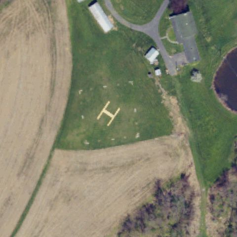
Bold yellow H painted on grass field is clearly visible at image center.
✓ Confirmed by AI vision with Claude Opus 4.8
ConfirmedHUNTINGDON, PA
40.4942750000001, -78.0091416669999
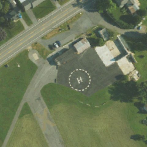
H within dashed circle on dedicated asphalt pad clearly visible near image center.
✓ Confirmed by AI vision with Claude Opus 4.8
ConfirmedKANE, PA
41.6711888890001, -78.8179083329999
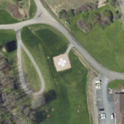
Square asphalt pad with white cross and H marking clearly visible just below image center.
✓ Confirmed by AI vision with Claude Opus 4.8
ConfirmedKITTANNING, PA
40.808212778, -79.563492361
Ground pad with red cross and H marking on concrete FATO clearly visible near image center.
✓ Confirmed by AI vision with Claude Opus 4.8
ConfirmedKUTZTOWN, PA
40.506847222, -75.787327778
H within dashed circle on asphalt pad clearly visible at image center adjacent to small medical building.
✓ Confirmed by AI vision with Claude Opus 4.8
ConfirmedCRANBERRY, PA
40.6837444440001, -80.097116667
Square elevated concrete pad with white cross and H prominently visible at image center.
✓ Confirmed by AI vision with Claude Opus 4.8
ConfirmedCROYDON, PA
40.0812777780001, -74.8942222219999
H marking on asphalt pad at an aviation facility clearly visible near image center.
✓ Confirmed by AI vision with Claude Opus 4.8
ConfirmedDANVILLE, PA
40.9726805560001, -76.604872222
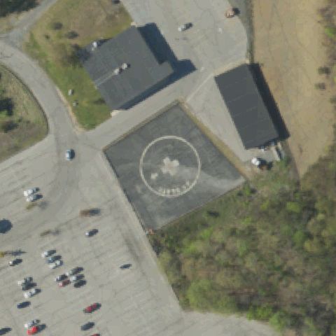
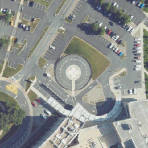
Large circular FATO with inner circle and H marking visible at center of image on concrete surface.
✓ Confirmed by AI vision with Claude Opus 4.8
ConfirmedDANVILLE, PA
40.9678910000001, -76.605721
Rooftop section at upper-center shows a lighter pad with faint H marking consistent with a hospital rooftop helipad.
✓ Confirmed by AI vision with Claude Opus 4.8
ConfirmedERIE, PA
42.1329555560001, -80.086230556
Rooftop pad with white cross and H marking visible on a parking garage rooftop near image center.
✓ Confirmed by AI vision with Claude Opus 4.8
ConfirmedGREENVILLE, PA
41.411763111, -80.3731304999999
Large circular pad with white cross and H marking on concrete clearly visible near image center.
✓ Confirmed by AI vision with Claude Opus 4.8
ConfirmedGROVE CITY, PA
41.171458333, -80.084916667
H within dashed circle on asphalt pad visible near image center in hospital complex.
✓ Confirmed by AI vision with Claude Opus 4.8
ConfirmedHASTINGS, PA
40.658333333, -78.706111111
Diamond-oriented square asphalt pad with white cross and H marking clearly visible at image center.
✓ Confirmed by AI vision with Claude Opus 4.8
ConfirmedHAZLETON, PA
40.949666667, -75.964544444
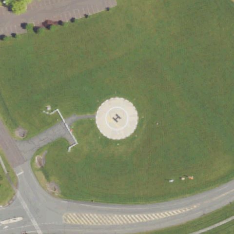
Concrete pad with white cross and H marking visible in parking lot area near image center.
✓ Confirmed by AI vision with Claude Opus 4.8
ConfirmedHERSHEY, PA
40.2651083330001, -76.6751555559999
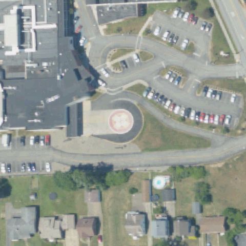
Circular elevated pad with H and dashed circle markings clearly visible at image center in hospital complex.
✓ Confirmed by AI vision with Claude Opus 4.8
ConfirmedHERSHEY, PA
40.261916667, -76.6847083329999
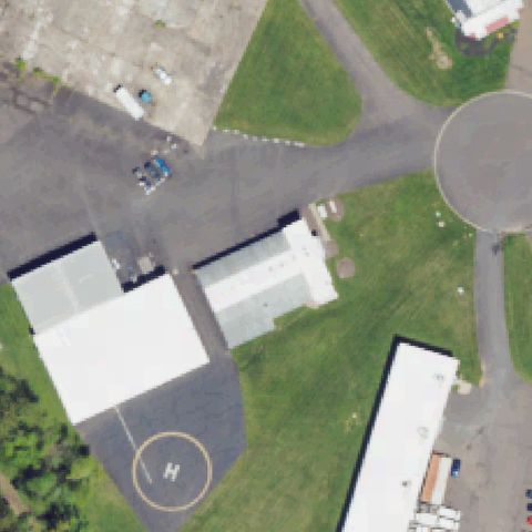
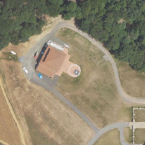
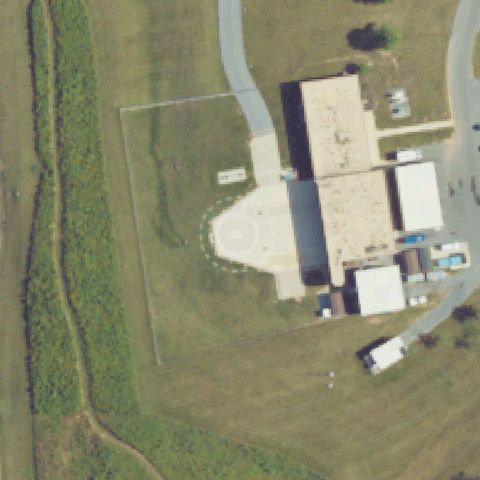
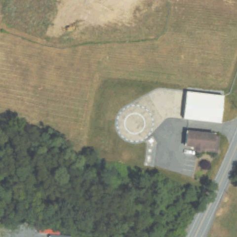
H within dashed circle on gravel/grass pad visible near image center at what appears to be a medevac hangar.
✓ Confirmed by AI vision with Claude Opus 4.8
ConfirmedINDIANA, PA
40.606738889, -79.156122222
Large circular concrete pad with bold H and circle marking clearly visible at image center.
✓ Confirmed by AI vision with Claude Opus 4.8
ConfirmedJESSUP, PA
41.455619444, -75.557844444
Tan concrete square pad visible near upper center; no clear H letter but prepared landing surface consistent with helipad.
✓ Confirmed by AI vision with Claude Opus 4.8
ConfirmedLANCASTER, PA
40.0649472220001, -76.351902778
Circular ground pad with white cross and H marking clearly visible near image center adjacent to hospital buildings.
✓ Confirmed by AI vision with Claude Opus 4.8
ConfirmedLANSDALE, PA
40.252388889, -75.2703333329999
Circular pad with white cross and H marking at center of image with a helicopter visibly parked on it.
✓ Confirmed by AI vision with Claude Opus 4.8
ConfirmedLEEPER, PA
41.3735222220001, -79.306608333
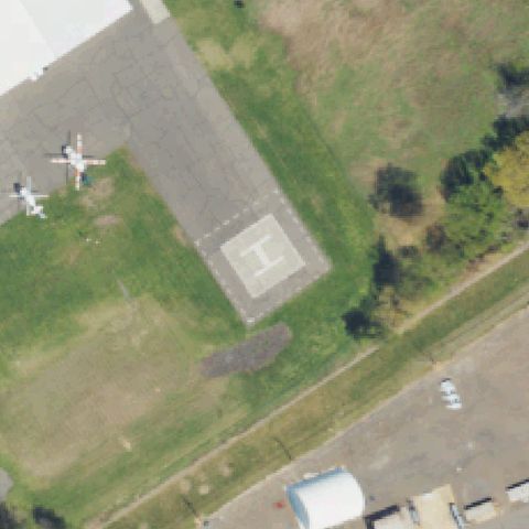
Diamond-oriented square asphalt pad with bold white H clearly visible at image center on grass airpark.
✓ Confirmed by AI vision with Claude Opus 4.8
ConfirmedLIONVILLE, PA
40.064902778, -75.6108055559999
Faint H and circular outline visible in grass field at image center; low confidence due to lack of contrast.
✓ Confirmed by AI vision with Claude Opus 4.8
ConfirmedLOCK HAVEN, PA
41.1319444440001, -77.470833333
Square concrete pad with white cross and H marking visible near image center.
✓ Confirmed by AI vision with Claude Opus 4.8
ConfirmedMEDIA, PA
39.913602778, -75.431719444
Red square pad with white cross and H marking on concrete clearly visible at image center; appears to be under construction nearby.
✓ Confirmed by AI vision with Claude Opus 4.8
ConfirmedMT. BETHEL, PA
40.9150333330001, -75.0887999999999
Faint circular outline with small white marker at center of grass field; low confidence but consistent with a grass helipad.
✓ Confirmed by AI vision with Claude Opus 4.8
ConfirmedMOUNT PLEASANT, PA
40.1081055560001, -79.547941667
Square asphalt pad with H within circle and outer square boundary markings clearly visible at image center.
✓ Confirmed by AI vision with Claude Opus 4.8
ConfirmedCOUDERSPORT, PA
41.771575, -77.9795333329999
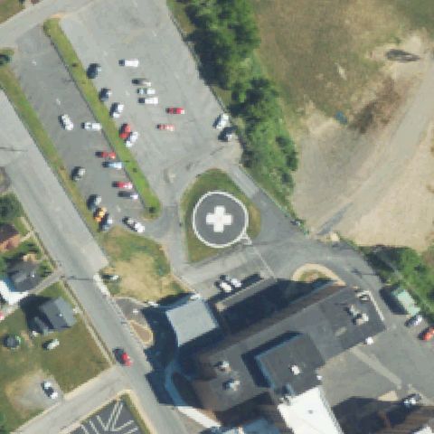
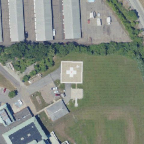
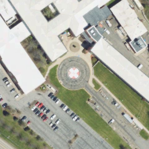
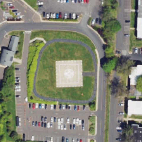
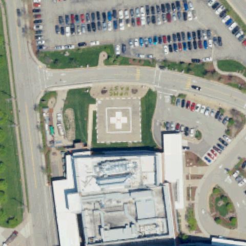
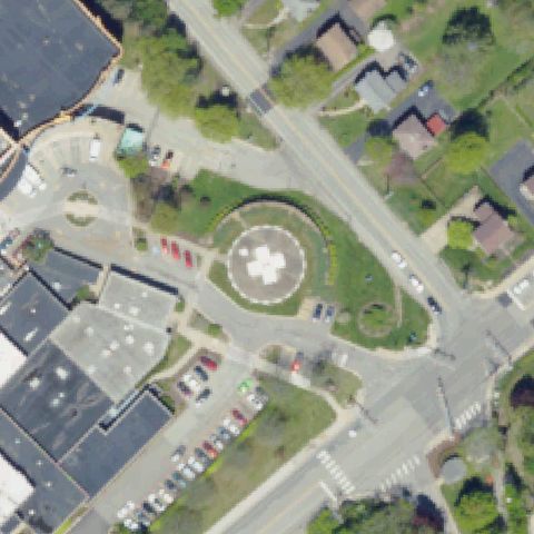
Clear ground-level circular helipad with red cross marking is prominently centered between hospital buildings.
✓ Confirmed by AI vision with Claude Opus 4.8
ConfirmedPAOLI, PA
40.0433055560001, -75.500138889
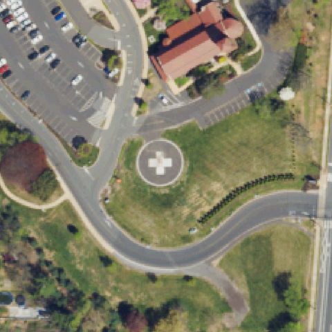
Distinct ground-level circular helipad with H cross marking visible in grassy median at image center.
✓ Confirmed by AI vision with Claude Opus 4.8
ConfirmedPHILADELPHIA, PA
40.0102000000001, -75.213477778
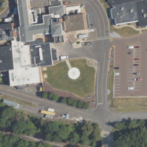
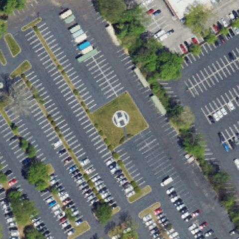
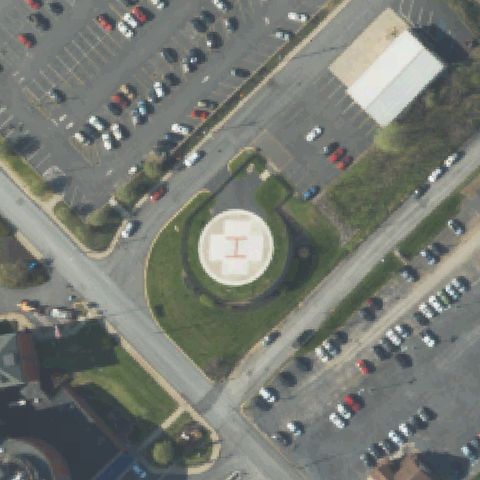
Ground-level helipad with prominent H marking in a grass island within a large parking lot is clearly visible at center.
✓ Confirmed by AI vision with Claude Opus 4.8
ConfirmedPHILADELPHIA, PA
39.988127778, -75.259611111
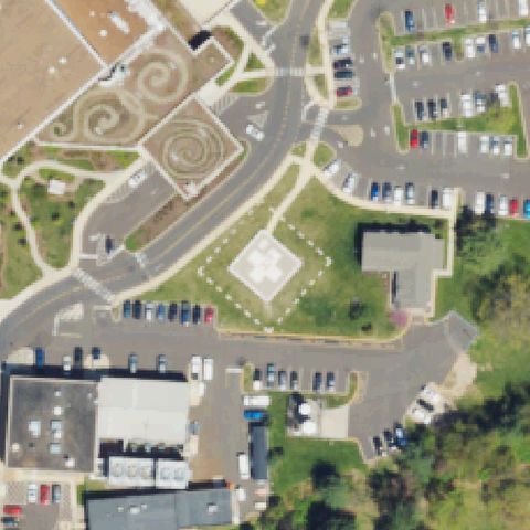
Ground-level circular helipad with white cross marking visible at center on grassy area adjacent to hospital.
✓ Confirmed by AI vision with Claude Opus 4.8
ConfirmedPHILADELPHIA, PA
40.1118888890001, -75.081333333
Large ground-level square helipad with white H cross marking prominently centered in the image.
✓ Confirmed by AI vision with Claude Opus 4.8
ConfirmedPITTSBURGH, PA
40.4542888890001, -79.939661111
Rooftop helipad with white cross marking visible on hospital building at image center.
✓ Confirmed by AI vision with Claude Opus 4.8
ConfirmedPITTSBURGH, PA
40.573372222, -80.011891667
Clear ground-level square/diamond concrete helipad pad visible in center of grassy area near hospital.
✓ Confirmed by AI vision with Claude Opus 4.8
ConfirmedPITTSBURGH, PA
40.4607920830001, -79.9466925
Ground-level circular helipad with cross marking visible near center of hospital campus.
✓ Confirmed by AI vision with Claude Opus 4.8
ConfirmedPITTSBURGH, PA
40.495072222, -80.010780556
Ground-level helipad with H marking visible at center; a helicopter is parked on the pad confirming its use.
✓ Confirmed by AI vision with Claude Opus 4.8
ConfirmedPITTSBURGH, PA
40.4886194440001, -79.895383333
Ground-level circular helipad with cross marking prominently centered near hospital entrance.
✓ Confirmed by AI vision with Claude Opus 4.8
ConfirmedPITTSBURGH, PA
40.4018861110001, -80.3117861109999
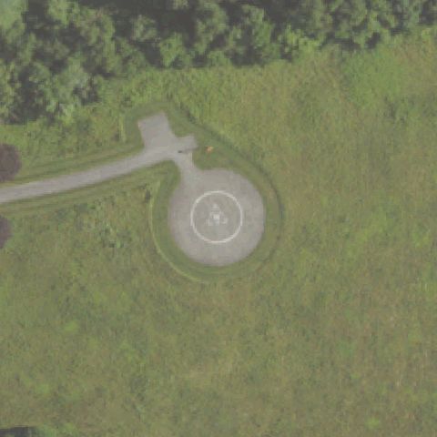
Private grass helipad with a circular ring and small concrete center pad visible at image center.
✓ Confirmed by AI vision with Claude Opus 4.8
ConfirmedPITTSBURGH, PA
40.4562871110001, -80.004165611
Ground-level circular helipad with white cross marking on hospital property clearly visible at image center.
✓ Confirmed by AI vision with Claude Opus 4.8
ConfirmedLEWISTOWN, PA
40.618063889, -77.566933333
Circular ground-level helipad with prominent H marking clearly visible at image center.
✓ Confirmed by AI vision with Claude Opus 4.8
ConfirmedMAHANOY, PA
40.795519444, -76.1770222219999
Ground-level square concrete helipad with triangle/cross marking visible at center of institutional compound.
✓ Confirmed by AI vision with Claude Opus 4.8
ConfirmedMARTINSBURG, PA
40.238127778, -78.305586111
Small faint square grass pad with possible border outline visible at image center; low confidence due to minimal markings.
✓ Confirmed by AI vision with Claude Opus 4.8
ConfirmedMEADVILLE, PA
41.642001889, -80.1450502499999
Ground-level circular helipad with white cross marking prominently visible at image center near hospital.
✓ Confirmed by AI vision with Claude Opus 4.8
ConfirmedMINERSVILLE, PA
40.693936111, -76.255047222
Ground-level asphalt square pad with inner square outline visible at center of industrial/fire company compound.
✓ Confirmed by AI vision with Claude Opus 4.8
ConfirmedMINERSVILLE, PA
40.6892444440001, -76.279605556
Ground-level concrete helipad with H marking visible adjacent to fire station/EMS building near image center.
✓ Confirmed by AI vision with Claude Opus 4.8
ConfirmedMONONGAHELA, PA
40.182188056, -79.909905
Ground-level square helipad with white cross marking clearly visible near hospital parking area at center.
✓ Confirmed by AI vision with Claude Opus 4.8
ConfirmedMONROEVILLE, PA
40.427586111, -79.7472333329999
Ground-level circular helipad with cross H marking clearly centered between hospital buildings.
✓ Confirmed by AI vision with Claude Opus 4.8
ConfirmedMONROEVILLE, PA
40.4372750000001, -79.760683333
Ground-level square helipad with large white H cross marking prominently centered in front of hospital.
✓ Confirmed by AI vision with Claude Opus 4.8
ConfirmedMURRYSVILLE, PA
40.4665166670001, -79.627705556
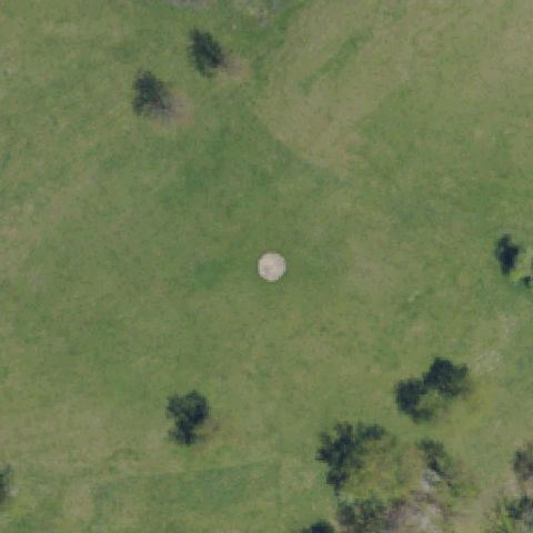
Small circular concrete spot visible in open grass field at image center; minimal markings but appears to be a private grass pad.
✓ Confirmed by AI vision with Claude Opus 4.8
ConfirmedNATRONA HEIGHTS, PA
40.619133333, -79.73785
Distinct ground-level circular helipad with white cross marking at image center adjacent to hospital.
✓ Confirmed by AI vision with Claude Opus 4.8
ConfirmedNAZARETH, PA
40.8002888890001, -75.338077778
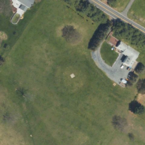
Small concrete pad visible in open grass field at lower center; low confidence due to faint markings and small size.
✓ Confirmed by AI vision with Claude Opus 4.8
ConfirmedNEWTOWN SQUARE, PA
39.987027778, -75.4159444439999
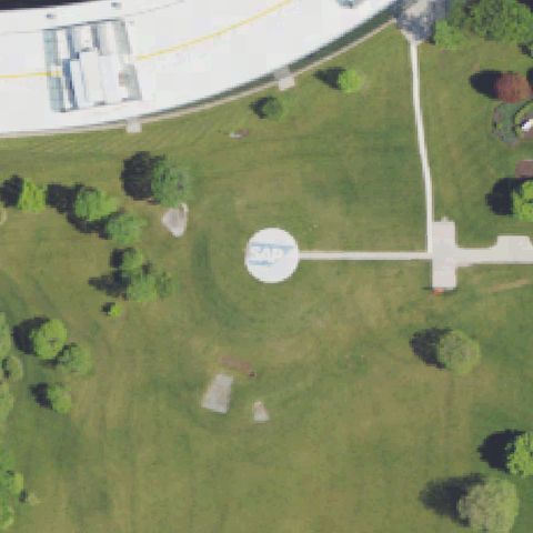
Circular ground pad with text markings ('SAP') visible in campus grounds at image center; appears to be a private helipad.
✓ Confirmed by AI vision with Claude Opus 4.8
ConfirmedNORTH WALES, PA
40.2158666670001, -75.280330556
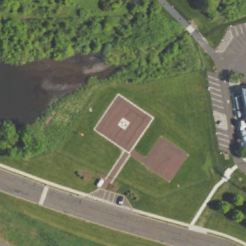
Ground-level square helipad with H/cross marking on grass plateau visible at image center.
✓ Confirmed by AI vision with Claude Opus 4.8
ConfirmedPERKASIE, PA
40.3466666670001, -75.230677778
Ground-level helipad with H marking visible at center; a helicopter is parked on the pad confirming active use.
✓ Confirmed by AI vision with Claude Opus 4.8
ConfirmedPHILADELPHIA, PA
40.069663889, -74.982397222
Ground-level circular helipad with white cross marking clearly centered in the image at hospital grounds.
✓ Confirmed by AI vision with Claude Opus 4.8
ConfirmedPHILADELPHIA, PA
40.036525, -75.1431388889999
Rooftop/ground helipad with prominent cross H marking visible at center of hospital complex.
✓ Confirmed by AI vision with Claude Opus 4.8
ConfirmedPHILADELPHIA, PA
39.9497111110001, -75.193058333
Rooftop helipad with circular outline and H marking visible at center of hospital building.
✓ Confirmed by AI vision with Claude Opus 4.8
ConfirmedPHILADELPHIA, PA
40.0069722220001, -75.1248305559999
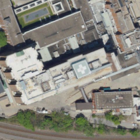
Rooftop helipad with prominent cross H marking visible on hospital building at image center.
✓ Confirmed by AI vision with Claude Opus 4.8
ConfirmedPHILADELPHIA, PA
39.9373350000001, -75.1412877779999
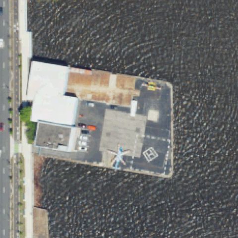
Waterfront concrete pad with H square marking visible; helicopter parked on it confirming active use as a heliport.
✓ Confirmed by AI vision with Claude Opus 4.8
ConfirmedPHILADELPHIA, PA
40.0057055560001, -75.150144444
Rooftop helipad with white H cross marking visible on hospital building at image center.
✓ Confirmed by AI vision with Claude Opus 4.8
ConfirmedPHILADELPHIA, PA
39.954834722, -75.178233889
Rooftop area with circular helipad and H marking visible at center of the building complex.
✓ Confirmed by AI vision with Claude Opus 4.8
ConfirmedPHOENIXVILLE, PA
40.123316667, -75.515763889
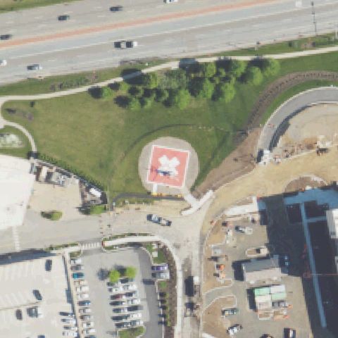
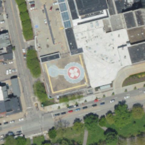
Large white H in red cross square clearly visible on rooftop at image center.
✓ Confirmed by AI vision with Claude Opus 4.8
ConfirmedPITTSBURGH, PA
40.378425, -80.065363889
Ground circular pad with white H cross marking clearly visible at image center.
✓ Confirmed by AI vision with Claude Opus 4.8
ConfirmedPITTSBURGH, PA
40.4666083330001, -79.952669444
Rooftop helipad with large white cross marking clearly visible near image center.
✓ Confirmed by AI vision with Claude Opus 4.8
ConfirmedPOCONO LAKE, PA
41.1001055560001, -75.5820555559999
Circular ground pad with white H marking and dashed perimeter clearly visible at image center.
✓ Confirmed by AI vision with Claude Opus 4.8
ConfirmedPOTTSTOWN, PA
40.243513889, -75.611233333
Square ground pad with yellow circle and white H cross clearly visible near image center.
✓ Confirmed by AI vision with Claude Opus 4.8
ConfirmedPOTTSVILLE, PA
40.6903675, -76.1921652779999
Square asphalt pad with dashed border and white H cross marking clearly visible at image center.
✓ Confirmed by AI vision with Claude Opus 4.8
ConfirmedPOTTSVILLE, PA
40.6857944440001, -76.210658333
Ground pad with dashed square perimeter and white H marking clearly visible at image center.
✓ Confirmed by AI vision with Claude Opus 4.8
ConfirmedROARING SPRING, PA
40.3396638890001, -78.3899083329999
Red circular ground pad with large white cross marking clearly visible at image center.
✓ Confirmed by AI vision with Claude Opus 4.8
ConfirmedSHARON, PA
41.231694444, -80.496608333
Square ground pad with white cross marking clearly visible near image center.
✓ Confirmed by AI vision with Claude Opus 4.8
ConfirmedSTATE COLLEGE, PA
40.819377778, -77.842972222
Rooftop section with white cross marking visible at image center on hospital building.
✓ Confirmed by AI vision with Claude Opus 4.8
ConfirmedTOBYHANNA, PA
41.198344444, -75.436594444
Large H marking with corner chevrons on asphalt square pad clearly visible at image center.
✓ Confirmed by AI vision with Claude Opus 4.8
ConfirmedTYRONE, PA
40.675127778, -78.2508722219999
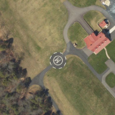
Circular ground pad with white H marking clearly visible near image center.
✓ Confirmed by AI vision with Claude Opus 4.8
ConfirmedUNIONTOWN, PA
39.900909444, -79.7447663889999
Circular pad with dashed perimeter and white cross marking clearly visible near image center.
✓ Confirmed by AI vision with Claude Opus 4.8
ConfirmedWEST GROVE, PA
39.8225694440001, -75.888116667
Square ground pad with white cross marking clearly visible near image center.
✓ Confirmed by AI vision with Claude Opus 4.8
ConfirmedWEST READING, PA
40.329758333, -75.949786111
Rooftop section with white cross marking visible at image center on hospital building.
✓ Confirmed by AI vision with Claude Opus 4.8
ConfirmedYORK, PA
39.9830027780001, -76.7688527779999
Circular concrete pad with white H marking clearly visible near image center.
✓ Confirmed by AI vision with Claude Opus 4.8
ConfirmedYORK, PA
39.9439, -76.742333333
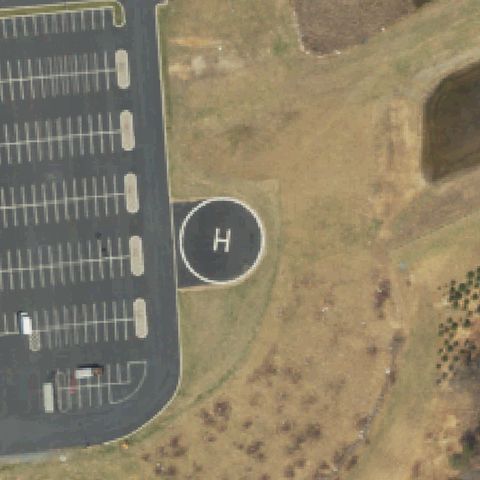
Circular concrete pad with white H marking clearly visible at image center.
✓ Confirmed by AI vision with Claude Opus 4.8
ConfirmedREADING, PA
40.373708333, -75.936858333
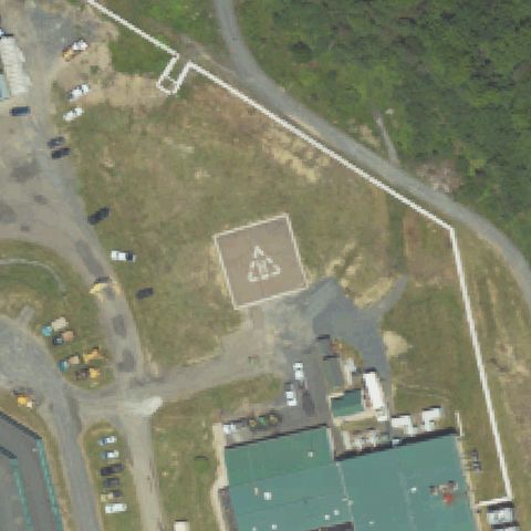
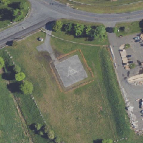
Square concrete pad with faded triangle marking visible at image center; appears to be a helipad pad.
✓ Confirmed by AI vision with Claude Opus 4.8
ConfirmedST MARY'S, PA
41.425744444, -78.5772666669999
Circular concrete pad with white H marking clearly visible at image center.
✓ Confirmed by AI vision with Claude Opus 4.8
ConfirmedSANATOGA, PA
40.226472222, -75.5832
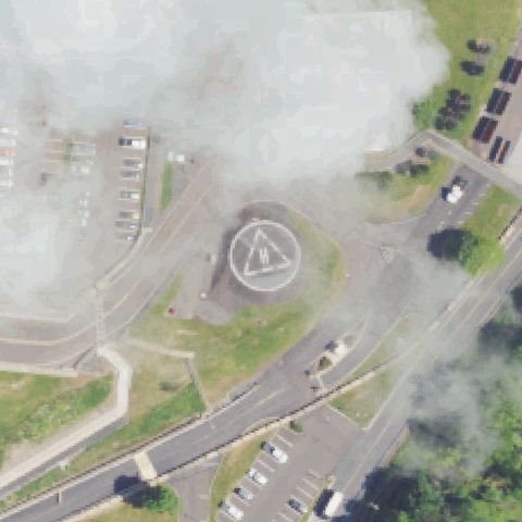
Ground pad with circle and H marking visible at center, partially obscured by cloud cover.
✓ Confirmed by AI vision with Claude Opus 4.8
ConfirmedSAYRE, PA
41.9794388890001, -76.520536111
Square ground pad with white cross marking clearly visible near image center.
✓ Confirmed by AI vision with Claude Opus 4.8
ConfirmedSCRANTON, PA
41.4000638890001, -75.646475
Rooftop pad with white H cross marking visible at image center on hospital building.
✓ Confirmed by AI vision with Claude Opus 4.8
ConfirmedSCRANTON, PA
41.3990527780001, -75.643122222
Square ground pad with white H cross marking clearly visible at image center.
✓ Confirmed by AI vision with Claude Opus 4.8
ConfirmedSENECA, PA
41.3623277780001, -79.700722222
Circular concrete pad visible near image center with faint markings; likely a helipad.
✓ Confirmed by AI vision with Claude Opus 4.8
ConfirmedSOMERSET, PA
40.007044444, -79.077372222
Rooftop pad with white H cross marking visible at image center on hospital building.
✓ Confirmed by AI vision with Claude Opus 4.8
ConfirmedSOMERSET, PA
40.0300472220001, -79.081780556
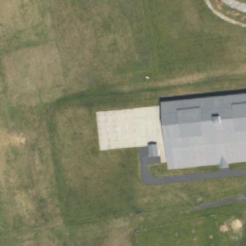
EMS base with concrete pad/apron at center adjacent to hangar building; plain pad with no visible painted markings but consistent with EMS helipad.
✓ Confirmed by AI vision with Claude Opus 4.8
ConfirmedSOUTH RENOVO, PA
41.3271861110001, -77.736216667
Clearly visible square concrete ground pad with white cross/H marking at image center adjacent to medical facility.
✓ Confirmed by AI vision with Claude Opus 4.8
ConfirmedTOWER CITY, PA
40.5873722220001, -76.5435388889999
Circular pad outline visible on gravel/dirt surface at image center with a small raised structure in the middle.
✓ Confirmed by AI vision with Claude Opus 4.8
ConfirmedWARREN, PA
41.8440322220001, -79.154672917
Clear circular concrete helipad with white cross marking visible near waterfront at image center.
✓ Confirmed by AI vision with Claude Opus 4.8
ConfirmedWASHINGTON, PA
40.1831666670001, -80.246166667
Rooftop helipad with distinct H marking on a square pad clearly visible on hospital roof at image center.
✓ Confirmed by AI vision with Claude Opus 4.8
ConfirmedWATSONTOWN, PA
41.094166667, -76.859444444
Circular concrete pad with white circle marking visible on cleared property; appears to be a private helipad.
✓ Confirmed by AI vision with Claude Opus 4.8
ConfirmedWELLSBORO, PA
41.7250500000001, -77.287497222
Square concrete ground pad with white cross/H marking clearly visible on grass at image center.
✓ Confirmed by AI vision with Claude Opus 4.8
ConfirmedWICONISCO, PA
40.5697500000001, -76.69595
Large square asphalt ground pad with prominent yellow H marking clearly visible at image center near fire company buildings.
✓ Confirmed by AI vision with Claude Opus 4.8
ConfirmedWILLIAMSPORT, PA
41.2474472220001, -77.015272222
Rooftop helipad with white cross/H marking clearly visible on hospital building roof at image center.
✓ Confirmed by AI vision with Claude Opus 4.8
ConfirmedNEW CASTLE, PA
41.0126861110001, -80.351711111
Circular ground pad with dashed white circle marking clearly visible at image center near UPMC Jameson hospital.
✓ Confirmed by AI vision with Claude Opus 4.8
ConfirmedSKIPPACK, PA
40.232227778, -75.4363361109999
Large square concrete pad visible near building at image center; appears to be a prepared helipad for the correctional facility.
✓ Confirmed by AI vision with Claude Opus 4.8
ConfirmedCONSHOHOCKEN, PA
40.069583333, -75.302361111
Rectangular concrete pad visible on grassy area near river at image center; appears to be a helipad without visible H marking.
✓ Confirmed by AI vision with Claude Opus 4.8
ConfirmedLITITZ, PA
40.133027778, -76.310777778
Ground helipad with dashed circle marking and cross visible at image center; clear landing area for UPMC Lititz.
✓ Confirmed by AI vision with Claude Opus 4.8
ConfirmedJOHNSTOWN, PA
40.3055555560001, -78.918055556
Ground helipad with white H on red square pad clearly visible at image center near Conemaugh Memorial Medical Center.
✓ Confirmed by AI vision with Claude Opus 4.8
ConfirmedEVERETT, PA
40.0256666670001, -78.4336638889999
Ground helipad with white cross/H in circle marking visible in parking area at image center near UPMC Bedford.
✓ Confirmed by AI vision with Claude Opus 4.8
ConfirmedORWIGSBURG, PA
40.6510277780001, -76.1141111109999
Circular concrete pad with white circle outline visible on cleared property at image center; private helipad.
✓ Confirmed by AI vision with Claude Opus 4.8
ConfirmedCONNELLSVILLE, PA
40.0246394440001, -79.576177361
Clear ground helipad with white cross/H in circle marking visible on grass field at image center near Penn Highlands Hospital.
✓ Confirmed by AI vision with Claude Opus 4.8
ConfirmedHARBORCREEK, PA
42.172, -79.942833333
Ground helipad with white H in dashed circle marking clearly visible on concrete pad at image center near medevac facility.
✓ Confirmed by AI vision with Claude Opus 4.8
ConfirmedMONTROSE, PA
41.8380916670001, -75.837361111
Ground pad with white cross/H marking visible at image center near Endless Mountains Health Systems hospital.
✓ Confirmed by AI vision with Claude Opus 4.8
ConfirmedRICHFIELD, PA
40.6843027780001, -77.1264305559999
Clear concrete ground pad with white H marking visible at image center on rural property.
✓ Confirmed by AI vision with Claude Opus 4.8
ConfirmedCALLERY, PA
40.7361666670001, -80.039594444
Paved circular pad with H marking visible at image center on private property with a driveway.
✓ Confirmed by AI vision with Claude Opus 4.8
ConfirmedPHILADELPHIA, PA
39.9015444440001, -75.161344444
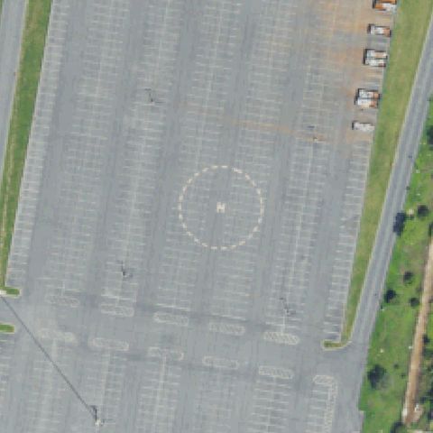
Large parking lot with a white H in dashed circle marking clearly visible at image center; sports complex emergency landing area.
✓ Confirmed by AI vision with Claude Opus 4.8
ConfirmedWORCESTER, PA
40.1921833330001, -75.313838889
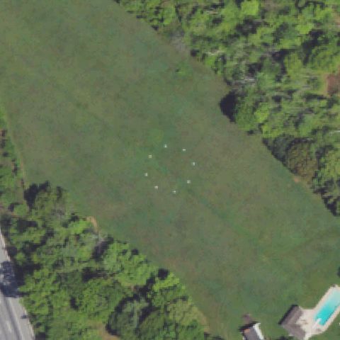
Open grass field with faint white dot markers forming a circle at image center; low confidence as no H marking visible but circle pattern suggests helipad.
✓ Confirmed by AI vision with Claude Opus 4.8
ConfirmedMONTOURSVILLE, PA
41.246597222, -76.9396
Small concrete helipad with H marking visible on flat ground near parked vehicles at image center.
✓ Confirmed by AI vision with Claude Opus 4.8
ConfirmedBETHLEHEM, PA
40.645555556, -75.40725
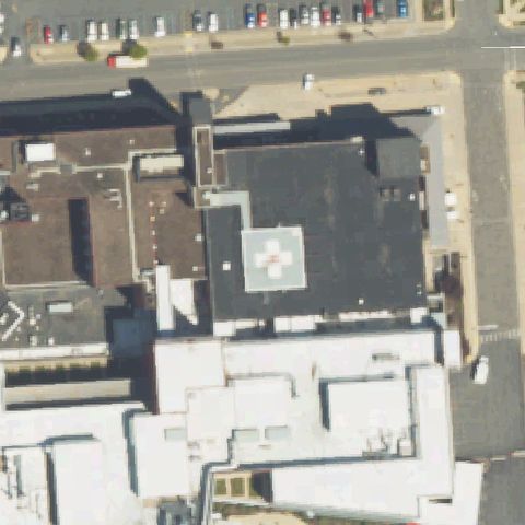
Rooftop helipad with white cross/H marking clearly visible on hospital building roof at image center.
✓ Confirmed by AI vision with Claude Opus 4.8
ConfirmedWEXFORD, PA
40.636041667, -80.062813056
Rooftop helipad with white cross/H marking clearly visible on Allegheny Wexford hospital roof at image center.
✓ Confirmed by AI vision with Claude Opus 4.8
ConfirmedMARS, PA
40.7054555560001, -80.0308805559999
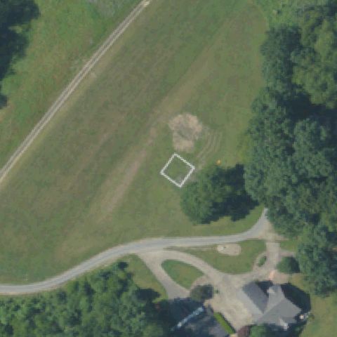
White square outline marking visible on open grass field at image center; appears to be a grass helipad with boundary marker only.
✓ Confirmed by AI vision with Claude Opus 4.8
ConfirmedCORRY, PA
41.9370166670001, -79.612280556
Concrete ground pad with red/pink cross marking visible at image center near Corry Memorial Hospital.
✓ Confirmed by AI vision with Claude Opus 4.8
ConfirmedLEHIGHTON, PA
40.8115527780001, -75.746886111
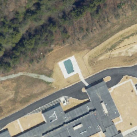
New construction site with a square pad with green surface (TLOF marker) visible at image center; new hospital helipad.
✓ Confirmed by AI vision with Claude Opus 4.8
ConfirmedEASTON, PA
40.697908333, -75.280213889
Ground helipad with white cross/H in circle marking clearly visible at image center for Lehigh Valley Hospital Hecktown Oaks.
✓ Confirmed by AI vision with Claude Opus 4.8
ConfirmedSCHNECKSVILLE, PA
40.6800000000001, -75.636666667
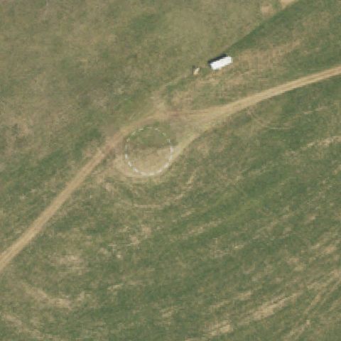
Faint dashed circle pattern visible on open grass field at image center; low confidence private grass helipad.
✓ Confirmed by AI vision with Claude Opus 4.8
ConfirmedSTATE COLLEGE, PA
40.819361111, -77.805175
Faint dashed circle visible on open grass field at image center; low confidence private grass helipad marking.
✓ Confirmed by AI vision with Claude Opus 4.8
ConfirmedDICKSON CITY, PA
41.453188889, -75.6326722219999
Clear rooftop helipad with large white H and circle marking visible at the center of the hospital building.
✓ Confirmed by AI vision with Claude Opus 4.8
ConfirmedJERSEY SHORE, PA
41.2025333330001, -77.268127778
Clear rooftop helipad with prominent white cross/H and circle marking centered on the hospital building roof.
✓ Confirmed by AI vision with Claude Opus 4.8
ConfirmedSTEVENS, PA
40.213534, -76.1486839999999
Very clear concrete ground pad with painted circle and H marking centered in the image next to a fire station.
✓ Confirmed by AI vision with Claude Opus 4.8
ConfirmedEAST NORRITON, PA
40.151944444, -75.343333333
Circular mowing pattern consistent with a grass helipad visible at center, though no painted H is clearly discernible.
✓ Confirmed by AI vision with Claude Opus 4.8
ConfirmedLEHIGHTON, PA
40.8451250000001, -75.672280556
Clear concrete ground helipad with white cross/H marking on a square pad centered in the image adjacent to the hospital.
✓ Confirmed by AI vision with Claude Opus 4.8
ConfirmedWAYNESBORO, PA
39.751027778, -77.5697777779999
Clear ground helipad with circular asphalt pad and white cross/H marking centered in the image on a grassy hospital campus.
✓ Confirmed by AI vision with Claude Opus 4.8
ConfirmedPOCONO MANOR, PA
41.0979944440001, -75.387386111
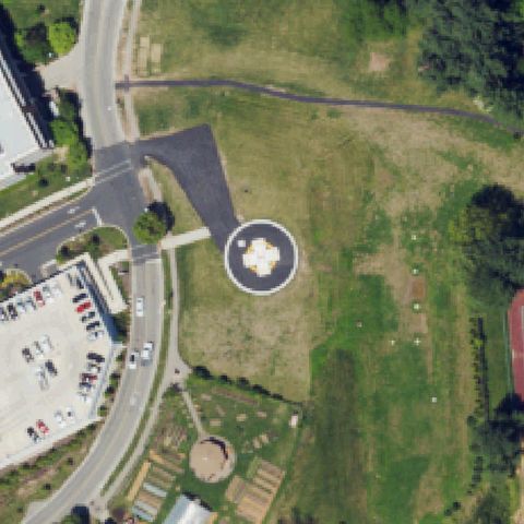
Very clear ground helipad with black circular asphalt pad and bold white H marking centered in the image at the resort property.
✓ Confirmed by AI vision with Claude Opus 4.8
ConfirmedMILAN, PA
41.9211250000001, -76.526188889
Clear circular pad with H marking on a grass island centered in the image at what appears to be a quarry/aggregate business.
✓ Confirmed by AI vision with Claude Opus 4.8
ConfirmedSTATE COLLEGE, PA
40.8117638890001, -77.9148083329999
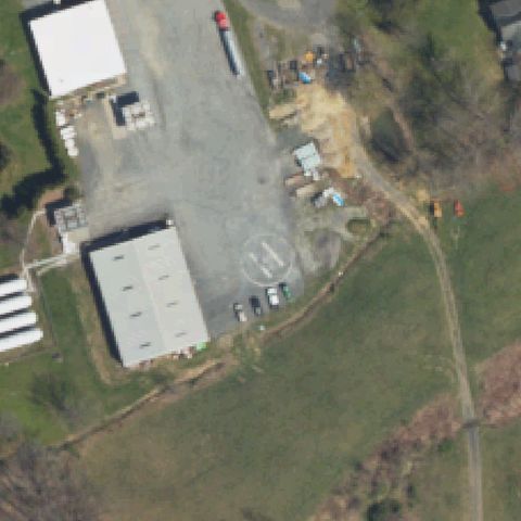
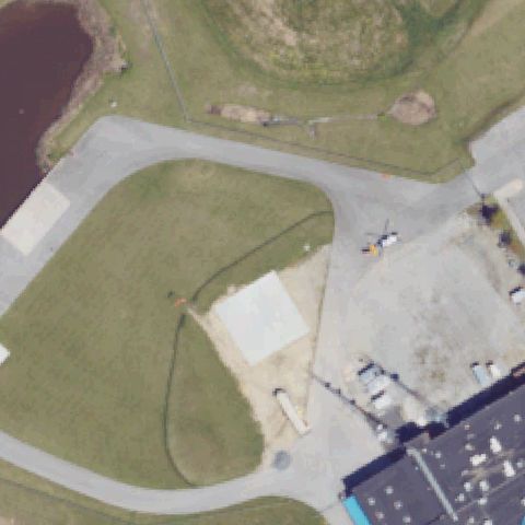
Clear ground helipad with circular asphalt pad and white H marking centered in the image in a gravel/construction area.
✓ Confirmed by AI vision with Claude Opus 4.8