 Not visible
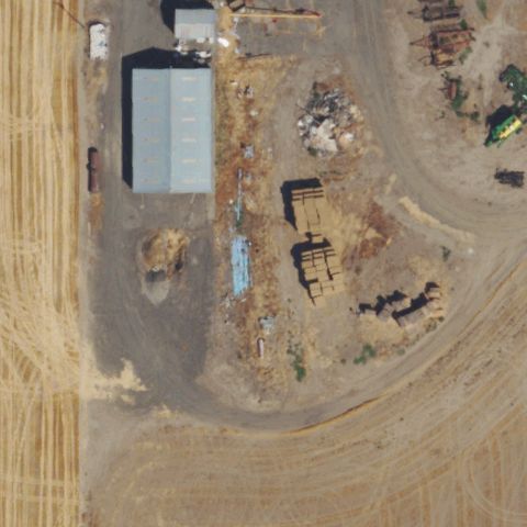
OR18 Davis
ADAMS, OR
45.774298333, -118.559417222
Industrial equipment yard with scattered materials and no landing marking at center.
80% confidence
Verify on the map →
Is there really a pad here?
Data: FAA Airports (ArcGIS open layer) | Imagery: USGS NAIP (public domain) | AI vision: Claude Opus 4.8 | built 2026-07-05
A flag means a pad could not be confirmed from current imagery - never that a heliport is missing, fake, or mislocated. Help us check: vote on each one below.
Not visibleADAMS, OR
45.774298333, -118.559417222
Industrial equipment yard with scattered materials and no landing marking at center.
 Not visible
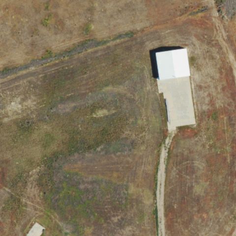
BAKER CITY, OR
44.4944444440001, -117.7475
Open ranch field with a single building and no helicopter landing marking at center.
 Not visible
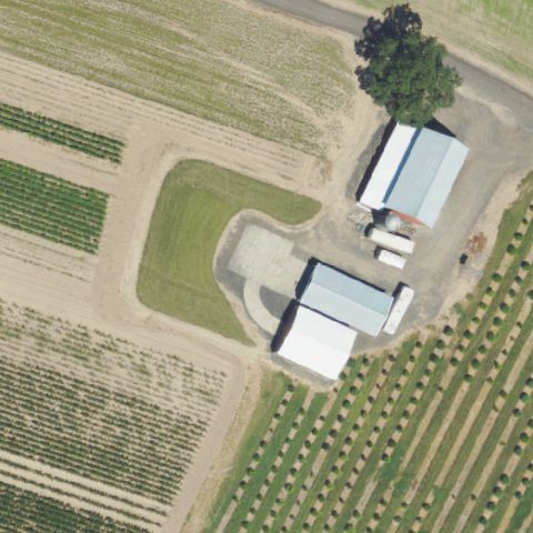
BANKS, OR
45.603163889, -123.0788
Farm buildings surrounded by fields and orchard with no pad visible at center.
 Not visible
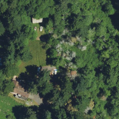
BROOKINGS, OR
42.067055833, -124.295649167
Dense forest canopy covers the center with no landing area visible.
 Not visible
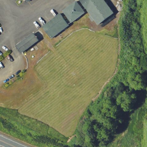
ASTORIA, OR
46.1514722220001, -123.795172222
Mowed grass clearing beside buildings shows no painted pad at center.
 Not visible
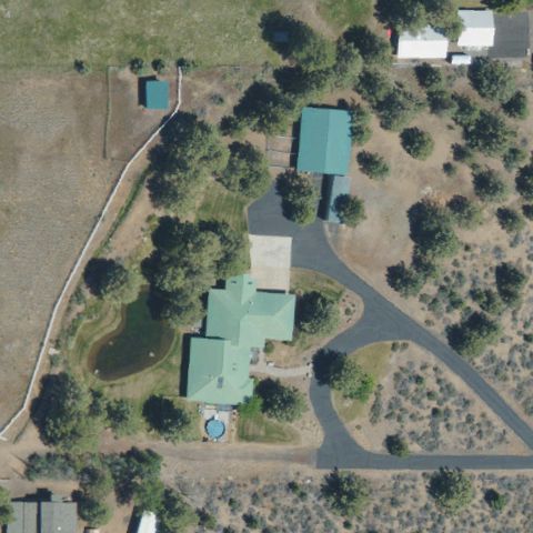
BEND, OR
44.1468833330001, -121.370833333
Rural residence with trees and outbuildings and no landing pad at center.
 Not visible
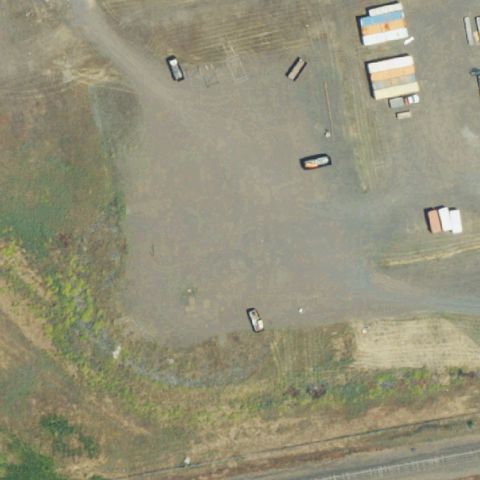
CENTRAL POINT, OR
42.429861111, -122.906611111
Bare gravel and dirt lot with parked vehicles and no marking at center.
 Not visible
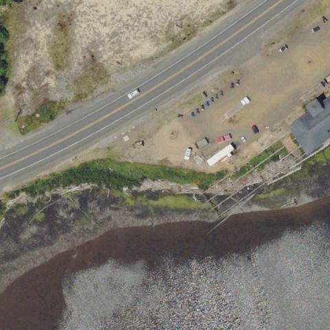
FLORENCE, OR
43.9747833330001, -124.094066667
Roadway and waterfront mudflat dominate with no landing pad at center.
 Not visible
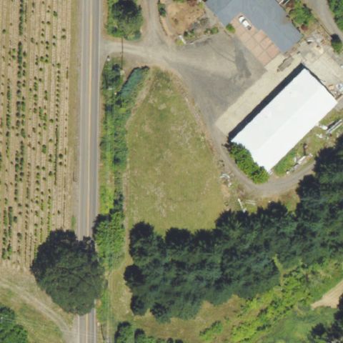
FOREST GROVE, OR
45.530705556, -123.086741667
Overgrown field beside a warehouse with no pad marking at center.
 Not visible
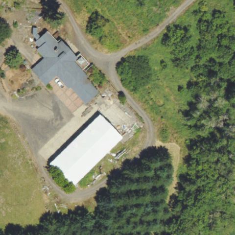
FOREST GROVE, OR
45.5310305560001, -123.085994444
Buildings surrounded by forest and gravel with no landing pad at center.
 Not visible
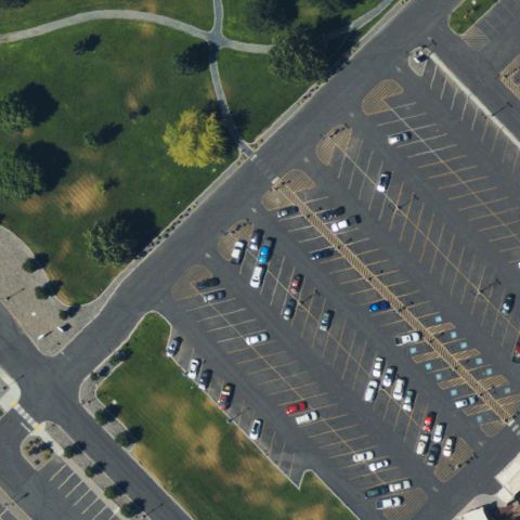
HERMISTON, OR
45.847836111, -119.309525
Parking lot and lawn fill the frame with no helipad marking at center.
 Not visible
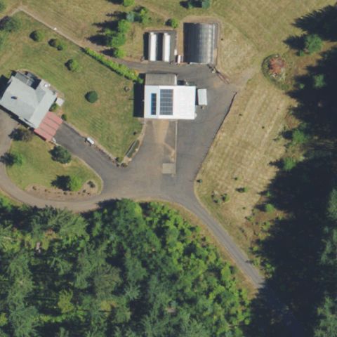
NEWBERG, OR
45.356105556, -122.945480556
Rural property with tanks and buildings and no landing pad at center.
 Not visible
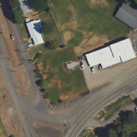
OXBOW VILLAGE, OR
44.9746527780001, -116.858333333
Open field and roadway with buildings and no landing pad at center.
 Not visible
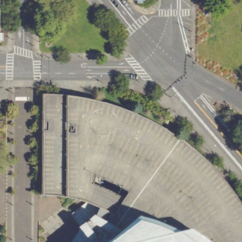
PORTLAND, OR
45.532822222, -122.667108333
Urban plaza and roadway near the arena with no helipad at center.
 Not visible
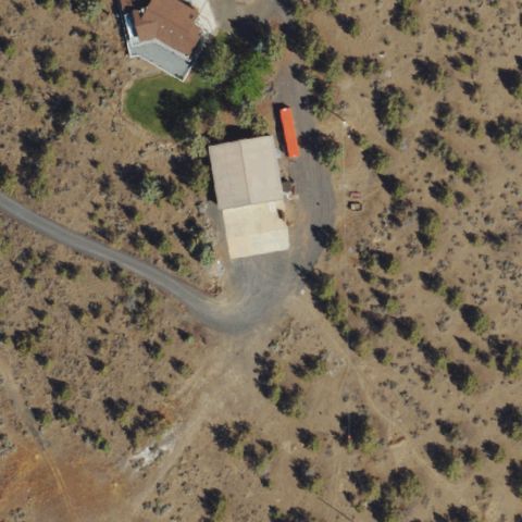
REDMOND, OR
44.322591667, -121.194052778
Rural building amid sagebrush with no landing pad marking at center.
 Not visible
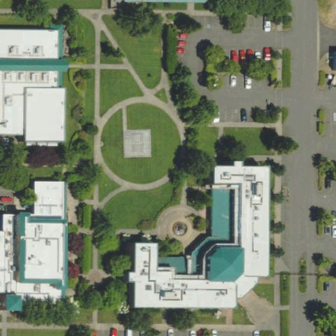
EUGENE, OR
44.058341667, -123.118861111
Park lawn and landscaping near buildings with no pad at center.
 Not visible
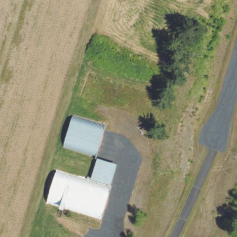
MOLALLA, OR
45.141769444, -122.62075
Farm buildings and fields with no landing pad marking at center.
 Not visible
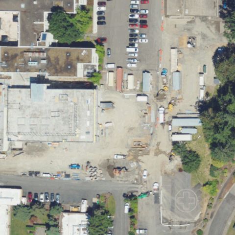
OREGON CITY, OR
45.3560722220001, -122.586002778
Center shows a gravel construction/storage lot with no landing markings.
 Not visible
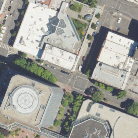
PORTLAND, OR
45.516533333, -122.674475
Center is a generic urban rooftop with a courtyard, no pad visible.
 Not visible
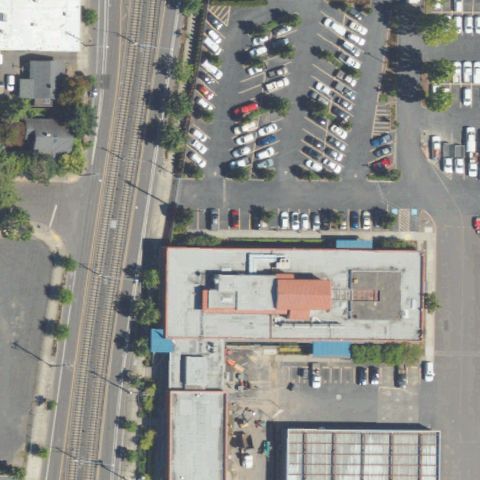
PORTLAND, OR
45.4959519440001, -122.647872778
Center is a parking lot and service yard with no helipad markings.
 Not visible
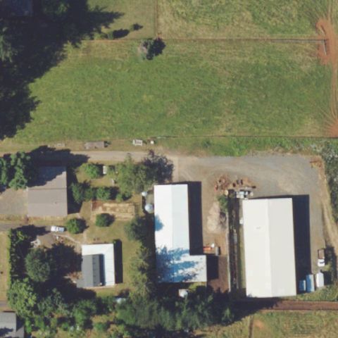
SALEM, OR
44.8590055560001, -123.039791667
Rural property with buildings and field, no pad at center.
 Not visible
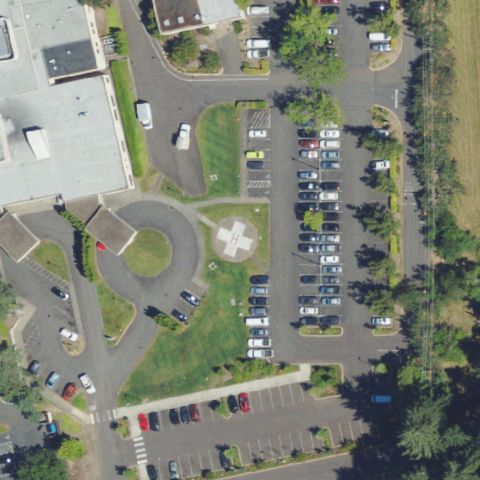
TUALATIN, OR
45.377958333, -122.739766667
Parking lots and circular drives at center, no helipad markings.
 Not visible
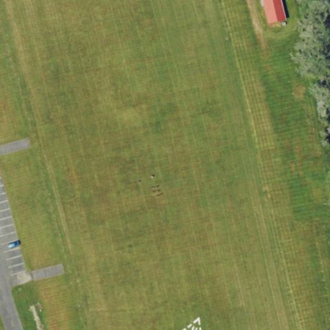
WARRENTON, OR
46.1164944440001, -123.931531944
Open grass training field with no pad at center.
 Not visible
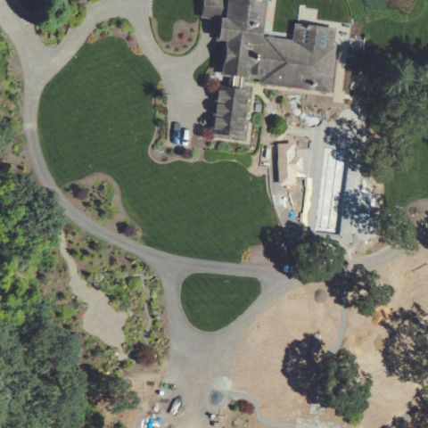
WEST LINN, OR
45.3364611110001, -122.660172222
Estate grounds and lawn at center with no landing markings.
 Not visible
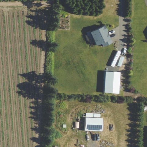
DONALD, OR
45.2151638890001, -122.865158333
Rural farm fields and outbuildings, no pad visible at center.
 Not visible
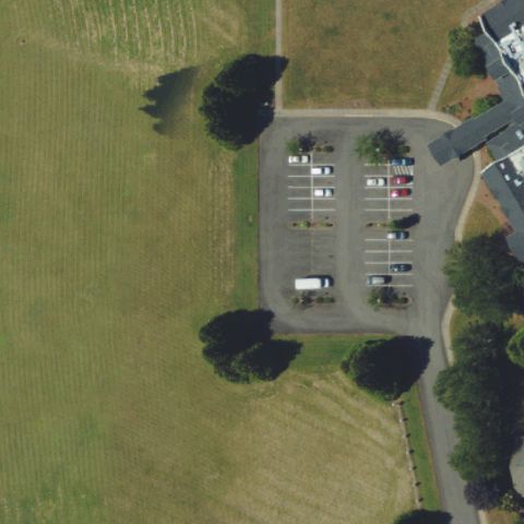
SWEET HOME, OR
44.4055555560001, -122.676666667
Parking lot at center with no helipad markings.
 Not visible
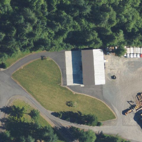
SANDY, OR
45.323537, -122.212291
Building with surrounding lawn and gravel lot, no pad at center.
 Off-center
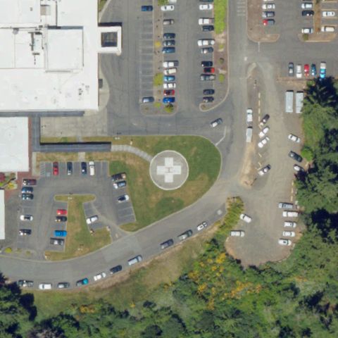
COOS BAY, OR
43.3829666670001, -124.232116667
Circular helipad with marking is visible just right of the hospital center.
 Off-center
POWELL BUTTE, OR
44.3118000000001, -121.009130556
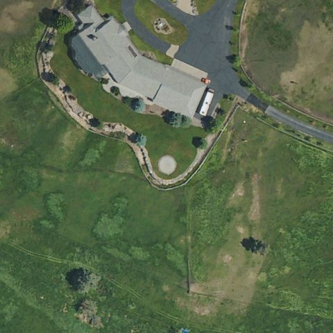
Circular pad visible near a residence but offset from the image center.
 Off-center
LEBANON, OR
44.551486111, -122.907719444
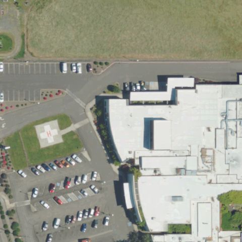
Faint square pad in the parking area offset from the hospital center.
 Off-center
MYRTLE CREEK, OR
43.023308333, -123.281288889
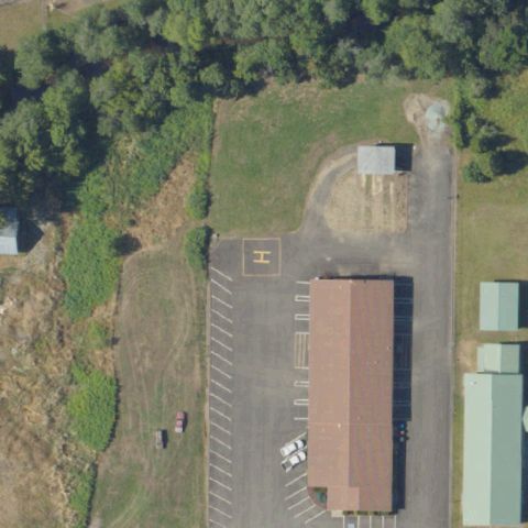
Faint square pad on the apron offset left of the image center.
 Off-center
PORTLAND, OR
45.499163889, -122.685166667
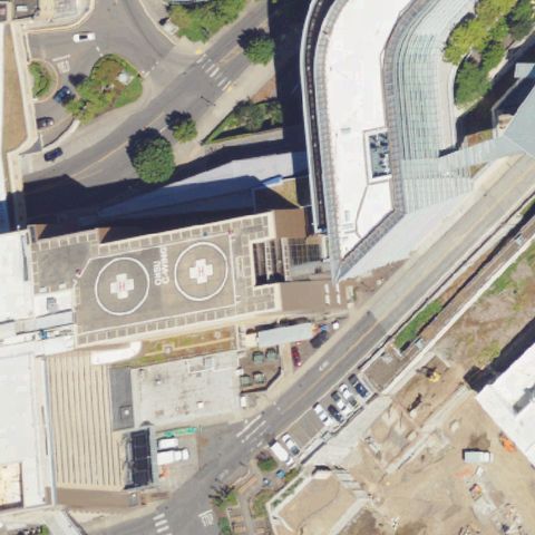
Two circular rooftop touchdown markers visible left of center.
 Off-center
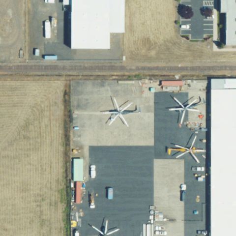
WHITE CITY, OR
42.4304861110001, -122.877077778
Heliport apron with several parked helicopters across the paved area.
 Uncertain
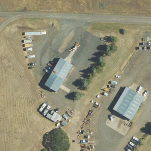
ASHLAND, OR
42.2054105560001, -122.633641111
Industrial yard with buildings and equipment but no clear landing marking at center.
 Uncertain
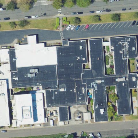
ASTORIA, OR
46.1880486110001, -123.818295833
Hospital rooftops fill the center but no distinct pad marking is identifiable.
 Uncertain
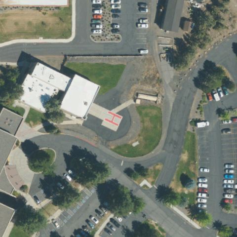
BEND, OR
44.068369444, -121.267527778
Hospital buildings and parking with a small marked spot but no clear pad at center.
 Uncertain
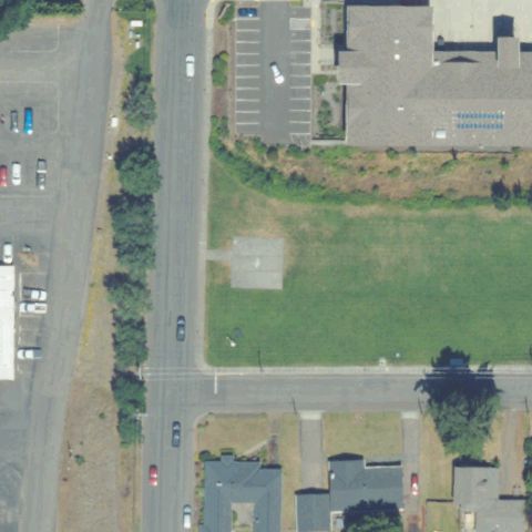
HOOD RIVER, OR
45.7027027780001, -121.529591667
Grassy vacant lot with a faint patch but no clear pad marking at center.
 Uncertain
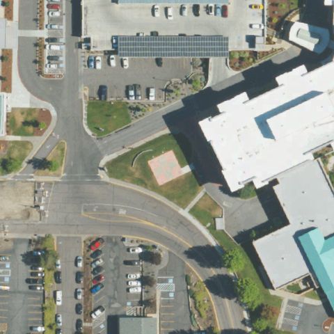
KLAMATH FALLS, OR
42.2527777780001, -121.786191667
Hospital buildings and parking dominate with no distinct pad at center.
 Uncertain
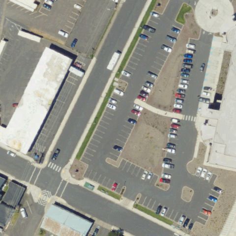
NEWPORT, OR
44.6285055560001, -124.060477778
Hospital parking lots fill the frame with no clear pad marking at center.
 Uncertain
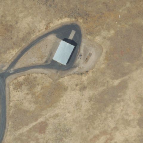
PENDLETON, OR
45.6426302780001, -118.808875278
Desert building with circular gravel area but no landing marking at center.
 Uncertain
SALEM, OR
44.9995638890001, -122.977039444
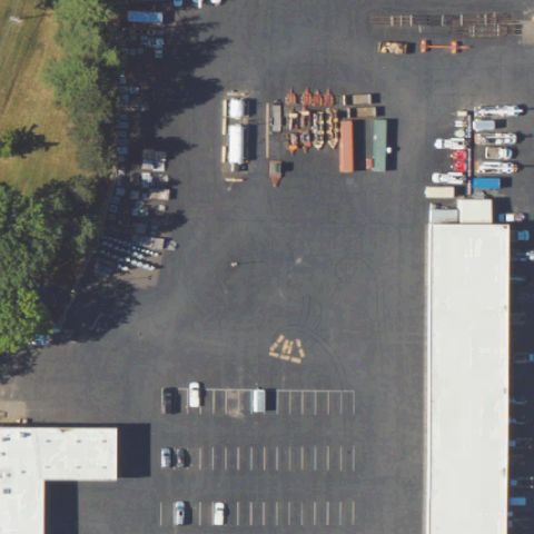
Large industrial lot with a faint marking but no distinct helipad at center.
 Uncertain
SALEM, OR
44.932611111, -123.033888889
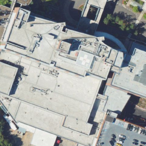
Large hospital rooftop with a circular feature but no clear pad marking centered.
 Uncertain
THE DALLES, OR
45.587238889, -121.163822222
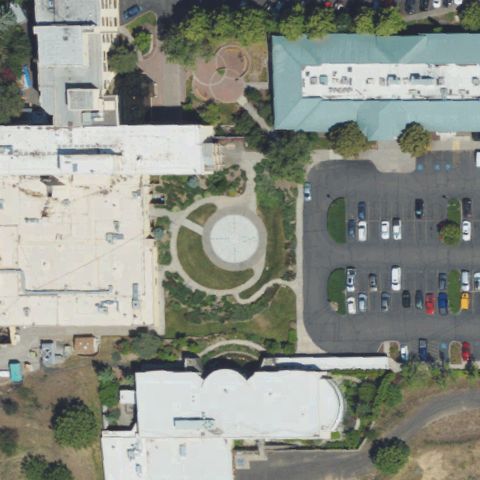
Center shows a circular landscaped/plaza feature, not a marked helipad.
 Uncertain
SEASIDE, OR
45.973519444, -123.9262
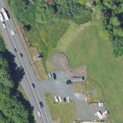
Circular bare/dirt area at center with no clear landing markings.
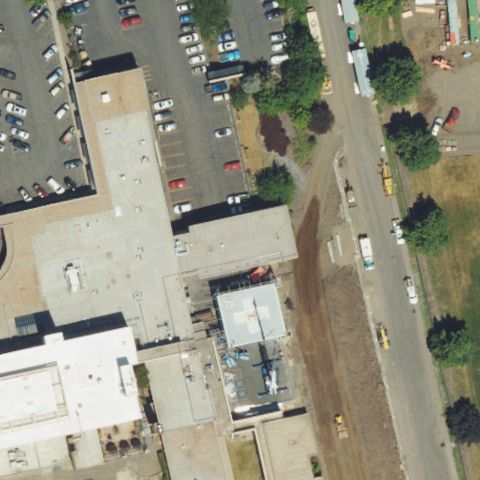 Uncertain
LA GRANDE, OR
45.319705556, -118.105419444
Parking lots and street at center, no helipad markings.
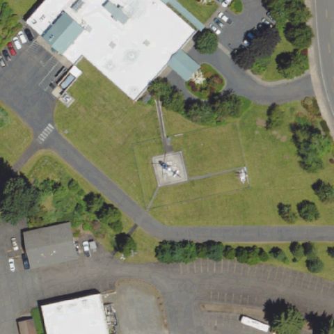 Uncertain
COTTAGE GROVE, OR
43.8032000000001, -123.0394
Grass area with a pole/marker but no distinct helipad at center.
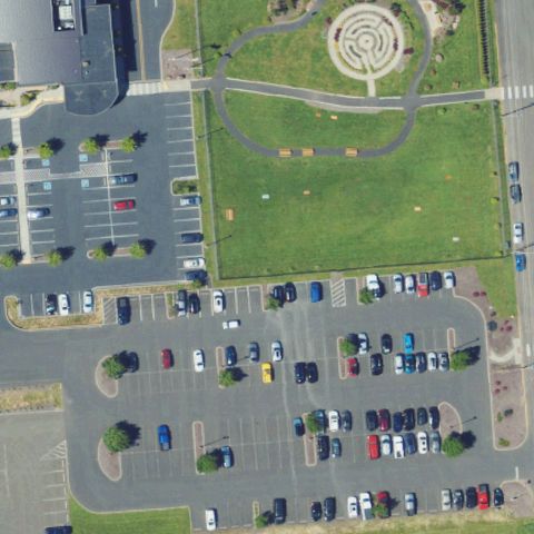 Uncertain
ASTORIA, OR
46.1876, -123.8208
Center shows a circular landscaped garden feature, not a helipad.
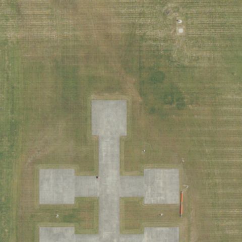 Confirmed
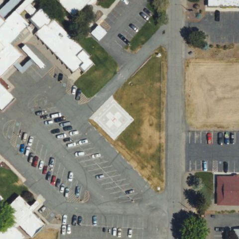
AURORA, OR
45.243708333, -122.764405556
Distinct cross-shaped prepared concrete pad occupies the image center in an open field.
✓ Confirmed by AI vision with Claude Opus 4.8
 Confirmed
BAKER, OR
44.7947888890001, -117.846088889
Painted H on a square touchdown pad sits at the center near the hospital.
✓ Confirmed by AI vision with Claude Opus 4.8
 Confirmed
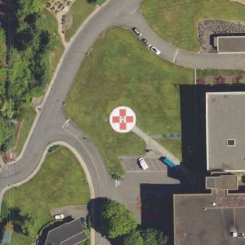
BEAVERTON, OR
45.510924028, -122.774066944
Painted white circle with red cross hospital helipad marking centered in the image.
✓ Confirmed by AI vision with Claude Opus 4.8
 Confirmed
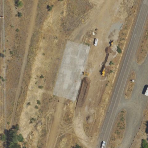
BROWNLEE VILLAGE, OR
44.846402778, -116.898730556
Large prepared concrete pad sits at the center though markings are faint or worn.
✓ Confirmed by AI vision with Claude Opus 4.8
 Confirmed
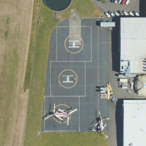
AURORA, OR
45.2586666670001, -122.766388889
Multiple painted H circular helipads on a paved apron centered in the image.
✓ Confirmed by AI vision with Claude Opus 4.8
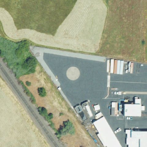 Confirmed
CENTRAL POINT, OR
42.405305556, -122.948055556
Faint circular marking on a large paved area near the center suggests a pad.
✓ Confirmed by AI vision with Claude Opus 4.8
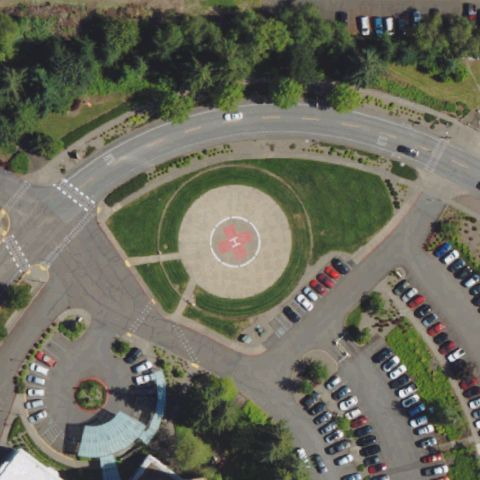 Confirmed
CORVALLIS, OR
44.6044416670001, -123.251866667
Circular helipad with central marking sits in the courtyard at the image center.
✓ Confirmed by AI vision with Claude Opus 4.8
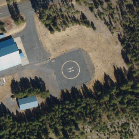 Confirmed
CRESCENT LAKE, OR
43.5267944440001, -121.947908333
Concrete pad with painted H near center beside the fire station building.
✓ Confirmed by AI vision with Claude Opus 4.8
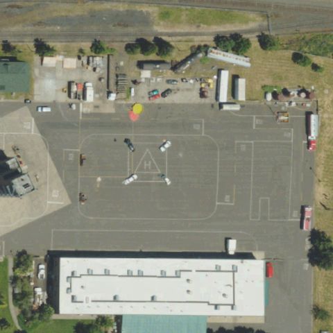 Confirmed
EUGENE, OR
44.0595388890001, -123.118847222
Large paved drill field with painted markings at center used as a landing pad.
✓ Confirmed by AI vision with Claude Opus 4.8
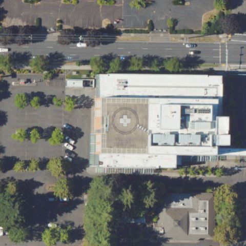 Confirmed
HILLSBORO, OR
45.5197138890001, -122.979788889
Circular rooftop helipad marking visible on the hospital building at center.
✓ Confirmed by AI vision with Claude Opus 4.8
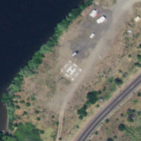 Confirmed
HOMESTEAD, OR
45.1238555560001, -116.742638889
Bold painted H on a square pad clearly centered on the riverside clearing.
✓ Confirmed by AI vision with Claude Opus 4.8
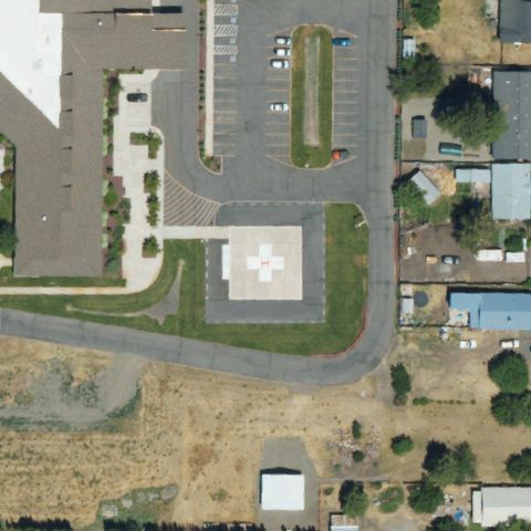 Confirmed
LAKEVIEW, OR
42.180602778, -120.351172222
Circular pad with cross marking centered beside the hospital building.
✓ Confirmed by AI vision with Claude Opus 4.8
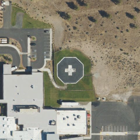 Confirmed
MADRAS, OR
44.6385388890001, -121.120269444
Circular helipad with cross marking sits at center beside the hospital.
✓ Confirmed by AI vision with Claude Opus 4.8
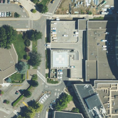 Confirmed
MEDFORD, OR
42.317983333, -122.831727778
Rooftop pad with painted H marking centered on the medical center.
✓ Confirmed by AI vision with Claude Opus 4.8
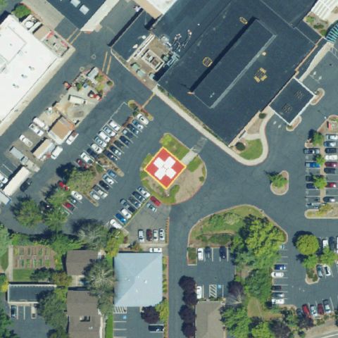 Confirmed
MEDFORD, OR
42.338833333, -122.862763889
Circular red helipad with cross marking centered at the hospital.
✓ Confirmed by AI vision with Claude Opus 4.8
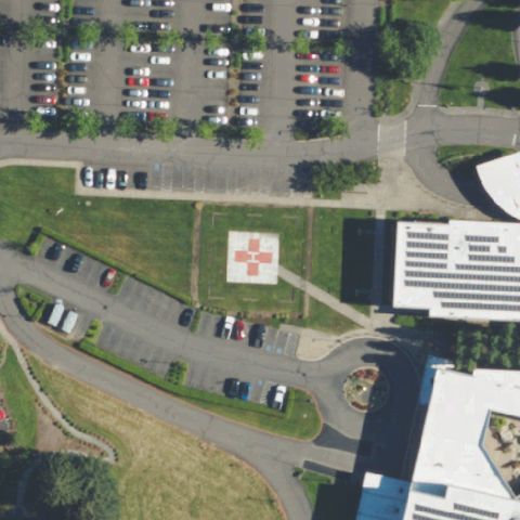 Confirmed
NEWBERG, OR
45.3083888890001, -122.936919444
Red circular helipad with cross marking visible near the hospital center.
✓ Confirmed by AI vision with Claude Opus 4.8
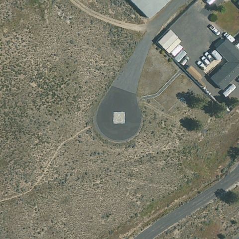 Confirmed
PRINEVILLE, OR
44.2790305560001, -120.902175
Square prepared pad on the paved apron near center at the airport.
✓ Confirmed by AI vision with Claude Opus 4.8
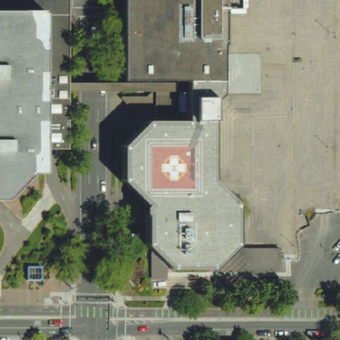 Confirmed
EUGENE, OR
44.046038889, -123.081769444
Red circular helipad with cross marking centered at the hospital.
✓ Confirmed by AI vision with Claude Opus 4.8
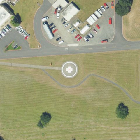 Confirmed
GRESHAM, OR
45.5158916670001, -122.406447222
Circular helipad with central marking sits on the lawn at the image center.
✓ Confirmed by AI vision with Claude Opus 4.8
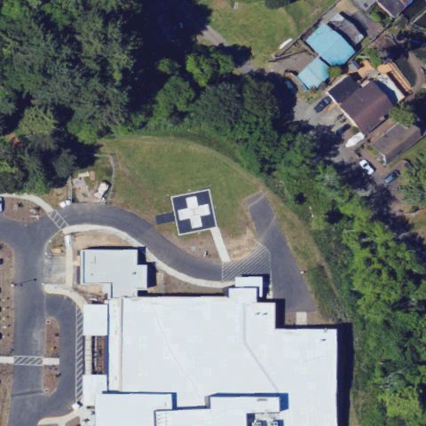 Confirmed
LINCOLN CITY, OR
44.9863, -123.994058333
Teal pad with white cross marking centered beside the hospital building.
✓ Confirmed by AI vision with Claude Opus 4.8
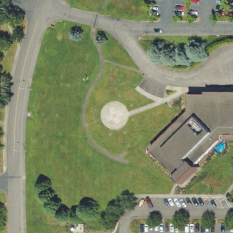 Confirmed
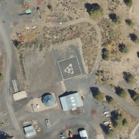
MCMINNVILLE, OR
45.198994444, -123.166333333
Circular prepared pad centered on the lawn beside the medical center.
✓ Confirmed by AI vision with Claude Opus 4.8
 Confirmed
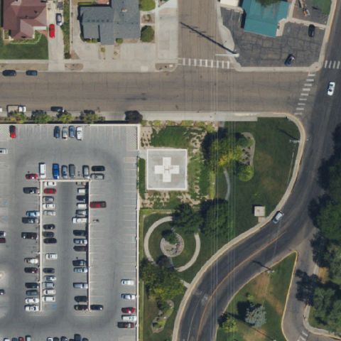
METOLIUS, OR
44.623975, -121.278388889
Square pad with painted marking at center near the desert facility.
✓ Confirmed by AI vision with Claude Opus 4.8
 Confirmed
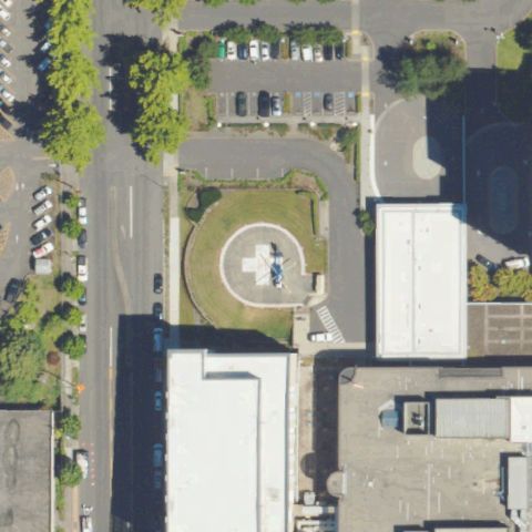
ONTARIO, OR
44.0255611110001, -116.975811111
Circular pad with painted H at image center beside the medical campus.
✓ Confirmed by AI vision with Claude Opus 4.8
 Confirmed
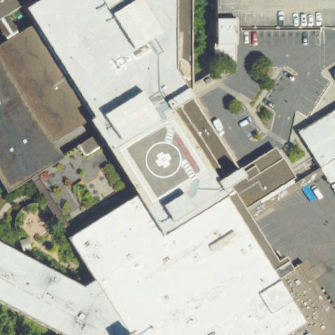
PORTLAND, OR
45.5444666670001, -122.671541667
Circular ground pad with painted H at center within the hospital grounds.
✓ Confirmed by AI vision with Claude Opus 4.8
 Confirmed
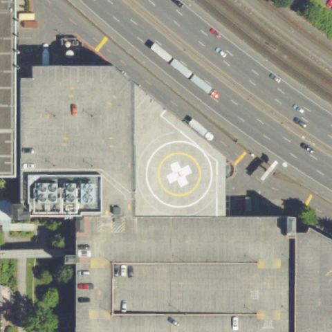
PORTLAND, OR
45.513186111, -122.558494444
Rooftop circular touchdown marker near image center.
✓ Confirmed by AI vision with Claude Opus 4.8
 Confirmed
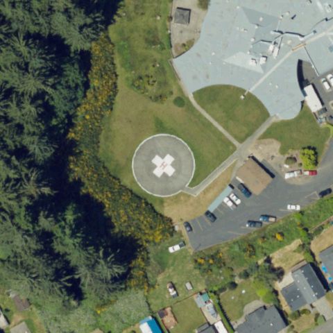
PORTLAND, OR
45.5280138890001, -122.612091667
Light-painted rooftop pad with circular marker at center.
✓ Confirmed by AI vision with Claude Opus 4.8
 Confirmed
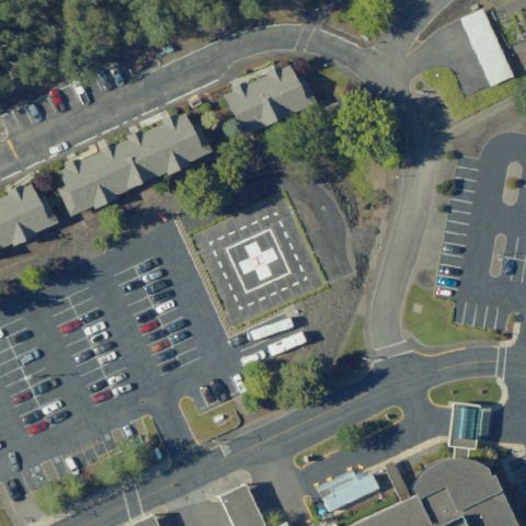
REEDSPORT, OR
43.6941194440001, -124.136838889
Circular pad with bold painted H centered beside the facility.
✓ Confirmed by AI vision with Claude Opus 4.8
 Confirmed
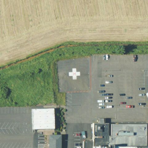
ROSEBURG, OR
43.242880556, -123.366641667
Marked pad with H in paved lot at image center.
✓ Confirmed by AI vision with Claude Opus 4.8
 Confirmed
TILLAMOOK, OR
45.457302778, -123.855008333
Paved area with white cross/H marking at center near the hospital.
✓ Confirmed by AI vision with Claude Opus 4.8
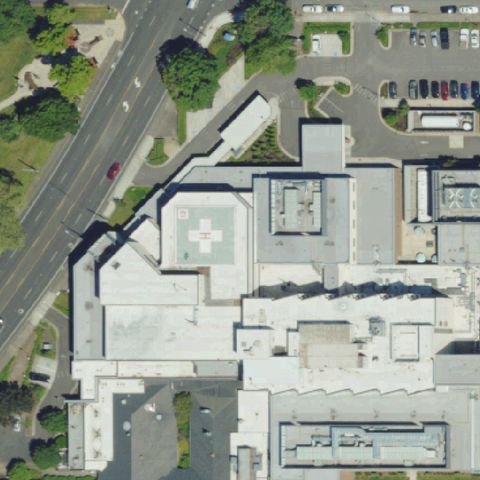 Confirmed
SPRINGFIELD, OR
44.0536250000001, -123.003591667
Rooftop with white cross/H marking near image center.
✓ Confirmed by AI vision with Claude Opus 4.8
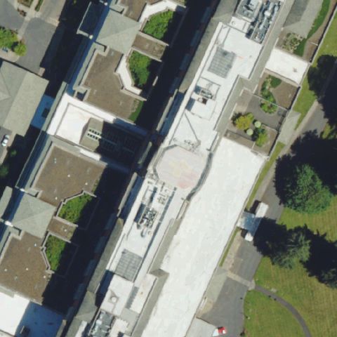 Confirmed
SPRINGFIELD, OR
44.081283333, -123.026458333
Rooftop circular pad feature near center of the hospital building.
✓ Confirmed by AI vision with Claude Opus 4.8
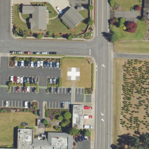 Confirmed
STAYTON, OR
44.8058055560001, -122.784430556
Paved lot with white cross/H landing marking at center.
✓ Confirmed by AI vision with Claude Opus 4.8
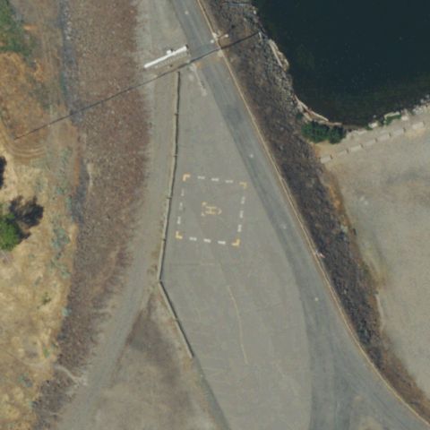 Confirmed
UMATILLA, OR
45.9263222220001, -119.294041667
Dashed square touchdown outline marked on pavement at center.
✓ Confirmed by AI vision with Claude Opus 4.8
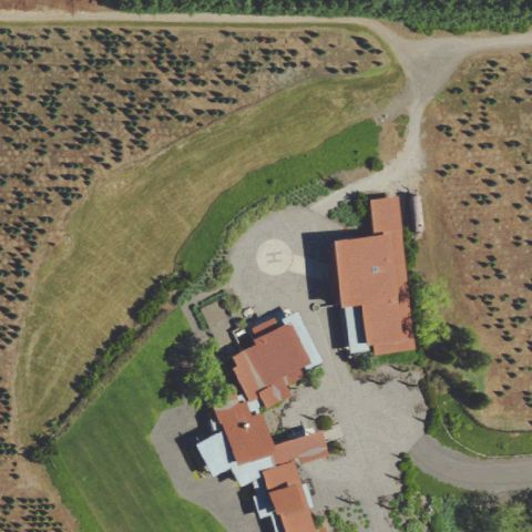 Confirmed
WEST LINN, OR
45.343283333, -122.697111111
Circular prepared pad on dirt near center of the rural property.
✓ Confirmed by AI vision with Claude Opus 4.8
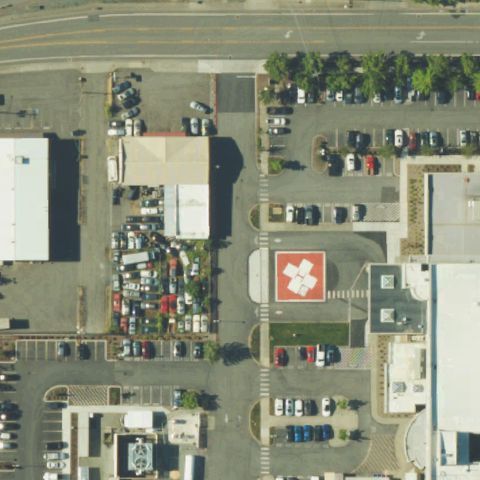 Confirmed
GRANTS PASS, OR
42.4218666670001, -123.343958333
White cross/H landing marking on paved area near center.
✓ Confirmed by AI vision with Claude Opus 4.8
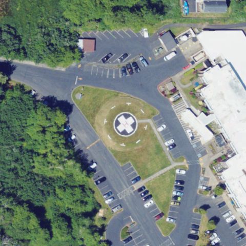 Confirmed
SEASIDE, OR
45.9890361110001, -123.913036111
Circular pad with painted H at center within the hospital grounds.
✓ Confirmed by AI vision with Claude Opus 4.8
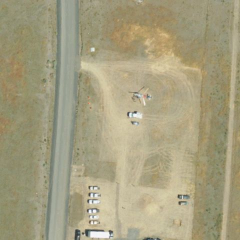 Confirmed
JOHN DAY, OR
44.409444444, -118.965555556
Faint H marking on a graded dirt pad near image center.
✓ Confirmed by AI vision with Claude Opus 4.8
 Confirmed
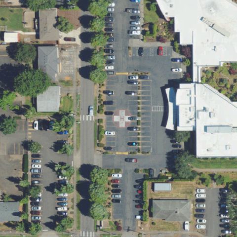
SILVERTON, OR
45.003938889, -122.790555556
Small painted H marking in paved lot near center of the medical center.
✓ Confirmed by AI vision with Claude Opus 4.8
 Confirmed
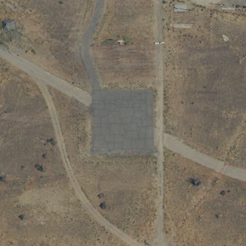
HERMISTON, OR
45.8065361110001, -119.424441667
Distinct rectangular prepared pad on desert ground at center.
✓ Confirmed by AI vision with Claude Opus 4.8
 Confirmed
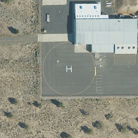
POWELL BUTTE, OR
44.222751944, -121.099443889
Large circular pad with painted H at image center.
✓ Confirmed by AI vision with Claude Opus 4.8
 Confirmed
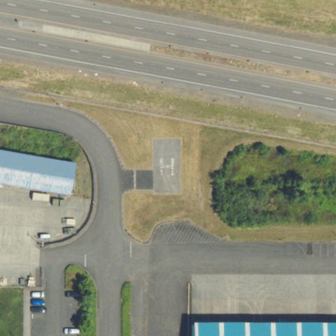
HAPPY VALLEY, OR
45.4140194440001, -122.558430556
Painted H landing marking on pavement near center.
✓ Confirmed by AI vision with Claude Opus 4.8