 Not visible
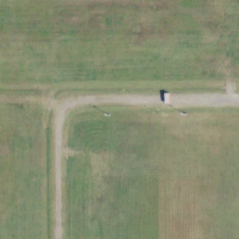
59OK Camp Gruber
BRAGGS, OK
35.673708333, -95.205516944
Image center is open field with a dirt road and a small structure, no pad marking visible.
85% confidence
Verify on the map →
Is there really a pad here?
Data: FAA Airports (ArcGIS open layer) | Imagery: USGS NAIP (public domain) | AI vision: Claude Opus 4.8 | built 2026-07-05
A flag means a pad could not be confirmed from current imagery - never that a heliport is missing, fake, or mislocated. Help us check: vote on each one below.
Not visibleBRAGGS, OK
35.673708333, -95.205516944
Image center is open field with a dirt road and a small structure, no pad marking visible.
 Not visible
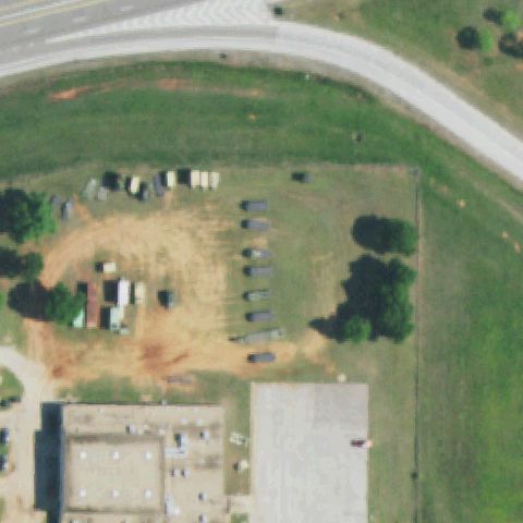
CHANDLER, OK
35.717144444, -96.890116667
Center is a field with parked vehicles/equipment, no helipad markings present.
 Not visible
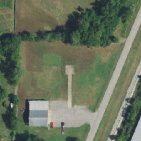
COLLINSVILLE, OK
36.354472222, -95.840469444
Center shows a water tower and open field, no landing pad visible.
 Not visible
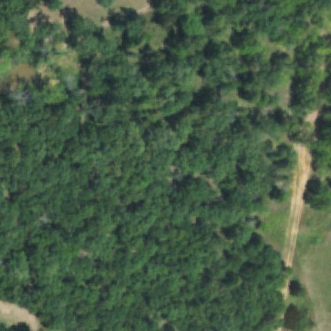
LOCUST GROVE, OK
36.105096944, -95.23524
Center is dense forest canopy, no clearing or pad visible at all.
 Not visible
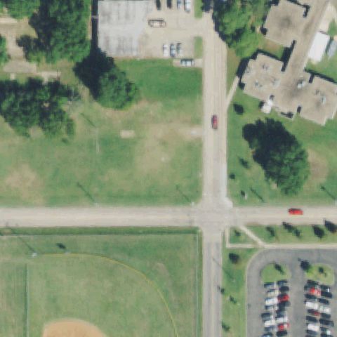
MUSKOGEE, OK
35.7516000000001, -95.407363889
Center is a road intersection and open field, no helipad marking present.
 Not visible
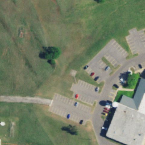
OKLAHOMA CITY, OK
35.5644833330001, -97.4893222219999
Image center is open grass/hillside, no landing pad or markings visible.
 Not visible
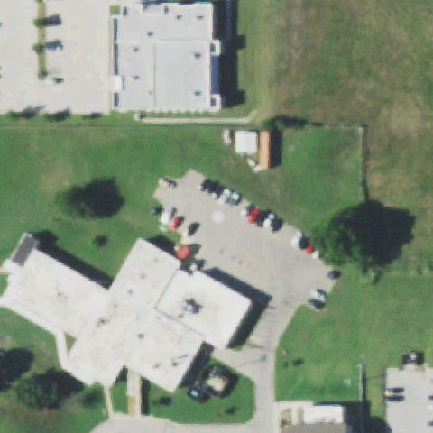
PAWHUSKA, OK
36.673855556, -96.325288889
Center is a residential street and lots with no helipad marking present.
 Not visible
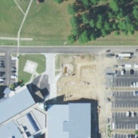
TALIHINA, OK
34.756702778, -95.0835888889999
The image center is an active construction site of bare dirt with no landing markings visible.
 Not visible
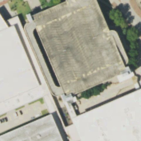
TULSA, OK
36.1501777780001, -95.997358333
Image center shows a large stadium/parking structure with no helicopter landing markings.
 Not visible
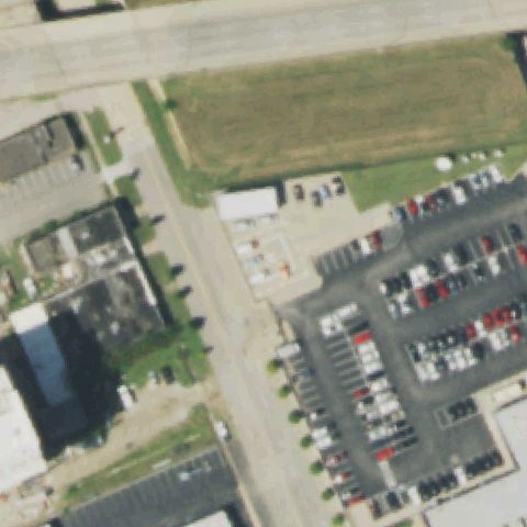
TULSA, OK
36.160930556, -95.993430556
Image center is an open grassy lot with no pad or markings present.
 Not visible
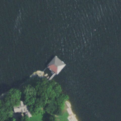
DISNEY, OK
36.5012888890001, -94.967911111
Image center is open water with a lakeside boathouse and no helicopter landing area.
 Not visible
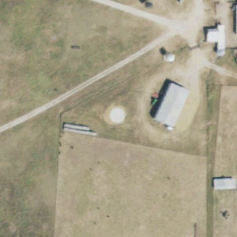
SULPHUR, OK
34.4034888890001, -96.759175
A round tank/structure sits near center on the ranch but shows no landing markings or prepared pad.
 Not visible
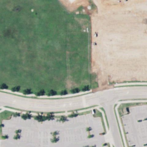
NORMAN, OK
35.2594556110001, -97.4924689169999
Image center is open grass/dirt with parking below and no landing markings.
 Not visible
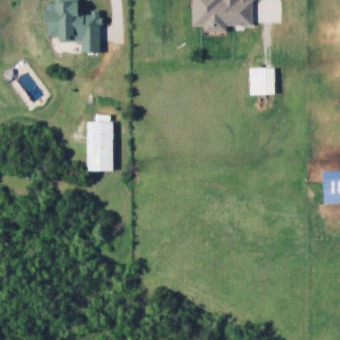
OKLAHOMA CITY, OK
35.4341666670001, -97.788055556
Image center is an open grass field between residences with no pad or markings.
 Not visible
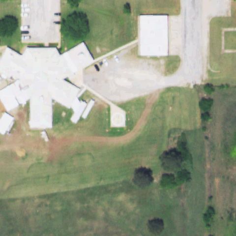
WAURIKA, OK
34.1570750000001, -97.979019444
Image center shows generic buildings and pavement with no helicopter landing markings.
 Not visible
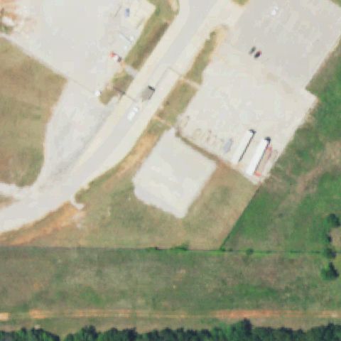
LUTHER, OK
35.6838550000001, -97.227212
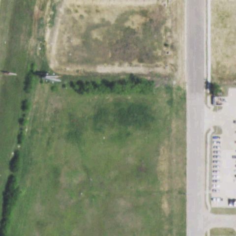
Image center is an industrial building/pavement at the power plant with no landing pad visible.
 Not visible
ARDMORE, OK
34.192744444, -97.163347222
Image center is an open field beside a road with no prepared pad or markings.
 Not visible
TAHLEQUAH, OK
35.911208333, -94.945827778
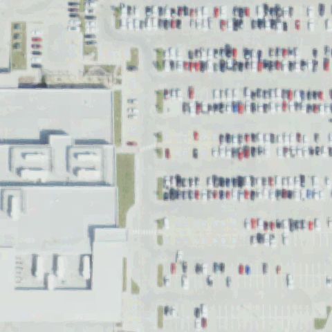
Image center is a large parking lot with no helicopter landing markings visible.
 Off-center
CHEYENNE, OK
35.608972222, -99.671330556
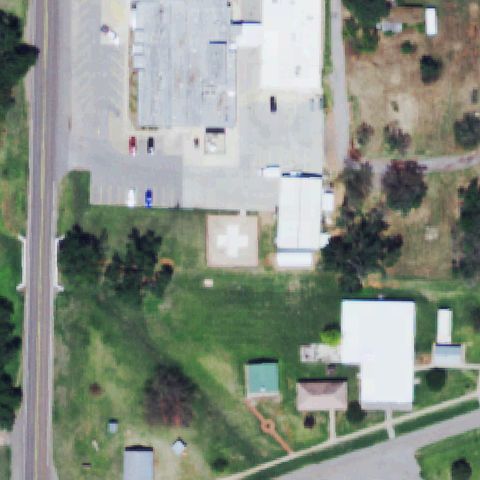
Square pad with white cross marking is present but sits left of the image center.
 Off-center
GROVE, OK
36.5811, -94.759747222
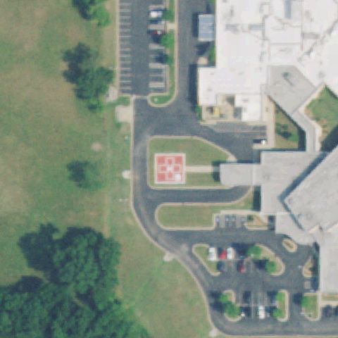
Red helipad with white H marking is visible but left of the image center.
 Off-center
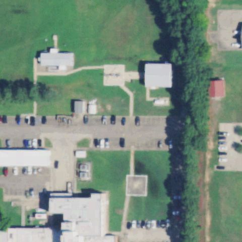
IDABEL, OK
33.8836916670001, -94.8107027779999
Faint square prepared pad below center near the hospital, away from exact center.
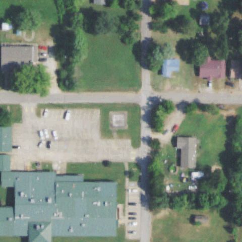 Off-center
JAY, OK
36.422383333, -94.804155556
Faint square pad in a gravel lot slightly left of center, markings unclear.
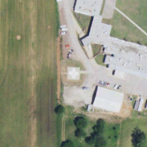 Off-center
LINDSAY, OK
34.838902778, -97.626913889
White pad with cross marking present but sits left of the image center.
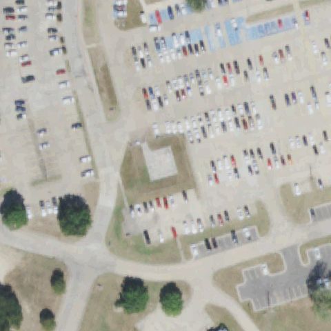 Off-center
MC ALESTER, OK
34.935602778, -95.7499861109999
Square prepared pad just left of center adjacent to a large parking lot.
 Off-center
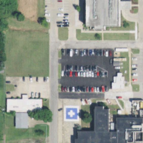
CLAREMORE, OK
36.3233250000001, -95.605122222
Blue pad with white cross marking is clear but below the image center.
 Off-center
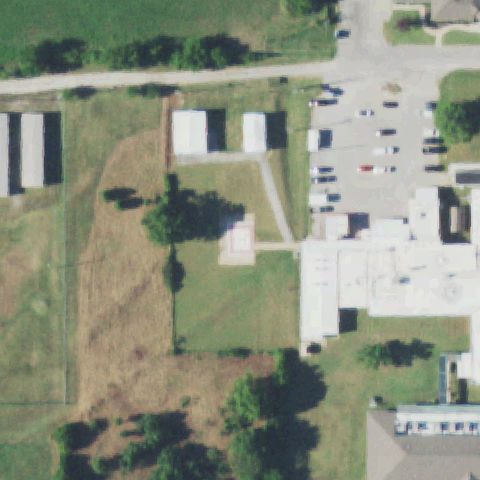
CLEVELAND, OK
36.309413889, -96.482452778
Faint square pad with reddish marking left of center near the hospital buildings.
 Off-center
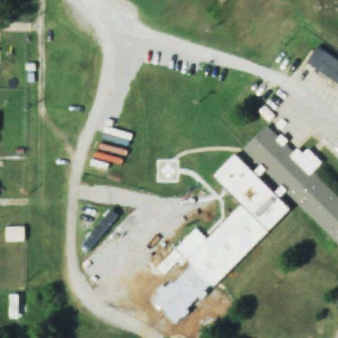
FAIRFAX, OK
36.563419444, -96.707486111
Square pad with white cross marking is present but left of the image center.
 Off-center
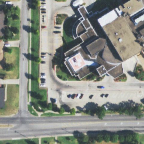
LAWTON, OK
34.6093666670001, -98.435511111
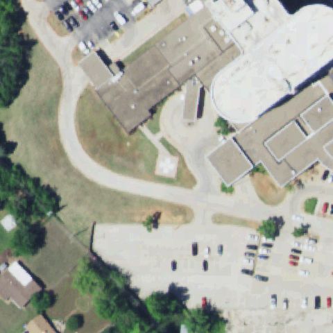
Rooftop pad with red cross/H marking visible but lower-left of image center.
 Off-center
MIDWEST CITY, OK
35.4663333330001, -97.394430556
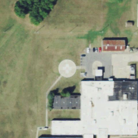
Pad with white cross marking present but left of the image center by the building.
 Off-center
STILWELL, OK
35.809675, -94.643580556
A round pad with a circular cross marking sits just right of center against the hospital building.
 Off-center
TULSA, OK
36.0748888890001, -95.918688889
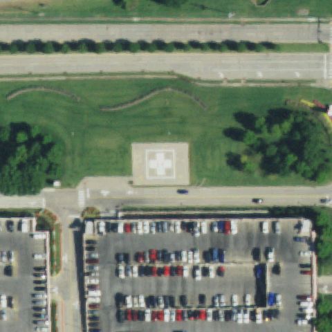
A square pad with a cross marking is visible above center surrounded by lawn and parking.
 Off-center
PRYOR, OK
36.2964830560001, -95.3058019439999
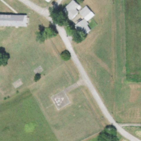
A faint marked square pad is visible below-left of center in a mowed field; imagery is low resolution.
 Off-center
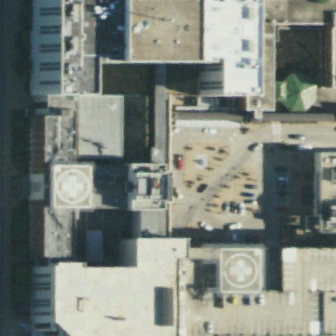
TULSA, OK
36.1342602780001, -95.9663841669999
Two cross-marked rooftop pads are visible but offset to the lower-left and lower-right of center.
 Off-center
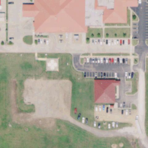
SALLISAW, OK
35.455, -94.8172222219999
A light circular cross-marked pad is visible left of center beside the health center lot.
 Off-center
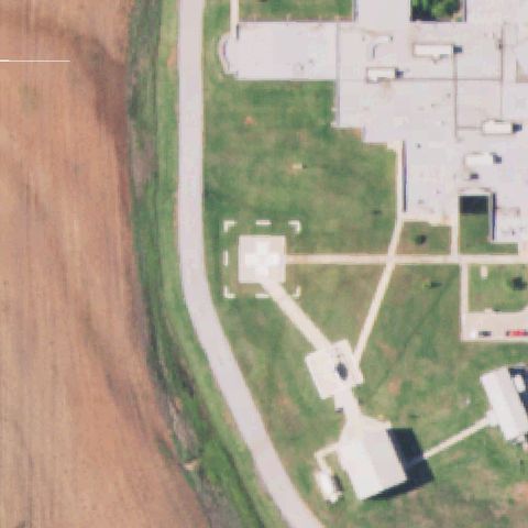
KINGFISHER, OK
35.809741667, -97.945483333
A square pad with a cross marking sits left of center on the hospital lawn.
 Uncertain
OKLAHOMA CITY, OK
35.4084444440001, -97.3695
Center is a large bright building roof with no discernible pad marking.
 Uncertain
CUSHING, OK
35.9781750000001, -96.757452778
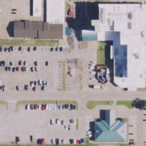
Center is a parking lot and construction area with no clear helipad marking.
 Uncertain
NORMAN, OK
35.2310583330001, -97.439825
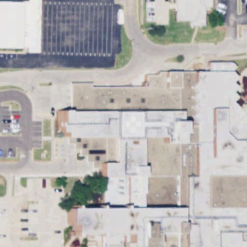
Center is a large hospital rooftop with no clearly discernible pad marking.
 Uncertain
OKLAHOMA CITY, OK
35.478033333, -97.5235222219999
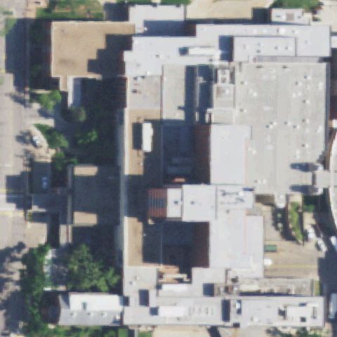
Center is a dense hospital rooftop complex with no distinct pad marking visible.
 Uncertain
TULSA, OK
36.1158611110001, -96.026666667
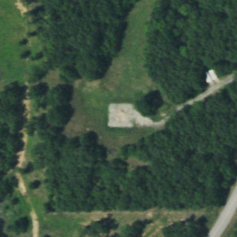
Image center is dense forest with no prepared pad or markings visible.
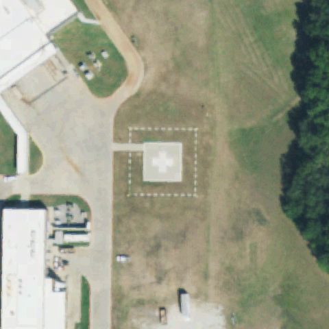 Confirmed
ADA, OK
34.7300333330001, -96.6435083329999
White square touchdown pad with painted cross/H marking and dashed FATO box at image center.
✓ Confirmed by AI vision with Claude Opus 4.8
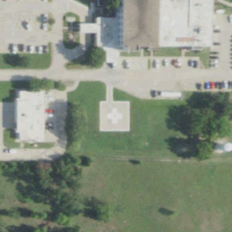 Confirmed
ADA, OK
34.777330556, -96.633575
Light square pad with a white cross marking sits at the image center on a grassy lawn.
✓ Confirmed by AI vision with Claude Opus 4.8
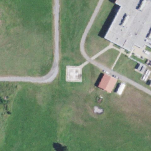 Confirmed
ATOKA, OK
34.392022222, -96.152177778
Faint square prepared pad near center beside the medical building, markings indistinct.
✓ Confirmed by AI vision with Claude Opus 4.8
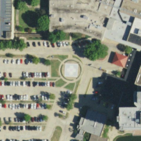 Confirmed
BARTLESVILLE, OK
36.7524222220001, -95.939494444
Round/square pad ringed by a circle marking at center amid a campus and parking lots.
✓ Confirmed by AI vision with Claude Opus 4.8
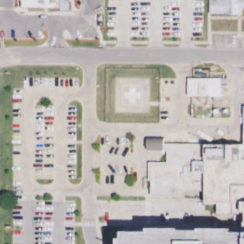 Confirmed
ARDMORE, OK
34.1894444440001, -97.141944444
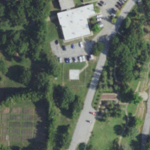
Square pad with white cross marking inside a raised FATO box centered in a lawn.
✓ Confirmed by AI vision with Claude Opus 4.8
 Confirmed
BRISTOW, OK
35.8330388890001, -96.4016194439999
Small light square prepared pad just below center on a wooded hospital lot.
✓ Confirmed by AI vision with Claude Opus 4.8
 Confirmed
CARNEGIE, OK
35.1079222220001, -98.605111111
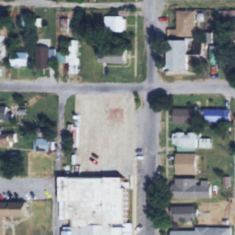
Painted red circle landing marker on a cleared gravel lot near image center.
✓ Confirmed by AI vision with Claude Opus 4.8
 Confirmed
CATOOSA, OK
36.2308305560001, -95.739672222
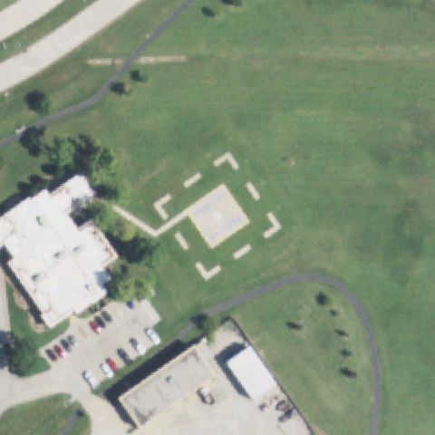
Square pad surrounded by a dashed FATO marker box centered in an open field.
✓ Confirmed by AI vision with Claude Opus 4.8
 Confirmed
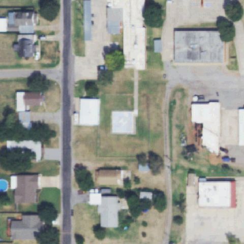
CORDELL, OK
35.3022722220001, -98.9885944439999
Square concrete pad with a faint H marking just left of center in a vacant lot.
✓ Confirmed by AI vision with Claude Opus 4.8
 Confirmed
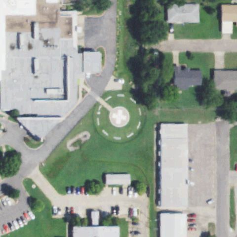
DURANT, OK
34.006674167, -96.392809111
Circular pad with painted cross/H and dashed ring marking centered on the lawn.
✓ Confirmed by AI vision with Claude Opus 4.8
 Confirmed
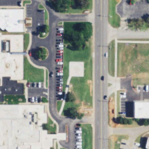
EDMOND, OK
35.655, -97.46075
Light square prepared pad near center on a grassy strip between parking and road.
✓ Confirmed by AI vision with Claude Opus 4.8
 Confirmed
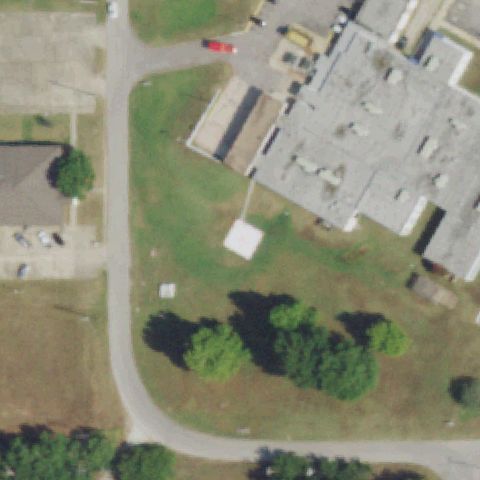
HOLDENVILLE, OK
35.088783333, -96.379322222
White square pad with access path near center beside the hospital building.
✓ Confirmed by AI vision with Claude Opus 4.8
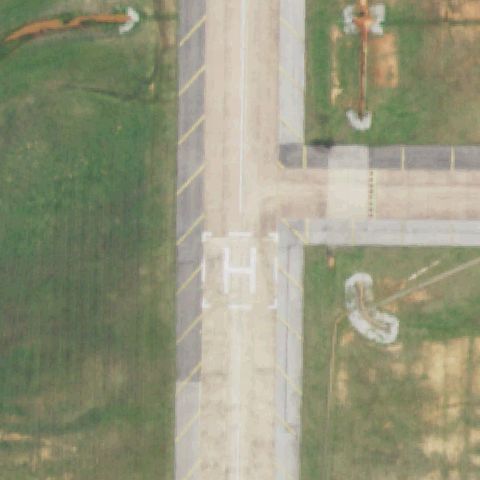 Confirmed
LEXINGTON, OK
35.0263944440001, -97.231627778
Clear painted white H inside a square box at image center on a taxiway/apron.
✓ Confirmed by AI vision with Claude Opus 4.8
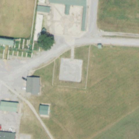 Confirmed
LOCUST GROVE, OK
36.121491667, -95.1385749999999
Distinct square concrete prepared pad near image center on a ranch property.
✓ Confirmed by AI vision with Claude Opus 4.8
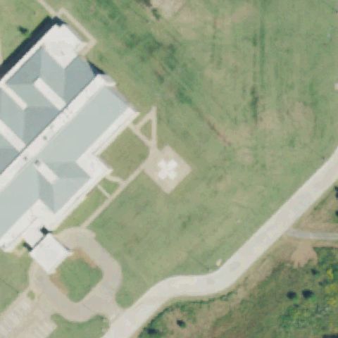 Confirmed
MUSKOGEE, OK
35.782477778, -95.35565
Square pad with white cross marking and approach lines near center by the building.
✓ Confirmed by AI vision with Claude Opus 4.8
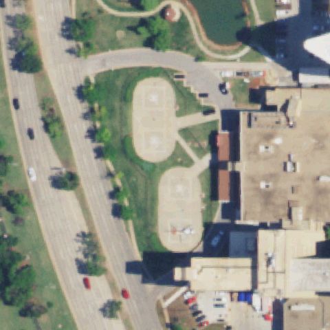 Confirmed
OKLAHOMA CITY, OK
35.4812027780001, -97.5027249999999
Multiple marked landing pads on the medical campus, a marked pad sits near center.
✓ Confirmed by AI vision with Claude Opus 4.8
 Confirmed
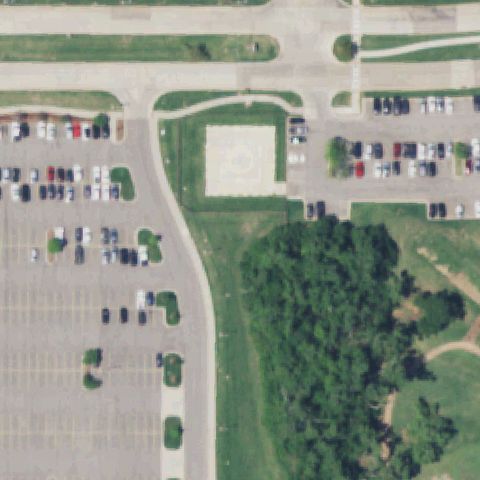
OKLAHOMA CITY, OK
35.6044972220001, -97.600955556
Square concrete pad with a faint circular marking centered beside parking lots.
✓ Confirmed by AI vision with Claude Opus 4.8
 Confirmed
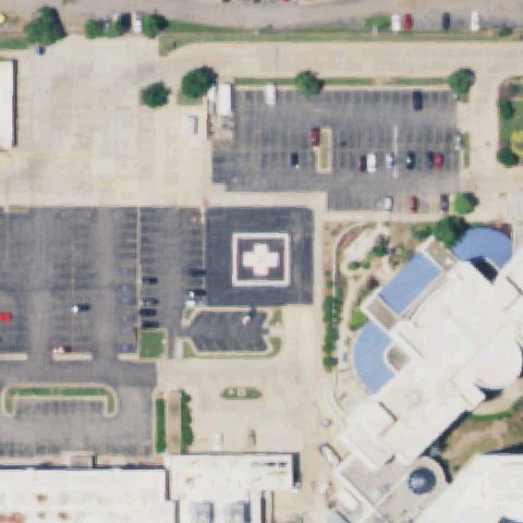
OKLAHOMA CITY, OK
35.4234361110001, -97.533177778
Dark pad with bordered white cross marking near center in the hospital lot.
✓ Confirmed by AI vision with Claude Opus 4.8
 Confirmed
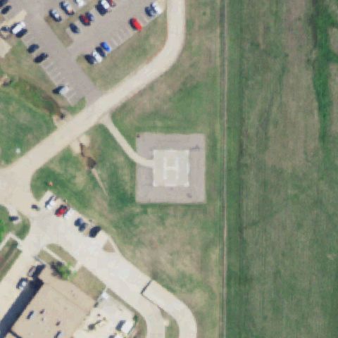
OKLAHOMA CITY, OK
35.503055556, -97.4681944439999
Square pad with a clearly painted white H at the image center on open ground.
✓ Confirmed by AI vision with Claude Opus 4.8
 Confirmed
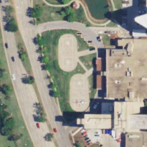
OKLAHOMA CITY, OK
35.481197222, -97.502716667
Marked landing pads on the medical campus, a marked pad sits near image center.
✓ Confirmed by AI vision with Claude Opus 4.8
 Confirmed
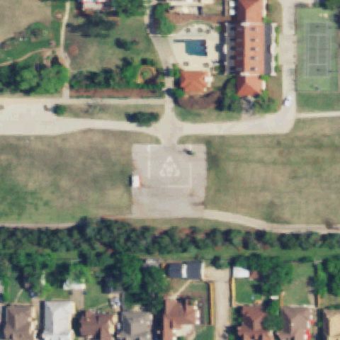
OKLAHOMA CITY, OK
35.492005556, -97.497241667
Square pad with a white circular/cross marking at the image center on a lawn.
✓ Confirmed by AI vision with Claude Opus 4.8
 Confirmed
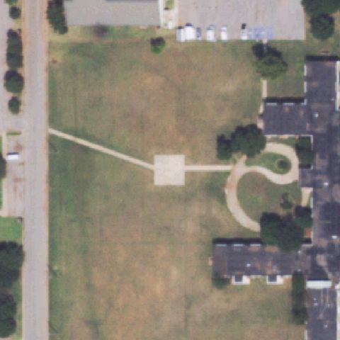
CLINTON, OK
35.5147916670001, -98.998744444
Distinct square concrete prepared pad with access path near image center.
✓ Confirmed by AI vision with Claude Opus 4.8
 Confirmed
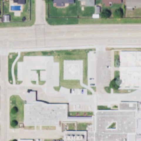
DUNCAN, OK
34.5213555560001, -97.976888889
Square pad with a faint circular marking near image center in a campus courtyard.
✓ Confirmed by AI vision with Claude Opus 4.8
 Confirmed
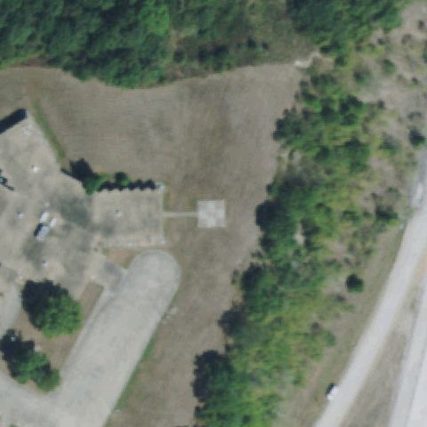
EUFAULA, OK
35.311, -95.591097222
Small square concrete pad with access path near image center on a cleared lot.
✓ Confirmed by AI vision with Claude Opus 4.8
 Confirmed
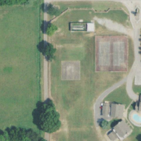
KETCHUM, OK
36.5530027780001, -94.970452778
Faint light square prepared pad near image center in an open grassy area.
✓ Confirmed by AI vision with Claude Opus 4.8
 Confirmed
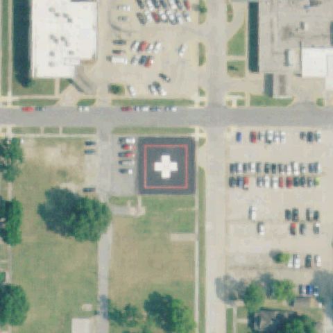
MIAMI, OK
36.871977778, -94.881136111
Large red-bordered pad with white cross marking centered between parking lots.
✓ Confirmed by AI vision with Claude Opus 4.8
 Confirmed
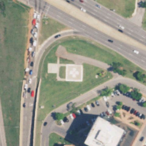
OKLAHOMA CITY, OK
35.531005556, -97.5780194439999
Square pad with white cross marking near image center on the medical campus.
✓ Confirmed by AI vision with Claude Opus 4.8
 Confirmed
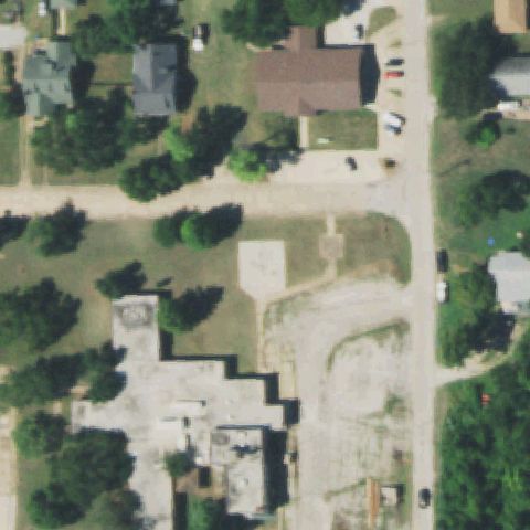
PAWNEE, OK
36.3307500000001, -96.799605556
Faint square concrete prepared pad near image center beside the hospital lot.
✓ Confirmed by AI vision with Claude Opus 4.8
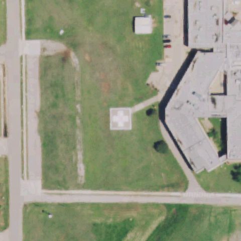 Confirmed
PERRY, OK
36.2883, -97.300269444
White square pad with a green cross marker sits just left of image center near the hospital.
✓ Confirmed by AI vision with Claude Opus 4.8
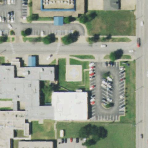 Confirmed
SAPULPA, OK
35.9931583330001, -96.099575
A circular pad with a cross marking is visible just left of center beside the hospital lawn.
✓ Confirmed by AI vision with Claude Opus 4.8
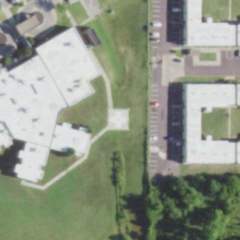 Confirmed
SEMINOLE, OK
35.244861111, -96.697758333
A faint square pad bearing a cross marking lies at image center between the two buildings.
✓ Confirmed by AI vision with Claude Opus 4.8
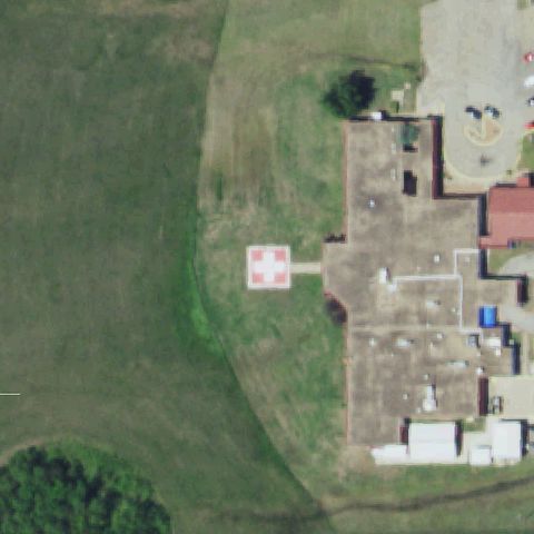 Confirmed
STROUD, OK
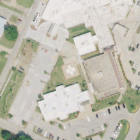
35.748472222, -96.683763889
A red-and-white square pad with a cross marking is at center-left beside the hospital.
✓ Confirmed by AI vision with Claude Opus 4.8
 Confirmed
VINITA, OK
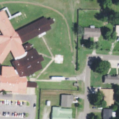
36.653438889, -95.156666667
A square pad with a cross marking sits near image center on the hospital lawn.
✓ Confirmed by AI vision with Claude Opus 4.8
 Confirmed
WAGONER, OK
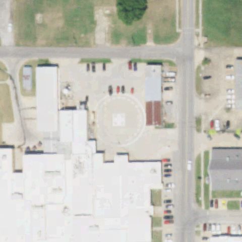
35.9617555560001, -95.3914
A small distinct prepared square pad is visible at image center in the open grass.
✓ Confirmed by AI vision with Claude Opus 4.8
 Confirmed
PRYOR, OK
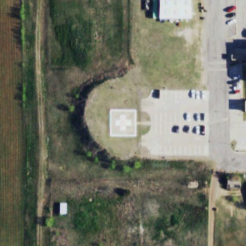
36.3087944440001, -95.304025
A circular touchdown pad with a center marking sits near image center by the building.
✓ Confirmed by AI vision with Claude Opus 4.8
 Confirmed
SHATTUCK, OK
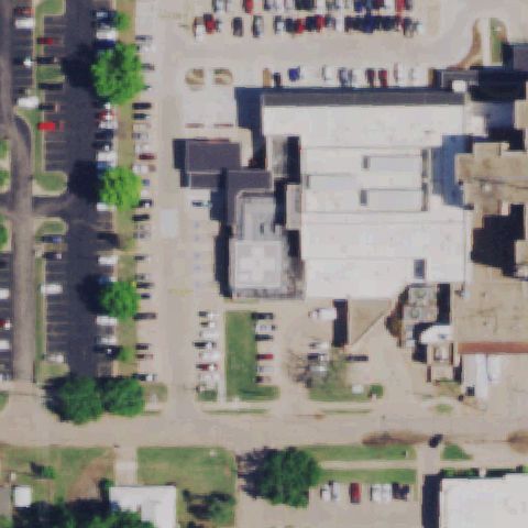
36.267394444, -99.883405556
A white square pad with a cross marking sits at center beside the parking lot.
✓ Confirmed by AI vision with Claude Opus 4.8
 Confirmed
STILLWATER, OK
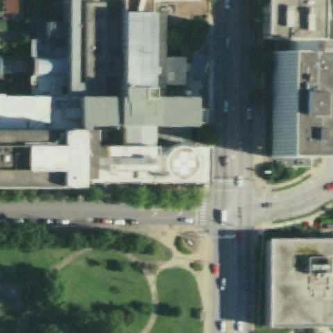
36.1149333330001, -97.075922222
A faint cross-marked pad appears on the lower rooftop near image center of the medical center.
✓ Confirmed by AI vision with Claude Opus 4.8
 Confirmed
TULSA, OK
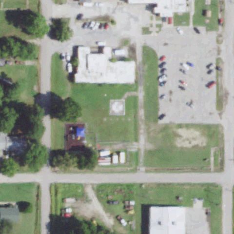
36.146058333, -95.967425
A circular pad with a cross marking sits on the building roof near image center.
✓ Confirmed by AI vision with Claude Opus 4.8
 Confirmed
WETUMKA, OK
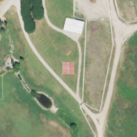
35.2334216670001, -96.2386175
A faint light square pad is visible at image center within the open block.
✓ Confirmed by AI vision with Claude Opus 4.8
 Confirmed
LENAPAH, OK
36.8571027780001, -95.4729444439999
A red four-quadrant marked pad sits near image center in the ranch field.
✓ Confirmed by AI vision with Claude Opus 4.8
 Confirmed
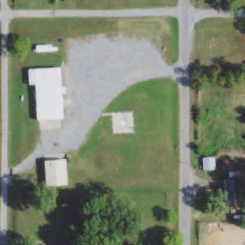
ATWOOD, OK
34.9574666670001, -96.338358333
A distinct prepared square pad sits at image center on the gravel/grass lot.
✓ Confirmed by AI vision with Claude Opus 4.8
 Confirmed
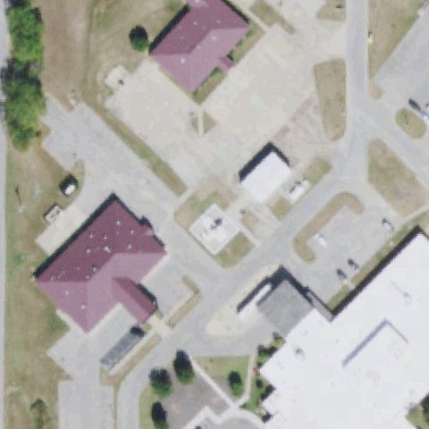
HENRYETTA, OK
35.4385833330001, -96.016044444
A small light square prepared pad is visible near image center between the buildings.
✓ Confirmed by AI vision with Claude Opus 4.8
 Confirmed
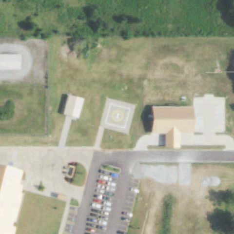
JAY, OK
36.435036111, -94.778663889
A circular pad with a center marking sits near image center beside the health center.
✓ Confirmed by AI vision with Claude Opus 4.8
 Confirmed
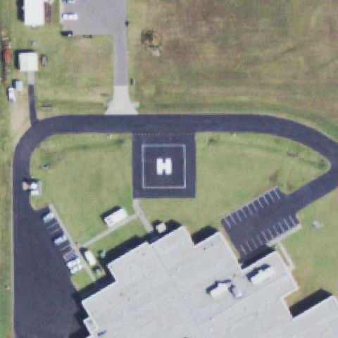
WEATHERFORD, OK
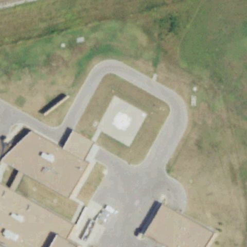
35.5398638890001, -98.6623638889999
An asphalt pad with a clear painted H marking sits at image center surrounded by the access loop.
✓ Confirmed by AI vision with Claude Opus 4.8
 Confirmed
OKEMAH, OK
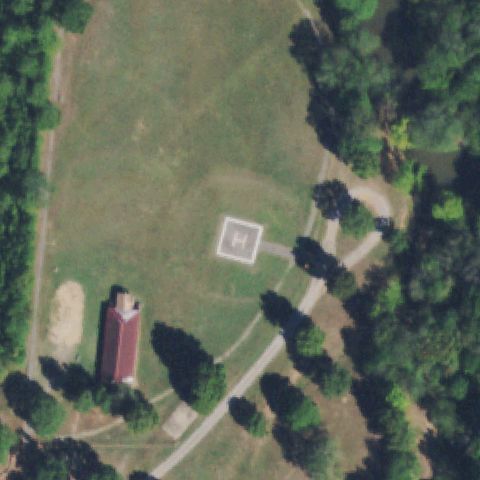
35.42305, -96.276391667
A light square prepared pad is visible at image center within the building loop driveway.
✓ Confirmed by AI vision with Claude Opus 4.8
 Confirmed
WILBURTON, OK
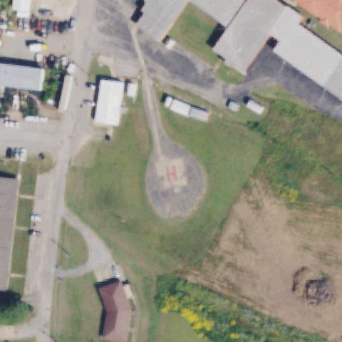
34.8114138890001, -95.3077111109999
A square pad with an H marking sits at image center in the open field.
✓ Confirmed by AI vision with Claude Opus 4.8
 Confirmed
WILBURTON, OK
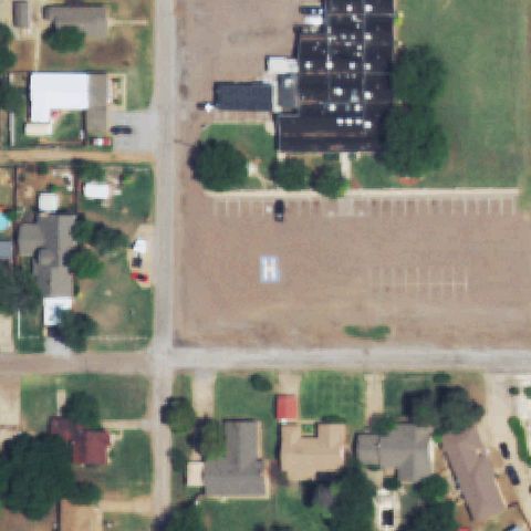
34.918708333, -95.320827778
A circular pad with a red painted H sits near image center in the open lot.
✓ Confirmed by AI vision with Claude Opus 4.8
 Confirmed
HOLLIS, OK
34.6917460000001, -99.914584
A square pad with a painted H marking sits near image center in the open block.
✓ Confirmed by AI vision with Claude Opus 4.8