 Not visible
OH30 Whalen
AMELIA, OH
38.9930444440001, -84.171313889
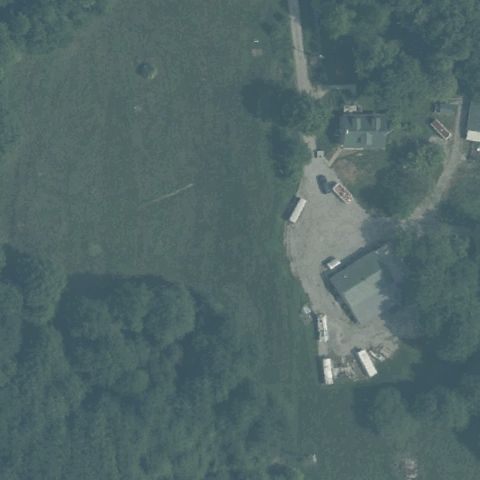
Center is forest and a small rural lot with vehicles, no pad marking visible.
80% confidence
Verify on the map →
Is there really a pad here?
Data: FAA Airports (ArcGIS open layer) | Imagery: USGS NAIP (public domain) | AI vision: Claude Opus 4.8 | built 2026-07-05
A flag means a pad could not be confirmed from current imagery - never that a heliport is missing, fake, or mislocated. Help us check: vote on each one below.
Not visibleAMELIA, OH
38.9930444440001, -84.171313889
Center is forest and a small rural lot with vehicles, no pad marking visible.
 Not visible
BALTIC, OH
40.447777778, -81.700277778
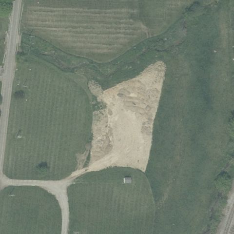
Center is a bare dirt/gravel clearing among fields with no distinct pad or markings.
 Not visible
ASHLAND, OH
40.8767230560001, -82.295439167
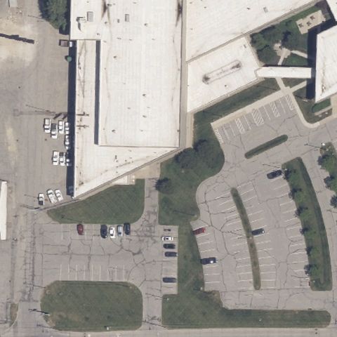
Center shows industrial buildings and parking lots with no pad marking.
 Not visible
ASHTABULA, OH
41.880885, -80.7937709999999
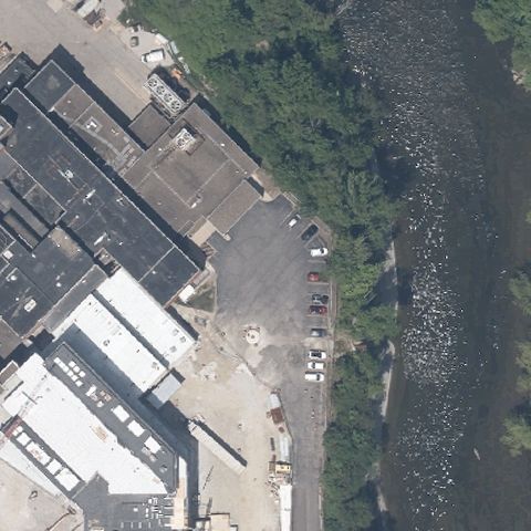
Center is a paved lot beside a river with no helipad markings.
 Not visible
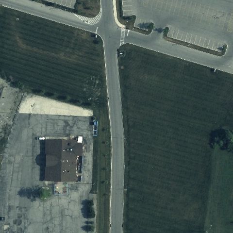
BELLEFONTAINE, OH
40.3772750000001, -83.7540999999999
Center is a road intersection and small lot with no pad marking.
 Not visible
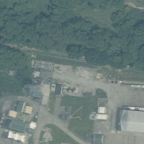
BLUE ASH, OH
39.2578358330001, -84.388273611
Center is an industrial yard and gravel lot with no pad markings.
 Not visible
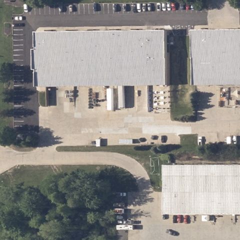
BROADVIEW HEIGHTS, OH
41.2905555560001, -81.6838888889999
Center is a large warehouse roof with no helipad marking.
 Not visible
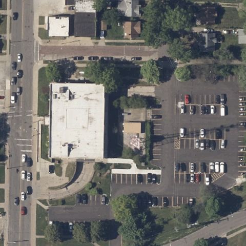
CLEVELAND, OH
41.448105556, -81.779022778
Center is a building roof and parking lot with no pad marking.
 Not visible
CLEVELAND, OH
41.471996389, -81.619571111
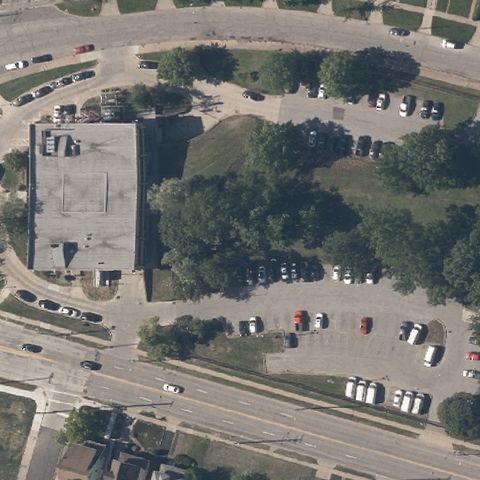
Center is a paved lot and parking area with no helipad markings.
 Not visible
COLUMBUS, OH
39.962564167, -82.999349722
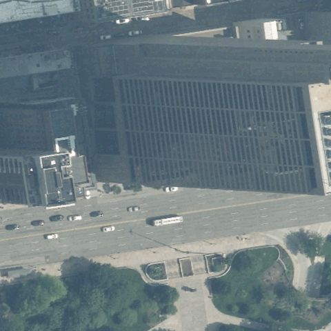
Center is a large building roof and plaza with no pad marking.
 Not visible
DAYTON, OH
39.7575555560001, -84.188394444
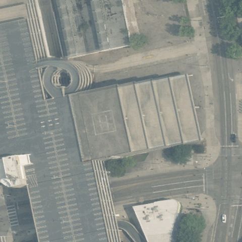
Center is a transportation center roof and ramps with no pad marking.
 Not visible
EAST CANTON, OH
40.7359527780001, -81.2472472219999
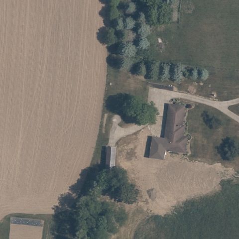
Center is farmland and a rural homestead with no pad marking.
 Not visible
CHAGRIN FALLS, OH
41.444533333, -81.3241055559999
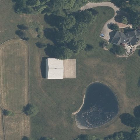
Center is a rural property with a building, lawn and pond, no pad marking.
 Not visible
COLUMBUS, OH
39.954552778, -82.996702778
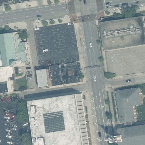
Center is a city block with building roofs and a road, no pad marking.
 Not visible
CUYAHOGA FALLS, OH
41.144936111, -81.516002778
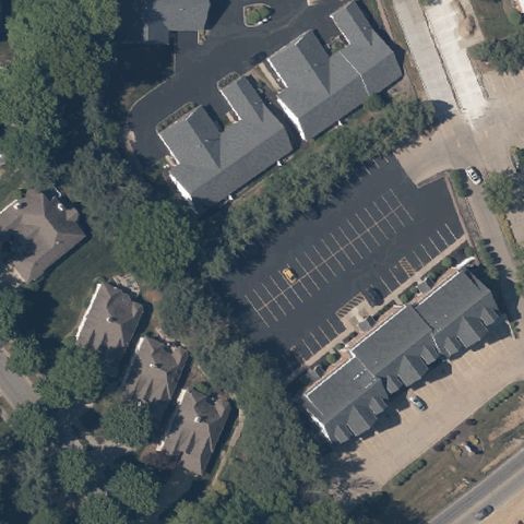
Wooded residential rooftops with no pad at center.
 Not visible
CUYAHOGA FALLS, OH
41.1772888890001, -81.523375
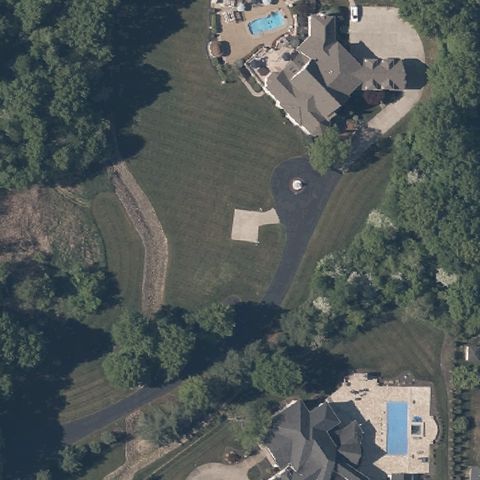
Residential lawn with pools and houses, no helipad at center.
 Not visible
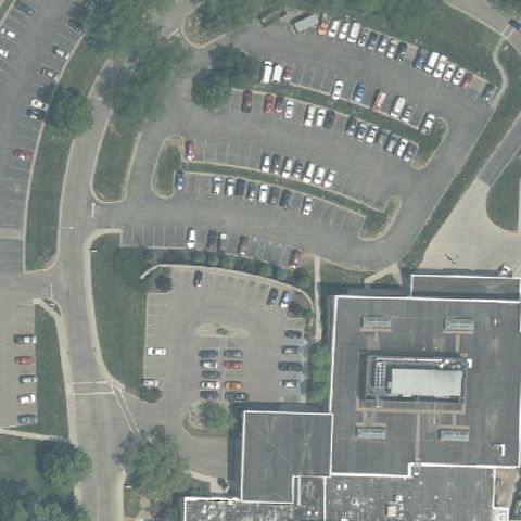
DOVER, OH
40.5157131940001, -81.455958056
Curving hospital parking lots with no helipad at center.
 Not visible
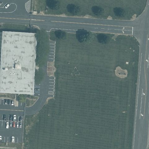
LEBANON, OH
39.4310055560001, -84.283158333
Open grass field beside a building with no pad at center.
 Not visible
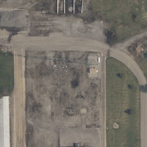
LIMA, OH
40.771162222, -84.106058611
Bare dirt and gravel maintenance lot with no pad at center.
 Not visible
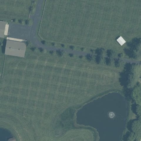
MORROW, OH
39.3336711110001, -84.138823611
Grass field with a pond and no helipad at center.
 Not visible
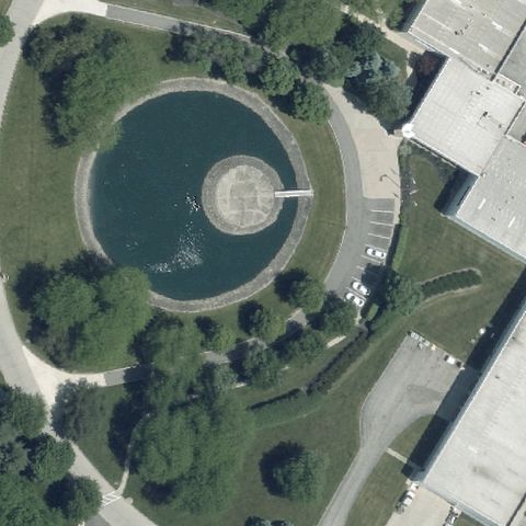
HEBRON, OH
39.953611111, -82.532777778
Center is a pond with a fountain, no helipad present.
 Not visible
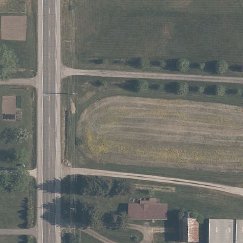
MIDDLEFIELD, OH
41.450183333, -81.0508
Open field with a dirt oval and no helipad at center.
 Not visible
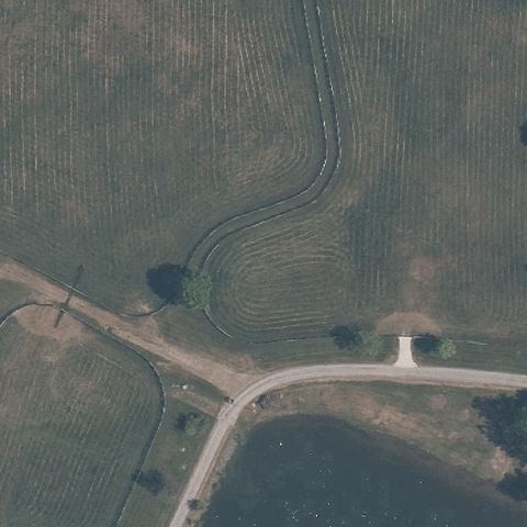
NOVELTY, OH
41.4495000000001, -81.2868999999999
Open rural field with dirt tracks and no helipad at center.
 Not visible
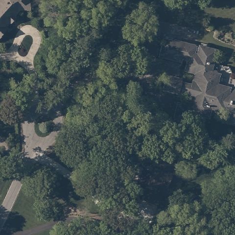
PEPPER PIKE, OH
41.476441944, -81.465951667
Center is dense tree canopy over a residential property with no visible pad.
 Not visible
PORT CLINTON, OH
41.5060472220001, -82.930630556
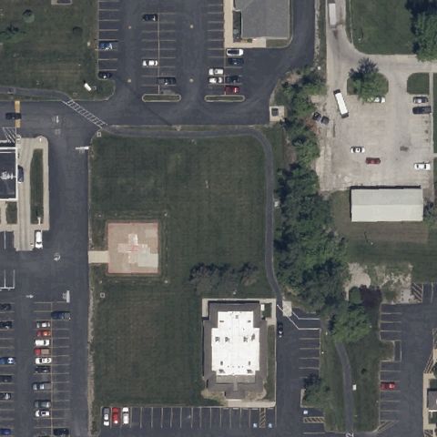
Center shows open lawn and parking with no discernible landing markings.
 Not visible
POWELL, OH
40.157858333, -83.052202778
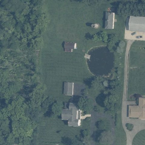
Center is rural lawn and houses with a pond, no pad visible.
 Not visible
SHARONVILLE, OH
39.2858911110001, -84.4302197219999
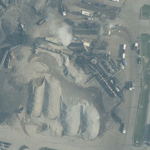
Center is an asphalt plant with stockpiles and equipment, no landing pad.
 Not visible
TIPP CITY, OH
39.9904083330001, -84.187530556
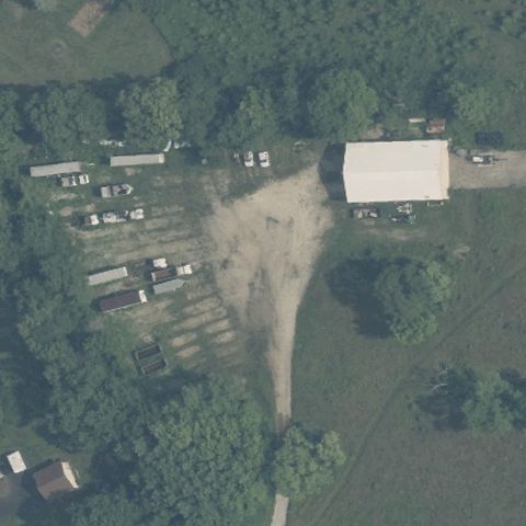
Center is a dirt/grass yard with a barn and trailers, no pad visible.
 Not visible
TOLEDO, OH
41.639772222, -83.5932680559999
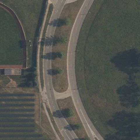
Center is curving roadway and lawn with no landing markings.
 Not visible
VERMILION, OH
41.388955556, -82.450261111
Center is a manicured estate lawn and dock with no landing pad markings.
 Not visible
COLUMBIANA, OH
40.86215, -80.696413889
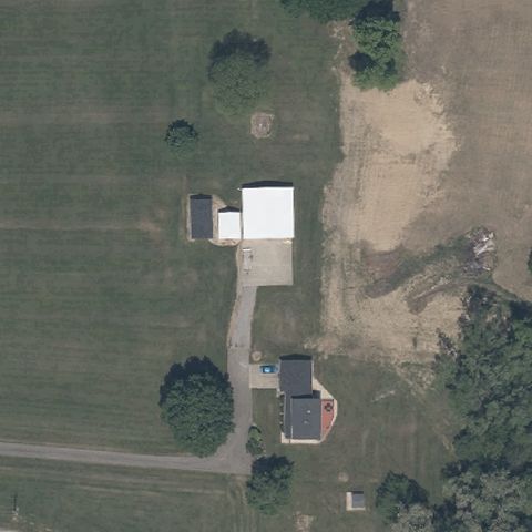
Center is a rural property with sheds and dirt, no pad markings visible.
 Not visible
HILLSBORO, OH
39.180747222, -83.783663889
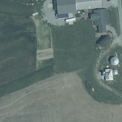
Center is a rural ranch lawn and drive with no landing markings visible.
 Not visible
DUBLIN, OH
40.067684833, -83.1180009999999
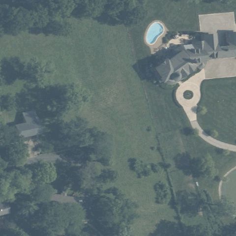
Center is wooded residential property with a pool and drive, no pad.
 Not visible
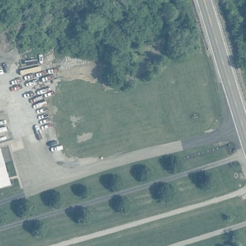
ASHVILLE, OH
39.7181055560001, -83.019377778
Center is an open grass field with no visible landing markings.
 Not visible
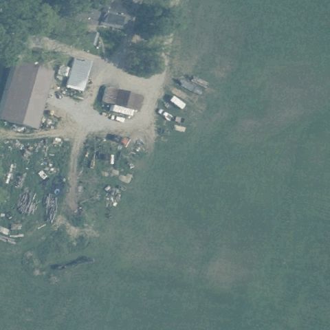
COLUMBUS, OH
39.9123472220001, -83.057838889
Center is open grass field by a lakeside residence with no pad.
 Off-center
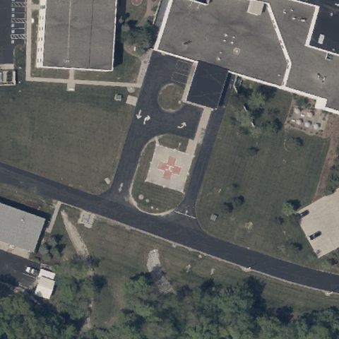
DEFIANCE, OH
41.2982027780001, -84.377347222
A circular pad with red cross and H is present but sits lower-right of center.
 Off-center
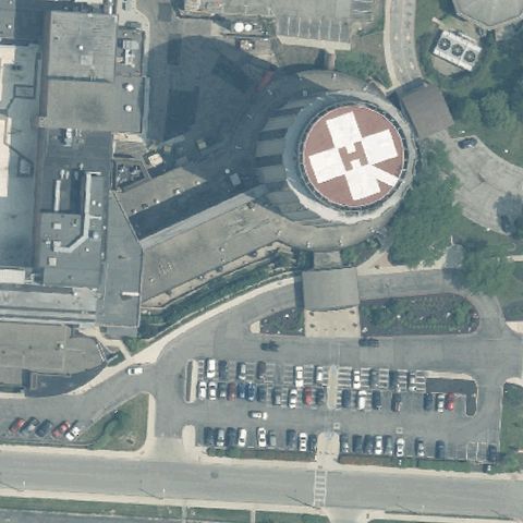
COLUMBUS, OH
39.970341944, -82.962403611
Clear red circular rooftop helipad with H, but offset to the upper right.
 Off-center
CRESTLINE, OH
40.7928305560001, -82.739338889
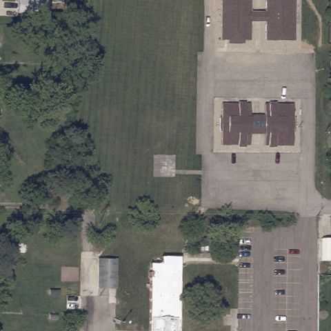
Clear painted H pad on apron, but located right of center.
 Off-center
MARYSVILLE, OH
40.280888889, -83.504091667
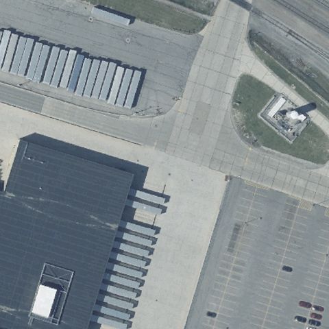
A marked square pad is visible but offset to the right of center.
 Off-center
ORRVILLE, OH
40.831994444, -81.761805556
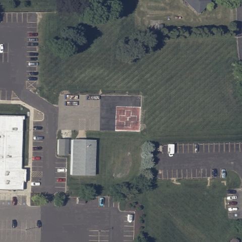
A small marked pad with H sits just left of center near the hospital lot.
 Off-center
SYLVANIA, OH
41.7084166670001, -83.692333333
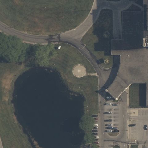
A round prepared pad sits right of center near the lot beside the pond.
 Off-center
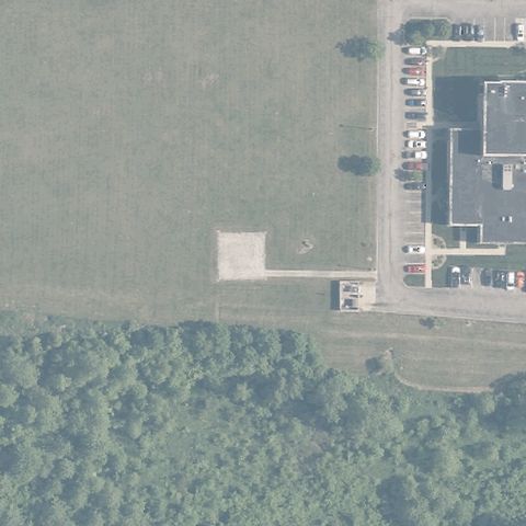
ATHENS, OH
39.333238889, -82.029194444
A small prepared square pad sits below-left of center on open field.
 Off-center
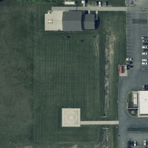
EATON, OH
39.766730556, -84.6481874999999
A circular marked pad is visible in the lower-left corner, away from center.
 Off-center
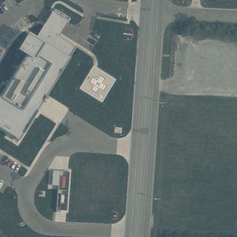
PIQUA, OH
40.149722222, -84.216944444
A marked square pad sits upper-left of center beside the building.
 Off-center
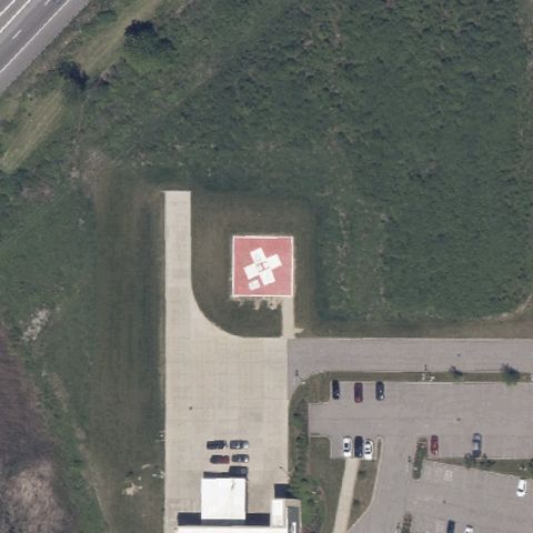
NORTH RIDGEVILLE, OH
41.383716667, -81.982433333
A red H pad is visible right of center on the prepared apron.
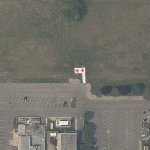 Off-center
CONNEAUT, OH
41.9384906940001, -80.586347361
A red marked pad is visible left of center beside the building.
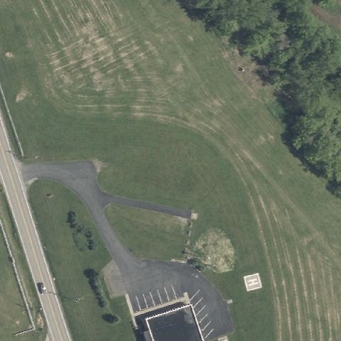 Uncertain
BANNOCK, OH
40.107014167, -80.9753733329999
A small light square marking sits near lower right but center is grass and a paved loop, no clear pad.
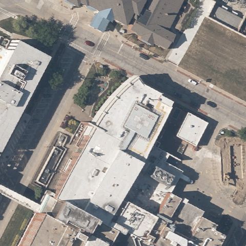 Uncertain
AKRON, OH
41.0802305560001, -81.525019444
Hospital rooftops at center show no painted H or touchdown marker.
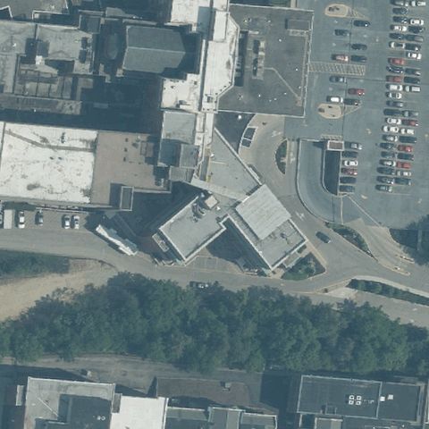 Uncertain
CINCINNATI, OH
39.1392258330001, -84.5207763889999
Center shows hospital rooftops and ramps with no clear pad marking.
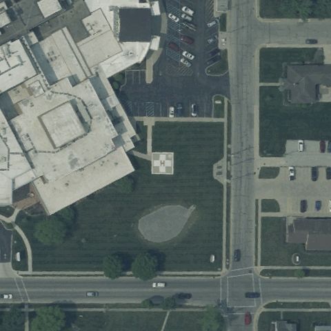 Uncertain
COLDWATER, OH
40.4802500000001, -84.638625
Center is an open grass and gravel area with a faint square but no clear pad.
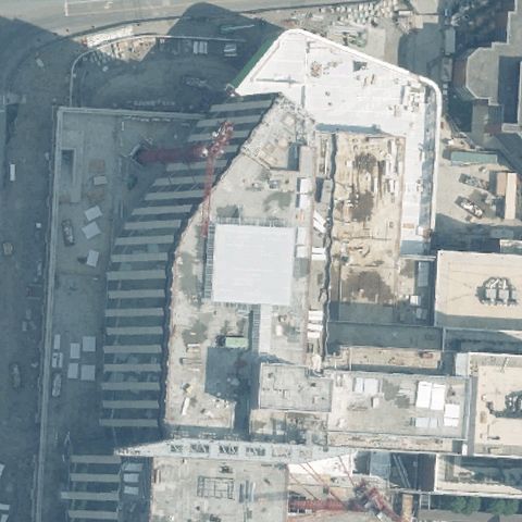 Uncertain
COLUMBUS, OH
39.9952555560001, -83.0209097219999
Center is a light building roof under construction with no clear pad marking.
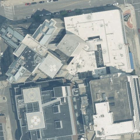 Uncertain
COLUMBUS, OH
39.960583333, -82.991475
Dense hospital rooftops at center, no distinct painted pad identifiable.
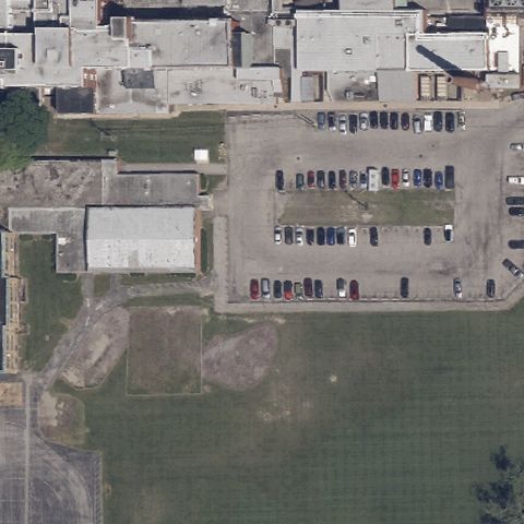 Uncertain
ELYRIA, OH
41.3654861110001, -82.096983333
Center is a paved lot with parked vehicles, no clear pad marking.
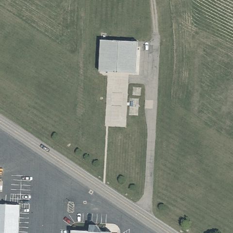 Uncertain
FREDERICKTOWN, OH
40.492863889, -82.560069444
Center shows a small building and paved drive with no pad marking.
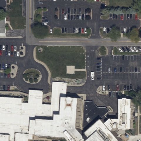 Uncertain
FREMONT, OH
41.339708333, -83.1347777779999
Center is grass and a paved drive with a faint square but no clear pad.
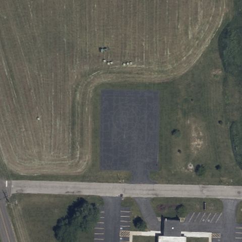 Uncertain
BUCYRUS, OH
40.8181638890001, -82.980136111
Center is a bare graded field with no pad markings; imagery may predate construction.
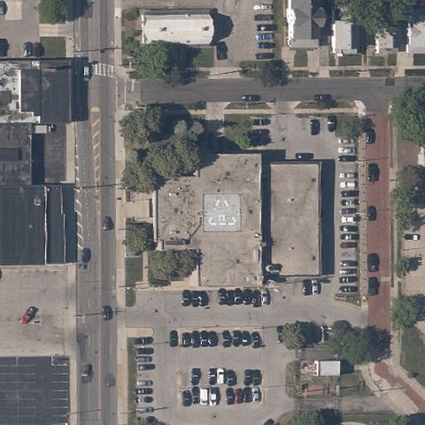 Uncertain
CLEVELAND, OH
41.5552000000001, -81.575013889
Center is a building roof with faint markings but no clear helipad.
 Uncertain
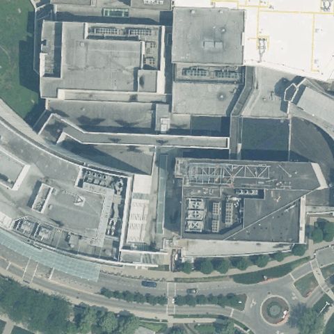
COLUMBUS, OH
39.9526865, -82.9801555
Dense hospital rooftops with no distinct helipad marking at center.
 Uncertain
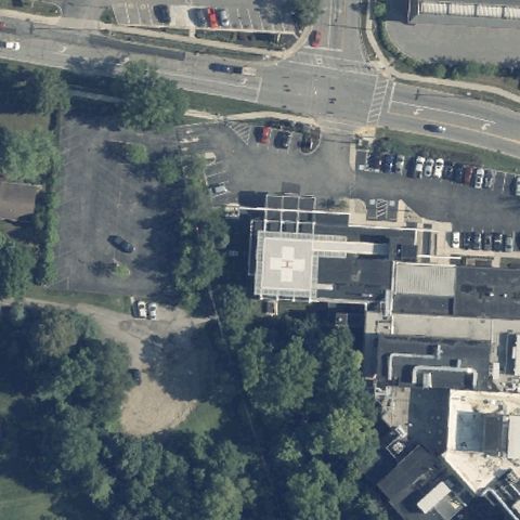
DELAWARE, OH
40.3060611110001, -83.090608333
Parking lot and building roof with no distinct pad at center.
 Uncertain
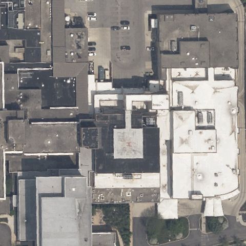
FINDLAY, OH
41.017777778, -83.651388889
Hospital rooftop complex with no clearly distinguishable pad at center.
 Uncertain
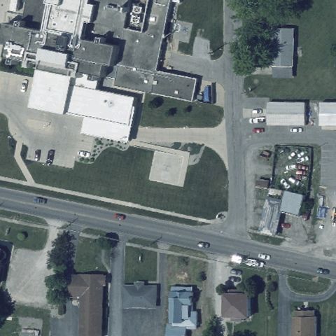
KENTON, OH
40.645777778, -83.5954305559999
Industrial grass lot with no pad marking at center.
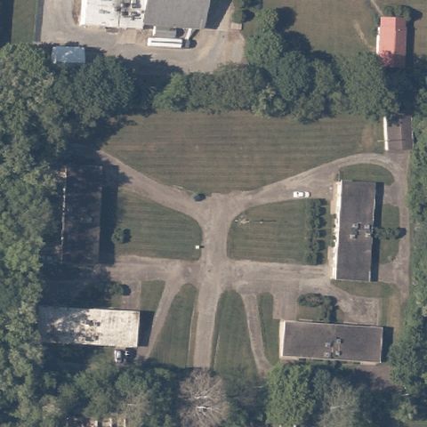 Uncertain
MASSILLON, OH
40.8186683330001, -81.523731111
Open grassy lot with crossing paths and no pad at center.
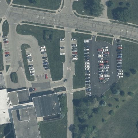 Uncertain
MIAMISBURG, OH
39.637908333, -84.247494444
Hospital parking lots with no distinct pad at center.
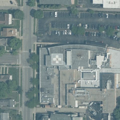 Uncertain
OXFORD, OH
39.5125833330001, -84.741933333
Hospital buildings and roofs with no distinct pad at center.
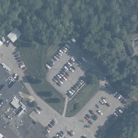 Uncertain
MARIETTA, OH
39.4406333330001, -81.4435444439999
Parking lots and trees with no distinct pad at center.
 Uncertain
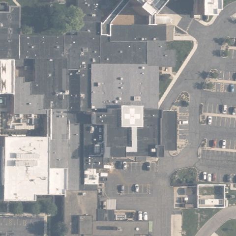
MARYSVILLE, OH
40.229730556, -83.367633333
Hospital rooftops with no distinct helipad at center.
 Uncertain
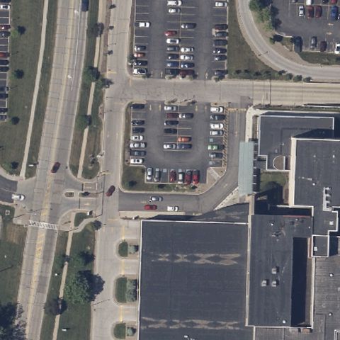
MIDDLEBURG HEIGHTS, OH
41.371002778, -81.8328541669999
Parking lots and building roof with no pad at center.
 Uncertain
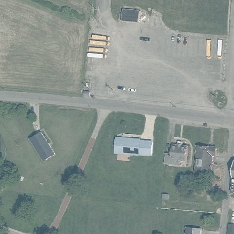
OAK HILL, OH
38.8959088890001, -82.577106111
Rural lot with sheds and gravel, no distinct pad at center.
 Uncertain
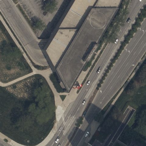
TOLEDO, OH
41.6542158330001, -83.531322222
Center is a downtown building roof with no clear pad markings visible.
 Uncertain
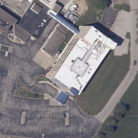
WADSWORTH, OH
41.0277694440001, -81.7506
Center is the hospital roof and lot with no distinct pad marking visible.
 Uncertain
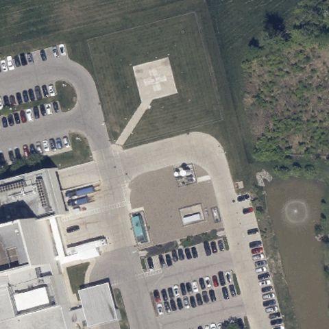
AVON, OH
41.4696640000001, -81.981167
Center shows a light prepared area but no clear landing markings; likely pre-construction.
 Uncertain
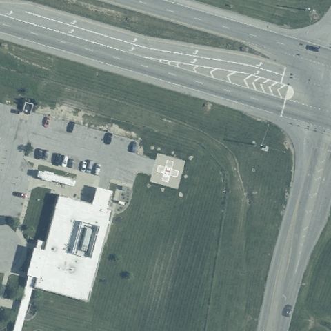
MOUNT ORAB, OH
39.045998083, -83.940905444
Center shows open grass and a building roof with no discernible landing markings.
 Uncertain
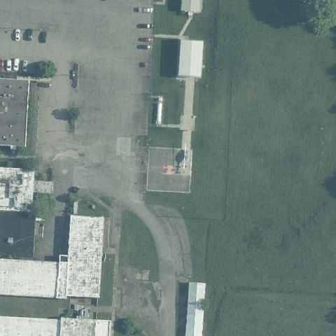
GEORGETOWN, OH
38.8591018610001, -83.895883139
Center is an open lot with faint markings but no clear helipad.
 Uncertain
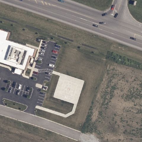
ASHLAND, OH
40.8604722220001, -82.277525
Center shows building, parking, and open field with no discernible pad.
 Uncertain
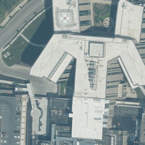
CINCINNATI, OH
39.1420930560001, -84.502652778
Dense building rooftops at center with no clearly marked pad.
 Uncertain
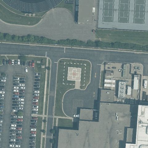
LIBERTY TOWNSHIP, OH
39.3773305560001, -84.3684
Center shows paved lots and grounds with faint markings, no clear pad.
 Confirmed
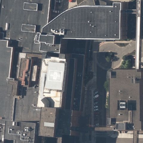
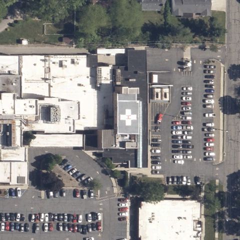
AKRON, OH
41.080711111, -81.500097222
A faint painted H is visible on a light rooftop near the center of the hospital complex.
✓ Confirmed by AI vision with Claude Opus 4.8
 Confirmed
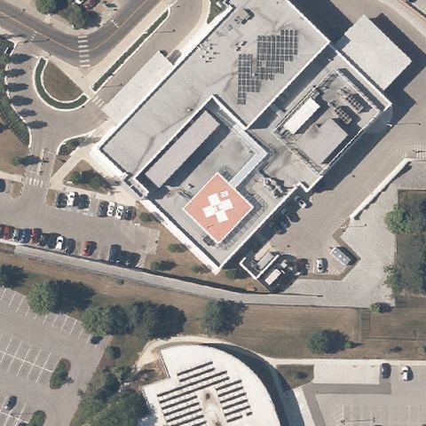
AKRON, OH
41.077024861, -81.531329861
A clear orange circular rooftop helipad with white H sits at image center.
✓ Confirmed by AI vision with Claude Opus 4.8
 Confirmed
ASHLAND, OH
40.859211111, -82.308641667
A red rooftop pad with white H and cross marking is visible at the hospital center.
✓ Confirmed by AI vision with Claude Opus 4.8
 Confirmed
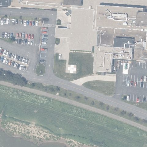
ATHENS, OH
39.326494444, -82.114633333
A faint light circular pad appears at center of the paved hospital grounds.
✓ Confirmed by AI vision with Claude Opus 4.8
 Confirmed
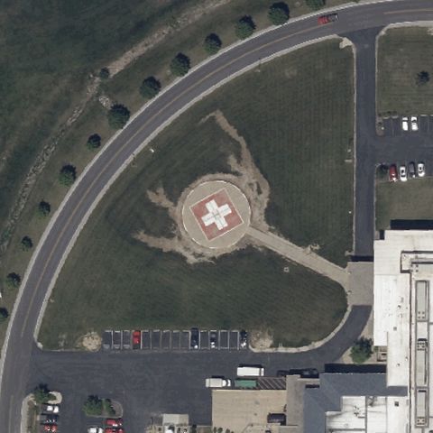
BELLEVUE, OH
41.2887030000001, -82.882352778
A circular ground pad with red cross and white H is clearly at center.
✓ Confirmed by AI vision with Claude Opus 4.8
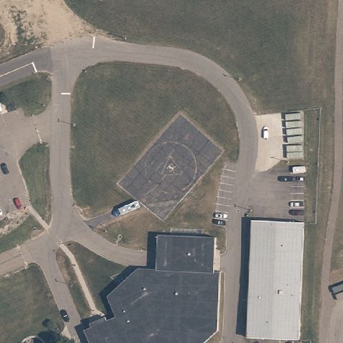 Confirmed
CANTON, OH
40.8401666670001, -81.308333333
A dark paved pad with faint marking sits at center of the sheriff facility grounds.
✓ Confirmed by AI vision with Claude Opus 4.8
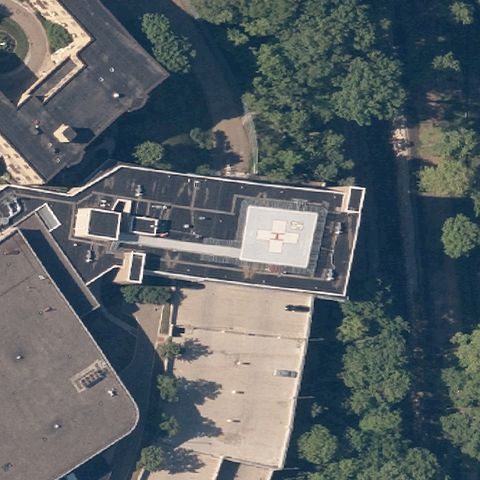 Confirmed
CANTON, OH
40.8125677780001, -81.3938275
A light square rooftop touchdown area is visible near center of the hospital roof.
✓ Confirmed by AI vision with Claude Opus 4.8
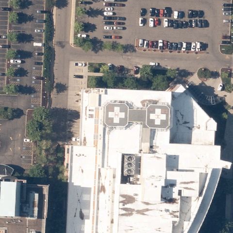 Confirmed
CANTON, OH
40.797769444, -81.403108333
Two dark rooftop pads with markings visible on the hospital, near image center.
✓ Confirmed by AI vision with Claude Opus 4.8
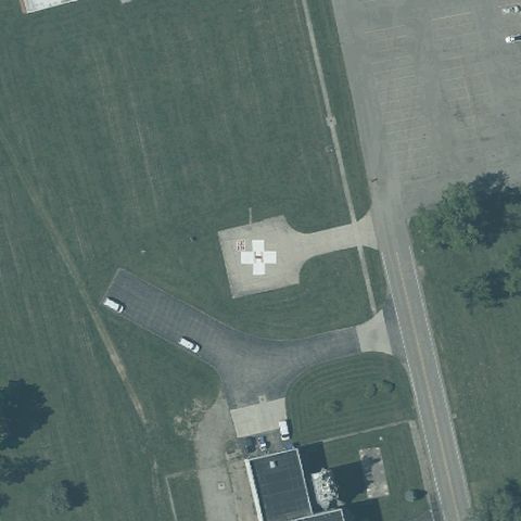 Confirmed
CHILLICOTHE, OH
39.3879250000001, -83.0193694439999
A circular ground pad with white cross and H is centered on the open lawn.
✓ Confirmed by AI vision with Claude Opus 4.8
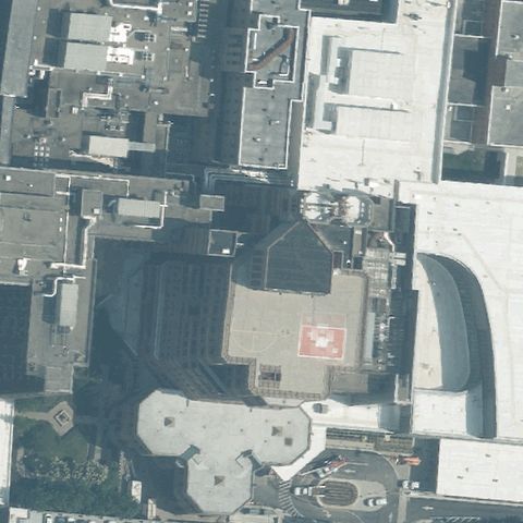 Confirmed
CINCINNATI, OH
39.1372813890001, -84.502720556
A square rooftop pad with red marking is visible at center of the hospital block.
✓ Confirmed by AI vision with Claude Opus 4.8
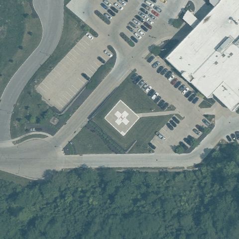 Confirmed
CINCINNATI, OH
39.203055556, -84.670558333
A ground pad with white cross and H marking is at center of the paved area.
✓ Confirmed by AI vision with Claude Opus 4.8
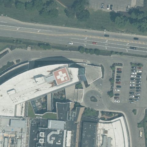 Confirmed
CINCINNATI, OH
39.206515, -84.3807305559999
A red rooftop pad with white H is visible at center of the hospital building.
✓ Confirmed by AI vision with Claude Opus 4.8
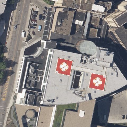 Confirmed
CLEVELAND, OH
41.4607193890001, -81.698711611
Two large red rooftop pads with white H and cross are clearly at center.
✓ Confirmed by AI vision with Claude Opus 4.8
 Confirmed
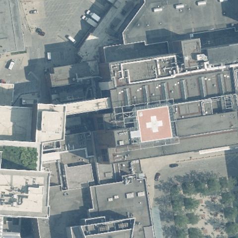
COLUMBUS, OH
39.995155556, -83.018280556
A red rooftop pad with white cross and H is visible at center of the hospital.
✓ Confirmed by AI vision with Claude Opus 4.8
 Confirmed
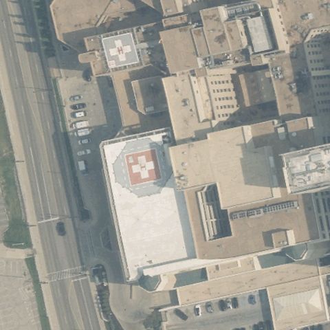
DAYTON, OH
39.7449189440001, -84.1872612779999
A red rooftop pad with white cross and H is visible at center; another upper left.
✓ Confirmed by AI vision with Claude Opus 4.8
 Confirmed
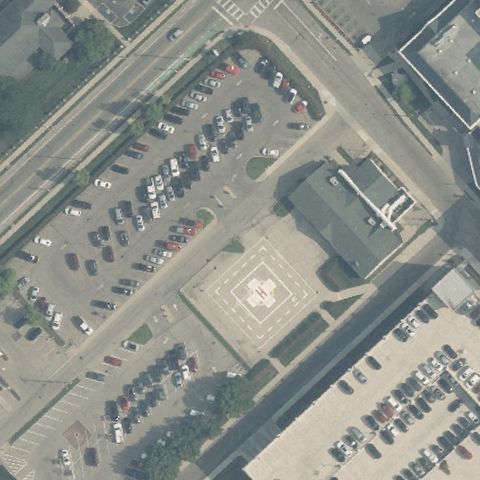
DAYTON, OH
39.7735000000001, -84.169833333
A faint checkered/square pad area is visible at center near the medical building.
✓ Confirmed by AI vision with Claude Opus 4.8
 Confirmed
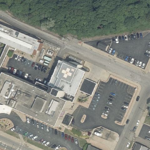
EAST LIVERPOOL, OH
40.622024722, -80.585633889
A faint rooftop pad with marking is visible at center of the hospital block.
✓ Confirmed by AI vision with Claude Opus 4.8
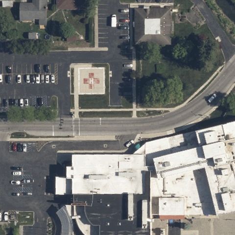 Confirmed
FOSTORIA, OH
41.163269444, -83.4242
A ground pad with red cross and H is visible at center near the hospital.
✓ Confirmed by AI vision with Claude Opus 4.8
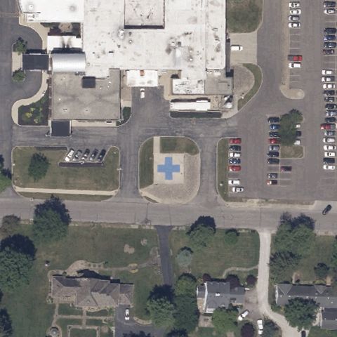 Confirmed
GALION, OH
40.730269444, -82.802002778
A light pad with blue/white cross marking is visible at center near the hospital.
✓ Confirmed by AI vision with Claude Opus 4.8
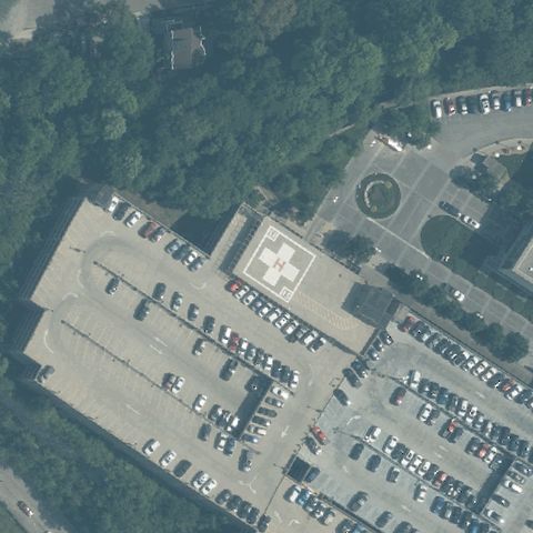 Confirmed
CINCINNATI, OH
39.121025, -84.512575
A red rooftop pad with white H is visible at center of the hospital building.
✓ Confirmed by AI vision with Claude Opus 4.8
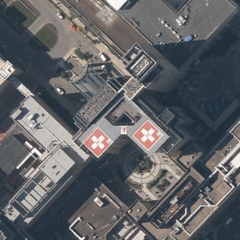 Confirmed
CLEVELAND, OH
41.5061569440001, -81.605393056
Two red rooftop pads with white H and cross are at center of the medical complex.
✓ Confirmed by AI vision with Claude Opus 4.8
 Confirmed
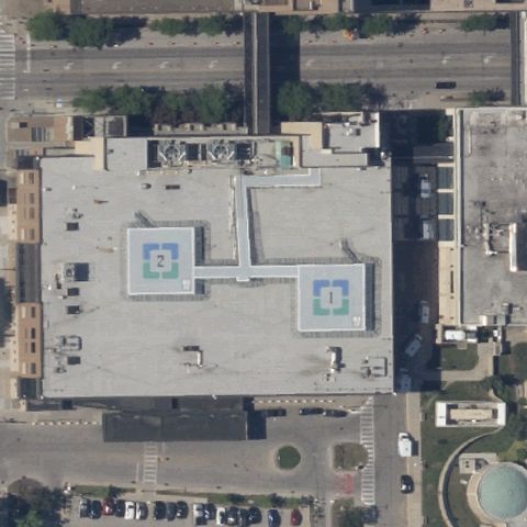
CLEVELAND, OH
41.500616667, -81.6220749999999
Two light blue square rooftop pads with H markings are at center of the building.
✓ Confirmed by AI vision with Claude Opus 4.8
 Confirmed
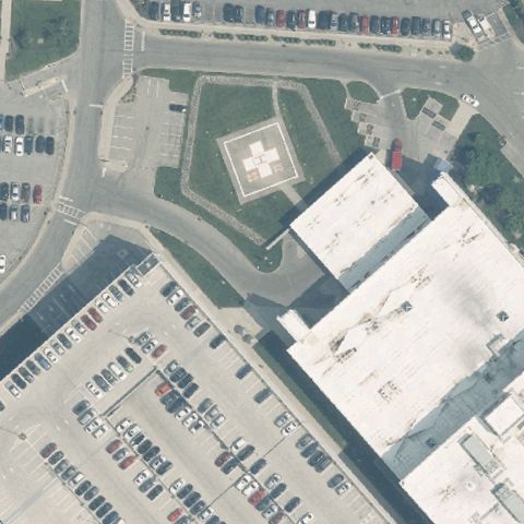
COLUMBUS, OH
40.0310625000001, -83.0361583329999
A square ground pad with red cross and H is at center near the hospital.
✓ Confirmed by AI vision with Claude Opus 4.8
 Confirmed
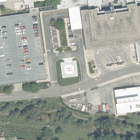
COLUMBUS, OH
39.9761833330001, -82.843794444
A circular/square ground pad with white cross and H is visible at center.
✓ Confirmed by AI vision with Claude Opus 4.8
 Confirmed
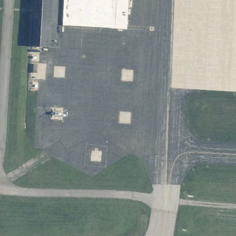
COLUMBUS, OH
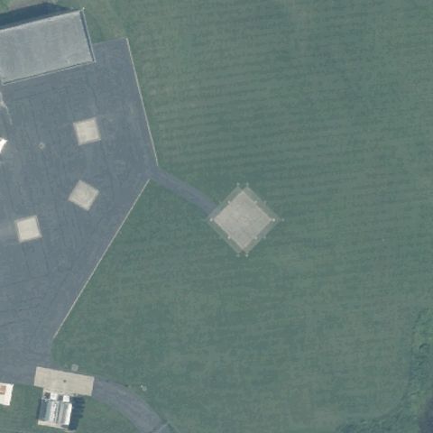
40.085, -83.0683333329999
Faint square touchdown markers on an airfield apron near center.
✓ Confirmed by AI vision with Claude Opus 4.8
 Confirmed
COLUMBUS, OH
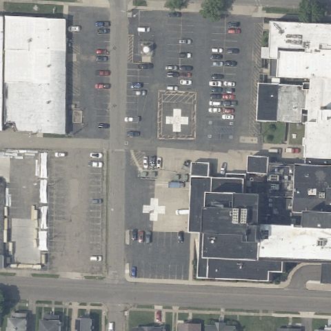
39.963333333, -83.0608333329999
A faint square prepared pad marking sits at the image center on grass.
✓ Confirmed by AI vision with Claude Opus 4.8
 Confirmed
COSHOCTON, OH
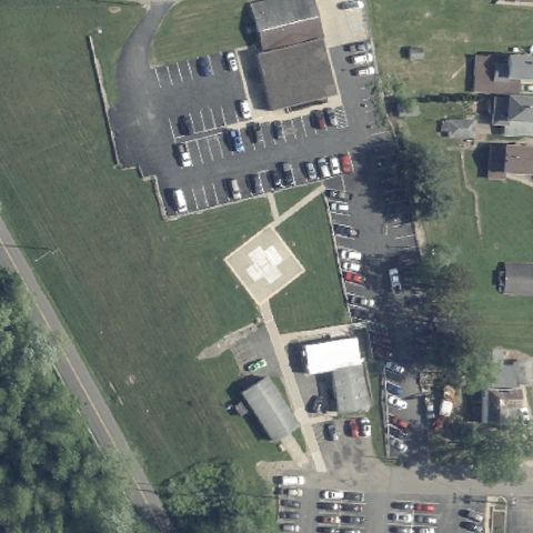
40.270963889, -81.848558333
A white H/cross pad marking is visible near the center of the lot.
✓ Confirmed by AI vision with Claude Opus 4.8
 Confirmed
DENNISON, OH
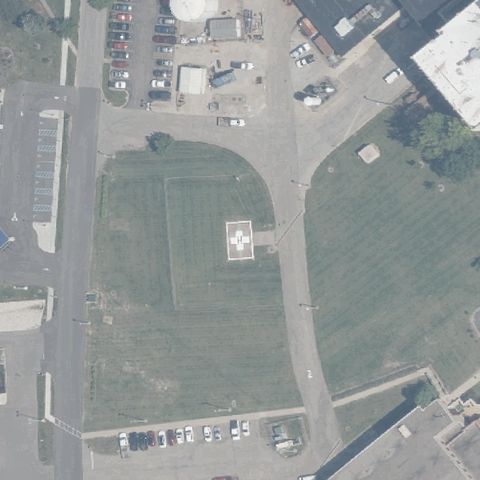
40.402566667, -81.337336111
A distinct light concrete pad with H marking sits near image center.
✓ Confirmed by AI vision with Claude Opus 4.8
 Confirmed
GALLIPOLIS, OH
38.845822222, -82.2387666669999
A white square pad with marking sits near center on the grass field.
✓ Confirmed by AI vision with Claude Opus 4.8
 Confirmed
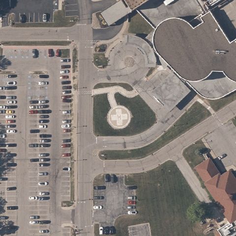
GARFIELD HEIGHTS, OH
41.420308333, -81.5995444439999
Circular light helipad with H marking near image center.
✓ Confirmed by AI vision with Claude Opus 4.8
 Confirmed
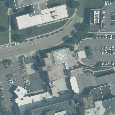
HAMILTON, OH
39.4163694440001, -84.573161111
A faint square rooftop pad marking is present near center.
✓ Confirmed by AI vision with Claude Opus 4.8
 Confirmed
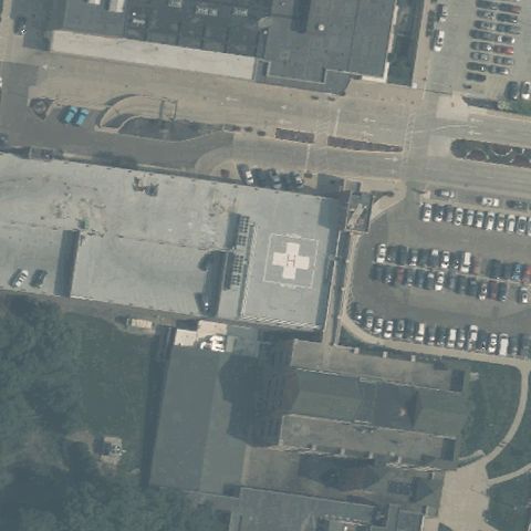
KETTERING, OH
39.6953833330001, -84.1922777779999
A white cross/H rooftop pad marking is visible near center.
✓ Confirmed by AI vision with Claude Opus 4.8
 Confirmed
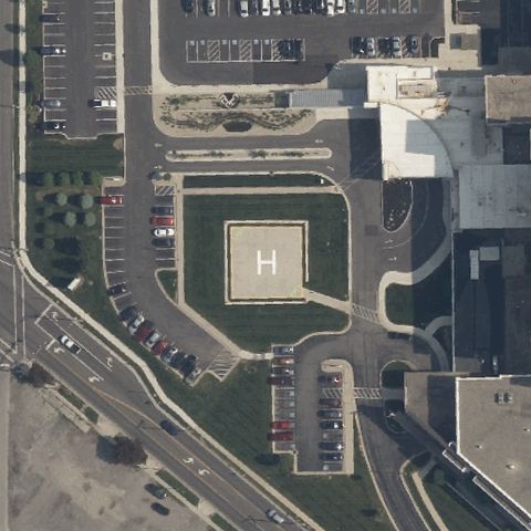
LIMA, OH
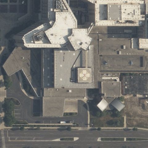
40.735677778, -84.086891667
Clear green-bordered helipad with white H near image center.
✓ Confirmed by AI vision with Claude Opus 4.8
 Confirmed
LIMA, OH
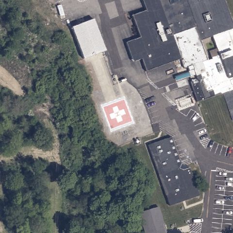
40.7405527780001, -84.118302778
Red rooftop helipad with H marking near image center.
✓ Confirmed by AI vision with Claude Opus 4.8
 Confirmed
LODI, OH
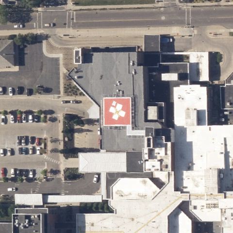
41.035625, -82.0149
Red helipad with white cross/H near center beside the hospital.
✓ Confirmed by AI vision with Claude Opus 4.8
 Confirmed
MANSFIELD, OH
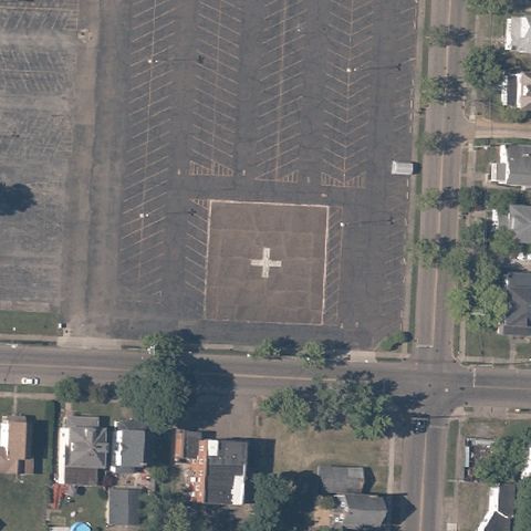
40.7528722220001, -82.529483333
Red rooftop helipad with H marking near image center.
✓ Confirmed by AI vision with Claude Opus 4.8
 Confirmed
MASSILLON, OH
40.8046166670001, -81.516597222
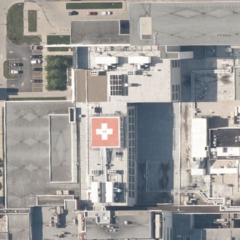
A faint white cross/H marking on a large lot near image center.
✓ Confirmed by AI vision with Claude Opus 4.8
 Confirmed
MAYFIELD HEIGHTS, OH
41.5190666670001, -81.4356999999999
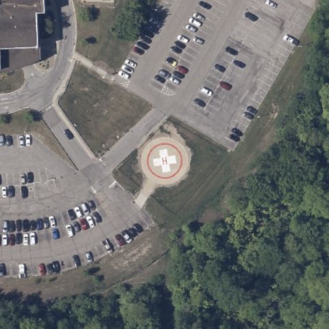
Red rooftop helipad with white cross near center.
✓ Confirmed by AI vision with Claude Opus 4.8
 Confirmed
MEDINA, OH
41.1370138890001, -81.836719444
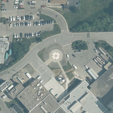
Circular helipad with H marking near image center.
✓ Confirmed by AI vision with Claude Opus 4.8
 Confirmed
MONTGOMERY, OH
39.2532, -84.3419111109999
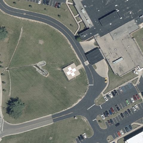
Circular helipad with H marking near image center.
✓ Confirmed by AI vision with Claude Opus 4.8
 Confirmed
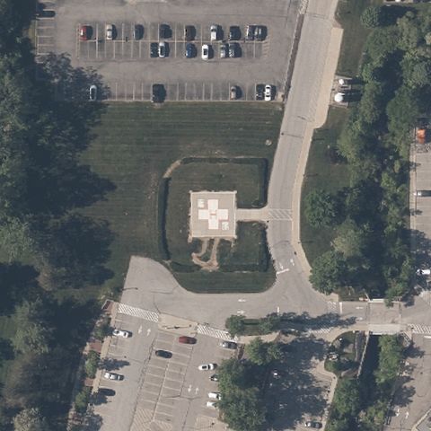
MOUNT VERNON, OH
40.398833333, -82.4489972219999
White square pad with H marking near center on grass.
✓ Confirmed by AI vision with Claude Opus 4.8
 Confirmed
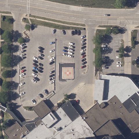
WARRENSVILLE HEIGHTS, OH
41.446741667, -81.538205556
White square helipad with H marking near image center.
✓ Confirmed by AI vision with Claude Opus 4.8
 Confirmed
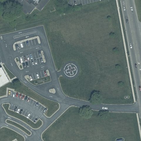
PARMA, OH
41.382308333, -81.731947222
A distinct square prepared pad sits near center amid the parking lot.
✓ Confirmed by AI vision with Claude Opus 4.8
 Confirmed
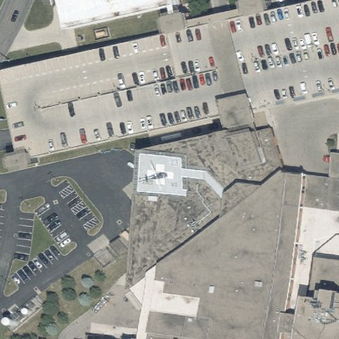
HILLSBORO, OH
39.221908333, -83.609727778
A circular pad marker sits near image center on the lot.
✓ Confirmed by AI vision with Claude Opus 4.8
 Confirmed
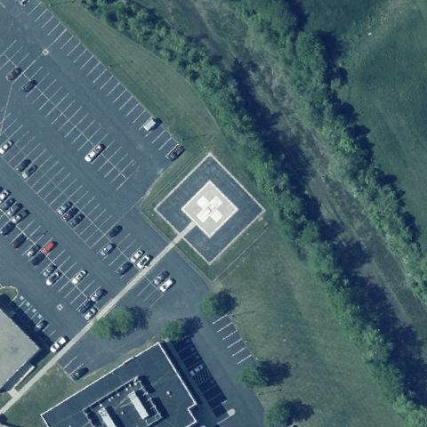
LANCASTER, OH
39.718166667, -82.577805556
White square pad with marking near center beside parking lot.
✓ Confirmed by AI vision with Claude Opus 4.8
 Confirmed
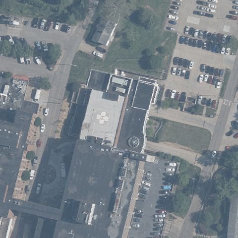
LONDON, OH
39.8932583330001, -83.452480556
White square helipad with H marking near image center.
✓ Confirmed by AI vision with Claude Opus 4.8
 Confirmed
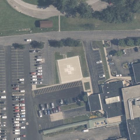
MARIETTA, OH
39.432097222, -81.464122222
A faint white H pad marking is visible near image center.
✓ Confirmed by AI vision with Claude Opus 4.8
 Confirmed
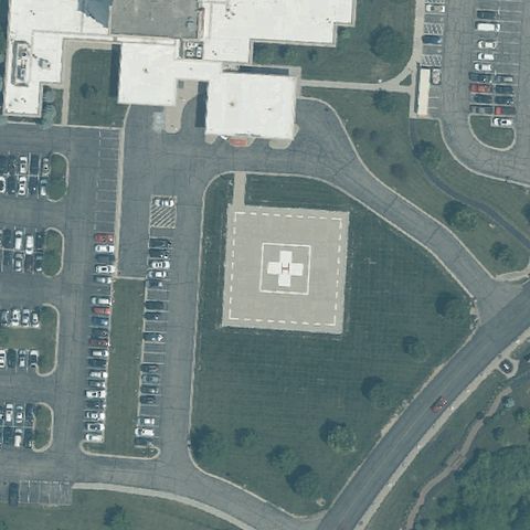
MARION, OH
40.571852, -83.130051
Large square pad with white cross/H near image center.
✓ Confirmed by AI vision with Claude Opus 4.8
 Confirmed
MIDDLETOWN, OH
39.4974722220001, -84.3139166669999
White square pad with cross/H marking near image center.
✓ Confirmed by AI vision with Claude Opus 4.8
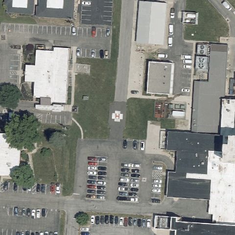 Confirmed
NEWARK, OH
40.0483, -82.451938889
A faint H pad marking is visible near center on the grass.
✓ Confirmed by AI vision with Claude Opus 4.8
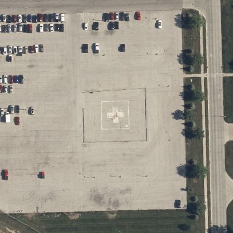 Confirmed
OREGON, OH
41.6324472220001, -83.4829055559999
Square pad with white cross marking near center in the parking lot.
✓ Confirmed by AI vision with Claude Opus 4.8
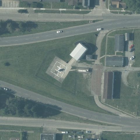 Confirmed
PORTSMOUTH, OH
38.7395333330001, -82.9878666669999
A small prepared square pad with a structure sits at center on open ground.
✓ Confirmed by AI vision with Claude Opus 4.8
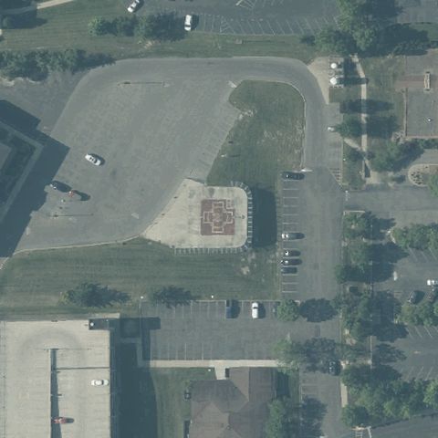 Confirmed
PORTSMOUTH, OH
38.7545250000001, -82.979494444
A marked pad with weight numbering sits roughly at center within the lot.
✓ Confirmed by AI vision with Claude Opus 4.8
 Confirmed
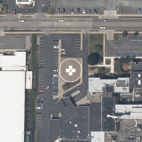
SALEM, OH
40.900544444, -80.8334055559999
A clear circular pad with white H/cross marking sits at center by the hospital.
✓ Confirmed by AI vision with Claude Opus 4.8
 Confirmed
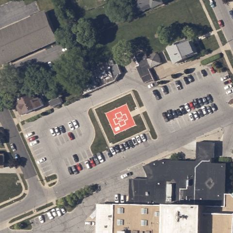
SANDUSKY, OH
41.446912222, -82.71117
A red square pad with white H marking sits centered in the courtyard.
✓ Confirmed by AI vision with Claude Opus 4.8
 Confirmed
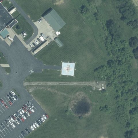
SEAMAN, OH
38.933869444, -83.5833916669999
A light square pad with faint H marking sits at center near the facility drive.
✓ Confirmed by AI vision with Claude Opus 4.8
 Confirmed
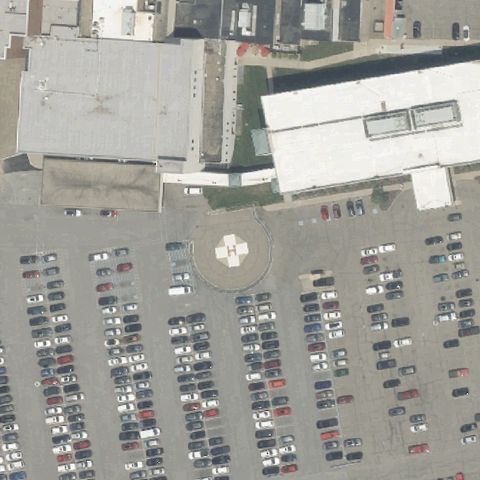
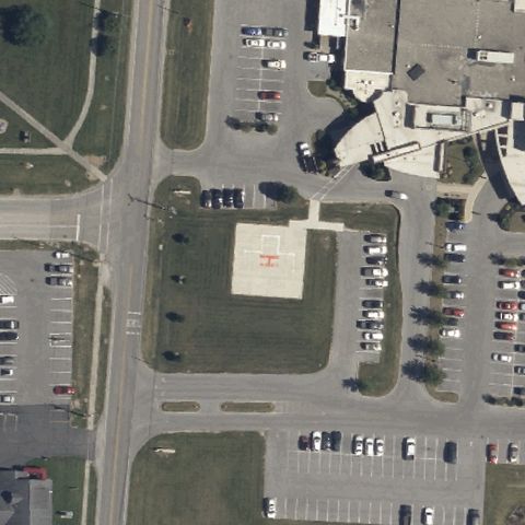
STEUBENVILLE, OH
40.3666805560001, -80.658622222
A circular pad with white cross/H marking sits centered amid parking.
✓ Confirmed by AI vision with Claude Opus 4.8
 Confirmed
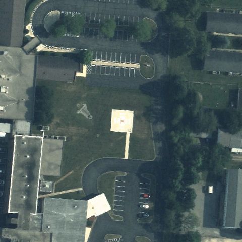
UPPER SANDUSKY, OH
40.8398111110001, -83.280538889
A square pad with red H marking sits centered in the hospital grounds.
✓ Confirmed by AI vision with Claude Opus 4.8
 Confirmed
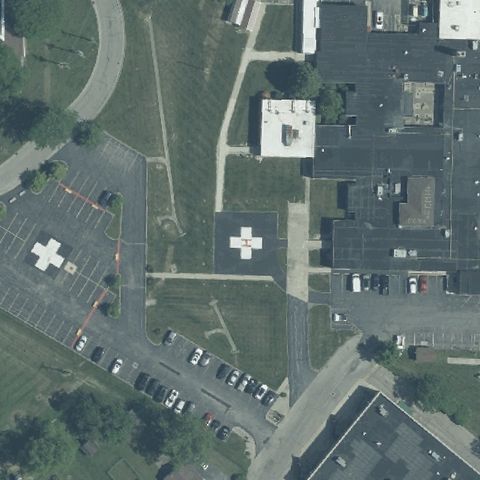
URBANA, OH
40.108352778, -83.729144444
A light square prepared pad sits roughly at center on open lawn.
✓ Confirmed by AI vision with Claude Opus 4.8
 Confirmed
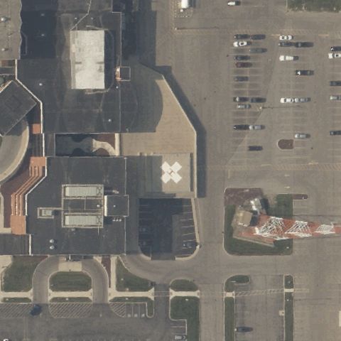
WASHINGTON COURT HOUSE, OH
39.547755556, -83.4279583329999
A white cross/H marked pad sits at center; a second H pad is left of frame.
✓ Confirmed by AI vision with Claude Opus 4.8
 Confirmed
WAUSEON, OH
41.5379583330001, -84.132033333
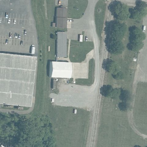
A square pad with white H sits at center of the medical campus.
✓ Confirmed by AI vision with Claude Opus 4.8
 Confirmed
WELLSTON, OH
39.1211111110001, -82.536388889
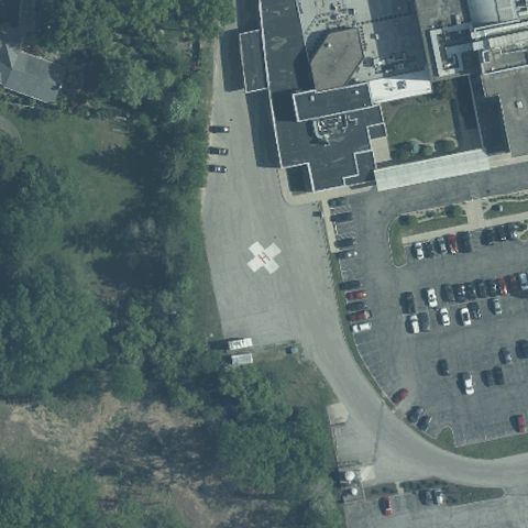
A prepared light pad near a building sits roughly at center with faint markings.
✓ Confirmed by AI vision with Claude Opus 4.8
 Confirmed
WILMINGTON, OH
39.443186111, -83.840580556
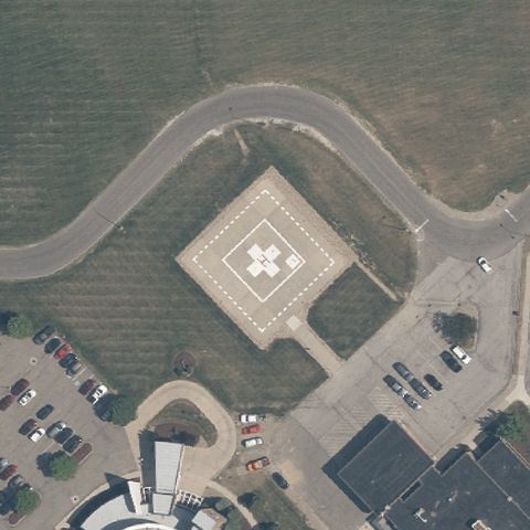
A white H/cross marked pad sits at center on grass beside the hospital lot.
✓ Confirmed by AI vision with Claude Opus 4.8
 Confirmed
RAVENNA, OH
41.1773916670001, -81.2500777779999
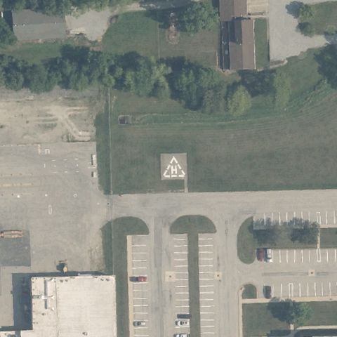
A diamond-set pad with white H/cross marking sits centered in the drive.
✓ Confirmed by AI vision with Claude Opus 4.8
 Confirmed
SIDNEY, OH
40.298813889, -84.163597222
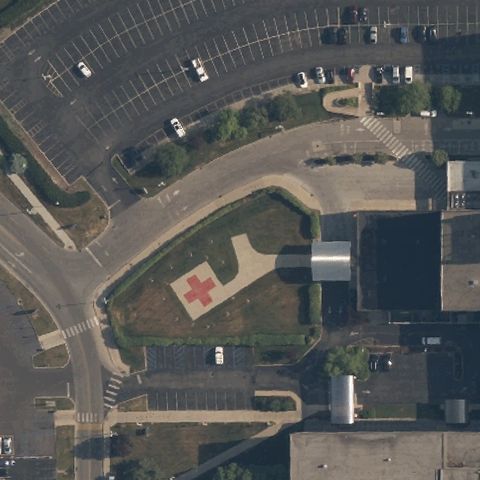
A square pad with white H marking sits centered in the ODOT yard.
✓ Confirmed by AI vision with Claude Opus 4.8
 Confirmed
TOLEDO, OH
41.620086111, -83.617955556
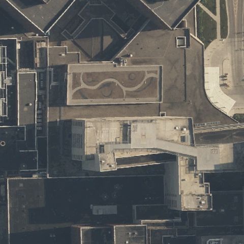
A square pad with red H/cross marking sits at center of the medical lot.
✓ Confirmed by AI vision with Claude Opus 4.8
 Confirmed
TOLEDO, OH
41.673377778, -83.595055556
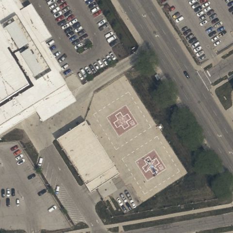
A marked rooftop pad sits at center atop the hospital building.
✓ Confirmed by AI vision with Claude Opus 4.8
 Confirmed
TOLEDO, OH
41.667305556, -83.5413444439999
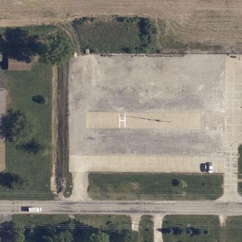
A rooftop pad with red H markings sits at center atop the hospital structure.
✓ Confirmed by AI vision with Claude Opus 4.8
 Confirmed
VERMILION, OH
41.4014527780001, -82.3665999999999
A large painted H on a turf field sits at center of the township site.
✓ Confirmed by AI vision with Claude Opus 4.8
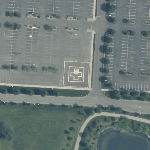 Confirmed
WESTERVILLE, OH
40.113686111, -82.943802778
A square pad with white cross/H marking sits at center in the parking lot.
✓ Confirmed by AI vision with Claude Opus 4.8
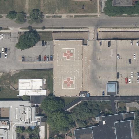 Confirmed
YOUNGSTOWN, OH
41.1145805560001, -80.6590555559999
Red square pads with white crosses/H sit at center near the medical center.
✓ Confirmed by AI vision with Claude Opus 4.8
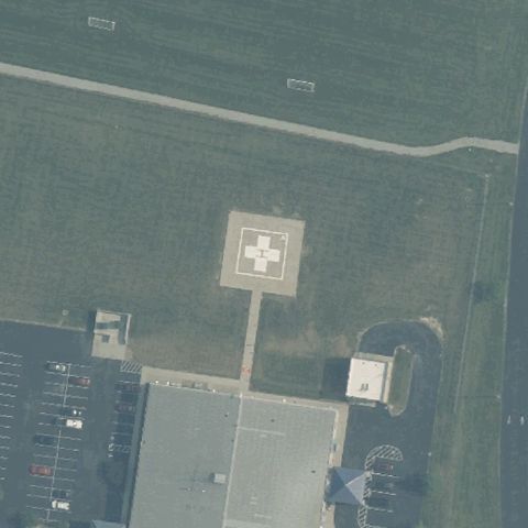 Confirmed
JAMESTOWN, OH
39.655569444, -83.750777778
A square pad with white H/cross marking sits at center on open ground.
✓ Confirmed by AI vision with Claude Opus 4.8
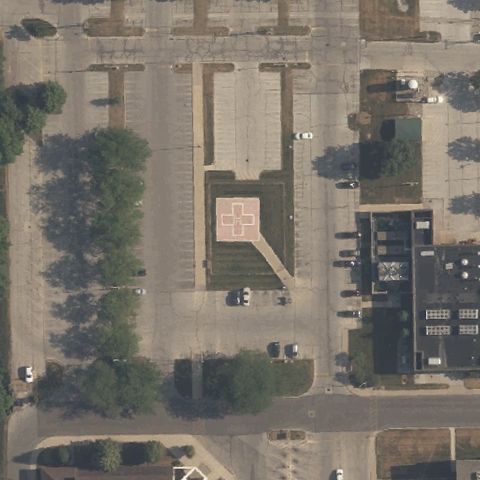 Confirmed
BOWLING GREEN, OH
41.3765611110001, -83.666708333
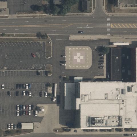
A marked square pad sits at center within the hospital parking area.
✓ Confirmed by AI vision with Claude Opus 4.8
 Confirmed
BRYAN, OH
41.4742416670001, -84.5579861109999
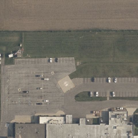
A square pad with white H/cross marking sits at center by the hospital.
✓ Confirmed by AI vision with Claude Opus 4.8
 Confirmed
NAPOLEON, OH
41.4119777780001, -84.087580556
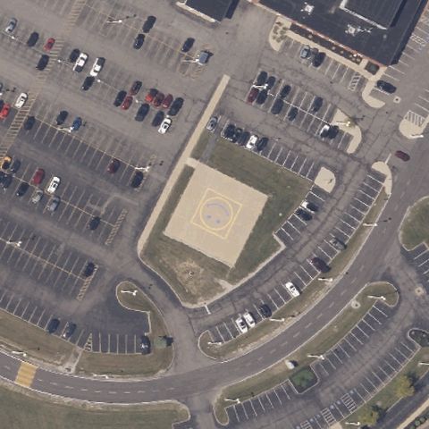
A tan pad with faint H marking sits at center in the parking lot.
✓ Confirmed by AI vision with Claude Opus 4.8
 Confirmed
NORWALK, OH
41.223684861, -82.603417472
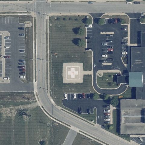
A circular marked pad sits at center within the parking area.
✓ Confirmed by AI vision with Claude Opus 4.8
 Confirmed
ST. MARYS, OH
40.544662944, -84.372384167
A square pad with white H/cross marking sits at center on the campus lawn.
✓ Confirmed by AI vision with Claude Opus 4.8
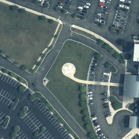 Confirmed
SPRINGFIELD, OH
39.928752333, -83.817517278
Circular concrete pad with red H/cross marking sits at image center on hospital grounds.
✓ Confirmed by AI vision with Claude Opus 4.8
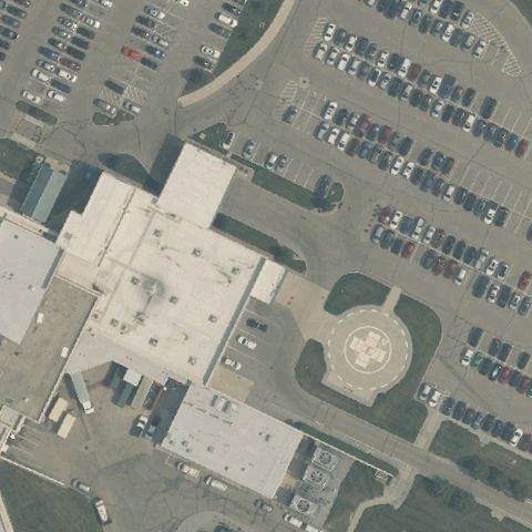 Confirmed
TROY, OH
40.085817917, -84.2288735559999
A circular prepared pad sits at center in the courtyard amid parking.
✓ Confirmed by AI vision with Claude Opus 4.8
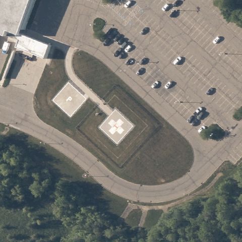 Confirmed
TWINSBURG, OH
41.301247, -81.436882
A square pad with white H/cross marking sits at center on the lawn island.
✓ Confirmed by AI vision with Claude Opus 4.8
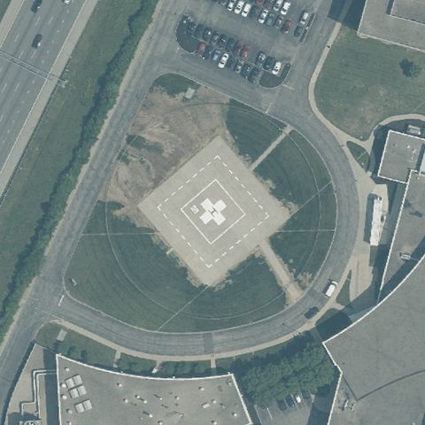 Confirmed
WEST CHESTER, OH
39.3582931110001, -84.369061389
A diamond-set pad with white H/cross marking sits centered in the lawn oval.
✓ Confirmed by AI vision with Claude Opus 4.8
 Confirmed
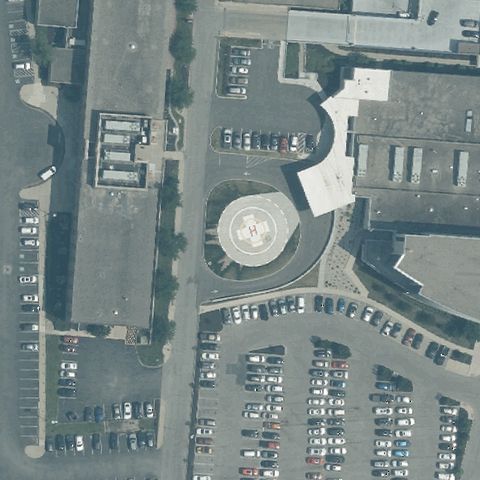
CINCINNATI, OH
39.0855, -84.350197222
A round prepared pad sits at center within the hospital entry circle.
✓ Confirmed by AI vision with Claude Opus 4.8
 Confirmed
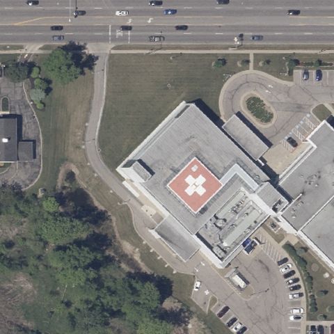
BRUNSWICK, OH
41.237758333, -81.815497222
A red rooftop pad with white H/cross marking sits at center of the building.
✓ Confirmed by AI vision with Claude Opus 4.8
 Confirmed
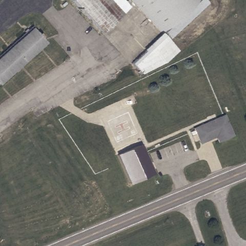
GALION, OH
40.750947222, -82.723905556
A prepared square pad sits roughly at center within the fenced yard.
✓ Confirmed by AI vision with Claude Opus 4.8
 Confirmed
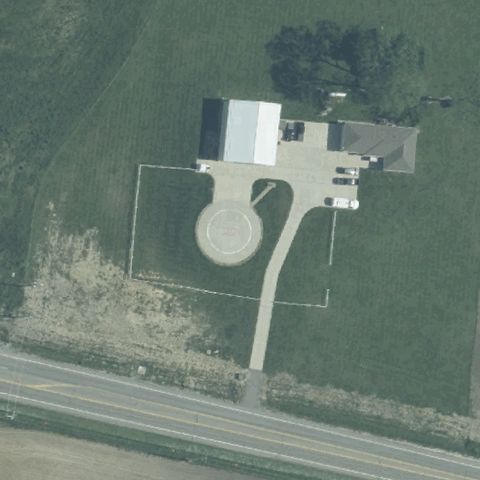
JEFFERSONVILLE, OH
39.610441667, -83.584972222
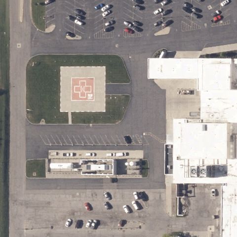
A round prepared pad sits at center beside the emergency center building.
✓ Confirmed by AI vision with Claude Opus 4.8
 Confirmed
ONTARIO, OH
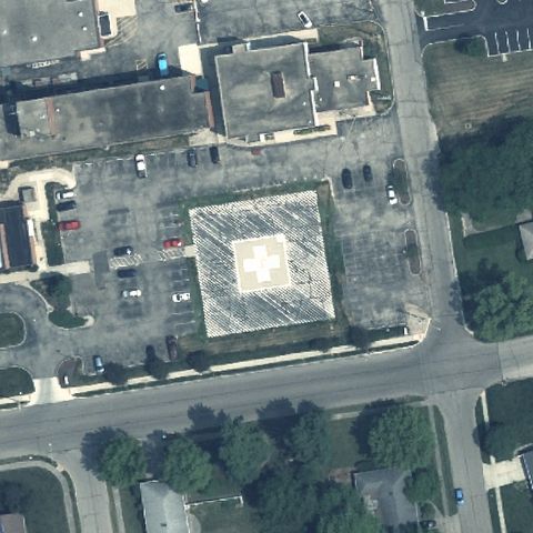
40.771416667, -82.5949166669999
A square pad with red H/cross marking sits at center of the medical lot.
✓ Confirmed by AI vision with Claude Opus 4.8
 Confirmed
XENIA, OH
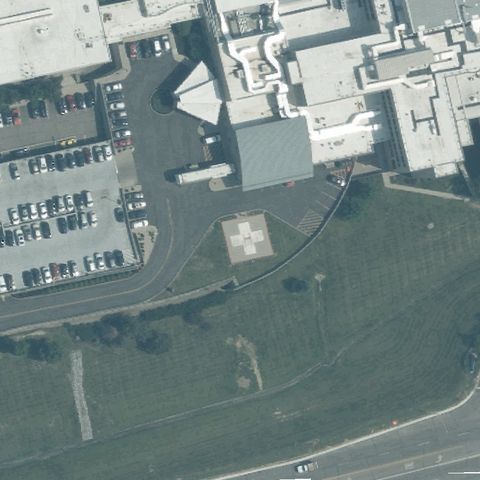
39.699601, -83.9267444719999
A marked square pad sits at center within the hospital parking area.
✓ Confirmed by AI vision with Claude Opus 4.8
 Confirmed
FAIRFIELD, OH
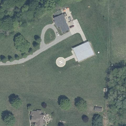
39.3117765280001, -84.518149667
A square prepared pad sits near image center beside the hospital building.
✓ Confirmed by AI vision with Claude Opus 4.8
 Confirmed
ZOAR, OH
40.6060000000001, -81.414327778
A distinct circular prepared pad is visible just below center.
✓ Confirmed by AI vision with Claude Opus 4.8
 Confirmed
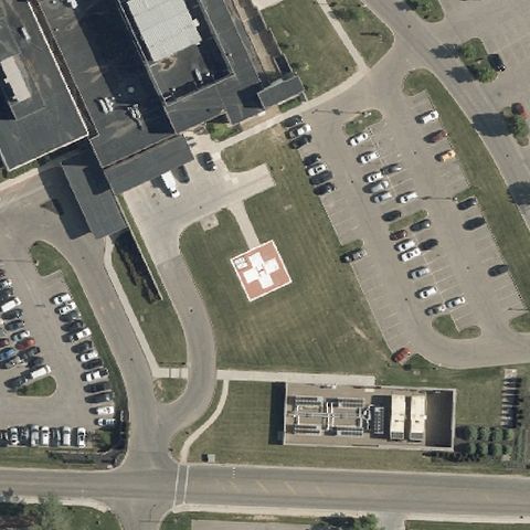
ZANESVILLE, OH
39.9738333330001, -82.0153333329999
Clear red-and-white H pad with marker centered in the lawn.
✓ Confirmed by AI vision with Claude Opus 4.8
 Confirmed
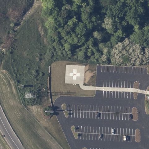
BROADWAY HEIGHTS, OH
41.3189722220001, -81.6476111109999
A red H pad sits at center between the tree line and parking lot.
✓ Confirmed by AI vision with Claude Opus 4.8
 Confirmed
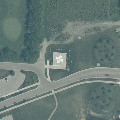
HAMILTON, OH
39.375444444, -84.3608055559999
A dark square pad with white H marking is centered on the grass.
✓ Confirmed by AI vision with Claude Opus 4.8
 Confirmed
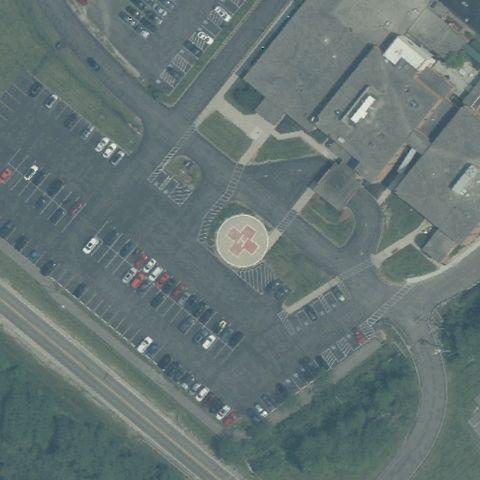
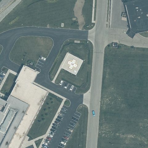
BATAVIA, OH
39.079158889, -84.145273194
A circular pad with marking is centered amid the parking area.
✓ Confirmed by AI vision with Claude Opus 4.8
 Confirmed
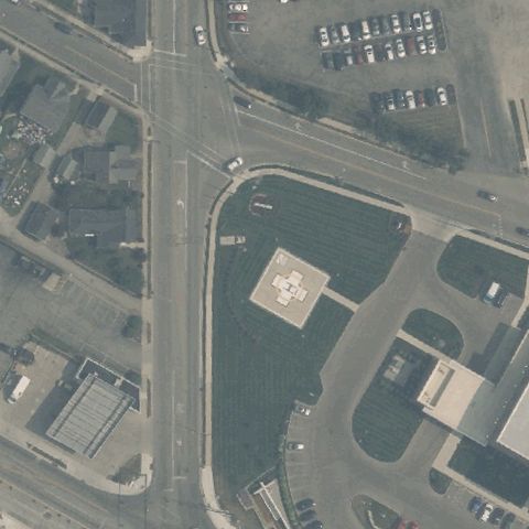
MIDDLETOWN, OH
39.4922222220001, -84.319166667
A square pad with H marking is visible at center near the building.
✓ Confirmed by AI vision with Claude Opus 4.8
 Confirmed
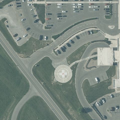
TROY, OH
40.043816667, -84.2109944439999
A red square pad with H marking sits near image center.
✓ Confirmed by AI vision with Claude Opus 4.8
 Confirmed
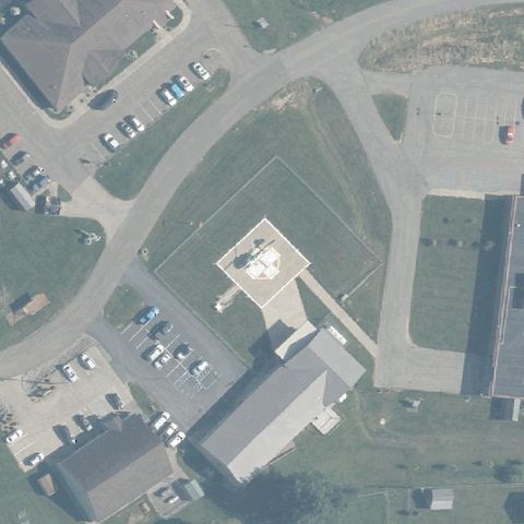
CHILLICOTHE, OH
39.3956305560001, -82.970288889
A large circular pad with cross/H marking is centered by the hospital.
✓ Confirmed by AI vision with Claude Opus 4.8
 Confirmed
POMEROY, OH
39.0558472220001, -82.0138916669999
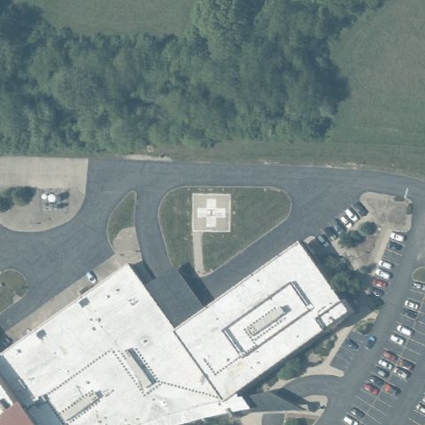
A square rooftop/ground pad with marking is centered on the facility.
✓ Confirmed by AI vision with Claude Opus 4.8
 Confirmed
JACKSON, OH
39.0330138890001, -82.640113889
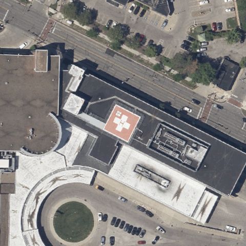
A faint square pad with marking is centered on the prepared apron.
✓ Confirmed by AI vision with Claude Opus 4.8
 Confirmed
CLEVELAND, OH
41.4504555560001, -81.822697222
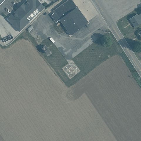
A red rooftop pad with white H is centered atop the hospital building.
✓ Confirmed by AI vision with Claude Opus 4.8
 Confirmed
HAMILTON, OH
39.310933333, -84.650186111
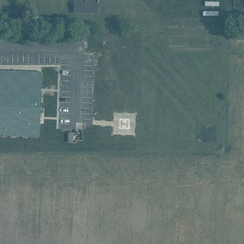
A small square prepared pad is visible near center in the field.
✓ Confirmed by AI vision with Claude Opus 4.8
 Confirmed
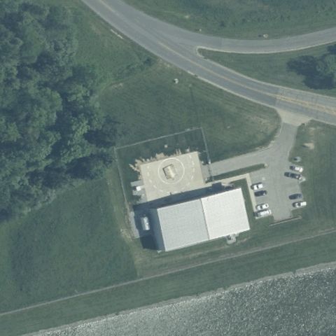
HAMILTON, OH
39.3833527780001, -84.654286111
A square pad with H marking sits near center adjacent to the lot.
✓ Confirmed by AI vision with Claude Opus 4.8
 Confirmed
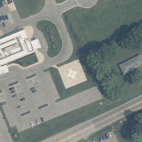
MOUNT ORAB, OH
39.0373083330001, -83.9238972219999
A square pad with marking is centered atop the facility structure.
✓ Confirmed by AI vision with Claude Opus 4.8
 Confirmed
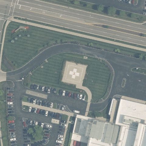
FAIRBORN, OH
39.8470833330001, -83.989841667
A red square pad with white H is centered in the parking area.
✓ Confirmed by AI vision with Claude Opus 4.8
 Confirmed
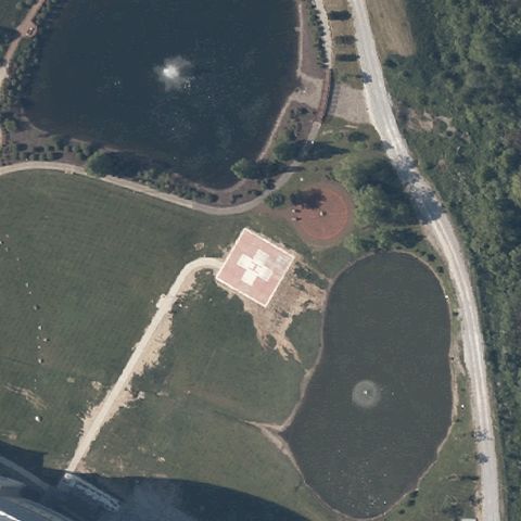
BEAVERCREEK, OH
39.7717500000001, -84.0638333329999
A red square pad with white H sits at center surrounded by drive loop.
✓ Confirmed by AI vision with Claude Opus 4.8
 Confirmed
BEACHWOOD, OH
41.4531416670001, -81.493766667
A red square pad with white H is centered in the landscaped grounds.
✓ Confirmed by AI vision with Claude Opus 4.8
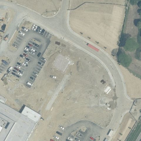 Confirmed
KINGS MILLS, OH
39.356261111, -84.25585
A faint square prepared pad is centered on the grass, marking unclear.
✓ Confirmed by AI vision with Claude Opus 4.8
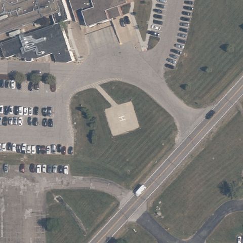 Confirmed
CHARDON, OH
41.507758333, -81.188955
A red square pad with white H sits at center near the parking lots.
✓ Confirmed by AI vision with Claude Opus 4.8
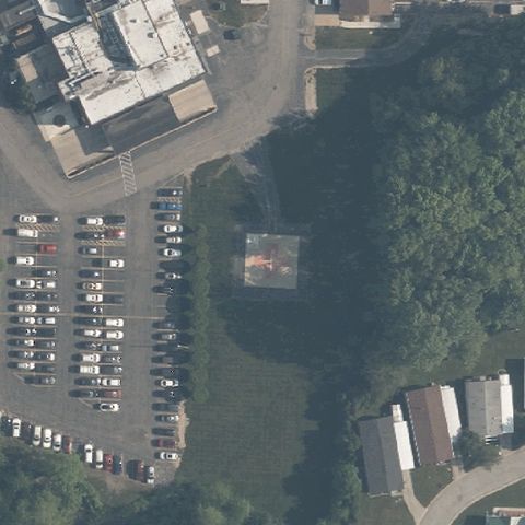 Confirmed
GENEVA, OH
41.7986047220001, -80.961427917
A faint square pad is centered on the grass between lot and trees.
✓ Confirmed by AI vision with Claude Opus 4.8
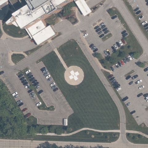 Confirmed
PAINESVILLE, OH
41.661735278, -81.24661625
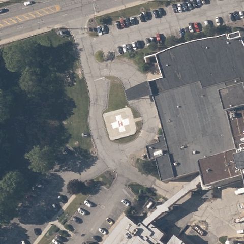
A circular pad with white H marking is centered amid the parking loops.
✓ Confirmed by AI vision with Claude Opus 4.8
 Confirmed
WILLOUGHBY, OH
41.625580417, -81.4336681939999
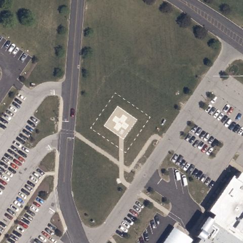
A red square pad with white H sits near center beside the building.
✓ Confirmed by AI vision with Claude Opus 4.8
 Confirmed
WESTLAKE, OH
41.436409306, -81.9453662499999
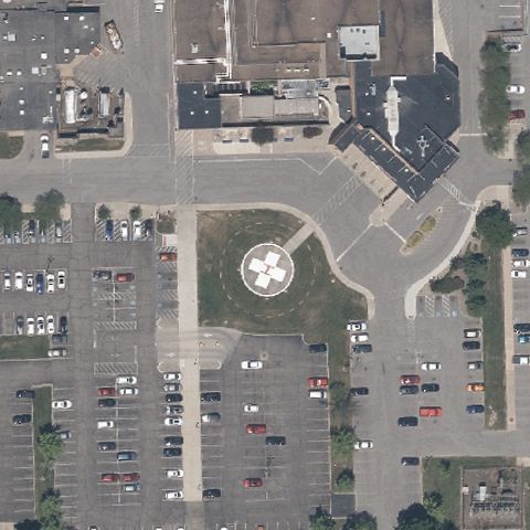
A square prepared pad with dashed border is centered in the open area.
✓ Confirmed by AI vision with Claude Opus 4.8
 Confirmed
WARREN, OH
41.2349944440001, -80.799088889
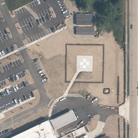
A circular pad with white star/H marking is centered in the lot.
✓ Confirmed by AI vision with Claude Opus 4.8
 Confirmed
MENTOR, OH
41.650622222, -81.341166667
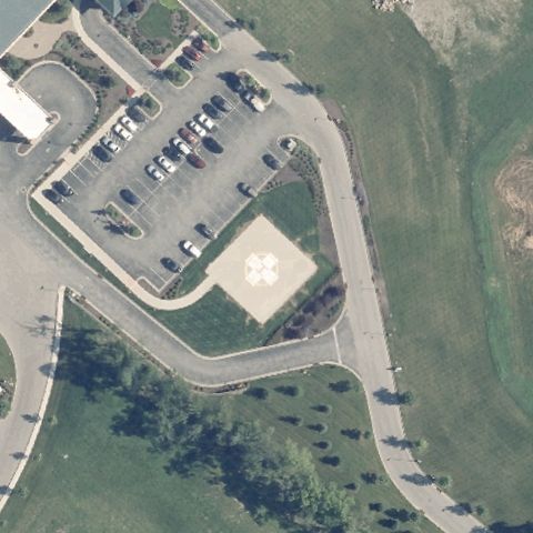
A square marked pad sits at center within a dashed safety perimeter.
✓ Confirmed by AI vision with Claude Opus 4.8
 Confirmed
ENGLEWOOD, OH
39.8541230000001, -84.270606
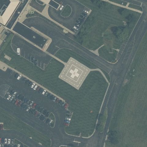
A faint square prepared pad is centered in the open landscaped area.
✓ Confirmed by AI vision with Claude Opus 4.8
 Confirmed
DAYTON, OH
39.6515820000001, -84.1131599999999
A red square pad with white H sits at center beside the building.
✓ Confirmed by AI vision with Claude Opus 4.8
 Confirmed
BARBERTON, OH
41.0146520000001, -81.5882329999999
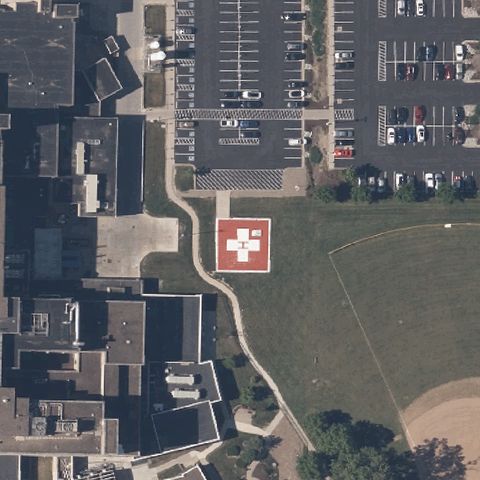
A clear red square pad with white H is centered between buildings.
✓ Confirmed by AI vision with Claude Opus 4.8