 Not visible
NK32 Ny Arng
ALBANY, NY
42.6667452780001, -73.832900278
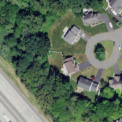
Center is residential housing and lawn with a circular drive, no pad.
85% confidence
Verify on the map →
Is there really a pad here?
Data: FAA Airports (ArcGIS open layer) | Imagery: USGS NAIP (public domain) | AI vision: Claude Opus 4.8 | built 2026-07-05
A flag means a pad could not be confirmed from current imagery - never that a heliport is missing, fake, or mislocated. Help us check: vote on each one below.
Not visibleALBANY, NY
42.6667452780001, -73.832900278
Center is residential housing and lawn with a circular drive, no pad.
 Not visible
ASTORIA, NY
40.7862122220001, -73.912081111
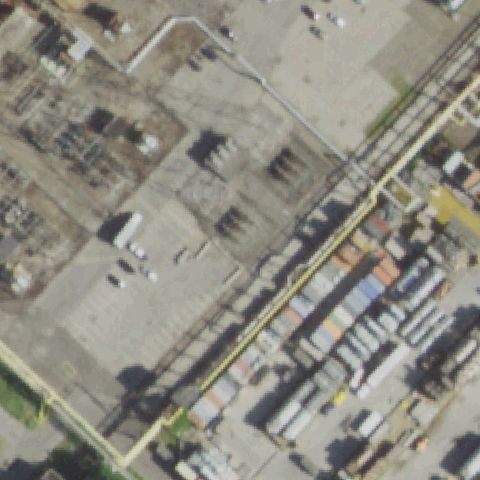
Center is an industrial container/storage yard with no pad.
 Not visible
BROOKLYN, NY
40.6052916670001, -74.022261111
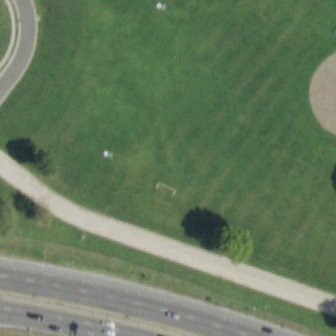
Center is an open grassy parade field, no pad.
 Not visible
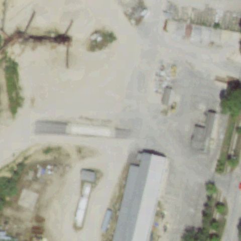
DURHAMVILLE, NY
43.132130556, -75.655225
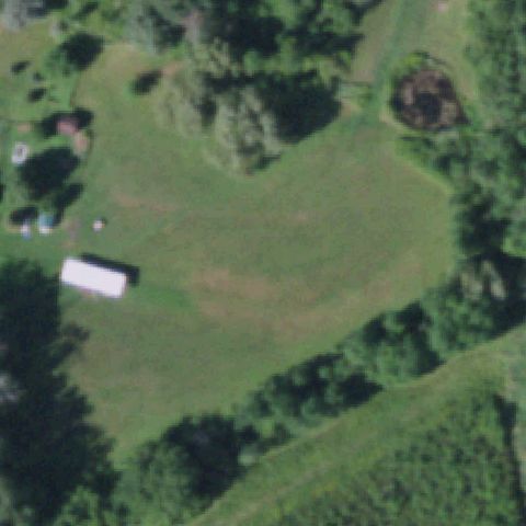
Center is an open mowed field by a house, no pad.
 Not visible
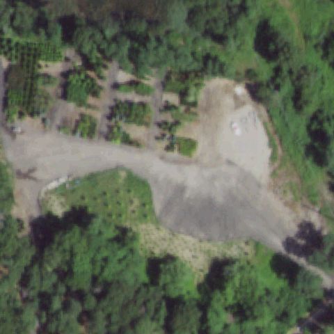
EAST HAMPTON, NY
40.9876, -72.173411667
Center is an industrial gravel yard with structures, no pad.
 Not visible
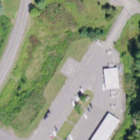
EAST MORICHES, NY
40.8262222220001, -72.7453944439999
Center is a dirt/gravel clearing among trees, no markings.
 Not visible
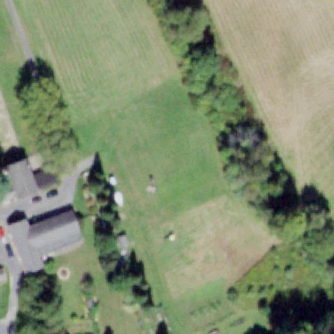
GILBOA/GRAND GORGE, NY
42.4246833330001, -74.450922222
Center is gravel/paved ground among buildings, no pad markings.
 Not visible
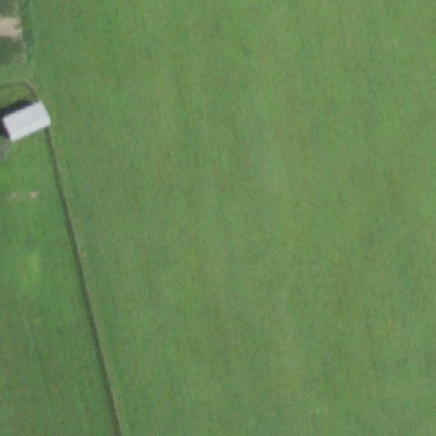
ALLIGERVILLE, NY
41.803325, -74.181977778
Center is open farm field, no pad.
 Not visible
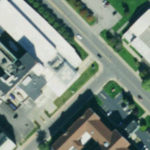
AMENIA, NY
41.8501416670001, -73.599111111
Center is a uniform grass pasture, no pad.
 Not visible
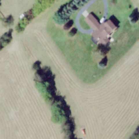
BUFFALO, NY
42.847211111, -78.8115083329999
Center is a street intersection, no pad.
 Not visible
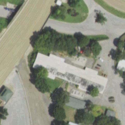
CHESTER, NY
41.3496666670001, -74.3331666669999
Center is a farm field/lawn by a house, no pad.
 Not visible
ELMONT, NY
40.714546667, -73.7104086109999
Center is trees and racetrack outbuildings, no pad.
 Not visible
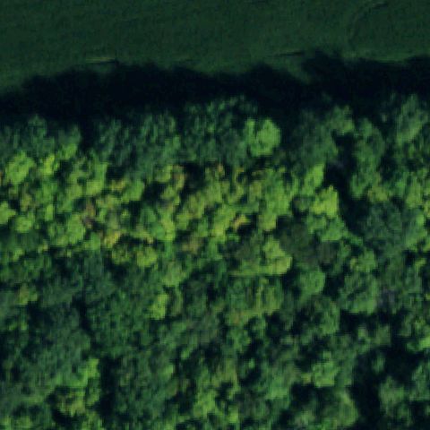
HAMBURG, NY
42.528394167, -78.9072555559999
Center is dense forest at a water edge, no pad.
 Not visible
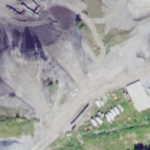
MIDDLETOWN, NY
41.432333333, -74.365166667
Center is a quarry/dirt site with no pad.
 Not visible
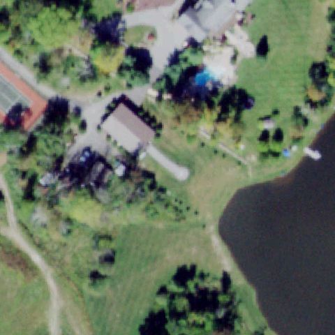
MIDDLETOWN, NY
41.421911111, -74.5709666669999
Center is lakeside residential lawn and trees, no pad.
 Not visible
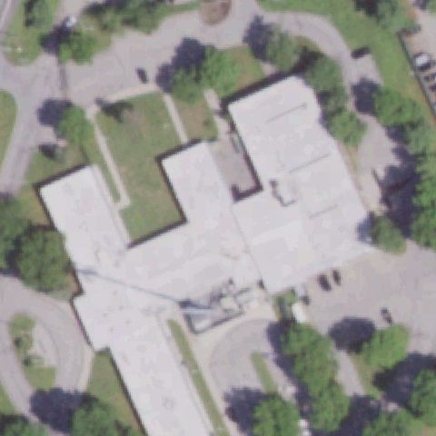
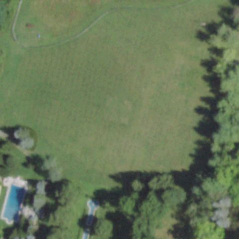
MILLBROOK, NY
41.783426944, -73.7542963889999
Hospital complex with light roofs but no helipad marking visible at center.
 Not visible
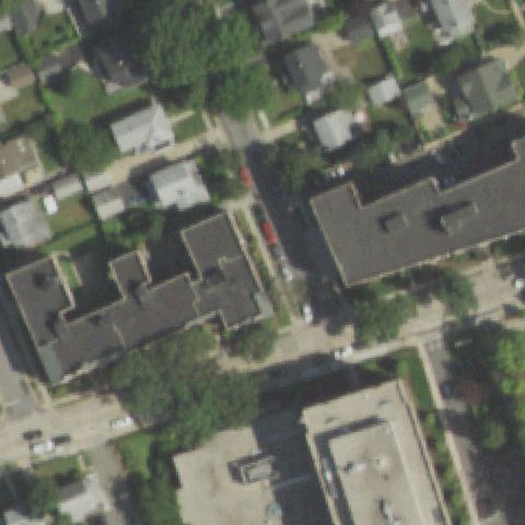
MILLBROOK, NY
41.8312361110001, -73.6593194439999
Open mowed grass field with no pad or markings at center.
 Not visible
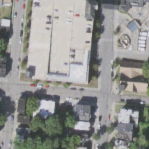
MINEOLA, NY
40.7417677780001, -73.644017778
Residential and hospital buildings with no visible pad at center.
 Not visible
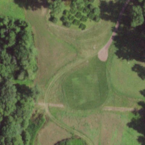
NEWBURGH, NY
41.5027055560001, -74.015566667
Commercial building and parking lot with no pad marking at center.
 Not visible
PAWLING, NY
41.5975, -73.5314999999999
Forest clearing and field with no pad or markings at center.
 Not visible
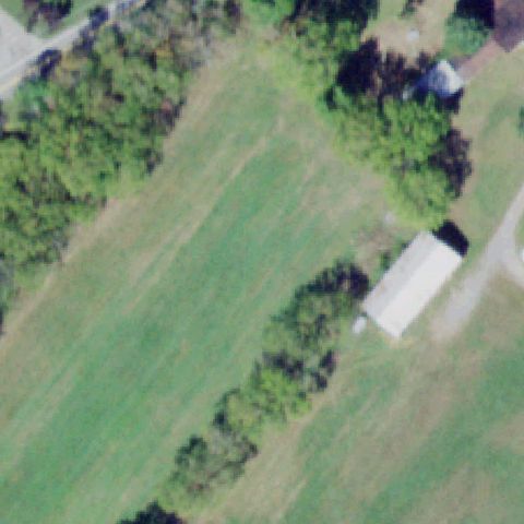
PINE ISLAND, NY
41.3209277780001, -74.504325556
Open grass field with trees and a shed, no pad at center.
 Not visible
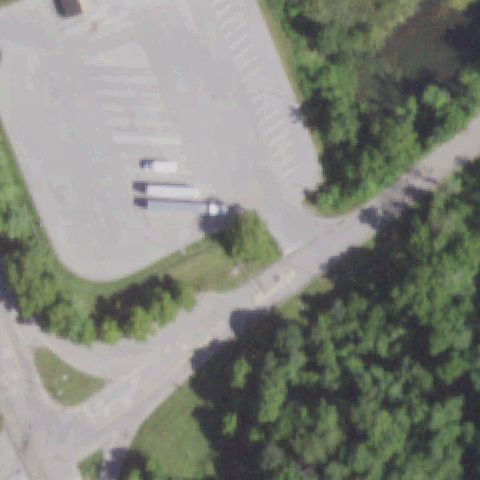
HOPEWELL JUNCTION, NY
41.5434266670001, -73.8190225
Paved parking lot and trees with no helipad marking at center.
 Not visible
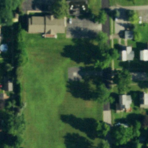
MEDINA, NY
43.222144444, -78.3973833329999
Residential grass lot with trees and no pad at center.
 Not visible
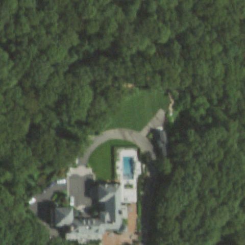
MELVILLE, NY
40.7977777780001, -73.417833333
Wooded estate with house and pool, no helipad at center.
 Not visible
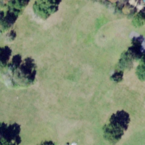
MIDDLETOWN, NY
41.3751888890001, -74.514491667
Open grassy field surrounded by trees with no pad at center.
 Not visible
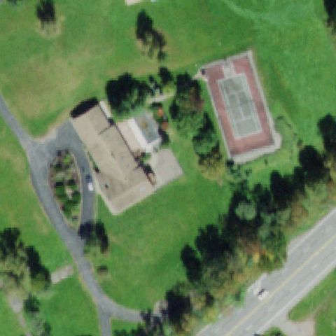
MONTICELLO, NY
41.66855, -74.757730556
Residence with a tennis court but no helipad marking at center.
 Not visible
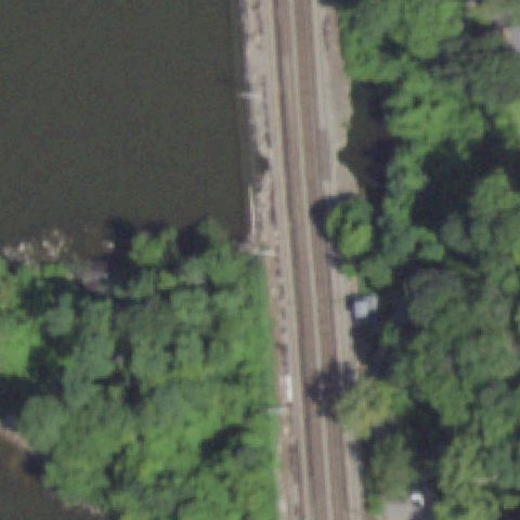
OSSINING, NY
41.145095278, -73.868468889
River, rail line and woods with no pad at center.
 Not visible
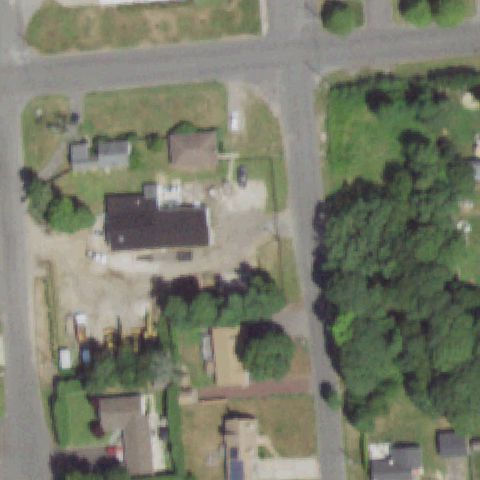
PATCHOGUE, NY
40.7732777780001, -72.960527778
Suburban residential lots with no helipad at center.
 Not visible
PAWLING, NY
41.526483333, -73.580027778
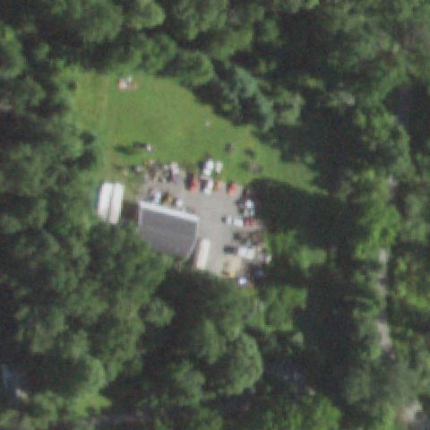
Building and gravel yard in a forest clearing with no pad at center.
 Not visible
SOMERS, NY
41.317038611, -73.679852222
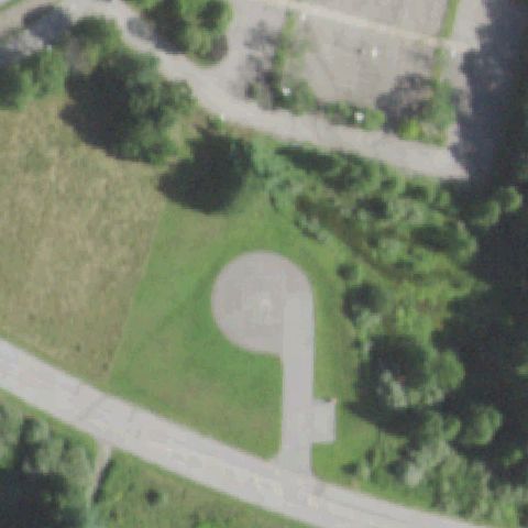
Paved cul-de-sac turnaround on lawn with no helipad marking at center.
 Not visible
WALLKILL, NY
41.6214805560001, -74.242369444
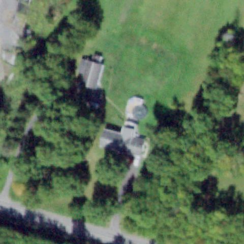
Building with a domed structure in trees, no helipad at center.
 Not visible
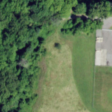
SAUGERTIES, NY
42.1566194440001, -73.999
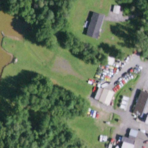
Center is open field and trees beside a yard; no landing pad visible.
 Not visible
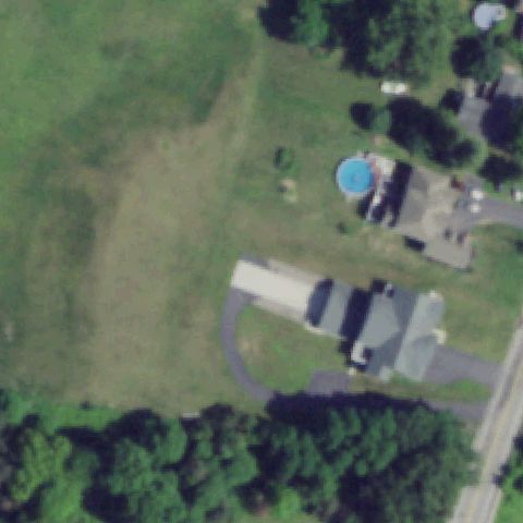
TROY, NY
42.6906344440001, -73.70373
Center is open grass clearing beside woods; no pad or markings present.
 Not visible
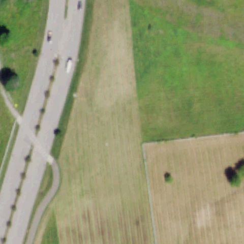
WEBSTER, NY
43.2147000000001, -77.522999833
Center is an open lawn near a residence; no landing pad visible.
 Not visible
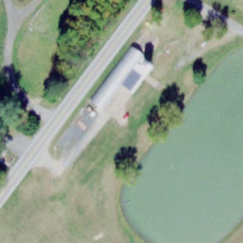
SARATOGA SPRINGS, NY
42.971944444, -73.805833333
Center is a downtown street and rooftops with no helipad markings.
 Not visible
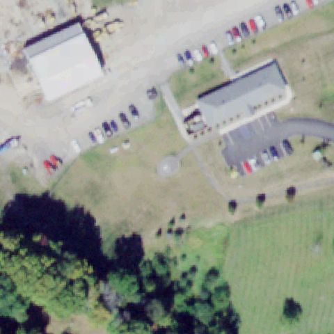
WARWICK, NY
41.3027138890001, -74.385097222
Wooded estate with water and lawn; no landing pad visible at center.
 Not visible
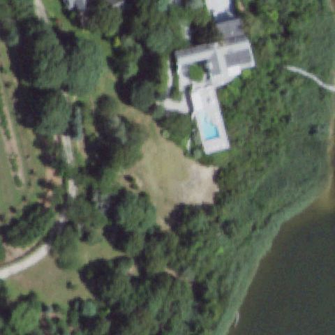
SLATE HILL, NY
41.3910805560001, -74.472366667
Center is grass and a building lot; no defined helipad or markings.
 Not visible
EASTPORT, NY
40.8167722220001, -72.730780556
Waterfront estate lawn and trees; no landing pad visible.
 Not visible
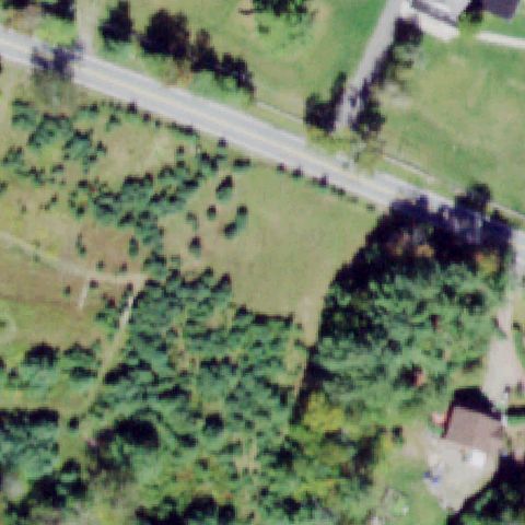
ELLENVILLE, NY
41.7629277780001, -74.454836111
Center is rural field and brush along a road; no pad visible.
 Not visible
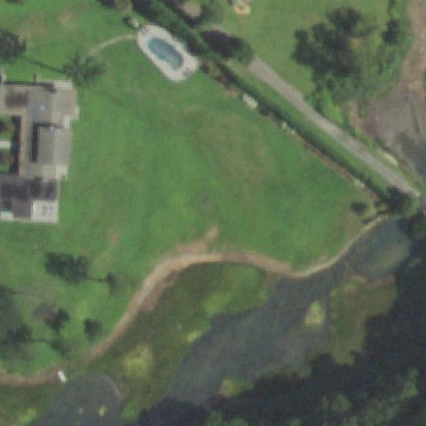
OYSTER BAY, NY
40.906891667, -73.5160888889999
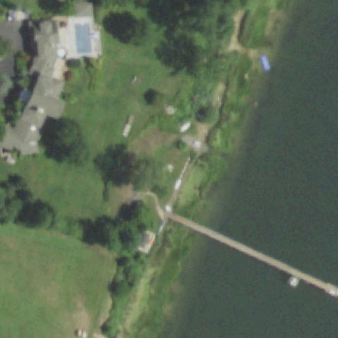
Estate lawn with pool and pond; no landing pad visible at center.
 Not visible
CENTRE ISLAND, NY
40.8983416670001, -73.518552778
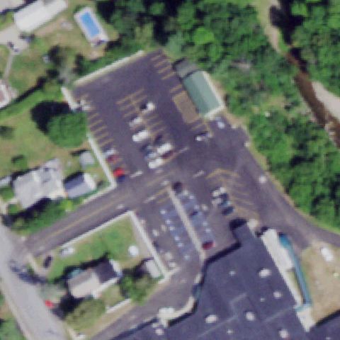
Waterfront estate lawn; only a small dock/pool feature, no helipad.
 Not visible
ELIZABETHTOWN, NY
44.2163833330001, -73.596352778
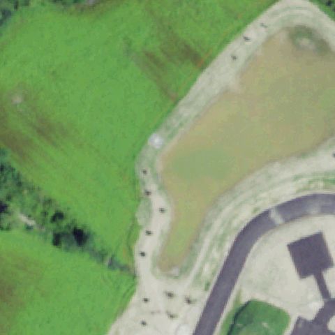
Center is parking lots and buildings; no helipad markings visible.
 Not visible
HORNELL, NY
42.3575000000001, -77.664444444
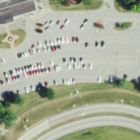
Center is a field beside a pond and parking; no pad or markings present.
 Not visible
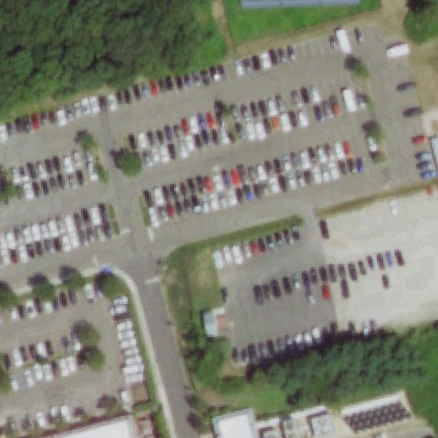
LEWISTON, NY
43.1535000000001, -79.0314
Center is a crowded parking lot with no helipad markings.
 Not visible
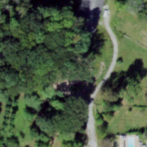
PORT JEFFERSON, NY
40.9405750000001, -73.053377778
Center is a parking lot full of vehicles; no helipad visible.
 Not visible
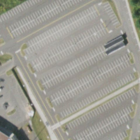
SUFFERN, NY
41.171911111, -74.086469444
Center is dense forest with a driveway; no pad visible.
 Not visible
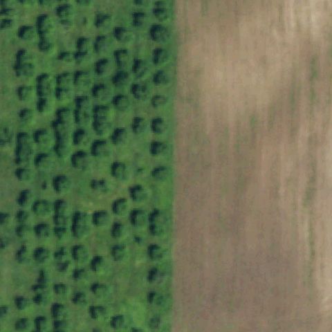
RAMAPO, NY
41.1708055560001, -74.037555556
Center is a large striped parking lot; no helipad markings present.
 Not visible
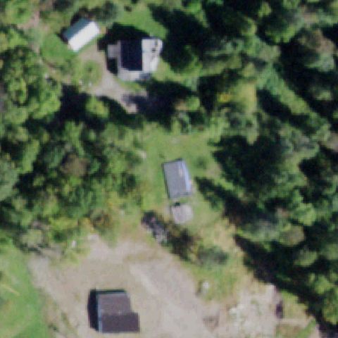
LOCKPORT, NY
43.148613889, -78.708077778
Center is an agricultural field boundary; no pad or markings visible.
 Not visible
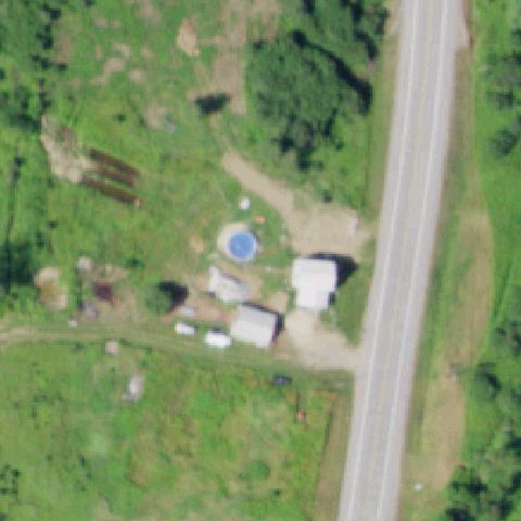
HANKINS, NY
41.8256640000001, -75.0992239999999
Rural property with sheds and trees at center; no landing pad visible.
 Not visible
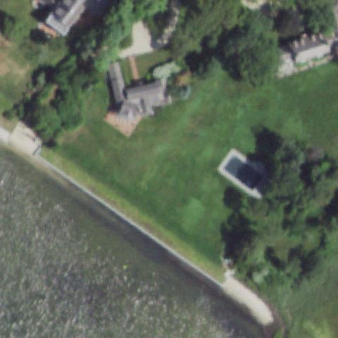
TOWN OF OHIO, NY
43.288075, -74.9816111109999
Center is a rural lot with parked trailers; no painted pad or markings visible.
 Not visible
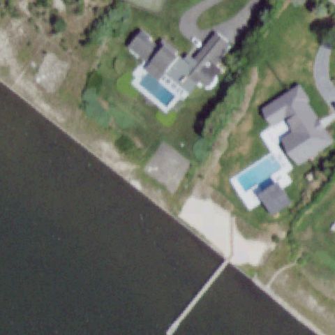
REMSENBURG, NY
40.807378833, -72.721507
Waterfront estate lawn; no landing pad visible at center.
 Not visible
WESTHAMPTON BEACH, NY
40.80091, -72.6578029999999
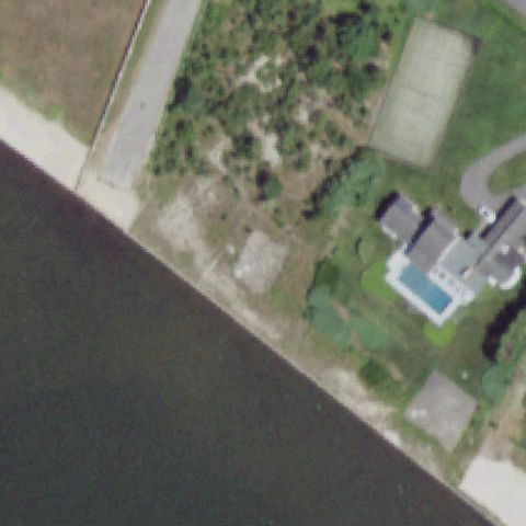
Waterfront estates with pools; no helipad visible at center.
 Not visible
WESTHAMPTON BEACH, NY
40.801254, -72.658351833
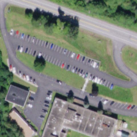
Waterfront property with brush and tennis court; no landing pad visible.
 Not visible
MARGARETVILLE, NY
42.1470555560001, -74.6419999999999
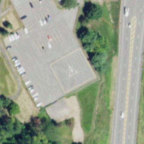
Center is a parking lot and lawn beside the hospital; no helipad markings visible.
 Off-center
ALBANY, NY
42.627466, -73.7773749999999
Faint dark H marking on a paved lot below center.
 Off-center
ALBANY, NY
42.653733333, -73.7756027779999
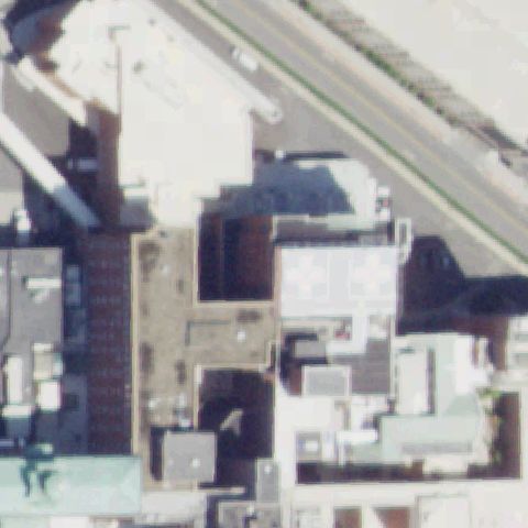
White circle/cross rooftop pad marking right of center.
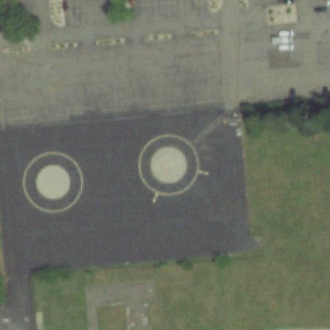 Off-center
BETHPAGE, NY
40.7596750000001, -73.496502778
Two circular marked pads on paved area, left of center.
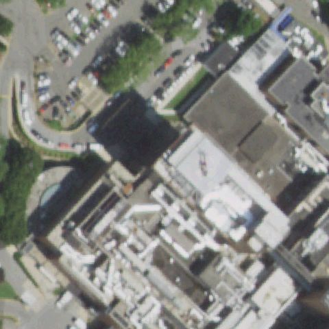 Off-center
MANHASSET, NY
40.778083333, -73.701888889
Faint rooftop pad marking on a hospital building right of center.
 Off-center
OWEGO, NY
42.0972963890001, -76.2246533329999
Helicopter parked on white H rooftop marking in upper part of image, off center.
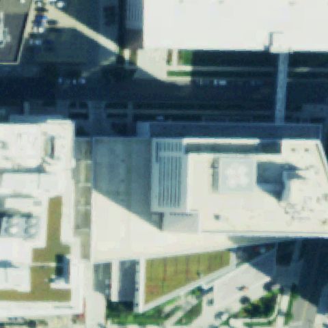 Off-center
BUFFALO, NY
42.9010250000001, -78.867877778
White circular rooftop touchdown pad visible on the hospital but offset to the right of center.
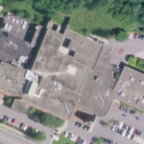 Uncertain
AMSTERDAM, NY
42.9545444440001, -74.216358333
Center is a generic flat building roof with no discernible pad marking.
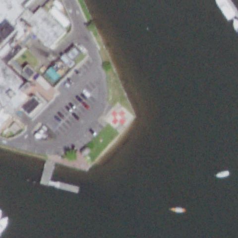 Uncertain
GREENPORT, NY
41.109955556, -72.360105556
Image center shows a paved waterfront plaza with a decorative pink cloverleaf paver pattern, not a standard H/circle/TLOF helipad marking.
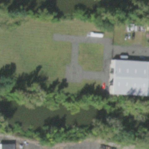 Uncertain
HAVERSTRAW, NY
41.2109722220001, -73.969763889
Center is a plain paved T-shaped lot by a building with no pad marking.
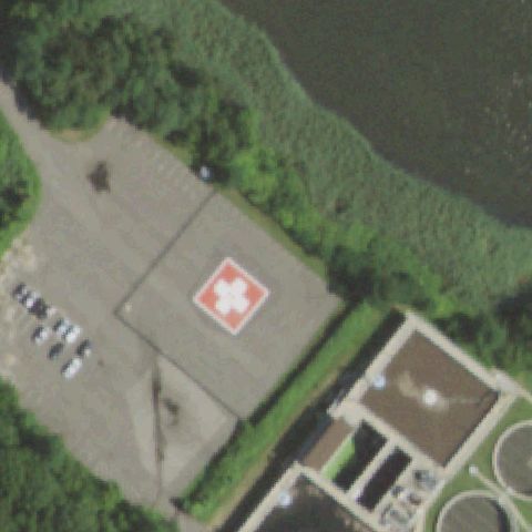 Uncertain
HUNTINGTON, NY
40.8839869440001, -73.4228977779999
Center is a paved area beside a building with no discernible pad marking.
 Uncertain
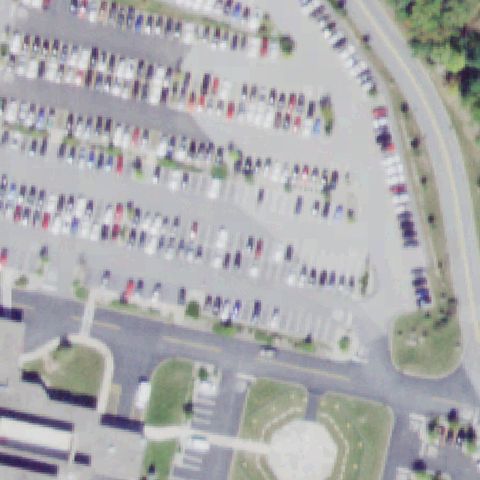
MIDDLETOWN, NY
41.442708333, -74.3668888889999
Center is a hospital parking lot; any pad/landscaping is at bottom edge, not center.
 Uncertain
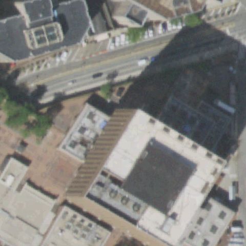
NEW YORK, NY
40.7125194440001, -74.0017194439999
Dense urban rooftops in shadow with no clear helipad marking at center.
 Uncertain
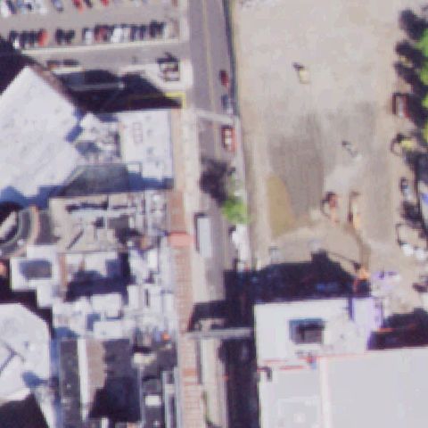
JOHNSON CITY, NY
42.1144846670001, -75.9580902499999
Dense urban buildings and lot with no clear pad marking at center.
 Uncertain
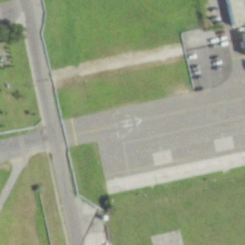
NEW YORK, NY
40.5903555560001, -73.881819444
Airfield taxiway/apron with directional arrow but no helipad marking at center.
 Uncertain
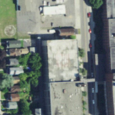
NIAGARA FALLS, NY
43.0939083330001, -79.050872222
Parking ramp rooftop with faint circle off-corner but no pad at center.
 Uncertain
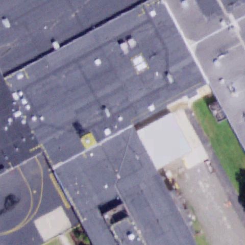
OWEGO, NY
42.1028519440001, -76.221319722
Industrial dark rooftops with one yellow circle but no pad at center.
 Uncertain
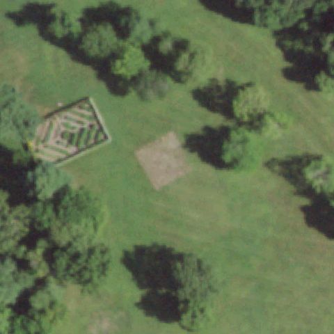
PAWLING, NY
41.5951916670001, -73.556408333
Faint bare square patch on lawn near center but no clear pad or marking.
 Uncertain
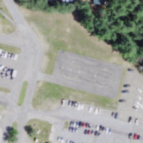
SARANAC LAKE, NY
44.3013111110001, -74.079819444
Worn open lot with faint ground patterns but no clear helipad at center.
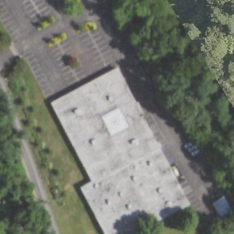 Uncertain
WHITE PLAINS, NY
41.081602778, -73.712963889
Building rooftop with a small square structure but no helipad marking at center.
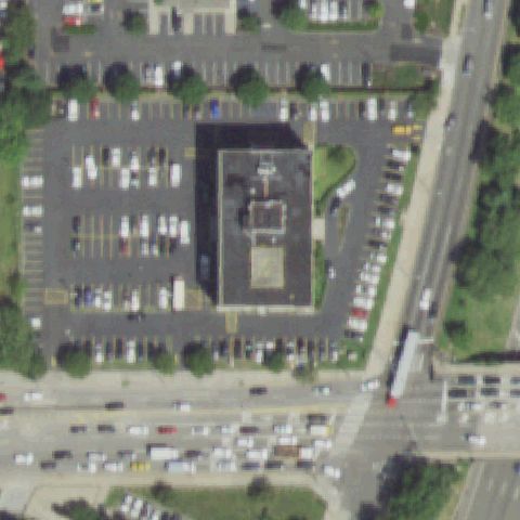 Uncertain
WHITESTONE, NY
40.7820750000001, -73.8261138889999
Dense urban block with parking and rooftops, no clear pad at center.
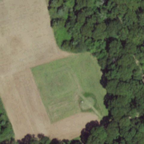 Uncertain
SOUTHOLD, NY
40.962777778, -72.456666667
Center is mowed grass field; only a faint circular feature lower in the frame, nothing clear at center.
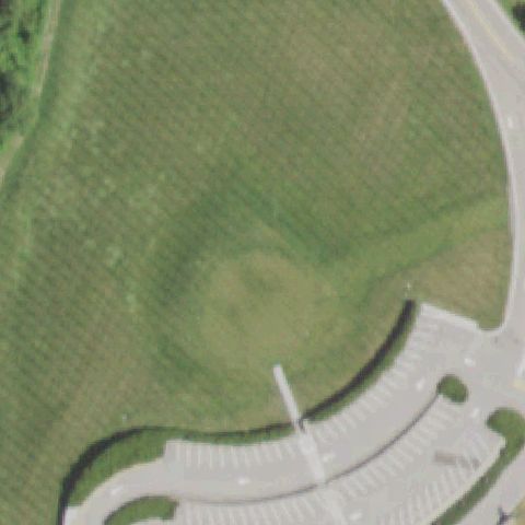 Uncertain
YORKTOWN, NY
41.211944444, -73.803333333
Center is open grass landscaping; only a faint discolored patch, no defined pad or markings.
 Uncertain
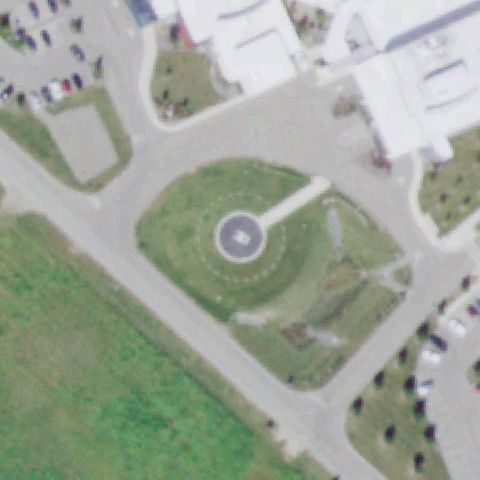
CORNING, NY
42.134983333, -76.9708805559999
Central circular paved feature appears to be a landscaped roundabout/fountain rather than a clear marked helipad.
 Uncertain
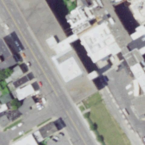
SYRACUSE, NY
43.055361111, -76.150422222
Urban rooftops at center with no distinct helipad markings visible.
 Uncertain
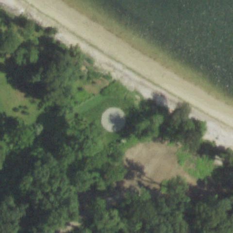
OYSTER BAY, NY
40.9141111110001, -73.5205972219999
Round dome-like structures near the shore at center appear to be tanks/structures, not a clear marked pad.
 Uncertain
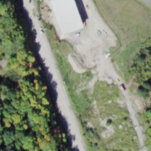
NEW WINDSOR, NY
41.4927777780001, -74.1043611109999
Center is a building and graded dirt/gravel yard; no defined pad or markings.
 Uncertain
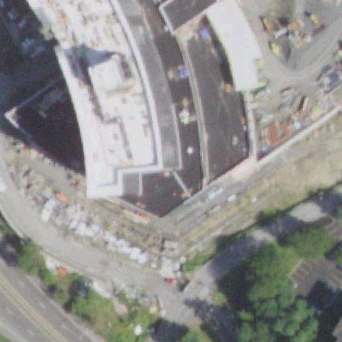
POUGHKEEPSIE, NY
41.691780556, -73.935894444
Construction/curved buildings at center with no visible helipad markings; imagery may predate the pad.
 Uncertain
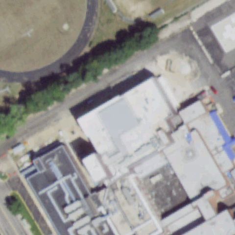
RIVERHEAD, NY
40.9348305560001, -72.674127778
Hospital rooftops at center with no clearly marked landing pad visible.
 Uncertain
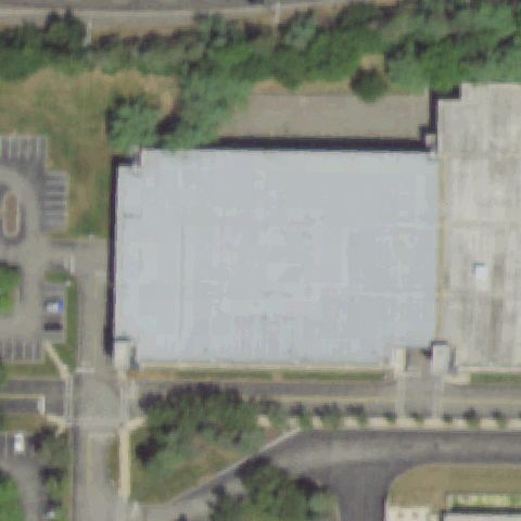
ISLANDIA, NY
40.8122000000001, -73.175630556
Large unmarked building roof fills the center; no distinct touchdown markings.
 Uncertain
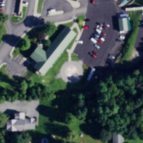
WARSAW, NY
42.753405306, -78.131466111
Central round structure appears to be a water tower/dome rather than a marked helipad.
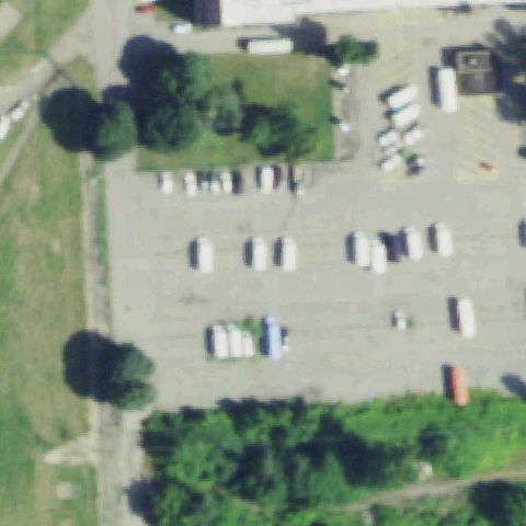 Uncertain
NIAGARA FALLS, NY
43.0817166670001, -79.041572222
Center is a paved lot with parked vehicles; no painted pad markings clearly visible.
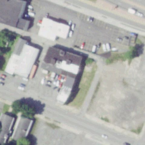 Uncertain
UTICA, NY
43.1042444440001, -75.236025
Center is buildings and lots; no clearly marked helipad visible, imagery may predate construction.
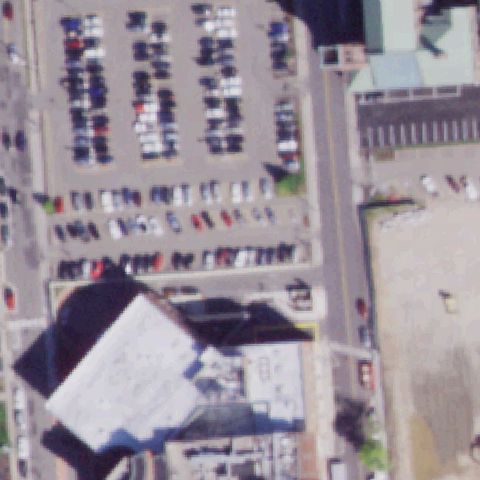 Uncertain
JOHNSON CITY, NY
42.115033333, -75.958461111
Urban parking and buildings at center with no helipad markings; rooftop pad not visible.
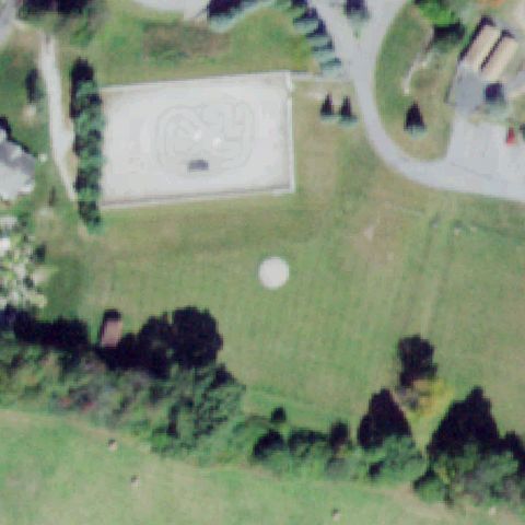 Uncertain
WARWICK, NY
41.293906, -74.345515
Image center is open grass with only a faint light spot and no painted H, touchdown marker, prepared pad, or wind cone visible.
 Confirmed
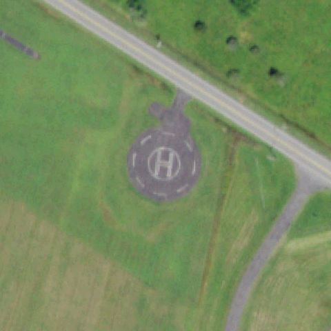
ATHENS, NY
42.287330556, -73.844944444
Clear circular pad with painted H and perimeter dashes at center.
✓ Confirmed by AI vision with Claude Opus 4.8
 Confirmed
AUBURN, NY
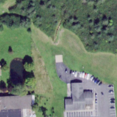
42.928844444, -76.615722222
Light square prepared pad at center but no clear markings; partly obscured by parking.
✓ Confirmed by AI vision with Claude Opus 4.8
 Confirmed
AUBURN, NY
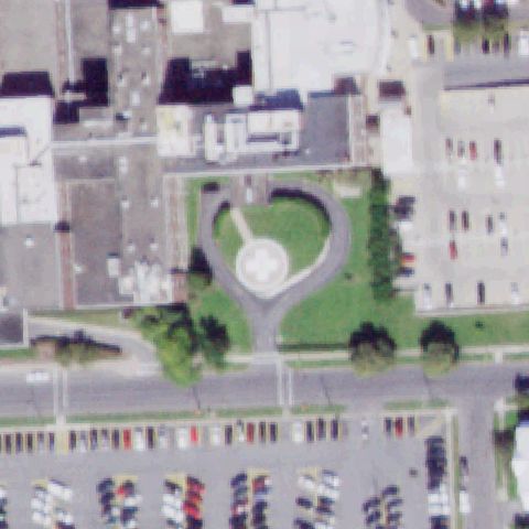
42.941052778, -76.564322222
Circular pad with white cross marking set in landscaped island at center.
✓ Confirmed by AI vision with Claude Opus 4.8
 Confirmed
BATAVIA, NY
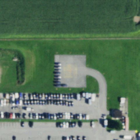
43.0313583330001, -78.186516667
Light square prepared pad at center with no visible markings.
✓ Confirmed by AI vision with Claude Opus 4.8
 Confirmed
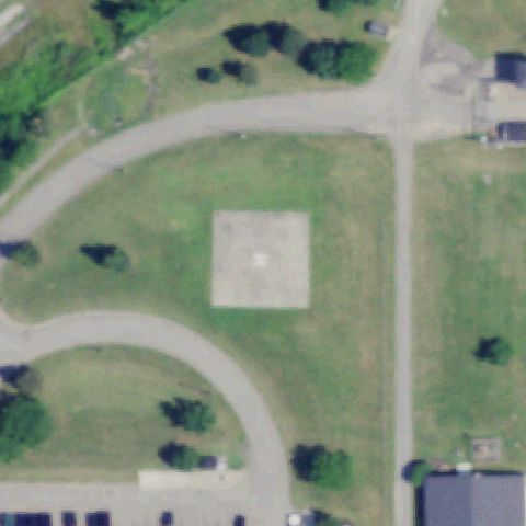
BROCTON, NY
42.407597222, -79.4393777779999
Light square prepared pad centered in open field, faint center mark.
✓ Confirmed by AI vision with Claude Opus 4.8
 Confirmed
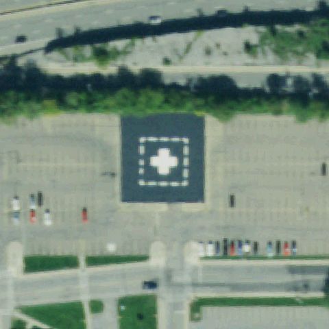
BUFFALO, NY
42.929144444, -78.830391667
Large square pad with white cross and dashed border at center.
✓ Confirmed by AI vision with Claude Opus 4.8
 Confirmed
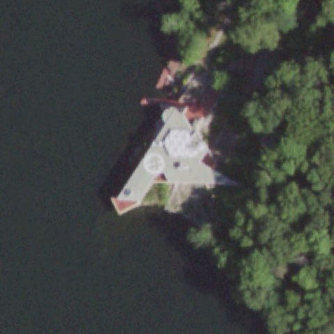
CARMEL, NY
41.3830083330001, -73.738547222
Circular marking on a lakeside point/dock near center, partly shadowed.
✓ Confirmed by AI vision with Claude Opus 4.8
 Confirmed
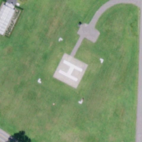
COOPERSTOWN, NY
42.689175, -74.921391667
Square pad with large painted H at center in open field.
✓ Confirmed by AI vision with Claude Opus 4.8
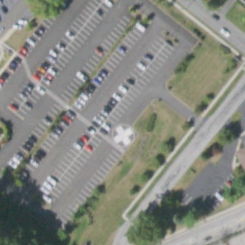 Confirmed
CORNWALL, NY
41.434583333, -74.041111111
White cross/circle pad marking at center between parking rows.
✓ Confirmed by AI vision with Claude Opus 4.8
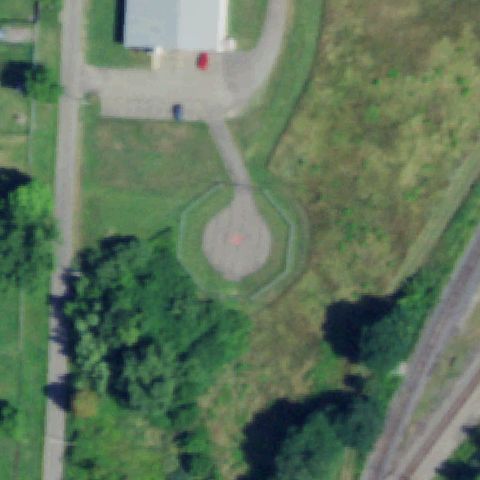 Confirmed
DUNKIRK, NY
42.4764555560001, -79.3241
Distinct octagonal/circular prepared pad at center with faint markings.
✓ Confirmed by AI vision with Claude Opus 4.8
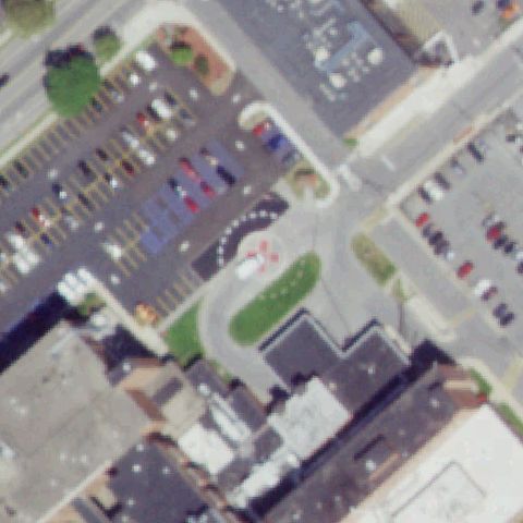 Confirmed
GLENS FALLS, NY
43.307336111, -73.646211111
Small circular pad with reddish marking at center in a hospital island.
✓ Confirmed by AI vision with Claude Opus 4.8
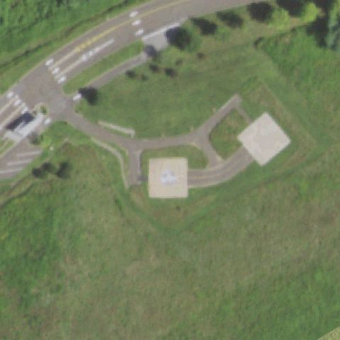 Confirmed
ARMONK, NY
41.102691667, -73.7255388889999
Square pad with helicopter/H marking at center plus a second pad nearby.
✓ Confirmed by AI vision with Claude Opus 4.8
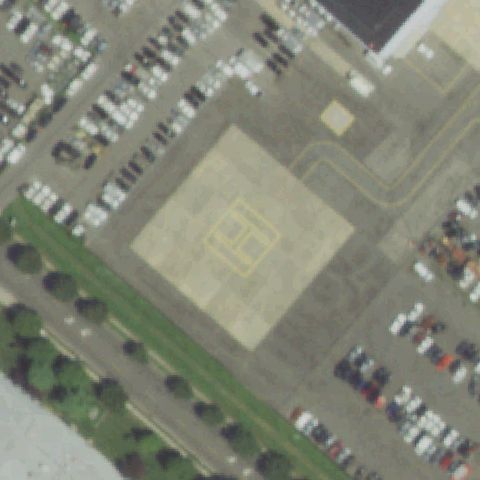 Confirmed
BETHPAGE, NY
40.74555, -73.4907388889999
Large square pad with inner square/number markings at center.
✓ Confirmed by AI vision with Claude Opus 4.8
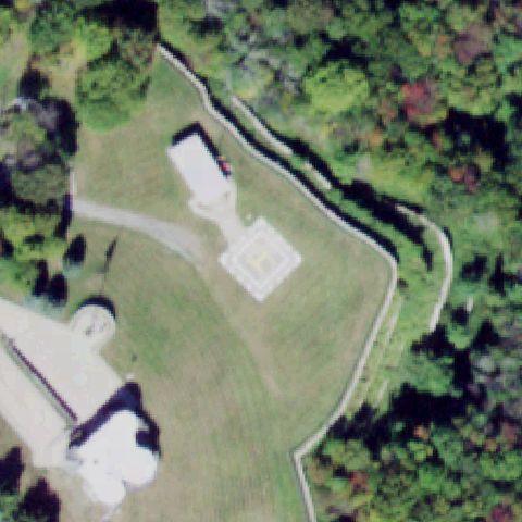 Confirmed
BLOOMINGBURG, NY
41.54855, -74.4685222219999
Square pad with H/square marking at center on private grounds.
✓ Confirmed by AI vision with Claude Opus 4.8
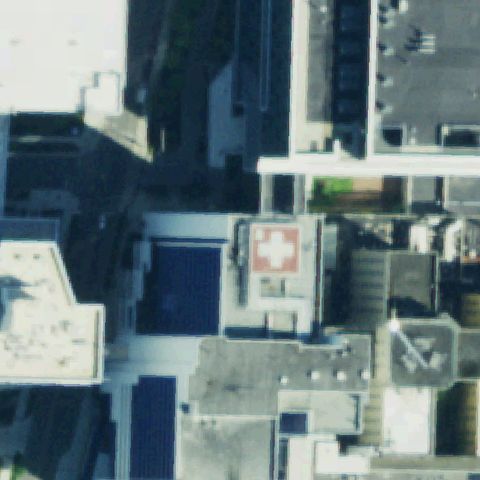 Confirmed
BUFFALO, NY
42.9011166670001, -78.866488889
Hospital rooftop with red cross pad marking near center.
✓ Confirmed by AI vision with Claude Opus 4.8
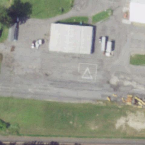 Confirmed
CAMILLUS, NY
43.085066667, -76.287068056
White square FATO with triangle marking on pavement at center.
✓ Confirmed by AI vision with Claude Opus 4.8
 Confirmed
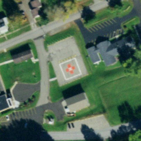
CUBA, NY
42.213255556, -78.287013889
Square pad with red cross/H marking at center on hospital grounds.
✓ Confirmed by AI vision with Claude Opus 4.8
 Confirmed
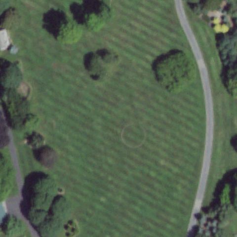
EAST MORICHES, NY
40.799333333, -72.763
Very faint mowed circle outline at center of a grassy field.
✓ Confirmed by AI vision with Claude Opus 4.8
 Confirmed
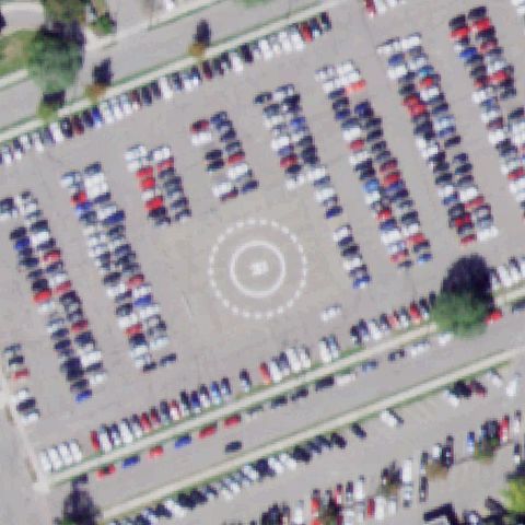
ELMIRA, NY
42.100666667, -76.826388889
Dashed circle with weight number marking at center of parking lot.
✓ Confirmed by AI vision with Claude Opus 4.8
 Confirmed
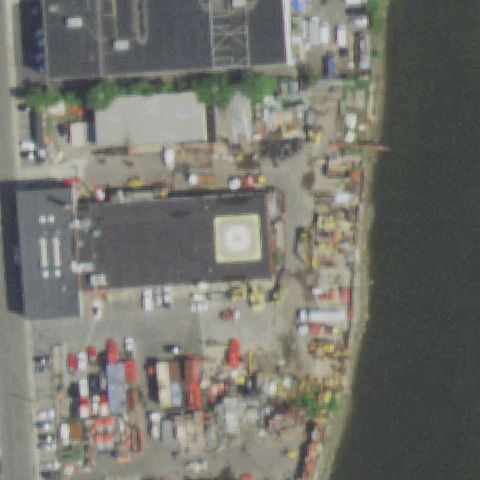
FREEPORT, NY
40.6500194440001, -73.567641667
Circular marked pad on industrial waterfront yard at center.
✓ Confirmed by AI vision with Claude Opus 4.8
 Confirmed
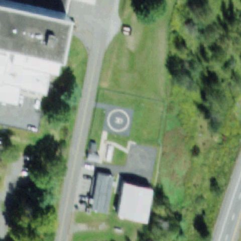
HARRIS, NY
41.708741667, -74.7363472219999
Circular pad with H marking at center near medical buildings.
✓ Confirmed by AI vision with Claude Opus 4.8
 Confirmed
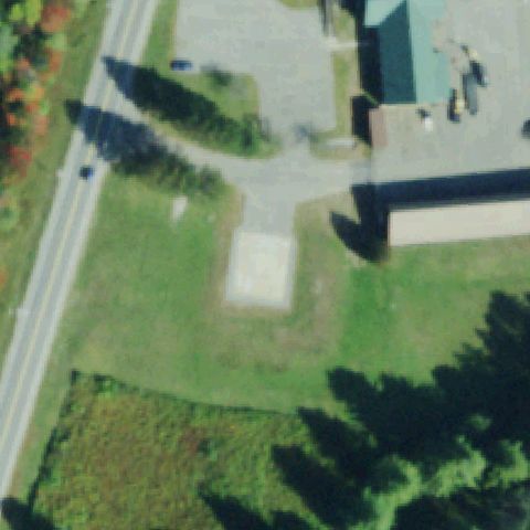
INDIAN LAKE, NY
43.7678888890001, -74.2634805559999
Square pad with red cross/H marking at center beside a treatment plant.
✓ Confirmed by AI vision with Claude Opus 4.8
 Confirmed
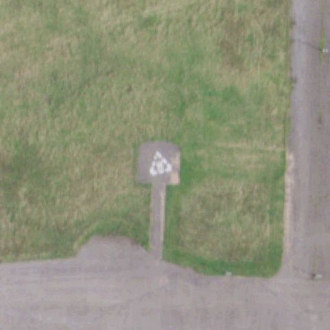
KINGSTON, NY
41.9734888890001, -73.996944444
Small prepared pad with white triangle marking at center.
✓ Confirmed by AI vision with Claude Opus 4.8
 Confirmed
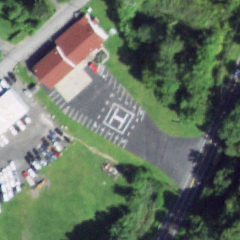
KINGSTON, NY
41.923816667, -74.04275
Painted H pad marking on pavement at center near a building.
✓ Confirmed by AI vision with Claude Opus 4.8
 Confirmed
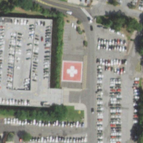
MANHASSET, NY
40.775213889, -73.699836111
Square pad with red cross/H marking at center between parking lots.
✓ Confirmed by AI vision with Claude Opus 4.8
 Confirmed
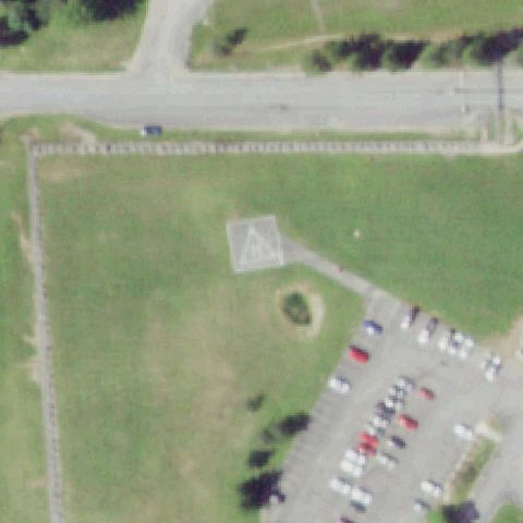
MARCY, NY
43.177441667, -75.227436111
White square FATO with triangle marking in a grass field at center.
✓ Confirmed by AI vision with Claude Opus 4.8
 Confirmed
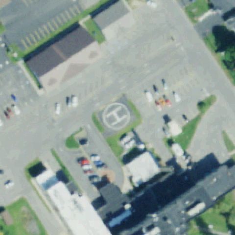
MASSENA, NY
44.9367333330001, -74.909102778
Circular pad with painted H at center of a paved lot.
✓ Confirmed by AI vision with Claude Opus 4.8
 Confirmed
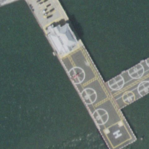
NEW YORK, NY
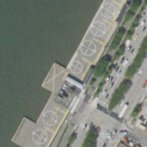
40.7012136110001, -74.0090283329999
Waterfront heliport pier with multiple circular touchdown markers at center.
✓ Confirmed by AI vision with Claude Opus 4.8
 Confirmed
NEW YORK, NY
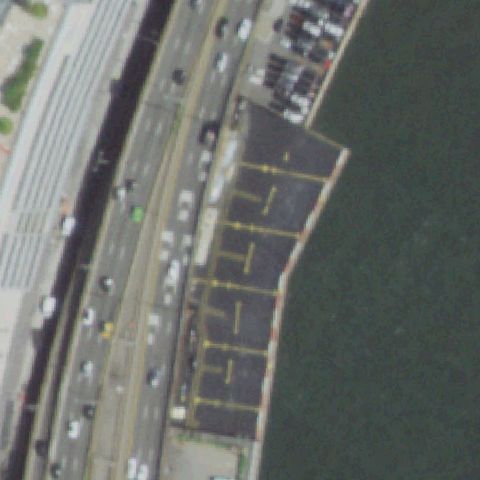
40.754902778, -74.007059722
Riverside heliport with row of circular touchdown markers across center.
✓ Confirmed by AI vision with Claude Opus 4.8
 Confirmed
NEW YORK, NY
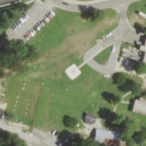
40.7424472220001, -73.9721222219999
Waterfront pier heliport deck with faint yellow lane markings near center.
✓ Confirmed by AI vision with Claude Opus 4.8
 Confirmed
NORTHPORT, NY
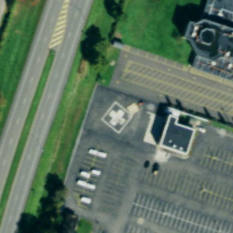
40.8912722220001, -73.309030556
White square pad with red H marking on open lawn near center.
✓ Confirmed by AI vision with Claude Opus 4.8
 Confirmed
OLEAN, NY
42.091905556, -78.4284499999999
White circular pad with red cross marking near center beside hospital.
✓ Confirmed by AI vision with Claude Opus 4.8
 Confirmed
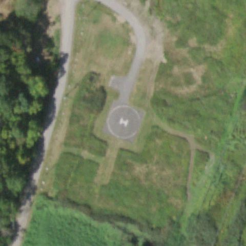
PEARL RIVER, NY
41.0778750000001, -74.024830556
Circular pad with H marking on cleared ground at image center.
✓ Confirmed by AI vision with Claude Opus 4.8
 Confirmed
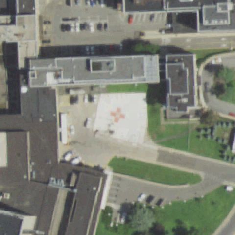
HEMPSTEAD, NY
40.726472222, -73.552766667
White pad with red cross marking near center between medical buildings.
✓ Confirmed by AI vision with Claude Opus 4.8
 Confirmed
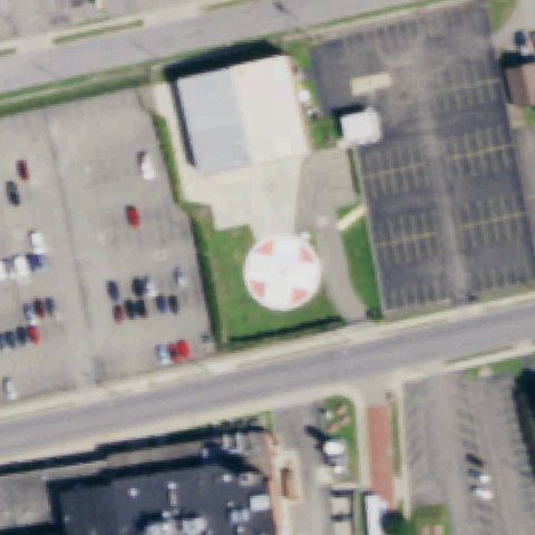
JAMESTOWN, NY
42.092225, -79.231519444
White circular pad with red cross marking at image center.
✓ Confirmed by AI vision with Claude Opus 4.8
 Confirmed
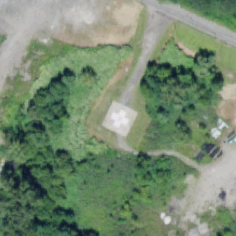
LITTLE FALLS, NY
43.040877778, -74.8366583329999
White square pad with cross/circle marking on cleared ground at center.
✓ Confirmed by AI vision with Claude Opus 4.8
 Confirmed
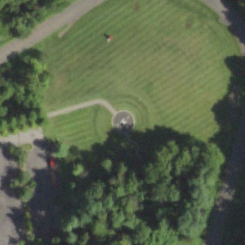
ORANGETOWN, NY
41.019141667, -73.918147222
Round gray pad on lawn near center with a helicopter shadow nearby.
✓ Confirmed by AI vision with Claude Opus 4.8
 Confirmed
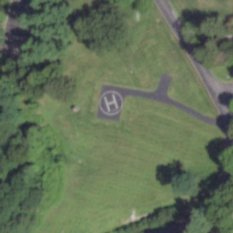
OSSINING, NY
41.1877500000001, -73.868138889
Clear circle-and-H marking on a paved pad at image center.
✓ Confirmed by AI vision with Claude Opus 4.8
 Confirmed
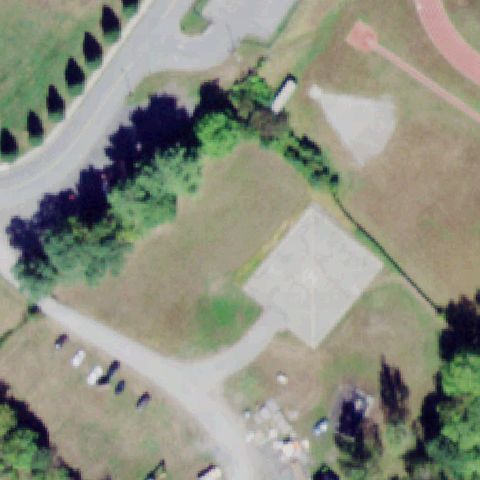
PORT JERVIS, NY
41.3770380560001, -74.6759958329999
Light square pad with faint marking on lawn near center.
✓ Confirmed by AI vision with Claude Opus 4.8
 Confirmed
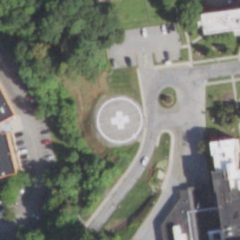
POUGHKEEPSIE, NY
41.718558333, -73.928558333
Clear circular pad with white cross marking at image center.
✓ Confirmed by AI vision with Claude Opus 4.8
 Confirmed
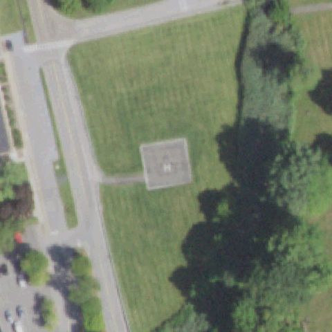
POUGHKEEPSIE, NY
41.657236111, -73.935627778
Gray square pad with faint marking on lawn near center.
✓ Confirmed by AI vision with Claude Opus 4.8
 Confirmed
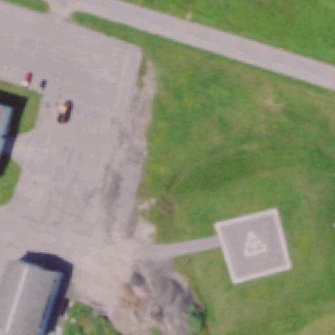
PULASKI, NY
43.5520138890001, -76.0902011109999
Square pad with marking served by taxi paths at image center.
✓ Confirmed by AI vision with Claude Opus 4.8
 Confirmed
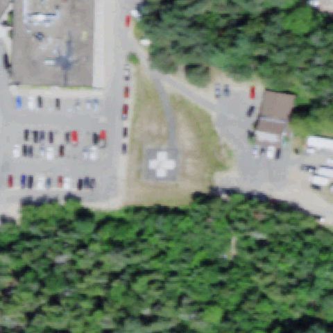
SARANAC LAKE, NY
44.3442166670001, -74.142275
Square pad with white cross marking on grass near center.
✓ Confirmed by AI vision with Claude Opus 4.8
 Confirmed
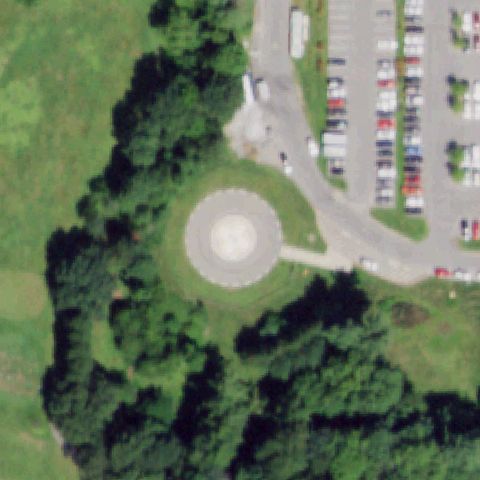
SARATOGA SPRINGS, NY
43.086652778, -73.8013972219999
Distinct circular prepared pad on lawn at image center.
✓ Confirmed by AI vision with Claude Opus 4.8
 Confirmed
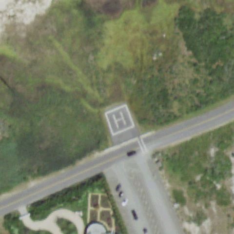
SOUTHAMPTON, NY
40.8462555560001, -72.466388889
Square pad with clear H marking beside a road near center.
✓ Confirmed by AI vision with Claude Opus 4.8
 Confirmed
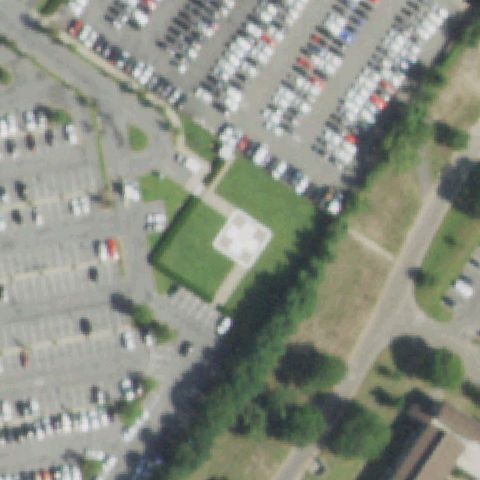
STATEN ISLAND, NY
40.5842027780001, -74.083261111
Square pad with white cross marking on lawn near center.
✓ Confirmed by AI vision with Claude Opus 4.8
 Confirmed
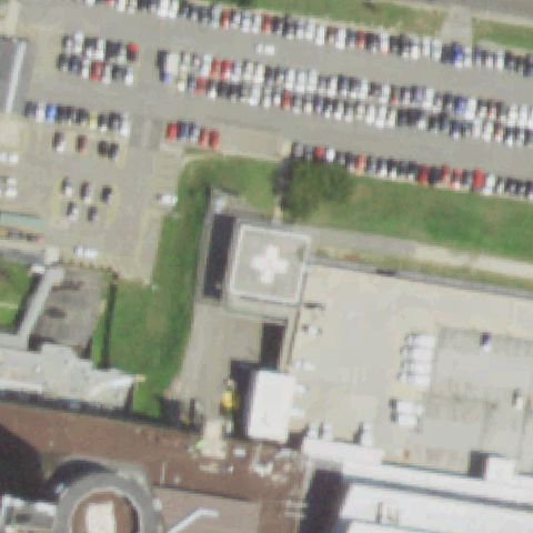
STONY BROOK, NY
40.9098916670001, -73.114661111
Rooftop pad with white cross marking near center of hospital complex.
✓ Confirmed by AI vision with Claude Opus 4.8
 Confirmed
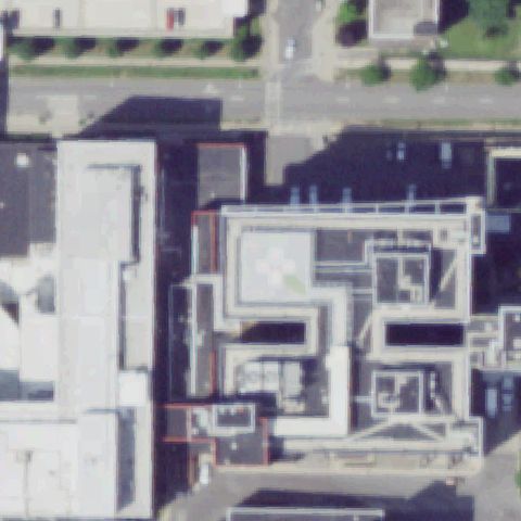
SYRACUSE, NY
43.0423222220001, -76.139361111
Faint white cross marking on a rooftop pad near image center.
✓ Confirmed by AI vision with Claude Opus 4.8
 Confirmed
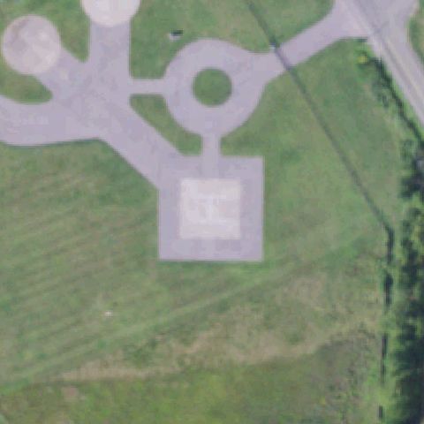
VERONA, NY
43.1105694440001, -75.593658333
Square pad with faint H marking served by taxi paths near center.
✓ Confirmed by AI vision with Claude Opus 4.8
 Confirmed
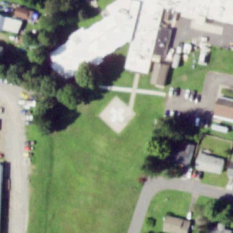
WALTON, NY
42.1636472220001, -75.129011111
Square pad with white cross marking on lawn near center of hospital.
✓ Confirmed by AI vision with Claude Opus 4.8
 Confirmed
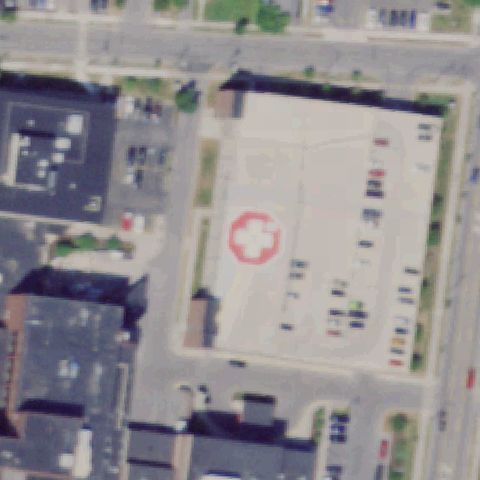
WATERTOWN, NY
43.965516667, -75.913438889
Red circle-and-cross marking on a paved pad near image center.
✓ Confirmed by AI vision with Claude Opus 4.8
 Confirmed
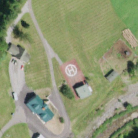
WEST KILL, NY
42.192777778, -74.326666667
A red painted pad with a clear white H marking sits right at the image center next to a small structure in a grass field.
✓ Confirmed by AI vision with Claude Opus 4.8
 Confirmed
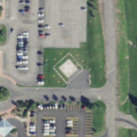
ROCHESTER, NY
43.1929138890001, -77.7031527779999
Diamond/square prepared pad in lawn at image center with faint markings.
✓ Confirmed by AI vision with Claude Opus 4.8
 Confirmed
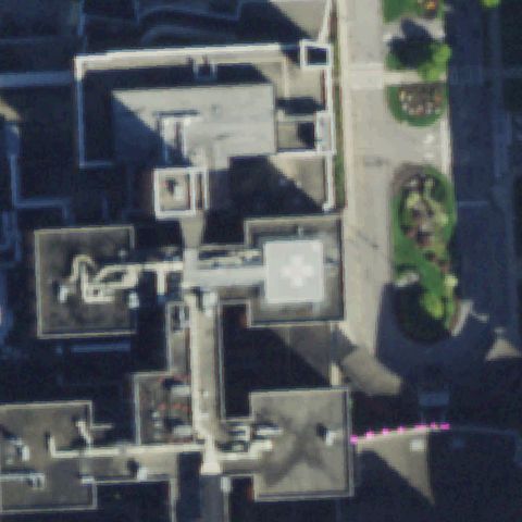
ROCHESTER, NY
43.1232527780001, -77.624122222
White rooftop touchdown pad with cross/H marking at center of the hospital complex.
✓ Confirmed by AI vision with Claude Opus 4.8
 Confirmed
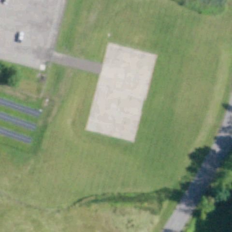
SCHENECTADY, NY
42.8260388890001, -73.874063889
Large prepared rectangular concrete pad with access path occupies the image center.
✓ Confirmed by AI vision with Claude Opus 4.8
 Confirmed
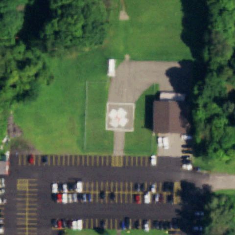
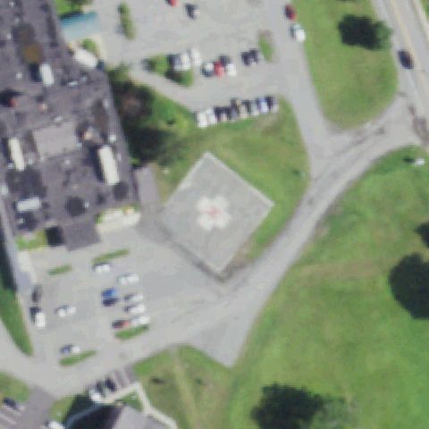
SPRINGVILLE, NY
42.510883333, -78.658652778
White circular touchdown marker in lawn just below center beside the hospital parking lot.
✓ Confirmed by AI vision with Claude Opus 4.8
 Confirmed
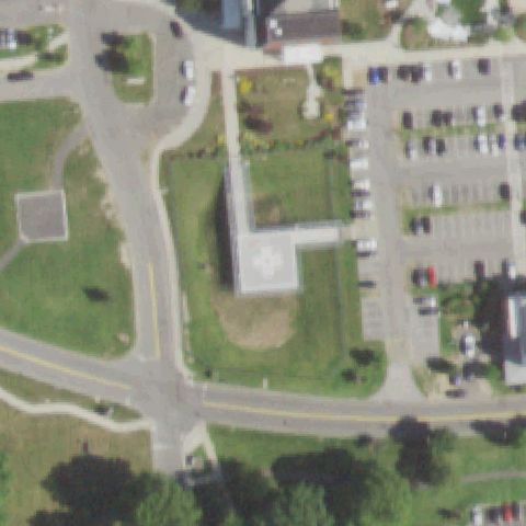
TICONDEROGA, NY
43.849313889, -73.4364138889999
Rooftop pad with circular marking on the hospital building at image center.
✓ Confirmed by AI vision with Claude Opus 4.8
 Confirmed
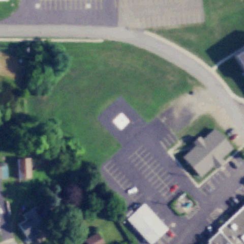
VALHALLA, NY
41.0849027780001, -73.805336111
White square rooftop pad with cross/H marking on the medical center building at center.
✓ Confirmed by AI vision with Claude Opus 4.8
 Confirmed
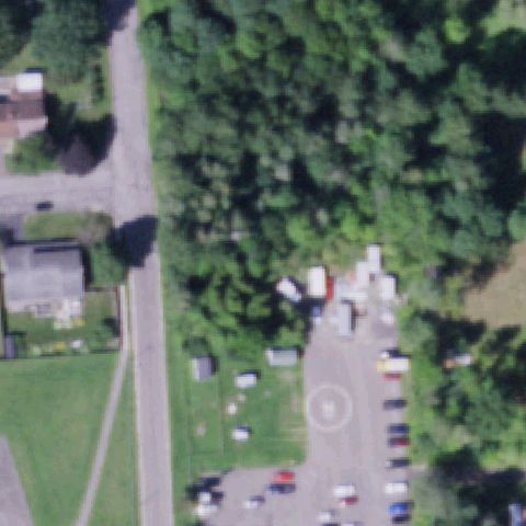
WESTFIELD, NY
42.3295583330001, -79.570866667
Small white prepared pad in the grassy area near center beside the hospital lot.
✓ Confirmed by AI vision with Claude Opus 4.8
 Confirmed
NORWICH, NY
42.5425138890001, -75.527022222
Faint painted circular touchdown marker on the paved area near the lower center of the frame.
✓ Confirmed by AI vision with Claude Opus 4.8
 Confirmed
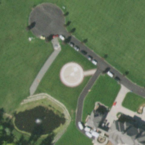
STONY POINT, NY
41.2310277780001, -74.047333333
Round prepared concrete pad/structure in the lawn near center of the property.
✓ Confirmed by AI vision with Claude Opus 4.8
 Confirmed
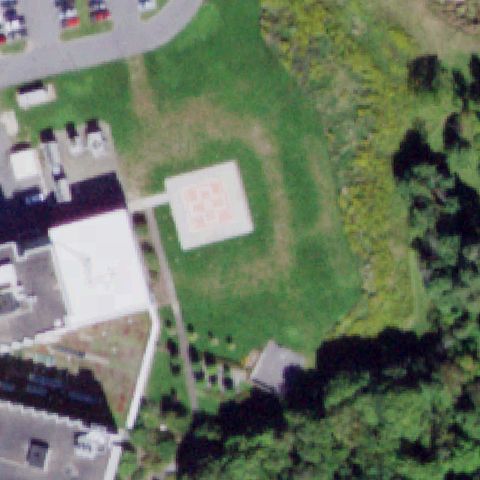
ITHACA, NY
42.469444444, -76.536111111
Square pad with red cross/H marking in the lawn at image center beside the medical center.
✓ Confirmed by AI vision with Claude Opus 4.8
 Confirmed
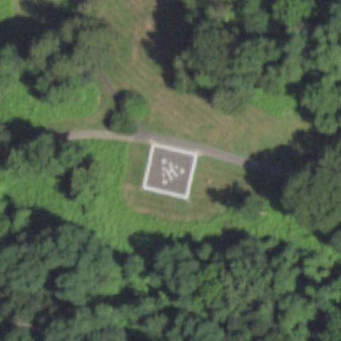
NORTH TARRYTOWN, NY
41.112808333, -73.862838889
Square prepared pad with painted H marking in a forest clearing at image center.
✓ Confirmed by AI vision with Claude Opus 4.8
 Confirmed
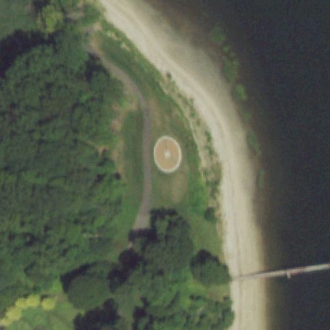
COVE NECK, NY
40.8897916670001, -73.491602778
Round prepared pad with center marking on the point of land at image center.
✓ Confirmed by AI vision with Claude Opus 4.8
 Confirmed
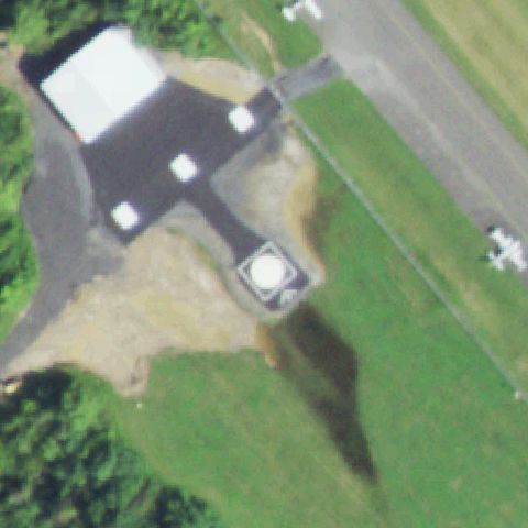
KINGSTON, NY
41.9827222220001, -73.963222222
White circular prepared pad near center beside a hangar and grass airstrip.
✓ Confirmed by AI vision with Claude Opus 4.8