 Not visible
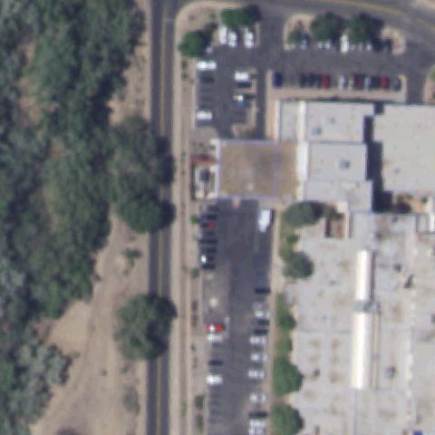
NM62 SjrMc
FARMINGTON, NM
36.724169444, -108.218130556
Center shows hospital buildings and parking with no visible pad marking.
80% confidence
Verify on the map →
Is there really a pad here?
Data: FAA Airports (ArcGIS open layer) | Imagery: USGS NAIP (public domain) | AI vision: Claude Opus 4.8 | built 2026-07-05
A flag means a pad could not be confirmed from current imagery - never that a heliport is missing, fake, or mislocated. Help us check: vote on each one below.
Not visibleFARMINGTON, NM
36.724169444, -108.218130556
Center shows hospital buildings and parking with no visible pad marking.
 Not visible
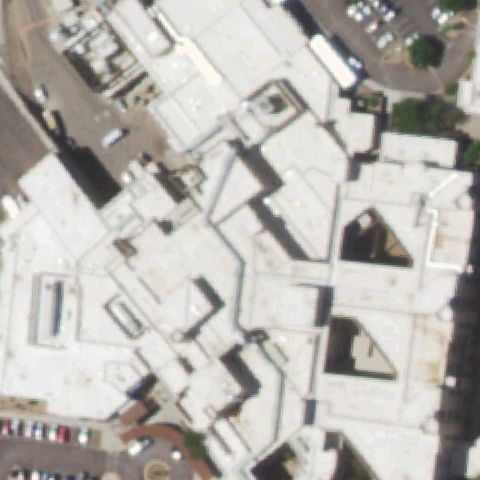
SANTA FE, NM
35.659475833, -105.945576667
Dense hospital rooftops fill the frame with no clear pad marking at center.
 Not visible
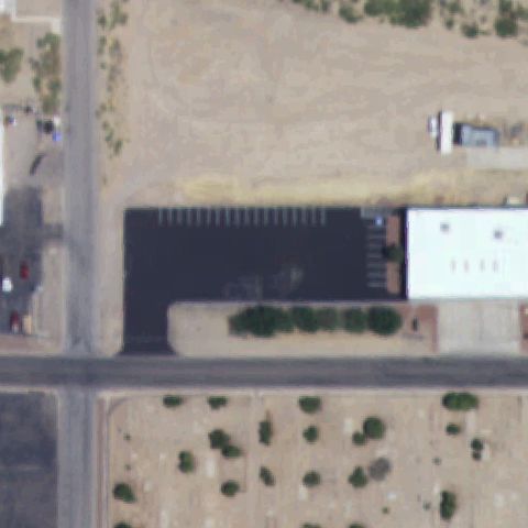
TRUTH OR CONSEQUENCES, NM
33.1396833330001, -107.248755556
Center is a plain black asphalt lot with no pad markings.
 Not visible
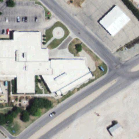
LOVINGTON, NM
32.965188889, -103.346222222
Hospital building occupies center; nearby circle is a landscaped feature, not a pad.
 Not visible
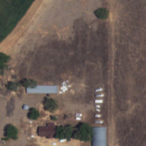
SEDAN, NM
36.1163888890001, -103.096666667
Center is a bare dirt field with scattered structures and no pad marking.
 Not visible
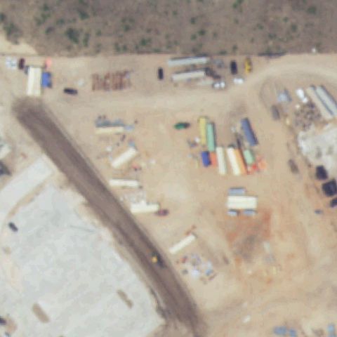
HOBBS, NM
32.7562055560001, -103.172888889
Center is a construction staging yard with materials and no pad.
 Not visible
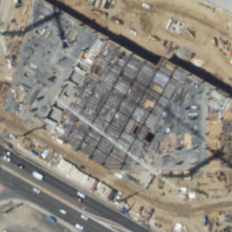
ALBUQUERQUE, NM
35.0889638890001, -106.621030556
Center shows a building under construction with no pad; imagery predates completion.
 Not visible
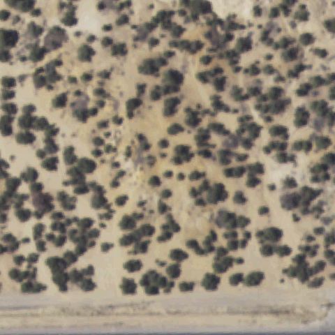
FARMINGTON, NM
36.777564, -108.173884
Center is scrub and trees with no prepared pad visible.
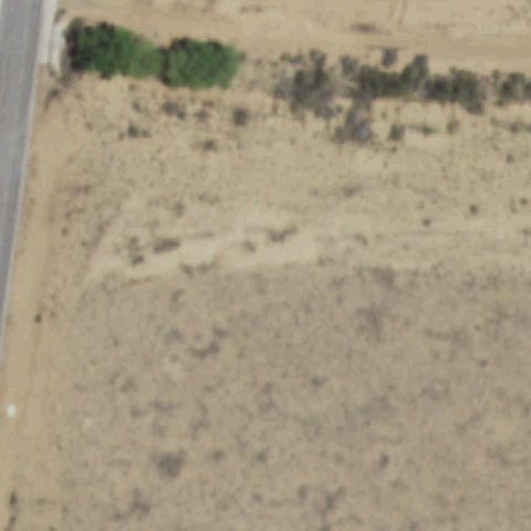 Not visible
LOS LUNAS, NM
34.8200277780001, -106.772713889
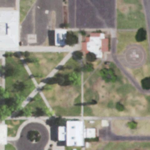
Center is open desert field with no prepared pad or markings.
 Off-center
PLAYAS, NM
31.9145375000001, -108.534493056
A circular touchdown pad is visible to the right of center, not at center.
 Off-center
RATON, NM
36.862383333, -104.442883333
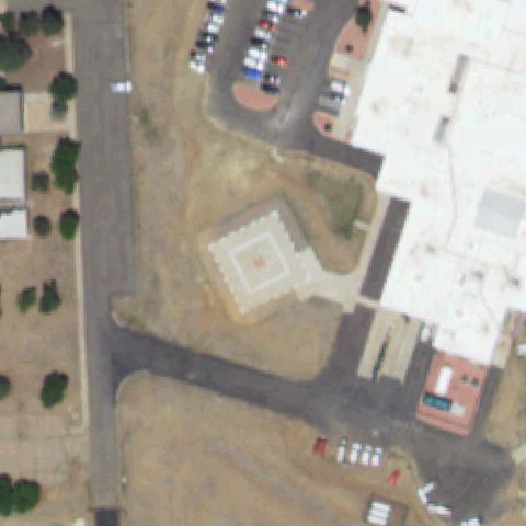
Square pad with marking sits left of center beside the medical building.
 Off-center
DEMING, NM
32.259283333, -107.7675
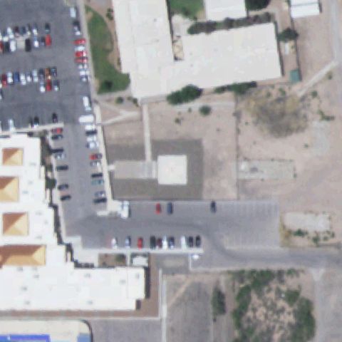
A light prepared square pad sits left of center with no clear marking visible.
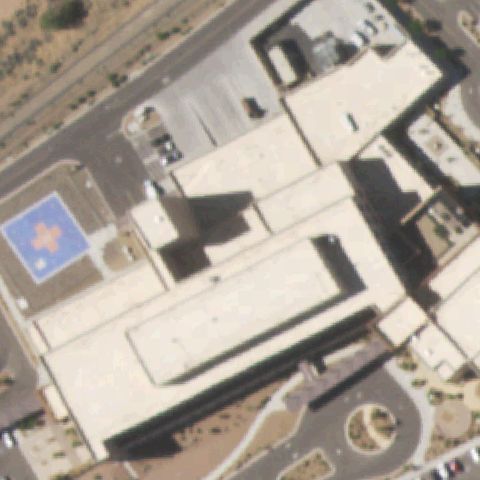 Off-center
SANTA FE, NM
35.6161277780001, -106.025625
Blue square rooftop pad with cross marking sits left of center on the hospital.
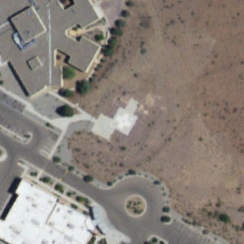 Uncertain
SOCORRO, NM
34.036936111, -106.910897222
A faint light square is near center but shows no marking, likely a foundation not a pad.
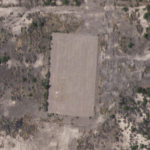 Uncertain
ALAMOGORDO, NM
32.8961944440001, -105.967166667
Center is a large cleared rectangular pad but with no visible markings.
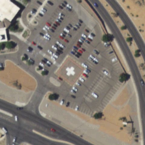 Confirmed
ALBUQUERQUE, NM
35.206811111, -106.676180556
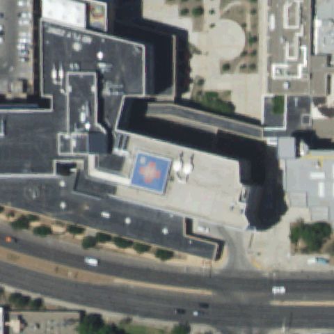
White H/cross marking on a red-bordered square pad sits at image center.
✓ Confirmed by AI vision with Claude Opus 4.8
 Confirmed
ALBUQUERQUE, NM
35.0879833330001, -106.618586111
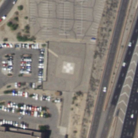
Blue rooftop pad with white cross marking near center of the hospital roof.
✓ Confirmed by AI vision with Claude Opus 4.8
 Confirmed
ALBUQUERQUE, NM
35.088852778, -106.636361111
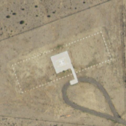
White cross/H marking on a square prepared pad at image center.
✓ Confirmed by AI vision with Claude Opus 4.8
 Confirmed
CIMARRON, NM
36.512708333, -104.924708333
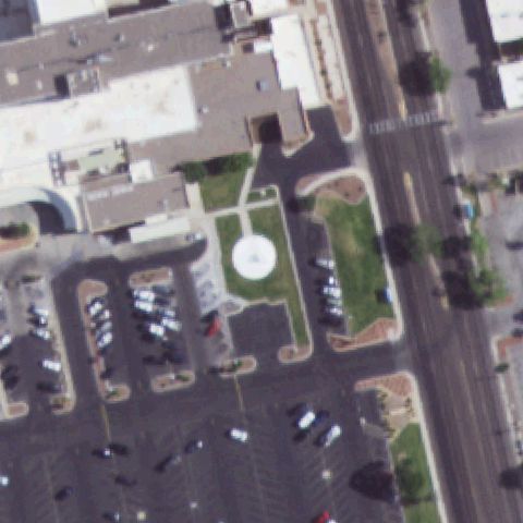
White H marking on a small square pad at center with a circular taxi loop.
✓ Confirmed by AI vision with Claude Opus 4.8
 Confirmed
LAS CRUCES, NM
32.291722222, -106.735386111
Circular white touchdown pad sits at image center in the courtyard.
✓ Confirmed by AI vision with Claude Opus 4.8
 Confirmed
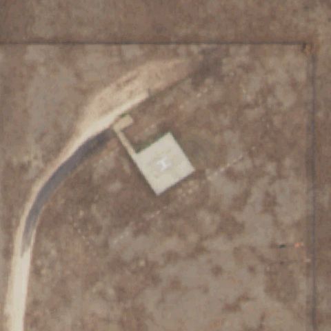
MOSQUERO, NM
35.7824444440001, -103.958027778
Faint square pad with an H marking near center on bare ground with access drive.
✓ Confirmed by AI vision with Claude Opus 4.8
 Confirmed
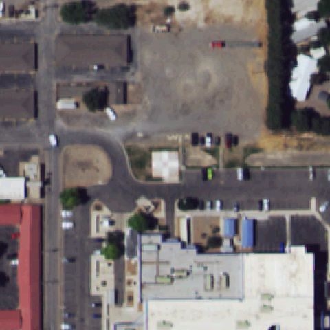
ROSWELL, NM
33.417638889, -104.521372222
Square pad with white cross/H marking near center beside the hospital.
✓ Confirmed by AI vision with Claude Opus 4.8
 Confirmed
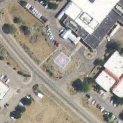
TAOS, NM
36.3676972220001, -105.577413889
Blue/red square pad with white cross marking near image center.
✓ Confirmed by AI vision with Claude Opus 4.8
 Confirmed
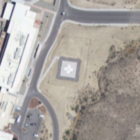
TRUTH OR CONSEQUENCES, NM
33.140683333, -107.240930556
Square pad with white cross marking at center on cleared ground.
✓ Confirmed by AI vision with Claude Opus 4.8
 Confirmed
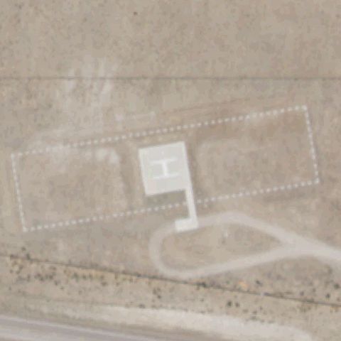
QUEMADO, NM
34.315725, -108.309891667
White H marking on a faint square pad at image center with a circular drive.
✓ Confirmed by AI vision with Claude Opus 4.8
 Confirmed
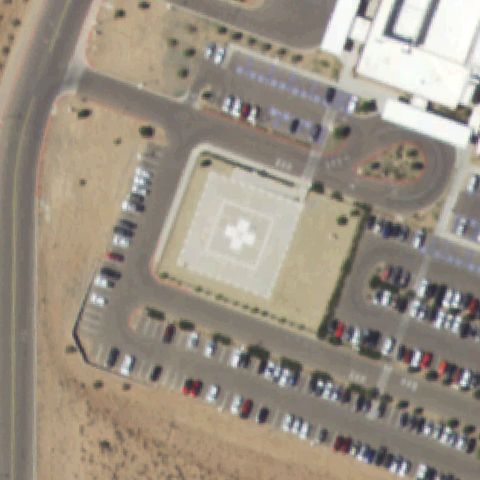
RIO RANCHO, NM
35.308105556, -106.680975
Square pad with white cross marking at image center surrounded by parking.
✓ Confirmed by AI vision with Claude Opus 4.8
 Confirmed
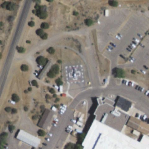
SILVER CITY, NM
32.797847222, -108.261372222
White H marking on a square pad just below center within the landscaped area.
✓ Confirmed by AI vision with Claude Opus 4.8
 Confirmed
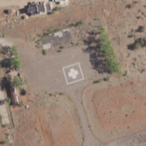
ZUNI, NM
35.084958333, -108.788316667
Square pad with white cross marking at image center on cleared ground.
✓ Confirmed by AI vision with Claude Opus 4.8
 Confirmed
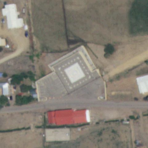
TAOS, NM
36.5359535280001, -105.652823694
Building with a square pad and H/cross marking at image center.
✓ Confirmed by AI vision with Claude Opus 4.8
 Confirmed
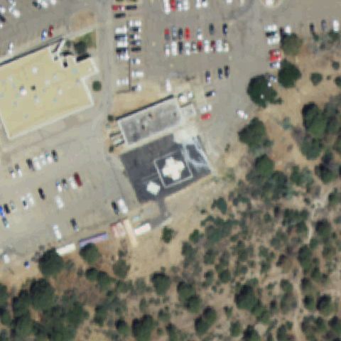
LOS ALAMOS, NM
35.881652778, -106.317552778
Dark rectangular pad with a white painted marking centered at the hospital rooftop/ground area matches the FAA coordinate.
✓ Confirmed by AI vision with Claude Opus 4.8
 Confirmed
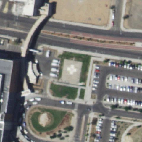
ALBUQUERQUE, NM
35.0820000000001, -106.634138889
White cross marking on a square pad at image center in the courtyard.
✓ Confirmed by AI vision with Claude Opus 4.8
 Confirmed
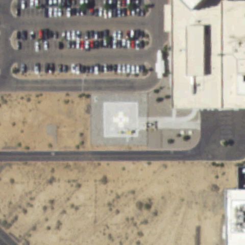
RIO RANCHO, NM
35.218969444, -106.694388889
Square pad with white cross marking at image center beside the hospital.
✓ Confirmed by AI vision with Claude Opus 4.8
 Confirmed
SAN FIDEL, NM
35.068552778, -107.571925
Square pad with white cross/H marking near center beside the building.
✓ Confirmed by AI vision with Claude Opus 4.8
 Confirmed
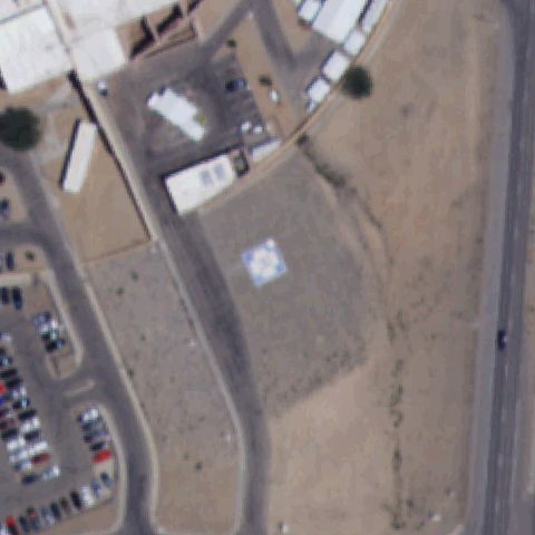
SHIPROCK, NM
36.8040550000001, -108.690756
Blue/white square pad with cross marking near image center.
✓ Confirmed by AI vision with Claude Opus 4.8