 Not visible
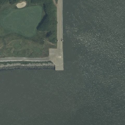
2NJ9 Bayonne Golf Club
BAYONNE, NJ
40.6641666670001, -74.0895277779999
Center is a waterside jetty and open water with no visible pad.
70% confidence
Verify on the map →
Is there really a pad here?
Data: FAA Airports (ArcGIS open layer) | Imagery: USGS NAIP (public domain) | AI vision: Claude Opus 4.8 | built 2026-07-05
A flag means a pad could not be confirmed from current imagery - never that a heliport is missing, fake, or mislocated. Help us check: vote on each one below.
Not visibleBAYONNE, NJ
40.6641666670001, -74.0895277779999
Center is a waterside jetty and open water with no visible pad.
 Not visible
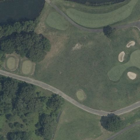
CAPE MAY COURT HOUSE, NJ
39.1053944440001, -74.8093916669999
Center is golf course fairway and rough with no pad or markings.
 Not visible
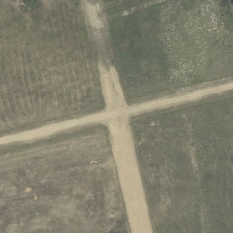
CASSVILLE, NJ
40.0639166670001, -74.4410833329999
Two crossing dirt/grass strips with no helipad markings at center.
 Not visible
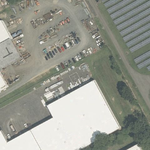
CINNAMINSON, NJ
40.015833333, -74.975777778
Industrial yard and parking with no pad at center.
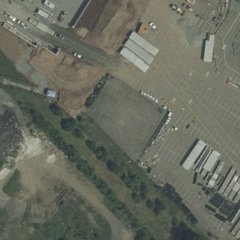 Not visible
CLIFTON, NJ
40.8351000000001, -74.152613889
Bare dirt/construction lot with no distinct pad marking at center.
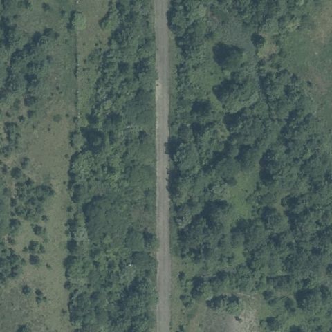 Not visible
COLTS NECK, NJ
40.254278056, -74.1690313889999
Forest with a road or trail running through center, no pad.
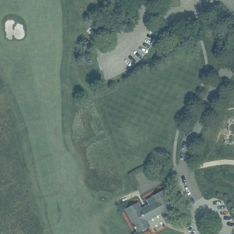 Not visible
COLTS NECK, NJ
40.3000000000001, -74.115833333
Open turf and trees with no pad or markings at center.
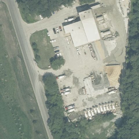 Not visible
FARMINGDALE, NJ
40.213944444, -74.191222222
Construction yard with vehicles and gravel, no pad at center.
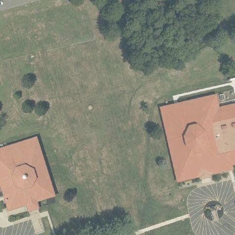 Not visible
FARMINGDALE, NJ
40.172305556, -74.178694444
Open lawn between large homes with no pad at center.
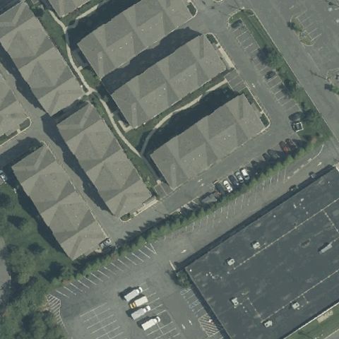 Not visible
FORDS, NJ
40.537326944, -74.2982024999999
Industrial buildings and parking with no pad at center.
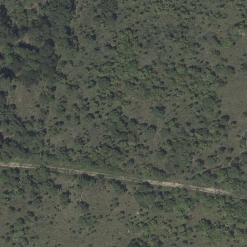 Not visible
FORKED RIVER, NJ
39.8398411110001, -74.1776391669999
Wooded area with a faint trail and no pad at center.
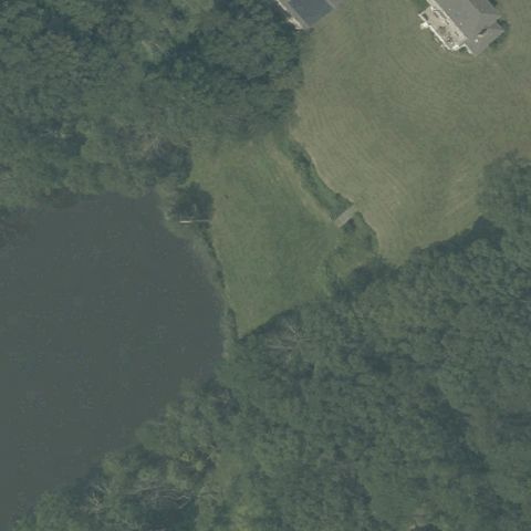 Not visible
GLADSTONE, NJ
40.7233055560001, -74.687780556
Grass, trees, and a pond with no pad at center.
 Not visible
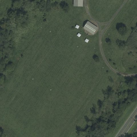
JERSEY CITY, NJ
40.6958333330001, -74.0591111109999
Open park field with sheds and no pad markings at center.
 Not visible
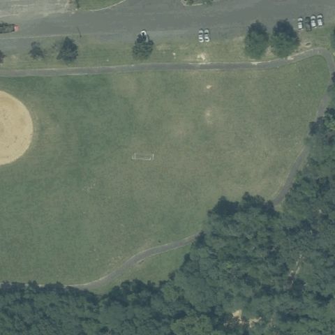
KEANSBURG, NJ
40.4263888890001, -74.139916667
Park ballfield and open turf with no pad at center.
 Not visible
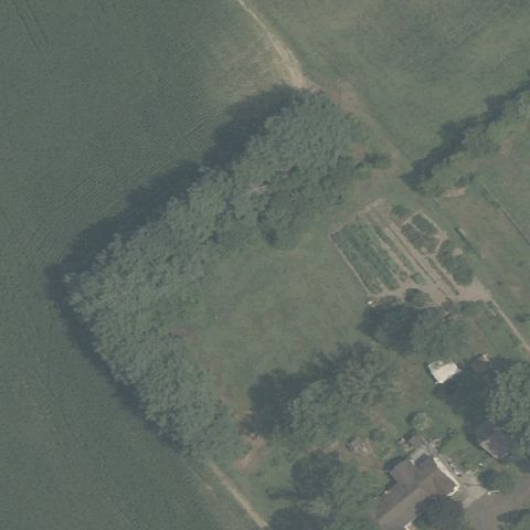
MEDFORD, NJ
39.8021944440001, -74.7595277779999
Trees and farm field with no pad at center.
 Not visible
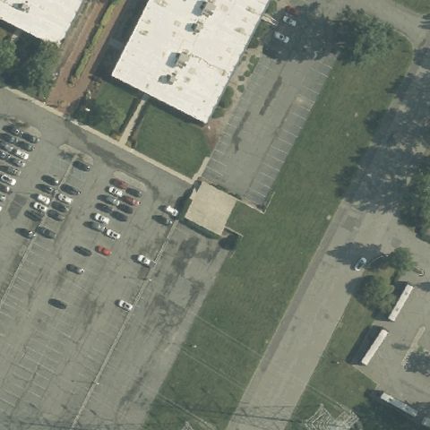
MORRIS PLAINS, NJ
40.8404722220001, -74.4618055559999
Corporate parking lot with no distinct pad at center.
 Not visible
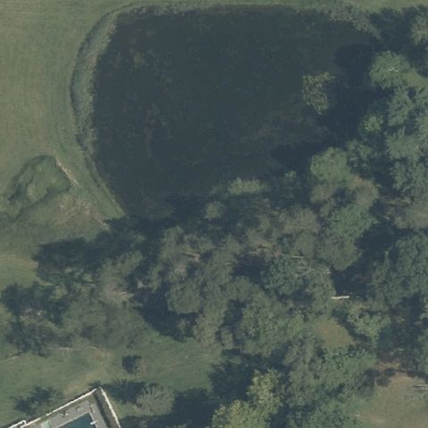
MORRISTOWN, NJ
40.7528783330001, -74.439875278
Dark woods and field with no pad at center.
 Not visible
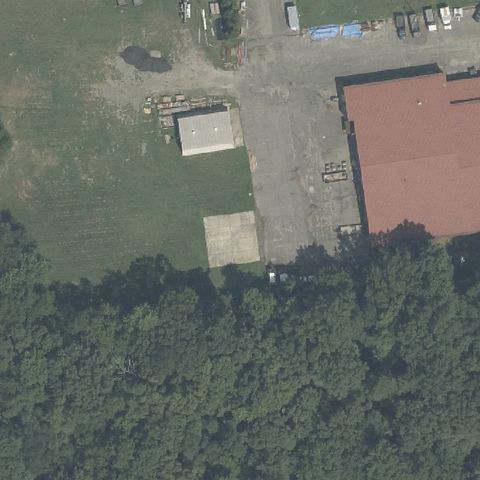
MOUNT HOLLY, NJ
39.978122222, -74.783952778
Building and yard with no pad markings at center.
 Not visible
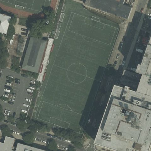
NEWARK, NJ
40.7351472220001, -74.178497222
Soccer/sports field at center with no helipad markings.
 Not visible
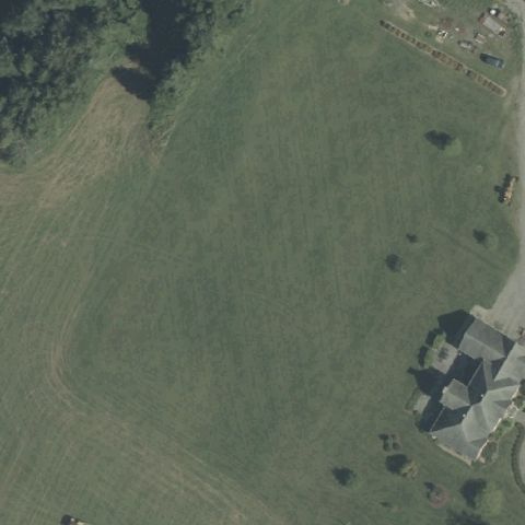
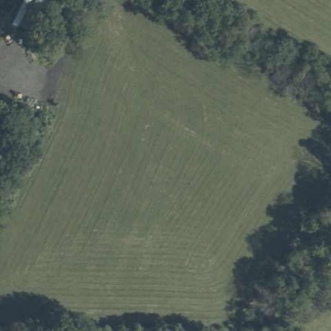
NEWTON, NJ
41.0348333330001, -74.846416667
Open mowed field with no pad at center.
 Not visible
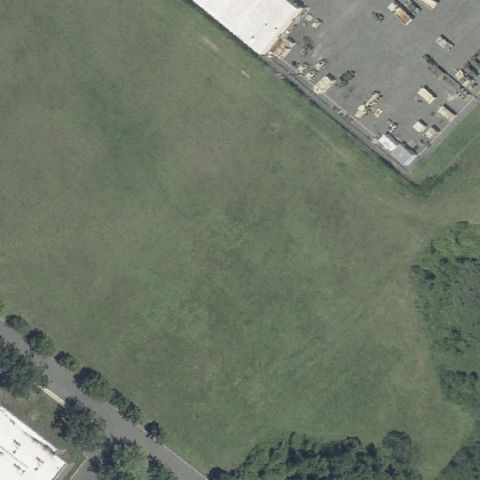
NEWTON, NJ
41.1261777780001, -74.82275
Mowed agricultural field with no pad at center.
 Not visible
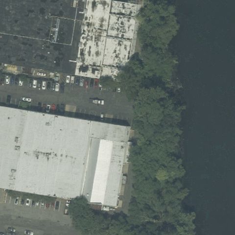
NORTHFIELD, NJ
39.3755555560001, -74.536111111
Open grass field beside parking with no pad at center.
 Not visible
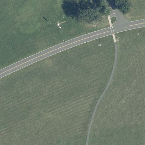
PATERSON, NJ
40.9081444440001, -74.132994444
Industrial buildings and lots with no pad at center.
 Not visible
PRINCETON, NJ
40.346602778, -74.716666667
Open grass field with walking paths and no pad at center.
 Not visible
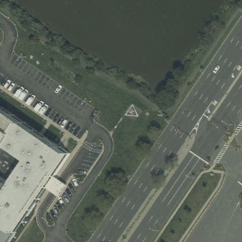
SECAUCUS, NJ
40.791972222, -74.072361111
Center shows grass between parking lot and road with no pad.
 Not visible
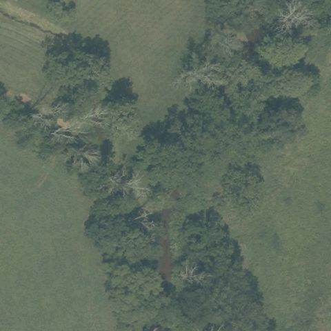
SOMERVILLE, NJ
40.6537127780001, -74.686549444
Center is wooded and open field with no landing area.
 Not visible
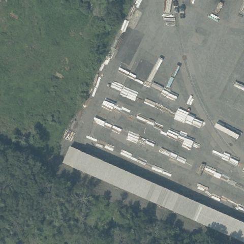
SOMERVILLE, NJ
40.6003725, -74.7193574999999
Center is an industrial loading dock building roof with no pad.
 Not visible
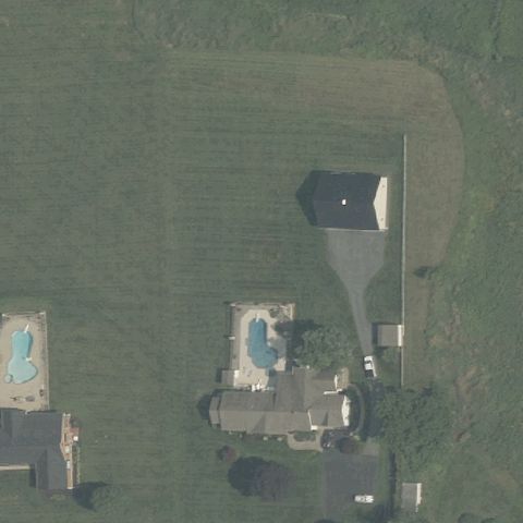
VINCENTOWN, NJ
39.923444444, -74.7569722219999
Center shows residential homes with pools, no helipad.
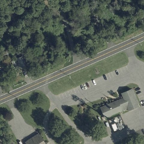 Not visible
WOODGLEN, NJ
40.7176000000001, -74.892112222
Center shows trees, a road and parking with no pad.
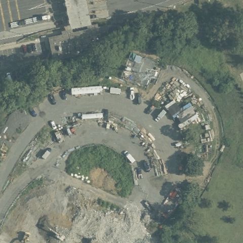 Not visible
NEW BRUNSWICK, NJ
40.477327222, -74.4079280559999
Center is a construction/debris area with no usable pad.
 Not visible
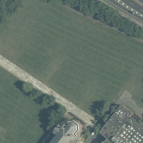
NEW BRUNSWICK, NJ
40.4871944440001, -74.4355555559999
Center is an open grass field with no pad markings.
 Not visible
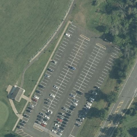
NEW BRUNSWICK, NJ
40.520936944, -74.4745975
Center is a full parking lot with no helipad.
 Not visible
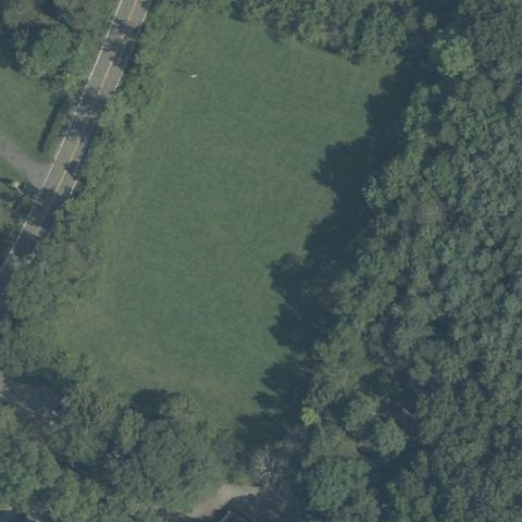
NEWFOUNDLAND, NJ
41.0544722220001, -74.431833333
Center is a grass clearing surrounded by woods, no pad.
 Not visible
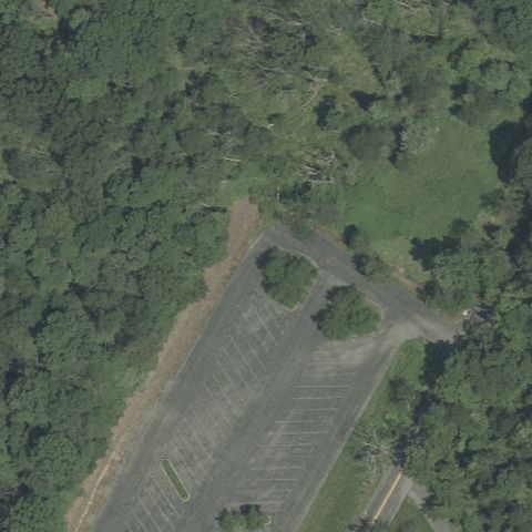
PHILLIPSBURG, NJ
40.7400000000001, -75.090555556
Center is forest with a parking lot, no helipad.
 Not visible
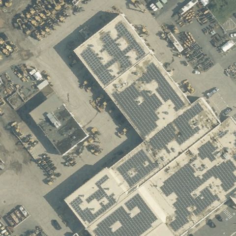
PISCATAWAY, NJ
40.550103333, -74.487653611
Center is an industrial building complex with no pad.
 Not visible
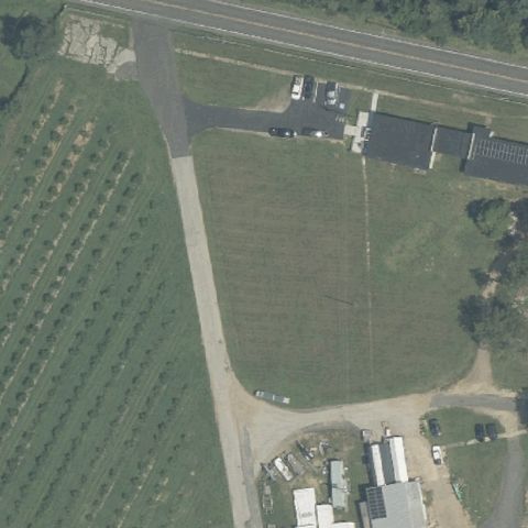
RICHWOOD, NJ
39.7456111110001, -75.1671666669999
Center is a farm field beside an orchard, no pad.
 Not visible
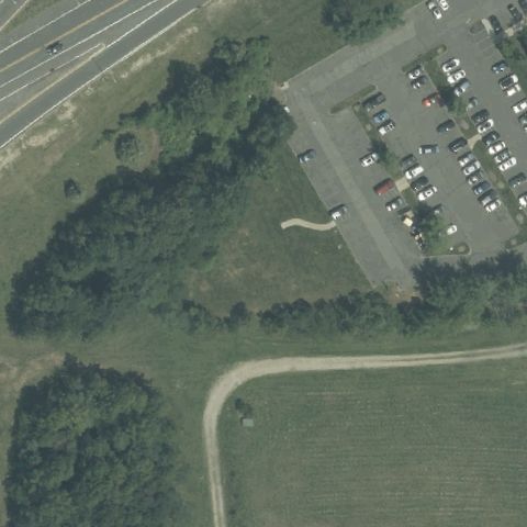
TINTON FALLS, NJ
40.218888889, -74.095
Center is woods next to a parking lot, no pad visible.
 Not visible
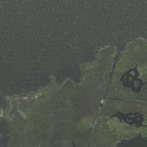
TOMS RIVER, NJ
40.0001175, -74.0801369439999
Center is a salt marsh island in open water, no pad.
 Not visible
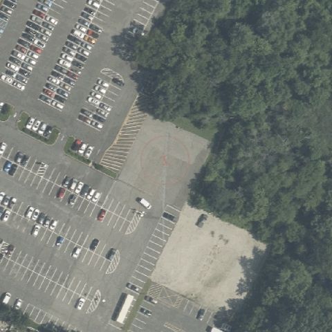
STRATFORD, NJ
39.8277583330001, -75.00625
Center is parking lots and trees with no pad markings.
 Not visible
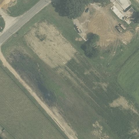
MILLVILLE, NJ
39.4134361110001, -75.008369444
Center is open field and dirt with no visible pad.
 Not visible
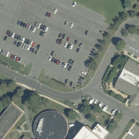
TRENTON, NJ
40.2172694440001, -74.671575
Center is a parking lot with no visible landing pad.
 Not visible
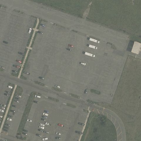
ATLANTIC CITY, NJ
39.379958333, -74.432241667
Center is a large parking lot with no pad markings.
 Not visible
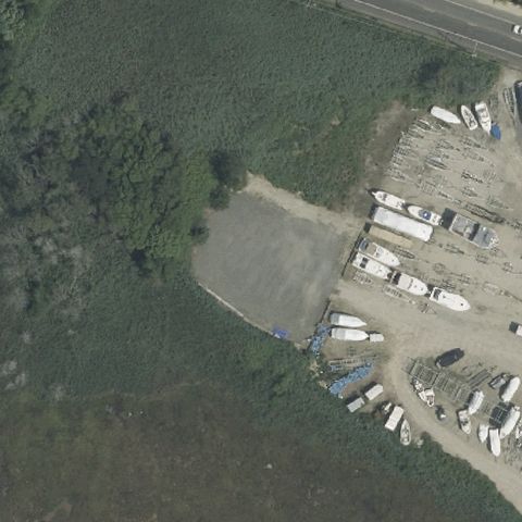
BRICK, NJ
40.040888889, -74.061972222
Center is a dirt lot with boats and no visible pad.
 Not visible
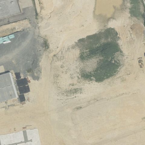
GLOUCESTER TOWNSHIP, NJ
39.791352778, -75.0476138889999
Center is a sandy empty/construction lot with no pad; imagery may predate construction.
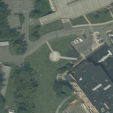 Off-center
FLEMINGTON, NJ
40.531972222, -74.862063889
A round paved circular pad sits near but slightly off center on medical campus grounds.
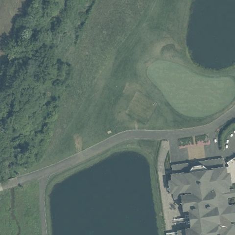 Off-center
COLTS NECK, NJ
40.2766111110001, -74.177
A small pad sits near the clubhouse, off to the side of center.
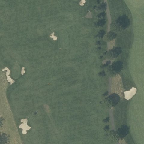 Uncertain
BEDMINSTER, NJ
40.7078888890001, -74.684583333
Golf course fairway and bunkers at center, no distinct pad visible.
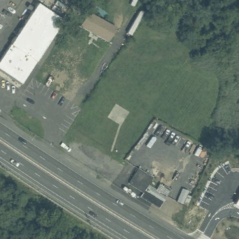 Uncertain
BELFORD, NJ
40.4234555560001, -74.098136111
Open grassy lot beside commercial buildings, no markings or prepared pad.
 Uncertain
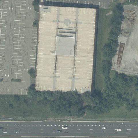
BRIDGEWATER, NJ
40.581944444, -74.610888889
Large commercial rooftop at center with no discernible helipad markings.
 Uncertain
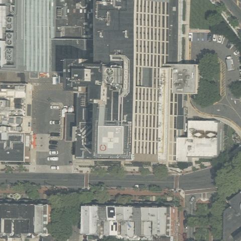
CAMDEN, NJ
39.9411111110001, -75.1163888889999
Dense urban building rooftops at center with no clear pad markings.
 Uncertain
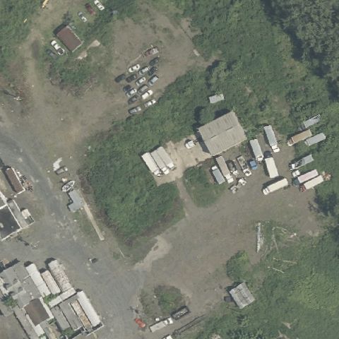
CAMDEN, NJ
39.9634444440001, -75.0950833329999
Industrial yard with buildings and gravel, no visible helipad.
 Uncertain
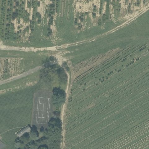
CRANBURY, NJ
40.300108611, -74.5329313889999
Agricultural fields and a tennis court, no helipad at center.
 Uncertain
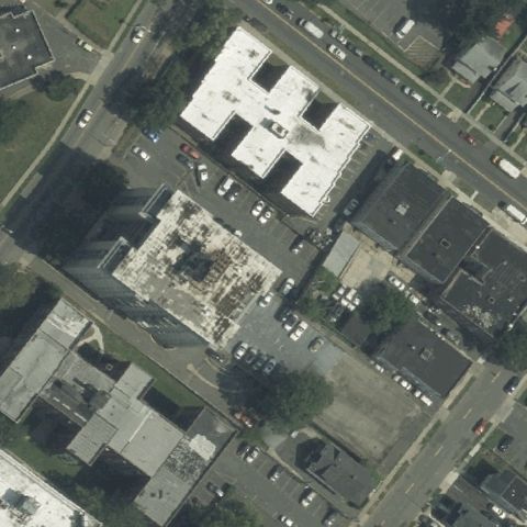
EAST ORANGE, NJ
40.7739894440001, -74.209311944
Urban building rooftops and lots at center with no visible pad.
 Uncertain
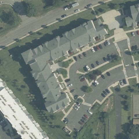
EDISON, NJ
40.524548333, -74.425706944
Residential townhouse complex at center, no helipad visible.
 Uncertain
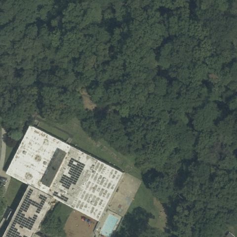
ELIZABETH, NJ
40.6751022220001, -74.245423611
Center is dense forest with a building at edge, no pad visible.
 Uncertain
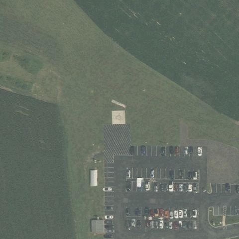
ELMER, NJ
39.5891888890001, -75.181527778
Hospital grounds with parking and field, no clear pad at center.
 Uncertain
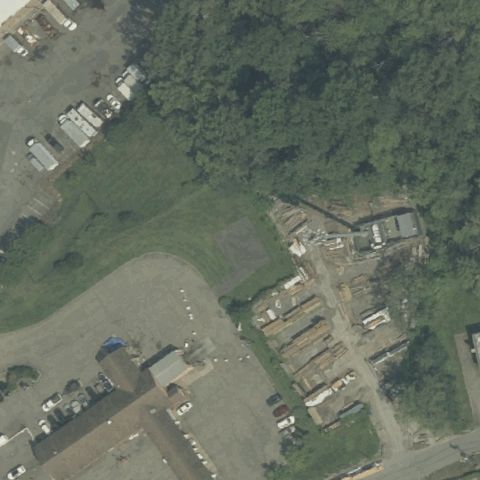
FAIRFIELD, NJ
40.8630000000001, -74.3175555559999
Wooded area and small buildings, no distinct landing pad at center.
 Uncertain
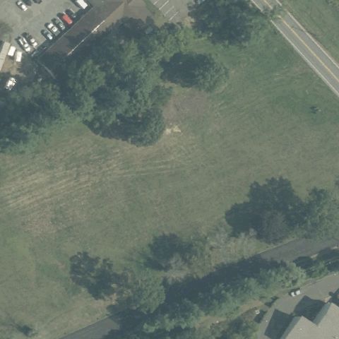
FREEHOLD, NJ
40.279554444, -74.3293141669999
Open grass field with no markings or prepared pad at center.
 Uncertain
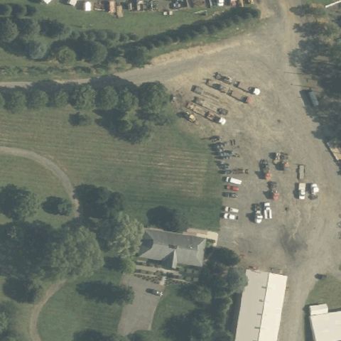
FREEHOLD, NJ
40.221111111, -74.392083333
Faint disturbed grass area near center, no clear pad markings.
 Uncertain
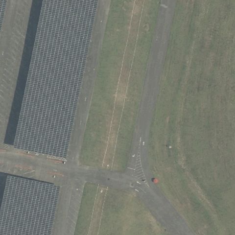
JACKSON, NJ
40.1461547220001, -74.4345949999999
Parking lots and roadways at center, no distinct helipad visible.
 Uncertain
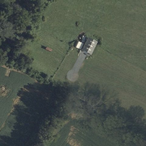
LONG VALLEY, NJ
40.8463, -74.80495
Rural property with farm buildings and driveway, no visible pad.
 Uncertain
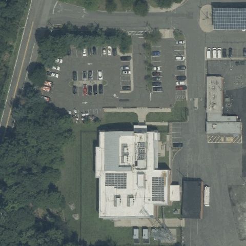
MAHWAH, NJ
41.0567630560001, -74.182645
Academy buildings and parking lots at center, no clear helipad.
 Uncertain
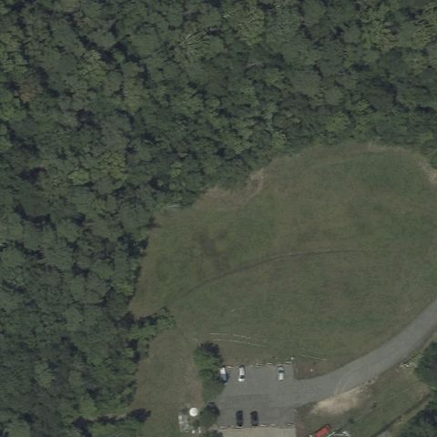
MANAHAWKIN, NJ
39.699166667, -74.234722222
Open grass clearing surrounded by forest, no markings at center.
 Uncertain
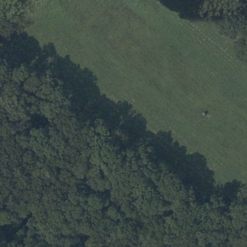
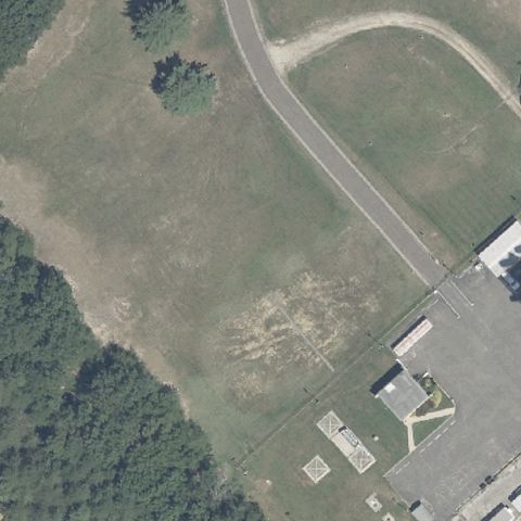
ANDOVER, NJ
40.9878755560001, -74.725163889
Wooded grassy area at center with no discernible pad.
 Uncertain
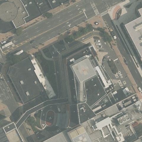
ATCO, NJ
39.7449722220001, -74.914388889
Open field beside a building with faint disturbance, no clear pad.
 Uncertain
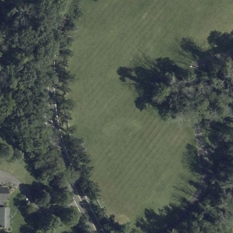
ATLANTIC CITY, NJ
39.358988889, -74.434677778
Dense urban hospital buildings at center, no helipad clearly visible.
 Uncertain
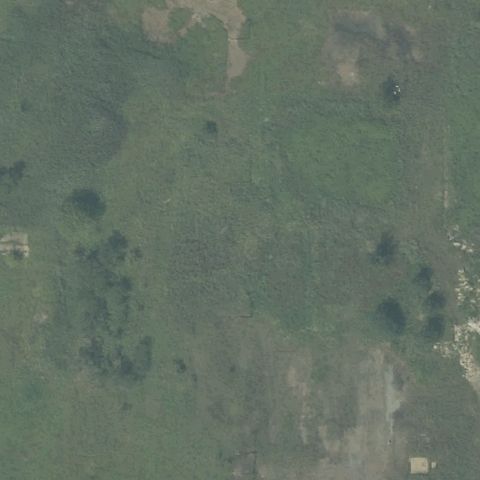
BLAIRSTOWN, NJ
40.9531944440001, -74.9296944439999
Open grass lawn surrounded by trees, no markings or pad at center.
 Uncertain
BOUND BROOK, NJ
40.5564919440001, -74.562378333
Center is brushy open ground with no visible pad or markings.
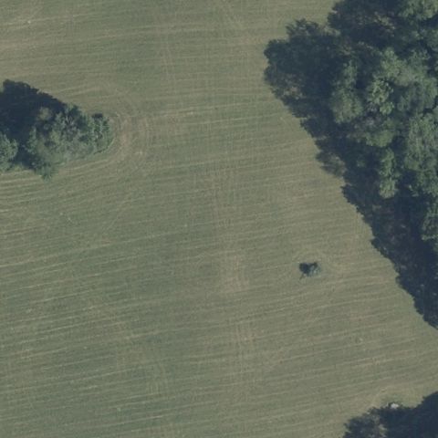 Uncertain
BRANCHVILLE, NJ
41.152472222, -74.7129166669999
Plowed/grass field with tree line, no helipad visible at center.
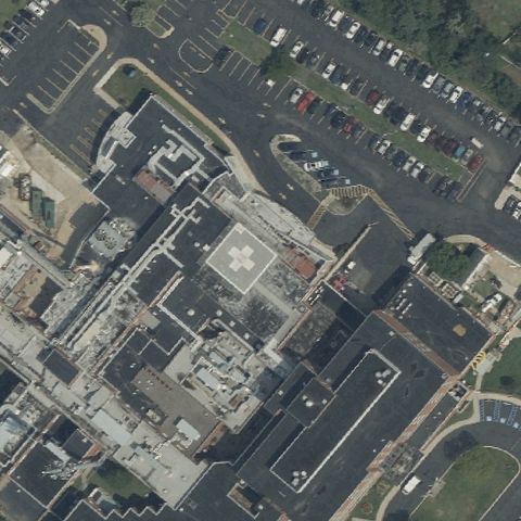 Uncertain
CAPE MAY COURT HOUSE, NJ
39.0877722220001, -74.816697222
Dense medical center rooftops at center but no distinct helipad marking visible.
 Uncertain
FORT LEE, NJ
40.8538611110001, -73.969555556
Urban area with parking lots near the bridge, no distinct pad at center.
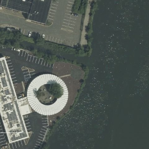 Uncertain
HACKENSACK, NJ
40.875022222, -74.03565
Round structure beside a marina appears to be a gazebo/tank, not a helipad.
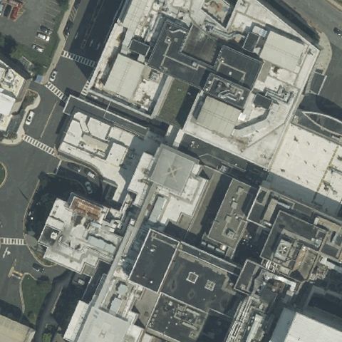 Uncertain
HACKENSACK, NJ
40.8842888890001, -74.0561361109999
Dense hospital rooftops with no clearly marked pad at center.
 Uncertain
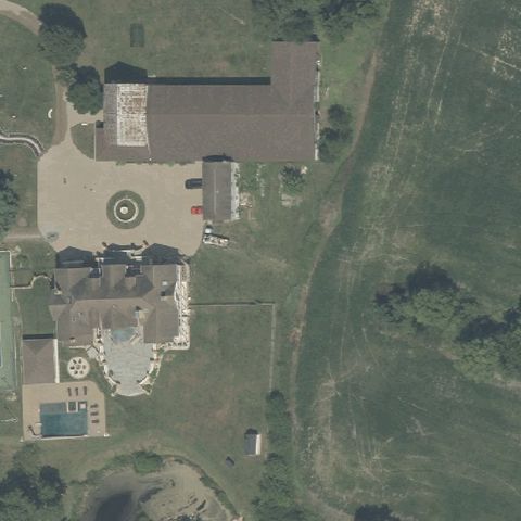
MEDFORD, NJ
39.8913527780001, -74.811305556
Circular feature at an estate appears to be a fountain/landscaping, not a helipad.
 Uncertain
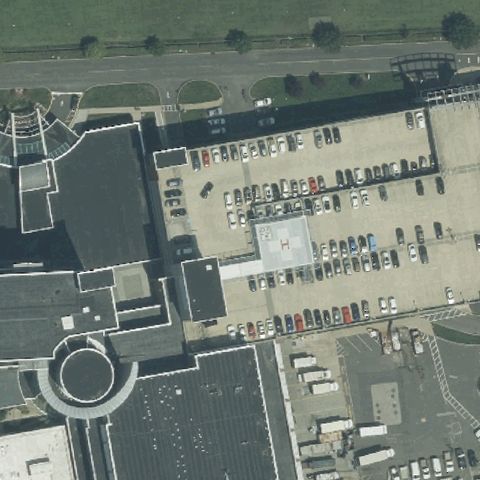
NEPTUNE, NJ
40.2098194440001, -74.0410527779999
Large medical building and parking with no clear pad marking at center.
 Uncertain
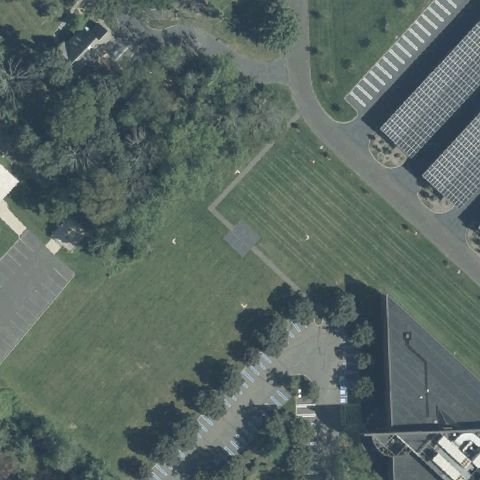
PRINCETON, NJ
40.3221444440001, -74.6473055559999
Center is an open grass field with only faint mowing lines, no pad.
 Uncertain
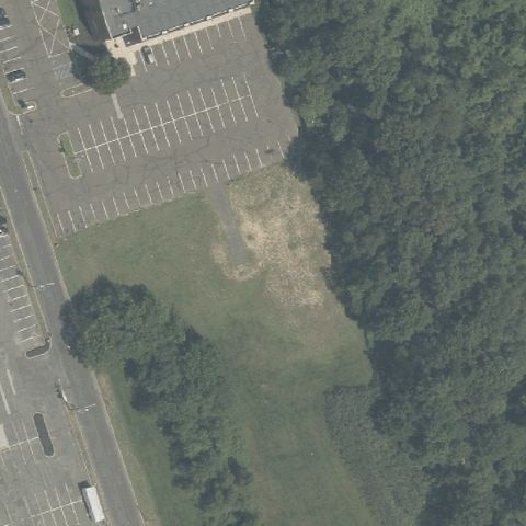
WILLINGBORO, NJ
40.0461388890001, -74.8786111109999
Center shows a bare dirt patch with no clear pad markings.
 Uncertain
NEW BRUNSWICK, NJ
40.517805556, -74.4626111109999
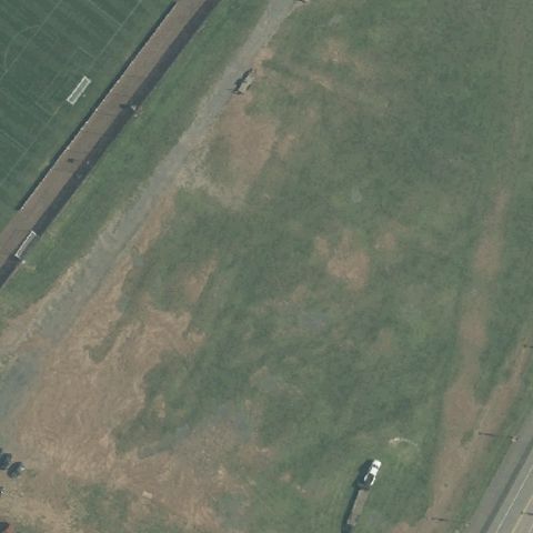
Center is open worn grass field with no clear pad.
 Uncertain
NEW LISBON, NJ
39.8898888890001, -74.581611111
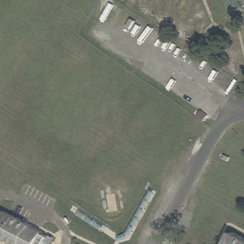
Center is a grass field with parked trailers, no pad.
 Uncertain
RIO GRANDE, NJ
39.0090016670001, -74.888504167
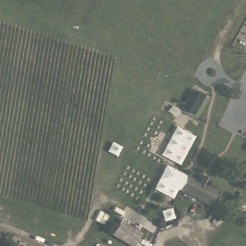
Center shows farm field and outbuildings with no pad.
 Uncertain
RINGOES, NJ
40.44125, -74.8281666669999
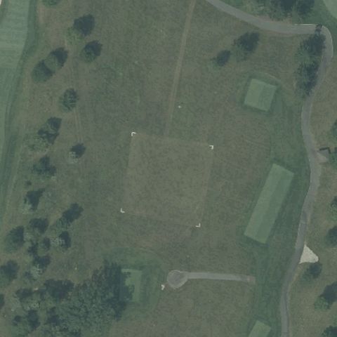
Center is a manicured golf course lawn with no pad.
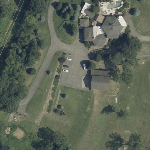 Uncertain
TOWACO, NJ
40.9475, -74.3532499999999
Center shows residential drive and lawn with no pad.
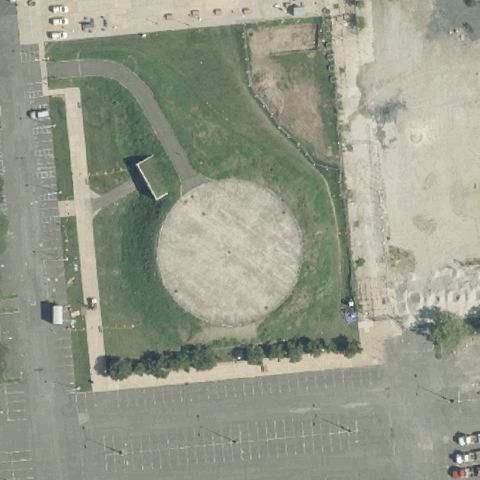 Uncertain
TRENTON, NJ
40.215277778, -74.766111111
Center is a large bare dirt oval with no pad markings.
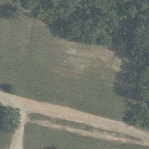 Uncertain
TRENTON, NJ
39.742944444, -74.725055556
Center is grass with dirt paths and no landing pad.
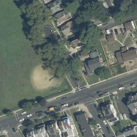 Uncertain
TRENTON, NJ
40.2184422220001, -74.738771667
Center is a worn dirt circle in grass with no clear markings.
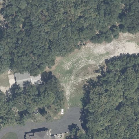 Uncertain
WATERFORD, NJ
39.720661111, -74.8473333329999
Center is a wooded clearing/path with no defined pad.
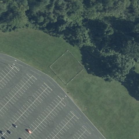 Uncertain
WEST LONG BRANCH, NJ
40.300616667, -74.025683333
Center shows a faint grass square by parking but no clear pad.
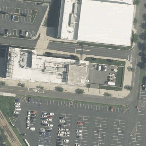 Uncertain
CAMDEN, NJ
39.9419722220001, -75.128261111
Center shows generic building rooftops with no visible landing markings.
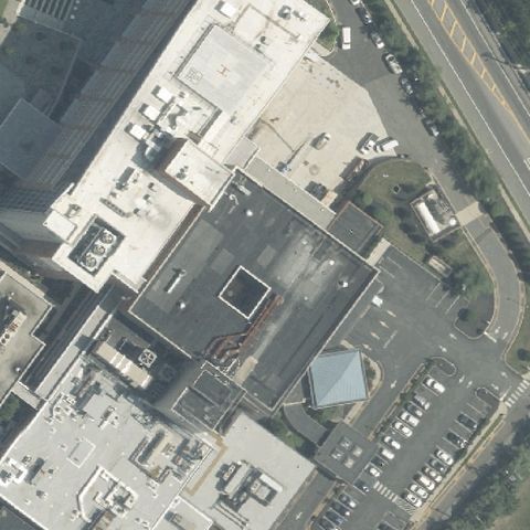 Uncertain
WASHINGTON TWP, NJ
39.7355388890001, -75.0652111109999
Center shows building rooftops with no clear marked landing pad.
 Uncertain
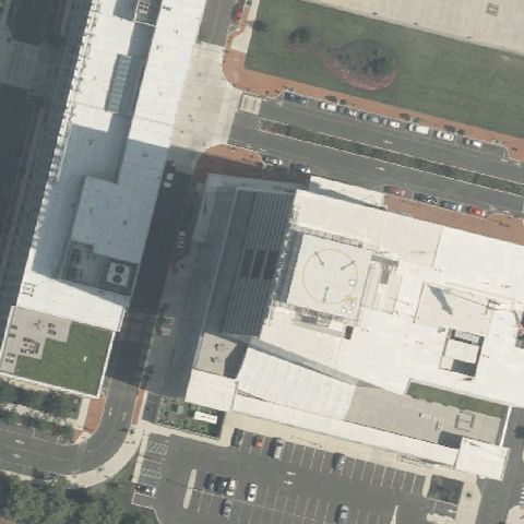
CAMDEN, NJ
39.948422222, -75.1303055559999
Center shows building rooftops and parking with no visible pad markings.
 Uncertain
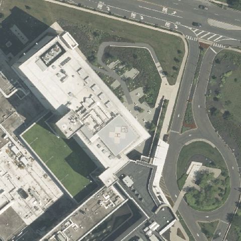
CHERRY HILL, NJ
39.9280555560001, -75.015277778
A square rooftop shape is centered but shows no clear landing markings.
 Uncertain
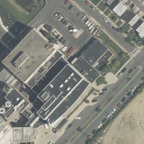
CAMDEN, NJ
39.928208333, -75.094336111
Center shows hospital rooftops and parking with no clear pad markings.
 Uncertain
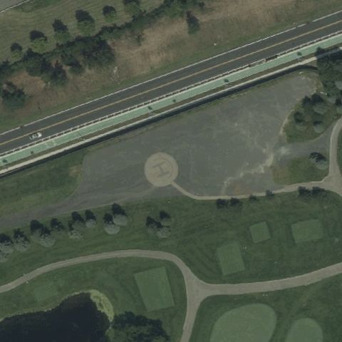
JERSEY CITY, NJ
40.6981944440001, -74.072416667
Center is golf-course grass with a faint cleared area but no clear pad marking.
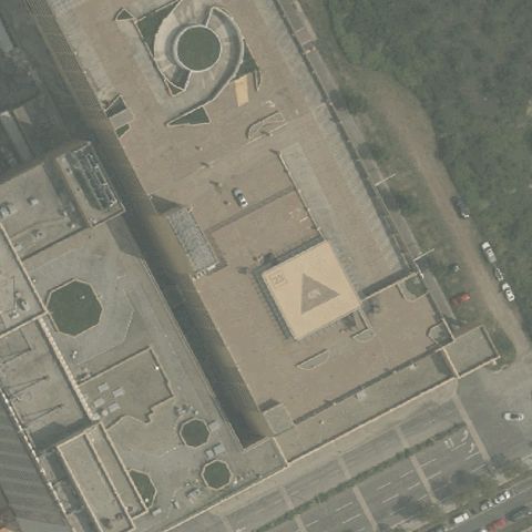 Confirmed
ATLANTIC CITY, NJ
39.379972222, -74.4268333329999
Triangular rooftop pad with H marking centered on the casino building.
✓ Confirmed by AI vision with Claude Opus 4.8
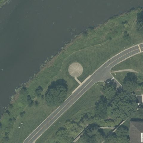 Confirmed
BASKING RIDGE, NJ
40.727333333, -74.535611111
Light circular cleared landing area centered in the grassy field.
✓ Confirmed by AI vision with Claude Opus 4.8
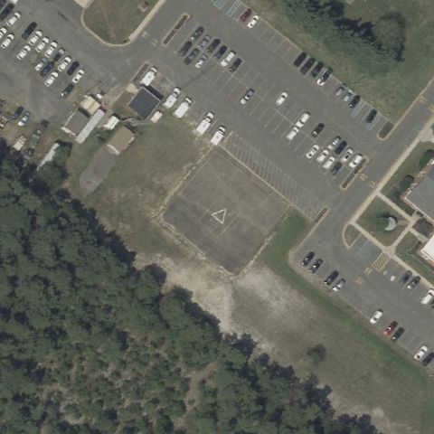 Confirmed
BAYVILLE, NJ
39.9047444440001, -74.2339638889999
Faint circular outline in the field beside the police parking lot.
✓ Confirmed by AI vision with Claude Opus 4.8
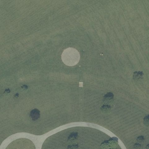 Confirmed
BEDMINSTER, NJ
40.6729205560001, -74.693418056
Circular grass landing area centered in the open field.
✓ Confirmed by AI vision with Claude Opus 4.8
 Confirmed
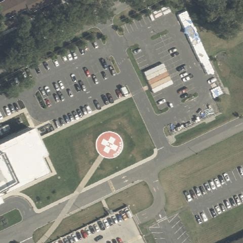
BROWNS MILLS, NJ
39.978725556, -74.5840441669999
Clear red-bordered circular pad with white H centered at the medical center.
✓ Confirmed by AI vision with Claude Opus 4.8
 Confirmed
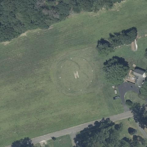
BUENA, NJ
39.492583333, -74.882138889
Faint circular grass pad with marking centered in the field.
✓ Confirmed by AI vision with Claude Opus 4.8
 Confirmed
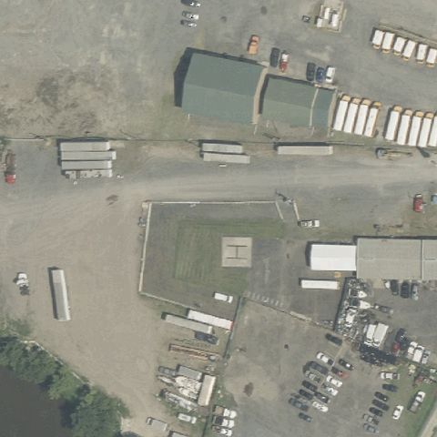
CAMDEN, NJ
39.946388889, -75.103888889
Faint reddish square pad outline in the industrial yard near center.
✓ Confirmed by AI vision with Claude Opus 4.8
 Confirmed
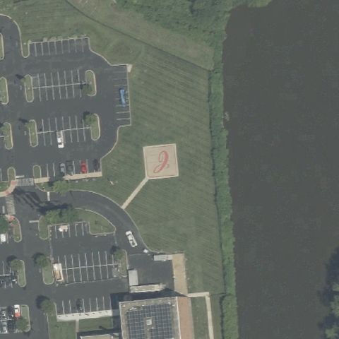
CAMDEN, NJ
39.940444444, -75.106638889
Tan square prepared pad on grass between parking and pond near center.
✓ Confirmed by AI vision with Claude Opus 4.8
 Confirmed
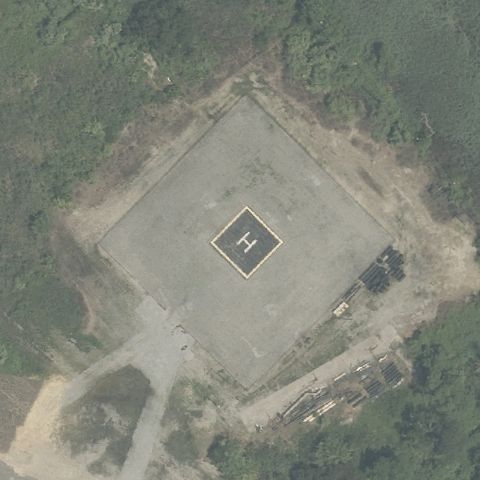
DEEPWATER, NJ
39.6974472220001, -75.4953166669999
Large square concrete pad with painted H centered in clearing.
✓ Confirmed by AI vision with Claude Opus 4.8
 Confirmed
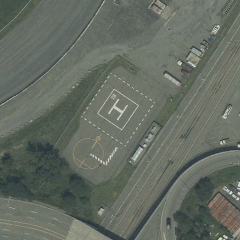
EAST RUTHERFORD, NJ
40.815722222, -74.070166667
Clearly marked square pad with large white H centered near the sports complex.
✓ Confirmed by AI vision with Claude Opus 4.8
 Confirmed
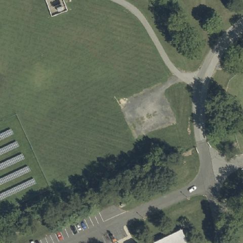
FRANKLIN, NJ
40.740972222, -75.0214999999999
Bare graded square clearing near center suggesting a prepared pad.
✓ Confirmed by AI vision with Claude Opus 4.8
 Confirmed
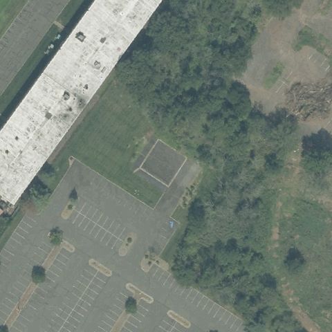
FRANKLIN TOWNSHIP, NJ
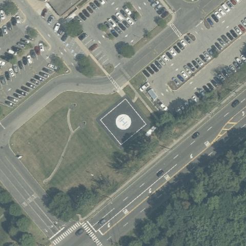
40.538694444, -74.526833333
Faint square outline on grass beside the building near center.
✓ Confirmed by AI vision with Claude Opus 4.8
 Confirmed
FREEHOLD, NJ
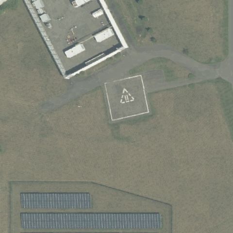
40.2367722220001, -74.310975
Circular pad with H on raised concrete platform centered at medical center.
✓ Confirmed by AI vision with Claude Opus 4.8
 Confirmed
FREEHOLD TOWNSHIP, NJ
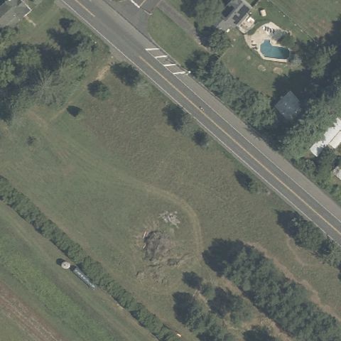
40.2380555560001, -74.3186111109999
Square concrete pad with central marking centered beside the building.
✓ Confirmed by AI vision with Claude Opus 4.8
 Confirmed
HOLMANSVILLE, NJ
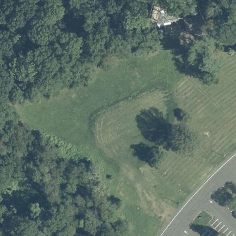
40.098722222, -74.3153055559999
Faint circular cleared area on grass near center beside the road.
✓ Confirmed by AI vision with Claude Opus 4.8
 Confirmed
HOLMDEL, NJ
40.3942750000001, -74.179309722
Faint oval cleared grass area near center in the field.
✓ Confirmed by AI vision with Claude Opus 4.8
 Confirmed
HOPEWELL, NJ
40.391138889, -74.7787499999999
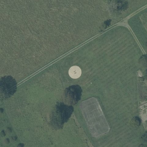
Light circular landing area centered in the open grass field.
✓ Confirmed by AI vision with Claude Opus 4.8
 Confirmed
JAMESBURG, NJ
40.3178611110001, -74.489611111
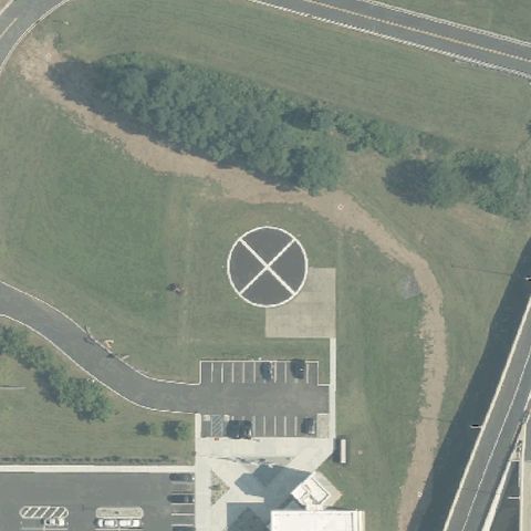
White-bordered circle with X marking centered in the grass area.
✓ Confirmed by AI vision with Claude Opus 4.8
 Confirmed
LEESBURG, NJ
39.2413888890001, -74.951388889
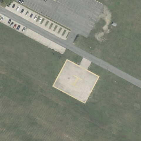
Square prepared pad outline centered on grass near the prison building.
✓ Confirmed by AI vision with Claude Opus 4.8
 Confirmed
LIVINGSTON, NJ
40.7626005560001, -74.304037222
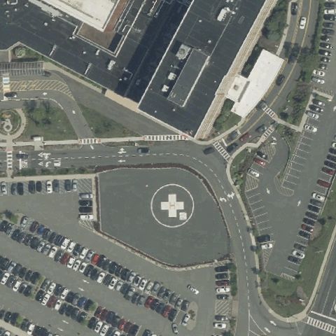
Circular pad with white H centered amid the medical center parking.
✓ Confirmed by AI vision with Claude Opus 4.8
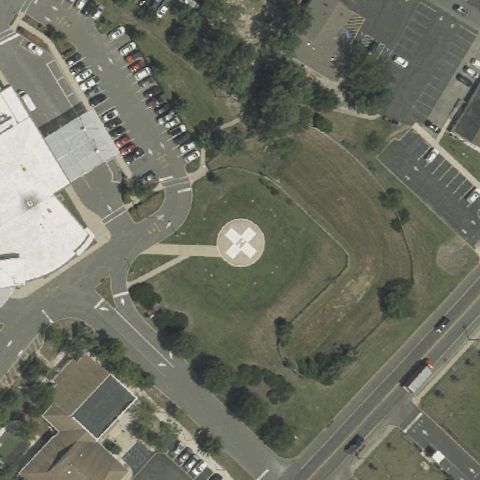 Confirmed
MANAHAWKIN, NJ
39.720888889, -74.283097222
Circular pad with H on a raised platform centered near the medical center.
✓ Confirmed by AI vision with Claude Opus 4.8
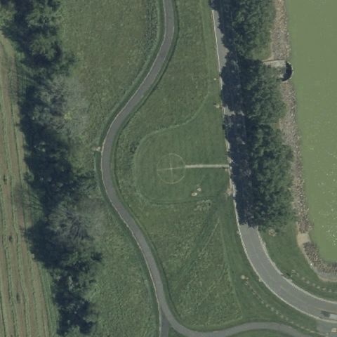 Confirmed
ANNANDALE, NJ
40.636833333, -74.8691111109999
Faint square pad outline on grass near center beside the road.
✓ Confirmed by AI vision with Claude Opus 4.8
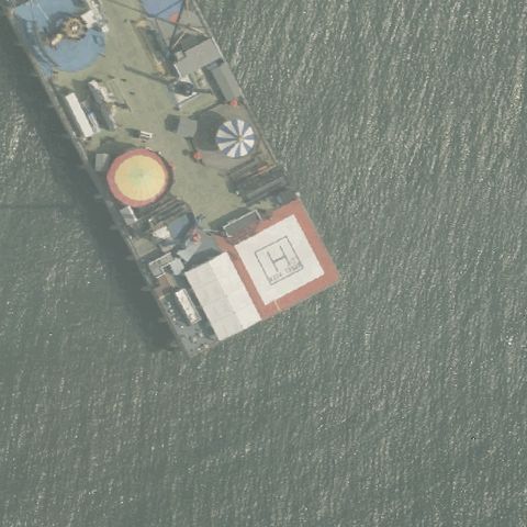 Confirmed
ATLANTIC CITY, NJ
39.3564138890001, -74.418175
Red square pad with marking on a vessel/pier structure near center.
✓ Confirmed by AI vision with Claude Opus 4.8
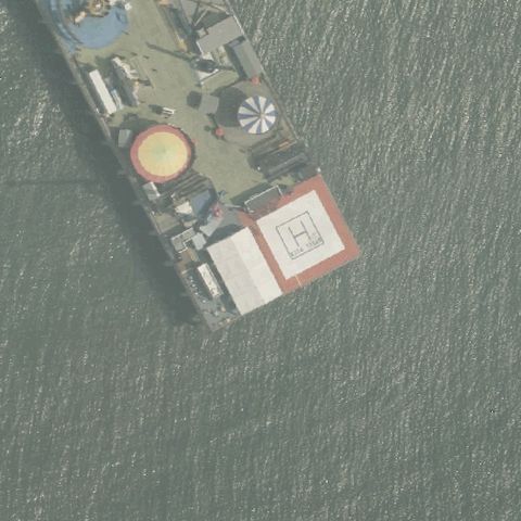 Confirmed
ATLANTIC CITY, NJ
39.3563611110001, -74.4182499999999
Red square pad with white H on a vessel structure centered in the image.
✓ Confirmed by AI vision with Claude Opus 4.8
 Confirmed
BLOOMFIELD, NJ
40.838147222, -74.178591667
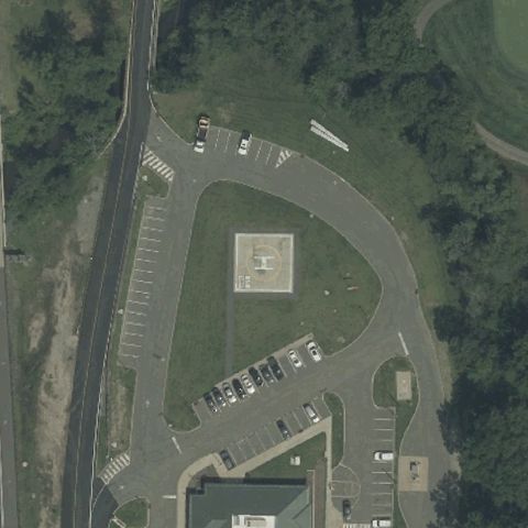
Square prepared pad on grass centered within the facility grounds.
✓ Confirmed by AI vision with Claude Opus 4.8
 Confirmed
BRIDGETON, NJ
39.4365527780001, -75.2211444439999
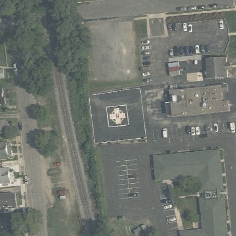
Square concrete pad with H marking centered near the health center.
✓ Confirmed by AI vision with Claude Opus 4.8
 Confirmed
FLORHAM PARK, NJ
40.7933305560001, -74.3802777779999
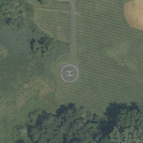
Faint circular marker with an H at center of a clearing.
✓ Confirmed by AI vision with Claude Opus 4.8
 Confirmed
FORT MONMOUTH, NJ
40.3169777780001, -74.038158333
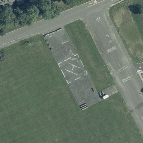
Large paved apron with painted markings consistent with a helipad at center.
✓ Confirmed by AI vision with Claude Opus 4.8
 Confirmed
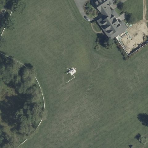
GREAT MEADOWS, NJ
40.928138889, -74.843944444
A helicopter is parked on the grass landing area at center, no painted markings.
✓ Confirmed by AI vision with Claude Opus 4.8
 Confirmed
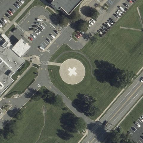
HACKETTSTOWN, NJ
40.8616777780001, -74.8146555559999
Clear circular pad with an H marking at center on hospital grounds.
✓ Confirmed by AI vision with Claude Opus 4.8
 Confirmed
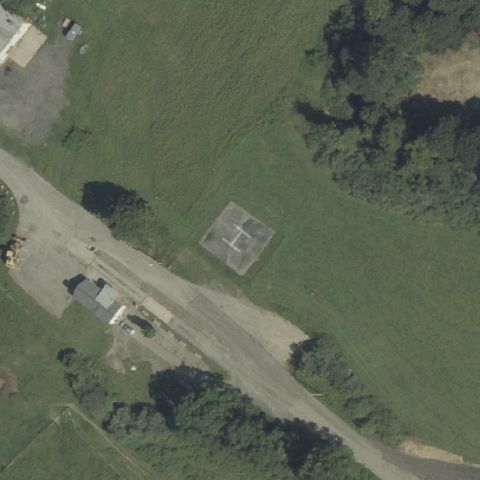
HACKETTSTOWN/GREAT MEADOWS, NJ
40.8656111110001, -74.9173611109999
Faint square prepared pad at center of an open lot near a quarry.
✓ Confirmed by AI vision with Claude Opus 4.8
 Confirmed
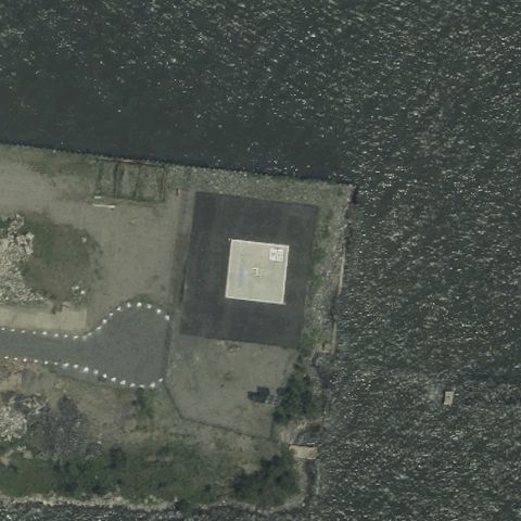
JERSEY CITY, NJ
40.724444444, -74.029722222
Distinct square prepared landing pad at center on a cleared lot.
✓ Confirmed by AI vision with Claude Opus 4.8
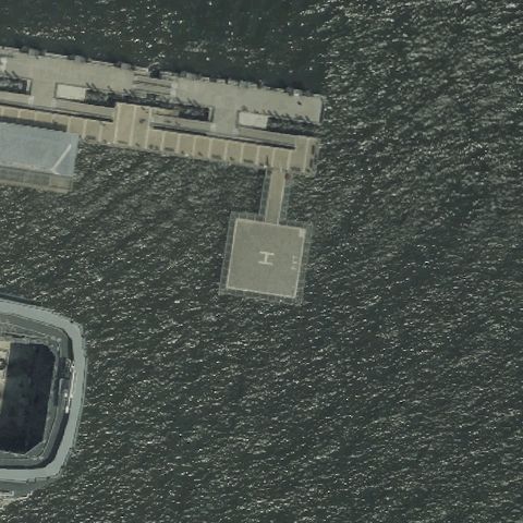 Confirmed
JERSEY CITY, NJ
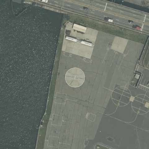
40.713397222, -74.032022222
Square pad on a pier deck over water at center.
✓ Confirmed by AI vision with Claude Opus 4.8
 Confirmed
KEARNY, NJ
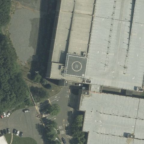
40.731527778, -74.1166388889999
Circular pad marking on a large paved waterfront apron at center.
✓ Confirmed by AI vision with Claude Opus 4.8
 Confirmed
KENILWORTH, NJ
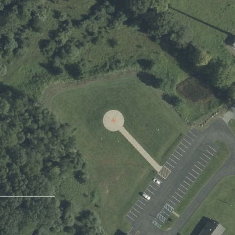
40.674622222, -74.278186111
Marked rooftop pad with circle at center of the building complex.
✓ Confirmed by AI vision with Claude Opus 4.8
 Confirmed
MONTAGUE, NJ
41.3125833330001, -74.7650277779999
Round pad with an access path on grass at center.
✓ Confirmed by AI vision with Claude Opus 4.8
 Confirmed
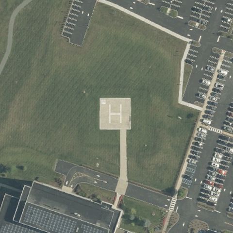
MORRIS PLAINS, NJ
40.8370833330001, -74.476694444
Clear white square pad with an H marking at center on open grounds.
✓ Confirmed by AI vision with Claude Opus 4.8
 Confirmed
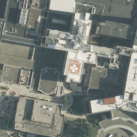
MORRISTOWN, NJ
40.789366667, -74.465819444
Marked rooftop pad at center of the hospital building.
✓ Confirmed by AI vision with Claude Opus 4.8
 Confirmed
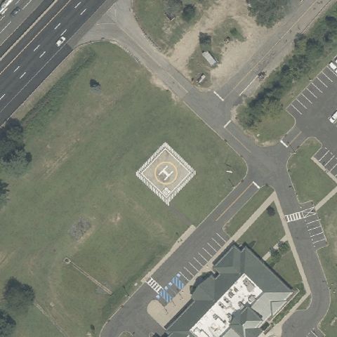
MOUNT LAUREL, NJ
39.956111111, -74.919694444
Square pad with an H marking on grass at center near the building.
✓ Confirmed by AI vision with Claude Opus 4.8
 Confirmed
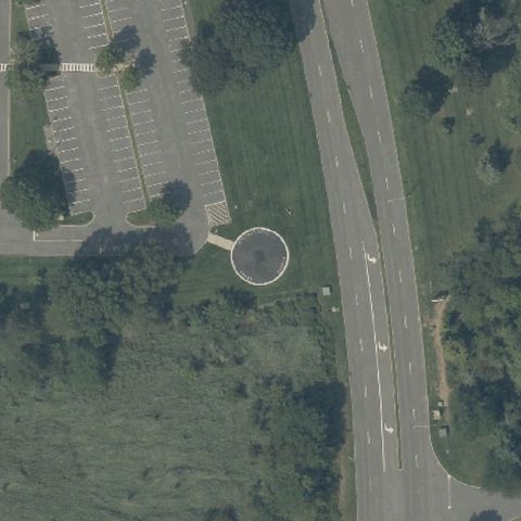
MOUNT OLIVE, NJ
40.896466667, -74.719313889
Round pad with access path on grass at center near a road.
✓ Confirmed by AI vision with Claude Opus 4.8
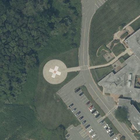 Confirmed
NEWTON, NJ
41.0572222220001, -74.77
Circular pad with marking and access path at center on hospital grounds.
✓ Confirmed by AI vision with Claude Opus 4.8
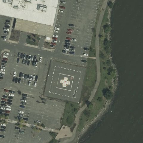 Confirmed
NORTH BERGEN, NJ
40.793758333, -73.994797222
Square pad with an H marking at center in a paved lot by the water.
✓ Confirmed by AI vision with Claude Opus 4.8
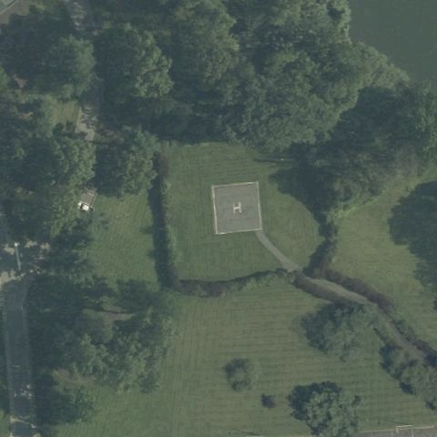 Confirmed
PARSIPPANY-TROY HILLS, NJ
40.8705, -74.443305556
Square pad with an H marking on grass at center.
✓ Confirmed by AI vision with Claude Opus 4.8
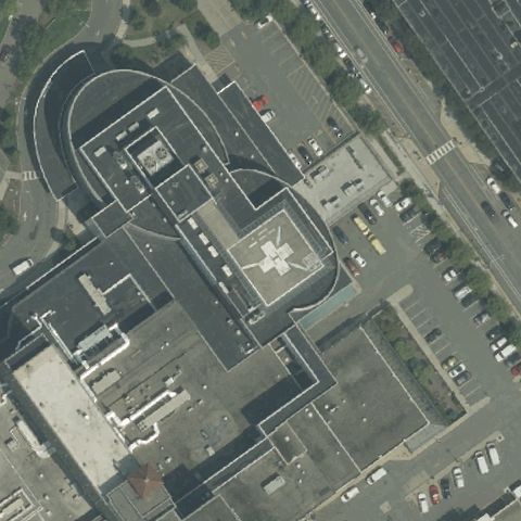 Confirmed
PATERSON, NJ
40.903505556, -74.1654722219999
Marked pad with an H on the hospital structure at center.
✓ Confirmed by AI vision with Claude Opus 4.8
 Confirmed
PLUCKEMIN, NJ
40.6406388890001, -74.663888889
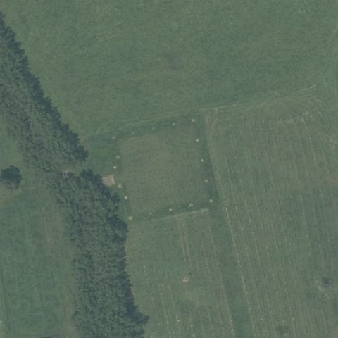
Faint square pad outline on an open field at center.
✓ Confirmed by AI vision with Claude Opus 4.8
 Confirmed
POMONA, NJ
39.4796166670001, -74.539238889
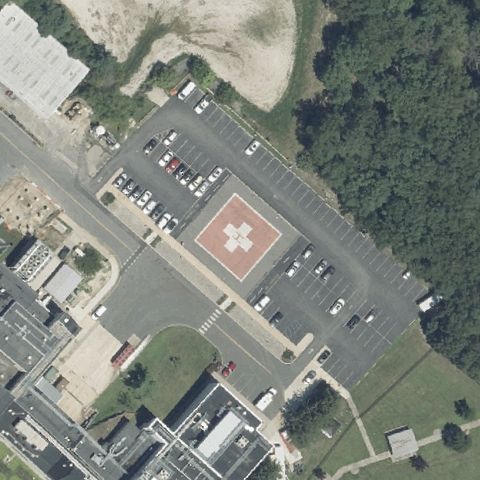
Square pad with an H marking in a paved lot at center.
✓ Confirmed by AI vision with Claude Opus 4.8
 Confirmed
PRINCETON, NJ
40.371, -74.585777778
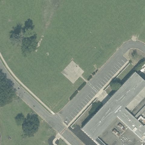
A faint paved square pad sits just left of center on the lawn.
✓ Confirmed by AI vision with Claude Opus 4.8
 Confirmed
PRINCETON, NJ
40.330555556, -74.6277777779999
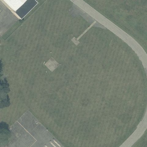
A faded square pad outline is visible on the grass near the center.
✓ Confirmed by AI vision with Claude Opus 4.8
 Confirmed
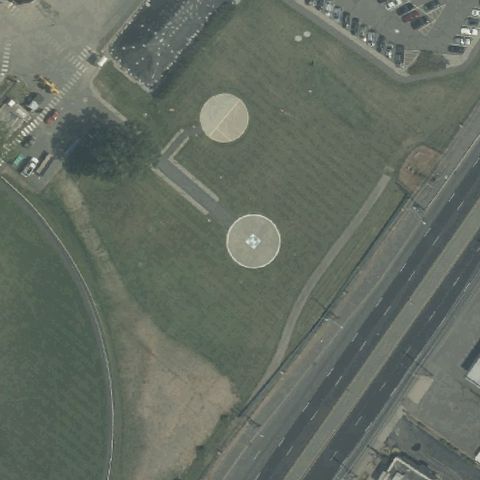
RAHWAY, NJ
40.60925, -74.2600555559999
Two distinct circular touchdown markers are centered on the lawn.
✓ Confirmed by AI vision with Claude Opus 4.8
 Confirmed
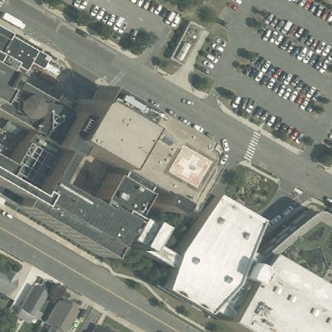
SOMERS POINT, NJ
39.3145666670001, -74.593125
A faint marked square pad sits on the building roof near center.
✓ Confirmed by AI vision with Claude Opus 4.8
 Confirmed
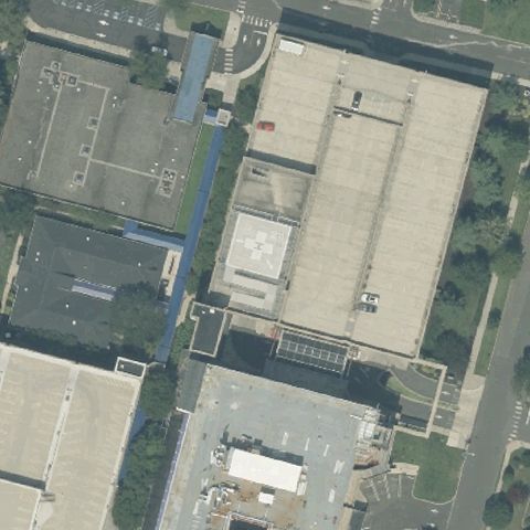
SOMERVILLE, NJ
40.568888889, -74.5945
A marked rooftop pad with an H is centered on the medical building.
✓ Confirmed by AI vision with Claude Opus 4.8
 Confirmed
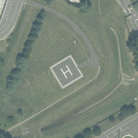
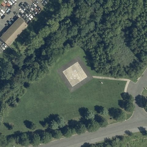
SOUTH BRUNSWICK, NJ
40.372811111, -74.517375
A clearly painted H within a bordered square sits at center.
✓ Confirmed by AI vision with Claude Opus 4.8
 Confirmed
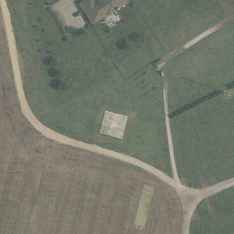
TRENTON, NJ
40.201388889, -74.648833333
A prepared square pad is centered in the open lawn area.
✓ Confirmed by AI vision with Claude Opus 4.8
 Confirmed
VINELAND, NJ
39.453333333, -75.1252777779999
A faint light-colored square pad sits near center in the field.
✓ Confirmed by AI vision with Claude Opus 4.8
 Confirmed
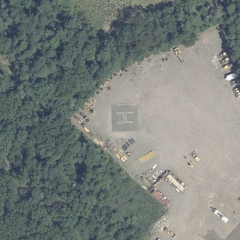
VOORHEES, NJ
39.846919444, -74.927
A marked square pad with H is centered beside the parking lot.
✓ Confirmed by AI vision with Claude Opus 4.8
 Confirmed
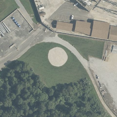
WINSLOW, NJ
39.738444444, -74.910555556
A painted H pad is centered on the cleared gravel yard.
✓ Confirmed by AI vision with Claude Opus 4.8
 Confirmed
WINSLOW TOWNSHIP, NJ
39.7399722220001, -74.964111111
A circular prepared landing pad is centered in the clearing.
✓ Confirmed by AI vision with Claude Opus 4.8
 Confirmed
NEWARK, NJ
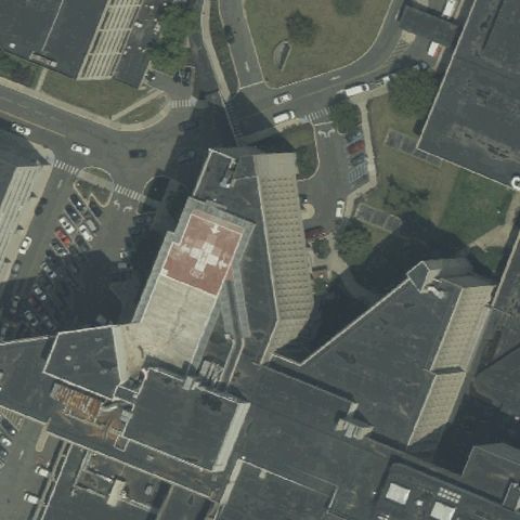
40.7408472220001, -74.190841667
A red rooftop pad is centered on the hospital building.
✓ Confirmed by AI vision with Claude Opus 4.8
 Confirmed
NEW BRUNSWICK, NJ
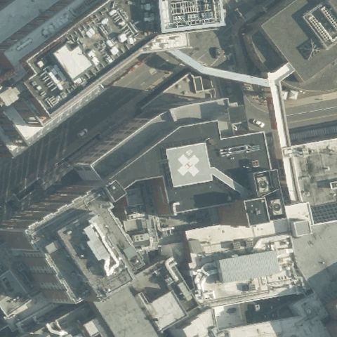
40.4957944440001, -74.449886111
A marked H rooftop pad is centered on the hospital.
✓ Confirmed by AI vision with Claude Opus 4.8
 Confirmed
NEW BRUNSWICK, NJ
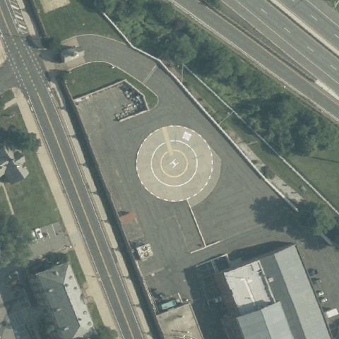
40.5018371940001, -74.445735
A large circular pad with concentric markings is centered.
✓ Confirmed by AI vision with Claude Opus 4.8
 Confirmed
PHILLIPSBURG, NJ
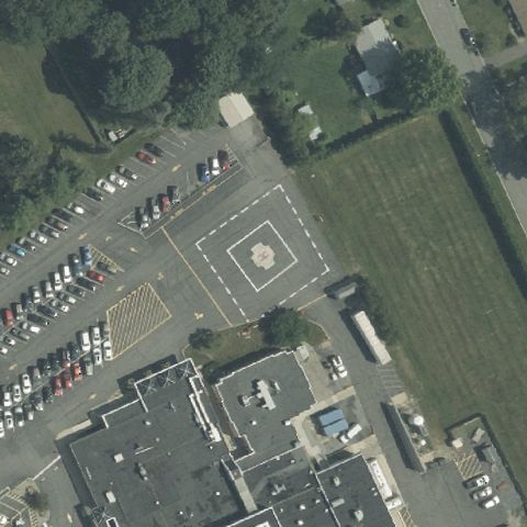
40.703027778, -75.178166667
A square pad with circular marking is centered by the lot.
✓ Confirmed by AI vision with Claude Opus 4.8
 Confirmed
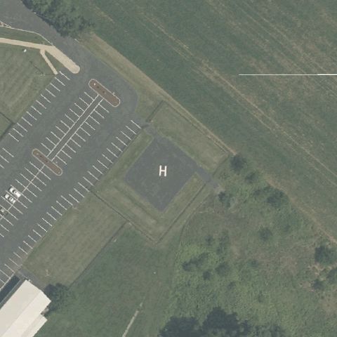
SALEM, NJ
39.5617500000001, -75.47925
A painted H pad is centered beside the parking lot.
✓ Confirmed by AI vision with Claude Opus 4.8
 Confirmed
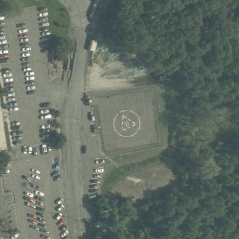
SAYREVILLE, NJ
40.4811111110001, -74.319833333
A circular marked pad is centered on the cleared ground.
✓ Confirmed by AI vision with Claude Opus 4.8
 Confirmed
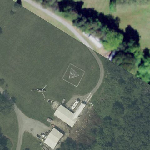
SUSSEX, NJ
41.29125, -74.550694444
A marked pad with a parked helicopter sits near center.
✓ Confirmed by AI vision with Claude Opus 4.8
 Confirmed
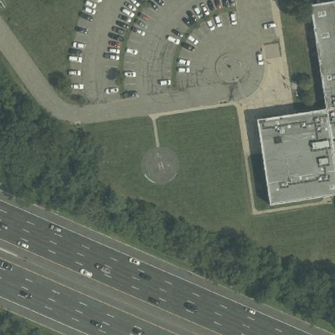
TOTOWA, NJ
40.8990277780001, -74.22925
A faint circular pad outline sits on the grass at center.
✓ Confirmed by AI vision with Claude Opus 4.8
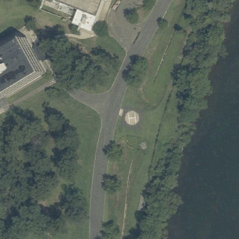 Confirmed
WAYNE, NJ
40.9811111110001, -74.2530555559999
A circular prepared pad is centered in the landscaped lawn.
✓ Confirmed by AI vision with Claude Opus 4.8
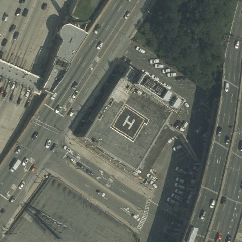 Confirmed
WEEHAWKEN, NJ
40.764638889, -74.0226111109999
A marked H rooftop pad is centered on the building.
✓ Confirmed by AI vision with Claude Opus 4.8
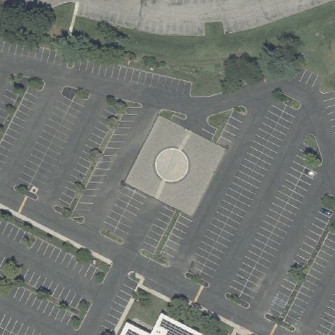 Confirmed
EVESHAM, NJ
39.899777778, -74.935472222
A square pad with a circular marker is centered in the parking lot.
✓ Confirmed by AI vision with Claude Opus 4.8
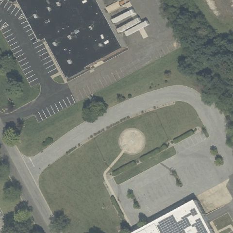 Confirmed
MARLTON, NJ
39.913666667, -74.928972222
A circular pad is centered in the landscaped island.
✓ Confirmed by AI vision with Claude Opus 4.8
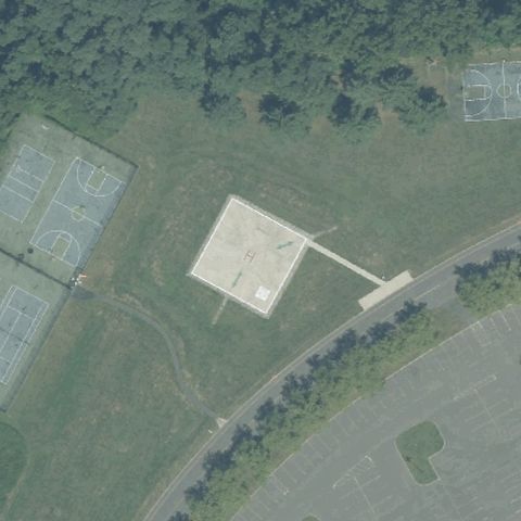 Confirmed
HOLMDEL, NJ
40.349527778, -74.1905833329999
Large prepared square pad with a structure sits at the image center.
✓ Confirmed by AI vision with Claude Opus 4.8
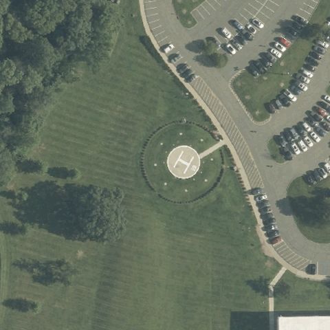 Confirmed
PARSIPPANNY, NJ
40.8445978330001, -74.461376
Circular pad with a painted H sits centered in a landscaped roundabout.
✓ Confirmed by AI vision with Claude Opus 4.8
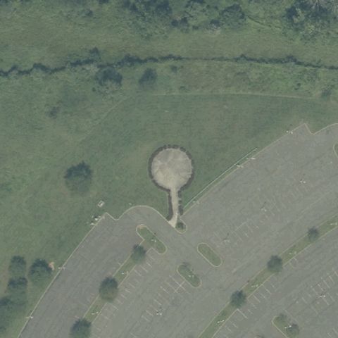 Confirmed
BERNARDS TOWNSHIP, NJ
40.6725277780001, -74.6358888889999
A distinct circular prepared pad is centered in an open field.
✓ Confirmed by AI vision with Claude Opus 4.8
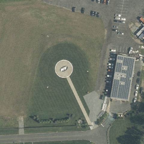 Confirmed
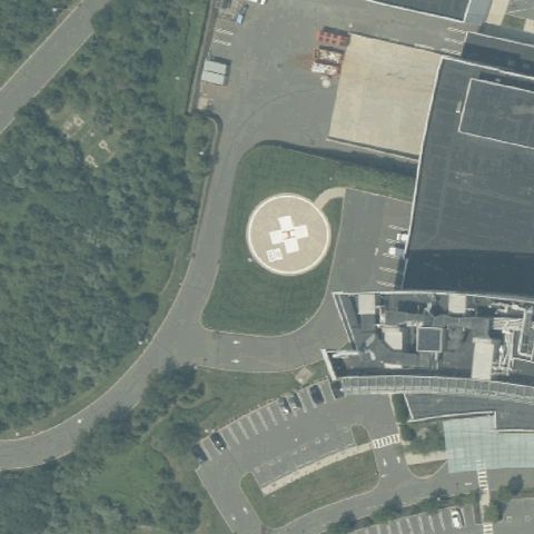
FLORHAM PARK, NJ
40.780555556, -74.4175
Large circular pad with a center marking sits in the field at image center.
✓ Confirmed by AI vision with Claude Opus 4.8
 Confirmed
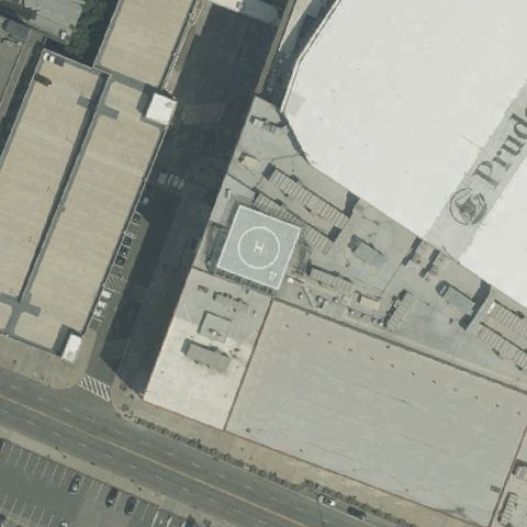
PRINCETON, NJ
40.340136111, -74.6256083329999
Circular ground pad with a painted H is centered near the medical buildings.
✓ Confirmed by AI vision with Claude Opus 4.8
 Confirmed
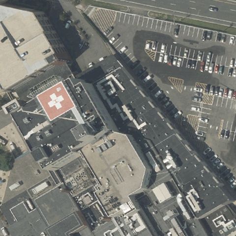
NEWARK, NJ
40.733244444, -74.171947222
A marked rooftop pad sits at the center of the arena complex.
✓ Confirmed by AI vision with Claude Opus 4.8
 Confirmed
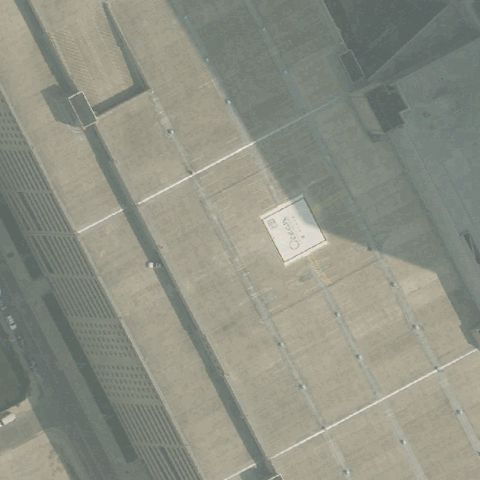
TOMS RIVER, NJ
39.9646111110001, -74.215888889
A red rooftop pad with an H marking sits at the image center.
✓ Confirmed by AI vision with Claude Opus 4.8
 Confirmed
ATLANTIC CITY, NJ
39.3622972220001, -74.416138889
A faint marked pad is visible on the large flat surface at center.
✓ Confirmed by AI vision with Claude Opus 4.8
 Confirmed
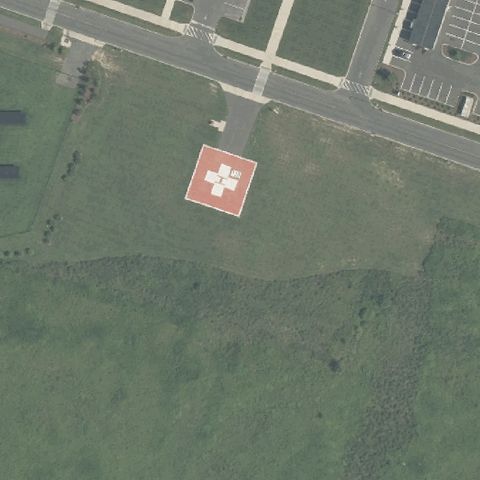
MULLICA HILL, NJ
39.713888889, -75.151388889
A red square pad with an H/cross marking sits centered near the hospital.
✓ Confirmed by AI vision with Claude Opus 4.8
 Confirmed
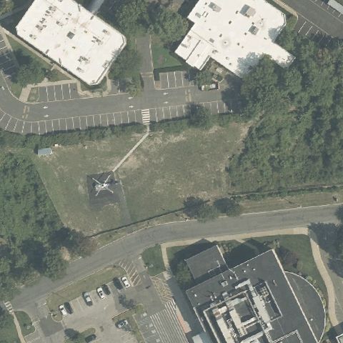
BRICK, NJ
40.078248, -74.1318449999999
A dark painted H is visible on the ground near the image center.
✓ Confirmed by AI vision with Claude Opus 4.8
 Confirmed
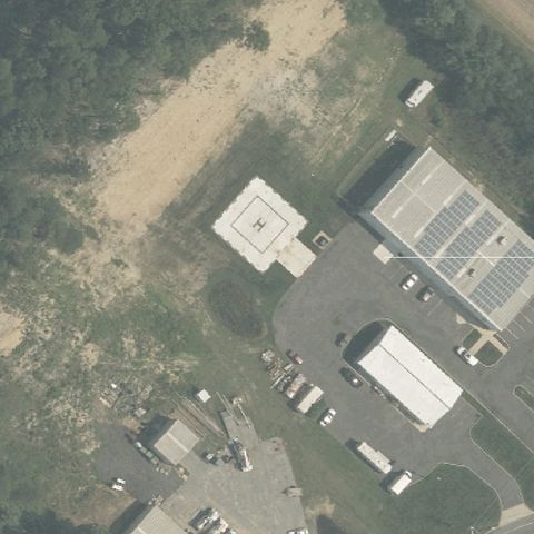
MILLVILLE, NJ
39.3747361110001, -75.064725
A light circular prepared pad sits centered beside the buildings.
✓ Confirmed by AI vision with Claude Opus 4.8
 Confirmed
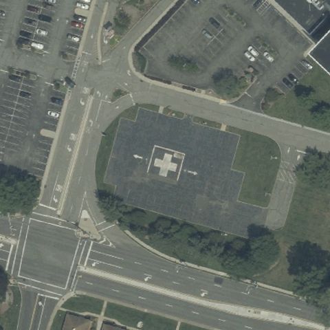
WESTWOOD, NJ
40.9843388890001, -74.0155055559999
A square pad with a white cross/H marking sits at the image center.
✓ Confirmed by AI vision with Claude Opus 4.8