 Not visible
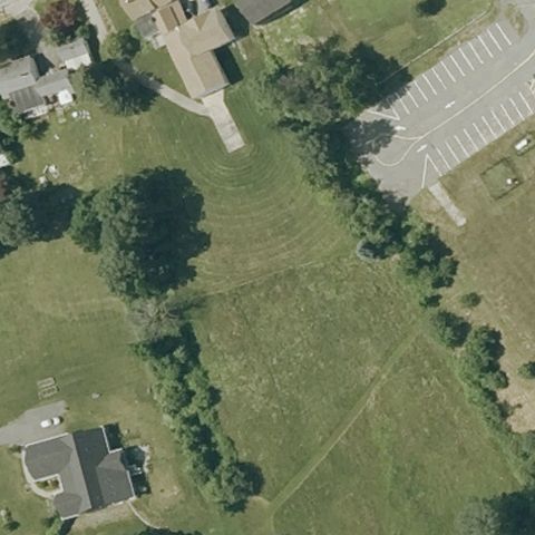
10NH Clark
HAMPSTEAD, NH
42.874083333, -71.1796666669999
Center is an open grass field with no visible pad or markings.
85% confidence
Verify on the map →
Is there really a pad here?
Data: FAA Airports (ArcGIS open layer) | Imagery: USGS NAIP (public domain) | AI vision: Claude Opus 4.8 | built 2026-07-05
A flag means a pad could not be confirmed from current imagery - never that a heliport is missing, fake, or mislocated. Help us check: vote on each one below.
Not visibleHAMPSTEAD, NH
42.874083333, -71.1796666669999
Center is an open grass field with no visible pad or markings.
 Not visible
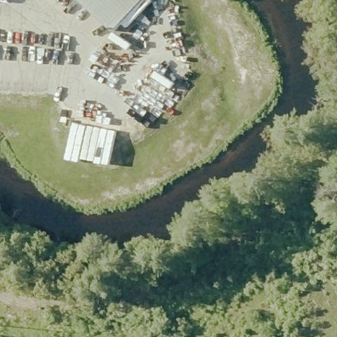
HILLSBORO, NH
43.1100000000001, -71.917333333
Center shows an industrial yard with materials and buildings but no helipad.
 Not visible
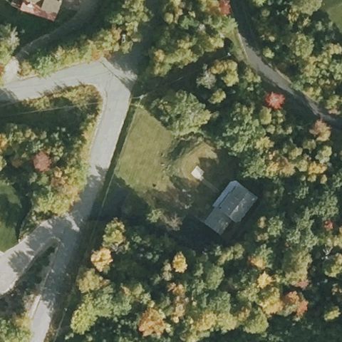
JACKSON, NH
44.1559361110001, -71.1568694439999
Center is a wooded residential lot with a small clearing but no visible pad.
 Not visible
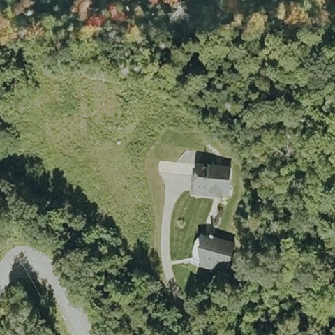
JACKSON, NH
44.149088889, -71.167875
Center is an open lawn beside a house with a small paved drive but no pad markings.
 Not visible
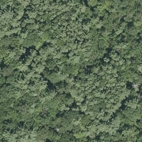
LOUDON, NH
43.3584111110001, -71.4411805559999
Center is dense forest canopy with no clearing or pad.
 Not visible
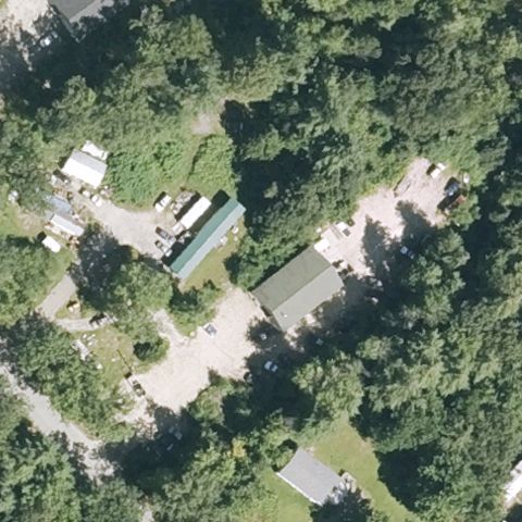
MEREDITH, NH
43.6794444440001, -71.519444444
Center is buildings and trees in a wooded lot with no visible pad.
 Not visible
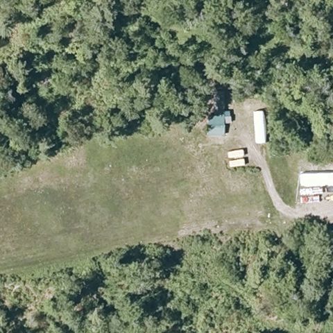
MEREDITH, NH
43.6947222220001, -71.4891666669999
Center is an open grass field by an outbuilding with no pad markings.
 Not visible
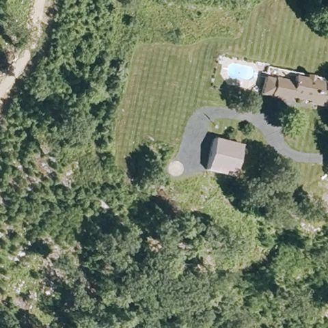
MEREDITH, NH
43.6253861110001, -71.565458333
Center is a residential lawn with a circular cleared area but no clear helipad markings.
 Not visible
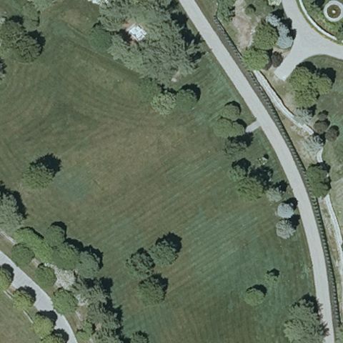
ALTON, NH
43.5480055560001, -71.226125
Center is open mown field and scattered trees with no visible pad.
 Not visible
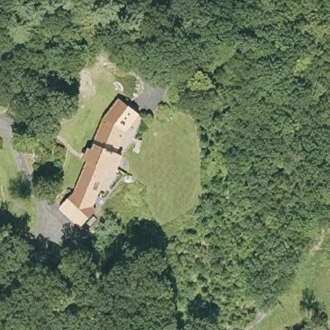
BEDFORD, NH
42.9708055560001, -71.5730305559999
Center is a grass clearing beside a long building with no pad markings.
 Not visible
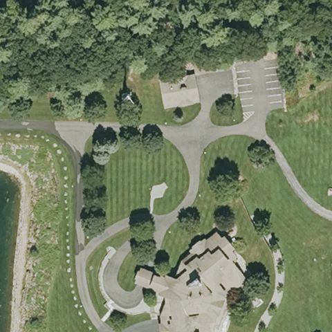
BEDFORD, NH
42.922307222, -71.508401111
Center shows a landscaped estate with lawns and drives but no visible helipad.
 Not visible
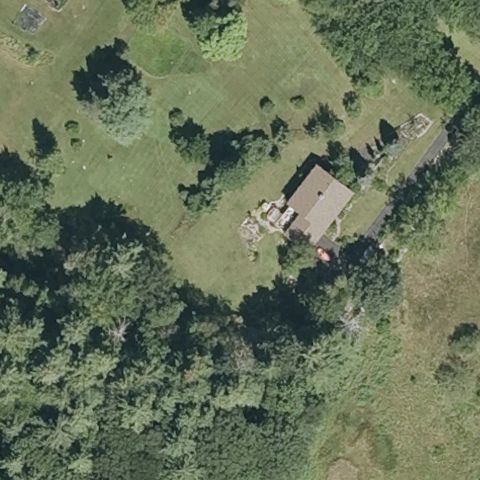
BOW, NH
43.114316667, -71.498233333
Center is a wooded residential lot with a house but no visible pad.
 Not visible
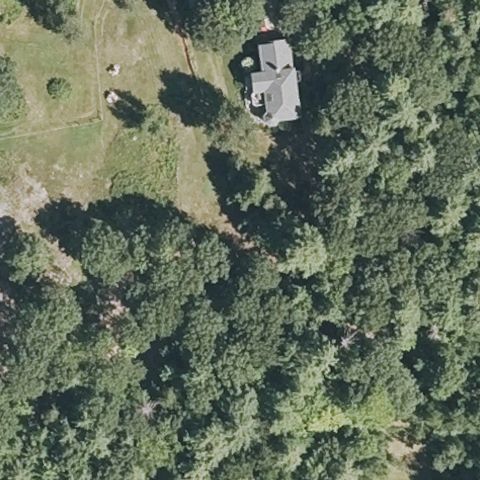
DUNBARTON, NH
43.1094444440001, -71.638055556
Center is forest with a house and small clearing at top but no pad.
 Not visible
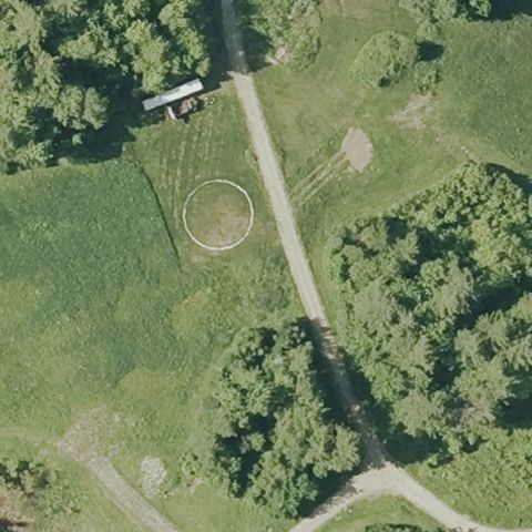
GRAFTON, NH
43.5452777780001, -71.9961111109999
A faint circular ring is at center but lacks clear pad markings; likely not an active pad.
 Not visible
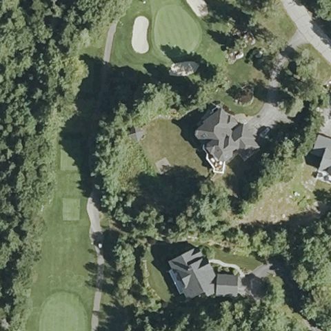
HALES LOCATION, NH
44.0438333330001, -71.166733333
Center is a wooded estate with houses and a golf area but no visible pad.
 Not visible
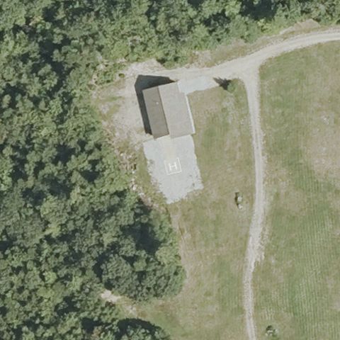
HALES LOCATION, NH
44.043922222, -71.17815
Center is a building with a small paved apron and open field but no pad markings.
 Not visible
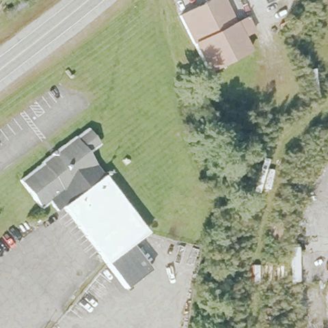
LANCASTER, NH
44.503668056, -71.569251111
Center is an open grass field beside buildings with no pad markings.
 Not visible
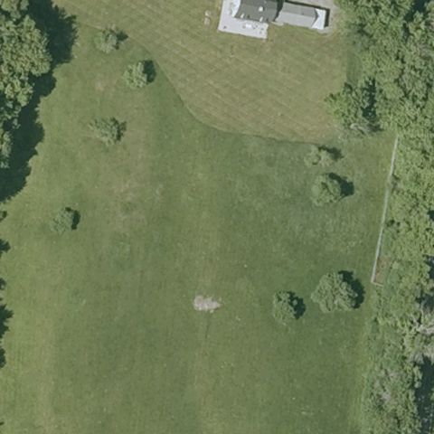
LEBANON, NH
43.667833333, -72.202722222
Center is an open mown field with a faint worn patch but no clear pad markings.
 Not visible
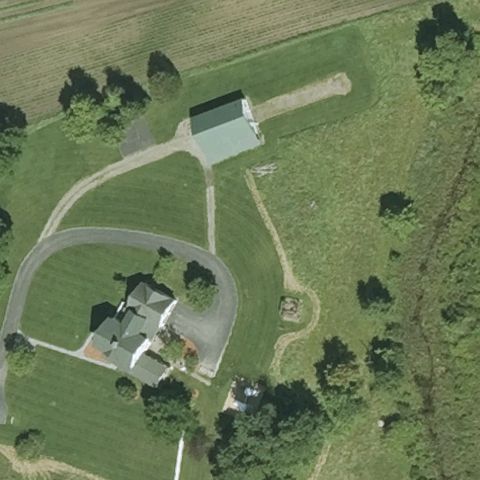
LITCHFIELD, NH
42.854875, -71.4737222219999
Center is a grassy residential lot with driveways but no visible pad.
 Not visible
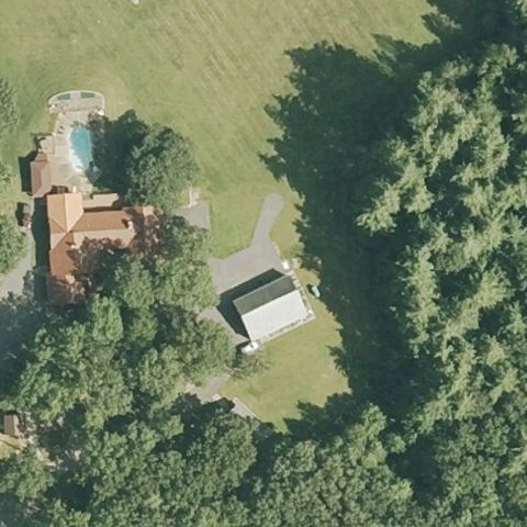
MILFORD, NH
42.8161138890001, -71.6241666669999
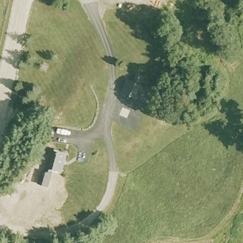
Center is an open lawn beside a house and small building with no pad markings.
 Not visible
MILFORD, NH
42.8050000000001, -71.6986666669999
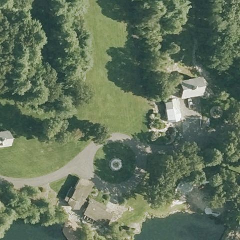
Center is open field and driveways near small buildings with no visible pad.
 Not visible
MILFORD, NH
42.8144861110001, -71.66085
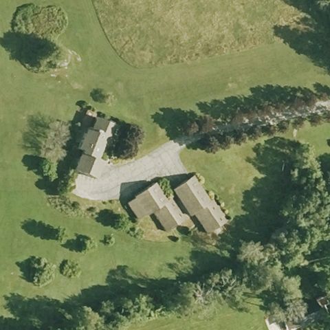
A faint circular feature is at center of a landscaped lawn but lacks clear pad markings.
 Not visible
NASHUA, NH
42.712727778, -71.45775
Center is a grassy clearing in a tech park with no visible pad markings.
 Not visible
NEW BOSTON, NH
42.936861111, -71.669527778
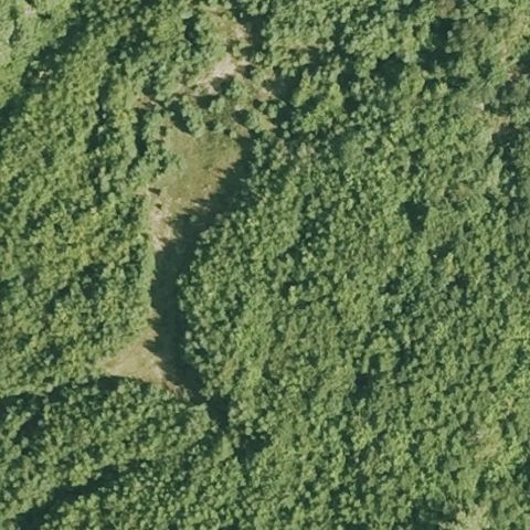
Center is an open lawn beside houses and driveways with no pad markings.
 Not visible
NEW BOSTON, NH
42.973166667, -71.697902778
Center is dense forest canopy with no clearing or pad.
 Not visible
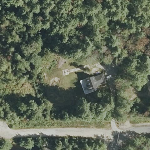
NORTH CONWAY, NH
44.0431, -71.157222222
Center is a wooded lot with a house and small clearing but no visible pad.
 Not visible
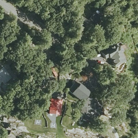
NORTH CONWAY, NH
44.0334030560001, -71.146181667
Center is forested residential terrain with houses but no visible pad.
 Not visible
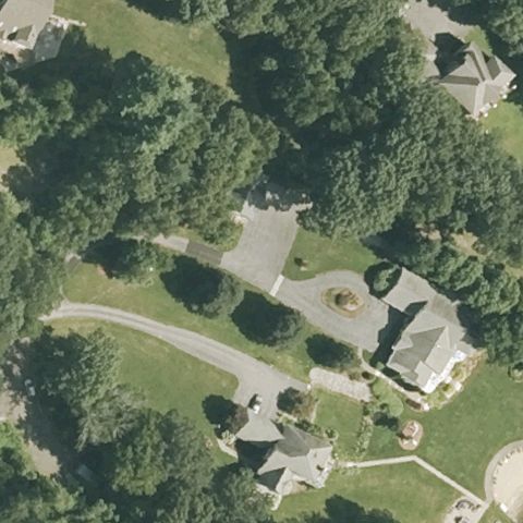
PELHAM, NH
42.7011555560001, -71.369477778
A faint circular feature is at center of a residential lawn but lacks clear pad markings.
 Not visible
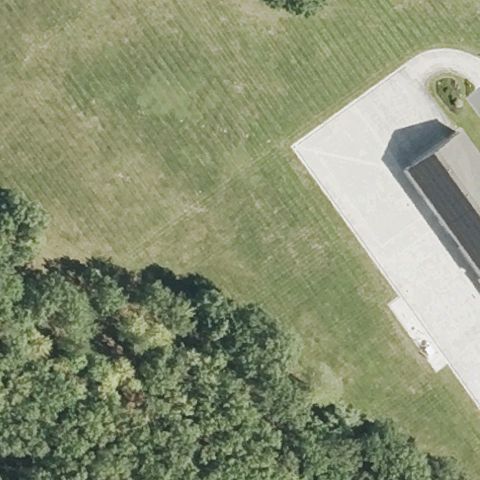
PEMBROKE, NH
43.1959147220001, -71.477292222
Center is open lawn beside a large paved driveway apron but no pad markings.
 Not visible
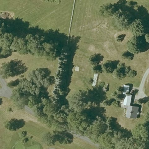
PLAINFIELD, NH
43.5431266670001, -72.352313333
Center is open field with scattered trees and a faint clearing but no pad markings.
 Not visible
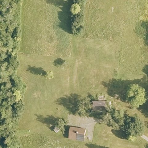
WESTMORELAND, NH
42.9436111110001, -72.484444444
Center is an open grass field with trees and a small building but no pad.
 Not visible
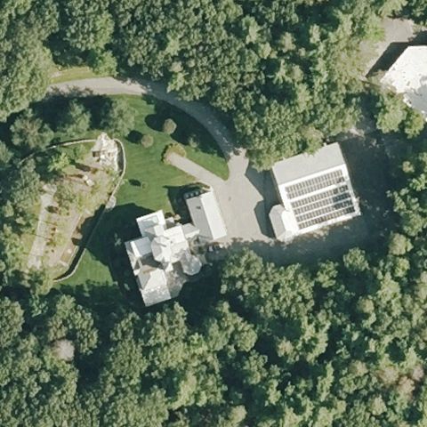
WILTON, NH
42.8257083330001, -71.7411499999999
Center is a wooded estate with houses and driveways but no visible pad.
 Not visible
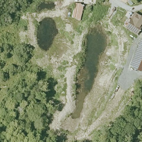
PLAINFIELD, NH
43.582472222, -72.2089
Center is rough quarry-like terrain with ponds and no visible pad.
 Not visible
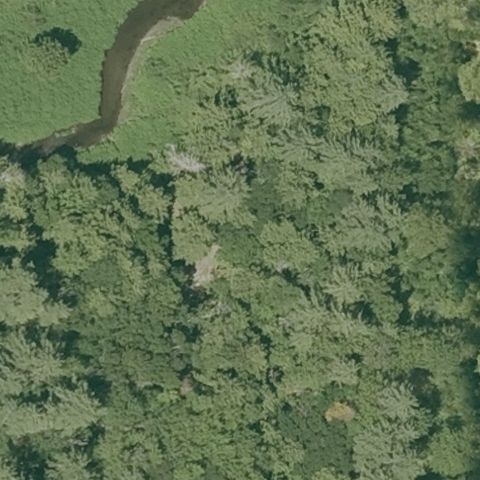
PLAINFIELD, NH
43.523916667, -72.358416667
Center is dense forest canopy beside a river with no clearing or pad.
 Not visible
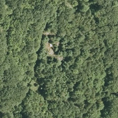
PLYMOUTH, NH
43.733786111, -71.6788083329999
Center is dense forest canopy with no clearing or pad.
 Not visible
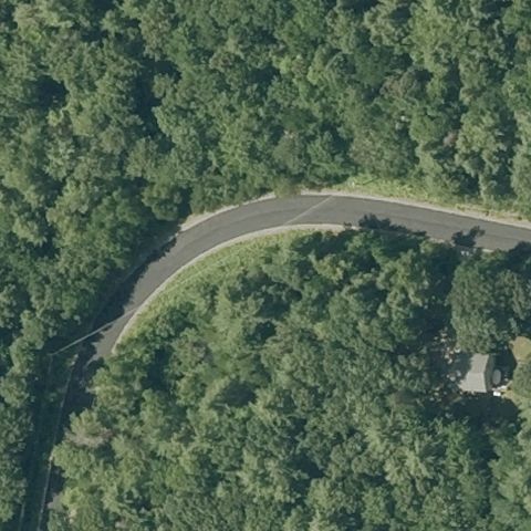
RAYMOND, NH
42.985166667, -71.178283333
Center is forest along a curving road with no clearing or pad.
 Not visible
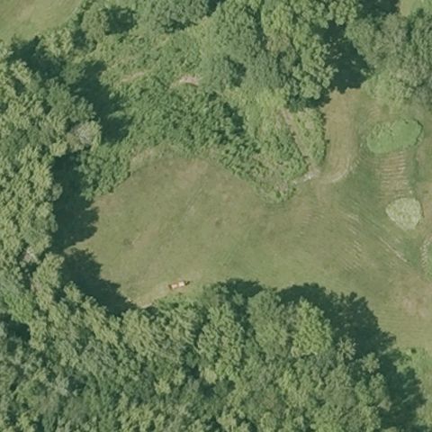
PIERMONT, NH
44.008027778, -72.089611111
Center is an open field ringed by forest with no visible pad markings.
 Not visible
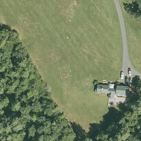
ALTON, NH
43.4238888890001, -71.248722222
Open grassy hillside with a house at lower right, no marked pad at center.
 Not visible
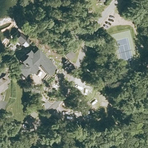
ALTON, NH
43.5557055560001, -71.3079194439999
Center is dense trees and scattered buildings with no visible landing area.
 Not visible
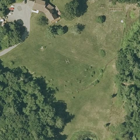
DANVILLE, NH
42.9553333330001, -71.093333333
Open grass field surrounded by trees with no marked pad.
 Not visible
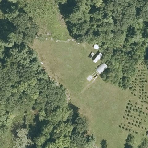
DEERFIELD, NH
43.1748055560001, -71.283
Grassy clearing with small farm sheds, no visible touchdown marking.
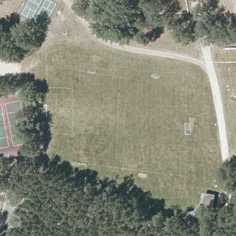 Not visible
FREEDOM, NH
43.809013889, -71.09145
Large grass field with sports courts nearby, no helipad markings at center.
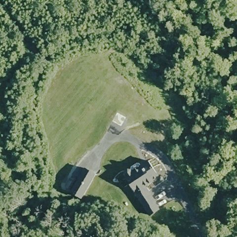 Not visible
HENNIKER, NH
43.1443444440001, -71.853613889
Grass field with a small structure, no distinct landing pad at center.
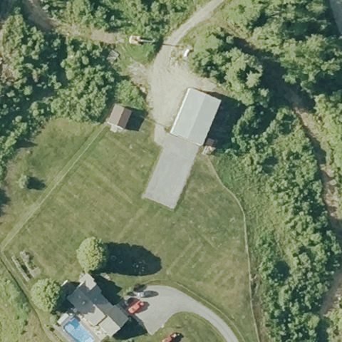 Not visible
WENTWORTH, NH
43.838411111, -71.885827778
Grass field with a long driveway and barn, no landing pad markings.
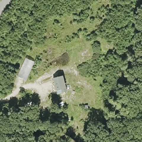 Not visible
GREENFIELD, NH
42.9294444440001, -71.861111111
Wooded clearing with a small building, no marked pad at center.
 Not visible
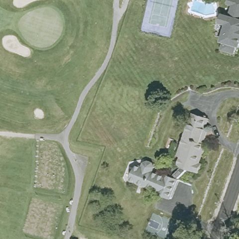
CANDIA, NH
43.044063889, -71.316669444
Golf-course-style grounds with buildings, no helipad marking at center.
 Not visible
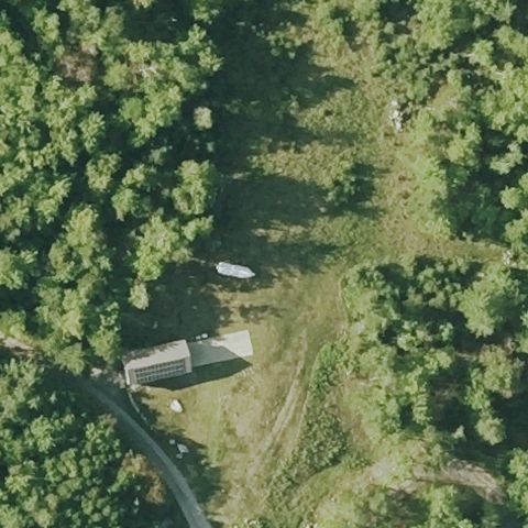
WARREN, NH
43.9610000000001, -71.888833333
Forested area with grass and a small building, no marked pad.
 Not visible
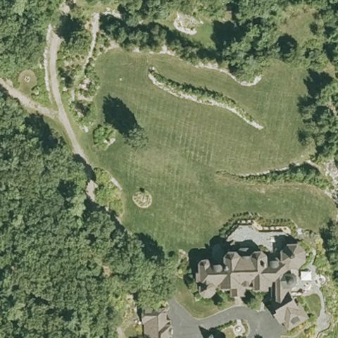
ALTON, NH
43.4824166670001, -71.2453055559999
Landscaped grass grounds near a residence, no helipad marking at center.
 Not visible
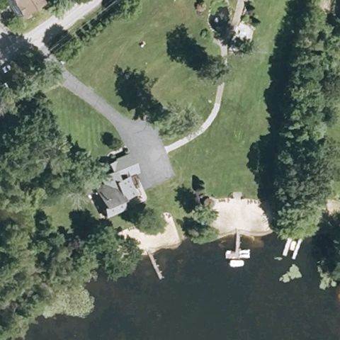
LACONIA, NH
43.6008722220001, -71.466338889
Lakeside residence with driveway and dock, no helipad marking at center.
 Not visible
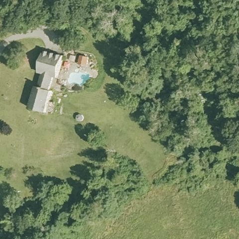
MONT VERNON, NH
42.9007111110001, -71.6469888889999
Residence with pool surrounded by trees, no helipad marking visible.
 Not visible
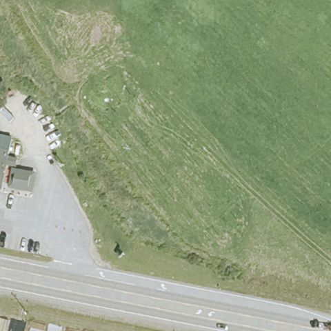
NORTHWOOD, NH
43.223283333, -71.248958333
Grass field beside a road with a small lot, no marked landing pad.
 Not visible
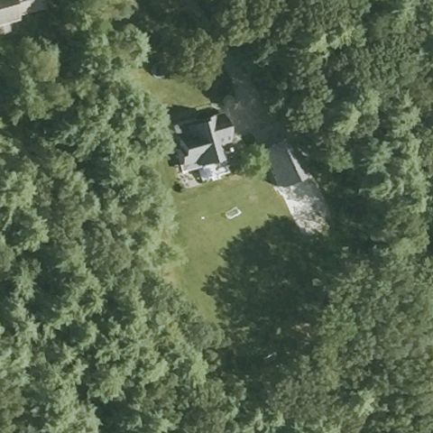
ROLLINSFORD, NH
43.223044444, -70.8315638889999
Forest clearing with a residence, no marked landing pad at center.
 Not visible
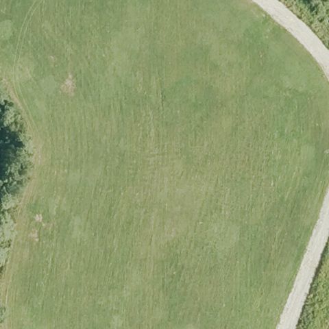
MILFORD, NH
42.8277166670001, -71.678447222
Open grass field with a path, no touchdown markings visible.
 Not visible
HOOKSETT, NH
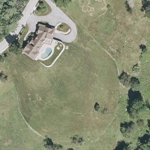
43.065433333, -71.4992194439999
Large grass meadow below a residence with pool, no helipad marking visible.
 Not visible
WINDHAM, NH
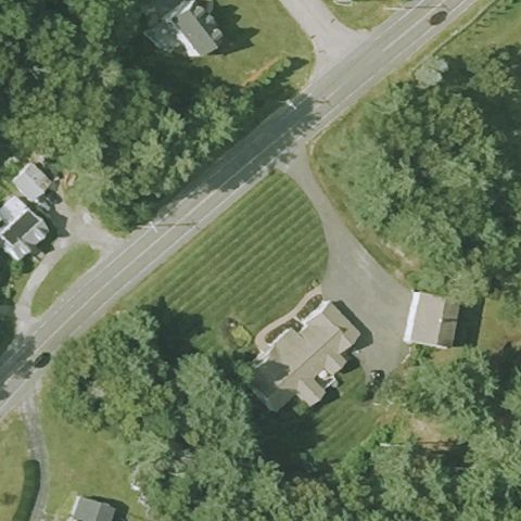
42.7878420000001, -71.30922
Road intersection with grass and houses, no marked landing pad at center.
 Off-center
MANCHESTER, NH
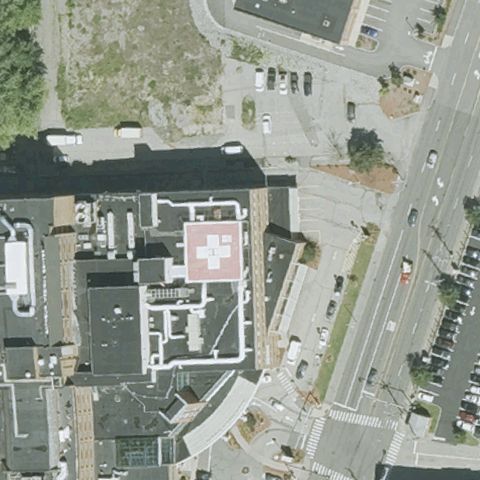
42.9917, -71.474105556
A marked rooftop pad with red cross is visible near center-left on the hospital building.
 Off-center
FRANKLIN, NH
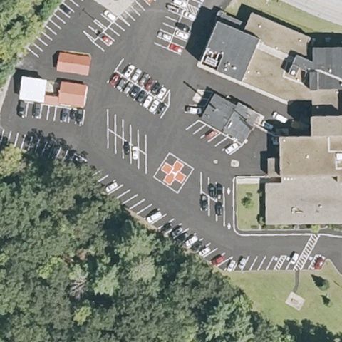
43.4483416670001, -71.645430556
A marked pad appears center-right in the hospital parking area, slightly off center.
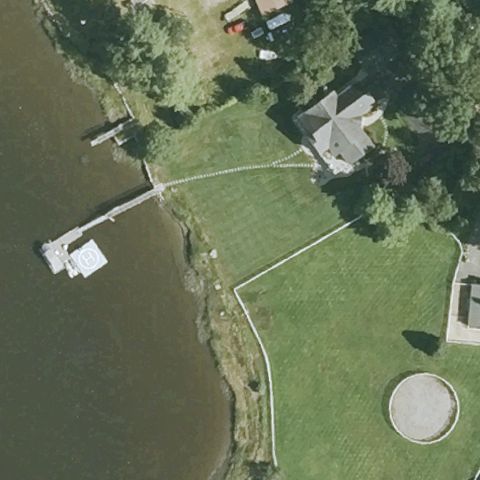 Off-center
DOVER, NH
43.151830556, -70.8468999999999
A circular pad is visible at lower-right on a lakeside lot, off center from the FAA point.
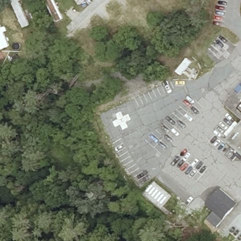 Off-center
WOODSVILLE, NH
44.135408333, -72.0244777779999
A white H/cross helipad marking is visible in the hospital lot, slightly off center.
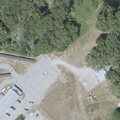 Uncertain
CENTER OSSIPEE, NH
43.7928527780001, -71.177291111
Center is open ground near buildings and a fixed-wing aircraft, but no helicopter pad markings are visible.
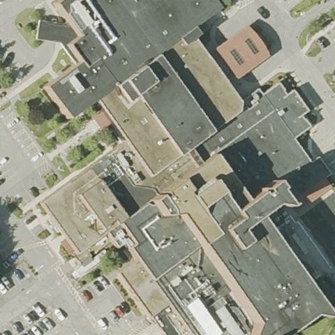 Uncertain
KEENE, NH
42.9489583330001, -72.291897222
Center is a dense medical complex of rooftops with no clearly visible pad.
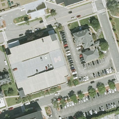 Uncertain
NASHUA, NH
42.755577778, -71.4615666669999
Center is a medical center building and parking with no clearly visible pad.
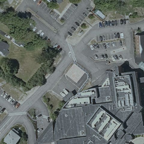 Uncertain
WOLFEBORO, NH
43.582261111, -71.201725
Center is a dense downtown block of rooftops and roads with no clearly visible pad.
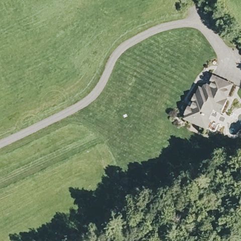 Uncertain
CONCORD, NH
43.2649166670001, -71.548416667
Manicured grass lawn with only a faint spot, no distinct pad at center.
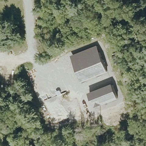 Uncertain
JACKSON, NH
44.1417222220001, -71.181111111
Gravel yard with fire-station buildings, no marked landing area visible.
 Uncertain
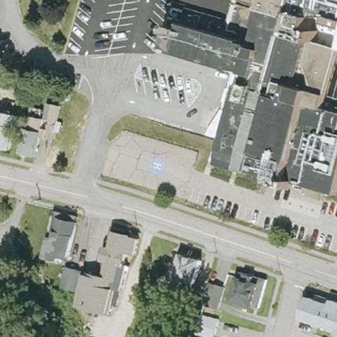
LACONIA, NH
43.5279972220001, -71.4638666669999
Hospital parking lot with a faint blue mark but no clear helipad at center.
 Uncertain
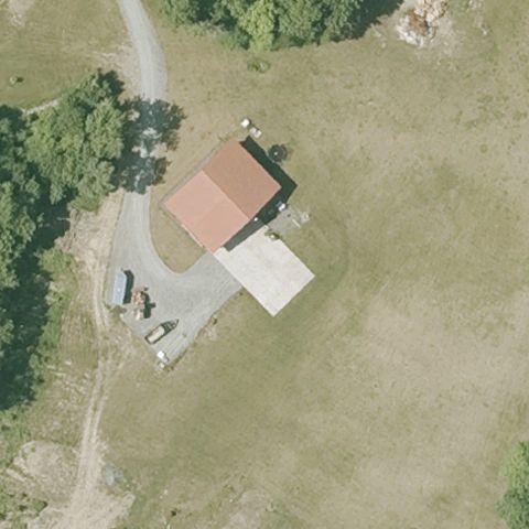
ORFORD, NH
43.859169444, -72.096152778
Farm building with a concrete apron, no helicopter pad marking at center.
 Uncertain
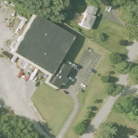
HUDSON, NH
42.7941666670001, -71.3677777779999
Commercial building with parking and grass, no landing pad marking visible.
 Uncertain
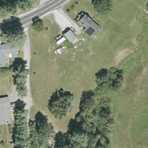
PEMBROKE, NH
43.1322666670001, -71.4395361109999
Grass property with buildings and vehicles, no marked pad at center.
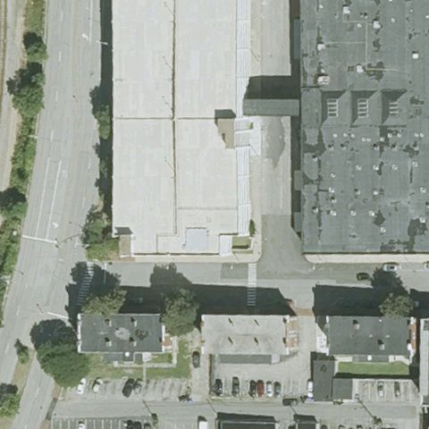 Uncertain
MANCHESTER, NH
42.9923944440001, -71.4653361109999
Large building rooftops dominate but no clearly marked rooftop helipad is visible at center.
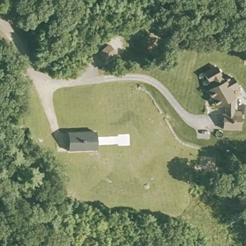 Uncertain
MILFORD, NH
42.8057972220001, -71.618797222
Grass field with a building and driveway, no helipad marking at center.
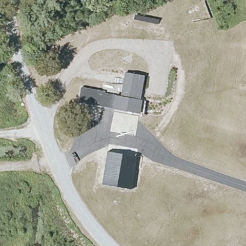 Uncertain
MOULTONBOROUGH, NH
43.763027778, -71.389205556
Paved areas with buildings and driveways, no distinct helipad marking at center.
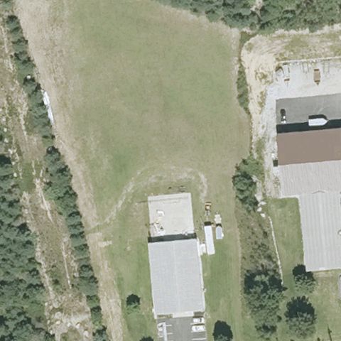 Uncertain
HOOKSETT, NH
43.0635972220001, -71.453516667
Grass field beside buildings, no marked landing pad at center.
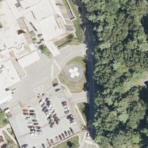 Confirmed
CONCORD, NH
43.1975166670001, -71.560641667
A clear circular helipad with painted H sits at the image center beside the hospital.
✓ Confirmed by AI vision with Claude Opus 4.8
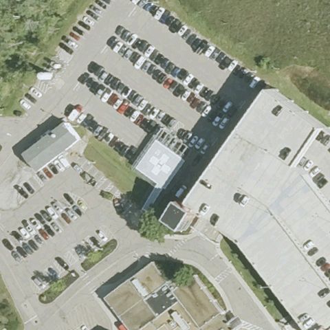 Confirmed
DOVER, NH
43.2144135280001, -70.8741428609999
A square prepared pad sits at center in the hospital parking area though markings are faint.
✓ Confirmed by AI vision with Claude Opus 4.8
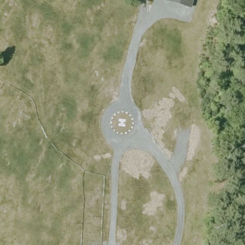 Confirmed
HANOVER, NH
43.674302778, -72.205352778
A distinct circular touchdown marker with center marking sits at the image center.
✓ Confirmed by AI vision with Claude Opus 4.8
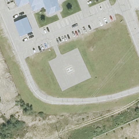 Confirmed
HOOKSETT, NH
43.0558055560001, -71.446305556
A square pad with a faint painted H sits at center near the safety center.
✓ Confirmed by AI vision with Claude Opus 4.8
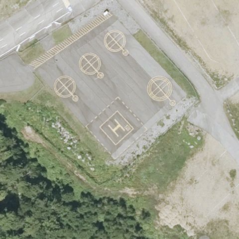 Confirmed
LOUDON, NH
43.3658, -71.455641667
A large pad with painted H and multiple circular markers sits at center of the speedway area.
✓ Confirmed by AI vision with Claude Opus 4.8
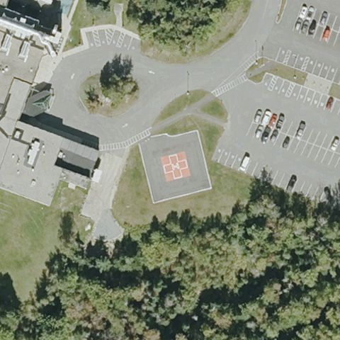 Confirmed
BERLIN, NH
44.486724, -71.154348833
A square pad with painted H sits at center in the hospital parking area.
✓ Confirmed by AI vision with Claude Opus 4.8
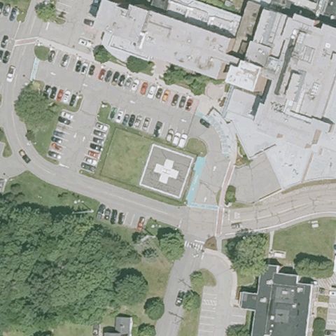 Confirmed
EXETER, NH
42.981975, -70.936236111
A square pad with painted H and red cross sits at center near the hospital.
✓ Confirmed by AI vision with Claude Opus 4.8
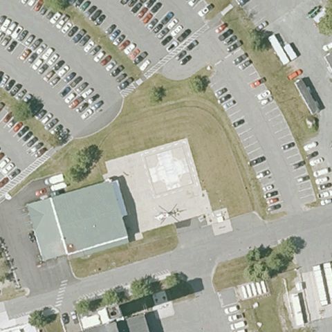 Confirmed
LEBANON, NH
43.677588889, -72.271097222
A square prepared pad sits at center in the medical center parking area though markings are faint.
✓ Confirmed by AI vision with Claude Opus 4.8
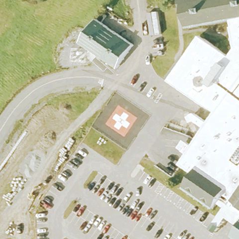 Confirmed
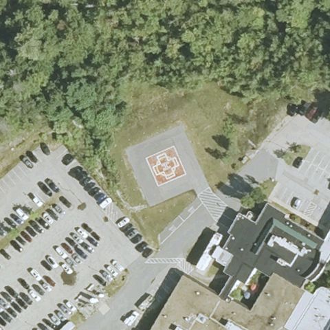
LITTLETON, NH
44.3175805560001, -71.826772222
A square pad with painted H and red cross sits at center near the hospital.
✓ Confirmed by AI vision with Claude Opus 4.8
 Confirmed
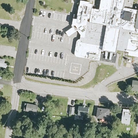
NORTH CONWAY, NH
44.0624861110001, -71.1371722219999
A square pad with painted H sits at center near the hospital.
✓ Confirmed by AI vision with Claude Opus 4.8
 Confirmed
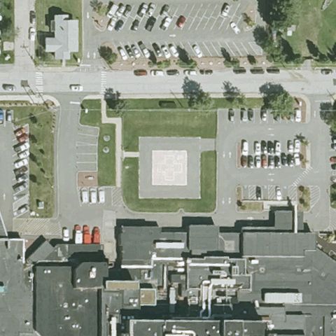
PLYMOUTH, NH
43.757283333, -71.695777778
A faint square outline pad sits at center near the hospital parking lot.
✓ Confirmed by AI vision with Claude Opus 4.8
 Confirmed
MANCHESTER, NH
42.9849444440001, -71.4377222219999
Distinct square prepared landing pad sits at the image center on the hospital lawn.
✓ Confirmed by AI vision with Claude Opus 4.8
 Confirmed
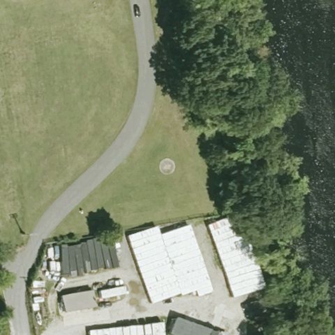
MERRIMACK, NH
42.8562694440001, -71.4860305559999
A faint circular touchdown mark is visible on the grass near center.
✓ Confirmed by AI vision with Claude Opus 4.8
 Confirmed
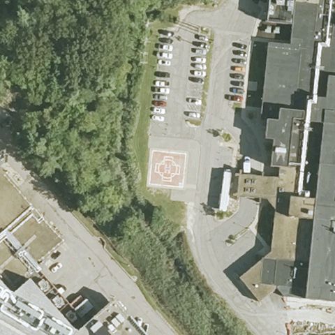
PORTSMOUTH, NH
43.0646100000001, -70.791505139
A painted orange H pad is clearly visible at the hospital lot center.
✓ Confirmed by AI vision with Claude Opus 4.8
 Confirmed
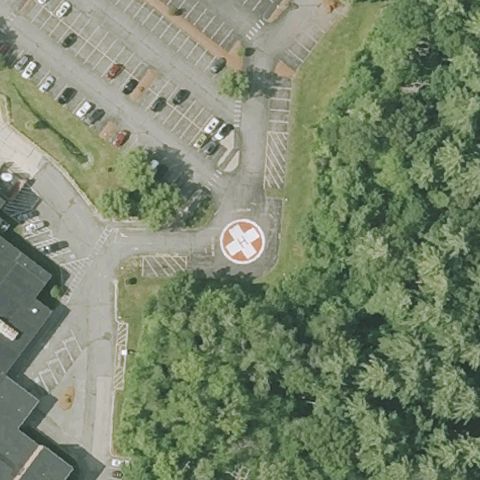
DERRY, NH
42.8771692780001, -71.315345722
A circular marked helipad with painted H sits clearly at the image center.
✓ Confirmed by AI vision with Claude Opus 4.8
 Confirmed
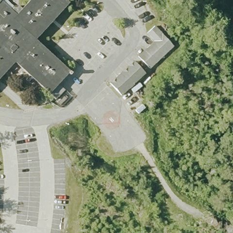
NEW LONDON, NH
43.4200805560001, -71.998858333
Paved hospital area with a faint square touchdown outline near center.
✓ Confirmed by AI vision with Claude Opus 4.8
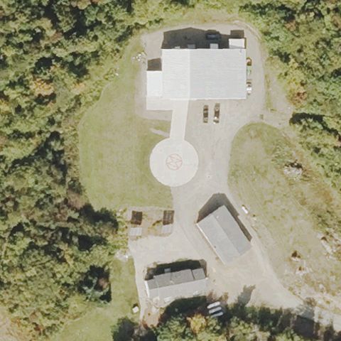 Confirmed
NORTH STRATFORD, NH
44.693291667, -71.575008333
A distinct circular landing pad is visible near the image center.
✓ Confirmed by AI vision with Claude Opus 4.8
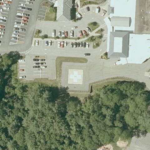 Confirmed
CLAREMONT, NH
43.384089139, -72.341546667
A light-colored square prepared pad is visible at the lot center.
✓ Confirmed by AI vision with Claude Opus 4.8
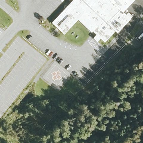 Confirmed
COLEBROOK, NH
44.90385, -71.481125
A round marked helipad with H is visible at the hospital lot center.
✓ Confirmed by AI vision with Claude Opus 4.8
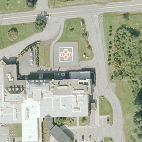 Confirmed
LANCASTER, NH
44.4865, -71.554
A painted orange H pad is clearly visible at the hospital lawn center.
✓ Confirmed by AI vision with Claude Opus 4.8
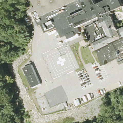 Confirmed
PETERBOROUGH, NH
42.892513889, -71.941116667
A square pad with white H/cross marking is visible at the hospital lot center.
✓ Confirmed by AI vision with Claude Opus 4.8
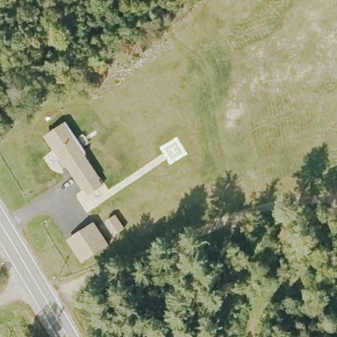 Confirmed
NORTH STRATFORD, NH
44.7188611110001, -71.597166667
A white square prepared pad is visible on the grass near center.
✓ Confirmed by AI vision with Claude Opus 4.8