 Not visible
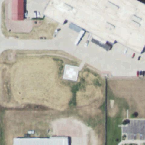
60NE Chadron Community Hospital
CHADRON, NE
42.822433333, -103.014836111
Open green field and rural buildings with no pad visible at center.
85% confidence
Verify on the map →
Is there really a pad here?
Data: FAA Airports (ArcGIS open layer) | Imagery: USGS NAIP (public domain) | AI vision: Claude Opus 4.8 | built 2026-07-05
A flag means a pad could not be confirmed from current imagery - never that a heliport is missing, fake, or mislocated. Help us check: vote on each one below.
Not visibleCHADRON, NE
42.822433333, -103.014836111
Open green field and rural buildings with no pad visible at center.
 Not visible
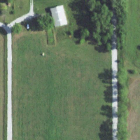
FIRTH, NE
40.567777778, -96.660833333
Rural grass field and gravel lot with no helicopter pad at center.
 Not visible
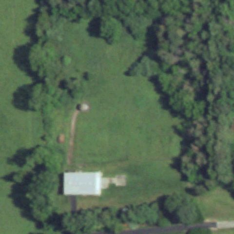
DAVEY, NE
40.9832270000001, -96.7096769999999
Wooded rural property with a clearing and shed but no pad at center.
 Off-center
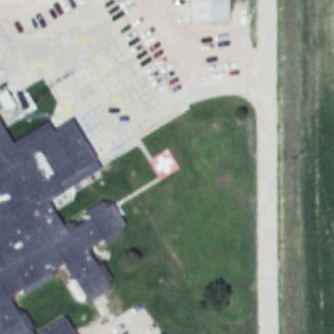
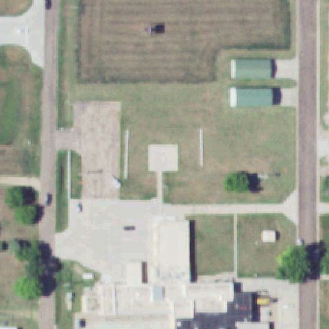
ALLIANCE, NE
42.116966667, -102.868883333
Faint pinkish square pad on grass left of the image center near the hospital.
 Off-center
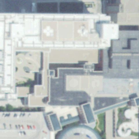
FRANKLIN, NE
40.1025750000001, -98.954313889
Faint pink square pad on grass below-center near the hospital.
 Off-center
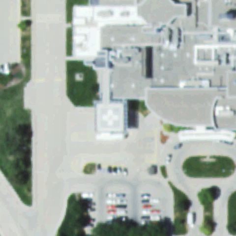
OMAHA, NE
41.255377778, -95.978955556
Two rooftop pads with white cross markings, located above the image center.
 Off-center
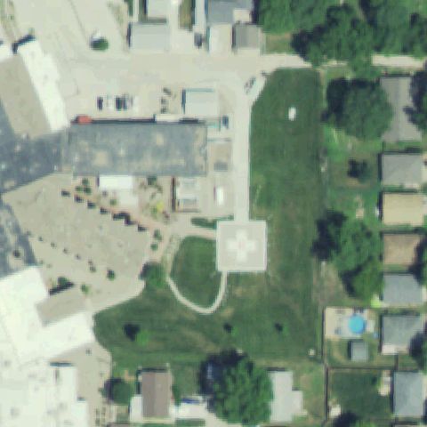
SCOTTSBLUFF, NE
41.8863527780001, -103.665375
White square pad with cross marking left of the image center.
 Off-center
SEWARD, NE
40.9097305560001, -97.0905888889999
White square pad with cross marking on grass left of center.
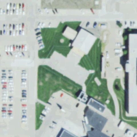 Off-center
NORFOLK, NE
42.0351250000001, -97.452922222
Faint pinkish square pad on grass left of the image center.
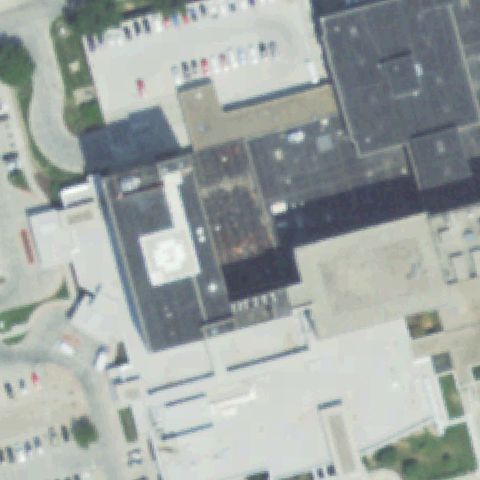 Off-center
OMAHA, NE
41.321863889, -96.021013889
Light rooftop pad with faint marking left of the image center.
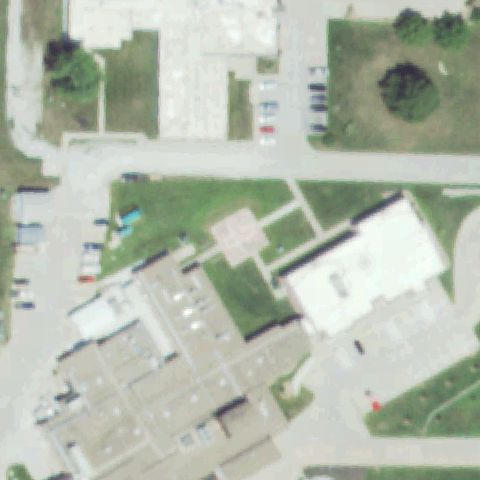 Off-center
TECUMSEH, NE
40.3800555560001, -96.19685
Faint pinkish square pad on grass just left of center.
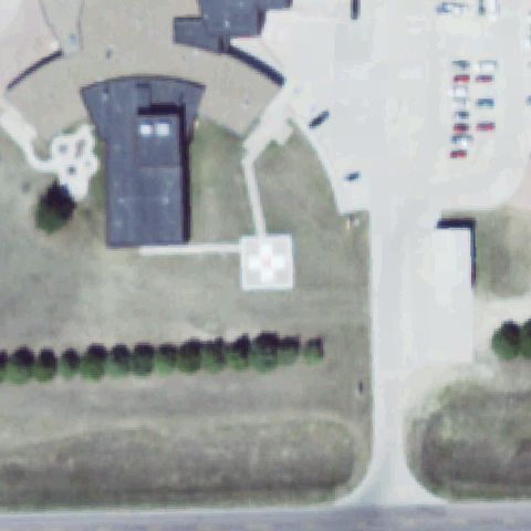
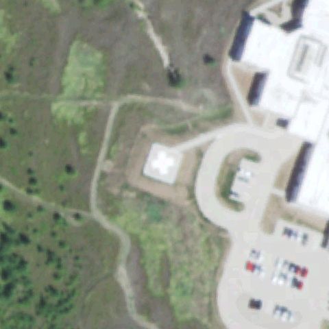 Off-center
NEBRASKA CITY, NE
40.656272222, -95.8636083329999
White cross-marked pad on grass left of the image center.
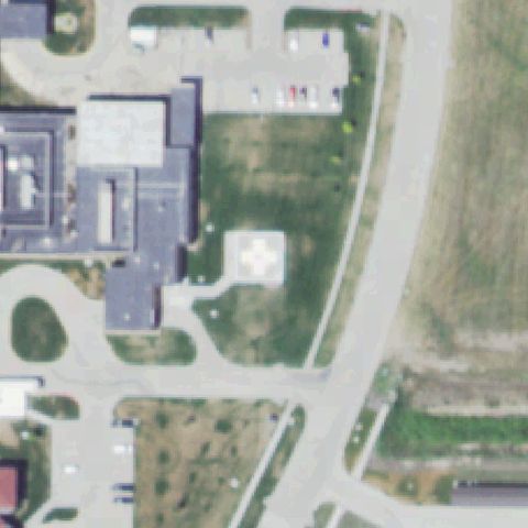
 Off-center
VALENTINE, NE
42.8786805560001, -100.537766667
Small white cross-marked pad just below-left of the image center.
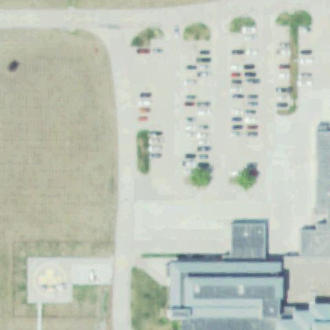
 Off-center
KEARNEY, NE
40.681663889, -99.111580556
Faint white pad with cross marking near center-left by the medical building.
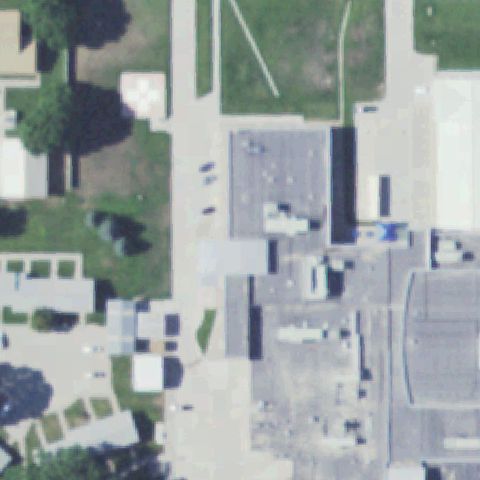
 Off-center
COLUMBUS, NE
41.455738889, -97.386036111
Small circular pad marking near the bottom-left edge, not at center.
 Uncertain
GOTHENBURG, NE
40.9393944440001, -100.153927778
Paved lots and buildings at center with no clear marked pad.
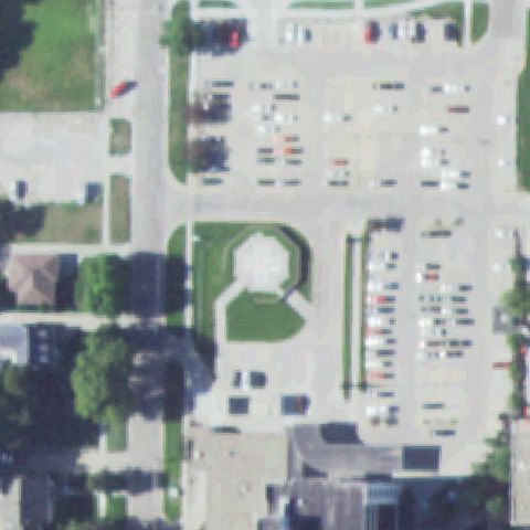 Uncertain
HASTINGS, NE
40.591763889, -98.388227778
Circular grass landscaped area at center with no distinct marked pad.
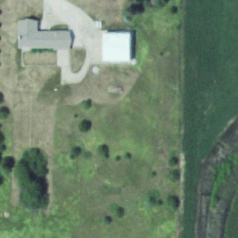 Uncertain
MADISON, NE
41.8435527780001, -97.421647222
Light rooftop area at center with no clearly distinguishable pad marking.
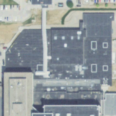 Uncertain
OMAHA, NE
41.239980556, -96.029988889
Large dark building roof at center with no visible marked pad.
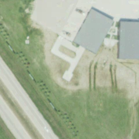 Uncertain
VALLEY, NE
41.3055166670001, -96.3192611109999
Driveway and hangar aprons with no helicopter pad marking at center.
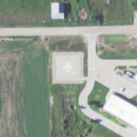 Confirmed
CAMBRIDGE, NE
40.2809055560001, -100.181711111
Clear square ground pad with a white marking at the image center.
✓ Confirmed by AI vision with Claude Opus 4.8
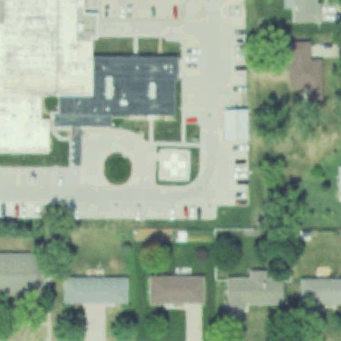 Confirmed
FAIRBURY, NE
40.154883333, -97.173933333
Square pad with a white cross/H marking near the center of the courtyard.
✓ Confirmed by AI vision with Claude Opus 4.8
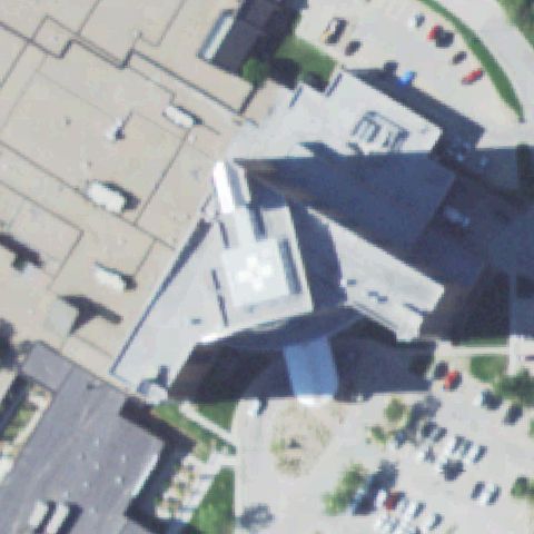 Confirmed
GRAND ISLAND, NE
40.9256916670001, -98.370916667
Rooftop pad with a white marking near the center of the hospital building.
✓ Confirmed by AI vision with Claude Opus 4.8
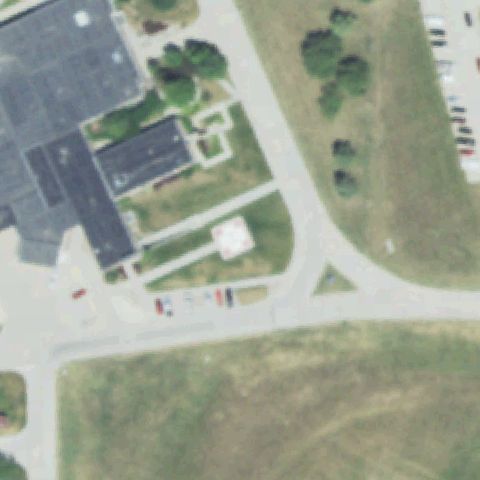 Confirmed
AUBURN, NE
40.390894444, -95.8525749999999
White square pad with cross marking set in the grass at the image center.
✓ Confirmed by AI vision with Claude Opus 4.8
 Confirmed
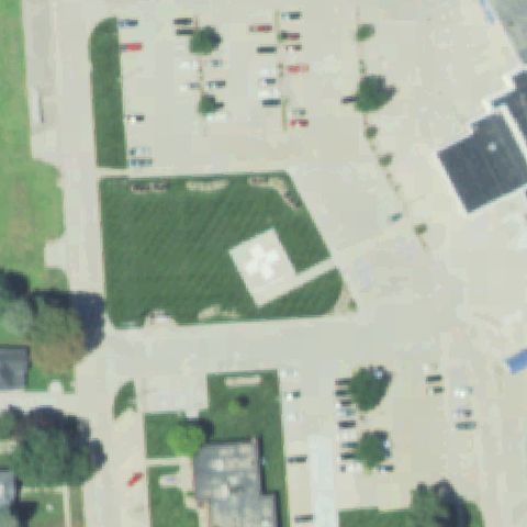
AURORA, NE
40.8708083330001, -98.011738889
White square pad with marking on tan ground near the center.
✓ Confirmed by AI vision with Claude Opus 4.8
 Confirmed
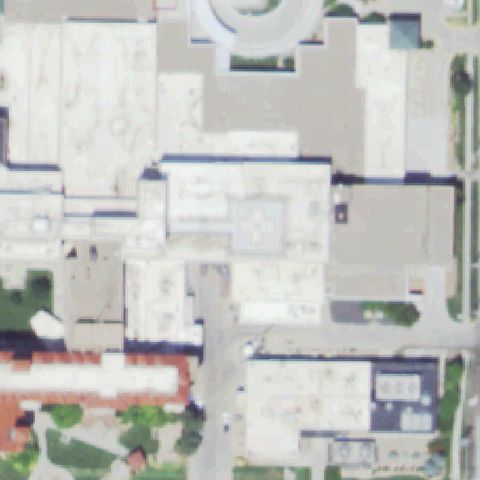
KEARNEY, NE
40.7071916670001, -99.081002778
Faint marking on a light rooftop pad near the center of the medical complex.
✓ Confirmed by AI vision with Claude Opus 4.8
 Confirmed
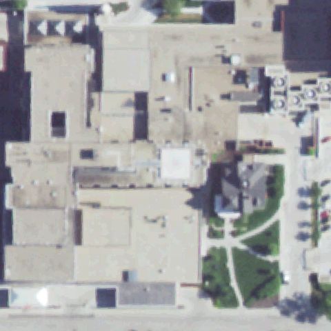
LINCOLN, NE
40.7958833330001, -96.6519916669999
White square rooftop pad near the center of the hospital roof.
✓ Confirmed by AI vision with Claude Opus 4.8
 Confirmed
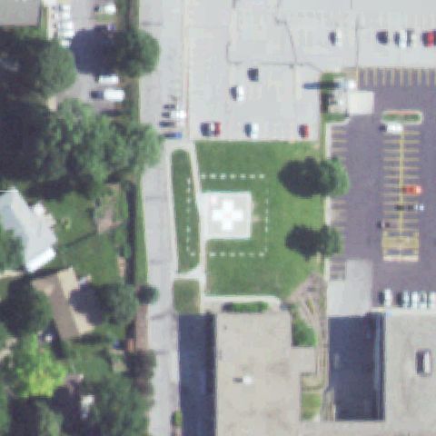
LINCOLN, NE
40.8090388890001, -96.628033333
White square pad with cross marking in the lawn at the image center.
✓ Confirmed by AI vision with Claude Opus 4.8
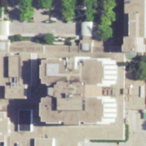 Confirmed
LINCOLN, NE
40.7896250000001, -96.698275
White cross-marked pad in the courtyard near the image center.
✓ Confirmed by AI vision with Claude Opus 4.8
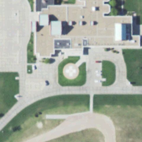 Confirmed
OGALLALA, NE
41.1508805560001, -101.718888889
Circular pad with white cross marking in the landscaped lawn at center.
✓ Confirmed by AI vision with Claude Opus 4.8
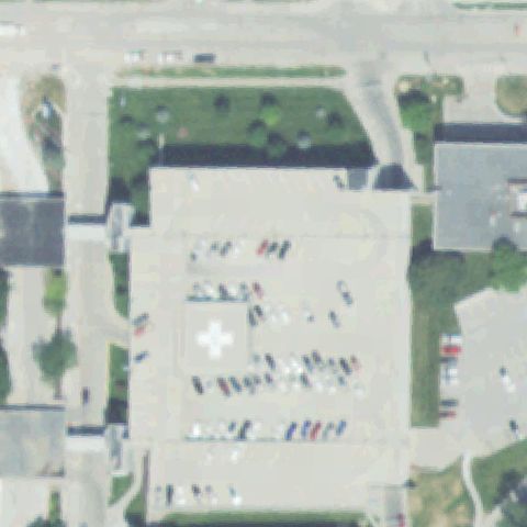 Confirmed
OMAHA, NE
41.2591652780001, -96.040850556
White cross-marked pad set in the paved plaza near the image center.
✓ Confirmed by AI vision with Claude Opus 4.8
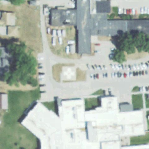 Confirmed
PENDER, NE
42.1061083330001, -96.711147222
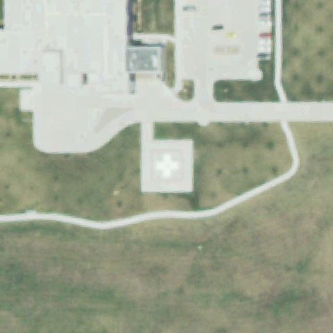
White square pad with cross marking near the image center.
✓ Confirmed by AI vision with Claude Opus 4.8
 Confirmed
SYRACUSE, NE
40.6760694440001, -96.181469444
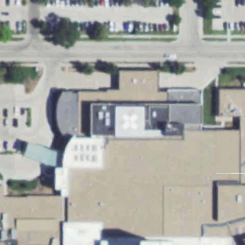
Small white pad with cross marking near the center beside the hospital.
✓ Confirmed by AI vision with Claude Opus 4.8
 Confirmed
NORTH PLATTE, NE
41.1222388890001, -100.771183333
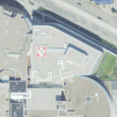
White square pad with cross marking in the grass oval at the image center.
✓ Confirmed by AI vision with Claude Opus 4.8
 Confirmed
OMAHA, NE
41.260741667, -96.041761111
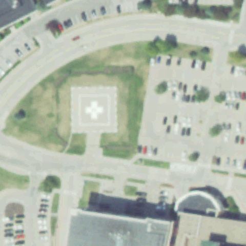
White rooftop pad with cross marking near the center of the hospital roof.
✓ Confirmed by AI vision with Claude Opus 4.8
 Confirmed
OMAHA, NE
41.2386111110001, -96.1813888889999
White square pad with cross marking in the grass at the image center.
✓ Confirmed by AI vision with Claude Opus 4.8
 Confirmed
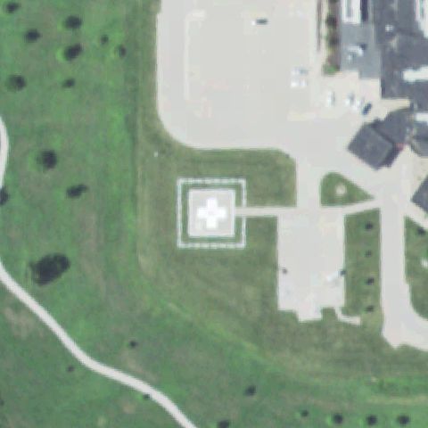
FALLS CITY, NE
40.077222222, -95.608880556
White bordered square pad with cross marking in the lawn at the image center.
✓ Confirmed by AI vision with Claude Opus 4.8