 Not visible
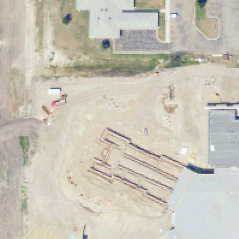
ND28 Towner County Medical Center
CANDO, ND
48.4922530000001, -99.2122649999999
Active construction/grading site at center with no helipad present.
85% confidence
Verify on the map →
Is there really a pad here?
Data: FAA Airports (ArcGIS open layer) | Imagery: USGS NAIP (public domain) | AI vision: Claude Opus 4.8 | built 2026-07-05
A flag means a pad could not be confirmed from current imagery - never that a heliport is missing, fake, or mislocated. Help us check: vote on each one below.
Not visibleCANDO, ND
48.4922530000001, -99.2122649999999
Active construction/grading site at center with no helipad present.
 Not visible
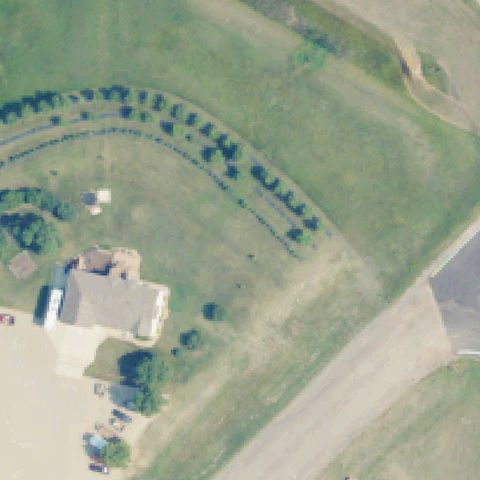
DAWSON, ND
46.8766666670001, -99.752333333
Open farm field and yard with no landing pad at center.
 Not visible
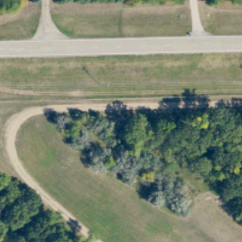
DEVILS LAKE, ND
48.0625000000001, -98.9292886109999
Road, trees and grass field at center with no prepared pad.
 Not visible
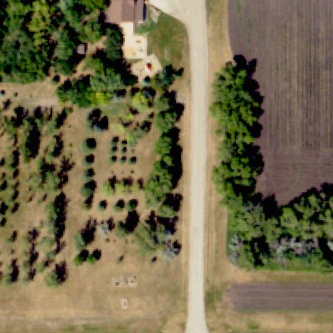
GALCHUTT, ND
46.3846825000001, -96.82258
Tree nursery rows and gravel drive with no helipad at center.
 Not visible
MINOT, ND
48.2846920000001, -101.305951
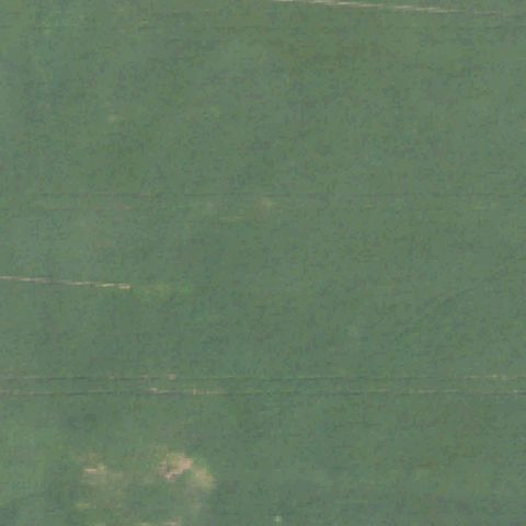
Uniform green field with no pad; imagery likely predates construction.
 Off-center
CAVALIER, ND
48.721938333, -97.911209722
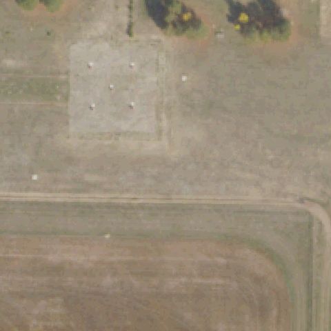
Faded square prepared pad with reflector dots, located above center.
 Off-center
HARVEY, ND
47.7662500000001, -99.9320499999999
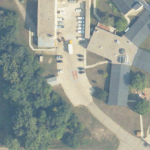
Red painted H on paved surface, located below and right of center.
 Off-center
MINOT, ND
48.1927555560001, -101.330119444
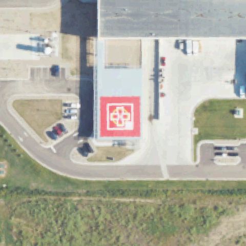
Large red cross helipad prominent but slightly left of center.
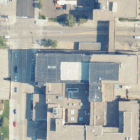 Uncertain
BISMARCK, ND
46.8082416670001, -100.782552778
Downtown hospital rooftops at center with faint roof markings but no distinct landing pad.
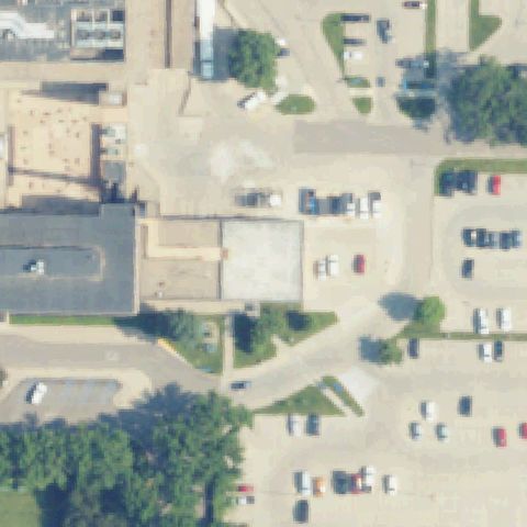 Uncertain
BISMARCK, ND
46.80715, -100.776825
Parking lots and a plain concrete slab with no helipad markings at center.
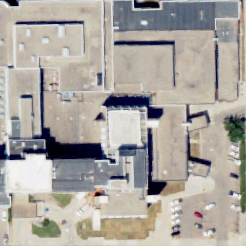 Uncertain
FARGO, ND
46.8846055560001, -96.785647222
Hospital building rooftops at center with no visible pad or H marking.
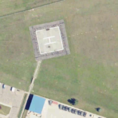 Confirmed
BISMARCK, ND
46.831104167, -100.720403889
White painted H on a square concrete pad centered in the image.
✓ Confirmed by AI vision with Claude Opus 4.8
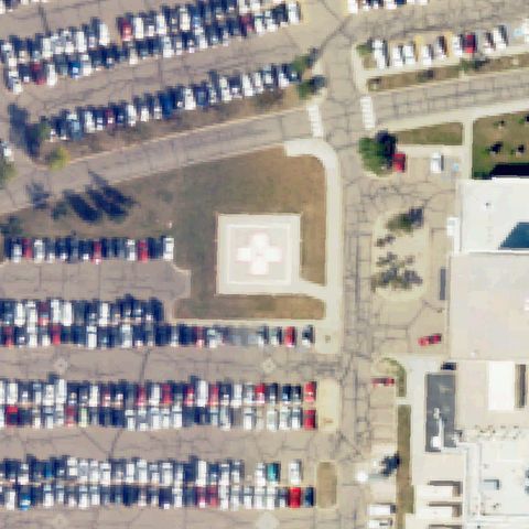 Confirmed
FARGO, ND
46.8315166670001, -96.8291833329999
White medical cross on a square concrete pad near center.
✓ Confirmed by AI vision with Claude Opus 4.8
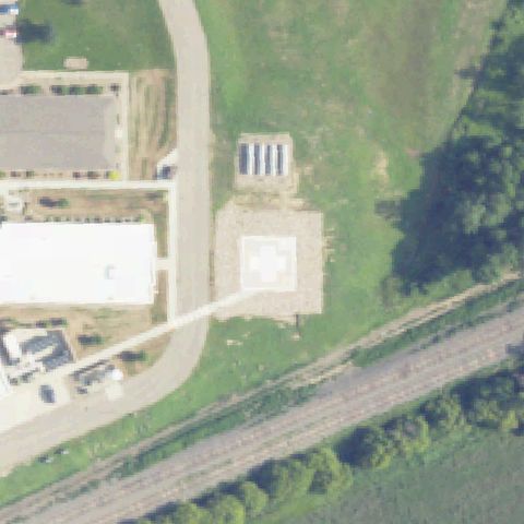 Confirmed
HAZEN, ND
47.298261111, -101.608775
White medical cross on a square concrete pad near center.
✓ Confirmed by AI vision with Claude Opus 4.8
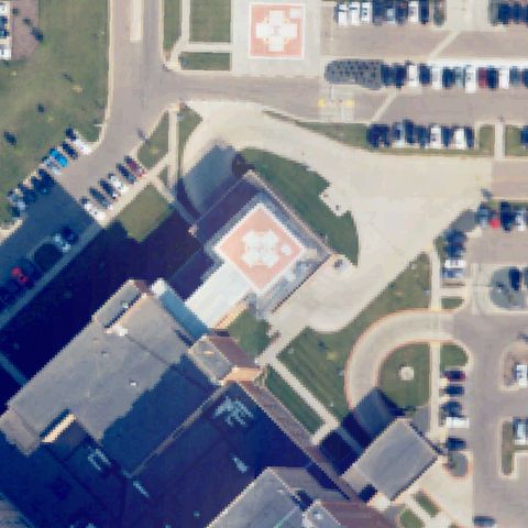 Confirmed
FARGO, ND
46.846283472, -96.8749497219999
Square pad with white circle/cross marking near center of a hospital campus.
✓ Confirmed by AI vision with Claude Opus 4.8
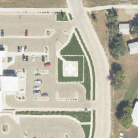 Confirmed
WATFORD CITY, ND
47.8039694440001, -103.26915
White medical cross on a square concrete pad near center.
✓ Confirmed by AI vision with Claude Opus 4.8
 Confirmed
FORT YATES, ND
46.0954750000001, -100.627486111
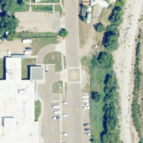
Yellow circle with H marking on a round paved pad near center.
✓ Confirmed by AI vision with Claude Opus 4.8
 Confirmed
COOPERSTOWN, ND
47.4367722220001, -98.118744444
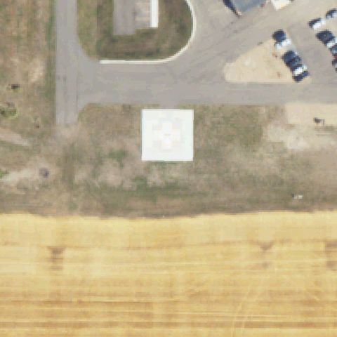
White square concrete pad with faint center circle marking at image center.
✓ Confirmed by AI vision with Claude Opus 4.8