 Not visible
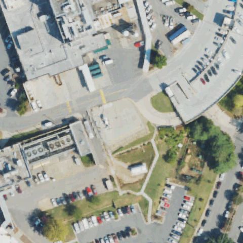
NC95 Mission Hospitals
ASHEVILLE, NC
35.5753333330001, -82.5485
Hospital buildings, lots, and parking at center with no marked landing pad.
80% confidence
Verify on the map →
Is there really a pad here?
Data: FAA Airports (ArcGIS open layer) | Imagery: USGS NAIP (public domain) | AI vision: Claude Opus 4.8 | built 2026-07-05
A flag means a pad could not be confirmed from current imagery - never that a heliport is missing, fake, or mislocated. Help us check: vote on each one below.
Not visibleASHEVILLE, NC
35.5753333330001, -82.5485
Hospital buildings, lots, and parking at center with no marked landing pad.
 Not visible
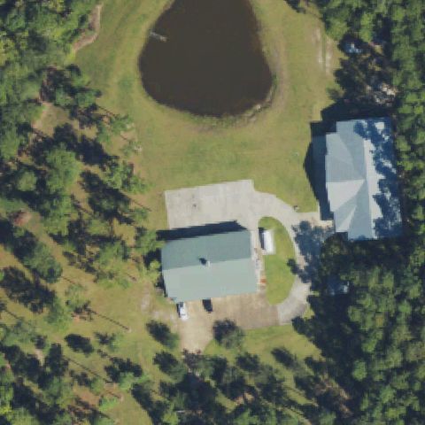
CASTLE HAYNE, NC
34.3592944440001, -77.8609472219999
Rural houses and pond at center with no landing pad or markings.
 Not visible
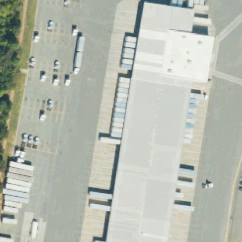
CHARLOTTE, NC
35.2362522220001, -80.933128333
Large industrial roof and parking at center with no pad markings.
 Not visible
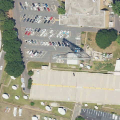
CHARLOTTE, NC
35.2266194440001, -80.8724972219999
Parking, building, and tanks at center with no landing pad visible.
 Not visible
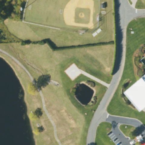
CONCORD, NC
35.357533333, -80.7058361109999
Baseball field, pond, and lawn at center with no marked pad.
 Not visible
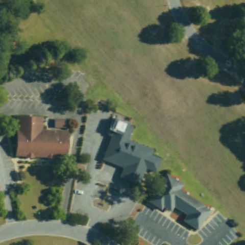
GOLDSBORO, NC
35.401666667, -77.948055556
Buildings and lawn at center with no marked landing pad.
 Not visible
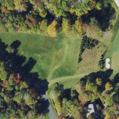
BANNER ELK, NC
36.1558055560001, -81.833583333
Golf-course lawn and trees at center with no marked landing pad.
 Not visible
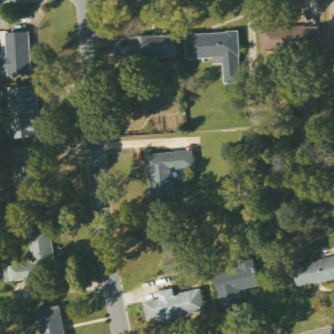
CHARLOTTE, NC
35.2112550000001, -80.7192355559999
Wooded residential neighborhood at center with no landing pad.
 Not visible
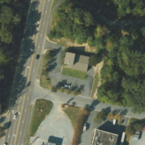
GREENVILLE, NC
35.592011111, -77.377438889
Parking lots and roads at center with no landing pad markings.
 Not visible
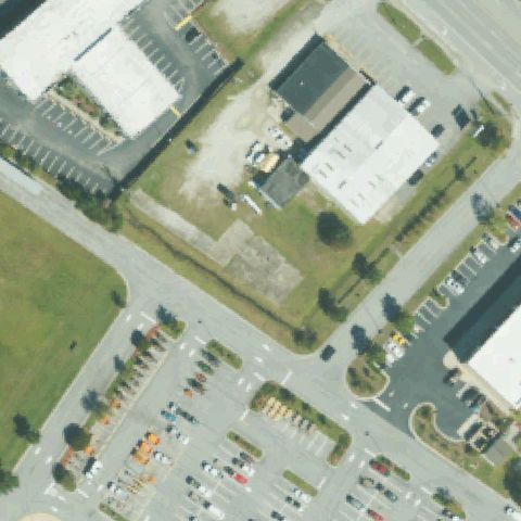
JACKSONVILLE, NC
34.7756805560001, -77.392219444
Empty gravel/dirt lot at center with no markings or prepared pad.
 Not visible
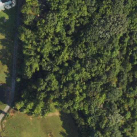
PILOT MOUNTAIN, NC
36.348333333, -80.454166667
Dense forest fills the center with no clearing or pad.
 Not visible
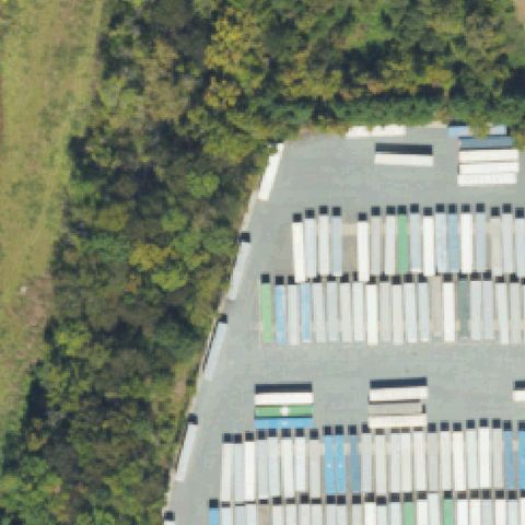
PINEVILLE, NC
35.1027777780001, -80.953888889
Lot full of stored boats/trailers at center with no landing pad.
 Not visible
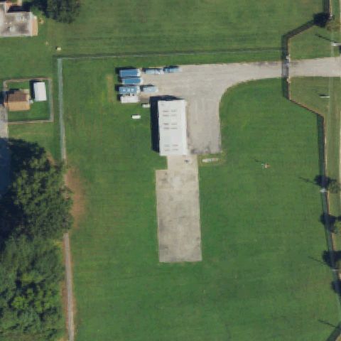
RALEIGH, NC
35.7321111110001, -78.628722222
Image center is a dirt/gravel apron beside a hangar with no helicopter pad markings.
 Not visible
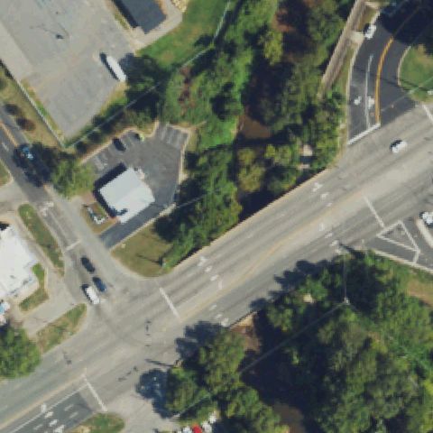
RALEIGH, NC
35.81125, -78.611686111
Center is a road intersection with no landing pad visible.
 Not visible
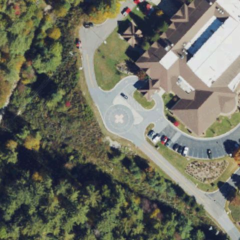
HIGHLANDS, NC
35.086005556, -83.186861111
Low-res tile shows forest and a parking loop; no pad at center.
 Not visible
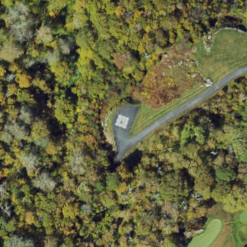
LINVILLE, NC
36.118105556, -81.860575
Low-res tile is mostly forest; center has no visible pad.
 Not visible
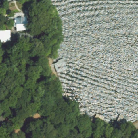
LITTLETON, NC
36.5109722220001, -77.891527778
Low-res tile shows trees and an orchard/field; no pad at center.
 Not visible
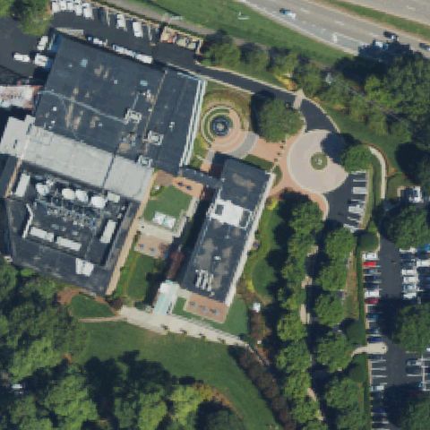
RALEIGH, NC
35.779595833, -78.674170556
Low-res office complex; center is buildings and courtyard, no helipad.
 Not visible
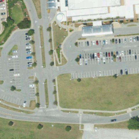
ROCKY MOUNT, NC
35.9745255280001, -77.8518864169999
Center is roads, parking and grass with no landing pad.
 Not visible
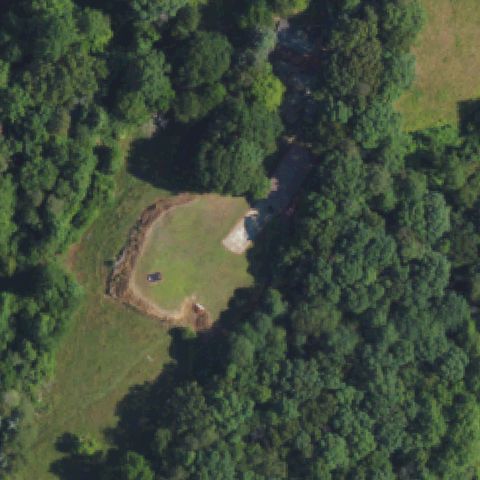
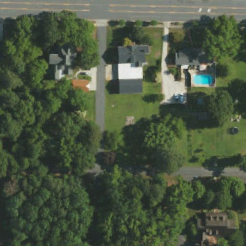
RUTHERFORDTON, NC
35.324572222, -81.946791667
Center is a grass clearing surrounded by forest with no pad.
 Not visible
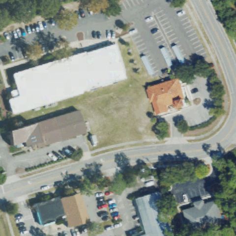
TROY, NC
35.3579186110001, -79.889489722
Residential area; center is a house and yard with no pad.
 Not visible
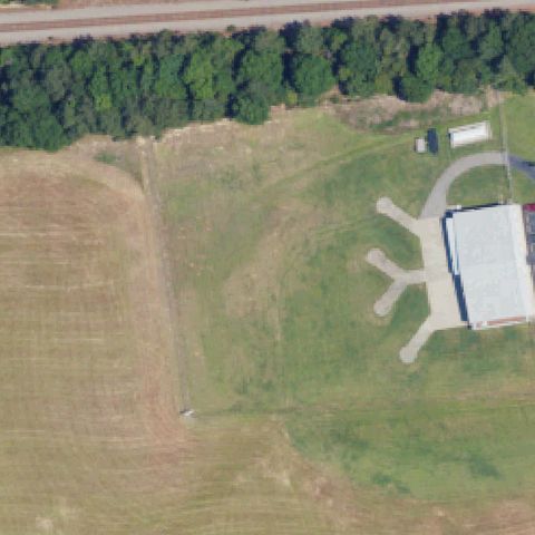
WILMINGTON, NC
34.196266667, -77.919894444
Center is an open vacant grass lot with no pad markings.
 Not visible
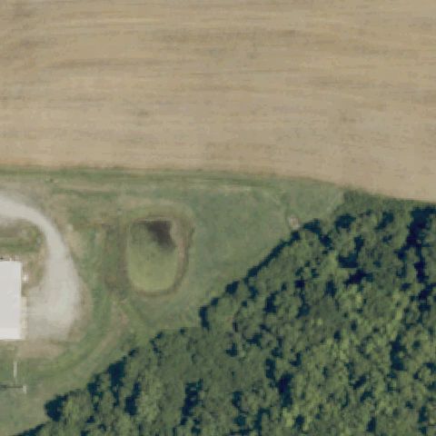
WINGATE, NC
34.984340278, -80.419145833
Center is an open field; only farm buildings appear to the right, no pad.
 Not visible
SUNBURY, NC
36.438019028, -76.608269444
Center is an agricultural field and pond edge with no pad.
 Not visible
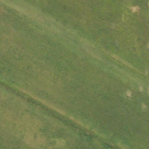
BOONES CROSSROADS, NC
36.3113083330001, -77.483033333
Open green field with no visible pad or markings at center.
 Not visible
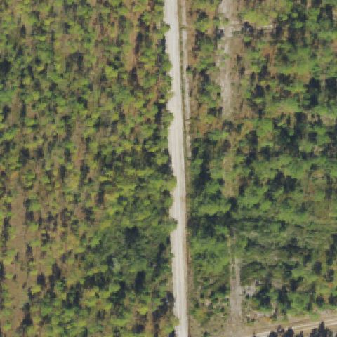
ELIZABETHTOWN, NC
34.7082694440001, -78.568352778
Dense forest split by a dirt road, no pad at center.
 Not visible
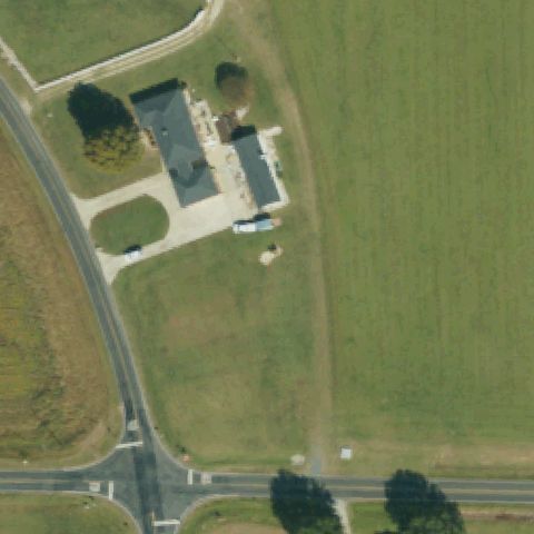
FUQUAY-VARINA, NC
35.582577778, -78.719497222
Residence and open field, no pad or markings at center.
 Not visible
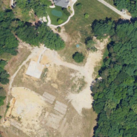
CONCORD, NC
35.406666667, -80.515
Cleared construction/dirt site with no pad markings.
 Not visible
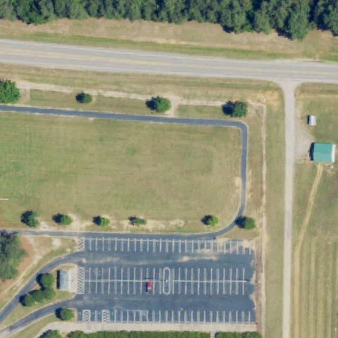
WARRENTON, NC
36.4344859720001, -78.129989306
Parking lot and recreation grounds, no helipad at center.
 Not visible
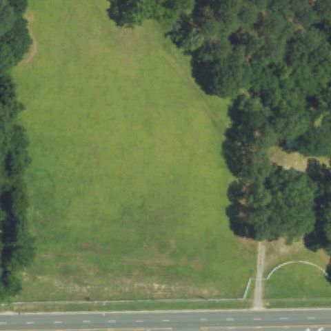
ROCKY MOUNT, NC
35.964722222, -77.860833333
Open grass field bordered by trees, no pad at center.
 Not visible
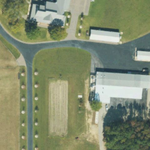
WHITAKERS, NC
36.0447222220001, -77.601666667
Grass field with a plowed strip and roadside markers, no helipad.
 Not visible
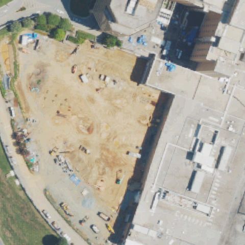
WINSTON-SALEM, NC
36.075008333, -80.298015361
Active construction/dirt site at center, imagery likely predates pad.
 Not visible
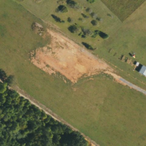
HICKORY, NC
35.6875400000001, -81.428318
Bare dirt cleared area in a field with no pad marking.
 Not visible
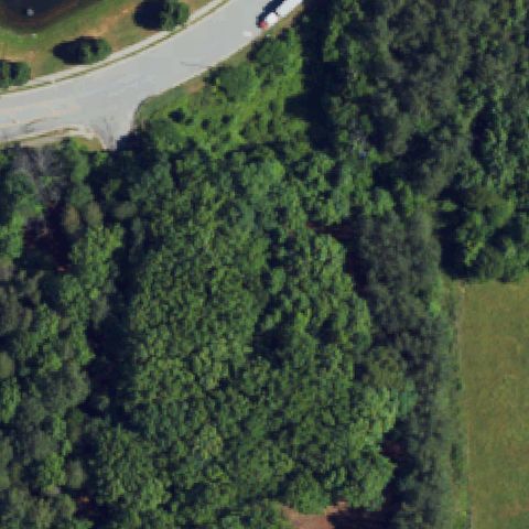
GREENSBORO, NC
36.140608333, -79.883394444
Dense forest with a road, no pad at center.
 Not visible
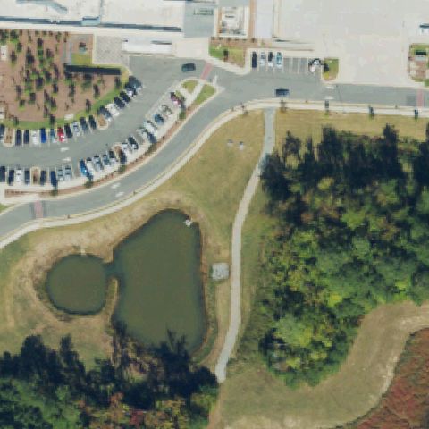
HOLLY SPRINGS, NC
35.641825, -78.8355444439999
Parking lots and a retention pond at center, no pad.
 Not visible
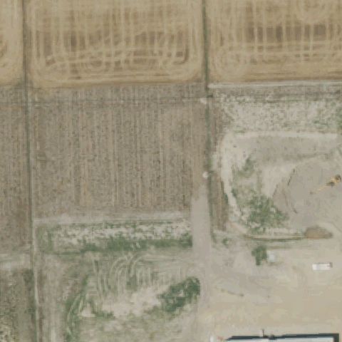
ELIZABETH CITY, NC
36.300166667, -76.270833333
Agricultural fields and bare ground, no pad; imagery likely predates construction.
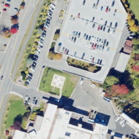 Off-center
BOONE, NC
36.1992950000001, -81.651495
Square pad with cross marking on lawn sits just below image center.
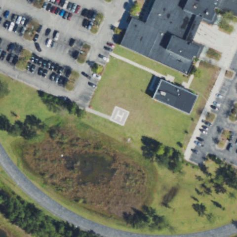 Off-center
CASTLE HAYNE, NC
34.3263305560001, -77.8965527779999
H-marked pad on lawn is left of and below center.
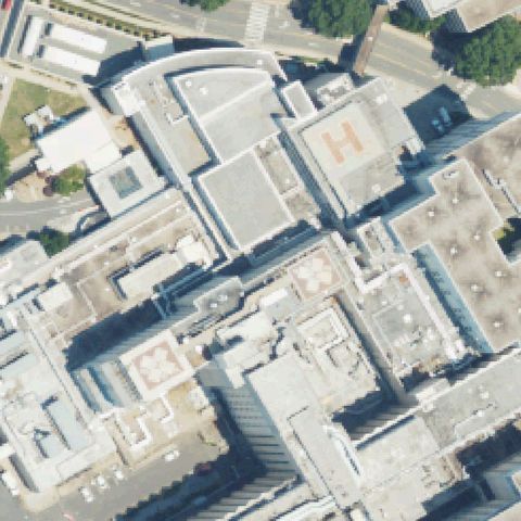 Off-center
CHARLOTTE, NC
35.2040777780001, -80.838638889
Orange H rooftop pad visible upper-right, off center among dense urban rooftops.
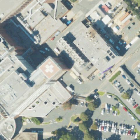 Off-center
CHARLOTTE, NC
35.2120694440001, -80.8236249999999
Rooftop pad with cross marking sits left of image center.
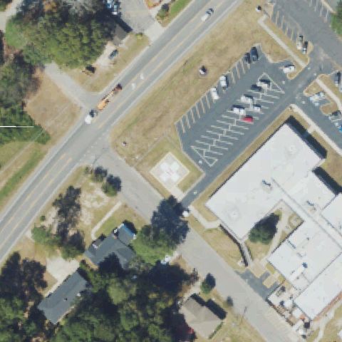 Off-center
ELIZABETHTOWN, NC
34.6226972220001, -78.608730556
Faint square pad with cross marking left of center near road.
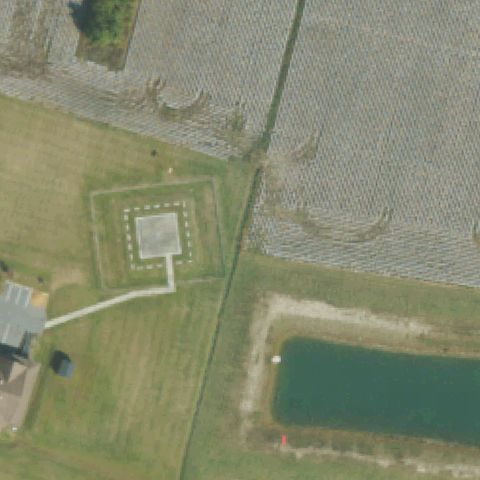 Off-center
ENGELHARD, NC
35.5083333330001, -76.023055556
Outlined square ground pad left of center near rural home and pond.
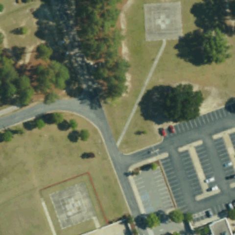 Off-center
GOLDSBORO, NC
35.399448611, -77.954166667
Cross-marked pad upper area off center, with a second faint pad lower-left.
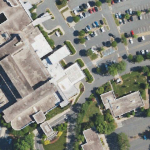 Off-center
ALBEMARLE, NC
35.3643555560001, -80.194197222
Rooftop pad with cross marking sits left of image center.
 Off-center
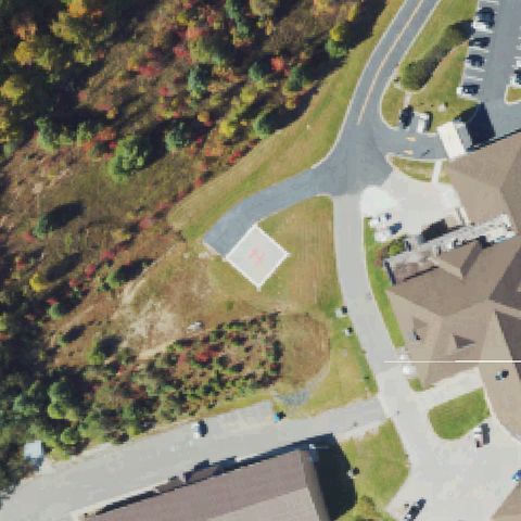
BANNER ELK, NC
36.0608222220001, -81.890311111
H-marked pad on a cleared slope is left of image center.
 Off-center
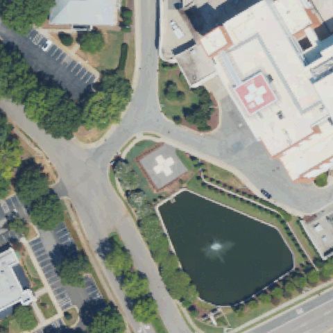
CARY, NC
35.739263889, -78.7827833329999
Cross-marked pad on lawn sits below image center near parking.
 Off-center
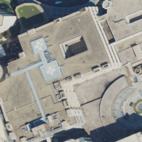
DURHAM, NC
36.0070388890001, -78.937333333
Two cross-marked rooftop pads sit left of image center on a large building.
 Off-center
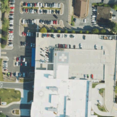
HENDERSONVILLE, NC
35.3214055560001, -82.467238889
Cross-marked rooftop pad sits right of image center on hospital roof.
 Off-center
MURPHY, NC
35.0719472220001, -83.968072222
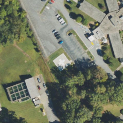
Cross-marked pad on grass sits left of image center near sewage tanks.
 Off-center
PINEHURST, NC
35.204986111, -79.458186111
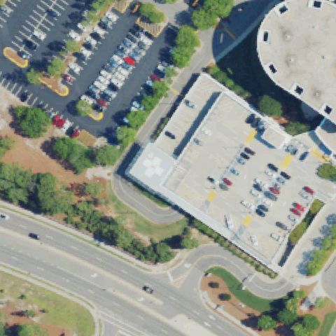
Cross-marked rooftop pad sits left of image center on parking deck building.
 Off-center
HUNTERSVILLE, NC
35.4067972220001, -80.859072222
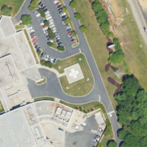
Square pad with white cross marking present but sits below the image center.
 Off-center
NEW BERN, NC
35.1153527500001, -77.064271472
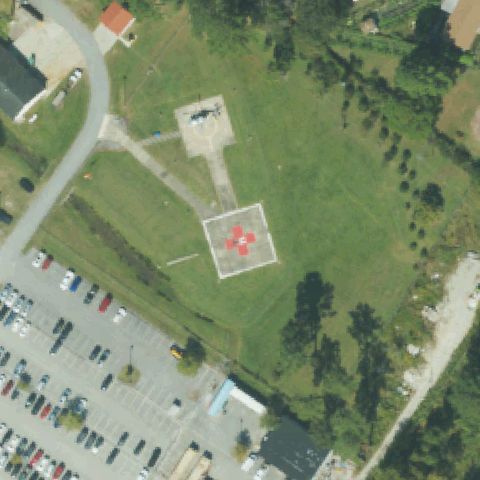
Pad with red cross and H present but located below the image center.
 Off-center
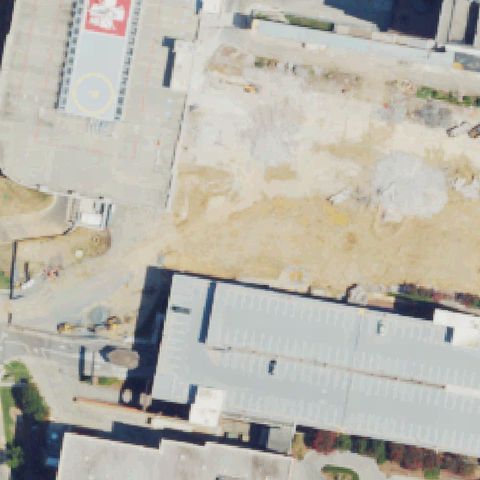
WINSTON-SALEM, NC
36.0895722220001, -80.270325
A marked rooftop pad with H and yellow circle is present but sits in the upper-left corner, not center.
 Off-center
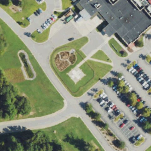
CLAYTON, NC
35.6302700000001, -78.5039199999999
Square pad with white cross marking present but below the image center.
 Off-center
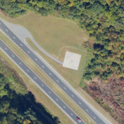
BRYSON CITY, NC
35.391111111, -83.584722222
A white square pad beside a highway is present but right of the image center.
 Off-center
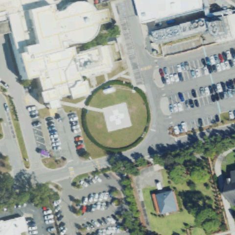
WILMINGTON, NC
34.2042872220001, -77.919951528
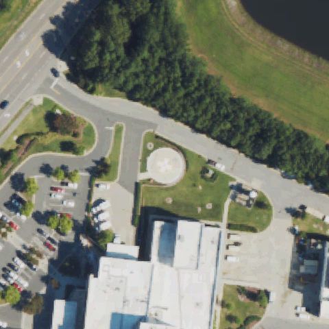
Circular hospital pad with cross marking visible but below-left of center.
 Off-center
RALEIGH, NC
35.909938889, -78.597658333
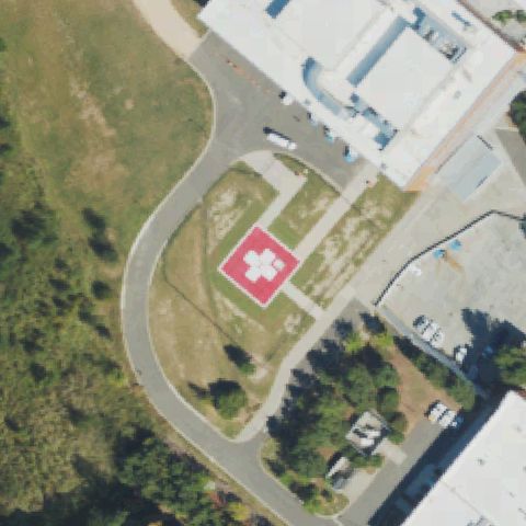
Circular pad with cross marking sits lower-left of center.
 Off-center
HILLSBOROUGH, NC
36.0364250000001, -79.092266667
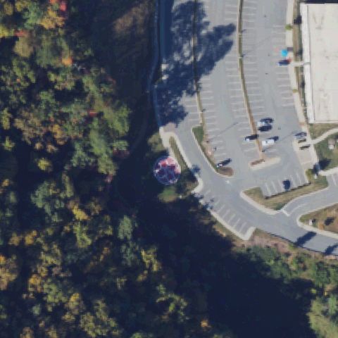
Red square pad with white cross visible below-left of center.
 Off-center
CHEROKEE, NC
35.483192806, -83.3246745559999
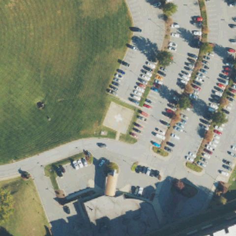
Red circular pad with markings visible below-left of center near the lot.
 Off-center
CLYDE, NC
35.5260665000001, -82.943226
Square pad with cross marking visible left of center beside the parking lot.
 Off-center
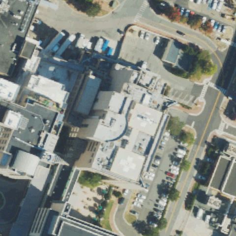
CHAPEL HILL, NC
35.9046000280001, -79.049113333
Rooftop pad with cross marking visible lower-center on a hospital building.
 Uncertain
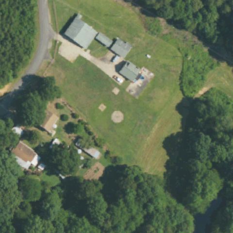
GASTONIA, NC
35.2851805560001, -81.243405556
Rural homestead with a faint circular mark below center but no clear pad.
 Uncertain
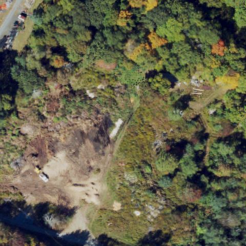
BANNER ELK, NC
36.1686444440001, -81.818019444
Low-res forest and dirt clearing at center with no visible pad.
 Uncertain
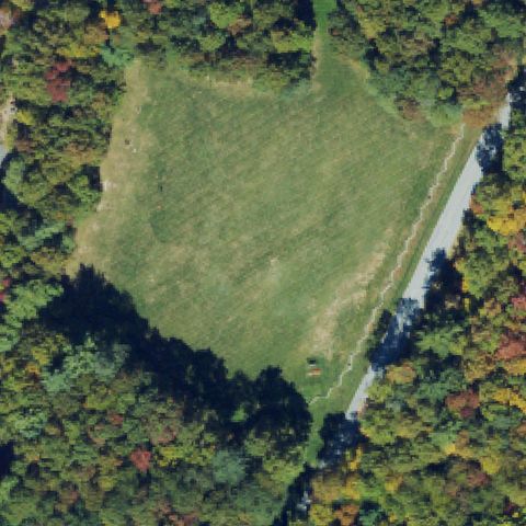
CASHIERS, NC
35.157686111, -83.067005556
Low-res grass clearing surrounded by trees with no marked pad at center.
 Uncertain
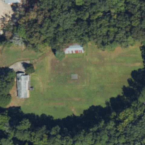
DURHAM, NC
35.922333333, -78.9880555559999
Rural field with a faint dark square at center but no clear pad markings.
 Uncertain
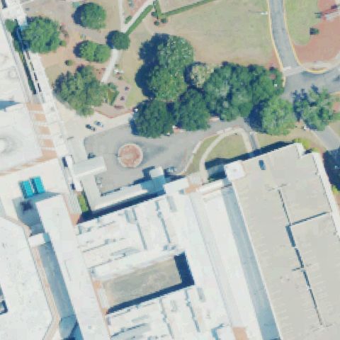
FAYETTEVILLE, NC
35.0317944440001, -78.932136111
Low-res buildings and trees with a faint round feature but no clear pad at center.
 Uncertain
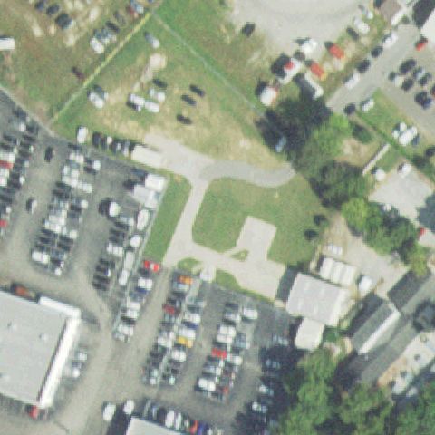
FAYETTEVILLE, NC
35.081111111, -78.9458333329999
Low-res lot and grass at center with no clear landing pad.
 Uncertain
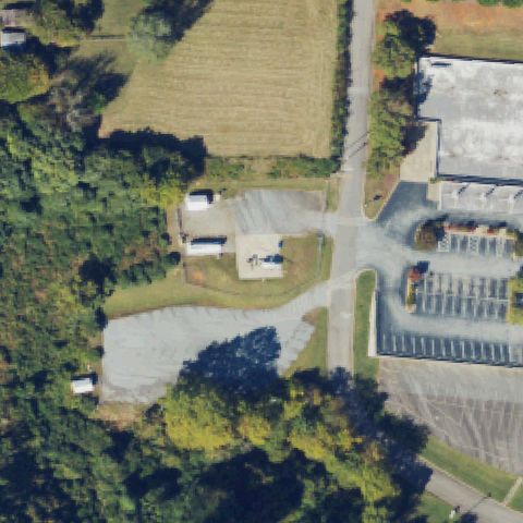
FRANKLIN, NC
35.184547222, -83.380036111
Low-res building and parking at center with no visible marked pad.
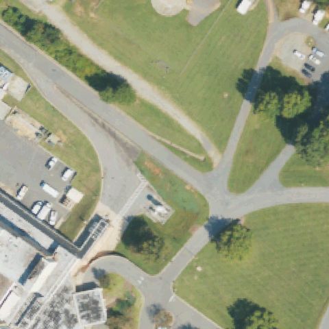 Uncertain
MORGANTON, NC
35.726936111, -81.653516667
Roads and lawn at center; a faint round feature at top edge but no pad at center.
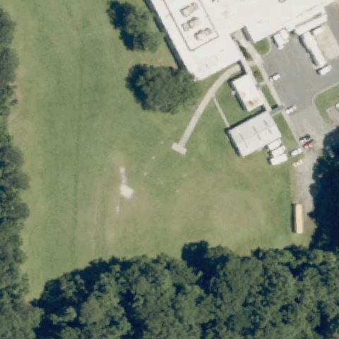 Uncertain
PLYMOUTH, NC
35.8619972220001, -76.7297444439999
Center is an open grass field with only a faint light patch and no pad markings.
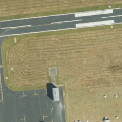 Uncertain
TARBORO, NC
35.936545278, -77.5499719439999
Airport scene; center is a mowed grass infield with only a small unmarked apron nearby.
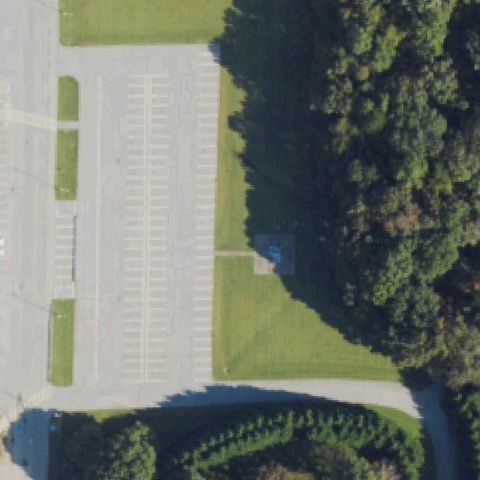 Uncertain
YADKINVILLE, NC
36.1365252780001, -80.646451667
Center is a parking lot edge; a tiny faint marked patch sits off to the side, not at center.
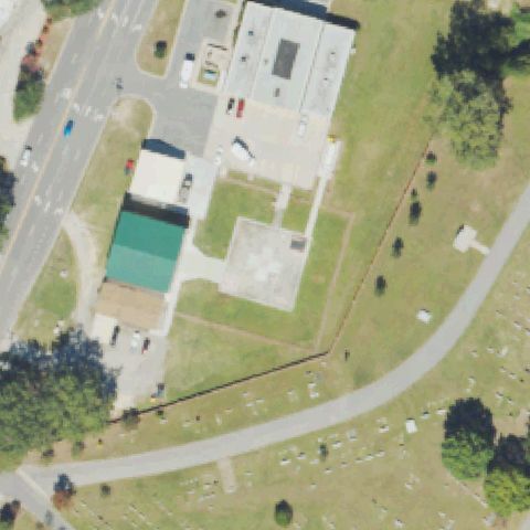 Uncertain
LUMBERTON, NC
34.6390613610001, -79.004384778
A faint slab sits off-center but no clear pad or markings at center.
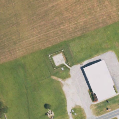 Uncertain
DUNN, NC
35.1969661110001, -78.484660278
A plain light slab off-center left with no clear helipad marking.
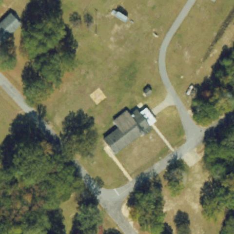 Uncertain
PINETOPS, NC
35.7991666670001, -77.603333333
Residence with a faint slab off-center, no pad marking at center.
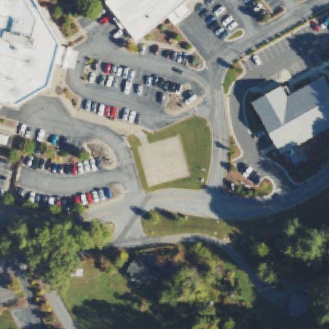 Uncertain
SPRUCE PINE, NC
35.9106555560001, -82.061597222
Hospital parking lots and a bare grass patch but no clear pad marking at center.
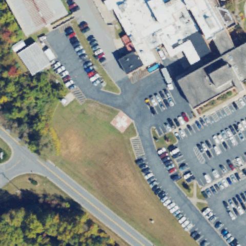 Uncertain
SYLVA, NC
35.3852666670001, -83.2033249999999
Low-resolution tile of hospital and parking, no clear helipad visible.
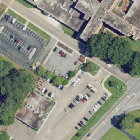 Uncertain
AHOSKIE, NC
36.2846213330001, -76.995536778
Low-resolution tile of parking lots and buildings, no clear helipad.
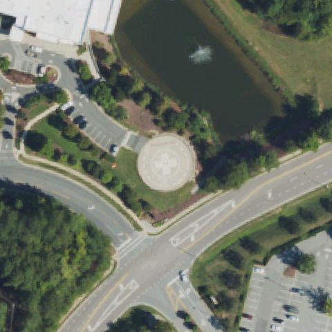 Confirmed
APEX, NC
35.7382027780001, -78.866988889
Circular touchdown pad with cross marking sits at image center between pond and road.
✓ Confirmed by AI vision with Claude Opus 4.8
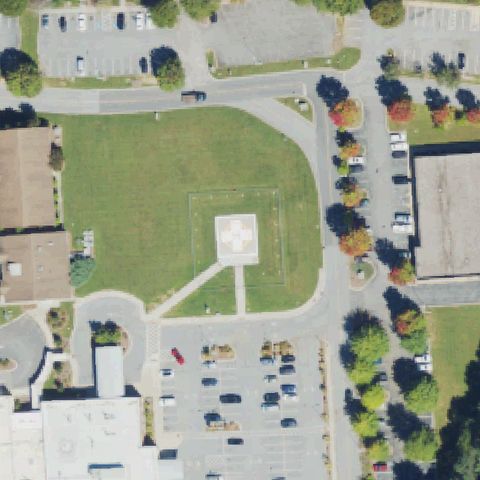 Confirmed
BREVARD, NC
35.2567545000001, -82.710995111
Square pad with cross marking on lawn near image center.
✓ Confirmed by AI vision with Claude Opus 4.8
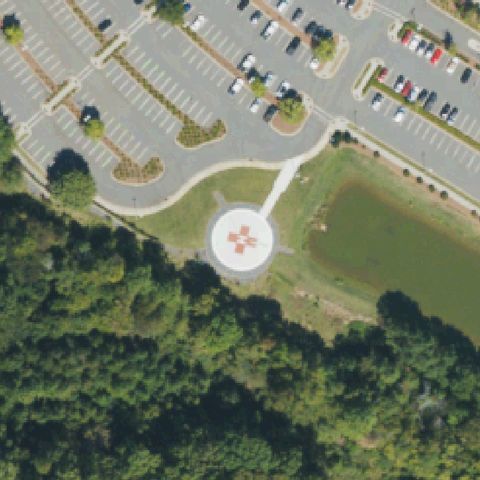 Confirmed
CHARLOTTE, NC
35.0982277780001, -80.992991667
Circular pad with cross marking at image center beside parking and pond.
✓ Confirmed by AI vision with Claude Opus 4.8
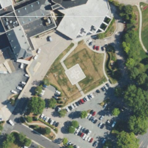 Confirmed
CONCORD, NC
35.435111111, -80.601388889
Pad with cross marking on lawn near image center by the hospital.
✓ Confirmed by AI vision with Claude Opus 4.8
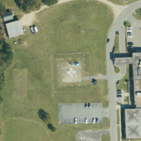 Confirmed
DUNN, NC
35.307491139, -78.636173083
Square pad with cross marking outlined on lawn at image center.
✓ Confirmed by AI vision with Claude Opus 4.8
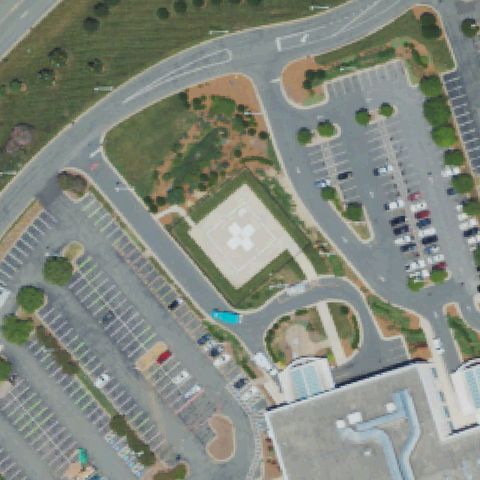 Confirmed
BURLINGTON, NC
36.062336111, -79.502841667
Square pad with cross marking on lawn at image center by parking lots.
✓ Confirmed by AI vision with Claude Opus 4.8
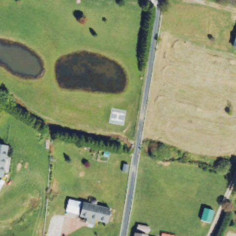 Confirmed
CANDLER, NC
35.503710583, -82.739956306
H-marked ground pad on grass near image center between pond and field.
✓ Confirmed by AI vision with Claude Opus 4.8
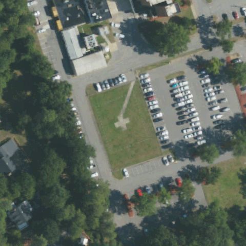 Confirmed
CLINTON, NC
35.0059166670001, -78.324125
Cross-marked pad on grass near image center surrounded by parking.
✓ Confirmed by AI vision with Claude Opus 4.8
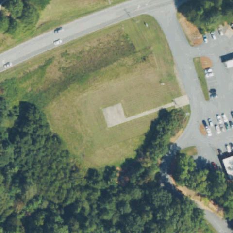 Confirmed
COLUMBUS, NC
35.2411222220001, -82.2146222219999
Distinct unmarked rectangular concrete pad on grass at image center.
✓ Confirmed by AI vision with Claude Opus 4.8
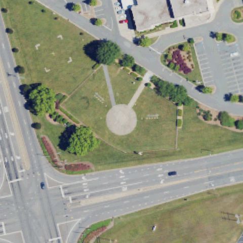 Confirmed
EDEN, NC
36.493644444, -79.739858333
Circular gravel pad at image center on lawn, no clear markings.
✓ Confirmed by AI vision with Claude Opus 4.8
 Confirmed
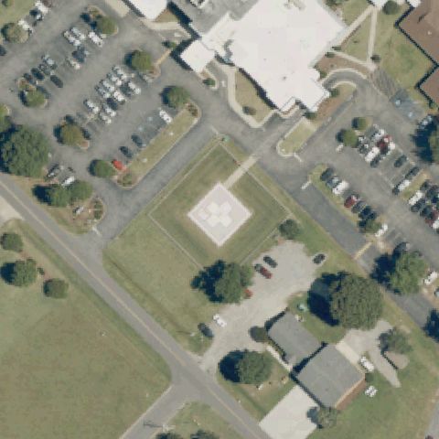
EDENTON, NC
36.0690788060001, -76.611287722
Square pad with cross marking on lawn at image center by the hospital.
✓ Confirmed by AI vision with Claude Opus 4.8
 Confirmed
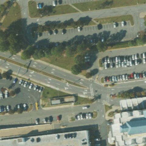
GREENVILLE, NC
35.608761111, -77.40525
Circular pad with cross marking at image center ringed by parking.
✓ Confirmed by AI vision with Claude Opus 4.8
 Confirmed
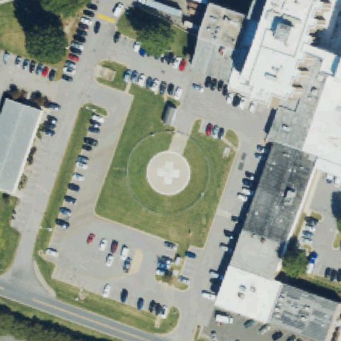
HENDERSON, NC
36.330580556, -78.450247222
Circular pad with cross marking on lawn at image center.
✓ Confirmed by AI vision with Claude Opus 4.8
 Confirmed
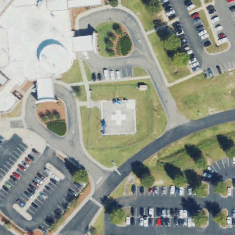
LAURINBURG, NC
34.752784611, -79.468495417
Square pad with cross marking on lawn at image center.
✓ Confirmed by AI vision with Claude Opus 4.8
 Confirmed
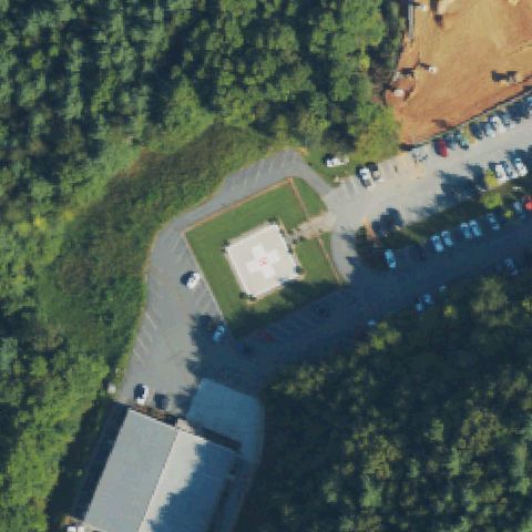
MARION, NC
35.662438611, -82.029416611
Square pad with cross marking near image center beside parking.
✓ Confirmed by AI vision with Claude Opus 4.8
 Confirmed
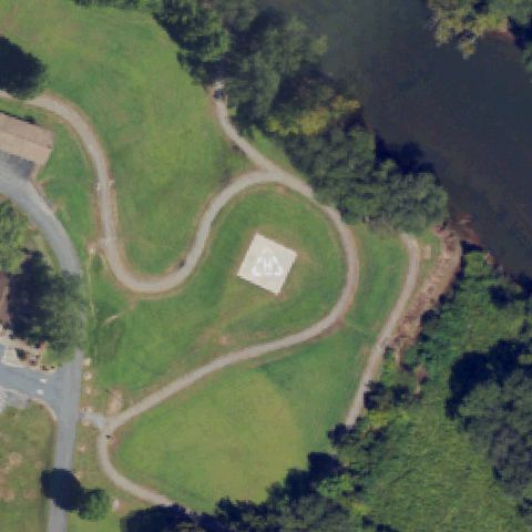
MURPHY, NC
35.079525, -84.029180556
Square ground pad with cross marking near image center by river and parking.
✓ Confirmed by AI vision with Claude Opus 4.8
 Confirmed
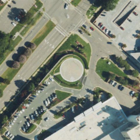
RALEIGH, NC
35.7860111110001, -78.588725
A large circular concrete touchdown pad sits at the image center.
✓ Confirmed by AI vision with Claude Opus 4.8
 Confirmed
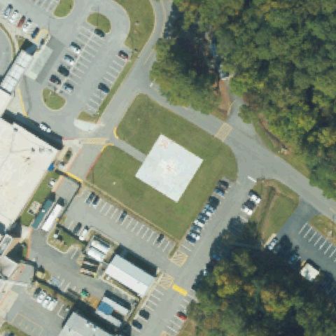
ROANOKE RAPIDS, NC
36.4321097500001, -77.645098167
Square concrete pad with faint H marking near image center.
✓ Confirmed by AI vision with Claude Opus 4.8
 Confirmed
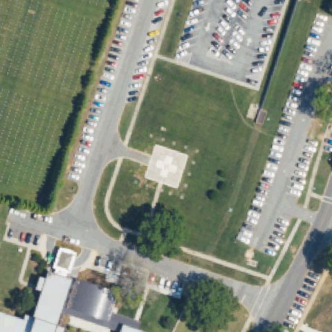
SALISBURY, NC
35.6834250000001, -80.4907527779999
Square pad with white cross/H marking at center on hospital grounds.
✓ Confirmed by AI vision with Claude Opus 4.8
 Confirmed
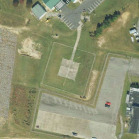
SCOTLAND NECK, NC
36.128211111, -77.429169444
Square pad with cross marking centered within a graded landing area.
✓ Confirmed by AI vision with Claude Opus 4.8
 Confirmed
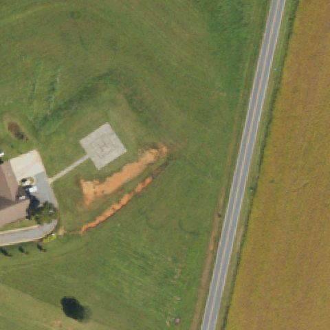
HICKORY, NC
35.6283333330001, -81.3749999999999
Square concrete pad with painted H marking near center beside a farmhouse.
✓ Confirmed by AI vision with Claude Opus 4.8
 Confirmed
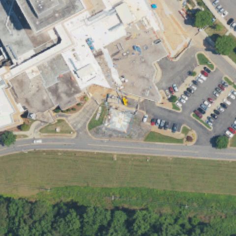
HICKORY, NC
35.713027778, -81.2667499999999
A square prepared pad sits center amid active hospital construction, partly obscured.
✓ Confirmed by AI vision with Claude Opus 4.8
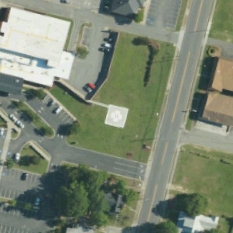 Confirmed
KENANSVILLE, NC
34.9647610000001, -77.960863361
Square pad with red H marking at the image center.
✓ Confirmed by AI vision with Claude Opus 4.8
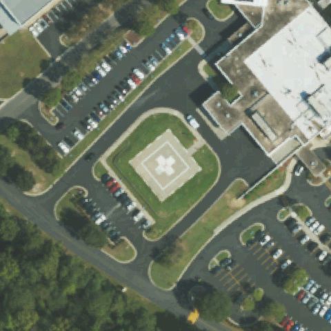 Confirmed
KINSTON, NC
35.2899184720001, -77.5844135
Square pad with white cross/H marking centered on hospital lawn.
✓ Confirmed by AI vision with Claude Opus 4.8
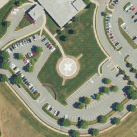 Confirmed
LINCOLNTON, NC
35.488472222, -81.2039444439999
Circular pad with white H marking at the image center.
✓ Confirmed by AI vision with Claude Opus 4.8
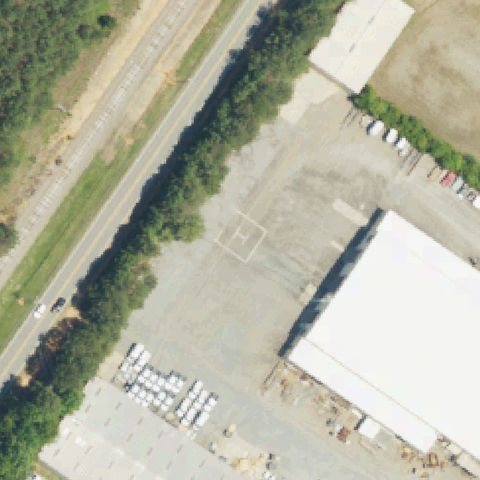 Confirmed
MOORESVILLE, NC
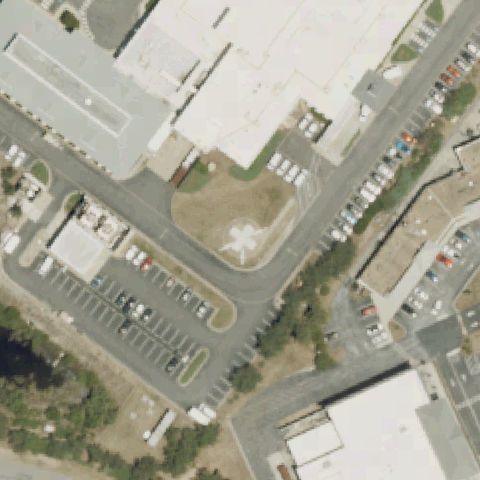
35.563088889, -80.830763889
Faint painted square with possible H on a gravel lot near center, low confidence.
✓ Confirmed by AI vision with Claude Opus 4.8
 Confirmed
NAGS HEAD, NC
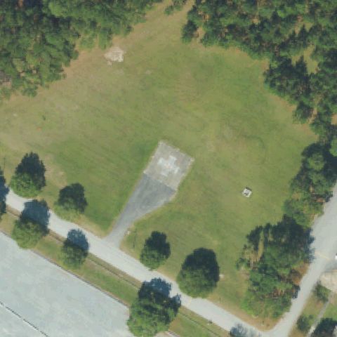
35.939162222, -75.6179299999999
Square pad with white cross marking near center beside hospital.
✓ Confirmed by AI vision with Claude Opus 4.8
 Confirmed
NEW BERN, NC
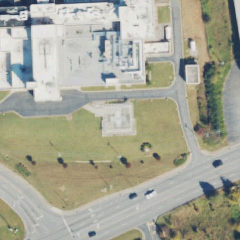
35.2146361110001, -77.118244444
Rectangular concrete pad with faint H marking at center in a grass clearing.
✓ Confirmed by AI vision with Claude Opus 4.8
 Confirmed
NORTH WILKESBORO, NC
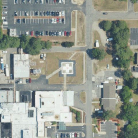
36.158813889, -81.157569444
Faint square concrete pad with markings at center near hospital building.
✓ Confirmed by AI vision with Claude Opus 4.8
 Confirmed
ROCKINGHAM, NC
34.929238889, -79.7489416669999
Square pad with red cross/H marking at the image center.
✓ Confirmed by AI vision with Claude Opus 4.8
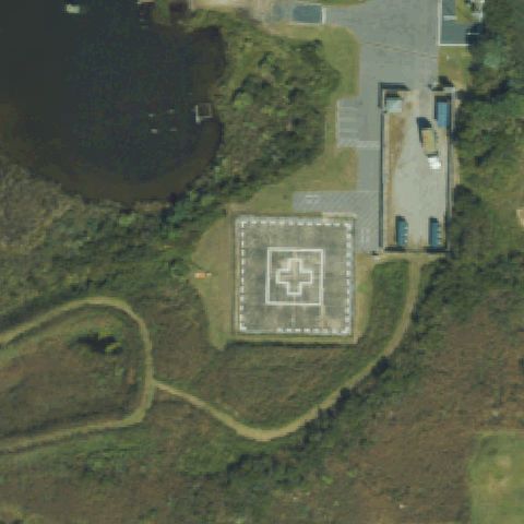 Confirmed
RODANTHE, NC
35.59475, -75.470055556
Square pad with white cross/H marking at center near a pond.
✓ Confirmed by AI vision with Claude Opus 4.8
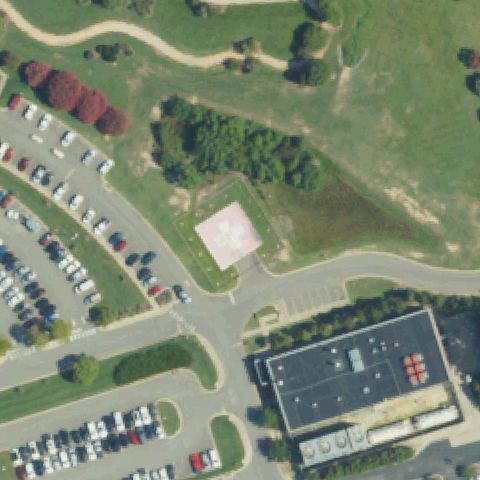 Confirmed
SMITHFIELD, NC
35.5156388890001, -78.333463889
Square pad with white cross/H marking at the image center.
✓ Confirmed by AI vision with Claude Opus 4.8
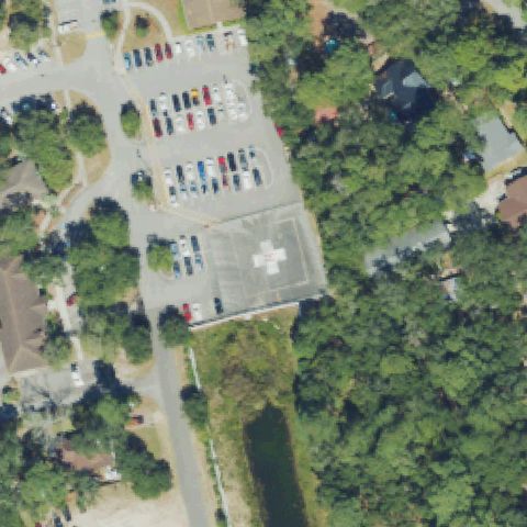 Confirmed
SOUTHPORT, NC
33.9280833330001, -78.0203888889999
Low-res tile shows a square pad with white cross marking near center.
✓ Confirmed by AI vision with Claude Opus 4.8
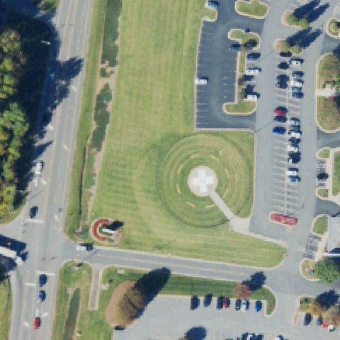 Confirmed
STATESVILLE, NC
35.8184166670001, -80.830416667
Circular pad with white cross/H marking at the image center.
✓ Confirmed by AI vision with Claude Opus 4.8
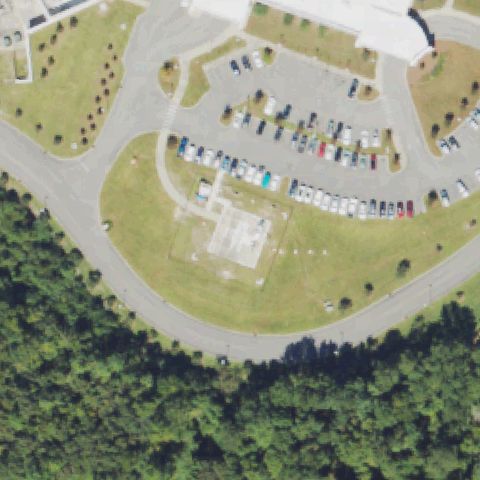 Confirmed
SUPPLY, NC
34.0299477780001, -78.2605652779999
A faint prepared square pad sits center but markings are unclear, possibly under construction.
✓ Confirmed by AI vision with Claude Opus 4.8
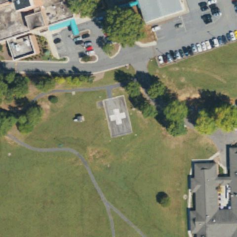 Confirmed
VALDESE, NC
35.746927778, -81.522652778
Square pad with white cross/H marking at the image center.
✓ Confirmed by AI vision with Claude Opus 4.8
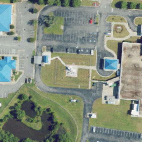 Confirmed
WINDSOR, NC
35.988666611, -76.929242361
A small marked pad sits near center with a helicopter visible nearby on hospital grounds.
✓ Confirmed by AI vision with Claude Opus 4.8
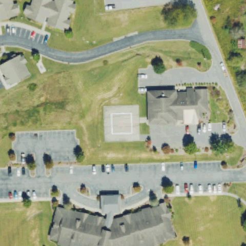 Confirmed
BURNSVILLE, NC
35.917027778, -82.332666667
Square concrete pad with white outline/H marking near center beside the facility.
✓ Confirmed by AI vision with Claude Opus 4.8
 Confirmed
LILLINGTON, NC
35.4259592500001, -78.809447639
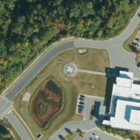
Circular pad with white cross/H marking near the image center.
✓ Confirmed by AI vision with Claude Opus 4.8
 Confirmed
RAEFORD, NC
35.021944444, -79.148888889
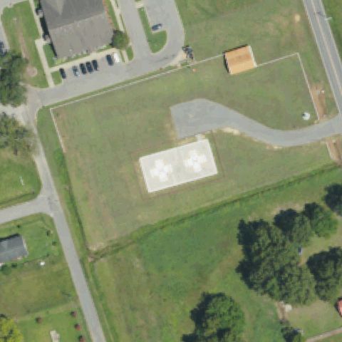
Low-res tile shows a square pad with red/white cross marking near center.
✓ Confirmed by AI vision with Claude Opus 4.8
 Confirmed
ROSEBORO, NC
34.9509722220001, -78.509277778
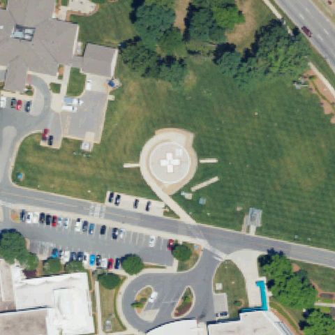
Rectangular dual pad with two white cross markings near the image center.
✓ Confirmed by AI vision with Claude Opus 4.8
 Confirmed
MONROE, NC
34.976669444, -80.522091667
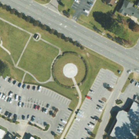
Circular pad with white cross/H marking at the image center.
✓ Confirmed by AI vision with Claude Opus 4.8
 Confirmed
TARBORO, NC
35.922221639, -77.5548223329999
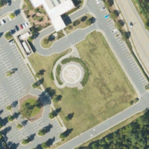
A distinct circular prepared pad ringed by hedge sits at center, markings faint.
✓ Confirmed by AI vision with Claude Opus 4.8
 Confirmed
WAXHAW, NC
34.963055556, -80.7635
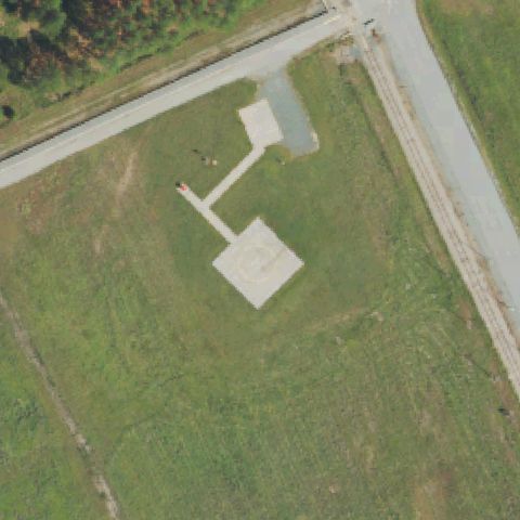
Circular pad with white cross/H marking at the image center.
✓ Confirmed by AI vision with Claude Opus 4.8
 Confirmed
NEW HILL, NC
35.6375152780001, -78.9595668059999
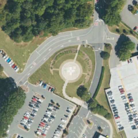
Square concrete pad with circular marking near the image center.
✓ Confirmed by AI vision with Claude Opus 4.8
 Confirmed
GASTONIA, NC
35.2740555560001, -81.1391944439999
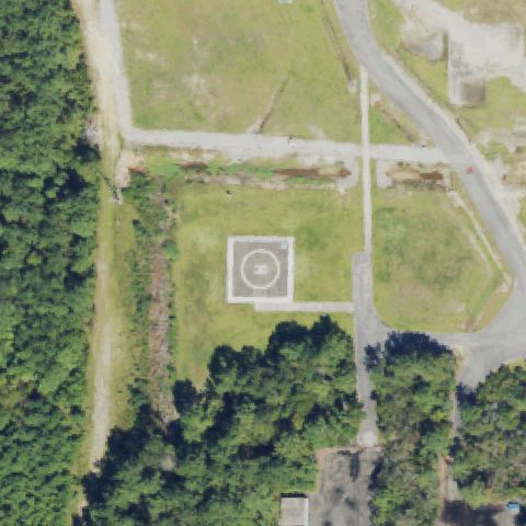
Circular pad with white cross/H marking at the image center.
✓ Confirmed by AI vision with Claude Opus 4.8
 Confirmed
SOUTHPORT, NC
33.9534091670001, -78.012394722
Circular touchdown target marking centered in a prepared clearing.
✓ Confirmed by AI vision with Claude Opus 4.8
 Confirmed
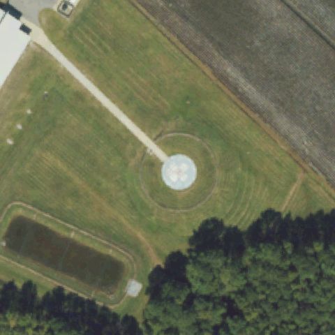
BELHAVEN, NC
35.5502777780001, -76.6238888889999
White circular pad with cross marking near image center.
✓ Confirmed by AI vision with Claude Opus 4.8
 Confirmed
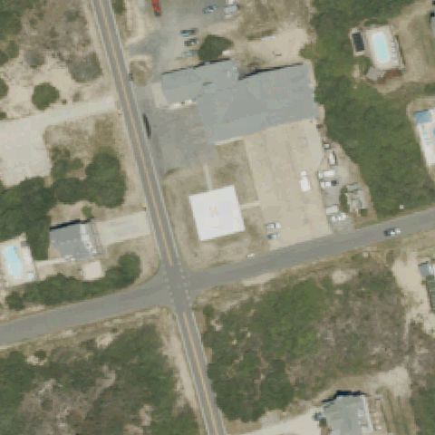
COROLLA, NC
36.331436667, -75.8135677779999
Square pad with painted H near center beside the fire station.
✓ Confirmed by AI vision with Claude Opus 4.8
 Confirmed
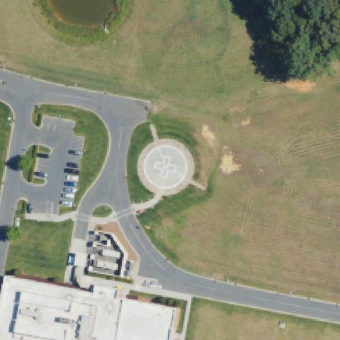
HARRISBURG, NC
35.285888889, -80.6663833329999
Circular hospital pad with cross marking centered in the frame.
✓ Confirmed by AI vision with Claude Opus 4.8
 Confirmed
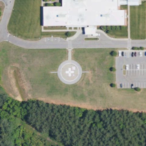
WADESBORO, NC
34.977055556, -80.1102083329999
Circular pad with cross marking centered by the hospital.
✓ Confirmed by AI vision with Claude Opus 4.8
 Confirmed
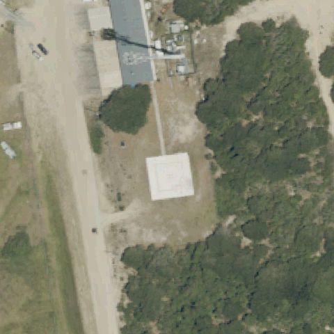
COROLLA, NC
36.5166359720001, -75.865336667
Large prepared white square pad near center at the airfield.
✓ Confirmed by AI vision with Claude Opus 4.8
 Confirmed
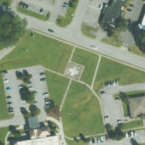
JACKSONVILLE, NC
34.7642380560001, -77.385850972
Square pad with cross marking near center on hospital grounds.
✓ Confirmed by AI vision with Claude Opus 4.8
 Confirmed
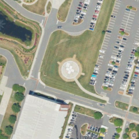
CHARLOTTE, NC
35.093333333, -80.872944444
Circular pad with cross marking centered between hospital and lot.
✓ Confirmed by AI vision with Claude Opus 4.8
 Confirmed
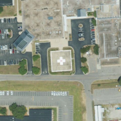
WILSON, NC
35.717422222, -77.9443545829999
Square pad with painted cross marking centered in the frame.
✓ Confirmed by AI vision with Claude Opus 4.8
 Confirmed
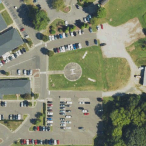
OXFORD, NC
36.326441667, -78.591694444
Circular pad with an I/number marking near center on hospital lawn.
✓ Confirmed by AI vision with Claude Opus 4.8
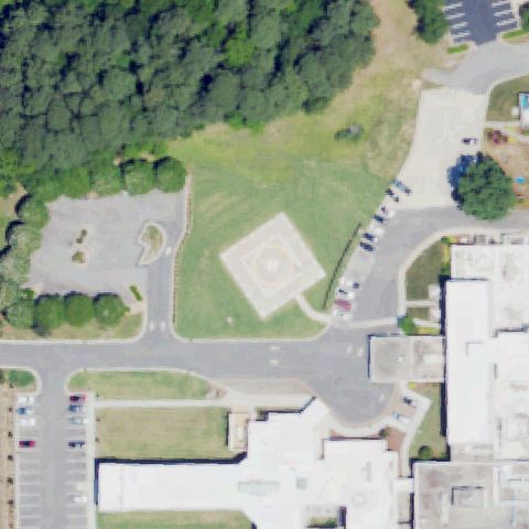 Confirmed
LOUISBURG, NC
36.1126490280001, -78.2943836109999
Square/diamond pad with faint cross marking near center by the hospital.
✓ Confirmed by AI vision with Claude Opus 4.8
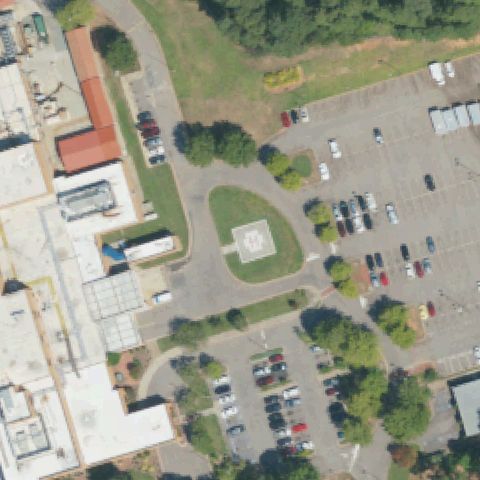 Confirmed
SANFORD, NC
35.4689415280001, -79.186274861
Square pad with cross marking near center by the hospital.
✓ Confirmed by AI vision with Claude Opus 4.8
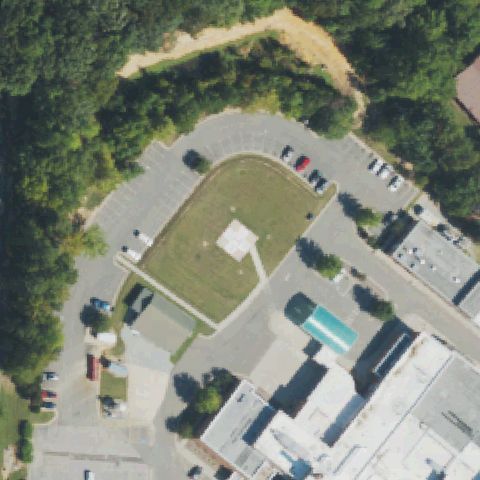 Confirmed
ROXBORO, NC
36.4092008330001, -78.9855733329999
Faint light square pad near center in a grassed area by the hospital.
✓ Confirmed by AI vision with Claude Opus 4.8
 Confirmed
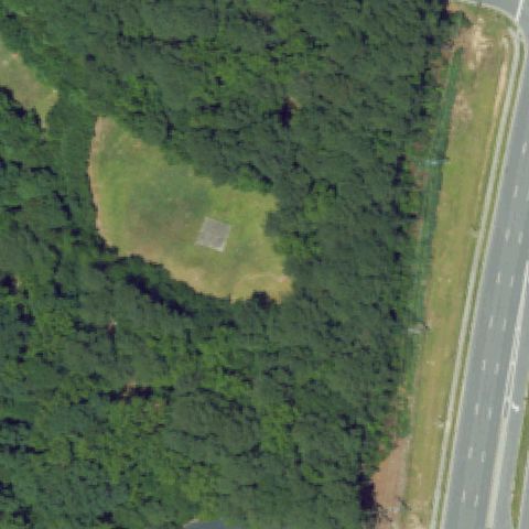
ROCKY MOUNT, NC
35.970833333, -77.850277778
Small light square slab centered in a clearing surrounded by forest.
✓ Confirmed by AI vision with Claude Opus 4.8
 Confirmed
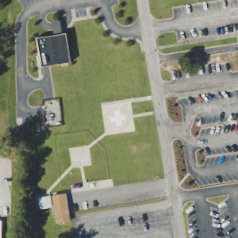
WHITEVILLE, NC
34.337455, -78.696370972
Square pad with cross marking near center on hospital grounds.
✓ Confirmed by AI vision with Claude Opus 4.8
 Confirmed
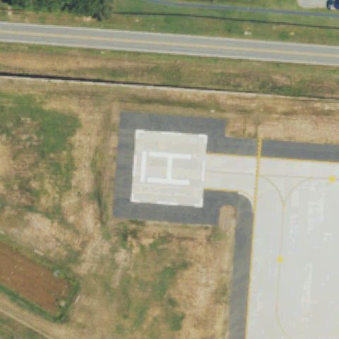
RALEIGH, NC
35.806041667, -78.713158333
White square pad with large painted H near center.
✓ Confirmed by AI vision with Claude Opus 4.8
 Confirmed
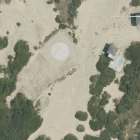
COROLLA, NC
36.4350000000001, -75.843055556
Faint light circular pad near center on a sandy cleared area.
✓ Confirmed by AI vision with Claude Opus 4.8
 Confirmed
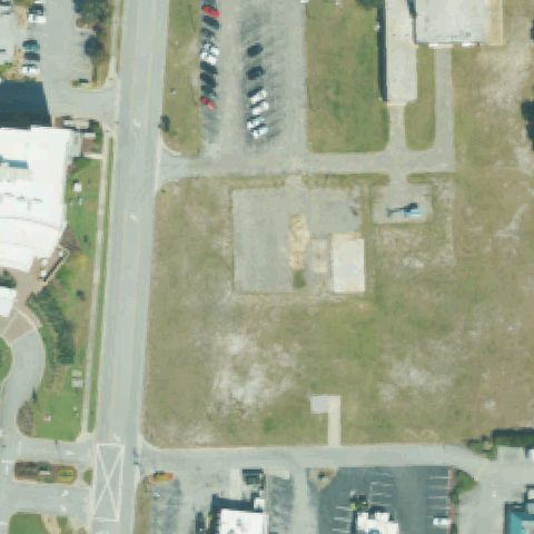
MOREHEAD CITY, NC
34.7258583330001, -76.753141667
Cleared lot with faint square pad near center; a helicopter is parked nearby.
✓ Confirmed by AI vision with Claude Opus 4.8
 Confirmed
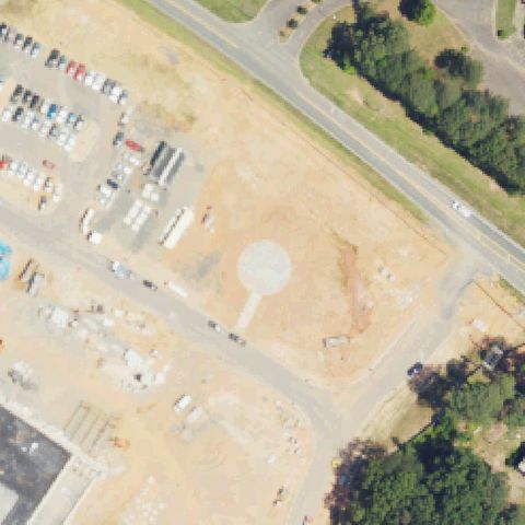
CHARLOTTE, NC
35.0400740000001, -80.841623
Faint light circular pad near center in a sandy construction area.
✓ Confirmed by AI vision with Claude Opus 4.8
 Confirmed
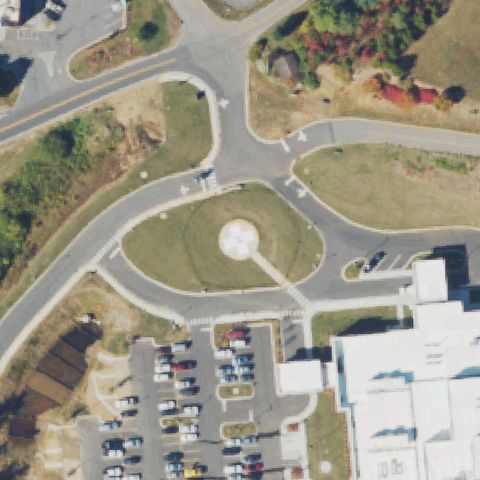
FRANKLIN, NC
35.194200306, -83.359934611
Circular pad with cross marking centered by the medical center.
✓ Confirmed by AI vision with Claude Opus 4.8
 Confirmed
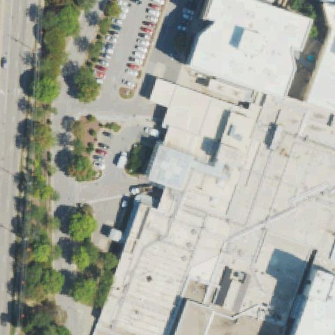
RALEIGH, NC
35.818278972, -78.704122194
Rooftop pad with cross marking near center on the hospital roof.
✓ Confirmed by AI vision with Claude Opus 4.8
 Confirmed
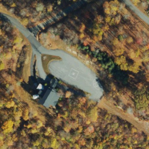
BANNER ELK, NC
36.2034470560001, -81.956149028
Paved area with a faint square touchdown marking near center in wooded terrain.
✓ Confirmed by AI vision with Claude Opus 4.8