 Not visible
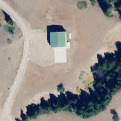
2MT6 Sun River Ranch
AUGUSTA, MT
47.616488889, -112.666472222
Center is a small building/shed roof on a ranch with no pad markings.
80% confidence
Verify on the map →
Is there really a pad here?
Data: FAA Airports (ArcGIS open layer) | Imagery: USGS NAIP (public domain) | AI vision: Claude Opus 4.8 | built 2026-07-05
A flag means a pad could not be confirmed from current imagery - never that a heliport is missing, fake, or mislocated. Help us check: vote on each one below.
Not visibleAUGUSTA, MT
47.616488889, -112.666472222
Center is a small building/shed roof on a ranch with no pad markings.
 Not visible
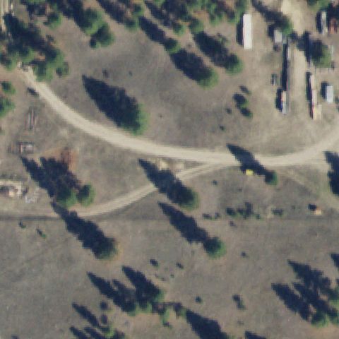
DARBY, MT
46.08, -114.179416667
Center is open dirt/field with trees and a track, no pad.
 Not visible
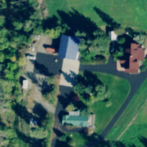
KALISPELL, MT
48.2155138890001, -114.298047222
Center shows residential houses and trees with no pad.
 Not visible
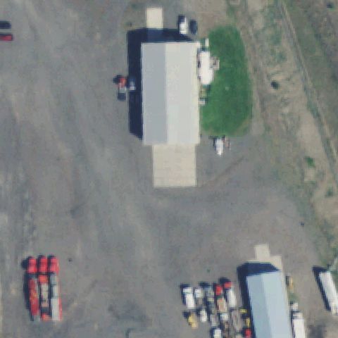
MISSOULA, MT
46.955013889, -114.123075
Center is an industrial building roof and dirt yard, no pad.
 Not visible
REXFORD, MT
48.8595750000001, -115.107441667
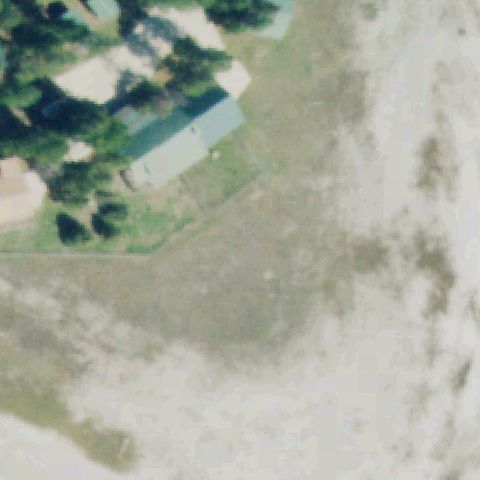
Center is open dirt/field; buildings and trees only in corner.
 Not visible
FORTINE, MT
48.7781944440001, -114.968444444
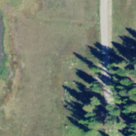
Center is an open green/marsh field with trees, no pad.
 Not visible
HAMILTON, MT
46.206666667, -114.153055556
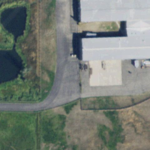
Center is a paved/dirt industrial yard beside a hangar, no pad marking.
 Not visible
PHILIPSBURG, MT
46.3298638890001, -113.29475
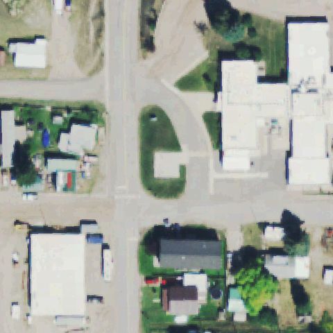
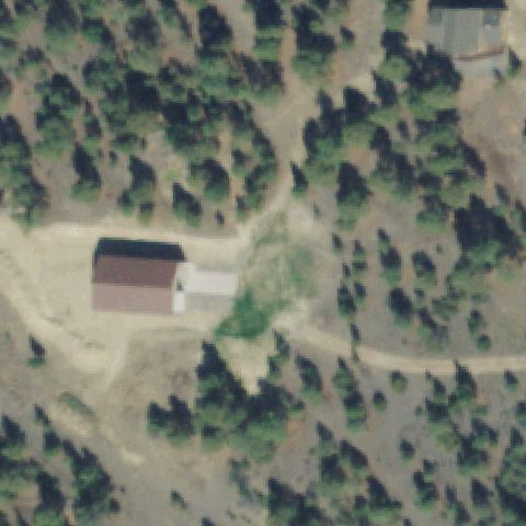
Center is a grassy road island in town, no pad.
 Not visible
HELENA, MT
46.7034722220001, -111.827222222
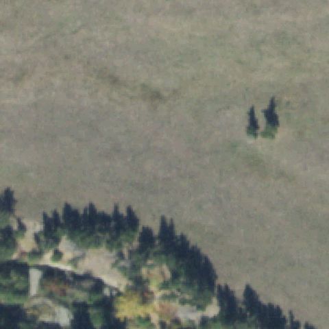
Center is forested terrain with a small cabin, no pad.
 Not visible
CLYDE PARK, MT
45.8991780000001, -110.469951
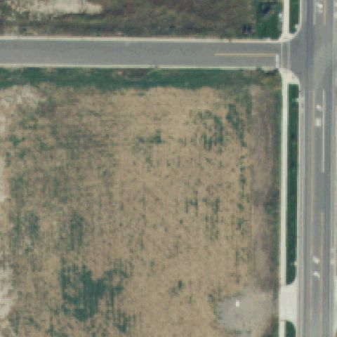
Center is an open grass/scrub field with no pad.
 Not visible
BOZEMAN, MT
45.7289210000001, -111.083102
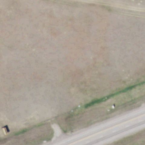
Center is a vacant dirt/weed lot beside a road, no pad.
 Not visible
HARLOWTON, MT
46.438830556, -109.809447222
Center is an empty dirt field beside a road, no pad.
 Not visible
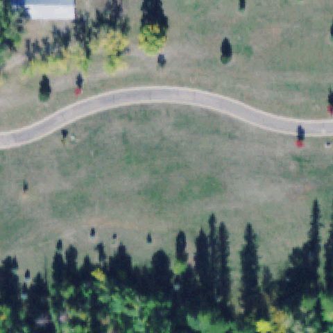
BIGFORK, MT
48.022102778, -113.977455556
Center is an open grass field with a footpath, no pad marking.
 Off-center
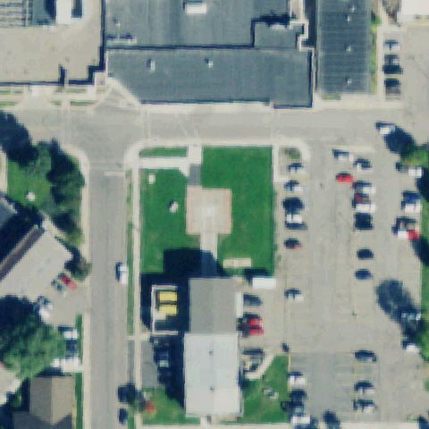
KALISPELL, MT
48.2133138890001, -114.323997222
Faint light rectangle on grass with a small marked pad below center, not centered.
 Off-center
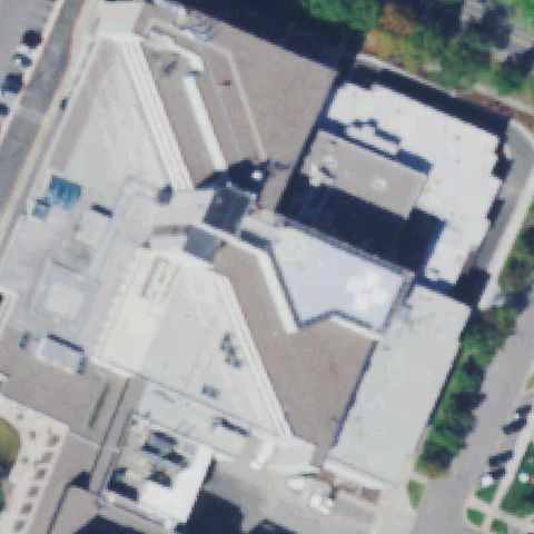
MISSOULA, MT
46.8754555560001, -113.999775
Rooftop pad with faint white cross marking right of center.
 Off-center
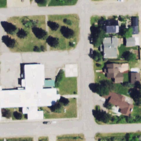
RED LODGE, MT
45.177411111, -109.253475
Light tan square prepared pad on grass slightly off center, no clear marking.
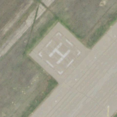 Off-center
GREAT FALLS, MT
47.504666667, -111.187333333
Clear painted H pad present but located left of image center on the apron.
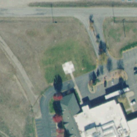 Off-center
PLAINS, MT
47.469091667, -114.888883333
Light square prepared pad with path on grass slightly off center.
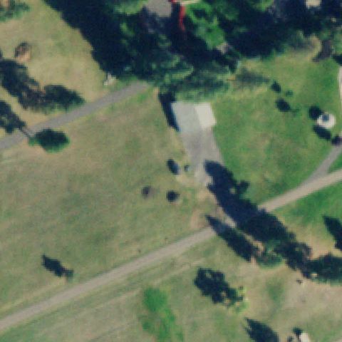 Off-center
SOMERS, MT
48.0511111110001, -114.229444444
Faint light pad just above center near a tree, marking not visible.
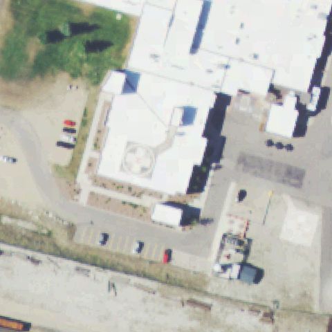 Off-center
ANACONDA, MT
46.132166667, -112.957236111
Rooftop pad with faint circle/cross marking left of center.
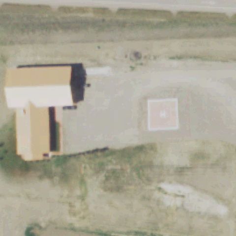 Off-center
GREAT FALLS, MT
47.5450500000001, -111.451075
Light square pad with faint marking right of center on dirt yard.
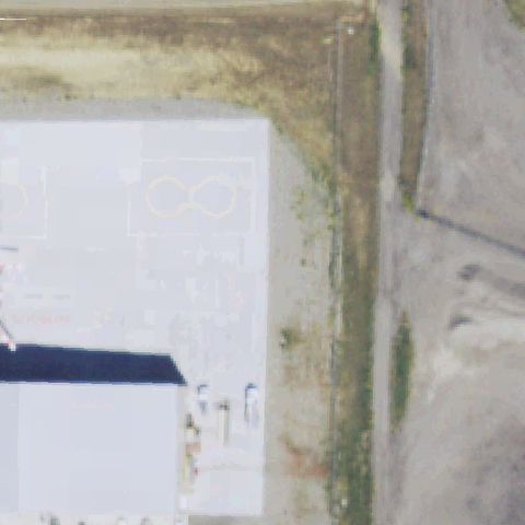 Off-center
BILLINGS, MT
45.809057194, -108.569983056
Painted dumbbell/double-circle helipad markings on a roof left of center.
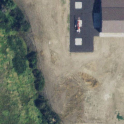 Off-center
HAMILTON, MT
46.2279611110001, -114.157333333
Helicopter parked on a marked pad beside a hangar, upper-right of center.
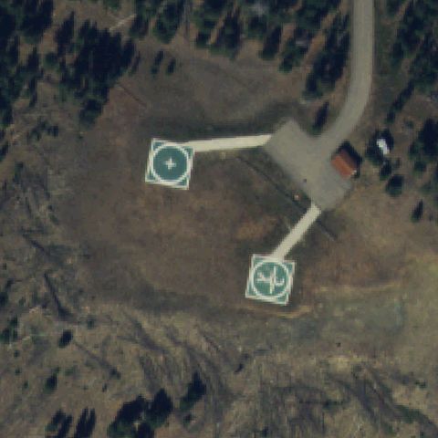 Off-center
ENNIS, MT
45.2430138890001, -111.378130556
Two square pads with circle markings present, both off the exact center.
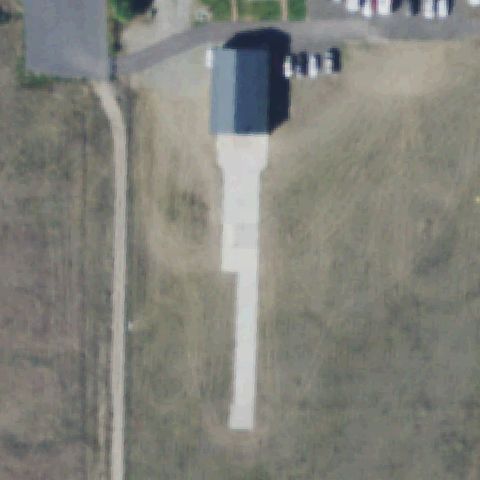 Uncertain
MISSOULA, MT
46.8556888890001, -114.057538889
Center is a long concrete drive/apron below a shed with no pad marking.
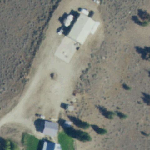 Uncertain
STEVENSVILLE, MT
46.4411111110001, -114.061666667
Center is a bare dirt lot; nearby light area is a building, no pad marking.
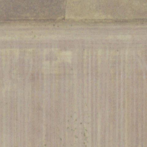 Uncertain
BILLINGS, MT
45.809002778, -108.577019444
Imagery is washed out/obscured; no pad marking discernible at center.
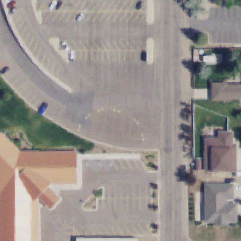 Uncertain
HAVRE, MT
48.5379262500001, -109.684266667
Center is a parking lot with faint painted stripes, no distinct helipad.
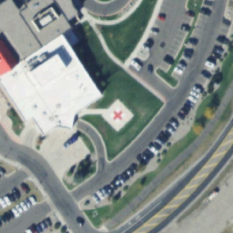 Confirmed
BOZEMAN, MT
45.6691500000001, -111.018525
Square ground pad with a red cross/marking sits at image center.
✓ Confirmed by AI vision with Claude Opus 4.8
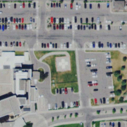 Confirmed
BUTTE, MT
46.0090416670001, -112.544372222
Square pad with white cross marking on grass at center.
✓ Confirmed by AI vision with Claude Opus 4.8
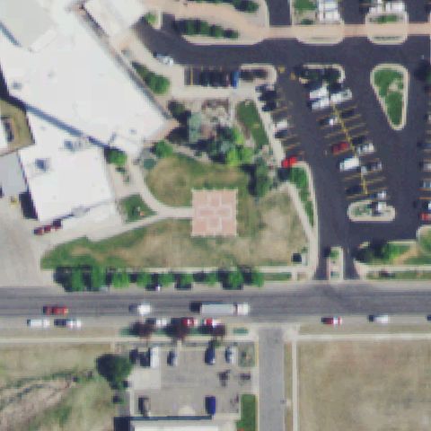 Confirmed
HELENA, MT
46.5816888890001, -111.996063889
Square ground pad with cross marking near center of grassy area.
✓ Confirmed by AI vision with Claude Opus 4.8
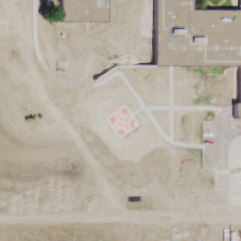 Confirmed
MILES CITY, MT
46.3948611110001, -105.829388889
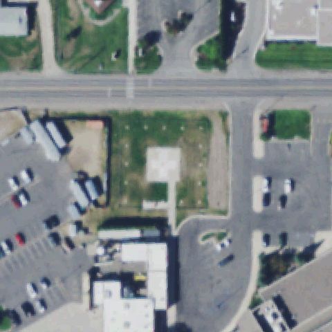
Light square pad with grid marking near center of the lot.
✓ Confirmed by AI vision with Claude Opus 4.8
 Confirmed
MISSOULA, MT
46.8484861110001, -114.047741667
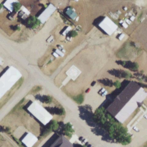
Faint light square prepared pad on grass near center, no clear marking.
✓ Confirmed by AI vision with Claude Opus 4.8
 Confirmed
BIG SANDY, MT
48.1795250000001, -110.10855
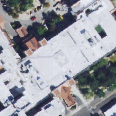
Light square prepared pad with access path near center.
✓ Confirmed by AI vision with Claude Opus 4.8
 Confirmed
BILLINGS, MT
45.7895333330001, -108.512827778
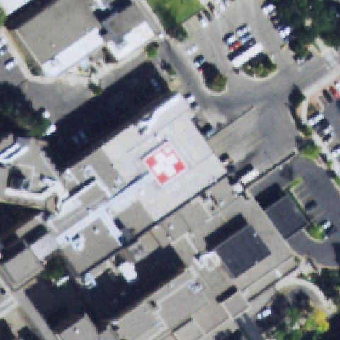
Rooftop with faint cross marking on a pad near center of building.
✓ Confirmed by AI vision with Claude Opus 4.8
 Confirmed
BILLINGS, MT
45.793777778, -108.518583333
Red and white cross-marked rooftop pad near center of building.
✓ Confirmed by AI vision with Claude Opus 4.8
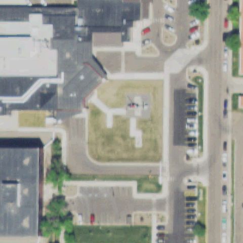 Confirmed
GREAT FALLS, MT
47.4918388890001, -111.2598
A helicopter is parked on a small pad near center of the grassy courtyard.
✓ Confirmed by AI vision with Claude Opus 4.8
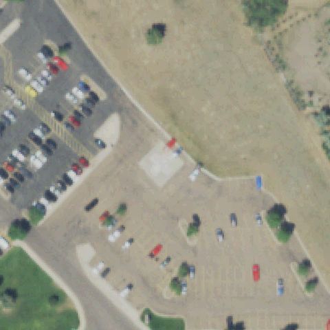 Confirmed
GREAT FALLS, MT
47.4880527780001, -111.296852778
Light square prepared pad on a dirt lot near center, no clear marking.
✓ Confirmed by AI vision with Claude Opus 4.8
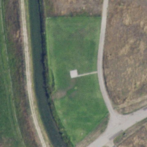 Confirmed
HAMILTON, MT
46.2504166670001, -114.069711111
Small white square pad on a green riverside field near center.
✓ Confirmed by AI vision with Claude Opus 4.8
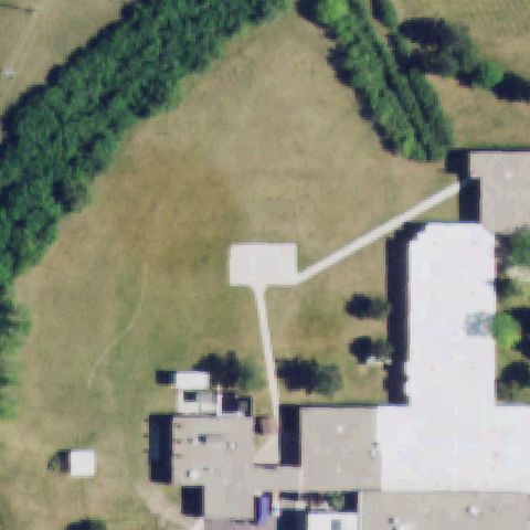 Confirmed
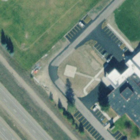
LEWISTOWN, MT
47.0590444440001, -109.444569444
Light square prepared pad with path near center on the lawn.
✓ Confirmed by AI vision with Claude Opus 4.8
 Confirmed
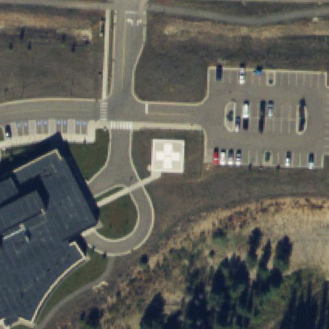
SUPERIOR, MT
47.1856111110001, -114.877458333
Light square prepared pad with path on dirt lot near center.
✓ Confirmed by AI vision with Claude Opus 4.8
 Confirmed
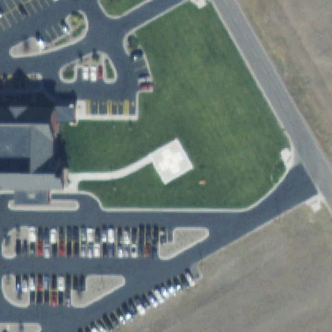
BIG SKY, MT
45.2606277780001, -111.300091667
Square pad with white cross marking near center beside the hospital.
✓ Confirmed by AI vision with Claude Opus 4.8
 Confirmed
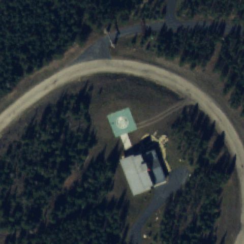
LIVINGSTON, MT
45.675005556, -110.525330556
Light square pad with white cross marking near center on grass.
✓ Confirmed by AI vision with Claude Opus 4.8
 Confirmed
BIG SKY, MT
45.2288888890001, -111.375716667
Green square pad with circle marking near center in forest clearing.
✓ Confirmed by AI vision with Claude Opus 4.8