 Not visible
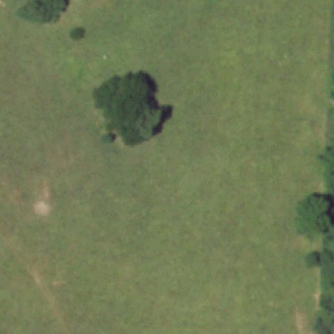
MU47 Nemo Coal Company
CAIRO, MO
39.5003108330001, -92.516295
Center is open grass field with scattered trees, no pad.
90% confidence
Verify on the map →
Is there really a pad here?
Data: FAA Airports (ArcGIS open layer) | Imagery: USGS NAIP (public domain) | AI vision: Claude Opus 4.8 | built 2026-07-05
A flag means a pad could not be confirmed from current imagery - never that a heliport is missing, fake, or mislocated. Help us check: vote on each one below.
Not visibleCAIRO, MO
39.5003108330001, -92.516295
Center is open grass field with scattered trees, no pad.
 Not visible
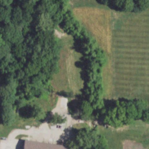
EUREKA, MO
38.443941667, -90.607069444
Center is brush, trees and a field, no pad.
 Not visible
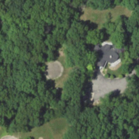
MOBERLY, MO
39.4125352780001, -92.462125833
Center is dense forest; a circular clearing left of center has no pad markings.
 Not visible
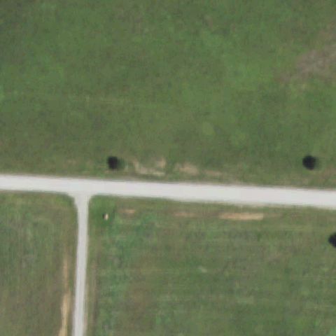
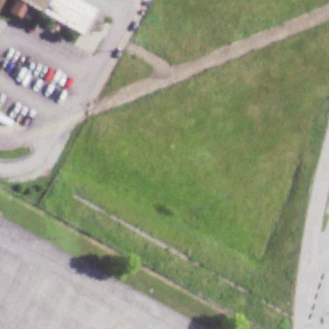
NEVADA, MO
37.816705278, -94.300225556
Open grass field with a dirt track and no pad at center.
 Not visible
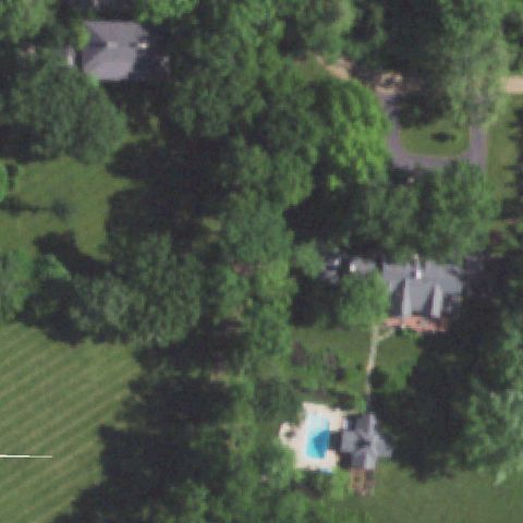
ST LOUIS, MO
38.693661944, -90.2695572219999
Open mowed grass field with no pad or markings at center.
 Not visible
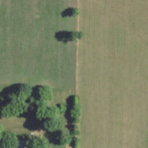
ST LOUIS, MO
38.6217188890001, -90.389006111
Dense forest and residential lots at center with no pad.
 Not visible
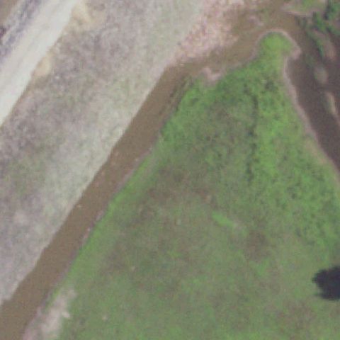
SPRINGFIELD, MO
37.220881111, -93.138515556
Open agricultural field at center with no pad or markings.
 Not visible
WEST ALTON, MO
38.8631038890001, -90.1570530559999
Riverbank with brown water and scrub vegetation; no pad at center.
 Not visible
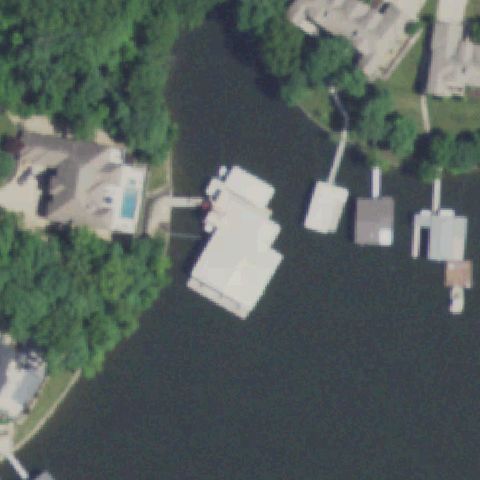
SUNRISE BEACH, MO
38.1727527780001, -92.642544444
Lakefront with boathouses and docks; no helipad marking visible.
 Not visible
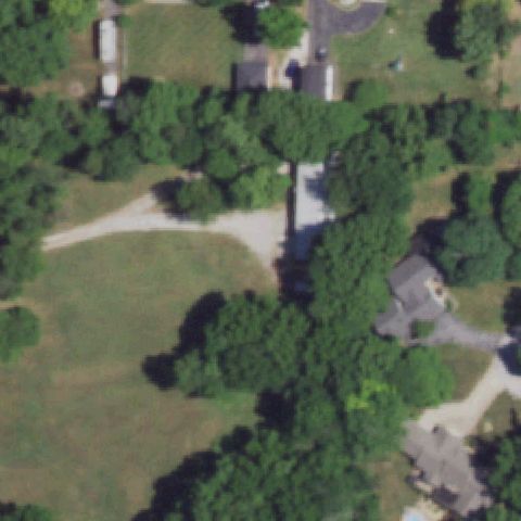
SPRINGFIELD, MO
37.1188750000001, -93.266055556
Center is dense forest and lawn with no pad of any kind visible.
 Not visible
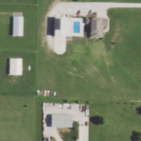
GRAIN VALLEY, MO
39.0411722220001, -94.199369444
Center shows a residential property with pool and lawn, no helicopter pad.
 Not visible
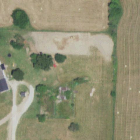
LEBANON, MO
37.7213055560001, -92.6768
Center is a bare dirt/gravel field with vegetation, no prepared pad visible.
 Not visible
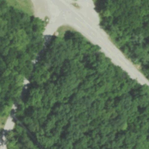
KANSAS CITY, MO
39.0430000000001, -94.486
Center is dense forest with a road, no pad visible; imagery may predate construction.
 Not visible
KANSAS CITY, MO
39.0413888890001, -94.469166667
Imagery is blurry/washed-out tan with no discernible features or pad.
 Not visible
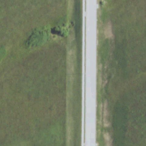
BETHANY, MO
40.2753000000001, -94.014797222
Center is a grass field bisected by a paved strip with no helicopter pad.
 Off-center
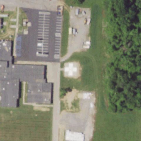
DEXTER, MO
36.8073694440001, -89.967402778
White pad with cross marking visible left of center.
 Off-center
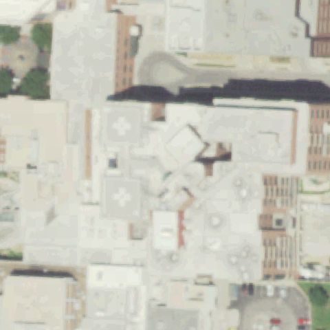
KANSAS CITY, MO
39.0836555560001, -94.5769194439999
Rooftop cross-marked pad visible left of center in dense downtown.
 Off-center
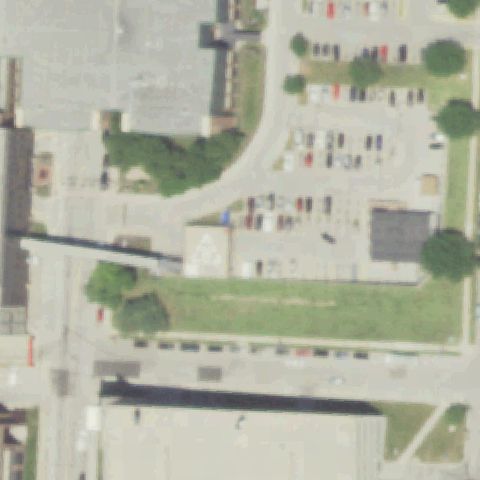
KANSAS CITY, MO
39.084166667, -94.574166667
Rooftop pad with triangle/H marking left of center.
 Off-center
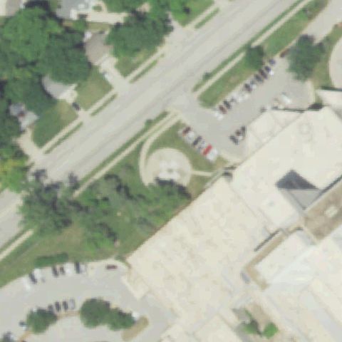
KANSAS CITY, MO
39.007483333, -94.578208333
Round marked pad visible left of center near hospital building.
 Off-center
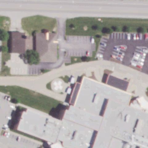
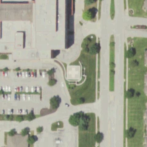
LAKE SAINT LOUIS, MO
38.8032805560001, -90.776258333
White pad with flower/H marking just left of center.
 Off-center
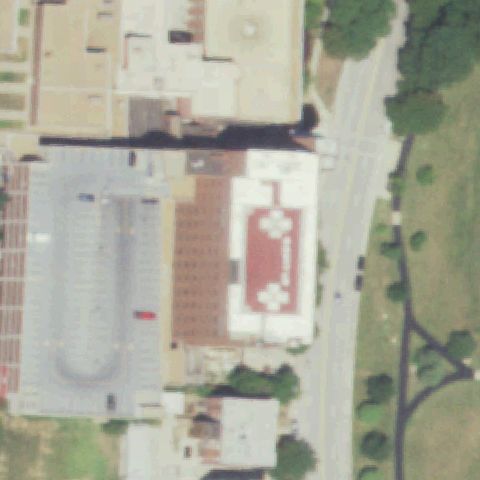
KANSAS CITY, MO
39.248475, -94.64755
Rooftop pad with cross marking left of center at hospital.
 Off-center
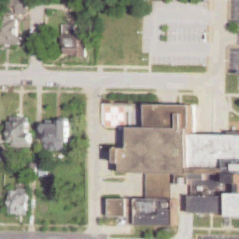
KANSAS CITY, MO
39.0464388890001, -94.589202778
Red rooftop pad with white cross markings left of center.
 Off-center
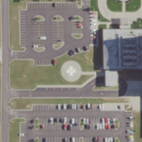
MEXICO, MO
39.172741667, -91.878936111
Red-and-white H pad on a small rooftop left of image center.
 Off-center
POPLAR BLUFF, MO
36.787077778, -90.4445111109999
Round pad with white cross marking sits below-left of image center.
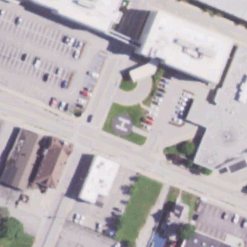 Off-center
ST CHARLES, MO
38.7808277780001, -90.485452778
White H painted on a ground pad below image center.
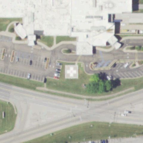 Off-center
ST GENEVIEVE, MO
37.9687083330001, -90.054222222
White pad with cross marking below-left of image center.
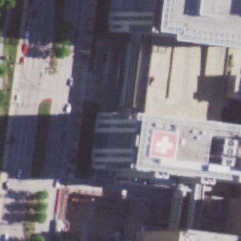 Off-center
ST LOUIS, MO
38.636383333, -90.2657
Red rooftop pad with white cross marking right of image center.
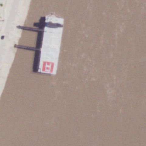 Off-center
ST LOUIS, MO
38.625130556, -90.182494444
Red-and-white H pad on a barge structure left of center over water/mudflat.
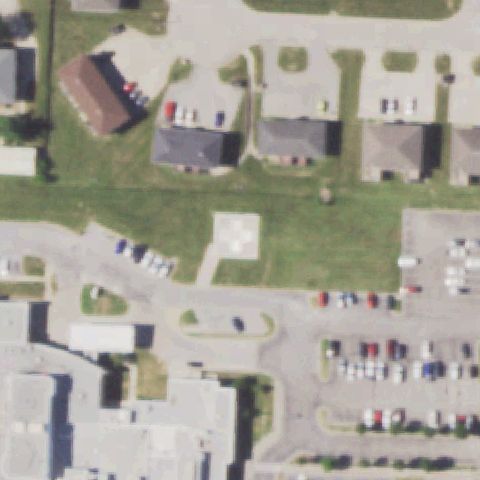 Off-center
WARRENSBURG, MO
38.7668305560001, -93.721825
Small white pad with marking on grass below-left of image center.
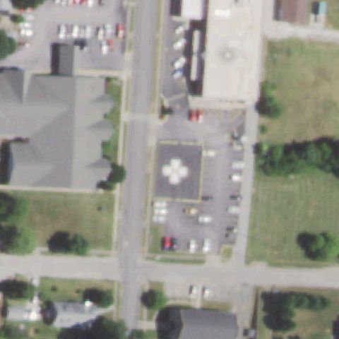 Off-center
NEOSHO, MO
36.8658694440001, -94.3698666669999
Paved pad with white cross marking below-left of image center.
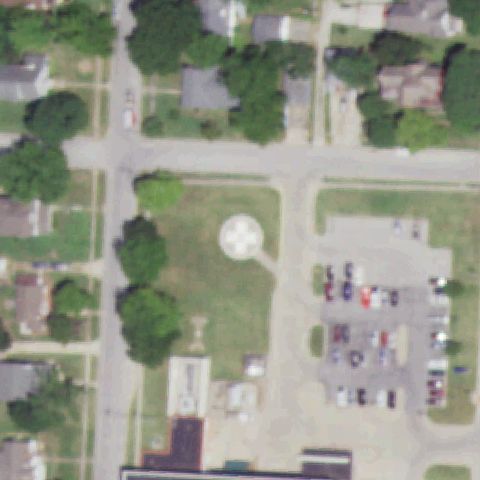 Off-center
NEVADA, MO
37.831905556, -94.360558333
Round pad with white cross marking on grass left of image center.
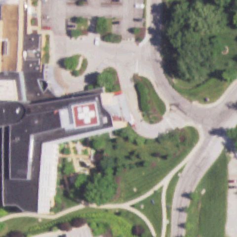 Off-center
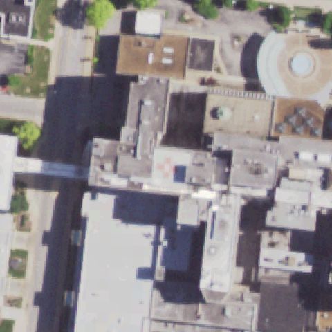
ST LOUIS, MO
38.635605556, -90.4453833329999
Red rooftop pad with white cross marking left of image center.
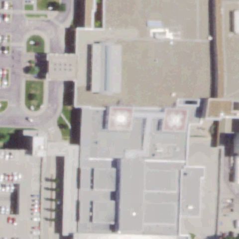
 Off-center
ST LOUIS, MO
38.633280556, -90.311502778
Red-and-white rooftop pad marking below center.
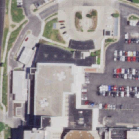
 Off-center
SPRINGFIELD, MO
37.14455, -93.280513889
Two red-and-white rooftop pad markings flank the center, neither centered.
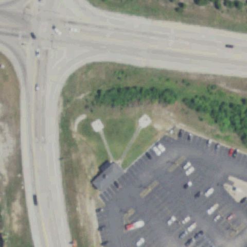
 Off-center
SPRINGFIELD, MO
37.1804361110001, -93.275752778
White cross marking on a building rooftop left of image center.
 Off-center
LAKE OZARK, MO
38.190566667, -92.644097222
Two small round pads on grass below center near a building.
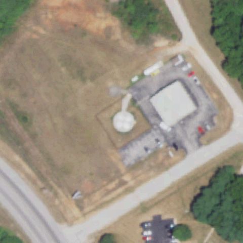 Off-center
BRANSON WEST, MO
36.7043355000001, -93.3698033329999
Round pad within a fenced square apron left of image center.
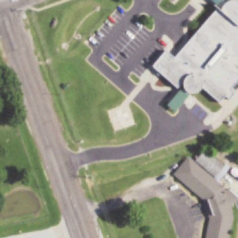 Uncertain
BROOKFIELD, MO
39.774258333, -93.068430556
Blank tan pad lower-center with no visible helipad markings.
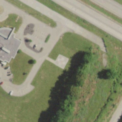 Uncertain
BONNE TERRE, MO
37.911975, -90.532130556
Plain concrete square near center with no discernible markings.
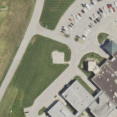 Uncertain
CAMERON, MO
39.730455556, -94.218941667
Tan blank pad in grass near center with no markings.
 Uncertain
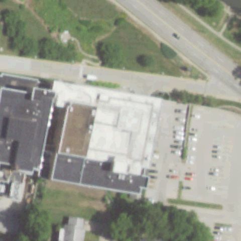
CAPE GIRARDEAU, MO
37.310830556, -89.538847222
Hospital rooftop at center with no clearly visible pad marking.
 Uncertain
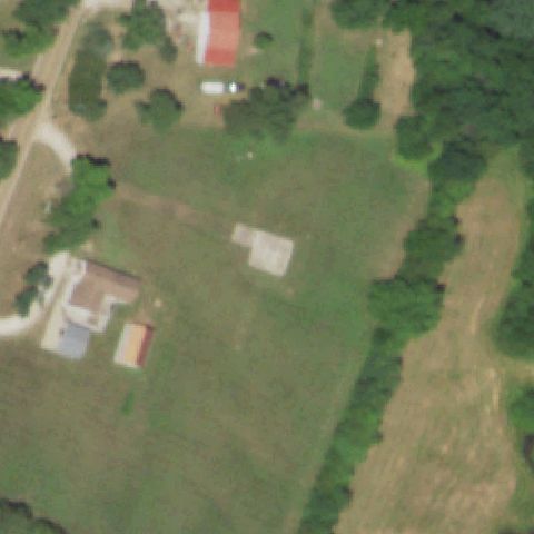
CENTERTOWN, MO
38.6134638890001, -92.4122305559999
Faint concrete rectangle in field, no helipad markings.
 Uncertain
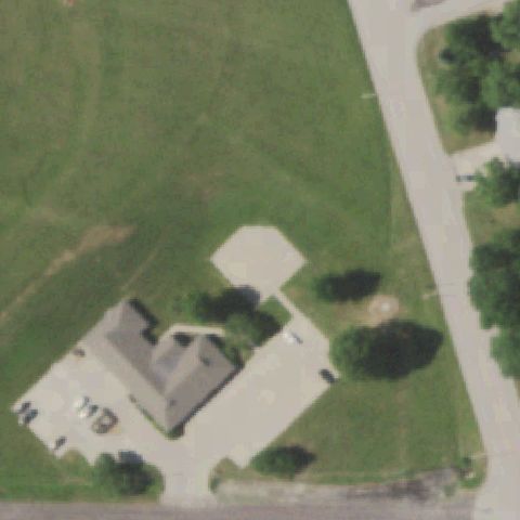
HIGGINSVILLE, MO
39.0737333330001, -93.7358944439999
Tan blank pad near center in grass, no markings.
 Uncertain
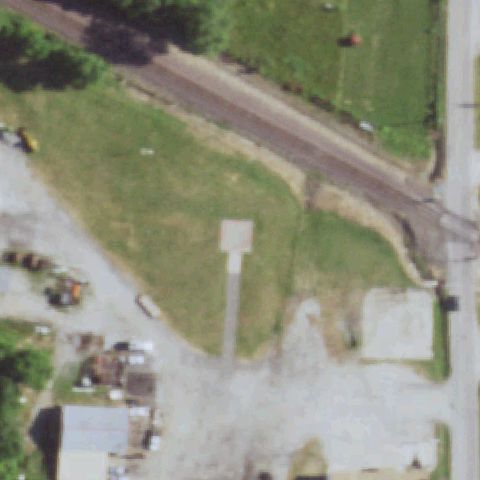
HOLDEN, MO
38.72045, -93.994102778
Plain tan square pad at center with no visible markings.
 Uncertain
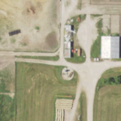
HUNTSVILLE, MO
39.5539208330001, -92.567407778
Round light feature near center likely a tank/structure, not a marked pad.
 Uncertain
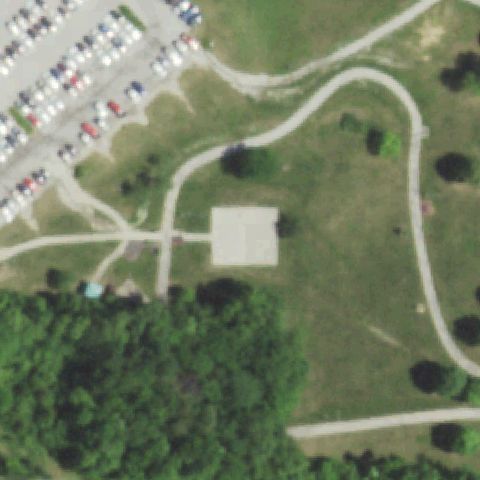
KANSAS CITY, MO
38.9735694440001, -94.393144444
Large blank concrete square at center with no markings.
 Uncertain
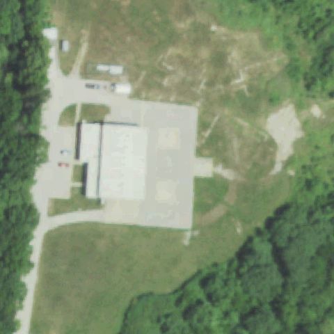
KANSAS CITY, MO
39.0457888890001, -94.497702778
Large paved apron at center but no painted pad marking visible.
 Uncertain
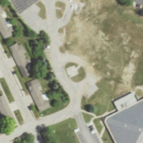
LEE'S SUMMIT, MO
38.9225138890001, -94.4057583329999
Round bare dirt/gravel circle at center, no pad markings.
 Uncertain
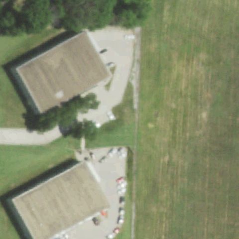
LEES SUMMIT, MO
38.9569511110001, -94.376616944
Center is open grass field between buildings, no marked pad.
 Uncertain
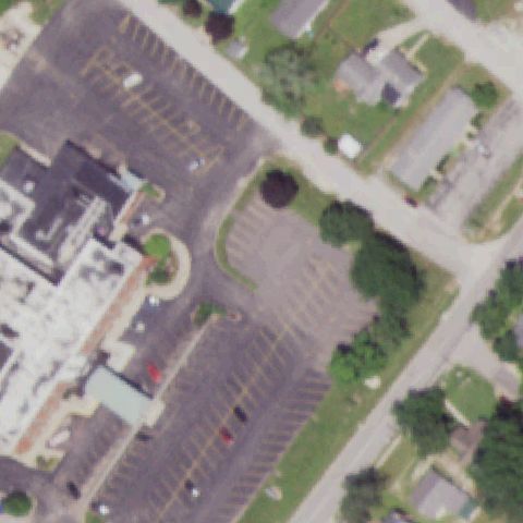
LOUISIANA, MO
39.440777778, -91.0641138889999
Center is parking lots and drives, no helipad visible.
 Uncertain
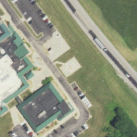
MARSHALL, MO
39.0919916670001, -93.211747222
Blank tan square pad at center with no markings.
 Uncertain
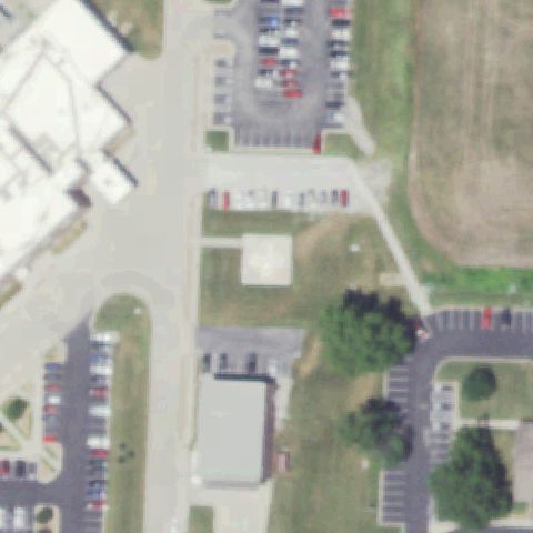
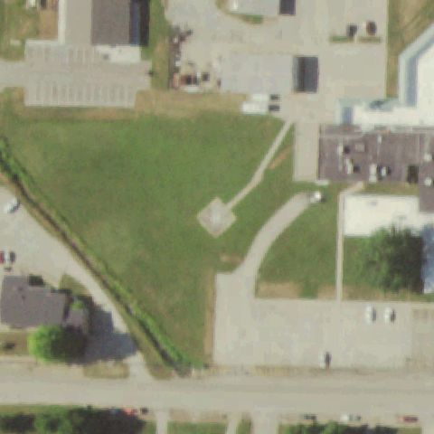
CLINTON, MO
38.3894472220001, -93.766822222
Plain tan square pad at center with no visible markings.
 Uncertain
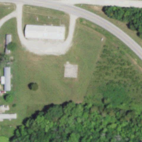
FREDERICKTOWN, MO
37.558488889, -90.3038722219999
Small faint square pad at center in grass, no markings.
 Uncertain
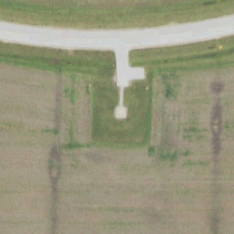
WHEATLAND, MO
37.8932472220001, -93.3621388889999
Blank tan square pad at center, no markings.
 Uncertain
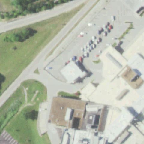
HANNIBAL, MO
39.832208333, -91.440469444
Center shows a faint white circle/marker on grass, no clear pad.
 Uncertain
JEFFERSON CITY, MO
38.565855556, -92.182466667
Center is roadway and parking with no marked pad.
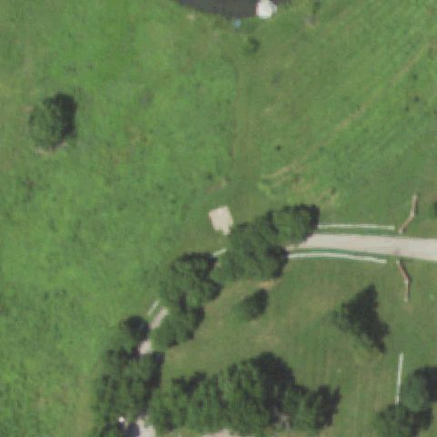 Uncertain
KANSAS CITY, MO
39.276352778, -94.6547138889999
Small blank square in grass near center, no markings; mostly field.
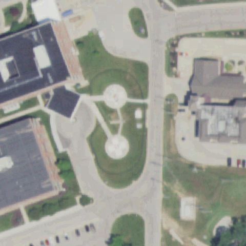 Uncertain
OSAGE BEACH, MO
38.120566667, -92.6816805559999
Two round structures near center resemble fountains or tanks, no clear helipad markings.
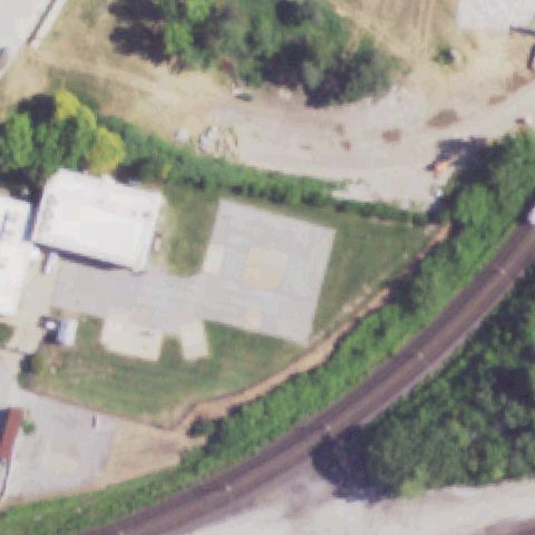 Uncertain
ST LOUIS, MO
38.625244444, -90.213266667
A gray paved slab left of center shows no clear pad markings; center is dirt/brush.
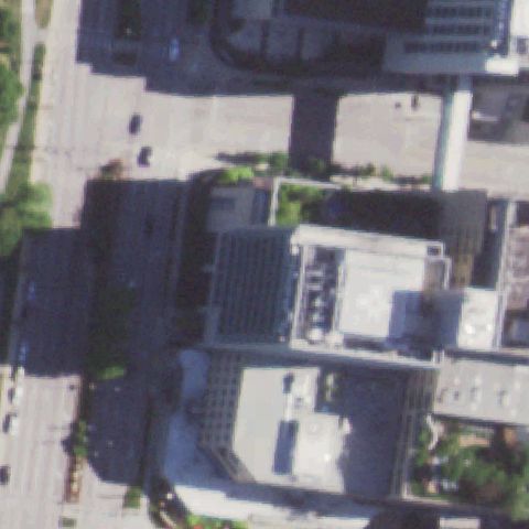 Uncertain
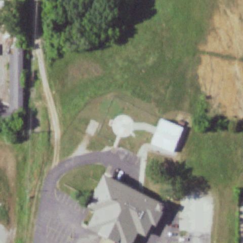
SAINT LOUIS, MO
38.6380722220001, -90.265419444
Generic rooftops and street at center; no distinct pad markings visible.
 Uncertain
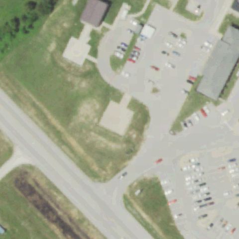
SAINT ROBERT, MO
37.823491667, -92.161094444
Round white structure near center appears to be an elevated water tank, not a marked pad.
 Uncertain
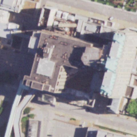
SALEM, MO
37.6599000000001, -91.5705972219999
A light concrete slab below center has no visible pad markings; center is open ground.
 Uncertain
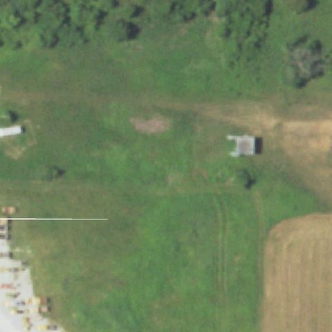
ST LOUIS, MO
38.6228833330001, -90.239158333
Dark building rooftops at center with no clearly visible pad markings.
 Uncertain
WEST PLAINS, MO
36.8722222220001, -91.905833333
Open grass field; faint discoloration near center but no clear pad marking.
 Uncertain
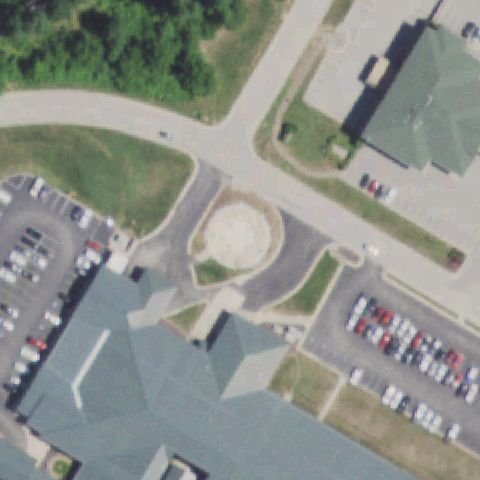
LEBANON, MO
37.682161444, -92.633673389
Center shows a circular sandy area with no clear pad markings, likely landscaping not a touchdown pad.
 Uncertain
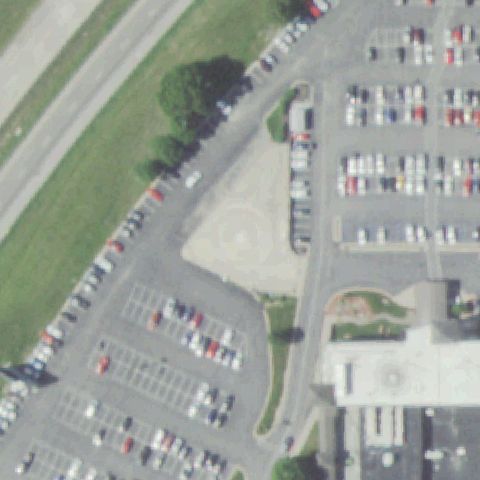
ROLLA, MO
37.953231611, -91.786513472
Center is open dirt between parking lots with only a very faint circular trace, no defined pad.
 Uncertain
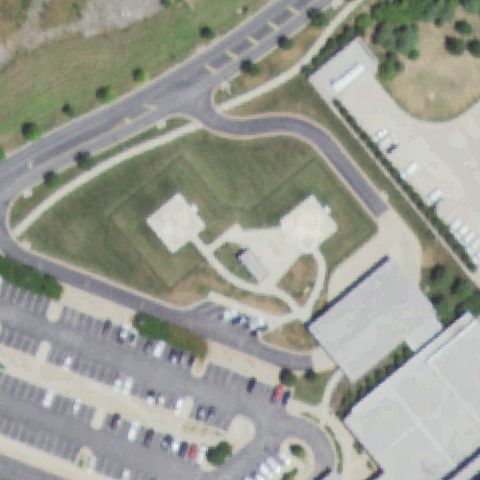
JOPLIN, MO
37.037219861, -94.5110636109999
Center is a grassy landscaped mound with light building roofs and no distinct pad.
 Uncertain
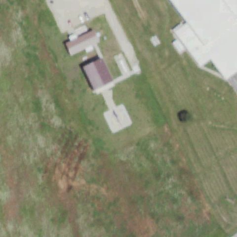
LOUISIANA, MO
39.4148805560001, -91.098616667
Center shows a light square concrete patch but no distinct touchdown marking, ambiguous.
 Uncertain
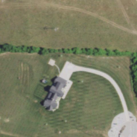
OZARK, MO
37.0857590000001, -93.2495709999999
Center shows a rural residence and lawn with a driveway, no prepared pad.
 Uncertain
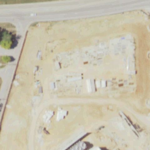
FORT LEONARD WOOD, MO
37.76915, -92.1122319999999
Center is a dirt construction/staging site with no defined pad; imagery may predate construction.
 Confirmed
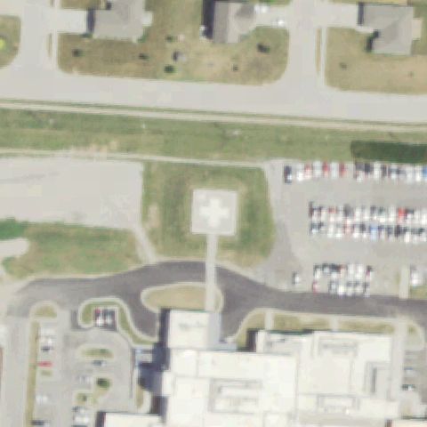
BELTON, MO
38.816647222, -94.503580556
White pad with red cross marking near image center.
✓ Confirmed by AI vision with Claude Opus 4.8
 Confirmed
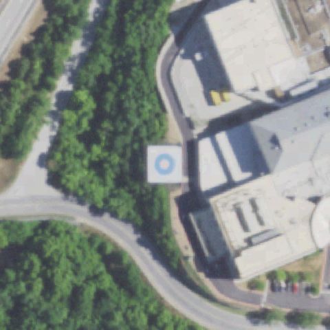
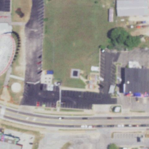
BRANSON, MO
36.650425, -93.2226277779999
White pad with blue circle touchdown marker at center.
✓ Confirmed by AI vision with Claude Opus 4.8
 Confirmed
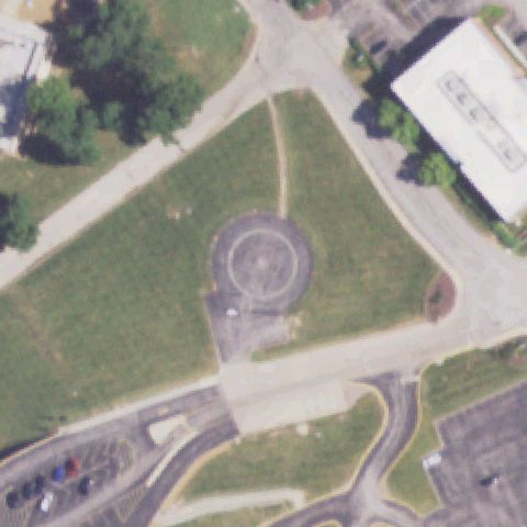
BRANSON, MO
36.6383222220001, -93.2825583329999
Small dark square pad with faint marking near center amid a graded lot.
✓ Confirmed by AI vision with Claude Opus 4.8
 Confirmed
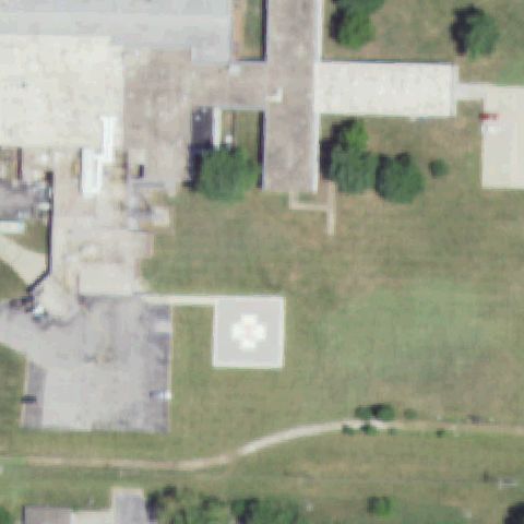
BRIDGETON, MO
38.7521694440001, -90.4324
Circular touchdown ring on dark asphalt pad at center.
✓ Confirmed by AI vision with Claude Opus 4.8
 Confirmed
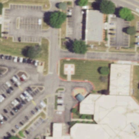
BUTLER, MO
38.2483333330001, -94.342222222
White square pad with flower/H marking near center.
✓ Confirmed by AI vision with Claude Opus 4.8
 Confirmed
BLUE SPRINGS, MO
39.0269083330001, -94.2644611109999
Orange-bordered pad with H marking at center.
✓ Confirmed by AI vision with Claude Opus 4.8
 Confirmed
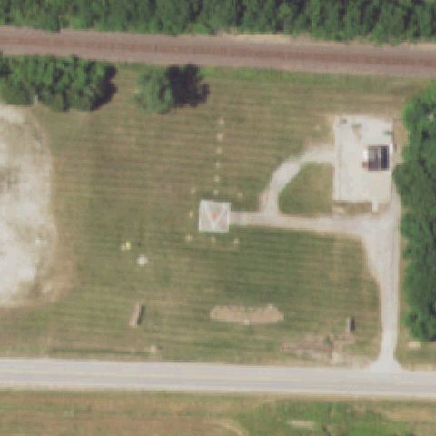
CALIFORNIA, MO
38.62735, -92.5405388889999
White pad with red H/triangle marking at center of a field.
✓ Confirmed by AI vision with Claude Opus 4.8
 Confirmed
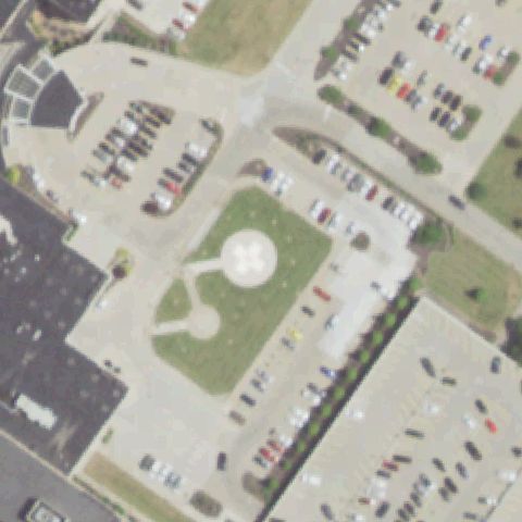
CAPE GIRARDEAU, MO
37.3034900000001, -89.5698
Large circular concrete pad at center of grassy courtyard.
✓ Confirmed by AI vision with Claude Opus 4.8
 Confirmed
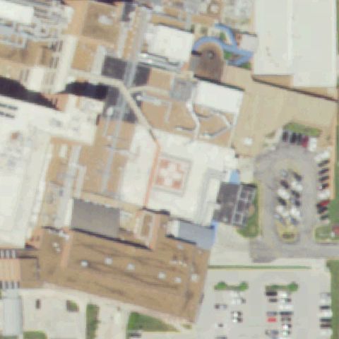
COLUMBIA, MO
38.9489361110001, -92.315297222
Rooftop pad with red cross/H marking near center.
✓ Confirmed by AI vision with Claude Opus 4.8
 Confirmed
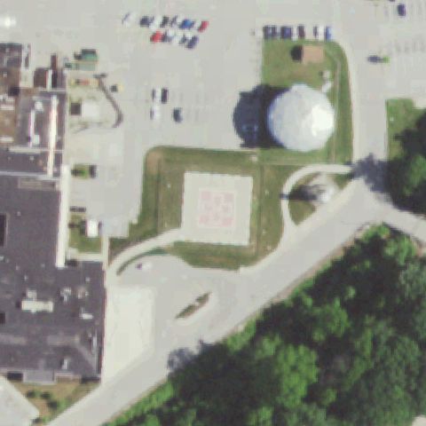
CRYSTAL CITY, MO
38.196280556, -90.392413889
Square pad with red grid/cross marking at center.
✓ Confirmed by AI vision with Claude Opus 4.8
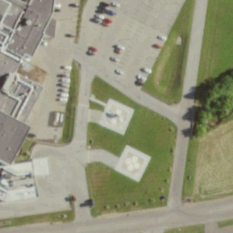 Confirmed
FARMINGTON, MO
37.781325, -90.437213889
White pad with flower/H marking near center, second pad adjacent.
✓ Confirmed by AI vision with Claude Opus 4.8
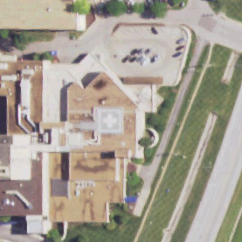 Confirmed
FLORISSANT, MO
38.7766972220001, -90.2394
Rooftop pad with cross marking at center of building.
✓ Confirmed by AI vision with Claude Opus 4.8
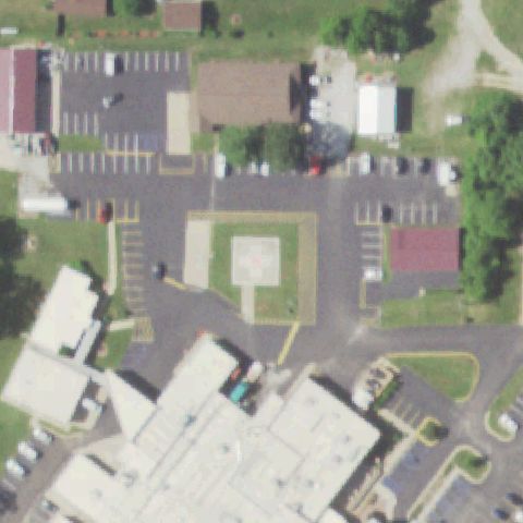 Confirmed
HOUSTON, MO
37.3167194440001, -91.961
Square concrete pad with faint center marking in courtyard.
✓ Confirmed by AI vision with Claude Opus 4.8
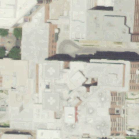 Confirmed
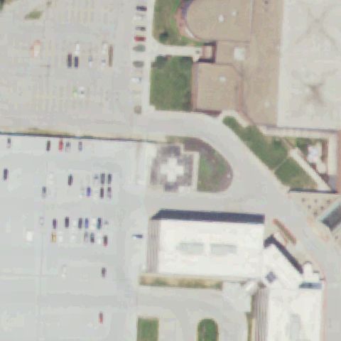
KANSAS CITY, MO
39.0838166670001, -94.5769194439999
Rooftop pads with cross markings near center of hospital.
✓ Confirmed by AI vision with Claude Opus 4.8
 Confirmed
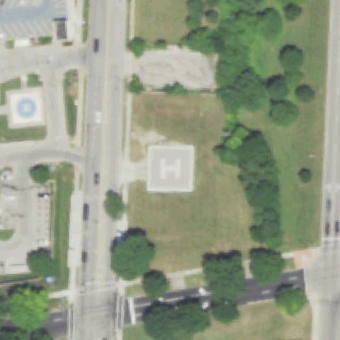
KANSAS CITY, MO
38.9363333330001, -94.6051277779999
Rooftop pad with white cross marking at center.
✓ Confirmed by AI vision with Claude Opus 4.8
 Confirmed
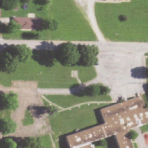
KANSAS CITY, MO
39.007972222, -94.556077778
Clear painted H pad at center of grassy area.
✓ Confirmed by AI vision with Claude Opus 4.8
 Confirmed
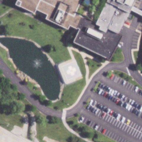
MARCELINE, MO
39.729683333, -92.9445805559999
Pad with red cross marking near center beside hospital.
✓ Confirmed by AI vision with Claude Opus 4.8
 Confirmed
CHESTERFIELD, MO
38.6502861110001, -90.503208333
White pad with flower/H marking at center beside pond.
✓ Confirmed by AI vision with Claude Opus 4.8
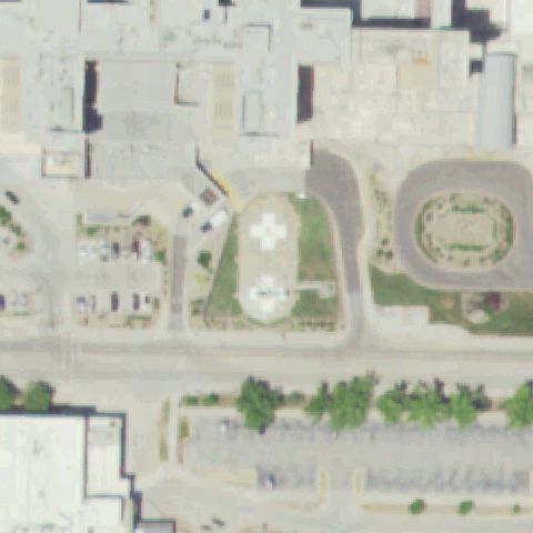 Confirmed
COLUMBIA, MO
38.9378333330001, -92.327975
Rooftop pads with cross/H markings near center of hospital complex.
✓ Confirmed by AI vision with Claude Opus 4.8
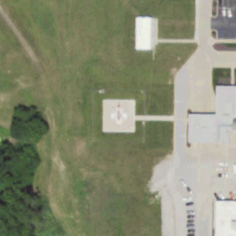 Confirmed
HANNIBAL, MO
39.711083333, -91.451944444
White pad with red cross marking at center of field.
✓ Confirmed by AI vision with Claude Opus 4.8
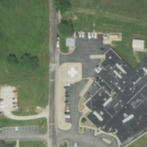 Confirmed
HERMANN, MO
38.693252778, -91.450313889
Tan pad with white cross marking near center beside hospital.
✓ Confirmed by AI vision with Claude Opus 4.8
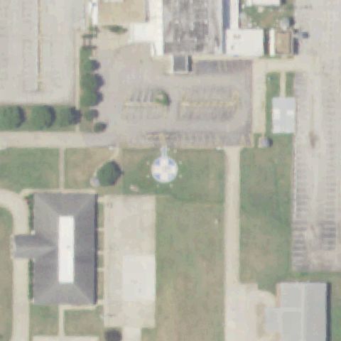 Confirmed
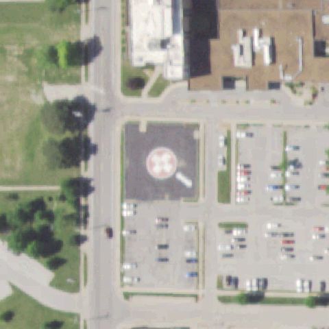
KENNETT, MO
36.234661111, -90.0411999999999
Round helipad with painted cross/H marking sits at image center on a grass apron.
✓ Confirmed by AI vision with Claude Opus 4.8
 Confirmed
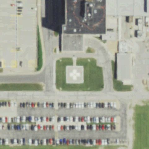
KIRKSVILLE, MO
40.1920777780001, -92.590572222
Circular pad with white cross marking on a dark asphalt apron near center.
✓ Confirmed by AI vision with Claude Opus 4.8
 Confirmed
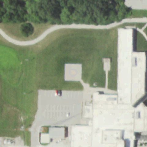
LIBERTY, MO
39.2740027780001, -94.424447222
Square concrete pad with white cross marking on grass at image center.
✓ Confirmed by AI vision with Claude Opus 4.8
 Confirmed
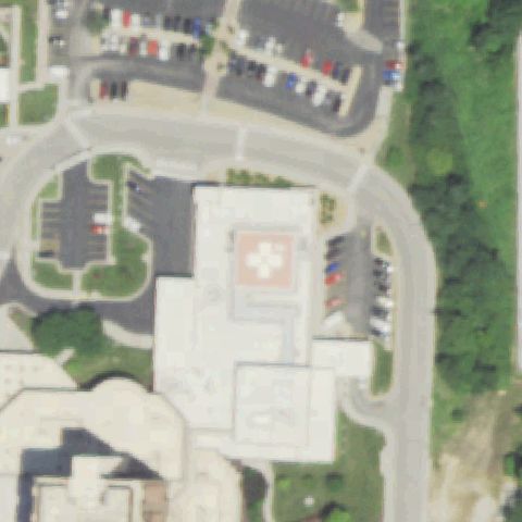
MARYVILLE, MO
40.326983333, -94.876844444
Square pad with circular touchdown ring on grass just above center.
✓ Confirmed by AI vision with Claude Opus 4.8
 Confirmed
NORTH KANSAS CITY, MO
39.1510222220001, -94.550588889
Red rooftop pad with white cross marking near image center.
✓ Confirmed by AI vision with Claude Opus 4.8
 Confirmed
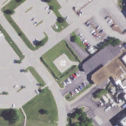
ST PETERS, MO
38.793947222, -90.580977778
Square pad with cross marking on a grass island near image center.
✓ Confirmed by AI vision with Claude Opus 4.8
 Confirmed
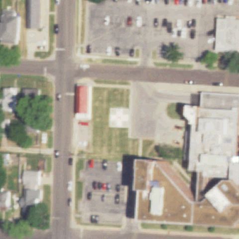
SEDALIA, MO
38.6996963890001, -93.2223511939999
White square pad with faint cross marking on grass near image center.
✓ Confirmed by AI vision with Claude Opus 4.8
 Confirmed
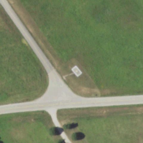
ZALMA, MO
37.1515027780001, -90.071316667
Small white square pad on an open grass field near image center.
✓ Confirmed by AI vision with Claude Opus 4.8
 Confirmed
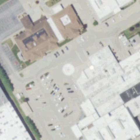
PERRYVILLE, MO
37.7322361110001, -89.865980556
Faint circular pad with marking on pavement near image center.
✓ Confirmed by AI vision with Claude Opus 4.8
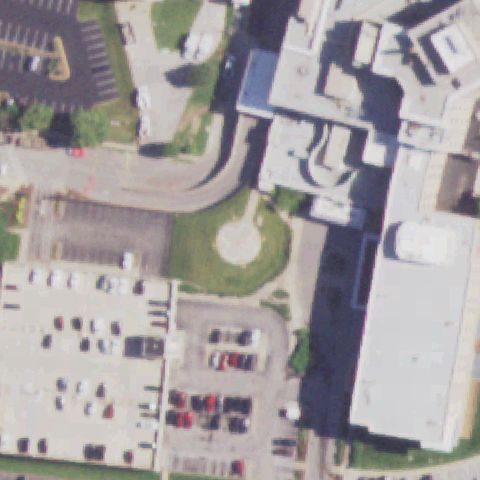 Confirmed
ST LOUIS, MO
38.620683333, -90.239938889
Circular pad with faint marking on a grass island near image center.
✓ Confirmed by AI vision with Claude Opus 4.8
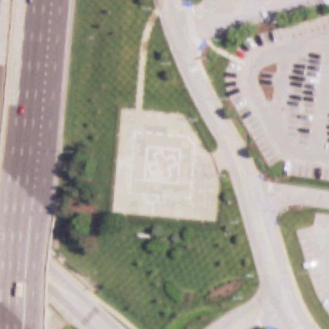 Confirmed
ST LOUIS, MO
38.6436694440001, -90.4483361109999
Square concrete pad with cross/H marking near image center.
✓ Confirmed by AI vision with Claude Opus 4.8
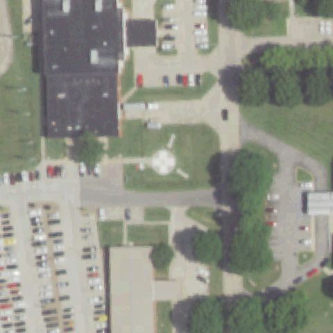 Confirmed
SIKESTON, MO
36.8908388890001, -89.581602778
Round white pad with cross marking on grass near image center.
✓ Confirmed by AI vision with Claude Opus 4.8
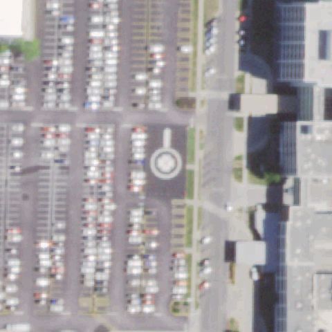 Confirmed
SPRINGFIELD, MO
37.225280556, -93.2909222219999
Circular pad with marking in a parking lot near image center.
✓ Confirmed by AI vision with Claude Opus 4.8
 Confirmed
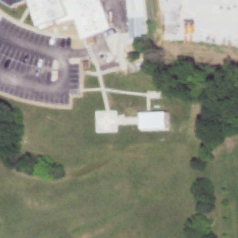
TROY, MO
38.9821305560001, -90.9630861109999
White square pad with faint marking on grass near image center.
✓ Confirmed by AI vision with Claude Opus 4.8
 Confirmed
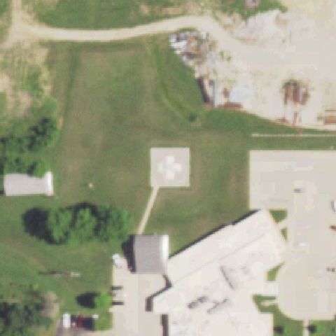
UNIONVILLE, MO
40.4834472220001, -93.0063361109999
White square pad with cross marking on grass near image center.
✓ Confirmed by AI vision with Claude Opus 4.8
 Confirmed
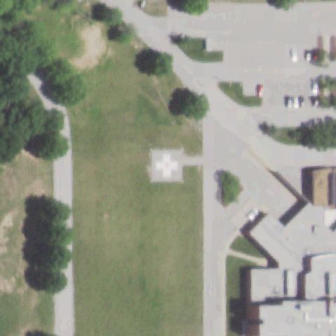
WENTZVILLE, MO
38.822722222, -90.8814833329999
White square pad with cross marking on a grass lawn near image center.
✓ Confirmed by AI vision with Claude Opus 4.8
 Confirmed
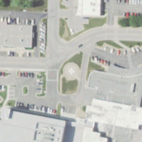
WEST PLAINS, MO
36.7388861110001, -91.875336111
Round tan pad outline on a grass island near image center.
✓ Confirmed by AI vision with Claude Opus 4.8
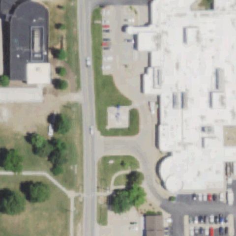 Confirmed
BOLIVAR, MO
37.626119444, -93.420733333
Faint pad with a blue marking on grass near image center.
✓ Confirmed by AI vision with Claude Opus 4.8
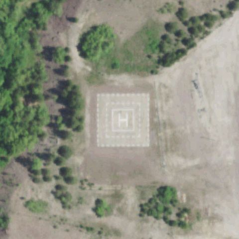 Confirmed
LESTERVILLE, MO
37.5188138890001, -90.838797222
Large square pad with bold painted H at image center on a dirt/gravel clearing.
✓ Confirmed by AI vision with Claude Opus 4.8
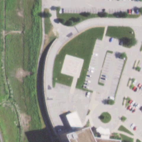 Confirmed
ST. LOUIS, MO
38.529444444, -90.476666667
White square pad with cross marking on grass near image center.
✓ Confirmed by AI vision with Claude Opus 4.8
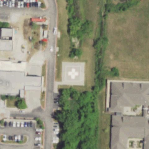 Confirmed
LEE'S SUMMIT, MO
38.903641667, -94.331558333
White square pad with white cross marking on grass near image center.
✓ Confirmed by AI vision with Claude Opus 4.8
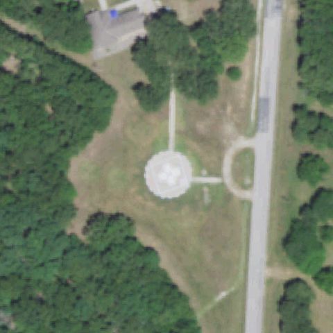 Confirmed
OSCEOLA, MO
38.095730556, -93.55195
A distinct circular prepared touchdown pad with concentric rings sits at image center.
✓ Confirmed by AI vision with Claude Opus 4.8
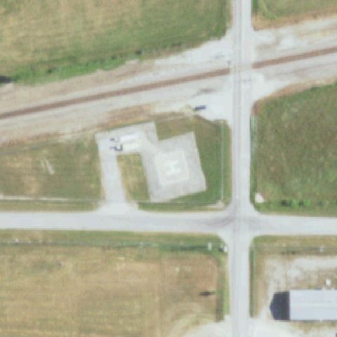 Confirmed
ROGERSVILLE, MO
37.117613889, -93.0296499999999
A concrete pad with a painted H marking is clearly visible near center.
✓ Confirmed by AI vision with Claude Opus 4.8
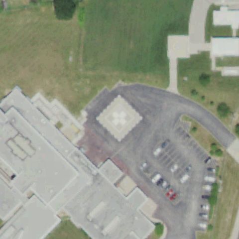 Confirmed
SULLIVAN, MO
38.1964583330001, -91.17
A square pad with a white quartered touchdown marking is visible near center.
✓ Confirmed by AI vision with Claude Opus 4.8
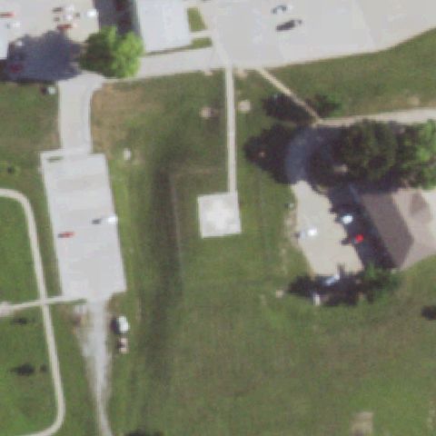 Confirmed
RICHMOND, MO
39.263369444, -93.95705
A light square prepared pad with a faint marking sits at center on grass.
✓ Confirmed by AI vision with Claude Opus 4.8
 Confirmed
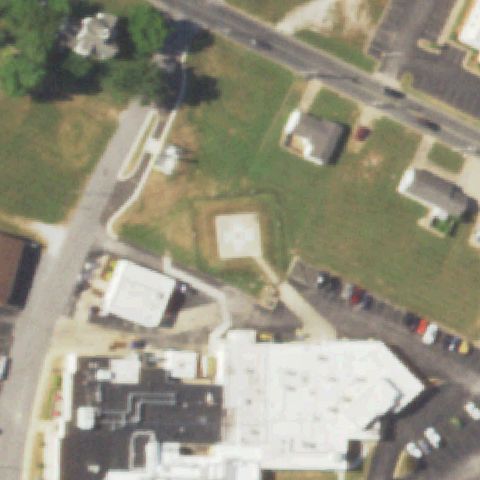
CASSVILLE, MO
36.6752361110001, -93.8722
A faint square prepared pad is visible at image center within a bordered grass plot.
✓ Confirmed by AI vision with Claude Opus 4.8
 Confirmed
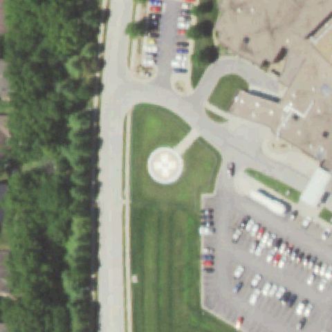
ST. JOSEPH, MO
39.771769444, -94.772375
A circular pad with a white quartered H marking is clearly visible near center on grass.
✓ Confirmed by AI vision with Claude Opus 4.8
 Confirmed
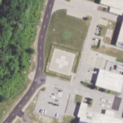
O'FALLON, MO
38.716380556, -90.6992749999999
A square pad with a bold white cross/H marking is clearly visible near center.
✓ Confirmed by AI vision with Claude Opus 4.8
 Confirmed
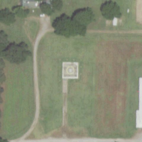
PORTAGEVILLE, MO
36.4160305560001, -89.700855556
A square pad with a yellow circle touchdown marking sits at image center in a field.
✓ Confirmed by AI vision with Claude Opus 4.8
 Confirmed
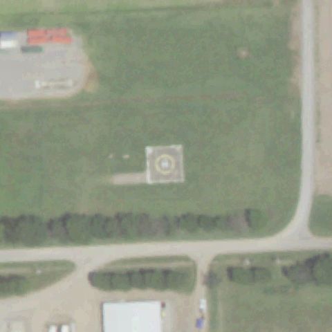
PORTAGEVILLE, MO
36.3959166670001, -89.613752778
A square pad with a circular touchdown marking is visible at center in an open field.
✓ Confirmed by AI vision with Claude Opus 4.8
 Confirmed
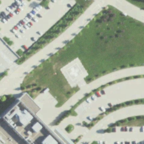
JEFFERSON CITY, MO
38.558725, -92.220330556
A square pad with a white quartered touchdown marking is visible near center on grass.
✓ Confirmed by AI vision with Claude Opus 4.8
 Confirmed
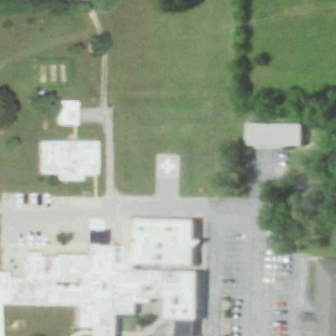
MT VIEW, MO
37.0028694440001, -91.702638889
A square pad with a white cross/H marking is visible near center beside the building.
✓ Confirmed by AI vision with Claude Opus 4.8
 Confirmed
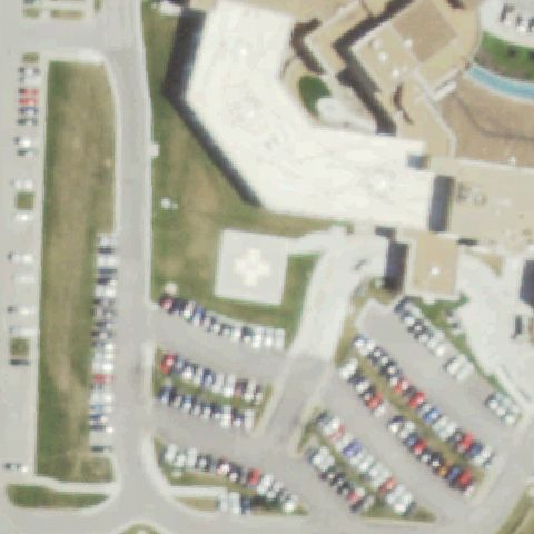
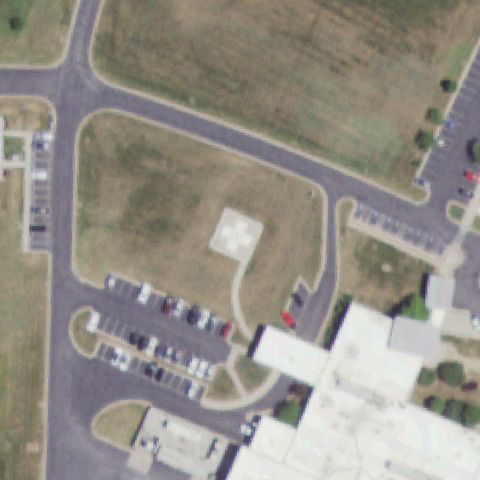
LEES SUMMIT, MO
38.9401861110001, -94.382338889
A square pad with a white quartered touchdown marking is visible at center on grass.
✓ Confirmed by AI vision with Claude Opus 4.8
 Confirmed
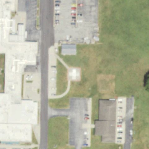
CARTHAGE, MO
37.1369361110001, -94.322188889
A light square pad with a cross/H marking sits at image center in a landscaped plot.
✓ Confirmed by AI vision with Claude Opus 4.8
 Confirmed
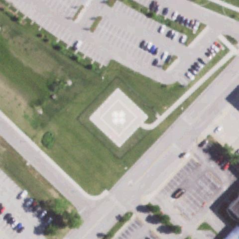
AURORA, MO
36.969433333, -93.7092083329999
A faint square pad with a cross outline is visible near center on grass.
✓ Confirmed by AI vision with Claude Opus 4.8
 Confirmed
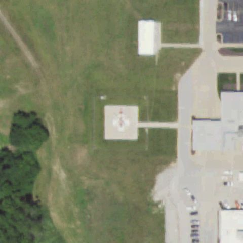
CONCORD, MO
38.5076777780001, -90.382008333
A square pad with a white quartered touchdown marking is clearly visible at center.
✓ Confirmed by AI vision with Claude Opus 4.8
 Confirmed
HANNIBAL, MO
39.7111, -91.451936111
A square pad with a reddish H/cross marking is visible near center on grass.
✓ Confirmed by AI vision with Claude Opus 4.8
 Confirmed
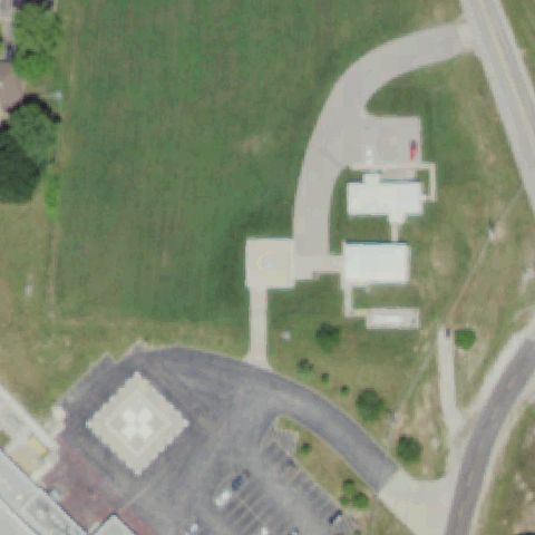
SULLIVAN, MO
38.196836111, -91.169608333
A faint square pad with a circular marking is visible near center; a clearer diamond pad sits off at lower left.
✓ Confirmed by AI vision with Claude Opus 4.8
 Confirmed
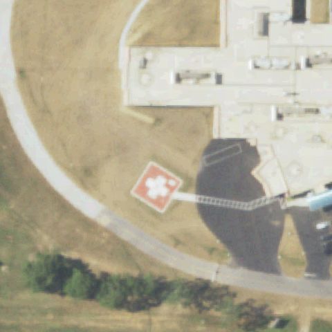
MONETT, MO
36.9144833330001, -93.892911111
A red/orange diamond pad with a white H marking is clearly visible near center.
✓ Confirmed by AI vision with Claude Opus 4.8
 Confirmed
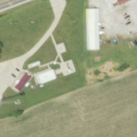
MOBERLY, MO
39.447088111, -92.413179806
A light square prepared pad is faintly visible near center among farm buildings.
✓ Confirmed by AI vision with Claude Opus 4.8
 Confirmed
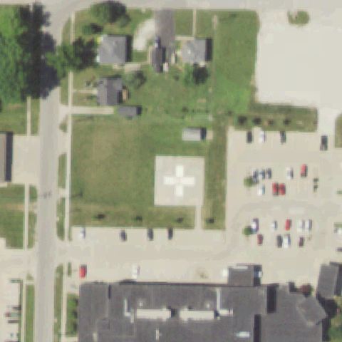
MACON, MO
39.7486166670001, -92.468983333
A large white pad with a bold white cross/H marking is clearly visible near center.
✓ Confirmed by AI vision with Claude Opus 4.8