 Not visible
4MN3 Lexington
HAM LAKE, MN
45.277155556, -93.150625
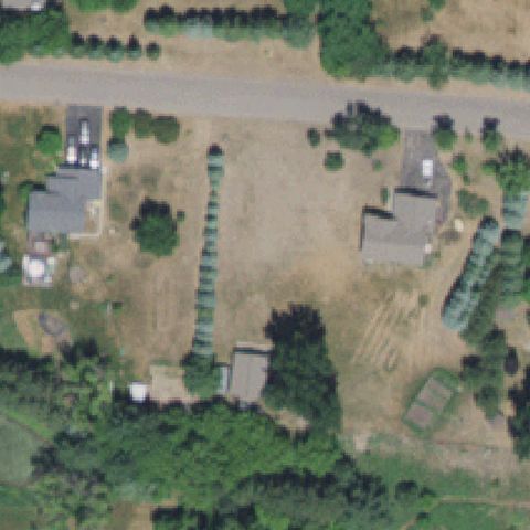
Rural property with field, houses and hedgerows; no helipad at center.
80% confidence
Verify on the map →
Is there really a pad here?
Data: FAA Airports (ArcGIS open layer) | Imagery: USGS NAIP (public domain) | AI vision: Claude Opus 4.8 | built 2026-07-05
A flag means a pad could not be confirmed from current imagery - never that a heliport is missing, fake, or mislocated. Help us check: vote on each one below.
Not visibleHAM LAKE, MN
45.277155556, -93.150625
Rural property with field, houses and hedgerows; no helipad at center.
 Not visible
MORA, MN
45.8744030560001, -93.289945833
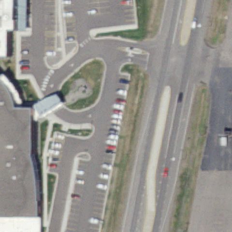
Parking and roadway at center with no helipad marking visible.
 Not visible
MONTICELLO, MN
45.302046111, -93.7681777779999
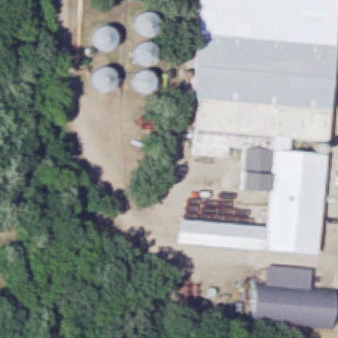
Center shows grain silos and farm buildings with no helipad.
 Not visible
CASS LAKE, MN
47.3847222220001, -94.609722222
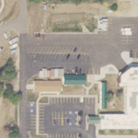
Center shows a parking lot and building complex with no helipad marking.
 Not visible
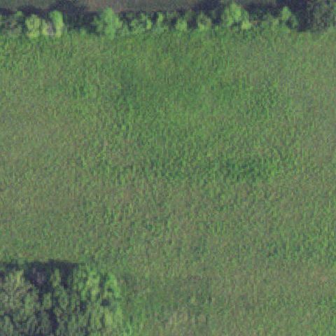
GOOD THUNDER, MN
44.01036, -93.956266
Center is an open grass field bordered by trees with no pad or markings visible.
 Off-center
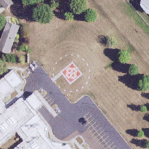
JACKSON, MN
43.624819444, -95.00395
Red square pad with white cross visible below-left of center, off the exact center.
 Off-center
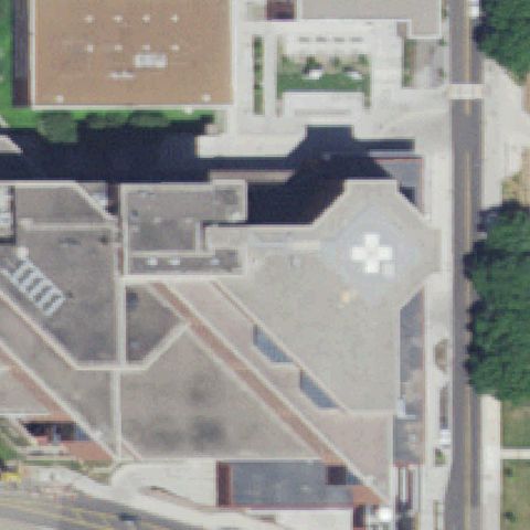
MINNEAPOLIS, MN
44.971205556, -93.230911111
Rooftop pad with white cross visible lower-right of image center.
 Off-center
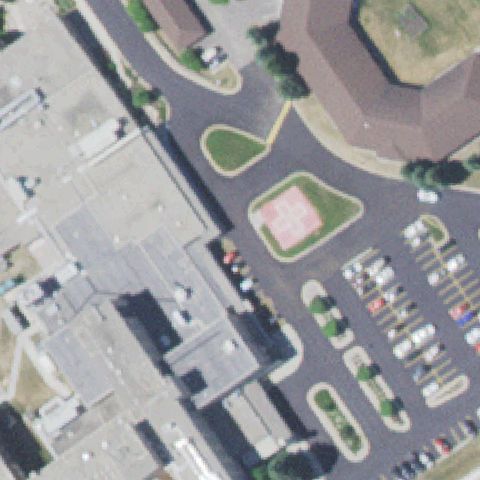
NEW ULM, MN
44.3131472220001, -94.4759583329999
Red square pad with white cross visible left of center in paved island.
 Off-center
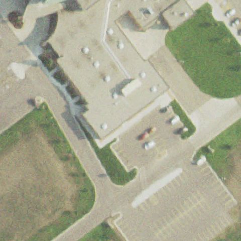
PERHAM, MN
46.5931055560001, -95.593161111
Small pale pad with faint marking visible upper-right of center on hospital grounds.
 Off-center
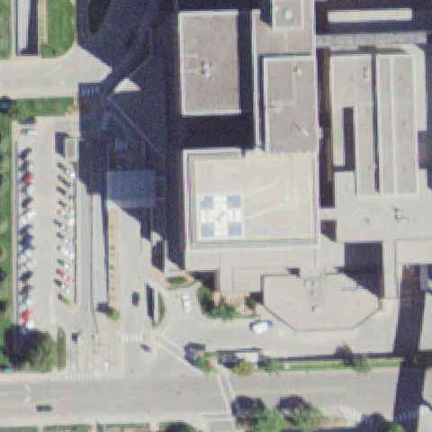
ROCHESTER, MN
44.0197652780001, -92.4830536109999
Rooftop pad with cross/checker marking visible lower-right of image center.
 Off-center
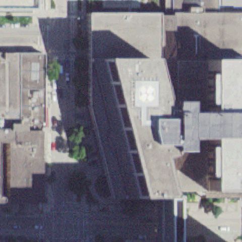
ROCHESTER, MN
44.0239930000001, -92.466975
Rooftop pad with white cross marking right of image center.
 Off-center
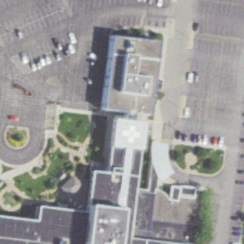
WINONA, MN
44.0338750000001, -91.623288889
Rooftop pad with white cross marking below image center.
 Off-center
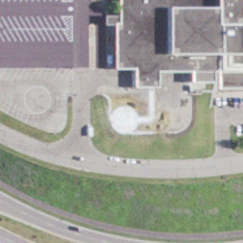
RED WING, MN
44.5593190280001, -92.5727881939999
Faint round pad visible left of center; marking obscured.
 Off-center
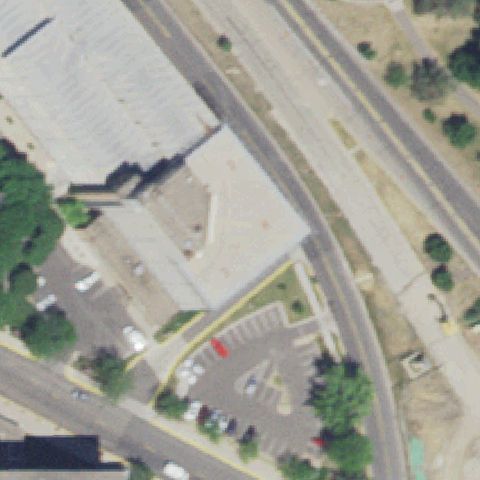
ROBBINSDALE, MN
45.0145277780001, -93.320336111
Round rooftop pad with cross marking right of image center.
 Off-center
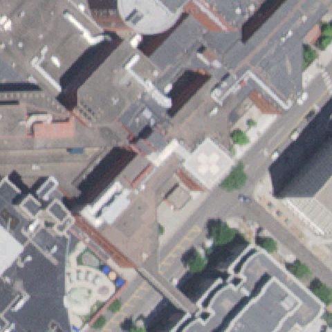
ST PAUL, MN
44.9425833330001, -93.107844444
Faint light rooftop pad with a clover marking just right of the dense downtown center.
 Off-center
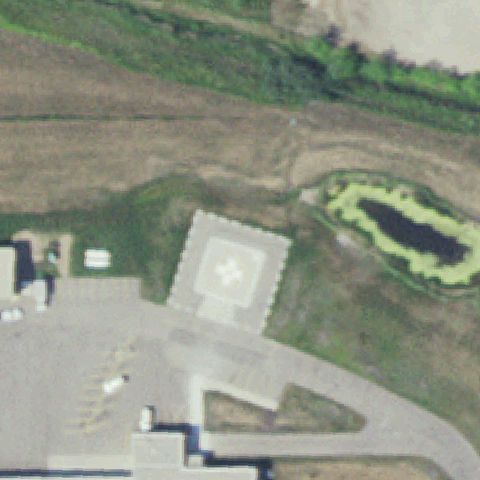
WARREN, MN
48.192102778, -96.772736111
White square pad with a cross marking sits lower-left of the image center.
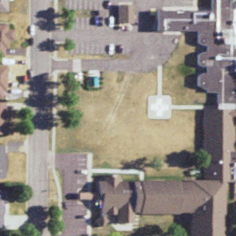 Off-center
PAYNESVILLE, MN
45.3739, -94.7166
Pale square pad with faint marking sits slightly right of center on the lawn.
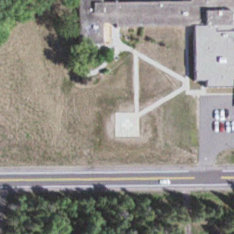 Off-center
AURORA, MN
47.5175, -92.230277778
Pale square concrete pad below center with no clear marking, likely a prepared pad.
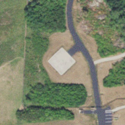 Off-center
INTERNATIONAL FALLS, MN
48.6026138890001, -93.3896694439999
White square pad rotated 45 degrees just left of center in a clearing.
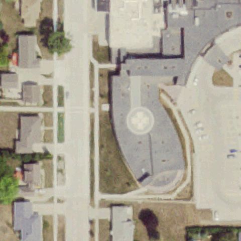 Off-center
PIPESTONE, MN
43.9902777780001, -96.3233333329999
Circular pad with cross marking sits lower-left of center on a paved area.
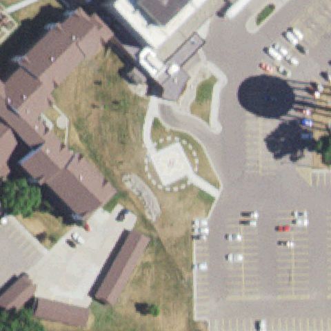 Off-center
MARSHALL, MN
44.4470527780001, -95.777497222
Square pad with dashed circle FATO sits left of center near the hospital.
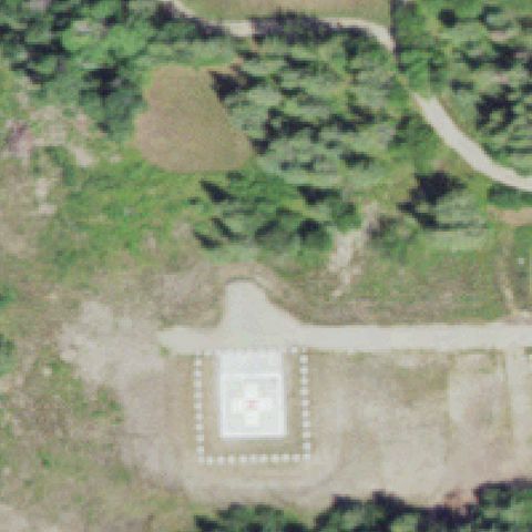 Off-center
KABETOGAMA, MN
48.4391969440001, -93.0508574999999
Square pad with red cross and dashed outline sits below center in a forest clearing.
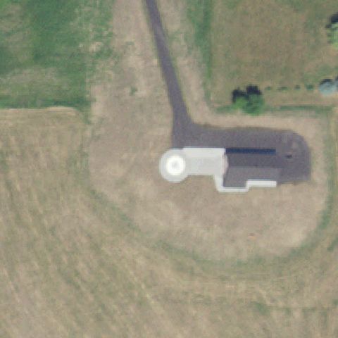 Off-center
WEBSTER, MN
44.5652777780001, -93.432617222
White circular pad marking just left of center beside a small structure.
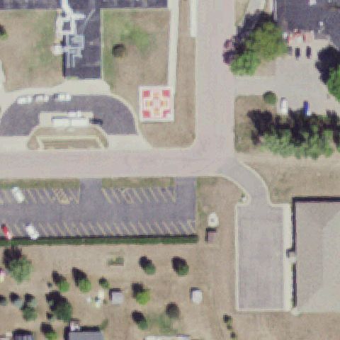 Off-center
TRACY, MN
44.2316666670001, -95.606944444
Red and yellow H pad marking sits upper-left of the image center.
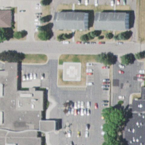 Off-center
HUTCHINSON, MN
44.8761552780001, -94.371437778
A raised square pad with an H marking sits just left of the image center amid the hospital parking lot.
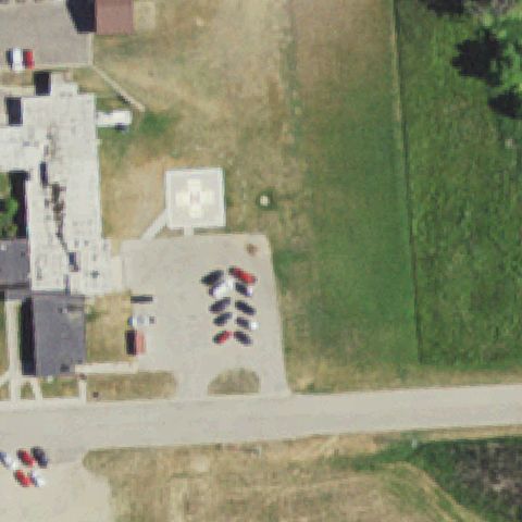 Off-center
TYLER, MN
44.271944444, -96.1291666669999
A square pad with an H marking is visible upper-left of center on grass beside the hospital.
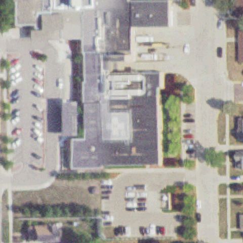 Uncertain
BLUE EARTH, MN
43.6333333330001, -94.1
Hospital roof and lots at center but no distinct helipad marking visible.
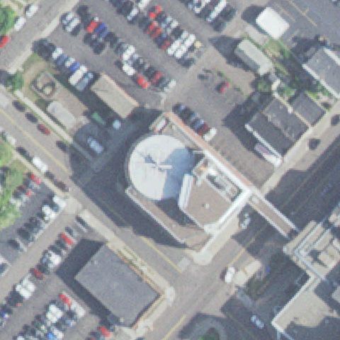 Uncertain
DULUTH, MN
46.7938500000001, -92.097752778
Large round rooftop structure at center but no clear helipad marking; likely a dome/tank.
 Uncertain
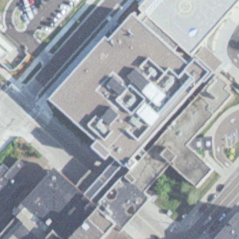
DULUTH, MN
46.797769444, -92.0872527779999
Dense urban hospital rooftops at center with no distinct pad marking visible.
 Uncertain
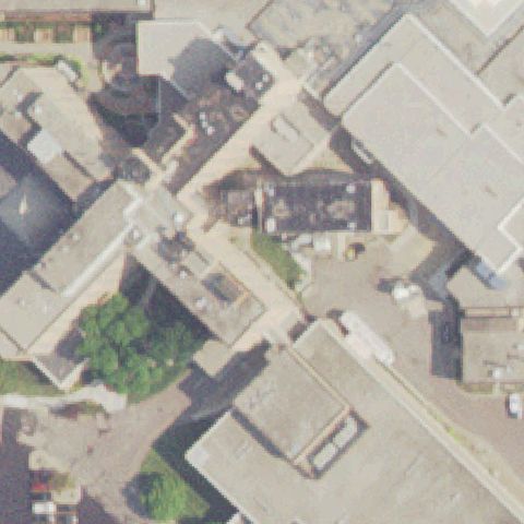
MANKATO, MN
44.1633263890001, -93.983955556
Dense hospital rooftops at center with no distinct helipad marking visible.
 Uncertain
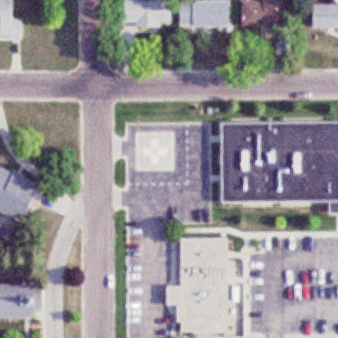
ORTONVILLE, MN
45.315472222, -96.4469444439999
Hospital roof and parking at center with no distinct helipad marking.
 Uncertain
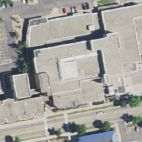
WILLMAR, MN
45.119822222, -95.045891667
Pale square rooftop area at center but no distinct helipad marking visible.
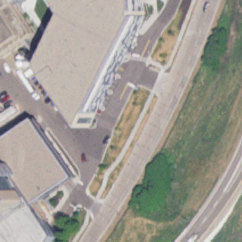 Uncertain
ST PAUL, MN
44.955608333, -93.0930333329999
Hospital roofs and walkways at center with no distinct helipad marking visible.
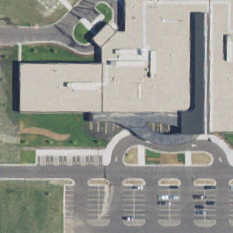 Uncertain
REDWOOD FALLS, MN
44.53, -95.09
Center is a plain hospital building roof with no clear helipad marking.
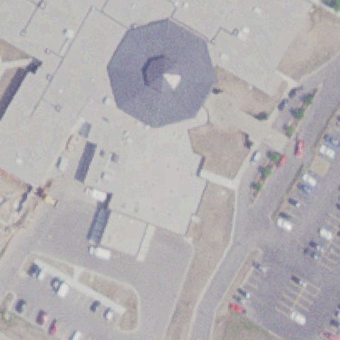 Uncertain
RED LAKE, MN
47.8775444440001, -95.029177778
Center is a large octagonal building roof with a skylight, no helipad.
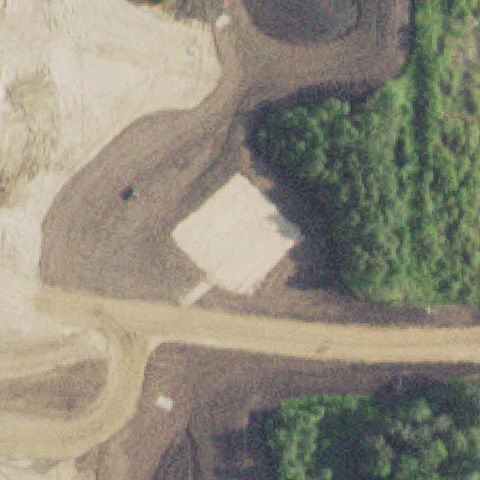 Uncertain
WADENA, MN
46.451283333, -95.156416667
Center shows cleared dirt with a light rectangular slab but no helipad markings, likely predates pad construction.
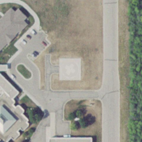 Confirmed
ADA, MN
47.298377778, -96.530672222
Concrete square pad with a painted white H near image center.
✓ Confirmed by AI vision with Claude Opus 4.8
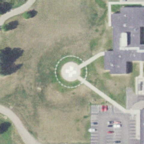 Confirmed
AITKIN, MN
46.5295750000001, -93.6998166669999
Circular touchdown pad with center marking and dashed FATO ring at image center.
✓ Confirmed by AI vision with Claude Opus 4.8
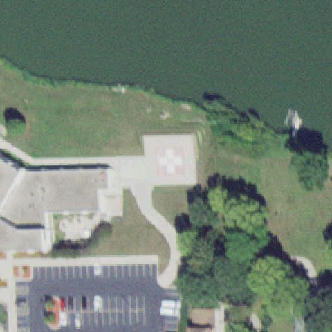 Confirmed
ALBERT LEA, MN
43.652700694, -93.371598333
Red square pad with white cross marking just left of center near lakeshore.
✓ Confirmed by AI vision with Claude Opus 4.8
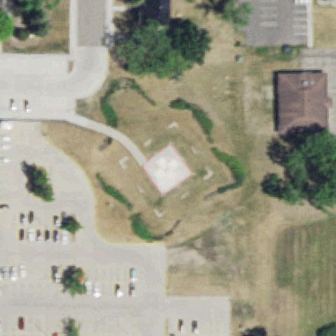 Confirmed
ALEXANDRIA, MN
45.8742833330001, -95.3743638889999
Faint square pad with cross marking near center surrounded by grass.
✓ Confirmed by AI vision with Claude Opus 4.8
 Confirmed
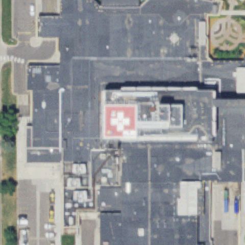
ANOKA, MN
45.1828477780001, -93.3699894439999
Red rooftop pad with white cross marking near image center.
✓ Confirmed by AI vision with Claude Opus 4.8
 Confirmed
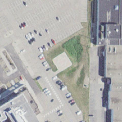
AUSTIN, MN
43.675281806, -92.976864861
Distinct light-colored square pad isolated in grass near the hospital center, but no visible H or circle marking at this resolution.
✓ Confirmed by AI vision with Claude Opus 4.8
 Confirmed
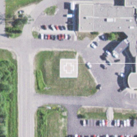
BIGFORK, MN
47.74715, -93.6467083329999
Square ground pad with white cross marking near center on grass area.
✓ Confirmed by AI vision with Claude Opus 4.8
 Confirmed
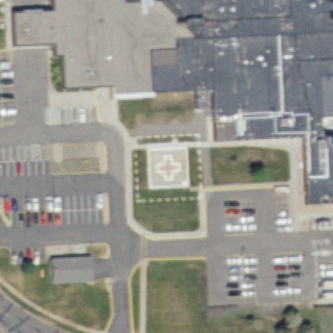
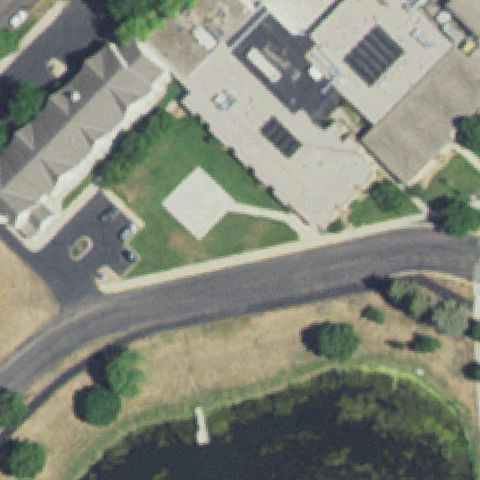
CAMBRIDGE, MN
45.5654500000001, -93.231361111
Square pad with white cross marking centered in landscaped area.
✓ Confirmed by AI vision with Claude Opus 4.8
 Confirmed
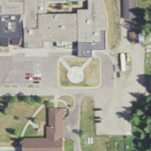
CANBY, MN
44.7074027780001, -96.2789888889999
Rooftop square pad with white cross marking near image center.
✓ Confirmed by AI vision with Claude Opus 4.8
 Confirmed
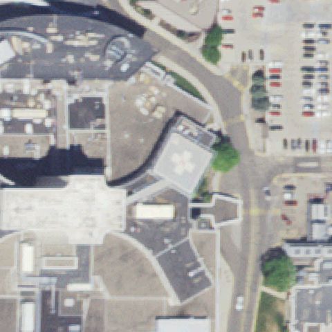
COOK, MN
47.85265, -92.679016667
Round pad with center marker in landscaped circle near image center.
✓ Confirmed by AI vision with Claude Opus 4.8
 Confirmed
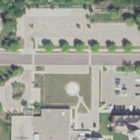
EDINA, MN
44.8861833330001, -93.326288889
Rooftop pad with white cross marking near image center.
✓ Confirmed by AI vision with Claude Opus 4.8
 Confirmed
FARIBAULT, MN
44.289502778, -93.257894444
Faint pale circular pad on lawn near image center.
✓ Confirmed by AI vision with Claude Opus 4.8
 Confirmed
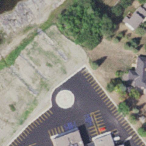
INTERNATIONAL FALLS, MN
48.5954944440001, -93.4318163889999
Circular pad with white cross marking in paved area near image center.
✓ Confirmed by AI vision with Claude Opus 4.8
 Confirmed
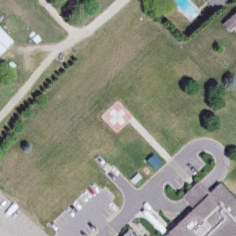
LAKE CITY, MN
44.4601095830001, -92.288133194
Red ground pad with white cross marking near center on lawn.
✓ Confirmed by AI vision with Claude Opus 4.8
 Confirmed
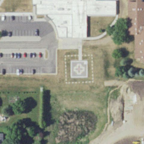
LE SUEUR, MN
44.453270194, -93.915658444
Square pad with white cross and dashed boundary near image center.
✓ Confirmed by AI vision with Claude Opus 4.8
 Confirmed
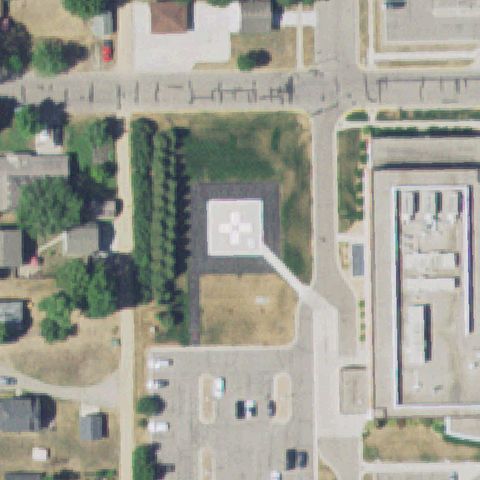
LITCHFIELD, MN
45.1197777780001, -94.5298333329999
Square pad with cross marking and dashed perimeter centered on grass.
✓ Confirmed by AI vision with Claude Opus 4.8
 Confirmed
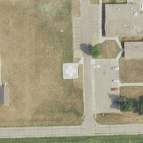
MAHNOMEN, MN
47.3115583330001, -95.9741749999999
Pale square pad near center, marking faint but distinct from surroundings.
✓ Confirmed by AI vision with Claude Opus 4.8
 Confirmed
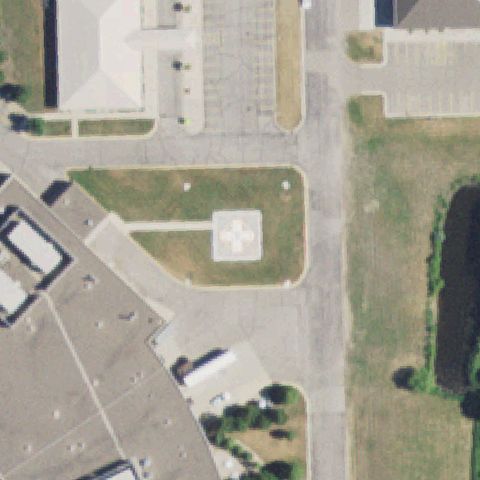
MONTEVIDEO, MN
44.9551250000001, -95.711475
Square pad with white cross marking near image center on grass island.
✓ Confirmed by AI vision with Claude Opus 4.8
 Confirmed
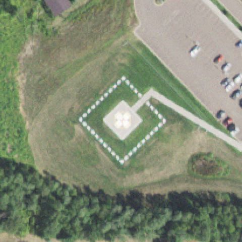
MOOSE LAKE, MN
46.4406222220001, -92.775716667
Square pad with cross marking and marked diamond boundary at image center.
✓ Confirmed by AI vision with Claude Opus 4.8
 Confirmed
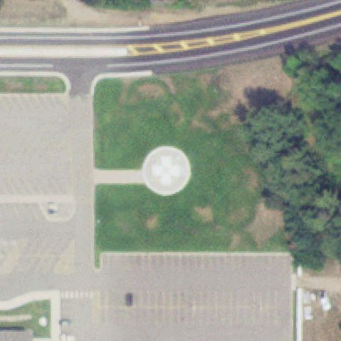
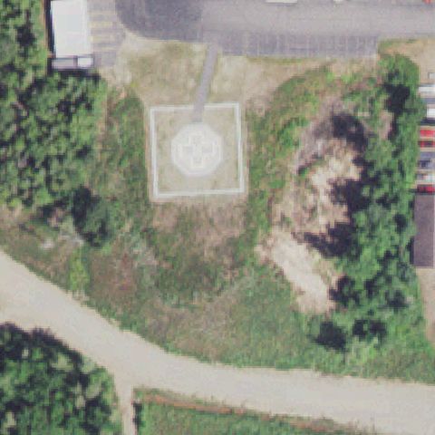
CROSBY, MN
46.482016667, -93.943025
Circular pad with white cross marking centered on lawn.
✓ Confirmed by AI vision with Claude Opus 4.8
 Confirmed
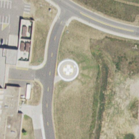
ELY, MN
47.8991150000001, -91.8729741669999
Circular pad with cross marking and dashed ring near image center.
✓ Confirmed by AI vision with Claude Opus 4.8
 Confirmed
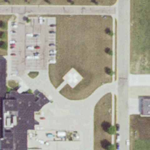
HIBBING, MN
47.4100527780001, -92.928447222
Circular pad with white cross marking near image center.
✓ Confirmed by AI vision with Claude Opus 4.8
 Confirmed
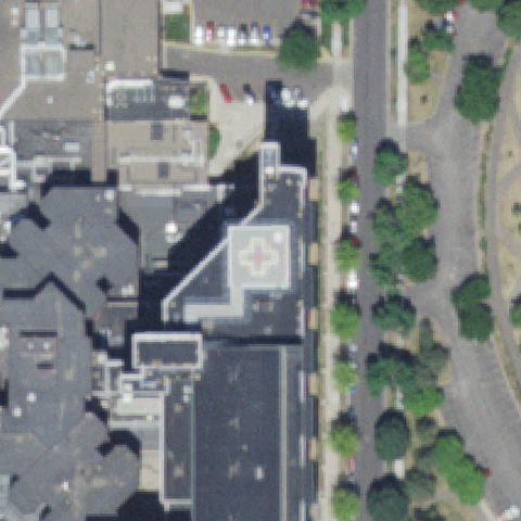
LUVERNE, MN
43.6728583330001, -96.209902778
Square pad with white cross marking centered on lawn.
✓ Confirmed by AI vision with Claude Opus 4.8
 Confirmed
MINNEAPOLIS, MN
44.954522222, -93.2604138889999
Rooftop pad with white cross marking near image center.
✓ Confirmed by AI vision with Claude Opus 4.8
 Confirmed
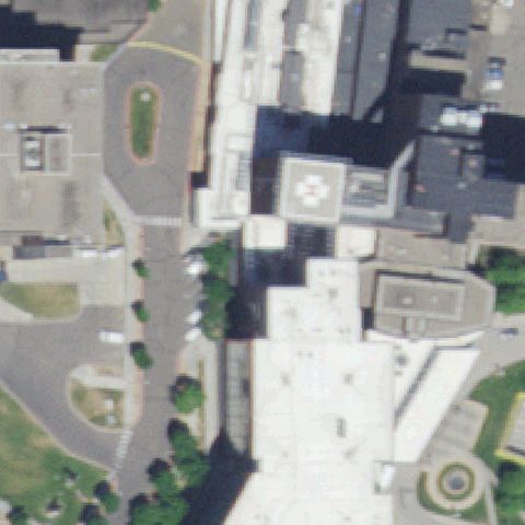
MINNEAPOLIS, MN
44.9670486110001, -93.2374461109999
Rooftop pad with white cross marking near image center.
✓ Confirmed by AI vision with Claude Opus 4.8
 Confirmed
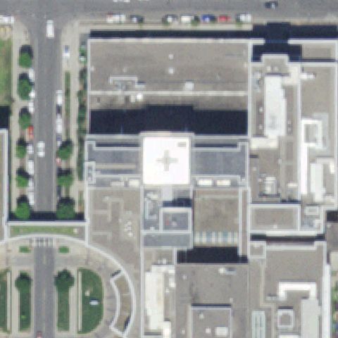
MINNEAPOLIS, MN
44.956794444, -93.262002778
White rooftop pad with cross marking near image center.
✓ Confirmed by AI vision with Claude Opus 4.8
 Confirmed
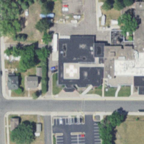
NEW PRAGUE, MN
44.546183333, -93.574852778
Rooftop pad with white cross marking near image center on hospital roof.
✓ Confirmed by AI vision with Claude Opus 4.8
 Confirmed
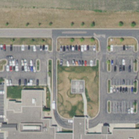
NORTHFIELD, MN
44.4743222220001, -93.192019444
Faint pale square pad on lawn near center surrounded by parking.
✓ Confirmed by AI vision with Claude Opus 4.8
 Confirmed
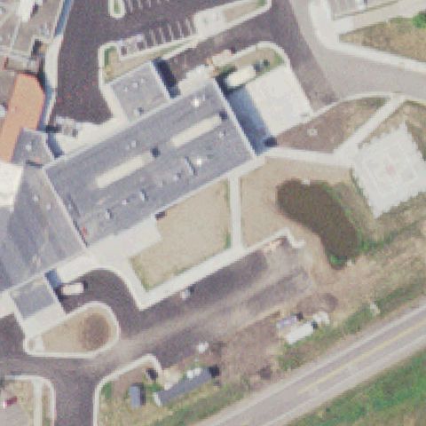
ONAMIA, MN
46.072883333, -93.6613055559999
Square pad with cross marking near image center beside building.
✓ Confirmed by AI vision with Claude Opus 4.8
 Confirmed
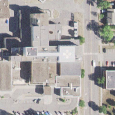
VIRGINIA, MN
47.531388889, -92.548055556
Rooftop pad with white cross marking near image center.
✓ Confirmed by AI vision with Claude Opus 4.8
 Confirmed
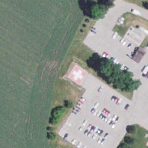
WABASHA, MN
44.3883138890001, -92.0486
Clear painted pink/white square pad with a white cross marking centered near the hospital parking area.
✓ Confirmed by AI vision with Claude Opus 4.8
 Confirmed
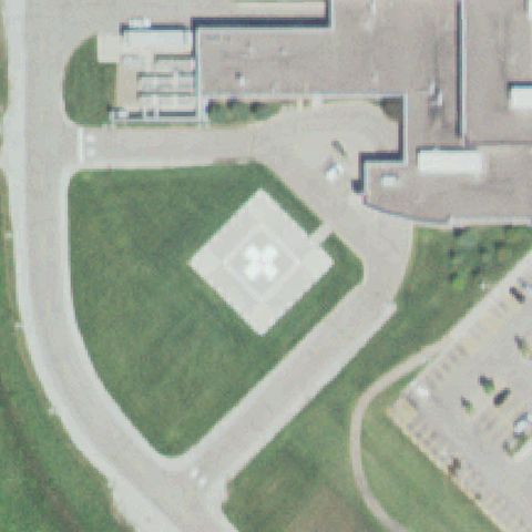
OWATONNA, MN
44.111436111, -93.252
Square pad with white cross marking centered on lawn.
✓ Confirmed by AI vision with Claude Opus 4.8
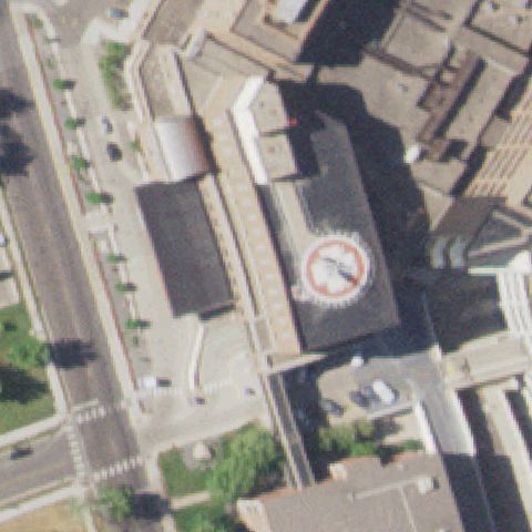 Confirmed
ST CLOUD, MN
45.5742277780001, -94.169327778
Square pad with white cross marking centered on lawn with perimeter markers.
✓ Confirmed by AI vision with Claude Opus 4.8
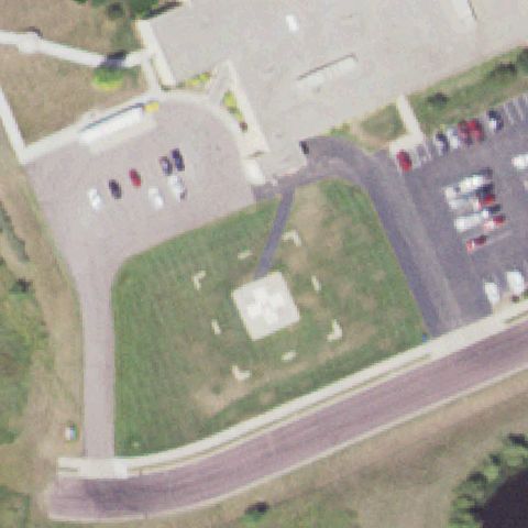 Confirmed
ST JAMES, MN
43.9694388890001, -94.622994444
Square pad with white cross marking centered on lawn.
✓ Confirmed by AI vision with Claude Opus 4.8
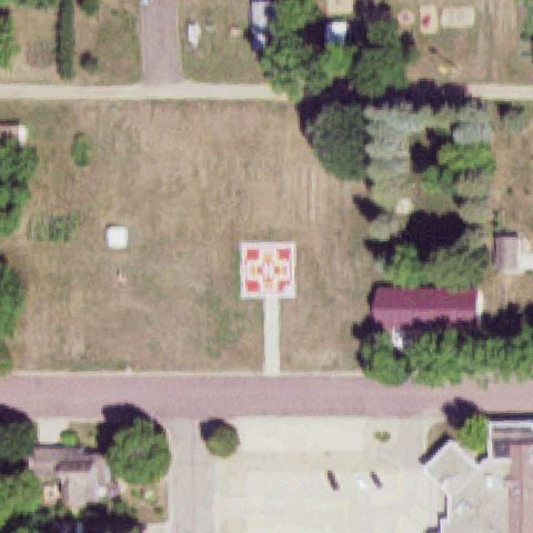 Confirmed
WESTBROOK, MN
44.0461333330001, -95.4400416669999
Red and yellow H pad marking on a raised platform near the center of the field.
✓ Confirmed by AI vision with Claude Opus 4.8
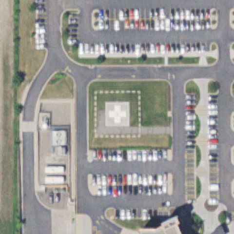 Confirmed
MAPLE GROVE, MN
45.1340555560001, -93.481638889
Clear square pad with white cross marking centered on a raised lawn among parking lots.
✓ Confirmed by AI vision with Claude Opus 4.8
 Confirmed
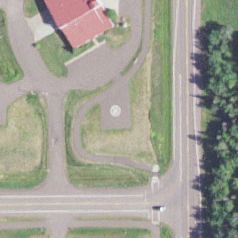
TWO HARBORS, MN
47.039305556, -91.667833333
White circular pad marking near the center on a paved fire-department lot.
✓ Confirmed by AI vision with Claude Opus 4.8
 Confirmed
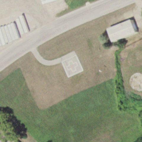
MADELIA, MN
44.0436111110001, -94.418055556
Square pad with a cross marking near the center of an open field.
✓ Confirmed by AI vision with Claude Opus 4.8
 Confirmed
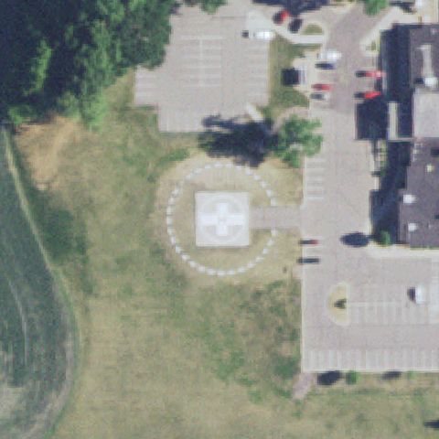
SLEEPY EYE, MN
44.2993888890001, -94.729508333
Square pad with cross marking inside a dashed circle FATO centered on the lawn.
✓ Confirmed by AI vision with Claude Opus 4.8
 Confirmed
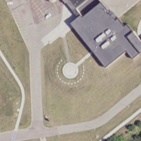
WINDOM, MN
43.8783577780001, -95.1132188889999
Circular pad with dashed circle marking near the center on grass.
✓ Confirmed by AI vision with Claude Opus 4.8
 Confirmed
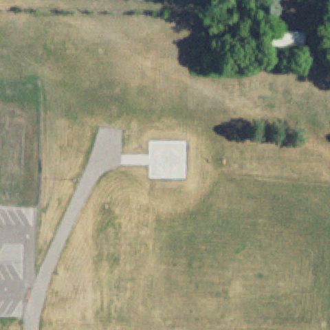
BENSON, MN
45.3140527780001, -95.613880556
Square pad with a faint circle marking near the center of the field.
✓ Confirmed by AI vision with Claude Opus 4.8
 Confirmed
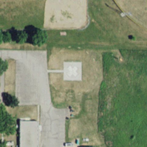
APPLETON, MN
45.2002722220001, -96.007611111
Square pad with white cross marking near the center of the grounds.
✓ Confirmed by AI vision with Claude Opus 4.8
 Confirmed
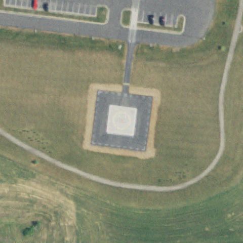
OLIVIA, MN
44.773631111, -94.972055556
Clear square pad with circle marking centered on a graded lawn.
✓ Confirmed by AI vision with Claude Opus 4.8
 Confirmed
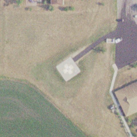
BAUDETTE, MN
48.706388889, -94.601888889
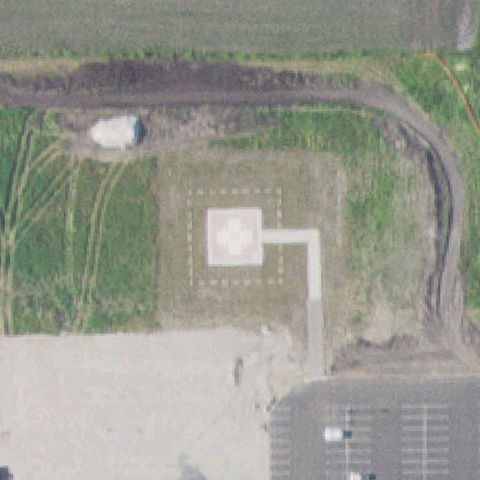
Square pad with a cross/clover marking near the center of the field.
✓ Confirmed by AI vision with Claude Opus 4.8
 Confirmed
GLENCOE, MN
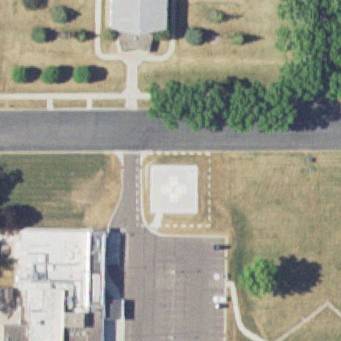
44.7804063890001, -94.1530213889999
Square pad with cross marking and dashed FATO outline near center.
✓ Confirmed by AI vision with Claude Opus 4.8
 Confirmed
ARLINGTON, MN
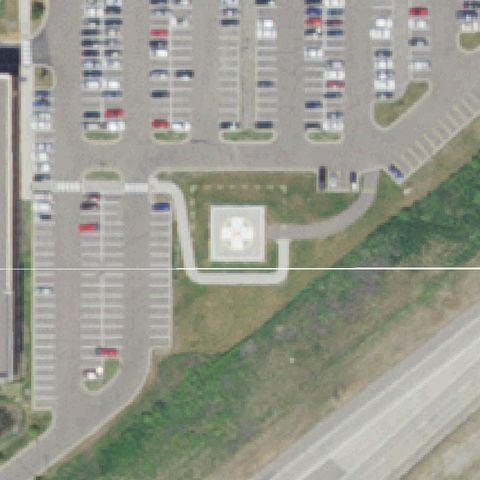
44.6111578060001, -94.084722222
Square pad with cross marking and dashed outline near the center on grass.
✓ Confirmed by AI vision with Claude Opus 4.8
 Confirmed
BURNSVILLE, MN
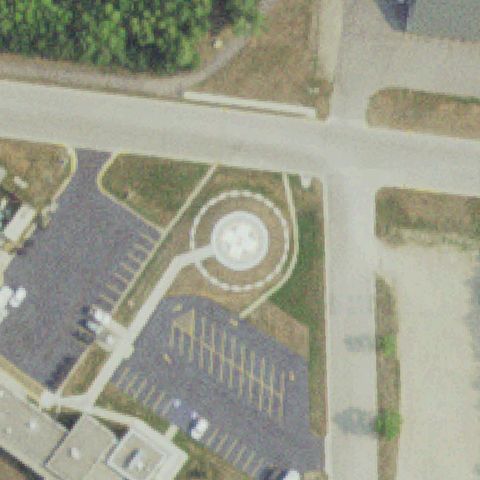
44.747319444, -93.272780556
Square pad with cross marking near center surrounded by hospital parking.
✓ Confirmed by AI vision with Claude Opus 4.8
 Confirmed
FOSSTON, MN
47.5716833330001, -95.737955556
Circular pad with cross marking and dashed ring near the center.
✓ Confirmed by AI vision with Claude Opus 4.8
 Confirmed
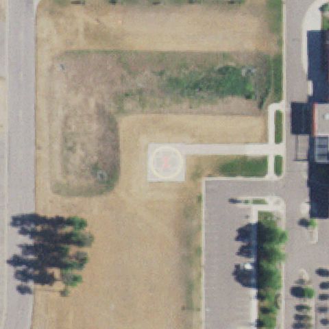
MELROSE, MN
45.6757671940001, -94.826246861
Circular pad with a red H marking near the center on a lawn.
✓ Confirmed by AI vision with Claude Opus 4.8
 Confirmed
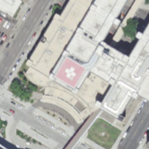
MINNEAPOLIS, MN
44.972055556, -93.262605556
Red rooftop pad with white clover marking near the center of a downtown hospital roof.
✓ Confirmed by AI vision with Claude Opus 4.8
 Confirmed
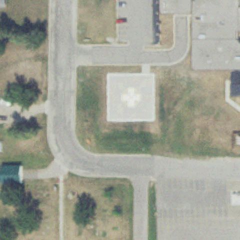
ROSEAU, MN
48.838611111, -95.761388889
Square pad with white cross marking near the center of the grounds.
✓ Confirmed by AI vision with Claude Opus 4.8
 Confirmed
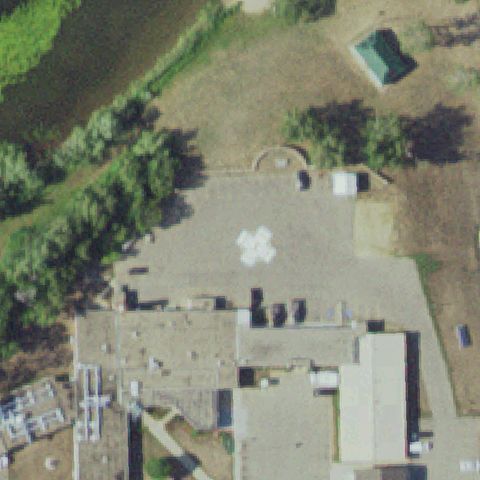
BAGLEY, MN
47.5265805560001, -95.401788889
White clover/cross marking on a large paved area near the center.
✓ Confirmed by AI vision with Claude Opus 4.8
 Confirmed
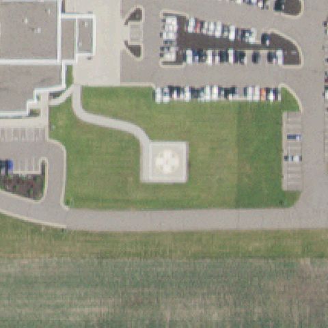
CANNON FALLS, MN
44.4857166670001, -92.902222222
Square pad with cross marking near the center on a maintained lawn.
✓ Confirmed by AI vision with Claude Opus 4.8
 Confirmed
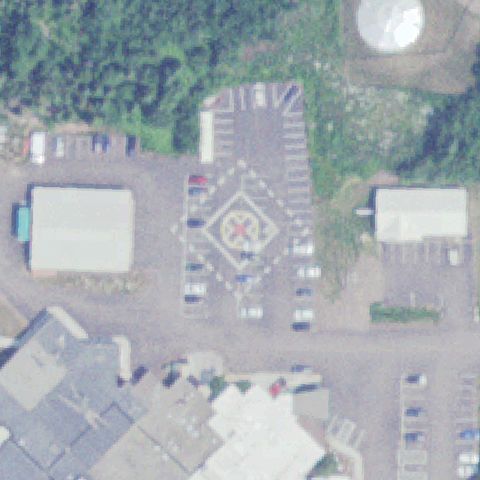
GRAND MARAIS, MN
47.7570138890001, -90.3411944439999
Diamond/circle pad with red cross marking near center in a paved lot.
✓ Confirmed by AI vision with Claude Opus 4.8
 Confirmed
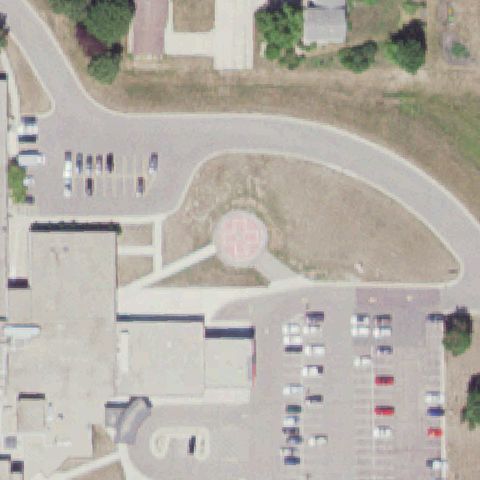
FAIRMONT, MN
43.6395115280001, -94.449080556
Circular pad with cross marking near the center between buildings.
✓ Confirmed by AI vision with Claude Opus 4.8
 Confirmed
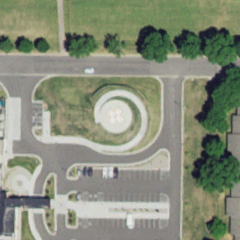
DAWSON, MN
44.9317055560001, -96.065605278
Circular pad with a clover/cross marking near the center of the lawn.
✓ Confirmed by AI vision with Claude Opus 4.8
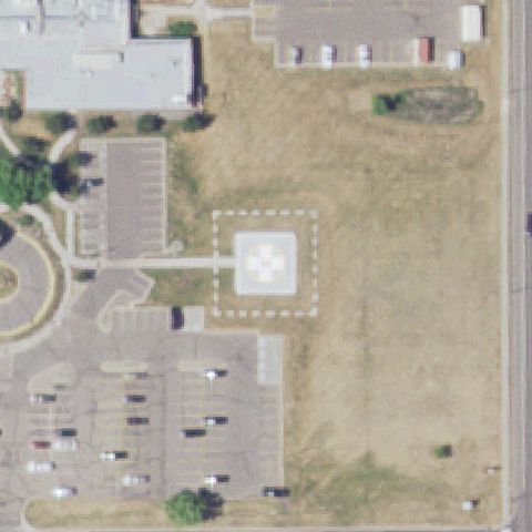 Confirmed
BUFFALO, MN
45.193847222, -93.8697583329999
Square pad with cross marking and dashed FATO outline near the center.
✓ Confirmed by AI vision with Claude Opus 4.8
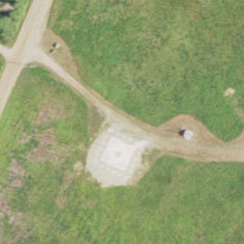 Confirmed
CRANE LAKE, MN
48.260173889, -92.47583
Square gravel/concrete pad with a faint marking near the center of the clearing.
✓ Confirmed by AI vision with Claude Opus 4.8
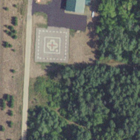 Confirmed
PINE RIVER, MN
46.7322222220001, -94.206388889
Square pad with red cross and dashed outline near the center beside a building.
✓ Confirmed by AI vision with Claude Opus 4.8
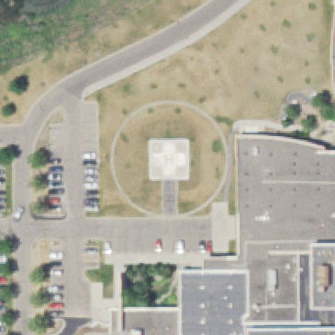 Confirmed
SHAKOPEE, MN
44.772302778, -93.503913889
Square pad with H marking inside a circular FATO centered on the grounds.
✓ Confirmed by AI vision with Claude Opus 4.8
 Confirmed
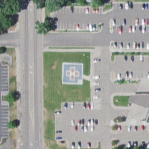
LITTLE FALLS, MN
45.967027778, -94.363805556
Square pad with cross marking near the center on a grass lawn.
✓ Confirmed by AI vision with Claude Opus 4.8
 Confirmed
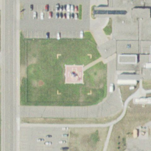
BEMIDJI, MN
47.502944444, -94.90065
Pinkish square pad with marking and corner FATO markers near center.
✓ Confirmed by AI vision with Claude Opus 4.8
 Confirmed
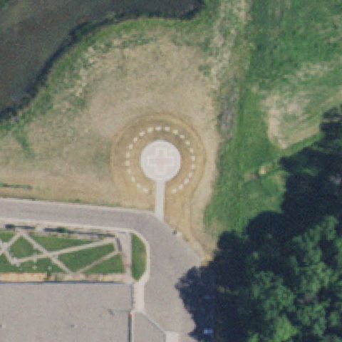
LONG PRAIRIE, MN
45.9738888890001, -94.8425
Circular pad with cross marking and dashed ring near the center.
✓ Confirmed by AI vision with Claude Opus 4.8
 Confirmed
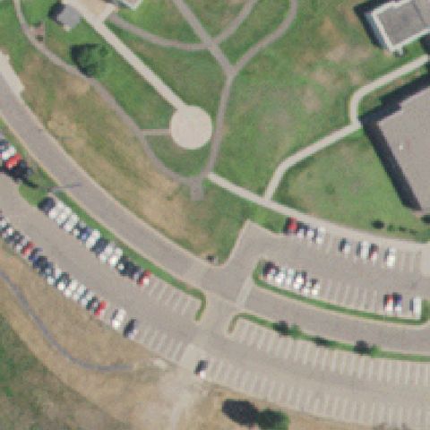
WYOMING, MN
45.320555556, -93.0008333329999
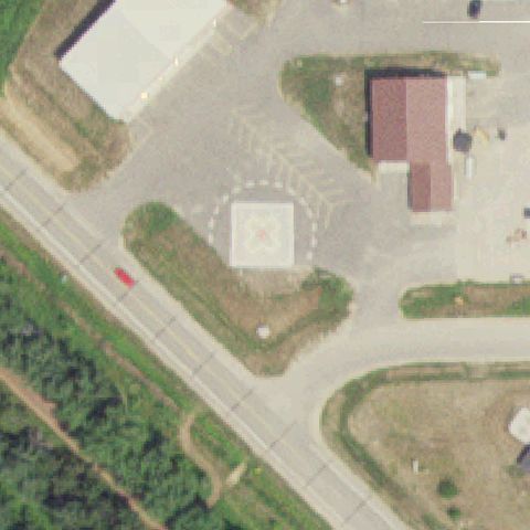
Plain light circular pad near center with no visible markings, ambiguous.
✓ Confirmed by AI vision with Claude Opus 4.8
 Confirmed
REMER, MN
47.0594444440001, -93.921388889
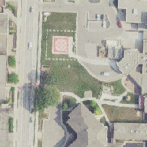
Square pad with red cross and dashed circle FATO near the center.
✓ Confirmed by AI vision with Claude Opus 4.8
 Confirmed
DETROIT LAKES, MN
46.8144444440001, -95.845
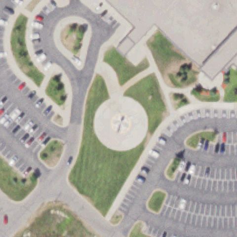
Square pad with red clover/cross marking and dashed FATO near center.
✓ Confirmed by AI vision with Claude Opus 4.8
 Confirmed
GRAND RAPIDS, MN
47.2226755560001, -93.555687361
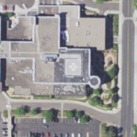
Circular pad with clover/cross marking near the center on a lawn.
✓ Confirmed by AI vision with Claude Opus 4.8
 Confirmed
WACONIA, MN
44.8430361110001, -93.7914888889999
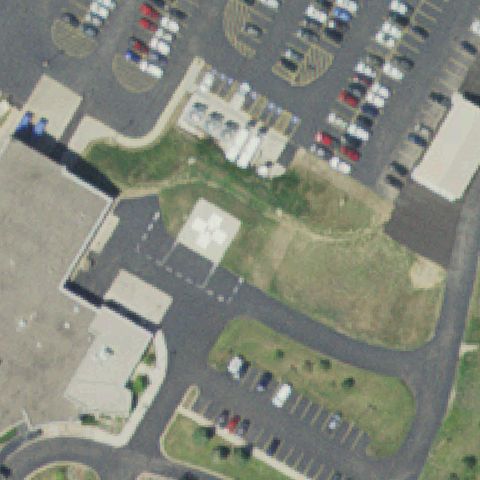
Square pad with cross marking near center on a paved hospital area.
✓ Confirmed by AI vision with Claude Opus 4.8
 Confirmed
STAPLES, MN
46.3516666670001, -94.7505555559999
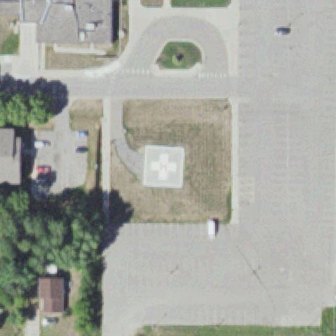
Square pad with white cross/clover marking near the center of the lot.
✓ Confirmed by AI vision with Claude Opus 4.8
 Confirmed
DEER RIVER, MN
47.3432405560001, -93.791003056
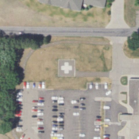
Square pad with white cross marking near the center on a clearing.
✓ Confirmed by AI vision with Claude Opus 4.8
 Confirmed
PRINCETON, MN
45.5588660000001, -93.59155
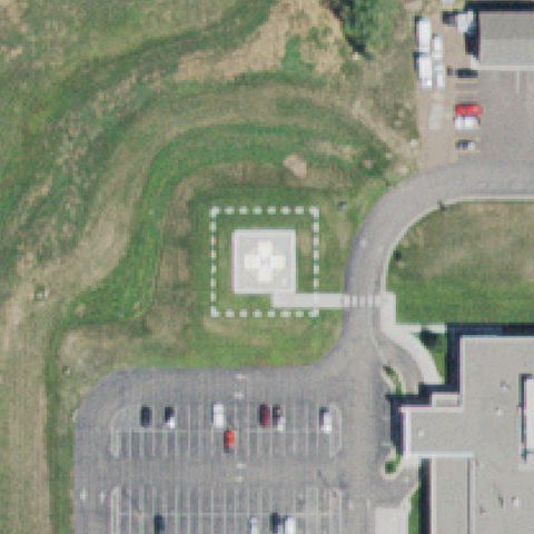
A square pad with a white medical-cross marking is visible near the center on open ground by the hospital lot.
✓ Confirmed by AI vision with Claude Opus 4.8
 Confirmed
SANDSTONE, MN
46.1194800000001, -92.886070278
A square pad with marking inside a dashed safety perimeter sits near the center on grass by the hospital.
✓ Confirmed by AI vision with Claude Opus 4.8