 Not visible
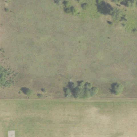
9MI1 Custer Main
BATTLE CREEK, MI
42.331666667, -85.296666667
Center is open field and tree line with no pad or markings.
85% confidence
Verify on the map →
Is there really a pad here?
Data: FAA Airports (ArcGIS open layer) | Imagery: USGS NAIP (public domain) | AI vision: Claude Opus 4.8 | built 2026-07-05
A flag means a pad could not be confirmed from current imagery - never that a heliport is missing, fake, or mislocated. Help us check: vote on each one below.
Not visibleBATTLE CREEK, MI
42.331666667, -85.296666667
Center is open field and tree line with no pad or markings.
 Not visible
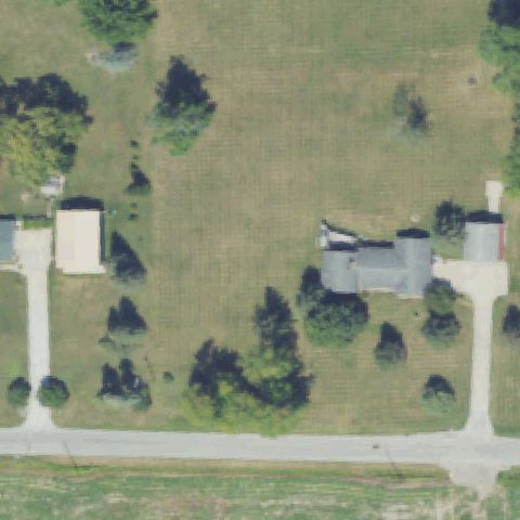
BAY CITY, MI
43.558858333, -83.862255556
Rural property with lawn and buildings but no pad at center.
 Not visible
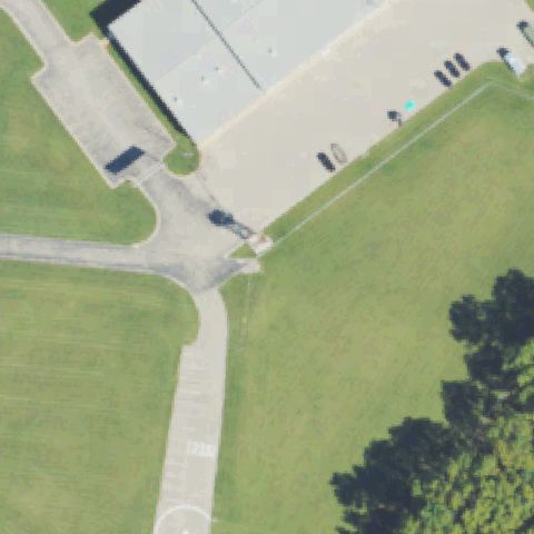
BROOKLYN, MI
42.0588888890001, -84.239333333
Grassy infield with paths and parking, no helipad marking at center.
 Not visible
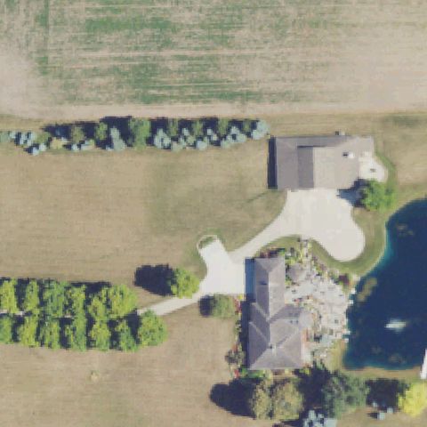
CARLETON, MI
42.0430555560001, -83.359444444
Large home, driveway and pond, no helipad at center.
 Not visible
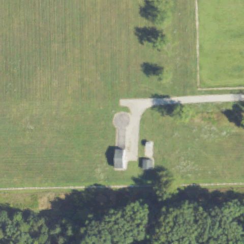
CHELSEA, MI
42.2527777780001, -84.007397222
Driveway and outbuildings with a paved turnaround but no helipad markings.
 Not visible
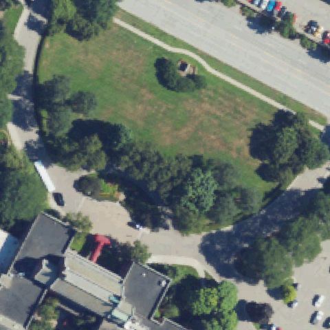
DEARBORN, MI
42.2972600000001, -83.227149444
Grassy lawn area at center with paths but no visible pad markings.
 Not visible
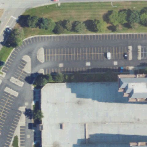
DEARBORN, MI
42.3208708330001, -83.219371667
Empty parking lot and rooftop, no helipad at center.
 Not visible
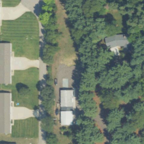
DORR, MI
42.7274166670001, -85.715638889
Wooded residential lot with no pad at center.
 Not visible
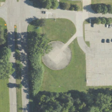
FLINT, MI
43.049408333, -83.6759611109999
Circular dirt/gravel clearing with no helipad markings at center.
 Not visible
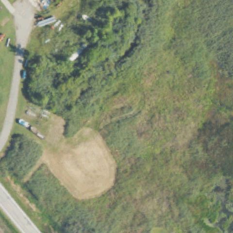
HARSENS ISLAND, MI
42.5922277780001, -82.57195
Overgrown field with a bare dirt patch but no pad markings.
 Not visible
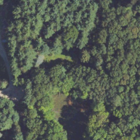
HIGHLAND, MI
42.656974722, -83.650221944
Dense forest canopy at center with no pad visible.
 Not visible
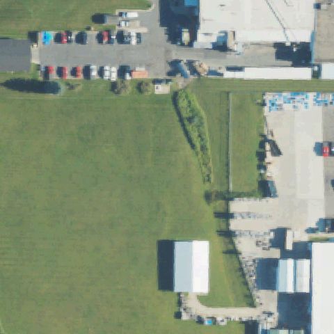
LANSING, MI
42.6805555560001, -84.526666667
Open grass field beside industrial buildings, no pad at center.
 Not visible
MARINE CITY, MI
42.690394444, -82.561622222
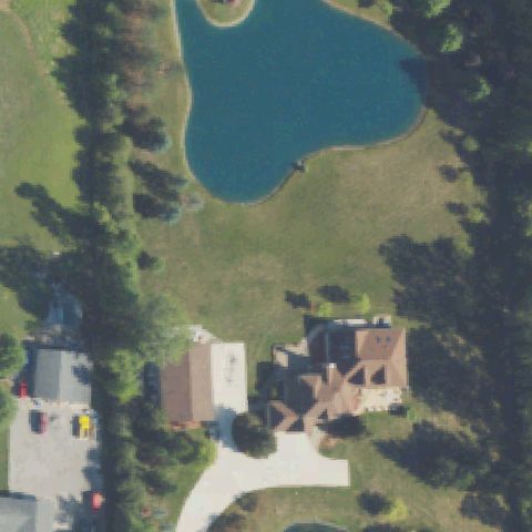
Residential lawn with a pond, no pad at center.
 Not visible
MARINE CITY, MI
42.712580556, -82.5886
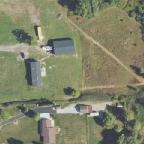
Rural property with field and buildings, no pad markings at center.
 Not visible
HURON TOWNSHIP, MI
42.163333333, -83.345277778
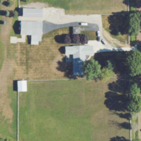
Rural lawn and field, white shed off-center, no pad at center.
 Not visible
MIDDLEVILLE, MI
42.749347222, -85.477288889
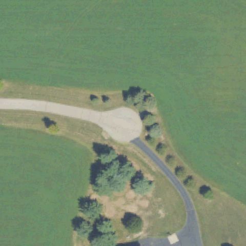
Field with a driveway turnaround and trees, no pad at center.
 Not visible
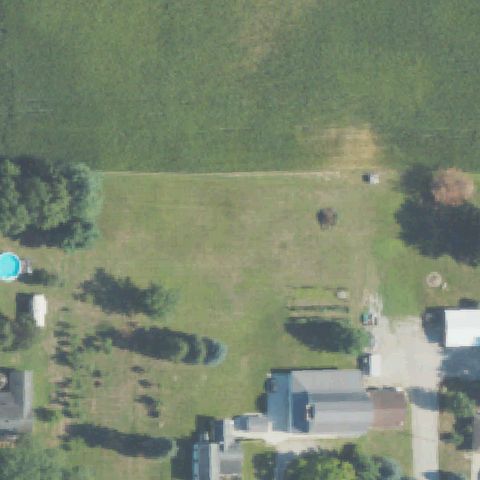
MONROE, MI
41.7949166670001, -83.533583333
Open mowed lawn and residential yards at center with no pad markings.
 Not visible
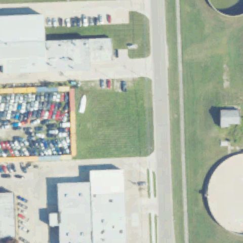
NEW BALTIMORE, MI
42.6786777780001, -82.751055556
Industrial salvage yard, grass strip and buildings at center but no helipad markings.
 Not visible
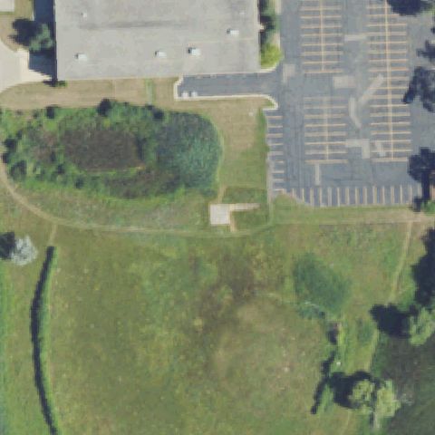
NOVI, MI
42.4500347220001, -83.469935278
Center is open grass and brush between a building parking lot and field, no pad.
 Not visible
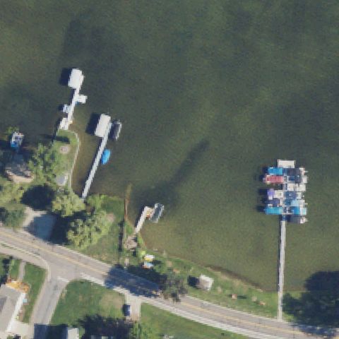
NOVI, MI
42.5139225, -83.489380833
Lakeshore with docks and boats at center, no landing pad.
 Not visible
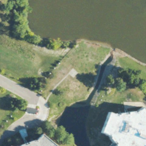
NOVI, MI
42.490008333, -83.4647277779999
Pond and grassy bank with paths at center, no helipad marking.
 Not visible
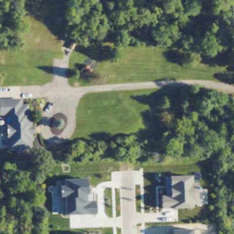
NOVI, MI
42.440222222, -83.5158611109999
Wooded lot with houses and lawn, no pad visible at center.
 Not visible
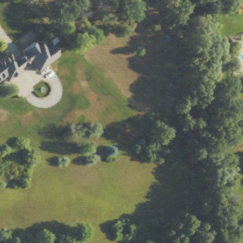
OAKLAND TOWNSHIP, MI
42.721655556, -83.1815861109999
Estate lawn and trees with driveway circle, no helipad markings at center.
 Not visible
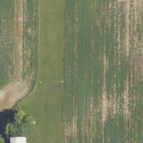
ONONDAGA, MI
42.4250000000001, -84.578027778
Mowed grass airstrip/field at center, no distinct prepared helipad.
 Not visible
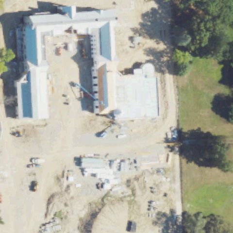
ORCHARD LAKE, MI
42.572255, -83.394380278
Active building construction site at center, no helipad markings visible.
 Not visible
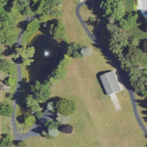
ORCHARD LAKE, MI
42.5722552780001, -83.391046667
Estate grounds with pond, lawn and outbuilding, no pad markings.
 Not visible
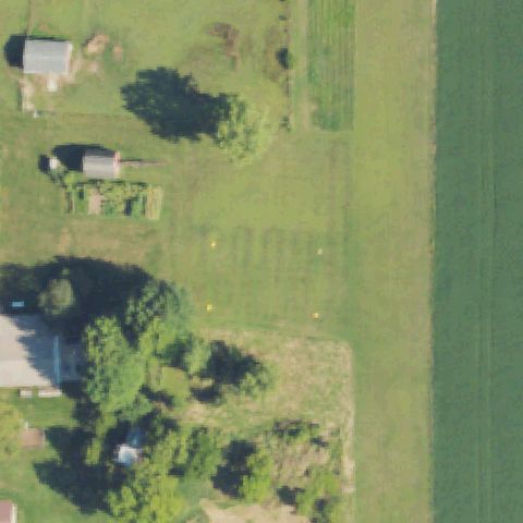
TECUMSEH, MI
42.019233333, -83.84865
Farm field and outbuildings, faint markers but no distinct prepared pad at center.
 Not visible
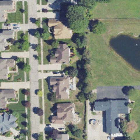
UTICA, MI
42.6608658330001, -82.9963161109999
Residential subdivision and pond at center, no helipad markings.
 Not visible
ROCHESTER, MI
42.6603102780001, -83.155488056
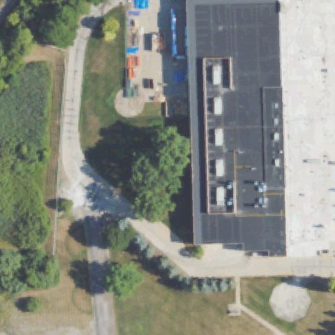
Building rooftop and grounds at center, no helipad markings visible.
 Not visible
ROMEO, MI
42.792744444, -83.0257583329999
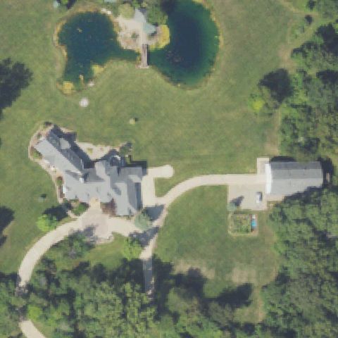
Estate lawn with pond, house and silo, no pad markings at center.
 Not visible
RUBY, MI
43.0069722220001, -82.601308333
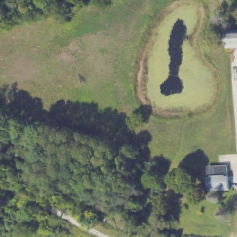
Open field with retention pond and woods, no helipad at center.
 Not visible
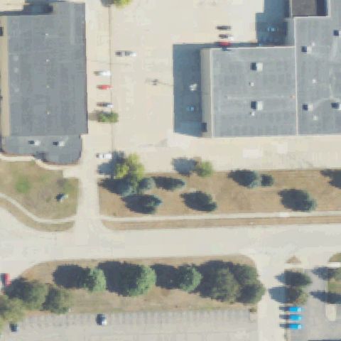
SOUTHFIELD, MI
42.460591111, -83.217222222
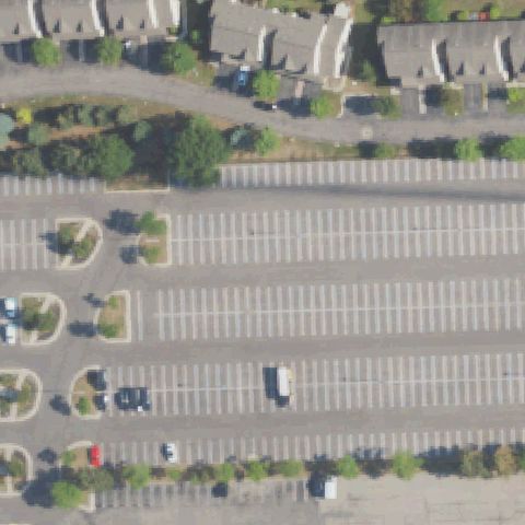
Large striped parking lot at center, no helipad markings.
 Not visible
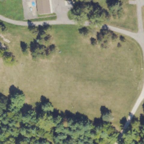
UTICA, MI
42.6647222220001, -83.0122222219999
Industrial buildings, pavement and landscaped strips, no pad markings.
 Not visible
WEST BRANCH, MI
44.2894527780001, -84.171855556
Open grassy field bordered by trees, no helipad markings at center.
 Not visible
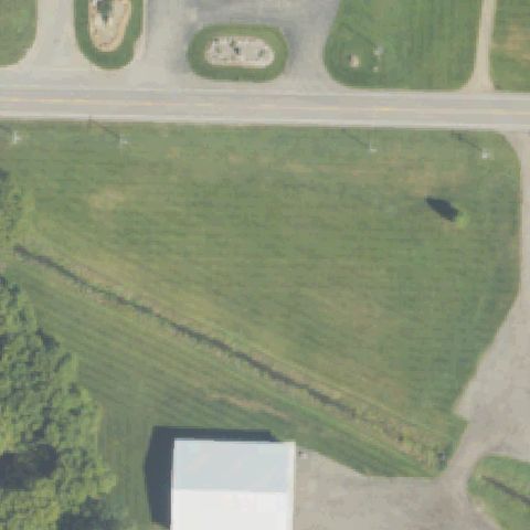
HAMILTON, MI
42.666019444, -85.987636111
Open field along a road at center, no helipad markings.
 Not visible
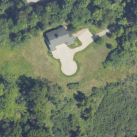
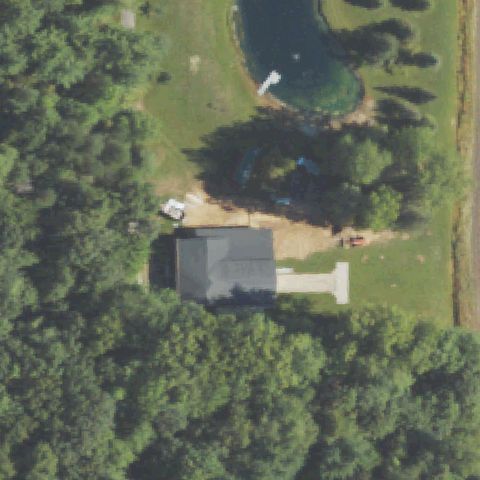
ADA, MI
42.9444222220001, -85.513030556
House with large gravel driveway in wooded clearing, no pad markings.
 Not visible
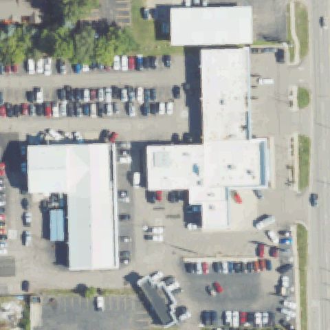
BIRCH RUN, MI
43.2911083330001, -83.7405388889999
Rural property with barn and ponds, no distinct helipad at center.
 Not visible
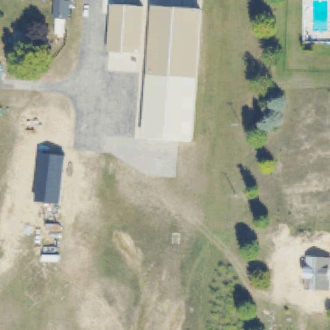
DAVISON, MI
43.015833333, -83.518433333
Commercial building rooftops and parking at center, no pad markings.
 Not visible
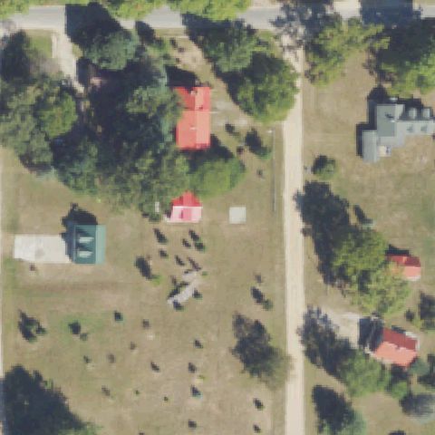
TRAVERSE CITY, MI
44.744727778, -85.749533333
Industrial yard with buildings and gravel, no helipad markings at center.
 Not visible
HARRIETTA, MI
44.250532417, -85.724473222
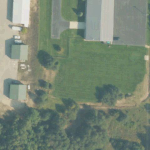
Rural homestead with sheds and livestock yard, no helipad markings.
 Not visible
PETOSKEY, MI
45.395583333, -84.874333333
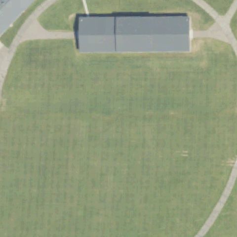
Grass yard between farm buildings at center, no helipad markings.
 Not visible
HICKORY CORNERS, MI
42.440113889, -85.416805556
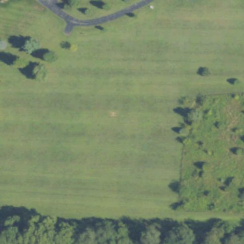
Only a small building roof on open grass; no pad or marking at center.
 Not visible
UNION CITY, MI
42.0583333330001, -85.161805556
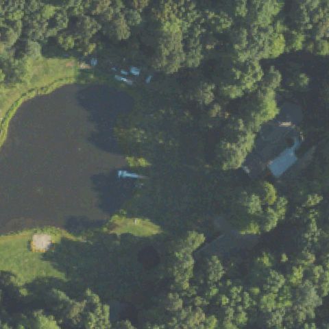
Open mowed field with only a faint mark, no distinct pad at center.
 Not visible
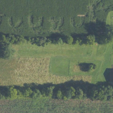
HARTLAND TOWNSHIP, MI
42.6047500000001, -83.735027778
Pond and forest with residential structures; no helipad at center.
 Not visible
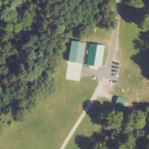
UNION CITY, MI
42.0108333330001, -85.1205555559999
Farm field and field rows; no pad or marking at center.
 Not visible
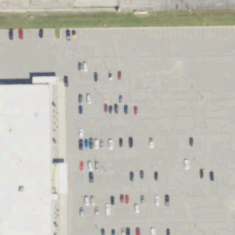
EVART, MI
43.8561611110001, -85.325097222
Cropland and tree rows with no distinct helipad at center.
 Not visible
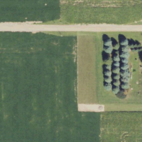
WEST BRANCH, MI
44.2732083330001, -84.222730556
Large cracked parking lot with scattered cars; no helipad marking at center.
 Not visible
OWOSSO, MI
43.0713250000001, -84.205208333
Open farm fields and a tree row; no pad at center.
 Not visible
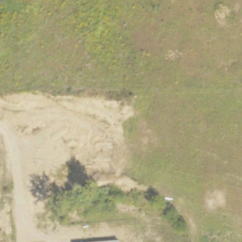
GALIEN TOWNSHIP, MI
41.7961583330001, -86.5206277779999
Sand and brush clearing with no prepared pad or marking at center.
 Not visible
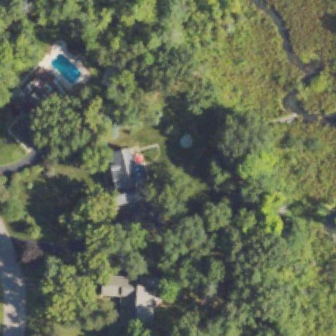
HOWELL, MI
42.525, -83.863888889
Wooded residential lot; no distinct helipad visible at center.
 Not visible
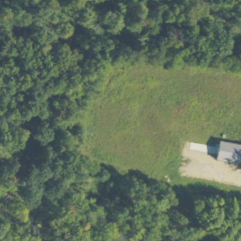
ALLEGAN, MI
42.459958333, -85.9712916669999
Forest clearing with a building at the edge; no pad at center.
 Not visible
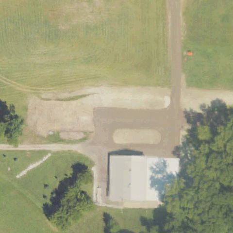
DELTON, MI
42.523111111, -85.480083333
Rural property with gravel drives and a building; no marked pad at center.
 Not visible
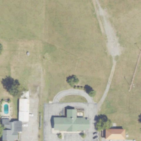
THREE OAKS, MI
41.7997280000001, -86.617558
Open lawn with a house and driveway; no helipad at center.
 Not visible
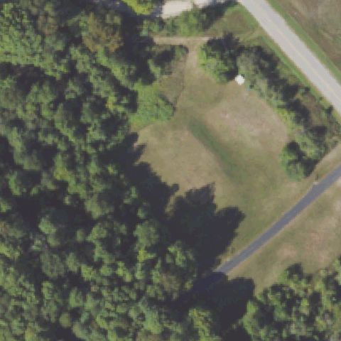
BENZONIA, MI
44.563247222, -86.1387722219999
Mowed clearing bordered by forest; no pad or marking at center.
 Not visible
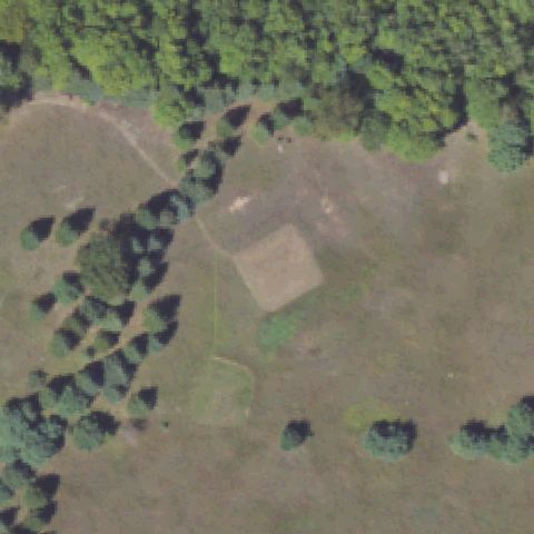
FRANKFORT, MI
44.544397222, -86.122638889
Brown field clearing with a faint square patch but no helipad marking at center.
 Not visible
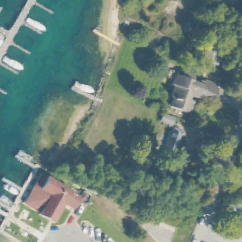
LELAND, MI
45.024694444, -85.76115
Lakeside lawn with docks and homes; no helipad at center.
 Not visible
MAPLE CITY, MI
44.8800055560001, -85.938728611
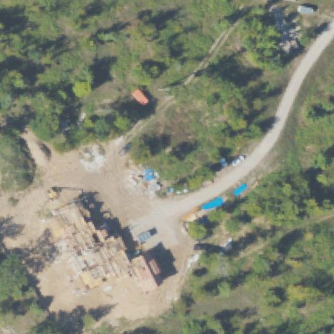
Cluttered industrial/storage yard; no marked pad at center.
 Not visible
MASON, MI
42.6567450000001, -84.377156111
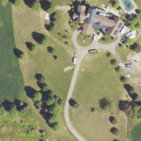
Farm lawn with a house and driveway; no pad at center.
 Not visible
WILLIAMSTON, MI
42.7542260000001, -84.3382819999999
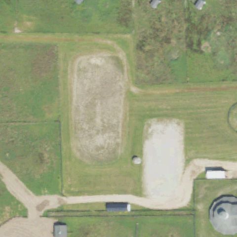
Riding-arena oval and pasture; no helipad markings at center.
 Not visible
ROCKFORD, MI
43.0542840000001, -85.4365999999999
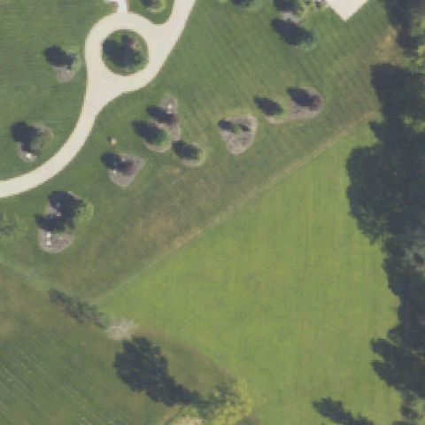
Grassy field with scattered trees; no pad at center.
 Not visible
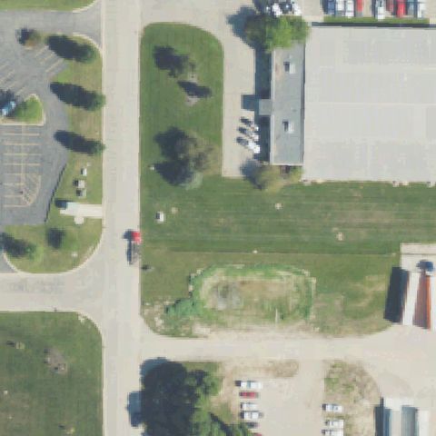
SCS, MI
43.1581650000001, -85.7212729999999
Lawn between commercial buildings with a worn oval patch but no helipad marking at center.
 Not visible
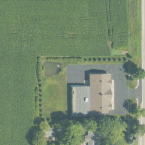
RICHLAND, MI
42.3925970000001, -85.456083
Farm field and a building roof; no marked pad at center.
 Not visible
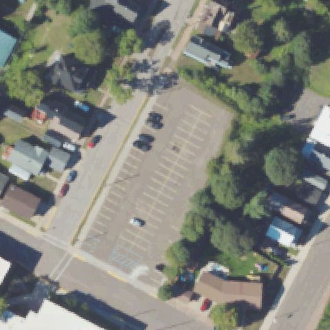
LAURIUM, MI
47.2394390000001, -88.442262
Town parking lot; no helipad marking at center.
 Not visible
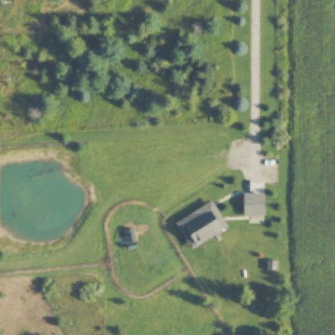
HEMLOCK, MI
43.4479305560001, -84.245438889
Rural property with pond and farm buildings; no pad at center.
 Not visible
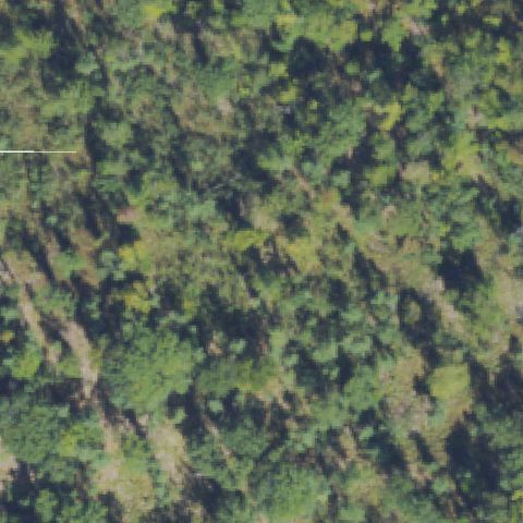
TRAVERSE CITY, MI
44.6853305560001, -85.739027778
Dense forest canopy fills the frame; no pad at center.
 Not visible
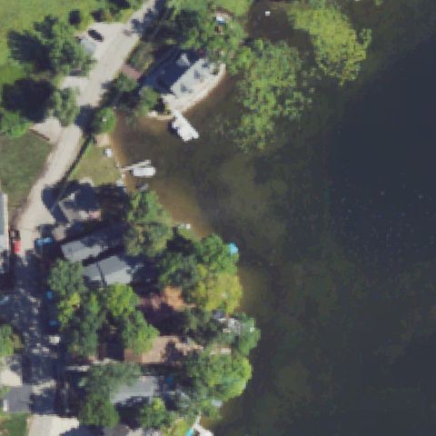
LAKE ORION, MI
42.7785138890001, -83.2607055559999
Lakeshore with homes and docks; no helipad at center.
 Not visible
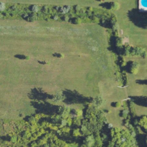
BAY CITY, MI
43.640555556, -84.0119444439999
Open mowed field bordered by trees; no pad or marking at center.
 Off-center
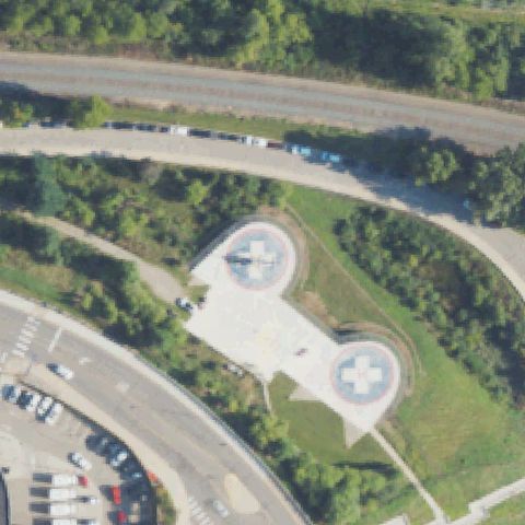
ANN ARBOR, MI
42.285416667, -83.7276027779999
Two circular crosses-marked helipads clearly visible but below image center.
 Off-center
GRAND RAPIDS, MI
42.9659500000001, -85.6743
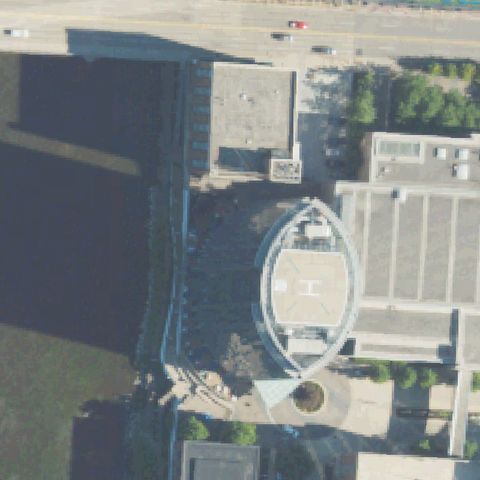
Elliptical rooftop helipad with markings, right of image center.
 Off-center
LANSING, MI
42.734478806, -84.536043306
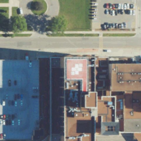
Red rooftop pad with white cross/H markings, left of center.
 Off-center
SAGINAW, MI
43.4257916670001, -83.939572222
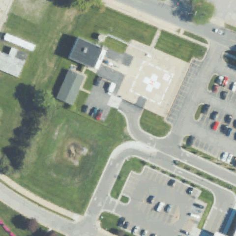
Circular hospital pad with cross marking present but right of image center.
 Off-center
PONTIAC, MI
42.612111111, -83.275861111
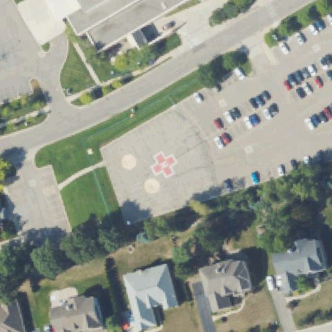
Circular pad with cross marking present but upper-left of image center.
 Off-center
STURGIS, MI
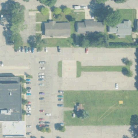
41.795308333, -85.4065666669999
Square pad with cross marking present but left of center beside parking.
 Off-center
LANSING, MI
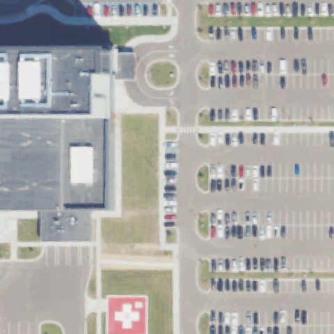
42.7014472220001, -84.5004111109999
Red square pad with white cross visible at bottom edge, away from center.
 Uncertain
DETROIT, MI
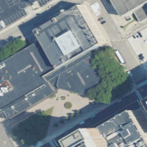
42.329760278, -83.053531667
Building rooftops and courtyard at center but no clear pad markings.
 Uncertain
FOWLERVILLE, MI
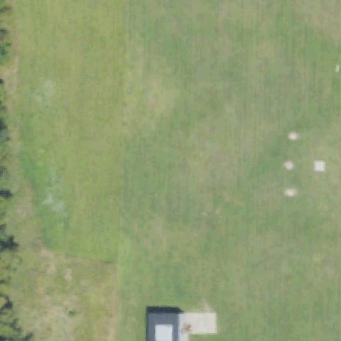
42.7170833330001, -84.0619444439999
Open grass field with faint patches off to the side but no center pad.
 Uncertain
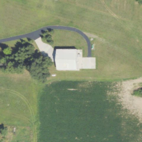
MASON, MI
42.6013178330001, -84.400794
Open grassy lot behind buildings with faint patch but no clear pad marking.
 Uncertain
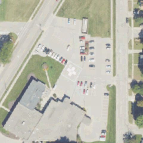
SHELBY, MI
43.6070861110001, -86.364438889
Paved lot with light rectangular patch at center but no clear pad markings.
 Uncertain
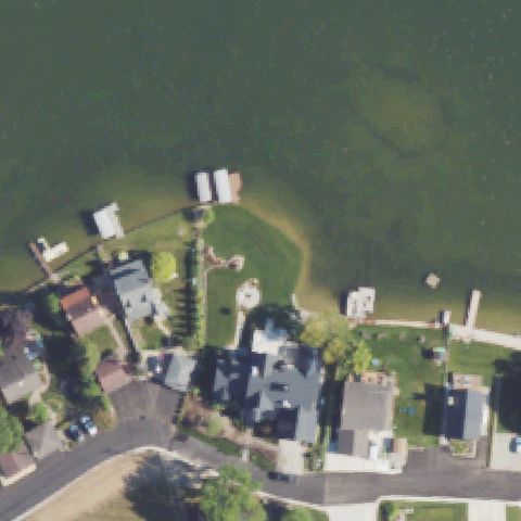
LEONARD, MI
42.823252778, -83.152277778
Lakeside lawn and homes with a faint round feature but no clear marked pad at center.
 Uncertain
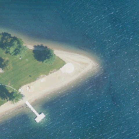
KEWADIN, MI
45.0264916670001, -85.325561111
Lakeside sandy point with a faint light circle but no clear marked pad at center.
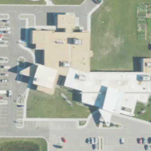 Uncertain
BAY CITY, MI
43.6177222220001, -83.930677778
Medical campus pavement with a faint marking but no clear helipad at center.
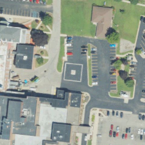 Confirmed
COLDWATER, MI
41.9379388890001, -84.989208333
Square marked pad with center symbol in the lot at image center.
✓ Confirmed by AI vision with Claude Opus 4.8
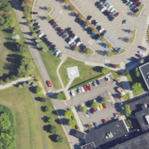 Confirmed
COMMERCE, MI
42.5933055560001, -83.4999444439999
Square pad with white cross/H marking sits at image center.
✓ Confirmed by AI vision with Claude Opus 4.8
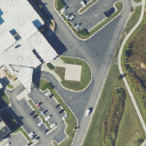 Confirmed
ALPENA, MI
45.0770833330001, -83.448066667
Tan square prepared pad near center beside the hospital building.
✓ Confirmed by AI vision with Claude Opus 4.8
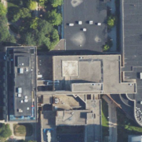 Confirmed
ANN ARBOR, MI
42.2832083330001, -83.729036111
Faint pale square rooftop pad near center of the medical building.
✓ Confirmed by AI vision with Claude Opus 4.8
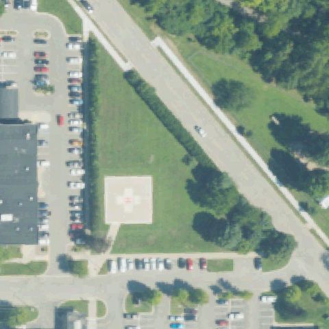 Confirmed
BIG RAPIDS, MI
43.694883889, -85.4737941669999
Tan square pad with white cross marking near image center.
✓ Confirmed by AI vision with Claude Opus 4.8
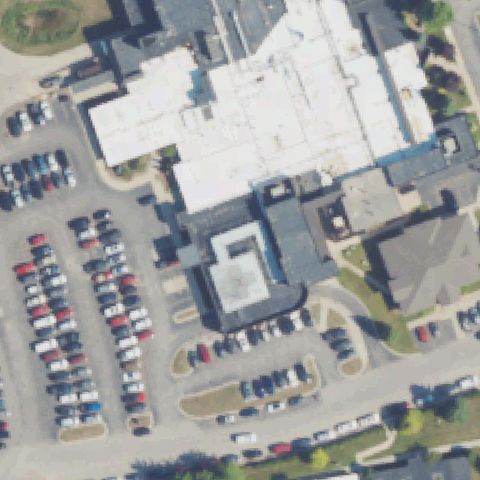 Confirmed
CHARLEVOIX, MI
45.3141666670001, -85.275
Faint pale square rooftop marking near center of hospital roof.
✓ Confirmed by AI vision with Claude Opus 4.8
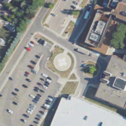 Confirmed
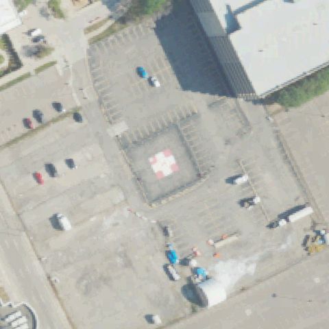
DEARBORN, MI
42.289922222, -83.215755556
Circular pad with white cross marking near image center.
✓ Confirmed by AI vision with Claude Opus 4.8
 Confirmed
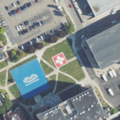
DETROIT, MI
42.356380556, -83.057347222
Large square pad with white cross at center within the lot.
✓ Confirmed by AI vision with Claude Opus 4.8
 Confirmed
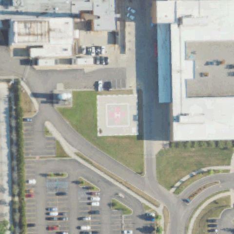
DETROIT, MI
42.368708333, -83.085377778
Red and white cross pad set in lawn near image center.
✓ Confirmed by AI vision with Claude Opus 4.8
 Confirmed
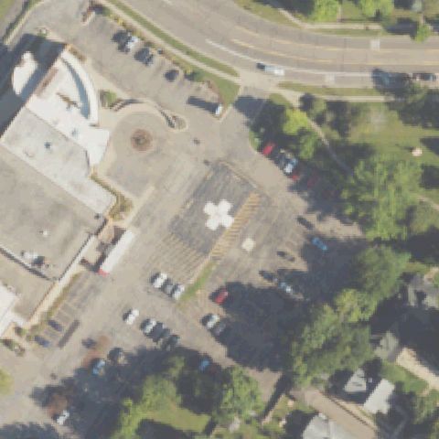
DETROIT, MI
42.418058333, -83.1826166669999
Pale square rooftop marking near center, faint but pad-like.
✓ Confirmed by AI vision with Claude Opus 4.8
 Confirmed
DOWAGIAC, MI
41.9833027780001, -86.114558333
White cross pad marking in the lot just below center.
✓ Confirmed by AI vision with Claude Opus 4.8
 Confirmed
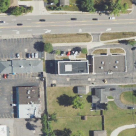
FARMINGTON HILLS, MI
42.5134444440001, -83.357777778
Faint white square on a small rooftop near image center.
✓ Confirmed by AI vision with Claude Opus 4.8
 Confirmed
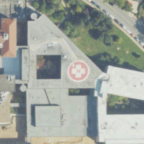
GRAND RAPIDS, MI
42.9537611110001, -85.622516667
Circular rooftop pad with red/white cross H near image center.
✓ Confirmed by AI vision with Claude Opus 4.8
 Confirmed
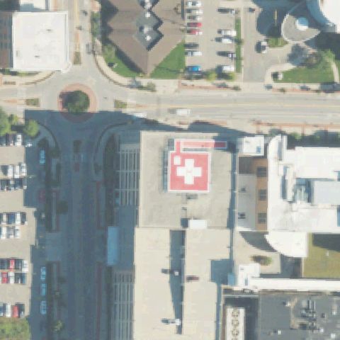
GRAND RAPIDS, MI
42.9592777780001, -85.663694444
Red rooftop pad with white cross/H marking near image center.
✓ Confirmed by AI vision with Claude Opus 4.8
 Confirmed
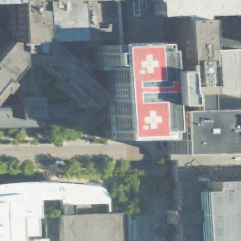
GRAND RAPIDS, MI
42.9690027780001, -85.665186111
Large red rooftop pads with white crosses at image center.
✓ Confirmed by AI vision with Claude Opus 4.8
 Confirmed
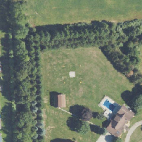
HIGHLAND, MI
42.629166667, -83.683083333
Small white square marker with cones on the lawn near center, pad-like.
✓ Confirmed by AI vision with Claude Opus 4.8
 Confirmed
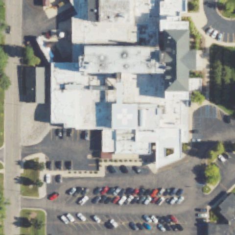
HILLSDALE, MI
41.9115833330001, -84.633
White cross rooftop pad marking near image center.
✓ Confirmed by AI vision with Claude Opus 4.8
 Confirmed
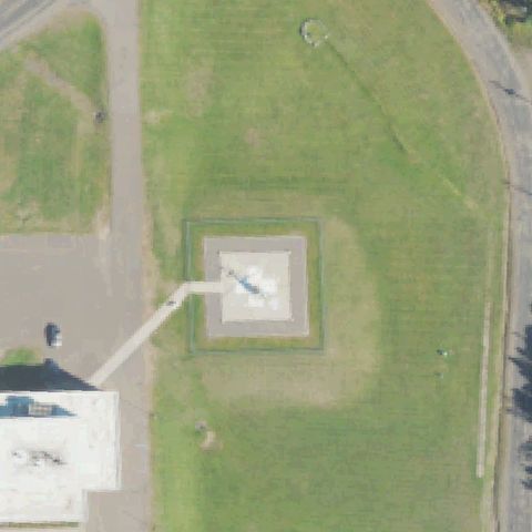
IRONWOOD, MI
46.4811111110001, -90.105277778
Square ground pad with a helicopter parked on it at center.
✓ Confirmed by AI vision with Claude Opus 4.8
 Confirmed
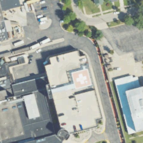
JACKSON, MI
42.2511111110001, -84.391388889
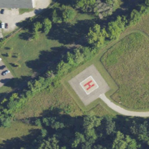
Red/white cross rooftop pad near image center.
✓ Confirmed by AI vision with Claude Opus 4.8
 Confirmed
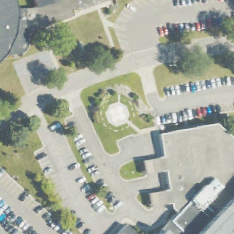
LANSING, MI
42.7080905560001, -84.560812222
Square ground pad with red H marking at image center.
✓ Confirmed by AI vision with Claude Opus 4.8
 Confirmed
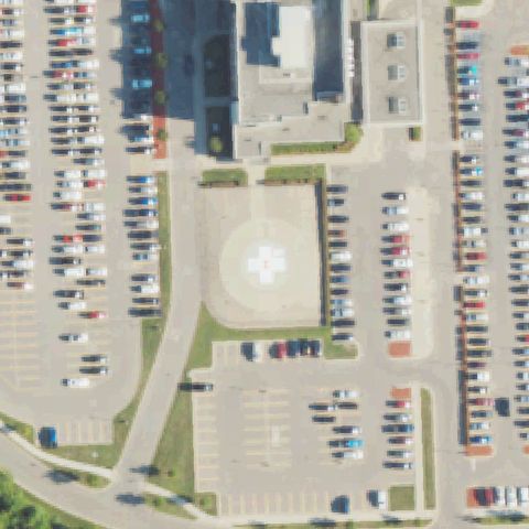
LAPEER, MI
43.063683333, -83.3210333329999
Pale circular feature in landscaped island near center, possibly a pad.
✓ Confirmed by AI vision with Claude Opus 4.8
 Confirmed
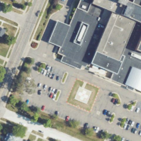
LIVONIA, MI
42.3922138890001, -83.405055556
Round-cornered pad with white cross marking at image center.
✓ Confirmed by AI vision with Claude Opus 4.8
 Confirmed
MONROE, MI
41.9241138890001, -83.388941667
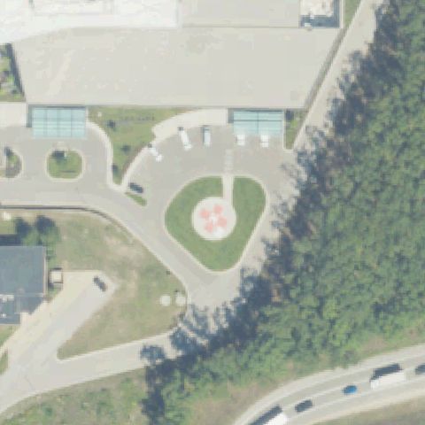
Square pad with white cross and red border at image center.
✓ Confirmed by AI vision with Claude Opus 4.8
 Confirmed
MUSKEGON, MI
43.2059833330001, -86.2074361109999
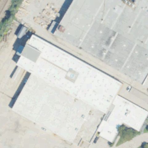
Circular pad with red/white cross marking near image center.
✓ Confirmed by AI vision with Claude Opus 4.8
 Confirmed
FRASER, MI
42.5434222220001, -82.933447222
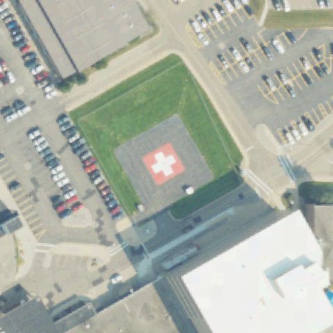
Small raised square with marking on industrial roof near center.
✓ Confirmed by AI vision with Claude Opus 4.8
 Confirmed
KALAMAZOO, MI
42.3084455000001, -85.560572139
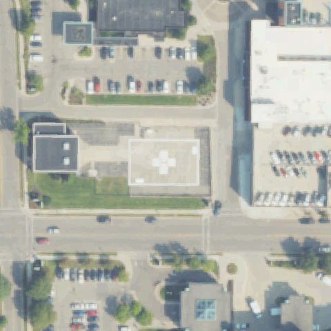
Square pad with red/white cross marking at image center.
✓ Confirmed by AI vision with Claude Opus 4.8
 Confirmed
KALAMAZOO, MI
42.286433333, -85.580561111
Pad with white cross marking at image center.
✓ Confirmed by AI vision with Claude Opus 4.8
 Confirmed
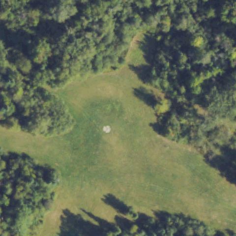
LONG LAKE, MI
44.4158333330001, -83.9319694439999
Small white circular marker in grass clearing near center, pad-like.
✓ Confirmed by AI vision with Claude Opus 4.8
 Confirmed
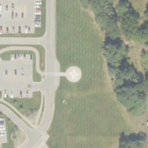
LUDINGTON, MI
43.9579444440001, -86.428244444
Circular pad with white cross marking near image center.
✓ Confirmed by AI vision with Claude Opus 4.8
 Confirmed
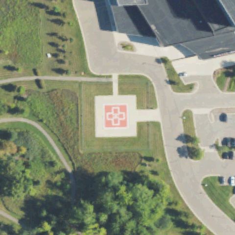
NOVI, MI
42.486222222, -83.520072222
Clear square concrete pad with red cross marking near image center.
✓ Confirmed by AI vision with Claude Opus 4.8
 Confirmed
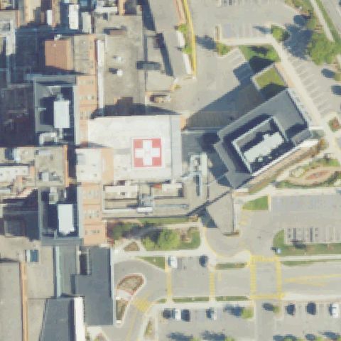
PORT HURON, MI
42.986833333, -82.4291666669999
Rooftop pad with red cross marking on hospital building near center.
✓ Confirmed by AI vision with Claude Opus 4.8
 Confirmed
TAYLOR, MI
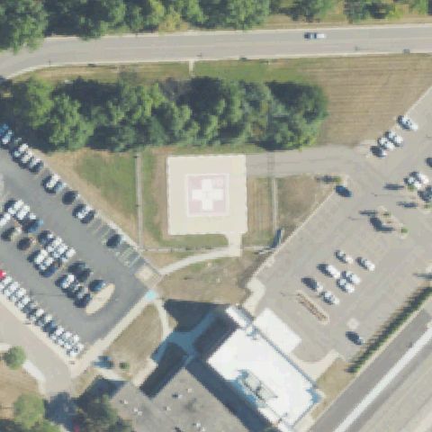
42.2363888890001, -83.276388889
Large square pad with faded cross marking near center between parking lots.
✓ Confirmed by AI vision with Claude Opus 4.8
 Confirmed
WATERVLIET, MI
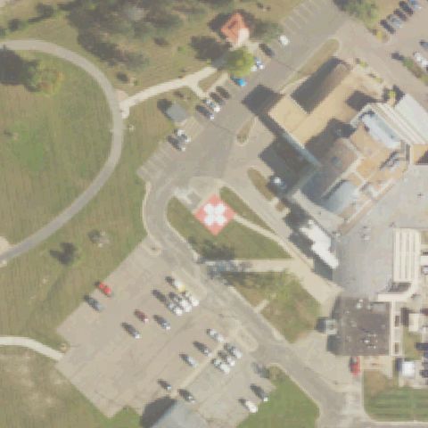
42.184836111, -86.250544444
Square pad with red cross marking on grass near image center by hospital.
✓ Confirmed by AI vision with Claude Opus 4.8
 Confirmed
REED CITY, MI
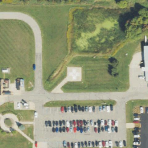
43.878636111, -85.519847222
Square concrete pad with cross marking near center beside hospital parking.
✓ Confirmed by AI vision with Claude Opus 4.8
 Confirmed
ROYAL OAK, MI
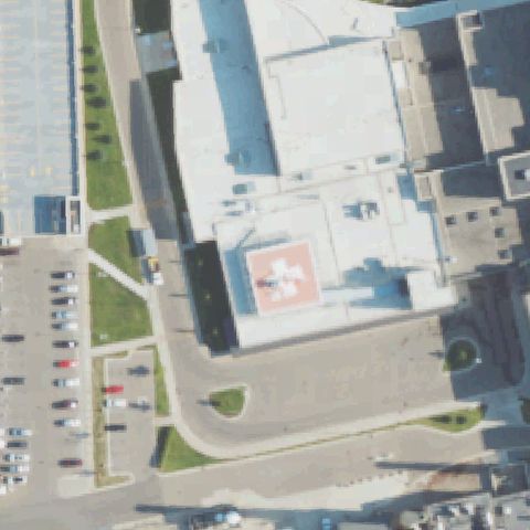
42.515077778, -83.194166667
Rooftop pad with red cross marking near center of hospital building.
✓ Confirmed by AI vision with Claude Opus 4.8
 Confirmed
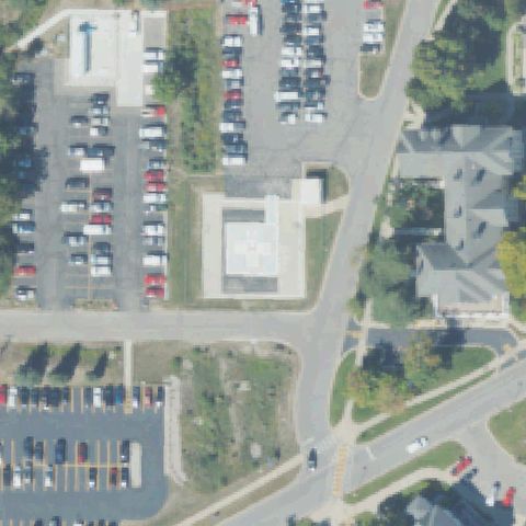
TRAVERSE CITY, MI
44.759430556, -85.644536111
Square pad with cross marking near center adjacent to hospital parking.
✓ Confirmed by AI vision with Claude Opus 4.8
 Confirmed
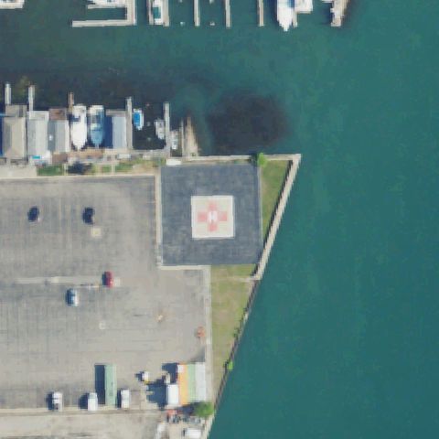
WYANDOTTE, MI
42.2094083330001, -83.144088889
Waterfront pad with red cross marking near center on parking area edge.
✓ Confirmed by AI vision with Claude Opus 4.8
 Confirmed
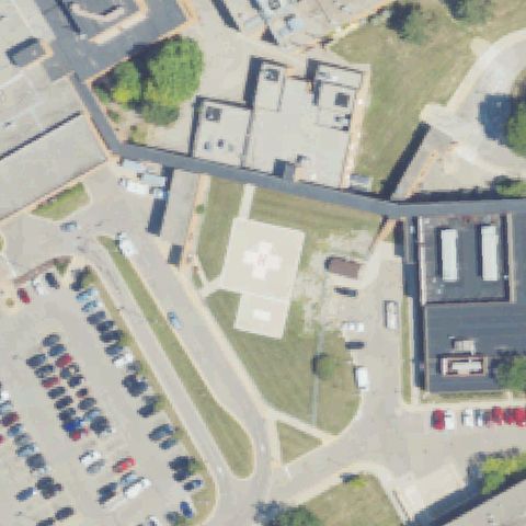
YPSILANTI, MI
42.2640138890001, -83.653688889
Square concrete pad with cross marking near center on hospital grounds.
✓ Confirmed by AI vision with Claude Opus 4.8
 Confirmed
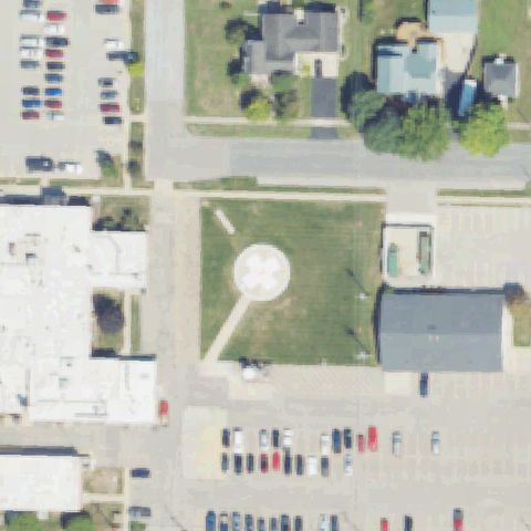
CARSON CITY, MI
43.1757277780001, -84.841241667
Circular pad with cross marking near center beside hospital building.
✓ Confirmed by AI vision with Claude Opus 4.8
 Confirmed
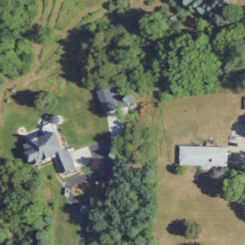
ROCHESTER, MI
42.749055556, -83.120252778
Circular paved pad with faint center marking near image center on lawn.
✓ Confirmed by AI vision with Claude Opus 4.8
 Confirmed
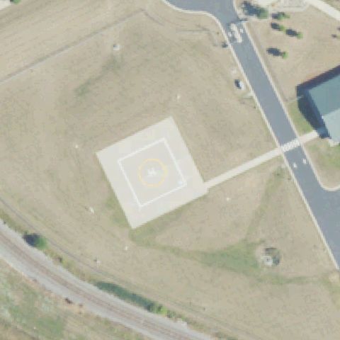
DETROIT, MI
42.3672222220001, -82.9675
Square prepared pad with faint circle marking near center by railroad.
✓ Confirmed by AI vision with Claude Opus 4.8
 Confirmed
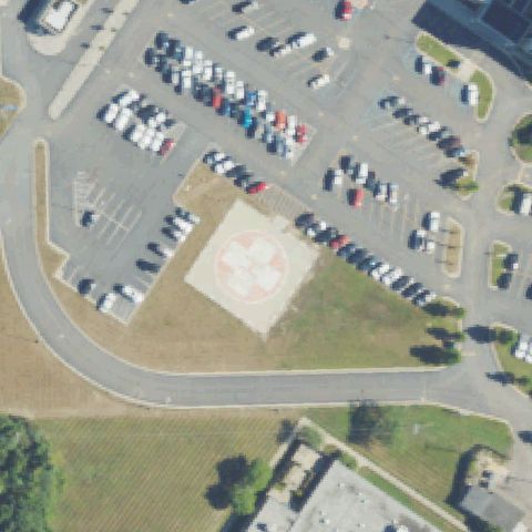
TRENTON, MI
42.115975, -83.214669444
Square pad with red cross marking near center beside hospital parking.
✓ Confirmed by AI vision with Claude Opus 4.8
 Confirmed
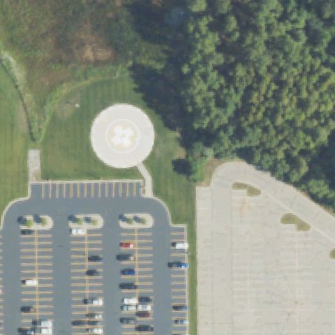
MT PLEASANT, MI
43.6152777780001, -84.7505555559999
Circular pad with cross marking near center beside hospital parking lot.
✓ Confirmed by AI vision with Claude Opus 4.8
 Confirmed
OWOSSO, MI
43.0410027780001, -84.297702778
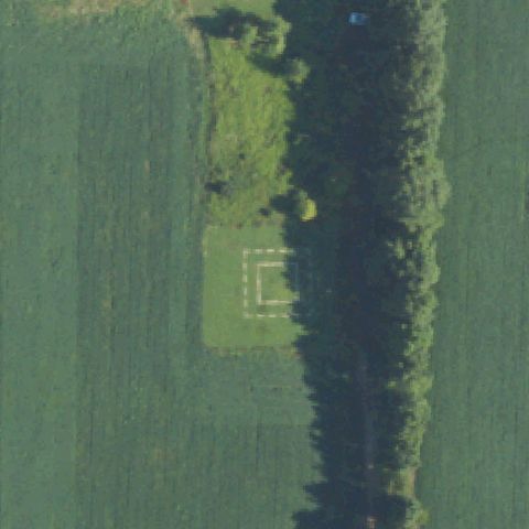
Faint dashed square ground marking at center in a grass field clearing.
✓ Confirmed by AI vision with Claude Opus 4.8
 Confirmed
ZEELAND, MI
42.8204555560001, -85.989075
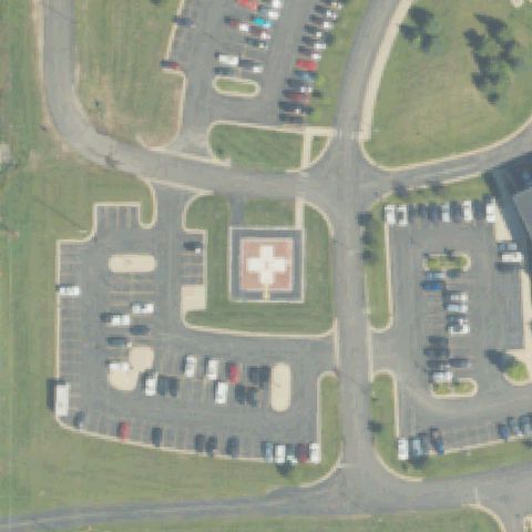
Square pad with red cross marking at image center on hospital grounds.
✓ Confirmed by AI vision with Claude Opus 4.8
 Confirmed
PORT HURON, MI
42.956319444, -82.434638889
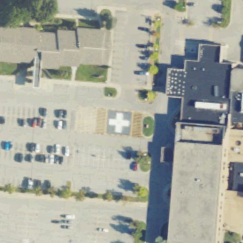
Pad with white cross marking near center in parking area by hospital.
✓ Confirmed by AI vision with Claude Opus 4.8
 Confirmed
MARQUETTE, MI
46.5440833330001, -87.406388889
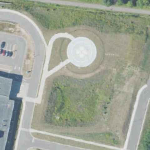
Circular pad with cross marking near center on hospital grounds.
✓ Confirmed by AI vision with Claude Opus 4.8
 Confirmed
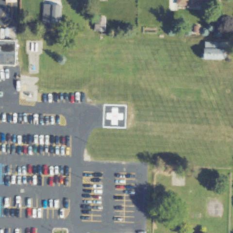
ST JOHNS, MI
42.9931638890001, -84.55375
Pad with white cross marking near center in lot beside hospital.
✓ Confirmed by AI vision with Claude Opus 4.8
 Confirmed
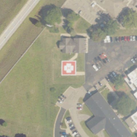
PLAINWELL, MI
42.447261111, -85.654975
Square pad with red cross marking near center on hospital lawn.
✓ Confirmed by AI vision with Claude Opus 4.8
 Confirmed
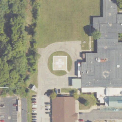
THREE RIVERS, MI
41.9354916670001, -85.648691667
Circular prepared pad with a white square and cross/H marking sits at image center.
✓ Confirmed by AI vision with Claude Opus 4.8
 Confirmed
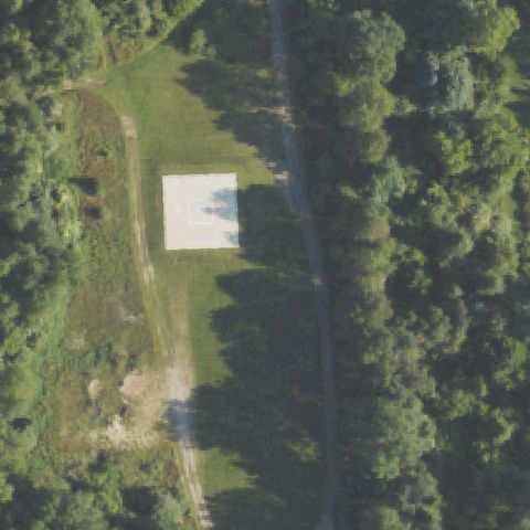
BRIGHTON, MI
42.5613000000001, -83.7354999999999
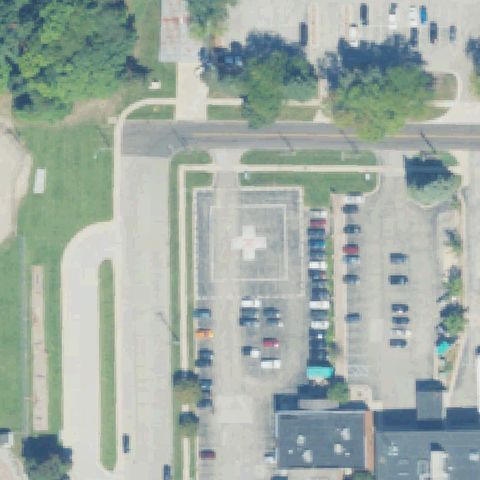
A white square prepared pad in a mowed clearing near center, no clear painted marking.
✓ Confirmed by AI vision with Claude Opus 4.8
 Confirmed
GRAND HAVEN, MI
43.0514277780001, -86.230091667
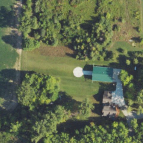
Square pad with a faint cross/H marking beside the parking area near center.
✓ Confirmed by AI vision with Claude Opus 4.8
 Confirmed
SWARTZ CREEK, MI
42.8702250000001, -83.8237055559999
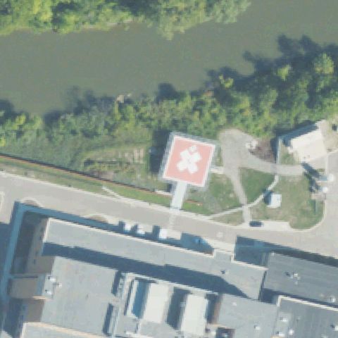
A small white circular pad sits in the lawn just right of center near the house.
✓ Confirmed by AI vision with Claude Opus 4.8
 Confirmed
MOUNT CLEMENS, MI
42.5886944440001, -82.8984166669999
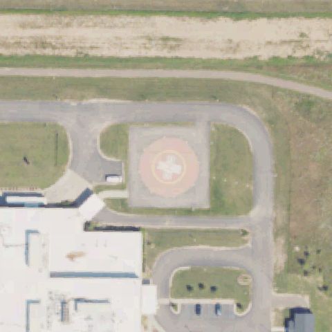
Red square pad with white cross marking elevated near center beside the hospital.
✓ Confirmed by AI vision with Claude Opus 4.8
 Confirmed
IONIA, MI
42.9363111110001, -85.0673416669999
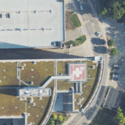
Pink/red square pad with white cross marking at image center near the hospital.
✓ Confirmed by AI vision with Claude Opus 4.8
 Confirmed
ANN ARBOR, MI
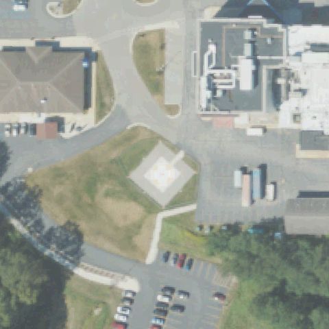
42.282238889, -83.726683333
Red rooftop pad with white cross marking at center of the hospital roof.
✓ Confirmed by AI vision with Claude Opus 4.8
 Confirmed
MANISTEE, MI
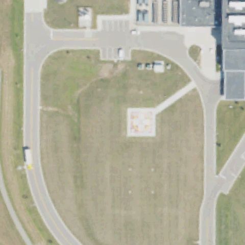
44.270766667, -86.275183333
A pad with a faint cross marking near center by the hospital building.
✓ Confirmed by AI vision with Claude Opus 4.8
 Confirmed
ADRIAN, MI
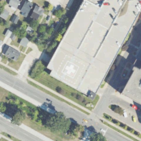
41.9646222220001, -84.008341667
Square pad with a faint cross marking on grass at image center.
✓ Confirmed by AI vision with Claude Opus 4.8
 Confirmed
DETROIT, MI
42.4200888890001, -82.916744444
Rooftop pad with white cross and dashed border near center of the building.
✓ Confirmed by AI vision with Claude Opus 4.8
 Confirmed
MILLINGTON, MI
43.2195083330001, -83.547711111
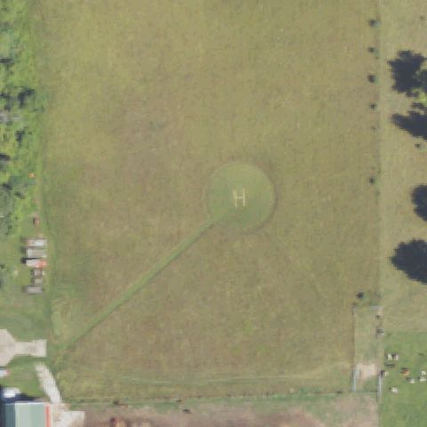
Large circular ground pad with a painted H at image center in the field.
✓ Confirmed by AI vision with Claude Opus 4.8
 Confirmed
CLINTON TOWNSHIP, MI
42.6154194440001, -82.9617638889999
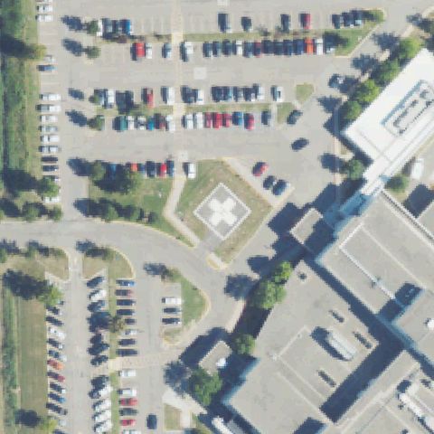
Square pad with white cross marking on grass at image center near the hospital.
✓ Confirmed by AI vision with Claude Opus 4.8
 Confirmed
GRAND BLANC, MI
42.8913055560001, -83.64185
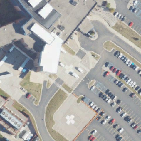
Square pad with a faint white cross marking near center by the parking area.
✓ Confirmed by AI vision with Claude Opus 4.8
 Confirmed
FLINT, MI
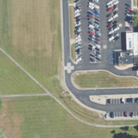
43.014827778, -83.7320444439999
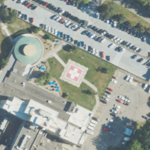
Red circular pad with white cross marking at center of the lawn area.
✓ Confirmed by AI vision with Claude Opus 4.8
 Confirmed
WAYNE, MI
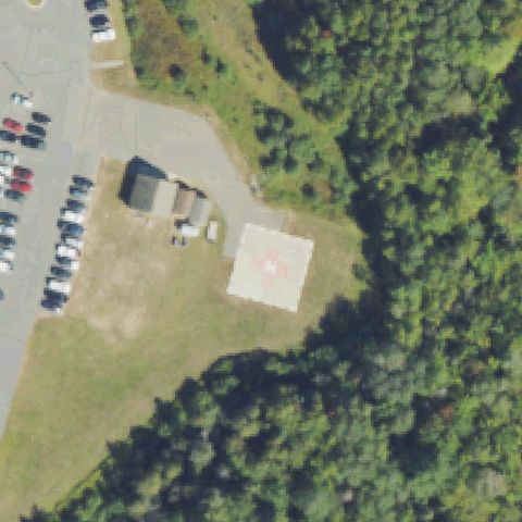
42.2726388890001, -83.366725
A white cross/H painted on a pad near center beside the parking lot.
✓ Confirmed by AI vision with Claude Opus 4.8
 Confirmed
L'ANSE, MI
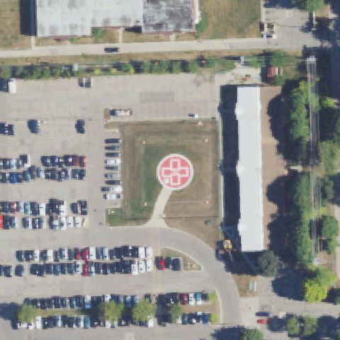
46.7317, -88.423505556
A pad with a faint reddish marking near center of the hospital grounds.
✓ Confirmed by AI vision with Claude Opus 4.8
 Confirmed
FARMINGTON HILLS, MI
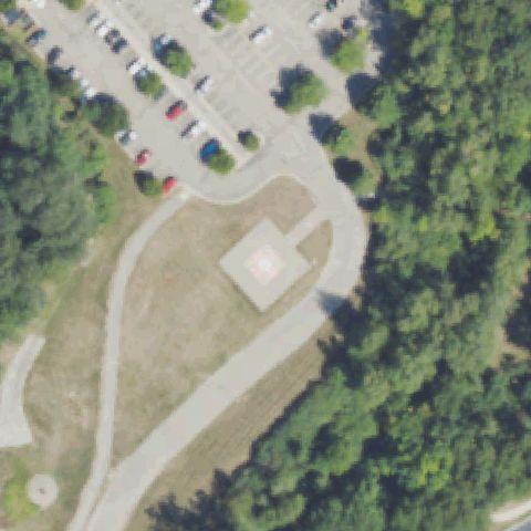
42.447722222, -83.3228055559999
Red circular pad with white cross marking at image center on the lawn.
✓ Confirmed by AI vision with Claude Opus 4.8
 Confirmed
CHELSEA, MI
42.3077527780001, -84.014366667
A prepared square pad with a faint marking on grass near center by the parking lot.
✓ Confirmed by AI vision with Claude Opus 4.8