Not visibleME18 Chesuncook Forestry District
CHESUNCOOK, ME
45.8823178330001, -69.233752833
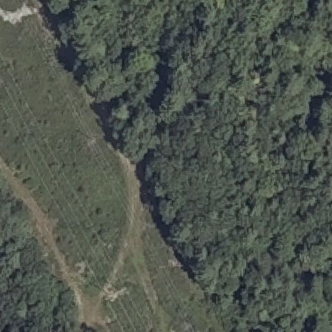
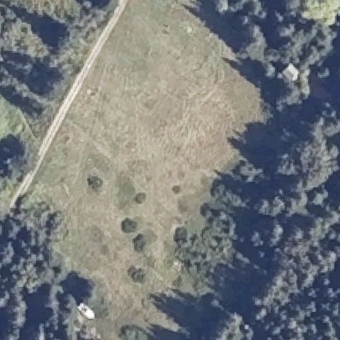
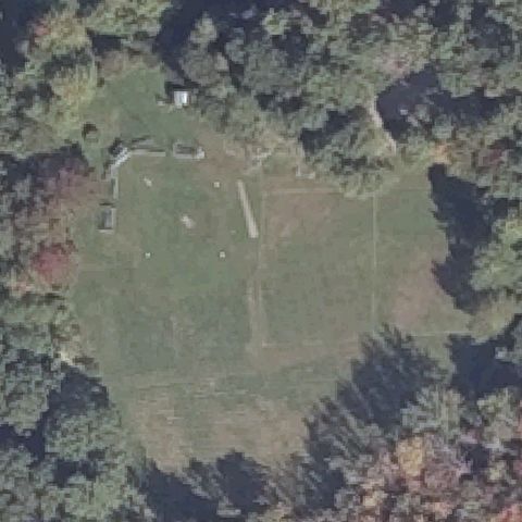
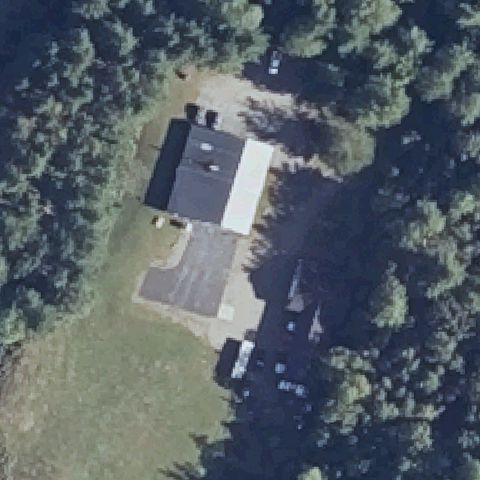
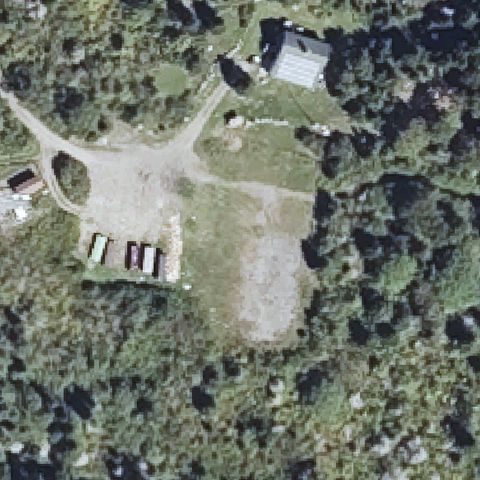
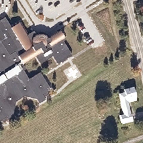
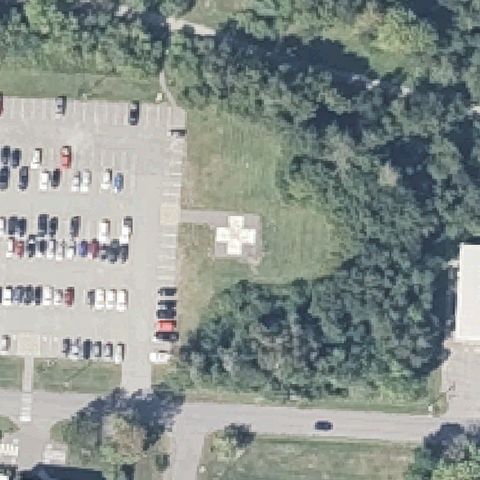
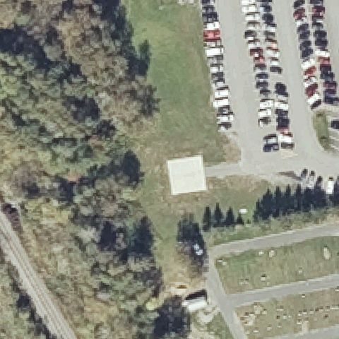
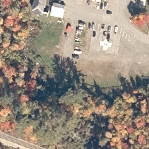
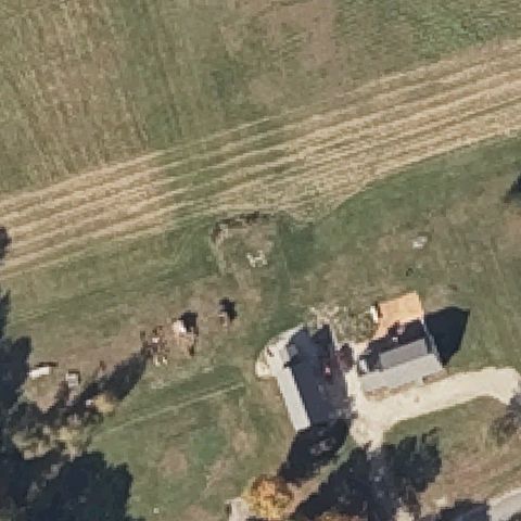
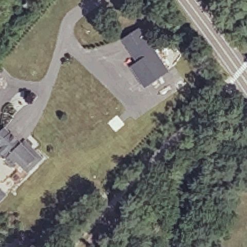
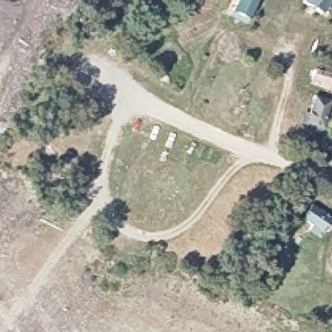
Center is a grass field with a gravel drive and parked trailers, no pad.
Data: FAA Airports (ArcGIS open layer) | Imagery: USGS NAIP (public domain) | AI vision: Claude Opus 4.8 | built 2026-07-05
A flag means a pad could not be confirmed from current imagery - never that a heliport is missing, fake, or mislocated. Help us check: vote on each one below.
Not visibleCHESUNCOOK, ME
45.8823178330001, -69.233752833
Center is a grass field with a gravel drive and parked trailers, no pad.
Not visibleAPPLETON, ME
44.2832708330001, -69.2392097219999
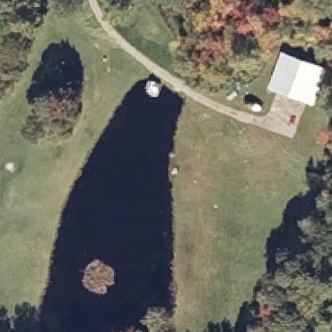
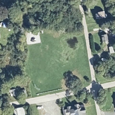
Center is a shaded pond and lawn with no landing markings.
Not visibleFALMOUTH, ME
43.7391638890001, -70.312905556
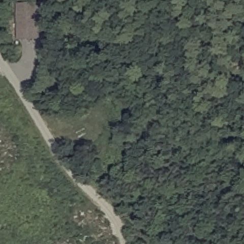
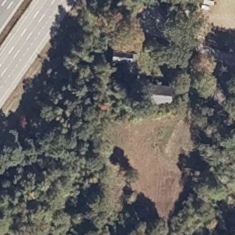
Center is dense forest with a dirt road, no pad.
Not visiblePITTSTON FARM, ME
45.8833708330001, -69.9828433329999
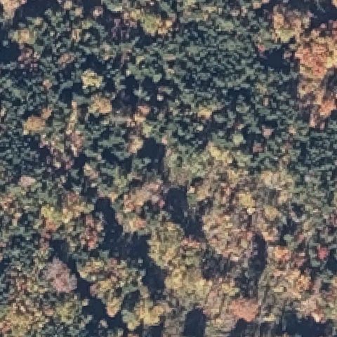
Center is dense mottled forest with no pad.
Not visibleWEST BATH, ME
43.858469444, -69.884308333
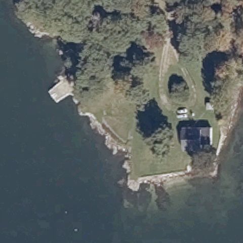
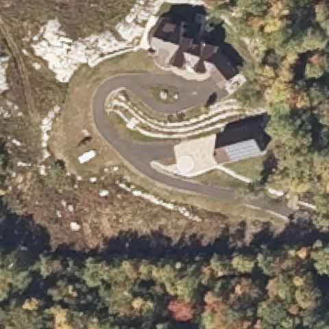
Coastal lawn with an oval driveway loop and no pad markings.
Not visibleWESTBROOK, ME
43.7228250000001, -70.346666667
Center is forest edge and rough field, no pad.
Not visibleBOOTHBAY, ME
43.9227388890001, -69.5956944439999
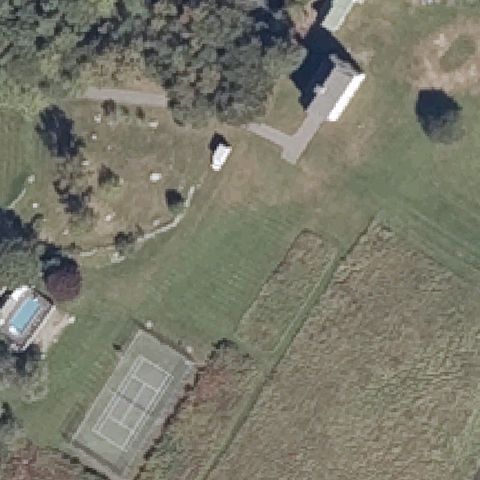
Center is a grass field; only a tennis court and pool nearby, no pad.
Not visibleCHEBEAGUE ISLAND, ME
43.729066667, -70.1269833329999
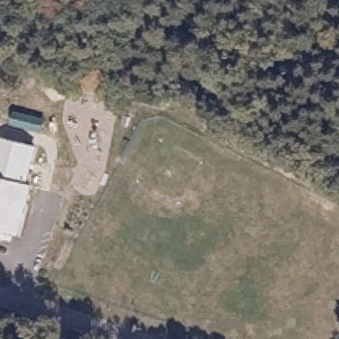
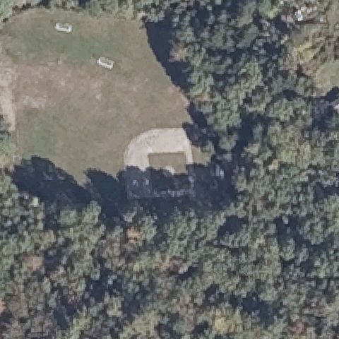
Center is a grass ballfield with faint field markings, no helipad.
Not visibleCRANBERRY ISLES, ME
44.2513361110001, -68.268619444
Center is an open grass clearing with no landing markings.
Not visibleISLE AU HAUT, ME
44.0751666670001, -68.6324194439999
Center is a brown cleared field with scattered shrubs, no pad markings.
Not visibleSWEDEN, ME
44.1513305560001, -70.793986111
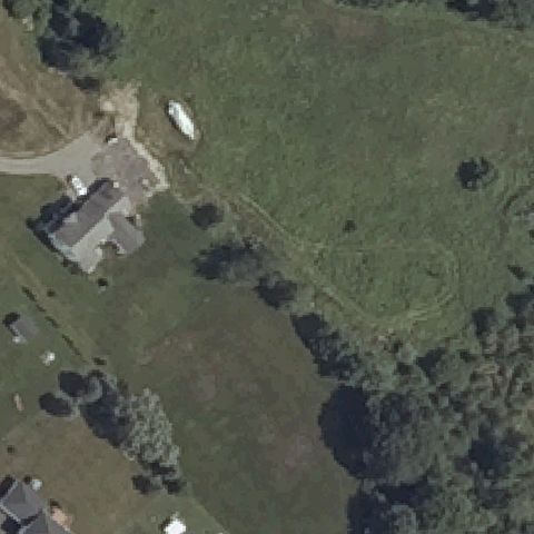
Center is a circular gravel driveway by a house, no helipad markings.
Not visibleDAMARISCOTTA, ME
44.0266583330001, -69.530133333
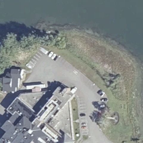
Center is a waterfront parking lot and shoreline, no pad.
Not visibleMARION, ME
44.7879722220001, -67.307416667
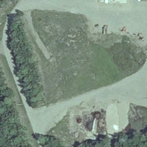
Center is a grass and gravel clearing with no landing markings.
Not visiblePORTLAND, ME
43.6616080000001, -70.1910329999999
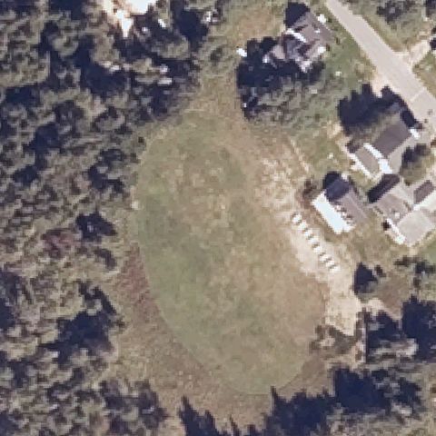
Center is a grass ballfield ringed by trees, no helipad markings.
Not visibleKITTERY, ME
43.125795, -70.720453
Center is a wooded brushy clearing with no pad.
Not visibleSCARBOROUGH, ME
43.5937805560001, -70.3173805559999
Center is an open grass field with a faint driveway loop, no pad markings.
Off-centerNORTH HAVEN, ME
44.129372222, -68.8743388889999
A small light concrete pad sits left of center; center itself is open grass.
UncertainNORTH WHITEFIELD, ME
44.2031277780001, -69.607544444
Center is a building and gravel clearing in woods with no clear pad marking.
UncertainMONHEGAN, ME
43.7583333330001, -69.321611111
Center is a brushy clearing with a faint outline but no clear pad marking.
UncertainMONHEGAN ISLAND, ME
43.764333333, -69.314527778
Center is a bare dirt/gravel clearing with no markings.
UncertainBAR HARBOR, ME
44.3827166670001, -68.2033
A rough light cleared circle in the grass but no helipad markings visible.
ConfirmedBANGOR, ME
44.8082444440001, -68.7521305559999
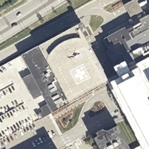
Large prepared pad with white marking and a helicopter parked at center.
✓ Confirmed by AI vision with Claude Opus 4.8
ConfirmedBLUE HILL, ME
44.412013889, -68.587997222
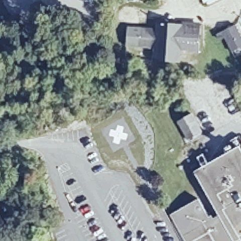
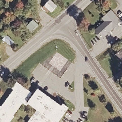
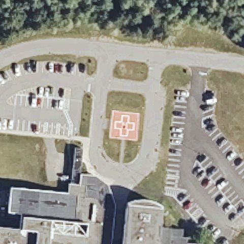
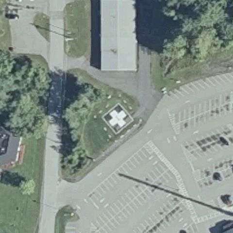
Square prepared pad with a white cross marking at center beside parking lot.
✓ Confirmed by AI vision with Claude Opus 4.8
ConfirmedBRUNSWICK, ME
43.904963889, -69.8911666669999
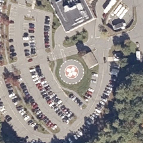
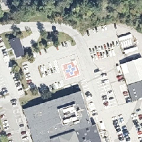
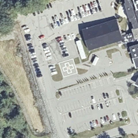
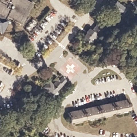
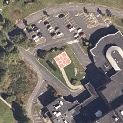
Circular pad with red and white cross marking centered in hospital parking loop.
✓ Confirmed by AI vision with Claude Opus 4.8
ConfirmedFARMINGTON, ME
44.6265388890001, -70.1620694439999
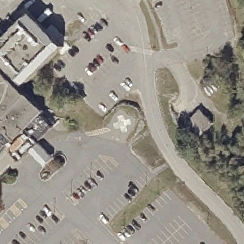
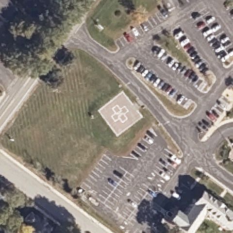
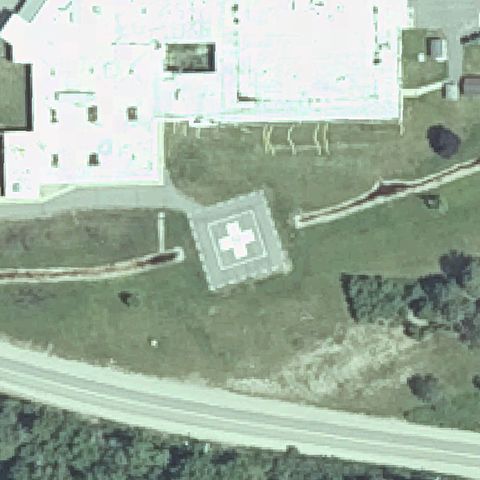
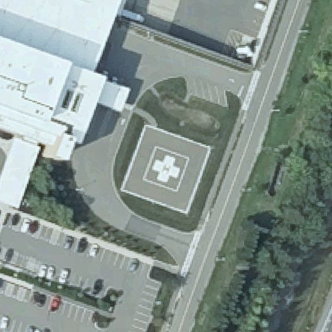
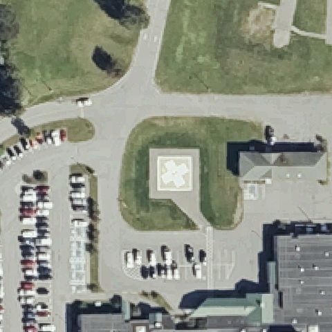
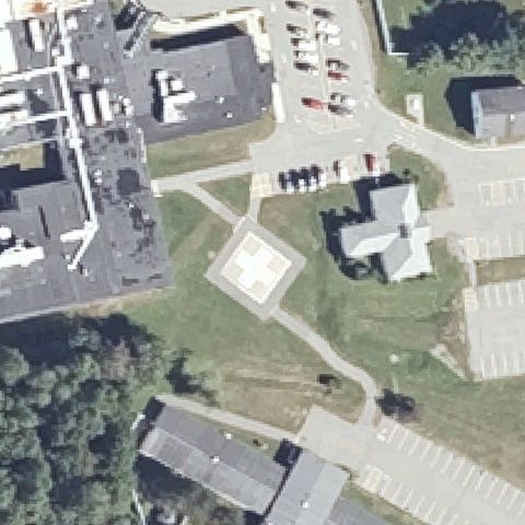
Square pad with white cross marking centered between hospital parking lots.
✓ Confirmed by AI vision with Claude Opus 4.8
ConfirmedSANFORD, ME
43.4487194440001, -70.768594444
Square pad with white cross marking centered in grass near parking lot.
✓ Confirmed by AI vision with Claude Opus 4.8
ConfirmedSKOWHEGAN, ME
44.7577277780001, -69.7144111109999
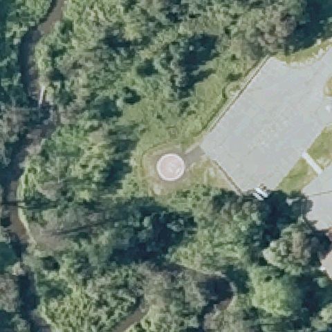
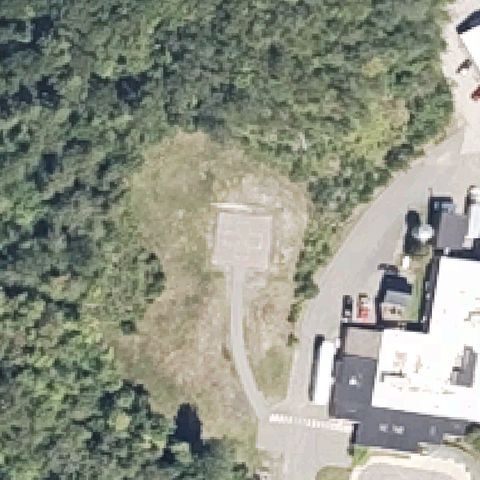
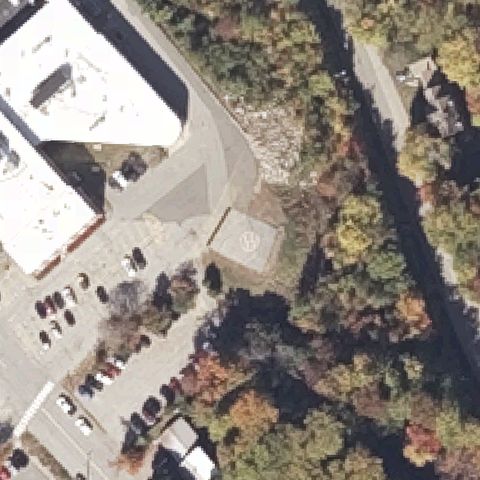
Distinct circular prepared pad at center in a wooded clearing beside the hospital.
✓ Confirmed by AI vision with Claude Opus 4.8
ConfirmedLEWISTON, ME
44.103233333, -70.2150722219999
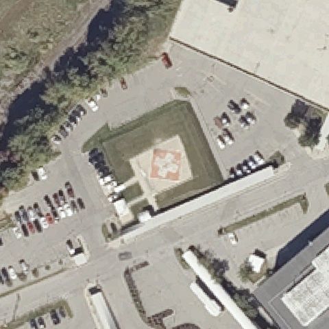
Square pad with red and white cross marking centered in a fenced lot.
✓ Confirmed by AI vision with Claude Opus 4.8
ConfirmedROCKPORT, ME
44.1431388890001, -69.085411111
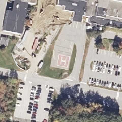
Asphalt pad with a red H marking near center beside hospital parking.
✓ Confirmed by AI vision with Claude Opus 4.8
ConfirmedBRIDGTON, ME
44.0461638890001, -70.713038889
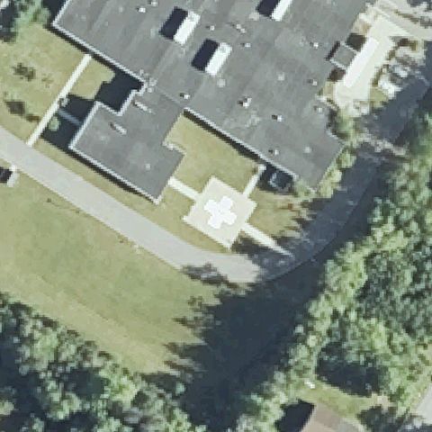
Small square pad with white cross marking beside the hospital at center.
✓ Confirmed by AI vision with Claude Opus 4.8
ConfirmedDOVER-FOXCROFT, ME
45.1885583330001, -69.236758333
Square pad with white cross marking centered beside the parking lot.
✓ Confirmed by AI vision with Claude Opus 4.8
ConfirmedFORT KENT, ME
47.2648861110001, -68.593266667
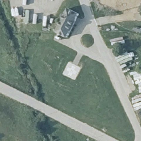
Distinct light square prepared pad with access path at center in clearing.
✓ Confirmed by AI vision with Claude Opus 4.8
ConfirmedGREENVILLE, ME
45.4581388890001, -69.611555556
Light square marking on a paved area near center by the parking lot.
✓ Confirmed by AI vision with Claude Opus 4.8
ConfirmedMACHIAS, ME
44.7134444440001, -67.475872222
Square pad with white cross marking centered on the building apron.
✓ Confirmed by AI vision with Claude Opus 4.8
ConfirmedBETHEL, ME
44.4152472220001, -70.844275
Faint H marking on a roughed grass circle at center of the field.
✓ Confirmed by AI vision with Claude Opus 4.8
ConfirmedLINCOLN, ME
45.3487138890001, -68.516636111
Square pad with white cross marking centered in the grassy island.
✓ Confirmed by AI vision with Claude Opus 4.8
ConfirmedMILLINOCKET, ME
45.653266667, -68.7169777779999
Light square prepared pad with access path at center in a clearing.
✓ Confirmed by AI vision with Claude Opus 4.8
ConfirmedPORTLAND, ME
43.654071, -70.275649
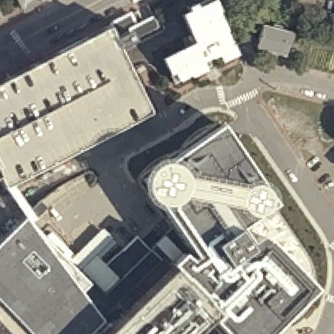
Dual rooftop circular pads with cross markings at center of hospital roof.
✓ Confirmed by AI vision with Claude Opus 4.8
ConfirmedAUGUSTA, ME
44.3618111110001, -69.7798444439999
Square pad with white cross marking centered on the building apron.
✓ Confirmed by AI vision with Claude Opus 4.8
ConfirmedBELFAST, ME
44.4132750000001, -68.994052778
Square pad with a colored cross marking centered in the parking area.
✓ Confirmed by AI vision with Claude Opus 4.8
ConfirmedCALAIS, ME
45.177136111, -67.267936111
Square pad with white cross marking centered against the hospital building.
✓ Confirmed by AI vision with Claude Opus 4.8
ConfirmedELLSWORTH, ME
44.546552778, -68.417394444
Square pad with white and red cross marking centered by the parking lots.
✓ Confirmed by AI vision with Claude Opus 4.8
ConfirmedHOULTON, ME
46.134466667, -67.843133333
Square pad with red and white cross marking centered in landscaped island.
✓ Confirmed by AI vision with Claude Opus 4.8
ConfirmedPRESQUE ISLE, ME
46.675919444, -67.9989805559999
Square pad with white cross marking centered in the grassy island.
✓ Confirmed by AI vision with Claude Opus 4.8
ConfirmedRUMFORD, ME
44.5513, -70.5554749999999
Small square pad with a faint H marking at center beside the parking lot.
✓ Confirmed by AI vision with Claude Opus 4.8
ConfirmedWATERVILLE, ME
44.566216667, -69.6478499999999
Square pad with white cross marking centered on a landscaped island.
✓ Confirmed by AI vision with Claude Opus 4.8
ConfirmedYORK, ME
43.141583333, -70.650669444
Square pad with red and white cross marking centered in the parking area.
✓ Confirmed by AI vision with Claude Opus 4.8
ConfirmedNORWAY, ME
44.2093194440001, -70.531705556
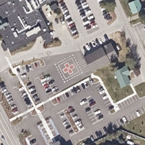
Large square pad outlined in white with a red cross marking at center.
✓ Confirmed by AI vision with Claude Opus 4.8
ConfirmedLONG ISLAND, ME
43.685852778, -70.167286111
A light prepared square pad sits near center in the grass clearing, no clear marking.
✓ Confirmed by AI vision with Claude Opus 4.8
ConfirmedOLD ORCHARD BEACH, ME
43.5385138890001, -70.4038277779999
A small light square pad sits near center in the lawn, no clear marking.
✓ Confirmed by AI vision with Claude Opus 4.8
ConfirmedPITTSFIELD, ME
44.789608333, -69.370166667
Square pad with white cross marking centered in the grassy island.
✓ Confirmed by AI vision with Claude Opus 4.8
ConfirmedAUGUSTA, ME
44.275255556, -69.704880556
Square pad with white cross marking centered in the field by the lot.
✓ Confirmed by AI vision with Claude Opus 4.8
ConfirmedBIDDEFORD, ME
43.4780111110001, -70.4911472219999
Square pad with red and white cross marking centered in landscaped island.
✓ Confirmed by AI vision with Claude Opus 4.8
ConfirmedBOOTHBAY HARBOR, ME
43.850627778, -69.638027778
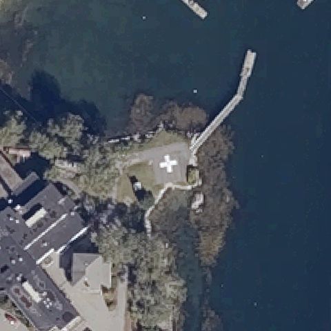
White cross marking on a prepared waterfront clearing at center.
✓ Confirmed by AI vision with Claude Opus 4.8
ConfirmedWATERFORD, ME
44.150238889, -70.66945
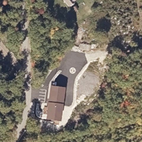
Asphalt area with a circular H marking at center beside the house.
✓ Confirmed by AI vision with Claude Opus 4.8