 Not visible
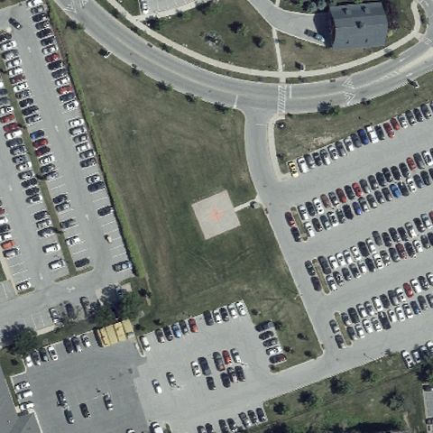
12MD St Agnes Health Care
BALTIMORE, MD
39.270555556, -76.6738333329999
Center is a grass field bordered by parking lots with no pad or marking.
85% confidence
Verify on the map →
Is there really a pad here?
Data: FAA Airports (ArcGIS open layer) | Imagery: USGS NAIP (public domain) | AI vision: Claude Opus 4.8 | built 2026-07-05
A flag means a pad could not be confirmed from current imagery - never that a heliport is missing, fake, or mislocated. Help us check: vote on each one below.
Not visibleBALTIMORE, MD
39.270555556, -76.6738333329999
Center is a grass field bordered by parking lots with no pad or marking.
 Not visible
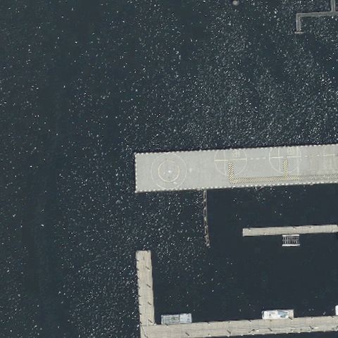
BALTIMORE, MD
39.2715416670001, -76.572391667
Center is dark harbor water with piers and no landing pad.
 Not visible
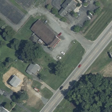
CHESAPEAKE CITY, MD
39.518172222, -75.821077778
Rural buildings and roadside grass at center with no pad present.
 Not visible
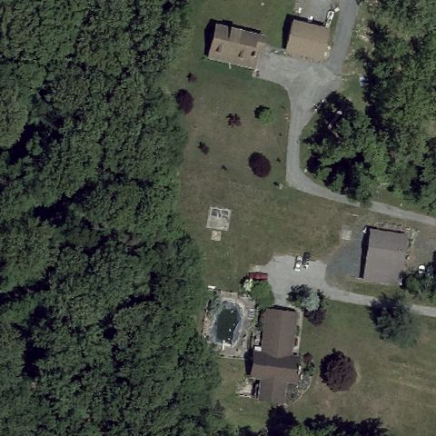
BALTIMORE, MD
39.4029861110001, -76.50525
Center is wooded with a small clearing and no visible helipad.
 Not visible
CRISFIELD, MD
37.9975000000001, -75.853202778
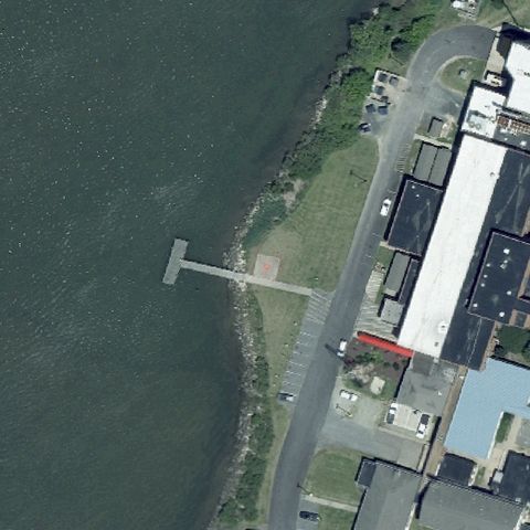
Waterfront with a pier and no helipad at the image center.
 Not visible
EAGLE HARBOR, MD
38.5558444440001, -76.692002778
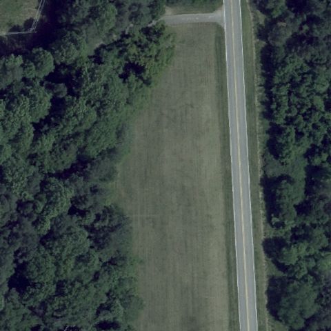
Forest and roadside grass field at center with no pad present.
 Not visible
LAYTONSVILLE, MD
39.1920508330001, -77.1066463889999
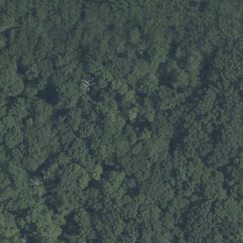
Entire image is solid forest canopy with no pad visible.
 Not visible
QUEENSTOWN, MD
38.9092805560001, -76.1196674999999
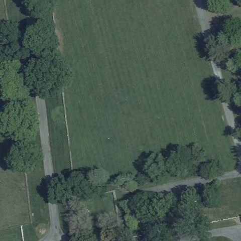
Open grass field bordered by trees with no pad marking at center.
 Not visible
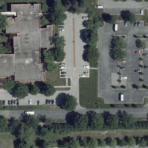
LINTHICUM HEIGHTS, MD
39.2125055560001, -76.6736
Buildings and parking lots at center with no pad marking present.
 Not visible
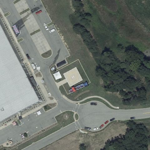
LUSBY, MD
38.3830694440001, -76.434369444
Business center buildings and parking at center with no clear pad.
 Not visible
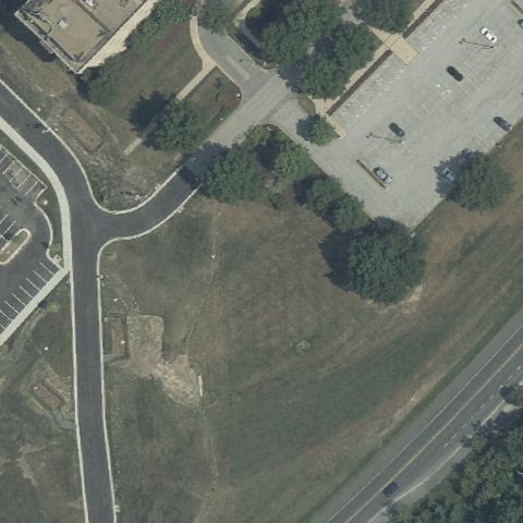
LAUREL, MD
39.085836111, -76.881188889
Center is grass, trees, and parking lot with no visible pad or markings.
 Not visible
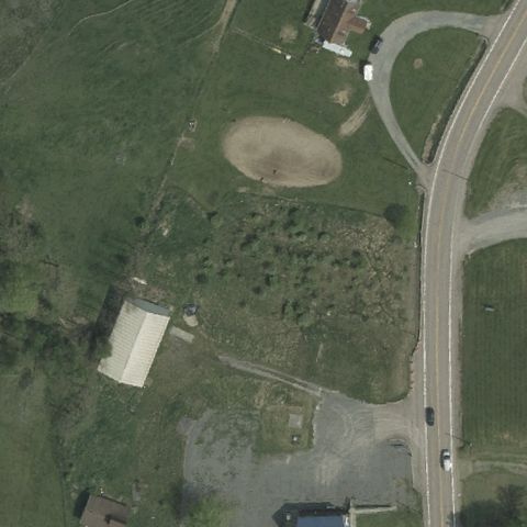
MCHENRY, MD
39.5764120000001, -79.372047
Center is an open field with a baseball diamond and no helipad markings.
 Not visible
EASTON, MD
38.8244388890001, -76.067733333
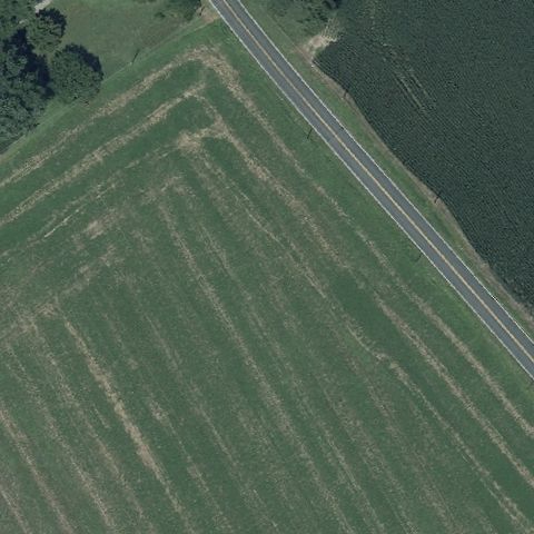
Center is an agricultural field beside a road with no pad visible.
 Not visible
OCEAN CITY, MD
38.4312175000001, -75.059550417
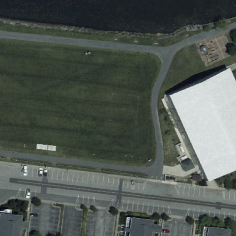
Center is an open grass park field with no markings or prepared pad.
 Off-center
BEL AIR, MD
39.5184472220001, -76.3459722219999
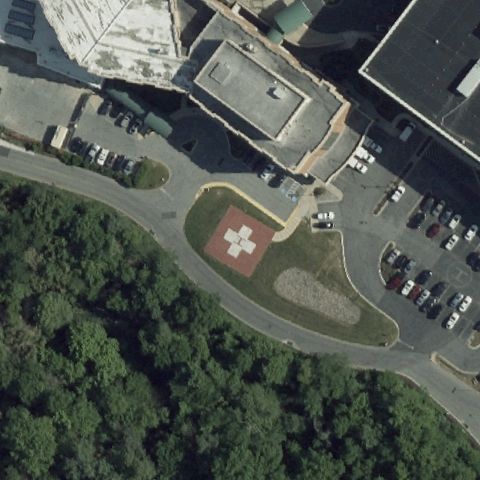
Ground pad with red cross and H marking visible just off the image center.
 Off-center
ANNAPOLIS, MD
38.990666667, -76.534166667
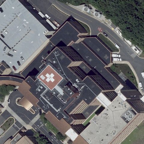
Rooftop pad with red cross and H marking visible slightly off center.
 Off-center
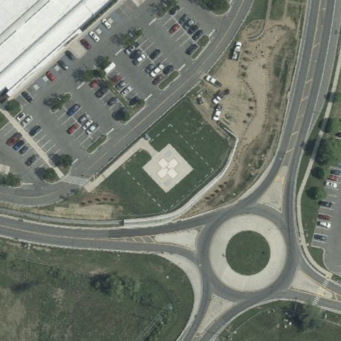
CUMBERLAND, MD
39.6468972220001, -78.7322
Light concrete square pad visible near a roundabout, slightly off center.
 Off-center
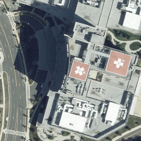
LARGO, MD
38.902275, -76.844694444
Hospital rooftop pads with red cross markings visible just off center.
 Uncertain
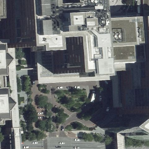
BALTIMORE, MD
39.2959472220001, -76.5919527779999
Hospital tower rooftop at center shows generic gray roof with no clear pad marking.
 Uncertain
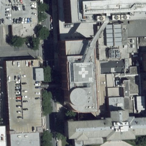
BALTIMORE, MD
39.3290250000001, -76.614688889
Hospital building roof at center has no distinct helipad marking visible.
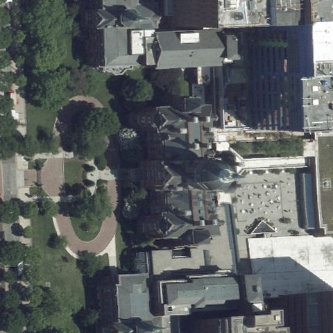 Uncertain
BALTIMORE, MD
39.297329167, -76.593299722
Center shows trees and building construction with no identifiable pad.
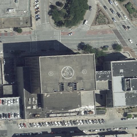 Uncertain
BALTIMORE, MD
39.2903847220001, -76.607466667
Large rooftop has a decorative circular seal at center, not a clear helipad marker.
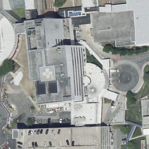 Uncertain
BALTIMORE, MD
39.351961111, -76.661836111
Building roofs and construction at center with no distinct pad marking.
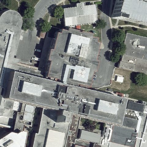 Uncertain
TOWSON, MD
39.3884194440001, -76.610813889
Building roofs and courtyard at center with no clear helipad marking.
 Uncertain
EDGEWOOD ARSENAL, MD
39.3918736110001, -76.2911238889999
Image is entirely black with no imagery available to assess.
 Uncertain
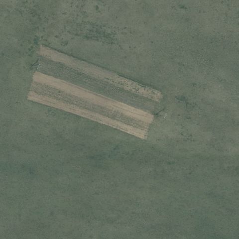
EMMITSBURG, MD
39.6850000000001, -77.3183333329999
Green field with faint faded stripes but no distinct pad at center.
 Uncertain
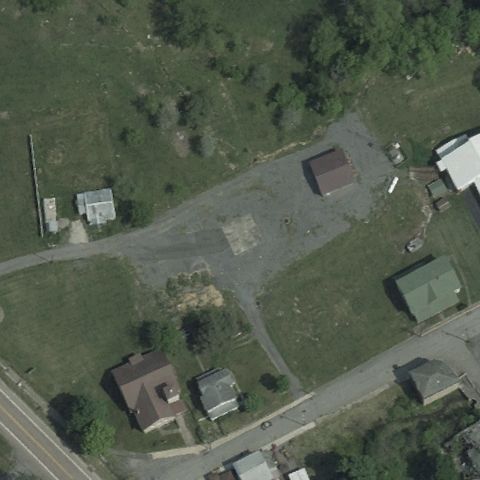
KITZMILLER, MD
39.388619444, -79.181563889
Gravel and paved area with buildings at center but no clear pad marking.
 Confirmed
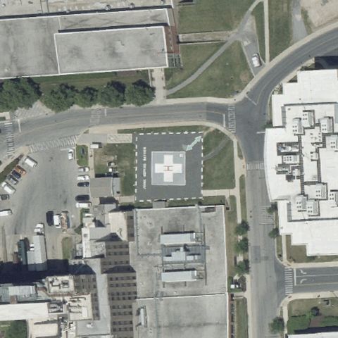
BALTIMORE, MD
39.2913611110001, -76.546263889
Ground pad with painted H and dashed outline centered in the image.
✓ Confirmed by AI vision with Claude Opus 4.8
 Confirmed
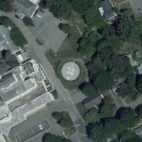
CHESTERTOWN, MD
39.217716667, -76.064016667
Faint light circular touchdown marker visible near the image center.
✓ Confirmed by AI vision with Claude Opus 4.8
 Confirmed
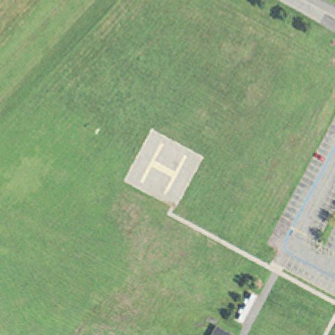
ABERDEEN, MD
39.454047222, -76.2092361109999
Clear concrete pad with a large painted H near the image center.
✓ Confirmed by AI vision with Claude Opus 4.8
 Confirmed
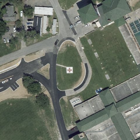
BALTIMORE, MD
39.3358944440001, -76.586666667
Ground pad with red cross and H marking centered within an oval drive.
✓ Confirmed by AI vision with Claude Opus 4.8
 Confirmed
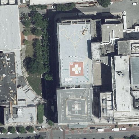
BALTIMORE, MD
39.2879194440001, -76.625786111
Hospital rooftop pads including a red cross marker visible near center.
✓ Confirmed by AI vision with Claude Opus 4.8
 Confirmed
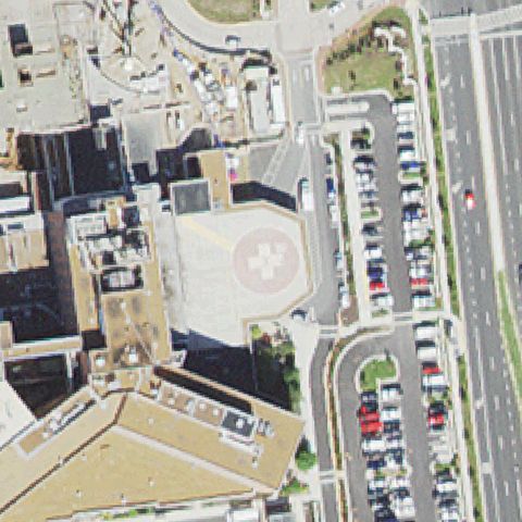
BETHESDA, MD
38.997483333, -77.109925
Ground pad with red cross and H marking near center amid parking.
✓ Confirmed by AI vision with Claude Opus 4.8
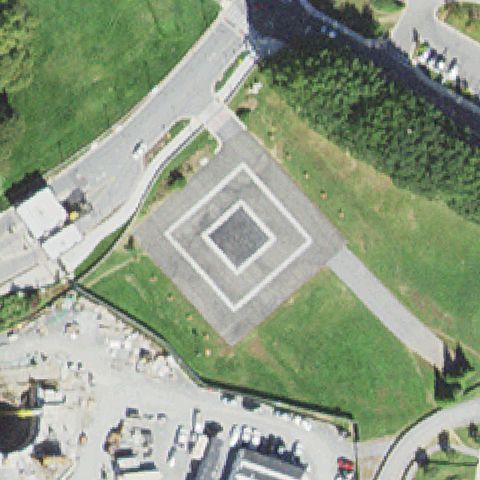 Confirmed
BETHESDA, MD
38.9996166670001, -77.095658333
Distinct concentric square concrete touchdown pad centered in the image.
✓ Confirmed by AI vision with Claude Opus 4.8
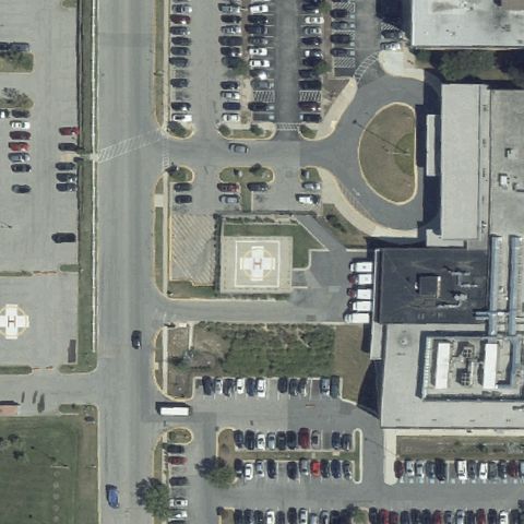 Confirmed
CLINTON, MD
38.7480055560001, -76.876836111
Pad with red cross and H marking visible near the image center.
✓ Confirmed by AI vision with Claude Opus 4.8
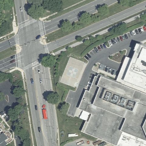 Confirmed
COLUMBIA, MD
39.2148222220001, -76.886925
Distinct prepared gray square pad centered near the hospital buildings.
✓ Confirmed by AI vision with Claude Opus 4.8
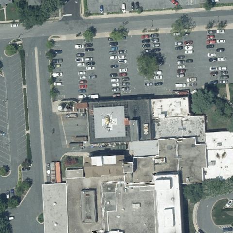 Confirmed
EASTON, MD
38.7702833330001, -76.07695
Rooftop helipad at center with painted circle marking and a helicopter parked on it.
✓ Confirmed by AI vision with Claude Opus 4.8
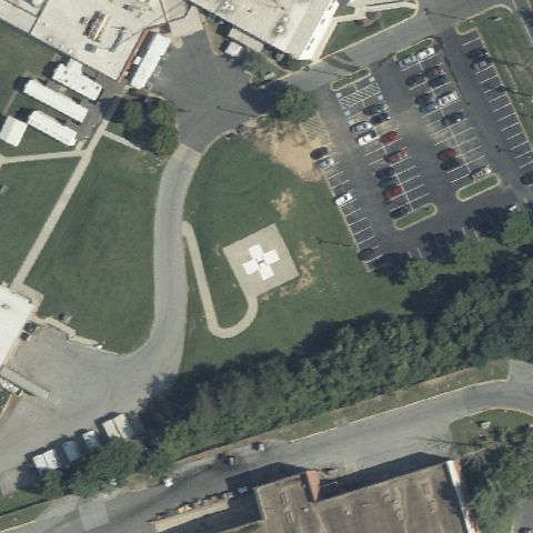 Confirmed
FORT WASHINGTON, MD
38.727833333, -76.9921527779999
Light prepared square pad with marking visible near the image center.
✓ Confirmed by AI vision with Claude Opus 4.8
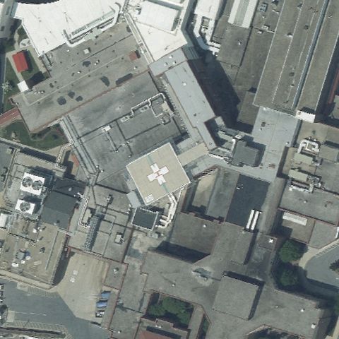 Confirmed
FREDERICK, MD
39.4225277780001, -77.414944444
Rooftop pad with red cross marking visible near the image center.
✓ Confirmed by AI vision with Claude Opus 4.8
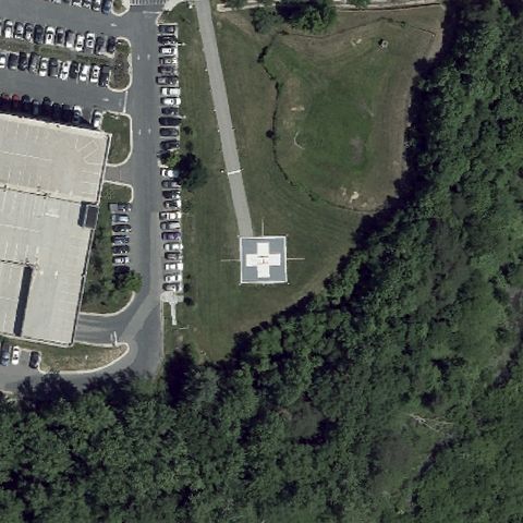 Confirmed
GLEN BURNIE, MD
39.136583333, -76.6197999999999
Light concrete pad with red cross and H marking centered in the image.
✓ Confirmed by AI vision with Claude Opus 4.8
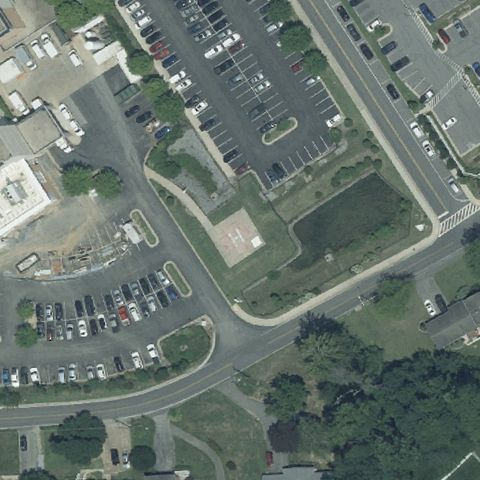 Confirmed
LA PLATA, MD
38.528508333, -76.970977778
Faint light square pad shape visible near center amid parking lots.
✓ Confirmed by AI vision with Claude Opus 4.8
 Confirmed
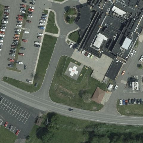
OAKLAND, MD
39.4128527780001, -79.401344444
Light square pad with marking visible near center at the hospital.
✓ Confirmed by AI vision with Claude Opus 4.8
 Confirmed
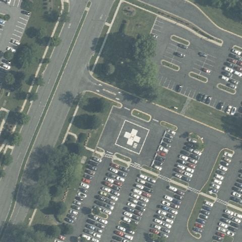
ROCKVILLE, MD
39.1010694440001, -77.2001861109999
Ground pad with red cross and H marking centered amid parking lots.
✓ Confirmed by AI vision with Claude Opus 4.8
 Confirmed
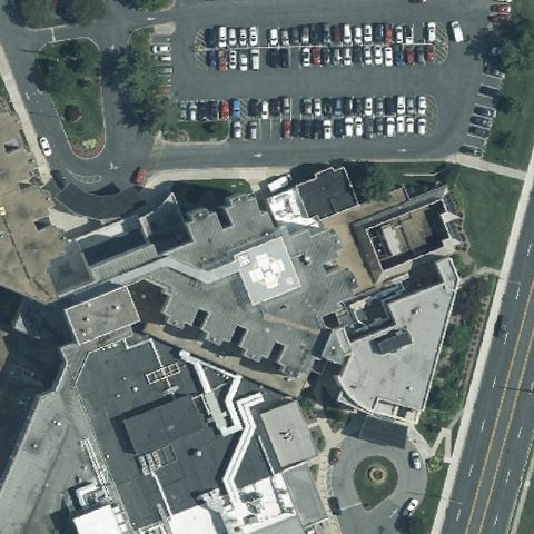
SALISBURY, MD
38.362308333, -75.5973
Faint rooftop pad marking visible near center on the hospital.
✓ Confirmed by AI vision with Claude Opus 4.8
 Confirmed
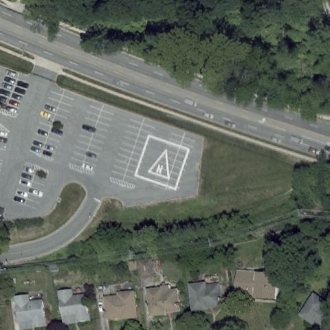
TOWSON, MD
39.399077778, -76.588197222
Light square pad with circular marker visible at the image center.
✓ Confirmed by AI vision with Claude Opus 4.8
 Confirmed
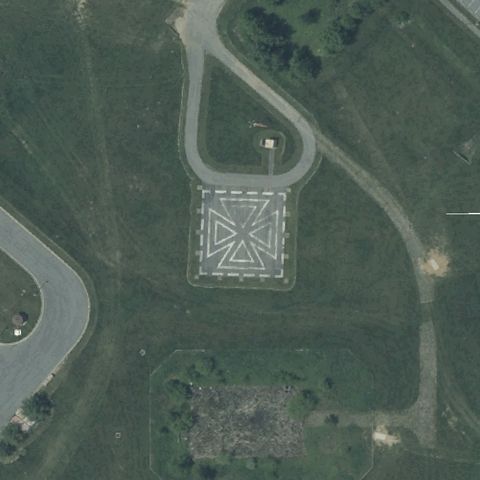
FORT DETRICK (FREDERICK), MD
39.436263889, -77.420661111
Large concentric square concrete touchdown pad centered in the image.
✓ Confirmed by AI vision with Claude Opus 4.8
 Confirmed
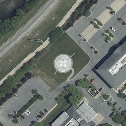
GRASONVILLE, MD
38.9675222220001, -76.182780556
Circular pad with red cross marking centered between parking lots.
✓ Confirmed by AI vision with Claude Opus 4.8
 Confirmed
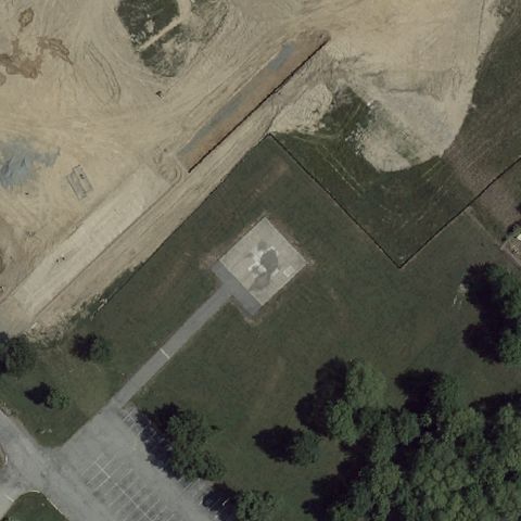
HAVRE DE GRACE, MD
39.532252778, -76.102888889
Faint light square pad visible in the field near the image center.
✓ Confirmed by AI vision with Claude Opus 4.8
 Confirmed
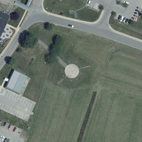
LEONARDTOWN, MD
38.301433333, -76.6367999999999
Light circular pad visible at center in an open grass field.
✓ Confirmed by AI vision with Claude Opus 4.8
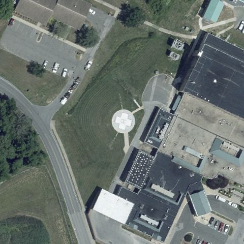 Confirmed
LEONARDTOWN, MD
38.302055556, -76.639311111
Light circular pad with marking visible near center at the hospital.
✓ Confirmed by AI vision with Claude Opus 4.8
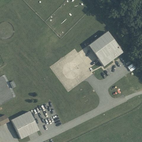 Confirmed
OLNEY, MD
39.1292777780001, -77.024119444
Light tan prepared square pad area visible near center at the facility.
✓ Confirmed by AI vision with Claude Opus 4.8
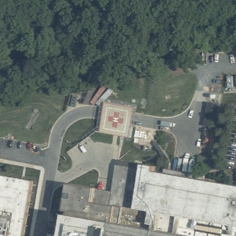 Confirmed
OLNEY, MD
39.1547272220001, -77.055000417
Pad with red cross and H marking centered within a winding drive.
✓ Confirmed by AI vision with Claude Opus 4.8
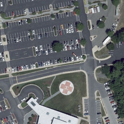 Confirmed
PRINCE FREDERICK, MD
38.561105556, -76.5960249999999
White circular ground pad with red H/cross marking at image center near hospital entrance.
✓ Confirmed by AI vision with Claude Opus 4.8
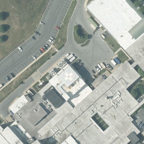 Confirmed
WESTMINSTER, MD
39.558738889, -76.990625
Faint rooftop pad marking visible near center on the hospital building.
✓ Confirmed by AI vision with Claude Opus 4.8
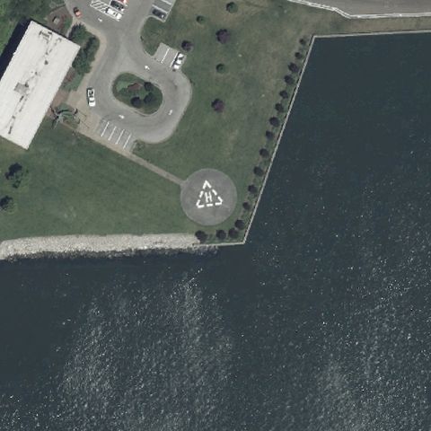 Confirmed
BALTIMORE, MD
39.259494444, -76.566219444
Circular pad with marking centered on a point of land by the water.
✓ Confirmed by AI vision with Claude Opus 4.8
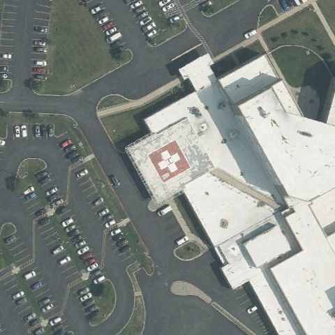 Confirmed
HAGERSTOWN, MD
39.6229555560001, -77.6861499999999
Hospital pad with red cross and H marking visible near image center.
✓ Confirmed by AI vision with Claude Opus 4.8
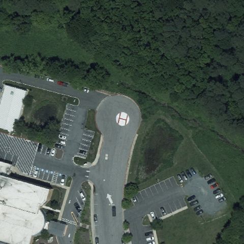 Confirmed
BERLIN, MD
38.340216667, -75.2105444439999
Light circular pad with H marking visible near the image center.
✓ Confirmed by AI vision with Claude Opus 4.8
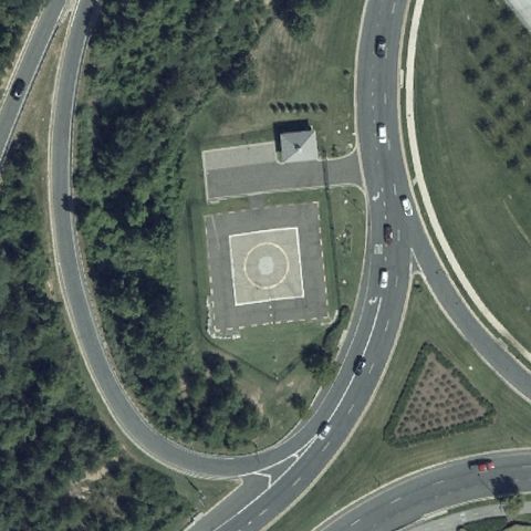 Confirmed
OXON HILL, MD
38.7937055560001, -77.0121444439999
Large square concrete pad with circular marker centered in the image.
✓ Confirmed by AI vision with Claude Opus 4.8
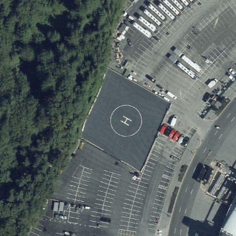 Confirmed
LANDOVER, MD
38.908775, -76.866933333
Flat pad with circle and H marking visible near center in a large lot.
✓ Confirmed by AI vision with Claude Opus 4.8
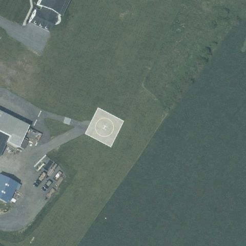 Confirmed
WESTMINSTER, MD
39.6376750000001, -77.144902778
Light square pad with marking centered in a field beside the water.
✓ Confirmed by AI vision with Claude Opus 4.8
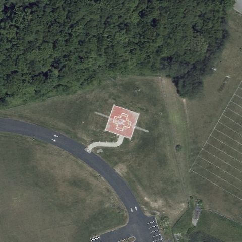 Confirmed
ELKTON, MD
39.621344444, -75.8374916669999
Red square ground pad with painted white H/cross marking at image center near fire station.
✓ Confirmed by AI vision with Claude Opus 4.8
 Confirmed
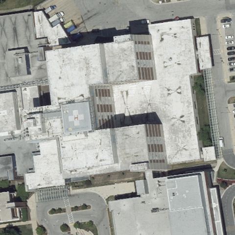
BALTIMORE, MD
39.351725, -76.478786111
Faint rooftop marking visible near center on the large hospital complex.
✓ Confirmed by AI vision with Claude Opus 4.8
 Confirmed
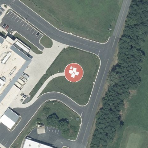
CAMBRIDGE, MD
38.5599333330001, -76.059691667
Circular pad with red-and-white medical cross marking sits at image center.
✓ Confirmed by AI vision with Claude Opus 4.8
 Confirmed
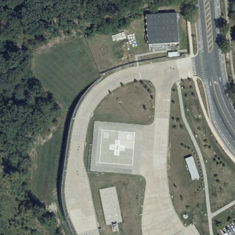
SILVER SPRING, MD
39.0511111110001, -76.9587722219999
Large square concrete pad with red-and-white cross marking near image center.
✓ Confirmed by AI vision with Claude Opus 4.8