 Not visible
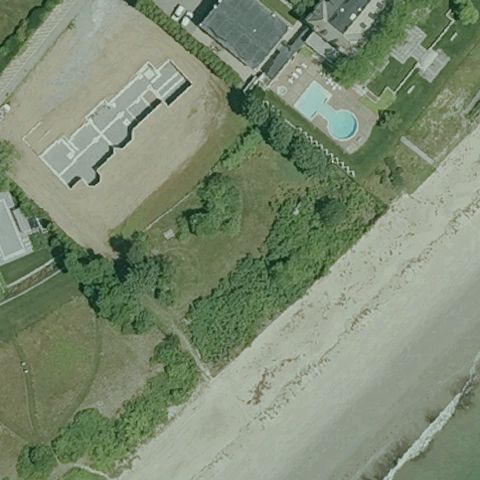
35MA Idlewile
BEVERLY, MA
42.5581861110001, -70.810280556
Center is grass and beach near homes with no pad or markings visible.
80% confidence
Verify on the map →
Is there really a pad here?
Data: FAA Airports (ArcGIS open layer) | Imagery: USGS NAIP (public domain) | AI vision: Claude Opus 4.8 | built 2026-07-05
A flag means a pad could not be confirmed from current imagery - never that a heliport is missing, fake, or mislocated. Help us check: vote on each one below.
Not visibleBEVERLY, MA
42.5581861110001, -70.810280556
Center is grass and beach near homes with no pad or markings visible.
 Not visible
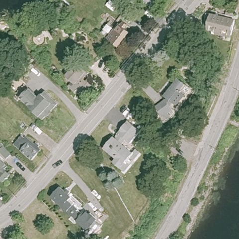
AMESBURY, MA
42.8351250000001, -70.9310833329999
Center is a residential neighborhood with trees and homes, no pad visible.
 Not visible
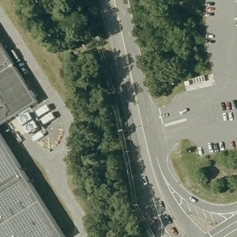
ANDOVER, MA
42.625092222, -71.180069444
Center is trees and a road between parking lots with no helipad marking.
 Not visible
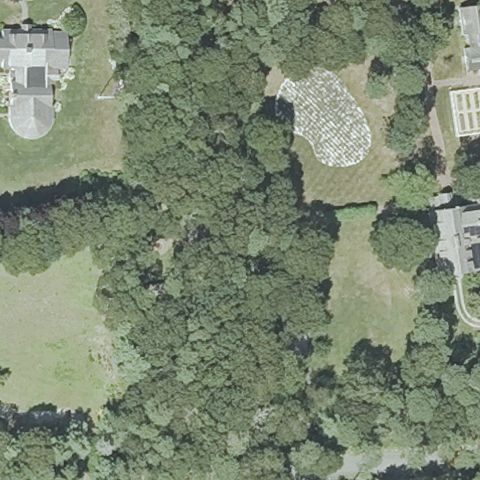
BARNSTABLE, MA
41.611499167, -70.415302778
Center is dense forest with a cleared gravel area but no pad markings.
 Not visible
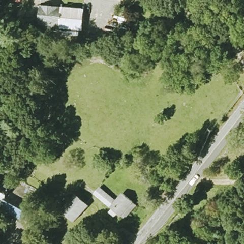
BARRE, MA
42.435923056, -72.0967449999999
Center is an open grass field with trees and no visible helipad.
 Not visible
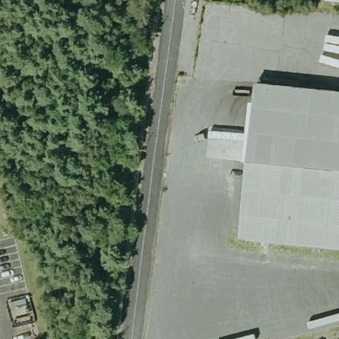
BROCKTON, MA
42.055933333, -71.055879444
Center is a road and large building roof with no helipad marking.
 Not visible
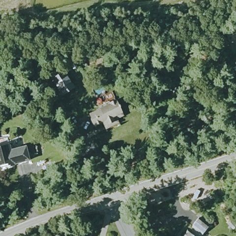
CARVER, MA
41.9244972220001, -70.769666667
Center shows a wooded residential lot with a house and yard, no pad markings visible.
 Not visible
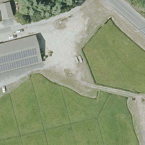
CARVER, MA
41.8466666670001, -70.7603333329999
Center is a gravel and grass farm area with sheds, no helipad marking.
 Not visible
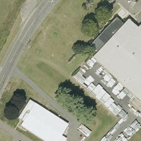
CHICOPEE, MA
42.1825927780001, -72.5614769439999
Center is grass and trees beside an industrial building with no pad.
 Not visible
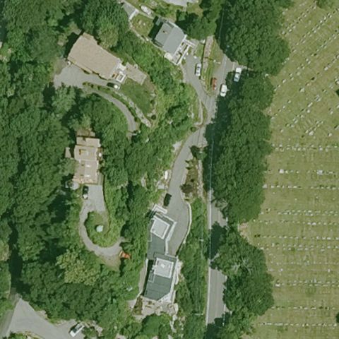
GLOUCESTER, MA
42.6278730560001, -70.637821389
Center is wooded residential area with no visible pad.
 Not visible
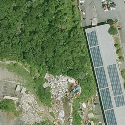
GLOUCESTER, MA
42.6284286110001, -70.643380833
Center is trees and debris beside a solar-roofed building, no pad.
 Not visible
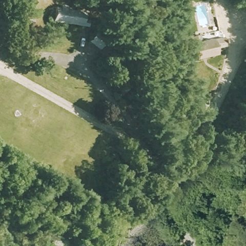
HANOVER, MA
42.125101111, -70.843097778
Center is dense trees with a small grass clearing and no pad marking.
 Not visible
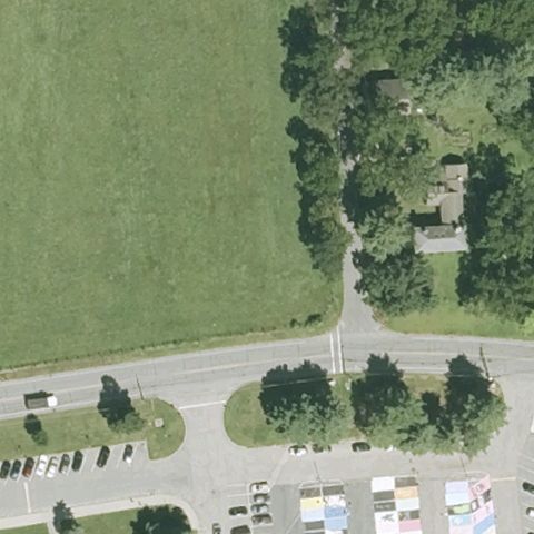
HOLLISTON, MA
42.2070555560001, -71.442694444
Center is an open grass field and road intersection with no pad.
 Not visible
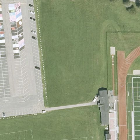
HOLLISTON, MA
42.2060083330001, -71.441444444
Center is a school sports field and grass with no helipad marking.
 Not visible
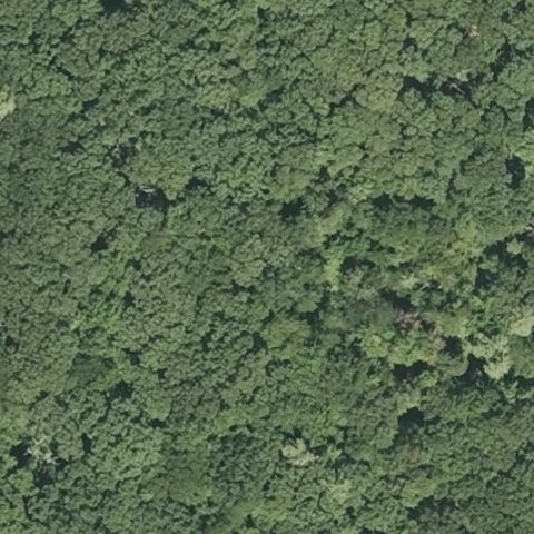
HOPKINTON, MA
42.224355556, -71.5596805559999
Entire image is dense forest canopy with no pad visible.
 Not visible
HUDSON, MA
42.3736111110001, -71.558333333
Center is trees beside a large warehouse roof with no helipad marking.
 Not visible
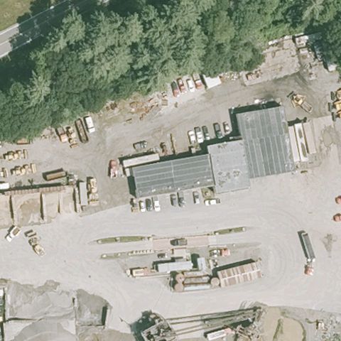
IPSWICH, MA
42.693080556, -70.9122972219999
Center is an industrial yard with materials and gravel, no pad.
 Not visible
MASHPEE, MA
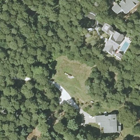
41.5906000000001, -70.4749416669999
Center is a grass clearing in woods near homes with no pad marking.
 Not visible
MAYNARD, MA
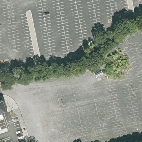
42.4278711110001, -71.457562778
Center is a large empty parking lot with no helipad marking.
 Not visible
NEW BEDFORD, MA
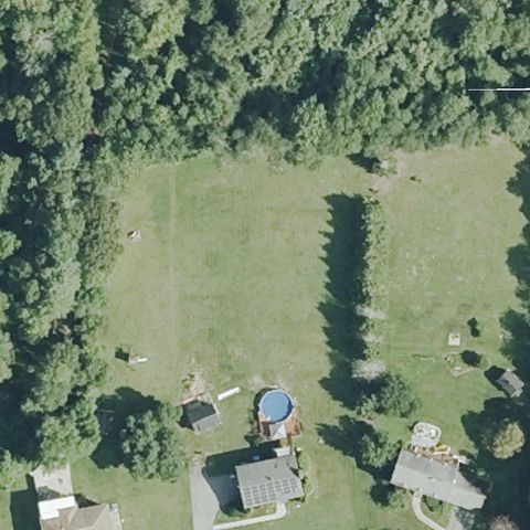
41.6216666670001, -71.014305556
Center is an open grass field beside homes with no pad marking.
 Not visible
NORTH DARTMOUTH, MA
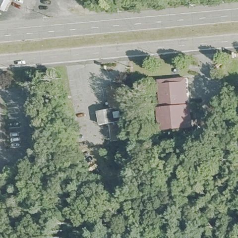
41.638347222, -71.0394249999999
Center is trees and a small building beside a road, no pad visible.
 Not visible
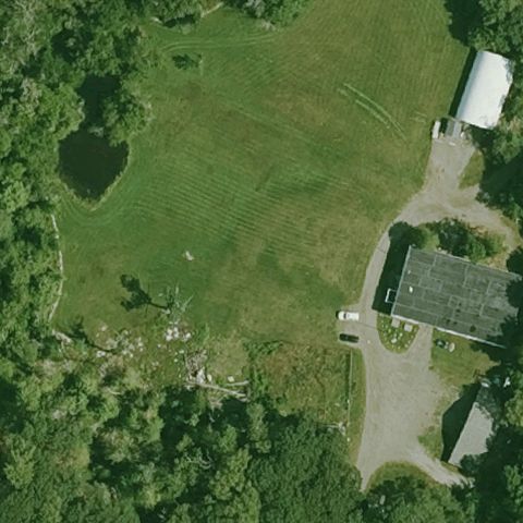
ROCKPORT, MA
42.6362063890001, -70.618654444
Center is an open grass field with farm buildings and no pad marking.
 Not visible
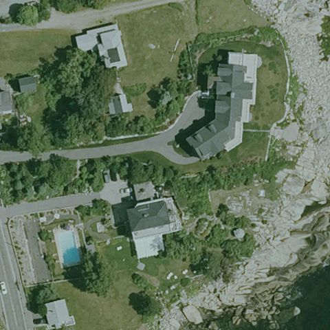
ROCKPORT, MA
42.672583333, -70.622083333
Center is rocky coastal terrain with homes and no helipad marking.
 Not visible
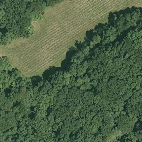
ROWLEY, MA
42.734302778, -70.867408333
Center is a field edge and dense forest with no pad visible.
 Not visible
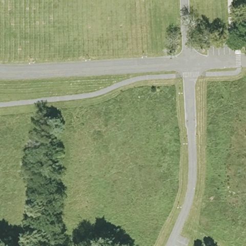
STOW, MA
42.4309261110001, -71.541731667
Center is grass fields and paths with no helipad marking.
 Not visible
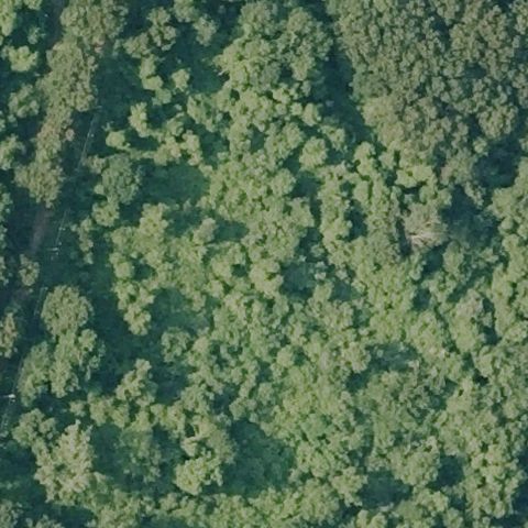
TAUNTON, MA
41.8612122220001, -71.107823056
Entire image is forest canopy with no pad visible.
 Not visible
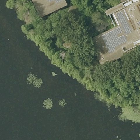
TEWKSBURY, MA
42.639258333, -71.224502778
Center is water and tree-lined shore beside a parking lot, no pad.
 Not visible
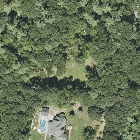
WESTMINSTER, MA
42.504852778, -71.9083916669999
Center is forest with a small clearing and no visible pad.
 Not visible
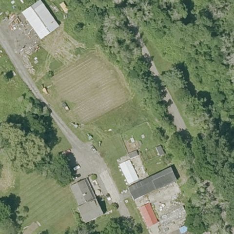
WEST NEWBURY, MA
42.8067638890001, -70.978888889
Center is an orchard field and trees with no helipad marking.
 Not visible
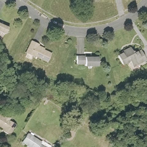
WEST SPRINGFIELD, MA
42.126481944, -72.669535556
Center is residential lawns and trees with no pad visible.
 Not visible
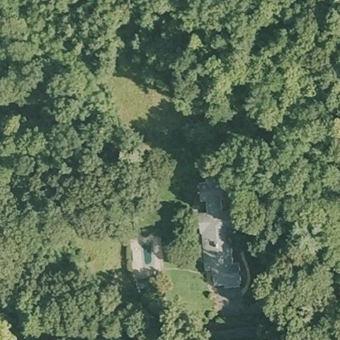
WILBRAHAM, MA
42.1230305560001, -72.423802778
Center is dense forest with a small clearing and driveway, no landing pad.
 Not visible
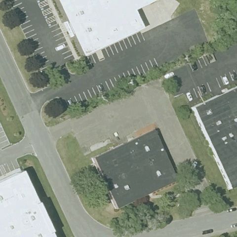
WOBURN, MA
42.5098166670001, -71.136443056
Center shows office buildings and parking lots with no helipad markings.
 Not visible
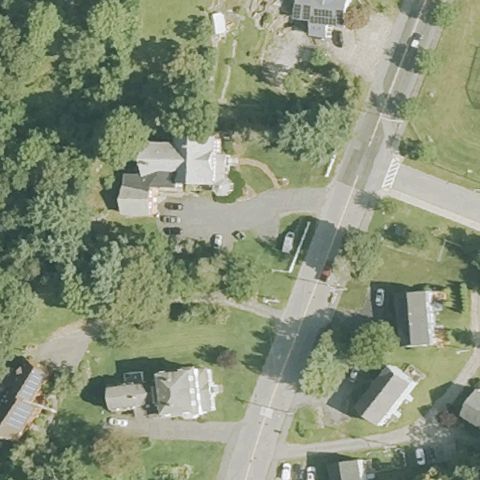
WORCESTER, MA
42.2611961110001, -71.769519444
Residential area with trees and roads at center, no pad visible.
 Not visible
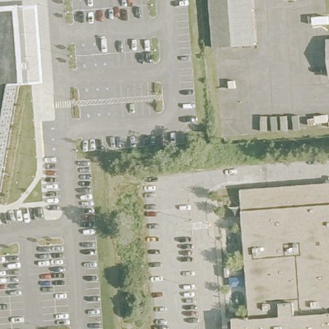
WORCESTER, MA
42.275, -71.7599999999999
Center is a paved lot/yard among hospital buildings with no clear pad marking.
 Not visible
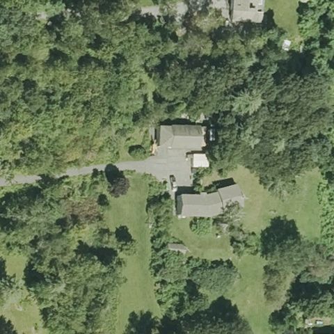
LEOMINSTER, MA
42.505063889, -71.7780333329999
House with driveway surrounded by woods, no pad at center.
 Not visible
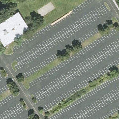
LITTLETON, MA
42.5492583330001, -71.472563889
Large striped parking lot at center with no helipad markings.
 Not visible
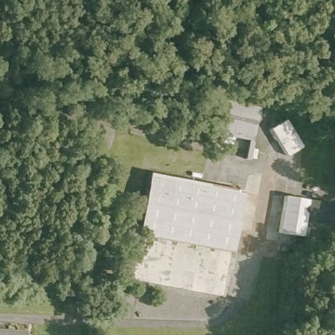
LUDLOW, MA
42.191481944, -72.4500849999999
Buildings and trees with a small yard, no landing pad visible.
 Not visible
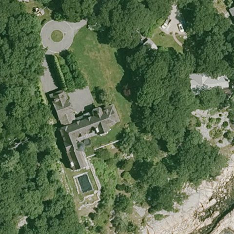
MANCHESTER-BY-THE SEA, MA
42.576336111, -70.738852778
Large estate with buildings, pool and woods, no helipad at center.
 Not visible
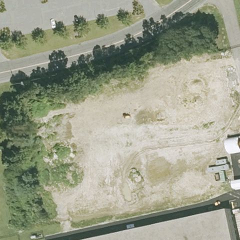
MILFORD, MA
42.1306527780001, -71.4842277779999
Bare dirt/construction lot at center with no discernible pad markings.
 Not visible
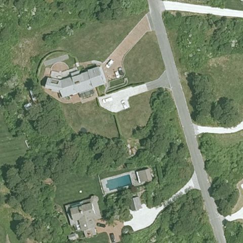
NANTUCKET, MA
41.284444444, -70.15
Center is open lawn between a private estate house and pool house with no discernible pad marking.
 Not visible
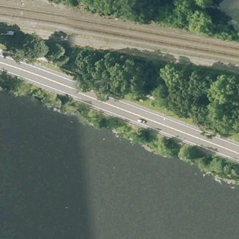
NATICK, MA
42.283429444, -71.366170278
Center is a road along water with trees, no landing pad.
 Not visible
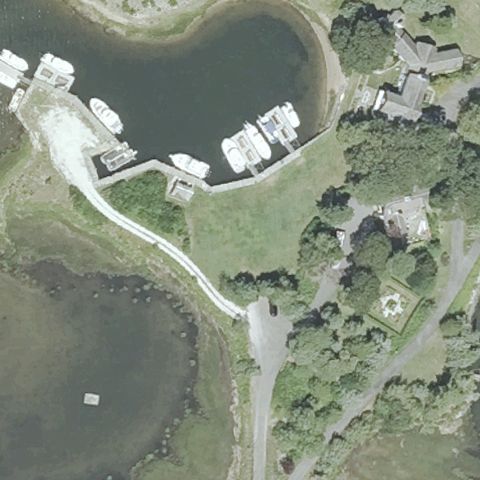
OSTERVILLE, MA
41.6268000000001, -70.399616667
Waterfront residential area with docks and trees, no pad visible.
 Not visible
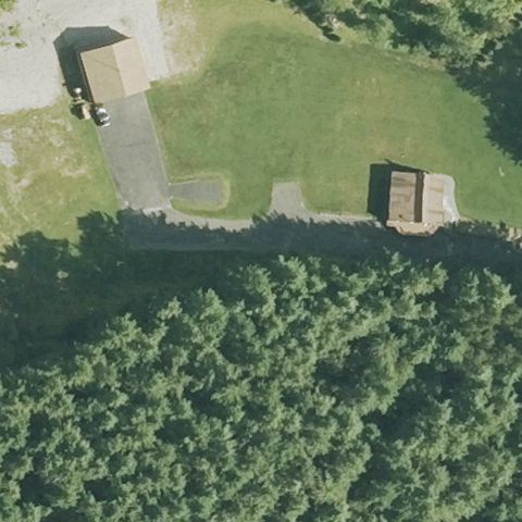
PEPPERELL, MA
42.690644444, -71.6089580559999
Grassy yard with small buildings and woods, no helipad markings.
 Not visible
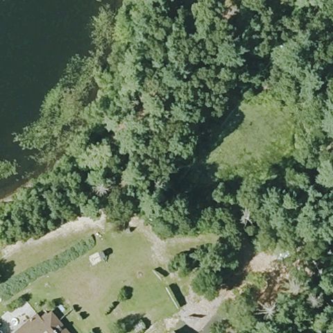
PLYMOUTH, MA
41.9170475000001, -70.709480556
Forest and pond shoreline at center, no landing pad.
 Not visible
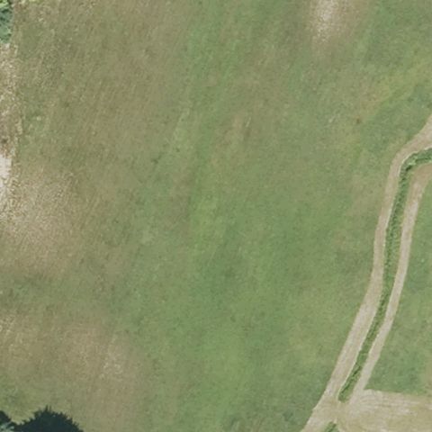
SOUTHWICK, MA
42.0628722220001, -72.724537222
Open grass field with faint tracks, no helipad marking at center.
 Not visible
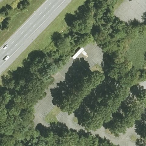
WESTFORD, MA
42.563316667, -71.432241667
Trees and a small structure near a highway, no helipad at center.
 Not visible
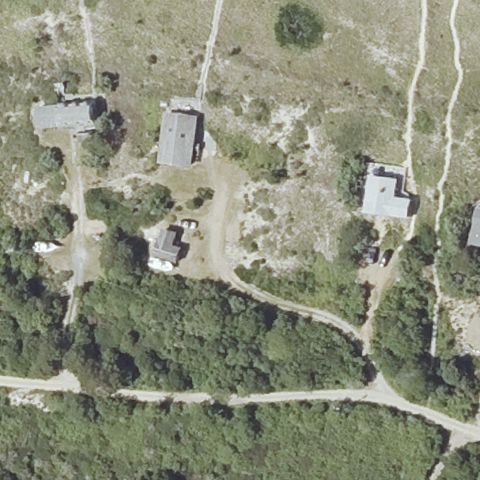
AQUINNAH, MA
41.354222222, -70.804755556
Scrubland with scattered houses and dirt paths, no pad visible.
 Not visible
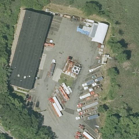
WILMINGTON, MA
42.5334080000001, -71.134173
Industrial building and yard cluttered with containers, no helipad markings.
 Not visible
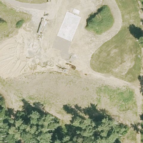
MONSON, MA
42.071744444, -72.321186111
Bare dirt/construction area at center with no pad markings.
 Not visible
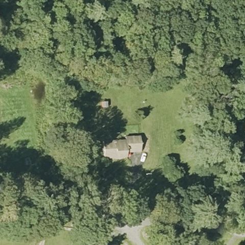
PETERSHAM, MA
42.4886111110001, -72.220277778
House in a grassy clearing surrounded by forest, no pad at center.
 Uncertain
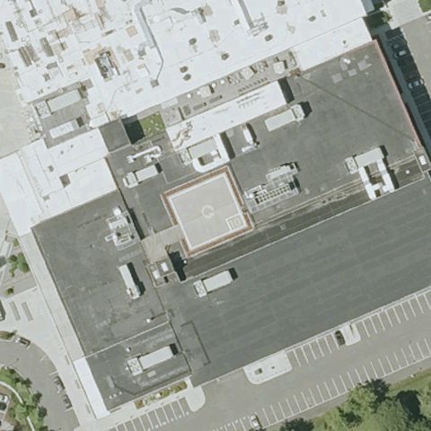
BOSTON, MA
42.315127778, -71.049263889
A reddish square rooftop area is at center but lacks clear H/circle pad markings.
 Uncertain
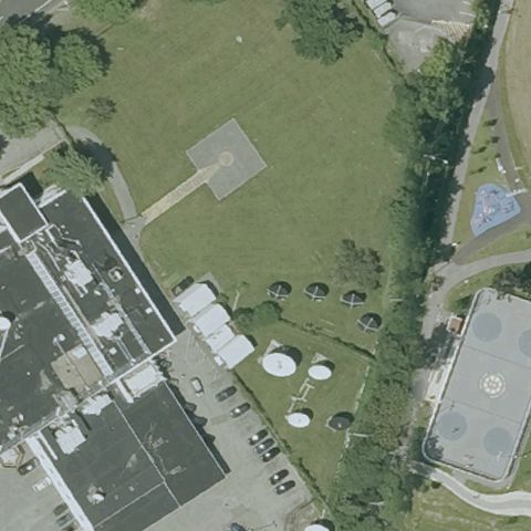
BOSTON, MA
42.3650969440001, -71.1325527779999
Center is open lawn with storage tanks nearby and no visible helipad marking.
 Uncertain
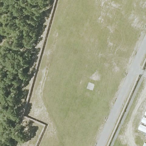
BOURNE, MA
41.6714961110001, -70.564751389
A small light square pad is off-center on a grass field at Camp Edwards, none at center.
 Uncertain
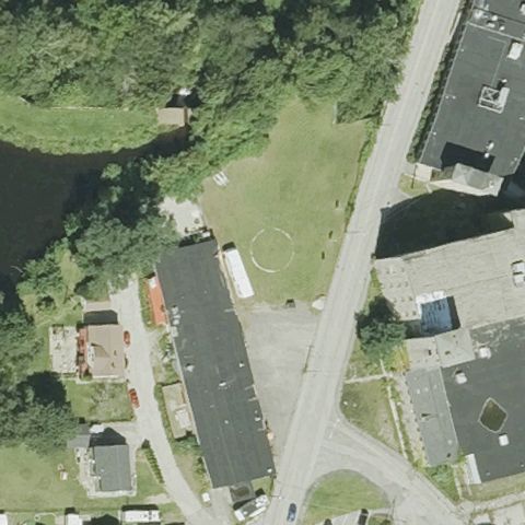
DUDLEY, MA
42.0502916670001, -71.8902305559999
A faint circular mark on grass is off to the side; center is residential street and yards.
 Uncertain
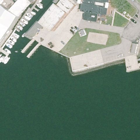
GLOUCESTER, MA
42.6100952780001, -70.660044167
A square marked area sits off-center on the USCG pier; center is mostly water and pavement.
 Uncertain
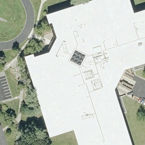
MARLBORO, MA
42.3262050000001, -71.576176667
Center is a large white building roof with rooftop equipment but no pad marking.
 Uncertain
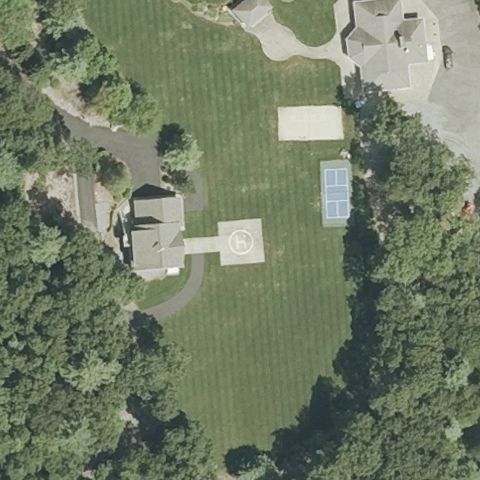
REHOBOTH, MA
41.7862277780001, -71.2314222219999
A light square sits off-center on a lawn near a tennis court; center is open grass.
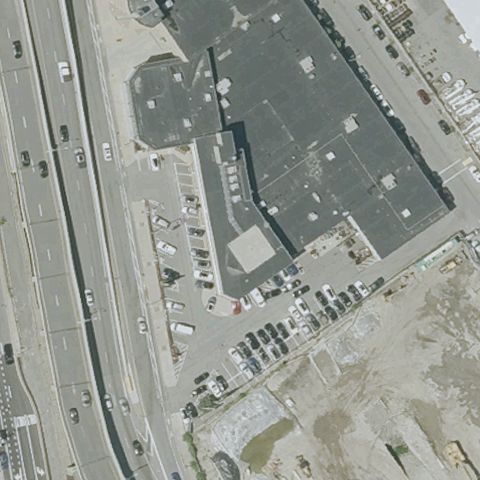 Uncertain
SOMERVILLE, MA
42.3781555560001, -71.088572222
Center is a large commercial building roof beside a highway with no pad marking.
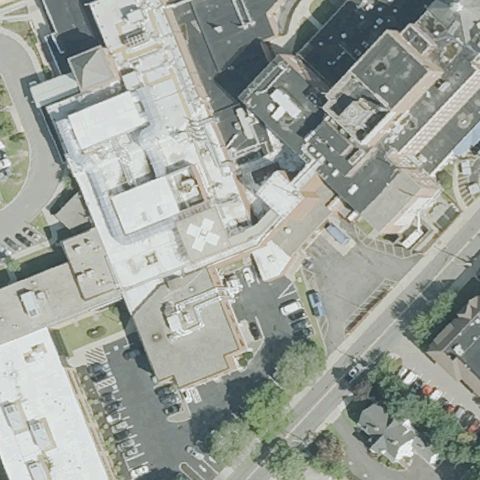 Uncertain
TAUNTON, MA
41.905713889, -71.094994444
Center is dense urban hospital rooftops with no clearly marked pad.
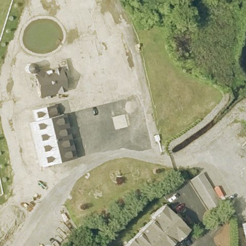 Uncertain
TEWKSBURY, MA
42.5975194440001, -71.204627778
Center is a paved former airfield apron with structures but no clear pad marking.
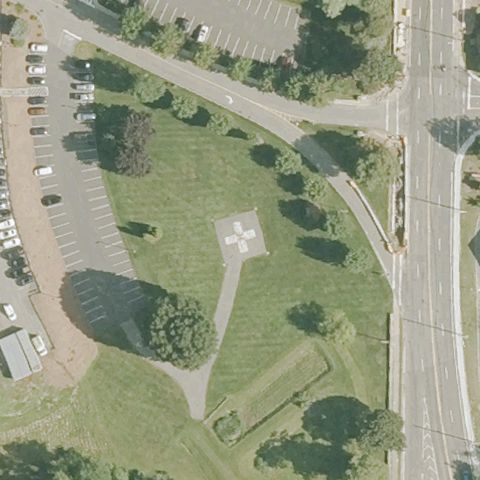 Uncertain
LEOMINSTER, MA
42.5405805560001, -71.7606249999999
Center is open grass with a faint square structure but no clear helipad marking.
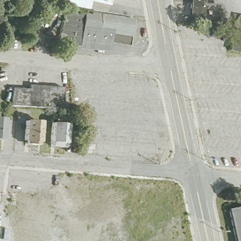 Uncertain
ATTLEBORO, MA
41.9404777780001, -71.277102778
Paved lot near buildings and roads at center with no clear helipad.
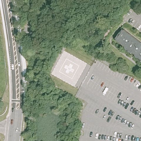 Confirmed
BEVERLY, MA
42.5662, -70.878225
White H on a square ground pad sits at image center beside Beverly Hospital parking.
✓ Confirmed by AI vision with Claude Opus 4.8
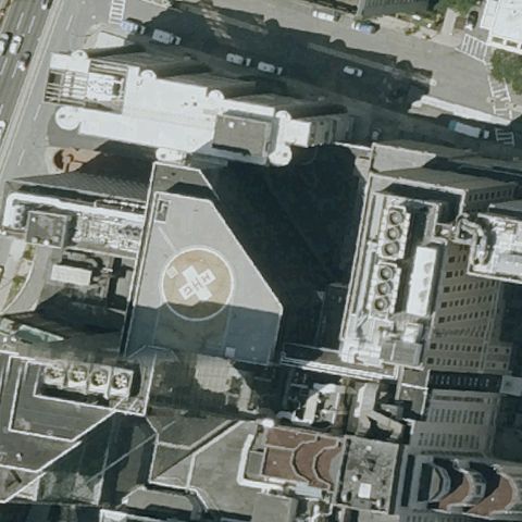 Confirmed
BOSTON, MA
42.363683333, -71.069227778
Circular rooftop helipad with center marking sits at center on the MGH building.
✓ Confirmed by AI vision with Claude Opus 4.8
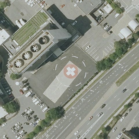 Confirmed
BOSTON, MA
42.333822222, -71.0713666669999
Red rooftop pad with white H and circle markings is clearly at center at Boston Medical Center.
✓ Confirmed by AI vision with Claude Opus 4.8
 Confirmed
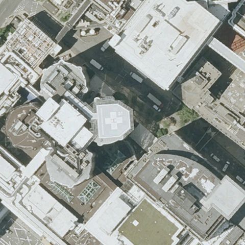
BOSTON, MA
42.336388889, -71.10675
Rooftop pad with white H marking is at center at Brigham and Women's Hospital.
✓ Confirmed by AI vision with Claude Opus 4.8
 Confirmed
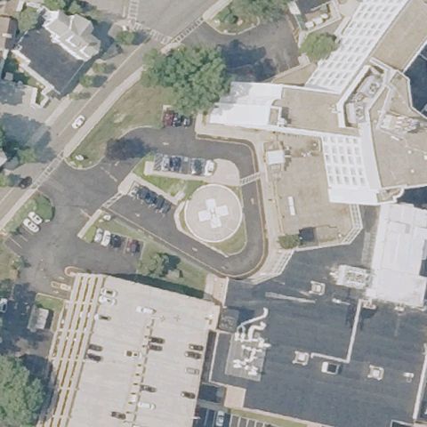
FALL RIVER, MA
41.709772222, -71.1468027779999
White H on a circular ground pad is at center at Charlton Memorial Hospital.
✓ Confirmed by AI vision with Claude Opus 4.8
 Confirmed
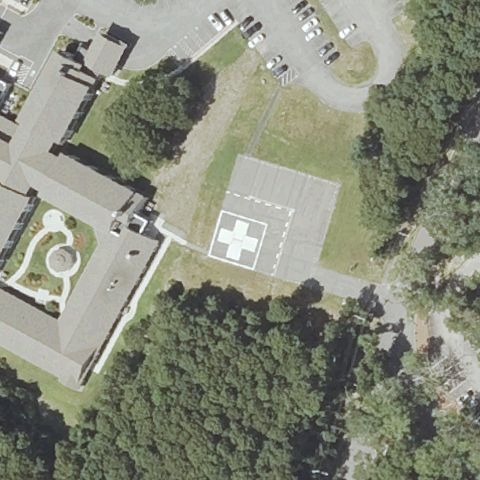
FALMOUTH, MA
41.565141667, -70.6246555559999
White H on a light square pad is at center near Falmouth Hospital grounds.
✓ Confirmed by AI vision with Claude Opus 4.8
 Confirmed
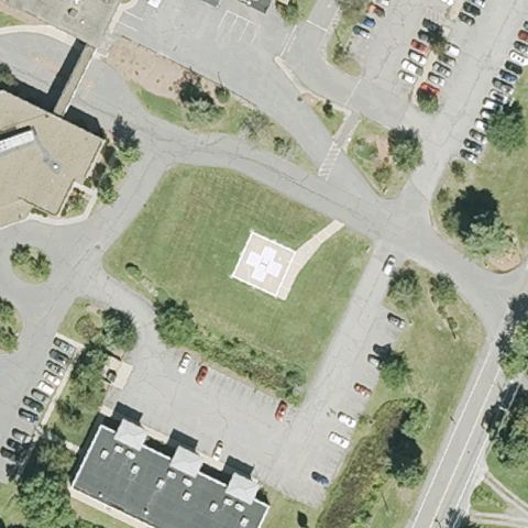
AYER, MA
42.576519444, -71.573855556
A light square pad with faint H sits on grass at center near Nashoba Valley Medical Center.
✓ Confirmed by AI vision with Claude Opus 4.8
 Confirmed
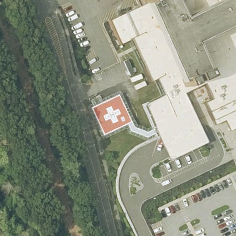
BURLINGTON, MA
42.4836750000001, -71.205708333
Red square rooftop pad with white H is at center at Lahey Hospital.
✓ Confirmed by AI vision with Claude Opus 4.8
 Confirmed
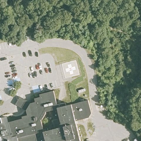
CLINTON, MA
42.4279500000001, -71.6928
Light square pad with white H is at center near Clinton Hospital lot.
✓ Confirmed by AI vision with Claude Opus 4.8
 Confirmed
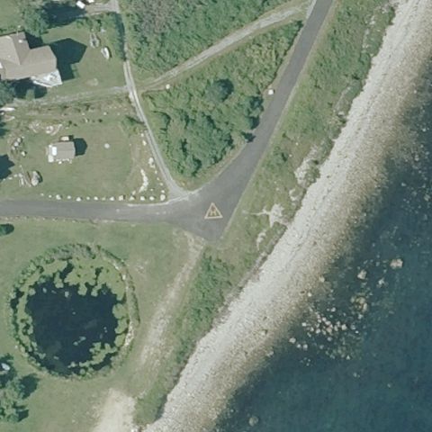
GOSNOLD, MA
41.4195750000001, -70.926922222
A triangular sign marked H sits on a small paved apron near a coastal road junction at image center.
✓ Confirmed by AI vision with Claude Opus 4.8
 Confirmed
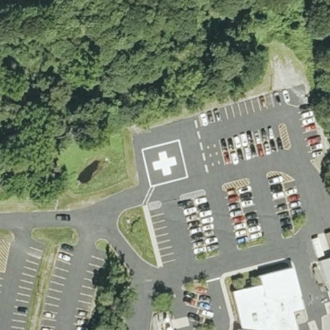
MARLBOROUGH, MA
42.3563722220001, -71.555369444
Clear white diamond-outlined H painted on pavement at the image center adjacent to the hospital parking lot.
✓ Confirmed by AI vision with Claude Opus 4.8
 Confirmed
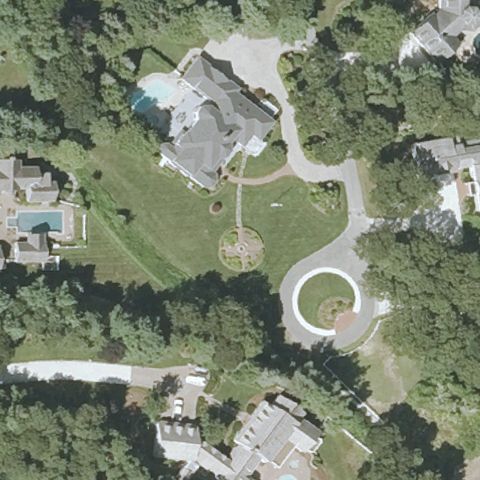
MARSTON MILLS, MA
41.6403875, -70.4078024999999
A circular marked pad sits at center within a residential driveway loop.
✓ Confirmed by AI vision with Claude Opus 4.8
 Confirmed
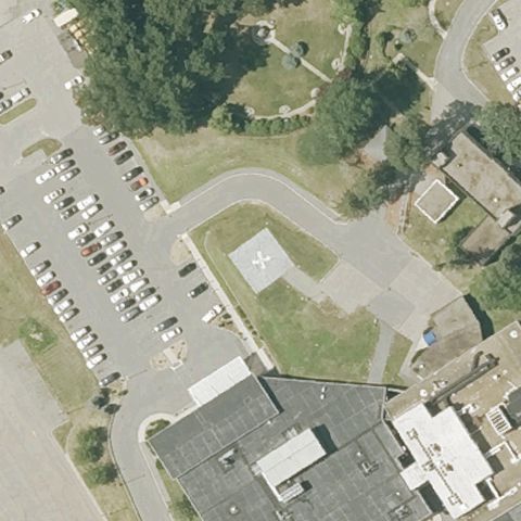
METHUEN, MA
42.7284722220001, -71.1693999999999
Light square pad with H is at center in the Holy Family Hospital lot.
✓ Confirmed by AI vision with Claude Opus 4.8
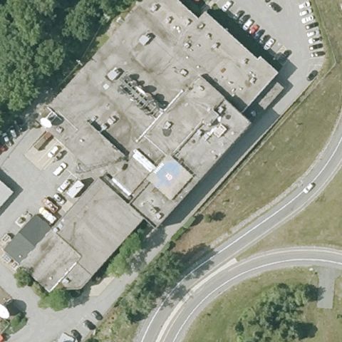 Confirmed
NEEDHAM, MA
42.3041694440001, -71.2270583329999
A small light square pad sits at center on the WCVB-TV building grounds.
✓ Confirmed by AI vision with Claude Opus 4.8
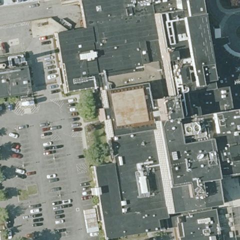 Confirmed
NEW BEDFORD, MA
41.6265000000001, -70.9386388889999
A tan square rooftop pad is at center among the St Luke's hospital buildings.
✓ Confirmed by AI vision with Claude Opus 4.8
 Confirmed
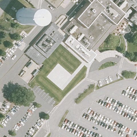
NEWBURYPORT, MA
42.8138388890001, -70.891544444
A light square pad with faint H sits at center at Anna Jaques Hospital.
✓ Confirmed by AI vision with Claude Opus 4.8
 Confirmed
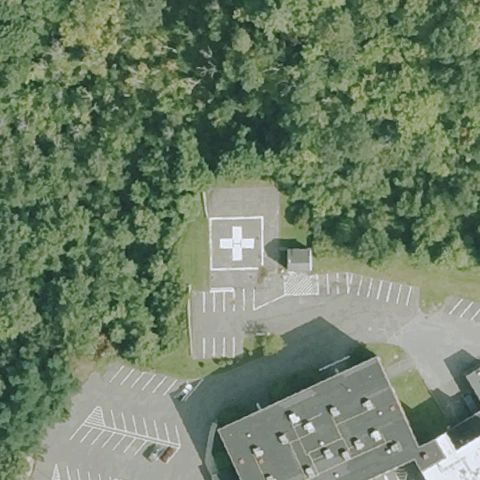
NORTH ADAMS, MA
42.7080527780001, -73.1102888889999
Dark square pad with white H is clearly at center at Berkshire Medical Center.
✓ Confirmed by AI vision with Claude Opus 4.8
 Confirmed
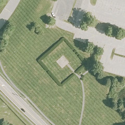
SHREWSBURY, MA
42.2739722220001, -71.6934416669999
A square pad outlined on grass is at center on the Quantum/Shrewsbury grounds.
✓ Confirmed by AI vision with Claude Opus 4.8
 Confirmed
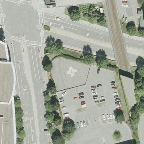
WORCESTER, MA
42.266363889, -71.7975638889999
A faint circular marker is visible in the paved area at center near the hospital.
✓ Confirmed by AI vision with Claude Opus 4.8
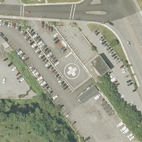 Confirmed
LAWRENCE, MA
42.708569444, -71.148527778
Clear white ground pad with an H marking surrounded by parking at center.
✓ Confirmed by AI vision with Claude Opus 4.8
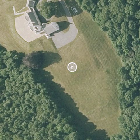 Confirmed
LINCOLN, MA
42.419647222, -71.3093499999999
White circular landing marker on a grass field near image center.
✓ Confirmed by AI vision with Claude Opus 4.8
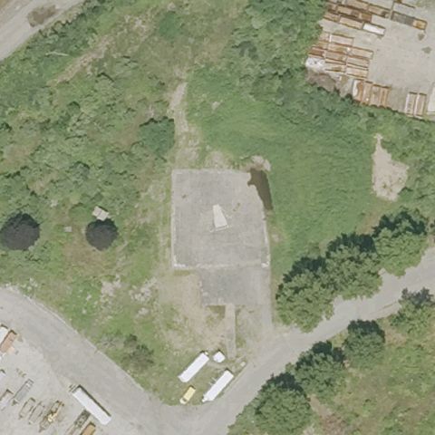 Confirmed
LYNN, MA
42.452138889, -70.965466667
A cleared rectangular paved area at center could be a ground pad but markings are unclear.
✓ Confirmed by AI vision with Claude Opus 4.8
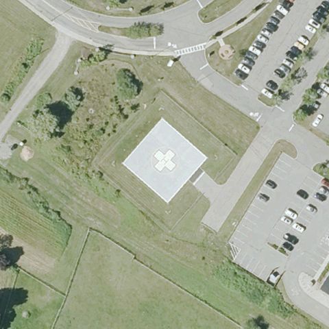 Confirmed
PLYMOUTH, MA
41.9401361110001, -70.6471722219999
Clear white square pad with cross/H marking at center near the hospital.
✓ Confirmed by AI vision with Claude Opus 4.8
 Confirmed
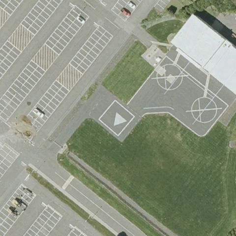
SPRINGFIELD, MA
42.1162327500001, -72.5425592779999
Marked landing area with circle and helipad markings on paved corporate grounds at center.
✓ Confirmed by AI vision with Claude Opus 4.8
 Confirmed
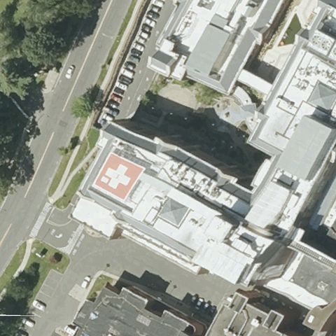
SPRINGFIELD, MA
42.1224111110001, -72.604086111
Red rooftop pad with white cross/H marking clearly visible at the hospital building near image center.
✓ Confirmed by AI vision with Claude Opus 4.8
 Confirmed
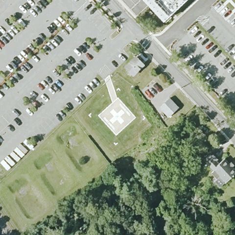
WAREHAM, MA
41.755038889, -70.714472222
White ground pad with H marking near the hospital buildings at center.
✓ Confirmed by AI vision with Claude Opus 4.8
 Confirmed
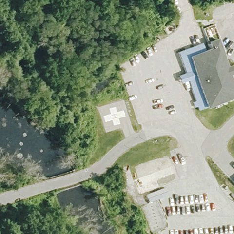
WEBSTER, MA
42.0275055560001, -71.8528249999999
A white paved pad is visible near image center beside the medical facility.
✓ Confirmed by AI vision with Claude Opus 4.8
 Confirmed
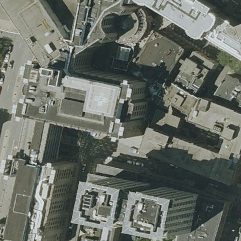
BOSTON, MA
42.3490374720001, -71.063224056
Rooftop pad with orange/red H marking on a downtown hospital building at center.
✓ Confirmed by AI vision with Claude Opus 4.8
 Confirmed
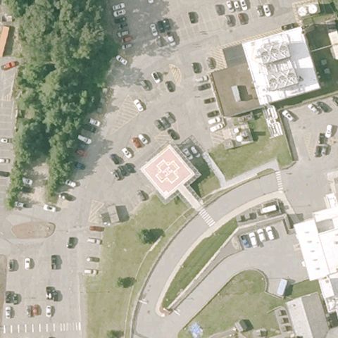
LOWELL, MA
42.648158333, -71.342911111
Red/orange ground pad with H marking surrounded by parking at center.
✓ Confirmed by AI vision with Claude Opus 4.8
 Confirmed
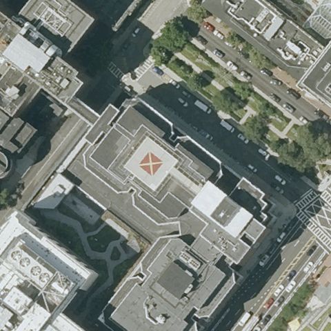
BOSTON, MA
42.338161111, -71.1091083329999
Rooftop pad with red H marking on a hospital building at image center.
✓ Confirmed by AI vision with Claude Opus 4.8
 Confirmed
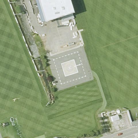
FOXBOROUGH, MA
42.0886611110001, -71.263288889
White H pad on a paved area beside the stadium at image center.
✓ Confirmed by AI vision with Claude Opus 4.8
 Confirmed
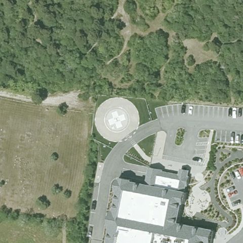
NANTUCKET, MA
41.2757777780001, -70.1018333329999
White circular landing pad near image center by the hospital.
✓ Confirmed by AI vision with Claude Opus 4.8
 Confirmed
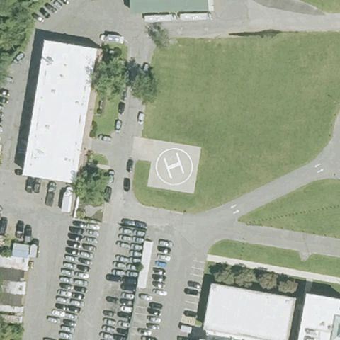
FRAMINGHAM, MA
42.296594306, -71.415830833
White ground pad with clear H marking on a grass field at center.
✓ Confirmed by AI vision with Claude Opus 4.8
 Confirmed
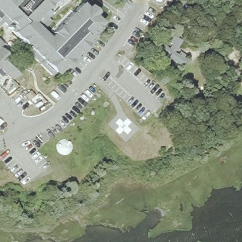
OAK BLUFFS, MA
41.4598116670001, -70.578920694
White cross/circle pad with a nearby windcone at the hospital near center.
✓ Confirmed by AI vision with Claude Opus 4.8