 Not visible
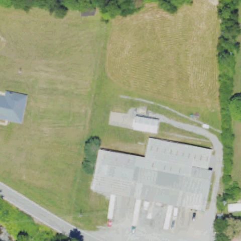
90KY Mother Nature Spring Water
ASHCAMP, KY
37.2587472220001, -82.461477778
Center is open field and generic warehouse buildings with no landing pad.
85% confidence
Verify on the map →
Is there really a pad here?
Data: FAA Airports (ArcGIS open layer) | Imagery: USGS NAIP (public domain) | AI vision: Claude Opus 4.8 | built 2026-07-05
A flag means a pad could not be confirmed from current imagery - never that a heliport is missing, fake, or mislocated. Help us check: vote on each one below.
Not visibleASHCAMP, KY
37.2587472220001, -82.461477778
Center is open field and generic warehouse buildings with no landing pad.
 Not visible
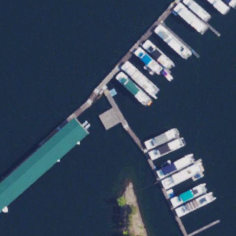
ALBANY, KY
36.828583333, -85.122941667
Center is a marina on open water with docked boats, no pad.
 Not visible
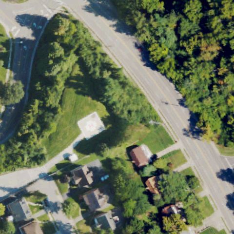
FORT THOMAS, KY
39.0778380560001, -84.4646636109999
Center shows road, trees and houses with no visible landing pad.
 Not visible
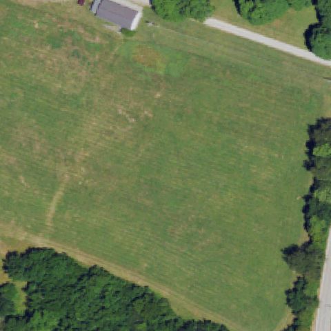
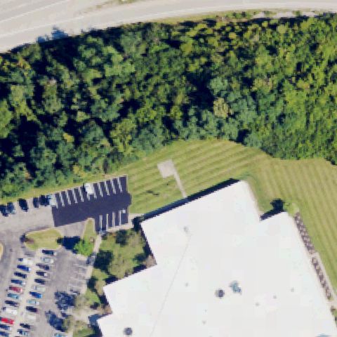
FRANKFORT, KY
38.1944444440001, -84.911111111
Center is an open grass field with no pad or markings visible.
 Not visible
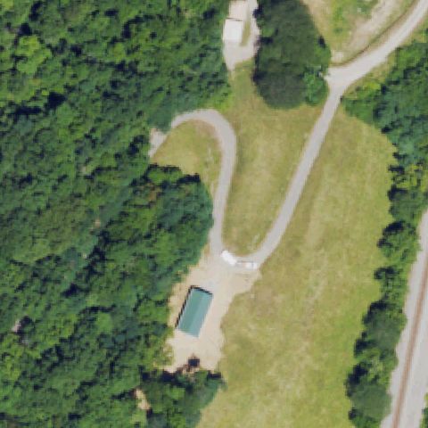
HIGHLAND HEIGHTS, KY
39.044516667, -84.4626
Center is trees and a large building roof with no pad marking.
 Not visible
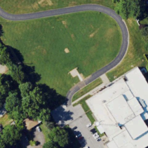
ERLANGER, KY
38.9811111110001, -84.544722222
Center is forest, grass and a driveway with no pad.
 Not visible
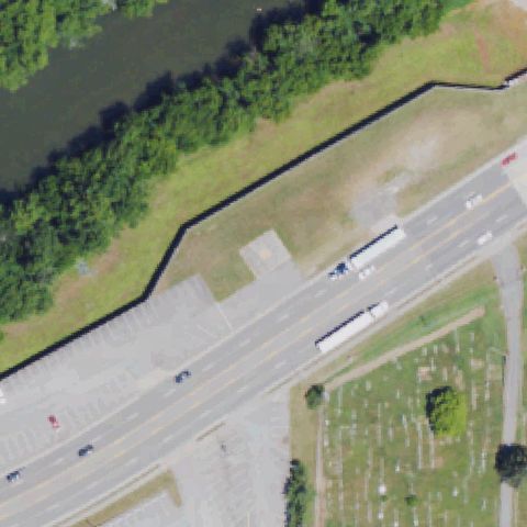
LOUISVILLE, KY
38.263938889, -85.710527778
Center is an open grassy field with no landing pad or markings visible.
 Not visible
PINEVILLE, KY
36.763888889, -83.7070555559999
Center shows a road, river and cemetery with no landing pad visible.
 Not visible
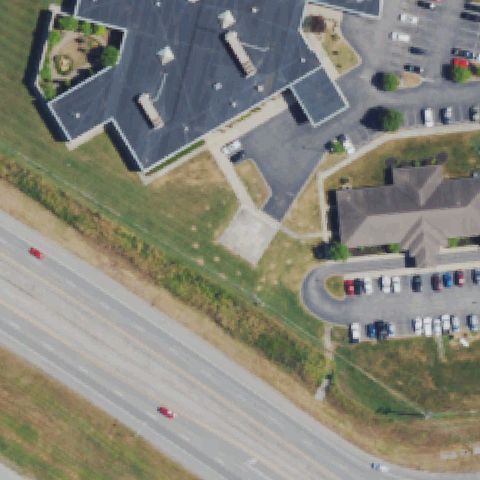
STANFORD, KY
37.541991667, -84.653136111
Center is hospital roof, grass and road with no distinct landing pad or markings.
 Not visible
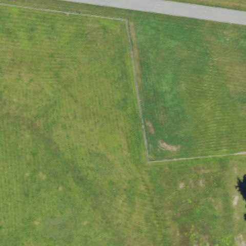
MIDDLESBORO, KY
36.6095263890001, -83.742138611
Center is an open grass field with only a faint fence line, no pad.
 Not visible
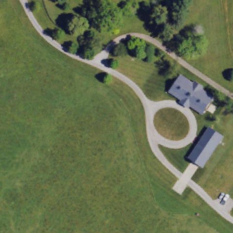
PARIS, KY
38.158822222, -84.180336111
Center shows a residential circular driveway loop, not a marked landing pad.
 Not visible
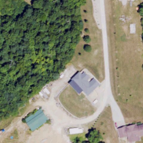
DRY RIDGE, KY
38.6794444440001, -84.664722222
Center shows forest, a house, and a driveway with no pad or markings.
 Not visible
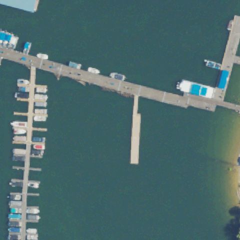
MONTICELLO, KY
36.9549138890001, -84.8255722219999
Marina with docks and boats; image center is open water.
 Not visible
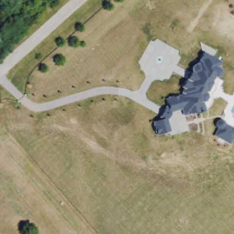
LEXINGTON, KY
38.0809944440001, -84.369197222
Large residence with circular driveway feature but no helicopter pad markings.
 Not visible
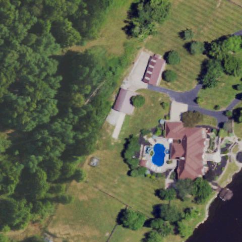
LEXINGTON, KY
37.923075, -84.462986111
Residential estate with pool and circular drive, no pad visible at center.
 Not visible
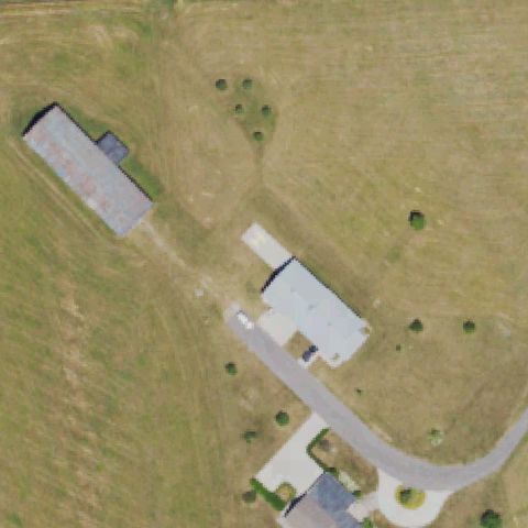
LEXINGTON, KY
37.9258333330001, -84.392222222
Farm buildings and open field with no pad or markings at center.
 Not visible
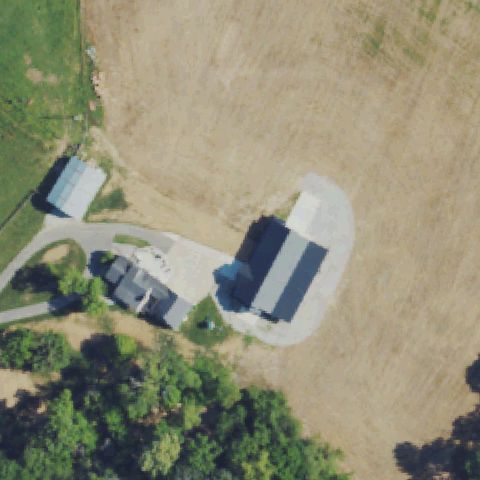
MONTICELLO, KY
36.929675, -84.7640499999999
Farmstead with barns and bare field; no helicopter pad present.
 Not visible
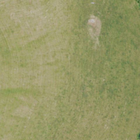
TAYLORSVILLE, KY
38.0212472220001, -85.377827778
Open grass field with only faint ground marks, no distinct pad at center.
 Not visible
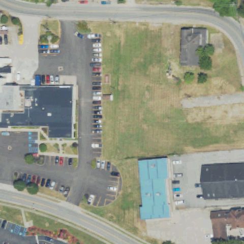
PAINTSVILLE, KY
37.8153861110001, -82.812016667
Grass lot and parking areas around buildings; no pad visible at center.
 Not visible
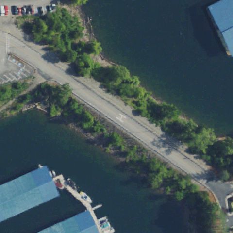
JAMESTOWN, KY
36.9372666670001, -85.046638889
Center is a road/causeway between marina water with only a faint marking, no pad.
 Not visible
LOUISVILLE, KY
38.239597222, -85.486758333
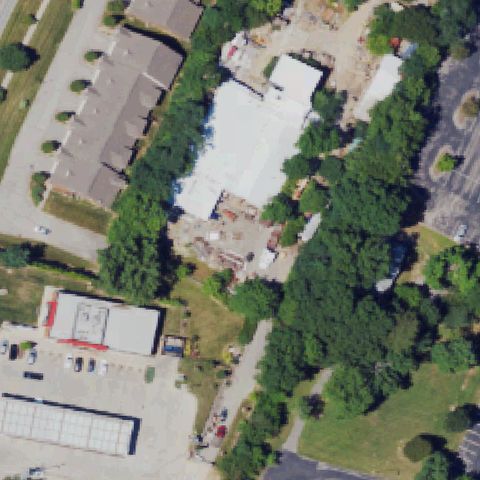
Buildings, trees, and parking lots with no helicopter pad at center.
 Off-center
COVINGTON, KY
39.0278500000001, -84.524363889
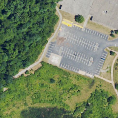
Square pad with cross marking visible left of center beside parking lot.
 Off-center
FULTON, KY
36.518716667, -88.897086111
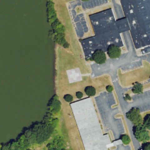
Square pad with red cross marking visible left of center near lakeside building.
 Off-center
LEXINGTON, KY
38.029708333, -84.508894444
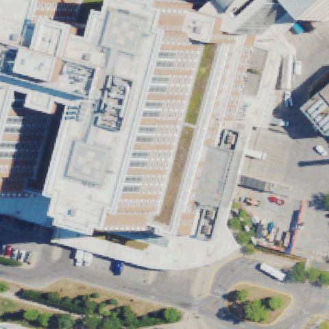
Rooftop pad with cross marking visible lower-left of image center.
 Off-center
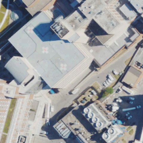
LEXINGTON, KY
38.030413889, -84.508019444
Faint rooftop cross markings visible left of center in dense hospital complex.
 Off-center
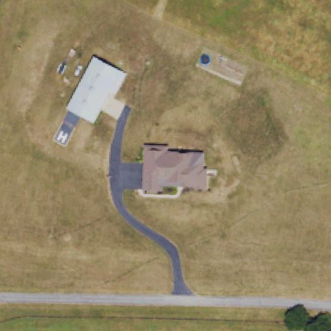
LEXINGTON, KY
37.924833333, -84.395222222
Small pad with H marking on building extension left of center.
 Off-center
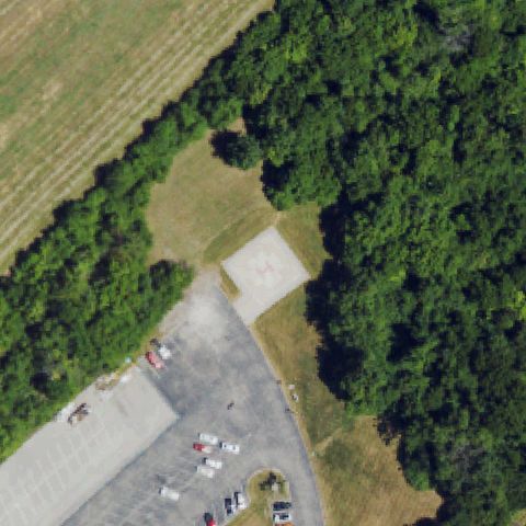
BEREA, KY
37.5784722220001, -84.286138889
Plain concrete pad lower-left of center, unmarked, at edge of paved lot.
 Off-center
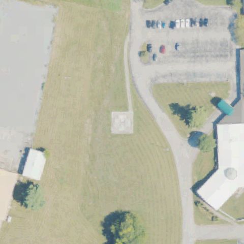
CARLISLE, KY
38.3161250000001, -84.0600916669999
Small square pad with faint H marking left of center on grass.
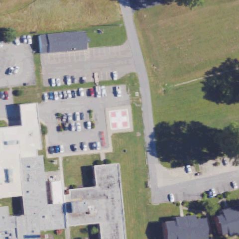 Off-center
CARROLLTON, KY
38.6805055560001, -85.168030556
Square pad with cross marking just left of center beside parking lot.
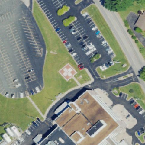 Off-center
GLASGOW, KY
37.0118055560001, -85.904805556
Square pad with red cross marking left of center near hospital parking.
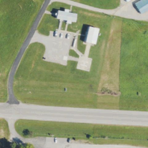 Off-center
HARDINSBURG, KY
37.7619083330001, -86.452683333
Small concrete pad with faint H marking just below center at facility.
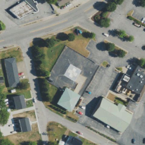 Off-center
HOPKINSVILLE, KY
36.8608083330001, -87.497680556
Rooftop pad with white cross marking left of image center on hospital.
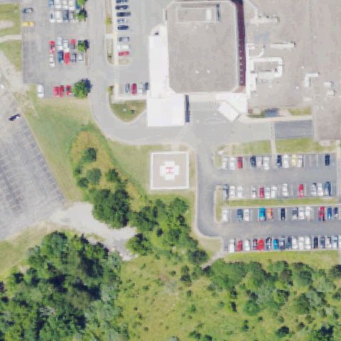 Off-center
LA GRANGE, KY
38.3941833330001, -85.376869444
Square ground pad with red cross/H marking sits below and left of image center.
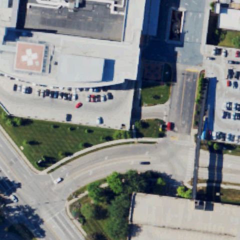 Off-center
LOUISVILLE, KY
38.214444444, -85.7225
Rooftop pad with red cross sits in upper-left corner, away from image center.
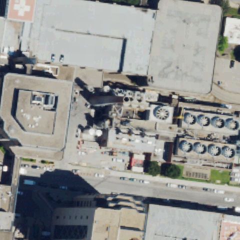 Off-center
LOUISVILLE, KY
38.249575, -85.750127778
Rooftop pad with red cross is in upper-left corner, not at image center.
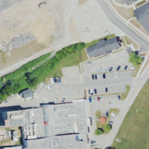 Off-center
MANCHESTER, KY
37.1626027780001, -83.761861111
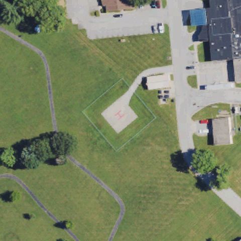
Pad with painted H is left of center near parking and buildings.
 Off-center
PARIS, KY
38.2205555560001, -84.239319444
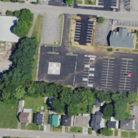
Pad with white cross marking sits lower-right of image center on grass.
 Off-center
DANVILLE, KY
37.643291667, -84.776083333
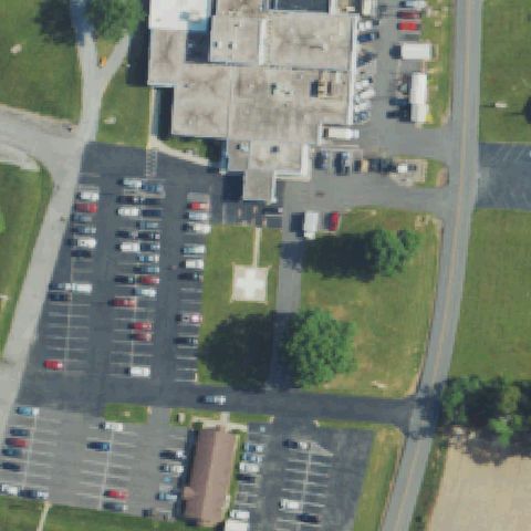
Square pad with white cross is left of image center on grass.
 Off-center
RUSSELL SPRINGS, KY
37.0570555560001, -85.0674999999999
Faint plain concrete square pad left of image center on hospital grounds.
 Off-center
MANCHESTER, KY
37.1337638890001, -83.758288889
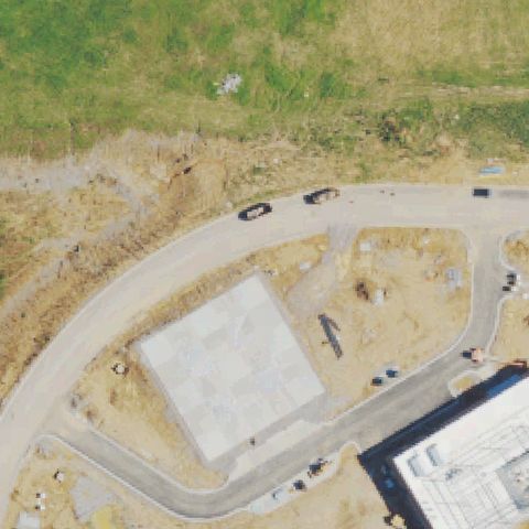
Faint red H marking on a pad left of image center within fenced compound.
 Off-center
LEXINGTON, KY
38.0338333330001, -84.418583333
Large square concrete prepared pad below-left of center with no visible markings, likely under construction.
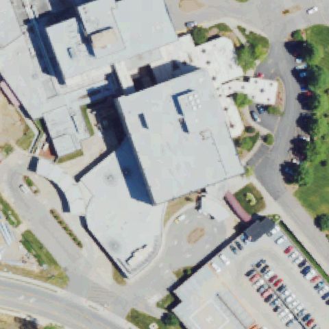 Uncertain
ELIZABETHTOWN, KY
37.709830556, -85.876261111
Center is a large hospital roof with no distinct pad marking visible.
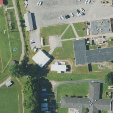 Uncertain
HARLAN, KY
36.8088888890001, -83.3149999999999
Center is grass and roadway with no clear pad marking visible.
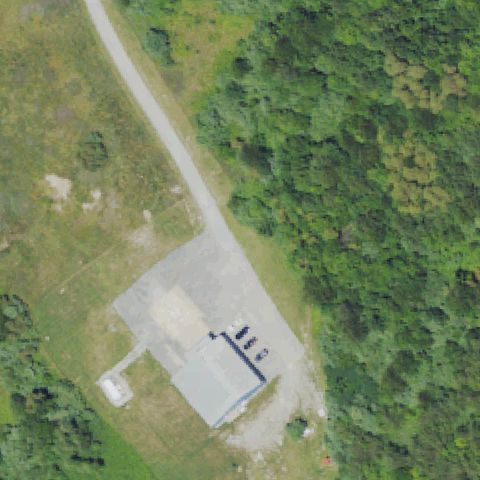 Uncertain
JENKINS, KY
37.1599722220001, -82.6637777779999
Center is an industrial building and gravel lot with no pad marking.
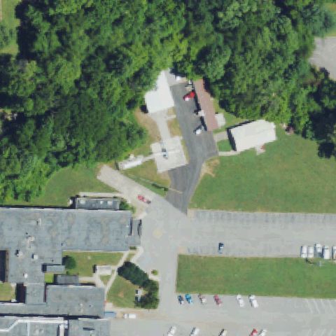 Uncertain
MIDDLESBORO, KY
36.6067820000001, -83.7395549999999
Center shows trees, buildings and driveways with no clear landing pad.
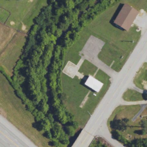 Uncertain
INEZ, KY
37.8527777780001, -82.546111111
Center is field and trees with a faint gray patch but no clear pad or marking.
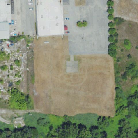 Uncertain
CUMBERLAND, KY
36.9660000000001, -83.022166667
Bare dirt field with only a faint ghost circle; no constructed pad visible, imagery may predate or postdate the pad.
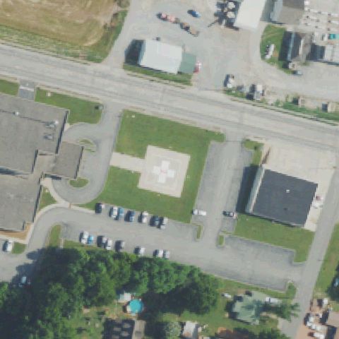 Confirmed
ALBANY, KY
36.6979111110001, -85.145733333
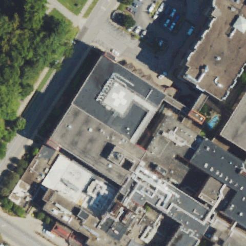
Square concrete pad with white medical cross marking sits at image center.
✓ Confirmed by AI vision with Claude Opus 4.8
 Confirmed
ASHLAND, KY
38.470833333, -82.6349999999999
Hospital rooftop pad with white cross marking near image center.
✓ Confirmed by AI vision with Claude Opus 4.8
 Confirmed
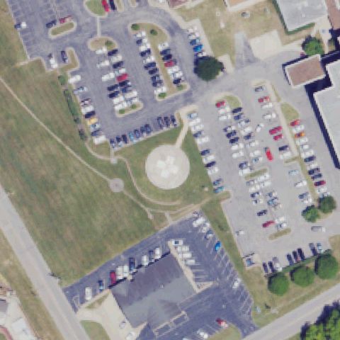
BOWLING GREEN, KY
36.9637916670001, -86.4375388889999
Circular pad with center marking on hospital grounds at image center.
✓ Confirmed by AI vision with Claude Opus 4.8
 Confirmed
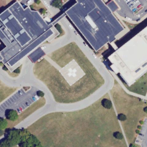
BOWLING GREEN, KY
36.994463889, -86.428616667
Square concrete pad with white cross marking centered between hospital buildings.
✓ Confirmed by AI vision with Claude Opus 4.8
 Confirmed
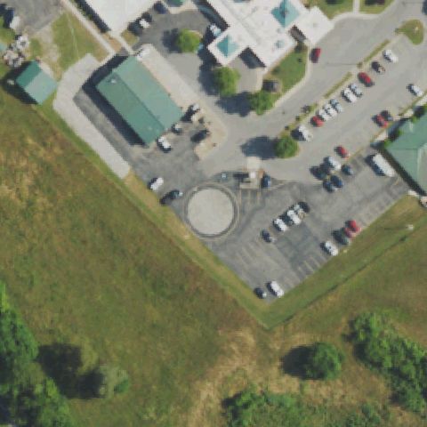
BURKESVILLE, KY
36.7955166670001, -85.373072222
Circular paved touchdown area in parking lot near image center.
✓ Confirmed by AI vision with Claude Opus 4.8
 Confirmed
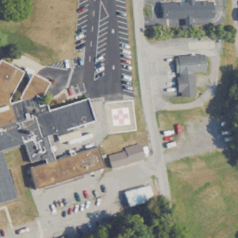
CADIZ, KY
36.8663611110001, -87.8211388889999
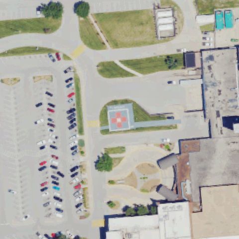
Square pad with red cross marking just below center beside hospital.
✓ Confirmed by AI vision with Claude Opus 4.8
 Confirmed
CORBIN, KY
36.9233333330001, -84.120444444
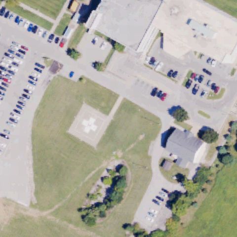
Square pad with red cross and H marking near image center at hospital.
✓ Confirmed by AI vision with Claude Opus 4.8
 Confirmed
CYNTHIANA, KY
38.3825000000001, -84.278055556
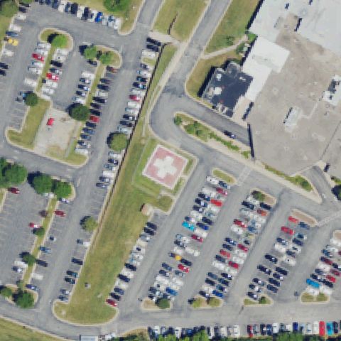
Square concrete pad with white cross marking near image center on grass.
✓ Confirmed by AI vision with Claude Opus 4.8
 Confirmed
FRANKFORT, KY
38.159763889, -84.90775
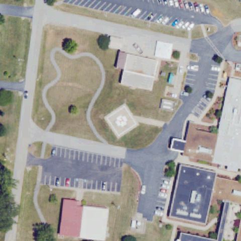
Square pad with faint cross marking near center beside hospital parking.
✓ Confirmed by AI vision with Claude Opus 4.8
 Confirmed
FRANKLIN, KY
36.7000444440001, -86.577725
Square pad with white cross marking near image center on hospital grounds.
✓ Confirmed by AI vision with Claude Opus 4.8
 Confirmed
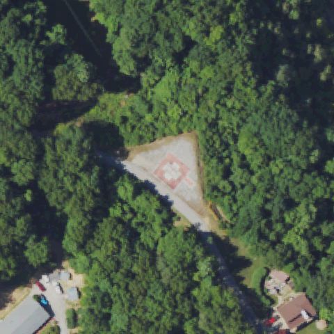
HYDEN, KY
37.16725, -83.4004166669999
Cleared pad with red cross marking near center in forest opening.
✓ Confirmed by AI vision with Claude Opus 4.8
 Confirmed
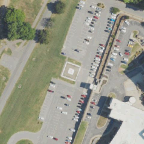
HENDERSON, KY
37.8555638890001, -87.583783333
Faint square concrete pad near center beside hospital parking lot.
✓ Confirmed by AI vision with Claude Opus 4.8
 Confirmed
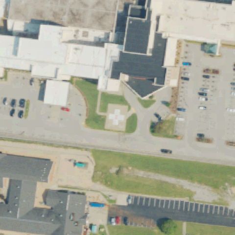
LEITCHFIELD, KY
37.472169444, -86.288191667
Square pad with cross marking near center between hospital buildings.
✓ Confirmed by AI vision with Claude Opus 4.8
 Confirmed
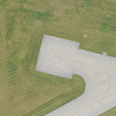
LEXINGTON, KY
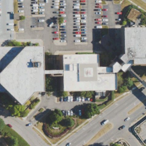
38.081583333, -84.31825
Concrete apron with white H marking near image center.
✓ Confirmed by AI vision with Claude Opus 4.8
 Confirmed
LEXINGTON, KY
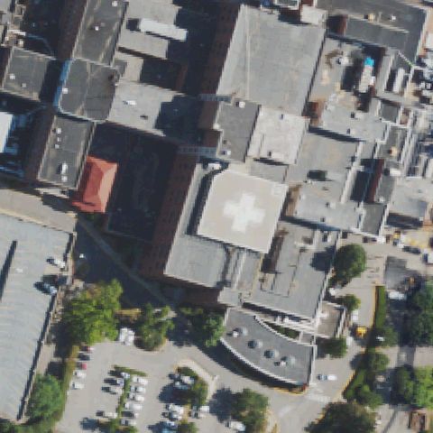
38.033166667, -84.525580556
Rooftop pad with red H marking near image center on hospital building.
✓ Confirmed by AI vision with Claude Opus 4.8
 Confirmed
LEXINGTON, KY
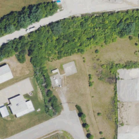
38.0176000000001, -84.5120138889999
Rooftop pad with white cross marking near image center on hospital.
✓ Confirmed by AI vision with Claude Opus 4.8
 Confirmed
LEXINGTON, KY
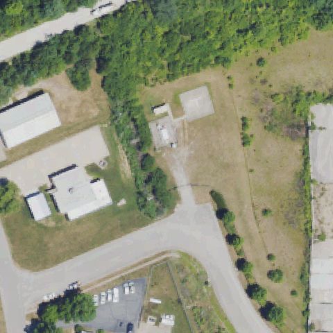
37.964008333, -84.371847222
Plain square concrete pad near center, unmarked, surrounded by field.
✓ Confirmed by AI vision with Claude Opus 4.8
 Confirmed
LEXINGTON, KY
37.9637750000001, -84.371988889
Plain square concrete pad near center, unmarked, on cleared lot.
✓ Confirmed by AI vision with Claude Opus 4.8
 Confirmed
LIBERTY, KY
37.318027778, -84.932111111
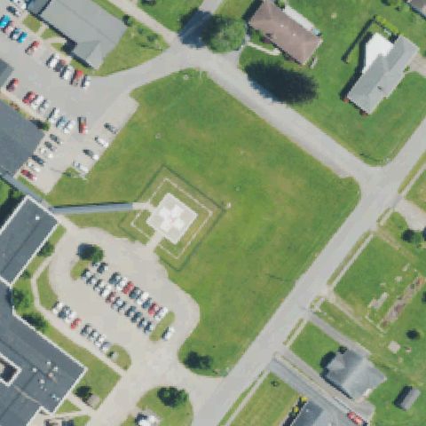
Square pad with white cross marking near center on hospital lawn.
✓ Confirmed by AI vision with Claude Opus 4.8
 Confirmed
BARDSTOWN, KY
37.8610861110001, -85.5231416669999
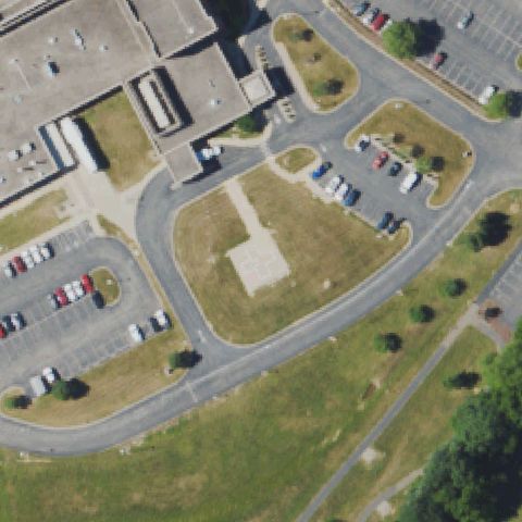
Faint square concrete pad near center, unmarked, on grass area.
✓ Confirmed by AI vision with Claude Opus 4.8
 Confirmed
BEDFORD, KY
38.657066667, -85.317441667
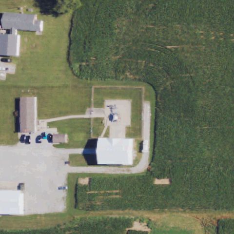
Helicopter parked on a pad near image center confirms landing area.
✓ Confirmed by AI vision with Claude Opus 4.8
 Confirmed
BENTON, KY
36.86765, -88.370641667
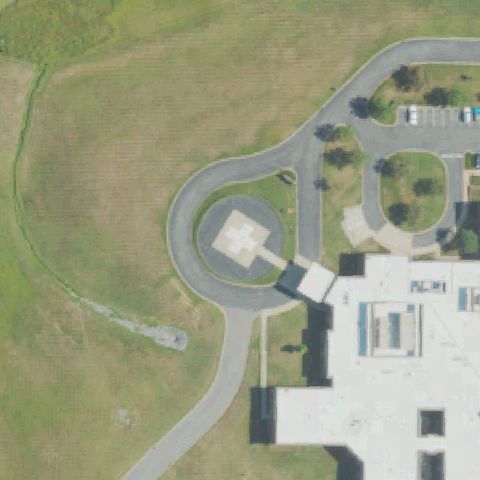
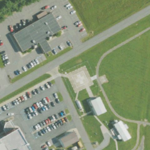
Square pad with cross marking in circular drive near image center.
✓ Confirmed by AI vision with Claude Opus 4.8
 Confirmed
CAMPBELLSVILLE, KY
37.367666667, -85.336555556
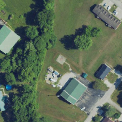
Faint square concrete pad near center, unmarked, beside hospital.
✓ Confirmed by AI vision with Claude Opus 4.8
 Confirmed
CLAY CITY, KY
37.853072222, -83.917452778
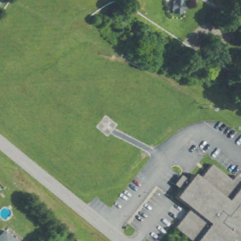
Faint square pad with reddish marking near center beside fire department.
✓ Confirmed by AI vision with Claude Opus 4.8
 Confirmed
COLUMBIA, KY
37.097194444, -85.29535
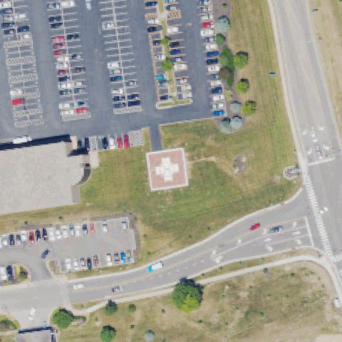
Plain square concrete pad near center with access path, unmarked.
✓ Confirmed by AI vision with Claude Opus 4.8
 Confirmed
EDGEWOOD, KY
39.0135527780001, -84.5601833329999
Square pad with white cross marking near center on hospital grounds.
✓ Confirmed by AI vision with Claude Opus 4.8
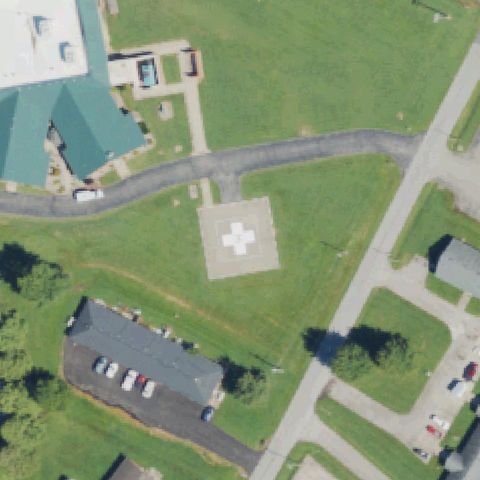 Confirmed
HARDINSBURG, KY
37.7660277780001, -86.439702778
Square pad with white cross marking near image center on grass.
✓ Confirmed by AI vision with Claude Opus 4.8
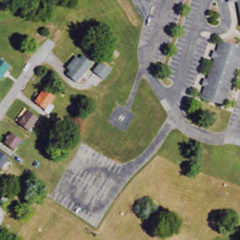 Confirmed
HARRODSBURG, KY
37.755766667, -84.8499555559999
Square pad with faint H marking near image center on grass.
✓ Confirmed by AI vision with Claude Opus 4.8
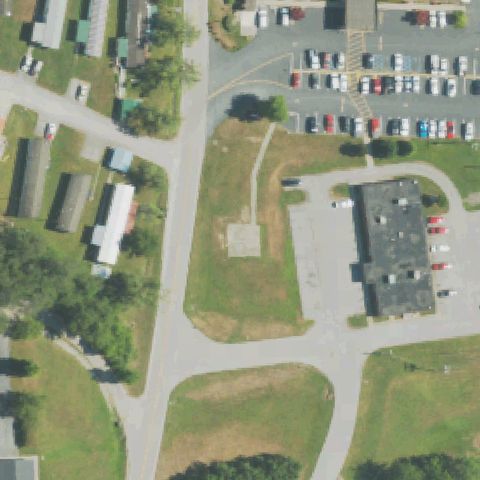 Confirmed
JACKSON, KY
37.5649722220001, -83.3699999999999
Plain square concrete pad near center, unmarked, on grass area.
✓ Confirmed by AI vision with Claude Opus 4.8
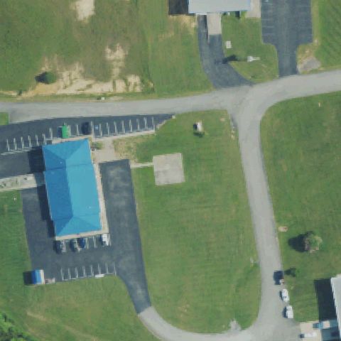 Confirmed
JAMESTOWN, KY
37.0044, -85.0762999999999
Plain square concrete pad near center, unmarked, beside building.
✓ Confirmed by AI vision with Claude Opus 4.8
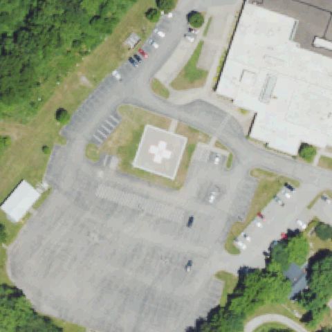 Confirmed
LEBANON, KY
37.5690555560001, -85.262388889
Large square pad with white cross marking near image center beside hospital.
✓ Confirmed by AI vision with Claude Opus 4.8
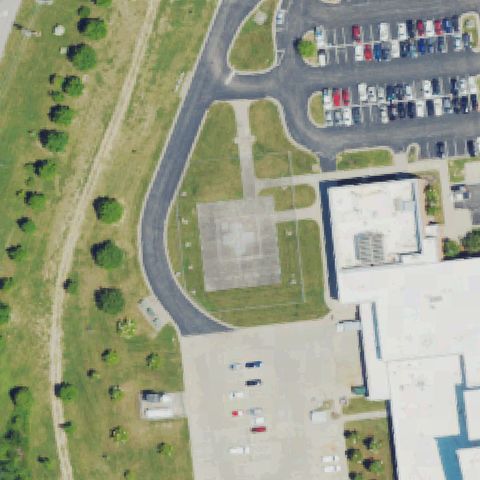 Confirmed
LONDON, KY
37.1179250000001, -84.110336111
Faint square concrete pad with cross marking near center next to hospital.
✓ Confirmed by AI vision with Claude Opus 4.8
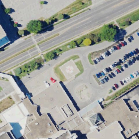 Confirmed
LOUISVILLE, KY
38.238988889, -85.638830556
Square pad with red cross marking at center between road and parking lot.
✓ Confirmed by AI vision with Claude Opus 4.8
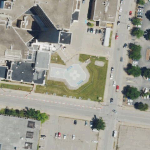 Confirmed
LOUISVILLE, KY
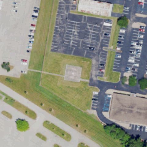
38.2476861110001, -85.743575
Large ground pad with white cross and side markings at image center.
✓ Confirmed by AI vision with Claude Opus 4.8
 Confirmed
LOUISVILLE, KY
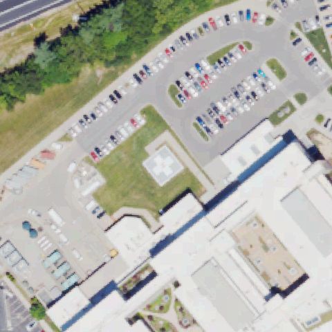
38.1134222220001, -85.842286111
Faint square concrete pad in grass near image center by parking lot.
✓ Confirmed by AI vision with Claude Opus 4.8
 Confirmed
LOUISVILLE, KY
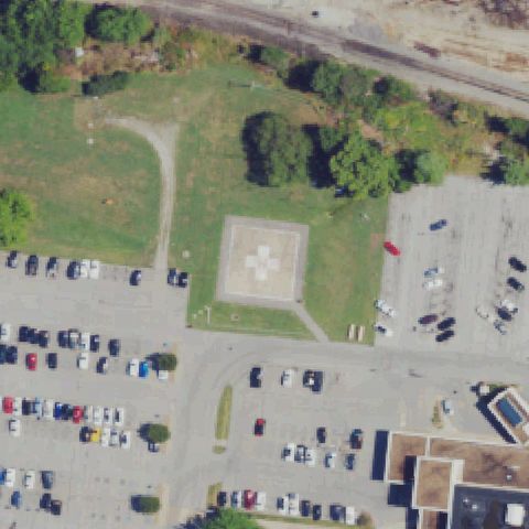
38.3161777780001, -85.576208333
Square pad with white cross marking near center in grass strip by hospital.
✓ Confirmed by AI vision with Claude Opus 4.8
 Confirmed
MADISONVILLE, KY
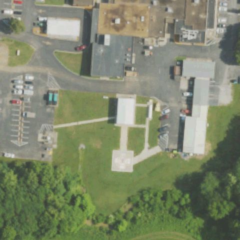
37.341630556, -87.494122222
Square ground pad with white cross marking at image center on grass.
✓ Confirmed by AI vision with Claude Opus 4.8
 Confirmed
MARION, KY
37.3284722220001, -88.09275
Faint plain concrete square pad near center among hospital buildings.
✓ Confirmed by AI vision with Claude Opus 4.8
 Confirmed
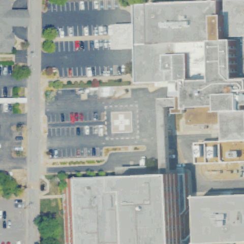
MURRAY, KY
36.607427778, -88.310125
Ground pad with white cross marking near center within hospital lot.
✓ Confirmed by AI vision with Claude Opus 4.8
 Confirmed
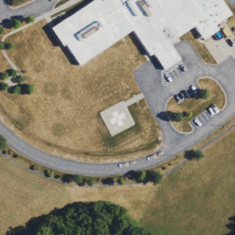
NICHOLASVILLE, KY
37.8992027780001, -84.5776749999999
Square pad with white cross marking at center within circular drive.
✓ Confirmed by AI vision with Claude Opus 4.8
 Confirmed
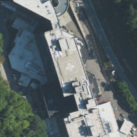
PIKEVILLE, KY
37.4709888890001, -82.522066667
Rooftop pad with white cross marking at image center on hospital roof.
✓ Confirmed by AI vision with Claude Opus 4.8
 Confirmed
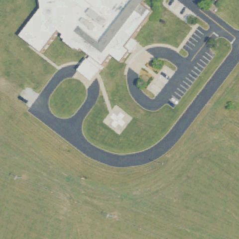
PRINCETON, KY
37.11285, -87.909361111
Square pad with white cross marking at center within circular hospital drive.
✓ Confirmed by AI vision with Claude Opus 4.8
 Confirmed
RICHMOND, KY
37.6763638890001, -84.233083333
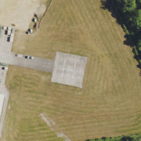
Large concrete pad with painted H marking at image center in open field.
✓ Confirmed by AI vision with Claude Opus 4.8
 Confirmed
TOMPKINSVILLE, KY
36.698113333, -85.676361389
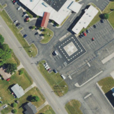
Square pad with white cross and dashed border markings at image center.
✓ Confirmed by AI vision with Claude Opus 4.8
 Confirmed
MAYSVILLE, KY
38.6415138890001, -83.80825
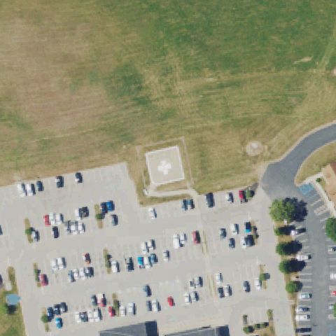
Square pad with white cross marking near center above the parking lot.
✓ Confirmed by AI vision with Claude Opus 4.8
 Confirmed
MONTICELLO, KY
36.8193166670001, -84.867688889
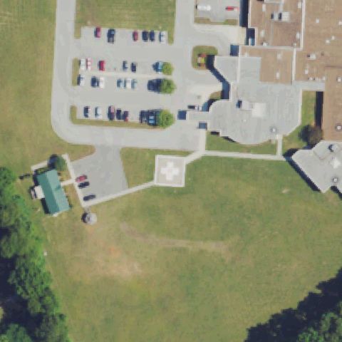
Square pad with white cross marking at center on grass near hospital.
✓ Confirmed by AI vision with Claude Opus 4.8
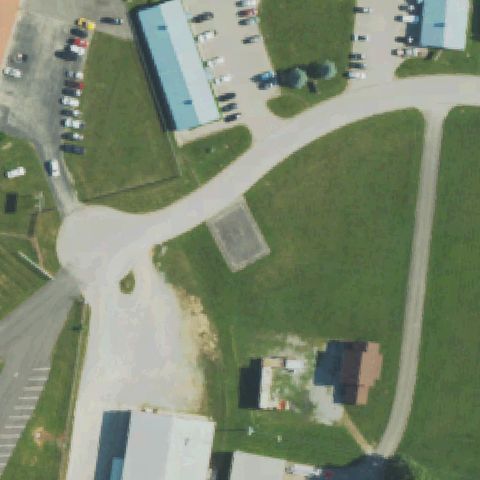 Confirmed
MT STERLING, KY
38.0631388890001, -83.9573194439999
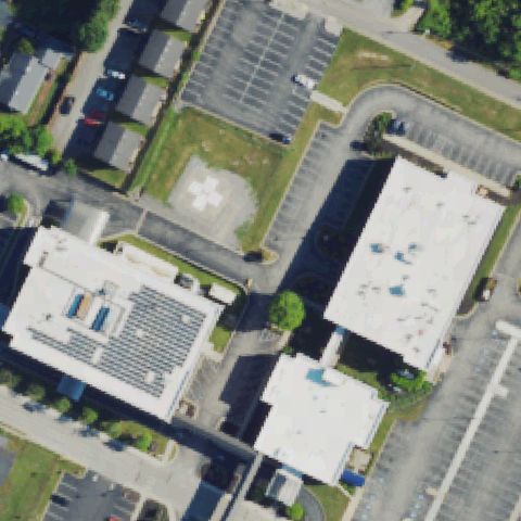
Distinct square prepared asphalt pad in mowed grass at image center beside fire-station access road; markings not discernible.
✓ Confirmed by AI vision with Claude Opus 4.8
 Confirmed
MT VERNON, KY
37.3583333330001, -84.336111111
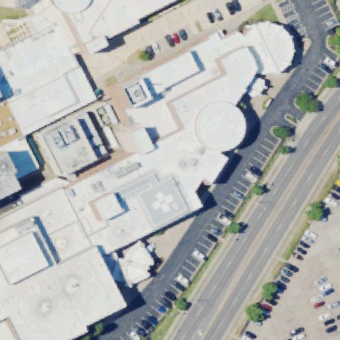
Faint plain concrete square pad near image center in open lawn area.
✓ Confirmed by AI vision with Claude Opus 4.8
 Confirmed
PADUCAH, KY
37.074166667, -88.6258333329999
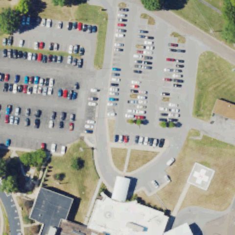
Square pad with white cross marking at center between buildings.
✓ Confirmed by AI vision with Claude Opus 4.8
 Confirmed
PADUCAH, KY
37.0516666670001, -88.646944444
Rooftop pad with white cross marking near image center on hospital roof.
✓ Confirmed by AI vision with Claude Opus 4.8
 Confirmed
SALEM, KY
37.263016667, -88.2276555559999
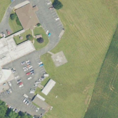
Square pad with white cross marking near center at edge of parking lot.
✓ Confirmed by AI vision with Claude Opus 4.8
 Confirmed
SOUTH WILLIAMSON, KY
37.6766666670001, -82.296388889
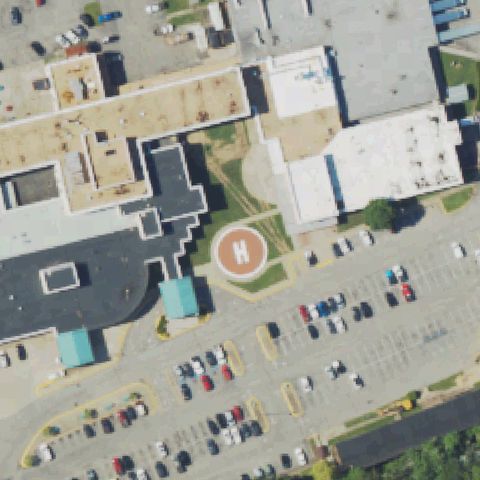
Round pad with red H marking at image center beside hospital.
✓ Confirmed by AI vision with Claude Opus 4.8
 Confirmed
SOMERSET, KY
37.0854444440001, -84.621208333
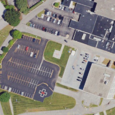
Pad with H near center plus a circle/cross marking in lot lower-left.
✓ Confirmed by AI vision with Claude Opus 4.8
 Confirmed
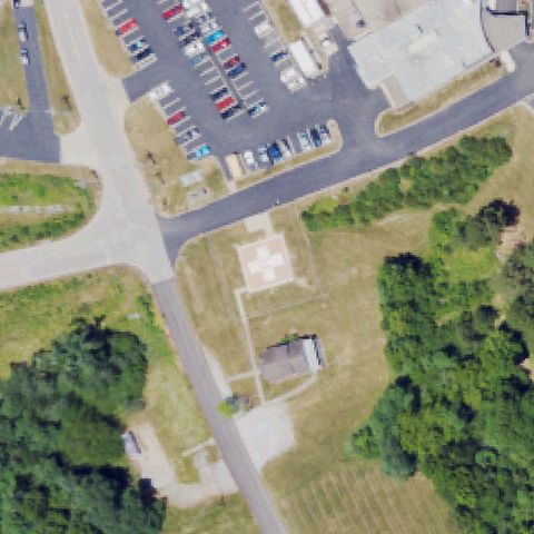
WHITESBURG, KY
37.114175, -82.812733333
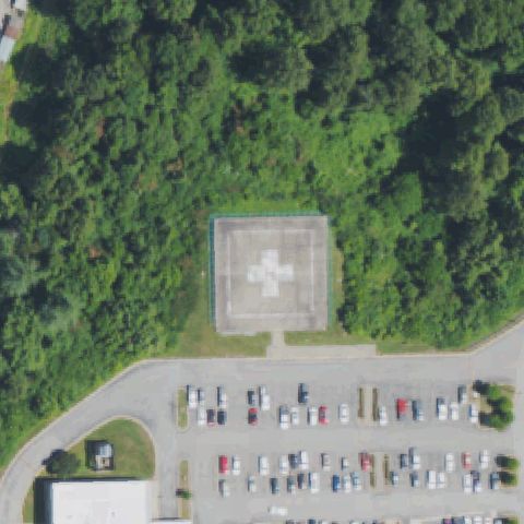
Square pad with white cross marking at center in a wooded clearing.
✓ Confirmed by AI vision with Claude Opus 4.8
 Confirmed
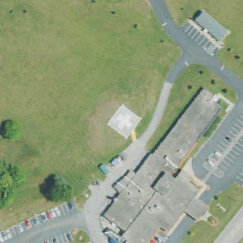
WILLIAMSTOWN, KY
38.6463833330001, -84.5784694439999
Square pad with white cross marking near image center on grass.
✓ Confirmed by AI vision with Claude Opus 4.8
 Confirmed
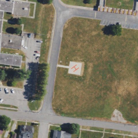
HORSE CAVE, KY
37.1615555560001, -85.9232499999999
White square pad with painted cross marking sits on grass right at the image center near the hospital building.
✓ Confirmed by AI vision with Claude Opus 4.8
 Confirmed
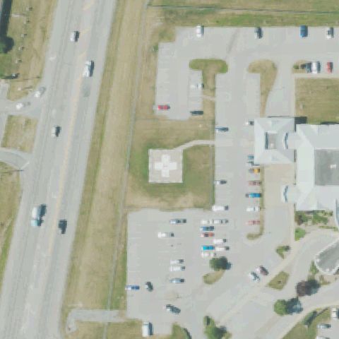
LANCASTER, KY
37.6217222220001, -84.5842499999999
Square pad with red H marking near image center in open field.
✓ Confirmed by AI vision with Claude Opus 4.8
 Confirmed
FLEMINGSBURG, KY
38.4223500000001, -83.752575
Faint square pad with white cross near image center in asphalt lot.
✓ Confirmed by AI vision with Claude Opus 4.8
 Confirmed
HAZARD, KY
37.2784444440001, -83.229097222
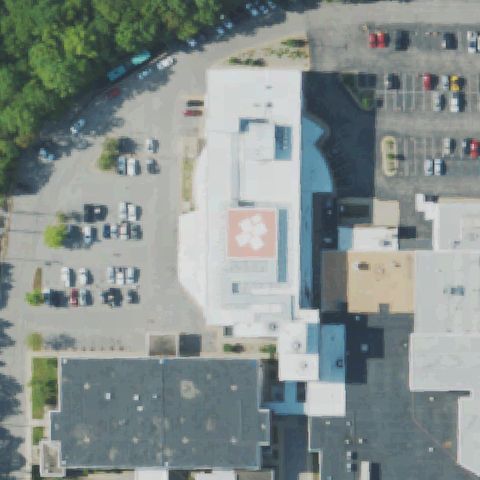
Rooftop pad with white cross marking near image center on building roof.
✓ Confirmed by AI vision with Claude Opus 4.8
 Confirmed
PRESTONSBURG, KY
37.728097222, -82.770080556
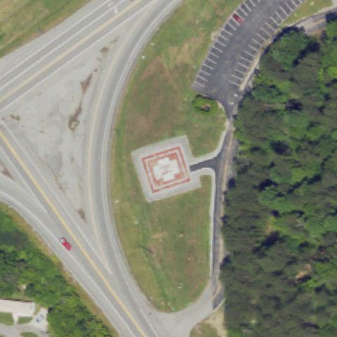
Square pad with red border and white H marking at image center.
✓ Confirmed by AI vision with Claude Opus 4.8
 Confirmed
MOREHEAD, KY
38.1814416670001, -83.4433194439999
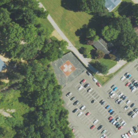
Pad with white cross marking near image center beside parking lot.
✓ Confirmed by AI vision with Claude Opus 4.8
 Confirmed
MORGANFIELD, KY
37.6283333330001, -87.9469999999999
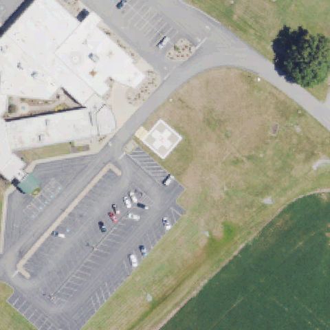
Square pad with white cross marking near image center by hospital lot.
✓ Confirmed by AI vision with Claude Opus 4.8
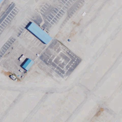 Confirmed
SPARTA, KY
38.7098888890001, -84.9151666669999
Large square pad with faint H marking at image center on bare ground.
✓ Confirmed by AI vision with Claude Opus 4.8
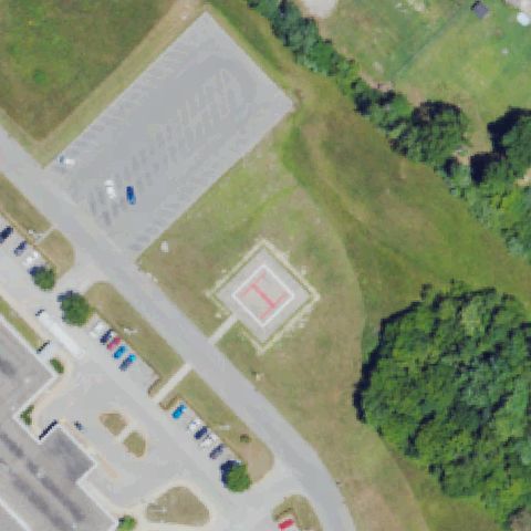 Confirmed
BARBOURVILLE, KY
36.8516666670001, -83.8691666669999
Square pad with red H marking near image center in grass by parking.
✓ Confirmed by AI vision with Claude Opus 4.8
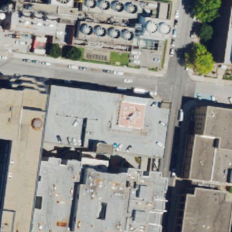 Confirmed
LOUISVILLE, KY
38.248961111, -85.749477778
Rooftop pad with red cross and H marking at image center.
✓ Confirmed by AI vision with Claude Opus 4.8
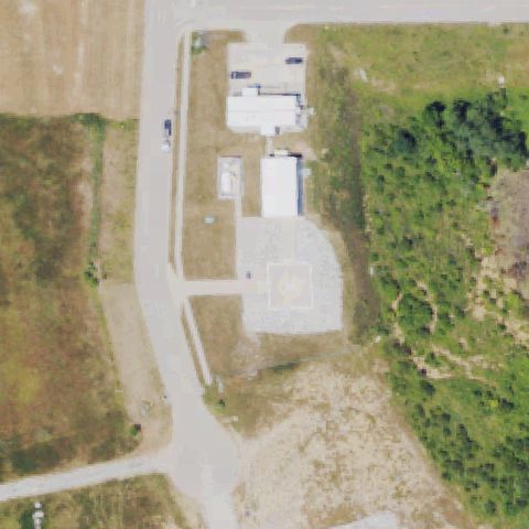 Confirmed
WILLIAMSTOWN, KY
38.645555556, -84.5823055559999
Gravel/concrete pad with faint circular marking near image center.
✓ Confirmed by AI vision with Claude Opus 4.8
 Confirmed
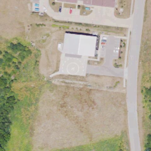
WALTON, KY
38.8529722220001, -84.6165833329999
Painted H inside a dashed touchdown circle on a concrete pad near image center.
✓ Confirmed by AI vision with Claude Opus 4.8
 Confirmed
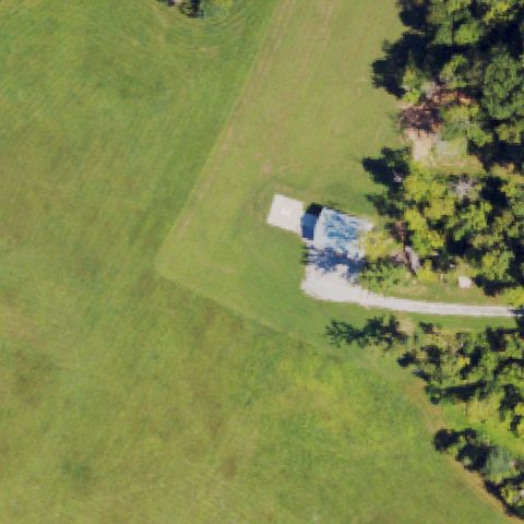
CALIFORNIA, KY
38.9411000000001, -84.3054
Small faint white H pad on a structure roof near center, partly obscured by trees.
✓ Confirmed by AI vision with Claude Opus 4.8
 Confirmed
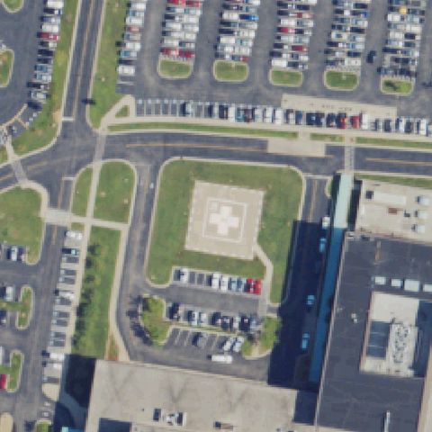
OWENSBORO, KY
37.7803277780001, -87.064038889
White medical cross marking on a square concrete pad centered in the image.
✓ Confirmed by AI vision with Claude Opus 4.8
 Confirmed
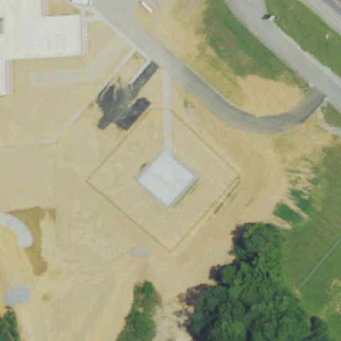
GREENSBURG, KY
37.2673055560001, -85.4929
Square concrete prepared pad centered in a graded area, no clear markings, likely new construction.
✓ Confirmed by AI vision with Claude Opus 4.8