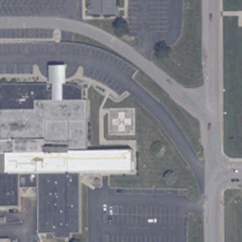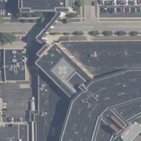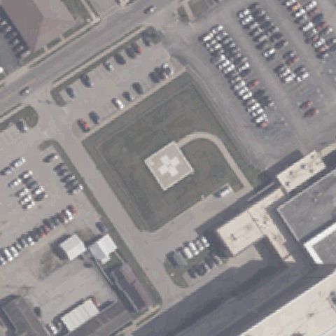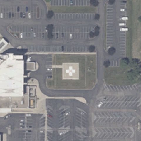
FAA record × aerial reality

Indiana: where the heliport map and the ground disagree.

112
facilities checked
51
flagged for review
-
visitors

Data: FAA Airports (ArcGIS open layer)  |  Imagery: USGS NAIP (public domain)  |  AI vision: Claude Opus 4.8  |  built 2026-07-05

This is a prioritized review queue, not a list of findings.

A flag means a pad could not be confirmed from current imagery - never that a heliport is missing, fake, or mislocated. Help us check: vote on each one below.

Verdicts
35 Not visible14 Off-center2 Uncertain61 Confirmed
Facilities — worst-first
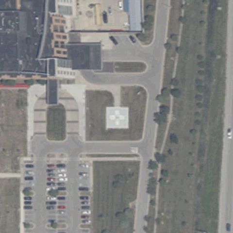
Aerial tile for 2IG6Not visible

2IG6 Indiana University Health Bloomington

BLOOMINGTON, IN

39.1605555560001, -86.541388889

Center is a paved plaza and lots with no helicopter landing marking.

70% confidence Verify on the map →
Is there really a pad here?
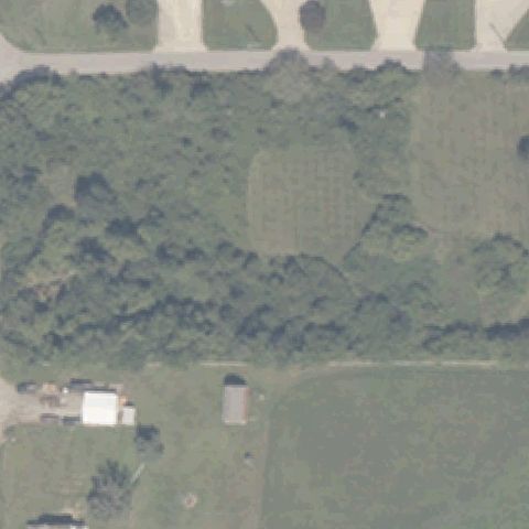
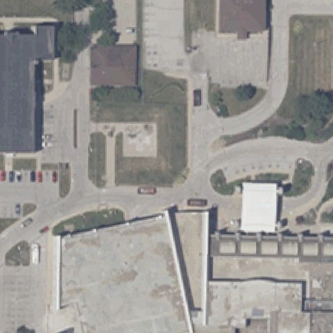
Aerial tile for IN66Not visible

IN66 Clear Lake

CLEAR LAKE, IN

41.7333333330001, -84.858888889

Center is dense forest and brush with no pad present.

90% confidence Verify on the map →
Is there really a pad here?
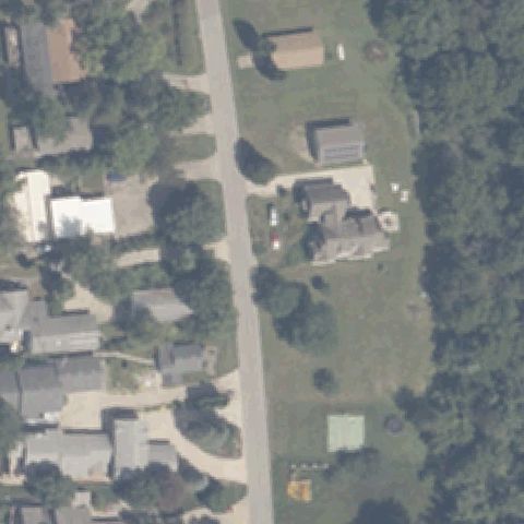
Aerial tile for 4IN3Not visible

4IN3 East Clear

CLEAR LAKE, IN

41.7350000000001, -84.822777778

Residential lots and yards with no visible helipad.

85% confidence Verify on the map →
Is there really a pad here?
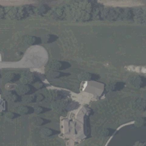
Aerial tile for 4IN6Not visible

4IN6 Dragons Den

DANVILLLE, IN

39.7455555560001, -86.644444444

Wooded residential property with a paved cul-de-sac but no helipad marking at center.

70% confidence Verify on the map →
Is there really a pad here?
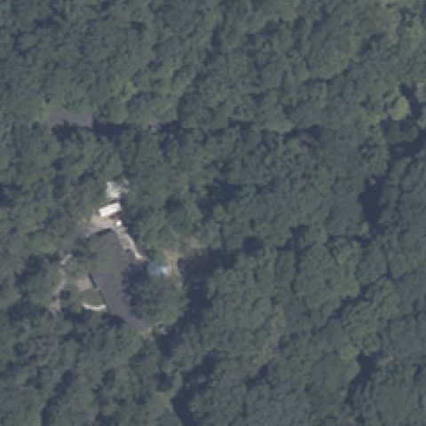
Aerial tile for 91INot visible

91I Fort Benjamin Harrison Helipad

FORT BENJAMIN HARRISON, IN

39.8833725000001, -86.01665

Dense forest with a small residence near center and no pad.

85% confidence Verify on the map →
Is there really a pad here?
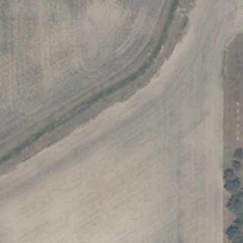
Aerial tile for 65INNot visible

65IN Wells County Sheriff's Dept

BLUFFTON, IN

40.7339355560001, -85.196081389

Blurry bare dirt/agricultural field with no discernible pad.

70% confidence Verify on the map →
Is there really a pad here?
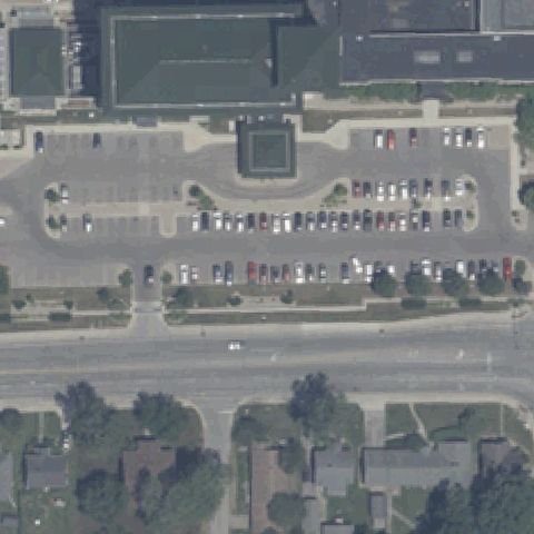
Aerial tile for 2IN7Not visible

2IN7 Columbus Rgnl Hospital

COLUMBUS, IN

39.216127778, -85.895475

Center is a parking lot with a landscaped square and no helipad marking.

80% confidence Verify on the map →
Is there really a pad here?
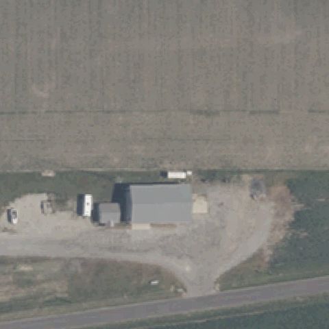
Aerial tile for 2II9Not visible

2II9 Rice Private

COVINGTON, IN

40.152815833, -87.3080666669999

Rural farm building and gravel yard with no pad marking.

85% confidence Verify on the map →
Is there really a pad here?
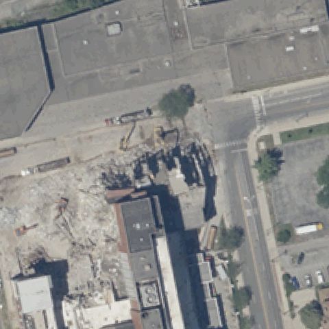
Aerial tile for 13IINot visible

13II St Joseph Medical Center

FORT WAYNE, IN

41.0787388890001, -85.1491833329999

Active demolition/construction site at center with no pad.

85% confidence Verify on the map →
Is there really a pad here?
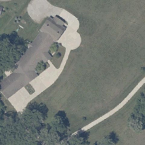
Aerial tile for 1IN8Not visible

1IN8 Adderly's Pad

FORT WAYNE, IN

41.1074166670001, -85.218111111

Residence with a paved circular driveway but no helipad marking.

80% confidence Verify on the map →
Is there really a pad here?
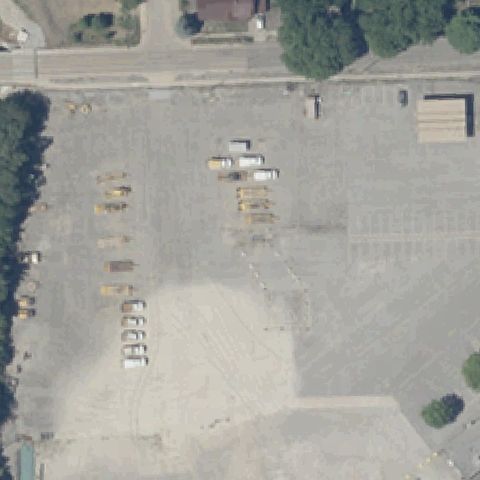
Aerial tile for 5II7Not visible

5II7 Fort Wayne-District Operations

FORT WAYNE, IN

41.0644444440001, -85.16

Gravel storage lot with vehicles and no pad marking.

80% confidence Verify on the map →
Is there really a pad here?
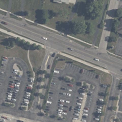
Aerial tile for 55IINot visible

55II Johnson Meml Hospital

FRANKLIN, IN

39.4809194440001, -86.078288889

Road intersection and parking lots with no helipad marking.

80% confidence Verify on the map →
Is there really a pad here?
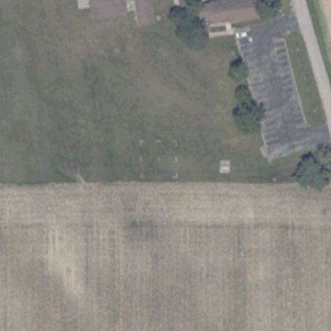
Aerial tile for II9Not visible

II9 Wilbur Wright Birthplace

HAGERSTOWN, IN

39.954219444, -85.243561111

Open field with a faint square outline but no helipad marking at center.

70% confidence Verify on the map →
Is there really a pad here?
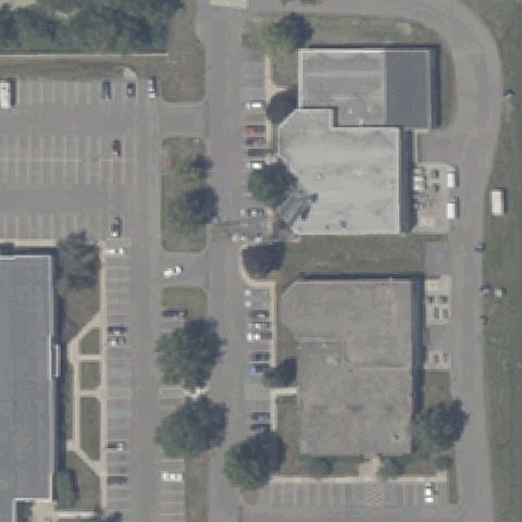
Aerial tile for 4II5Not visible

4II5 Escc

HAMMOND, IN

41.594166667, -87.4913888889999

Office park buildings and parking with no pad.

80% confidence Verify on the map →
Is there really a pad here?
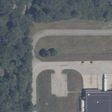
Aerial tile for 27IINot visible

27II Fort Benjamin Harrison Hospital

INDIANAPOLIS, IN

39.865039444, -85.9977605559999

Paved area with a curved drive but no helipad marking at center.

75% confidence Verify on the map →
Is there really a pad here?

Aerial tile for IG01Not visible

IG01 Iwc

INDIANAPOLIS, IN

39.783652778, -87.1836

Center is dense forest canopy with no pad.

92% confidence Verify on the map →
Is there really a pad here?
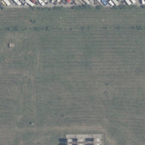
Aerial tile for 8II7Not visible

8II7 Rolls-Royce Plant 8

INDIANAPOLIS, IN

39.7403861110001, -86.209227778

Open grass field with no pad at center.

80% confidence Verify on the map →
Is there really a pad here?

Aerial tile for IG06Not visible

IG06 Wolfelt

LAFAYETTE, IN

40.4880555560001, -86.851944444

Plowed agricultural field meeting a tree line, no pad at center.

85% confidence Verify on the map →
Is there really a pad here?
Aerial tile for 15IINot visible

15II Findlay

LAFAYETTE, IN

40.338888889, -86.9408333329999

Blurry open field/farmland with no pad visible at center.

80% confidence Verify on the map →
Is there really a pad here?
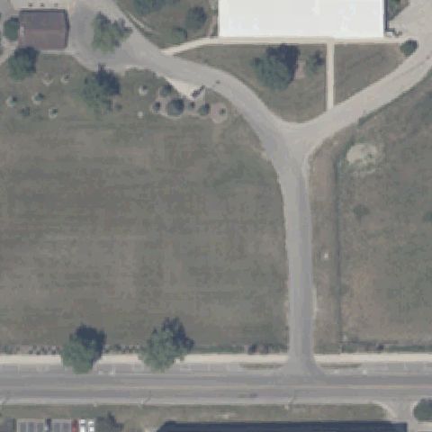
Aerial tile for IN74Not visible

IN74 Ball Meml Hospital

MUNCIE, IN

40.1980833330001, -85.416975

Center is open grass field and a driveway with no visible pad or markings.

80% confidence Verify on the map →
Is there really a pad here?
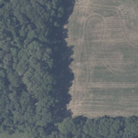
Aerial tile for IN22Not visible

IN22 Berling

MOORESVILLE, IN

39.6036575000001, -86.441661944

Center is woods and an open agricultural field with no pad.

85% confidence Verify on the map →
Is there really a pad here?
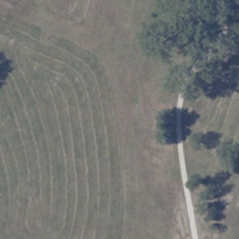
Aerial tile for 5II4Not visible

5II4 Hopkins

MOORESVILLE, IN

39.589491111, -86.390549167

Center is a mowed/cropped field with no prepared pad or markings.

85% confidence Verify on the map →
Is there really a pad here?
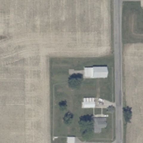
Aerial tile for 2II7Not visible

2II7 K-9 Korner

OSSIAN, IN

40.8927166670001, -85.204702778

Center shows a rural farmstead with buildings and lawn, no pad.

85% confidence Verify on the map →
Is there really a pad here?
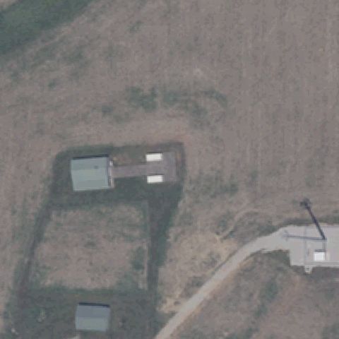
Aerial tile for 33INNot visible

33IN Rusby Fld

PALMYRA, IN

38.4431916670001, -86.0577638889999

Center is bare ground with small structures, no helipad markings.

75% confidence Verify on the map →
Is there really a pad here?
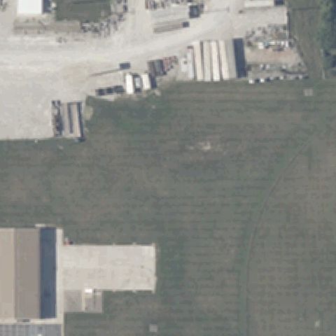
Aerial tile for 2II4Not visible

2II4 Duke

PLAINFIELD, IN

39.7111563890001, -86.385549167

Center is open grass beside an industrial yard with no pad.

80% confidence Verify on the map →
Is there really a pad here?
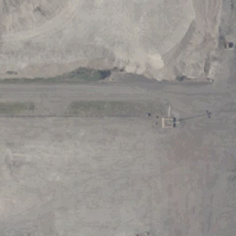
Aerial tile for 2II5Not visible

2II5 Burns Intl Harbor

PORTAGE, IN

41.636981389, -87.152256944

Center is a sand/dredge stockpile area with no helipad markings.

80% confidence Verify on the map →
Is there really a pad here?
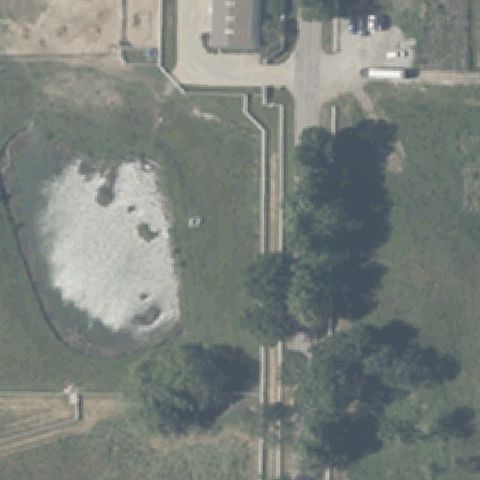
Aerial tile for II92Not visible

II92 Layden

ROLLING PRAIRIE, IN

41.7417108330001, -86.583631667

Center has a pond and grass field with no prepared pad.

85% confidence Verify on the map →
Is there really a pad here?
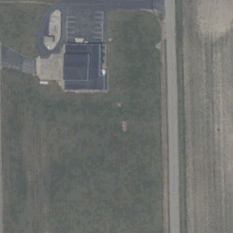
Aerial tile for 3II7Not visible

3II7 Army Aviation Support Facility

SHELBYVILLE, IN

39.583380278, -85.799979444

Center shows a small building and grass field with no visible pad.

70% confidence Verify on the map →
Is there really a pad here?
Aerial tile for 62IINot visible

62II Parkview Wabash Hospital Emergency

WABASH, IN

40.806154167, -85.8158186109999

Center is an open grass lot with faint outlines but no helipad pad.

80% confidence Verify on the map →
Is there really a pad here?
Aerial tile for 5IN7Not visible

5IN7 Marion General Hospital

MARION, IN

40.5646100000001, -85.6654965279999

Image center shows a building corner, road and parking lots with no helicopter pad marking.

70% confidence Verify on the map →
Is there really a pad here?
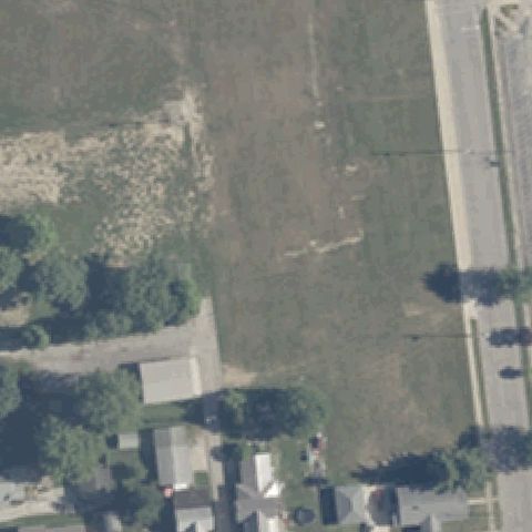
Aerial tile for IN13Not visible

IN13 Bianchi

CEDAR LAKE, IN

41.3844888890001, -87.433566667

Center shows residential houses and a waterfront with boat docks, no pad.

85% confidence Verify on the map →
Is there really a pad here?
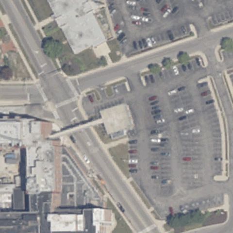
Aerial tile for 08INNot visible

08IN Marion Health

GAS CITY, IN

40.483508333, -85.5423888889999

Center is a bare graded construction/dirt site with no pad; imagery likely predates construction.

75% confidence Verify on the map →
Is there really a pad here?
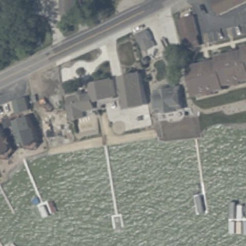
Aerial tile for IN19Not visible

IN19 Franciscan Health Crown Point Hospital

CROWN POINT, IN

41.388888889, -87.321666667

Center is a cleared bare dirt lot with no visible pad markings.

75% confidence Verify on the map →
Is there really a pad here?
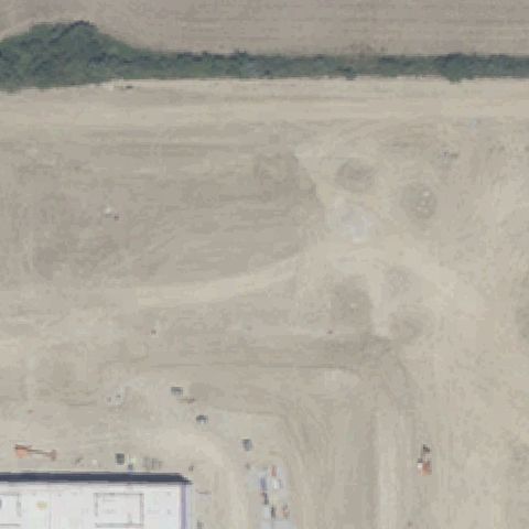
Aerial tile for 5IN5Not visible

5IN5 Reid Helistop

CONNERSVILLE, IN

39.6659666670001, -85.1268916669999

Center shows open farmland and fields with no helicopter pad.

70% confidence Verify on the map →
Is there really a pad here?
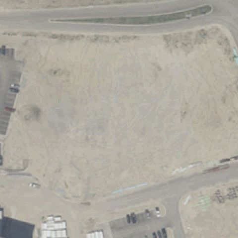
Aerial tile for IN61Not visible

IN61 Iu Med Center

INDIANAPOLIS, IN

39.786894444, -86.1625083329999

Center is an active construction/dirt site with no pad; imagery likely predates the facility.

72% confidence Verify on the map →
Is there really a pad here?
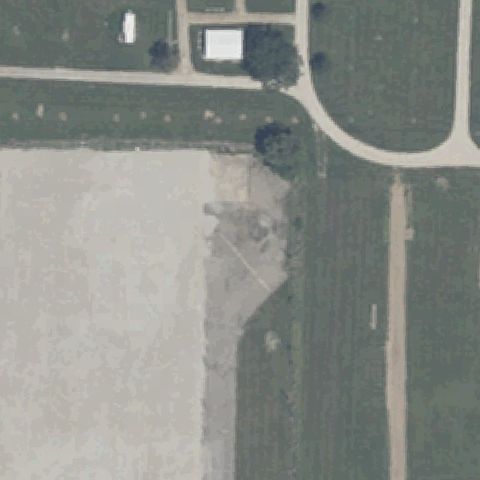
Aerial tile for 16INOff-center

16IN Deaconess Hospital

EVANSVILLE, IN

37.9841277780001, -87.5719583329999

Two square pads with cross markings present but sitting just below-left of center.

85% confidence Verify on the map →
Is there really a pad here?
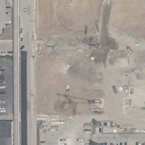
Aerial tile for 54INOff-center

54IN Methodist Hospital Nr 2

INDIANAPOLIS, IN

39.7893750000001, -86.162222222

Two rooftop pads with red cross markings just left of center.

85% confidence Verify on the map →
Is there really a pad here?
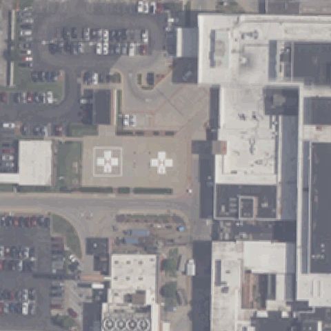
Aerial tile for II57Off-center

II57 Nipsco Southlake Complex

MERRILLVILLE, IN

41.463369722, -87.3236466669999

Small circular prepared pad sits left of center, not at the claimed coordinate.

70% confidence Verify on the map →
Is there really a pad here?
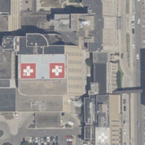
Aerial tile for 60INOff-center

60IN Eskenazi Hospital

INDIANAPOLIS, IN

39.77795, -86.1848027779999

Red rooftop pad with white cross sits below-right of center on a hospital roof.

80% confidence Verify on the map →
Is there really a pad here?
Aerial tile for 23INOff-center

23IN Riley Hospital For Children

INDIANAPOLIS, IN

39.7773559720001, -86.180459917

Rooftop pad with white cross appears in the upper-right, not at center.

70% confidence Verify on the map →
Is there really a pad here?
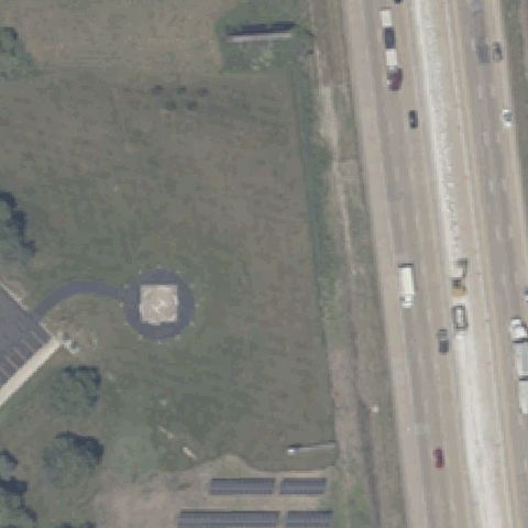
Aerial tile for 27INOff-center

27IN St Vincent Indianapolis Hospital

INDIANAPOLIS, IN

39.9077572780001, -86.194364833

Faint red cross rooftop marking is left of center on the hospital roof.

65% confidence Verify on the map →
Is there really a pad here?
Aerial tile for 8A4Off-center

8A4 Indianapolis Downtown

INDIANAPOLIS, IN

39.765876389, -86.148875

Round pad with painted H is right of center, off the claimed coordinate.

85% confidence Verify on the map →
Is there really a pad here?
Aerial tile for IN94Off-center

IN94 Dearborn County Hospital

LAWRENCEBURG, IN

39.11105, -84.884172222

Faint rooftop cross pad is upper-right of center, not centered.

70% confidence Verify on the map →
Is there really a pad here?
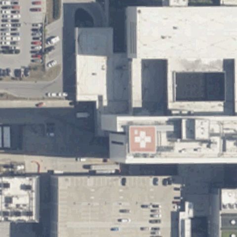
Aerial tile for 79INOff-center

79IN Meml Hospital At South Bend

SOUTH BEND, IN

41.683986111, -86.253436111

Rooftop pad with white cross is upper-left of center, not centered.

70% confidence Verify on the map →
Is there really a pad here?
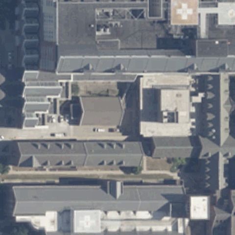
Aerial tile for IN68Off-center

IN68 Reid Hospital

RICHMOND, IN

39.864302222, -84.882886667

Rooftop pad with red H sits left of center on the hospital roof.

75% confidence Verify on the map →
Is there really a pad here?
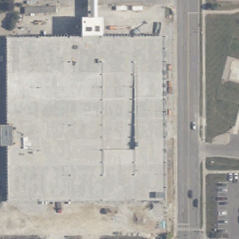
Aerial tile for 14INOff-center

14IN Elkhart General Hospital

ELKHART, IN

41.679396389, -85.9938359719999

Rooftop pad with white cross sits left of center on the hospital roof.

70% confidence Verify on the map →
Is there really a pad here?
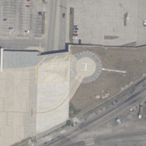
Aerial tile for IN95Off-center

IN95 Gateway Hospital

NEWBURGH, IN

37.9745694440001, -87.446158333

A rooftop square pad with a marking is visible just left of center on the hospital roof.

80% confidence Verify on the map →
Is there really a pad here?
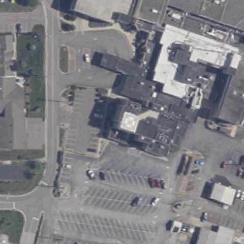
Aerial tile for 98INOff-center

98IN La Porte Hospital

LA PORTE, IN

41.609791667, -86.728041667

A red cross rooftop helipad marking sits right of the image center on the hospital roof.

78% confidence Verify on the map →
Is there really a pad here?
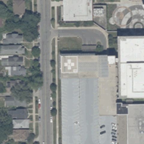
Aerial tile for 28INOff-center

28IN Freedom

FORT WAYNE, IN

41.109780556, -85.222138889

A square pad with a clear H marking is visible just right of center beside the building.

85% confidence Verify on the map →
Is there really a pad here?
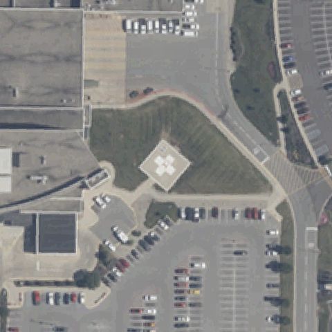
Aerial tile for 9IN5Uncertain

9IN5 Dupont Hospital

FORT WAYNE, IN

41.1744444440001, -85.107777778

A faint light square slab sits near center but shows no helipad marking.

55% confidence Verify on the map →
Is there really a pad here?
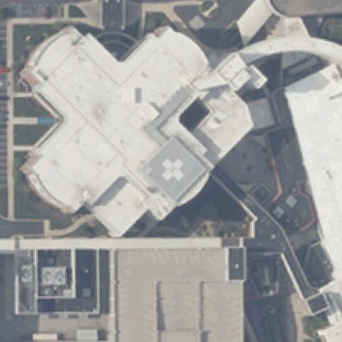
Aerial tile for 80INUncertain

80IN Parkview Huntington Hospital

HUNTINGTON, IN

40.9056944440001, -85.490055556

Center is a bare circular dirt/gravel area with no visible markings.

60% confidence Verify on the map →
Is there really a pad here?
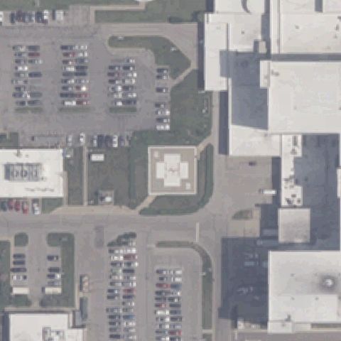
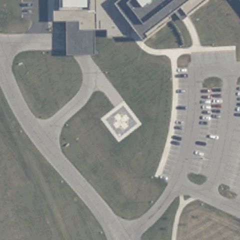
Aerial tile for 01INConfirmed

01IN Community Hospital

ANDERSON, IN

40.1331527780001, -85.694422222

White square touchdown pad with red cross marking at image center.

✓ Confirmed by AI vision with Claude Opus 4.8

95% confidence Verify on the map →
Is there really a pad here?
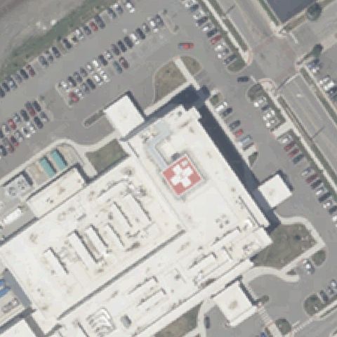
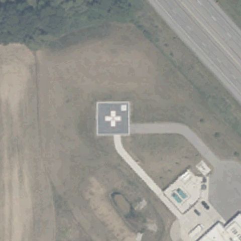
Aerial tile for IG00Confirmed

IG00 Cameron Hospital

ANGOLA, IN

41.6339472220001, -84.9938999999999

White circular pad with cross marking at center of the drive.

✓ Confirmed by AI vision with Claude Opus 4.8

90% confidence Verify on the map →
Is there really a pad here?
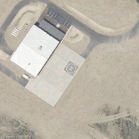
Aerial tile for 57INConfirmed

57IN Iu Health Bedford Hospital

BEDFORD, IN

38.858155556, -86.512655556

Prepared light square surface ringed by perimeter dots near center but no clear H or cross visible.

✓ Confirmed by AI vision with Claude Opus 4.8

50% confidence Verify on the map →
Is there really a pad here?
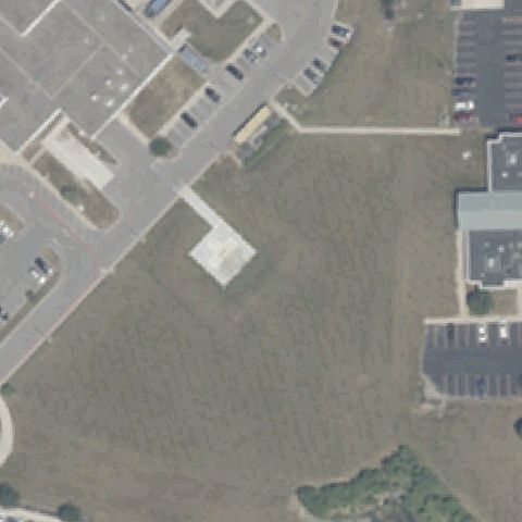
Aerial tile for 8IN8Confirmed

8IN8 Community Hospital of Bremen

BREMEN, IN

41.4568583330001, -86.1583555559999

White square pad with cross marking beside the hospital near center.

✓ Confirmed by AI vision with Claude Opus 4.8

90% confidence Verify on the map →
Is there really a pad here?
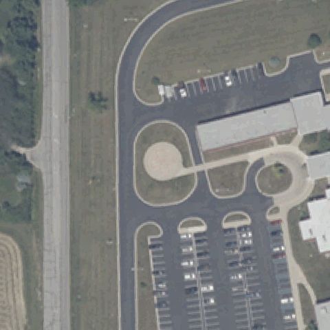
Aerial tile for 2II8Confirmed

2II8 Union Hospital Clinton

CLINTON, IN

39.652633333, -87.397852778

White square pad with cross marking on the hospital grounds near center.

✓ Confirmed by AI vision with Claude Opus 4.8

85% confidence Verify on the map →
Is there really a pad here?
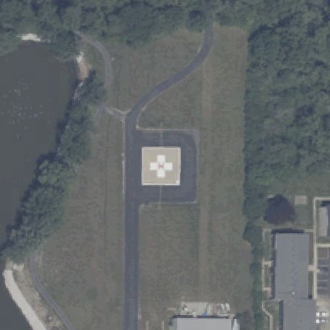
Aerial tile for 74IIConfirmed

74II Hendricks Community Hospital

DANVILLE, IN

39.7637500000001, -86.501175

Two white square pads with cross markings at center of the lot.

✓ Confirmed by AI vision with Claude Opus 4.8

92% confidence Verify on the map →
Is there really a pad here?
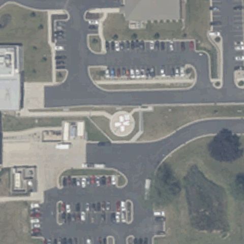
Aerial tile for 56IIConfirmed

56II Adams County Meml Hospital

DECATUR, IN

40.815577778, -84.913708333

Circular pad with white cross marking at center beside the hospital.

✓ Confirmed by AI vision with Claude Opus 4.8

90% confidence Verify on the map →
Is there really a pad here?
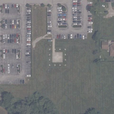
Aerial tile for 1II6Confirmed

1II6 St Mary's Medical Center

EVANSVILLE, IN

37.964391667, -87.5026861109999

Two square pads with red cross markings at center of the lot.

✓ Confirmed by AI vision with Claude Opus 4.8

92% confidence Verify on the map →
Is there really a pad here?
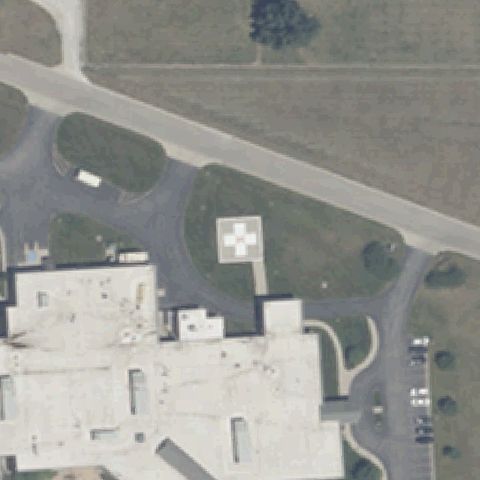
Aerial tile for 1II7Confirmed

1II7 Parkview Meml Hospital

FORT WAYNE, IN

41.0965358330001, -85.110623472

Rooftop pad with white cross marking near image center.

✓ Confirmed by AI vision with Claude Opus 4.8

85% confidence Verify on the map →
Is there really a pad here?
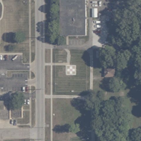
Aerial tile for IN79Confirmed

IN79 Methodist Hospital Northlake

GARY, IN

41.598825, -87.358591667

Square pad with painted H plus an adjacent circular pad at center.

✓ Confirmed by AI vision with Claude Opus 4.8

85% confidence Verify on the map →
Is there really a pad here?
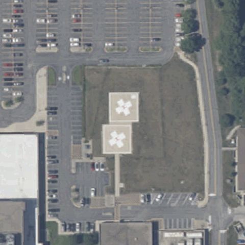
Aerial tile for 9II7Confirmed

9II7 Parkview Dekalb Hospital

AUBURN, IN

41.3696944440001, -85.035186111

White square pad with cross marking at center of the grounds.

✓ Confirmed by AI vision with Claude Opus 4.8

90% confidence Verify on the map →
Is there really a pad here?
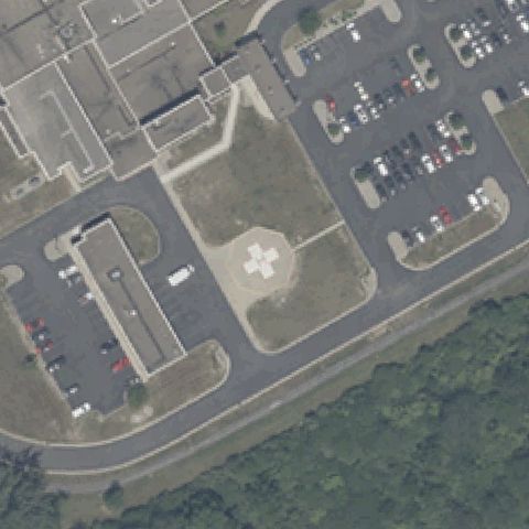
Aerial tile for 5IN1Confirmed

5IN1 Indiana University Health West Hospital

AVON, IN

39.780994444, -86.3396222219999

Square pad with white cross marking on the lawn near center.

✓ Confirmed by AI vision with Claude Opus 4.8

85% confidence Verify on the map →
Is there really a pad here?
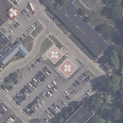
Aerial tile for IN48Confirmed

IN48 St Vincent Clay Hospital

BRAZIL, IN

39.527777778, -87.111666667

Square pad with white cross marking near center of the grounds.

✓ Confirmed by AI vision with Claude Opus 4.8

88% confidence Verify on the map →
Is there really a pad here?
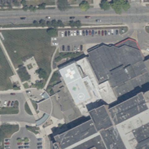
Aerial tile for 7II2Confirmed

7II2 Franciscan Alliance Inc.

CRAWFORDSVILLE, IN

40.0658250000001, -86.90455

White square pad with cross marking ringed by perimeter lights at center.

✓ Confirmed by AI vision with Claude Opus 4.8

90% confidence Verify on the map →
Is there really a pad here?
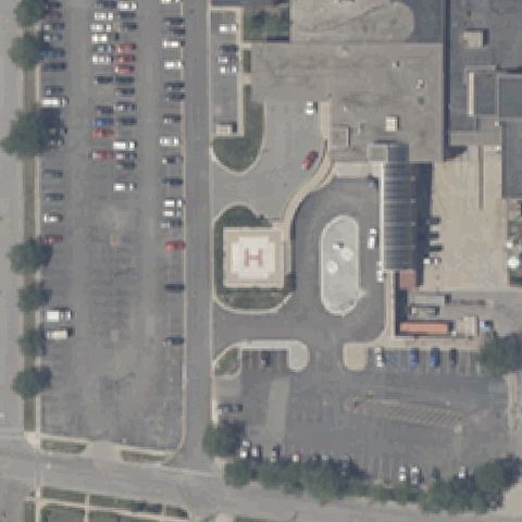
Aerial tile for 72IIConfirmed

72II Franciscan Health Dyer

DYER, IN

41.4933333330001, -87.523611111

Rooftop pad with white cross marking at center.

✓ Confirmed by AI vision with Claude Opus 4.8

85% confidence Verify on the map →
Is there really a pad here?
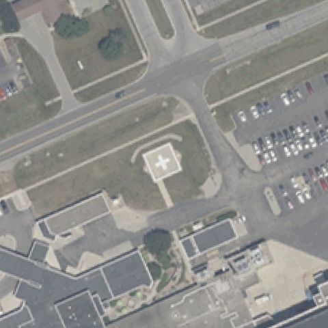
Aerial tile for 64IIConfirmed

64II The Lutheran Hosp of Indiana

FORT WAYNE, IN

41.039580556, -85.248225

Two square pads with cross markings just above center.

✓ Confirmed by AI vision with Claude Opus 4.8

88% confidence Verify on the map →
Is there really a pad here?
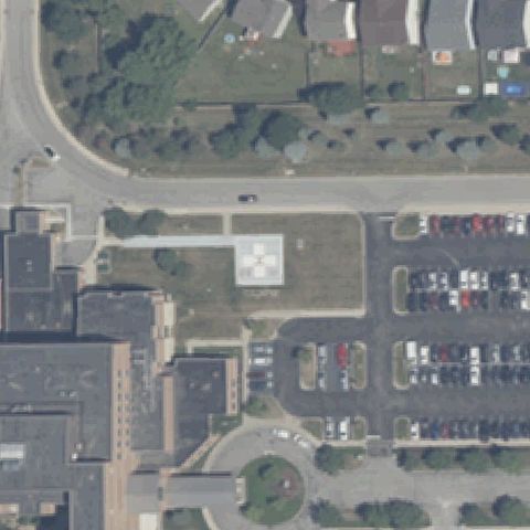
Aerial tile for IN97Confirmed

IN97 Parkview Rgnl Medical Center

FORT WAYNE, IN

41.187034167, -85.1009454169999

Rooftop pad with white cross marking near center.

✓ Confirmed by AI vision with Claude Opus 4.8

85% confidence Verify on the map →
Is there really a pad here?
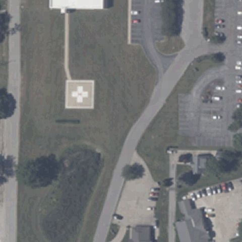
Aerial tile for 8IN4Confirmed

8IN4 Hancock Regional Hospital

GREENFIELD, IN

39.7956222220001, -85.7672638889999

Faint light rooftop pad with a possible cross marking near center.

✓ Confirmed by AI vision with Claude Opus 4.8

50% confidence Verify on the map →
Is there really a pad here?
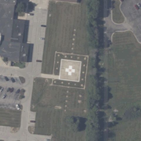
Aerial tile for 6II5Confirmed

6II5 Southport

INDIANAPOLIS, IN

39.669025, -86.095783333

Painted white H on a paved area at center.

✓ Confirmed by AI vision with Claude Opus 4.8

80% confidence Verify on the map →
Is there really a pad here?
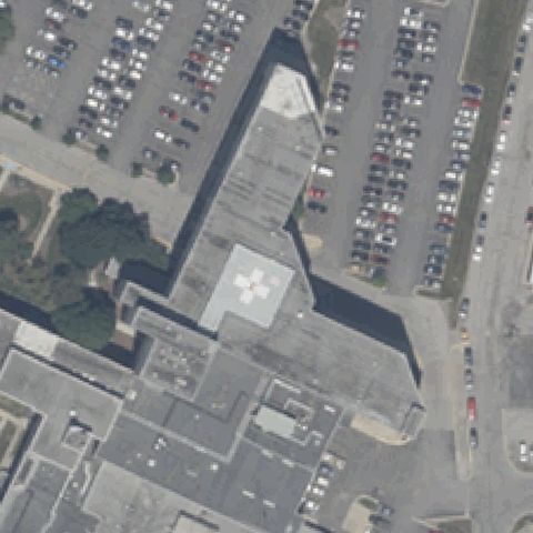
Aerial tile for 81IIConfirmed

81II Methodist Hospital of In Inc

INDIANAPOLIS, IN

39.789383333, -86.162475

Two square pads with red cross markings on the rooftop at center.

✓ Confirmed by AI vision with Claude Opus 4.8

92% confidence Verify on the map →
Is there really a pad here?
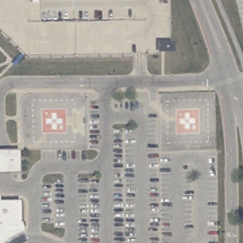
Aerial tile for 8II6Confirmed

8II6 Rolls Royce Plant 5

INDIANAPOLIS, IN

39.7321916670001, -86.2067777779999

Two circular pads with painted H markings at center.

✓ Confirmed by AI vision with Claude Opus 4.8

92% confidence Verify on the map →
Is there really a pad here?
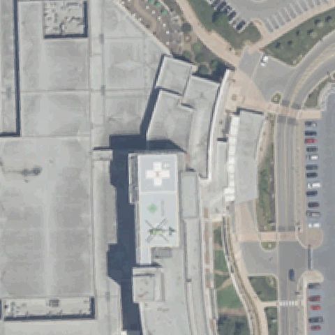
Aerial tile for IN06Confirmed

IN06 Methodist Hospital Helistop

INDIANAPOLIS, IN

39.788775, -86.161761111

Rooftop pad with white cross and a helicopter visible near center.

✓ Confirmed by AI vision with Claude Opus 4.8

85% confidence Verify on the map →
Is there really a pad here?
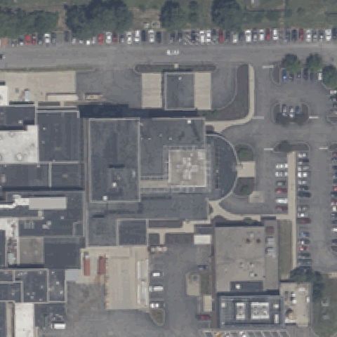
Aerial tile for 48INConfirmed

48IN 123 ARCOM

INDIANAPOLIS, IN

39.8589286110001, -85.9983158329999

Square pad with white cross marking near center of the grounds.

✓ Confirmed by AI vision with Claude Opus 4.8

80% confidence Verify on the map →
Is there really a pad here?
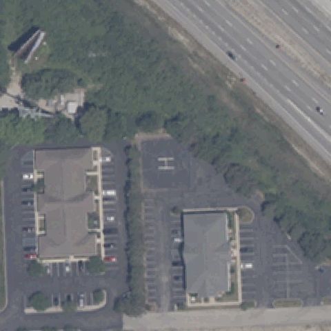
Aerial tile for 77INConfirmed

77IN Meml Hospital At Jasper

JASPER, IN

38.393888889, -86.9408333329999

White square pad with cross marking on the hospital grounds near center.

✓ Confirmed by AI vision with Claude Opus 4.8

85% confidence Verify on the map →
Is there really a pad here?
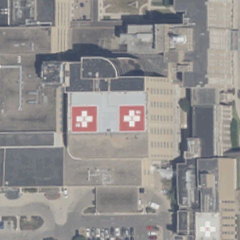
Aerial tile for 8IN6Confirmed

8IN6 Parkview Noble Hospital

KENDALLVILLE, IN

41.447775, -85.2956694439999

Octagonal pad with white cross marking at center of the lawn.

✓ Confirmed by AI vision with Claude Opus 4.8

90% confidence Verify on the map →
Is there really a pad here?
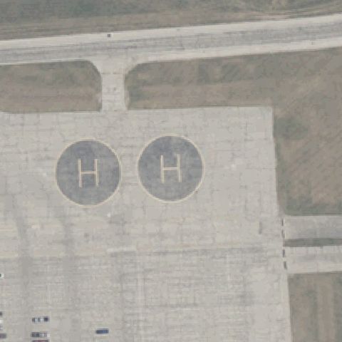
Aerial tile for 8IN1Confirmed

8IN1 Indiana University Health Arnett

LAFAYETTE, IN

40.4005222220001, -86.807886111

White square pad with cross marking near center on the hospital grounds.

✓ Confirmed by AI vision with Claude Opus 4.8

85% confidence Verify on the map →
Is there really a pad here?
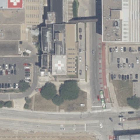
Aerial tile for 76INConfirmed

76IN Franciscan Health Lafayette East

LAFAYETTE, IN

40.394166667, -86.834722222

White square pad with cross marking near center beside the hospital.

✓ Confirmed by AI vision with Claude Opus 4.8

85% confidence Verify on the map →
Is there really a pad here?
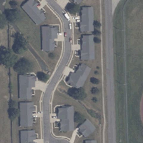
Aerial tile for 08IIConfirmed

08II Parkview Lagrange Hospital

LAGRANGE, IN

41.6450750000001, -85.426405556

Prepared light square slab with perimeter dots near center but no clear H or cross visible.

✓ Confirmed by AI vision with Claude Opus 4.8

55% confidence Verify on the map →
Is there really a pad here?
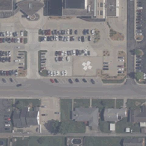
Aerial tile for IN17Confirmed

IN17 Greene County General Hospital

LINTON, IN

39.040133333, -87.12965

Faint square prepared pad with a circular touchdown marker at image center.

✓ Confirmed by AI vision with Claude Opus 4.8

70% confidence Verify on the map →
Is there really a pad here?

Aerial tile for IN96Confirmed

IN96 Parkview Logansport Hospital

LOGANSPORT, IN

40.763611944, -86.361146944

Octagonal ground pad with a painted cross/touchdown marker at center.

✓ Confirmed by AI vision with Claude Opus 4.8

95% confidence Verify on the map →
Is there really a pad here?
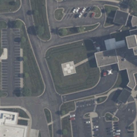
Aerial tile for 2IG5Confirmed

2IG5 Heli-Bell Museum

MENTONE, IN

41.1716666670001, -86.042777778

Square ground pad with a painted H marking near center in a rural yard.

✓ Confirmed by AI vision with Claude Opus 4.8

90% confidence Verify on the map →
Is there really a pad here?
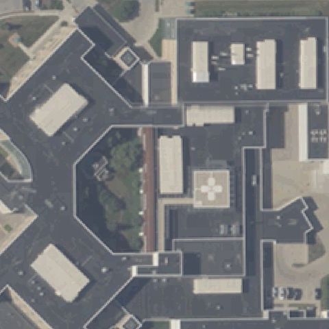
Aerial tile for IN24Confirmed

IN24 Franciscan Health Michigan City

MICHIGAN CITY, IN

41.660241667, -86.899575

Large square pad with a white cross touchdown marker at center.

✓ Confirmed by AI vision with Claude Opus 4.8

95% confidence Verify on the map →
Is there really a pad here?
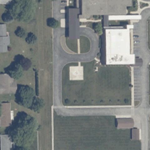
Aerial tile for IN28Confirmed

IN28 Munster Community Hospital

MUNSTER, IN

41.5497583330001, -87.5069972219999

Square pad with white cross marking on a raised platform near center.

✓ Confirmed by AI vision with Claude Opus 4.8

90% confidence Verify on the map →
Is there really a pad here?
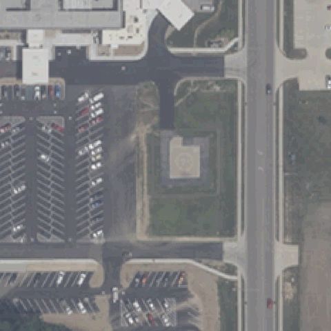
Aerial tile for 07IIConfirmed

07II St Vincent Jennings Hospital

NORTH VERNON, IN

39.010609167, -85.6408024999999

Square ground pad with white cross touchdown marker at center.

✓ Confirmed by AI vision with Claude Opus 4.8

92% confidence Verify on the map →
Is there really a pad here?
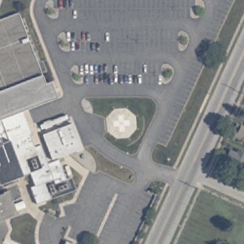
Aerial tile for 4IN0Confirmed

4IN0 Indiana University Health Blackford Hospital

HARTFORD CITY, IN

40.467036111, -85.373075

Diamond-oriented square pad with white cross marking near center.

✓ Confirmed by AI vision with Claude Opus 4.8

90% confidence Verify on the map →
Is there really a pad here?
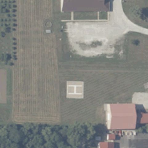
Aerial tile for 00INConfirmed

00IN St Mary Medical Center

HOBART, IN

41.511388889, -87.260555556

Square pad with a painted touchdown cross marker near center.

✓ Confirmed by AI vision with Claude Opus 4.8

90% confidence Verify on the map →
Is there really a pad here?
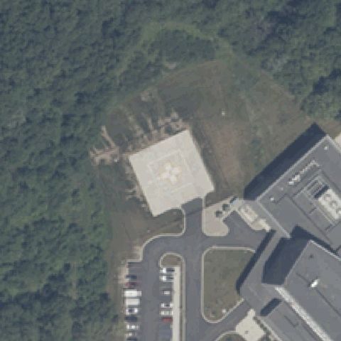
Aerial tile for 9IN1Confirmed

9IN1 Franciscan Health Indianapolis

INDIANAPOLIS, IN

39.647394444, -86.080041667

Square pad with white cross touchdown marker at center.

✓ Confirmed by AI vision with Claude Opus 4.8

90% confidence Verify on the map →
Is there really a pad here?
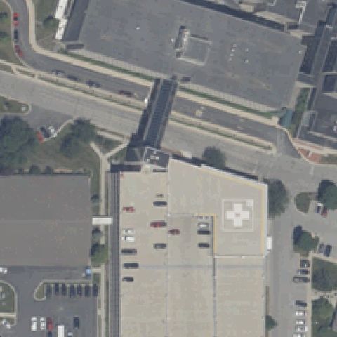
Aerial tile for II44Confirmed

II44 Northwest Health - Starke

KNOX, IN

41.2869694440001, -86.622455556

Square pad with a red H marking near center beside the hospital.

✓ Confirmed by AI vision with Claude Opus 4.8

90% confidence Verify on the map →
Is there really a pad here?
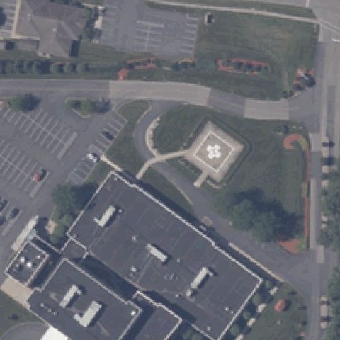
Aerial tile for II56Confirmed

II56 Rgnl Health System

KOKOMO, IN

40.447255, -86.125665972

Red rooftop pad with white cross marking at center on the building roof.

✓ Confirmed by AI vision with Claude Opus 4.8

85% confidence Verify on the map →
Is there really a pad here?
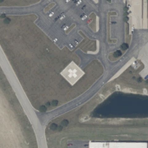
Aerial tile for II88Confirmed

II88 St Vincent Kokomo

KOKOMO, IN

40.4844444440001, -86.157777778

Square pad with white cross touchdown marker at center.

✓ Confirmed by AI vision with Claude Opus 4.8

90% confidence Verify on the map →
Is there really a pad here?
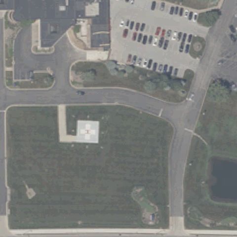
Aerial tile for 5IN2Confirmed

5IN2 St Joseph's Rgnl Med Cntr Edison Lakes

MISHAWAKA, IN

41.7066611110001, -86.1757388889999

Square pad with white cross touchdown marker at center.

✓ Confirmed by AI vision with Claude Opus 4.8

92% confidence Verify on the map →
Is there really a pad here?
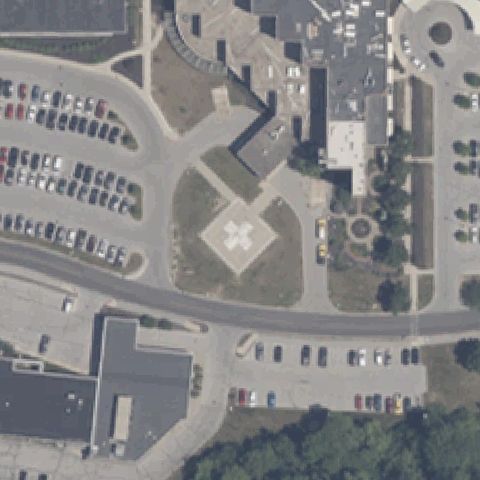
Aerial tile for 41INConfirmed

41IN Professional Arts Building

NEW ALBANY, IN

38.3002777780001, -85.835833333

Rooftop pad with white cross marking near center on the building.

✓ Confirmed by AI vision with Claude Opus 4.8

85% confidence Verify on the map →
Is there really a pad here?
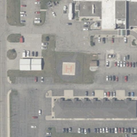
Aerial tile for 19IIConfirmed

19II Henry County Hospital

NEW CASTLE, IN

39.9431016670001, -85.364691667

Square ground pad with white cross touchdown marker near center.

✓ Confirmed by AI vision with Claude Opus 4.8

90% confidence Verify on the map →
Is there really a pad here?
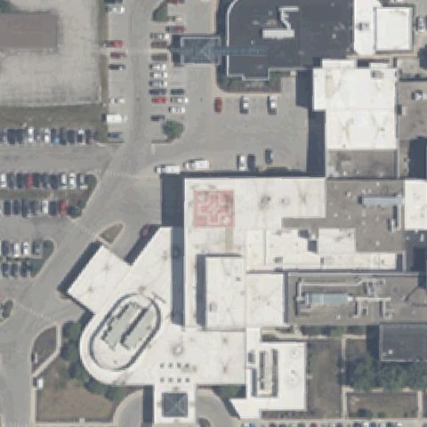
Aerial tile for 64IGConfirmed

64IG Indiana University Health Paoli Inc

PAOLI, IN

38.5679027780001, -86.476005556

Faint painted circle on a paved lot at center suggests a ground pad.

✓ Confirmed by AI vision with Claude Opus 4.8

60% confidence Verify on the map →
Is there really a pad here?
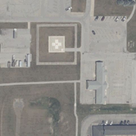
Aerial tile for 9II5Confirmed

9II5 Rush Meml Hospital

RUSHVILLE, IN

39.6225466670001, -85.443303611

Rooftop pad with white H marking near center on the hospital.

✓ Confirmed by AI vision with Claude Opus 4.8

85% confidence Verify on the map →
Is there really a pad here?
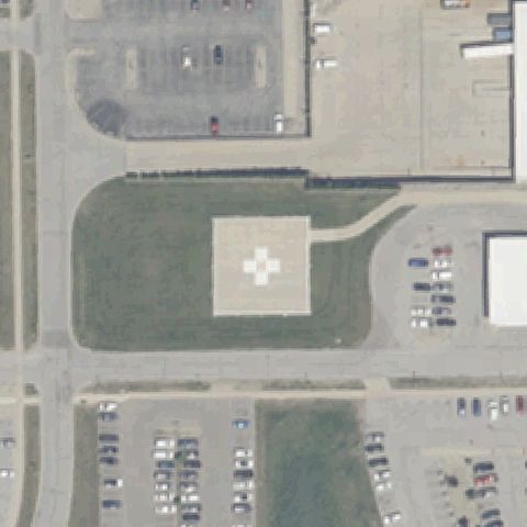
Aerial tile for 46IIConfirmed

46II Northwest Health - Porter

VALPARAISO, IN

41.553660833, -87.047946944

Square pad with white cross touchdown marker at center.

✓ Confirmed by AI vision with Claude Opus 4.8

92% confidence Verify on the map →
Is there really a pad here?
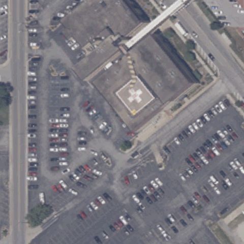
Aerial tile for 84INConfirmed

84IN Kosciusko Community Hospital

WARSAW, IN

41.2473583330001, -85.829119444

Square pad with faint cross marking at center in a grassed area.

✓ Confirmed by AI vision with Claude Opus 4.8

85% confidence Verify on the map →
Is there really a pad here?
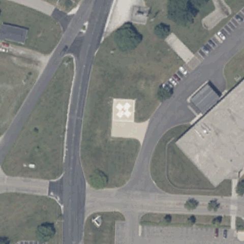
Aerial tile for 8IN5Confirmed

8IN5 Portage Community Hospital

PORTAGE, IN

41.547002778, -87.184425

Square pad with white cross marking near center on paved area.

✓ Confirmed by AI vision with Claude Opus 4.8

85% confidence Verify on the map →
Is there really a pad here?
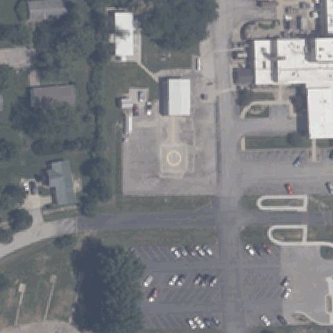
Aerial tile for 10IIConfirmed

10II Franciscan Health Rensselaer

RENSSELAER, IN

40.934997222, -87.138158333

Square pad with white cross touchdown marker near center.

✓ Confirmed by AI vision with Claude Opus 4.8

85% confidence Verify on the map →
Is there really a pad here?
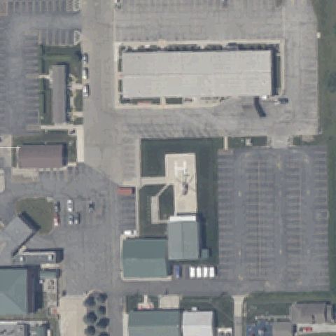
Aerial tile for 86INConfirmed

86IN St Vincent Salem Hospital

SALEM, IN

38.613472222, -86.106672222

Square pad with red cross touchdown marker at center.

✓ Confirmed by AI vision with Claude Opus 4.8

90% confidence Verify on the map →
Is there really a pad here?
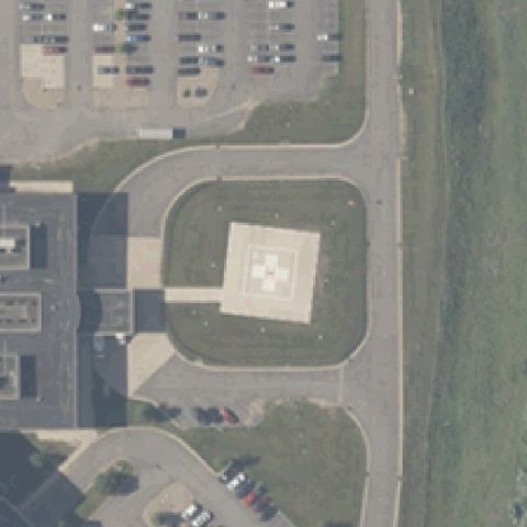
Aerial tile for 60IIConfirmed

60II Union Hospital

TERRE HAUTE, IN

39.4861083330001, -87.407433333

Rooftop pad with white cross marking near center on the building.

✓ Confirmed by AI vision with Claude Opus 4.8

80% confidence Verify on the map →
Is there really a pad here?
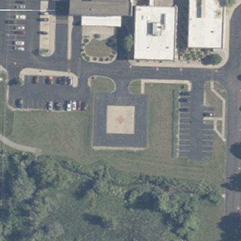
Aerial tile for 24IIConfirmed

24II Good Samaritan Hospital

VINCENNES, IN

38.673302778, -87.534547222

Square pad with white cross touchdown marker near center.

✓ Confirmed by AI vision with Claude Opus 4.8

88% confidence Verify on the map →
Is there really a pad here?
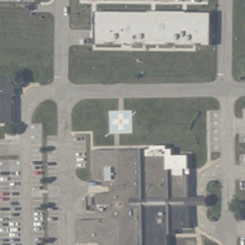
Aerial tile for IN35Confirmed

IN35 Decatur County Meml Hospital

GREENSBURG, IN

39.3441750000001, -85.477555556

Square pad with white cross touchdown marker at center.

✓ Confirmed by AI vision with Claude Opus 4.8

90% confidence Verify on the map →
Is there really a pad here?
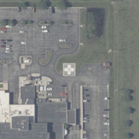
Aerial tile for IN84Confirmed

IN84 Iu Health Morgan

MARTINSVILLE, IN

39.4250527780001, -86.404613889

Yellow pad with red H marking at center near the building.

✓ Confirmed by AI vision with Claude Opus 4.8

90% confidence Verify on the map →
Is there really a pad here?
Aerial tile for IN40Confirmed

IN40 Franciscan Health Munster

MUNSTER, IN

41.538333333, -87.5144444439999

Square pad with red cross/touchdown marker near center.

✓ Confirmed by AI vision with Claude Opus 4.8

85% confidence Verify on the map →
Is there really a pad here?
Aerial tile for 5IN8Confirmed

5IN8 Parkview Warsaw Facility

WARSAW, IN

41.258702778, -85.828805556

Square pad with cross touchdown marker at center in a paved area.

✓ Confirmed by AI vision with Claude Opus 4.8

85% confidence Verify on the map →
Is there really a pad here?
Aerial tile for IN77Confirmed

IN77 Dotlich

BROWNSBURG, IN

39.8215638890001, -86.427730556

Raised rooftop pad with H marking near center in a rural property.

✓ Confirmed by AI vision with Claude Opus 4.8

80% confidence Verify on the map →
Is there really a pad here?
Aerial tile for IN73Confirmed

IN73 Clarion North Medical Center

CARMEL, IN

39.9585888890001, -86.1589472219999

Square pad with white cross touchdown marker at center.

✓ Confirmed by AI vision with Claude Opus 4.8

88% confidence Verify on the map →
Is there really a pad here?
Aerial tile for IN89Confirmed

IN89 Parkview Wabash Hospital

WABASH, IN

40.8199887500001, -85.824137917

A square pad with a circular touchdown marker sits on the lawn near image center.

✓ Confirmed by AI vision with Claude Opus 4.8

85% confidence Verify on the map →
Is there really a pad here?
Aerial tile for IN67Confirmed

IN67 Granger Hospital

SOUTH BEND, IN

41.734672222, -86.1512333329999

A dark square pad with a white cross/H touchdown marking is at the image center.

✓ Confirmed by AI vision with Claude Opus 4.8

92% confidence Verify on the map →
Is there really a pad here?
Aerial tile for 06INConfirmed

06IN Iu Health Bloomington

BLOOMINGTON, IN

39.178339028, -86.50150625

A square ground pad with a white cross/H marking is centered in the landscaped island.

✓ Confirmed by AI vision with Claude Opus 4.8

90% confidence Verify on the map →
Is there really a pad here?