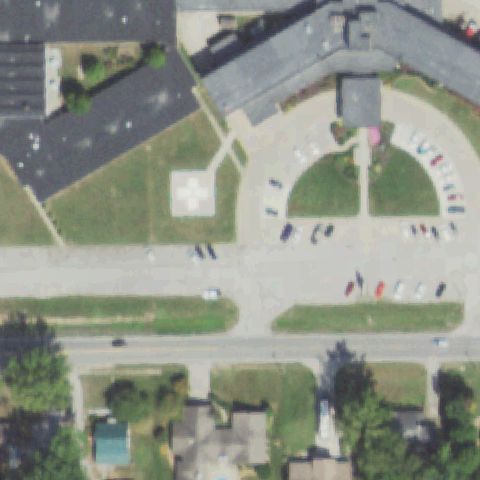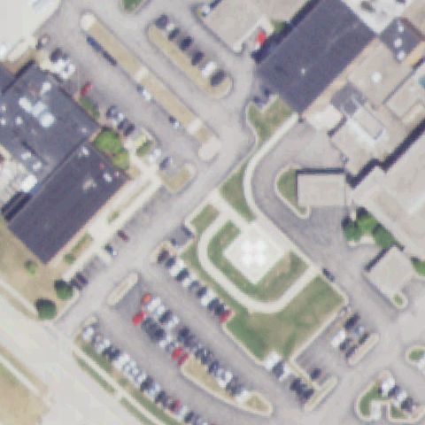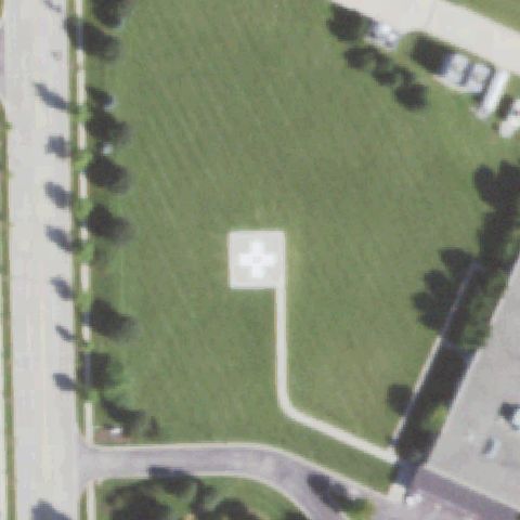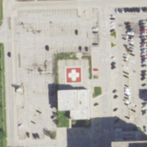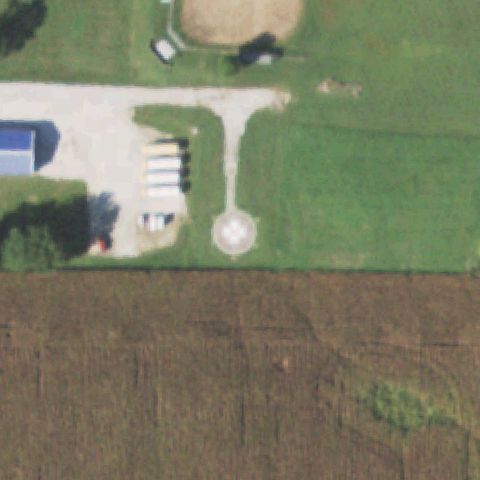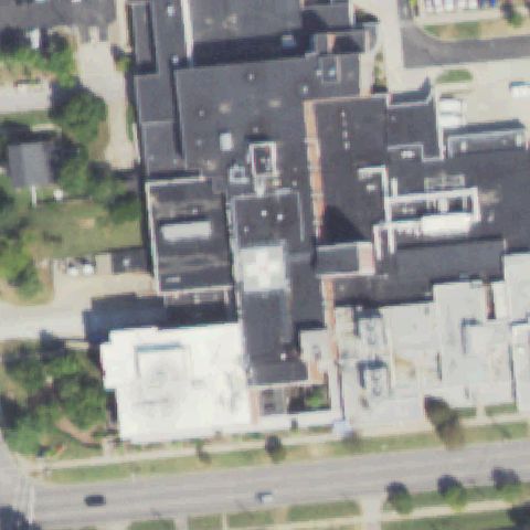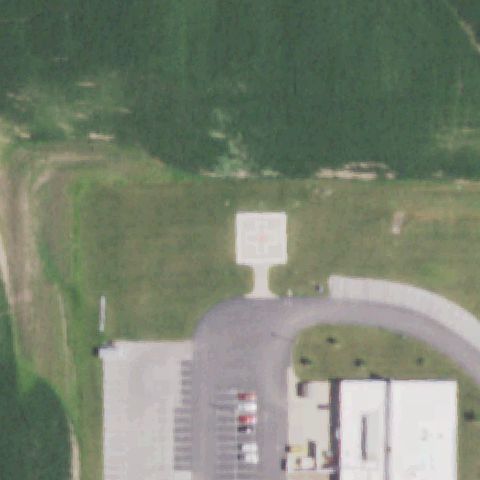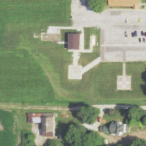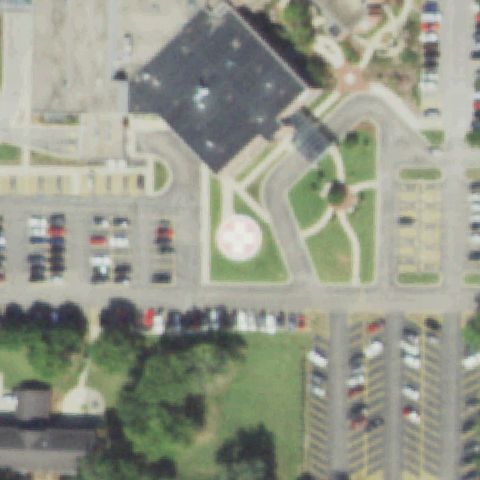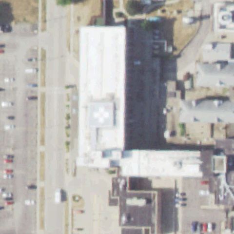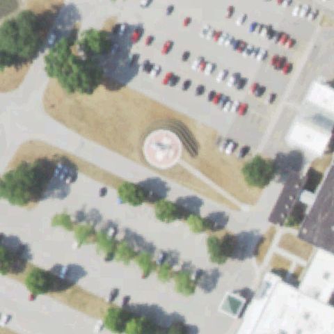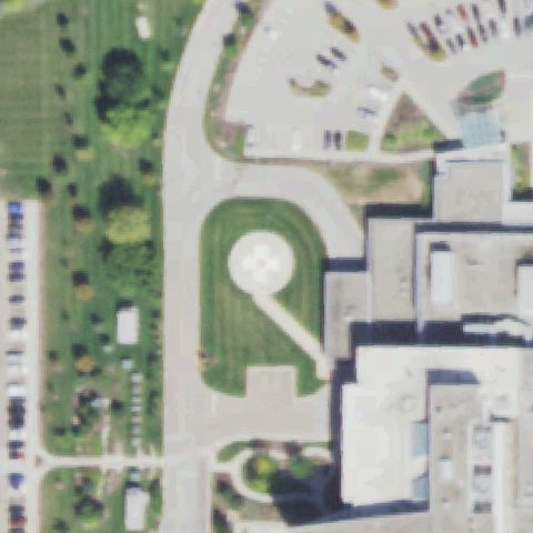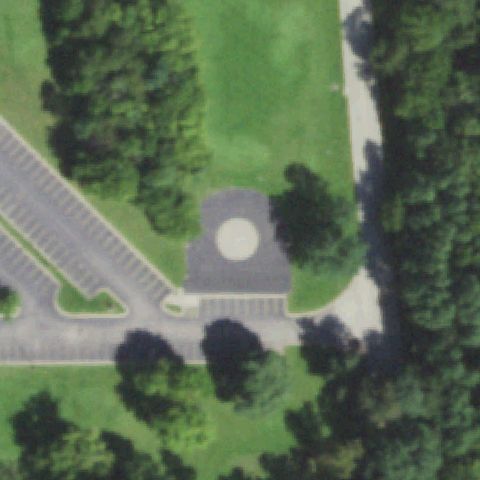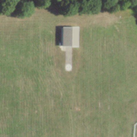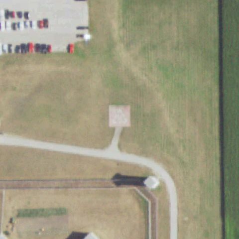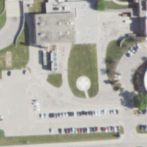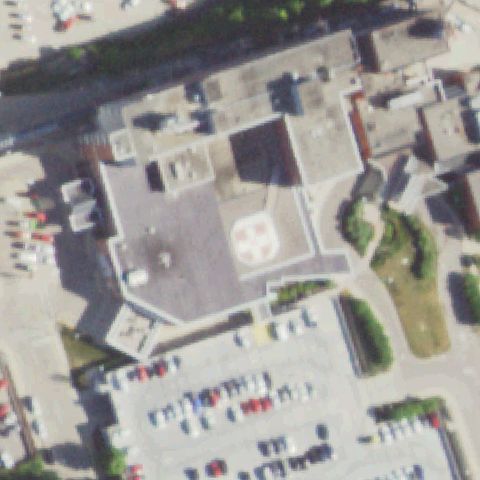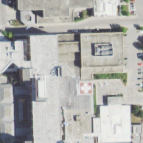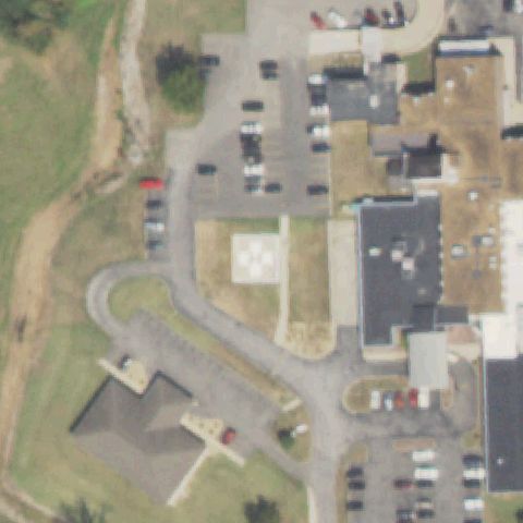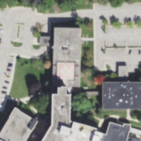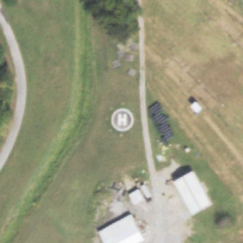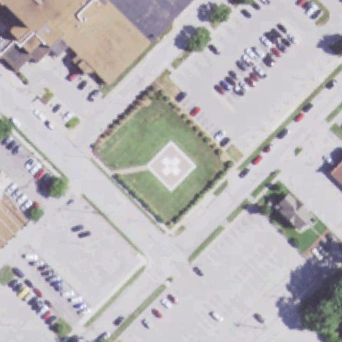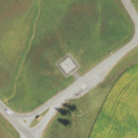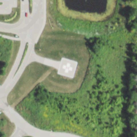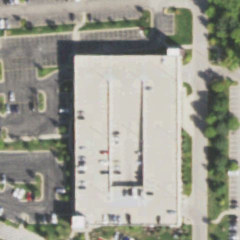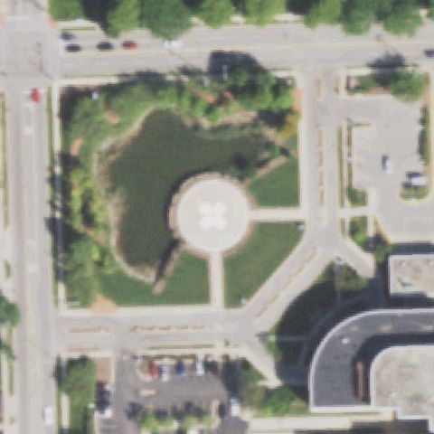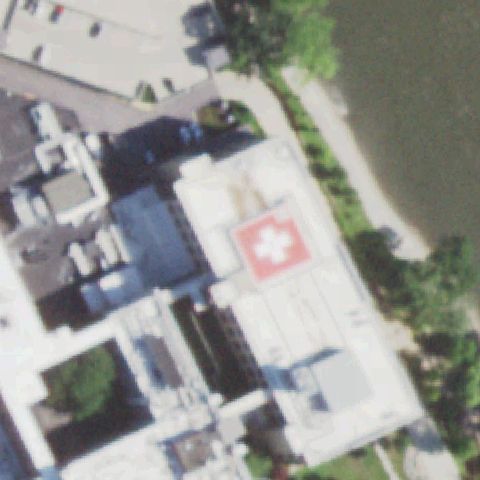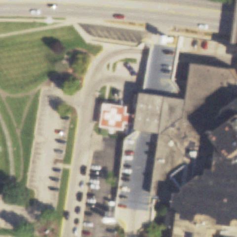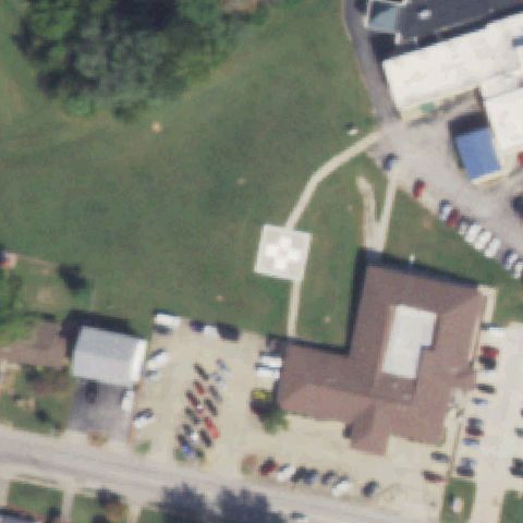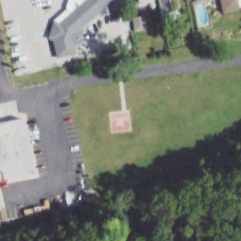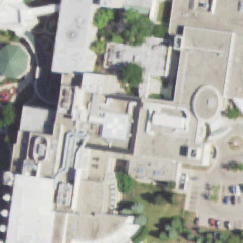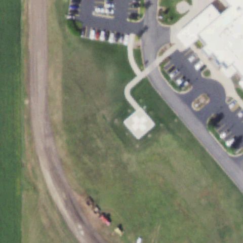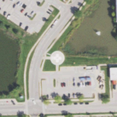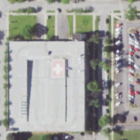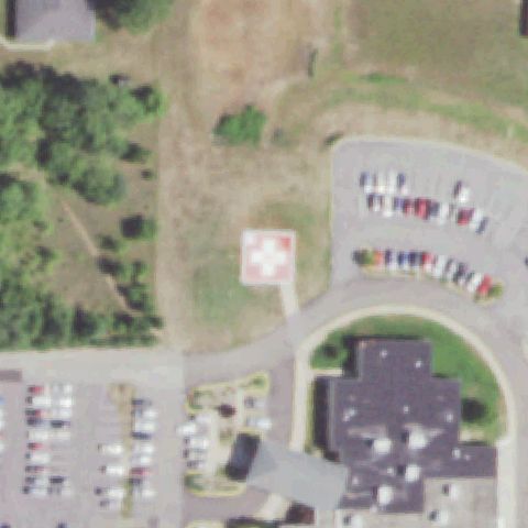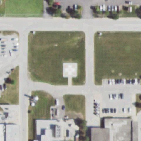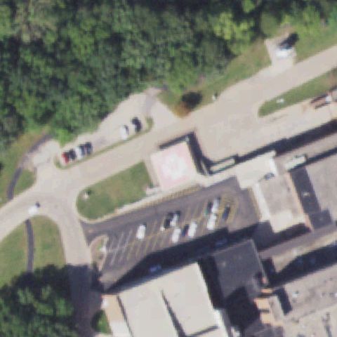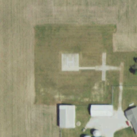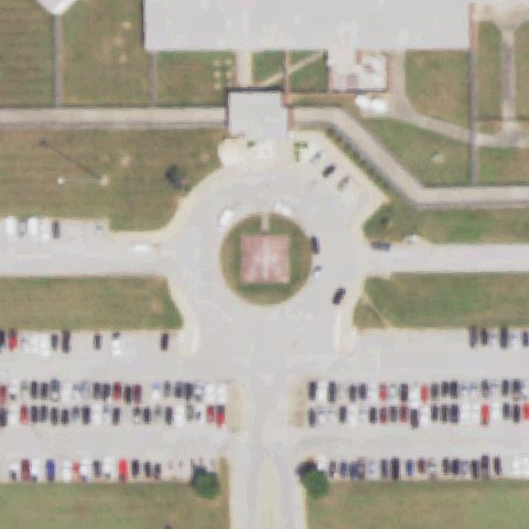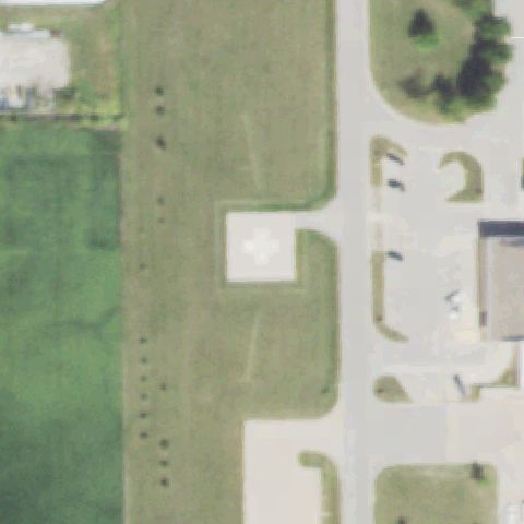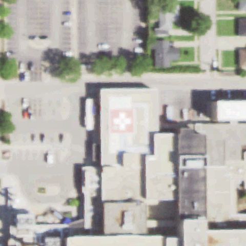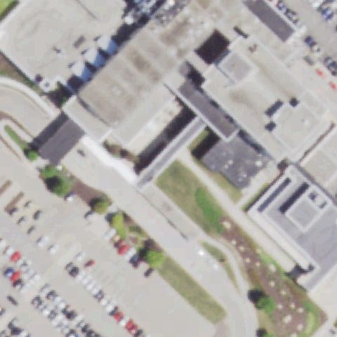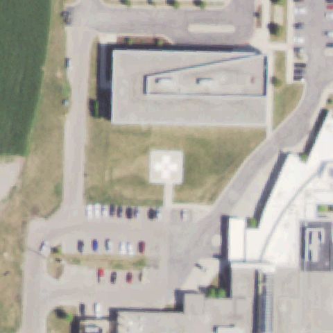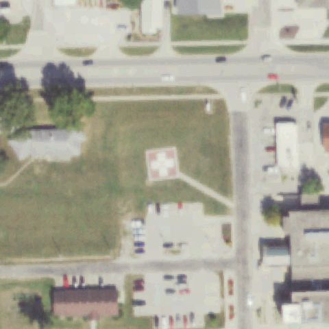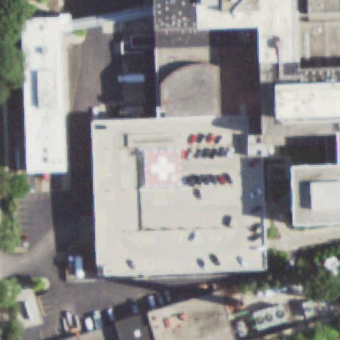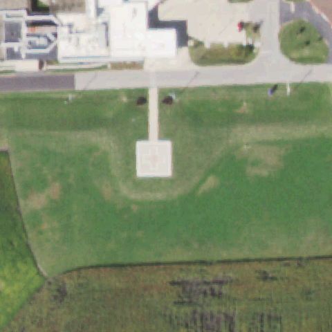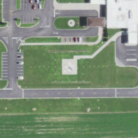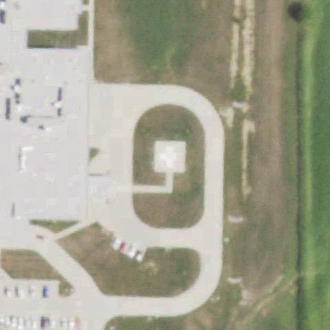
FAA record × aerial reality

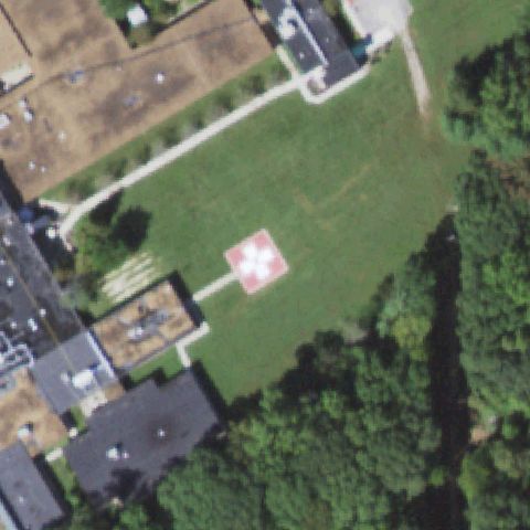
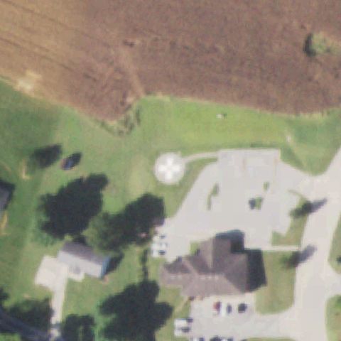
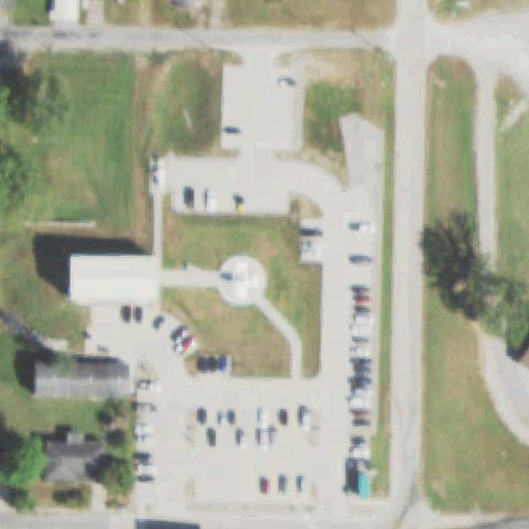
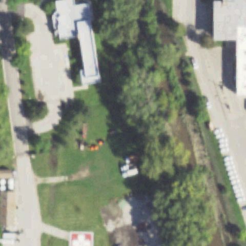
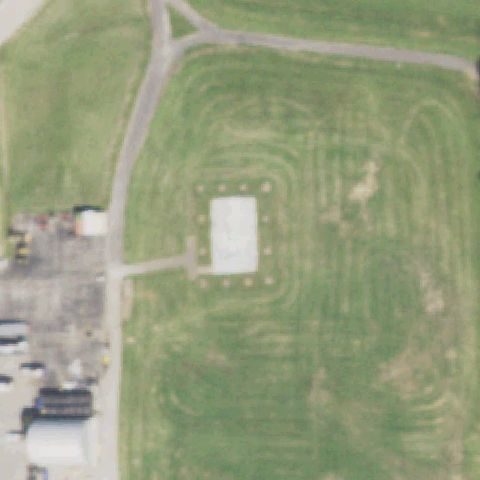
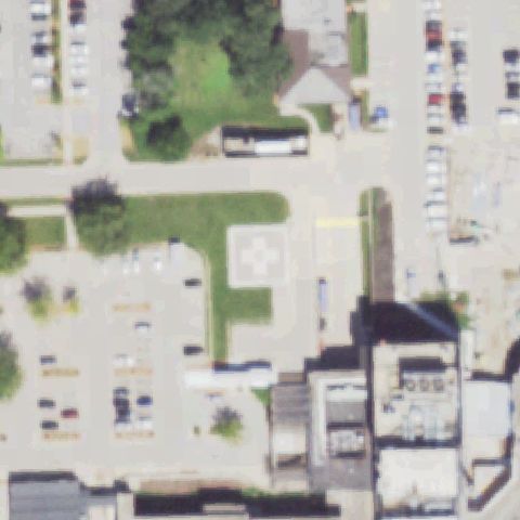
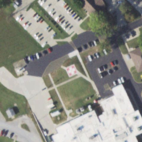
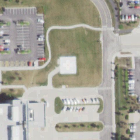
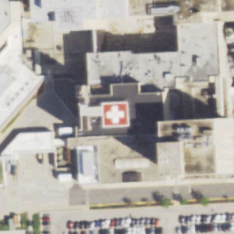
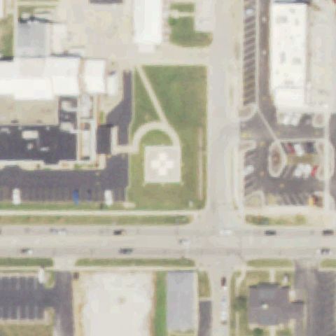
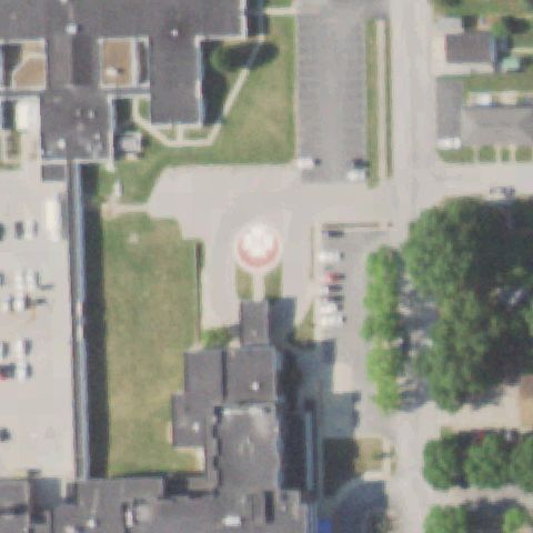
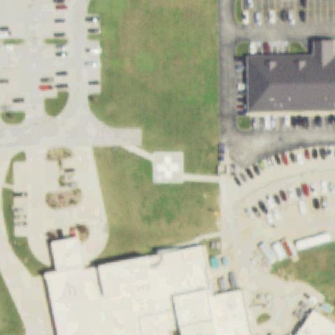
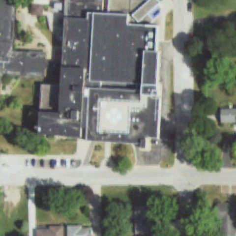
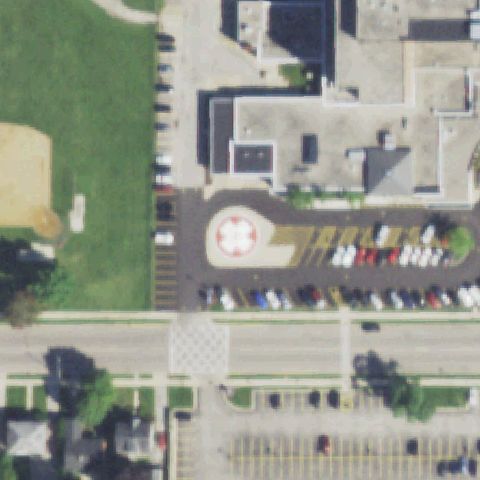
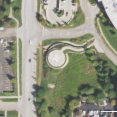
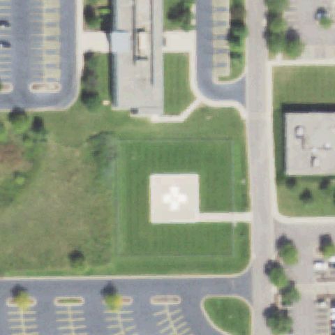
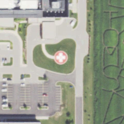
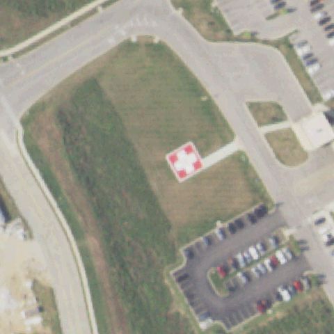
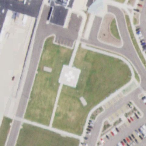
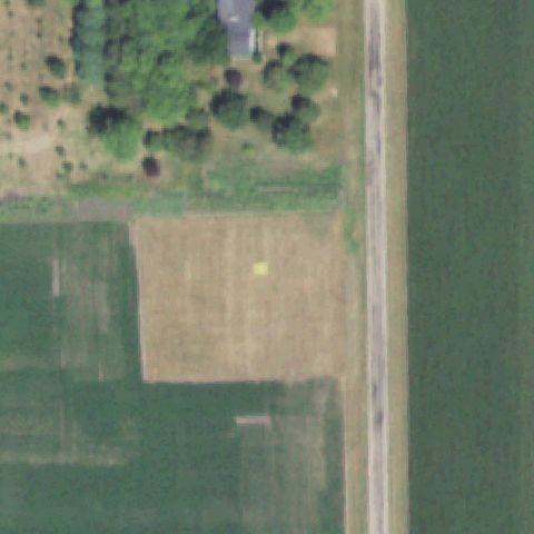
Illinois: where the heliport map and the ground disagree.

228
facilities checked
100
flagged for review
-
visitors

Data: FAA Airports (ArcGIS open layer)  |  Imagery: USGS NAIP (public domain)  |  AI vision: Claude Opus 4.8  |  built 2026-07-05

This is a prioritized review queue, not a list of findings.

A flag means a pad could not be confirmed from current imagery - never that a heliport is missing, fake, or mislocated. Help us check: vote on each one below.

Verdicts
59 Not visible36 Off-center5 Uncertain128 Confirmed
Facilities — worst-first
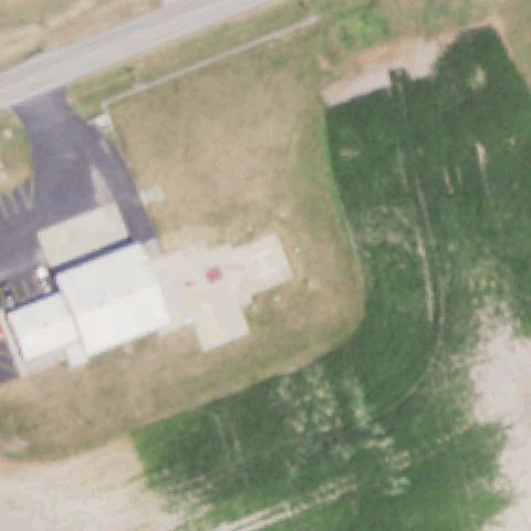
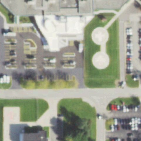
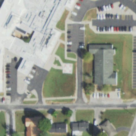
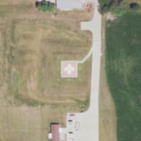
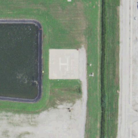
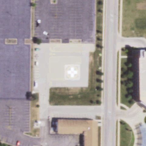
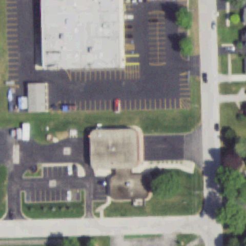
Aerial tile for IS81Not visible

IS81 Alsip Fire Department

ALSIP, IL

41.6750330560001, -87.7494955559999

Center shows commercial parking lots and a small building with no helipad marking visible.

88% confidence Verify on the map →
Is there really a pad here?
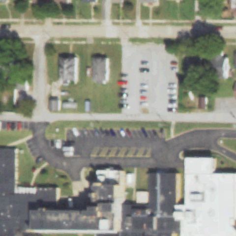
Aerial tile for 4IS0Not visible

4IS0 Joan Graves Edwards

ANNA, IL

37.4654722220001, -89.24625

Center shows parking lots and commercial buildings with no helipad marking visible.

85% confidence Verify on the map →
Is there really a pad here?
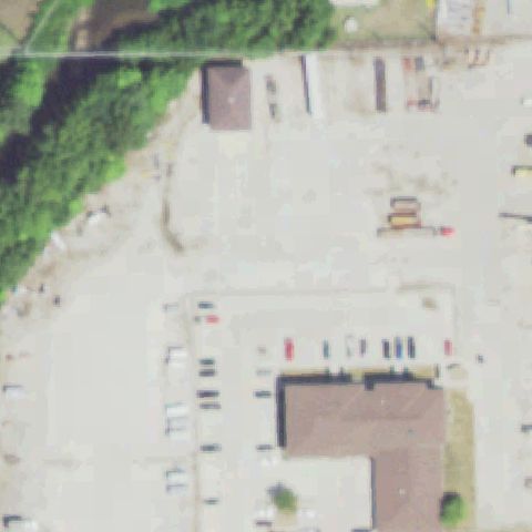
Aerial tile for IL14Not visible

IL14 Stark

BLOOMINGTON, IL

40.4800000000001, -89.021666667

Center shows commercial parking lots and buildings with no helipad marking visible.

85% confidence Verify on the map →
Is there really a pad here?
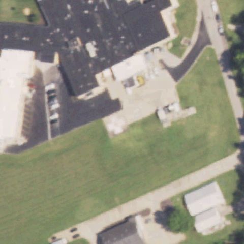
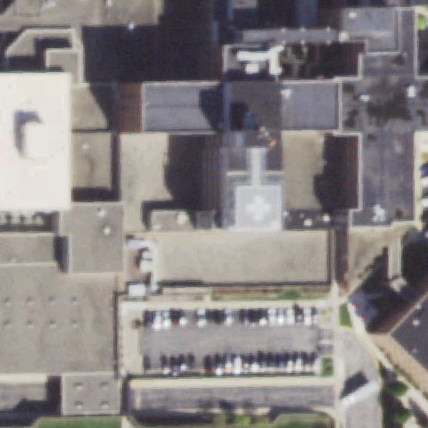
Aerial tile for 4IS2Not visible

4IS2 Meml Hospital

CHESTER, IL

37.917255556, -89.81285

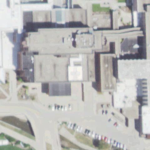
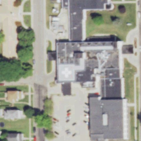
Center shows hospital building complex; no clear helipad marking visible at center, only building rooftops and parking.

70% confidence Verify on the map →
Is there really a pad here?
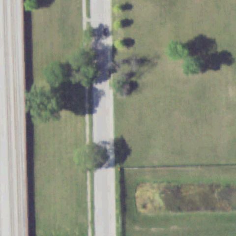
Aerial tile for IL69Not visible

IL69 First Area Police Hdqtrs

CHICAGO, IL

41.8000336110001, -87.627827778

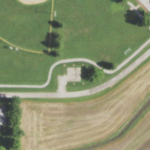
Center shows rural road through agricultural fields with no helipad or landing area visible.

88% confidence Verify on the map →
Is there really a pad here?
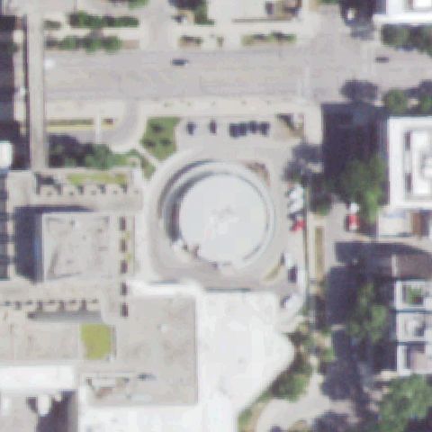
Aerial tile for 6IS7Not visible

6IS7 Saint Mary of Nazareth Hospital

CHICAGO, IL

41.9027083330001, -87.682597222

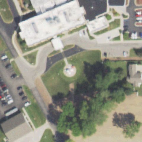
Center shows a large circular structure resembling a roundabout or water feature, not a helipad marking.

78% confidence Verify on the map →
Is there really a pad here?
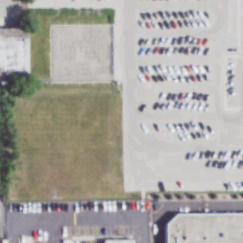
Aerial tile for IL70Not visible

IL70 Wgn-Tv

CHICAGO, IL

41.9483333330001, -87.6933333329999

Center shows grass field and parking lots with no helipad marking visible; WGN-TV site may have changed.

85% confidence Verify on the map →
Is there really a pad here?
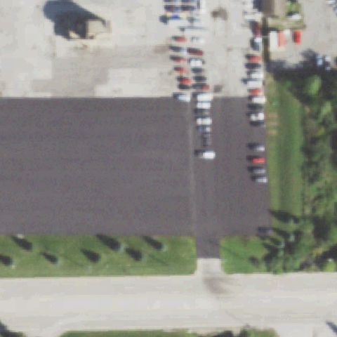
Aerial tile for TF8Not visible

TF8 Tinley Park Helistop

CHICAGO/TINLEY PARK, IL

41.5588611110001, -87.805986111

Center shows large dark asphalt parking lot with no helipad markings or landing area indicators visible.

85% confidence Verify on the map →
Is there really a pad here?
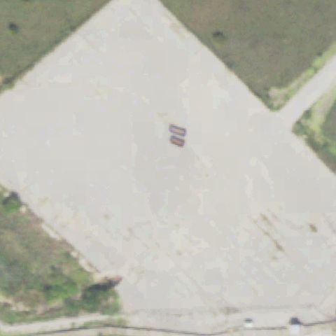
Aerial tile for II41Not visible

II41 Clinton Power Station

CLINTON, IL

40.1750083330001, -88.8349111109999

Center shows a large flat concrete/gravel area (nuclear plant grounds) with no clear H or helipad marking visible.

72% confidence Verify on the map →
Is there really a pad here?
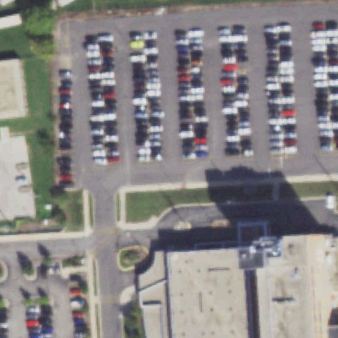
Aerial tile for 9IS3Not visible

9IS3 St Mary's Hospital - Decatur

DECATUR, IL

39.828277778, -88.932516667

Center shows large parking lots and hospital building, no helipad marking visible at center.

85% confidence Verify on the map →
Is there really a pad here?
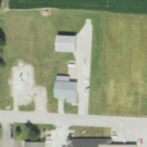
Aerial tile for 77ILNot visible

77IL Arch - Effingham

EFFINGHAM, IL

39.08, -88.544166667

Center shows rural/farm area with small buildings and no helipad marking visible.

85% confidence Verify on the map →
Is there really a pad here?
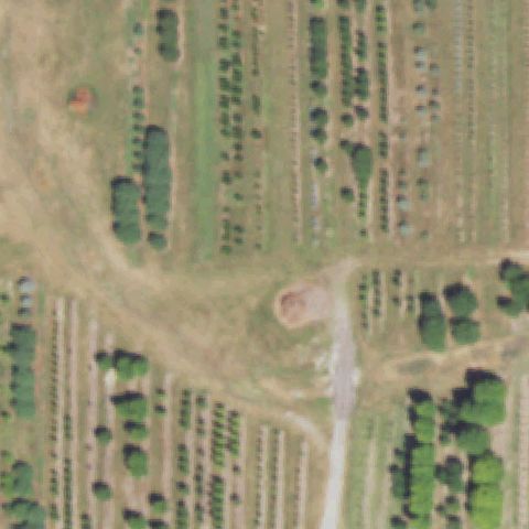
Aerial tile for 9IS7Not visible

9IS7 Black Hawk

GENESEO, IL

41.4555888890001, -90.168175

Center shows a nursery or orchard with rows of plants and dirt paths, no helipad visible.

90% confidence Verify on the map →
Is there really a pad here?
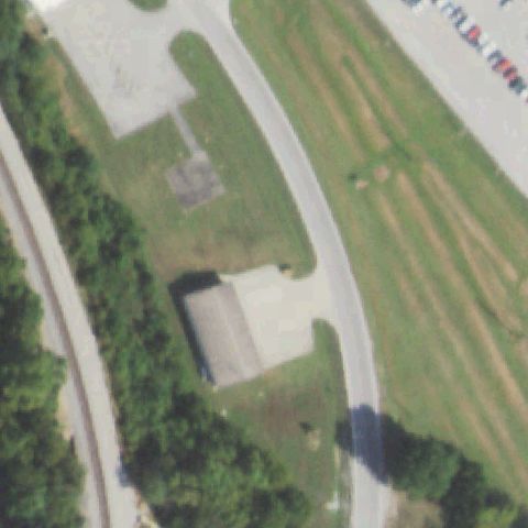
Aerial tile for 0IS6Not visible

0IS6 Dongola

DONGOLA, IL

37.3655555560001, -89.163611111

Center shows open industrial/concrete area near buildings with no visible helipad markings.

70% confidence Verify on the map →
Is there really a pad here?
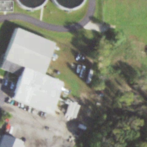
Aerial tile for 64ISNot visible

64IS Precision Chrome

FOX LAKE, IL

42.388888889, -88.173694444

Center shows industrial building complex with no helipad visible; only vehicles and industrial structures.

78% confidence Verify on the map →
Is there really a pad here?
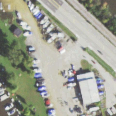
Aerial tile for IL44Not visible

IL44 Arrow

FOX LAKE, IL

42.4033538890001, -88.187585556

Center shows crowded parking lot and vehicle storage area with no helipad markings visible.

80% confidence Verify on the map →
Is there really a pad here?
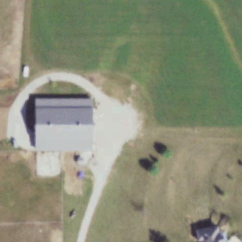
Aerial tile for 6IL3Not visible

6IL3 Ras Aviation

MANSFIELD, IL

40.1868000000001, -88.503983333

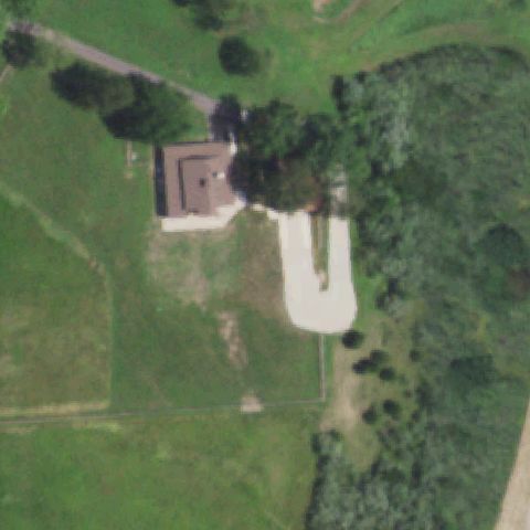
Center shows rural farm/aviation building with circular driveway but no distinct helipad markings visible.

72% confidence Verify on the map →
Is there really a pad here?
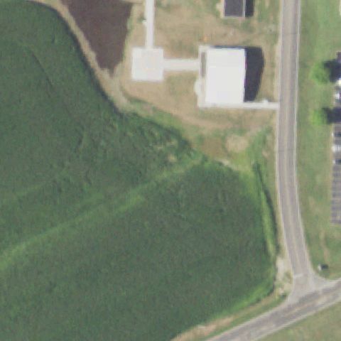
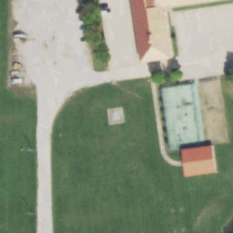
Aerial tile for 8IS9Not visible

8IS9 Anderson Hospital

MARYVILLE, IL

38.735361111, -89.9480833329999

Center of image is open sloping green field; small building cluster is off to the upper right with no visible helipad markings.

72% confidence Verify on the map →
Is there really a pad here?
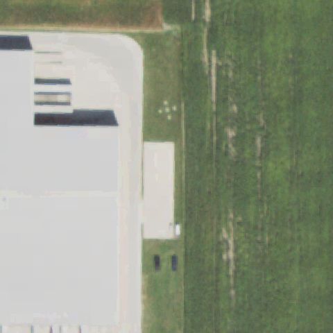
Aerial tile for IL43Not visible

IL43 Rural King Supply

MATTOON, IL

39.4937972220001, -88.410783333

Center shows large commercial/warehouse building (Rural King) with a white roof structure and no helipad markings visible anywhere.

90% confidence Verify on the map →
Is there really a pad here?
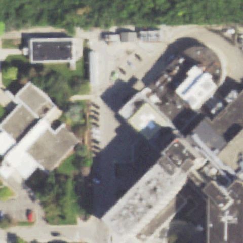
Aerial tile for 14LLNot visible

14LL Gottlieb

MELROSE PARK, IL

41.9113888890001, -87.843888889

Dense urban hospital complex at image center with multiple rooftops visible but no clear helipad markings or pad identifiable.

70% confidence Verify on the map →
Is there really a pad here?
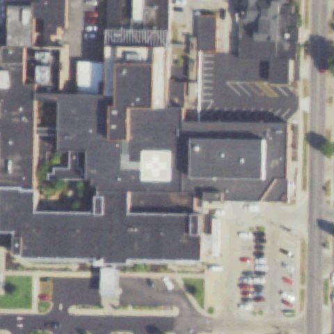
Aerial tile for 5IL0Not visible

5IL0 Herrin Hospital

HERRIN, IL

37.801252778, -89.026027778

Center of image shows general hospital/commercial building area with no identifiable helipad markings visible.

70% confidence Verify on the map →
Is there really a pad here?
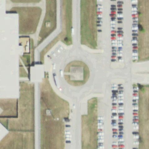
Aerial tile for IL67Not visible

IL67 Big Muddy Correctional Facility

INA, IL

38.1301888890001, -88.9052583329999

Center of image is open green field within correctional facility perimeter; no helipad markers visible.

85% confidence Verify on the map →
Is there really a pad here?
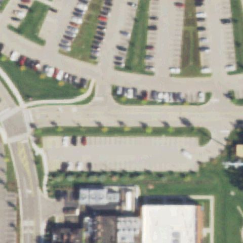
Aerial tile for 45ILNot visible

45IL Northwestern Lake Forest Hospital

LAKE FOREST, IL

42.2546972220001, -87.864411111

Image center is a large open parking lot area; hospital buildings visible at bottom but no helipad markings visible anywhere.

80% confidence Verify on the map →
Is there really a pad here?
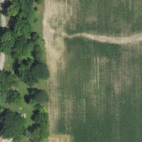
Aerial tile for 1LL9Not visible

1LL9 Reyhan

LOAMI, IL

39.677551389, -89.805102778

Center of image is open crop/agricultural field with no helipad or prepared surface visible.

90% confidence Verify on the map →
Is there really a pad here?
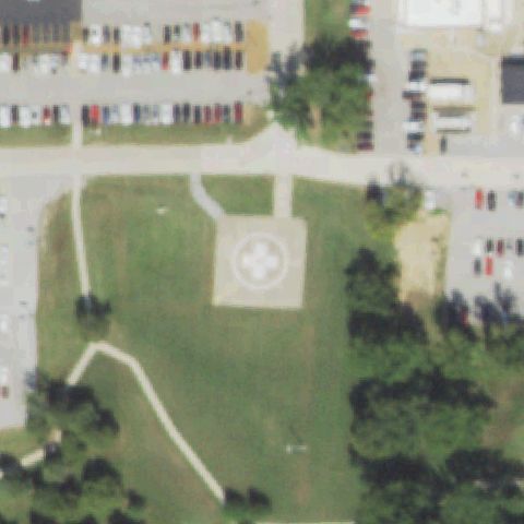
Aerial tile for 58ISNot visible

58IS Va Medical Center

MARION, IL

37.7231055560001, -88.9548972219999

Image center shows open grassy/treed area with no helipad markings; VA campus buildings are at the periphery.

80% confidence Verify on the map →
Is there really a pad here?
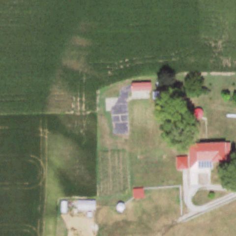
Aerial tile for 3IL4Not visible

3IL4 Maaks

MIDDLETOWN, IL

40.1314, -89.592958333

Center of image is open agricultural/rural property with farm outbuildings; no helipad visible.

88% confidence Verify on the map →
Is there really a pad here?
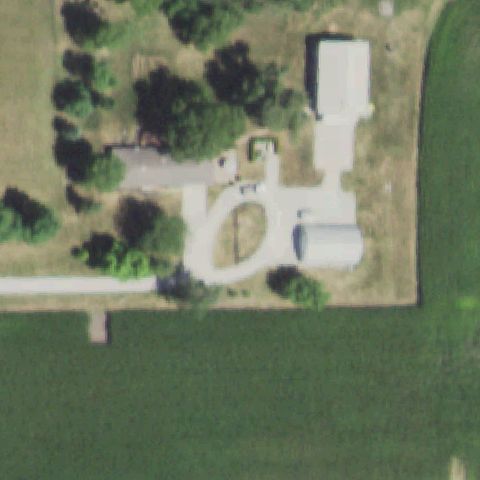
Aerial tile for IS18Not visible

IS18 Jerry Lay

MINONK, IL

40.860708333, -88.986091667

Center of image shows a private rural property with a circular driveway and outbuildings but no helipad markings.

85% confidence Verify on the map →
Is there really a pad here?
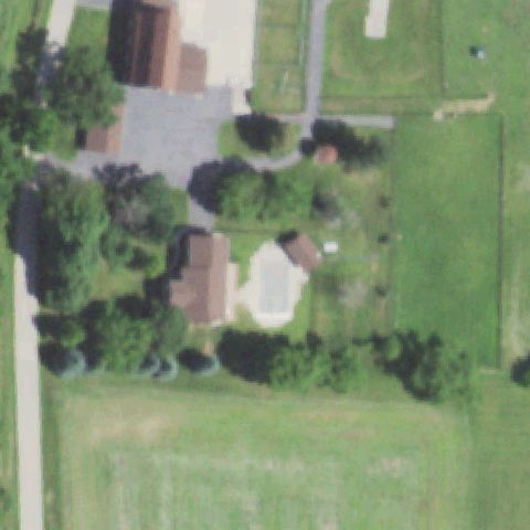
Aerial tile for 5IL1Not visible

5IL1 Olson

PECATONICA, IL

42.346128611, -89.2865002779999

Center shows private rural residential property with a home and barn structures; no helipad markings visible.

88% confidence Verify on the map →
Is there really a pad here?
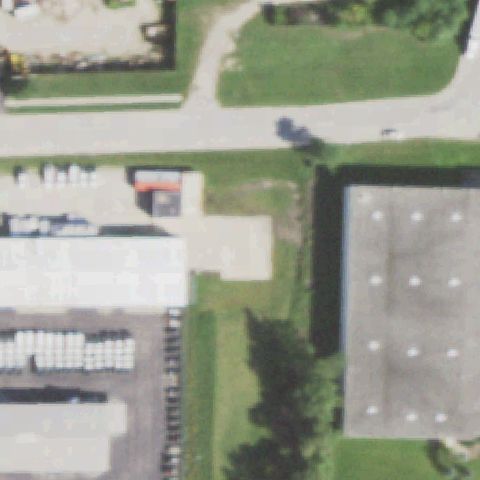
Aerial tile for LL95Not visible

LL95 Clarke

ROSELLE, IL

41.9863231940001, -88.1004768609999

Center of image shows industrial/warehouse buildings and rooftops with no helipad markings visible.

85% confidence Verify on the map →
Is there really a pad here?
Aerial tile for IS48Not visible

IS48 Il State Police District 22

ULLIN, IL

37.2712361110001, -89.163044444

Center shows open green field with farm buildings and no visible helipad markings.

85% confidence Verify on the map →
Is there really a pad here?
Aerial tile for 42ILNot visible

42IL Lynn

UNION, IL

42.203333333, -88.4974999999999

Center shows open grass field with a small farmstead, no helipad markers visible.

80% confidence Verify on the map →
Is there really a pad here?
Aerial tile for 31LLNot visible

31LL Wilco

OREGON, IL

41.9341666670001, -89.365

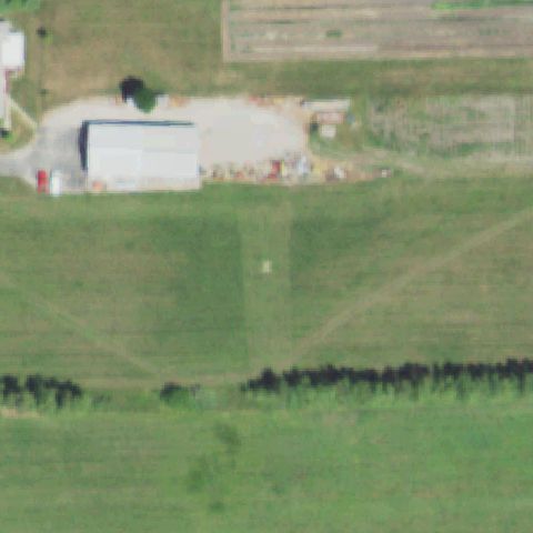
Center shows open grass field with a hangar building and no helipad markings visible.

82% confidence Verify on the map →
Is there really a pad here?
Aerial tile for 8LL6Not visible

8LL6 State Highway Paris

PARIS, IL

39.6033680560001, -87.712248889

Center shows road intersection and parking lot with no visible helipad markings.

75% confidence Verify on the map →
Is there really a pad here?
Aerial tile for IS49Not visible

IS49 Saint Elizabeth Medical Center-Peru

PERU, IL

41.3289833330001, -89.1238499999999

Center of image shows hospital building intersection and street, no helipad marking visible at center.

72% confidence Verify on the map →
Is there really a pad here?
Aerial tile for 0IS8Not visible

0IS8 Blessing Hospital

QUINCY, IL

39.936025, -91.398633333

Center shows hospital building with no visible helipad at or near image center.

72% confidence Verify on the map →
Is there really a pad here?
Aerial tile for 0IS0Not visible

0IS0 Trinity Medical Center - Rock Island

ROCK ISLAND, IL

41.4819000000001, -90.571161111

Center of image shows hospital building and parking, no distinct helipad marker visible at center.

70% confidence Verify on the map →
Is there really a pad here?
Aerial tile for 95LLNot visible

95LL Deckert

SECOR, IL

40.7195944440001, -89.157530556

Center shows open grass with farm/hangar buildings, no helipad markings visible.

85% confidence Verify on the map →
Is there really a pad here?
Aerial tile for IL20Not visible

IL20 Il Emergency Operations Center

SPRINGFIELD, IL

39.7778888890001, -89.6043333329999

Center shows open field/dirt area near buildings with no visible helipad markings.

78% confidence Verify on the map →
Is there really a pad here?
Aerial tile for 32ILNot visible

32IL Village of Tamms

TAMMS, IL

37.238975, -89.2661555559999

Center shows open grass field with no visible helipad markings.

85% confidence Verify on the map →
Is there really a pad here?
Aerial tile for 7IL5Not visible

7IL5 Illinois Wing & Rotor

VILLA GROVE, IL

39.8973777780001, -88.143411111

Center shows open grass field with farm/hangar buildings and no helipad markings.

85% confidence Verify on the map →
Is there really a pad here?
Aerial tile for 72ILNot visible

72IL Cornerstone

WARRENVILLE, IL

41.8101833330001, -88.168258333

Center shows dense building complex with no identifiable helipad at center.

72% confidence Verify on the map →
Is there really a pad here?
Aerial tile for 8LL8Not visible

8LL8 Miners Meml Health Center

WEST FRANKFORT, IL

37.899444444, -88.953888889

Center shows building complex and parking with no visible helipad marker at center.

72% confidence Verify on the map →
Is there really a pad here?
Aerial tile for 05LLNot visible

05LL Midwest Meml

WILLOWBROOK, IL

41.7492222220001, -87.935902778

Center shows building/parking area with no visible helipad markings.

72% confidence Verify on the map →
Is there really a pad here?
Aerial tile for IS99Not visible

IS99 Ware-Wolf Lake

WOLF LAKE, IL

37.5075000000001, -89.4388888889999

Center shows rural road/field with no visible helipad markings.

85% confidence Verify on the map →
Is there really a pad here?
Aerial tile for 3IL5Not visible

3IL5 Meaker

WYOMING, IL

41.0743027780001, -89.760352778

Center shows open agricultural fields with farmstead and no visible helipad markings.

85% confidence Verify on the map →
Is there really a pad here?
Aerial tile for IL35Not visible

IL35 Earlybird

GOODFIELD, IL

40.6422944440001, -89.272719444

Center shows industrial warehouses and silos with gravel yard; no helipad markings visible anywhere in the image.

85% confidence Verify on the map →
Is there really a pad here?
Aerial tile for IL33Not visible

IL33 Hamilton County Coal

MC LEANSBORO, IL

38.170666667, -88.6006944439999

Center of image shows open gravel mining/coal facility yard; no distinct helipad markings or prepared pad visible.

72% confidence Verify on the map →
Is there really a pad here?
Aerial tile for IL49Not visible

IL49 Desutter Farm

MANITO, IL

40.407194444, -89.7371388889999

Center shows rural gravel farm area with outbuildings and silos; no helipad or landing marker visible.

88% confidence Verify on the map →
Is there really a pad here?
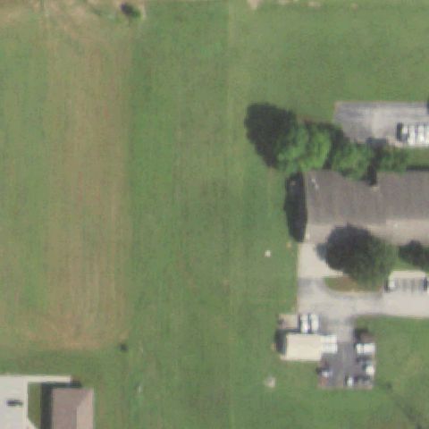
Aerial tile for IL58Not visible

IL58 Jonathan and Julianne Mabry

PRINCETON, IL

41.343058333, -89.436583333

Center shows rural residential homestead with farm buildings and open gravel/dirt; no helipad markings visible.

82% confidence Verify on the map →
Is there really a pad here?
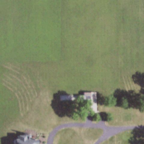
Aerial tile for 0IL3Not visible

0IL3 Osf Healthcare/Urbana

URBANA, IL

40.117746444, -88.225432972

Center of image shows parking lot area and campus grounds; no helipad marking or prepared pad discernible at center.

75% confidence Verify on the map →
Is there really a pad here?
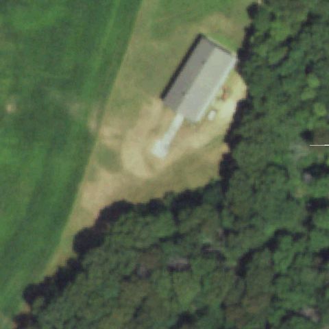
Aerial tile for 3IL7Not visible

3IL7 Koehler

BENSON, IL

40.8884972220001, -89.122475

Center shows open agricultural cropfield with no structures or markings visible.

83% confidence Verify on the map →
Is there really a pad here?
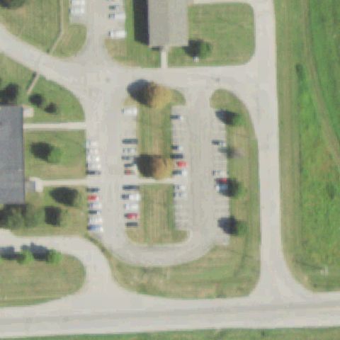
Aerial tile for 2IL4Not visible

2IL4 Abbvie

NORTH CHICAGO, IL

42.2891666670001, -87.8943055559999

Center shows industrial/pharma campus parking lot area with no helipad markings visible.

72% confidence Verify on the map →
Is there really a pad here?
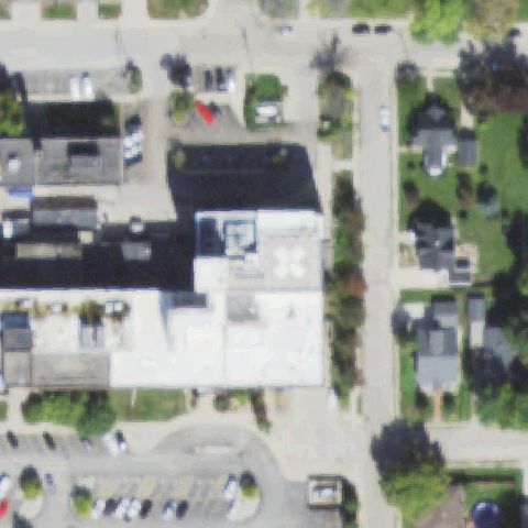
Aerial tile for 2IL5Not visible

2IL5 Crown Point Corporation

MORTON GROVE, IL

42.0242916670001, -87.781188889

Center shows industrial rooftop and adjacent area but no helipad markings or prepared landing surface visible.

70% confidence Verify on the map →
Is there really a pad here?
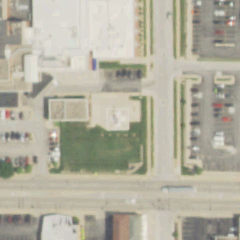
Aerial tile for 9IL3Not visible

9IL3 Quiram

BENSON, IL

40.8501833330001, -89.0713

Center is entirely open agricultural cropfield with no structures or pad markings.

92% confidence Verify on the map →
Is there really a pad here?
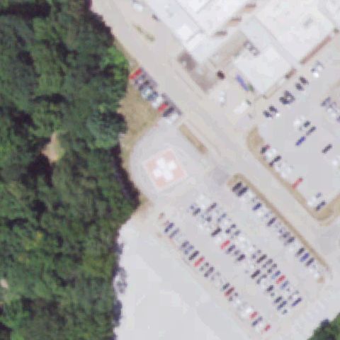
Aerial tile for I26Not visible

I26 Corporal Jason G Pautsch

ROCK ISLAND, IL

41.5099992500001, -90.557889667

Center shows wooded scrubby area with no structures, pads, or markings visible.

85% confidence Verify on the map →
Is there really a pad here?
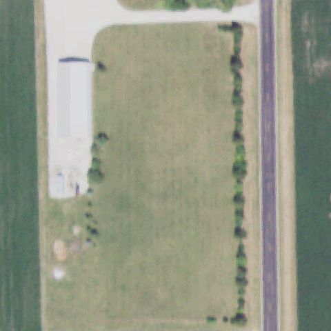
Aerial tile for 28ILNot visible

28IL Mercyhealth Crystal Lake Hospital

CRYSTAL LAKE, IL

42.218203056, -88.2847599999999

Center shows open grassy/agricultural field area with no helipad markings or prepared pad visible.

78% confidence Verify on the map →
Is there really a pad here?
Aerial tile for C26Not visible

C26 Clinton

CLINTON, IL

40.1634916670001, -88.9349999999999

Image shows sandy/silty terrain (likely river area) with no structures or pad markings at center.

88% confidence Verify on the map →
Is there really a pad here?
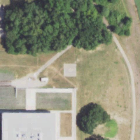
Aerial tile for IL46Not visible

IL46 Adar Ridgeport

WILMINGTON, IL

41.342263889, -88.1963777779999

Center shows plowed agricultural field; a paved area appears at upper-right corner but no helipad at center.

82% confidence Verify on the map →
Is there really a pad here?
Aerial tile for 3IL2Not visible

3IL2 Idoc-Menard

KASKASKIA, IL

37.9118888890001, -89.8378472219999

Center shows open gravel yard of a correctional facility with no helipad markings or prepared pad visible.

75% confidence Verify on the map →
Is there really a pad here?
Aerial tile for IL62Not visible

IL62 Kerry Farms

WINFIELD, IL

41.8559930000001, -88.177238

Center is entirely dense tree canopy with no clearing, pad, or markings visible.

90% confidence Verify on the map →
Is there really a pad here?
Aerial tile for 60LLOff-center

60LL Meml Hospital

BELLEVILLE, IL

38.550680556, -90.0218833329999

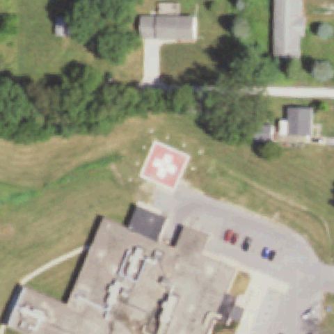
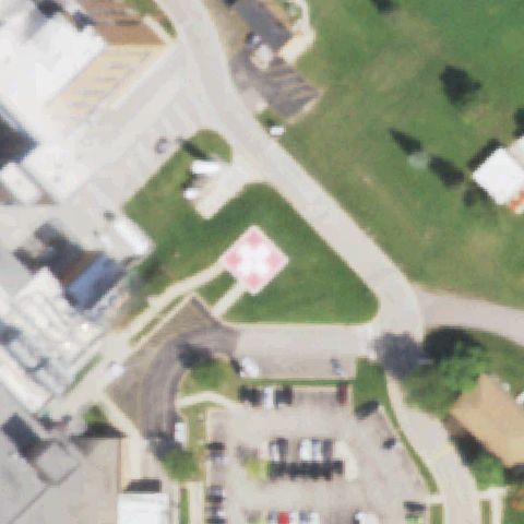
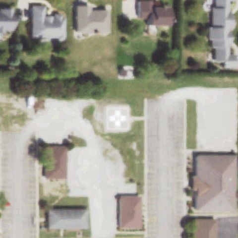
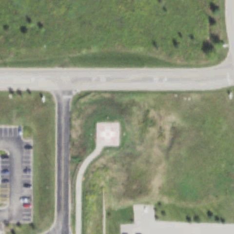
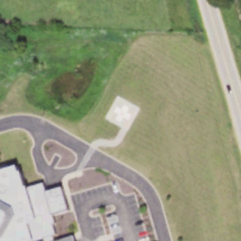
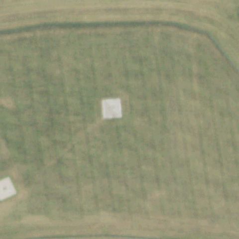
Square pad with cross marking visible in upper-left area of image, offset from center which shows parking lot.

82% confidence Verify on the map →
Is there really a pad here?
Aerial tile for 8IS0Off-center

8IS0 St Joseph's Hospital - Breese

BREESE, IL

38.6268138890001, -89.524083333

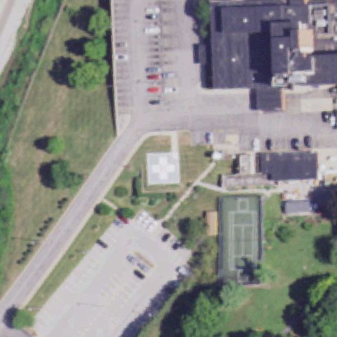
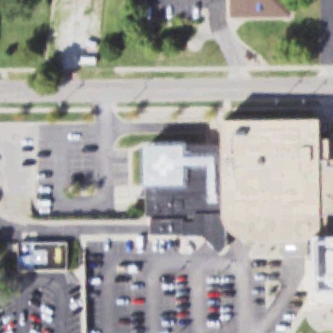
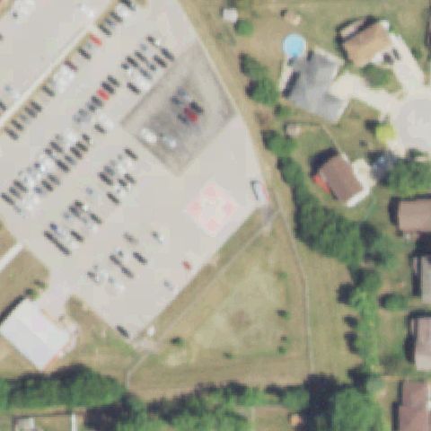
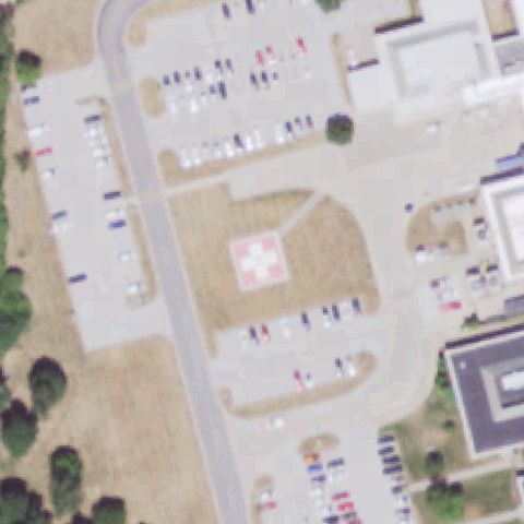
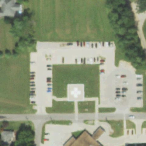
White square pad visible in upper portion of image; center of image is parking/access road, pad is off center.

82% confidence Verify on the map →
Is there really a pad here?
Aerial tile for IL50Off-center

IL50 Meml Hospital

CARTHAGE, IL

40.408333333, -91.1125

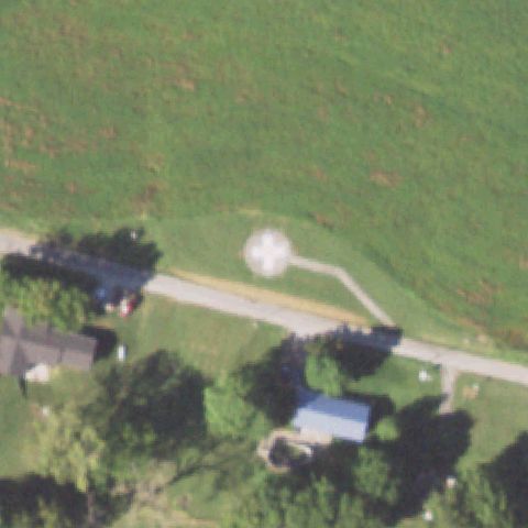
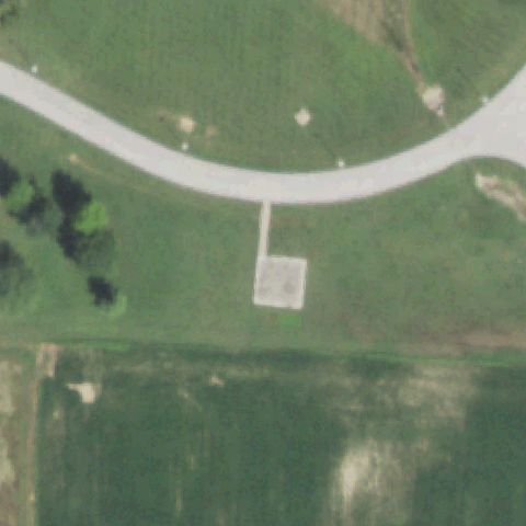
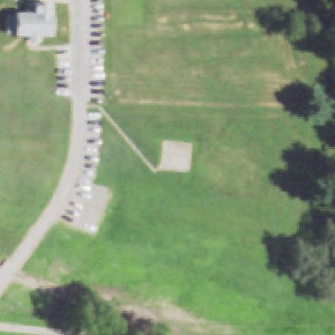
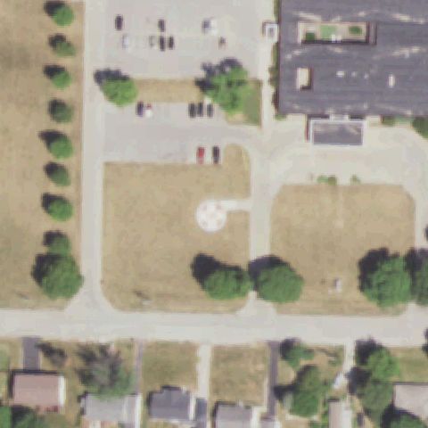
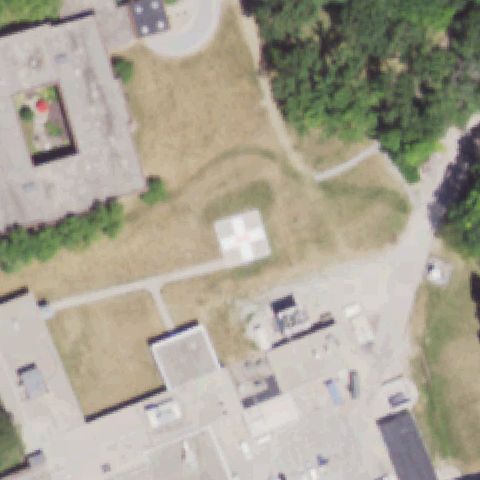
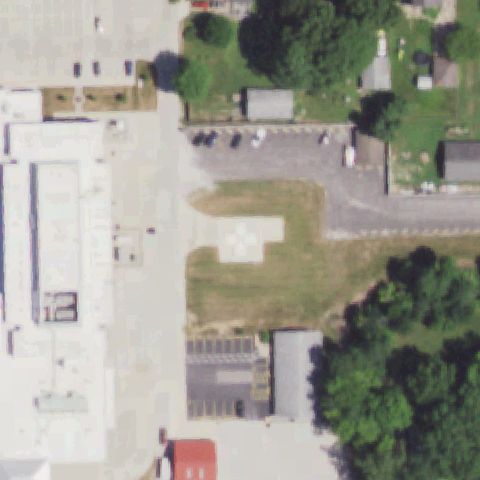
Small white concrete pad with faint cross visible upper-right of center on tan/dry field.

85% confidence Verify on the map →
Is there really a pad here?
Aerial tile for 93ISOff-center

93IS Osf Healthcare Sacred Heart Medical Center

DANVILLE, IL

40.1389055560001, -87.645338889

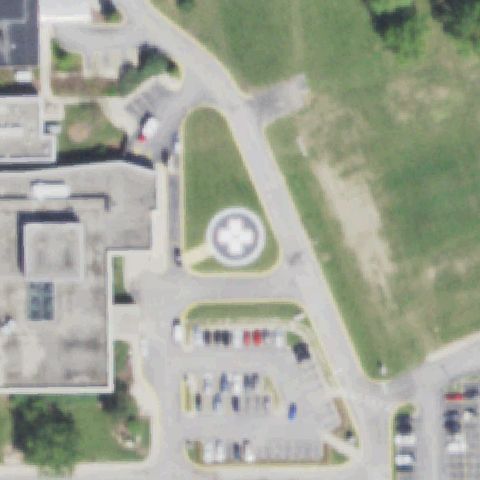
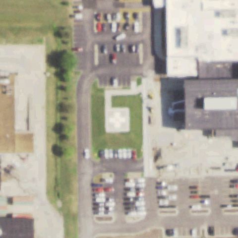
White square pad with dark H/cross marking visible left of center on grass adjacent to hospital.

93% confidence Verify on the map →
Is there really a pad here?
Aerial tile for 9IL1Off-center

9IL1 Durand Ambulance Service

DURAND, IL

42.4307027780001, -89.3311138889999

Small white square concrete pad visible upper-center area, slightly off center; no clear H marking visible but pad structure distinct.

80% confidence Verify on the map →
Is there really a pad here?
Aerial tile for 9IL8Off-center

9IL8 Fairfield Meml Hospital

FAIRFIELD, IL

38.3804555560001, -88.3752361109999

White square pad with H/cross marking visible below center on grass, center of image is the road/building area.

93% confidence Verify on the map →
Is there really a pad here?
Aerial tile for 3LL2Off-center

3LL2 Hammond-Henry Hospital

GENESEO, IL

41.461125, -90.156972222

Small square pad with faint H/cross marking visible upper-center on grass, slightly offset from image center.

82% confidence Verify on the map →
Is there really a pad here?
Aerial tile for LL59Off-center

LL59 Touchette Rgnl Hospital

CENTREVILLE, IL

38.56955, -90.109502778

White concrete square pad on grass slightly southwest of image center, connected by path to hospital parking area.

82% confidence Verify on the map →
Is there really a pad here?
Aerial tile for 78ILOff-center

78IL Dixon Correctional Center

DIXON, IL

41.8728194440001, -89.4839111109999

Concrete square pad visible left of center on open grass near correctional facility driveway.

75% confidence Verify on the map →
Is there really a pad here?
Aerial tile for 8IS4Off-center

8IS4 Hillsboro Area Hospital

HILLSBORO, IL

39.151666667, -89.481388889

H marking on pad visible slightly left of center on grass near Hillsboro Area Hospital.

80% confidence Verify on the map →
Is there really a pad here?
Aerial tile for 0IL5Off-center

0IL5 Osf St Luke Medical Center

KEWANEE, IL

41.2216666670001, -89.947777778

Cross pad marking visible slightly off center near medical center in Kewanee.

82% confidence Verify on the map →
Is there really a pad here?
Aerial tile for 21ILOff-center

21IL Sarah Bush Lincoln Health Center

MATTOON, IL

39.489263889, -88.273858333

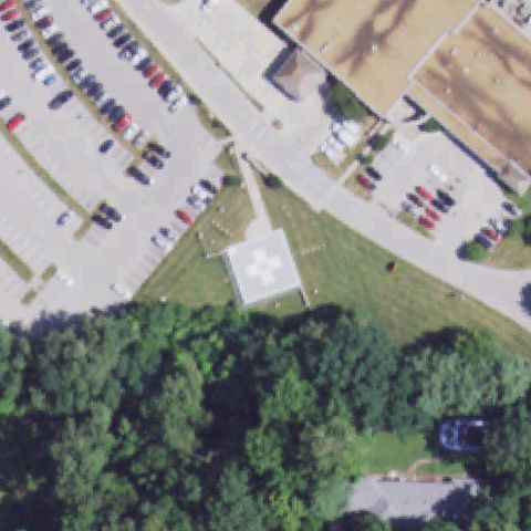
Concrete pad with cross/plus marker visible in lower-center portion of image slightly off from the exact center, adjacent to hospital buildings.

88% confidence Verify on the map →
Is there really a pad here?
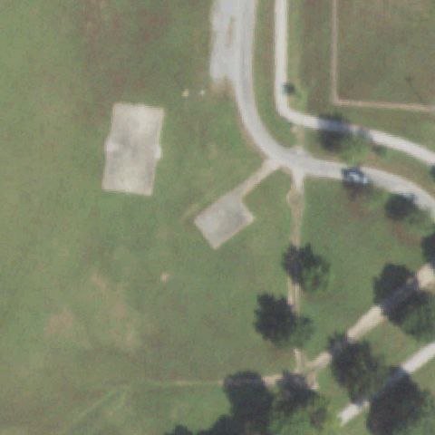
Aerial tile for 4IL6Off-center

4IL6 St Mary's Good Samaritan

MT. VERNON, IL

38.2972222220001, -88.9377777779999

Concrete pad with cross/plus marker visible slightly right of center, on grass area adjacent to hospital building and parking.

90% confidence Verify on the map →
Is there really a pad here?
Aerial tile for 2LL8Off-center

2LL8 Washington County Hospital

NASHVILLE, IL

38.338888889, -89.392222222

Small white square pad visible at left-center edge of image near hospital building, slightly off from image center which is open field.

78% confidence Verify on the map →
Is there really a pad here?
Aerial tile for 8IL4Off-center

8IL4 Mercy Harvard Hospital

HARVARD, IL

42.4265583330001, -88.6059

Concrete pad with white cross/plus visible at lower-center of image, slightly off from exact center, on grass area next to hospital.

88% confidence Verify on the map →
Is there really a pad here?
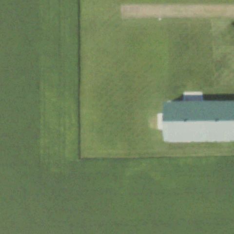
Aerial tile for 84ISOff-center

84IS Jacksonville Memorial Hospital

JACKSONVILLE, IL

39.7477277780001, -90.2603583329999

Square concrete pad with cross/plus marker visible slightly left of center on grass area adjacent to hospital buildings.

85% confidence Verify on the map →
Is there really a pad here?
Aerial tile for 27ILOff-center

27IL Jersey Community Hospital

JERSEYVILLE, IL

39.1102666670001, -90.343888889

Small square pad with cross/plus marker visible left of center on grass near hospital building.

85% confidence Verify on the map →
Is there really a pad here?
Aerial tile for 4IL0Off-center

4IL0 Litchfield Fire Dept West Side Emergency Services

LITCHFIELD, IL

39.1605555560001, -89.665833333

Small square pad/marker visible above a building slightly off center; appears to be a prepared landing area near the fire station.

75% confidence Verify on the map →
Is there really a pad here?
Aerial tile for 5IL6Off-center

5IL6 Deaconess Illinois Medical Center

MARION, IL

37.742666667, -88.9924722219999

Square concrete pad with cross/plus marker visible slightly off center to the right on grass near hospital buildings.

85% confidence Verify on the map →
Is there really a pad here?
Aerial tile for 14ILOff-center

14IL Osf St Paul Medical Center

MENDOTA, IL

41.5525000000001, -89.086388889

Concrete pad with cross/plus marker visible at center-left on grass near hospital, with a connecting path from building.

87% confidence Verify on the map →
Is there really a pad here?
Aerial tile for 40LLOff-center

40LL Kirby Medical Center

MONTICELLO, IL

40.0600000000001, -88.5599999999999

Small concrete pad with cross/plus marker visible at upper-right of center near hospital entrance area.

80% confidence Verify on the map →
Is there really a pad here?
Aerial tile for 5LL9Off-center

5LL9 Morrison Community Hospital

MORRISON, IL

41.8094444440001, -89.9575

Concrete pad with cross/plus marker visible slightly off center; on grass at hospital grounds.

85% confidence Verify on the map →
Is there really a pad here?
Aerial tile for 2IL6Off-center

2IL6 McDowell

SIDELL, IL

39.8882972220001, -87.816538889

Clear H marking on a concrete pad with taxiway line, slightly left of image center.

95% confidence Verify on the map →
Is there really a pad here?
Aerial tile for 3IL3Off-center

3IL3 Stillman Fire

STILLMAN VALLEY, IL

42.105744444, -89.185583333

Small concrete pad visible slightly off center with faint square markings near fire station.

80% confidence Verify on the map →
Is there really a pad here?
Aerial tile for IS29Off-center

IS29 Osf Center For Health - Streator

STREATOR, IL

41.1133722220001, -88.835222222

White cross/H pad visible on rooftop of hospital building slightly right of image center.

88% confidence Verify on the map →
Is there really a pad here?
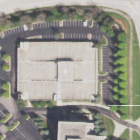
Aerial tile for IL26Off-center

IL26 Sbl Fayette County Hospital

VANDALIA, IL

38.9703361110001, -89.099288889

Concrete ground pad with cross marking visible slightly below and right of center near hospital.

82% confidence Verify on the map →
Is there really a pad here?
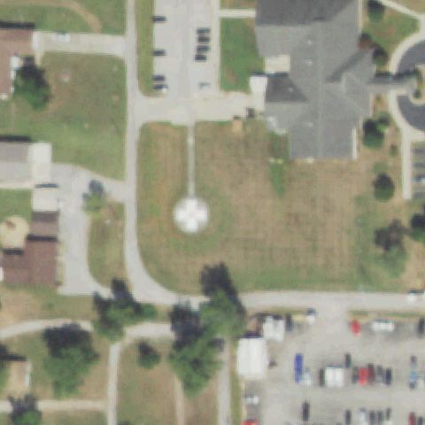
Aerial tile for LL29Off-center

LL29 Pana Community Hospital

PANA, IL

39.378886111, -89.084441667

Ground pad with white cross visible just south of image center outside hospital building.

87% confidence Verify on the map →
Is there really a pad here?
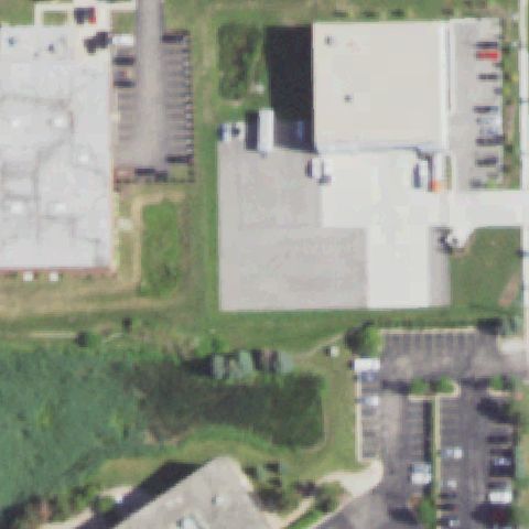
Aerial tile for 8LL5Off-center

8LL5 Horizon Health

PARIS, IL

39.607108333, -87.675966667

Pad with H and cross marking visible slightly off center near hospital/health center.

83% confidence Verify on the map →
Is there really a pad here?
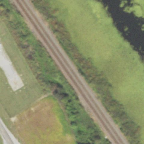
Aerial tile for IL04Off-center

IL04 Carle Health - Methodist

PEORIA, IL

40.6997138890001, -89.594108333

Ground pad with H marking visible slightly off center near hospital campus.

85% confidence Verify on the map →
Is there really a pad here?
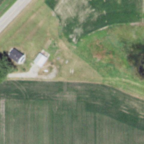
Aerial tile for IS67Off-center

IS67 Osf St Clare Medical Center

PRINCETON, IL

41.3668166670001, -89.456158333

Concrete pad with H marking visible, slightly off center to the lower portion of image.

85% confidence Verify on the map →
Is there really a pad here?
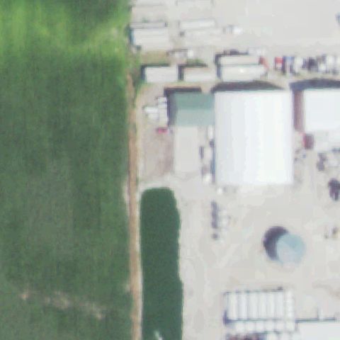
Aerial tile for 09ISOff-center

09IS Swedish American

ROCKFORD, IL

42.2658638890001, -89.0735583329999

Ground pad with cross visible off center lower-right of image near hospital building.

82% confidence Verify on the map →
Is there really a pad here?
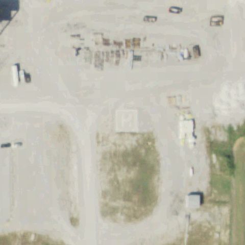
Aerial tile for IS46Off-center

IS46 Cgh Medical Center

STERLING, IL

41.8028580000001, -89.697194

Concrete pad with H visible slightly off center south of hospital complex.

82% confidence Verify on the map →
Is there really a pad here?
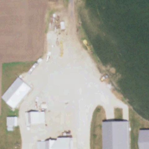
Aerial tile for 29LLOff-center

29LL Monroe County Ambulance Service

WATERLOO, IL

38.3392777780001, -90.163861111

Small concrete pad with cross marking visible slightly off center in rural setting.

80% confidence Verify on the map →
Is there really a pad here?
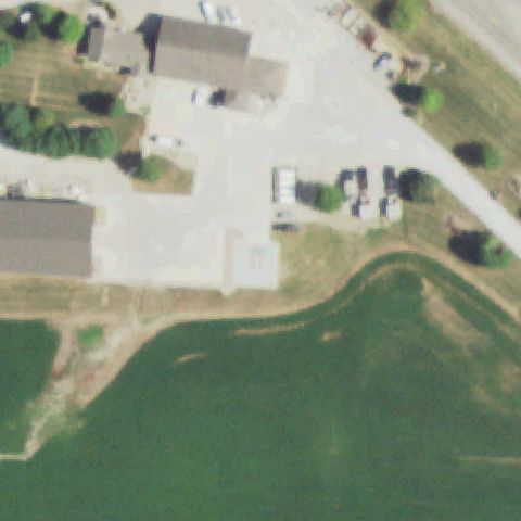
Aerial tile for 62LLOff-center

62LL Rush Copley Emergency Center

YORKVILLE, IL

41.6594416670001, -88.469561111

Concrete ground pad with white cross/H marker clearly visible, positioned slightly left of image center near hospital driveway.

92% confidence Verify on the map →
Is there really a pad here?
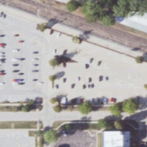
Aerial tile for 43ILOff-center

43IL Vertiport Chicago

CHICAGO, IL

41.8621305560001, -87.670266667

Large concrete pad with H-in-circle marker visible toward upper-center of image; pad is slightly off center.

90% confidence Verify on the map →
Is there really a pad here?
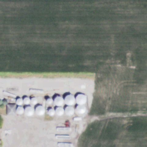
Aerial tile for 61ILOff-center

61IL Meml Hosp East Shiloh

SHILOH, IL

38.5742500000001, -89.906811111

Prominent red-and-white cross circle marker on concrete ground pad visible slightly left of image center.

93% confidence Verify on the map →
Is there really a pad here?
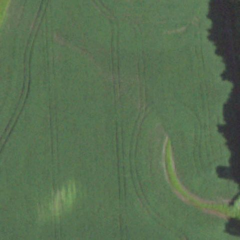
Aerial tile for 23ILUncertain

23IL Amita Health-Alexian Brothers Medical Center

ELK GROVE VILLAGE, IL

42.0047361110001, -88.017880556

Large rooftop complex at center shows no distinct helipad markings or designated pad area visible.

65% confidence Verify on the map →
Is there really a pad here?
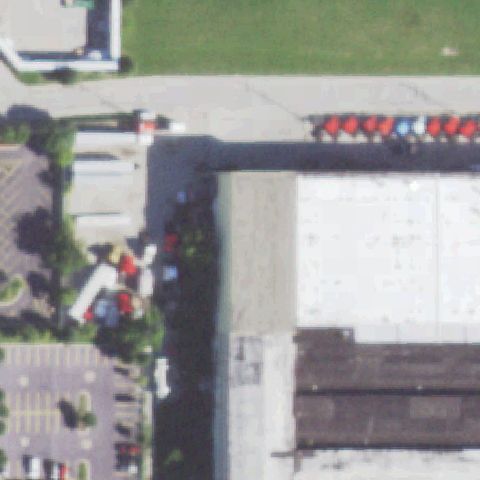
Aerial tile for 01ILUncertain

01IL Hoopeston Community Meml Hospital

HOOPESTON, IL

40.457897222, -87.658111111

Center shows generic hospital buildings and parking lot with no distinct helipad marking visible.

68% confidence Verify on the map →
Is there really a pad here?
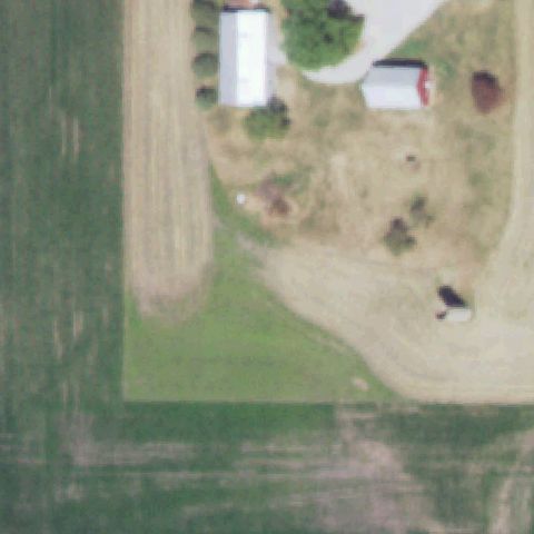
Aerial tile for 18ILUncertain

18IL Amita Health Medical Center La Grange

LA GRANGE, IL

41.7969944440001, -87.887283333

Dense multi-building hospital complex visible; image center shows rooftops and parking but no identifiable helipad marking.

68% confidence Verify on the map →
Is there really a pad here?
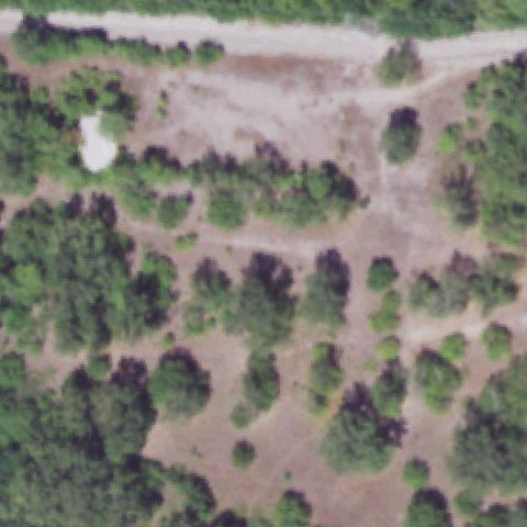
Aerial tile for 7IL1Uncertain

7IL1 Headings

NEW BEDFORD, IL

41.605111111, -89.740611111

Image is heavily blurred/overexposed showing what appears to be snow-covered or water terrain; no helipad discernible.

60% confidence Verify on the map →
Is there really a pad here?
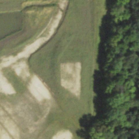
Aerial tile for IL72Uncertain

IL72 Hawg Pit Lz

GRAFTON, IL

38.9688333330001, -90.44425

Center shows sandy/gravel area near water (likely river LZ) but no painted markers or prepared pad structure visible.

68% confidence Verify on the map →
Is there really a pad here?

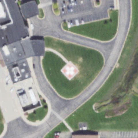
Aerial tile for 12ISConfirmed

12IS Genesis Medical Ctr-Aledo

ALEDO, IL

41.2061, -90.759411111

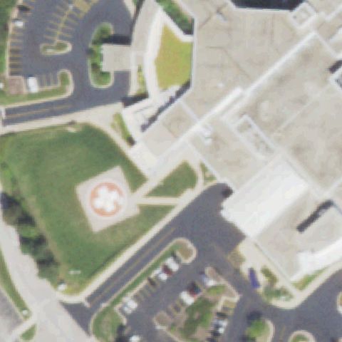
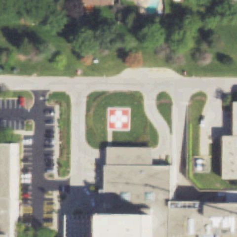
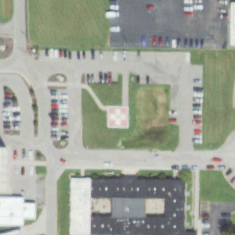
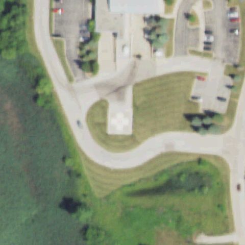
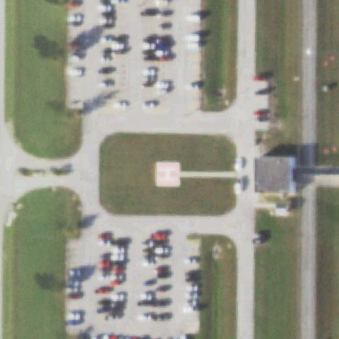
Large red square pad with white H/cross marking clearly visible on grass near image center.

✓ Confirmed by AI vision with Claude Opus 4.8

97% confidence Verify on the map →
Is there really a pad here?
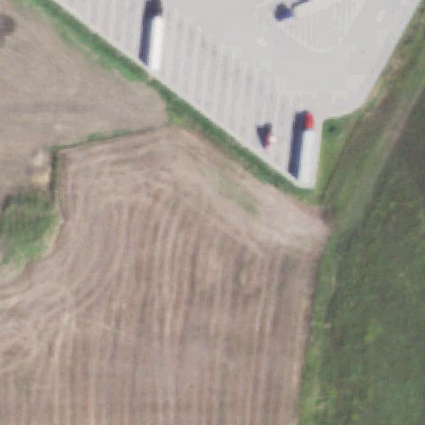
Aerial tile for 03ISConfirmed

03IS Osf St Anthony's Health Center

ALTON, IL

38.9076666670001, -90.1744555559999

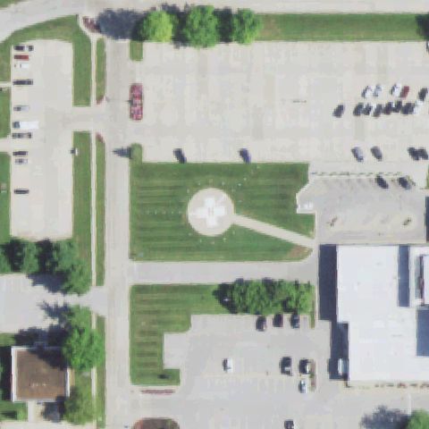
White square pad with H/cross marking clearly visible on grass slightly left of center.

✓ Confirmed by AI vision with Claude Opus 4.8

95% confidence Verify on the map →
Is there really a pad here?
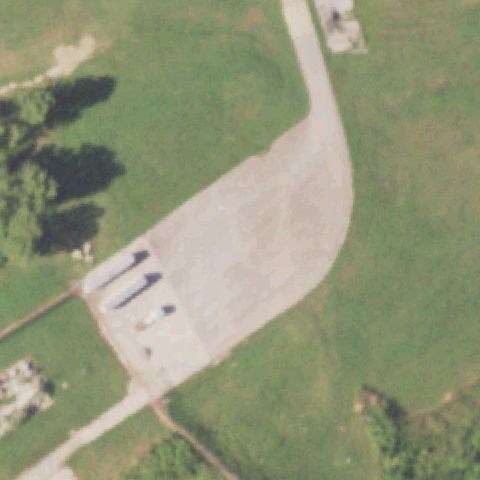
Aerial tile for IL21Confirmed

IL21 Amita Health Mercy Medical Center/Aurora

AURORA, IL

41.785811111, -88.324533333

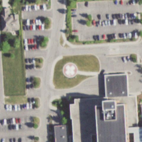
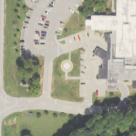
Circular ground pad with prominent H/cross marking visible on grass near image center.

✓ Confirmed by AI vision with Claude Opus 4.8

96% confidence Verify on the map →
Is there really a pad here?
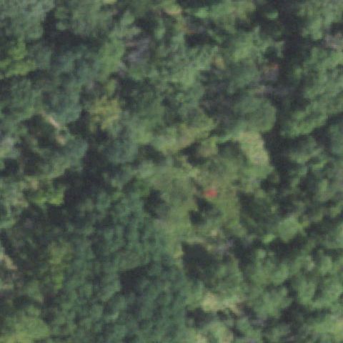
Aerial tile for 7IS8Confirmed

7IS8 Rush-Copley Medical Center

AURORA, IL

41.7285805560001, -88.27165

Red-outlined circular ground pad with white H/cross clearly visible on grass near center.

✓ Confirmed by AI vision with Claude Opus 4.8

95% confidence Verify on the map →
Is there really a pad here?
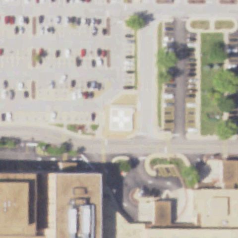
Aerial tile for IL08Confirmed

IL08 Advocate Good Shepherd Hospital

BARRINGTON, IL

42.1957583330001, -88.171719444

Red square pad with white cross marking clearly visible on grass near image center.

✓ Confirmed by AI vision with Claude Opus 4.8

96% confidence Verify on the map →
Is there really a pad here?
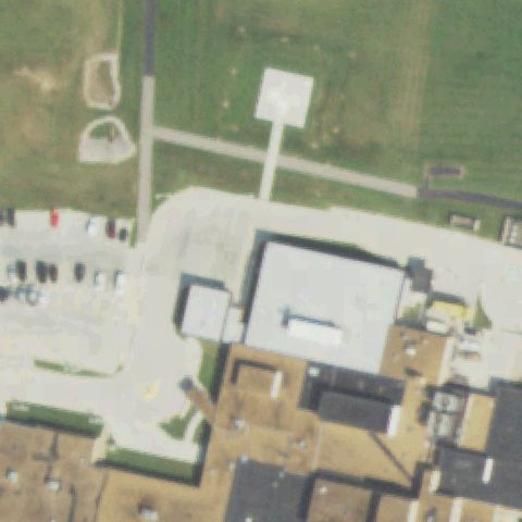
Aerial tile for 36ILConfirmed

36IL Batchtown

BATCHTOWN, IL

39.033333333, -90.666127778

Small round concrete pad with H marking visible on grass near center, slightly faint but distinct.

✓ Confirmed by AI vision with Claude Opus 4.8

88% confidence Verify on the map →
Is there really a pad here?
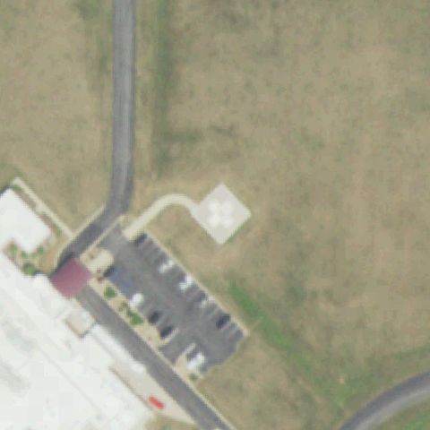
Aerial tile for 1IL3Confirmed

1IL3 Alton Meml Hospital

ALTON, IL

38.898627778, -90.1596888889999

White square pad with clear H/cross marking on grass, prominently visible near image center.

✓ Confirmed by AI vision with Claude Opus 4.8

96% confidence Verify on the map →
Is there really a pad here?
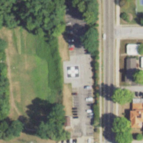
Aerial tile for 7IL4Confirmed

7IL4 Northwest Community Hospital

ARLINGTON HEIGHTS, IL

42.067747222, -87.993488889

Red square pad with white H/cross marking clearly visible on hospital rooftop near image center.

✓ Confirmed by AI vision with Claude Opus 4.8

97% confidence Verify on the map →
Is there really a pad here?
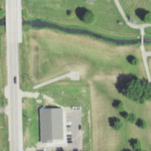
Aerial tile for 53ISConfirmed

53IS Franklin Hospital

BENTON, IL

38.0094444440001, -88.918611111

White square pad with H/cross marking visible on grass left of center adjacent to hospital building.

✓ Confirmed by AI vision with Claude Opus 4.8

94% confidence Verify on the map →
Is there really a pad here?
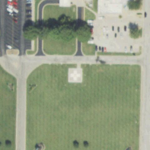
Aerial tile for IL40Confirmed

IL40 Osf St Joseph Medical Center

BLOOMINGTON, IL

40.4822577780001, -88.9564636109999

White square pad with clear H/cross marking visible on grass in lower-center area of image.

✓ Confirmed by AI vision with Claude Opus 4.8

93% confidence Verify on the map →
Is there really a pad here?
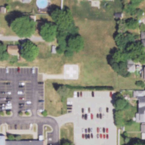
Aerial tile for 45ISConfirmed

45IS Adventist Bolingbrook Hospital

BOLINGBROOK, IL

41.6809111110001, -88.0863138889999

White square pad with H/cross marking clearly visible on open grass field near center.

✓ Confirmed by AI vision with Claude Opus 4.8

93% confidence Verify on the map →
Is there really a pad here?
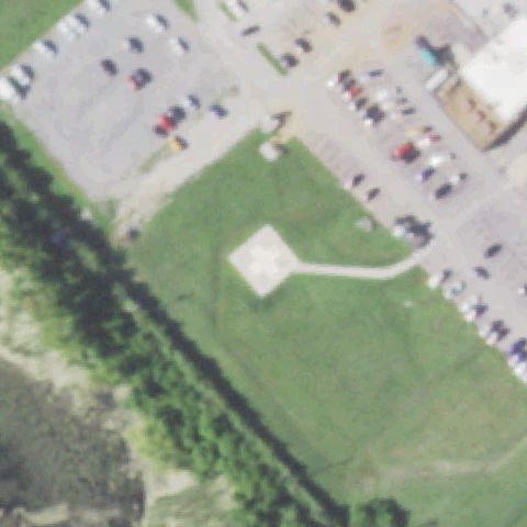
Aerial tile for 0IL1Confirmed

0IL1 Loyola University Medical Center

MAYWOOD, IL

41.861077778, -87.836505556

Very prominent red square pad with large white H/cross marking on concrete near image center.

✓ Confirmed by AI vision with Claude Opus 4.8

98% confidence Verify on the map →
Is there really a pad here?
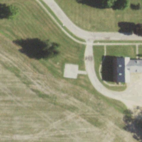
Aerial tile for 4IL7Confirmed

4IL7 Brussels

BRUSSELS, IL

38.945872222, -90.5871

Circular concrete pad visible on grass near image center, H marking faint but pad shape distinct.

✓ Confirmed by AI vision with Claude Opus 4.8

88% confidence Verify on the map →
Is there really a pad here?
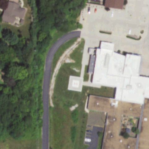
Aerial tile for 5IS1Confirmed

5IS1 Meml Hosp of Carbondale

CARBONDALE, IL

37.7273916670001, -89.2212777779999

White H/cross marking visible on dark hospital rooftop near image center.

✓ Confirmed by AI vision with Claude Opus 4.8

90% confidence Verify on the map →
Is there really a pad here?
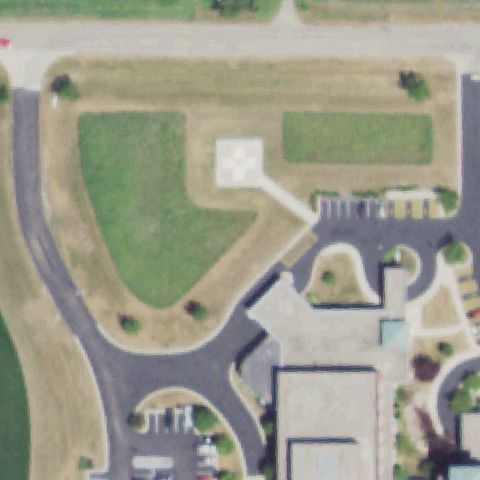
Aerial tile for 44LLConfirmed

44LL Carlinville Area Hospital

CARLINVILLE, IL

39.3002777780001, -89.8836111109999

Square pad with red H/cross marking clearly visible on grass north of hospital near image center.

✓ Confirmed by AI vision with Claude Opus 4.8

93% confidence Verify on the map →
Is there really a pad here?
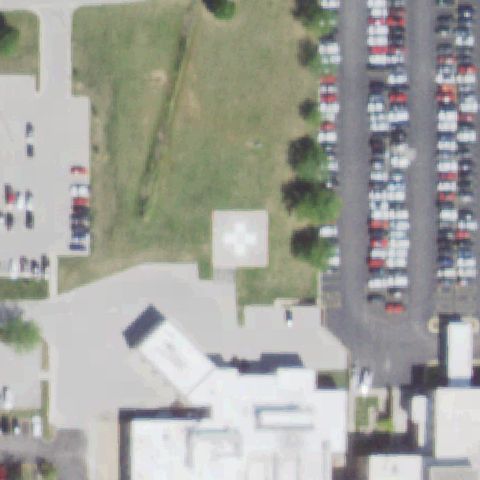
Aerial tile for 5IS2Confirmed

5IS2 Boyd Hospital

CARROLLTON, IL

39.295957, -90.414141

Small concrete pad area visible on grass near center; markings faint but pad structure distinct.

✓ Confirmed by AI vision with Claude Opus 4.8

75% confidence Verify on the map →
Is there really a pad here?
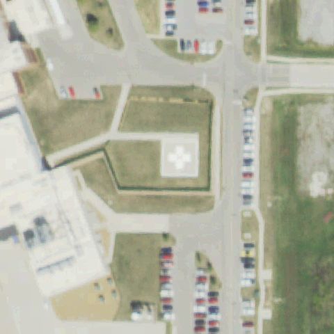
Aerial tile for 98ILConfirmed

98IL St Mary's Good Samaritan Hospital

CENTRALIA, IL

38.531666667, -89.119444444

Red square pad with white H/cross marking clearly visible on grass near image center.

✓ Confirmed by AI vision with Claude Opus 4.8

95% confidence Verify on the map →
Is there really a pad here?
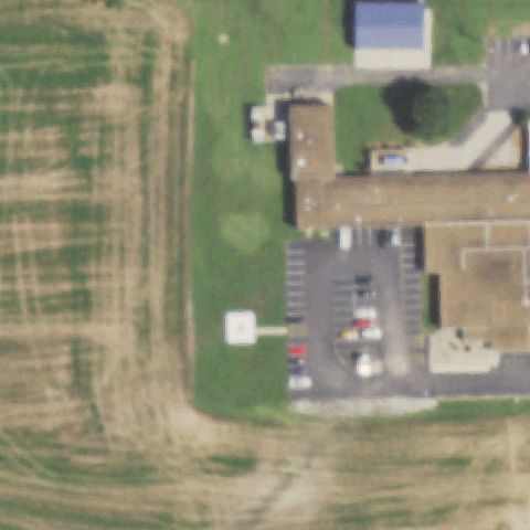
Aerial tile for IL79Confirmed

IL79 Resurrection Medical Center

CHICAGO, IL

41.9863500000001, -87.814980556

Bright red circular pad with white H/cross marking very clearly visible on grass near image center.

✓ Confirmed by AI vision with Claude Opus 4.8

97% confidence Verify on the map →
Is there really a pad here?
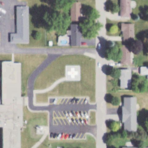
Aerial tile for 10LLConfirmed

10LL Chicago Police Marine

CHICAGO, IL

41.887380556, -87.609738889

Clear H marking on concrete pier surface near image center, Chicago Police Marine waterfront facility.

✓ Confirmed by AI vision with Claude Opus 4.8

93% confidence Verify on the map →
Is there really a pad here?
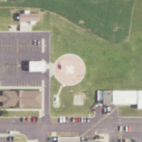
Aerial tile for 4IS3Confirmed

4IS3 The University of Chicago Medicine

CHICAGO, IL

41.7910027780001, -87.605744444

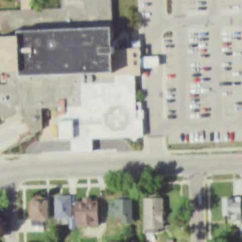
Large H/cross marking on white flat hospital rooftop clearly visible near image center.

✓ Confirmed by AI vision with Claude Opus 4.8

95% confidence Verify on the map →
Is there really a pad here?
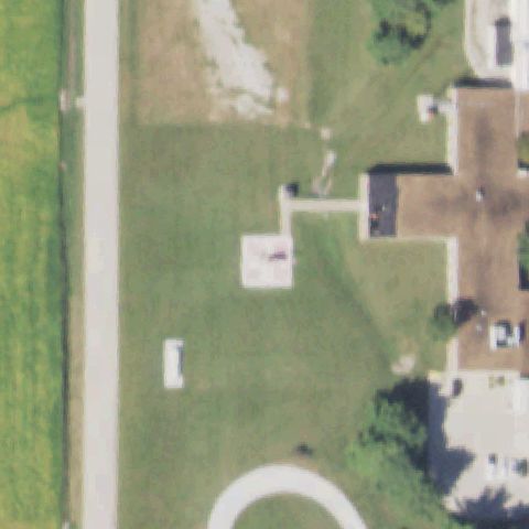
Aerial tile for 74ISConfirmed

74IS Quad City Med Force

COLONA, IL

41.4940861110001, -90.312452778

Small red marking visible on building rooftop near center; consistent with a helipad H marker though faint.

✓ Confirmed by AI vision with Claude Opus 4.8

72% confidence Verify on the map →
Is there really a pad here?
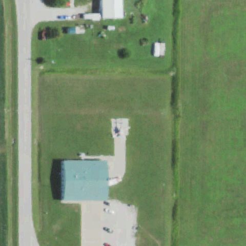
Aerial tile for 8IS6Confirmed

8IS6 Decatur Meml Hospital

DECATUR, IL

39.866941667, -88.961469444

White H/cross pad marking visible on hospital rooftop near image center.

✓ Confirmed by AI vision with Claude Opus 4.8

93% confidence Verify on the map →
Is there really a pad here?
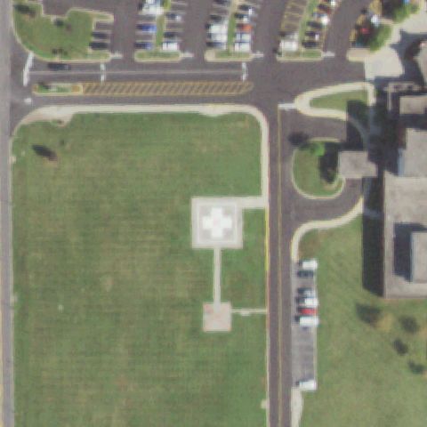
Aerial tile for 49LLConfirmed

49LL Decatur Conference Center and Hotel

DECATUR, IL

39.8447333330001, -89.025263889

Small square concrete pad with very faint triangle/H marking visible on grass near center.

✓ Confirmed by AI vision with Claude Opus 4.8

78% confidence Verify on the map →
Is there really a pad here?
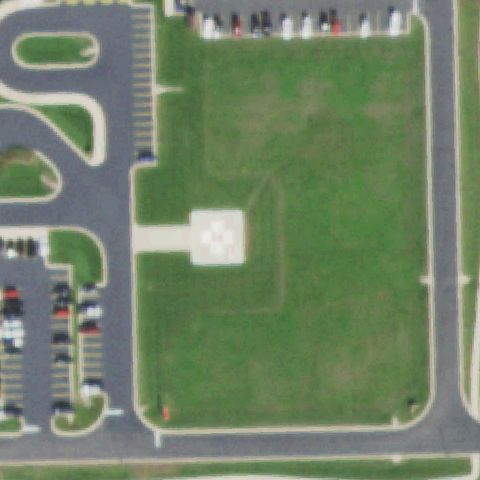
Aerial tile for 0IL6Confirmed

0IL6 Northwestern Memorial Healthcare

DE KALB, IL

41.9606555560001, -88.721772222

Red diamond/square pad with white H/cross marking clearly visible on grass near image center.

✓ Confirmed by AI vision with Claude Opus 4.8

96% confidence Verify on the map →
Is there really a pad here?
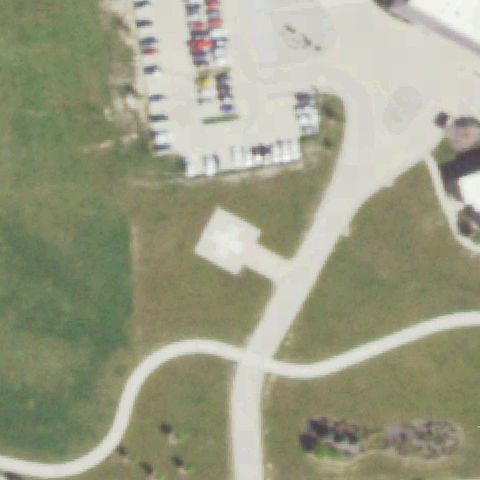
Aerial tile for 11ISConfirmed

11IS St Anthony Meml Hospital

EFFINGHAM, IL

39.124663889, -88.5502499999999

Circular red pad with H marking visible on grass near image center.

✓ Confirmed by AI vision with Claude Opus 4.8

90% confidence Verify on the map →
Is there really a pad here?
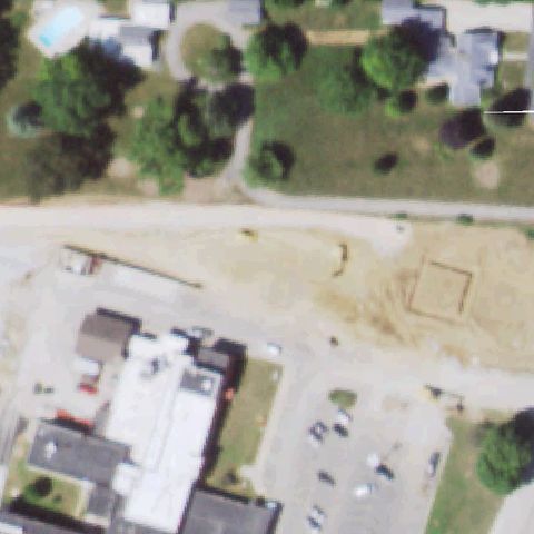
Aerial tile for 5IL3Confirmed

5IL3 Osf St. Mary South Campus

GALESBURG, IL

40.955683333, -90.365786111

White H/cross pad marking visible on white flat hospital rooftop near left-center of image.

✓ Confirmed by AI vision with Claude Opus 4.8

93% confidence Verify on the map →
Is there really a pad here?
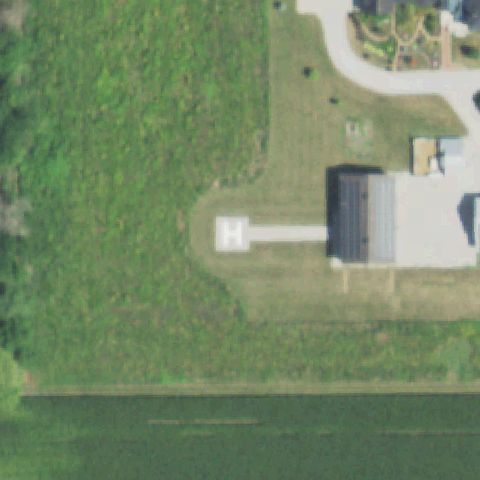
Aerial tile for IL89Confirmed

IL89 Osf St Mary Medical Center - Galesburg

GALESBURG, IL

40.9866666670001, -90.361388889

Circular concrete pad with faint markings visible near image center on dry/bare ground.

✓ Confirmed by AI vision with Claude Opus 4.8

85% confidence Verify on the map →
Is there really a pad here?
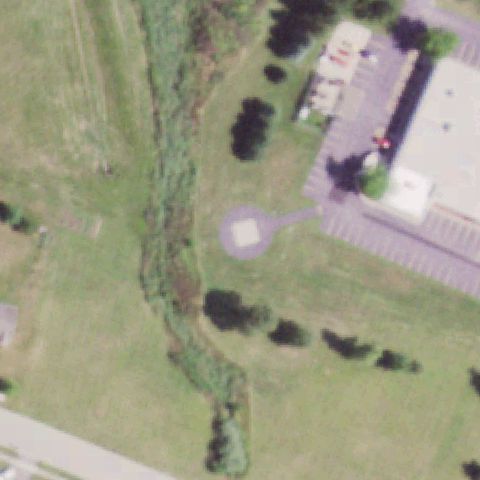
Aerial tile for 76ILConfirmed

76IL Northwestern Medicine Delnor Hospital

GENEVA, IL

41.8872666670001, -88.3447277779999

Circular concrete pad with markings visible inside a loop road near image center.

✓ Confirmed by AI vision with Claude Opus 4.8

90% confidence Verify on the map →
Is there really a pad here?
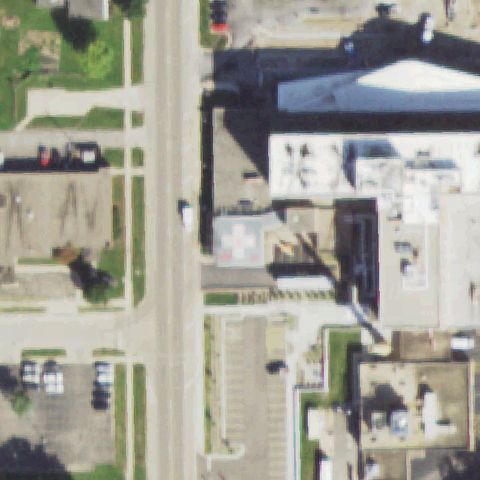
Aerial tile for 9IS8Confirmed

9IS8 Gibson Area Hospital

GIBSON CITY, IL

40.4796527780001, -88.36945

White square pad with H/cross marking clearly visible on concrete near image center.

✓ Confirmed by AI vision with Claude Opus 4.8

93% confidence Verify on the map →
Is there really a pad here?
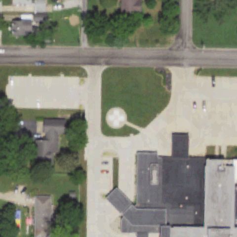
Aerial tile for 97ILConfirmed

97IL Graham Hospital

CANTON, IL

40.553025, -90.039796

White H/cross marking on flat white hospital rooftop visible near image center.

✓ Confirmed by AI vision with Claude Opus 4.8

93% confidence Verify on the map →
Is there really a pad here?
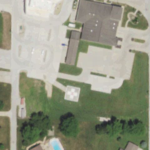
Aerial tile for 6IL8Confirmed

6IL8 Centralia Correctional Center

CENTRALIA, IL

38.5544444440001, -89.196388889

Distinct square concrete pad visible on grass near image center; no clear H marking but prepared pad evident.

✓ Confirmed by AI vision with Claude Opus 4.8

82% confidence Verify on the map →
Is there really a pad here?
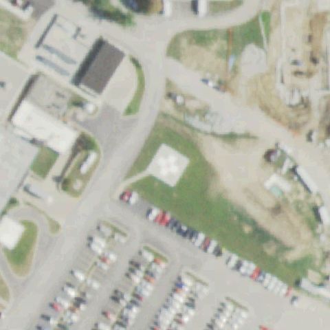
Aerial tile for 25ISConfirmed

25IS Shag Bark Farms

CHATHAM, IL

39.706944444, -89.743333333

Small square concrete pad visible near center of image adjacent to farm structures on open grass.

✓ Confirmed by AI vision with Claude Opus 4.8

65% confidence Verify on the map →
Is there really a pad here?
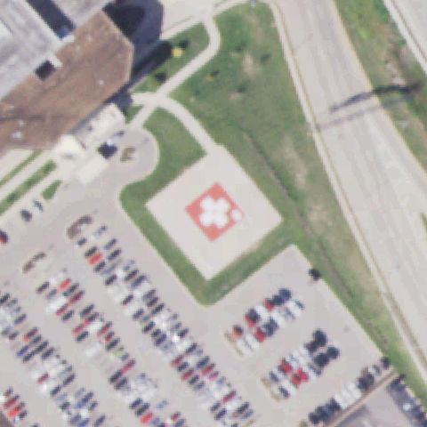
Aerial tile for LL35Confirmed

LL35 Chicago Fire Dept Air Sea Rescue

CHICAGO, IL

41.7244111110001, -87.526397222

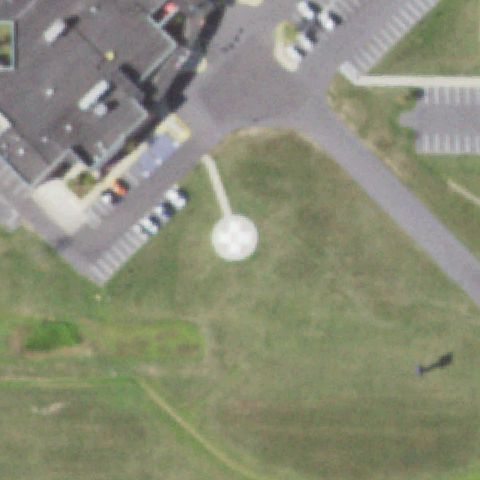
Clear H marking on concrete apron at center with a helicopter visibly parked on the pad.

✓ Confirmed by AI vision with Claude Opus 4.8

95% confidence Verify on the map →
Is there really a pad here?
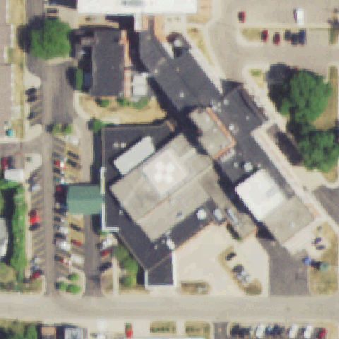
Aerial tile for 75ISConfirmed

75IS Lurie Childrens Hospital

CHICAGO, IL

41.896469, -87.621538

Circular touchdown marker visible on rooftop at image center in dense urban hospital block.

✓ Confirmed by AI vision with Claude Opus 4.8

85% confidence Verify on the map →
Is there really a pad here?
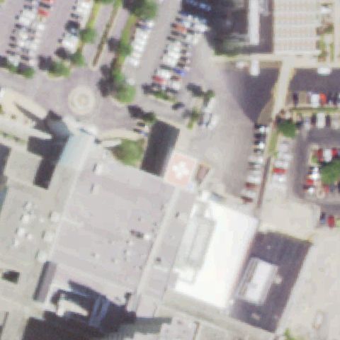
Aerial tile for IL77Confirmed

IL77 Advocate Christ Medical Center

CHICAGO/OAK LAWN/, IL

41.7231583330001, -87.732805556

Faint circular rooftop pad marking visible at center on large hospital rooftop.

✓ Confirmed by AI vision with Claude Opus 4.8

80% confidence Verify on the map →
Is there really a pad here?
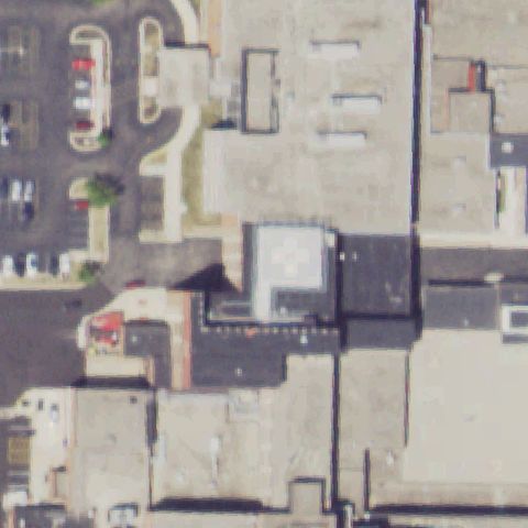
Aerial tile for 4H1Confirmed

4H1 Schaumburg Muni Helistop

CHICAGO/SCHAUMBURG, IL

42.0477861110001, -88.052655556

Distinct square concrete pad with T-shaped taxiway visible on open ground near road intersection at center.

✓ Confirmed by AI vision with Claude Opus 4.8

88% confidence Verify on the map →
Is there really a pad here?
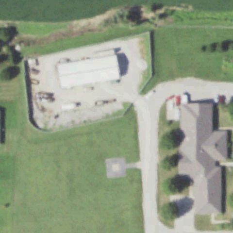
Aerial tile for IL18Confirmed

IL18 Crystal Lake Holiday Inn

CRYSTAL LAKE, IL

42.220147222, -88.283002778

Round concrete pad with circle marking visible at center on dark asphalt apron adjacent to parking.

✓ Confirmed by AI vision with Claude Opus 4.8

85% confidence Verify on the map →
Is there really a pad here?
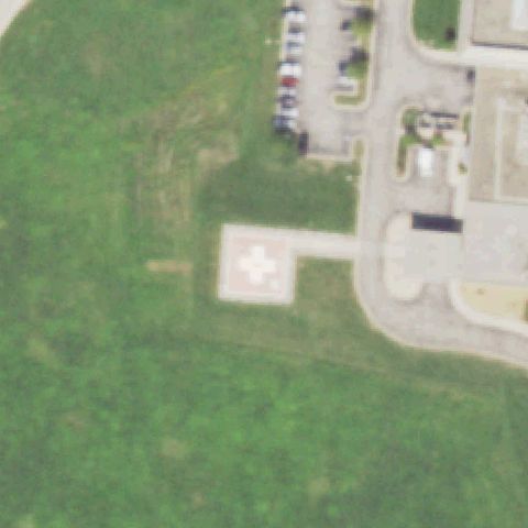
Aerial tile for IL00Confirmed

IL00 Welch

DANVILLE, IL

40.1003527780001, -87.5748055559999

Small circular pad on concrete visible just below center, connected by path to small building on open grass.

✓ Confirmed by AI vision with Claude Opus 4.8

70% confidence Verify on the map →
Is there really a pad here?
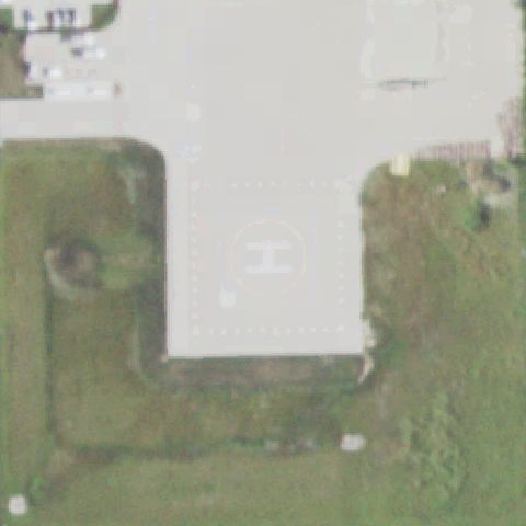
Aerial tile for 7IS4Confirmed

7IS4 Danville Correctional Center

DANVILLE, IL

40.1317666670001, -87.5347166669999

Square pad with faint H marking visible at center on grass near correctional facility parking area.

✓ Confirmed by AI vision with Claude Opus 4.8

82% confidence Verify on the map →
Is there really a pad here?
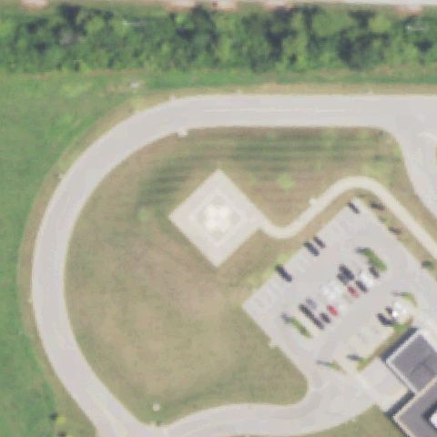
Aerial tile for 6IS5Confirmed

6IS5 Holy Family Medical Center

DES PLAINES, IL

42.0550283330001, -87.891455278

Ground pad with white circle marking visible at center adjacent to hospital complex.

✓ Confirmed by AI vision with Claude Opus 4.8

78% confidence Verify on the map →
Is there really a pad here?
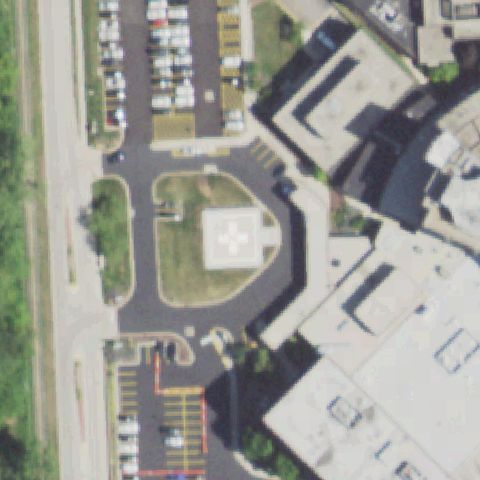
Aerial tile for 49ISConfirmed

49IS Osf Saint Katharine Medical Center

DIXON, IL

41.844394444, -89.479366667

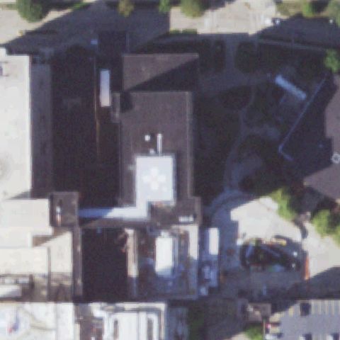
Large circular pad with cross/circle marking clearly visible on hospital rooftop at image center.

✓ Confirmed by AI vision with Claude Opus 4.8

88% confidence Verify on the map →
Is there really a pad here?
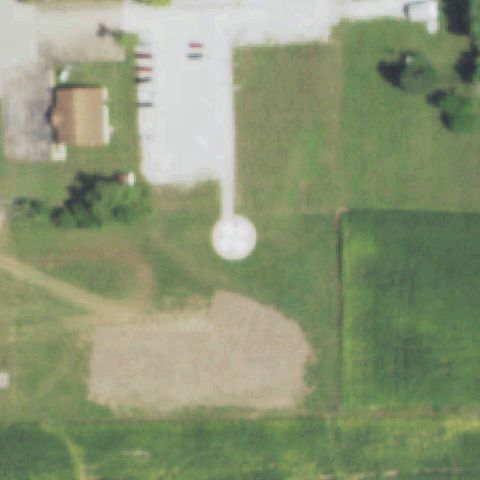
Aerial tile for 0IL4Confirmed

0IL4 Advocate Good Samaritan Hospital

DOWNERS GROVE, IL

41.818888889, -88.007777778

Large cross/plus marking clearly visible on rooftop at image center of Downers Grove hospital complex.

✓ Confirmed by AI vision with Claude Opus 4.8

88% confidence Verify on the map →
Is there really a pad here?
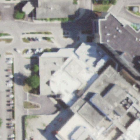
Aerial tile for 14ISConfirmed

14IS Marshall Browning Hospital

DU QUOIN, IL

38.025236111, -89.237011111

Square concrete pad with clear H-cross markings visible at center on open grass near hospital.

✓ Confirmed by AI vision with Claude Opus 4.8

90% confidence Verify on the map →
Is there really a pad here?
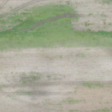
Aerial tile for IS20Confirmed

IS20 St Joseph Hospital

ELGIN, IL

42.036552778, -88.326433333

Ground pad with prominent cross/H marking visible at center on grass adjacent to hospital.

✓ Confirmed by AI vision with Claude Opus 4.8

87% confidence Verify on the map →
Is there really a pad here?
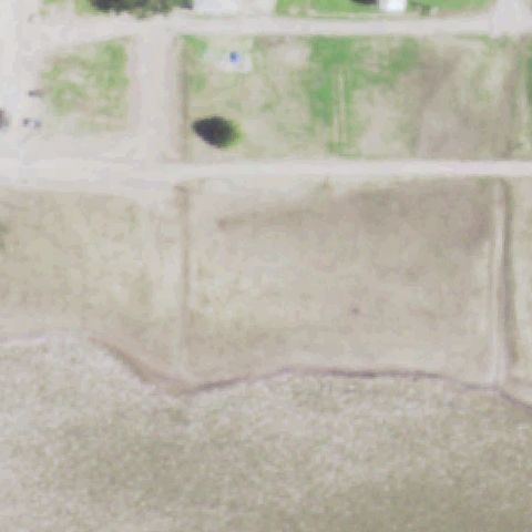
Aerial tile for 25LLConfirmed

25LL Advocate Sherman Hospital

ELGIN, IL

42.0722222220001, -88.329722222

Ground pad with prominent cross/H marking visible at center on grass at Sherman Hospital.

✓ Confirmed by AI vision with Claude Opus 4.8

87% confidence Verify on the map →
Is there really a pad here?
Aerial tile for 7IL6Confirmed

7IL6 Elmhurst Meml Hospital

ELMHURST, IL

41.8646416670001, -87.937027778

Ground pad with cross/H marking clearly visible at center on grass near hospital building.

✓ Confirmed by AI vision with Claude Opus 4.8

88% confidence Verify on the map →
Is there really a pad here?
Aerial tile for 30ILConfirmed

30IL Clay County Hospital

FLORA, IL

38.680338889, -88.472380556

Ground pad with cross/H marking visible at center on open grass near Clay County Hospital.

✓ Confirmed by AI vision with Claude Opus 4.8

85% confidence Verify on the map →
Is there really a pad here?
Aerial tile for 50ISConfirmed

50IS Fhn Meml Hospital

FREEPORT, IL

42.2947583330001, -89.6379249999999

Circle/H marking clearly visible on hospital rooftop at center of image.

✓ Confirmed by AI vision with Claude Opus 4.8

85% confidence Verify on the map →
Is there really a pad here?
Aerial tile for 13ILConfirmed

13IL Midwest Medical Center

GALENA, IL

42.449722222, -90.456944444

H marking clearly visible in white circle on open grass at center of image.

✓ Confirmed by AI vision with Claude Opus 4.8

90% confidence Verify on the map →
Is there really a pad here?
Aerial tile for IS09Confirmed

IS09 Adventist Glenoaks Medical Center

GLENDALE HEIGHTS, IL

41.9144138890001, -88.055625

Ground pad with cross/H marking visible slightly off center near hospital complex.

✓ Confirmed by AI vision with Claude Opus 4.8

82% confidence Verify on the map →
Is there really a pad here?
Aerial tile for 0IS2Confirmed

0IS2 Endeavor Health Clinical Operat Glenbrook Hospital

GLENVIEW, IL

42.0935250000001, -87.852788889

Cross/H pad marking on concrete visible at center on grass between road and hospital buildings.

✓ Confirmed by AI vision with Claude Opus 4.8

88% confidence Verify on the map →
Is there really a pad here?
Aerial tile for 8IS3Confirmed

8IS3 Dept of Juvenile Justice

GRAFTON, IL

38.97265, -90.4624527779999

Square concrete pad visible at center on open grass near juvenile justice facility.

✓ Confirmed by AI vision with Claude Opus 4.8

72% confidence Verify on the map →
Is there really a pad here?
Aerial tile for 3IS9Confirmed

3IS9 Grand Tower

GRAND TOWER, IL

37.6336138890001, -89.505894444

H marking in white circle clearly visible at center on open grass in rural Grand Tower area.

✓ Confirmed by AI vision with Claude Opus 4.8

90% confidence Verify on the map →
Is there really a pad here?
Aerial tile for 38LLConfirmed

38LL Gateway Rgnl Medical Center

GRANITE CITY, IL

38.6999666670001, -90.143319444

Cross/H pad marking visible at center of image on grass near hospital.

✓ Confirmed by AI vision with Claude Opus 4.8

87% confidence Verify on the map →
Is there really a pad here?
Aerial tile for IL61Confirmed

IL61 Vienna Correctional Center

GRANTSBURG, IL

37.397066667, -88.774775

Ground pad with H marking visible at center on open grass near correctional facility road.

✓ Confirmed by AI vision with Claude Opus 4.8

85% confidence Verify on the map →
Is there really a pad here?
Aerial tile for LL14Confirmed

LL14 Nw Lake Forest Hospital-Grayslake

GRAYSLAKE, IL

42.337675, -88.009025

Square concrete pad with white circle/cross markings visible at center on open grass.

✓ Confirmed by AI vision with Claude Opus 4.8

88% confidence Verify on the map →
Is there really a pad here?
Aerial tile for 59ISConfirmed

59IS Hshs Holy Family Hospital

GREENVILLE, IL

38.9033277780001, -89.4066999999999

Red and white cross/H pad marking clearly visible at center on grass near hospital buildings.

✓ Confirmed by AI vision with Claude Opus 4.8

90% confidence Verify on the map →
Is there really a pad here?
Aerial tile for 36LLConfirmed

36LL Village of Hardin

HARDIN, IL

39.1596416670001, -90.625494444

Small circular pad visible at center on open grass in rural Hardin area.

✓ Confirmed by AI vision with Claude Opus 4.8

78% confidence Verify on the map →
Is there really a pad here?
Aerial tile for 4IS4Confirmed

4IS4 Harrisburg Medical Center

HARRISBURG, IL

37.7321111110001, -88.523

Ground pad with H marking visible at center on grass near Harrisburg Medical Center.

✓ Confirmed by AI vision with Claude Opus 4.8

87% confidence Verify on the map →
Is there really a pad here?
Aerial tile for 9IL5Confirmed

9IL5 City of Highland Park

HIGHLAND PARK, IL

42.198888889, -87.826733889

Cross/H pad marking clearly visible at center on grass/landscaped area in Highland Park.

✓ Confirmed by AI vision with Claude Opus 4.8

85% confidence Verify on the map →
Is there really a pad here?
Aerial tile for IL03Confirmed

IL03 St Alexius Medical Center

HOFFMAN ESTATES, IL

42.0543083330001, -88.1395416669999

Circular pad marker visible on large hospital rooftop complex at center.

✓ Confirmed by AI vision with Claude Opus 4.8

82% confidence Verify on the map →
Is there really a pad here?
Aerial tile for 6IS9Confirmed

6IS9 St Joseph Medical Center

JOLIET, IL

41.5291194440001, -88.13705

Large red and white cross/H marking clearly visible on hospital rooftop at center.

✓ Confirmed by AI vision with Claude Opus 4.8

92% confidence Verify on the map →
Is there really a pad here?
Aerial tile for 10ILConfirmed

10IL Riverside Medical Center

KANKAKEE, IL

41.1249750000001, -87.881091667

Cross/H pad marking visible at center on grass near Riverside Medical Center Kankakee.

✓ Confirmed by AI vision with Claude Opus 4.8

87% confidence Verify on the map →
Is there really a pad here?
Aerial tile for 11ILConfirmed

11IL St Mary's Hospital

KANKAKEE, IL

41.120708333, -87.873063889

Red and white cross/H pad marking clearly visible at center on grass near St Mary's Hospital.

✓ Confirmed by AI vision with Claude Opus 4.8

88% confidence Verify on the map →
Is there really a pad here?
Aerial tile for 1LL1Confirmed

1LL1 Lawrence County Meml Hospital

LAWRENCEVILLE, IL

38.7281025, -87.694748611

Cross/H pad marking visible at center on grass near Lawrence County Memorial Hospital.

✓ Confirmed by AI vision with Claude Opus 4.8

88% confidence Verify on the map →
Is there really a pad here?
Aerial tile for 6IS2Confirmed

6IS2 Lemont Fire Dept

LEMONT, IL

41.672175, -88.006358333

Red and white cross/H pad marking visible at center on grass at Lemont Fire Dept.

✓ Confirmed by AI vision with Claude Opus 4.8

85% confidence Verify on the map →
Is there really a pad here?
Aerial tile for 02ISConfirmed

02IS Advocate Condell Medical Center

LIBERTYVILLE, IL

42.2746388890001, -87.957277778

Circular pad marker visible on hospital complex rooftop at center.

✓ Confirmed by AI vision with Claude Opus 4.8

83% confidence Verify on the map →
Is there really a pad here?
Aerial tile for 20LLConfirmed

20LL Lincoln Meml Hospital

LINCOLN, IL

40.153055556, -89.390833333

Square concrete pad visible at center on open grass near Lincoln Memorial Hospital.

✓ Confirmed by AI vision with Claude Opus 4.8

80% confidence Verify on the map →
Is there really a pad here?
Aerial tile for 5IS8Confirmed

5IS8 Northwestern Medicine Hospital McHenry

MC HENRY, IL

42.3168305560001, -88.2803388889999

Cross/H pad marking visible at center on grass near Northwestern Medicine McHenry.

✓ Confirmed by AI vision with Claude Opus 4.8

85% confidence Verify on the map →
Is there really a pad here?
Aerial tile for 0IL0Confirmed

0IL0 Hamilton Meml Hospital

MC LEANSBORO, IL

38.0863000000001, -88.539961111

Red and white cross/H pad marking clearly visible at center on open field near hospital.

✓ Confirmed by AI vision with Claude Opus 4.8

88% confidence Verify on the map →
Is there really a pad here?
Aerial tile for 46ILConfirmed

46IL McDonough District Hospital

MACOMB, IL

40.4441944440001, -90.663861111

Cross/H pad marking visible at center on grass near McDonough District Hospital.

✓ Confirmed by AI vision with Claude Opus 4.8

82% confidence Verify on the map →
Is there really a pad here?
Aerial tile for 5IL4Confirmed

5IL4 Prairie State Generating

MARISSA, IL

38.2762083330001, -89.6718749999999

Clear white H painted on concrete pad visible near center of image adjacent to retention pond.

✓ Confirmed by AI vision with Claude Opus 4.8

97% confidence Verify on the map →
Is there really a pad here?
Aerial tile for IS97Confirmed

IS97 Trinity Medical Center - Moline

MOLINE, IL

41.467752778, -90.532141667

Distinct square concrete pad with white cross/plus marker visible at center of image on prepared ground area.

✓ Confirmed by AI vision with Claude Opus 4.8

93% confidence Verify on the map →
Is there really a pad here?
Aerial tile for LL01Confirmed

LL01 Osf Holy Family Medical Center

MONMOUTH, IL

40.9216083330001, -90.6590138889999

Small round pad with cross/plus marker visible on grass at center of image near hospital grounds.

✓ Confirmed by AI vision with Claude Opus 4.8

85% confidence Verify on the map →
Is there really a pad here?
Aerial tile for 75ILConfirmed

75IL Deaconess Illinois Crossroad Hospital

MOUNT VERNON, IL

38.312216667, -88.935733333

Square concrete pad with cross/plus marker clearly visible at center of image on grass area between parking lots.

✓ Confirmed by AI vision with Claude Opus 4.8

91% confidence Verify on the map →
Is there really a pad here?
Aerial tile for IS38Confirmed

IS38 St Joseph Meml Hospital

MURPHYSBORO, IL

37.773519444, -89.325472222

Round circle pad with cross marker visible at center of image on prepared grass/concrete surface near hospital.

✓ Confirmed by AI vision with Claude Opus 4.8

87% confidence Verify on the map →
Is there really a pad here?
Aerial tile for LL11Confirmed

LL11 Edward Hospital

NAPERVILLE, IL

41.7605361110001, -88.1535527779999

Circular pad with cross/plus marker on a raised platform visible at center, connected by walkway, on hospital grounds.

✓ Confirmed by AI vision with Claude Opus 4.8

88% confidence Verify on the map →
Is there really a pad here?
Aerial tile for IL92Confirmed

IL92 Uchicago Medicine Ingalls Meml

HARVEY, IL

41.6057222220001, -87.659958333

White cross/plus marker visible on hospital rooftop at center of image, clearly a rooftop helipad.

✓ Confirmed by AI vision with Claude Opus 4.8

90% confidence Verify on the map →
Is there really a pad here?
Aerial tile for 31ISConfirmed

31IS Mason District Hospital

HAVANA, IL

40.3061500000001, -90.054476

Square concrete pad with cross/plus marker clearly visible at center of image on grass area near hospital.

✓ Confirmed by AI vision with Claude Opus 4.8

92% confidence Verify on the map →
Is there really a pad here?
Aerial tile for 8IL8Confirmed

8IL8 Advocate South Suburban Hospital

HAZEL CREST, IL

41.567694444, -87.697152778

Small square pad with cross/plus marker visible at center of image on grass between road and building.

✓ Confirmed by AI vision with Claude Opus 4.8

88% confidence Verify on the map →
Is there really a pad here?
Aerial tile for IL98Confirmed

IL98 Chicagoland Speedway

JOLIET, IL

41.4797222220001, -88.058333333

Small white square/concrete pad visible in grassy area slightly off center within speedway grounds; faint but distinct prepared surface.

✓ Confirmed by AI vision with Claude Opus 4.8

72% confidence Verify on the map →
Is there really a pad here?
Aerial tile for 8IS8Confirmed

8IS8 Vista Surgery Center

LINDENHURST, IL

42.4130416670001, -88.056702778

Square concrete pad with cross/plus marker visible near center on grass area at hospital/clinic facility.

✓ Confirmed by AI vision with Claude Opus 4.8

85% confidence Verify on the map →
Is there really a pad here?
Aerial tile for 73ILConfirmed

73IL St Francis Hospital - Litchfield

LITCHFIELD, IL

39.181355556, -89.640258333

Circular pad with cross visible on grass at center of image near hospital, with a clear path leading to it.

✓ Confirmed by AI vision with Claude Opus 4.8

87% confidence Verify on the map →
Is there really a pad here?
Aerial tile for 44ILConfirmed

44IL Wilson

MINOOKA, IL

41.539491667, -88.3248972219999

Faint white square pad/marker visible at center of image on grass field near farm structure; minimally marked.

✓ Confirmed by AI vision with Claude Opus 4.8

72% confidence Verify on the map →
Is there really a pad here?
Aerial tile for 52ISConfirmed

52IS Dresden Power Station

MINOOKA, IL

41.3870833330001, -88.2658888889999

White concrete square pad visible at center of image on grassy area at nuclear power station site.

✓ Confirmed by AI vision with Claude Opus 4.8

82% confidence Verify on the map →
Is there really a pad here?
Aerial tile for LL04Confirmed

LL04 Morris Hospital

MORRIS, IL

41.370130556, -88.427305556

Square pad with cross/plus marker visible at center of image on grass near hospital, with connecting path.

✓ Confirmed by AI vision with Claude Opus 4.8

88% confidence Verify on the map →
Is there really a pad here?
Aerial tile for 67ISConfirmed

67IS Wabash General Hospital

MOUNT CARMEL, IL

38.4213111110001, -87.769908333

Square concrete pad with cross/plus marker clearly visible near center of image on grass area at hospital.

✓ Confirmed by AI vision with Claude Opus 4.8

88% confidence Verify on the map →
Is there really a pad here?
Aerial tile for 9IL9Confirmed

9IL9 Silver Cross Hospital

NEW LENOX, IL

41.5455555560001, -87.981944444

Outlined square pad visible in what appears to be a construction/dirt area at center; hospital under development but pad location staked out.

✓ Confirmed by AI vision with Claude Opus 4.8

70% confidence Verify on the map →
Is there really a pad here?
Aerial tile for IS27Confirmed

IS27 Nokomis Community Meml Park

NOKOMIS, IL

39.301305556, -89.2937777779999

Small white concrete pad visible at center of image on grass near community park with faint cross marking.

✓ Confirmed by AI vision with Claude Opus 4.8

78% confidence Verify on the map →
Is there really a pad here?
Aerial tile for IL25Confirmed

IL25 Carle Bromenn Medical Center

NORMAL, IL

40.496727778, -88.9906583329999

Large hospital rooftop complex at center; white pad/cross marker visible on rooftop at center of image.

✓ Confirmed by AI vision with Claude Opus 4.8

85% confidence Verify on the map →
Is there really a pad here?
Aerial tile for 8LL4Confirmed

8LL4 Richland Meml Hospital

OLNEY, IL

38.735863889, -88.077033333

Circular pad with cross marker visible near center of image on grass area adjacent to hospital building.

✓ Confirmed by AI vision with Claude Opus 4.8

87% confidence Verify on the map →
Is there really a pad here?
Aerial tile for IS30Confirmed

IS30 Franciscan Health - Olympia Fields

OLYMPIA FIELDS, IL

41.523611111, -87.709722222

Large square pad with prominent white cross visible on grass at center of image; well-marked ground-level helipad.

✓ Confirmed by AI vision with Claude Opus 4.8

93% confidence Verify on the map →
Is there really a pad here?
Aerial tile for 71ILConfirmed

71IL Advocate Lutheran General Hospital

PARK RIDGE, IL

42.038205556, -87.847819444

Large red square with prominent white cross visible on hospital rooftop at center of image; clearly marked rooftop helipad.

✓ Confirmed by AI vision with Claude Opus 4.8

95% confidence Verify on the map →
Is there really a pad here?
Aerial tile for IS44Confirmed

IS44 Illini Community Hospital

PITTSFIELD, IL

39.6070777780001, -90.814175

Square concrete pad with cross/plus marker visible at center on grass near hospital building with connecting path.

✓ Confirmed by AI vision with Claude Opus 4.8

88% confidence Verify on the map →
Is there really a pad here?
Aerial tile for 78ISConfirmed

78IS Red Bud Rgnl Hospital

RED BUD, IL

38.209658333, -89.996861111

Circular pad with white cross/plus marker visible at center of image on grass area, clearly a prepared helipad.

✓ Confirmed by AI vision with Claude Opus 4.8

90% confidence Verify on the map →
Is there really a pad here?
Aerial tile for 35LLConfirmed

35LL Crawford Meml Hospital

ROBINSON, IL

39.0155722220001, -87.750613889

Square concrete pad with cross/plus marker visible at center of image on grass area at hospital grounds.

✓ Confirmed by AI vision with Claude Opus 4.8

87% confidence Verify on the map →
Is there really a pad here?
Aerial tile for IL41Confirmed

IL41 Rochelle Community Hospital

ROCHELLE, IL

41.928222222, -89.0636666669999

White cross/plus marker visible on rooftop of hospital building at center of image; clear rooftop helipad marking.

✓ Confirmed by AI vision with Claude Opus 4.8

87% confidence Verify on the map →
Is there really a pad here?
Aerial tile for 5IL9Confirmed

5IL9 Salem Township Hospital

SALEM, IL

38.6425, -88.948888889

Distinct white cross/H pad visible on concrete surface just south of center amid hospital grounds.

✓ Confirmed by AI vision with Claude Opus 4.8

92% confidence Verify on the map →
Is there really a pad here?
Aerial tile for 2LL6Confirmed

2LL6 Genesis Medical Center - Illini Campus

SILVIS, IL

41.4952083330001, -90.418138889

White cross/square pad on bare ground visible near image center adjacent to hospital buildings.

✓ Confirmed by AI vision with Claude Opus 4.8

90% confidence Verify on the map →
Is there really a pad here?
Aerial tile for 34LLConfirmed

34LL Lawrence Correctional Center

SUMNER, IL

38.7285138890001, -87.9081555559999

Concrete pad with H marking visible at image center between parking areas of correctional facility.

✓ Confirmed by AI vision with Claude Opus 4.8

85% confidence Verify on the map →
Is there really a pad here?
Aerial tile for IS96Confirmed

IS96 Carle Hospital

URBANA, IL

40.1177777780001, -88.214722222

Rooftop helipad with white cross/circle marking visible near center on hospital building.

✓ Confirmed by AI vision with Claude Opus 4.8

90% confidence Verify on the map →
Is there really a pad here?
Aerial tile for LL25Confirmed

LL25 Osf St Elizabeth Medical Center

OTTAWA, IL

41.3581980280001, -88.8249787779999

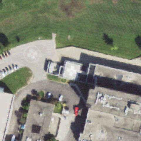
Two pads visible: a circle ground pad at upper left and a rooftop pad with cross; primary pad near center.

✓ Confirmed by AI vision with Claude Opus 4.8

92% confidence Verify on the map →
Is there really a pad here?
Aerial tile for 20ILConfirmed

20IL Palos Community Hospital

PALOS HEIGHTS, IL

41.6691666670001, -87.8125555559999

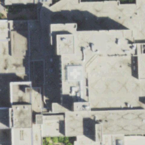
White square pad visible on rooftop near center of dense hospital complex.

✓ Confirmed by AI vision with Claude Opus 4.8

78% confidence Verify on the map →
Is there really a pad here?
Aerial tile for LL37Confirmed

LL37 Osf St Francis Medical Center

PEORIA, IL

40.702761111, -89.5921333329999

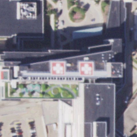
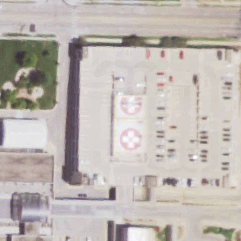
Two clearly marked red-cross rooftop helipads visible at image center on hospital building.

✓ Confirmed by AI vision with Claude Opus 4.8

97% confidence Verify on the map →
Is there really a pad here?
Aerial tile for 2IS1Confirmed

2IS1 Carle Health - Proctor

PEORIA, IL

40.753463889, -89.5987916669999

Ground pad with white cross marking visible near center adjacent to hospital building.

✓ Confirmed by AI vision with Claude Opus 4.8

88% confidence Verify on the map →
Is there really a pad here?
Aerial tile for 57ILConfirmed

57IL South Suburban

PEOTONE, IL

41.370097222, -87.7508722219999

Large clear H on red/orange square pad visible prominently at image center.

✓ Confirmed by AI vision with Claude Opus 4.8

93% confidence Verify on the map →
Is there really a pad here?
Aerial tile for 3IL6Confirmed

3IL6 Pinckneyville Correctional Center

PINCKNEYVILLE, IL

38.0839361110001, -89.327830556

H marking visible on concrete pad in center of roundabout at correctional facility.

✓ Confirmed by AI vision with Claude Opus 4.8

90% confidence Verify on the map →
Is there really a pad here?
Aerial tile for LL42Confirmed

LL42 St James Hospital

PONTIAC, IL

40.8709916670001, -88.6807277779999

Ground pad with H and cross marking visible near center adjacent to hospital.

✓ Confirmed by AI vision with Claude Opus 4.8

88% confidence Verify on the map →
Is there really a pad here?
Aerial tile for LL83Confirmed

LL83 Javon Bea Hospital-Rockton

ROCKFORD, IL

42.299079583, -89.099731111

Ground pad with H and cross marking visible near image center outside hospital.

✓ Confirmed by AI vision with Claude Opus 4.8

88% confidence Verify on the map →
Is there really a pad here?
Aerial tile for LL84Confirmed

LL84 St Anthony Medical Center

ROCKFORD, IL

42.2692777780001, -89.0075555559999

Red circle with white cross/H marking visible on rooftop at image center.

✓ Confirmed by AI vision with Claude Opus 4.8

90% confidence Verify on the map →
Is there really a pad here?
Aerial tile for 0LL7Confirmed

0LL7 Valley West Hospital

SANDWICH, IL

41.6579944440001, -88.621297222

Ground pad with H marking clearly visible near center outside hospital building.

✓ Confirmed by AI vision with Claude Opus 4.8

85% confidence Verify on the map →
Is there really a pad here?
Aerial tile for II23Confirmed

II23 Hshs Good Shepherd Hospital

SHELBYVILLE, IL

39.4061333330001, -88.808844444

Ground pad with red cross and circle marking visible at image center.

✓ Confirmed by AI vision with Claude Opus 4.8

90% confidence Verify on the map →
Is there really a pad here?
Aerial tile for 54LLConfirmed

54LL Meml Medical Center - Springfield

SPRINGFIELD, IL

39.8115472220001, -89.654994444

Large concrete pad with prominent white cross/circle visible at image center.

✓ Confirmed by AI vision with Claude Opus 4.8

95% confidence Verify on the map →
Is there really a pad here?
Aerial tile for 97ISConfirmed

97IS St Johns Hospital

SPRINGFIELD, IL

39.806755556, -89.644425

Two helipads with red circle and cross markings visible on elevated pad structure near center.

✓ Confirmed by AI vision with Claude Opus 4.8

92% confidence Verify on the map →
Is there really a pad here?
Aerial tile for IS21Confirmed

IS21 Community Hospital of Staunton

STAUNTON, IL

39.0152555560001, -89.788741667

Ground pad with H and cross marking visible near center adjacent to hospital.

✓ Confirmed by AI vision with Claude Opus 4.8

85% confidence Verify on the map →
Is there really a pad here?
Aerial tile for 2LL0Confirmed

2LL0 Taylorville Meml Hospital

TAYLORVILLE, IL

39.5544972220001, -89.2948249999999

Ground pad with H marking visible near center outside hospital building.

✓ Confirmed by AI vision with Claude Opus 4.8

88% confidence Verify on the map →
Is there really a pad here?
Aerial tile for IS89Confirmed

IS89 Iroquois Meml Hospital

WATSEKA, IL

40.7658222220001, -87.7314249999999

Ground pad with H and cross marking visible at image center outside hospital.

✓ Confirmed by AI vision with Claude Opus 4.8

88% confidence Verify on the map →
Is there really a pad here?
Aerial tile for 7LL2Confirmed

7LL2 Vista Medical Center-East

WAUKEGAN, IL

42.3777000000001, -87.8334027779999

Rooftop pad with red circle and white cross marking visible near image center.

✓ Confirmed by AI vision with Claude Opus 4.8

88% confidence Verify on the map →
Is there really a pad here?
Aerial tile for IS39Confirmed

IS39 Central Dupage Hospital

WINFIELD, IL

41.8725250000001, -88.157919444

Concrete pad with H and circle marking visible near image center with distinctive curved access path.

✓ Confirmed by AI vision with Claude Opus 4.8

92% confidence Verify on the map →
Is there really a pad here?
Aerial tile for IL42Confirmed

IL42 Centegra Hospital-Woodstock

WOODSTOCK, IL

42.276166667, -88.4026666669999

Ground pad with H marking visible at image center outside hospital building.

✓ Confirmed by AI vision with Claude Opus 4.8

87% confidence Verify on the map →
Is there really a pad here?
Aerial tile for 1IL2Confirmed

1IL2 Adventist Hinsdale Hospital

HINSDALE, IL

41.8053444440001, -87.9216361109999

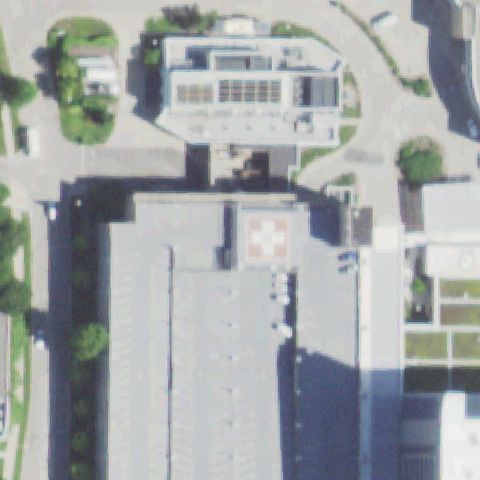
Rooftop pad with clear white cross marker visible at center of the hospital building roof.

✓ Confirmed by AI vision with Claude Opus 4.8

93% confidence Verify on the map →
Is there really a pad here?
Aerial tile for IL06Confirmed

IL06 Hopedale Medical Complex

HOPEDALE, IL

40.4175000000001, -89.416111111

Ground-level concrete pad with white cross/H on a square landing area connected by taxiway to hospital, centered in image.

✓ Confirmed by AI vision with Claude Opus 4.8

95% confidence Verify on the map →
Is there really a pad here?
Aerial tile for IL66Confirmed

IL66 St Joseph's Hospital-Highland

HIGHLAND, IL

38.753869444, -89.6682611109999

Prominent red-and-white circle with white cross marker on concrete ground pad directly at image center.

✓ Confirmed by AI vision with Claude Opus 4.8

97% confidence Verify on the map →
Is there really a pad here?
Aerial tile for IL10Confirmed

IL10 Pinckneyville Community Hospital

PINCKNEYVILLE, IL

38.084722222, -89.348277778

Concrete square ground pad with cross/H marker visible near image center adjacent to hospital building.

✓ Confirmed by AI vision with Claude Opus 4.8

88% confidence Verify on the map →
Is there really a pad here?
Aerial tile for IL74Confirmed

IL74 Northwestern Medical Hospital/Huntley

HUNTLEY, IL

42.1774361110001, -88.3989444439999

White cross on circular disc marker on concrete ground pad clearly visible at image center.

✓ Confirmed by AI vision with Claude Opus 4.8

95% confidence Verify on the map →
Is there really a pad here?
Aerial tile for 09ILConfirmed

09IL St Elizabeth's Hospital

O'FALLON, IL

38.583277778, -89.934194444

Prominent red-and-white square cross marker on grass ground pad clearly at image center.

✓ Confirmed by AI vision with Claude Opus 4.8

96% confidence Verify on the map →
Is there really a pad here?
Aerial tile for 82ILConfirmed

82IL Mercyhealth System-Riverside

ROCKFORD, IL

42.3152483330001, -88.960186944

White square concrete pad with cross/H marker visible near center of image adjacent to hospital grounds.

✓ Confirmed by AI vision with Claude Opus 4.8

88% confidence Verify on the map →
Is there really a pad here?
Aerial tile for 8IL6Confirmed

8IL6 Kingdon Rla-H

EL PASO, IL

40.7695583330001, -88.949125

Very small yellowish square marker visible at image center in a plowed field; possibly a landing area marker but low confidence due to image blur.

✓ Confirmed by AI vision with Claude Opus 4.8

55% confidence Verify on the map →
Is there really a pad here?