 Not visible
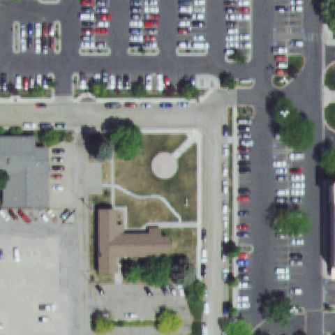
ID80 West Valley Hospital
CALDWELL, ID
43.6541250000001, -116.695858333
Center is hospital landscaping and parking lots with no pad or markings.
80% confidence
Verify on the map →
Is there really a pad here?
Data: FAA Airports (ArcGIS open layer) | Imagery: USGS NAIP (public domain) | AI vision: Claude Opus 4.8 | built 2026-07-05
A flag means a pad could not be confirmed from current imagery - never that a heliport is missing, fake, or mislocated. Help us check: vote on each one below.
Not visibleCALDWELL, ID
43.6541250000001, -116.695858333
Center is hospital landscaping and parking lots with no pad or markings.
 Not visible
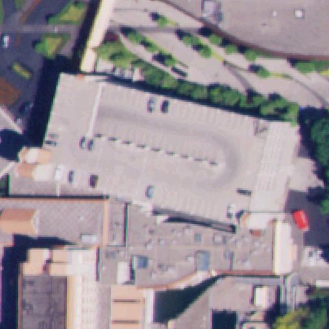
COEUR D'ALENE, ID
47.672397222, -116.783730556
Center is a parking-structure roof with no pad or markings.
 Not visible
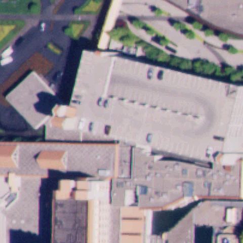
COEUR D'ALENE, ID
47.6723805560001, -116.783986111
Center shows a parking deck roof with no helipad markings.
 Not visible
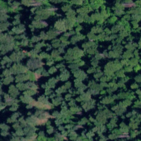
COEUR D'ALENE, ID
47.2511111110001, -116.851944444
Center is unbroken dense forest canopy.
 Not visible
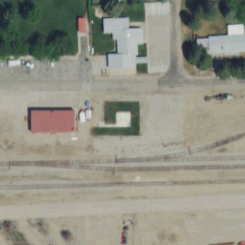
HORSESHOE BEND, ID
43.913494444, -116.196983333
Center is a vacant grass town lot with no pad or markings.
 Not visible
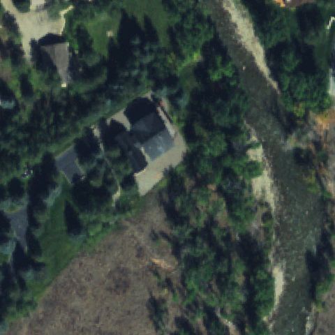
KETCHUM, ID
43.773519444, -114.406919444
Center is a wooded residential lot with no helipad.
 Not visible
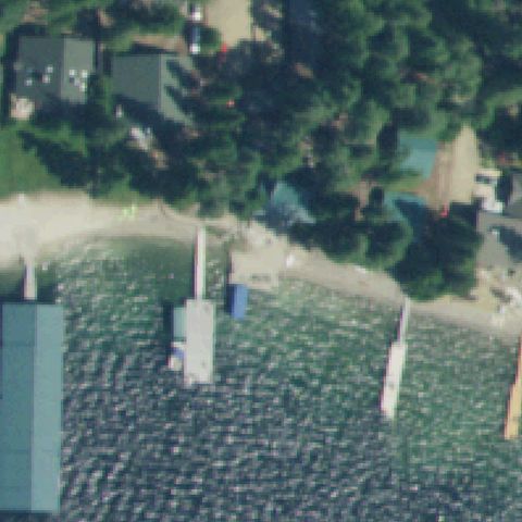
NORDMAN, ID
48.6315250000001, -116.871188889
Center is lake water with shoreline docks and no pad.
 Not visible
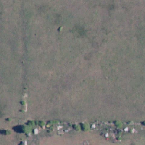
POST FALLS, ID
47.7329566670001, -116.999921389
Center is an open grassy field with no pad or markings.
 Not visible
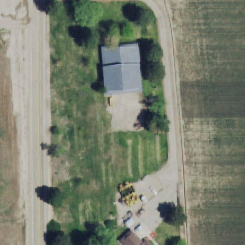
HUSTON, ID
43.5971666670001, -116.782075
Center is a rural lot with a barn and grass, no pad.
 Not visible
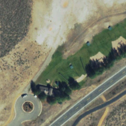
SUN VALLEY, ID
43.7180280000001, -114.335863
Center is open dirt/scrub at a gun club with no pad.
 Not visible
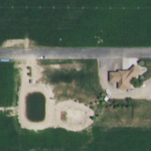
TWIN FALLS, ID
42.5431361110001, -114.546058333
Center is a farm field with a pond and no pad.
 Not visible
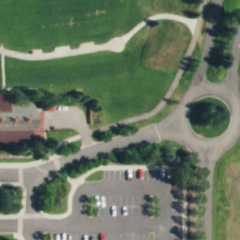
VICTOR, ID
43.574230556, -111.108241667
Center is golf-course grass and a roundabout drive with no pad.
 Not visible
RIGGINS, ID
45.242402778, -116.328663889
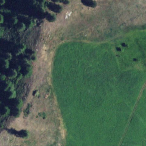
Center is a forest meadow with no pad or markings.
 Not visible
RIGGINS, ID
45.4412222220001, -116.399377778
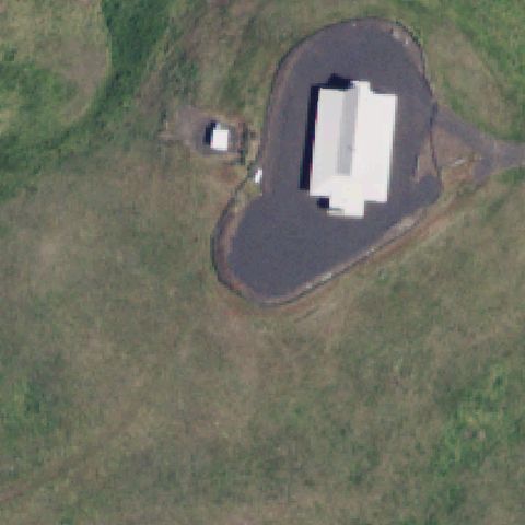
Center shows a graded driveway loop and small building in forest, no helipad marking.
 Not visible
SHOSHONE, ID
42.929138139, -114.406044778
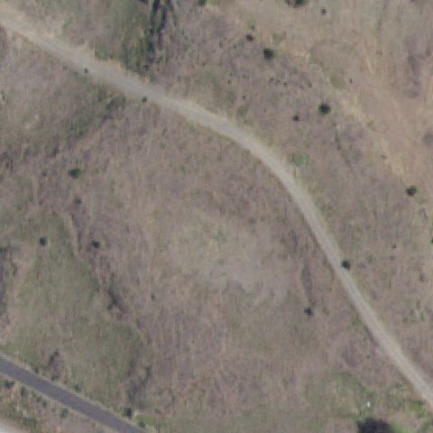
Center is open brushy ground crossed by a dirt road, no pad.
 Not visible
COEUR D'ALENE, ID
47.652222222, -116.7225
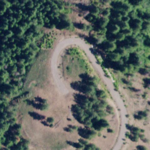
Center is a forested hilltop with a dirt loop road, no pad.
 Not visible
EAGLE, ID
43.733444444, -116.346666667
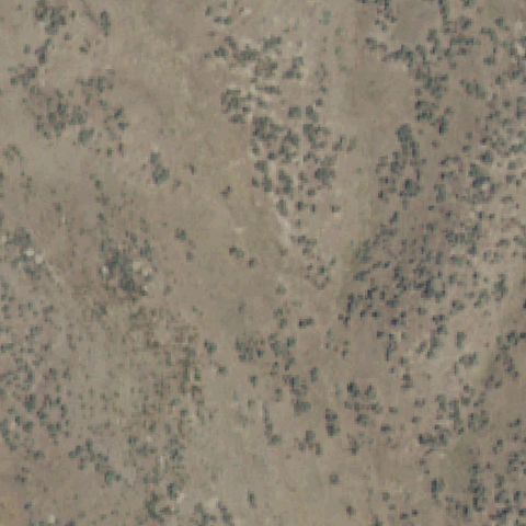
Image is bare gravel/dirt with no pad or markings.
 Off-center
CASCADE, ID
44.5183250000001, -116.048711111
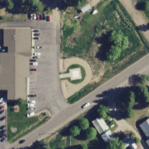
A small square prepared pad on a circular dirt apron is just right of center.
 Off-center
COEUR D'ALENE, ID
47.6925583330001, -117.0406
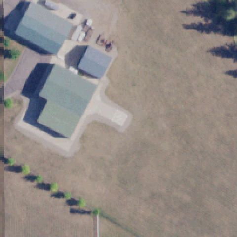
A faint light square pad sits on grass left of the image center.
 Off-center
EMMETT, ID
43.8806222220001, -116.484488889
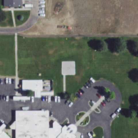
A small light pad with a faint marker is on the driveway lower-left of center.
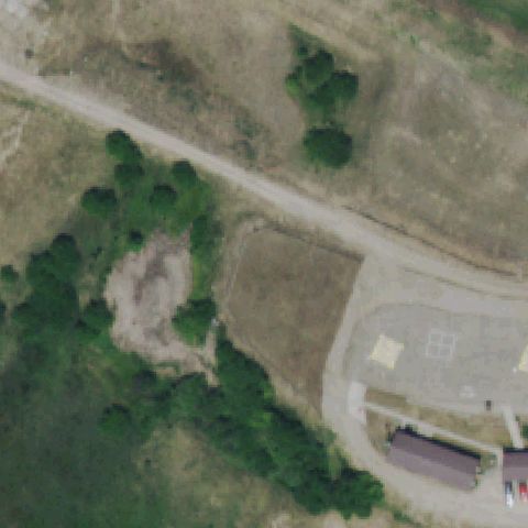 Off-center
GARDEN VALLEY, ID
44.064338611, -115.925951111
A paved pad with a yellow square marking sits lower-right of the image center.
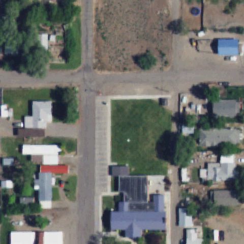 Off-center
GLENNS FERRY, ID
42.954519444, -115.305591667
A light square pad with a vehicle on it is just left of center.
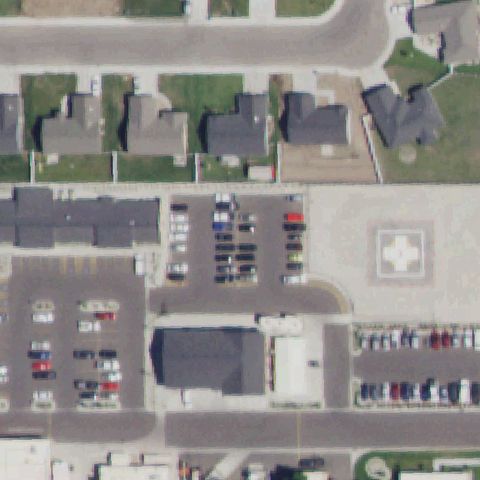 Off-center
RUPERT, ID
42.6212972220001, -113.685791667
A light pad with a white circle/cross marking is just right of center by the hospital.
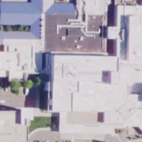 Uncertain
COEUR D'ALENE, ID
47.695355556, -116.7943
Hospital rooftops fill the center but no clear helipad marking is visible.
 Uncertain
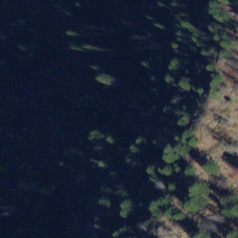
BIG CREEK, ID
45.133243056, -115.317612778
Center is brushy forest; a white triangular marker and a paved oval are present but no clear helipad.
 Uncertain
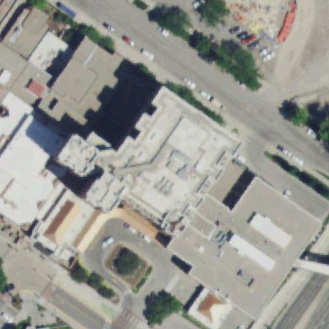
BOISE, ID
43.612769444, -116.191952778
Center is a dense hospital roof complex with no distinct helipad marking.
 Uncertain
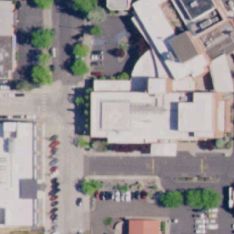
MOSCOW, ID
46.7280361110001, -117.001041667
Center is a hospital roof complex with no distinct helipad marking.
 Uncertain
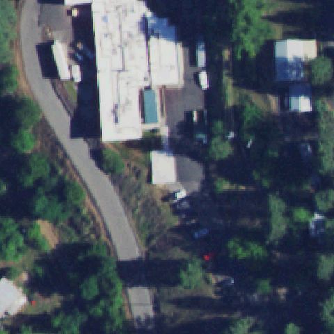
OROFINO, ID
46.4864916670001, -116.259591667
Center shows buildings and trees with no clear helipad marking.
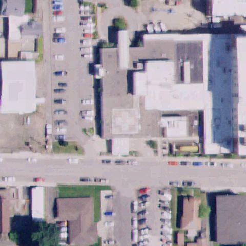 Uncertain
ST MARIES, ID
47.3144972220001, -116.567766667
A faint pale square is near center but no clear helipad marking is discernible.
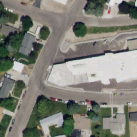 Uncertain
AMERICAN FALLS, ID
42.781458333, -112.849311111
Center is a white hospital roof with no clear helipad marking.
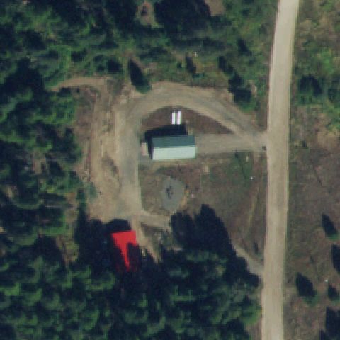 Uncertain
CASCADE, ID
44.5955555560001, -116.148055556
Center is a forest clearing with a building and dirt, no pad markings.
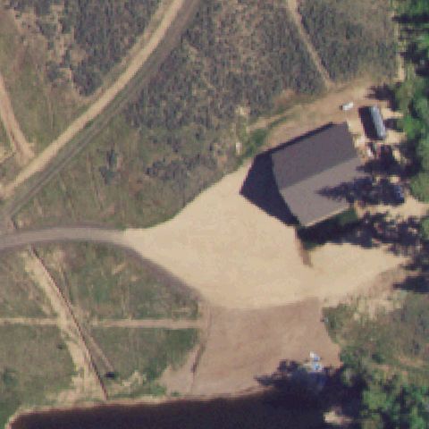 Uncertain
MCCALL, ID
44.81325, -116.064416667
Center is a graded dirt clearing in forest with no helipad marking.
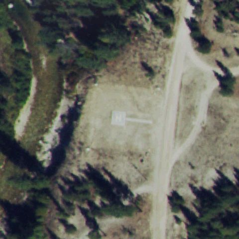 Confirmed
ATLANTA, ID
43.80715, -115.130886111
A painted white H marker sits on a cleared dirt landing area at the image center.
✓ Confirmed by AI vision with Claude Opus 4.8
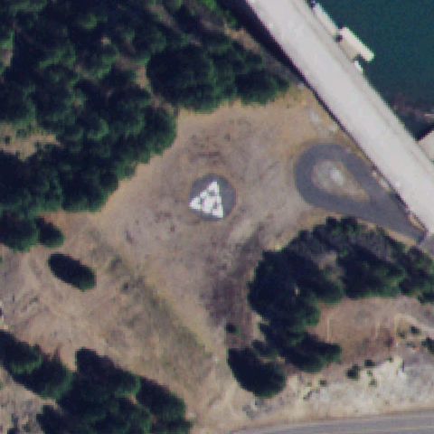 Confirmed
AHSAHKA, ID
46.512130556, -116.293105556
A white square pad and an adjacent paved circle sit near image center on bare ground.
✓ Confirmed by AI vision with Claude Opus 4.8
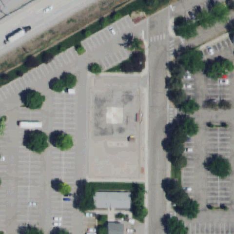 Confirmed
BOISE, ID
43.6136277780001, -116.261452778
A large prepared concrete pad with a faint square marking sits at image center in a parking area.
✓ Confirmed by AI vision with Claude Opus 4.8
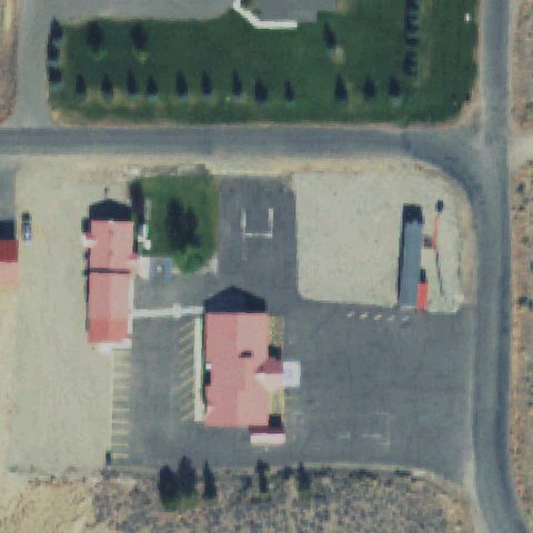 Confirmed
CHALLIS, ID
44.51145, -114.224508333
A clear painted H marking is on a paved pad at the image center.
✓ Confirmed by AI vision with Claude Opus 4.8
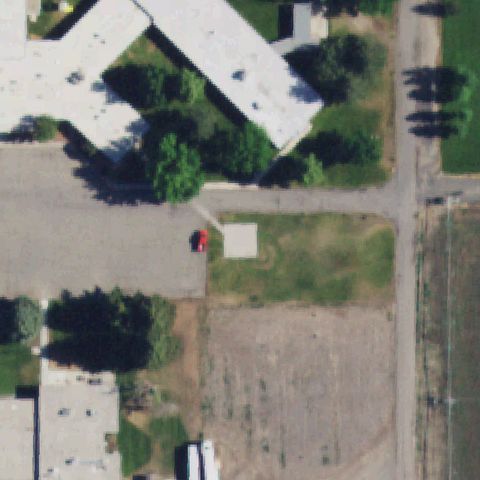 Confirmed
GOODING, ID
42.933211111, -114.708491667
A light square pad bordered by green sits near the image center on bare ground.
✓ Confirmed by AI vision with Claude Opus 4.8
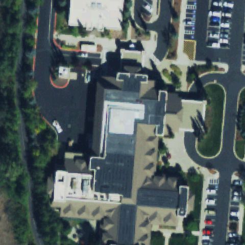 Confirmed
KETCHUM, ID
43.648530556, -114.350002778
A faint light square pad appears on the hospital rooftop near image center.
✓ Confirmed by AI vision with Claude Opus 4.8
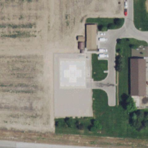 Confirmed
MERIDIAN, ID
43.598166667, -116.347547222
A large concrete pad with an H and circle hospital marking sits at image center.
✓ Confirmed by AI vision with Claude Opus 4.8
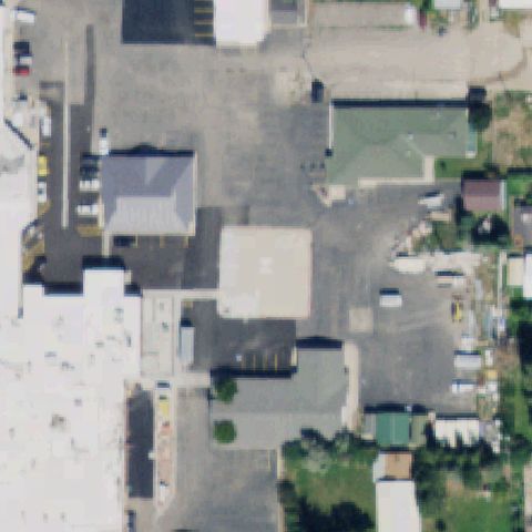 Confirmed
MONTPELIER, ID
42.316569444, -111.299472222
A light square prepared pad with faint marking is near the image center.
✓ Confirmed by AI vision with Claude Opus 4.8
 Confirmed
RIGGINS, ID
45.4184194440001, -116.1782
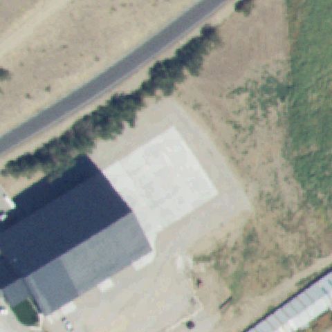
A faint light square prepared pad sits near the image center beside a building.
✓ Confirmed by AI vision with Claude Opus 4.8
 Confirmed
IDAHO FALLS, ID
43.4714083330001, -111.991525
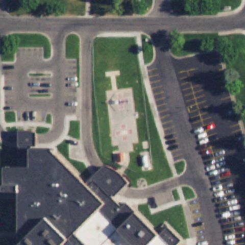
A concrete pad with an H and circle marking sits on the hospital lawn near center.
✓ Confirmed by AI vision with Claude Opus 4.8
 Confirmed
LEWISTON, ID
46.416933333, -117.024147222
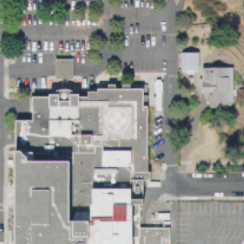
A rooftop pad with an H and circle marking is at the image center.
✓ Confirmed by AI vision with Claude Opus 4.8
 Confirmed
MOUNTAIN HOME, ID
43.139155556, -115.694116667
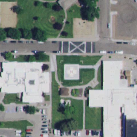
A concrete pad with an H and circle marking sits at the image center on the hospital lawn.
✓ Confirmed by AI vision with Claude Opus 4.8
 Confirmed
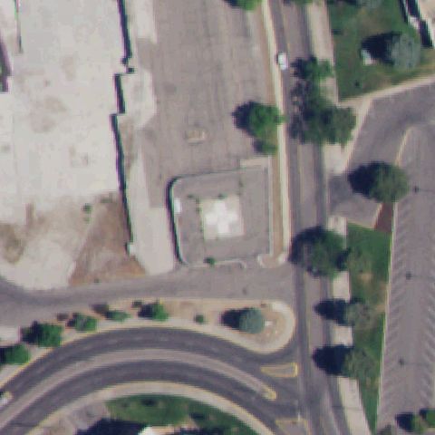
POCATELLO, ID
42.8666916670001, -112.430980556
A square pad with a white H and circle marking sits at the image center.
✓ Confirmed by AI vision with Claude Opus 4.8
 Confirmed
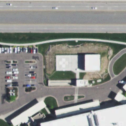
TWIN FALLS, ID
42.5912750000001, -114.496563889
A white pad with an H and circle hospital marking sits at the image center.
✓ Confirmed by AI vision with Claude Opus 4.8
 Confirmed
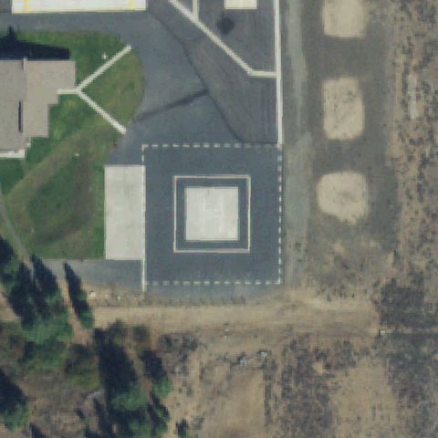
MCCALL, ID
44.8907611110001, -116.103158333
A square pad with a clear painted H sits just below the image center.
✓ Confirmed by AI vision with Claude Opus 4.8
 Confirmed
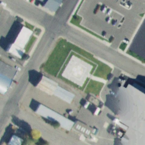
SALMON, ID
45.1737027780001, -113.892591667
A light square prepared pad with a faint marking sits at the image center.
✓ Confirmed by AI vision with Claude Opus 4.8
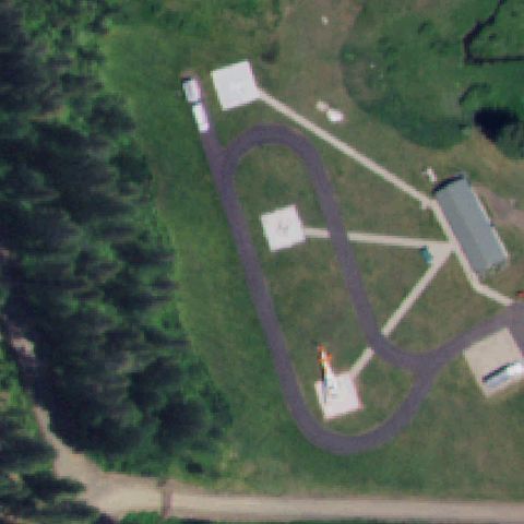 Confirmed
NEW MEADOWS, ID
45.0206388890001, -116.437388889
Multiple square dispersal pads of a helibase are present, one near center with a marking.
✓ Confirmed by AI vision with Claude Opus 4.8
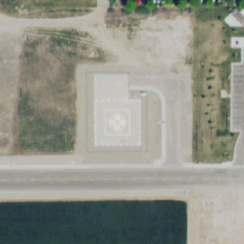 Confirmed
FRUITLAND, ID
44.023888889, -116.926666667
A concrete pad with a white H and circle marking sits at the image center.
✓ Confirmed by AI vision with Claude Opus 4.8
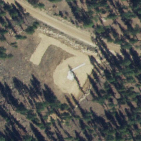 Confirmed
YELLOW PINE, ID
44.9599680000001, -115.495415
A helicopter appears parked on a cleared dirt landing area at the image center.
✓ Confirmed by AI vision with Claude Opus 4.8