 Not visible
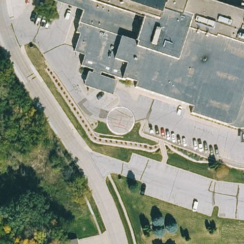
0IA1 St Anthony Rgnl Hospital
CARROLL, IA
42.0559388890001, -94.8672583329999
Center is a circular landscaped roundabout, not a helipad.
70% confidence
Verify on the map →
Is there really a pad here?
Data: FAA Airports (ArcGIS open layer) | Imagery: USGS NAIP (public domain) | AI vision: Claude Opus 4.8 | built 2026-07-05
A flag means a pad could not be confirmed from current imagery - never that a heliport is missing, fake, or mislocated. Help us check: vote on each one below.
Not visibleCARROLL, IA
42.0559388890001, -94.8672583329999
Center is a circular landscaped roundabout, not a helipad.
 Not visible
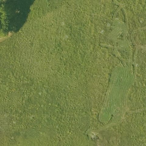
DORCHESTER, IA
43.4388605560001, -91.567365278
Center is forest and open field with no visible pad at this camp landing site.
 Not visible
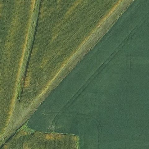
MIDDLETON, IA
40.8333702780001, -91.300150833
Center is open field with no visible pad at this Army Reserve site.
 Not visible
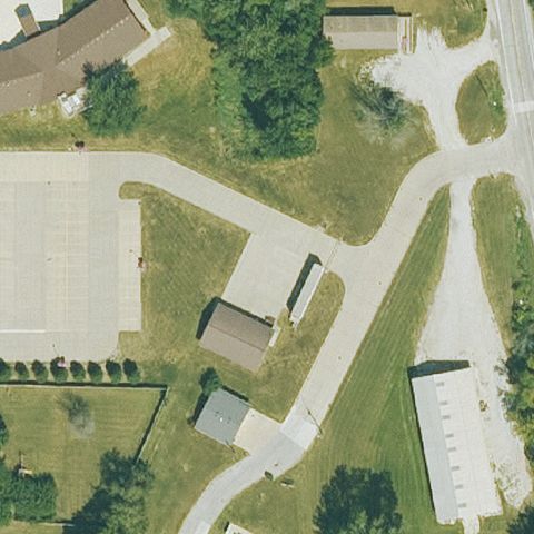
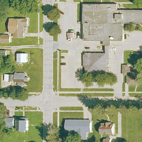
OSCEOLA, IA
41.025833333, -93.766333333
Center shows buildings, drives and grass with no visible pad.
 Not visible
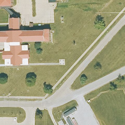
PRIMGHAR, IA
43.088411111, -95.624044444
Center is generic streets and buildings with no pad visible.
 Not visible
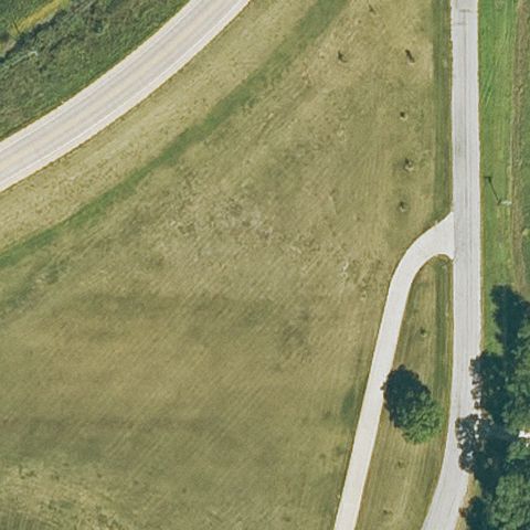
WOODWARD, IA
41.8715250000001, -93.914027778
Center is open grass and trees with no pad visible.
 Not visible
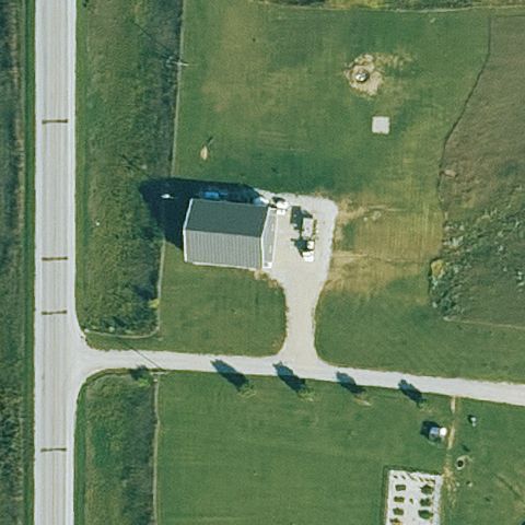
IOWA CITY, IA
41.6934000000001, -91.522363889
Center is an open grassy field with a drive and no pad.
 Not visible
ORIENT, IA
41.2338194440001, -94.3561611109999
Rural farmstead with buildings and fields, no pad visible.
 Off-center
DES MOINES, IA
41.5994388890001, -93.624277778
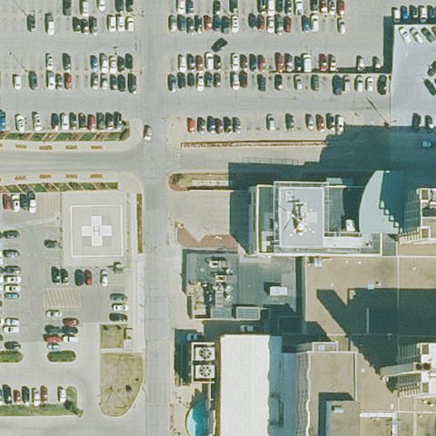
Rooftop pad with painted H and parked helicopter visible right of image center on hospital tower, with a second ground-level H pad further left.
 Off-center
GREENFIELD, IA
41.303972222, -94.451
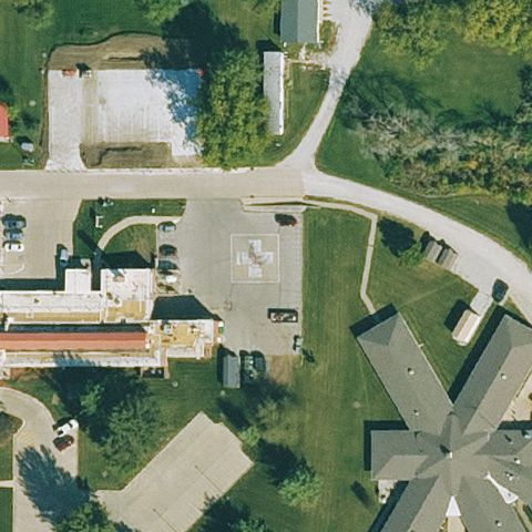
Small marked pad on grass left of center near a building.
 Off-center
OSKALOOSA, IA
41.299636111, -92.628841667
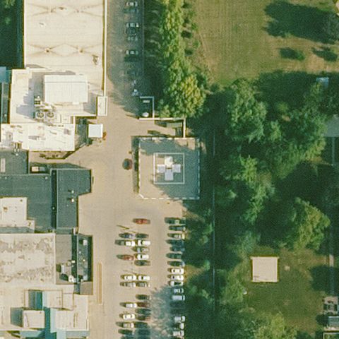
White H square pad on pavement left of center near parking.
 Off-center
ONAWA, IA
42.0263444440001, -96.10625
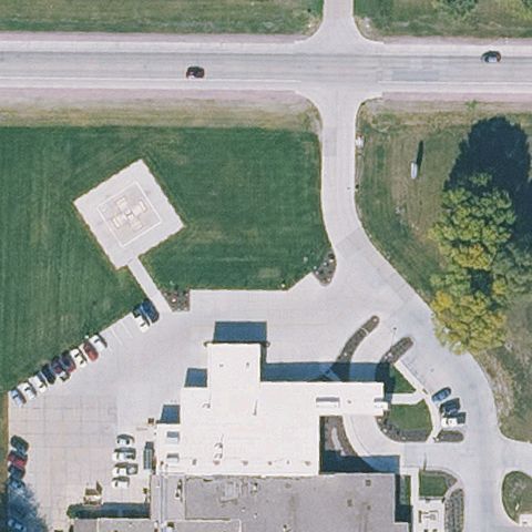
Light square pad present but offset left of image center.
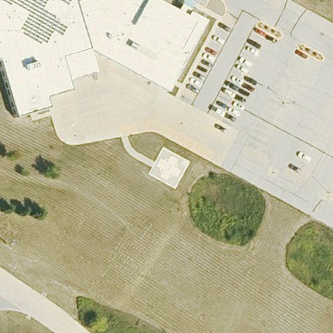 Off-center
ANAMOSA, IA
42.1009777780001, -91.2618666669999
Light square pad visible but offset left of center near the building.
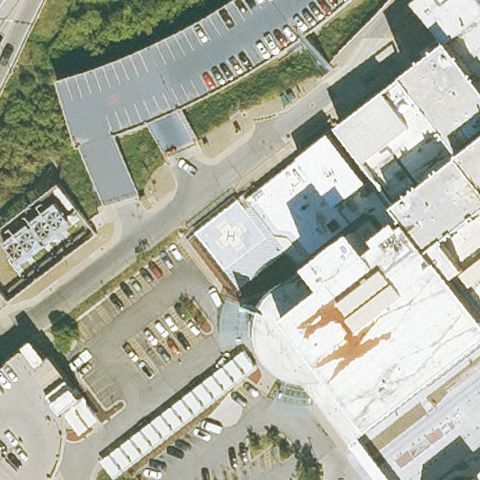 Uncertain
CEDAR RAPIDS, IA
41.9850777780001, -91.661561111
Center is generic hospital rooftops with no clear pad marking.
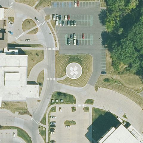 Uncertain
DES MOINES, IA
41.6165333330001, -93.64055
Center is a decorative circular landscaped feature, not a helipad.
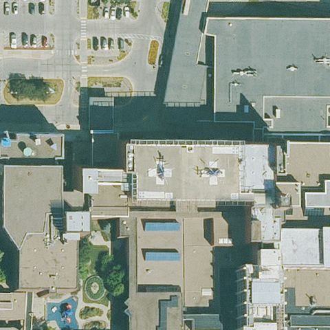 Uncertain
DES MOINES, IA
41.5896527780001, -93.633452778
Center is dark shadowed hospital rooftops with no clear pad.
 Uncertain
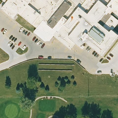
ATLANTIC, IA
41.4006166670001, -94.991297222
Center is lawn and parking with no visible pad marking.
 Uncertain
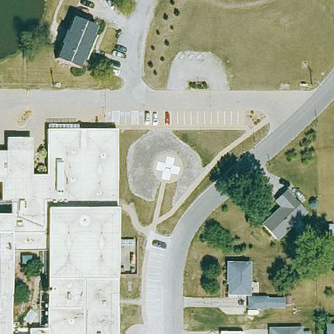
BLOOMFIELD, IA
40.759455556, -92.415052778
Center is a circular landscaped garden feature, not a helipad.
 Uncertain
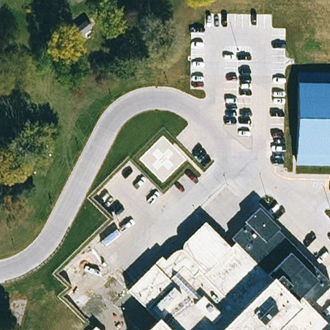
CHEROKEE, IA
42.7600944440001, -95.5482361109999
Center is driveway and parking with no clear pad marking.
 Uncertain
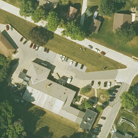
ELKADER, IA
42.8601027780001, -91.4151416669999
Center is parking lot pavement with no visible pad marking.
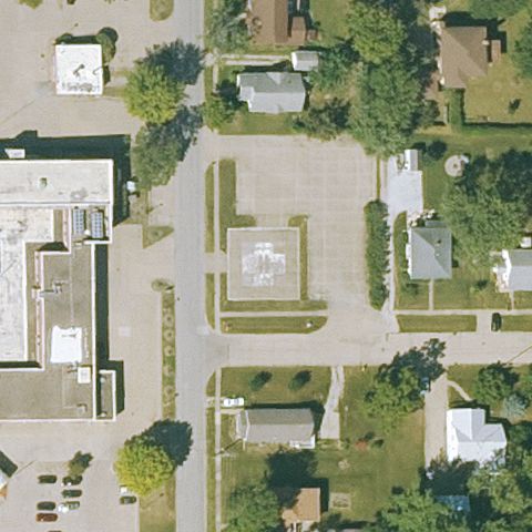 Uncertain
FAIRFIELD, IA
41.003975, -91.952088889
Center is parking and buildings with no clear pad marking.
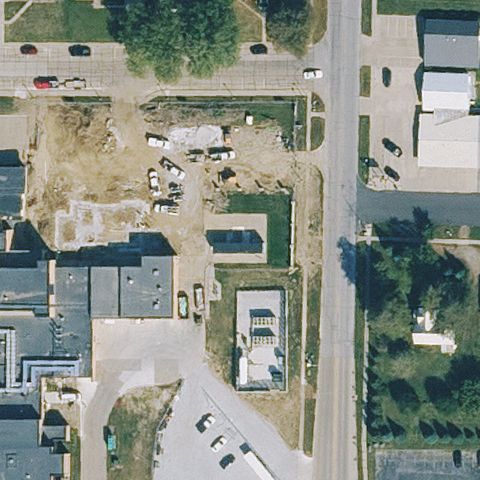 Uncertain
HARLAN, IA
41.647066667, -95.325858333
Center is an active construction/dirt site with no visible pad; imagery may predate the pad.
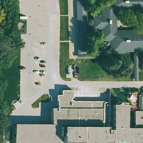 Uncertain
JEFFERSON, IA
42.0164777780001, -94.389688889
Center is pavement and buildings with no clear pad marking.
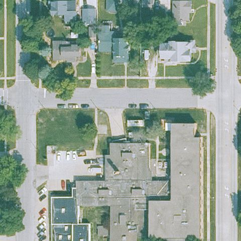 Uncertain
NEVADA, IA
42.0174872220001, -93.452989722
Center is residential streets and buildings with no visible pad.
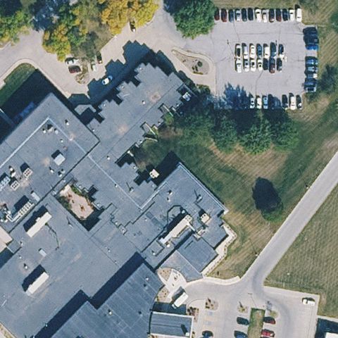 Uncertain
SHENANDOAH, IA
40.752772222, -95.3688749999999
Center is generic hospital rooftop with no clear pad marking.
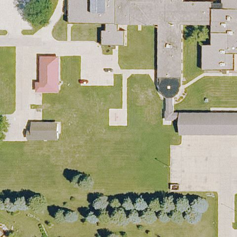 Uncertain
SIBLEY, IA
43.4096555560001, -95.743319444
Center is lawn with no visible pad marking.
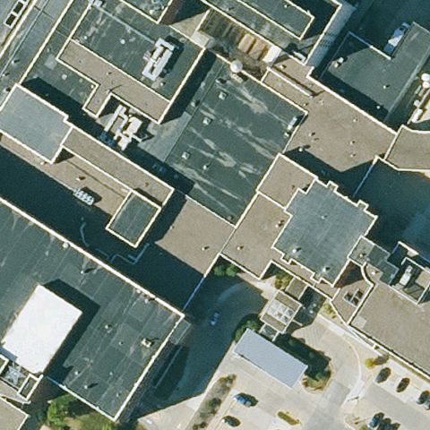 Uncertain
WATERLOO, IA
42.460805556, -92.3458277779999
Dense hospital rooftops at center with no clearly marked pad.
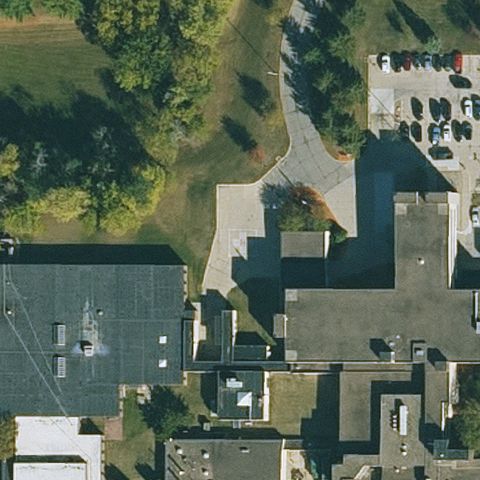 Uncertain
CEDAR FALLS, IA
42.5338833330001, -92.458397222
Hospital rooftops and grounds at center with no visible pad.
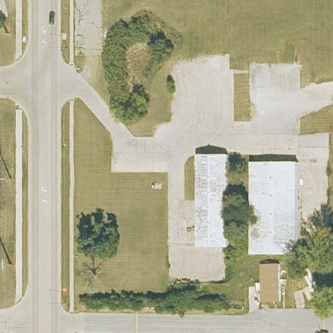 Uncertain
MARION, IA
42.0347583330001, -91.573722222
Center shows buildings, lots and grass with no visible pad.
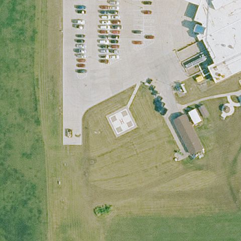 Confirmed
ALBIA, IA
41.043058333, -92.7977
White H pad marking on a prepared ground area near image center.
✓ Confirmed by AI vision with Claude Opus 4.8
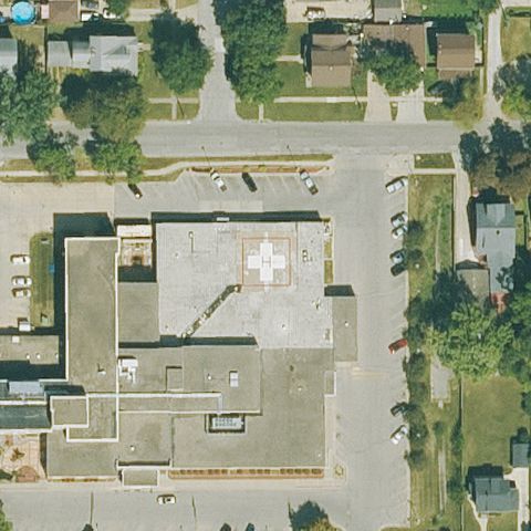 Confirmed
BOONE, IA
42.0562833330001, -93.876475
White H marking on the hospital rooftop at center.
✓ Confirmed by AI vision with Claude Opus 4.8
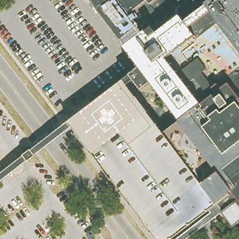 Confirmed
CEDAR RAPIDS, IA
41.9778111110001, -91.6566194439999
Marked pad visible on rooftop near image center.
✓ Confirmed by AI vision with Claude Opus 4.8
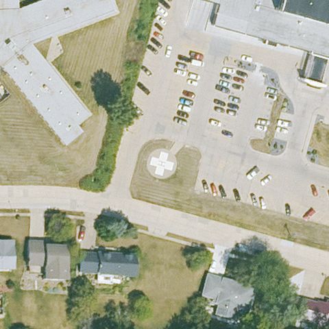 Confirmed
CLINTON, IA
41.8608833330001, -90.190333333
Circular touchdown marking on a prepared pad at center.
✓ Confirmed by AI vision with Claude Opus 4.8
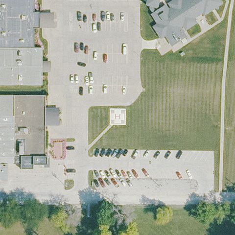 Confirmed
CORYDON, IA
40.753980556, -93.310533333
White-marked square pad on pavement near center.
✓ Confirmed by AI vision with Claude Opus 4.8
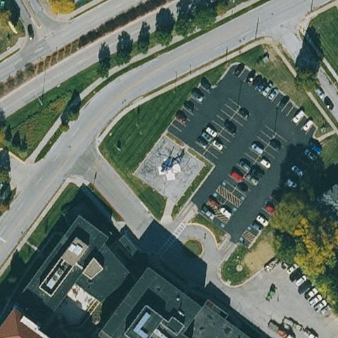 Confirmed
COUNCIL BLUFFS, IA
41.2694472220001, -95.834491667
Small marked circular pad near parking at center.
✓ Confirmed by AI vision with Claude Opus 4.8
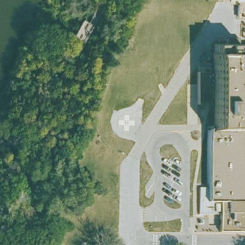 Confirmed
DES MOINES, IA
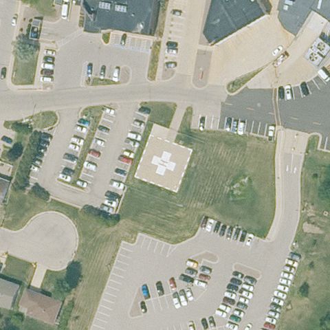
41.601897222, -93.6108694439999
White H/cross pad marking on prepared ground at center.
✓ Confirmed by AI vision with Claude Opus 4.8
 Confirmed
DUBUQUE, IA
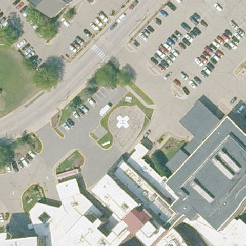
42.49165, -90.675863889
White H pad marking on prepared ground at center.
✓ Confirmed by AI vision with Claude Opus 4.8
 Confirmed
DUBUQUE, IA
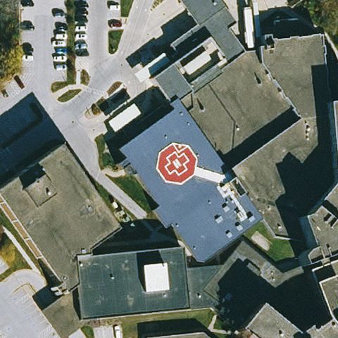
42.496911111, -90.686013889
White circular pad marking on pavement at center.
✓ Confirmed by AI vision with Claude Opus 4.8
 Confirmed
FORT DODGE, IA
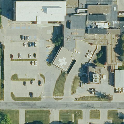
42.492916667, -94.192988889
Red-bordered circular helipad marking on rooftop near center.
✓ Confirmed by AI vision with Claude Opus 4.8
 Confirmed
GRINNELL, IA
41.7422250000001, -92.7346805559999
White H/cross pad marking on pavement at center.
✓ Confirmed by AI vision with Claude Opus 4.8
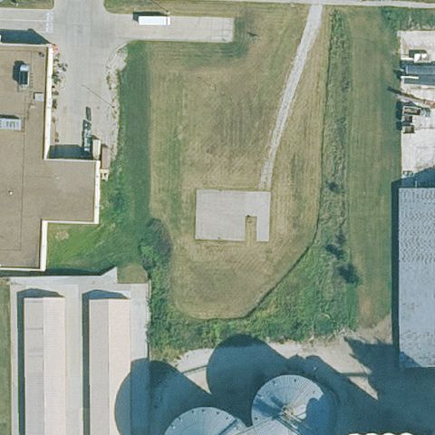 Confirmed
INDIANOLA, IA
41.3685472220001, -93.555472222
Distinct prepared concrete pad on grass at center.
✓ Confirmed by AI vision with Claude Opus 4.8
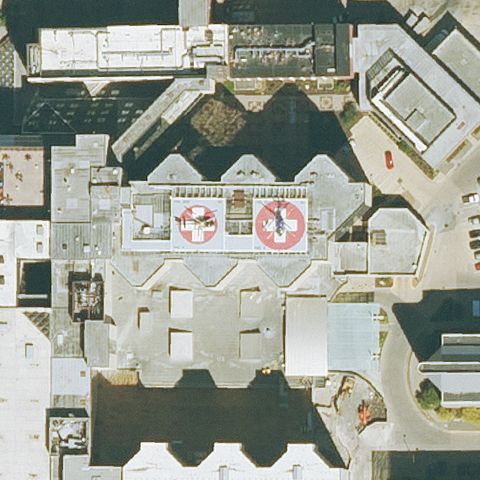 Confirmed
IOWA CITY, IA
41.659886111, -91.5475
Red-marked rooftop helipad near image center.
✓ Confirmed by AI vision with Claude Opus 4.8
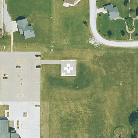 Confirmed
LEON, IA
40.7515138890001, -93.745636111
Concrete pad with white H marking on grass at center.
✓ Confirmed by AI vision with Claude Opus 4.8
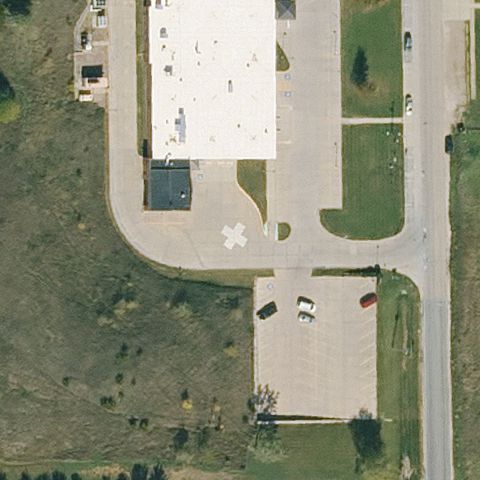 Confirmed
AUDUBON, IA
41.7148361110001, -94.9376999999999
White H/cross pad on pavement near building at center.
✓ Confirmed by AI vision with Claude Opus 4.8
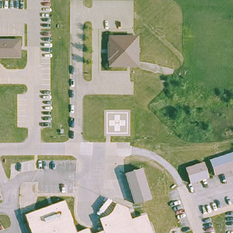 Confirmed
CENTERVILLE, IA
40.756425, -92.856844444
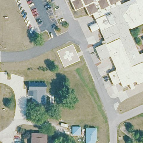
White-marked pad on grass at center.
✓ Confirmed by AI vision with Claude Opus 4.8
 Confirmed
CHARITON, IA
41.0274994440001, -93.302431389
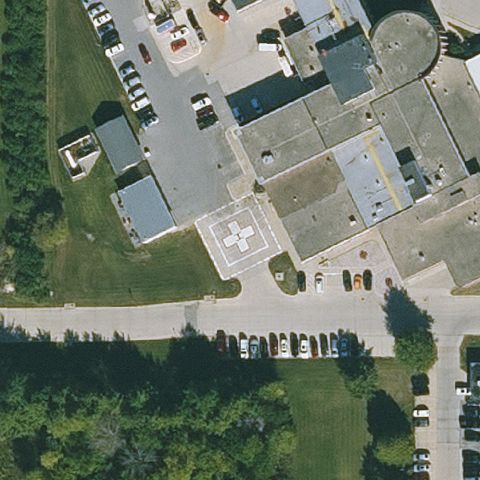
White H marking on a prepared pad at center.
✓ Confirmed by AI vision with Claude Opus 4.8
 Confirmed
CHARLES CITY, IA
43.0510444440001, -92.684172222
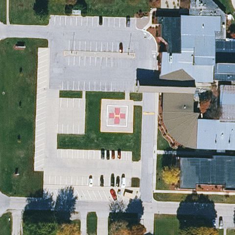
White H pad on pavement near the building at center.
✓ Confirmed by AI vision with Claude Opus 4.8
 Confirmed
CLARION, IA
42.721127778, -93.734422222
Square pad with red cross marking on pavement at center.
✓ Confirmed by AI vision with Claude Opus 4.8
 Confirmed
CRESTON, IA
41.0688944440001, -94.3831916669999
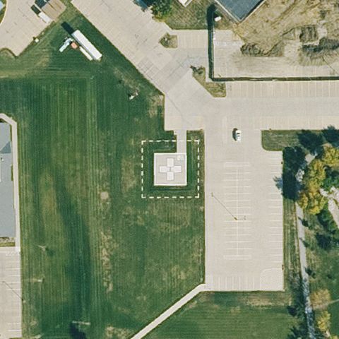
Distinct dashed-outline square pad on grass at center.
✓ Confirmed by AI vision with Claude Opus 4.8
 Confirmed
DAVENPORT, IA
41.544897222, -90.5936944439999
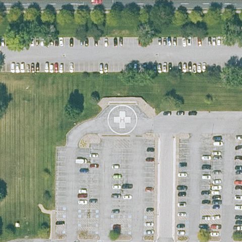
White circular H pad on pavement near parking at center.
✓ Confirmed by AI vision with Claude Opus 4.8
 Confirmed
DAVENPORT, IA
41.5417583330001, -90.556708333
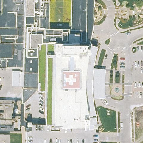
Red cross/H marked pad on building rooftop at center.
✓ Confirmed by AI vision with Claude Opus 4.8
 Confirmed
DECORAH, IA
43.2942166670001, -91.7752
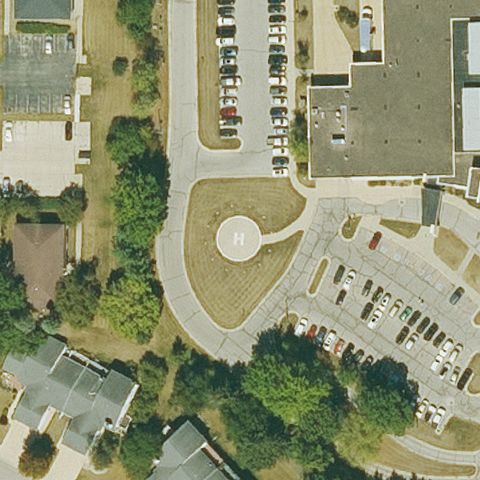
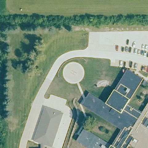
Light circular pad on pavement at center.
✓ Confirmed by AI vision with Claude Opus 4.8
 Confirmed
EMMETSBURG, IA
43.1206888890001, -94.692477778
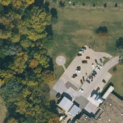
Light circular pad near a building at center.
✓ Confirmed by AI vision with Claude Opus 4.8
 Confirmed
HAMBURG, IA
40.621016667, -95.651191667
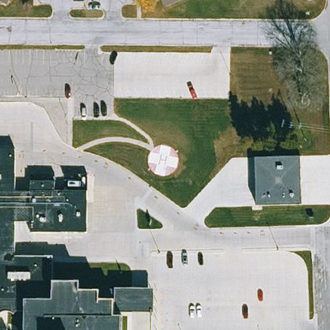
Faint circular pad marking near building and parking at center.
✓ Confirmed by AI vision with Claude Opus 4.8
 Confirmed
HUMBOLDT, IA
42.7330277780001, -94.2311194439999
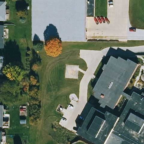
Light circular pad on grass at center.
✓ Confirmed by AI vision with Claude Opus 4.8
 Confirmed
IDA GROVE, IA
42.3391583330001, -95.460661111
Faint light circular pad on grass at center.
✓ Confirmed by AI vision with Claude Opus 4.8
 Confirmed
KNOXVILLE, IA
41.3115472220001, -93.111738889
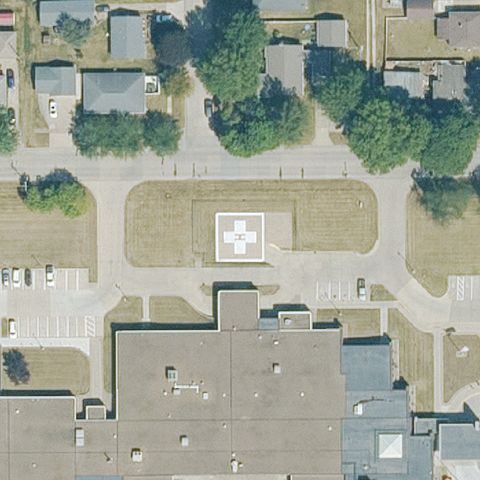
Square pad with white cross/H marking on pavement at center.
✓ Confirmed by AI vision with Claude Opus 4.8
 Confirmed
LAKE CITY, IA
42.2657083330001, -94.748230556
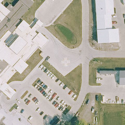
White H pad marking on pavement near parking at center.
✓ Confirmed by AI vision with Claude Opus 4.8
 Confirmed
MARSHALLTOWN, IA
42.049625, -92.904969444
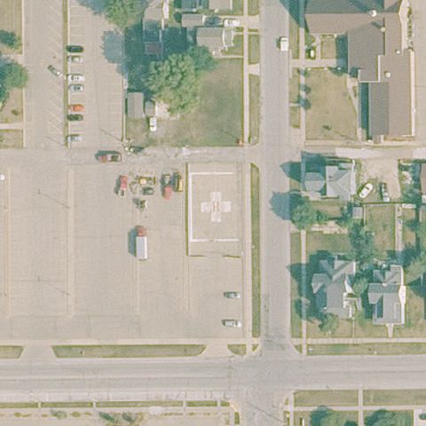
Square pad with red cross marking on pavement at center.
✓ Confirmed by AI vision with Claude Opus 4.8
 Confirmed
MOUNT PLEASANT, IA
40.9616694440001, -91.560363889
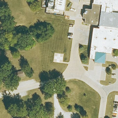
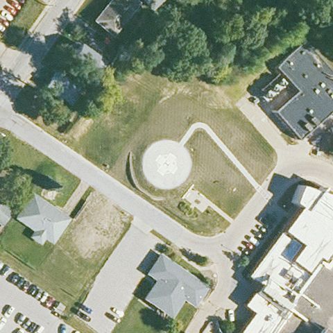
Small marked pad on grass near parking at center.
✓ Confirmed by AI vision with Claude Opus 4.8
 Confirmed
MUSCATINE, IA
41.433858333, -91.055244444
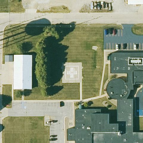
Light circular pad on a prepared area at center.
✓ Confirmed by AI vision with Claude Opus 4.8
 Confirmed
NEW HAMPTON, IA
43.0633500000001, -92.322058333
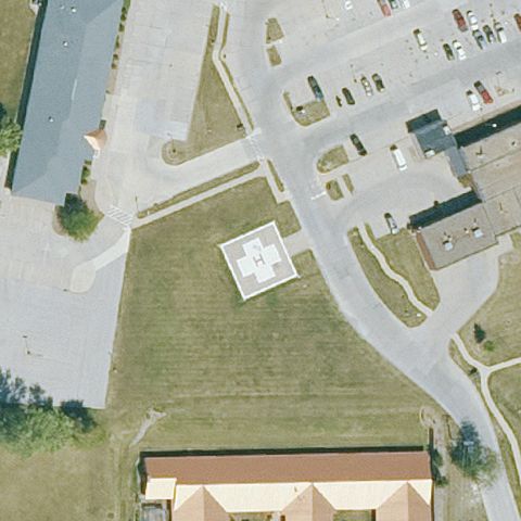
Marked square pad on grass at center.
✓ Confirmed by AI vision with Claude Opus 4.8
 Confirmed
OTTUMWA, IA
41.0289750000001, -92.391358333
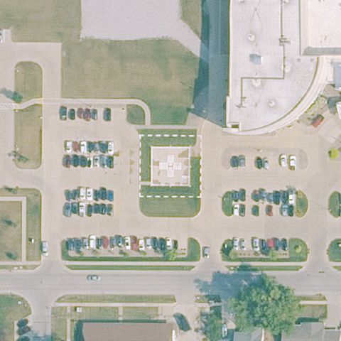
Square pad with white H marking at center.
✓ Confirmed by AI vision with Claude Opus 4.8
 Confirmed
PELLA, IA
41.4127250000001, -92.912352778
Small marked pad near parking and building at center.
✓ Confirmed by AI vision with Claude Opus 4.8
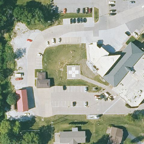 Confirmed
SIGOURNEY, IA
41.322433333, -92.2067361109999
Square pad with white H marking on pavement at center.
✓ Confirmed by AI vision with Claude Opus 4.8
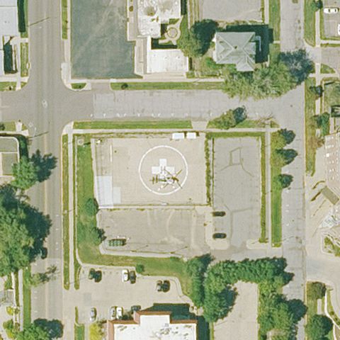 Confirmed
SIOUX CITY, IA
42.4972361110001, -96.401430556
Circular pad with white marking on pavement at center.
✓ Confirmed by AI vision with Claude Opus 4.8
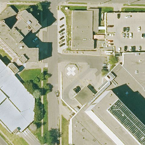 Confirmed
SIOUX CITY, IA
42.520116667, -96.4064499999999
Faint light-colored prepared pad near image center amid hospital pavement.
✓ Confirmed by AI vision with Claude Opus 4.8
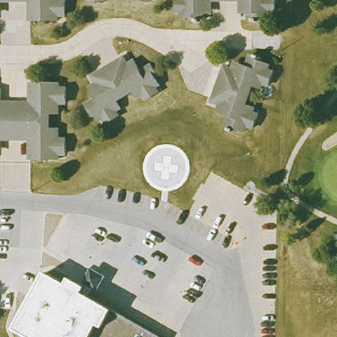 Confirmed
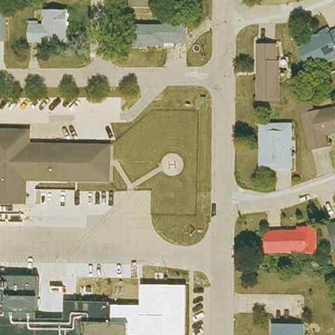
VINTON, IA
42.1744861110001, -92.0122
Clear circular touchdown pad with marking at the center on open lawn.
✓ Confirmed by AI vision with Claude Opus 4.8
 Confirmed
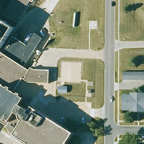
WASHINGTON, IA
41.289763889, -91.6865194439999
Square prepared pad with circular touchdown marker at center.
✓ Confirmed by AI vision with Claude Opus 4.8
 Confirmed
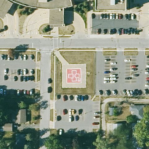
WATERLOO, IA
42.4610166670001, -92.3446472219999
Small square prepared pad with marking near center by the building.
✓ Confirmed by AI vision with Claude Opus 4.8
 Confirmed
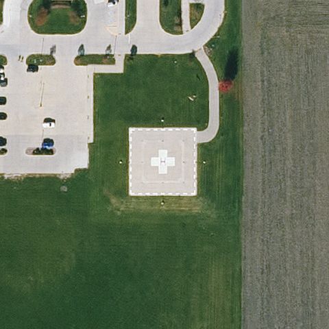
WATERLOO, IA
42.5254944440001, -92.339880556
Distinct red H pad in the parking area at image center.
✓ Confirmed by AI vision with Claude Opus 4.8
 Confirmed
WEBSTER CITY, IA
42.4517138890001, -93.811463889
White square pad with green medical cross at center beside the clinic.
✓ Confirmed by AI vision with Claude Opus 4.8
 Confirmed
NEWTON, IA
41.7036722220001, -93.051613889
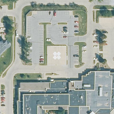
Circular touchdown marker at center in the hospital lot.
✓ Confirmed by AI vision with Claude Opus 4.8
 Confirmed
OELWEIN, IA
42.675775, -91.9016972219999
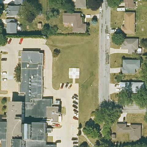
White square prepared pad at center on open ground.
✓ Confirmed by AI vision with Claude Opus 4.8
 Confirmed
RED OAK, IA
41.0275083330001, -95.2142666669999
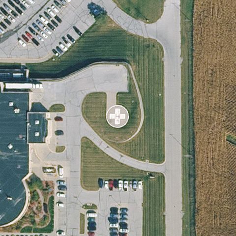
Circular H pad clearly at center on lawn beside the hospital.
✓ Confirmed by AI vision with Claude Opus 4.8
 Confirmed
ROCK VALLEY, IA
43.2012194440001, -96.28355
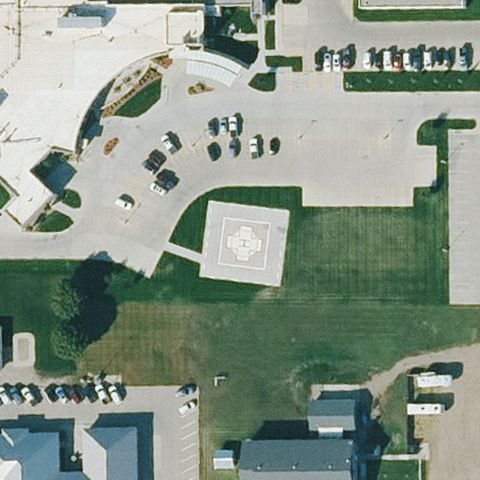
Square pad with medical cross at center on grass.
✓ Confirmed by AI vision with Claude Opus 4.8
 Confirmed
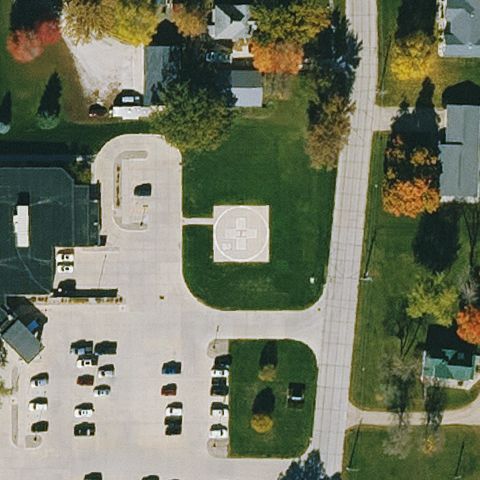
SAC CITY, IA
42.4188777780001, -94.978366667
Faint square prepared pad at center on grass area.
✓ Confirmed by AI vision with Claude Opus 4.8
 Confirmed
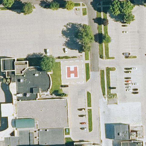
SPENCER, IA
43.150286861, -95.142765917
Large prominent red H pad centered next to the hospital lot.
✓ Confirmed by AI vision with Claude Opus 4.8
 Confirmed
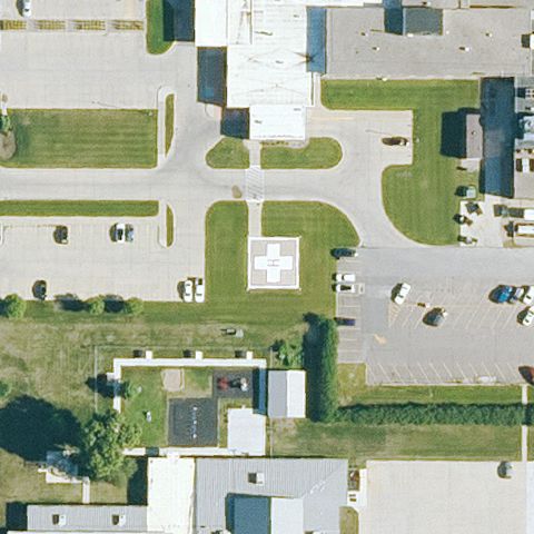
SPIRIT LAKE, IA
43.4170552780001, -95.125138611
Pad with medical cross marking at center in the campus drive area.
✓ Confirmed by AI vision with Claude Opus 4.8
 Confirmed
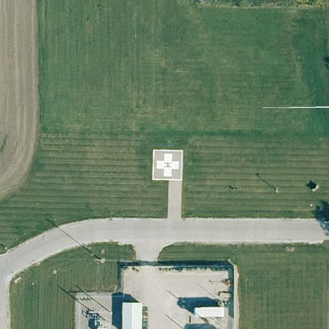
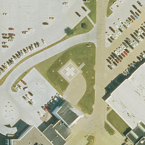
STUART, IA
41.4969305560001, -94.3274499999999
White pad with cross marking at center on open field by building.
✓ Confirmed by AI vision with Claude Opus 4.8
 Confirmed
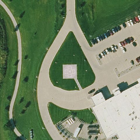
WEST BURLINGTON, IA
40.8106250000001, -91.1738833329999
Square prepared pad at center within the medical campus grounds.
✓ Confirmed by AI vision with Claude Opus 4.8
 Confirmed
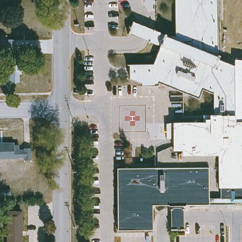
SIOUX CENTER, IA
43.0687722220001, -96.159258333
Square prepared pad at center on a landscaped teardrop island.
✓ Confirmed by AI vision with Claude Opus 4.8
 Confirmed
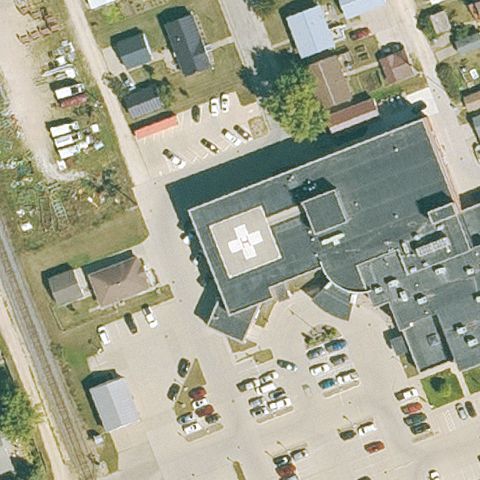
GRUNDY CENTER, IA
42.359583333, -92.762972222
Pad with red cross marking near center on hospital structure.
✓ Confirmed by AI vision with Claude Opus 4.8
 Confirmed
GUTTENBERG, IA
42.786033333, -91.0999416669999
Rooftop pad with cross marking at center of the hospital roof.
✓ Confirmed by AI vision with Claude Opus 4.8
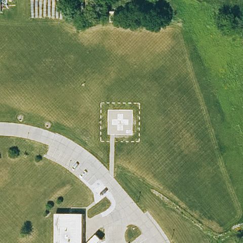 Confirmed
MT AYR, IA
40.7199055560001, -94.2223611109999
Square pad with cross marking at center on grass off the drive.
✓ Confirmed by AI vision with Claude Opus 4.8
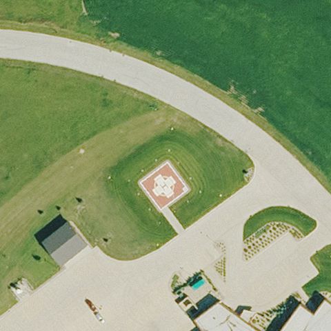 Confirmed
ROCK RAPIDS, IA
43.4218611110001, -96.1791111109999
Pad with cross/marking at center within the campus grounds.
✓ Confirmed by AI vision with Claude Opus 4.8
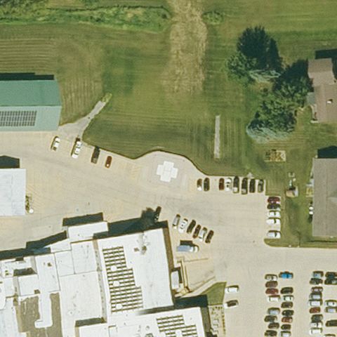 Confirmed
WEST UNION, IA
42.9689155560001, -91.809478472
Faint circular touchdown marking near center on pavement.
✓ Confirmed by AI vision with Claude Opus 4.8
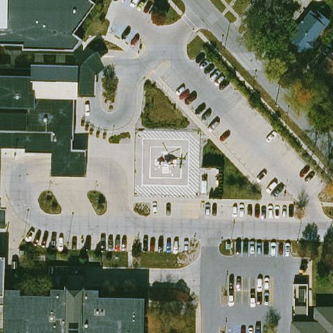 Confirmed
MASON CITY, IA
43.150383333, -93.215291667
Faint square prepared pad at center in the hospital lot.
✓ Confirmed by AI vision with Claude Opus 4.8
 Confirmed
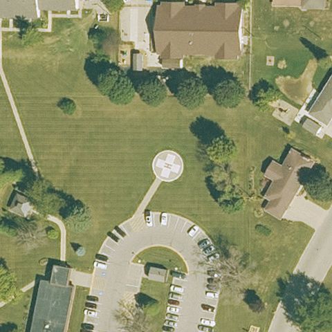
DYERSVILLE, IA
42.476711111, -91.130116667
Faint circular marking at center on lawn between buildings.
✓ Confirmed by AI vision with Claude Opus 4.8
 Confirmed
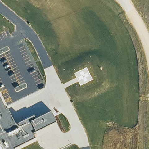
MAQUOKETA, IA
42.0463083330001, -90.6568583329999
Faint square prepared pad at center on grass by the lot.
✓ Confirmed by AI vision with Claude Opus 4.8
 Confirmed
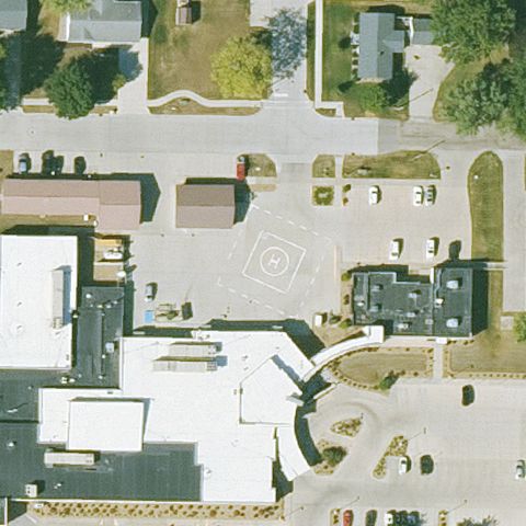
MARENGO, IA
41.8024611110001, -92.072761111
Faint square pad outline near center in the open lot area.
✓ Confirmed by AI vision with Claude Opus 4.8
 Confirmed
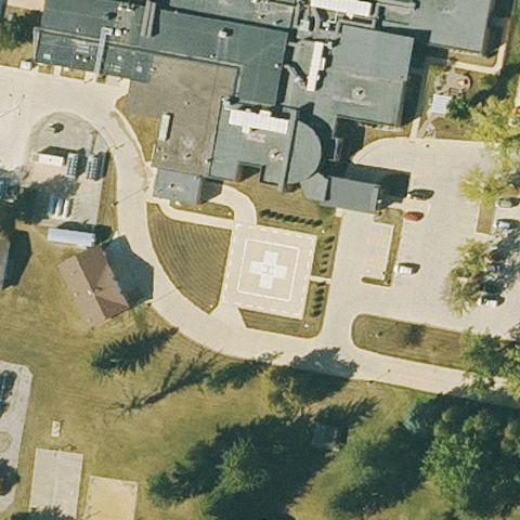
CRESCO, IA
43.380697222, -92.117783333
Pad with cross marking at center amid the campus drives.
✓ Confirmed by AI vision with Claude Opus 4.8
 Confirmed
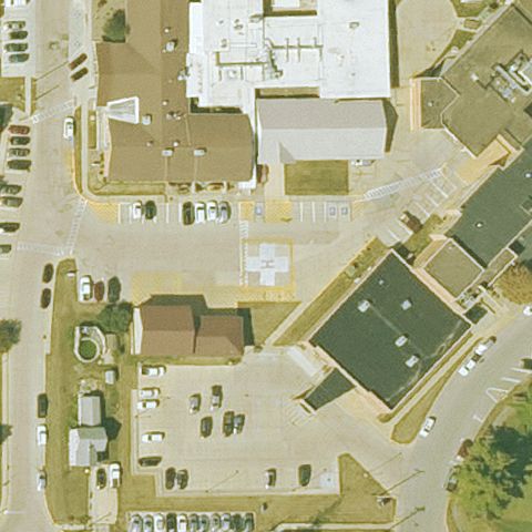
WAUKON, IA
43.2679805560001, -91.473769444
Faint light square pad near center in the lot by the building.
✓ Confirmed by AI vision with Claude Opus 4.8
 Confirmed
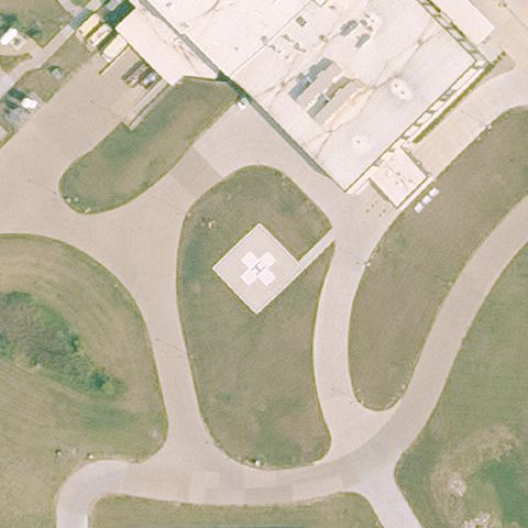
MARSHALLTOWN, IA
42.000788889, -92.915238889
Square pad with cross marking at center on landscaped grounds.
✓ Confirmed by AI vision with Claude Opus 4.8