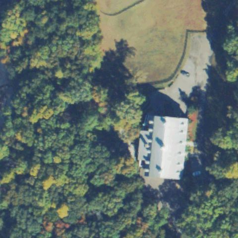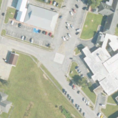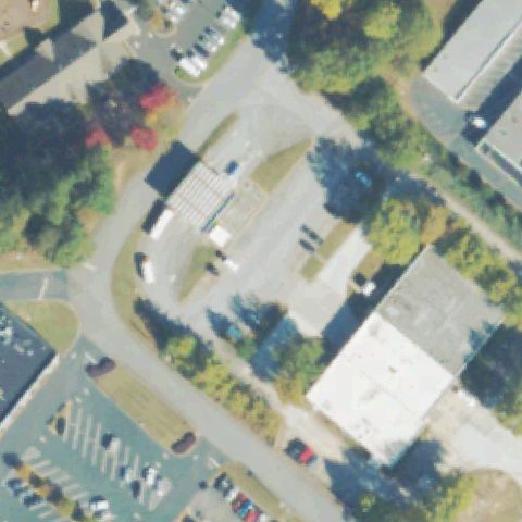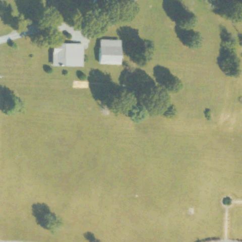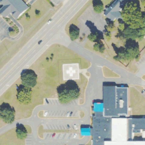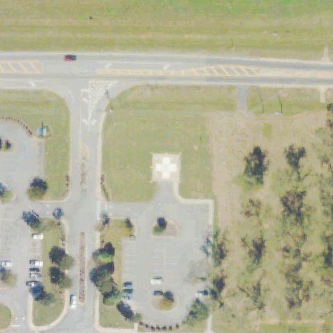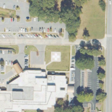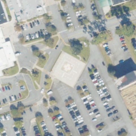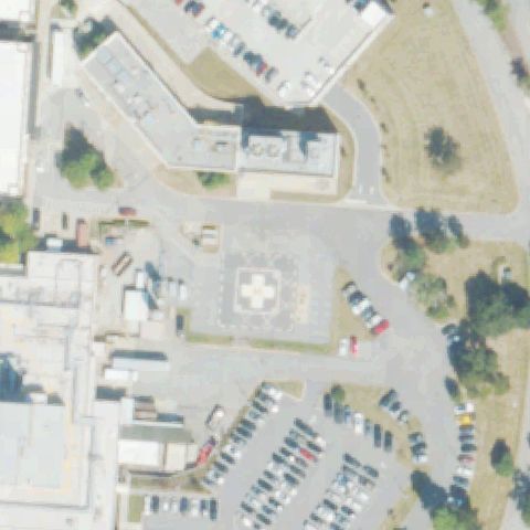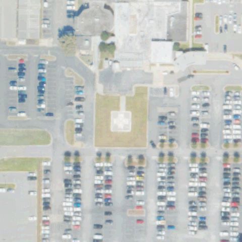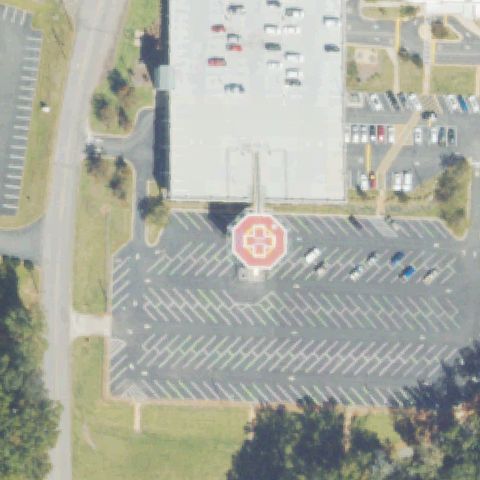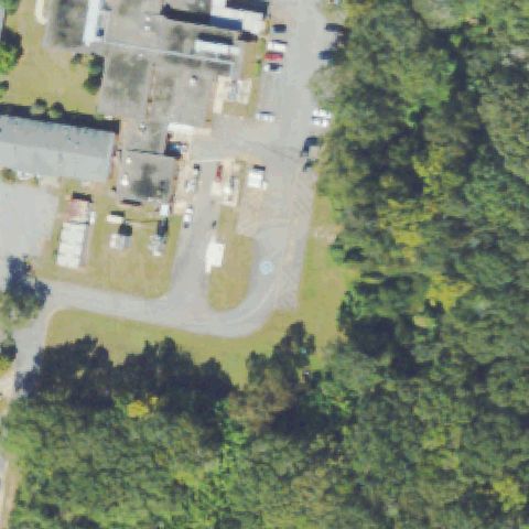
Not visibleGA24 Monroe County Hospital
FORSYTH, GA
33.030891667, -83.9450305559999
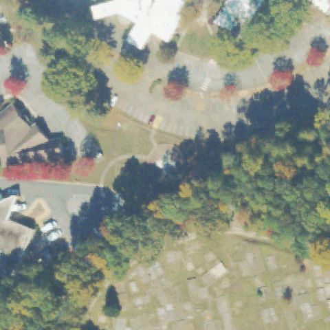
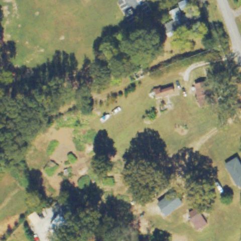
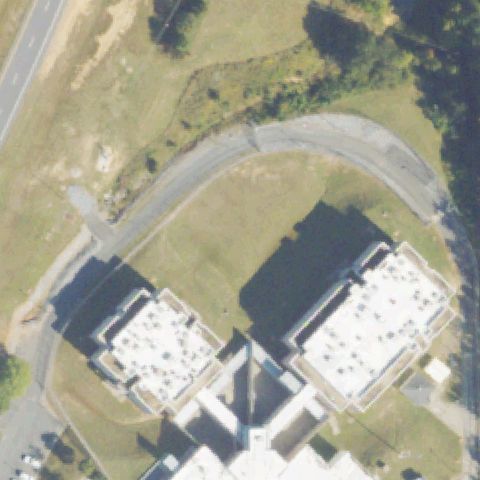
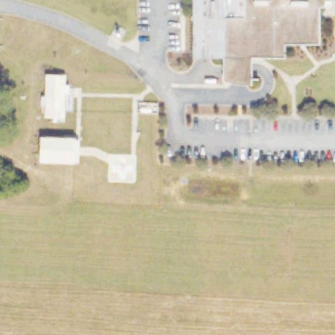
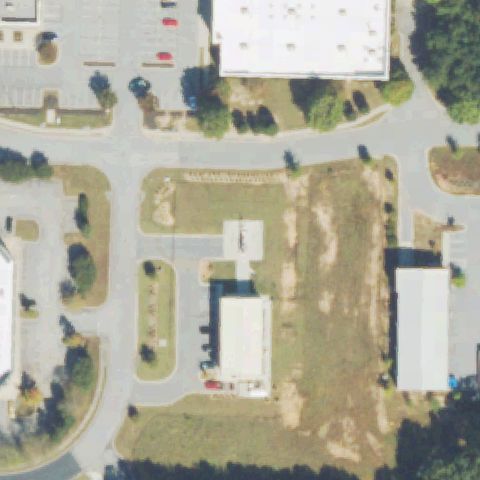
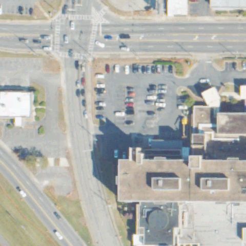
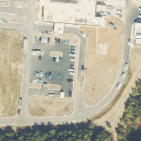
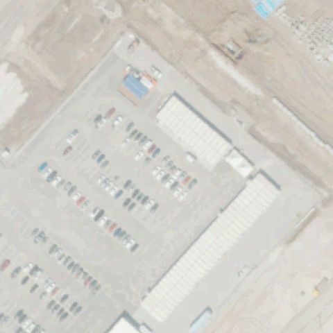
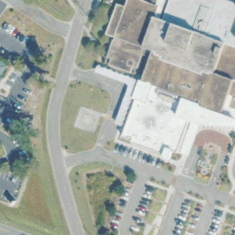
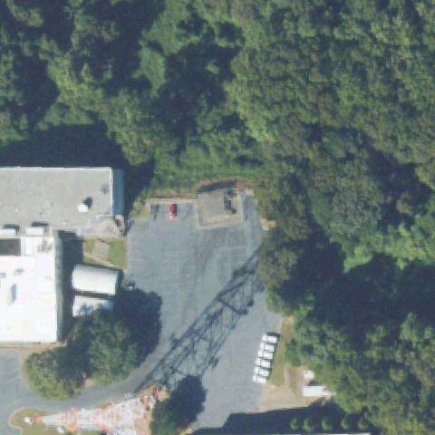
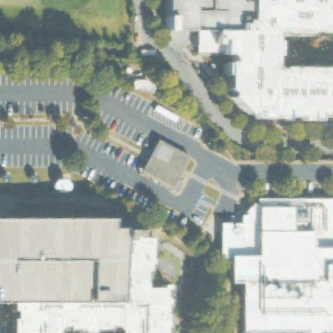
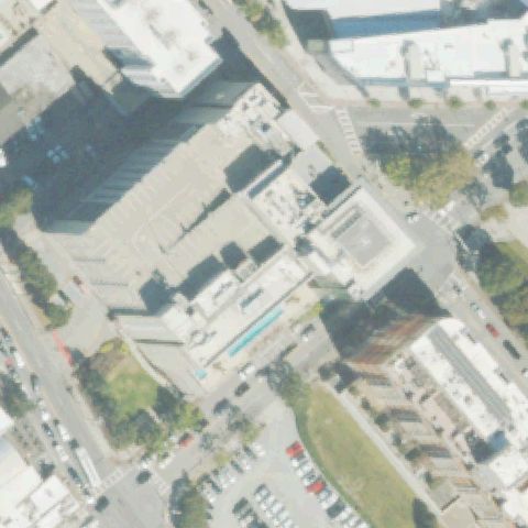
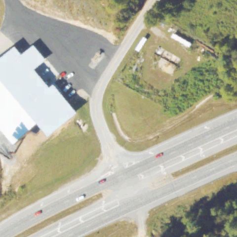
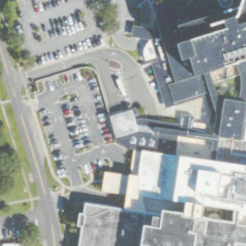
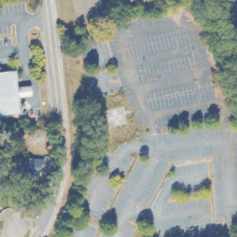
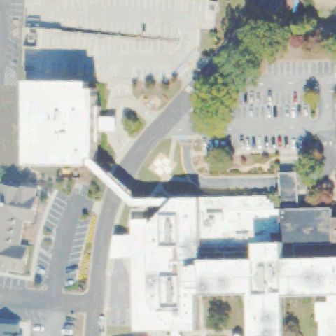
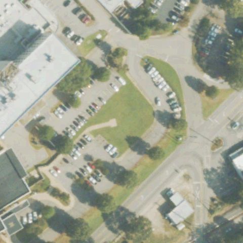
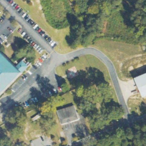
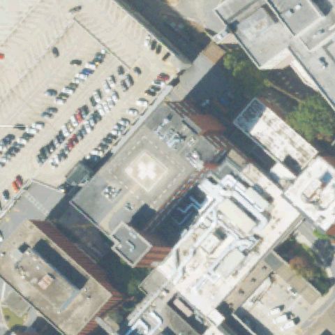
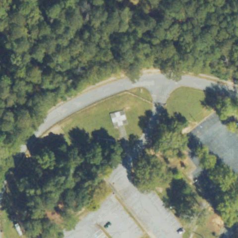
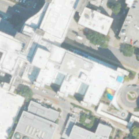
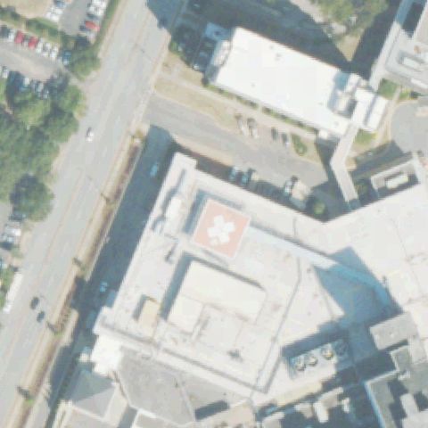
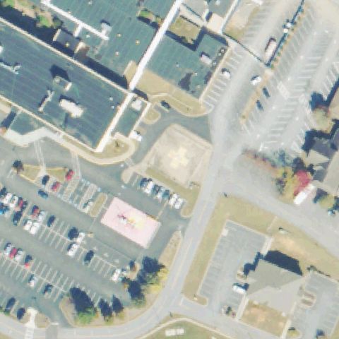
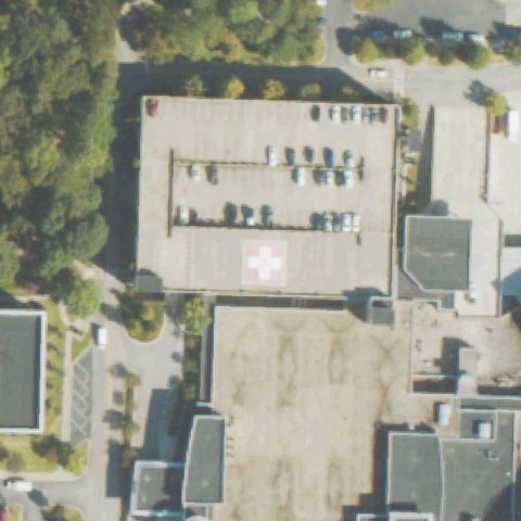
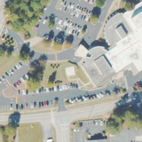
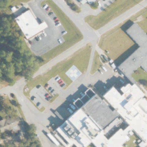
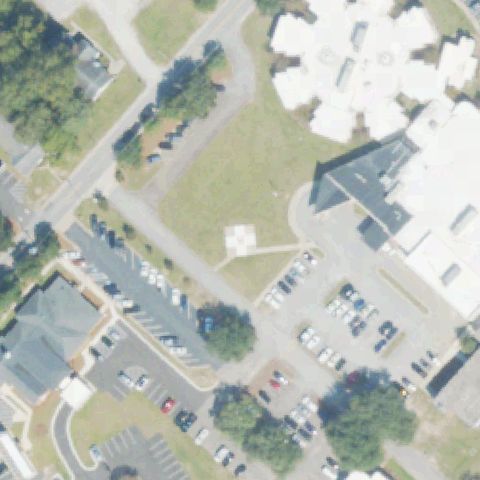
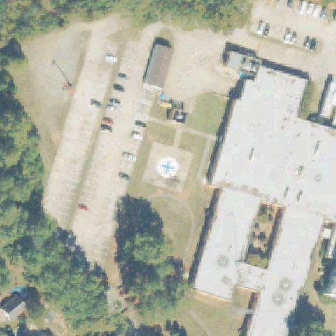
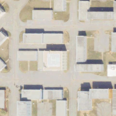
Low-resolution tile shows parking lots and buildings with no helipad at center.
Data: FAA Airports (ArcGIS open layer) | Imagery: USGS NAIP (public domain) | AI vision: Claude Opus 4.8 | built 2026-07-05
A flag means a pad could not be confirmed from current imagery - never that a heliport is missing, fake, or mislocated. Help us check: vote on each one below.
Not visibleFORSYTH, GA
33.030891667, -83.9450305559999
Low-resolution tile shows parking lots and buildings with no helipad at center.
Not visibleGAINESVILLE, GA
34.3194333330001, -83.795866667
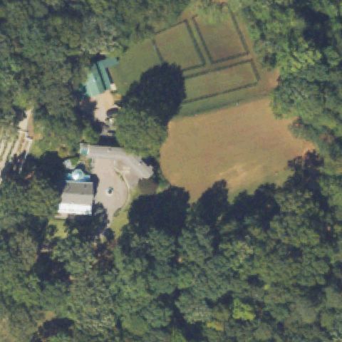
Center is dense trees and roads with no visible landing pad.
Not visibleGAINESVILLE, GA
34.2542500000001, -83.9684999999999
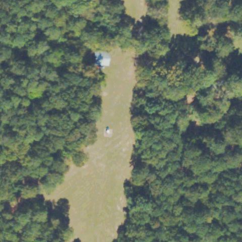
Tile is entirely forest canopy with no pad.
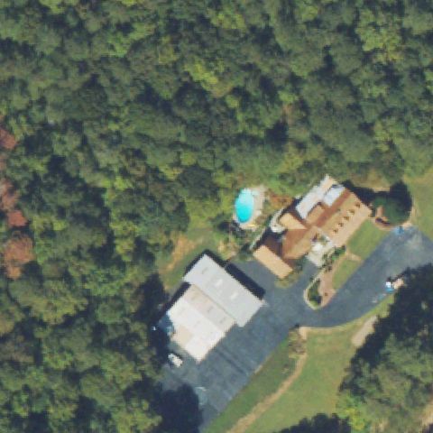
Not visibleMARIETTA, GA
34.004505556, -84.448033333
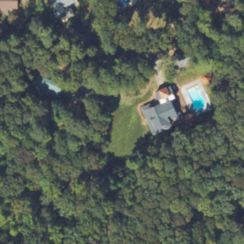
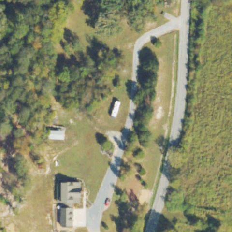
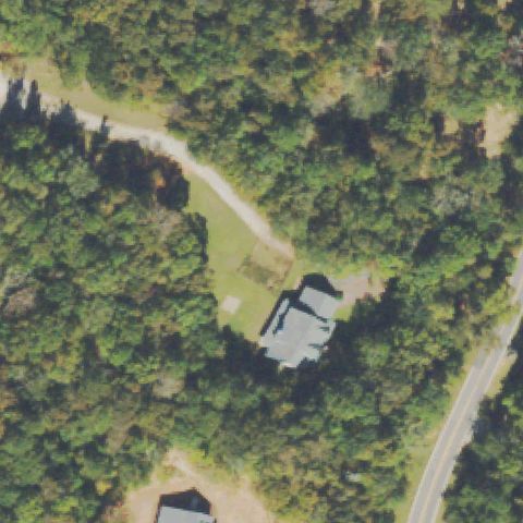
Center is forest and a small residence with no pad.
Not visibleMARIETTA, GA
33.886455556, -84.465233333
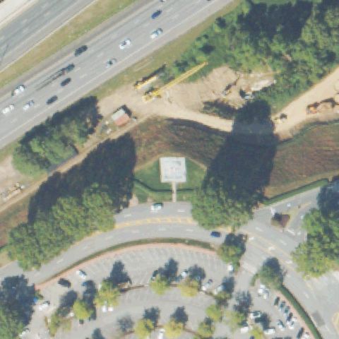
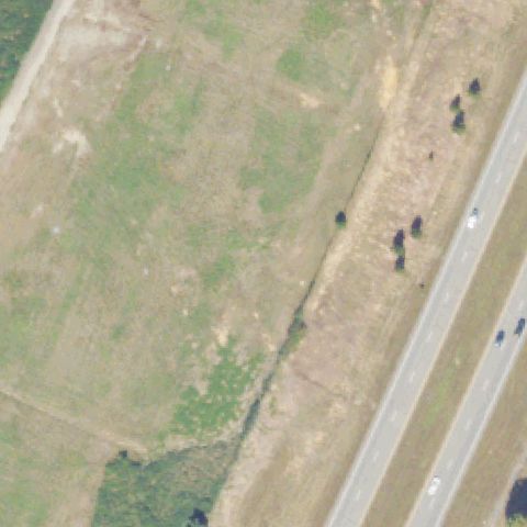
Construction-cleared ground and grass near a highway, no visible pad.
Not visibleREDAN, GA
33.7534397220001, -84.162140278
Rural residential and forest with no landing pad at center.
Not visibleSANDY SPRINGS, GA
33.989544444, -84.3321472219999
Residential property with a tennis court and trees, no helipad.
Not visibleWASHINGTON, GA
33.646166667, -82.6544499999999
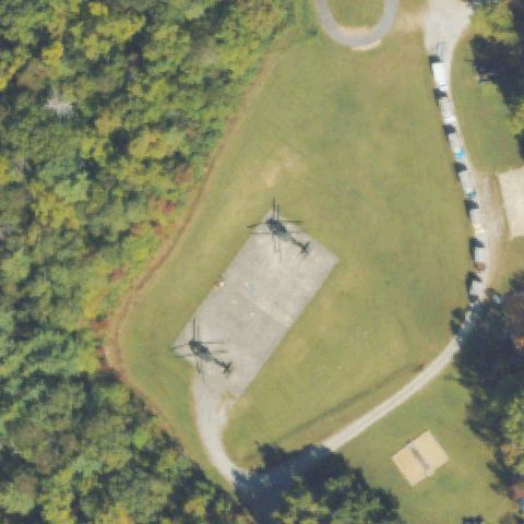
Forested area with a muddy clearing and small object, no defined helipad at center.
Not visibleOCILLA, GA
31.5177444440001, -83.1322499999999
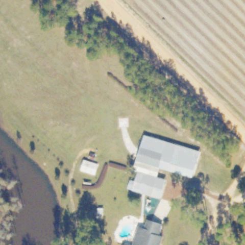
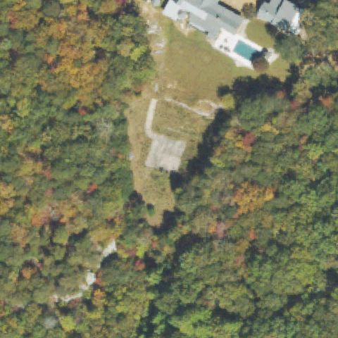
Rural residence with pool and farmland, no helipad at center.
Not visibleROME, GA
34.2809222220001, -85.141558333
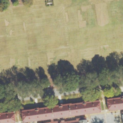
Center is grass and detention-facility buildings with no pad markings.
Not visiblePERRY, GA
32.458333333, -83.710277778
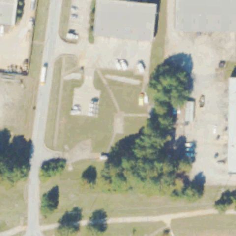
Center is open field beside small buildings and parking; no pad visible.
Not visibleFAYETTEVILLE, GA
33.4822722220001, -84.4331999999999
Center is a vacant grass lot and small building, no pad markings.
Not visibleROME, GA
34.259997222, -85.180322222
Center is a road intersection, parking lot, and buildings with no pad.
Not visibleDAHLONEGA, GA
34.459616667, -83.971219444
Center is a parking lot beside the hospital with no pad markings.
Not visibleROCKY FACE, GA
34.7026111110001, -85.068027778
Center is forest and clearing with small structures, no pad visible.
Not visibleEAST ELLIJAY, GA
34.6626373610001, -84.4897581389999
Center is open field and roadway; imagery likely predates construction.
Not visibleGROVETOWN, GA
33.4806333330001, -82.1879361109999
Center is bare graded ground with faint shapes, no clear pad; likely predates construction.
Not visibleELLABELL, GA
32.1701208330001, -81.454075
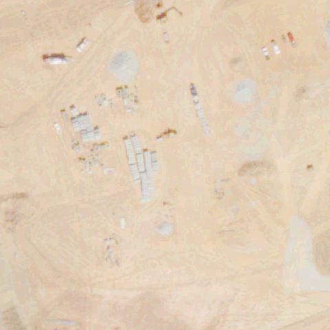
Center is a construction/parking area at the plant site with no pad markings.
Not visibleMONROE, GA
33.719713889, -83.6743611109999
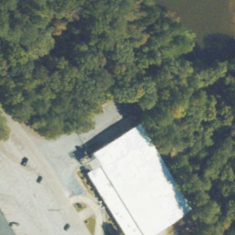
Low-resolution tile of a lake and field margin with no pad visible.
Not visibleMONROE, GA
33.8136111110001, -83.584722222
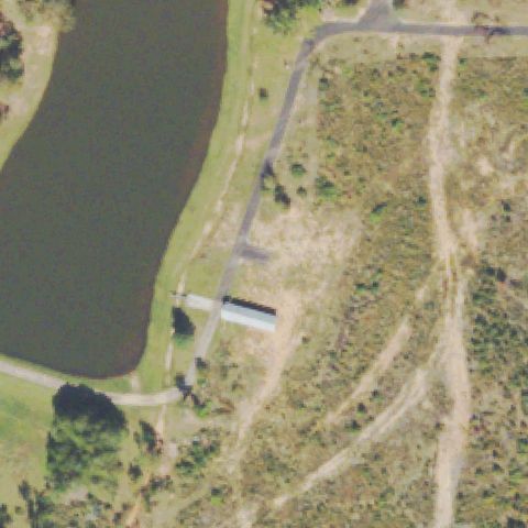
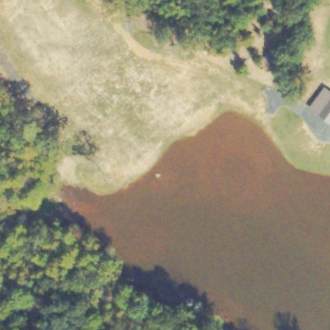
Center is open water and sandy shoreline, no pad present.
Not visibleGOOD HOPE, GA
33.8105555560001, -83.552083333
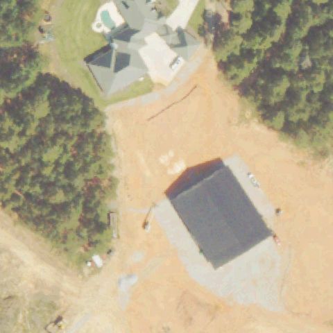
Center is a graded dirt lot with a structure under construction, no pad.
Not visibleCUMMING, GA
34.2283333330001, -84.0588888889999
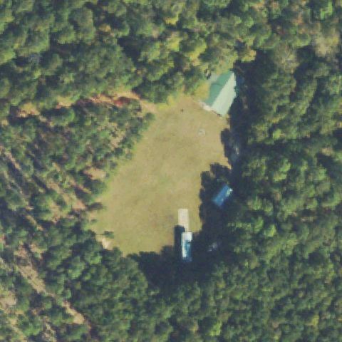
Center is grass pasture with trees and a few outbuildings, no pad visible.
Off-centerAUSTELL, GA
33.8572, -84.606680556
Small red/white square pad marking on grass left of the center.
Off-centerCUMMING, GA
34.2603472220001, -84.0663499999999
White square pad outline on pavement left of the image center.
Off-centerDUBLIN, GA
32.5333444440001, -82.950475
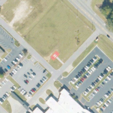
Red square with white H marking on a grass field below-left of center.
Off-centerDULUTH, GA
34.0675000000001, -84.1775
Circular pad with white cross marking sits below-left of the image center.
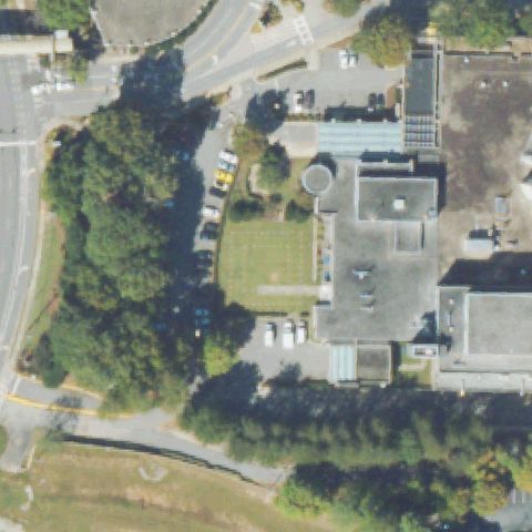
Off-centerFORSYTH, GA
33.0601638890001, -83.9622666669999
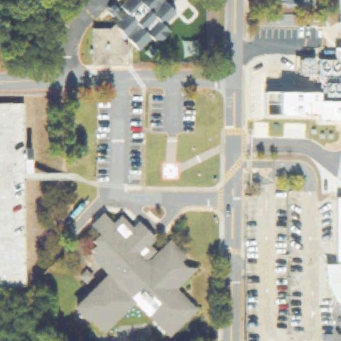
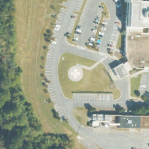
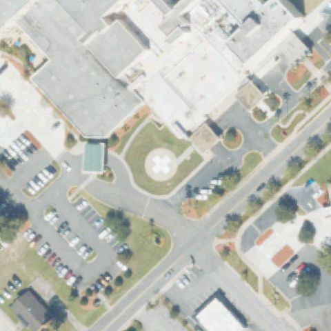
Round light pad lies left of center beside a building and parking lot.
Off-centerLAWRENCEVILLE, GA
33.9635138890001, -84.0182944439999
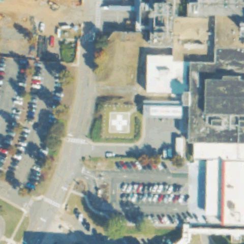
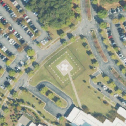
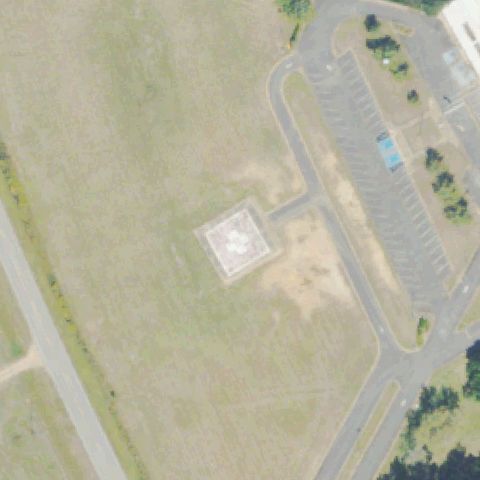
Square pad with white cross sits just left of center near the hospital.
Off-centerMARIETTA, GA
33.9685115560001, -84.549215944
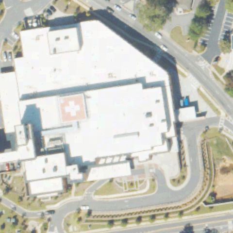
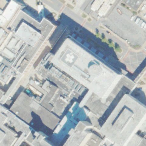
Rooftop pad with white cross marking lies left of center on the hospital roof.
Off-centerMETTER, GA
32.407527778, -82.0651444439999
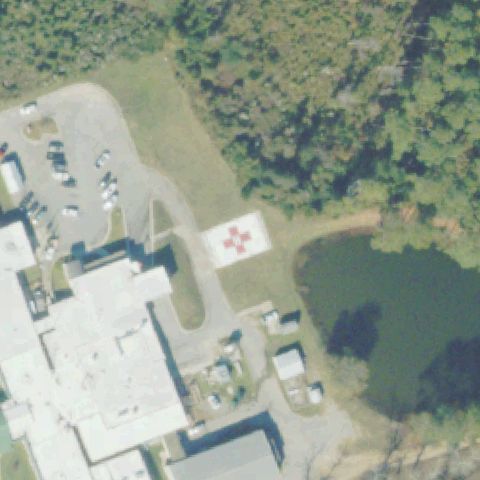
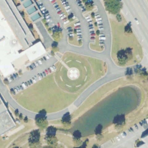
Red pad with white cross marking sits left of center beside the hospital and pond.
Off-centerSAVANNAH, GA
31.9848416670001, -81.156061111
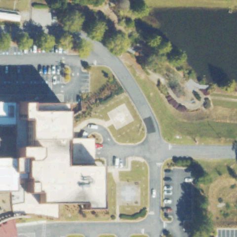
Faint round pad on grass left of center near a large hospital building.
Off-centerWAYNESBORO, GA
33.125433333, -81.744461111
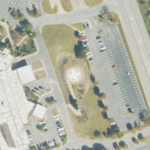
Square pad with painted H marking sits left of center near a large parking lot.
Off-centerAMERICUS, GA
32.066872222, -84.253033333
Square pad with circle marking sits just below-left of center near a base building.
Off-centerROME, GA
34.2775888890001, -85.193963889
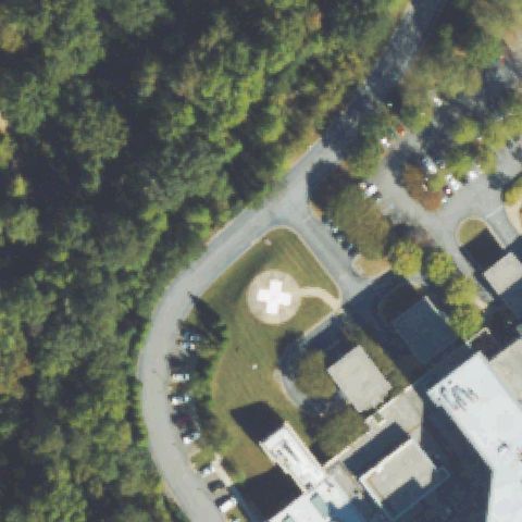
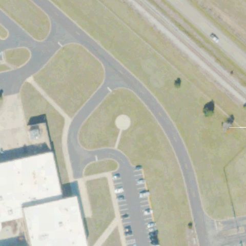
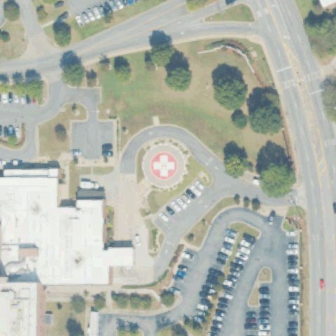
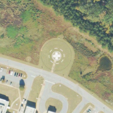
Round pad with white cross marking lies left of center beside the medical center.
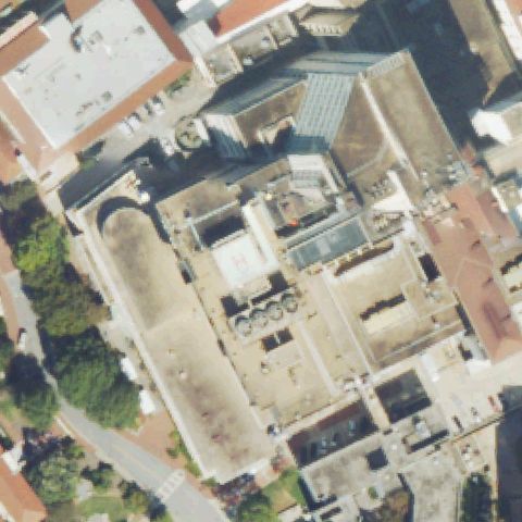
Off-centerATLANTA, GA
33.808, -84.394138889
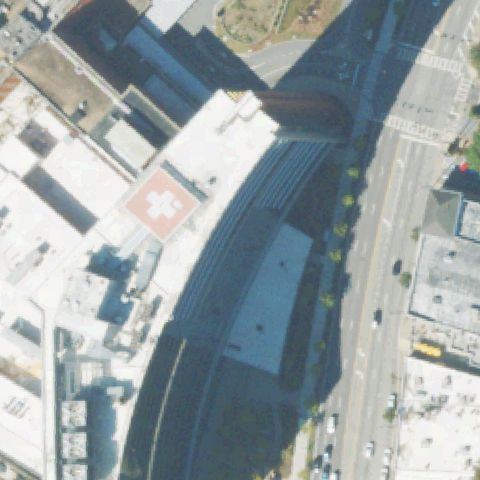
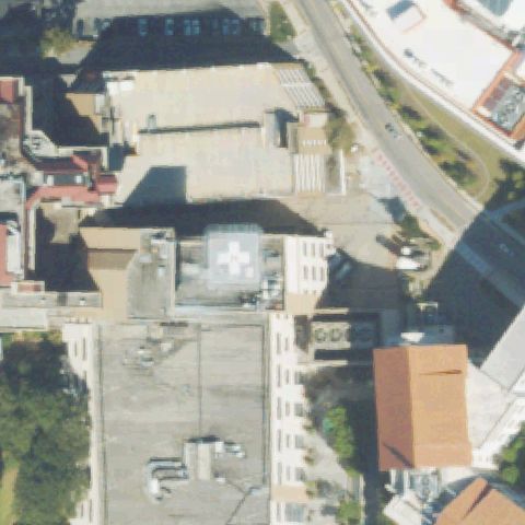
Red rooftop pad with white cross marking sits left of center, not at the image center.
Off-centerCUMMING, GA
34.179833333, -84.140166667
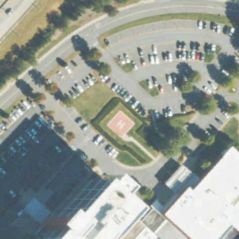
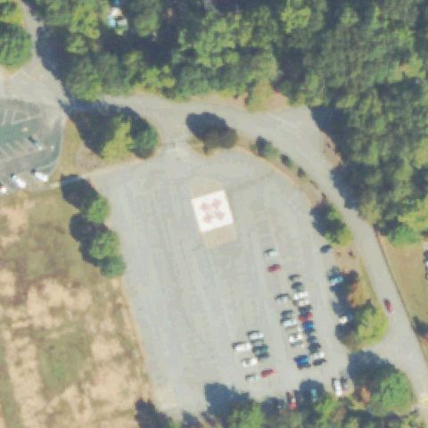
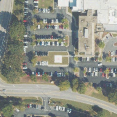
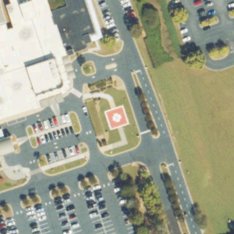
Red square pad with an H marking is visible left of center amid parking lots.
Off-centerALBANY, GA
31.591666667, -84.157505556
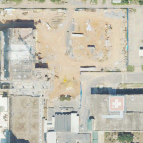
Red rooftop pad with white cross is in the lower-right, off the center which is a construction site.
Off-centerFAYETTEVILLE, GA
33.4530361110001, -84.5067749999999
A faint circular pad appears near center-left by the building, but imagery is soft.
Off-centerAUGUSTA, GA
33.523083333, -82.0263027779999
A light square pad with a marking is left of center near the building and circle drive.
Off-centerHIRAM, GA
33.899816667, -84.7810666669999
White square pad with a cross marking is left of center beside the hospital lot.
Off-centerROSWELL, GA
34.0629635280001, -84.321138944
A faint circular pad appears off-center amid parking; imagery is low-resolution.
UncertainATLANTA, GA
33.768666667, -84.386875
Dense urban rooftops with no distinct pad marking at center.
UncertainATLANTA, GA
33.791919444, -84.322586111
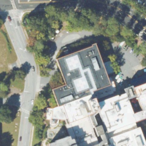
Hospital rooftop complex with no clear pad discernible at center.
UncertainATLANTA, GA
33.908363889, -84.351019444
Building roofs and grounds with no distinct pad at the image center.
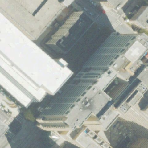
UncertainATLANTA, GA
33.752276389, -84.3823944439999
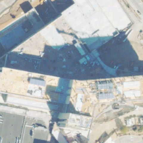
Oblique view of downtown skyscrapers with no visible pad at center.
UncertainATLANTA, GA
33.8825000000001, -84.4358333329999
Residential property with pool and lawn, no helipad at center.
UncertainATLANTA, GA
33.799438889, -84.386447222
TV station lot and tower with no distinct pad marking at center.
UncertainATLANTA, GA
33.7873527780001, -84.401052778
Parking lots and buildings with no distinct helipad at center.
UncertainATLANTA, GA
33.7619444440001, -84.395555556
Urban building complex with no clear pad at the image center.
UncertainBLUE RIDGE, GA
34.828055556, -84.354722222
Road intersection and buildings with no pad at center.
UncertainBRUNSWICK, GA
31.1754777780001, -81.485166667
Parking lots and buildings with no distinct pad at center.
UncertainBUCKHEAD, GA
33.4997222220001, -83.320555556
Forest with a house clearing and no pad at the image center.
UncertainCONYERS, GA
33.649772222, -84.021966667
Industrial yard with no clear pad marking at center.
UncertainFORT MCPHERSON, GA
33.7125, -84.4305555559999
Open grass field with no distinct pad at center.
UncertainGAINESVILLE, GA
34.3364872220001, -83.943516667
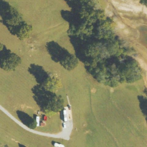
Forest with a building and no pad at the image center.
UncertainBAXLEY, GA
31.7694666670001, -82.349830556
Parking lots and buildings with no clear pad at center.
UncertainBUFORD, GA
34.0987500000001, -84.012147222
Buildings and lots with no distinct helipad at the image center.
UncertainCALHOUN, GA
34.4511994440001, -84.934386944
Farm field with barns and no pad at the image center.
UncertainCARLTON, GA
33.997377778, -83.0392666669999
Forest clearing with no distinct pad or marking at center.
UncertainCANTON, GA
34.246766667, -84.491172222
Parking lots with a faint square but no clear pad marking at center.
UncertainCOVINGTON, GA
33.6018, -83.848680556
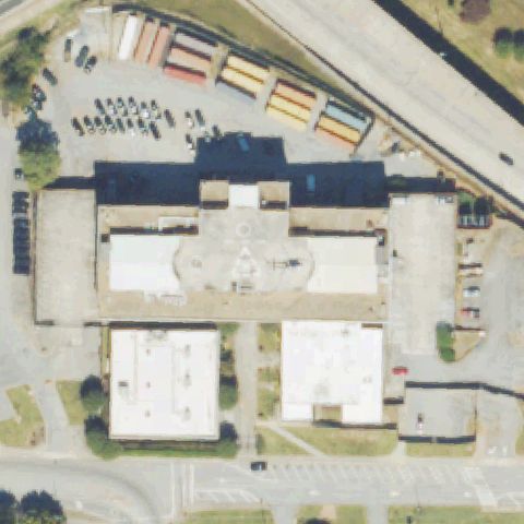
Hospital complex with walkways and roofs but no clear pad at center.
UncertainLAGRANGE, GA
33.0314194440001, -85.057197222
Center shows lawn, parking, and roads with no clear pad.
UncertainVILLA RICA, GA
33.7445000000001, -84.9151138889999
Roads, grass, and parking near a building with no visible pad at center.
UncertainSTONE MOUNTAIN, GA
33.819308333, -84.150686111
Trees and a building roof at center with no visible pad.
UncertainSTONE MOUNTAIN, GA
33.8208333330001, -84.1280555559999
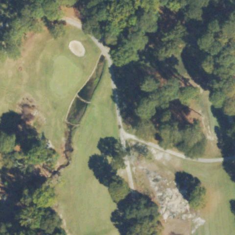
Golf course and forest, faint object off-center but no pad at center.
UncertainTRENTON, GA
34.790822222, -85.4636055559999
Forest and residences with a faint concrete patch off-center, no clear pad.
UncertainUNION CITY, GA
33.6024861110001, -84.5497722219999
Residential and forest tile with a faint square object near center, markings unclear.
UncertainSTATESBORO, GA
32.3921583330001, -81.7515861109999
Rural buildings and field with a faint center object but no clear pad markings.
UncertainTIFTON, GA
31.4361111110001, -83.478611111
Building and parking near a road; a faint square pad sits off-center, none at center.
UncertainGAINESVILLE, GA
34.305961111, -83.816227778
Center is shadowed hospital rooftops with no clearly visible pad marking.
UncertainLINDALE, GA
34.2, -85.416666667
Tile is blank/blurred with no usable imagery to identify a pad.
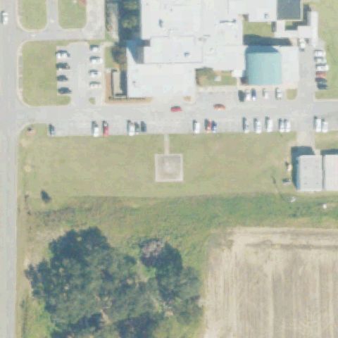
ConfirmedATHENS, GA
33.948461111, -83.407061111
White pad with red H/cross marking at center of a ground-level lot.
✓ Confirmed by AI vision with Claude Opus 4.8
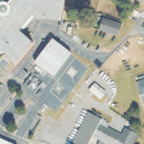
ConfirmedATLANTA, GA
33.7940833330001, -84.319283333
Rooftop pad with white H/cross marking at image center.
✓ Confirmed by AI vision with Claude Opus 4.8
ConfirmedATLANTA, GA
33.907222222, -84.354166667
Faint pad marking on a building rooftop near center in a low-res tile.
✓ Confirmed by AI vision with Claude Opus 4.8
ConfirmedATLANTA, GA
33.8096694440001, -84.3951499999999
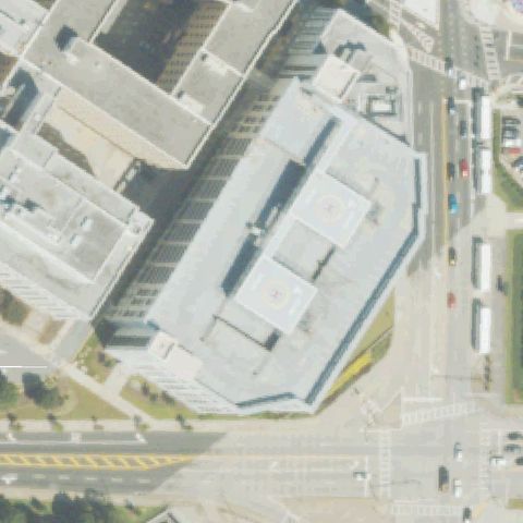
Faint white H marking on a rooftop near the image center.
✓ Confirmed by AI vision with Claude Opus 4.8
ConfirmedATLANTA, GA
33.747427778, -84.388258333
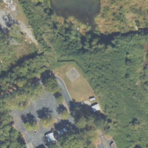
Two circular rooftop pads with orange circle markings near center.
✓ Confirmed by AI vision with Claude Opus 4.8
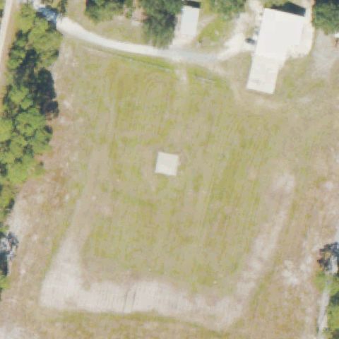
ConfirmedALBANY, GA
31.5954, -84.4231583329999
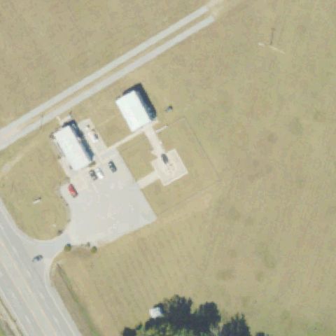
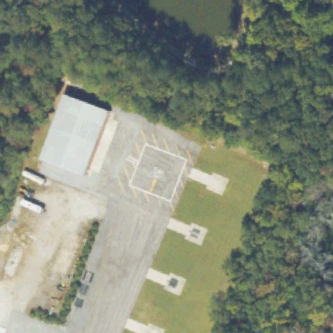
Distinct prepared square pad in an open field at the image center.
✓ Confirmed by AI vision with Claude Opus 4.8
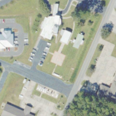
ConfirmedAMERICUS, GA
32.0675000000001, -84.2549999999999
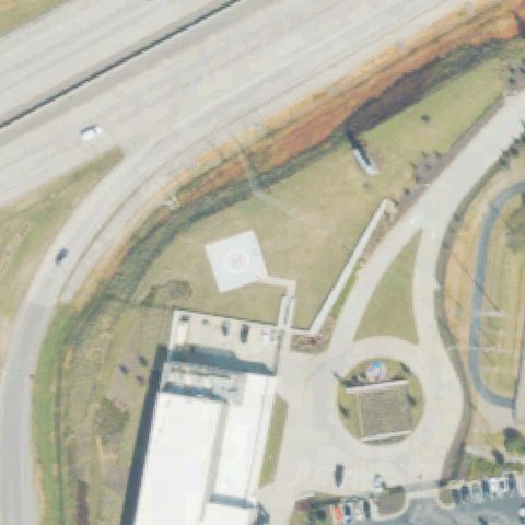
White square pad with cross marking on grass near center.
✓ Confirmed by AI vision with Claude Opus 4.8
ConfirmedATLANTA, GA
33.740905556, -84.512547222
White square pad with cross marking on grass at center surrounded by forest.
✓ Confirmed by AI vision with Claude Opus 4.8
ConfirmedATLANTA, GA
33.9008666670001, -84.468336111
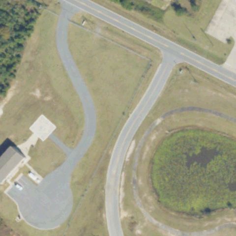
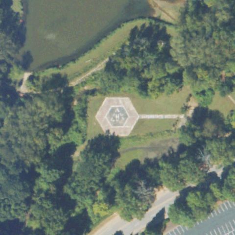
Hexagonal pad with H marking at center near a pond.
✓ Confirmed by AI vision with Claude Opus 4.8
ConfirmedATLANTA, GA
33.9098500000001, -84.3557638889999
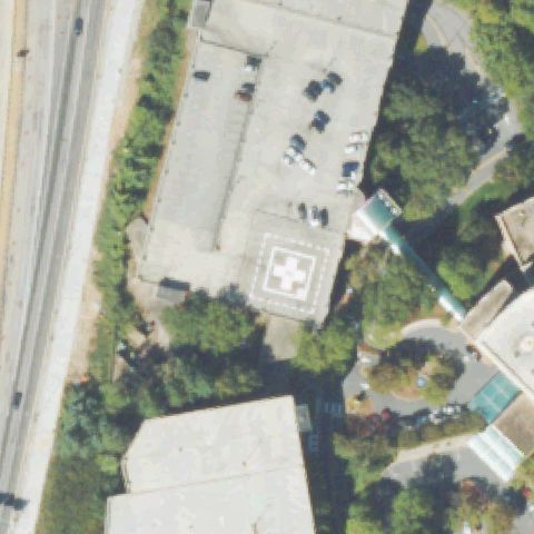
Rooftop pad with white square and cross marking near center.
✓ Confirmed by AI vision with Claude Opus 4.8
ConfirmedAUGUSTA, GA
33.4301861110001, -82.122713889
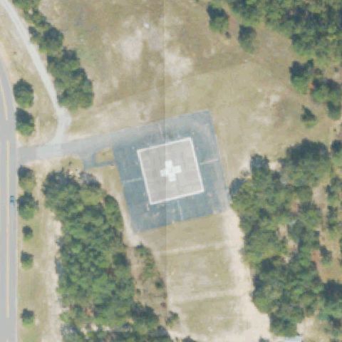
Large square pad with white square and cross marking at center on cleared ground.
✓ Confirmed by AI vision with Claude Opus 4.8
ConfirmedAUGUSTA, GA
33.471261111, -81.987938889
Rooftop with white cross marking near the image center.
✓ Confirmed by AI vision with Claude Opus 4.8
ConfirmedAUGUSTA, GA
33.471641667, -81.9832388889999
Rooftop pad with red square and white cross marking near center.
✓ Confirmed by AI vision with Claude Opus 4.8
ConfirmedBLAIRSVILLE, GA
34.8853084720001, -83.9619102779999
Faint square pad with cross marking near the image center.
✓ Confirmed by AI vision with Claude Opus 4.8
ConfirmedCARROLLTON, GA
33.570008333, -85.075383333
Rooftop with red square and white cross marking near center.
✓ Confirmed by AI vision with Claude Opus 4.8
ConfirmedCONYERS, GA
33.680075, -84.002772222
Small white square pad on grass near the image center.
✓ Confirmed by AI vision with Claude Opus 4.8
ConfirmedDAHLONEGA, GA
34.6267316670001, -84.106543333
Distinct prepared square pad in a clearing at the image center.
✓ Confirmed by AI vision with Claude Opus 4.8
ConfirmedDALTON, GA
34.788325, -84.980944444
Circular pad with red square and cross marking at center.
✓ Confirmed by AI vision with Claude Opus 4.8
ConfirmedFORT GORDON (AUGUSTA), GA
33.420416389, -82.139563889
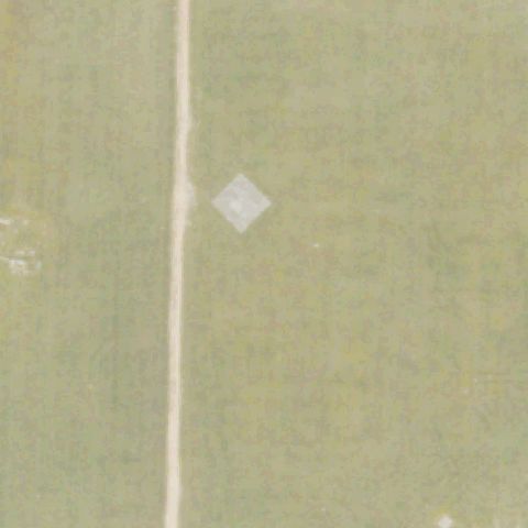
White diamond/square pad marking on a field near the image center.
✓ Confirmed by AI vision with Claude Opus 4.8
ConfirmedHIRAM, GA
33.8880194440001, -84.736947222
Painted square outline with marking on paved area at center.
✓ Confirmed by AI vision with Claude Opus 4.8
ConfirmedAVONDALE ESTATES, GA
33.7767975, -84.2415383329999
Faint circular and H marking on a building rooftop near center.
✓ Confirmed by AI vision with Claude Opus 4.8
ConfirmedBAINBRIDGE, GA
30.9035638890001, -84.5531444439999
White square pad with circle marking on grass field at center.
✓ Confirmed by AI vision with Claude Opus 4.8
ConfirmedBALL GROUND, GA
34.257786111, -84.2781666669999
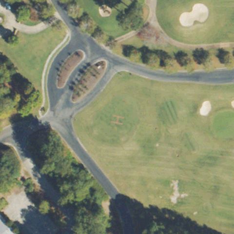
Faint H mowed into the golf-course grass near the image center.
✓ Confirmed by AI vision with Claude Opus 4.8
ConfirmedCALHOUN, GA
34.510340833, -84.9277308329999
Circular white pad with cross marking at center on grass.
✓ Confirmed by AI vision with Claude Opus 4.8
ConfirmedCOLUMBUS, GA
32.4812027780001, -84.980316667
Circular pad with red circle and white cross marking at center.
✓ Confirmed by AI vision with Claude Opus 4.8
ConfirmedCUMMING, GA
34.206861111, -84.297238889
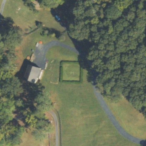
Square pad outline on a residential lawn near the image center.
✓ Confirmed by AI vision with Claude Opus 4.8
ConfirmedDOUGLASVILLE, GA
33.738486111, -84.7322833329999
White square pad with red H/cross marking on grass near center.
✓ Confirmed by AI vision with Claude Opus 4.8
ConfirmedFITZGERALD, GA
31.6967666670001, -83.2601333329999
Faint square prepared pad near center in a grass field behind a medical building, no clear markings.
✓ Confirmed by AI vision with Claude Opus 4.8
ConfirmedFOLKSTON, GA
30.7369555560001, -82.128269444
Small light square pad near center of a cleared field, markings indistinct.
✓ Confirmed by AI vision with Claude Opus 4.8
ConfirmedJESUP, GA
31.601380556, -81.898527778
Faint reddish square pad with marking sits near center beside a medical building.
✓ Confirmed by AI vision with Claude Opus 4.8
ConfirmedJONESBORO, GA
33.538136111, -84.346405556
Rooftop pad with painted H marking near image center on a large building.
✓ Confirmed by AI vision with Claude Opus 4.8
ConfirmedNEWNAN, GA
33.3583333330001, -84.7558333329999
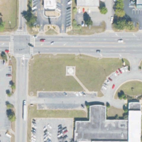
Diamond pad with faint cross marking near center on a lawn between parking lots.
✓ Confirmed by AI vision with Claude Opus 4.8
ConfirmedRIVERDALE, GA
33.5797250000001, -84.388225
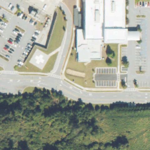
Round pad with white cross marking near center beside a large parking lot.
✓ Confirmed by AI vision with Claude Opus 4.8
ConfirmedSNELLVILLE, GA
33.877272222, -84.019816667
Red square pad with white circle marking near center beside a medical building.
✓ Confirmed by AI vision with Claude Opus 4.8
ConfirmedSTATESBORO, GA
32.4139083330001, -81.7689
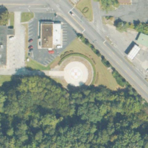
White round pad with cross marking near center within a landscaped roundabout.
✓ Confirmed by AI vision with Claude Opus 4.8
ConfirmedWAYCROSS, GA
31.2242000000001, -82.3476111109999
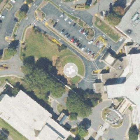
Round pad with white cross marking near center within a hospital campus.
✓ Confirmed by AI vision with Claude Opus 4.8
ConfirmedMACON, GA
32.834444444, -83.6361111109999
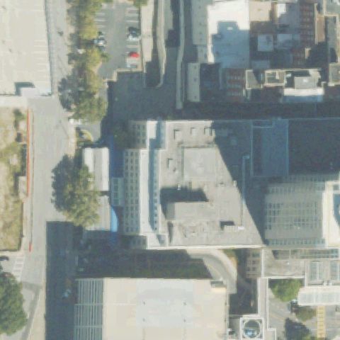
Rooftop pad with white cross marking near center on a downtown building.
✓ Confirmed by AI vision with Claude Opus 4.8
ConfirmedMILLEDGEVILLE, GA
33.027277778, -83.203991667
Light square pad with faint marking near center in an open field by parking.
✓ Confirmed by AI vision with Claude Opus 4.8
ConfirmedMONROE, GA
33.7999972220001, -83.749652778
Circular pad with white cross marking centered in a cleared lot.
✓ Confirmed by AI vision with Claude Opus 4.8
ConfirmedSANDERSVILLE, GA
32.996513889, -82.804663889
Square concrete pad with white cross marking near center by a medical building.
✓ Confirmed by AI vision with Claude Opus 4.8
ConfirmedSAVANNAH, GA
32.028930556, -81.088530556
Light rooftop pad with faint cross marking near center on a hospital building.
✓ Confirmed by AI vision with Claude Opus 4.8
ConfirmedSTOCKBRIDGE, GA
33.5136444440001, -84.228158333
Concrete pad with white cross marking near center beside an access drive.
✓ Confirmed by AI vision with Claude Opus 4.8
ConfirmedSTONE MOUNTAIN, GA
33.8130555560001, -84.140833333
Faint circular marking on a parking lot near center, low resolution.
✓ Confirmed by AI vision with Claude Opus 4.8
ConfirmedSWAINSBORO, GA
32.5928777780001, -82.348027778
White round pad with cross marking near center beside a parking lot.
✓ Confirmed by AI vision with Claude Opus 4.8
ConfirmedWAYNESBORO, GA
33.0833138890001, -82.0133611109999
Faint light square pad near center on a lawn beside a hospital.
✓ Confirmed by AI vision with Claude Opus 4.8
ConfirmedWINDER, GA
34.0082305560001, -83.7084055559999
Round pad with blue cross marking near center beside a hospital building.
✓ Confirmed by AI vision with Claude Opus 4.8
ConfirmedPERRY, GA
32.503008333, -83.749819444
Rooftop pad with clear white H marking near center in a training complex.
✓ Confirmed by AI vision with Claude Opus 4.8
ConfirmedBYRON, GA
32.6062000000001, -83.758880556
White cross pad marking near center on a medical campus apron.
✓ Confirmed by AI vision with Claude Opus 4.8
ConfirmedGRIFFIN, GA
33.2398870000001, -84.266486
Square pad with white cross marking near center beside the medical center.
✓ Confirmed by AI vision with Claude Opus 4.8
ConfirmedVALDOSTA, GA
30.861708333, -83.2850999999999
Square pad with faint cross marking near center within a parking-lined apron.
✓ Confirmed by AI vision with Claude Opus 4.8
ConfirmedAUGUSTA, GA
33.4865833330001, -82.093305556
Square pad with white cross marking near center on a hospital apron.
✓ Confirmed by AI vision with Claude Opus 4.8
ConfirmedWARNER ROBINS, GA
32.6153972220001, -83.630544444
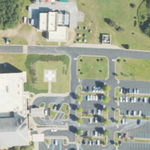
White square pad with a marking sits near the image center between parking lots.
✓ Confirmed by AI vision with Claude Opus 4.8
ConfirmedTHOMASTON, GA
32.8851611110001, -84.3372277779999
Red circular pad with white cross marking is near the image center in the lot.
✓ Confirmed by AI vision with Claude Opus 4.8
ConfirmedATLANTA, GA
33.8314444440001, -84.3301333329999
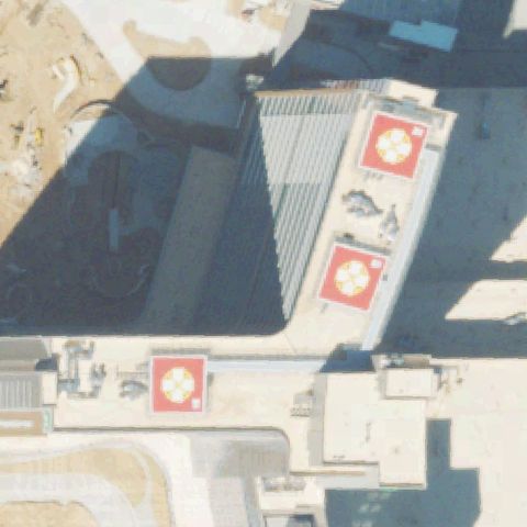
Multiple red rooftop pads with white circle markings are visible near center.
✓ Confirmed by AI vision with Claude Opus 4.8
ConfirmedMONROE, GA
33.8323611110001, -83.5623277779999
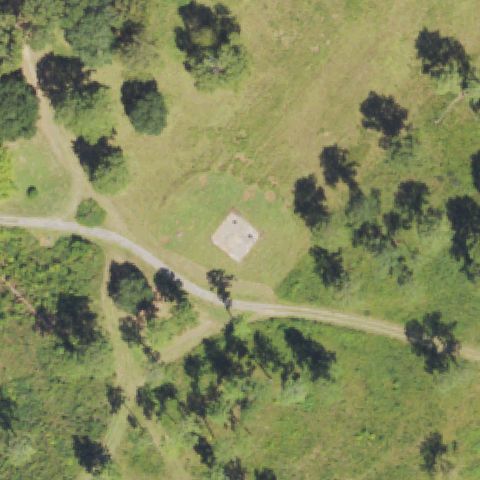
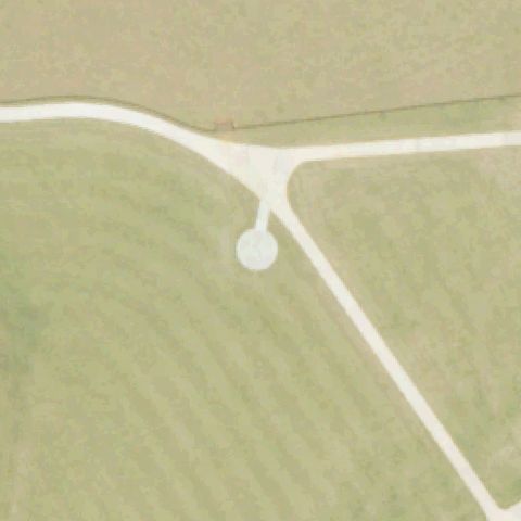
A small round pad marking sits near center at a junction of paths in an open field.
✓ Confirmed by AI vision with Claude Opus 4.8