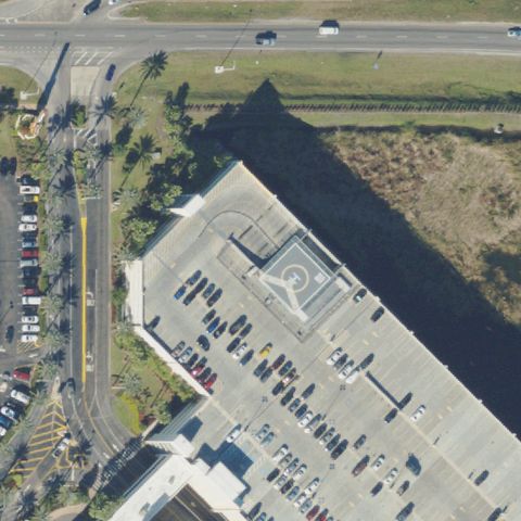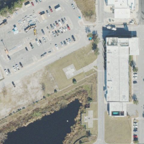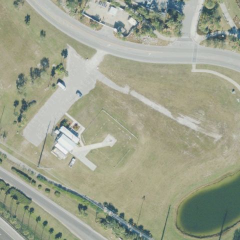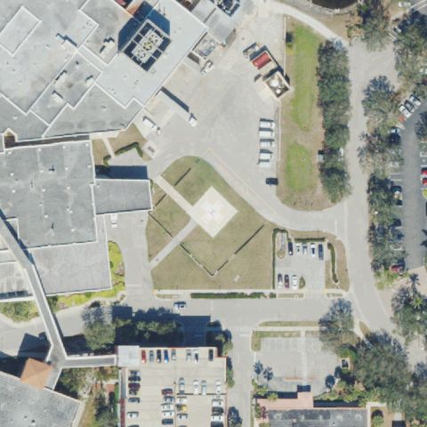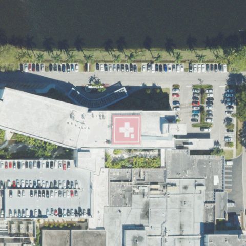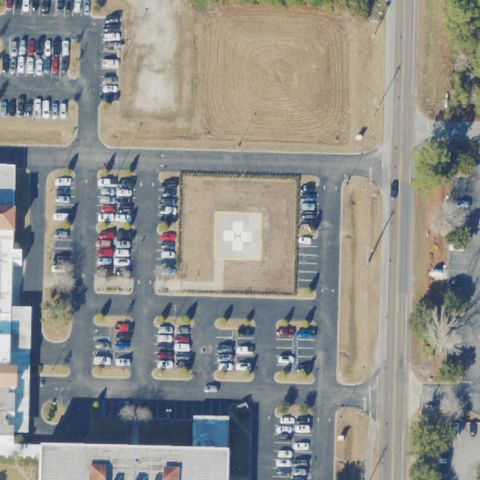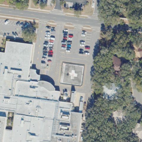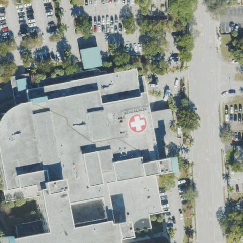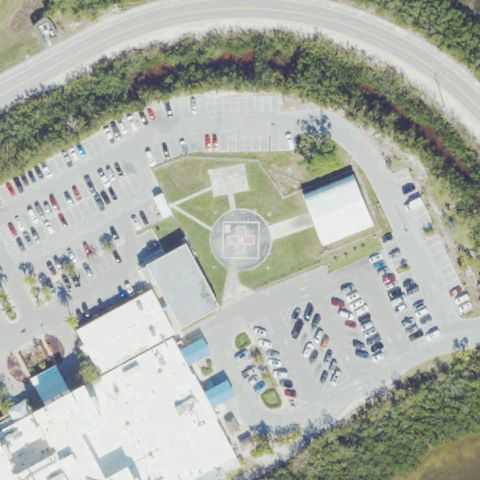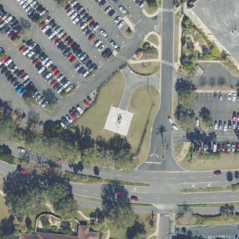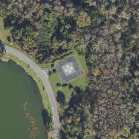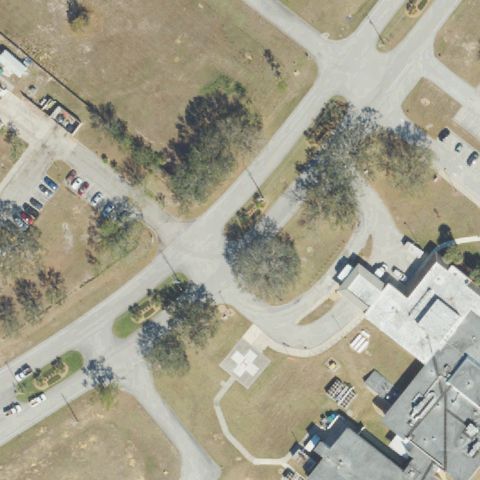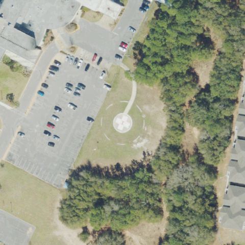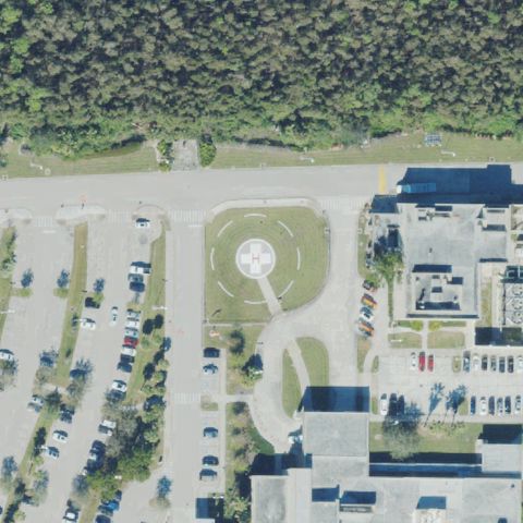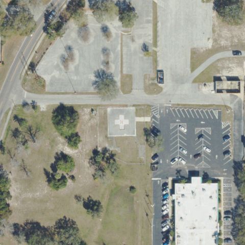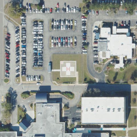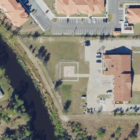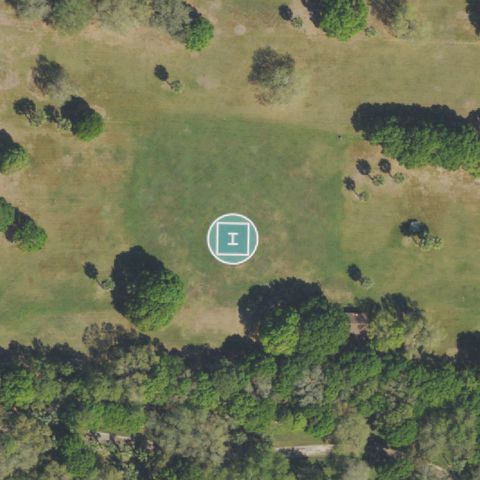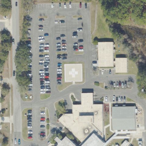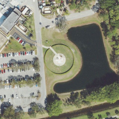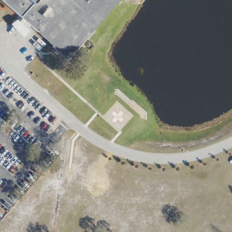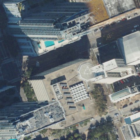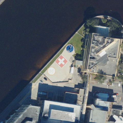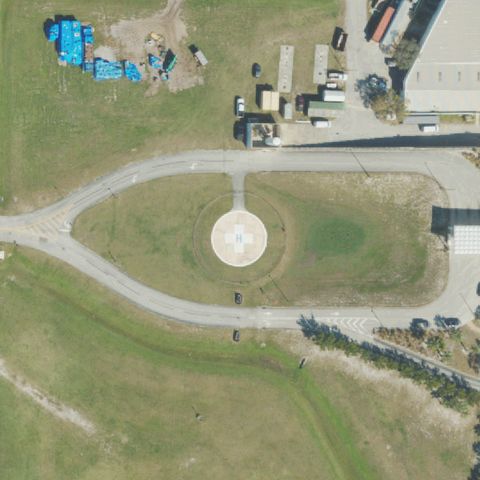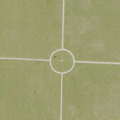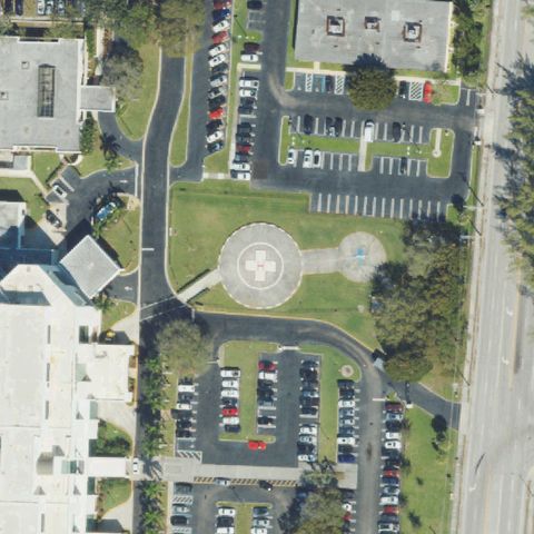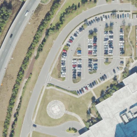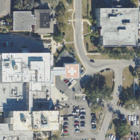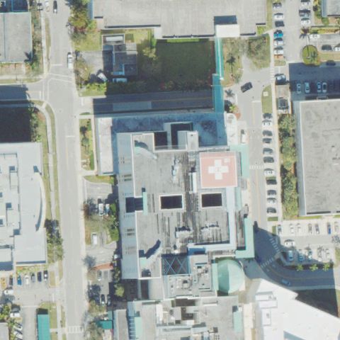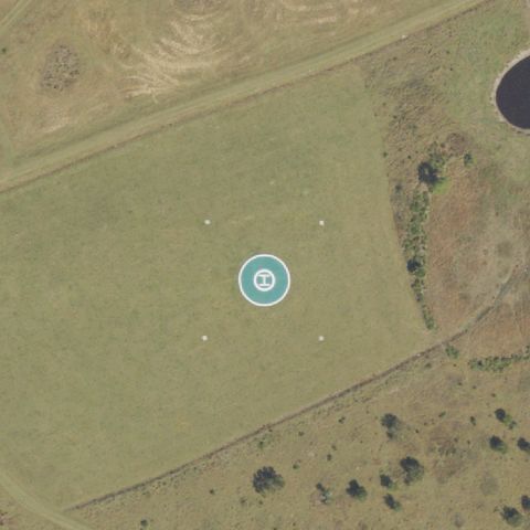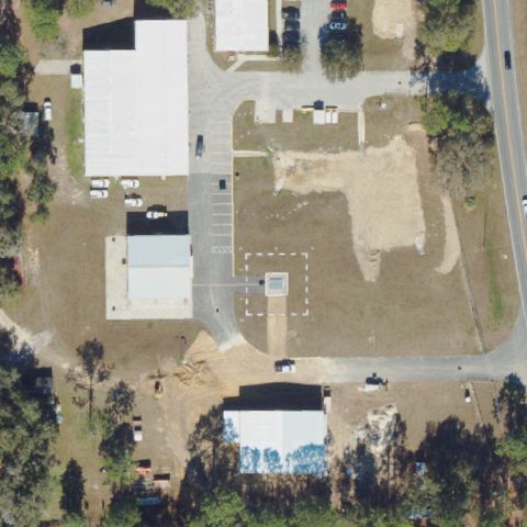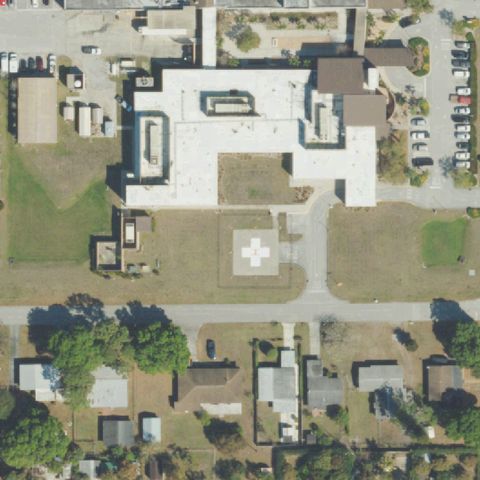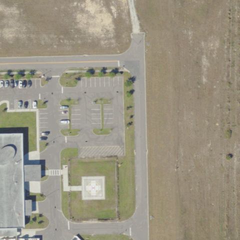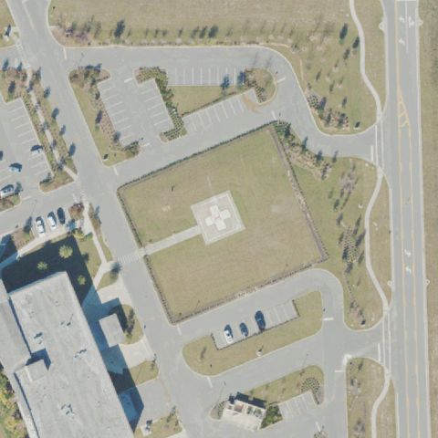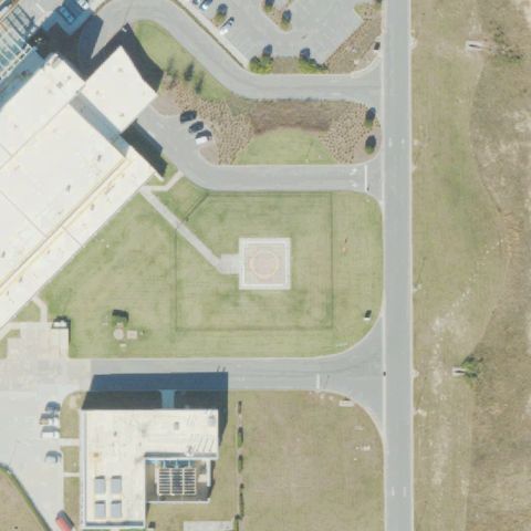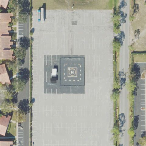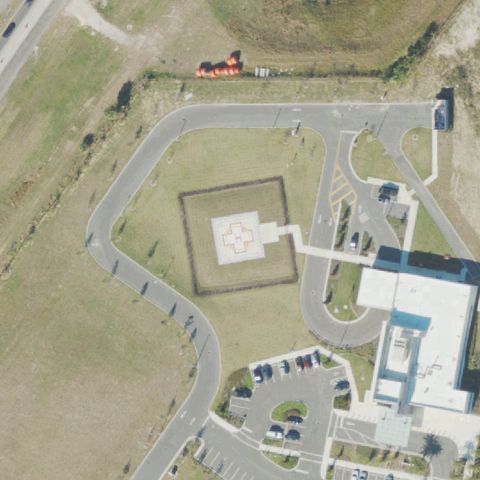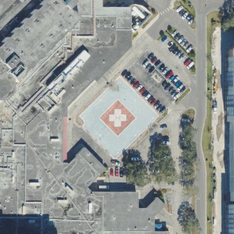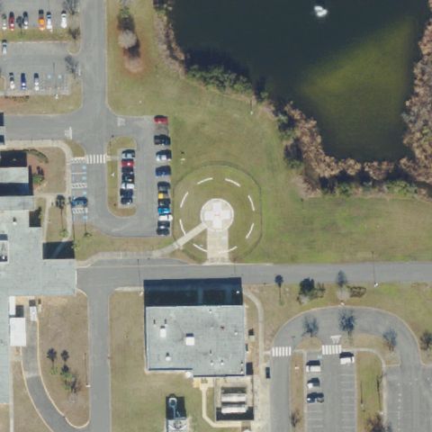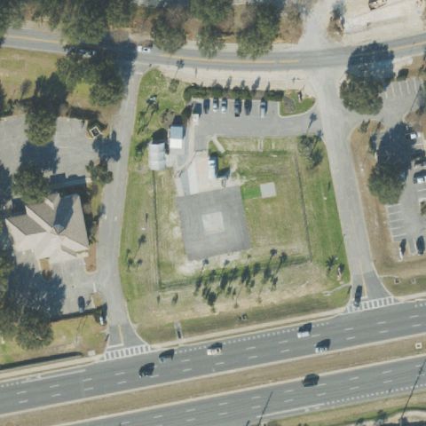
FAA record × aerial reality

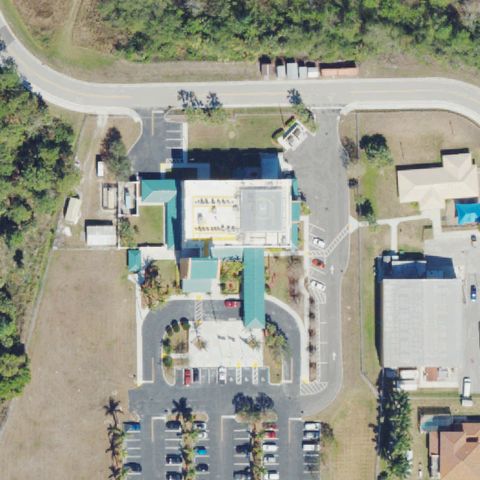
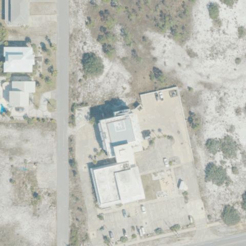
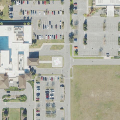
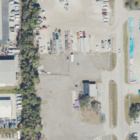
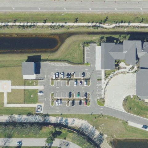
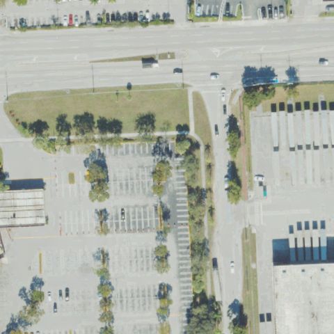
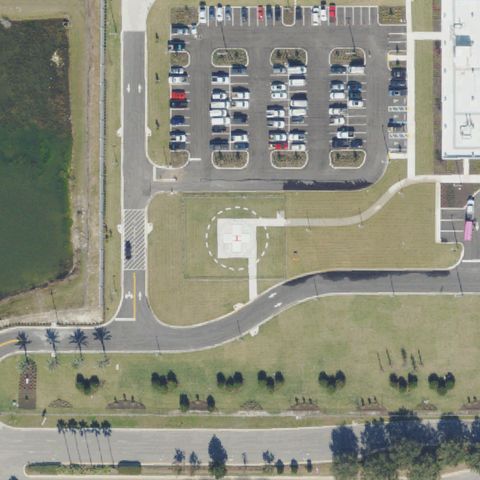
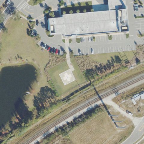
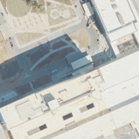
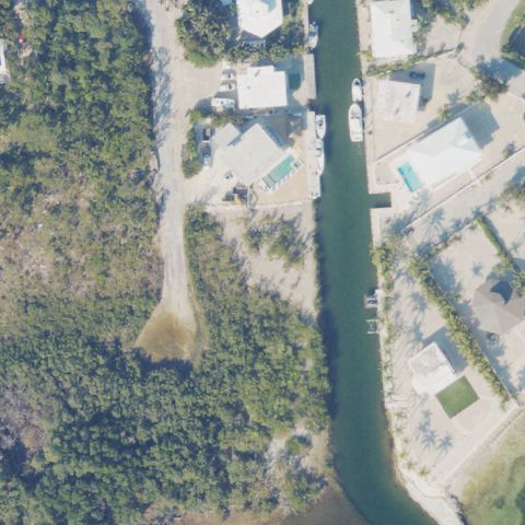
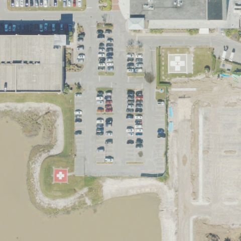
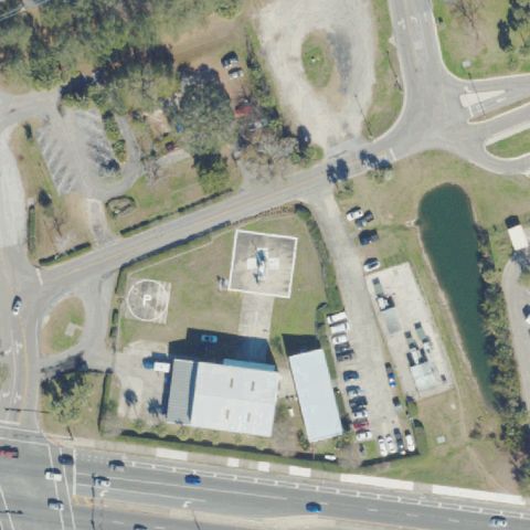
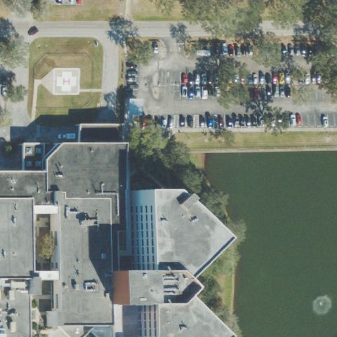
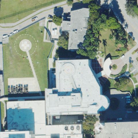
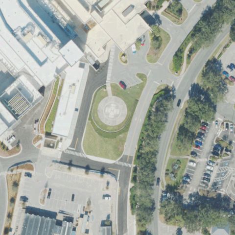
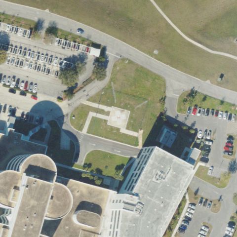
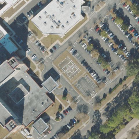
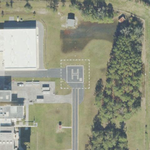
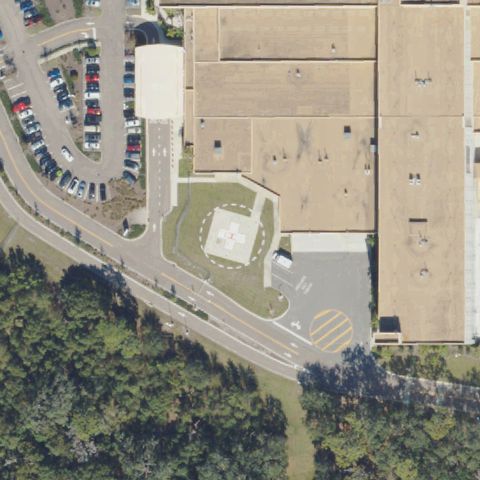
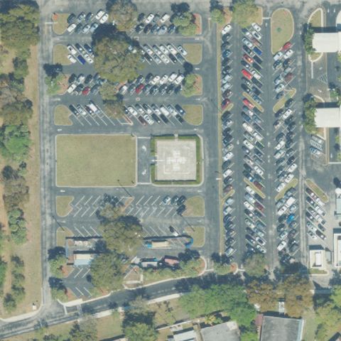
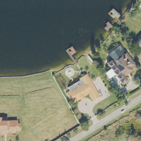
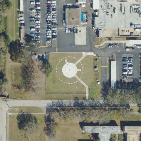
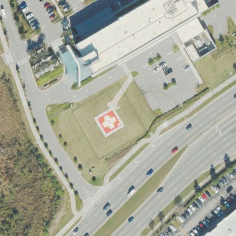
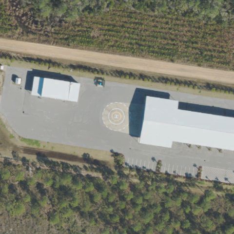
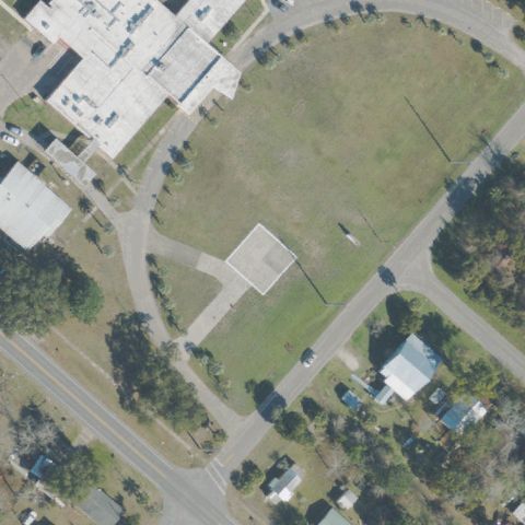
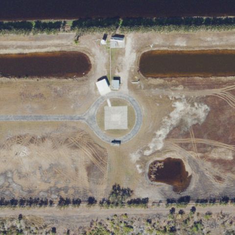
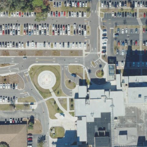
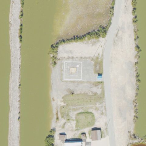
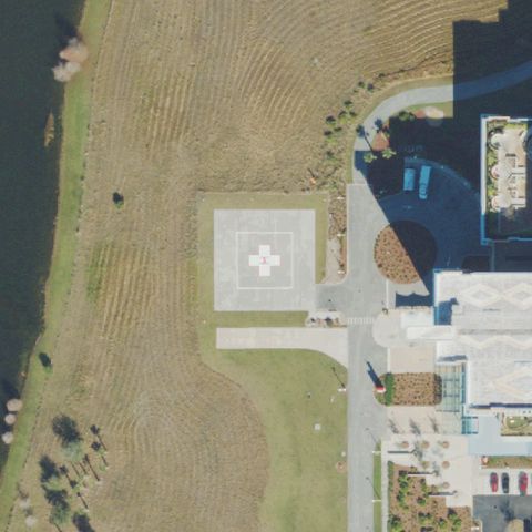
Florida: where the heliport map and the ground disagree.

383
facilities checked
219
flagged for review
-
visitors

Data: FAA Airports (ArcGIS open layer)  |  Imagery: USGS NAIP (public domain)  |  AI vision: Claude Opus 4.8  |  built 2026-07-05

This is a prioritized review queue, not a list of findings.

A flag means a pad could not be confirmed from current imagery - never that a heliport is missing, fake, or mislocated. Help us check: vote on each one below.

Verdicts
181 Not visible14 Off-center24 Uncertain164 Confirmed
Facilities — worst-first
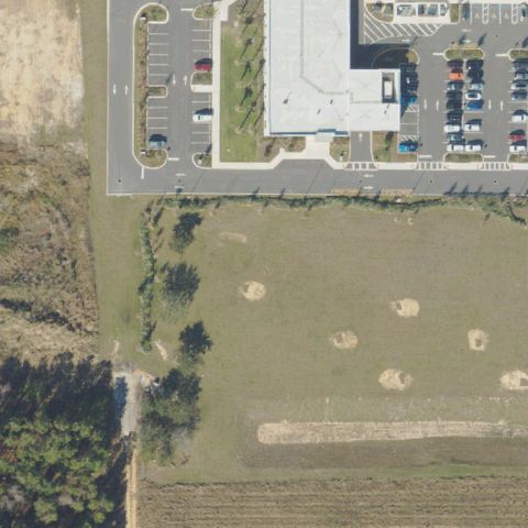
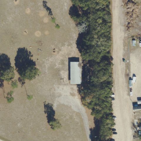
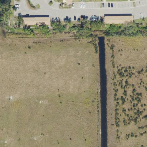
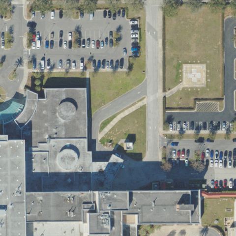
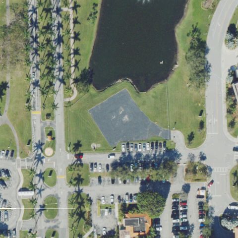
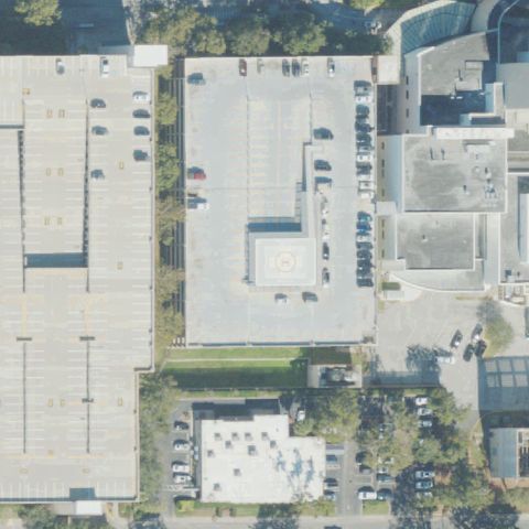
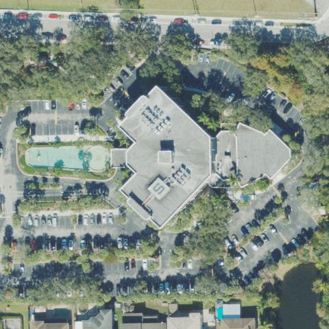
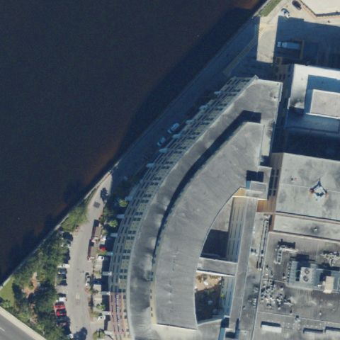
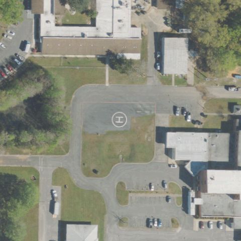
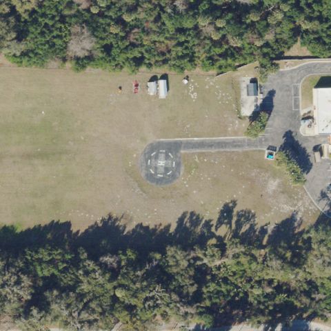
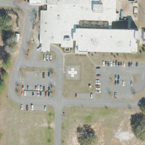
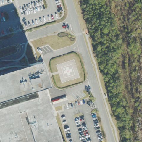
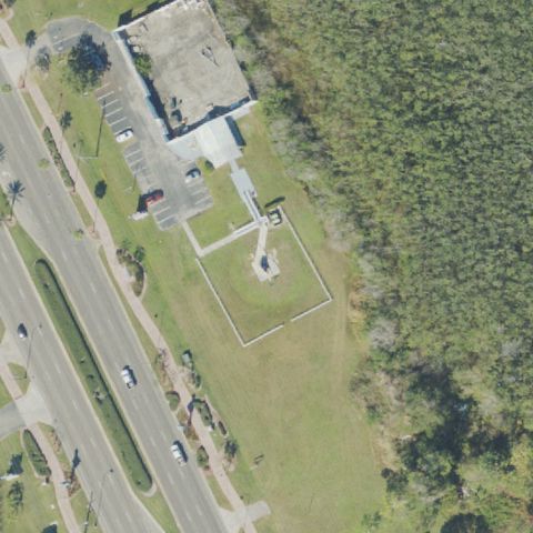
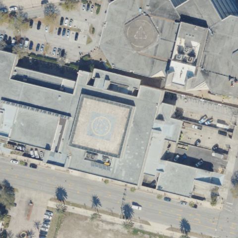
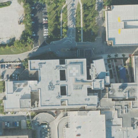
Aerial tile for FD85Not visible

FD85 De Soto Meml Hospital

ARCADIA, FL

27.2279888890001, -81.850988889

Hospital rooftops visible at center but no H marking or prepared helipad surface detected.

80% confidence Verify on the map →
Is there really a pad here?
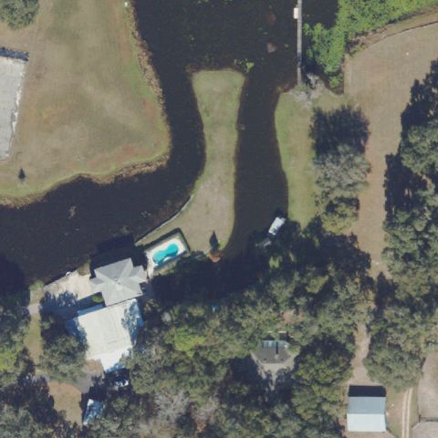
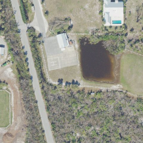
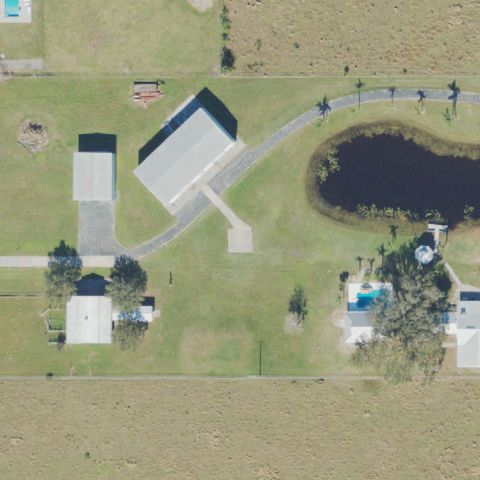
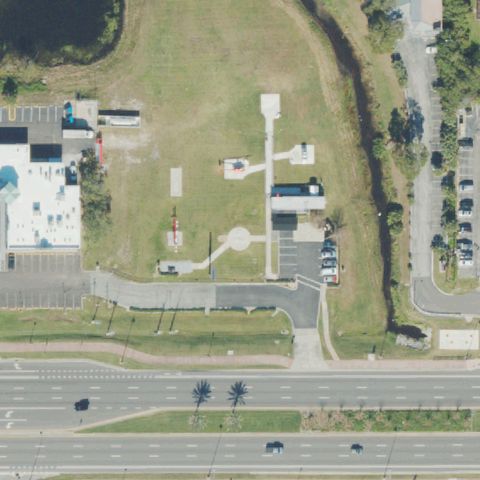
Aerial tile for 7FL0Not visible

7FL0 Jordan

BELLEVIEW, FL

29.0139833330001, -81.9842166669999

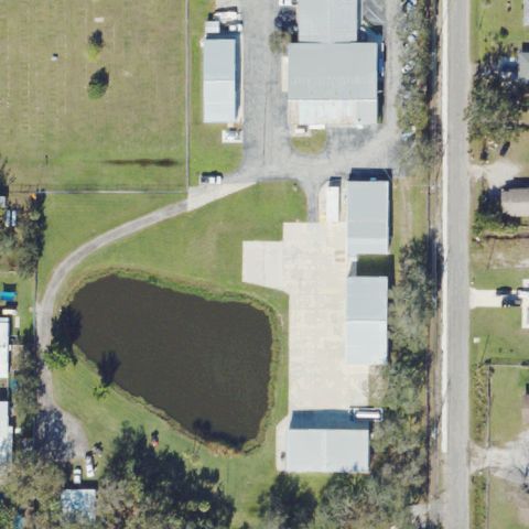
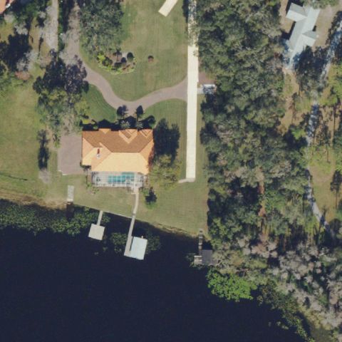
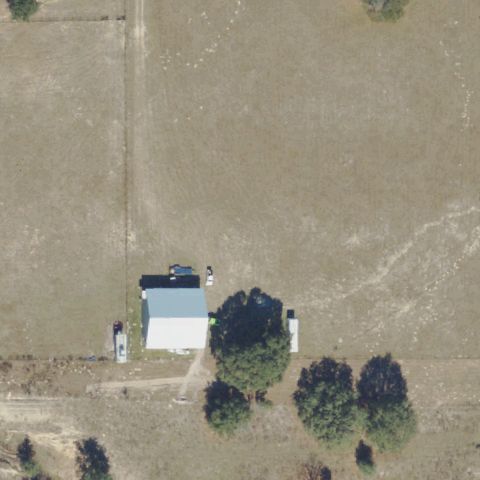
Rural residential property with pond and trees; no helipad marking or prepared surface visible at center.

90% confidence Verify on the map →
Is there really a pad here?
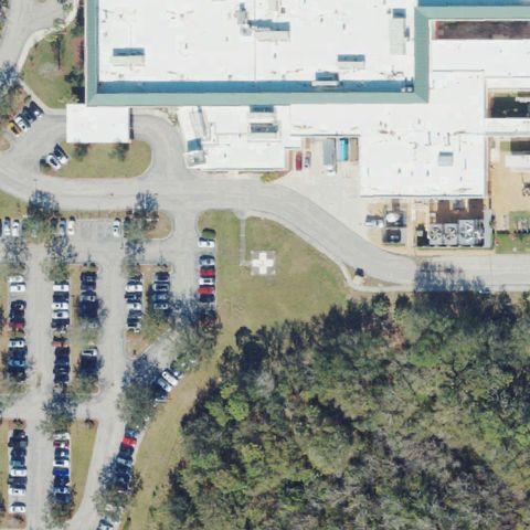
Aerial tile for 7FL9Not visible

7FL9 Lakewood Ranch Medical Center Helistop

BRADENTON, FL

27.390036111, -82.435438889

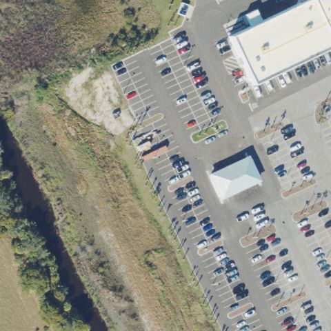
Open ground near hospital building at center but no distinct H marking or prepared helipad surface visible.

72% confidence Verify on the map →
Is there really a pad here?
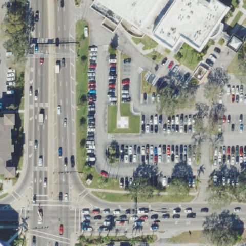
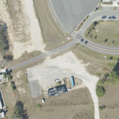
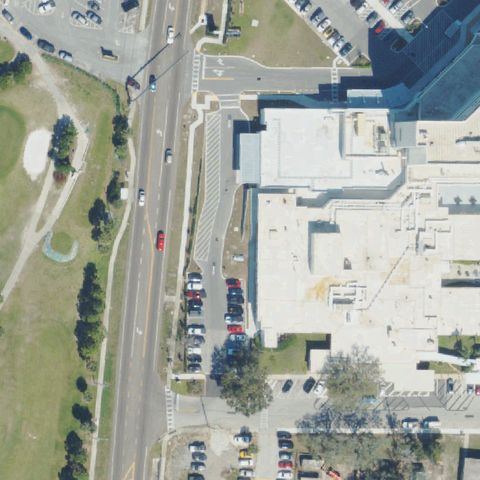
Aerial tile for FL45Not visible

FL45 Manatee Meml Hospital

BRADENTON, FL

27.4957555560001, -82.5625555559999

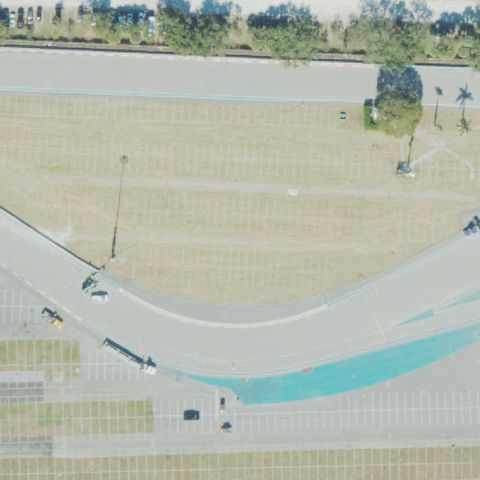
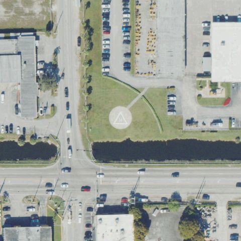
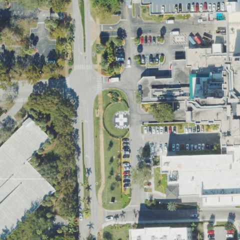
Road intersection and parking lots visible at center with no helipad markings detected.

85% confidence Verify on the map →
Is there really a pad here?
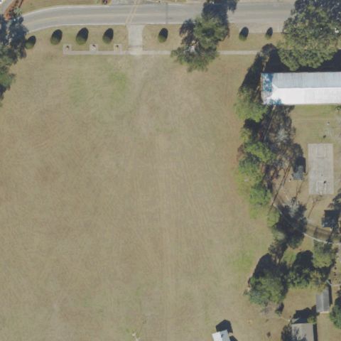
Aerial tile for 31FDNot visible

31FD Florida State Hospital

CHATTAHOOCHEE, FL

30.7063025, -84.842420278

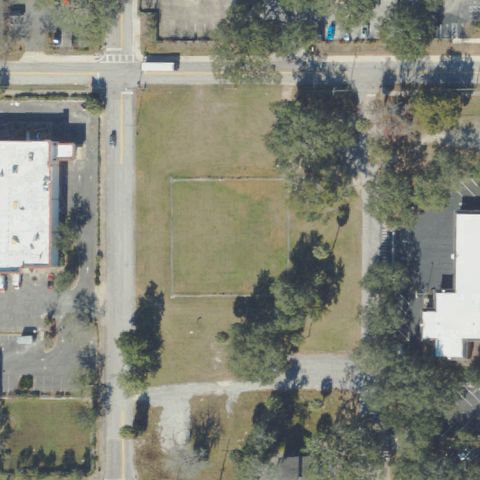
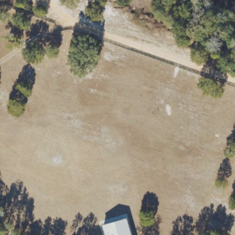
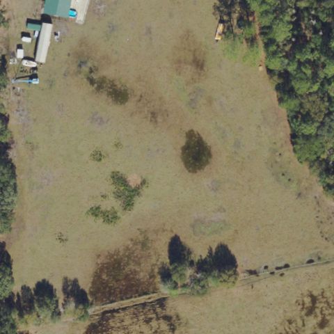
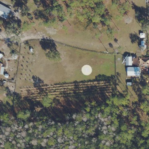
Open grass field at center with no helipad marking or prepared surface visible.

88% confidence Verify on the map →
Is there really a pad here?
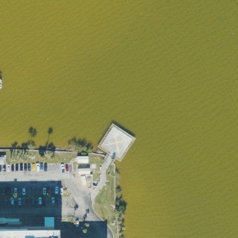
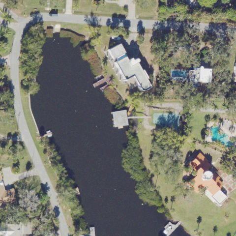
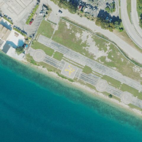
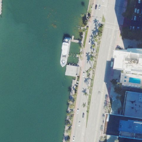
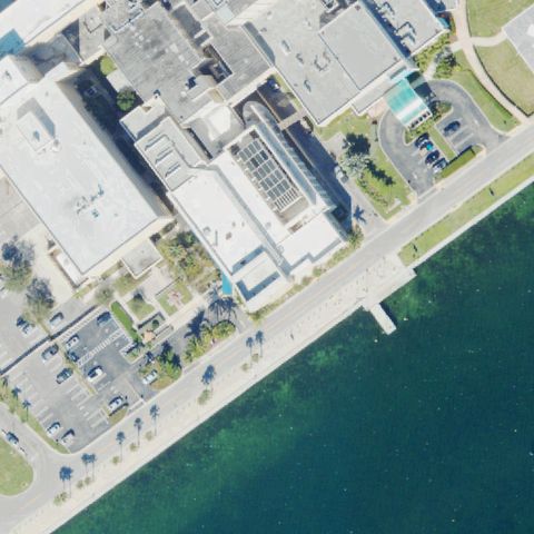
Aerial tile for 1FL8Not visible

1FL8 Cape Canaveral Hospital

COCOA BEACH, FL

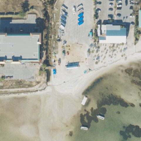
28.3611111110001, -80.6222222219999

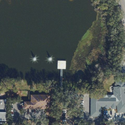
Center of image is mostly open water/lagoon with dock; no helipad visible.

85% confidence Verify on the map →
Is there really a pad here?
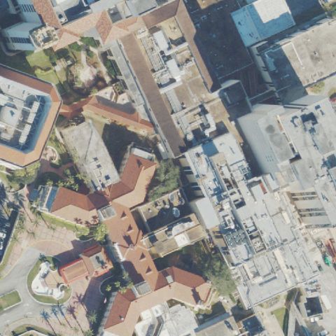
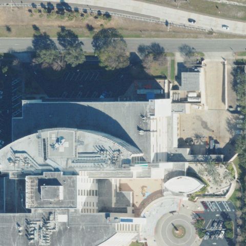
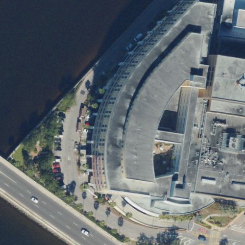
Aerial tile for 29FLNot visible

29FL Halifax Hospital Medical Center

DAYTONA BEACH, FL

29.2013702780001, -81.0539449999999

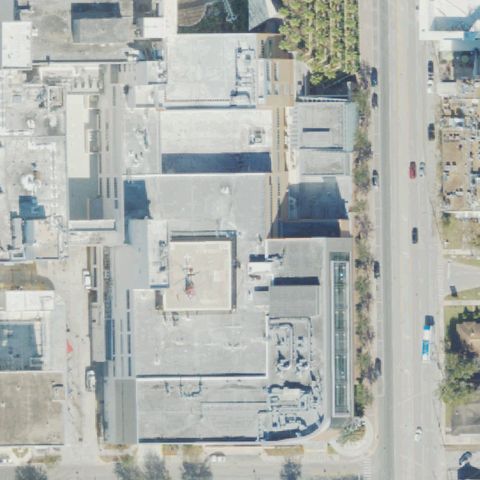
Dense urban hospital buildings at center with no visible H marking or helipad surface detected.

75% confidence Verify on the map →
Is there really a pad here?
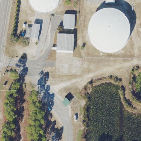
Aerial tile for FL71Not visible

FL71 Pennington

DE FUNIAK SPRINGS, FL

30.373352778, -86.179061111

Industrial area with storage tanks at center; no helipad marking or prepared pad visible.

82% confidence Verify on the map →
Is there really a pad here?
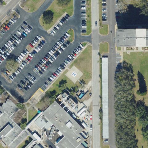
Aerial tile for FA04Not visible

FA04 Mease Hospital

DUNEDIN, FL

28.0144333330001, -82.782

Parking lot and building complex at center with no helipad marking visible.

78% confidence Verify on the map →
Is there really a pad here?
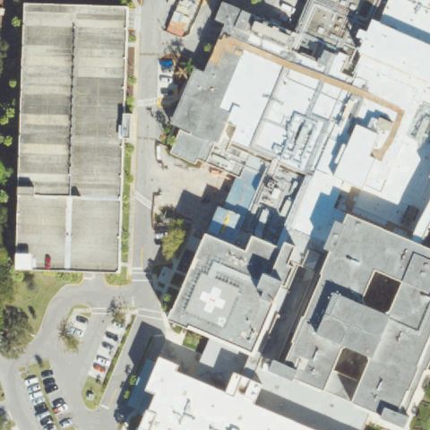
Aerial tile for 1FD3Not visible

1FD3 Hca Florida Jfk Hospital

ATLANTIS, FL

26.5981722220001, -80.092205556

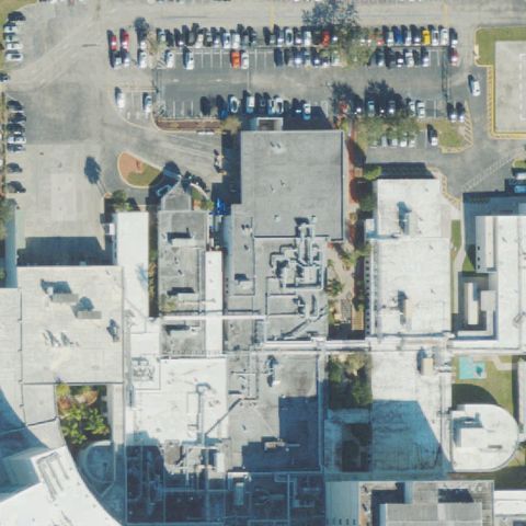
Dense hospital rooftops at center but no clear H marking or dedicated helipad surface visible.

70% confidence Verify on the map →
Is there really a pad here?
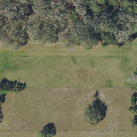
Aerial tile for FA53Not visible

FA53 Eagles Nest

AUBURNDALE, FL

28.0393611110001, -81.8428638889999

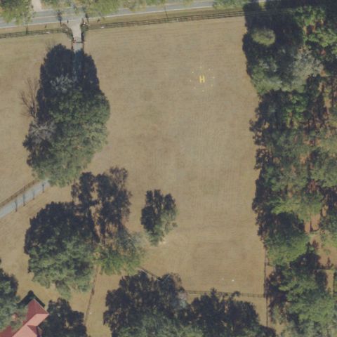
Open grass/pasture field at center with no helipad marking or prepared landing surface.

88% confidence Verify on the map →
Is there really a pad here?
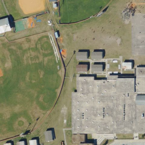
Aerial tile for FD65Not visible

FD65 Bartow High School

BARTOW, FL

27.8800261110001, -81.841193056

School grass field and parking at center with no helipad marking visible.

85% confidence Verify on the map →
Is there really a pad here?
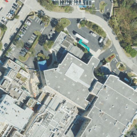
Aerial tile for 88FDNot visible

88FD Bethesda Meml Hospital

BOYNTON BEACH, FL

26.505288889, -80.0705

Hospital complex rooftops and parking visible at center but no clear H marking or dedicated helipad.

72% confidence Verify on the map →
Is there really a pad here?
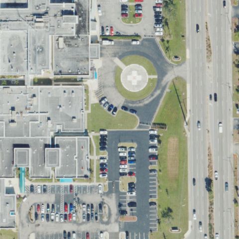
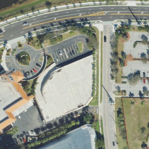
Aerial tile for FD66Not visible

FD66 Cape Coral Hospital

CAPE CORAL, FL

26.6384061110001, -81.941476667

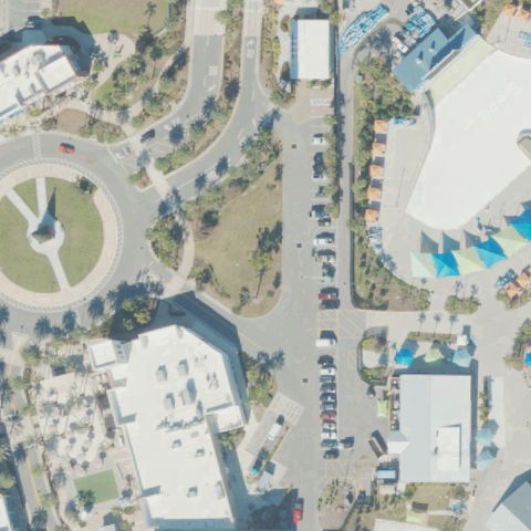
Circular traffic roundabout/road feature at center with no H marking or helipad surface.

82% confidence Verify on the map →
Is there really a pad here?
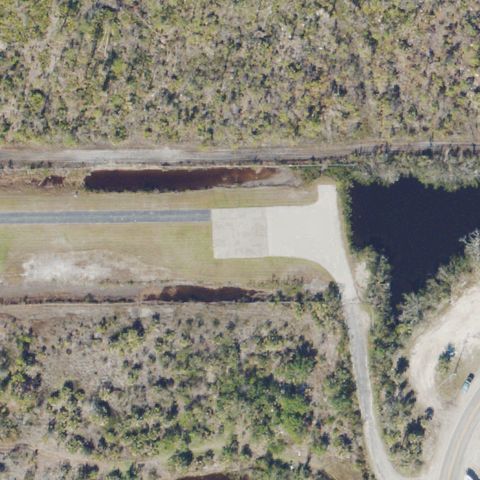
Aerial tile for 5FD9Not visible

5FD9 St James Helistop

CAPE CORAL, FL

26.5107833330001, -82.084972222

Open area near road at center with small cleared patch but no distinct H or helipad marking visible.

72% confidence Verify on the map →
Is there really a pad here?
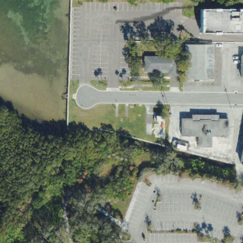
Aerial tile for 06FLNot visible

06FL Morton Plant Hospital

CLEARWATER, FL

27.953544444, -82.806244444

Waterfront hospital area at center with no visible helipad marking or prepared landing surface.

78% confidence Verify on the map →
Is there really a pad here?
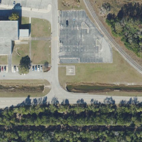
Aerial tile for 6FD1Not visible

6FD1 Crystal River Power Plant

CRYSTAL RIVER, FL

28.9594361110001, -82.6928972219999

Parking lot and facility buildings at center with only faint and ambiguous markings, no clear helipad.

72% confidence Verify on the map →
Is there really a pad here?
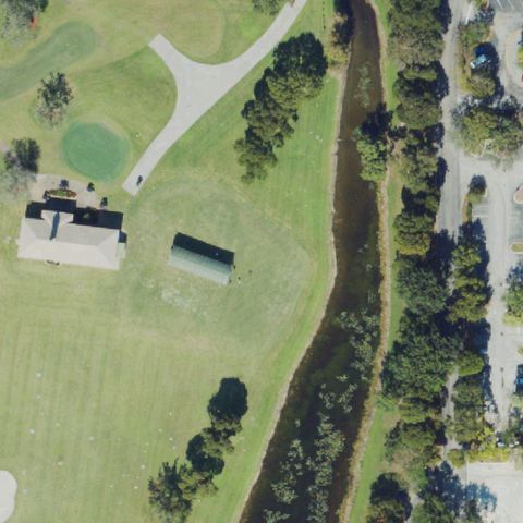
Aerial tile for FL69Not visible

FL69 Nsu Grande Oaks Golf Club LLC

DAVIE, FL

26.0819750000001, -80.252702778

Golf course and greenway at center with no helipad marking or prepared landing area visible.

85% confidence Verify on the map →
Is there really a pad here?
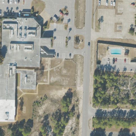
Aerial tile for 22FDNot visible

22FD Destin Emergency Care Center

DESTIN, FL

30.393888889, -86.471388889

Cleared/disturbed ground area at center with no clear H or helipad marking visible.

72% confidence Verify on the map →
Is there really a pad here?
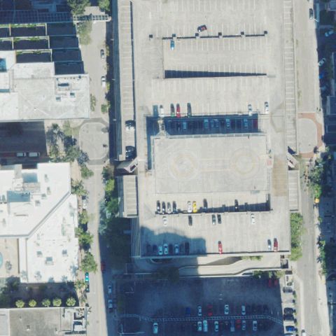
Aerial tile for DT1Not visible

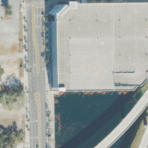
DT1 Downtown Fort Lauderdale

FORT LAUDERDALE, FL

26.120464444, -80.142054861

Rooftop parking structure at center with no H marking or dedicated helipad surface visible.

78% confidence Verify on the map →
Is there really a pad here?
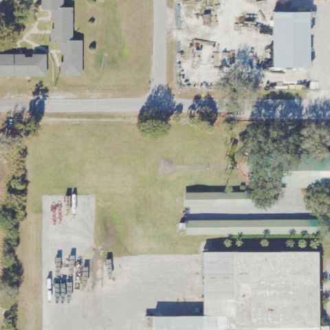
Aerial tile for 38FDNot visible

38FD Griffins Main Office

FROSTPROOF, FL

27.737269444, -81.531797222

Open grass field at center with no helipad markings or prepared surface visible.

90% confidence Verify on the map →
Is there really a pad here?
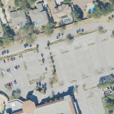
Aerial tile for FD47Not visible

FD47 Gulf Breeze Hospital

GULF BREEZE, FL

30.359365833, -87.1588572219999

Large parking lot complex at center with no helipad markings or prepared pad visible.

85% confidence Verify on the map →
Is there really a pad here?
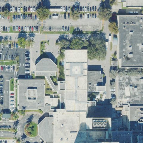
Aerial tile for 1FA5Not visible

1FA5 Palmetto General Hospital

HIALEAH, FL

25.8865916670001, -80.326611111

Hospital rooftop visible at center but no discernible H marking or helipad designation found.

70% confidence Verify on the map →
Is there really a pad here?
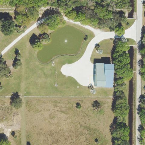
Aerial tile for 81FANot visible

81FA Johnson Ranch

HOBE SOUND, FL

27.033888889, -80.166388889

Rural property with building and open cleared area at center, no helipad markings visible.

85% confidence Verify on the map →
Is there really a pad here?
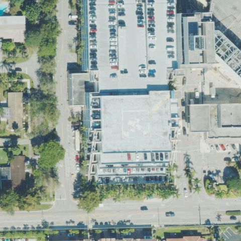
Aerial tile for 77FDNot visible

77FD Meml Rgnl Hospital

HOLLYWOOD, FL

26.0187611110001, -80.181325

Hospital rooftop building at center with no clear H or helipad designation visible in imagery.

70% confidence Verify on the map →
Is there really a pad here?
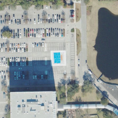
Aerial tile for 6FL1Not visible

6FL1 Mayo Clinic

JACKSONVILLE, FL

30.2650055560001, -81.44265

Large parking lot at center with no helipad markings or designated pad visible.

88% confidence Verify on the map →
Is there really a pad here?
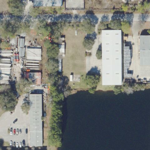
Aerial tile for FD76Not visible

FD76 Thomas Contracting

JACKSONVILLE, FL

30.1577888890001, -81.5381944439999

Industrial waterfront area at center with no helipad markings or prepared pad visible.

88% confidence Verify on the map →
Is there really a pad here?
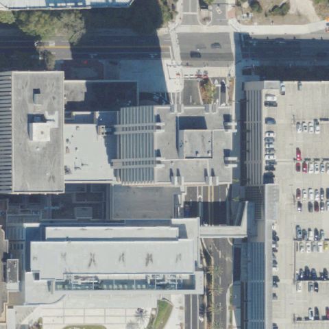
Aerial tile for 7FD4Not visible

7FD4 Baptist Medical Center

JACKSONVILLE, FL

30.315795, -81.6623175

Large medical complex rooftop at center with no clear H marking or helipad designation visible.

70% confidence Verify on the map →
Is there really a pad here?
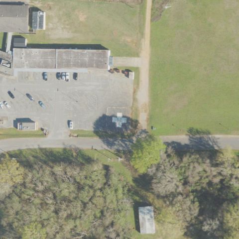
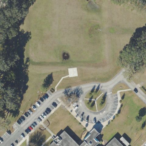
Aerial tile for FA16Not visible

FA16 Jay Hospital

JAY, FL

30.949588889, -87.150027778

Center of image is open grass field; hospital building is off to upper-left with no helipad visible.

85% confidence Verify on the map →
Is there really a pad here?
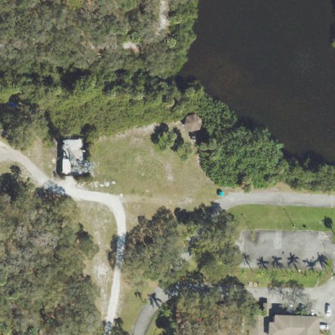
Aerial tile for 2FL4Not visible

2FL4 Brady

JUNO BEACH, FL

26.8558333330001, -80.0747222219999

Rural wooded and waterfront area at center with no helipad markings or prepared surface visible.

90% confidence Verify on the map →
Is there really a pad here?
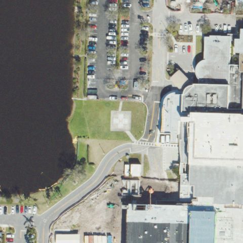
Aerial tile for 60FLNot visible

60FL Jupiter Medical Center

JUPITER, FL

26.922675, -80.0975

Road junction near hospital at center with no helipad markings visible.

82% confidence Verify on the map →
Is there really a pad here?
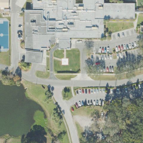
Aerial tile for 85FDNot visible

85FD Advent Health Kissimmee

KISSIMMEE, FL

28.315288056, -81.405904167

Hospital complex visible but center is green space with no helipad markings visible.

80% confidence Verify on the map →
Is there really a pad here?
Aerial tile for 19FDNot visible

19FD Osceola Sheriff's Ofc - Bronson Hwy

KISSIMMEE, FL

28.2751000000001, -81.3364999999999

Open grass field with cleared lane visible at center, no definitive helipad markings present.

75% confidence Verify on the map →
Is there really a pad here?
Aerial tile for 53FLNot visible

53FL University of Florida

GAINESVILLE, FL

29.6433388890001, -82.353630556

Large open grass field at center with no helipad markings or prepared surface visible.

85% confidence Verify on the map →
Is there really a pad here?
Aerial tile for 8FL7Not visible

8FL7 Capra Farms

GAINESVILLE, FL

29.6800000000001, -82.47

Open grass field with livestock visible at center, no helipad markings present.

88% confidence Verify on the map →
Is there really a pad here?
Aerial tile for FA56Not visible

FA56 Hca Florida North Florida Hospital

GAINESVILLE, FL

29.6615, -82.4121111109999

Hospital rooftops visible at center but no clear H marking or helipad designation found.

75% confidence Verify on the map →
Is there really a pad here?
Aerial tile for 2FL9Not visible

2FL9 Adventhealth Heart of Florida

HAINES CITY, FL

28.1797361110001, -81.638963889

Hospital building at center with no visible helipad markings on the roof.

80% confidence Verify on the map →
Is there really a pad here?
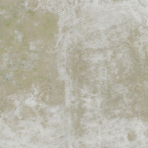
Aerial tile for NZXNot visible

NZX Harold NOLF

HAROLD, FL

30.67876125, -86.882013472

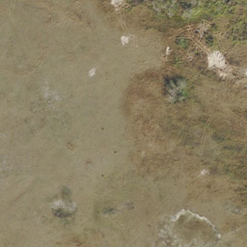
Blank featureless tan/beige image with no discernible features or helipad markings visible.

70% confidence Verify on the map →
Is there really a pad here?
Aerial tile for FA41Not visible

FA41 Mosquito Control

JACKSONVILLE, FL

30.4439166670001, -81.611194444

Rural industrial area at center with no helipad markings or prepared pad visible.

85% confidence Verify on the map →
Is there really a pad here?
Aerial tile for FA61Not visible

FA61 Shands Jacksonville Hospital

JACKSONVILLE, FL

30.349552778, -81.665475

Rooftop building visible at center but no clear H marking or helipad designation visible.

75% confidence Verify on the map →
Is there really a pad here?
Aerial tile for 45FDNot visible

45FD Baptist Medical Center/Beaches

JACKSONVILLE BEACH, FL

30.272338889, -81.397630556

Road and parking area at image center with no helipad markings visible.

80% confidence Verify on the map →
Is there really a pad here?
Aerial tile for FD41Not visible

FD41 Grand Cypress Resort

KISSIMMEE, FL

28.3809527780001, -81.508541667

Center of image is a water pond with surrounding vegetation, no helipad visible.

90% confidence Verify on the map →
Is there really a pad here?
Aerial tile for 1FL9Not visible

1FL9 Hendry County Fire-Ems

LA BELLE, FL

26.7463888890001, -81.428611111

Rural residential area at center with no helipad markings or prepared surface visible.

85% confidence Verify on the map →
Is there really a pad here?
Aerial tile for 6FL7Not visible

6FL7 Timmer

LAKE WALES, FL

27.834669444, -81.437533333

Residential wooded area at center with no visible helipad markings or prepared surface.

85% confidence Verify on the map →
Is there really a pad here?
Aerial tile for FD06Not visible

FD06 Lake Bird

LUTZ, FL

28.180838889, -82.4555694439999

Residential lakeside property with no visible helipad markings or prepared surface at center.

88% confidence Verify on the map →
Is there really a pad here?
Aerial tile for 2FD5Not visible

2FD5 The Island Fish Company

MARATHON, FL

24.733922222, -81.018675

Small marina peninsula with boats and water; no helipad marking or prepared surface visible at center.

87% confidence Verify on the map →
Is there really a pad here?
Aerial tile for 10FLNot visible

10FL Fishermen's Hospital Emergency Helistop

MARATHON, FL

24.710555556, -81.093888889

Industrial area with large round storage tanks; no helipad marking visible at center.

78% confidence Verify on the map →
Is there really a pad here?
Aerial tile for 64FLNot visible

64FL District Vi

MIAMI, FL

25.7819805560001, -80.377522222

Waterfront area with small building and vegetation; no helipad marking or prepared pad visible at center.

83% confidence Verify on the map →
Is there really a pad here?
Aerial tile for 1FD6Not visible

1FD6 Paines Prairie

MICANOPY, FL

29.545522222, -82.2878499999999

Dense forest and trees at center with no visible clearing, pad, or helipad markings.

90% confidence Verify on the map →
Is there really a pad here?
Aerial tile for 71FDNot visible

71FD Blackcreek Intl

MIDDLEBURG, FL

30.0745555560001, -81.8152499999999

Dense waterside wooded area at center; no helipad marking or prepared surface visible.

87% confidence Verify on the map →
Is there really a pad here?
Aerial tile for FD97Not visible

FD97 Naples Community Hospital

NAPLES, FL

26.1510277780001, -81.797769444

Dense urban hospital district; multiple building rooftops visible but no H or pad marking identifiable at the image center.

70% confidence Verify on the map →
Is there really a pad here?
Aerial tile for 9FL4Not visible

9FL4 Pasco County Mosquito

NEW PORT RICHEY, FL

28.1934000000001, -82.620391667

Industrial hangar and building area; no helipad marking or designated pad visible at image center.

80% confidence Verify on the map →
Is there really a pad here?
Aerial tile for 1FL6Not visible

1FL6 Sheriff's North Multi District Office

OCALA, FL

29.2736944440001, -82.150302778

Rural area with buildings and open field at center; no helipad marking or prepared pad visible.

80% confidence Verify on the map →
Is there really a pad here?
Aerial tile for FL76Not visible

FL76 Heli-Partners I-Drive

ORLANDO, FL

28.384586111, -81.485172222

Commercial area along a highway with buildings and trees; no helipad marking or designated pad visible at center.

75% confidence Verify on the map →
Is there really a pad here?
Aerial tile for 3FA5Not visible

3FA5 Richard Kohler

OSTEEN, FL

28.8308166670001, -81.115530556

Rural farmland with small structures; no helipad marking or prepared landing area visible at image center.

85% confidence Verify on the map →
Is there really a pad here?
Aerial tile for FA20Not visible

FA20 Post Electric Inc

PANAMA CITY, FL

30.206944444, -85.674166667

Industrial/warehouse area with dirt and gravel; no helipad marking or designated pad visible at image center.

82% confidence Verify on the map →
Is there really a pad here?
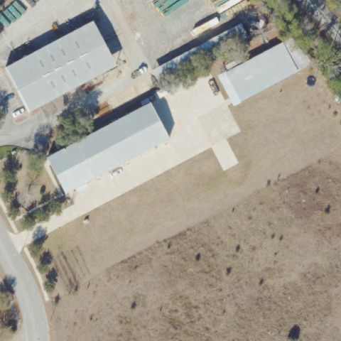
Aerial tile for 27FDNot visible

27FD Coastal Helicopters Inc

PANAMA CITY, FL

30.269891667, -85.5241861109999

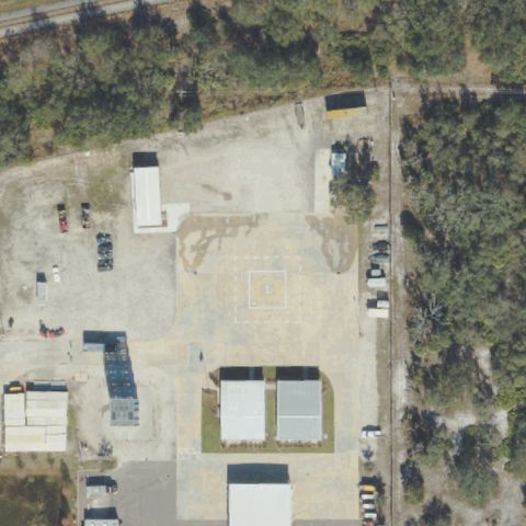
Industrial area with helicopter-related equipment buildings visible but no distinct helipad marking or pad at image center.

72% confidence Verify on the map →
Is there really a pad here?
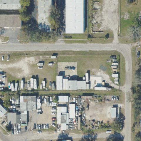
Aerial tile for FL53Not visible

FL53 Joey Anderson

MARIANNA, FL

30.7339388890001, -85.183919444

Industrial truck yard with parked trailers and equipment; no helipad marking or designated pad visible at image center.

88% confidence Verify on the map →
Is there really a pad here?
Aerial tile for 0FD2Not visible

0FD2 Hard Rock Stadium

MIAMI, FL

25.959566667, -80.239169444

Stadium waterfront area with large concrete structure; no helipad marking visible at image center which shows stadium infrastructure.

78% confidence Verify on the map →
Is there really a pad here?
Aerial tile for 2FA0Not visible

2FA0 Kendall District Station

MIAMI, FL

25.6961305560001, -80.381038889

Dense wooded and residential area at center; no helipad marking or prepared surface visible.

83% confidence Verify on the map →
Is there really a pad here?
Aerial tile for 3FL5Not visible

3FL5 Miami Seaquarium

MIAMI, FL

25.734027778, -80.16675

Open grassy peninsula surrounded by water; no helipad marking or prepared surface visible at image center.

85% confidence Verify on the map →
Is there really a pad here?
Aerial tile for 0FA0Not visible

0FA0 Doral Resort & Country Club

MIAMI, FL

25.817361111, -80.3403888889999

Golf course fairway area surrounded by water; no helipad marking or prepared surface visible at image center.

88% confidence Verify on the map →
Is there really a pad here?
Aerial tile for 9FL6Not visible

9FL6 Land South

MULBERRY, FL

27.8663888890001, -81.969444444

Center shows an open dirt/grass field with a road and small farm buildings at edge; no pad markings visible.

90% confidence Verify on the map →
Is there really a pad here?
Aerial tile for 05FDNot visible

05FD Aventura

NORTH MIAMI BEACH, FL

25.9573722220001, -80.138605556

Center shows low-rise commercial buildings with a golf course beyond; no helipad markings visible.

85% confidence Verify on the map →
Is there really a pad here?
Aerial tile for FL87Not visible

FL87 Intra Coastal Police Sub-Station

NORTH MIAMI BEACH, FL

25.9200277780001, -80.155

Center shows a small commercial building and parking lots along a major road; no helipad markings visible.

85% confidence Verify on the map →
Is there really a pad here?
Aerial tile for 84FDNot visible

84FD North Port Ems

NORTH PORT, FL

27.0461722220001, -82.236025

Center is a waterfront industrial/utility area with a large tank; no helipad markings visible.

80% confidence Verify on the map →
Is there really a pad here?
Aerial tile for FL49Not visible

FL49 Bernie Little

OCALA, FL

29.169697222, -82.149536111

Center shows a warehouse with truck parking area; no helipad markings visible.

85% confidence Verify on the map →
Is there really a pad here?
Aerial tile for 26FLNot visible

26FL Hca Florida Raulerson Hospital

OKEECHOBEE, FL

27.2591027780001, -80.8291027779999

Center shows a hospital building and parking lots; no helipad pad markings clearly visible.

70% confidence Verify on the map →
Is there really a pad here?
Aerial tile for 2FD7Not visible

2FD7 Orlando Heli Tours

ORLANDO, FL

28.4353166670001, -81.4746888889999

Center is a busy highway interchange with no helipad or prepared landing area visible.

95% confidence Verify on the map →
Is there really a pad here?
Aerial tile for FD99Not visible

FD99 Dr P Phillips Hospital

ORLANDO, FL

28.4286172220001, -81.477294167

Center shows trees, parking, and small buildings; no helipad markings visible.

80% confidence Verify on the map →
Is there really a pad here?
Aerial tile for 7FA5Not visible

7FA5 Premium

ORLANDO, FL

28.389166667, -81.488611111

Center shows a grass area with a small pool and commercial buildings; no helipad markings visible.

80% confidence Verify on the map →
Is there really a pad here?
Aerial tile for 0FL7Not visible

0FL7 Wkmg-Tv

ORLANDO, FL

28.5940833330001, -81.4198888889999

Center shows a TV station facility with satellite dishes and parking; no helipad markings visible.

80% confidence Verify on the map →
Is there really a pad here?
Aerial tile for 2FL7Not visible

2FL7 Porta Target

PALM BAY, FL

27.9238888890001, -80.611944444

Center shows rural residential lots with trees and a pond; no helipad markings visible.

85% confidence Verify on the map →
Is there really a pad here?
Aerial tile for 1FD7Not visible

1FD7 Pga Ntl

PALM BEACH GARDENS, FL

26.830275, -80.143411111

Center shows a golf course and commercial building complex; no helipad markings visible.

85% confidence Verify on the map →
Is there really a pad here?
Aerial tile for 61FDNot visible

61FD Advent Health Palm Coast

PALM COAST, FL

29.4788888890001, -81.1916666669999

Center shows a hospital parking area and tree-lined median; no helipad markings visible.

80% confidence Verify on the map →
Is there really a pad here?
Aerial tile for FA21Not visible

FA21 Meml Hospital West Helistop

PEMBROKE PINES, FL

26.0131027780001, -80.311161111

Hospital rooftop complex at center; no distinct H or circle marker visible at center.

70% confidence Verify on the map →
Is there really a pad here?
Aerial tile for 0FA2Not visible

0FA2 Doctors Meml Hospital #2

PERRY, FL

30.119753083, -83.592731806

Center shows hospital/medical buildings and parking; no clear helipad marking visible at center.

75% confidence Verify on the map →
Is there really a pad here?
Aerial tile for 38FLNot visible

38FL Flagler Hospital

ST AUGUSTINE, FL

29.8619430000001, -81.3167589999999

Hospital campus with rooftops and parking at center; no distinct H or circle pad marking clearly visible.

70% confidence Verify on the map →
Is there really a pad here?
Aerial tile for 2FA8Not visible

2FA8 Hca Florida Lake Monroe Hospital

SANFORD, FL

28.8136805560001, -81.283730556

Center shows a hospital complex and parking areas; no helipad markings visible at center.

75% confidence Verify on the map →
Is there really a pad here?
Aerial tile for FA22Not visible

FA22 Dove

SARASOTA, FL

27.3332861110001, -82.428336111

Center shows a small farm/agricultural building with grass; no helipad markings visible.

80% confidence Verify on the map →
Is there really a pad here?
Aerial tile for FL70Not visible

FL70 Wfla-Tv 8

TAMPA, FL

27.943794444, -82.461768889

Center shows a large parking structure and commercial buildings; no helipad markings visible.

90% confidence Verify on the map →
Is there really a pad here?
Aerial tile for FD05Not visible

FD05 Mariners Hospital

TAVERNIER, FL

25.0069111110001, -80.522327778

Center shows a wooded area near a waterway with some small structures; no helipad markings visible.

75% confidence Verify on the map →
Is there really a pad here?
Aerial tile for 46FLNot visible

46FL North Brevard Hospital District

TITUSVILLE, FL

28.6294402780001, -80.821998333

Center shows hospital parking and landscaped grounds; no helipad markings visible at center.

75% confidence Verify on the map →
Is there really a pad here?
Aerial tile for FA59Not visible

FA59 Nitv

WELLINGTON, FL

26.633527778, -80.225016667

Center shows a small commercial/residential structure on grass; no helipad markings visible.

80% confidence Verify on the map →
Is there really a pad here?
Aerial tile for 7FL1Not visible

7FL1 Adams Exec

WINTER HAVEN, FL

28.016944444, -81.675

Center shows an open grass field with no helipad markings visible; only generic mowing patterns present.

85% confidence Verify on the map →
Is there really a pad here?
Aerial tile for 8FA5Not visible

8FA5 Sacred Heart Hospital On The Gulf

PORT ST. JOE, FL

29.778377778, -85.288880556

Center shows a wooded area with a road and partial hospital building at edge; no helipad markings visible at center.

75% confidence Verify on the map →
Is there really a pad here?
Aerial tile for 29FDNot visible

29FD Gadsden Meml Hospital

QUINCY, FL

30.570473056, -84.549910833

Center is dense tree canopy with no pad or markings visible.

85% confidence Verify on the map →
Is there really a pad here?
Aerial tile for FD52Not visible

FD52 Orland Health St Cloud Hospital

ST CLOUD, FL

28.243244444, -81.304505556

Center is open grass and tree area with no helipad markings visible.

80% confidence Verify on the map →
Is there really a pad here?
Aerial tile for FD64Not visible

FD64 Bay Pines Veterans Administration

ST PETERSBURG, FL

27.810391667, -82.7823611109999

Center shows facility roads and building rooftops with no helipad markings visible.

75% confidence Verify on the map →
Is there really a pad here?
Aerial tile for 88FLNot visible

88FL Sailfish Point

SEWALL'S POINT, FL

27.1697713890001, -80.1567111109999

Residential neighborhood with houses and pools; no helipad markings visible at center.

90% confidence Verify on the map →
Is there really a pad here?
Aerial tile for FA79Not visible

FA79 Doan

SOUTH DAYTONA, FL

29.165537778, -81.027277778

Open grassy field and trees at center with no pad markings visible.

85% confidence Verify on the map →
Is there really a pad here?
Aerial tile for 65FLNot visible

65FL Floridian Ntl Golf Club, LLC

STUART, FL

27.2074780830001, -80.2866333329999

Golf course fairway and tree line at center; no helipad markings visible.

85% confidence Verify on the map →
Is there really a pad here?
Aerial tile for FL92Not visible

FL92 L M Hughey

TAMPA, FL

27.942458333, -82.535922222

Marina waterfront with gravel/grass areas at center; no distinct helipad marking visible.

78% confidence Verify on the map →
Is there really a pad here?
Aerial tile for 9FD6Not visible

9FD6 Academy

TAMPA, FL

27.9469663890001, -82.420926944

Industrial facility with gravel and asphalt areas at center; no helipad markings visible.

82% confidence Verify on the map →
Is there really a pad here?
Aerial tile for FL38Not visible

FL38 Care Flight

TAMPA, FL

27.9830000000001, -82.491775

Hospital complex rooftops and treed courtyard at center; no distinct helipad marking visible.

72% confidence Verify on the map →
Is there really a pad here?
Aerial tile for FL39Not visible

FL39 Wellington Medical Center

WEST PALM BEACH, FL

26.6548888890001, -80.205419444

Large parking lot with palm trees at center; no helipad markings visible.

88% confidence Verify on the map →
Is there really a pad here?
Aerial tile for 5FD2Not visible

5FD2 Rybovich

WEST PALM BEACH, FL

26.7505972220001, -80.051433333

Marina facility with large yachts at center; no helipad markings visible.

82% confidence Verify on the map →
Is there really a pad here?
Aerial tile for 39FLNot visible

39FL Palm Beach Sheriff's Range

WEST PALM BEACH, FL

26.7170091670001, -80.1997675

Dense forest and swampy water at center; no helipad visible.

90% confidence Verify on the map →
Is there really a pad here?
Aerial tile for 5FL5Not visible

5FL5 Palm Beach County Judicial Center

WEST PALM BEACH, FL

26.715408333, -80.0544

Courthouse rooftops with green skylights visible at center; no H or helipad markings present.

78% confidence Verify on the map →
Is there really a pad here?
Aerial tile for 7FL5Not visible

7FL5 West Palm Beach Police Station

WEST PALM BEACH, FL

26.714283333, -80.0583055559999

Commercial building complex and parking at center; no helipad markings visible.

75% confidence Verify on the map →
Is there really a pad here?
Aerial tile for FL14Not visible

FL14 John Hopkins All Childrens Hospital

ST. PETERSBURG, FL

27.7652166670001, -82.640463889

Large hospital rooftop complex at center with no discernible H or touchdown marker.

70% confidence Verify on the map →
Is there really a pad here?
Aerial tile for 0FA6Not visible

0FA6 Immokalee Helipad

IMMOKALEE, FL

26.398333333, -81.4146666669999

Commercial building complex with parking at center; no helipad markings visible despite name.

72% confidence Verify on the map →
Is there really a pad here?
Aerial tile for 46FANot visible

46FA Perdido Key Fire Station

PERDIDO KEY, FL

30.291977778, -87.469555556

Sandy undeveloped area with small building cluster at center; no helipad markings visible.

78% confidence Verify on the map →
Is there really a pad here?
Aerial tile for 24FDNot visible

24FD Hca Florida Poinciana Hospital

POINCIANA, FL

28.144722222, -81.475555556

Hospital facility with open grass and road at center; no helipad marking visible.

78% confidence Verify on the map →
Is there really a pad here?
Aerial tile for 3FA6Not visible

3FA6 Sumter County Sheriff's

BUSHNELL, FL

28.65905, -82.105741667

Bare agricultural field with single building at center; no helipad markings visible.

80% confidence Verify on the map →
Is there really a pad here?
Aerial tile for 44FDNot visible

44FD Hard Rock

HOLLYWOOD, FL

26.050747222, -80.210888889

Large warehouse/entertainment complex rooftop and parking at center; no helipad markings visible.

82% confidence Verify on the map →
Is there really a pad here?
Aerial tile for 60FANot visible

60FA Brighton

OKEECHOBEE, FL

27.0757333330001, -81.071261111

Fenced grassy clearing with small structure at center; no helipad landing marker visible.

75% confidence Verify on the map →
Is there really a pad here?
Aerial tile for FA27Not visible

FA27 Perrydise

HOMOSASSA, FL

28.760197222, -82.628788889

Waterway with small dock at center; no helipad visible on dock or adjacent land.

82% confidence Verify on the map →
Is there really a pad here?
Aerial tile for 88FANot visible

88FA Tampa Hard Rock Helipad

TAMPA, FL

27.9955166670001, -82.370147222

Large rooftop of entertainment complex at center; no H or helipad marking visible despite 'Hard Rock Helipad' name.

72% confidence Verify on the map →
Is there really a pad here?
Aerial tile for FA95Not visible

FA95 Advent Health Lake Mary Er

LAKE MARY, FL

28.7837388890001, -81.348727778

ER facility building and adjacent lot at center; no helipad markings visible.

75% confidence Verify on the map →
Is there really a pad here?
Aerial tile for FA90Not visible

FA90 Port Canaveral

PORT CANAVERAL, FL

28.405255556, -80.618669444

Open grass field with no painted markings or prepared pad visible at center; no helipad evidence.

85% confidence Verify on the map →
Is there really a pad here?
Aerial tile for FA98Not visible

FA98 North Collier Hospital

NAPLES, FL

26.2738416670001, -81.787872222

Mix of building rooftops and grass at center with no discernible helipad markings or prepared touchdown area.

75% confidence Verify on the map →
Is there really a pad here?
Aerial tile for 57FDNot visible

57FD Advent Health Ocala

OCALA, FL

29.1724722220001, -82.139111111

Open grass field surrounded by trees and buildings with no helipad markings or prepared surface at center.

80% confidence Verify on the map →
Is there really a pad here?
Aerial tile for FD01Not visible

FD01 Hillsborough County Fire Rescue

TAMPA, FL

27.9699805560001, -82.345583333

Industrial yard with paved surfaces but no recognizable helipad markings or dedicated touchdown area at center.

72% confidence Verify on the map →
Is there really a pad here?
Aerial tile for 71FANot visible

71FA Fpl Jupiter West Office Complex

JUPITER, FL

26.907, -80.300347222

Parking lot at center with no helipad markings or prepared pad visible.

80% confidence Verify on the map →
Is there really a pad here?
Aerial tile for FD32Not visible

FD32 Gac Waterfront

NAVARRE, FL

30.400611111, -86.8605277779999

Waterfront/beach area at center with no helipad markings, buildings, or prepared surfaces consistent with a helipad.

85% confidence Verify on the map →
Is there really a pad here?
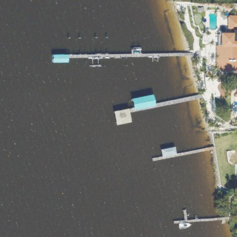
Aerial tile for 12FANot visible

12FA Niazi

MERRITT ISLAND, FL

28.279580556, -80.673783333

Waterway and residential dock area at center with no helipad or prepared landing surface visible.

88% confidence Verify on the map →
Is there really a pad here?
Aerial tile for 1FL4Not visible

1FL4 Vrs

ST. PETERSBURG, FL

27.8135500000001, -82.6822333329999

Industrial/commercial yard with no helipad markings or dedicated touchdown area at center.

85% confidence Verify on the map →
Is there really a pad here?
Aerial tile for 82FLNot visible

82FL Bannerman

TALLAHASSEE, FL

30.5624222220001, -84.2212916669999

Wooded/grass area with small structure at edge, but no helipad markings visible at center.

80% confidence Verify on the map →
Is there really a pad here?
Aerial tile for 2FL5Not visible

2FL5 Orlando Crossings

ORLANDO, FL

28.4626944440001, -81.455247222

Commercial shopping area at center with no helipad markings or prepared touchdown area visible.

80% confidence Verify on the map →
Is there really a pad here?
Aerial tile for FL05Not visible

FL05 Geico Helistop

ORLANDO, FL

28.537461111, -81.3844833329999

Large commercial building and parking lot at center with no helipad marking visible.

82% confidence Verify on the map →
Is there really a pad here?
Aerial tile for 3FL9Not visible

3FL9 Healthpark of Florida Emergency Helistop

FORT MYERS, FL

26.5081000000001, -81.913213889

Green park/courtyard area at center with no visible helipad markings or prepared touchdown surface.

72% confidence Verify on the map →
Is there really a pad here?
Aerial tile for FD73Not visible

FD73 Neshama

STUART, FL

27.2109, -80.209622222

Water with boat docks at center; no helipad or landing surface visible.

90% confidence Verify on the map →
Is there really a pad here?
Aerial tile for 6FA7Not visible

6FA7 McCall Storage

JACKSONVILLE, FL

30.157222222, -81.533888889

Building rooftop and dirt field at center with no discernible helipad markings.

78% confidence Verify on the map →
Is there really a pad here?
Aerial tile for 82FANot visible

82FA Airrep

FREEPORT, FL

30.4886100000001, -86.191667778

Bare dirt and grass field with trees at center; no helipad markings or prepared surface visible.

70% confidence Verify on the map →
Is there really a pad here?
Aerial tile for 1FA6Not visible

1FA6 Arrowhead

TAMPA, FL

28.1050250000001, -82.482597222

Open agricultural field at center with no helipad markings or prepared landing surface visible.

85% confidence Verify on the map →
Is there really a pad here?
Aerial tile for 91FANot visible

91FA Williams Road Helistop

ESTERO, FL

26.4177333330001, -81.8244749999999

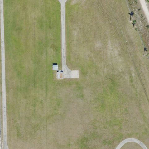
Open grass field with a small shed/structure at center but no helipad markings or prepared touchdown area.

75% confidence Verify on the map →
Is there really a pad here?
Aerial tile for 6FA4Not visible

6FA4 Mosquito Control

PALM COAST, FL

29.4576198890001, -81.208280583

Building with cleared gravel area at center but no identifiable helipad markings visible.

70% confidence Verify on the map →
Is there really a pad here?
Aerial tile for 53FANot visible

53FA Pasco Sheriffs Office

LAND O ' LAKES, FL

28.308038889, -82.486866667

Industrial/warehouse buildings with grass and gravel areas at center, no helipad markings or prepared landing surface visible.

85% confidence Verify on the map →
Is there really a pad here?
Aerial tile for 2FD8Not visible

2FD8 Hca Florida Fawcett Hospital

PORT CHARLOTTE, FL

26.9887444440001, -82.099455556

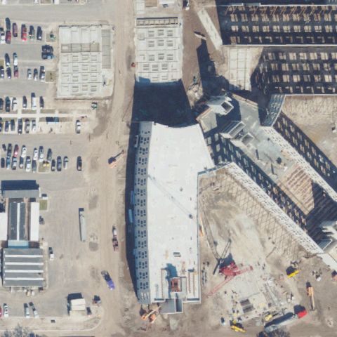
Aerial shows a large building complex with rooftop and parking lots but no visible helipad markings at center; may be under construction or obscured.

80% confidence Verify on the map →
Is there really a pad here?
Aerial tile for 02FLNot visible

02FL Baycare South Florida Baptist Hospital

PLANT CITY, FL

28.045836111, -82.1026388889999

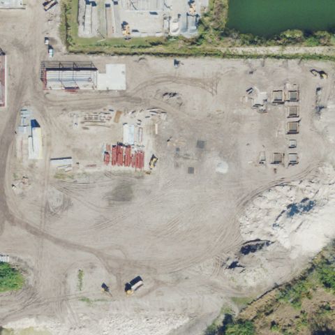
Construction site with large dark-roofed building and dirt areas, no prepared helipad pad or markings visible at center.

75% confidence Verify on the map →
Is there really a pad here?
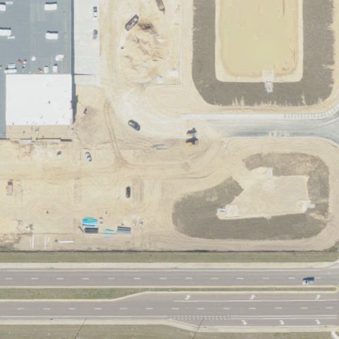
Aerial tile for FL23Not visible

FL23 Ascension Sacred Heart Navarre

NAVARRE, FL

30.403441667, -86.916752778

Image shows a cleared construction/gravel area with a small building, no helipad markings visible; facility may be newly built or pad not yet constructed.

80% confidence Verify on the map →
Is there really a pad here?
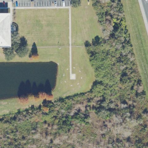
Aerial tile for FL26Not visible

FL26 Mp25

FORT MYERS, FL

26.488416667, -81.829519444

Image shows a gravel/dirt industrial yard with vehicles and buildings, no helipad markings visible at center.

82% confidence Verify on the map →
Is there really a pad here?
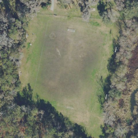
Aerial tile for 4FA9Not visible

4FA9 North Port Fire Rescue Station 86

NORTH PORT, FL

27.048777778, -82.337527778

Image shows a fire station building with parking lot and landscaping, no dedicated helipad pad or markings visible at center.

78% confidence Verify on the map →
Is there really a pad here?
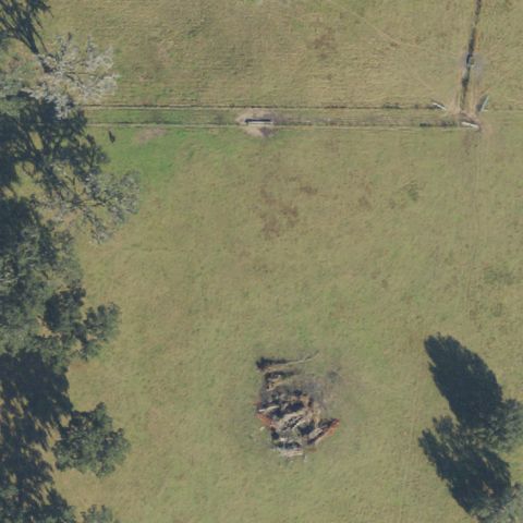
Aerial tile for 7FD3Not visible

7FD3 Tootsies Cabaret

MIAMI, FL

25.942166667, -80.202269444

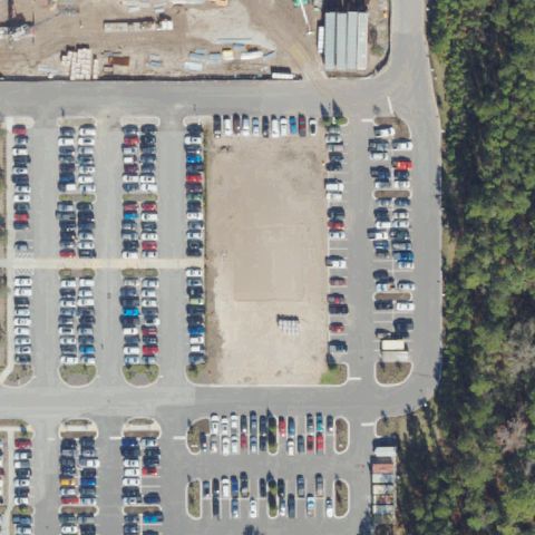
Image center shows a large commercial parking lot with road intersections and landscaping, no helipad markings visible.

85% confidence Verify on the map →
Is there really a pad here?
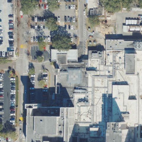
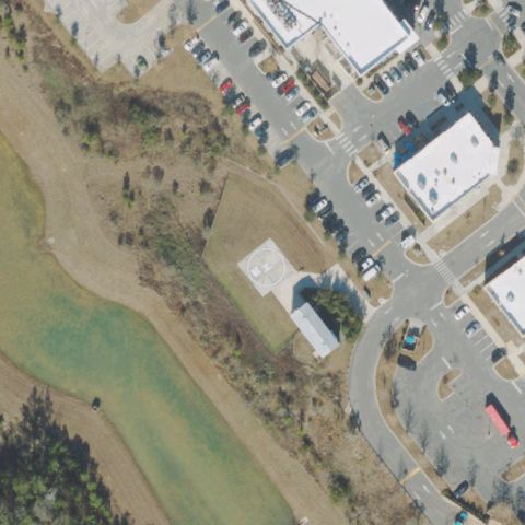
Aerial tile for 7FL2Not visible

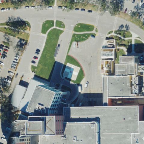
7FL2 Baycare Wesley Chapel Hospital

WESLEY CHAPEL, FL

28.2220083330001, -82.356844444

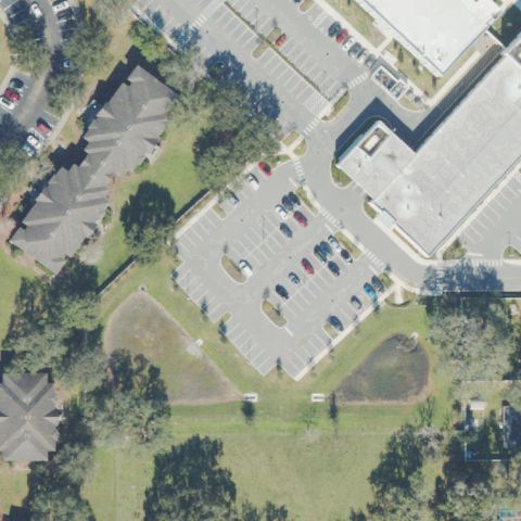
Image shows hospital building with parking lots and grass median, a small white square pad-like structure is visible but no clear helipad markings at center.

78% confidence Verify on the map →
Is there really a pad here?
Aerial tile for 1FD1Not visible

1FD1 Mc1

ELLENTON, FL

27.526775, -82.533977778

Image shows an industrial/construction yard with gravel, equipment, and a water body, no helipad visible at center.

85% confidence Verify on the map →
Is there really a pad here?
Aerial tile for 14FANot visible

14FA Kb Helo

TALLAHASSEE, FL

30.5988888890001, -84.103055556

Image shows open grassy field with trees, no helipad markings or prepared surface visible at center.

80% confidence Verify on the map →
Is there really a pad here?
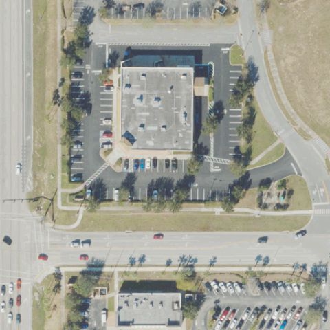
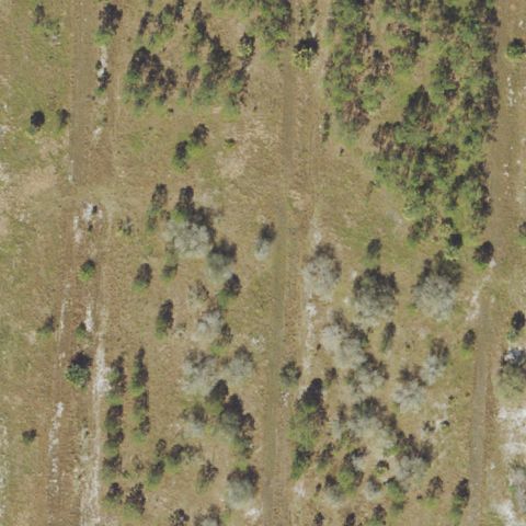
Aerial tile for FA77Not visible

FA77 Shepherds Point

TITUSVILLE, FL

28.526388889, -80.785555556

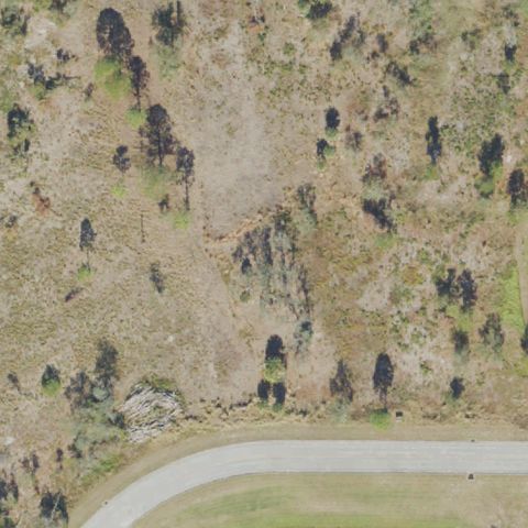
Image shows scrubby vegetation and sparse trees with a road curve at bottom, no helipad visible at center.

85% confidence Verify on the map →
Is there really a pad here?
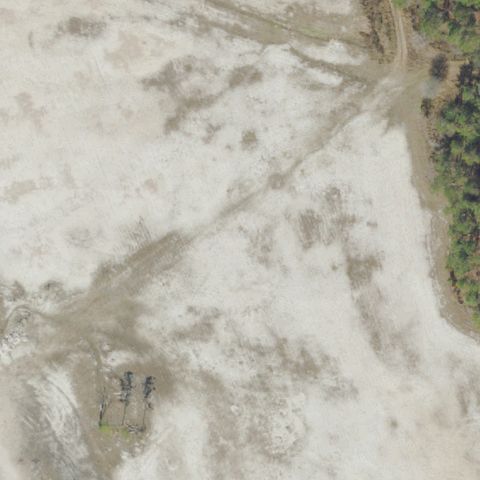
Aerial tile for 44FANot visible

44FA Orlando Health Lakeland

LAKELAND, FL

27.9944444440001, -81.917777778

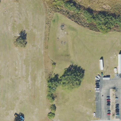
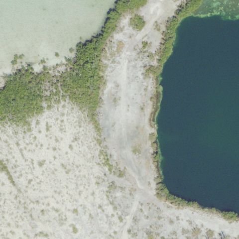
Image shows water/mudflat terrain with sparse vegetation, no helipad or prepared surface visible; may be wrong coordinates or pre-construction imagery.

82% confidence Verify on the map →
Is there really a pad here?
Aerial tile for 1FD0Not visible

1FD0 Advent Health Palm Coast

PALM COAST, FL

29.5523555560001, -81.244566667

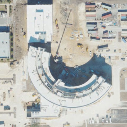
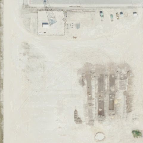
Image shows a large building under construction with crane and construction site, no helipad markings visible; facility not yet complete at time of imagery.

75% confidence Verify on the map →
Is there really a pad here?
Aerial tile for 1FD9Not visible

1FD9 Ah Winter Haven Osed

WINTER HAVEN, FL

27.9801972220001, -81.6647972219999

Image shows open grassy field with scattered brush/trees and vehicles at edge, no helipad or prepared landing area visible at center.

82% confidence Verify on the map →
Is there really a pad here?
Aerial tile for 24FANot visible

24FA Adventhealth Minneola

MINNEOLA, FL

28.603333333, -81.719722222

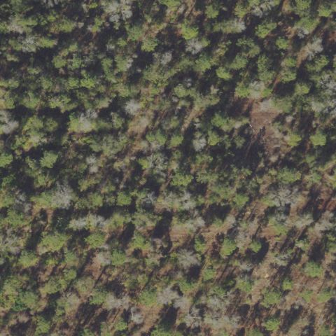
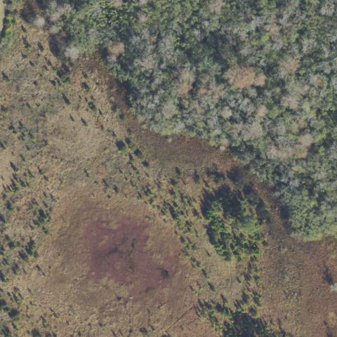
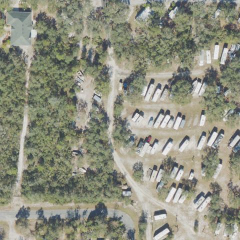
Image shows dense forest/tree canopy with no clearings or structures visible at center.

90% confidence Verify on the map →
Is there really a pad here?
Aerial tile for 26FANot visible

26FA Adventhealth Riverview

RIVERVIEW, FL

27.860775, -82.325308333

Image shows a hospital building under construction with no helipad visible; facility appears newly built or incomplete at time of imagery.

78% confidence Verify on the map →
Is there really a pad here?
Aerial tile for 62FANot visible

62FA Adventhealth Clermont Er

CLERMONT, FL

28.545163889, -81.7210527779999

Image shows a commercial building with parking lot and open undeveloped field, no helipad markings visible at center.

82% confidence Verify on the map →
Is there really a pad here?
Aerial tile for 3FA9Not visible

3FA9 Adventhealth Er At Lake Nona

ORLANDO, FL

28.4035166670001, -81.245777778

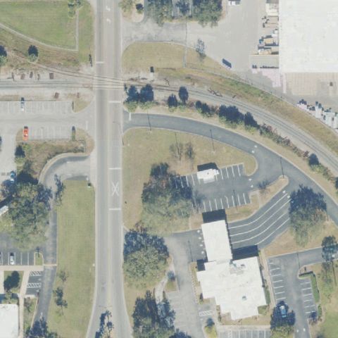
Image shows a commercial strip building with parking lot near a rail line, no helipad visible at center.

82% confidence Verify on the map →
Is there really a pad here?
Aerial tile for 99FLNot visible

99FL Baptist Health Pensacola

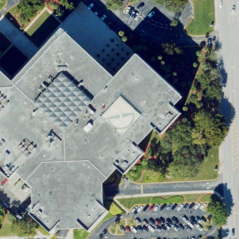
PENSACOLA, FL

30.468730556, -87.230188889

Image shows a large dark hospital rooftop with HVAC equipment, no helipad markings visible on the roof at center.

80% confidence Verify on the map →
Is there really a pad here?

Aerial tile for 47FANot visible

47FA Canal

TAVERNIER, FL

25.0230963610001, -80.496399694

Image shows a canal/waterway with dense vegetation on one side and residential development on the other, no helipad visible at center.

82% confidence Verify on the map →
Is there really a pad here?
Aerial tile for 1FA8Not visible

1FA8 Adventhealth Millenia Er

ORLANDO, FL

28.496027778, -81.432230556

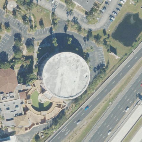
Image shows a large circular building (arena/stadium) with surrounding roads, no helipad visible at center.

78% confidence Verify on the map →
Is there really a pad here?
Aerial tile for 3FA2Not visible

3FA2 Orlando Health Wiregrass Ranch

WESLEY CHAPEL, FL

28.201666667, -82.330833333

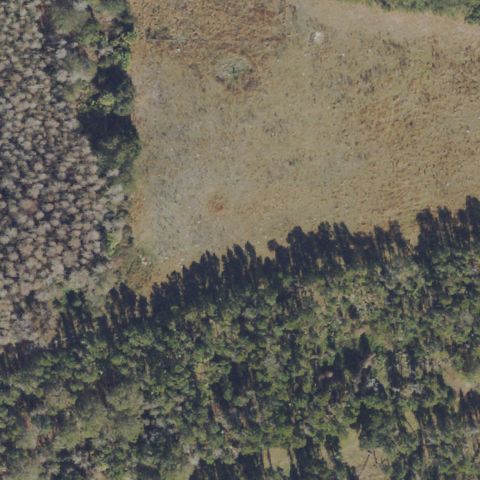
Image shows open scrub/grass field transitioning to forest, no helipad or prepared surface visible at center.

85% confidence Verify on the map →
Is there really a pad here?
Aerial tile for 51FANot visible

51FA Uf Health North

JACKSONVILLE, FL

30.483961111, -81.631897222

Image shows a parking lot with vehicles and no helipad markings visible at center.

82% confidence Verify on the map →
Is there really a pad here?
Aerial tile for FA14Not visible

FA14 Orlando Heli-Tours Margaritaville

KISSIMMEE, FL

28.345833333, -81.608055556

Image shows a resort/theme park area with landscaping and buildings, no helipad markings visible at center.

78% confidence Verify on the map →
Is there really a pad here?
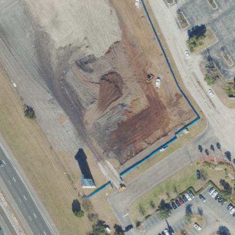
Aerial tile for 3FA4Not visible

3FA4 Adventhealth Lake Nona Helistop

ORLANDO, FL

28.406830556, -81.2426944439999

Image shows open scrub/grass terrain with sparse vegetation, no helipad or prepared surface visible at center.

85% confidence Verify on the map →
Is there really a pad here?
Aerial tile for 3FD4Not visible

3FD4 Uf Durbin Helipad

ST JOHN'S, FL

30.088333333, -81.5175

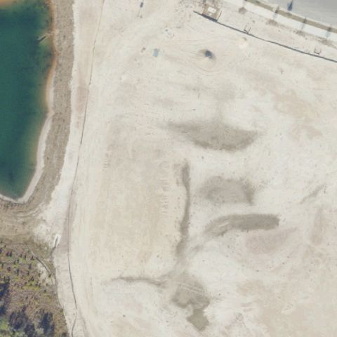
Sandy quarry/construction site at center with no pad markings or landing area visible.

85% confidence Verify on the map →
Is there really a pad here?
Aerial tile for 5FD3Not visible

5FD3 Manatee County Sheriff's Office Helipad

PALMETTO, FL

27.533972222, -82.565241667

Buildings and grass at center with no helipad markings visible.

75% confidence Verify on the map →
Is there really a pad here?
Aerial tile for 84FANot visible

84FA Summer Spot

CLERMONT, FL

28.5388888890001, -81.8224999999999

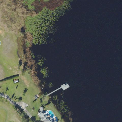
Center is open water/lake with a small dock; no helipad present.

90% confidence Verify on the map →
Is there really a pad here?
Aerial tile for 81FDNot visible

81FD Adventhealth Poinciana Helistop

KISSIMMEE, FL

28.1628138890001, -81.438763889

Mobile home or storage lot at center with no helipad markings visible.

85% confidence Verify on the map →
Is there really a pad here?
Aerial tile for FA07Not visible

FA07 Okeechobee Clean Energy Center

OKEECHOBEE, FL

27.632683333, -80.7945722219999

Sandy/gravel industrial area at center with no helipad marking or prepared pad visible.

80% confidence Verify on the map →
Is there really a pad here?
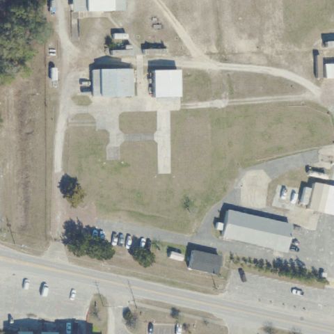
Aerial tile for 4FA4Not visible

4FA4 George Skoko

KEY WEST, FL

24.5958858060001, -81.681481111

Sandy island edge meeting water; no helipad or landing pad visible at center.

90% confidence Verify on the map →
Is there really a pad here?
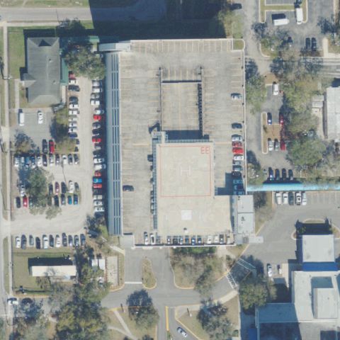
Aerial tile for 61FANot visible

61FA North Merritt Island

MERRITT ISLAND, FL

28.460194444, -80.711333333

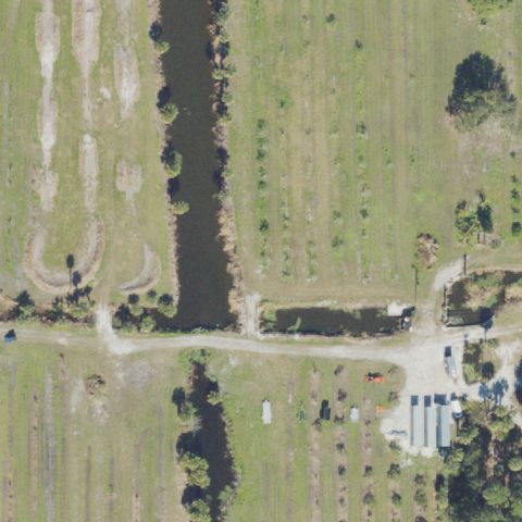
Open fields and canal with no helipad markings visible at center.

85% confidence Verify on the map →
Is there really a pad here?
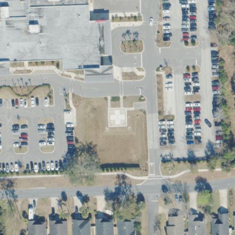
Aerial tile for 77FANot visible

77FA Shell Bay Golf Course

HALLANDALE BEACH, FL

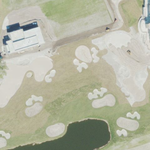
25.9902187500001, -80.131714722

Golf course with sand bunkers and pond at center; no helipad marking present.

85% confidence Verify on the map →
Is there really a pad here?
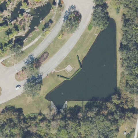
Aerial tile for 21FDNot visible

21FD Adventhealth Partin Settlement Helistop

KISSIMMEE, FL

28.2766222220001, -81.343111111

Hospital parking lot at center with no helipad markings; imagery may predate construction.

75% confidence Verify on the map →
Is there really a pad here?
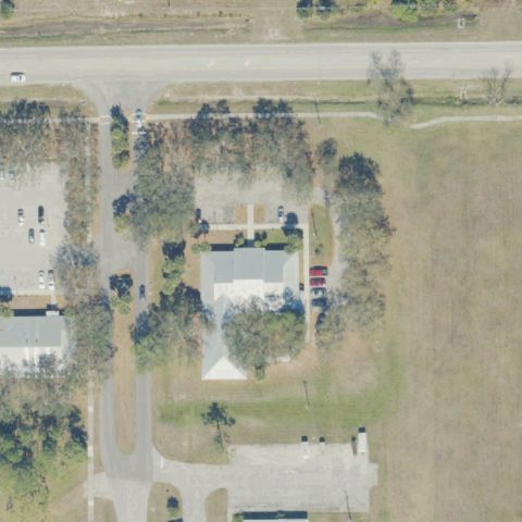
Aerial tile for 22FLNot visible

22FL Adventhealth Sandlake Helistop

ORLANDO, FL

28.451733333, -81.411941667

Road intersection with medical building at center; no helipad marking visible.

75% confidence Verify on the map →
Is there really a pad here?
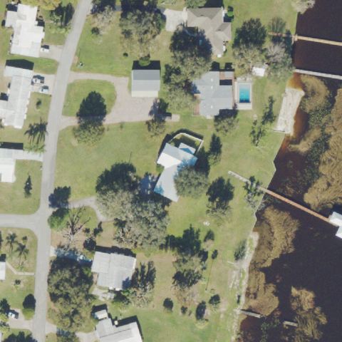
Aerial tile for FL64Not visible

FL64 Practice Field Helistop

MIAMI GARDENS, FL

25.9593611110001, -80.244638889

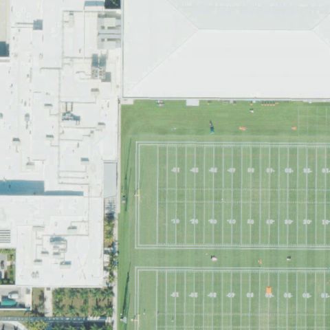
Football practice field at center with no helipad marking; large building roof visible off to side but no H marker.

80% confidence Verify on the map →
Is there really a pad here?
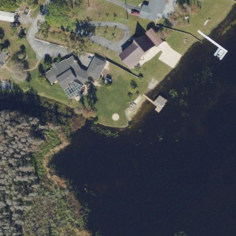
Aerial tile for FL96Not visible

FL96 Baptist St Augustine

ST AUGUSTINE, FL

29.9238611110001, -81.413691667

Active construction/dirt site at center; imagery predates hospital completion, no pad visible.

80% confidence Verify on the map →
Is there really a pad here?
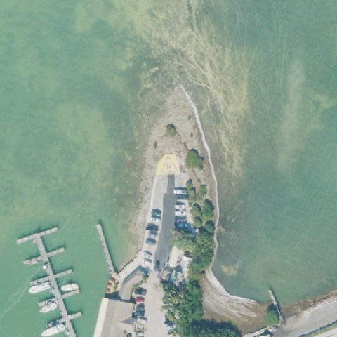
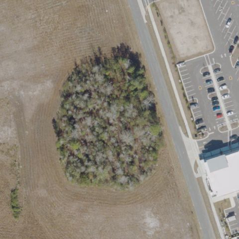
Aerial tile for 49FLNot visible

49FL Nassau Crossing Hospital

YULEE, FL

30.6202777780001, -81.640555556

Small tree grove at center with hospital parking visible to side; no helipad present at center.

85% confidence Verify on the map →
Is there really a pad here?
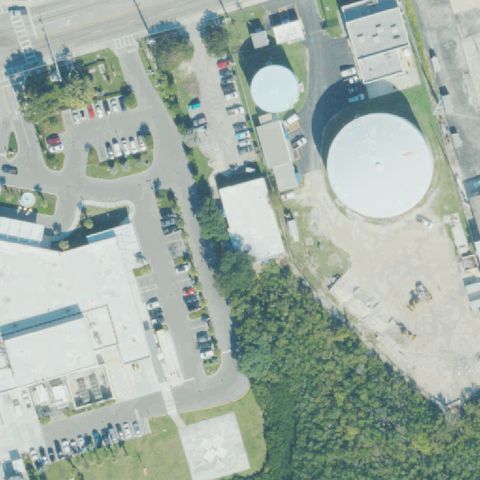
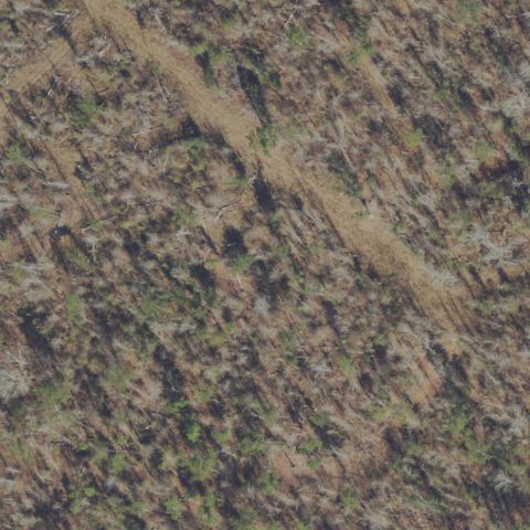
Aerial tile for 93FLNot visible

93FL Calhoun Liberty Hospital

BLOUNTSTOWN, FL

30.432244444, -85.0541666669999

Dense forest/scrub at center with no clearing or helipad visible.

90% confidence Verify on the map →
Is there really a pad here?
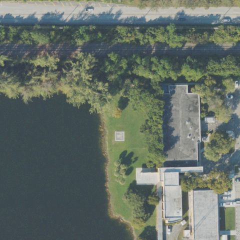
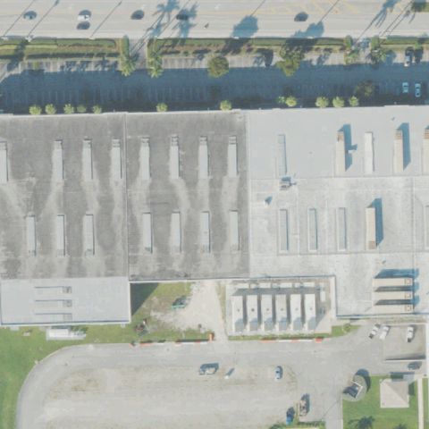
Aerial tile for 74FANot visible

74FA Miami Dade County Lightspeed

MIAMI, FL

25.7961111110001, -80.3822222219999

Large warehouse/distribution facility with parking lot at center; no helipad marking visible.

85% confidence Verify on the map →
Is there really a pad here?
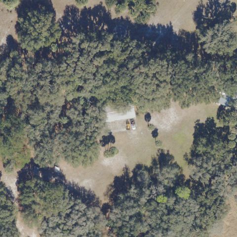
Aerial tile for 09FLNot visible

09FL Hard Rock Stadium West

MIAMI GARDENS, FL

25.960055556, -80.241805556

Stadium plaza/parking area at center with no helipad marking visible.

80% confidence Verify on the map →
Is there really a pad here?
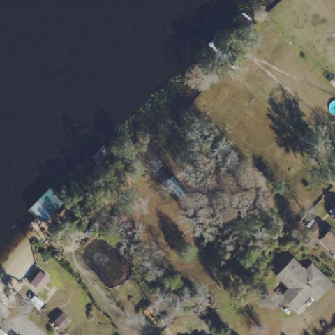
Aerial tile for 83FANot visible

83FA Ferguson

TAMPA, FL

28.096101, -82.4766739999999

Residential waterfront property at center with no helipad visible.

85% confidence Verify on the map →
Is there really a pad here?
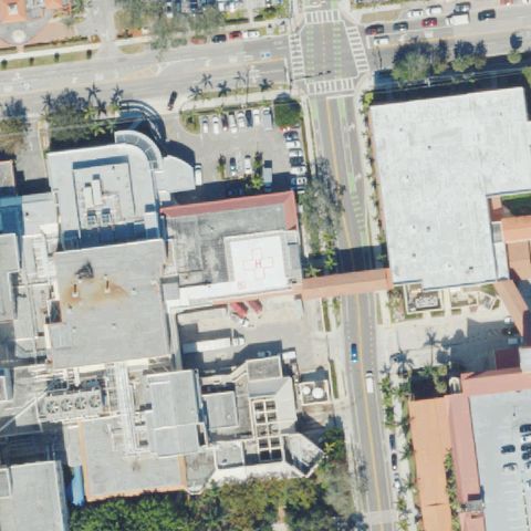
Aerial tile for 98FANot visible

98FA Sterling Acres LLC

LAKELAND, FL

28.234582, -81.9665229999999

Open pasture/field at center with no helipad markings or prepared surface visible.

85% confidence Verify on the map →
Is there really a pad here?
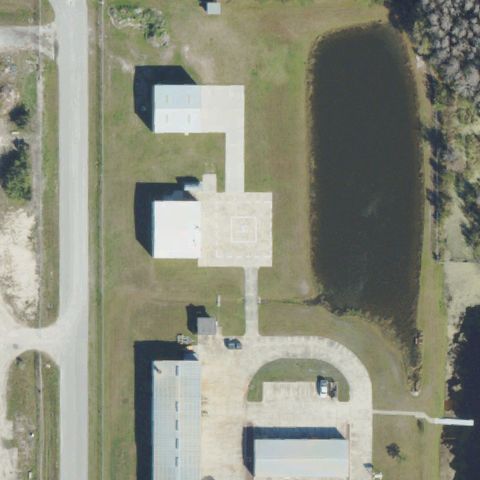
Aerial tile for 38FANot visible

38FA Dyer Chevrolet Lake Wales

LAKE WALES, FL

27.9500055560001, -81.620588889

Auto dealership parking lot at center with no helipad markings visible.

85% confidence Verify on the map →
Is there really a pad here?
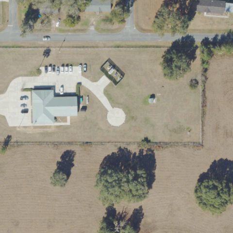
Aerial tile for 87FANot visible

87FA Adventhealth Fruitland Park Helistop

FRUITLAND PARK, FL

28.8628972220001, -81.950277778

Rural property with small outbuilding at center; no helipad or pad markings visible.

80% confidence Verify on the map →
Is there really a pad here?
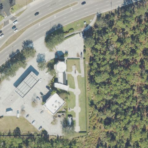
Aerial tile for 89FANot visible

89FA Watson Island

MIAMI, FL

25.7827833330001, -80.1763333329999

Coastal/bayfront area with vegetation and open ground at center; no helipad visible.

85% confidence Verify on the map →
Is there really a pad here?
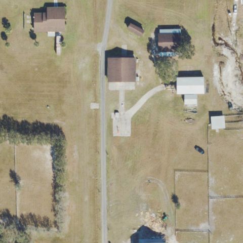
Aerial tile for 5FA0Not visible

5FA0 Silver-Leaf Hospital Helistop

ST AUGUSTINE, FL

30.001438889, -81.501822222

Sandy construction/cleared site at center with no helipad or prepared pad visible.

85% confidence Verify on the map →
Is there really a pad here?
Aerial tile for 3FA0Not visible

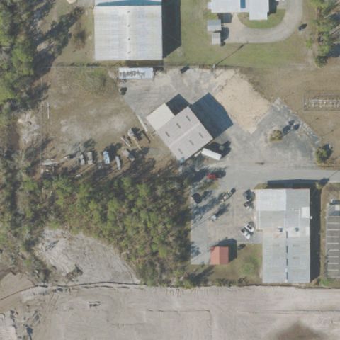
3FA0 Three Lakes Golf Club

STUART, FL

27.078255556, -80.281147222

Open scrub grassland with no helipad marking or prepared surface visible at center.

88% confidence Verify on the map →
Is there really a pad here?
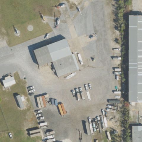
Aerial tile for 86FANot visible

86FA Lee Meml Health Fort Myers Helistop

FORT MYERS, FL

26.604477472, -81.822611889

Open field with tree line at upper edge; no helipad visible at center.

80% confidence Verify on the map →
Is there really a pad here?
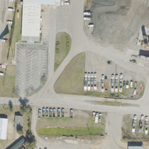
Aerial tile for 67FANot visible

67FA Suntrax Air

AUBURNDALE, FL

28.1111868610001, -81.8311140279999

Road construction/interchange area at center with no helipad or landing pad visible.

85% confidence Verify on the map →
Is there really a pad here?
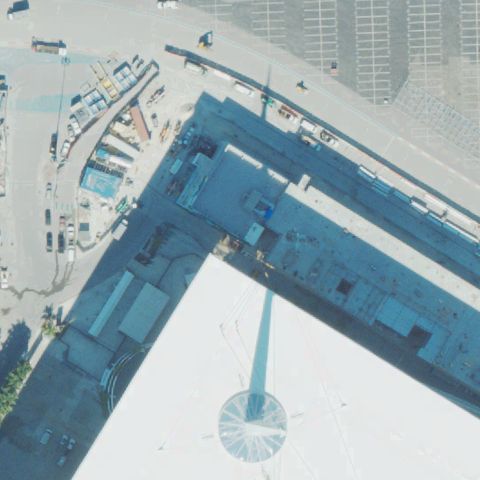
Aerial tile for 23FANot visible

23FA Ocean Beach Resort

MIAMI BEACH, FL

25.824563889, -80.122463889

Waterway/marina area at center with no helipad markings visible.

85% confidence Verify on the map →
Is there really a pad here?
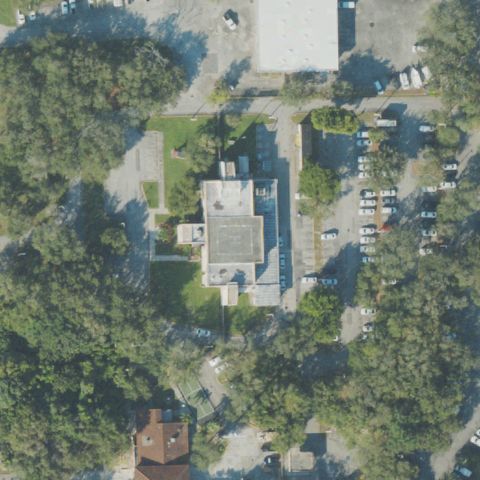
Aerial tile for 69FLNot visible

69FL Lsl Auburndale

AUBURNDALE, FL

28.15095, -81.8068916669999

Active construction site at center with no helipad or landing pad visible.

85% confidence Verify on the map →
Is there really a pad here?
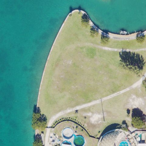
Aerial tile for 2FL8Not visible

2FL8 James

BROOKSVILLE, FL

28.58615, -82.4719138889999

Open pasture with small outbuilding at center; no helipad or landing pad markings visible.

88% confidence Verify on the map →
Is there really a pad here?
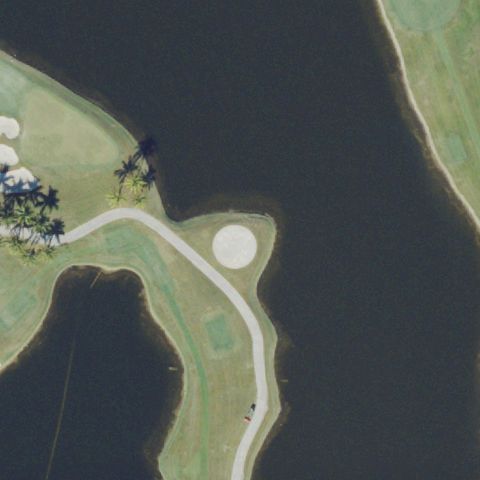
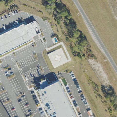
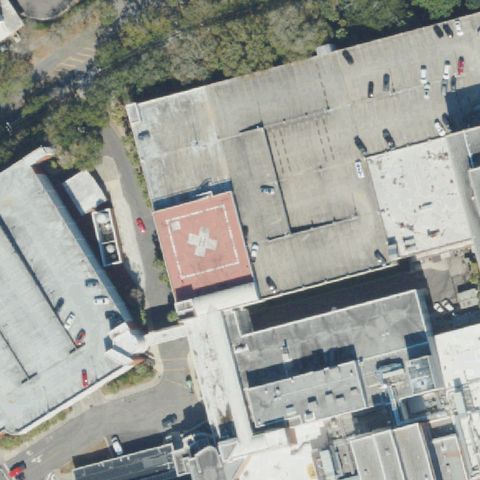
Aerial tile for 5FL2Off-center

5FL2 Hca Florida Blake Hospital

BRADENTON, FL

27.482080556, -82.6217972219999

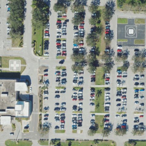
H marked rooftop helipad visible toward upper-left of image; center of image shows parking lot rather than the pad.

85% confidence Verify on the map →
Is there really a pad here?
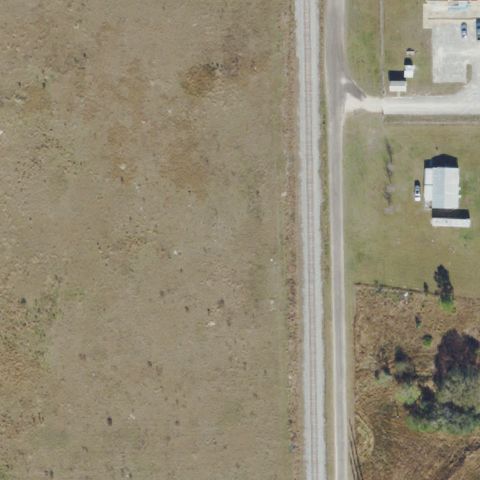
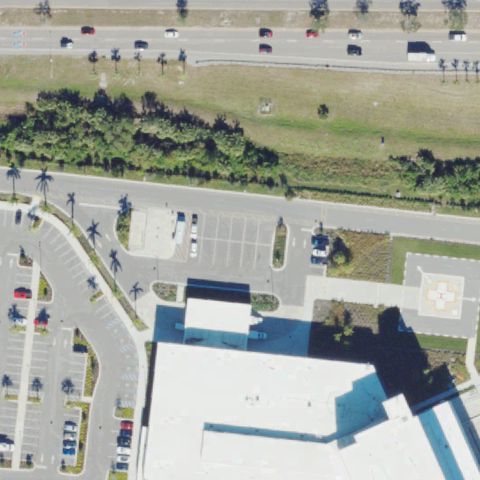
Aerial tile for 77FLOff-center

77FL Advent Health Celebration

CELEBRATION, FL

28.329166667, -81.5425

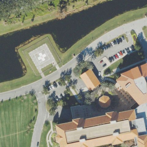
H marked ground pad visible in upper-left portion of image; image center is slightly offset to the canal/parking area.

88% confidence Verify on the map →
Is there really a pad here?
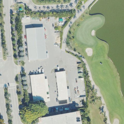
Aerial tile for 59FLOff-center

59FL Florida Power & Light-Juno Beach

JUNO BEACH, FL

26.859502778, -80.057263889

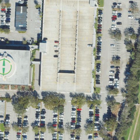
Clear H marking visible on a rooftop structure at the lower-left of image, not at the image center.

88% confidence Verify on the map →
Is there really a pad here?
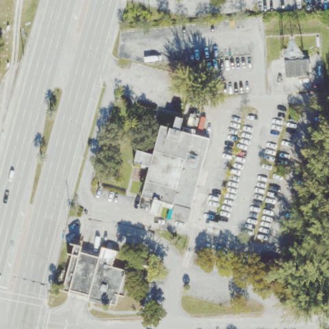
Aerial tile for 12FDOff-center

12FD Hca Florida Osceola Hospital

KISSIMMEE, FL

28.298536111, -81.410247222

Red cross H marking visible at lower-left of image on the hospital, not at the exact image center.

88% confidence Verify on the map →
Is there really a pad here?
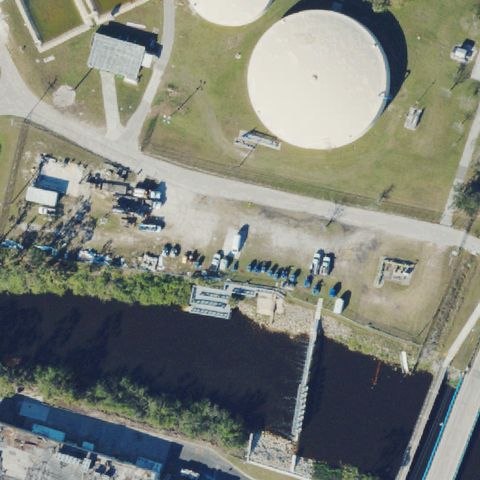
Aerial tile for 63FLOff-center

63FL Shands Cair

GAINESVILLE, FL

29.635516667, -82.350572222

Small pad with H marking visible in upper portion of image, not at the exact image center.

82% confidence Verify on the map →
Is there really a pad here?
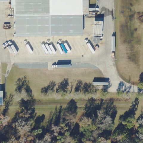
Aerial tile for 3FL2Off-center

3FL2 Florida Hospital-Fish Meml

ORANGE CITY, FL

28.914722222, -81.284722222

A helipad marking appears visible in the upper-left area of the image, off-center from the hospital parking lot in the center.

80% confidence Verify on the map →
Is there really a pad here?
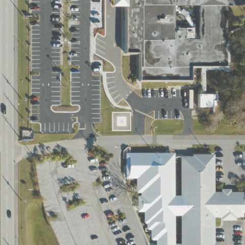
Aerial tile for 25FAOff-center

25FA Jackson Meml Hospital

MIAMI, FL

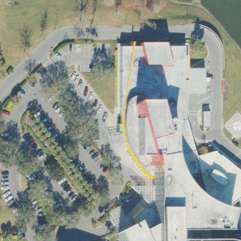
25.792861111, -80.211469444

A circular rooftop pad feature appears visible in the upper-left area of the image; the image center shows rooftop without a clear marking.

68% confidence Verify on the map →
Is there really a pad here?
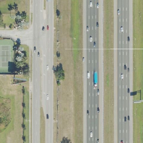
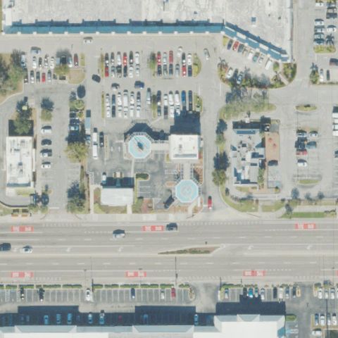
Aerial tile for 9FD1Off-center

9FD1 Sacred Heart Hospital

PENSACOLA, FL

30.474483333, -87.212166667

Two H-marked helipad pads visible in the image but neither falls precisely at the image center; the pads are toward lower-left and upper-right.

85% confidence Verify on the map →
Is there really a pad here?
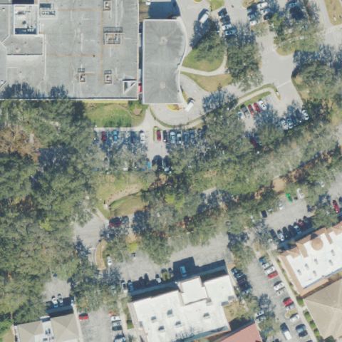
Aerial tile for FA23Off-center

FA23 Sarasota Meml Hospital

SARASOTA, FL

27.3178472220001, -82.530394444

A large red H with circle is visible on a rooftop toward the upper-left of the image, not at the image center.

95% confidence Verify on the map →
Is there really a pad here?
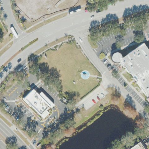
Aerial tile for FD18Off-center

FD18 Tallahassee Meml Hospital

TALLAHASSEE, FL

30.457261111, -84.2610722219999

An H with circle is visible on a rooftop toward the upper-right; the image center is on a different building.

88% confidence Verify on the map →
Is there really a pad here?
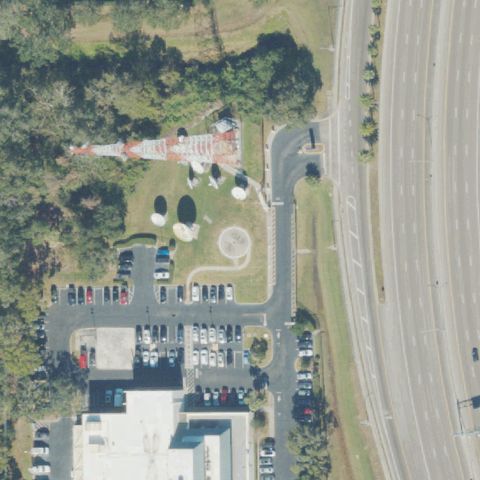
Aerial tile for FL91Off-center

FL91 Jackson South Medical Center

MIAMI, FL

25.6299500000001, -80.344205556

Hospital rooftop with H marker visible but positioned slightly off image center toward upper-left quadrant.

85% confidence Verify on the map →
Is there really a pad here?
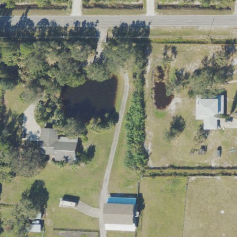
Aerial tile for FA82Off-center

FA82 South Lake Hospital Main Campus

CLERMONT, FL

28.552902778, -81.720977778

Small H-marked pad visible in upper-right corner of the image, not at center; center shows building/parking only.

70% confidence Verify on the map →
Is there really a pad here?
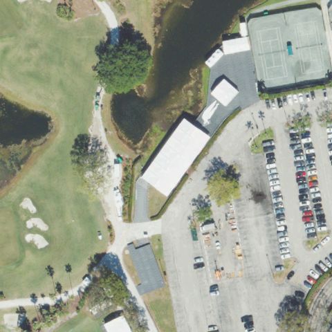
Aerial tile for 79FAOff-center

79FA Adventhealth Port Orange Helistop

MAITLAND, FL

29.104525, -81.029416667

A distinct raised concrete square pad structure is visible adjacent to the building complex, consistent with a helistop, but slightly left of center.

72% confidence Verify on the map →
Is there really a pad here?
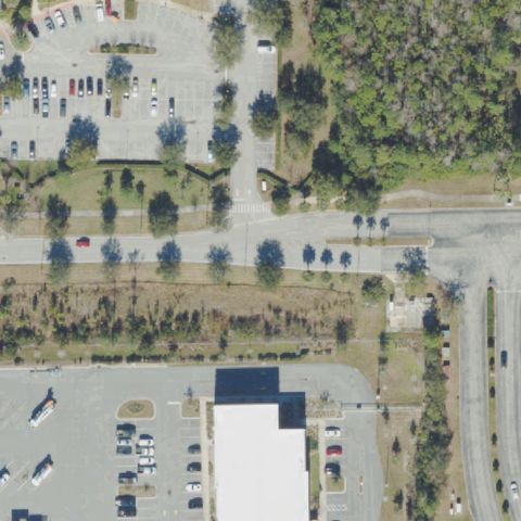
Aerial tile for 78FAOff-center

78FA Sarasota Memorial Hospital

NORTH VENICE, FL

27.1368416670001, -82.413205556

Bright white concrete prepared pad area visible near the hospital complex, slightly off center toward lower right, consistent with a helistop surface.

68% confidence Verify on the map →
Is there really a pad here?
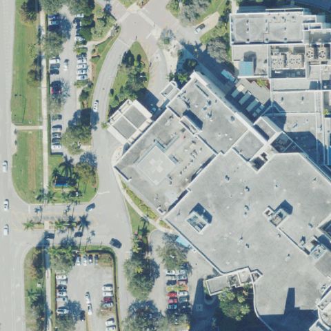
Aerial tile for 5FD6Uncertain

5FD6 Boca Grande Helistop

BOCA GRANDE, FL

26.742291944, -82.2587055559999

Cleared rural area near pond but no distinct H marking or prepared helipad surface visible at center.

68% confidence Verify on the map →
Is there really a pad here?
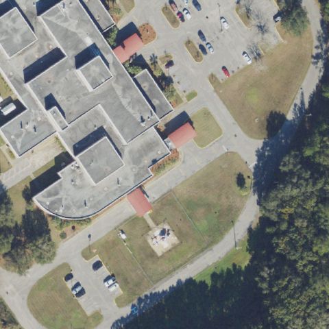
Aerial tile for FD58Uncertain

FD58 Ascension St. Vincent's Southside

JACKSONVILLE, FL

30.2549194440001, -81.583077778

Open cleared rectangular area visible at center but no H marking or helipad designation discernible.

65% confidence Verify on the map →
Is there really a pad here?
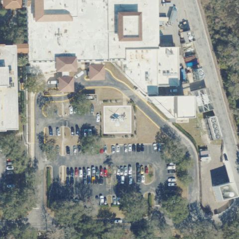
Aerial tile for 50FAUncertain

50FA Lehigh Acres Rgnl Medical Center

LEHIGH ACRES, FL

26.616607222, -81.659146111

Small white structure visible near water/parking area but no clear helipad markings at center.

60% confidence Verify on the map →
Is there really a pad here?
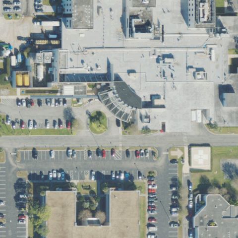
Aerial tile for FA45Uncertain

FA45 Lake Wales

LAKE WALES, FL

27.9163583330001, -81.548983333

Open field near a building; only a very faint square outline visible near center with no clear H or recognized pad markings.

25% confidence Verify on the map →
Is there really a pad here?
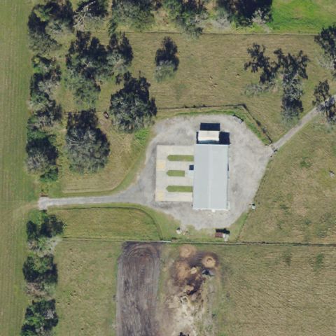
Aerial tile for 3FD3Uncertain

3FD3 Holmes Rgnl Medical Center

MELBOURNE, FL

28.088980556, -80.613933333

Large hospital rooftop complex visible but no H marking or designated pad identifiable at the image center.

65% confidence Verify on the map →
Is there really a pad here?
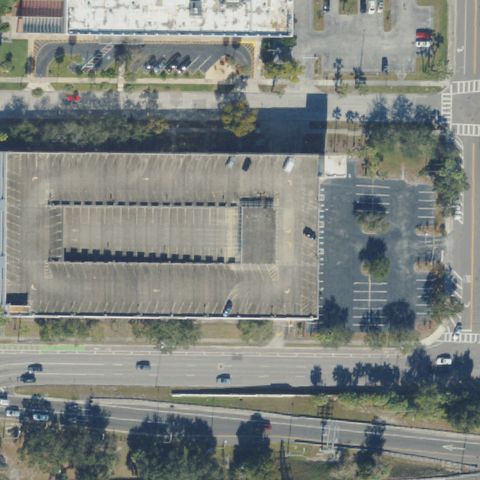
Aerial tile for 9FA8Uncertain

9FA8 Baptist Hospital

MIAMI, FL

25.6860750000001, -80.338477778

Hospital/pond area at center shows a structure near water but no clear H or helipad markings identifiable.

52% confidence Verify on the map →
Is there really a pad here?
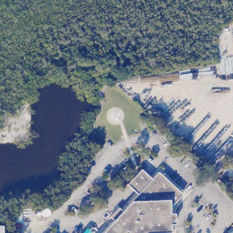
Aerial tile for FL25Uncertain

FL25 Hca Florida Mercy Hospital

MIAMI, FL

25.7393750000001, -80.213186111

Waterfront hospital with rooftop visible but no distinct H or pad marking identifiable at the image center.

55% confidence Verify on the map →
Is there really a pad here?
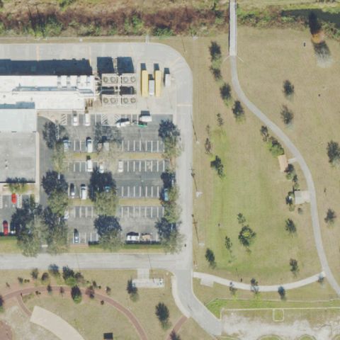
Aerial tile for 3FL3Uncertain

3FL3 Sheriff's Operation Center

OCALA, FL

29.1929305560001, -82.175197222

Grassy area near building with a small dark circular marking that does not clearly identify as a helipad.

60% confidence Verify on the map →
Is there really a pad here?
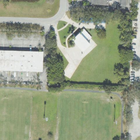
Aerial tile for FL94Uncertain

FL94 Miami-Dade County Helistop

MIAMI, FL

25.7682055560001, -80.34515

Large building rooftop visible near image center but no H or clear helipad marking identifiable.

62% confidence Verify on the map →
Is there really a pad here?
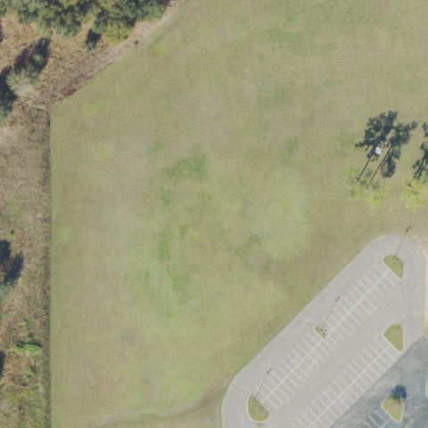
Aerial tile for FL98Uncertain

FL98 Kelly Tractor Company

MIAMI, FL

25.826583333, -80.3334833329999

Road intersection with a small circular median feature; no helipad marking or prepared pad visible at image center.

65% confidence Verify on the map →
Is there really a pad here?
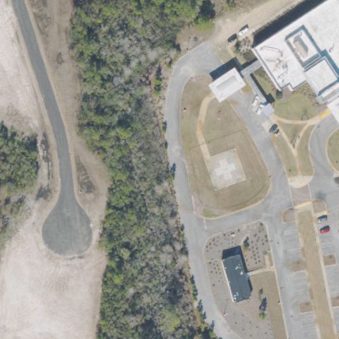
Aerial tile for 76FLUncertain

76FL Health Central

OCOEE, FL

28.5505555560001, -81.528055556

Large hospital campus rooftops visible at center; no clear H marking or touchdown circle, though imagery resolution limits certainty.

65% confidence Verify on the map →
Is there really a pad here?
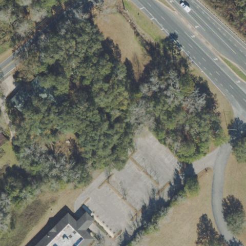
Aerial tile for FD28Uncertain

FD28 Orlando Rgnl Medical Center

ORLANDO, FL

28.525280278, -81.377014167

Large hospital complex rooftops visible; no distinct H circle or marked pad discernible at center.

65% confidence Verify on the map →
Is there really a pad here?
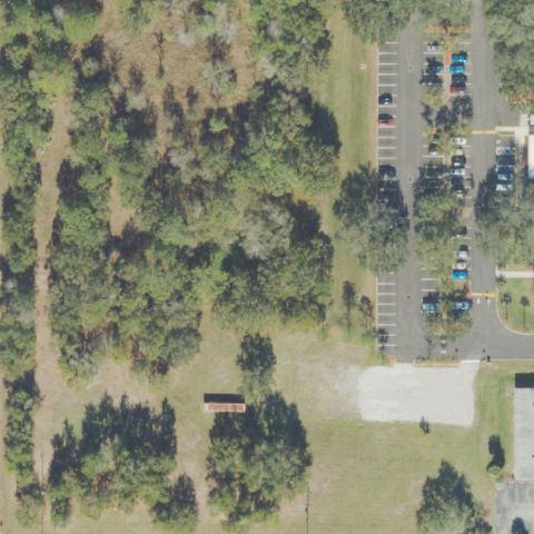
Aerial tile for FD36Uncertain

FD36 Advent Health East Orlando

ORLANDO, FL

28.5407500000001, -81.280833333

Hospital campus with rooftops at center; no clear helipad marking visible at the image center.

65% confidence Verify on the map →
Is there really a pad here?
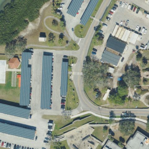
Aerial tile for 3FD5Uncertain

3FD5 Arnold Palmer Hospital

ORLANDO, FL

28.523122222, -81.380191667

Large hospital building rooftops dominate the center; no distinct H or circle pad marking visible.

65% confidence Verify on the map →
Is there really a pad here?
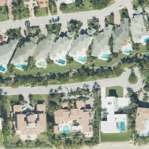
Aerial tile for 3FA3Uncertain

3FA3 Southfork

SAINT CLOUD, FL

28.2228944440001, -81.364933333

Large concrete apron/pad area visible but no H or touchdown marker; appears to be a private aircraft or storage area.

65% confidence Verify on the map →
Is there really a pad here?
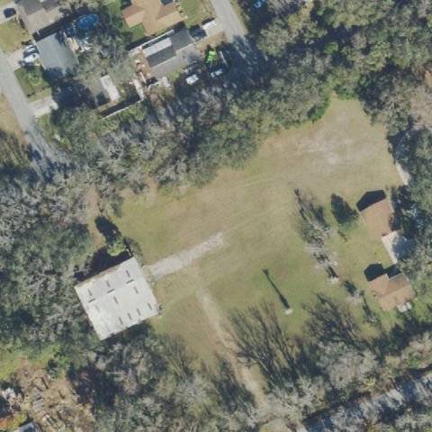
Aerial tile for FA58Uncertain

FA58 Advent Health North Pinellas

TARPON SPRINGS, FL

28.1326333330001, -82.7583333329999

Hospital rooftop visible at center but no clear H or circle marking identifiable.

68% confidence Verify on the map →
Is there really a pad here?
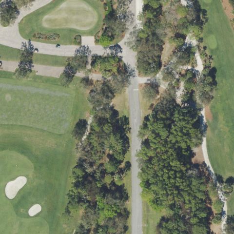
Aerial tile for FL51Uncertain

FL51 Wptv

WEST PALM BEACH, FL

26.7140805560001, -80.063919444

Commercial rooftop and parking area at center; no clear helipad marking identifiable.

65% confidence Verify on the map →
Is there really a pad here?
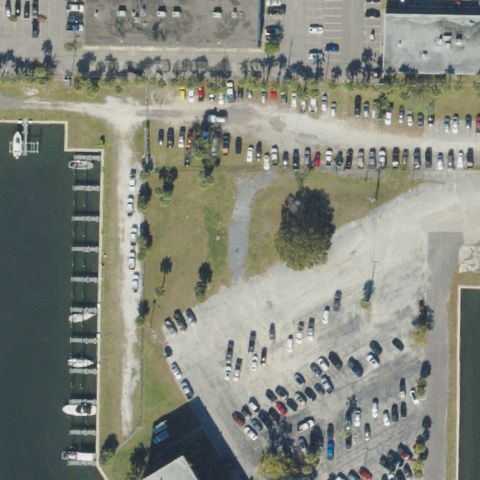
Aerial tile for FL56Uncertain

FL56 Hollywood Helipad

HOLLYWOOD, FL

26.0455000000001, -80.215833333

Building surrounded by trees at center; no clear helipad marking visible despite 'Hollywood Helipad' name.

68% confidence Verify on the map →
Is there really a pad here?
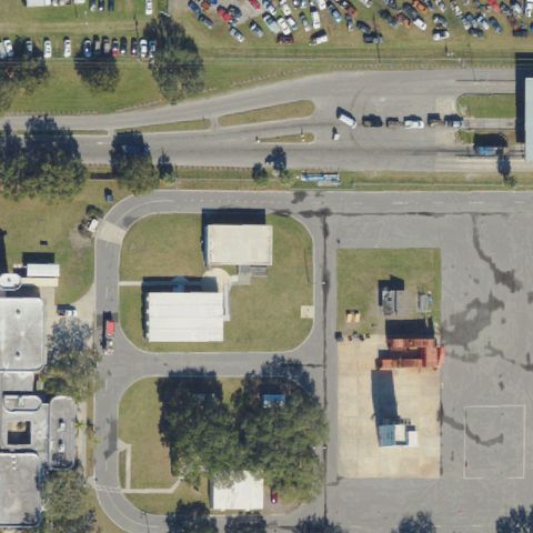
Aerial tile for FA00Uncertain

FA00 Advent Health Winter Garden Er

WINTER GARDEN, FL

28.523111111, -81.5890277779999

Circular drive and plaza at center near hospital; no distinct helipad touchdown marker visible.

68% confidence Verify on the map →
Is there really a pad here?
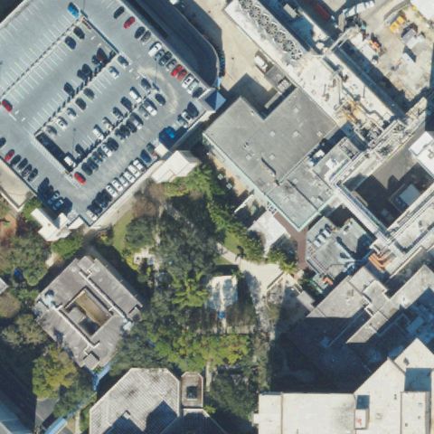
Aerial tile for 32FLUncertain

32FL Florida Hospital Waterman

TAVARES, FL

28.8244083330001, -81.710527778

Hospital building complex at center with no clearly distinguishable helipad or H marking visible in the imagery.

65% confidence Verify on the map →
Is there really a pad here?
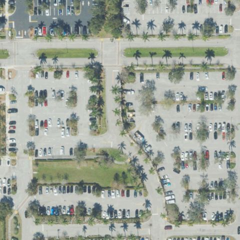
Aerial tile for 68FLUncertain

68FL Hca Florida Capital Hospital

TALLAHASSEE, FL

30.4759361110001, -84.231005556

Parking lot area at center with unclear markings; no definitive H or helipad touchdown marker visible.

65% confidence Verify on the map →
Is there really a pad here?
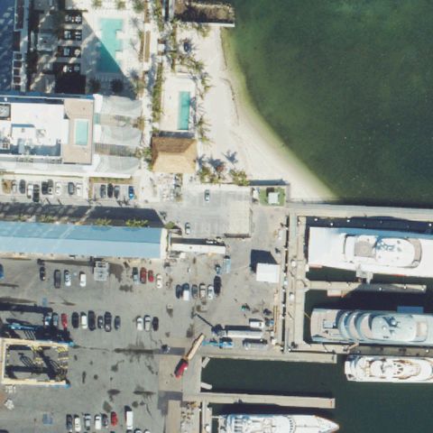
Aerial tile for 66FLUncertain

66FL Tampa General Hospital North

TAMPA, FL

27.9383722220001, -82.460280556

Hospital complex building with large dark roof at center; no clear H or pad marking discernible.

65% confidence Verify on the map →
Is there really a pad here?
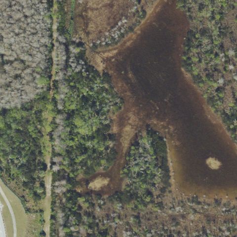
Aerial tile for 0FL1Uncertain

0FL1 Tampa General Hospital South

TAMPA, FL

27.93805, -82.460366667

Hospital building and parking garage at center with no helipad marking clearly visible.

65% confidence Verify on the map →
Is there really a pad here?
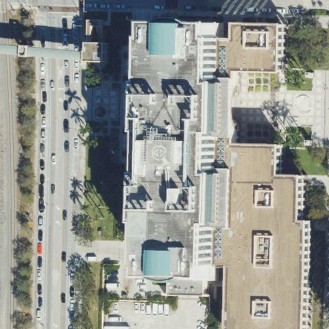
Aerial tile for 73FLUncertain

73FL Oh Viera Hospital

MELBOURNE, FL

28.260194444, -80.7289388889999

Very washed-out/bleached concrete surface fills the entire frame, possibly a rooftop, but no H marking or distinct pad outline is discernible.

55% confidence Verify on the map →
Is there really a pad here?
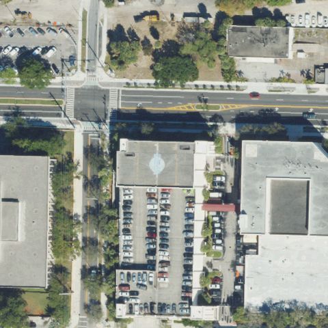
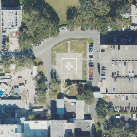
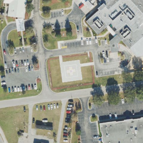
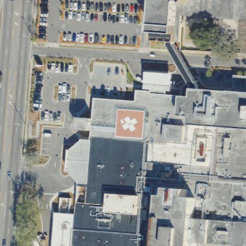
Aerial tile for 01FDConfirmed

01FD Advent Health Altamonte Springs

ALTAMONTE SPRINGS, FL

28.6666388890001, -81.3697

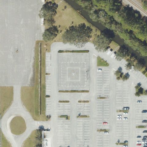
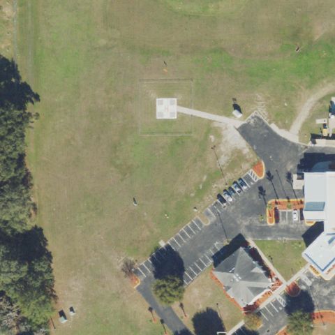
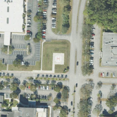
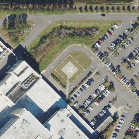
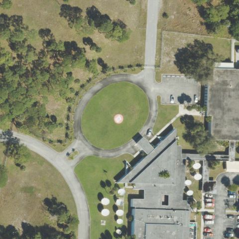
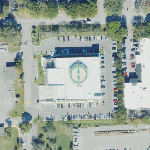
Clear H cross-shaped helipad on concrete ground pad at image center.

✓ Confirmed by AI vision with Claude Opus 4.8

97% confidence Verify on the map →
Is there really a pad here?
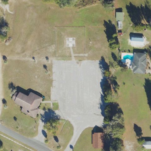
Aerial tile for FA57Confirmed

FA57 Archer Emergency

ARCHER, FL

29.5342666670001, -82.524552778

Square concrete pad with faint circular marking visible at center on open grass area.

✓ Confirmed by AI vision with Claude Opus 4.8

82% confidence Verify on the map →
Is there really a pad here?
Aerial tile for 9FA2Confirmed

9FA2 Lakeside Medical Center

BELLE GLADE, FL

26.7237250000001, -80.671969444

Clear H marking on concrete ground pad at image center near hospital building.

✓ Confirmed by AI vision with Claude Opus 4.8

96% confidence Verify on the map →
Is there really a pad here?
Aerial tile for 19FLConfirmed

19FL The Villages

BELLEVIEW, FL

28.981472222, -82.0164444439999

Small concrete pad with visible H marking on open ground at image center.

✓ Confirmed by AI vision with Claude Opus 4.8

88% confidence Verify on the map →
Is there really a pad here?
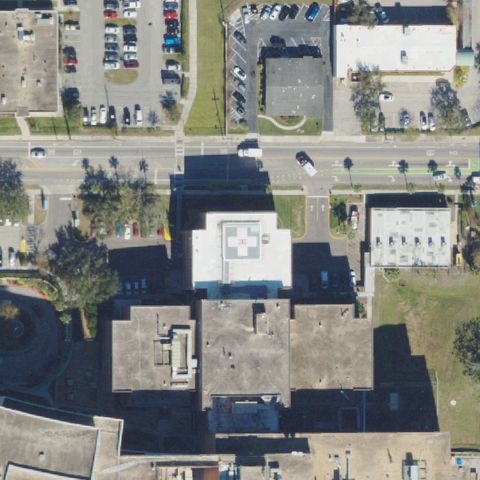
Aerial tile for 5FL3Confirmed

5FL3 Hca Florida Brandon Hospital

BRANDON, FL

27.9329000000001, -82.288772222

Very clear H marking on rooftop helipad at image center.

✓ Confirmed by AI vision with Claude Opus 4.8

97% confidence Verify on the map →
Is there really a pad here?
Aerial tile for 80FLConfirmed

80FL Northwest Florida Community Hospital

CHIPLEY, FL

30.765963889, -85.543761111

Clear circle with H marking on concrete ground pad at image center between hospital buildings.

✓ Confirmed by AI vision with Claude Opus 4.8

95% confidence Verify on the map →
Is there really a pad here?
Aerial tile for FD56Confirmed

FD56 Inhome Medical Landing

CRESCENT CITY, FL

29.448805556, -81.5141055559999

Clear circular landing zone marking on grass field at image center.

✓ Confirmed by AI vision with Claude Opus 4.8

90% confidence Verify on the map →
Is there really a pad here?
Aerial tile for 11FDConfirmed

11FD North Okaloosa Medical Center

CRESTVIEW, FL

30.734822222, -86.562297222

H marking visible on concrete ground pad at/near image center below hospital building.

✓ Confirmed by AI vision with Claude Opus 4.8

87% confidence Verify on the map →
Is there really a pad here?
Aerial tile for 4FL6Confirmed

4FL6 Advent Health Daytona Beach

DAYTONA BEACH, FL

29.2437305560001, -81.107147222

Square pad with H marking clearly visible at image center adjacent to hospital building.

✓ Confirmed by AI vision with Claude Opus 4.8

92% confidence Verify on the map →
Is there really a pad here?
Aerial tile for 9FD8Confirmed

9FD8 Wesh-Tv Channel 2

EATONVILLE, FL

28.6110944440001, -81.385977778

Circular helipad with H marking visible at image center, consistent with TV news station helicopter pad.

✓ Confirmed by AI vision with Claude Opus 4.8

90% confidence Verify on the map →
Is there really a pad here?
Aerial tile for FD67Confirmed

FD67 Lee Health System, Inc.

FORT MYERS, FL

26.62875, -81.8747222219999

Circular pad marking visible at image center in parking area of hospital complex.

✓ Confirmed by AI vision with Claude Opus 4.8

83% confidence Verify on the map →
Is there really a pad here?
Aerial tile for 41FLConfirmed

41FL Southern Machine & Steel Yard

FORT MYERS, FL

26.634808333, -81.833436111

Faint square pad marking visible near image center on industrial ground area.

✓ Confirmed by AI vision with Claude Opus 4.8

72% confidence Verify on the map →
Is there really a pad here?
Aerial tile for 67FDConfirmed

67FD Gulf Coast Medical Center

FORT MYERS, FL

26.5436444440001, -81.848813889

Clear square/H pad on concrete ground between hospital buildings at image center.

✓ Confirmed by AI vision with Claude Opus 4.8

88% confidence Verify on the map →
Is there really a pad here?
Aerial tile for 1FL7Confirmed

1FL7 Barton Rgnl Medical Center

BARTOW, FL

27.919036111, -81.845263889

Clear H marking on concrete ground pad slightly right of center at hospital.

✓ Confirmed by AI vision with Claude Opus 4.8

90% confidence Verify on the map →
Is there really a pad here?
Aerial tile for 3FD8Confirmed

3FD8 West Boca Medical Center

BOCA RATON, FL

26.356325, -80.2002527779999

Circular pad with center marker on grass/ground at image center, adjacent to hospital building.

✓ Confirmed by AI vision with Claude Opus 4.8

90% confidence Verify on the map →
Is there really a pad here?
Aerial tile for 7FD5Confirmed

7FD5 Doctors Hospital

BONIFAY, FL

30.7612972220001, -85.682488889

Small square pad/H marking visible on ground at center near hospital building.

✓ Confirmed by AI vision with Claude Opus 4.8

83% confidence Verify on the map →
Is there really a pad here?
Aerial tile for FL47Confirmed

FL47 Bethesda West Hospital

BOYNTON BEACH, FL

26.5292777780001, -80.198444444

Clear H marking on concrete ground pad at image center.

✓ Confirmed by AI vision with Claude Opus 4.8

95% confidence Verify on the map →
Is there really a pad here?
Aerial tile for 1FD8Confirmed

1FD8 Meml Hospital-Flagler Helistop

PALM COAST, FL

29.4691444440001, -81.252813889

Faint square marking visible at center on open grass area, consistent with an older or lightly marked helipad.

✓ Confirmed by AI vision with Claude Opus 4.8

70% confidence Verify on the map →
Is there really a pad here?
Aerial tile for 5FD4Confirmed

5FD4 Flagler County Emergency Opns Center

BUNNELL, FL

29.471138889, -81.244305556

Very clear H marking on concrete ground pad at image center.

✓ Confirmed by AI vision with Claude Opus 4.8

97% confidence Verify on the map →
Is there really a pad here?
Aerial tile for 5FD8Confirmed

5FD8 Bokeelia Helistop

CAPE CORAL, FL

26.670569444, -82.1345777779999

Clear square pad with circular marking at image center on open rural ground.

✓ Confirmed by AI vision with Claude Opus 4.8

93% confidence Verify on the map →
Is there really a pad here?
Aerial tile for 2FD9Confirmed

2FD9 Advent Health Deland

DE LAND, FL

29.0446305560001, -81.317838889

Clear square concrete pad visible at image center near hospital complex.

✓ Confirmed by AI vision with Claude Opus 4.8

88% confidence Verify on the map →
Is there really a pad here?
Aerial tile for 48FDConfirmed

48FD Delray Medical Center Emergency Helistop

DELRAY BEACH, FL

26.4380555560001, -80.1277777779999

Very clear H marking on rooftop helipad at image center.

✓ Confirmed by AI vision with Claude Opus 4.8

97% confidence Verify on the map →
Is there really a pad here?
Aerial tile for 3FL7Confirmed

3FL7 Sacred Heart Hospital On The Emerald Coast

DESTIN, FL

30.3790611110001, -86.305319444

Clear H marking on ground pad at image center, consistent with a hospital helipad.

✓ Confirmed by AI vision with Claude Opus 4.8

95% confidence Verify on the map →
Is there really a pad here?
Aerial tile for FD91Confirmed

FD91 Baptist Medical Center of Nassau

FERNANDINA BEACH, FL

30.6536944440001, -81.448166667

Clear H marking on rooftop pad at image center.

✓ Confirmed by AI vision with Claude Opus 4.8

95% confidence Verify on the map →
Is there really a pad here?
Aerial tile for 6FD8Confirmed

6FD8 Broward Health Medical Center

FORT LAUDERDALE, FL

26.1033694440001, -80.140472222

Very clear H with circle marking on rooftop helipad at image center.

✓ Confirmed by AI vision with Claude Opus 4.8

98% confidence Verify on the map →
Is there really a pad here?
Aerial tile for 75FDConfirmed

75FD Fp & L Nuclear Power Plant

FORT PIERCE, FL

27.3506333330001, -80.244791667

Square pad with H/circle marking on concrete ground at image center within the nuclear plant facility.

✓ Confirmed by AI vision with Claude Opus 4.8

88% confidence Verify on the map →
Is there really a pad here?
Aerial tile for FD19Confirmed

FD19 Hca Florida Lawnwood Hospital

FORT PIERCE, FL

27.432888889, -80.346041667

Clear H marking on concrete ground pad at image center in hospital parking area.

✓ Confirmed by AI vision with Claude Opus 4.8

93% confidence Verify on the map →
Is there really a pad here?
Aerial tile for FD45Confirmed

FD45 Hca Florida Fort Walton-Destin Hospital

FORT WALTON BEACH, FL

30.4551416670001, -86.6326722219999

Clear red H cross marking visible on the hospital rooftop at image center.

✓ Confirmed by AI vision with Claude Opus 4.8

95% confidence Verify on the map →
Is there really a pad here?
Aerial tile for FD87Confirmed

FD87 Jacksonville Pre-Trial Detention Facility

JACKSONVILLE, FL

30.325517222, -81.650650556

Two distinct circular rooftop pad markings visible on the detention facility roof at image center.

✓ Confirmed by AI vision with Claude Opus 4.8

90% confidence Verify on the map →
Is there really a pad here?
Aerial tile for 1FL1Confirmed

1FL1 America's Chopper Pilots

KISSIMMEE, FL

28.312141667, -81.465936111

White-outlined square pad visible near the small building at image center.

✓ Confirmed by AI vision with Claude Opus 4.8

82% confidence Verify on the map →
Is there really a pad here?
Aerial tile for 36FAConfirmed

36FA Orlando Helicopter Adventures

KISSIMMEE, FL

28.333463889, -81.487755556

Small white structure and marker visible in grass area near image center consistent with a helipad.

✓ Confirmed by AI vision with Claude Opus 4.8

72% confidence Verify on the map →
Is there really a pad here?
Aerial tile for 1FL2Confirmed

1FL2 Hca Florida Lake City Hospital

LAKE CITY, FL

30.182822222, -82.6883444439999

Clear H marking on a ground-level helipad at center of image.

✓ Confirmed by AI vision with Claude Opus 4.8

92% confidence Verify on the map →
Is there really a pad here?
Aerial tile for 7FD7Confirmed

7FD7 Lakeland Rgnl Medical Center

LAKELAND, FL

28.0622083330001, -81.954255556

Large clear H marking on hospital rooftop at image center.

✓ Confirmed by AI vision with Claude Opus 4.8

95% confidence Verify on the map →
Is there really a pad here?
Aerial tile for 40FDConfirmed

40FD Little's

LAKELAND, FL

28.011080556, -81.8793527779999

Clear H marking in a designated parking lot spot at center of image.

✓ Confirmed by AI vision with Claude Opus 4.8

93% confidence Verify on the map →
Is there really a pad here?
Aerial tile for 42FDConfirmed

42FD Palm Beach State College

LAKE WORTH, FL

26.610216667, -80.0881027779999

Cleared circular area with a center marker visible in the grass at image center, consistent with a helipad.

✓ Confirmed by AI vision with Claude Opus 4.8

85% confidence Verify on the map →
Is there really a pad here?
Aerial tile for FA06Confirmed

FA06 Pinellas County Sheriff's Building

LARGO, FL

27.8933666670001, -82.7881

Clear H marking on a ground-level pad at image center.

✓ Confirmed by AI vision with Claude Opus 4.8

92% confidence Verify on the map →
Is there really a pad here?
Aerial tile for 3FD2Confirmed

3FD2 Uf Health Leesburg Hospital

LEESBURG, FL

28.807969444, -81.867211111

Clear H marking on a distinct ground pad at image center.

✓ Confirmed by AI vision with Claude Opus 4.8

95% confidence Verify on the map →
Is there really a pad here?
Aerial tile for FA12Confirmed

FA12 Shands Helistop

GAINESVILLE, FL

29.640394444, -82.342658333

Clear H marking visible on a rooftop pad at center-right area of image.

✓ Confirmed by AI vision with Claude Opus 4.8

88% confidence Verify on the map →
Is there really a pad here?
Aerial tile for FA47Confirmed

FA47 South Dade Community Health Center

HOMESTEAD, FL

25.5661805560001, -80.358180556

Clear orange H marking visible on a ground-level pad at image center.

✓ Confirmed by AI vision with Claude Opus 4.8

95% confidence Verify on the map →
Is there really a pad here?
Aerial tile for FD17Confirmed

FD17 Motorsports Complex Vip

HOMESTEAD, FL

25.4483083330001, -80.410091667

Helipad H marker visible between W and E directional markers on grass at image center.

✓ Confirmed by AI vision with Claude Opus 4.8

88% confidence Verify on the map →
Is there really a pad here?
Aerial tile for FD34Confirmed

FD34 Motorsports Complex Ems

HOMESTEAD, FL

25.4539722220001, -80.407116667

Circular pad structure visible at center area of the motorsports complex.

✓ Confirmed by AI vision with Claude Opus 4.8

82% confidence Verify on the map →
Is there really a pad here?
Aerial tile for 8FL8Confirmed

8FL8 Jacksonville Police

JACKSONVILLE, FL

30.325239444, -81.651206111

Large circular H marking visible on a rooftop at image center.

✓ Confirmed by AI vision with Claude Opus 4.8

90% confidence Verify on the map →
Is there really a pad here?
Aerial tile for 35FLConfirmed

35FL St Vincent's Medical Center

JACKSONVILLE, FL

30.3082666670001, -81.690525

Clear red H marking on hospital rooftop at image center.

✓ Confirmed by AI vision with Claude Opus 4.8

96% confidence Verify on the map →
Is there really a pad here?
Aerial tile for FA65Confirmed

FA65 Hca Florida Memorial Hospital

JACKSONVILLE, FL

30.2893472220001, -81.6014916669999

Clear flower/H symbol marking on hospital rooftop at image center.

✓ Confirmed by AI vision with Claude Opus 4.8

95% confidence Verify on the map →
Is there really a pad here?
Aerial tile for FA15Confirmed

FA15 Hamilton Helistop

JASPER, FL

30.5232722220001, -82.956523611

Cleared concrete/gravel rectangular pad area visible at image center consistent with a ground helipad.

✓ Confirmed by AI vision with Claude Opus 4.8

82% confidence Verify on the map →
Is there really a pad here?
Aerial tile for 7FA0Confirmed

7FA0 Lower Keys Medical Center

KEY WEST, FL

24.5815305560001, -81.7421166669999

Ground pad with circular marking visible at image center.

✓ Confirmed by AI vision with Claude Opus 4.8

88% confidence Verify on the map →
Is there really a pad here?
Aerial tile for FL20Confirmed

FL20 Uf Health Spanish Plaines Hospital

THE VILLAGES, FL

28.9497250000001, -81.959877778

Ground pad with clear H marking visible at image center.

✓ Confirmed by AI vision with Claude Opus 4.8

90% confidence Verify on the map →
Is there really a pad here?
Aerial tile for 86FLConfirmed

86FL Lake Shore Hospital

LAKE CITY, FL

30.1921611110001, -82.630775

Ground pad with H marking visible partially obscured by tree canopy at image center.

✓ Confirmed by AI vision with Claude Opus 4.8

78% confidence Verify on the map →
Is there really a pad here?
Aerial tile for 30FAConfirmed

30FA Florida Hospital Lake Placid

LAKE PLACID, FL

27.320538889, -81.370477778

Small white H marking visible in grass area near hospital building at image center.

✓ Confirmed by AI vision with Claude Opus 4.8

78% confidence Verify on the map →
Is there really a pad here?
Aerial tile for 9FL9Confirmed

9FL9 Hca Florida Suwannee Emergency

LIVE OAK, FL

30.291334444, -83.004020278

A light-colored concrete pad is visible in the grassy field near the hospital building, consistent with a ground-level helistop.

✓ Confirmed by AI vision with Claude Opus 4.8

72% confidence Verify on the map →
Is there really a pad here?
Aerial tile for FA19Confirmed

FA19 Hca Florida Palms West Hospital

LOXAHATCHEE, FL

26.684661111, -80.251544444

A white square concrete pad with an H marking is visible in the open lot near the hospital center.

✓ Confirmed by AI vision with Claude Opus 4.8

82% confidence Verify on the map →
Is there really a pad here?
Aerial tile for FA70Confirmed

FA70 St Joseph's Hospital North

LUTZ, FL

28.130580556, -82.5092583329999

Clear large H-in-circle marking visible on a concrete ground pad between the hospital building and parking lot at center.

✓ Confirmed by AI vision with Claude Opus 4.8

93% confidence Verify on the map →
Is there really a pad here?
Aerial tile for 91FDConfirmed

91FD Wpec Inc

MANGONIA PARK, FL

26.7613638890001, -80.0696972219999

A circular grass landing zone is visible at center with a defined perimeter circle, consistent with a helipad near the broadcast facility.

✓ Confirmed by AI vision with Claude Opus 4.8

75% confidence Verify on the map →
Is there really a pad here?
Aerial tile for 8FA7Confirmed

8FA7 Viera Hospital

MELBOURNE, FL

28.226777778, -80.7309722219999

Concrete ground-level pad with an H marking is clearly visible in the open field adjacent to the hospital at image center.

✓ Confirmed by AI vision with Claude Opus 4.8

85% confidence Verify on the map →
Is there really a pad here?
Aerial tile for FA76Confirmed

FA76 Nicklaus Childrens Hospital

MIAMI, FL

25.7409388890001, -80.2946666669999

Dense hospital complex with multiple rooftops; faint pad-like markings visible on rooftop areas near center of the image.

✓ Confirmed by AI vision with Claude Opus 4.8

62% confidence Verify on the map →
Is there really a pad here?
Aerial tile for FL93Confirmed

FL93 Mount Sinai Medical Center

MIAMI BEACH, FL

25.814283333, -80.141052778

Waterfront area near building shows a concrete flat pad structure at center, consistent with a ground-level helistop.

✓ Confirmed by AI vision with Claude Opus 4.8

68% confidence Verify on the map →
Is there really a pad here?
Aerial tile for 5VG5Confirmed

5VG5 St Vincent's Clay County

MIDDLEBURG, FL

30.107638889, -81.8329166669999

A concrete pad with a clear H marking is visible in the parking/grounds area at image center.

✓ Confirmed by AI vision with Claude Opus 4.8

91% confidence Verify on the map →
Is there really a pad here?
Aerial tile for 94FDConfirmed

94FD Santa Rosa Medical Center

MILTON, FL

30.633697222, -87.0661805559999

A faint circular marking on a concrete pad is visible in the grassy area near the medical center parking lot at center.

✓ Confirmed by AI vision with Claude Opus 4.8

72% confidence Verify on the map →
Is there really a pad here?
Aerial tile for 4FL7Confirmed

4FL7 Physicians Rgnl Med Ctr-Collier Blvd

NAPLES, FL

26.1065861110001, -81.685297222

A circular concrete landing pad is clearly visible in the grassy median area in front of the medical complex at image center.

✓ Confirmed by AI vision with Claude Opus 4.8

80% confidence Verify on the map →
Is there really a pad here?
Aerial tile for FL30Confirmed

FL30 Hca Florida Trinity West Hospital

NEW PORT RICHEY, FL

28.2351583330001, -82.7223611109999

A concrete ground pad with a clear white H marking is visible in the open area near the hospital at image center.

✓ Confirmed by AI vision with Claude Opus 4.8

90% confidence Verify on the map →
Is there really a pad here?
Aerial tile for FL32Confirmed

FL32 Hca Florida Bayonet Point Hospital

NEW PORT RICHEY, FL

28.362425, -82.688022222

A concrete pad with a prominent H marking is clearly visible in the hospital parking area at image center.

✓ Confirmed by AI vision with Claude Opus 4.8

93% confidence Verify on the map →
Is there really a pad here?
Aerial tile for 6FA6Confirmed

6FA6 North Bay Hospital

NEW PORT RICHEY, FL

28.255555556, -82.713888889

A circular concrete landing zone marking is visible in the large open grassy field adjacent to the hospital at image center.

✓ Confirmed by AI vision with Claude Opus 4.8

78% confidence Verify on the map →
Is there really a pad here?
Aerial tile for 3FD1Confirmed

3FD1 ORMC Trauma Center

OCALA, FL

29.1755555560001, -82.136666667

A prominent white H marking on a red/orange square pad is clearly visible on the hospital rooftop at image center.

✓ Confirmed by AI vision with Claude Opus 4.8

95% confidence Verify on the map →
Is there really a pad here?
Aerial tile for FL68Confirmed

FL68 Sheriff's South Multi District Office

OCALA, FL

29.105822222, -82.091252778

A circular concrete pad is visible near a roadway intersection adjacent to a small building at image center.

✓ Confirmed by AI vision with Claude Opus 4.8

70% confidence Verify on the map →
Is there really a pad here?
Aerial tile for 0FL3Confirmed

0FL3 Old Town Ems

OLD TOWN, FL

29.6032777780001, -82.980161111

A clearly marked concrete square pad with a large white H is prominently visible at image center near an EMS building.

✓ Confirmed by AI vision with Claude Opus 4.8

95% confidence Verify on the map →
Is there really a pad here?
Aerial tile for 20FAConfirmed

20FA Hca Florida Orange Park Hospital

ORANGE PARK, FL

30.1652777780001, -81.73625

A clearly marked concrete pad with a large white H is visible in the paved area in front of the hospital at image center.

✓ Confirmed by AI vision with Claude Opus 4.8

92% confidence Verify on the map →
Is there really a pad here?
Aerial tile for 37FAConfirmed

37FA Advent Health Orlando

ORLANDO, FL

28.575556111, -81.3684024999999

A concrete pad with an H marking is visible in the grassy/paved area near the large medical complex at image center.

✓ Confirmed by AI vision with Claude Opus 4.8

78% confidence Verify on the map →
Is there really a pad here?
Aerial tile for 8FL4Confirmed

8FL4 Ascension Sacred Heart Bay

PANAMA CITY, FL

30.1578388890001, -85.649655556

A concrete pad with what appears to be an H marking is visible in the open paved area near the hospital at image center.

✓ Confirmed by AI vision with Claude Opus 4.8

75% confidence Verify on the map →
Is there really a pad here?
Aerial tile for 28FDConfirmed

28FD Jackson County Hospital

MARIANNA, FL

30.787319444, -85.240916667

A circular concrete pad is visible in the hospital grounds with a circular driveway arrangement at image center.

✓ Confirmed by AI vision with Claude Opus 4.8

70% confidence Verify on the map →
Is there really a pad here?
Aerial tile for 70FLConfirmed

70FL Hca Florida Kendall Hospital

MIAMI, FL

25.7311111110001, -80.3861111109999

A clear white H marking on a square pad is visible on the hospital rooftop at image center.

✓ Confirmed by AI vision with Claude Opus 4.8

92% confidence Verify on the map →
Is there really a pad here?
Aerial tile for 71FLConfirmed

71FL Miami Federal Reserve Bank

MIAMI, FL

25.809519444, -80.346338889

Two white rectangular concrete pads are visible in the grassy field area near the building, consistent with helicopter landing areas.

✓ Confirmed by AI vision with Claude Opus 4.8

80% confidence Verify on the map →
Is there really a pad here?
Aerial tile for 6FL5Confirmed

6FL5 Hca Florida Twin Cities Hospital

NICEVILLE, FL

30.534225, -86.496777778

A light-colored square pad outline is visible at center on what appears to be a ground-level concrete area near the hospital building.

✓ Confirmed by AI vision with Claude Opus 4.8

75% confidence Verify on the map →
Is there really a pad here?
Aerial tile for 49FAConfirmed

49FA North Port Fire Rescue Station 81

NORTH PORT, FL

27.074416667, -82.208055556

A distinct square pad outline is visible at the center of a grass area near the fire rescue station building.

✓ Confirmed by AI vision with Claude Opus 4.8

85% confidence Verify on the map →
Is there really a pad here?
Aerial tile for 4FL4Confirmed

4FL4 North Port Fire Rescue Station 84

NORTH PORT, FL

27.0665527780001, -82.1627

A square pad outline is clearly visible at center on grass near the fire station, consistent with a helicopter landing pad.

✓ Confirmed by AI vision with Claude Opus 4.8

85% confidence Verify on the map →
Is there really a pad here?
Aerial tile for 15FAConfirmed

15FA Amistad Ranch

OKEECHOBEE, FL

27.2158380560001, -80.6848459719999

A distinct square touchdown marker outline is visible exactly at the center of an open grass field.

✓ Confirmed by AI vision with Claude Opus 4.8

90% confidence Verify on the map →
Is there really a pad here?
Aerial tile for 30FLConfirmed

30FL Hca Florida Putnam Hospital

PALATKA, FL

29.6435388890001, -81.692905556

A clear white H marking is visible on a ground-level concrete pad near the hospital parking area, at image center.

✓ Confirmed by AI vision with Claude Opus 4.8

92% confidence Verify on the map →
Is there really a pad here?
Aerial tile for 87FDConfirmed

87FD Palm Beach Gardens Medical Center

PALM BEACH GARDENS, FL

26.828691667, -80.085369444

A distinct circular pad on a raised concrete island is visible at the image center near the medical center.

✓ Confirmed by AI vision with Claude Opus 4.8

88% confidence Verify on the map →
Is there really a pad here?
Aerial tile for NBVConfirmed

NBV Naval Surface Warfare Center Panama City

PANAMA CITY, FL

30.175166667, -85.7524999999999

Multiple large outlined H markings and square TLOF markers on a large concrete apron clearly visible at center of a naval facility.

✓ Confirmed by AI vision with Claude Opus 4.8

97% confidence Verify on the map →
Is there really a pad here?
Aerial tile for FL85Confirmed

FL85 Baptist Hospital

PENSACOLA, FL

30.4293641670001, -87.231081944

Large red circle with H marking clearly visible on a rooftop near the center of the hospital campus.

✓ Confirmed by AI vision with Claude Opus 4.8

95% confidence Verify on the map →
Is there really a pad here?
Aerial tile for FL24Confirmed

FL24 Hca Florida West Hospital

PENSACOLA, FL

30.5165388890001, -87.2196777779999

A well-marked H with surrounding circle on a ground-level concrete pad is clearly visible at image center.

✓ Confirmed by AI vision with Claude Opus 4.8

95% confidence Verify on the map →
Is there really a pad here?
Aerial tile for 95FLConfirmed

95FL Pinellas County Mosquito Control

PINELLAS PARK, FL

27.8758916670001, -82.689355556

A circle with H marking is clearly visible on a large concrete pad at the center of the facility.

✓ Confirmed by AI vision with Claude Opus 4.8

92% confidence Verify on the map →
Is there really a pad here?
Aerial tile for 28FAConfirmed

28FA N Broward Medical Center

POMPANO BEACH, FL

26.2784136110001, -80.1219886109999

A square-outlined pad with H marking is visible at the center of an open grass field adjacent to the medical center.

✓ Confirmed by AI vision with Claude Opus 4.8

90% confidence Verify on the map →
Is there really a pad here?
Aerial tile for 36FLConfirmed

36FL Mease Countryside Hospital

SAFETY HARBOR, FL

28.0428000000001, -82.707377778

A distinct square concrete pad outline is visible at the center of an open field; appears to be a prepared landing area.

✓ Confirmed by AI vision with Claude Opus 4.8

88% confidence Verify on the map →
Is there really a pad here?
Aerial tile for 4FD9Confirmed

4FD9 Bowman's Beach Helistop

SANIBEL, FL

26.462672222, -82.1550444439999

A circular marking is visible at the center of a sandy/gravel cleared area consistent with a ground-level helipad.

✓ Confirmed by AI vision with Claude Opus 4.8

80% confidence Verify on the map →
Is there really a pad here?
Aerial tile for 6FL6Confirmed

6FL6 Sarasota Dept of Fire-Rescue East Side

SARASOTA, FL

27.3386972220001, -82.4969694439999

A square pad outline is visible at the center on a grass area near the road intersection, consistent with a fire rescue helipad.

✓ Confirmed by AI vision with Claude Opus 4.8

80% confidence Verify on the map →
Is there really a pad here?
Aerial tile for 44FLConfirmed

44FL Martin Meml Medical Center

STUART, FL

27.200608333, -80.2435

A concrete pad with H marking is visible on what appears to be a dock/platform structure over the water at image center.

✓ Confirmed by AI vision with Claude Opus 4.8

88% confidence Verify on the map →
Is there really a pad here?
Aerial tile for 2FL1Confirmed

2FL1 Broward County Civic Arena

SUNRISE, FL

26.159711111, -80.325925

A square pad outline with H marking is clearly visible at center near the arena/civic center.

✓ Confirmed by AI vision with Claude Opus 4.8

88% confidence Verify on the map →
Is there really a pad here?
Aerial tile for 27FLConfirmed

27FL Adventhealth Wesley Chapel

WESLEY CHAPEL, FL

28.1947027780001, -82.350472222

A square concrete pad with H marking is clearly visible at center between hospital buildings and parking.

✓ Confirmed by AI vision with Claude Opus 4.8

92% confidence Verify on the map →
Is there really a pad here?
Aerial tile for 60FDConfirmed

60FD Winter Haven Hospital

WINTER HAVEN, FL

28.0288055560001, -81.7250611109999

A large red H with circle is clearly visible on the hospital rooftop at image center.

✓ Confirmed by AI vision with Claude Opus 4.8

95% confidence Verify on the map →
Is there really a pad here?
Aerial tile for FA01Confirmed

FA01 Adventhealth Port Charlotte

PORT CHARLOTTE, FL

26.9936805560001, -82.095213889

A square concrete pad with H marking is visible at center in a cleared area near the medical facility.

✓ Confirmed by AI vision with Claude Opus 4.8

88% confidence Verify on the map →
Is there really a pad here?
Aerial tile for FL22Confirmed

FL22 Hca Florida St Lucie Hospital

PORT ST LUCIE, FL

27.2884472220001, -80.2928527779999

Distinct white square concrete pad visible on grass near water at image center.

✓ Confirmed by AI vision with Claude Opus 4.8

82% confidence Verify on the map →
Is there really a pad here?
Aerial tile for 2FD3Confirmed

2FD3 Bayfront Health - St Petersburg

ST PETERSBURG, FL

27.763027778, -82.6423

Two rooftop helipads with red H markers clearly visible, one at image center.

✓ Confirmed by AI vision with Claude Opus 4.8

93% confidence Verify on the map →
Is there really a pad here?
Aerial tile for 9FD3Confirmed

9FD3 Highlands Rgnl Medical Center

SEBRING, FL

27.4654555560001, -81.431880556

Circle touchdown marker visible on grass at center between hospital building and field.

✓ Confirmed by AI vision with Claude Opus 4.8

88% confidence Verify on the map →
Is there really a pad here?
Aerial tile for FA52Confirmed

FA52 Advent Hospital-Sebring

SEBRING, FL

27.53804, -81.5092739999999

Concrete ground pad with cross/H marking visible at center near parking lot and lake.

✓ Confirmed by AI vision with Claude Opus 4.8

85% confidence Verify on the map →
Is there really a pad here?
Aerial tile for 54FLConfirmed

54FL Teco Plaza

TAMPA, FL

27.950397222, -82.459397222

Rooftop helipad with H marking and circle clearly visible at center of image over downtown building.

✓ Confirmed by AI vision with Claude Opus 4.8

92% confidence Verify on the map →
Is there really a pad here?
Aerial tile for 61FLConfirmed

61FL Tampa General Hospital

TAMPA, FL

27.939266667, -82.459466667

Large rooftop helipad with prominent H, circle, and red cross marker clearly visible at image center on waterfront hospital.

✓ Confirmed by AI vision with Claude Opus 4.8

97% confidence Verify on the map →
Is there really a pad here?
Aerial tile for 3FD7Confirmed

3FD7 Indian River Meml Hospital

VERO BEACH, FL

27.6584083330001, -80.396138889

Circular concrete pad with clear round marking at center of a dedicated helipad area with loop driveway.

✓ Confirmed by AI vision with Claude Opus 4.8

92% confidence Verify on the map →
Is there really a pad here?
Aerial tile for NVIConfirmed

NVI Pace NOLF

WALLACE, FL

30.7025861110001, -87.192002778

Classic NOLF grass field with prominent white circle and cross grid markings centered precisely in image.

✓ Confirmed by AI vision with Claude Opus 4.8

98% confidence Verify on the map →
Is there really a pad here?
Aerial tile for 64FDConfirmed

64FD St Marys Hospital

WEST PALM BEACH, FL

26.756438889, -80.061266667

Ground-level pad with cross/H marking visible on concrete at center near hospital parking.

✓ Confirmed by AI vision with Claude Opus 4.8

85% confidence Verify on the map →
Is there really a pad here?
Aerial tile for 1FA2Confirmed

1FA2 Advent Health Apopka

APOPKA, FL

28.6501111110001, -81.541333333

Circular concrete pad visible at center left of parking loop, appears to be a dedicated ground-level helipad.

✓ Confirmed by AI vision with Claude Opus 4.8

80% confidence Verify on the map →
Is there really a pad here?
Aerial tile for FD96Confirmed

FD96 Hca Florida Citrus Hospital

INVERNESS, FL

28.8340277780001, -82.3353611109999

Rooftop helipad with large H and red cross clearly visible at image center on hospital roof.

✓ Confirmed by AI vision with Claude Opus 4.8

95% confidence Verify on the map →
Is there really a pad here?
Aerial tile for 1FD5Confirmed

1FD5 Hca Florida Aventura Hospital

AVENTURA, FL

25.9704750000001, -80.145394444

Rooftop helipad with prominent red H circle marking clearly visible at center of hospital building.

✓ Confirmed by AI vision with Claude Opus 4.8

95% confidence Verify on the map →
Is there really a pad here?
Aerial tile for FD40Confirmed

FD40 Amistad North

OKEECHOBEE, FL

27.2718694440001, -80.681786111

Circle marker with center dot visible on grass field at image center; appears to be a ground-level helipad.

✓ Confirmed by AI vision with Claude Opus 4.8

87% confidence Verify on the map →
Is there really a pad here?
Aerial tile for 07FLConfirmed

07FL Citrus County Mosquito Control Home Base

LECANTO, FL

28.876888889, -82.4910833329999

Dotted/dashed square outline on gravel/dirt surface at image center suggests a marked helipad landing area.

✓ Confirmed by AI vision with Claude Opus 4.8

75% confidence Verify on the map →
Is there really a pad here?
Aerial tile for 45FAConfirmed

45FA Hendry Medical

CLEWISTON, FL

26.7516666670001, -80.9411388889999

Large white H on concrete ground pad clearly visible at image center near hospital building.

✓ Confirmed by AI vision with Claude Opus 4.8

97% confidence Verify on the map →
Is there really a pad here?
Aerial tile for 82FDConfirmed

82FD Lockheed Martin

ORLANDO, FL

28.4468027780001, -81.451025

Clear H marking with dashed yellow square outline on concrete ground pad at image center near Lockheed facility.

✓ Confirmed by AI vision with Claude Opus 4.8

96% confidence Verify on the map →
Is there really a pad here?
Aerial tile for 58FAConfirmed

58FA St Joseph's Hospital

RIVERVIEW, FL

27.786972222, -82.3457222219999

Small concrete pad with possible square marking visible near image center adjacent to hospital loading area.

✓ Confirmed by AI vision with Claude Opus 4.8

72% confidence Verify on the map →
Is there really a pad here?
Aerial tile for 56FAConfirmed

56FA Hca Florida Woodmont Hospital

TAMARAC, FL

26.212022222, -80.255691667

H marking on concrete pad visible in parking area near image center.

✓ Confirmed by AI vision with Claude Opus 4.8

88% confidence Verify on the map →
Is there really a pad here?
Aerial tile for 92FLConfirmed

92FL Lake Willis

ORLANDO, FL

28.394366667, -81.476302778

Small circular pad visible near image center on residential lakeside property.

✓ Confirmed by AI vision with Claude Opus 4.8

78% confidence Verify on the map →
Is there really a pad here?
Aerial tile for 65FAConfirmed

65FA Physicians Rgnl Medical Center

NAPLES, FL

26.2143888890001, -81.731655556

Small concrete pad with marker visible at center near medical facility parking.

✓ Confirmed by AI vision with Claude Opus 4.8

80% confidence Verify on the map →
Is there really a pad here?
Aerial tile for FA75Confirmed

FA75 Orlando Va Medical Center

ORLANDO, FL

28.364, -81.2751916669999

Clear H marking on a circular concrete ground pad visible at the image center near the VA Medical Center.

✓ Confirmed by AI vision with Claude Opus 4.8

95% confidence Verify on the map →
Is there really a pad here?
Aerial tile for FD75Confirmed

FD75 Advent Health Zephyrhills

ZEPHYRHILLS, FL

28.261927778, -82.18565

Painted H on a concrete ground pad clearly visible at center in the parking lot area of Advent Health Zephyrhills.

✓ Confirmed by AI vision with Claude Opus 4.8

93% confidence Verify on the map →
Is there really a pad here?
Aerial tile for FA96Confirmed

FA96 Oviedo Medical Center

OVIEDO, FL

28.6580277780001, -81.228444444

Circular concrete pad visible at center adjacent to the Oviedo Medical Center building, consistent with a helipad.

✓ Confirmed by AI vision with Claude Opus 4.8

88% confidence Verify on the map →
Is there really a pad here?
Aerial tile for 04FDConfirmed

04FD Tampa General Hospital Brandon Healthplex

BRANDON, FL

27.929372222, -82.336983333

Small concrete pad with H marking visible in a cleared area at center, consistent with a hospital helistop.

✓ Confirmed by AI vision with Claude Opus 4.8

90% confidence Verify on the map →
Is there really a pad here?
Aerial tile for 99FAConfirmed

99FA Halifax Hospital Emergency Helostop

DELTONA, FL

28.958386111, -81.255588889

Concrete pad with H marking clearly visible at center near the Halifax Hospital Emergency facility.

✓ Confirmed by AI vision with Claude Opus 4.8

92% confidence Verify on the map →
Is there really a pad here?
Aerial tile for FA03Confirmed

FA03 Sebastian River Medical Center

SEBASTIAN, FL

27.842488889, -80.489663889

Clear H marking on a concrete ground pad between hospital buildings at the image center.

✓ Confirmed by AI vision with Claude Opus 4.8

94% confidence Verify on the map →
Is there really a pad here?
Aerial tile for FA97Confirmed

FA97 Indian River County Sheriff's Office

VERO BEACH, FL

27.6661111110001, -80.425

Small concrete pad visible near the sheriff's office building at center, consistent with a helistop.

✓ Confirmed by AI vision with Claude Opus 4.8

82% confidence Verify on the map →
Is there really a pad here?
Aerial tile for FA87Confirmed

FA87 Sarasota Meml Hospital North Port Er

NORTH PORT, FL

27.0566666670001, -82.159444444

Diamond/square-shaped concrete ground pad clearly visible at center, consistent with a hospital helipad.

✓ Confirmed by AI vision with Claude Opus 4.8

92% confidence Verify on the map →
Is there really a pad here?
Aerial tile for 18FAConfirmed

18FA Amistad Central

OKEECHOBEE, FL

27.237333333, -80.692163889

Circular marking visible on grass field at center, consistent with a helipad landing circle.

✓ Confirmed by AI vision with Claude Opus 4.8

80% confidence Verify on the map →
Is there really a pad here?
Aerial tile for FA91Confirmed

FA91 Orange County Convention Center

ORLANDO, FL

28.4308444440001, -81.456297222

Large paved area with what appears to be a square pad marking at center near the Convention Center, though imagery is slightly dated.

✓ Confirmed by AI vision with Claude Opus 4.8

75% confidence Verify on the map →
Is there really a pad here?
Aerial tile for 07FDConfirmed

07FD University of Miami Hospital

MIAMI, FL

25.7877777780001, -80.215555556

Large H with red cross on a rooftop helipad clearly visible at center, University of Miami Hospital.

✓ Confirmed by AI vision with Claude Opus 4.8

96% confidence Verify on the map →
Is there really a pad here?
Aerial tile for 90FAConfirmed

90FA North Campus South Lake Hospital

LEESBURG, FL

28.6719444440001, -81.850833333

Concrete ground pad with H marking visible at center-right near the hospital building.

✓ Confirmed by AI vision with Claude Opus 4.8

88% confidence Verify on the map →
Is there really a pad here?
Aerial tile for 40FAConfirmed

40FA South Campus South Lake Hospital

CLERMONT, FL

28.3511867780001, -81.6733475

Ground pad with H marking clearly visible at center in the field adjacent to the hospital.

✓ Confirmed by AI vision with Claude Opus 4.8

90% confidence Verify on the map →
Is there really a pad here?
Aerial tile for FL73Confirmed

FL73 Orlando Health Central Horizons West

WINDERMERE, FL

28.4580472220001, -81.6329916669999

Square concrete pad visible at center near the medical facility, consistent with a helistop.

✓ Confirmed by AI vision with Claude Opus 4.8

88% confidence Verify on the map →
Is there really a pad here?
Aerial tile for FL63Confirmed

FL63 Westgate Villas Helipad

KISSIMMEE, FL

28.331455556, -81.593336111

Very clear rooftop helipad with large square and circle markings visible at center of image in parking area.

✓ Confirmed by AI vision with Claude Opus 4.8

97% confidence Verify on the map →
Is there really a pad here?
Aerial tile for 72FAConfirmed

72FA Hca Florida Northside Hospital

PINELLAS PARK, FL

27.8250305560001, -82.7032027779999

Circular concrete ground pad with marking visible at center in grassy area.

✓ Confirmed by AI vision with Claude Opus 4.8

88% confidence Verify on the map →
Is there really a pad here?
Aerial tile for FL06Confirmed

FL06 Orlando Health Emergency Room & Med Pav

KISSIMMEE, FL

28.339830889, -81.395153667

Ground-level H with red cross medical marking clearly visible at center, Orlando Health ER.

✓ Confirmed by AI vision with Claude Opus 4.8

96% confidence Verify on the map →
Is there really a pad here?
Aerial tile for 0FL6Confirmed

0FL6 Beach Mosquito Control District West

PANAMA CITY BEACH, FL

30.251066667, -85.901572222

Circle marking visible on concrete area between warehouse buildings at center, consistent with a helipad.

✓ Confirmed by AI vision with Claude Opus 4.8

85% confidence Verify on the map →
Is there really a pad here?
Aerial tile for FL65Confirmed

FL65 George E Weems Meml Hospital

APALACHICOLA, FL

29.7239888890001, -84.992202778

Concrete pad visible in grass field at center near hospital grounds, consistent with a helistop.

✓ Confirmed by AI vision with Claude Opus 4.8

82% confidence Verify on the map →
Is there really a pad here?
Aerial tile for 92FAConfirmed

92FA AMcDlz

ST. AUGUSTINE, FL

29.901395833, -81.413554722

Concrete pad visible near buildings at center of image in open field area.

✓ Confirmed by AI vision with Claude Opus 4.8

84% confidence Verify on the map →
Is there really a pad here?
Aerial tile for NSXConfirmed

NSX Navy Outlying Fld Site X

JAY, FL

30.8148444440001, -87.168136111

Small concrete pad in open grass field visible at center, consistent with a military outlying field helipad.

✓ Confirmed by AI vision with Claude Opus 4.8

80% confidence Verify on the map →
Is there really a pad here?
Aerial tile for FA10Confirmed

FA10 1000 Museum

MIAMI, FL

25.7842277780001, -80.190016667

Distinctive architectural rooftop structure consistent with a helistop visible at center on the 1000 Museum tower.

✓ Confirmed by AI vision with Claude Opus 4.8

75% confidence Verify on the map →
Is there really a pad here?
Aerial tile for 42FAConfirmed

42FA Baptist Oakleaf Emergency

JACKSONVILLE, FL

30.1975, -81.834722222

Clear H marking on concrete ground pad at center near the Baptist Oakleaf Emergency building.

✓ Confirmed by AI vision with Claude Opus 4.8

93% confidence Verify on the map →
Is there really a pad here?
Aerial tile for 5FA2Confirmed

5FA2 Orlando Health Reunion

DAVENPORT, FL

28.262575, -81.609727778

Ground pad with H marking and square perimeter visible at center, consistent with a hospital helistop.

✓ Confirmed by AI vision with Claude Opus 4.8

90% confidence Verify on the map →
Is there really a pad here?
Aerial tile for 3FA1Confirmed

3FA1 Adventhealth Tampa

TAMPA, FL

28.070488889, -82.4223111109999

Large H with red cross on rooftop helipad clearly visible at center, AdventHealth Tampa.

✓ Confirmed by AI vision with Claude Opus 4.8

97% confidence Verify on the map →
Is there really a pad here?
Aerial tile for 1FA7Confirmed

1FA7 Bayfront Health Brooksville

BROOKSVILLE, FL

28.5387777780001, -82.441752778

Circular concrete ground pad visible at center near Bayfront Health Brooksville, consistent with a helipad.

✓ Confirmed by AI vision with Claude Opus 4.8

85% confidence Verify on the map →
Is there really a pad here?
Aerial tile for 8FL5Confirmed

8FL5 Timberview Helicopters

DESTIN, FL

30.38825, -86.433311111

Square concrete pad with markings visible at center, consistent with a helicopter operations facility.

✓ Confirmed by AI vision with Claude Opus 4.8

82% confidence Verify on the map →
Is there really a pad here?
Aerial tile for 15FDConfirmed

15FD Winkler Helistop

FT MYERS, FL

26.480983333, -81.896375

Construction/dirt area with concrete pad structure visible at center, consistent with a helistop under development.

✓ Confirmed by AI vision with Claude Opus 4.8

78% confidence Verify on the map →
Is there really a pad here?
Aerial tile for 23FDConfirmed

23FD Hca Florida Oak Hill Hospital

BROOKSVILLE, FL

28.537333333, -82.534855556

Circular concrete ground pad clearly visible at center near HCA Florida Oak Hill Hospital entrance.

✓ Confirmed by AI vision with Claude Opus 4.8

90% confidence Verify on the map →
Is there really a pad here?
Aerial tile for 14FDConfirmed

14FD F P & L Turkey Point Helistop

FLORIDA CITY, FL

25.4302222220001, -80.33905

Large square concrete pad with what appears to be a circular marking visible at center of the image near a containment structure, consistent with a nuclear plant helistop.

✓ Confirmed by AI vision with Claude Opus 4.8

80% confidence Verify on the map →
Is there really a pad here?
Aerial tile for 6FA5Confirmed

6FA5 Nemours Childrens Hospital

ORLANDO, FL

28.3768055560001, -81.274861111

Clear rooftop/ground helipad with large white H marking and circle visible at center-left of image adjacent to hospital building.

✓ Confirmed by AI vision with Claude Opus 4.8

95% confidence Verify on the map →
Is there really a pad here?
Aerial tile for 68FAConfirmed

68FA Ucf Lake Nona Hospital

ORLANDO, FL

28.3667, -81.2866999999999

Circular ground-level pad marked on grass roundabout area at center of the image, faint H visible within circle.

✓ Confirmed by AI vision with Claude Opus 4.8

85% confidence Verify on the map →
Is there really a pad here?
Aerial tile for 4FA0Confirmed

4FA0 Orlando Health Lake Mary

LAKE MARY, FL

28.7688630000001, -81.349903

Distinct square concrete helipad with white H marking visible on a grass area between buildings at center of image.

✓ Confirmed by AI vision with Claude Opus 4.8

92% confidence Verify on the map →
Is there really a pad here?
Aerial tile for 14FLConfirmed

14FL Hca Florida Largo Hospital

LARGO, FL

27.914155556, -82.803008333

Square concrete pad with clear H marking visible on grass between hospital parking lots at center of image.

✓ Confirmed by AI vision with Claude Opus 4.8

90% confidence Verify on the map →
Is there really a pad here?
Aerial tile for 76FAConfirmed

76FA Hca Florida University Hospital

DAVIE, FL

26.077222222, -80.2508333329999

Rooftop helipad with white H and circle markings clearly visible on hospital roof at center of image.

✓ Confirmed by AI vision with Claude Opus 4.8

92% confidence Verify on the map →
Is there really a pad here?
Aerial tile for 37FDConfirmed

37FD Njoy Spirits Distillery

SPRING HILL, FL

28.5775, -82.600833333

A white circular pad/disc visible in an open grassy clearing at center of image, consistent with a private helipad.

✓ Confirmed by AI vision with Claude Opus 4.8

80% confidence Verify on the map →
Is there really a pad here?
Aerial tile for 43FAConfirmed

43FA Air Eye Med Helistop

BRANDON, FL

27.931805556, -82.289833333

Small white square concrete pad visible at the edge of a water body adjacent to trees at image center, consistent with a medical transport helistop.

✓ Confirmed by AI vision with Claude Opus 4.8

82% confidence Verify on the map →
Is there really a pad here?
Aerial tile for FD82Confirmed

FD82 Hca Florida Westside Hospital

PLANTATION, FL

26.123313889, -80.260475

Circular ground helipad with H marking visible in a landscaped roundabout area at center of hospital complex.

✓ Confirmed by AI vision with Claude Opus 4.8

88% confidence Verify on the map →
Is there really a pad here?
Aerial tile for FL79Confirmed

FL79 Fpl Rmo

MIAMI GARDENS, FL

25.917291667, -80.281605556

Rooftop helipad with visible H marking inside a circle on what appears to be a large building roof at center of image.

✓ Confirmed by AI vision with Claude Opus 4.8

90% confidence Verify on the map →
Is there really a pad here?
Aerial tile for 5FD5Confirmed

5FD5 Apopka Emergency Facility Structure

APOPKA, FL

28.6883333330001, -81.554327778

Square concrete landing pad visible adjacent to what appears to be an emergency facility building at center of image.

✓ Confirmed by AI vision with Claude Opus 4.8

85% confidence Verify on the map →
Is there really a pad here?
Aerial tile for 1FA4Confirmed

1FA4 Medical Center South Hospital

JACKSONVILLE, FL

30.137208333, -81.534777778

Square concrete helipad with H marking clearly visible in open area between hospital buildings at center of image.

✓ Confirmed by AI vision with Claude Opus 4.8

90% confidence Verify on the map →
Is there really a pad here?
Aerial tile for 7FD0Confirmed

7FD0 Baptist Emergency Center Clay

ORANGE PARK, FL

30.0785138890001, -81.710391667

Square concrete helipad with bold H marking prominently visible in open grass/concrete area at center of image.

✓ Confirmed by AI vision with Claude Opus 4.8

95% confidence Verify on the map →
Is there really a pad here?
Aerial tile for 6FA3Confirmed

6FA3 Med Trans Base

PANAMA CITY, FL

30.300375, -85.659086111

Square concrete pad visible at center of cleared area near airport taxiway, consistent with helicopter base operations pad.

✓ Confirmed by AI vision with Claude Opus 4.8

85% confidence Verify on the map →
Is there really a pad here?
Aerial tile for 9FA3Confirmed

9FA3 Hca Florida Trinity Hospital

TRINITY, FL

28.2024222220001, -82.66015

Circular helipad with H marking on concrete pad in grass roundabout area at center of hospital campus.

✓ Confirmed by AI vision with Claude Opus 4.8

92% confidence Verify on the map →
Is there really a pad here?
Aerial tile for 6FL2Confirmed

6FL2 Ste Vincent's/Ste Johns County Hospital

ST JOHNS, FL

30.0697222220001, -81.4974999999999

Square concrete helipad with clear H and X markings visible adjacent to hospital building at upper-right of center.

✓ Confirmed by AI vision with Claude Opus 4.8

92% confidence Verify on the map →
Is there really a pad here?
Aerial tile for 73FAConfirmed

73FA South Shore Hospital

SUN CITY CENTER, FL

27.714416667, -82.366072222

Faint white cross/H marking visible on grass area near water at center-right of image, consistent with a small ground-level helipad.

✓ Confirmed by AI vision with Claude Opus 4.8

75% confidence Verify on the map →
Is there really a pad here?
Aerial tile for 3FL6Confirmed

3FL6 Bravera Health Spring Hill

SPRING HILL, FL

28.437827778, -82.5389777779999

Square concrete helipad with H marking visible in a parking lot area at center of image.

✓ Confirmed by AI vision with Claude Opus 4.8

87% confidence Verify on the map →
Is there really a pad here?
Aerial tile for 8FD8Confirmed

8FD8 Sarasota Memorial Hospital

VENICE, FL

27.1366679720001, -82.4125214169999

Square concrete pad area visible near hospital building and circular drive at center of image, consistent with a ground-level helipad.

✓ Confirmed by AI vision with Claude Opus 4.8

85% confidence Verify on the map →
Is there really a pad here?
Aerial tile for FL46Confirmed

FL46 Orlando Health Randal Park

ORLANDO, FL

28.4296555560001, -81.231366667

Square concrete helipad with H marking clearly visible in open grass area at center of residential/hospital development.

✓ Confirmed by AI vision with Claude Opus 4.8

88% confidence Verify on the map →
Is there really a pad here?
Aerial tile for 54FAConfirmed

54FA Cleveland Clinic

WESTON, FL

26.08415, -80.3674

Distinct red/pink square helipad with large H marking clearly visible near lakeside at center of image.

✓ Confirmed by AI vision with Claude Opus 4.8

95% confidence Verify on the map →
Is there really a pad here?
Aerial tile for FA28Confirmed

FA28 Aas

FORT PIERCE, FL

27.3591666670001, -80.486944444

Square concrete pad with circular marking visible at center of grass area near runway, consistent with an aviation services helistop.

✓ Confirmed by AI vision with Claude Opus 4.8

90% confidence Verify on the map →
Is there really a pad here?
Aerial tile for 5FA6Confirmed

5FA6 Fpl Pga Office Helistop

PALM BEACH GARDENS, FL

26.8436583330001, -80.1001388889999

Large square concrete helipad with H marking visible in open dirt/gravel area adjacent to industrial buildings at center of image.

✓ Confirmed by AI vision with Claude Opus 4.8

88% confidence Verify on the map →
Is there really a pad here?
Aerial tile for 9FD4Confirmed

9FD4 Adventhealth Oviedo Er

OVIEDO, FL

28.657800278, -81.238888889

Circular pad with H marking visible on grass area adjacent to medical facility building at upper portion of center.

✓ Confirmed by AI vision with Claude Opus 4.8

88% confidence Verify on the map →
Is there really a pad here?
Aerial tile for FD13Confirmed

FD13 Panhandle Helicopter

PANAMA CITY BEACH, FL

30.2475000000001, -85.898888889

Small yellow/orange circle marker visible in a cleared sandy/grass area at center of image, consistent with a private helicopter landing area.

✓ Confirmed by AI vision with Claude Opus 4.8

75% confidence Verify on the map →
Is there really a pad here?