 Not visible
DE24 Elliott
DOVER, DE
39.1115013890001, -75.505478333
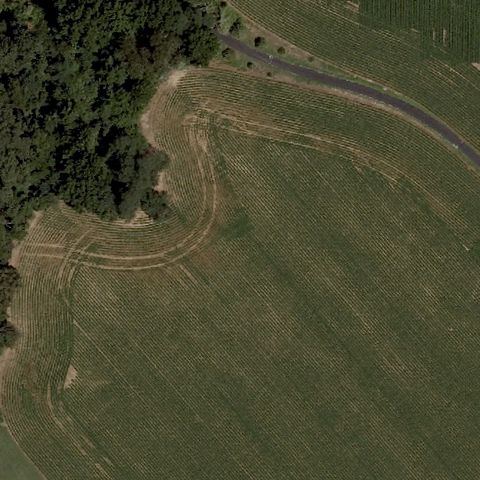
Center is an open mowed field with tire tracks and no pad or markings.
85% confidence
Verify on the map →
Is there really a pad here?
Data: FAA Airports (ArcGIS open layer) | Imagery: USGS NAIP (public domain) | AI vision: Claude Opus 4.8 | built 2026-07-05
A flag means a pad could not be confirmed from current imagery - never that a heliport is missing, fake, or mislocated. Help us check: vote on each one below.
Not visibleDOVER, DE
39.1115013890001, -75.505478333
Center is an open mowed field with tire tracks and no pad or markings.
 Not visible
DOVER, DE
39.1495566670001, -75.5049230559999
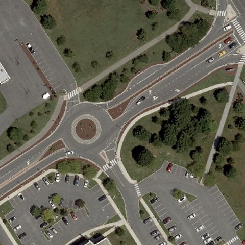
Center is a road roundabout with surrounding parking lots, no helipad markings.
 Not visible
DOVER, DE
39.1937972220001, -75.544061111
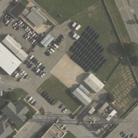
Center is an industrial yard with vehicles and equipment, no helipad markings visible.
 Not visible
FELTON, DE
39.021388889, -75.521666667
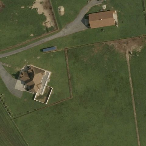
Center is a rural farm field with houses and no prepared pad or markings.
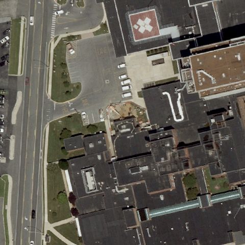 Off-center
DOVER, DE
39.1508666670001, -75.524311111
Clear painted H on a red rooftop pad upper-right of center at this hospital.
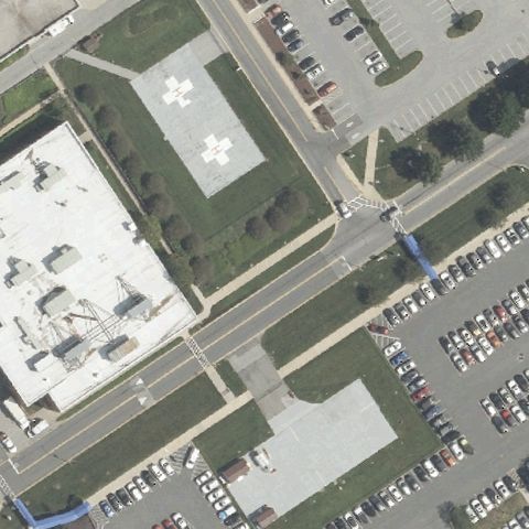 Off-center
NEWARK, DE
39.6872527780001, -75.666869444
Green square pad with white H marking near center-left of the hospital lot.
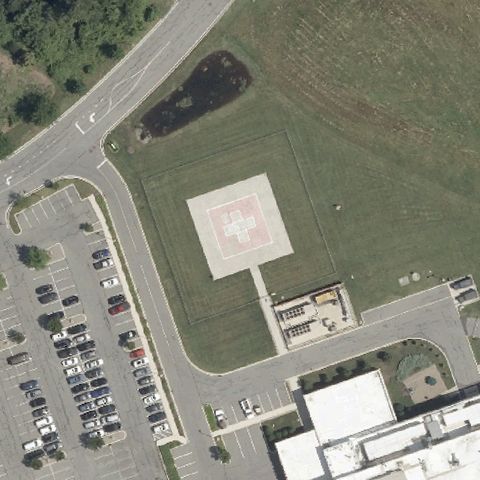 Off-center
MIDDLETOWN, DE
39.455658333, -75.6839666669999
Pinkish square pad with H marking on open ground right of center.
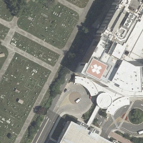 Off-center
WILMINGTON, DE
39.7511111110001, -75.5505555559999
Red rooftop pad with white H marking right of center on the hospital building.
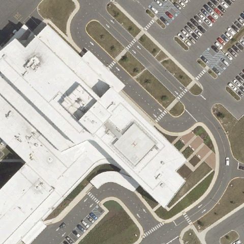 Uncertain
MILFORD, DE
38.886847222, -75.391133333
Center shows hospital rooftops and pavement with no clearly discernible pad markings.
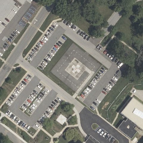 Confirmed
WILMINGTON, DE
39.7809055560001, -75.5557666669999
Large square prepared pad with faint marking centered amid parking lots at the children's hospital.
✓ Confirmed by AI vision with Claude Opus 4.8
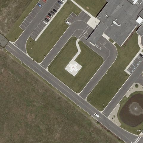 Confirmed
FRANKFORD, DE
38.5307388890001, -75.141058333
Small square concrete pad in a landscaped ground area near center of the medical campus.
✓ Confirmed by AI vision with Claude Opus 4.8