 Not visible
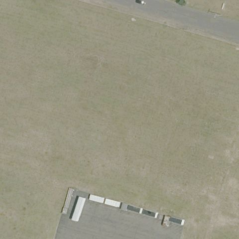
CT05 Kaman Aerospace Corp
BLOOMFIELD, CT
41.862042778, -72.699815278
Center is open grassy field with no pad or markings visible.
80% confidence
Verify on the map →
Is there really a pad here?
Data: FAA Airports (ArcGIS open layer) | Imagery: USGS NAIP (public domain) | AI vision: Claude Opus 4.8 | built 2026-07-05
A flag means a pad could not be confirmed from current imagery - never that a heliport is missing, fake, or mislocated. Help us check: vote on each one below.
Not visibleBLOOMFIELD, CT
41.862042778, -72.699815278
Center is open grassy field with no pad or markings visible.
 Not visible
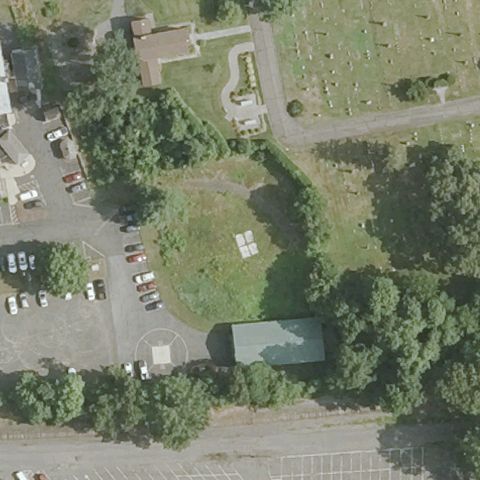
BRISTOL, CT
41.674211111, -72.8969194439999
Center is wooded lot and overgrown field with no pad.
 Not visible
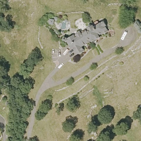
GLASTONBURY, CT
41.6423222220001, -72.563422222
Residential estate with lawns and driveway, no pad visible.
 Not visible
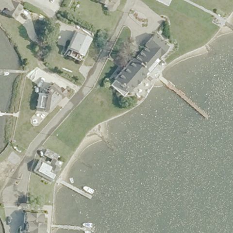
MYSTIC, CT
41.341891667, -71.9764499999999
Waterfront property and shoreline with no pad at center.
 Not visible
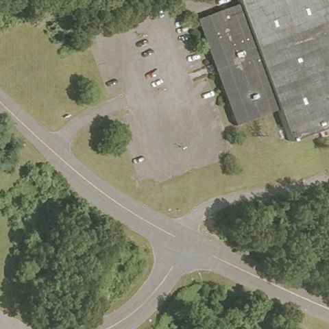
NANGATUCK, CT
41.5079638890001, -73.0380111109999
Center is a parking lot beside an industrial building, no markings.
 Not visible
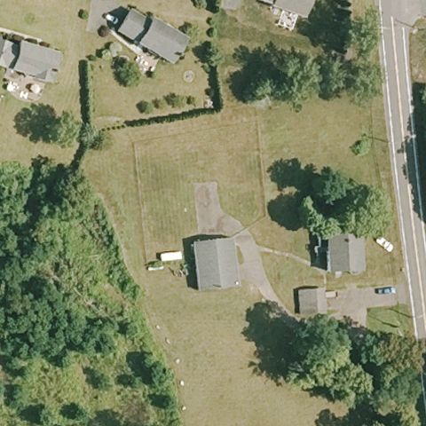
PORTLAND, CT
41.623158333, -72.601994444
Rural lawn and small buildings with no helipad markings.
 Not visible
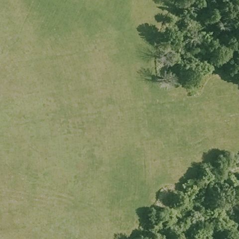
ROCKY HILL, CT
41.6584325000001, -72.647592222
Open mowed grass field with no pad or markings at center.
 Not visible
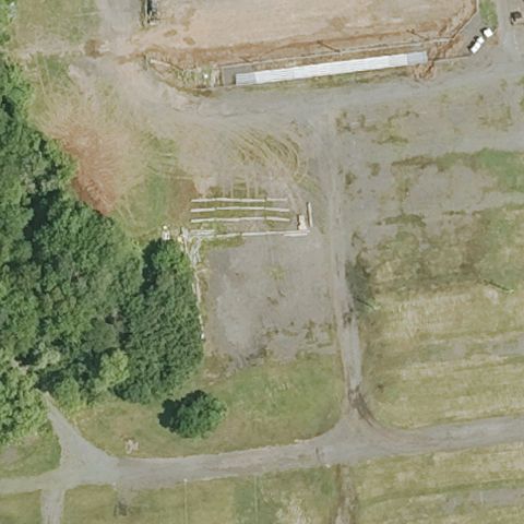
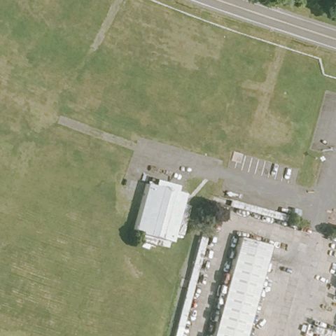
BERLIN, CT
41.6266305560001, -72.7271666669999
Fairgrounds dirt and field with no helipad markings at center.
 Not visible
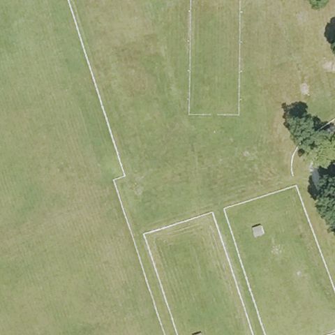
EAST GRANBY, CT
41.9433888890001, -72.7090638889999
Grass airfield area with no distinct touchdown pad at center.
 Not visible
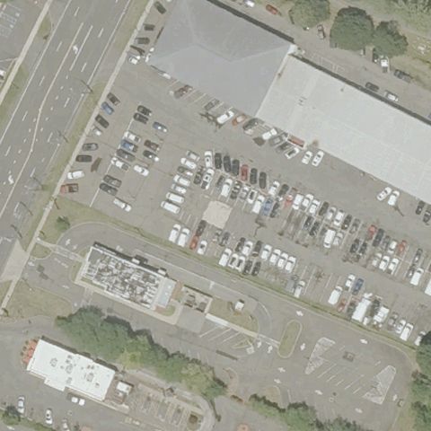
EAST HADDAM, CT
41.4329805560001, -72.394986111
Mowed fields with rectangular outlines but no helipad markings.
 Not visible
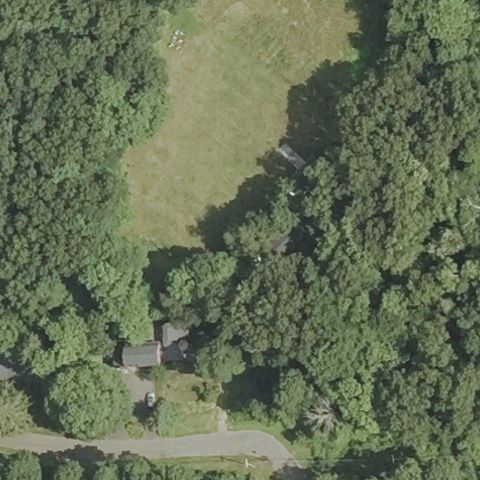
HAMDEN, CT
41.3706916670001, -72.917530556
Car dealership lot full of vehicles, no helipad at center.
 Not visible
HARTFORD, CT
41.7231555560001, -72.8601
Wooded clearing and field with no pad visible at center.
 Not visible
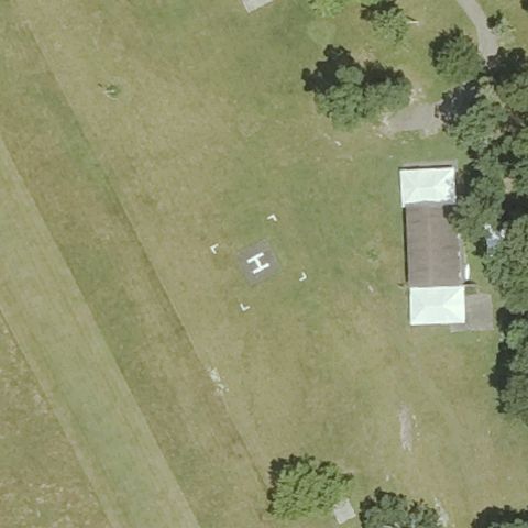
NEW MILFORD, CT
41.5676361110001, -73.460238889
Grass airstrip with light aircraft, no helipad marking at center.
 Not visible
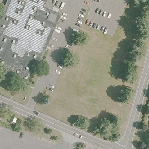
SOUTH WINDSOR, CT
41.8320416670001, -72.600905556
Open grass field beside building with no pad markings.
 Not visible
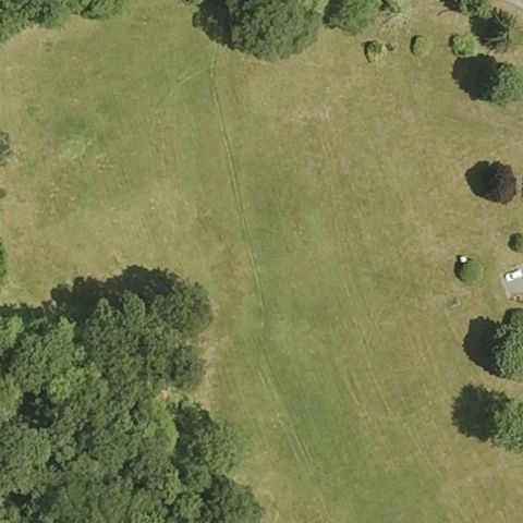
THOMASTON, CT
41.7237080560001, -73.115665556
Grass field and trees with no helipad markings at center.
 Not visible
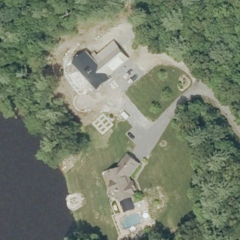
STAFFORD SPRINGS, CT
41.954388889, -72.3521666669999
Lakeside residential estate with driveways, no pad visible.
 Not visible
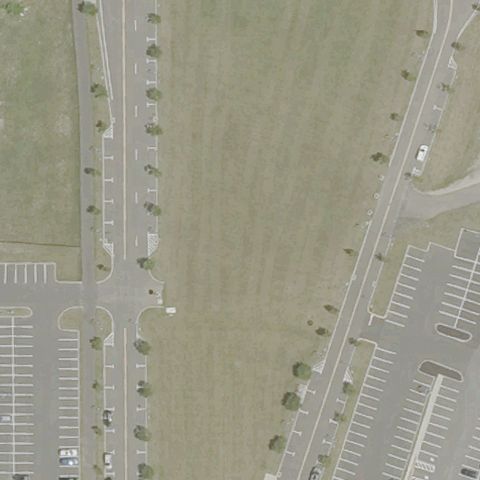
BRIDGEPORT, CT
41.176296, -73.1808569999999
Open field between parking lots with no helipad markings.
 Off-center
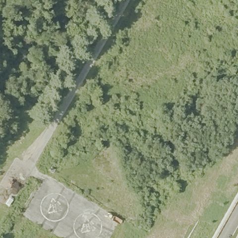
FAIRFIELD, CT
41.217318333, -73.2553930559999
Small circular pad in lower-left corner, not at the claimed center which is forest.
 Uncertain
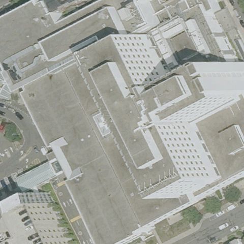
BRIDGEPORT, CT
41.2012194440001, -73.201569444
Generic medical-center rooftops with no distinct pad or H at center.
 Uncertain
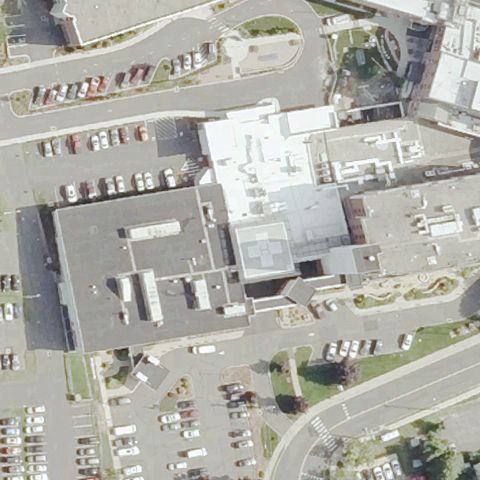
BRISTOL, CT
41.6762833330001, -72.9362305559999
Hospital buildings and parking with no clear helipad marking at center.
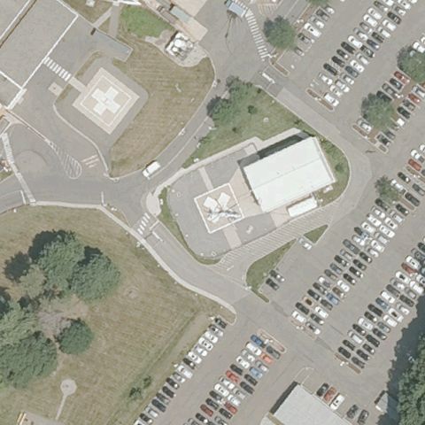 Uncertain
MERIDEN, CT
41.5479888890001, -72.800361111
Buildings and parking lots with no clear helipad at center.
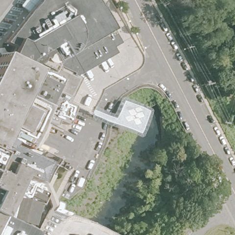 Uncertain
MIDDLETOWN, CT
41.554861111, -72.646216667
Building corner and lots with no distinct pad at center.
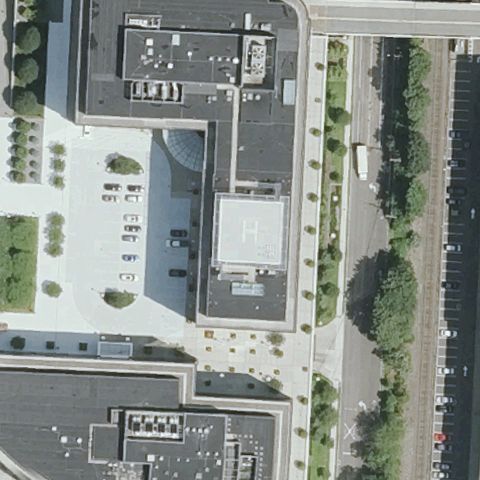 Uncertain
NORWALK, CT
41.1445000000001, -73.428533333
Building rooftop with faint markings but no clear H or touchdown pad.
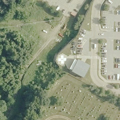 Uncertain
NORWICH, CT
41.5423555560001, -72.09095
Brushy slope and parking with no pad visible at center.
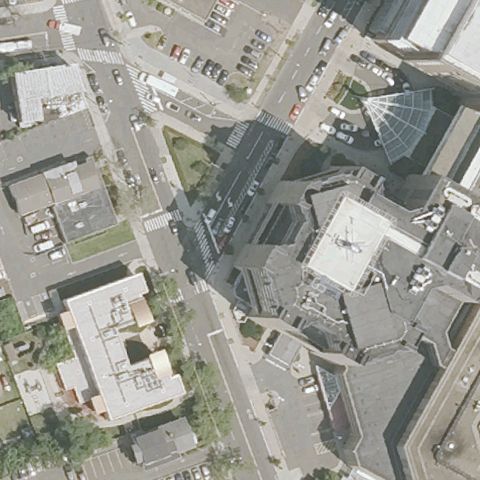 Uncertain
NEW HAVEN, CT
41.30445, -72.936730556
Dense urban hospital block with no clearly identifiable pad at center.
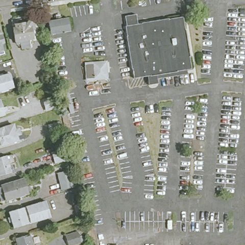 Uncertain
NORWALK, CT
41.1096666670001, -73.421775
Buildings and parking with no clear helipad pad at center.
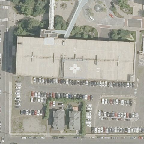 Confirmed
BRIDGEPORT, CT
41.188380556, -73.166747222
Painted white H on the hospital rooftop near image center.
✓ Confirmed by AI vision with Claude Opus 4.8
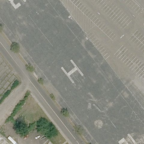 Confirmed
BRIDGEPORT, CT
41.1610138890001, -73.2049249999999
Large painted H on paved area at the image center.
✓ Confirmed by AI vision with Claude Opus 4.8
 Confirmed
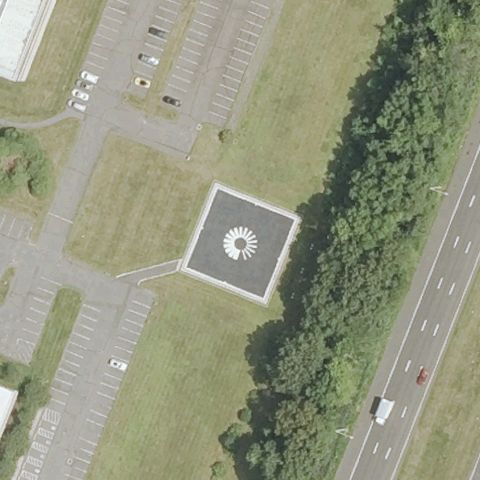
FARMINGTON, CT
41.7089500000001, -72.8020999999999
Distinct square pad with circular compass marking at the center.
✓ Confirmed by AI vision with Claude Opus 4.8
 Confirmed
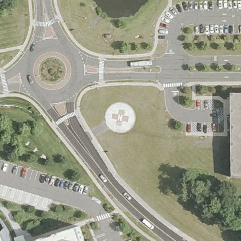
FARMINGTON, CT
41.7332805560001, -72.793111111
Circular marked pad with compass design near center within road island.
✓ Confirmed by AI vision with Claude Opus 4.8
 Confirmed
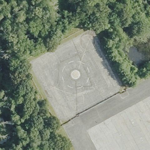
MASHANTUCKET, CT
41.4855416670001, -71.9731138889999
Large prepared pad with circular touchdown marking at the center.
✓ Confirmed by AI vision with Claude Opus 4.8
 Confirmed
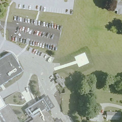
SHARON, CT
41.8812194440001, -73.480977778
Faint white square pad shape on lawn near center, marking unclear.
✓ Confirmed by AI vision with Claude Opus 4.8
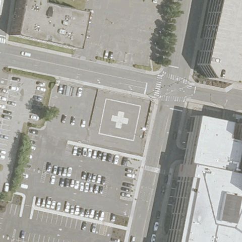 Confirmed
WATERBURY, CT
41.553355556, -73.0376277779999
Painted H on a distinct colored pad at the center.
✓ Confirmed by AI vision with Claude Opus 4.8
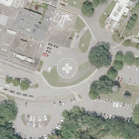 Confirmed
WILLIMANTIC, CT
41.716811111, -72.2255611109999
Circular touchdown pad with H marking in courtyard at center.
✓ Confirmed by AI vision with Claude Opus 4.8
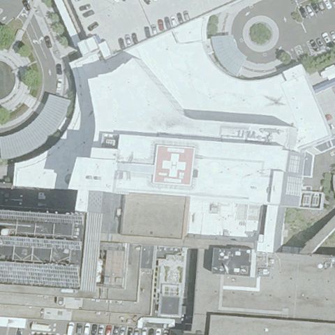 Confirmed
DANBURY, CT
41.4053083330001, -73.445288889
Red rooftop pad with white H marking near center.
✓ Confirmed by AI vision with Claude Opus 4.8
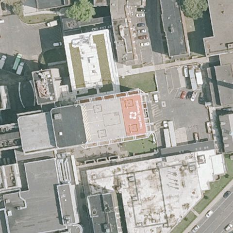 Confirmed
HARTFORD, CT
41.754597222, -72.678638889
Orange/red rooftop touchdown pad at the center.
✓ Confirmed by AI vision with Claude Opus 4.8
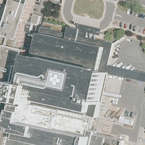 Confirmed
HARTFORD, CT
41.7749277780001, -72.697786111
Rooftop pad with white H marking at the center.
✓ Confirmed by AI vision with Claude Opus 4.8
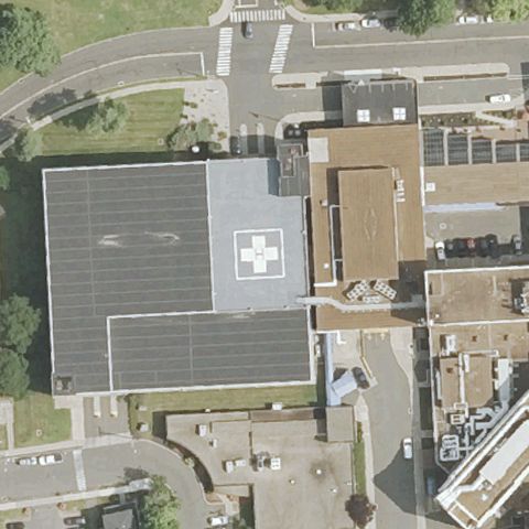 Confirmed
NEW BRITAIN, CT
41.66155, -72.787841667
Red rooftop pad with white H marking at the center.
✓ Confirmed by AI vision with Claude Opus 4.8
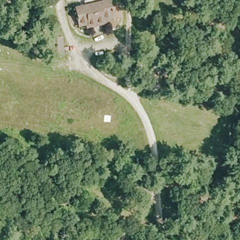 Confirmed
STERLING, CT
41.7426305560001, -71.8124999999999
Small white square marker on grass near center, identity uncertain.
✓ Confirmed by AI vision with Claude Opus 4.8
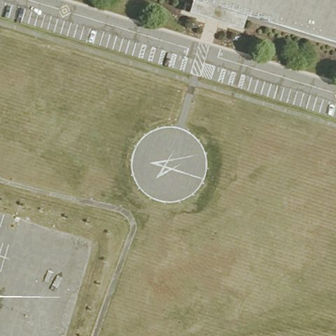 Confirmed
STRATFORD, CT
41.247333333, -73.097761111
Large circular marked landing pad at the center of the image.
✓ Confirmed by AI vision with Claude Opus 4.8
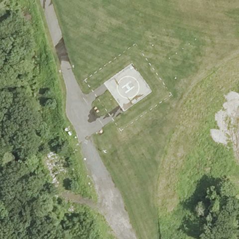 Confirmed
WEST HARTFORD, CT
41.789444444, -72.799166667
Square pad with white H marking at the center.
✓ Confirmed by AI vision with Claude Opus 4.8
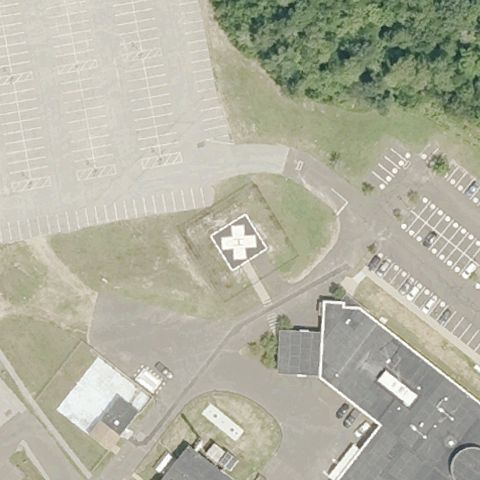 Confirmed
HARTFORD, CT
41.9805777780001, -72.391466667
Square pad with white circular touchdown marking at center.
✓ Confirmed by AI vision with Claude Opus 4.8
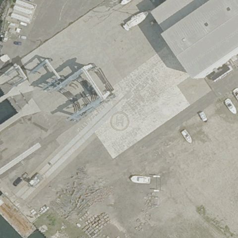 Confirmed
BRIDGEPORT, CT
41.17263, -73.1768279999999
Faint circular marking on boatyard pavement near center, uncertain.
✓ Confirmed by AI vision with Claude Opus 4.8