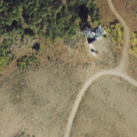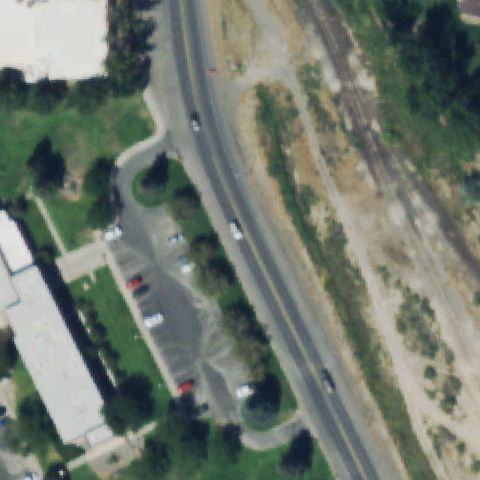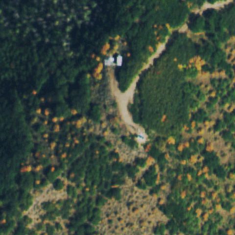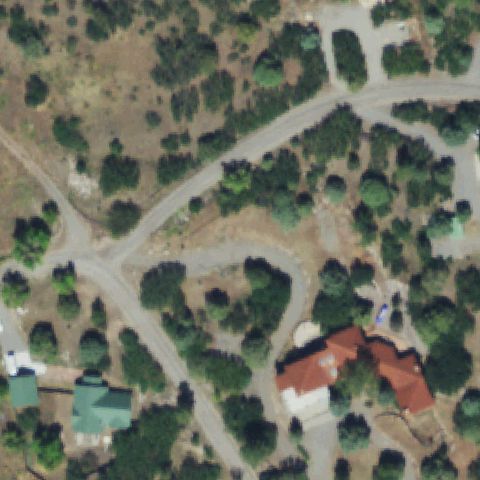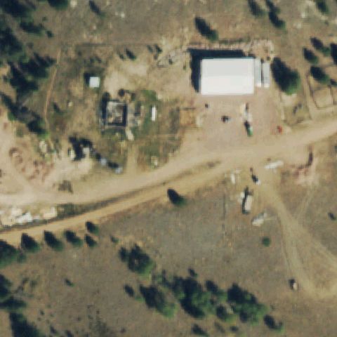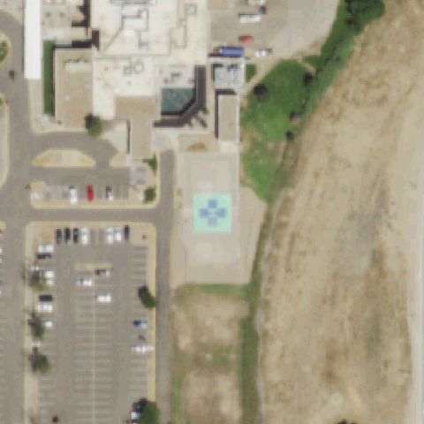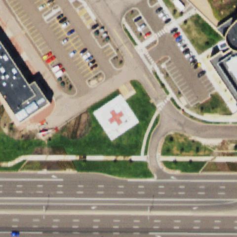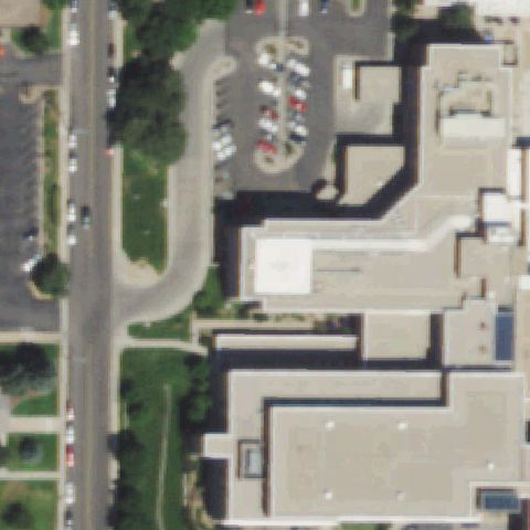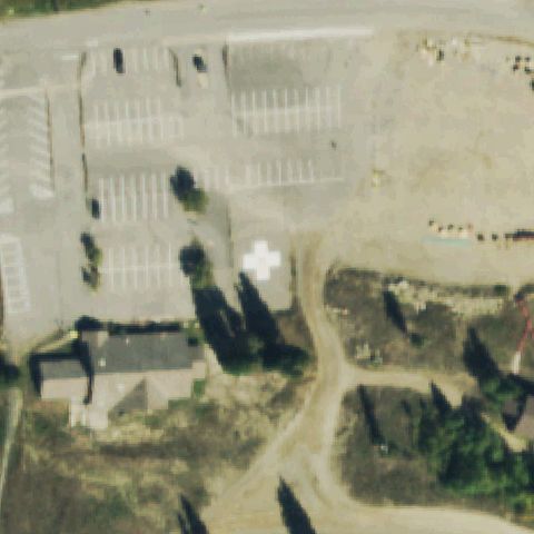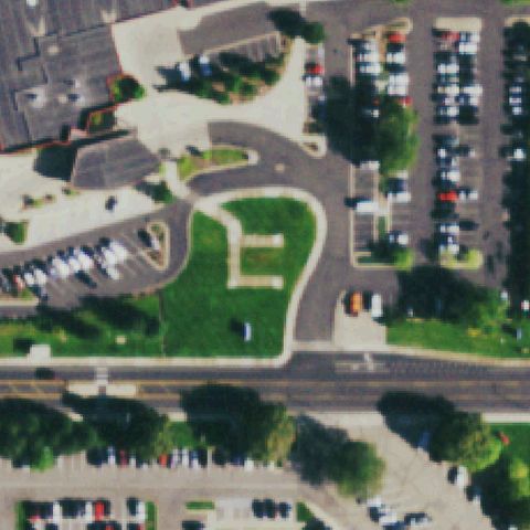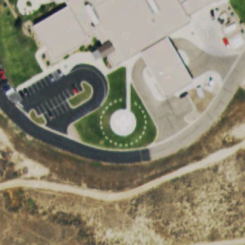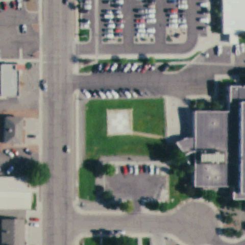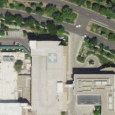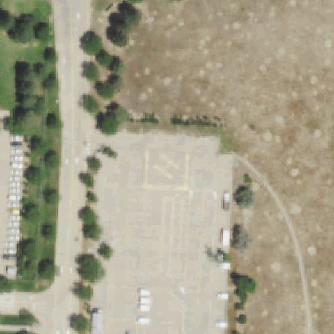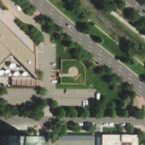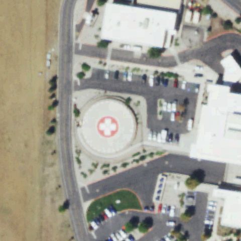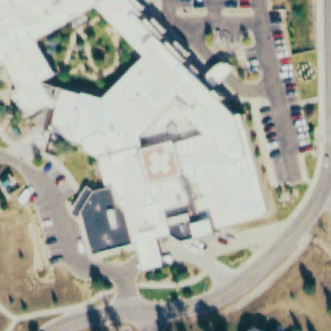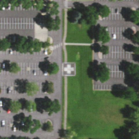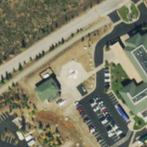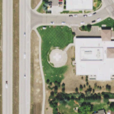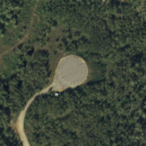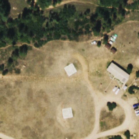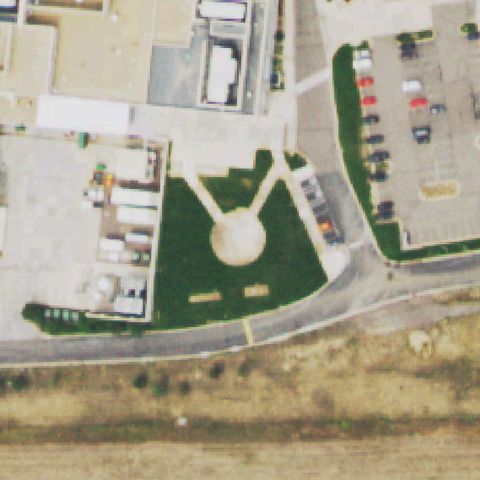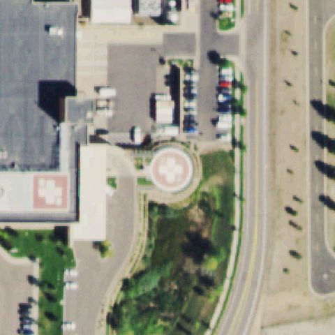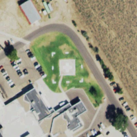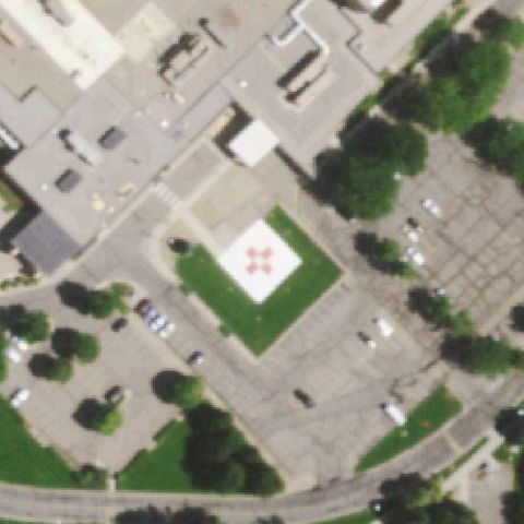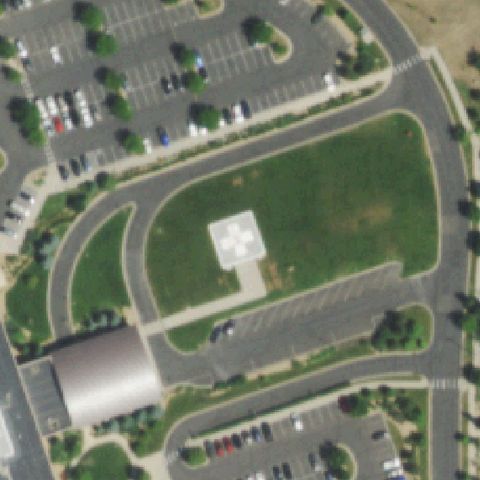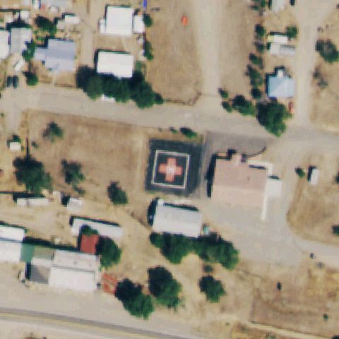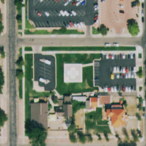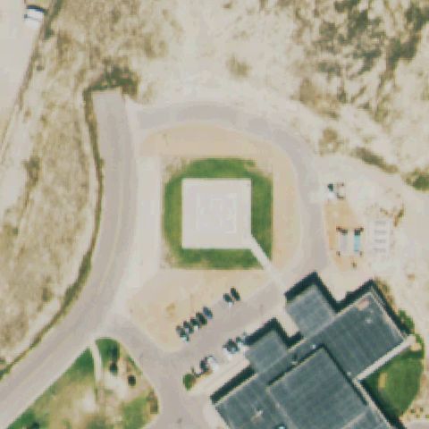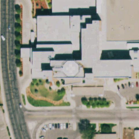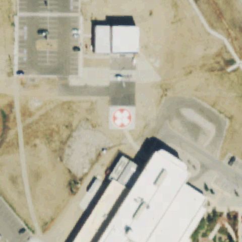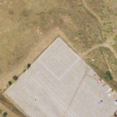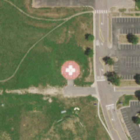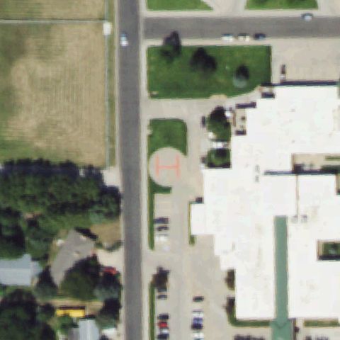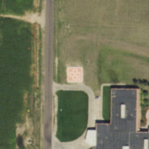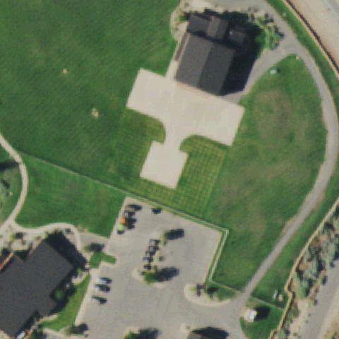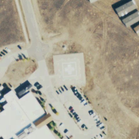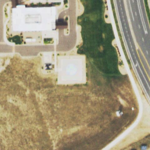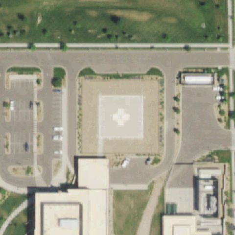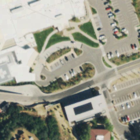
Not visibleCO50 Aspen Valley Hospital
ASPEN, CO
39.189930556, -106.839041667
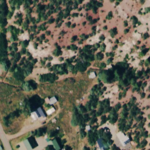
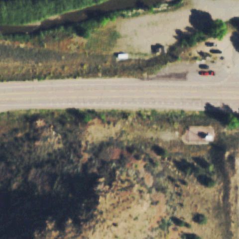
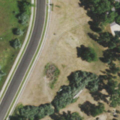
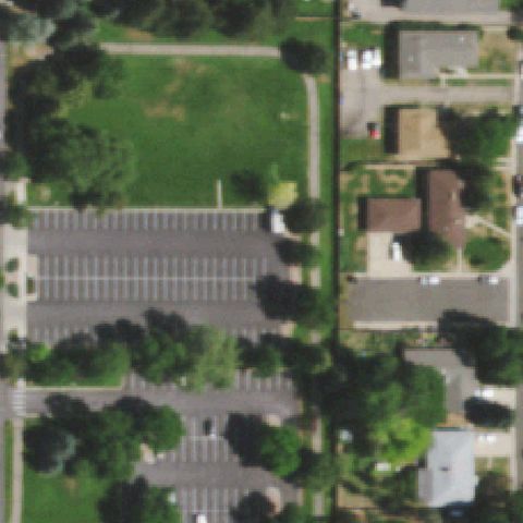
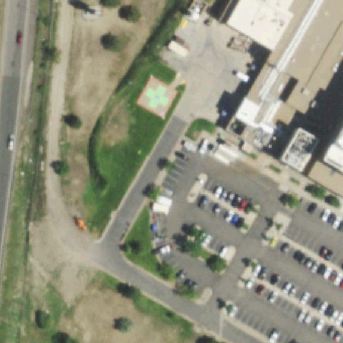
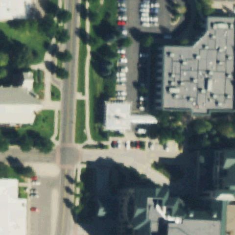
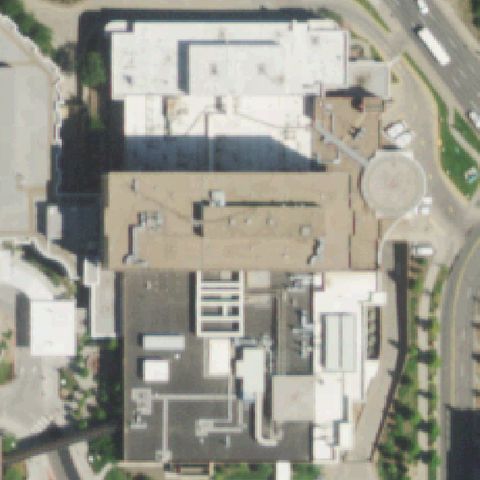
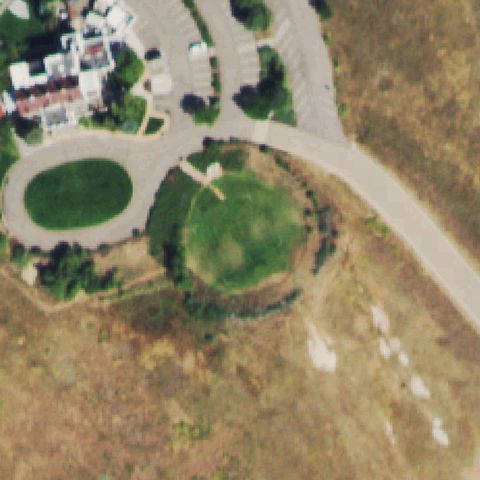
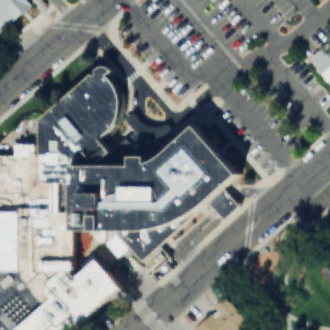
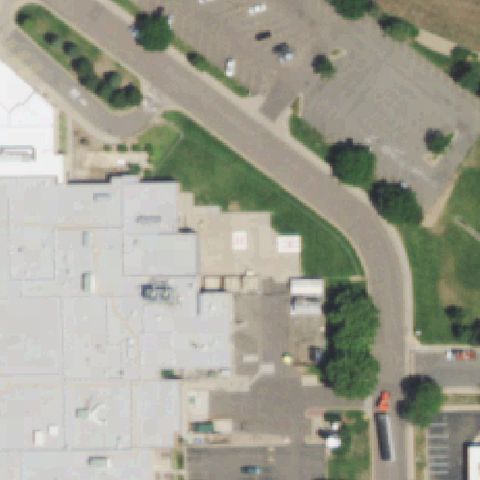
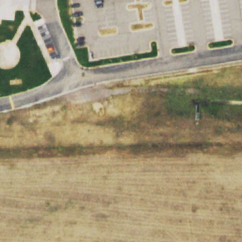
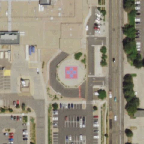
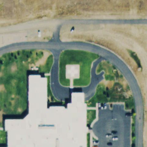
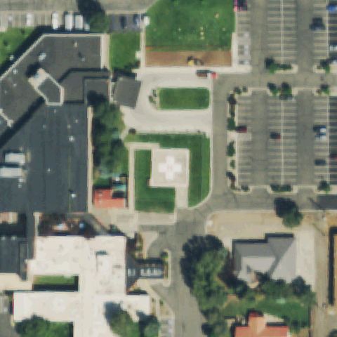
Image center is parking lot, landscaping and road with no visible landing pad or markings.
Data: FAA Airports (ArcGIS open layer) | Imagery: USGS NAIP (public domain) | AI vision: Claude Opus 4.8 | built 2026-07-05
A flag means a pad could not be confirmed from current imagery - never that a heliport is missing, fake, or mislocated. Help us check: vote on each one below.
Not visibleASPEN, CO
39.189930556, -106.839041667
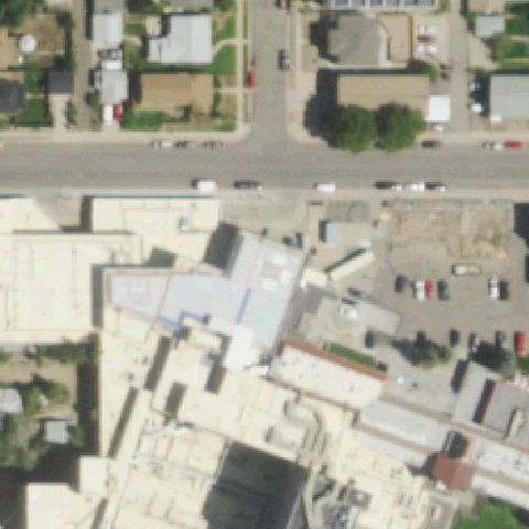
Image center is parking lot, landscaping and road with no visible landing pad or markings.
Not visibleBOULDER, CO
40.0536191670001, -105.359642222
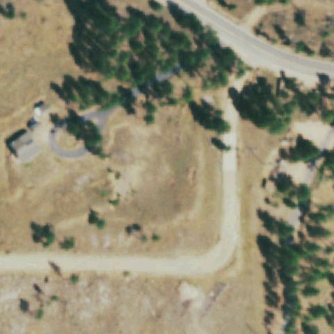
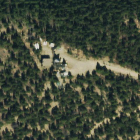
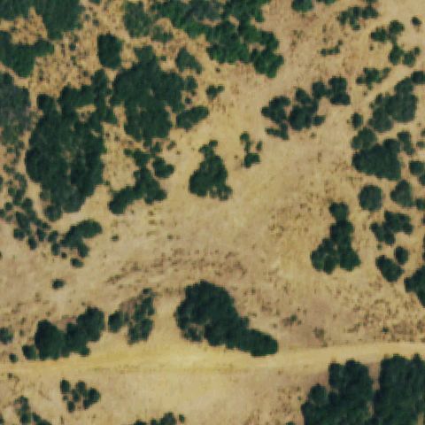
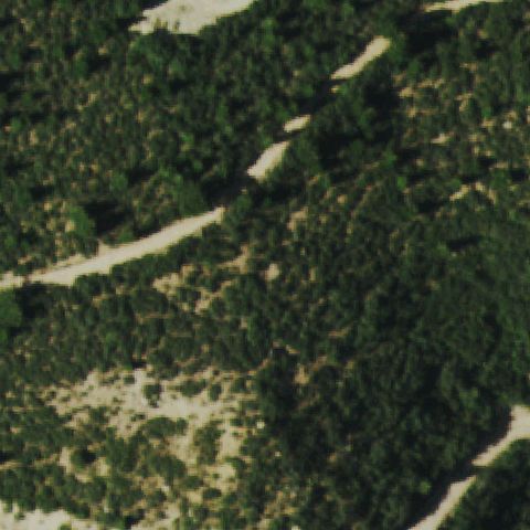
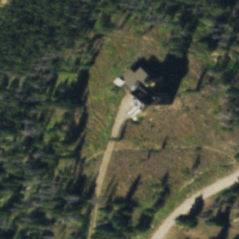
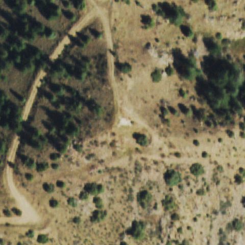
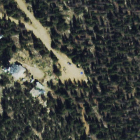
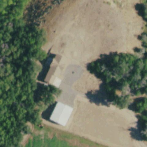
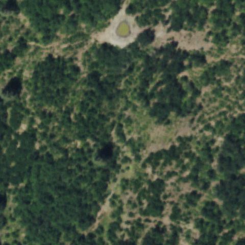
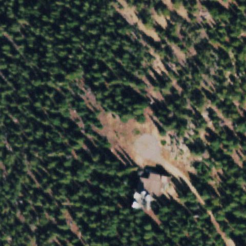
Center is a cleared dirt clearing among trees with no pad or markings.
Not visibleBRANSON, CO
37.019189167, -103.885519167
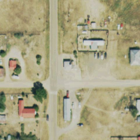
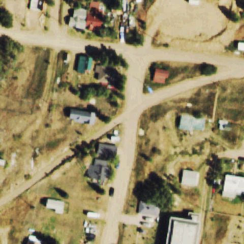
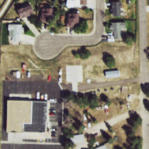
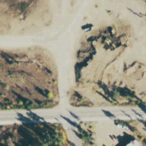
Center is a rural town road intersection with no landing pad visible.
Not visibleCALHAN, CO
39.0424905560001, -104.364687778
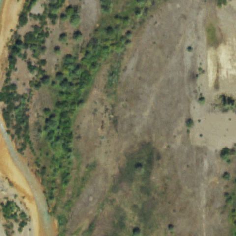
Blurry tan terrain with no pad or markings at center.
Not visibleCANON CITY, CO
38.4966694440001, -105.318763889
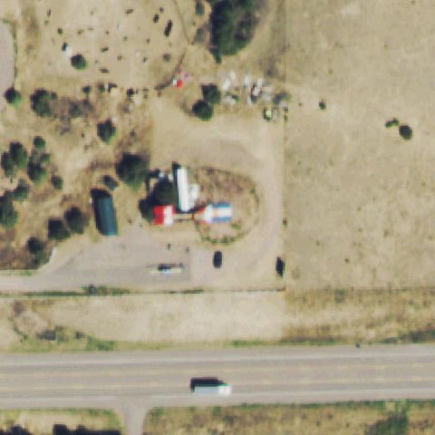
Rural property and dirt yard with no helipad markings at center.
Not visibleCANON CITY, CO
38.453902778, -105.286544444
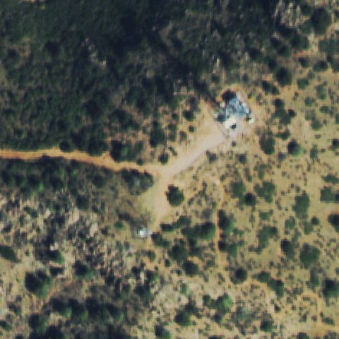
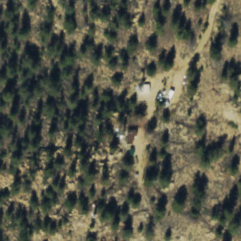
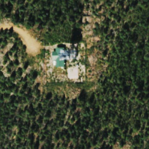
Forested terrain with a small structure but no landing pad visible.
Not visibleCORTEZ, CO
37.249995278, -108.500644722
Open scrubland thumbnail with no pad or markings.
Not visibleDELTA, CO
38.703611111, -108.063163889
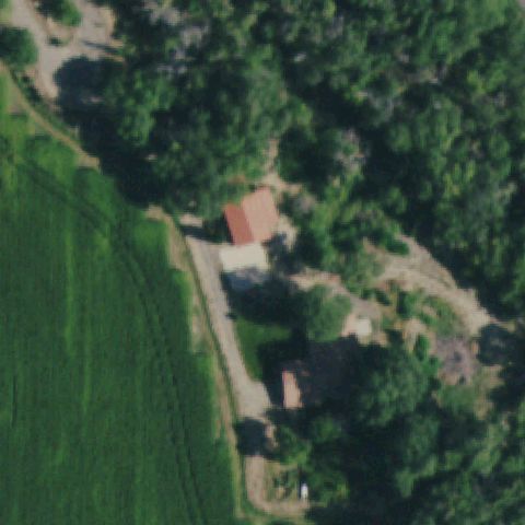
Forested farm property with buildings and no landing pad at center.
Not visibleEGNAR, CO
37.890380556, -108.8344
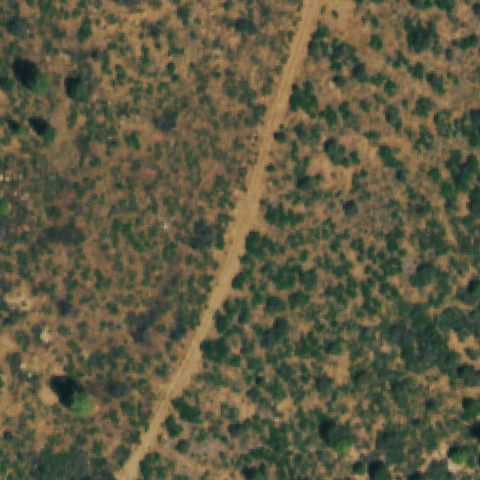
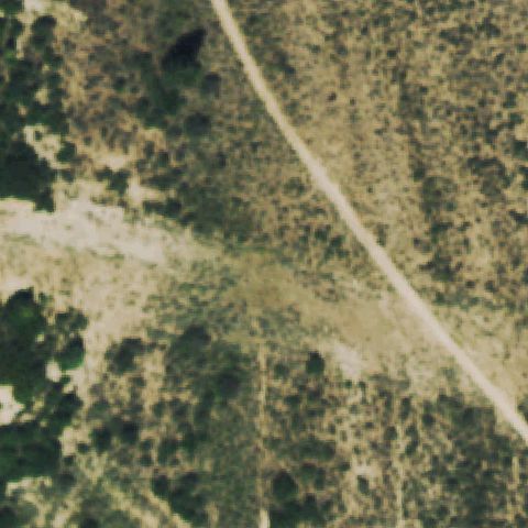
Forest and scrub with a dirt road and no landing pad at center.
Not visibleFAIRPLAY, CO
39.2163791670001, -106.086685556
Forested mountain terrain with no landing pad visible.
Not visibleFIRESTONE, CO
40.112755556, -104.951975
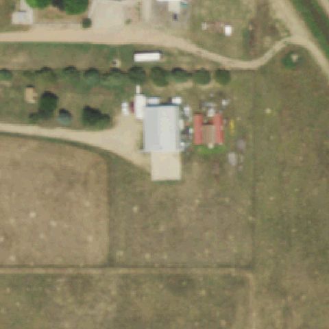
Farm property with buildings and open field but no helipad at center.
Not visibleGLENWOOD SPRINGS, CO
39.542927778, -107.297661111
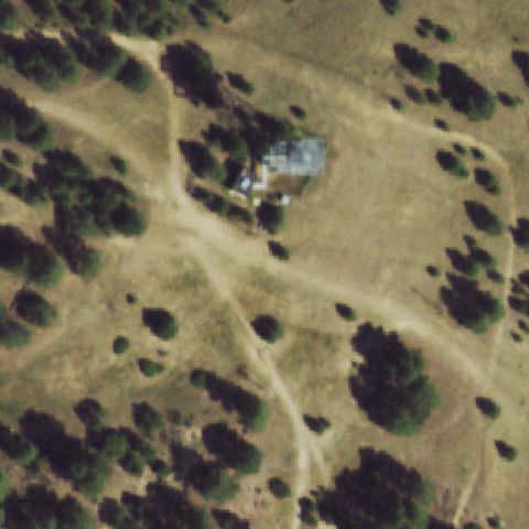
Forested property with a house and dirt roads but no landing pad.
Not visibleGLENWOOD SPRINGS, CO
39.4272083330001, -107.380319444
Cleared forested mountain slope with no visible helipad.
Not visibleCARR, CO
40.6732138890001, -104.919625
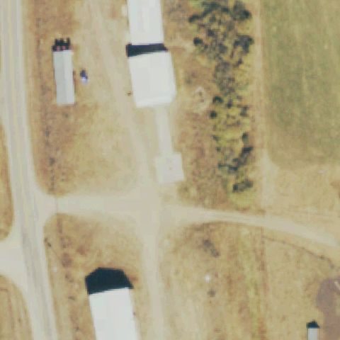
Rural property with a house and metal building but no landing pad.
Not visibleCASTLE ROCK, CO
39.3525000000001, -105.006666667
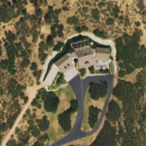
Forested estate with house and driveway but no helipad markings.
Not visibleCASTLE ROCK, CO
39.344458333, -104.841672222
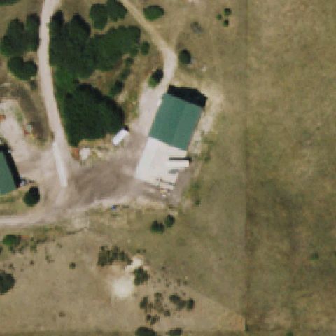
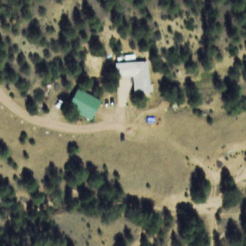
Rural property with a green-roof barn and no landing pad at center.
Not visibleCIMARRON, CO
38.4499872220001, -107.650613889
Scrubland and forest with no landing pad visible at center.
Not visibleCIMARRON, CO
38.396772222, -107.430294444
Forested property with a house but no helipad markings at center.
Not visibleCRAIG, CO
40.524166667, -107.555555556
Rural property with light building roofs and no helipad markings.
Not visibleDELTA, CO
38.7999836110001, -108.167296667
Blurry rocky terrain with no pad or markings visible.
Not visibleDILLON/SILVERTHORNE, CO
39.831547222, -106.067786111
Open dirt yard with vehicles and brush; no pad or markings visible at center.
Not visibleDOVE CREEK, CO
37.5999905560001, -108.633984722
Center is open scrub and trees with no prepared landing area.
Not visibleDURANGO, CO
37.203058056, -107.867843333
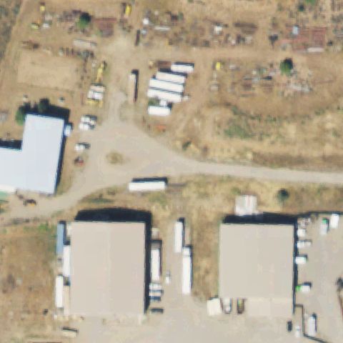
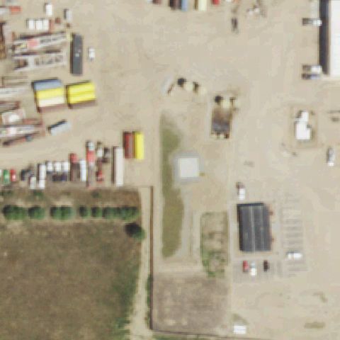
Industrial yard with trailers and buildings; no helipad marking at center.
Not visibleFORT COLLINS, CO
40.583585, -106.98533
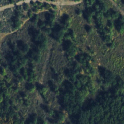
Center is forested hillside with no landing area.
Not visibleFRANKTOWN, CO
39.429432778, -104.658860556
Open grassland with trees and dirt tracks; no pad at center.
Not visibleGRANITE, CO
39.0861036110001, -106.268355833
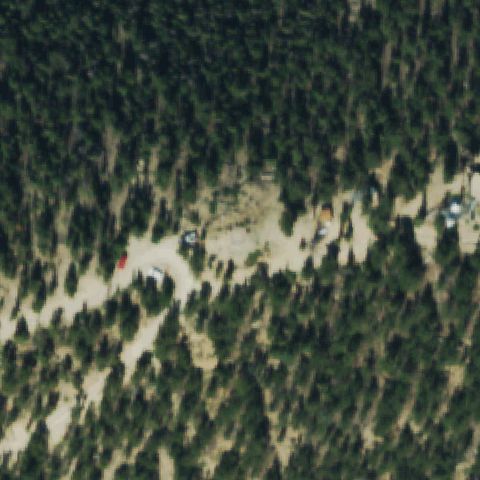
Forested terrain with a dirt clearing; no helipad marking at center.
Not visibleGUFFEY, CO
38.6245666670001, -105.516016667
Rural property with buildings and open ground; no pad markings at center.
Not visibleHESPERUS, CO
37.3499975, -108.150632222
Forested terrain with a small clearing; no pad visible at center.
Not visibleKIOWA, CO
39.343876111, -104.465244167
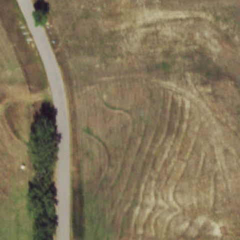
Open agricultural field with tracks; no helipad at center.
Not visibleKREMMLING, CO
40.0027777780001, -106.452222222
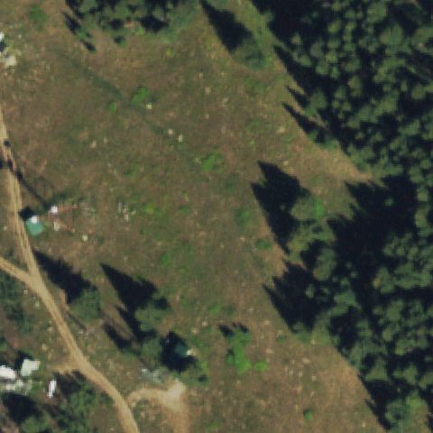
Open meadow with a small structure; no pad markings at center.
Not visibleMONTROSE, CO
38.4660975, -107.873395833
Roadway and small parking lot at center; no helipad markings.
Not visibleOAK CREEK, CO
40.240747222, -106.912683333
Forested terrain with dirt tracks; no pad at center.
Not visibleOURAY, CO
38.084714444, -107.700893056
Wooded residential area with roads; no pad visible at center.
Not visiblePALISADE, CO
39.0905363890001, -108.221191944
Open scrubland with no prepared landing area at center.
Not visiblePARACHUTE, CO
39.4166447220001, -108.1006325
Rugged hillside terrain; no pad or markings at center.
Not visiblePARSHALL, CO
40.133318333, -106.167246389
Forested mountainside with no landing area at center.
Not visibleRANGELY, CO
40.1166366670001, -108.950666667
Open scrub terrain with no pad or markings at center.
Not visibleRANGELY, CO
39.5833080560001, -108.950661111
Dense forest with trails; no helipad at center.
Not visibleRICO, CO
37.6833283330001, -108.017294444
Dense forest canopy with no landing area at center.
Not visibleRIFLE, CO
39.540852778, -107.764394444
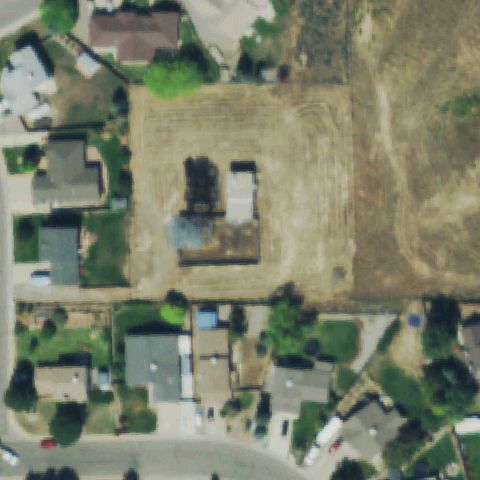
Vacant lot under construction in a residential area; no pad markings at center.
Not visibleRIO BLANCO, CO
39.699976667, -107.950628333
Brushy terrain with faint trails; no helipad at center.
Not visibleSILVERTON, CO
37.7999966670001, -107.667283889
Center is open scrubland and dirt with vegetation, no prepared pad or markings.
Not visibleSILVERTON, CO
37.8527777780001, -107.57525
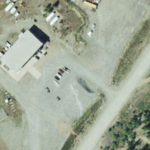
Gravel yard with a building and parked vehicles but no marked landing pad at center.
Not visibleSTEAMBOAT SPRINGS, CO
40.4499786110001, -106.733934722
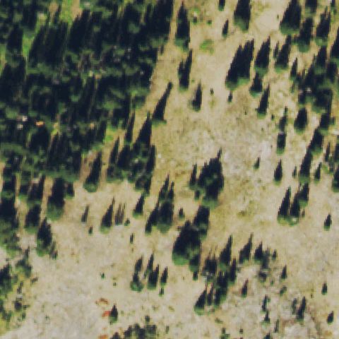
Center is forested mountain slope with scattered trees, no pad visible.
Not visibleSTEAMBOAT SPRINGS, CO
40.555602778, -106.844144444
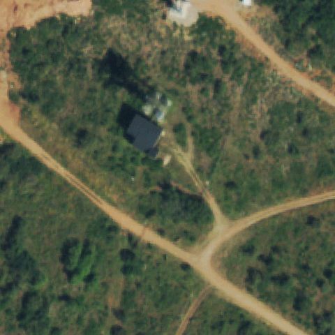
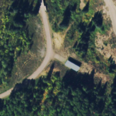
Forested area with a road junction and small building, no landing pad at center.
Not visibleVAIL, CO
39.6204277780001, -106.393258333
Forest clearing with equipment and a dirt road, no marked landing pad at center.
Not visibleVICTOR, CO
38.712580556, -105.142069444
Rural town with road junction and scattered houses, no pad at center.
Not visibleWALDEN, CO
40.4499811110001, -106.20058
Blurry plowed field, no prepared pad or markings visible.
Not visibleWALDEN, CO
40.5679361110001, -106.060719444
Rural property with sheds and dirt lots, no marked landing pad at center.
Not visibleJOHNSTOWN, CO
40.338083333, -104.903975
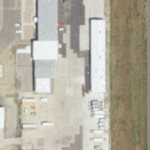
Industrial gravel yard with buildings and equipment, no marked pad at center.
Not visibleMATHESON, CO
39.1769322220001, -103.879954444
Farm field with small structures and tractor tracks, no landing pad.
Not visibleMEAD, CO
40.2055394440001, -104.975533333
Warehouse with parking lot, no marked landing pad at center.
Not visibleMEEKER, CO
40.1499730560001, -107.867295556
Dense forest fills the frame, no pad visible.
Not visibleMORRISON, CO
39.669154167, -105.219711667
Scrubland with scattered trees and dirt tracks, no prepared pad at center.
Not visibleMOUNT PRINCETON, CO
38.7454111110001, -106.200452778
Forest with a faint clearing, no clear marked pad at center.
Not visibleNORWOOD, CO
38.0999997220001, -108.283916389
Dense forest fills the frame, no pad visible.
Not visibleNORWOOD, CO
38.299988333, -108.183964444
Dense forest fills the frame, no pad visible.
Not visiblePLACERVILLE, CO
38.016658611, -108.050625
Rural wooded area with scattered houses, no landing pad at center.
Not visibleTARRYALL, CO
39.0494583330001, -105.512383333
Forest with a dirt clearing, no clearly marked landing pad at center.
Not visibleTELLURIDE, CO
37.9383916670001, -107.848955556
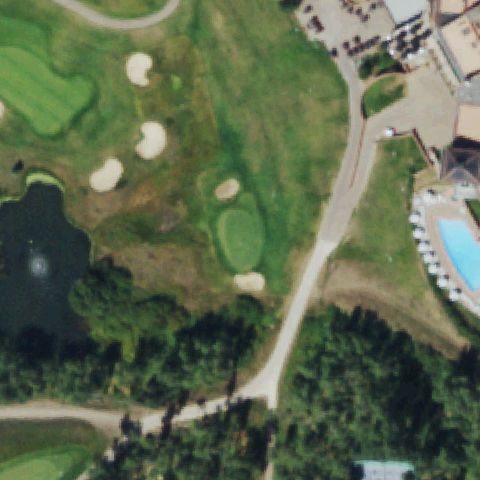
Golf course and resort grounds, no marked landing pad at center.
Not visibleTEXAS CREEK, CO
38.4777777780001, -105.521111111
Scrubland and forest, no prepared pad or markings visible.
Not visibleTEXAS CREEK, CO
38.409444444, -105.585277778
Road with a rural lot and scrub, no landing pad at center.
Not visibleWHITEWATER, CO
38.8999830560001, -108.483978056
Open scrubland with scattered vegetation, no prepared pad at center.
Not visibleWOLCOTT, CO
39.715277778, -106.783055556
Open field with a small structure offset to the left, no pad at center.
Not visibleWOLF CREEK, CO
37.683330556, -107.767286389
Forested mountain slope fills the frame, no pad visible.
Not visibleWOODLAND PARK, CO
38.985152778, -104.916905556
Forest with a small building and clearing near center but no marked landing pad.
Not visibleFORT COLLINS, CO
40.636388889, -105.050833333
The center is open field and roadside vegetation with no pad.
Not visibleCOLORADO SPRINGS, CO
38.987594444, -104.810102778
The center is bare dirt/field with no landing area, imagery likely predates construction.
Not visibleFORT COLLINS, CO
40.5723, -105.05364
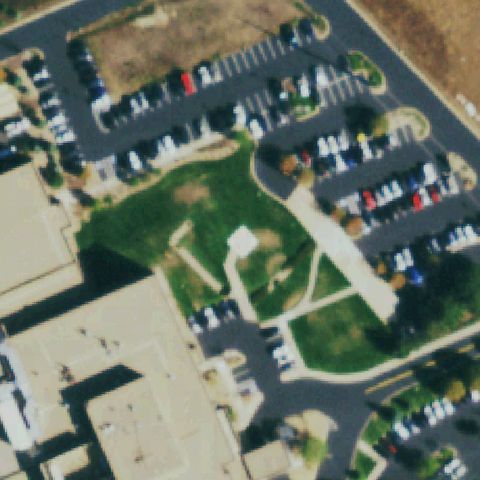
A parking lot and lawn occupy the center with no pad markings.
Not visibleCOTOPAXI, CO
38.6325000000001, -105.784444444
Ranch buildings and dirt roads at center with no helipad markings.
Not visibleOLATHE, CO
38.613733333, -108.085788889
The center is a bare plowed field with no pad visible.
Off-centerAURORA, CO
39.727333333, -104.826697222
Teal pad with a blue cross marking is visible just below and right of center.
Off-centerCOLORADO SPRINGS, CO
38.9663583330001, -104.756011111
White ground pad with a red cross marking sits just below and left of center.
Off-centerDENVER, CO
39.671061111, -104.976205556
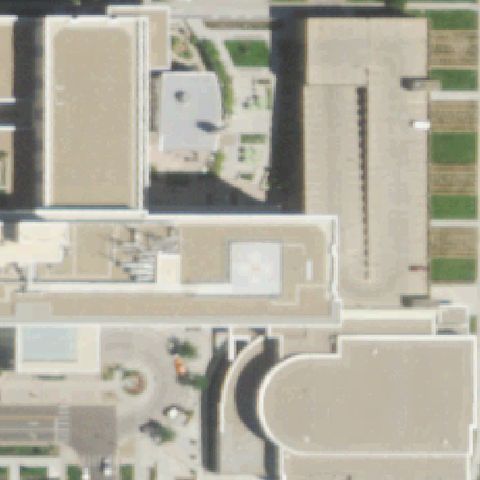
Rooftop pad with a faint cross marking sits just below center.
Off-centerDENVER, CO
39.737486667, -104.992203889
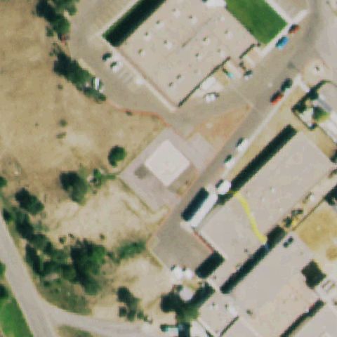
Rooftop pad with a yellow cross marking is visible below center.
Off-centerBERTHOUD FALLS, CO
39.7696611110001, -105.850075
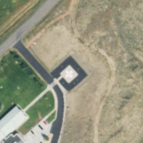
Circular pad with a white cross marking is visible slightly right of center.
Off-centerBRUSH, CO
40.256211111, -103.649880556
White pad with a painted H marking is visible left of center in a grassy lot.
Off-centerEMPIRE, CO
39.769694444, -105.850083333
A marked circular pad is visible on the paved area right of center.
Off-centerENGLEWOOD, CO
39.5945333330001, -104.823513889
A marked light pad with a cross/number is visible upper-left of center in a landscaped courtyard.
Off-centerFORT MORGAN, CO
40.2606166670001, -103.79555
A rooftop pad with a red cross/H marking is visible left of center.
Off-centerGRAND JUNCTION, CO
39.0898666670001, -108.562783333
A rooftop pad with a white cross/H marking is visible left of center.
Off-centerGREELEY, CO
40.414847222, -104.710847222
A light rooftop pad area is visible below center on the hospital roof.
Off-centerKEYSTONE, CO
39.604938889, -105.952366667
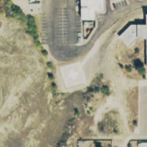
A pad with a white cross/H marking is visible just left of center near a parking lot.
Off-centerLONGMONT, CO
40.1816166670001, -105.124744444
A clear H marking sits in the grass below-left of center.
Off-centerRANGELY, CO
40.0781666670001, -108.807005556
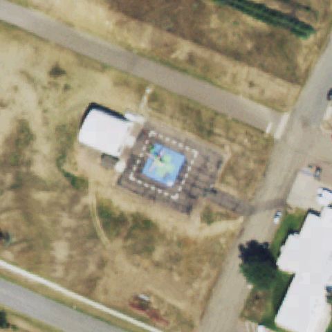
A circular pad with dotted perimeter markers is visible just below-left of center.
Off-centerTHORNTON, CO
39.8630458330001, -104.986440278
A marked green helipad with cross/H marking is present but sits left of the image center.
Off-centerMEEKER, CO
40.0468416670001, -107.882441667
A circular pad with a perimeter marking is present but offset left of center.
Off-centerSTERLING, CO
40.611591667, -103.221152778
A square pad with a cross marking is present but offset left of the image center.
Off-centerAURORA, CO
39.6033333330001, -104.711666667
A circular concrete pad with a cross marking is visible left of center near the building.
Off-centerHOLYOKE, CO
40.579166667, -102.289166667
A small faint white square pad is visible mid-image adjacent to the hospital, off center.
Off-centerLONGMONT, CO
40.1624697780001, -105.059280444
A faint circular marking on pavement is visible left of center near the hospital.
UncertainCARBONDALE, CO
39.4690833330001, -107.135722222
Rural ranch with a round light feature that lacks any pad markings at center.
UncertainDENVER, CO
39.7478, -104.967919444
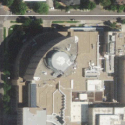
Center shows a round domed building structure with no distinct helipad markings.
UncertainDENVER, CO
40.146333333, -104.8875
Industrial yard with a light slab near center but no clear helipad markings.
UncertainELBERT, CO
39.0913583330001, -104.543905556
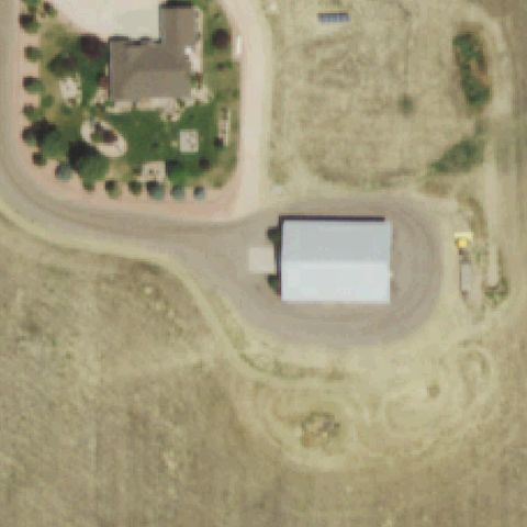
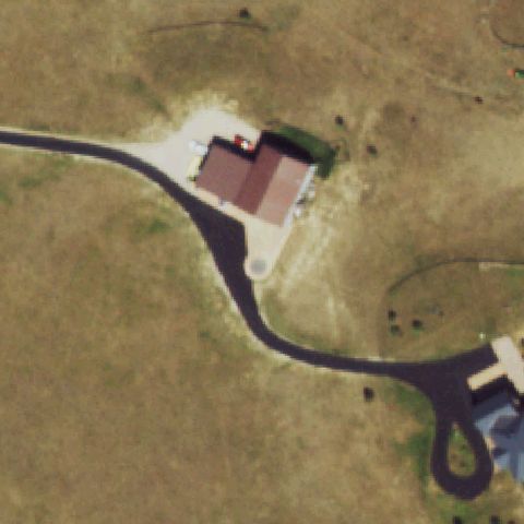
Rural house with a circular driveway turnaround but no helipad markings at center.
UncertainGLENWOOD SPRINGS, CO
39.5330638890001, -107.322447222
White building rooftop at center shows no clear helipad markings.
UncertainDENVER, CO
39.747747222, -104.967608333
Center shows a round domed building structure with no distinct helipad markings.
UncertainDENVER, CO
39.72815, -104.991011111
Hospital rooftops with mechanical equipment but no clear pad marking at the center.
UncertainELIZABETH, CO
39.362375, -104.599702778
A small light concrete pad sits near center but shows no helipad markings.
UncertainEMPIRE, CO
39.7947500000001, -105.763822222
High mountain gravel area with scattered structures and no pad markings at center.
UncertainENGLEWOOD, CO
39.654725, -104.980588889
Dense medical buildings at center with no distinct pad marking visible.
UncertainFORT COLLINS, CO
40.585030556, -105.040041667
A large gravel lot at center with faint marks but no clear helipad.
UncertainGOLDEN, CO
39.734658, -105.205047
A small square concrete slab near center but no helipad markings on it.
UncertainGRAND JUNCTION, CO
39.071455556, -108.512077778
Hillside dirt lot with parked vehicles; no pad markings at center.
UncertainLEADVILLE, CO
39.2449611110001, -106.302758333
Paved area with a faint orange marking but no clear helipad at center.
UncertainLITTLETON, CO
39.589458333, -105.167977778
A circular landscaped mound at center but no helipad markings present.
UncertainMONTROSE, CO
38.4803250000001, -107.868380556
Dense hospital rooftops at center with no clear pad marking.
UncertainOLATHE, CO
38.567311111, -107.996838889
Rural dirt clearing with buildings; no helipad markings at center.
UncertainTRIMBLE, CO
37.350001944, -107.767286111
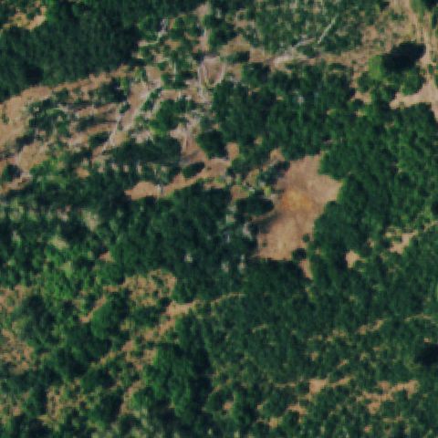
Dense forest with a small dirt clearing offset toward the top, no clear pad at center.
UncertainIDAHO SPRINGS, CO
39.6908213890001, -105.504719722
Forest with a small dirt clearing and structures, no clear pad at center.
UncertainLOUISVILLE, CO
39.952444444, -105.151272222
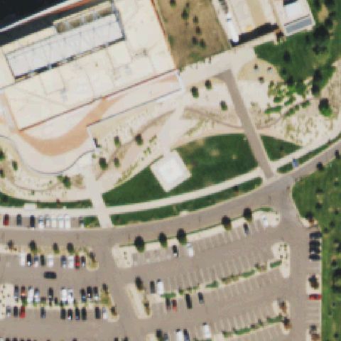
Hospital parking lots and grass lawn, no marked landing pad at center.
UncertainWESTMINSTER, CO
39.850386111, -105.017219444
Building roof with two faint light squares but no clear helipad marking at center.
UncertainHIGHLANDS RANCH, CO
39.556938889, -105.009325
A small light square is mid-image but lacks clear pad markings amid landscaped grounds.
UncertainCOLORADO SPRINGS, CO
38.738525, -104.835136111
A dark building/structure occupies the center with no visible helipad marking.
UncertainELBERT, CO
39.1809666670001, -104.495483333
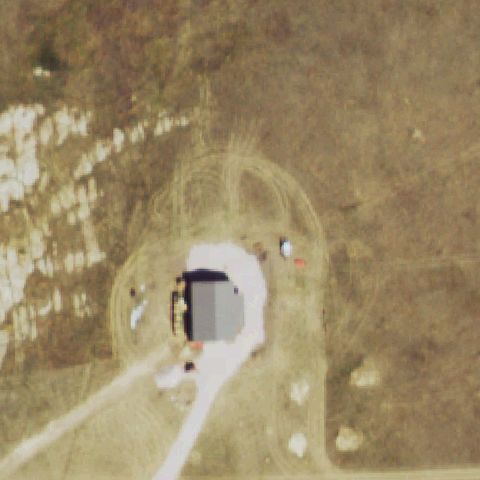
A dark-roofed building sits center surrounded by dirt with no marked landing area.
UncertainVAIL, CO
39.6438805560001, -106.381697222
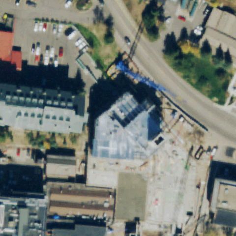
The center shows a building under construction with a crane and no visible pad.
UncertainMEEKER, CO
39.9734722220001, -107.622166667
A white building roof sits center with no helipad markings; likely predates construction.
UncertainWHEAT RIDGE, CO
39.771811111, -105.144755556
The tile is blurry and obscured with no discernible pad at center.
UncertainFORT LUPTON, CO
40.0422222220001, -104.808888889
Industrial buildings and pavement at center with no marked helipad.
UncertainFRASER, CO
39.9268611110001, -105.790316667
Center shows dirt roads and cleared/construction ground with no pad.
UncertainPARKER, CO
39.5472222220001, -104.769166667
Center is open field below a parking lot with no marked landing area.
ConfirmedAURORA, CO
39.7425000000001, -104.835683333
Red rooftop pad with a white cross marking sits near image center.
✓ Confirmed by AI vision with Claude Opus 4.8
ConfirmedCOLORADO SPRINGS, CO
38.9394500000001, -104.718197222
Ground pads with blue cross markings visible near image center.
✓ Confirmed by AI vision with Claude Opus 4.8
ConfirmedCOLORADO SPRINGS, CO
38.865997222, -104.822219444
Red rooftop pad with a white cross marking sits near image center.
✓ Confirmed by AI vision with Claude Opus 4.8
ConfirmedCORTEZ, CO
37.3630028330001, -108.574571
A faint light pink pad outline is visible in the grass lot near center.
✓ Confirmed by AI vision with Claude Opus 4.8
ConfirmedDELTA, CO
38.745102778, -108.048127778
A light square pad is visible in the grass near center though markings are indistinct.
✓ Confirmed by AI vision with Claude Opus 4.8
ConfirmedDENVER, CO
39.7328416670001, -104.932863889
Rooftop pad with a teal and white cross marking sits near image center.
✓ Confirmed by AI vision with Claude Opus 4.8
ConfirmedDENVER, CO
39.7926305560001, -104.899116667
A faint painted H-like marking is visible on the paved lot near center.
✓ Confirmed by AI vision with Claude Opus 4.8
ConfirmedDENVER, CO
39.7213333330001, -104.981163889
A small circular pad in a grassy enclosure is visible near center.
✓ Confirmed by AI vision with Claude Opus 4.8
ConfirmedDURANGO, CO
37.2361111110001, -107.8275
Circular pad with a red and white cross marking sits near image center.
✓ Confirmed by AI vision with Claude Opus 4.8
ConfirmedESTES PARK, CO
40.3713472220001, -105.515063889
Rooftop pad with a white cross marking sits near image center.
✓ Confirmed by AI vision with Claude Opus 4.8
ConfirmedFORT COLLINS, CO
40.5713916670001, -105.05435
White pad with a cross marking sits in a grassy strip near image center.
✓ Confirmed by AI vision with Claude Opus 4.8
ConfirmedFRISCO, CO
39.569358333, -106.078772222
A light circular graded pad with a small mark is visible near center.
✓ Confirmed by AI vision with Claude Opus 4.8
ConfirmedAURORA, CO
39.6882000000001, -104.831658333
Red and blue square pad with circular markings sits near image center.
✓ Confirmed by AI vision with Claude Opus 4.8
ConfirmedBRIGHTON, CO
39.966033333, -104.767458333
Circular pad with a white cross marking sits at image center on a green mound.
✓ Confirmed by AI vision with Claude Opus 4.8
ConfirmedCASTLE ROCK, CO
39.406111111, -104.884166667
Square pad with a white cross marking sits in grass near image center.
✓ Confirmed by AI vision with Claude Opus 4.8
ConfirmedCOLORADO SPRINGS, CO
38.840358333, -104.799566667
Red rooftop pad with marking plus a dark circular pad visible near center.
✓ Confirmed by AI vision with Claude Opus 4.8
ConfirmedCRAIG, CO
40.5192361110001, -107.5797
White square pad with a cross marking sits in grass near image center.
✓ Confirmed by AI vision with Claude Opus 4.8
ConfirmedDEL NORTE, CO
37.6750277780001, -106.362888889
Dark square pad with a white cross marking sits near image center.
✓ Confirmed by AI vision with Claude Opus 4.8
ConfirmedDENVER, CO
39.74625, -104.970438889
A faint circular marker sits on a low rooftop near the image center.
✓ Confirmed by AI vision with Claude Opus 4.8
ConfirmedGRAND JUNCTION, CO
39.0986972220001, -108.584952778
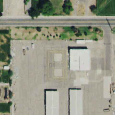
A marked rectangular pad outline is visible near the center of a paved yard.
✓ Confirmed by AI vision with Claude Opus 4.8
ConfirmedGUNNISON, CO
38.5519194440001, -106.924416667
A pad with a white cross/H marking sits near center in a landscaped area.
✓ Confirmed by AI vision with Claude Opus 4.8
ConfirmedLAFAYETTE, CO
39.9708444440001, -105.087402778
A circular pad with a cross marking and perimeter markers sits near center in grass.
✓ Confirmed by AI vision with Claude Opus 4.8
ConfirmedLITTLETON, CO
39.5757083330001, -104.986891667
A circular pad with a white cross marking is visible near center on the lawn.
✓ Confirmed by AI vision with Claude Opus 4.8
ConfirmedLONE TREE, CO
39.5282916670001, -104.870230556
A circular marked pad is visible near center in the hospital plaza.
✓ Confirmed by AI vision with Claude Opus 4.8
ConfirmedLITTLETON, CO
39.6029472220001, -105.090780556
A circular pad with a white cross marking is visible near center in the lawn.
✓ Confirmed by AI vision with Claude Opus 4.8
ConfirmedMONTROSE, CO
38.253194444, -107.972841667
A circular prepared pad in a forest clearing sits near center.
✓ Confirmed by AI vision with Claude Opus 4.8
ConfirmedMONUMENT, CO
39.0847555560001, -104.901866667
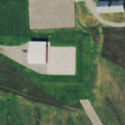
Square concrete pads on a helibase, one near center, consistent with a landing surface.
✓ Confirmed by AI vision with Claude Opus 4.8
ConfirmedPARKER, CO
39.5475555560001, -104.769925
A circular pad sits in the lawn near center at the hospital.
✓ Confirmed by AI vision with Claude Opus 4.8
ConfirmedTRINIDAD, CO
37.1737555560001, -104.48805
A square prepared pad with a faint marking sits near center within the hospital complex.
✓ Confirmed by AI vision with Claude Opus 4.8
ConfirmedHUGO, CO
39.138822222, -103.474480556
A marked rooftop pad with touchdown markings sits near the image center.
✓ Confirmed by AI vision with Claude Opus 4.8
ConfirmedINDIAN HILLS, CO
39.6366861110001, -105.267186111
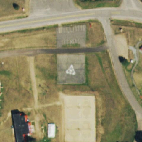
A paved pad with a painted triangle/marking is present near the center of the lot.
✓ Confirmed by AI vision with Claude Opus 4.8
ConfirmedLA JUNTA, CO
37.9768, -103.54995
A prepared pad with a painted white cross marking sits at the image center.
✓ Confirmed by AI vision with Claude Opus 4.8
ConfirmedLAKEWOOD, CO
39.7158972220001, -105.127930556
A circular pad with a cross marking is present just below center at the hospital.
✓ Confirmed by AI vision with Claude Opus 4.8
ConfirmedLAMAR, CO
38.0712750000001, -102.609630556
A square pad with a cross marking sits at the center of the grassy area.
✓ Confirmed by AI vision with Claude Opus 4.8
ConfirmedLOVELAND, CO
40.4122694440001, -105.051172222
A square pad with a red cross marking sits at the image center.
✓ Confirmed by AI vision with Claude Opus 4.8
ConfirmedLOVELAND, CO
40.416694444, -104.996077778
A white square pad with a cross marking is centered in the hospital lawn.
✓ Confirmed by AI vision with Claude Opus 4.8
ConfirmedNATURITA, CO
38.218677778, -108.575380556
A square pad with a red cross marking sits at the image center.
✓ Confirmed by AI vision with Claude Opus 4.8
ConfirmedPUEBLO, CO
38.2804833330001, -104.614133333
A square pad with a cross marking sits near the center of the hospital grounds.
✓ Confirmed by AI vision with Claude Opus 4.8
ConfirmedPUEBLO, CO
38.329136111, -104.702125
A square prepared pad with a faint marking is present at the image center.
✓ Confirmed by AI vision with Claude Opus 4.8
ConfirmedPUEBLO, CO
38.2336333330001, -104.624536111
A circular pad with a cross marking sits at the center of the hospital building.
✓ Confirmed by AI vision with Claude Opus 4.8
ConfirmedSALIDA, CO
38.543841667, -106.009083333
A circular pad with a red cross marking is present near the image center.
✓ Confirmed by AI vision with Claude Opus 4.8
ConfirmedWATERTON, CO
39.4997000000001, -105.106972222
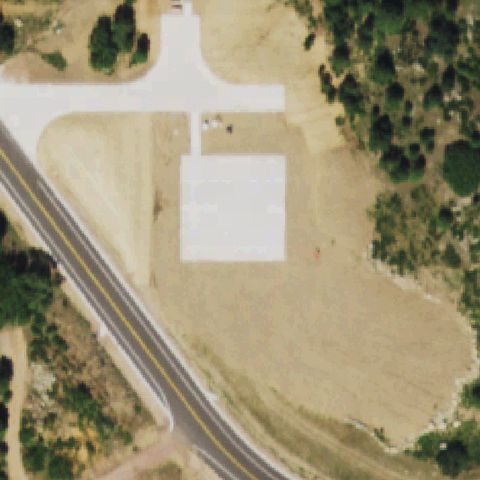
A large prepared concrete pad with a faint diamond/square outline fills the center, likely a TLOF.
✓ Confirmed by AI vision with Claude Opus 4.8
ConfirmedWHEAT RIDGE, CO
39.7659055560001, -105.092652778
A circular pad with a white cross marking sits near the image center.
✓ Confirmed by AI vision with Claude Opus 4.8
ConfirmedWRAY, CO
40.0763916670001, -102.235477778
A painted orange H marking sits on the prepared area near the image center.
✓ Confirmed by AI vision with Claude Opus 4.8
ConfirmedYUMA, CO
40.1211777780001, -102.737613889
A square pad with a cross marking sits near the center beside the hospital.
✓ Confirmed by AI vision with Claude Opus 4.8
ConfirmedGATEWAY, CO
38.6764138890001, -108.9786
A large pale cross-shaped prepared concrete area is centered, likely the helipad, though no painted H is clearly visible.
✓ Confirmed by AI vision with Claude Opus 4.8
ConfirmedGRANBY, CO
40.076269444, -105.925272222
A square concrete pad with a cross/plus marking sits near image center by the hospital.
✓ Confirmed by AI vision with Claude Opus 4.8
ConfirmedAURORA, CO
39.579166667, -104.725655556
A square concrete pad with a circular touchdown marking is just below center near the ER building.
✓ Confirmed by AI vision with Claude Opus 4.8
ConfirmedFORT COLLINS, CO
40.522222222, -105.008333333
A large square prepared pad with a center touchdown marker sits at the image center.
✓ Confirmed by AI vision with Claude Opus 4.8