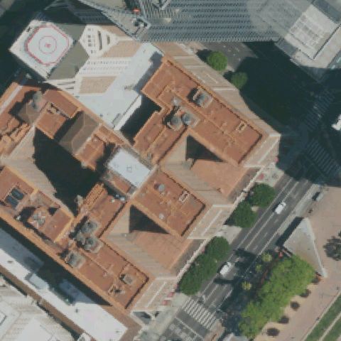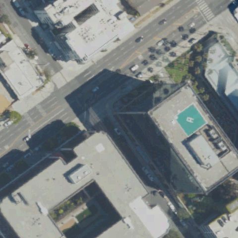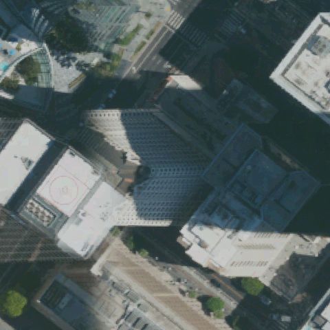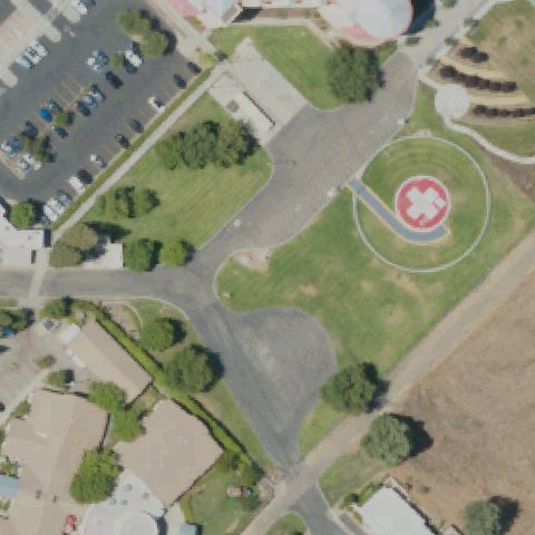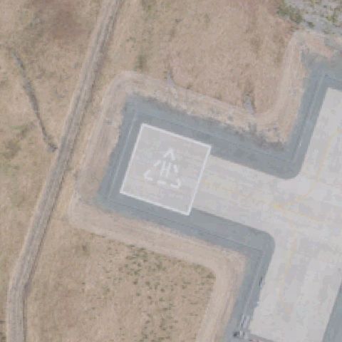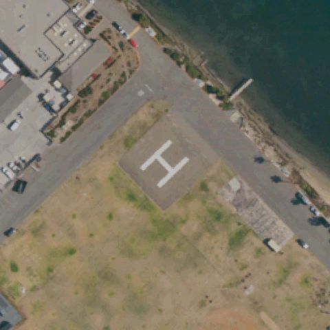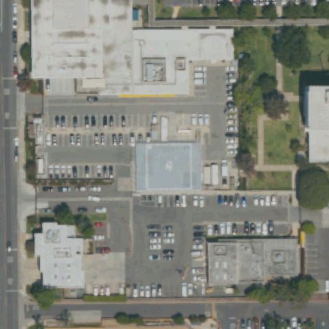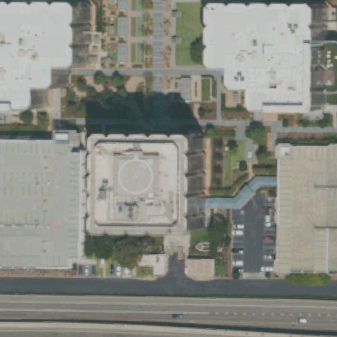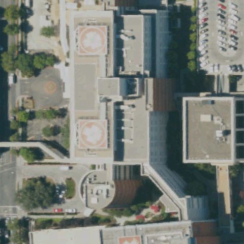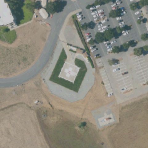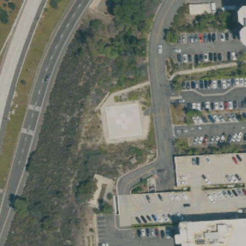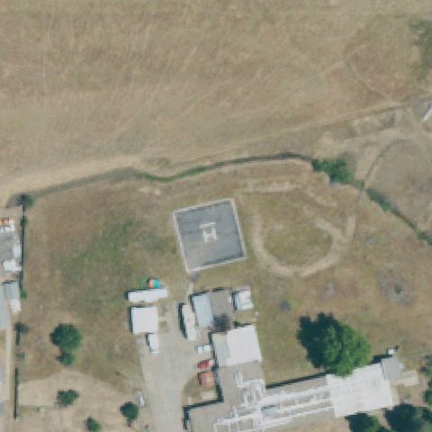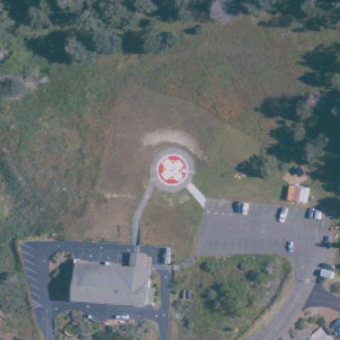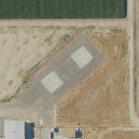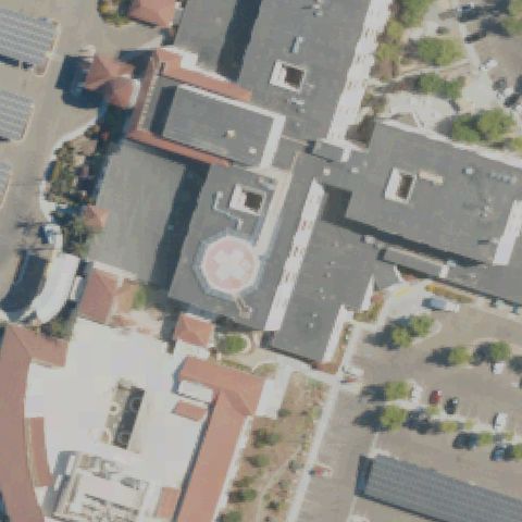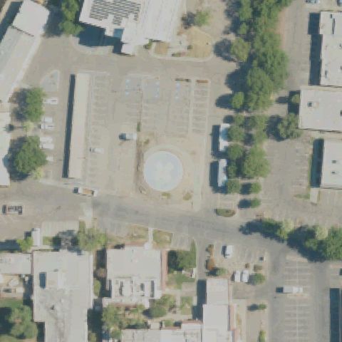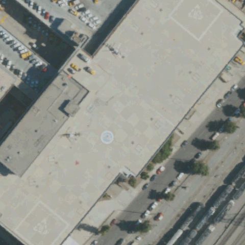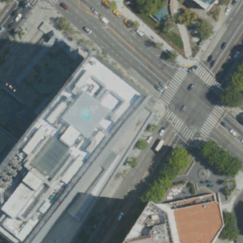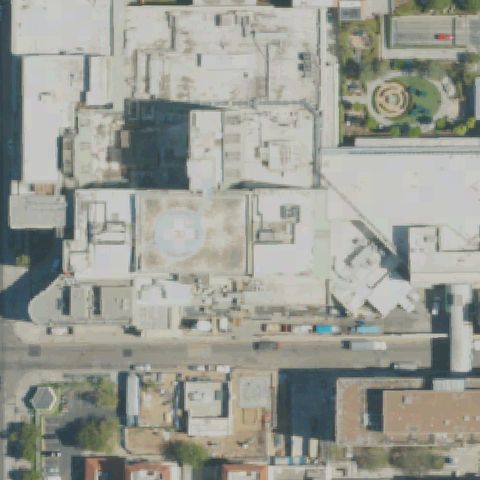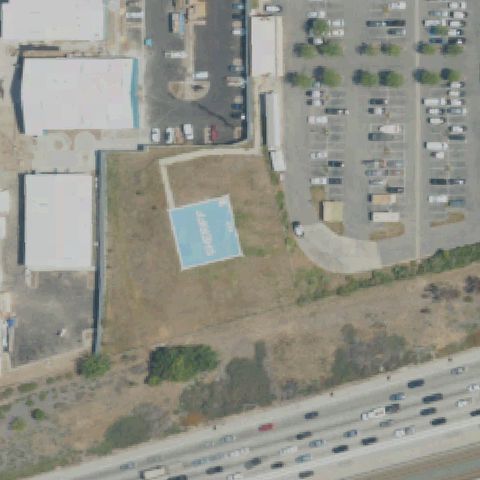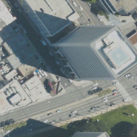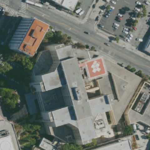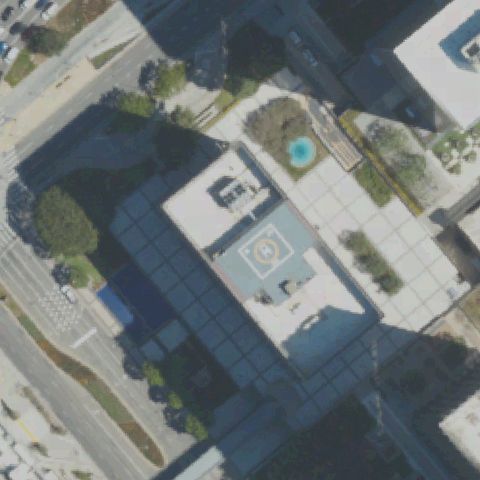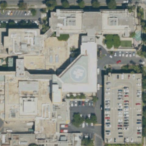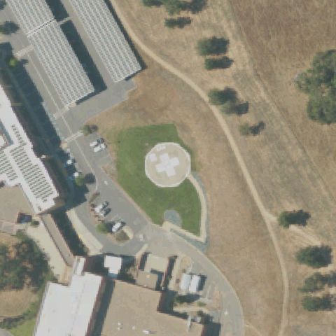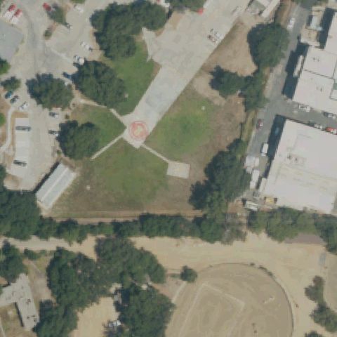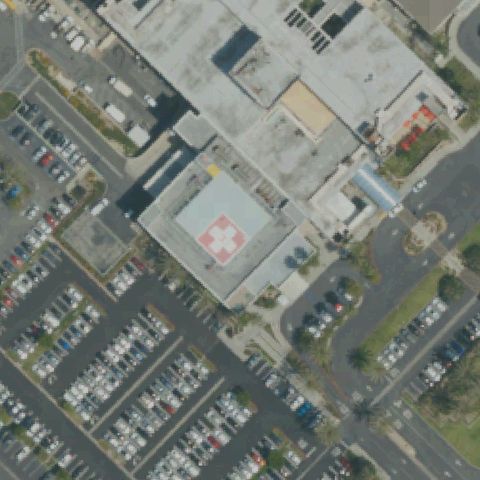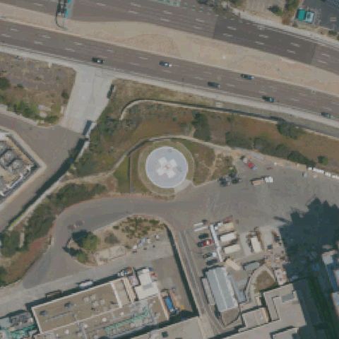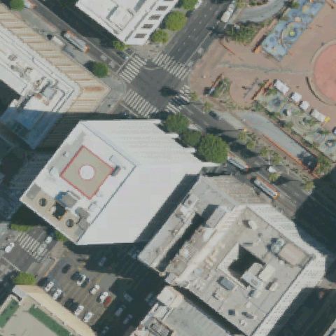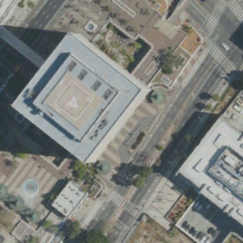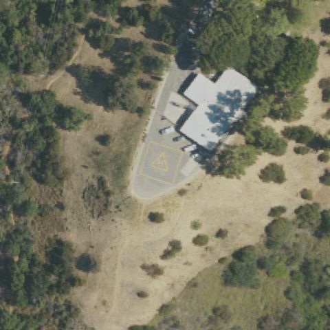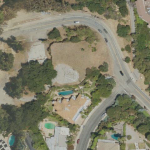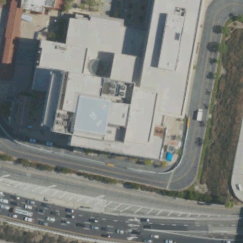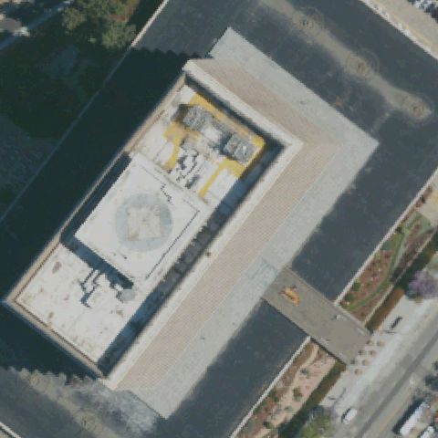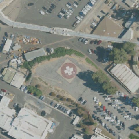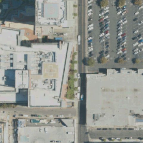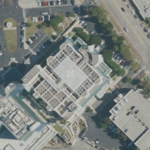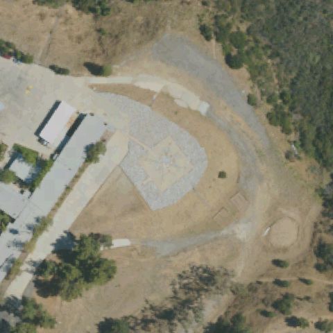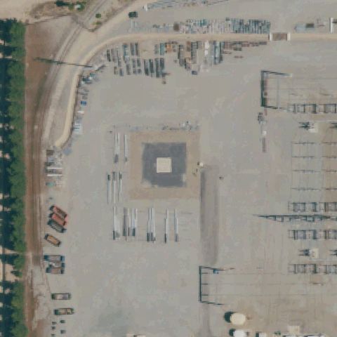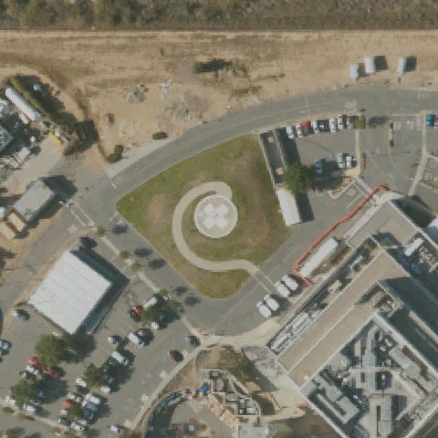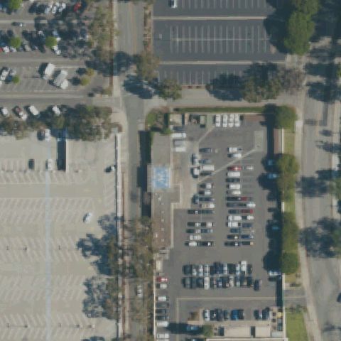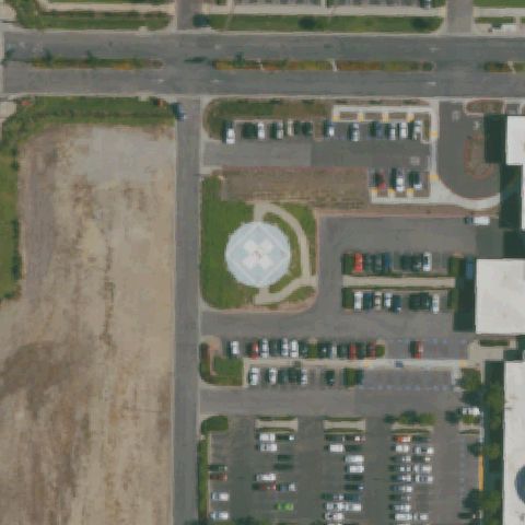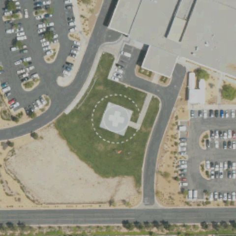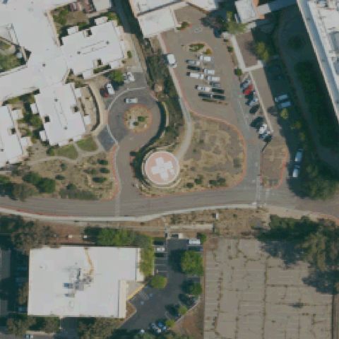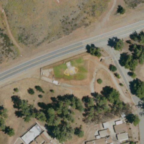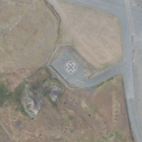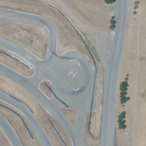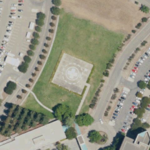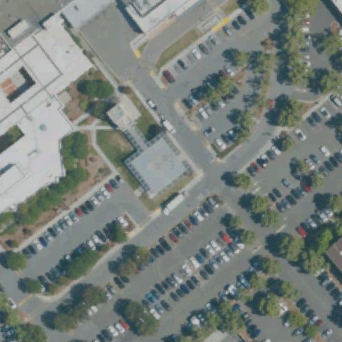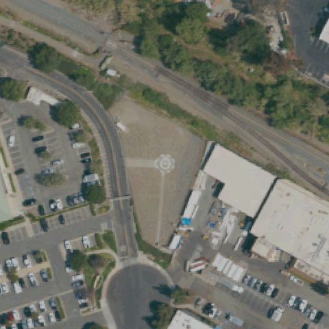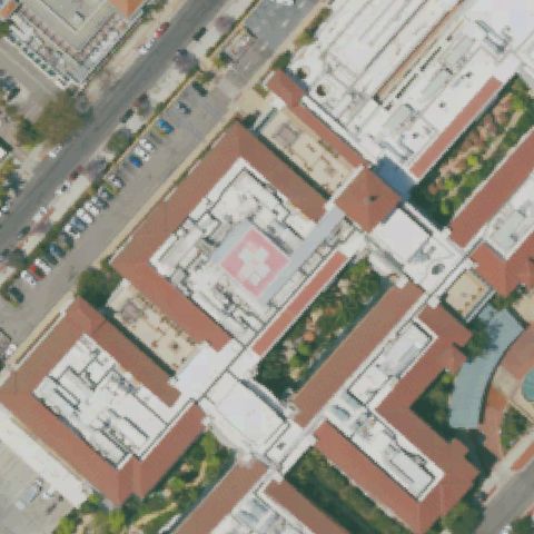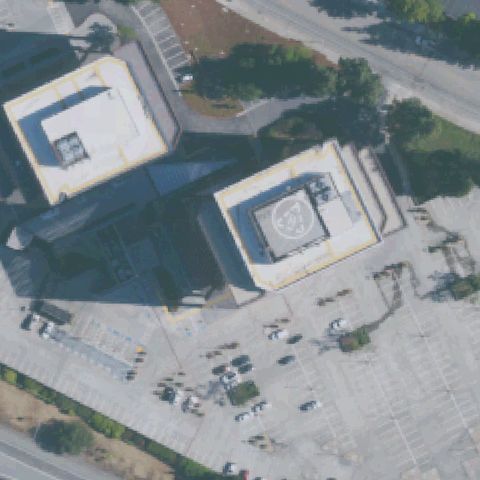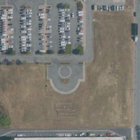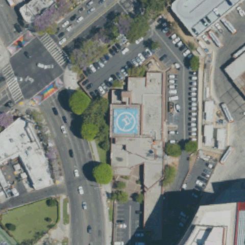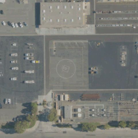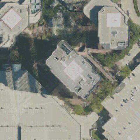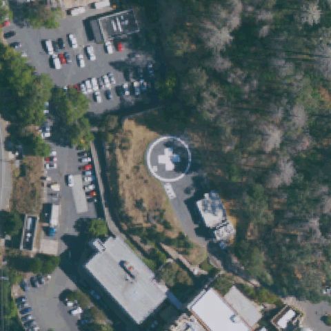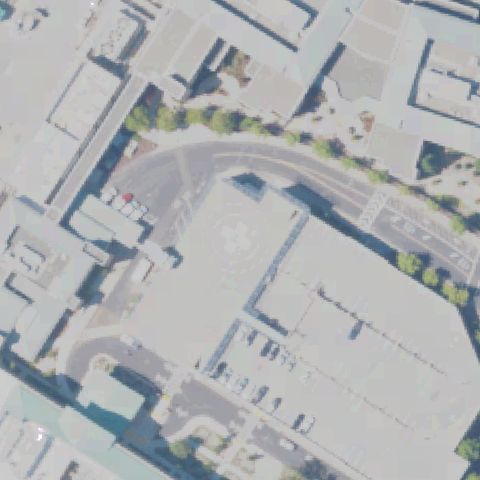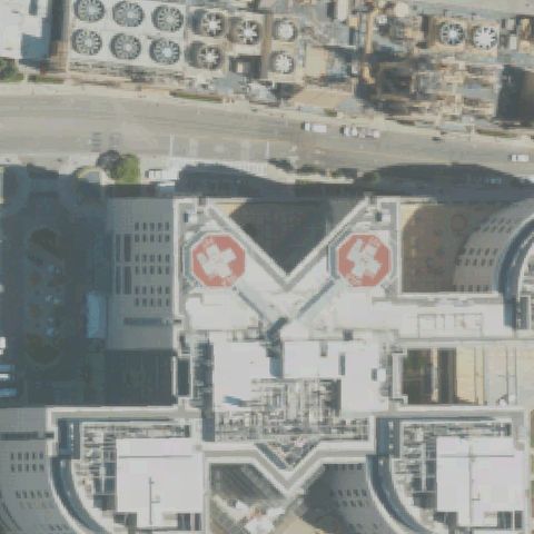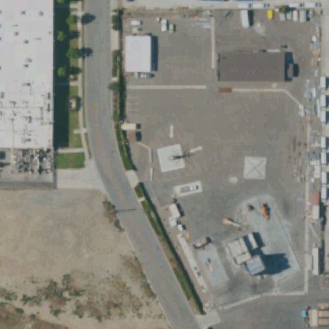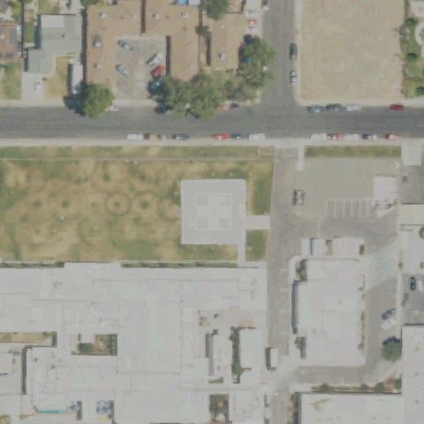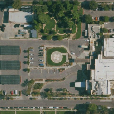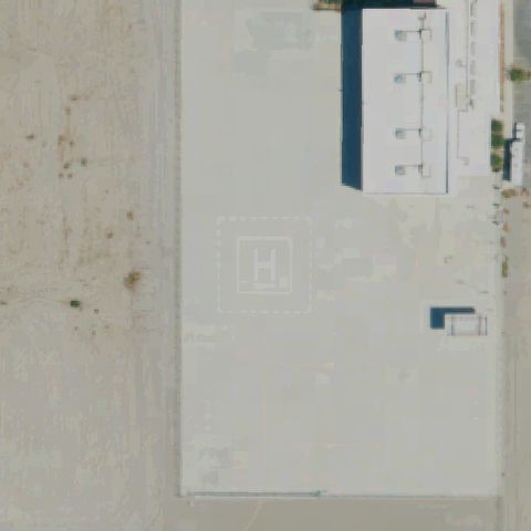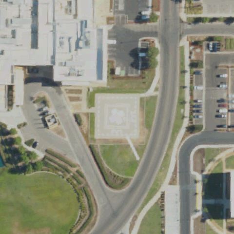
FAA record × aerial reality

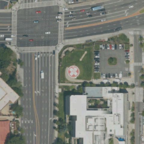
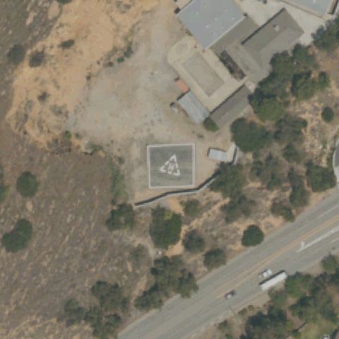
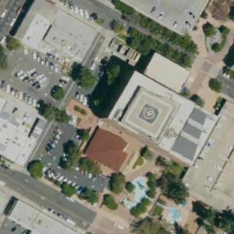
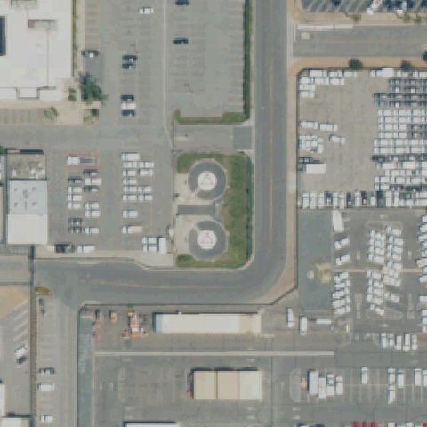
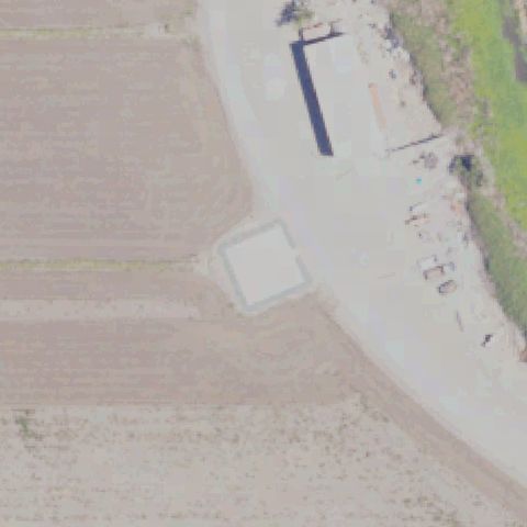
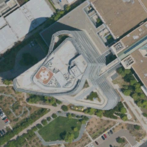
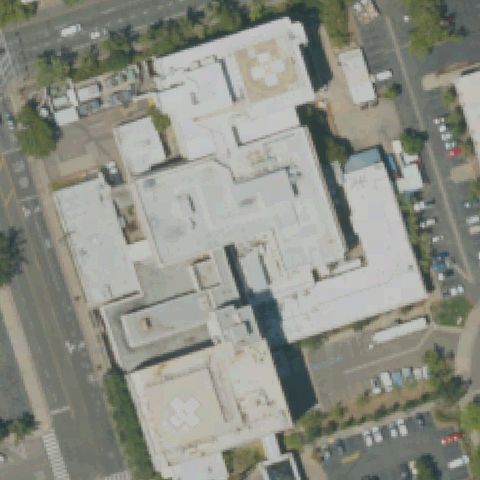
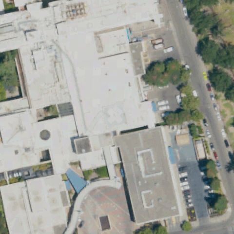
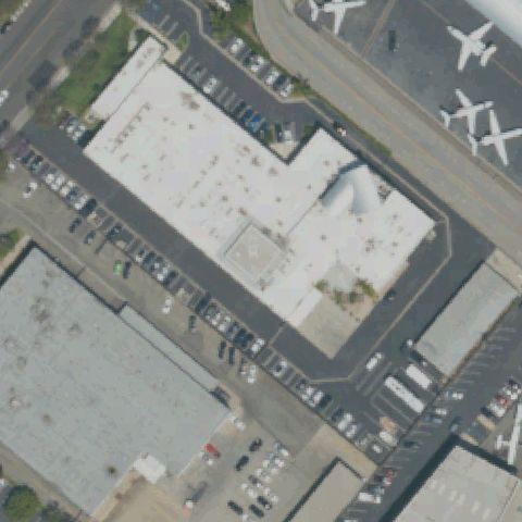
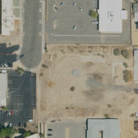
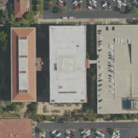
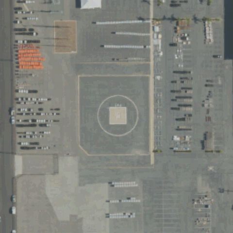
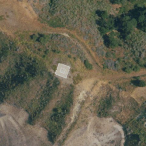
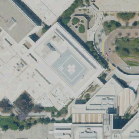
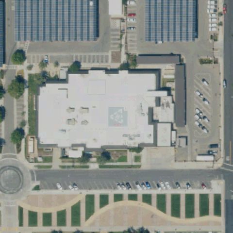
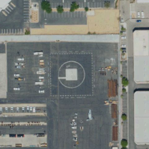
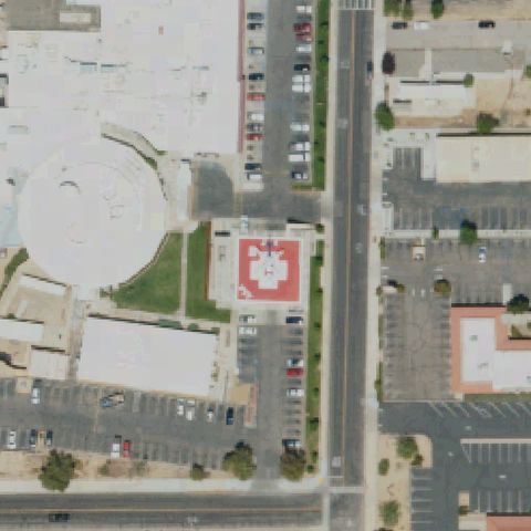
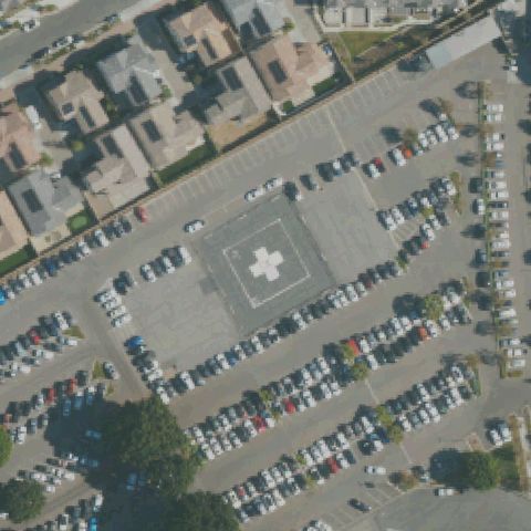
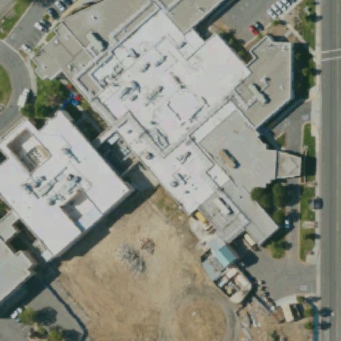
California: where the heliport map and the ground disagree.

389
facilities checked
144
flagged for review
-
visitors

Data: FAA Airports (ArcGIS open layer)  |  Imagery: USGS NAIP (public domain)  |  AI vision: Claude Opus 4.8  |  built 2026-07-05

This is a prioritized review queue, not a list of findings.

A flag means a pad could not be confirmed from current imagery - never that a heliport is missing, fake, or mislocated. Help us check: vote on each one below.

Verdicts
79 Not visible44 Off-center21 Uncertain245 Confirmed
Facilities — worst-first
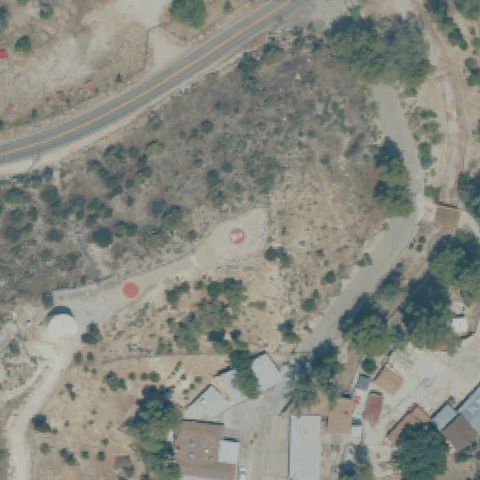
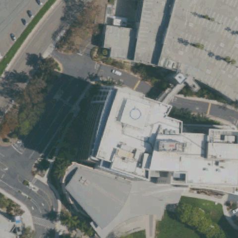
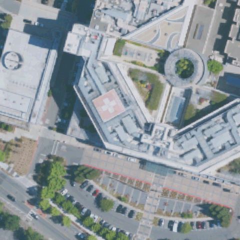
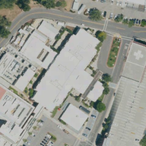
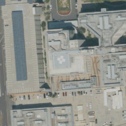
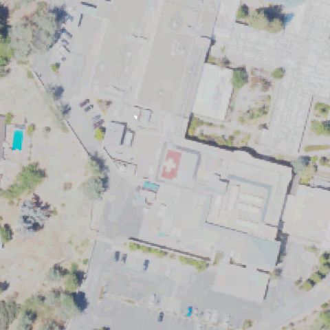
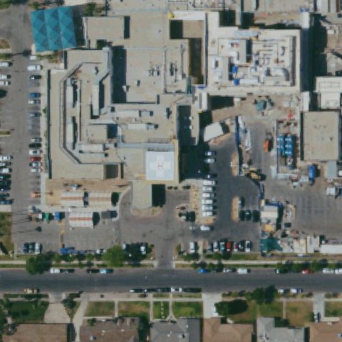
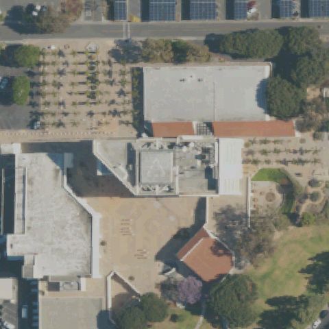
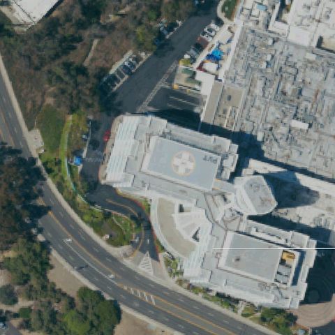
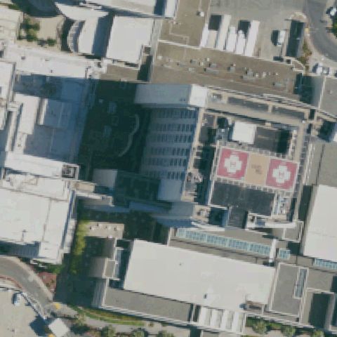
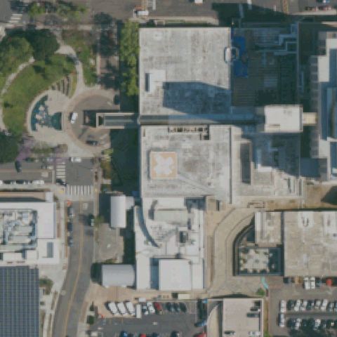
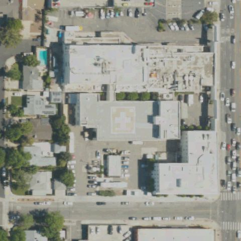
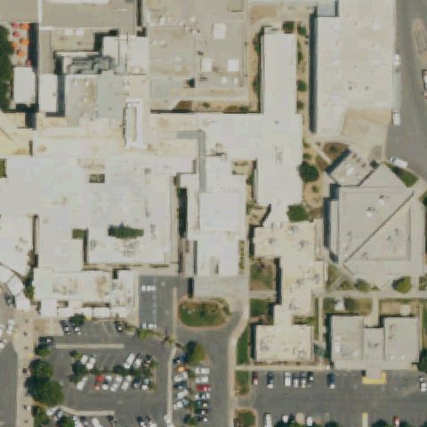
Aerial tile for 28CNNot visible

28CN San Joaquin Community Hospital

BAKERSFIELD, CA

35.383222222, -119.020805556

Hospital rooftop complex visible but no helipad markings discernible at image center.

80% confidence Verify on the map →
Is there really a pad here?
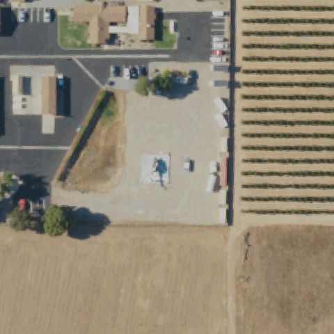
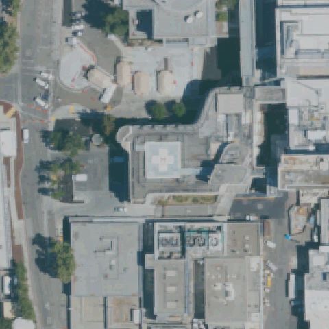
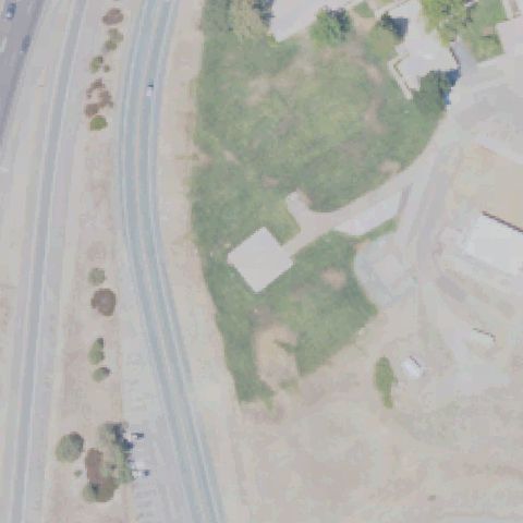
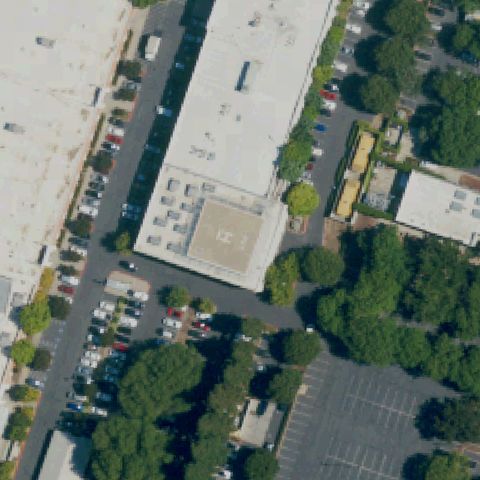
Aerial tile for CL60Not visible

CL60 Meml Hospital

BAKERSFIELD, CA

35.3913055560001, -119.006333333

Large hospital building complex at center but no helipad markings visible on rooftop or ground.

75% confidence Verify on the map →
Is there really a pad here?
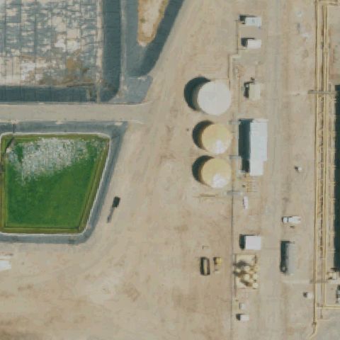
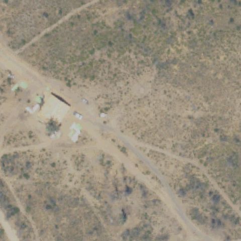
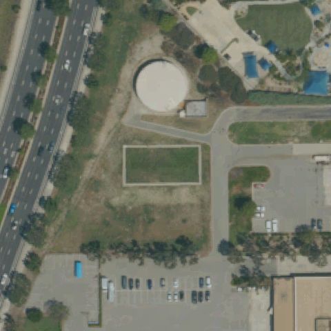
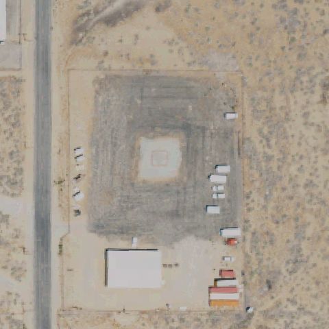
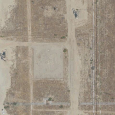
Aerial tile for 20CANot visible

20CA Clayton

BLYTHE, CA

33.6036583330001, -114.644561111

Industrial oil storage facility with tanks at center; no helipad markings visible.

90% confidence Verify on the map →
Is there really a pad here?
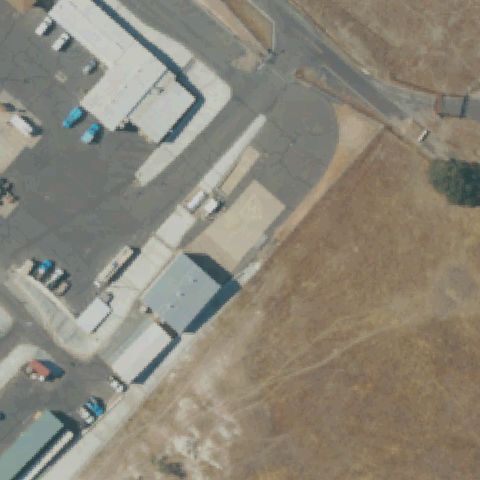
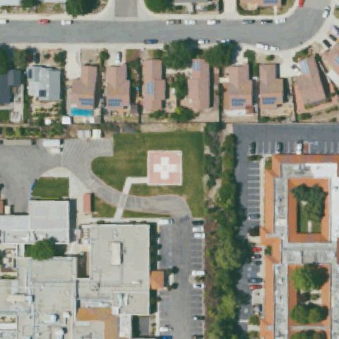
Aerial tile for 16CLNot visible

16CL Mother Lode Service Center

ANGELS CAMP, CA

38.0845833330001, -120.537972222

Utility service center yard and buildings visible at center with no helipad markings.

82% confidence Verify on the map →
Is there really a pad here?
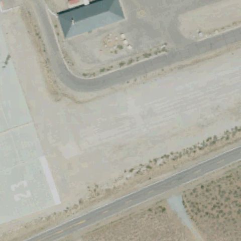
Aerial tile for 7CL4Not visible

7CL4 Pickel Meadows Eaf

BRIDGEPORT, CA

38.355569444, -119.518788889

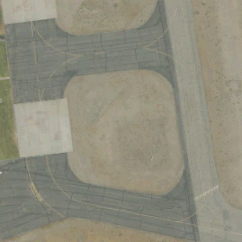
Military airfield apron and taxiway visible; image center is open tarmac without a dedicated helipad marking.

72% confidence Verify on the map →
Is there really a pad here?
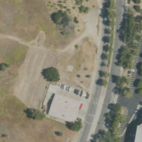
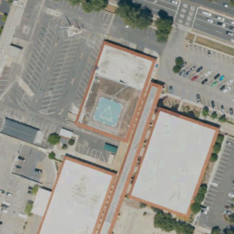
Aerial tile for CL62Not visible

CL62 Station 125

CALABASAS, CA

34.151519444, -118.697755556

Fire station building with parking area visible; no helipad markings at image center.

78% confidence Verify on the map →
Is there really a pad here?
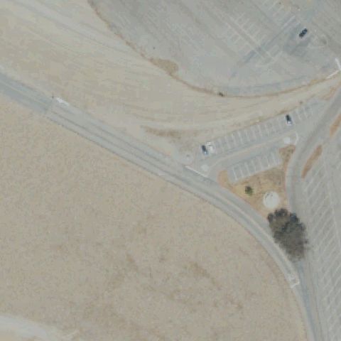
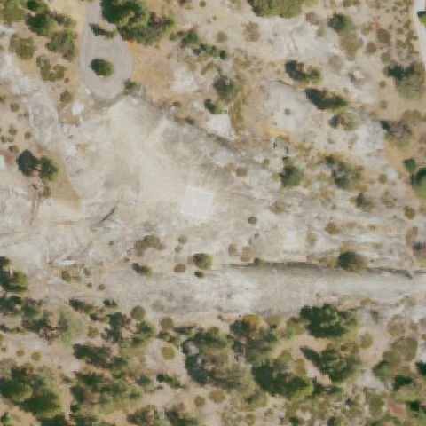
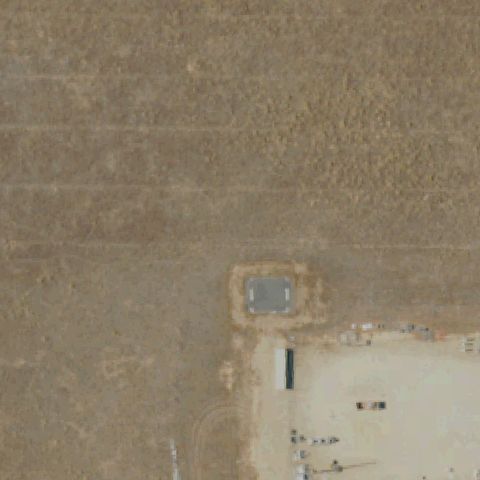
Aerial tile for CL63Not visible

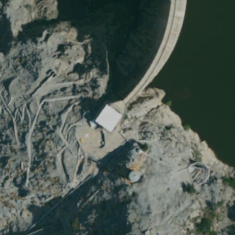
CL63 Castaic Dam

CASTAIC, CA

34.517472222, -118.600327778

Dam road intersection and desert terrain at image center with no helipad markings visible.

85% confidence Verify on the map →
Is there really a pad here?
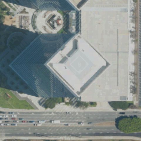
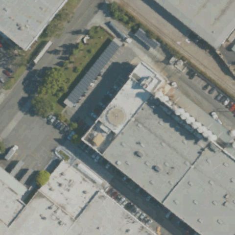
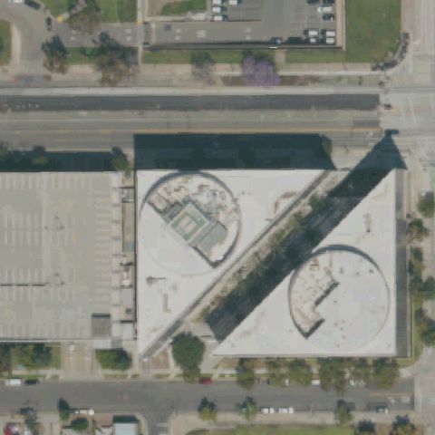
Aerial tile for CL03Not visible

CL03 Airport Towers Nr 1

EL SEGUNDO, CA

33.9168888890001, -118.394888889

Diamond-shaped pyramid roof building at center; architectural feature, no helipad markings visible.

72% confidence Verify on the map →
Is there really a pad here?
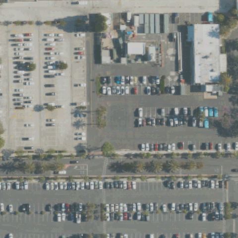
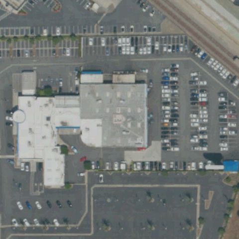
Aerial tile for 93CANot visible

93CA Fountain Valley Rgnl Hospital

FOUNTAIN VALLEY, CA

33.7139583330001, -117.935733333

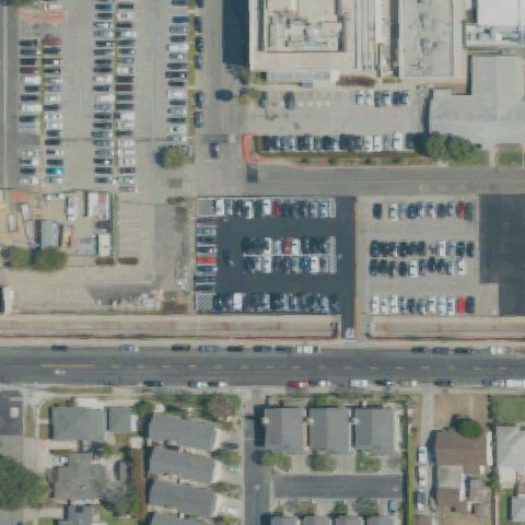
Hospital parking lot and building at center but no helipad markings visible at image center.

82% confidence Verify on the map →
Is there really a pad here?
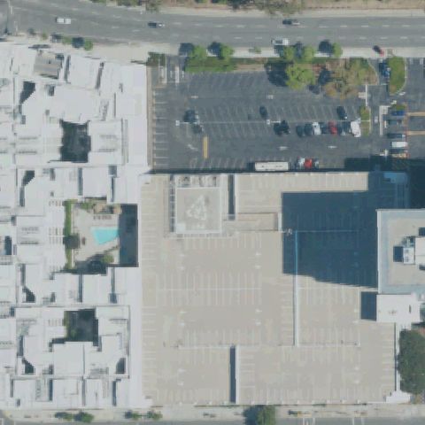
Aerial tile for CL19Not visible

CL19 Bank of America Glendale

GLENDALE, CA

34.1553777780001, -118.257

Center of image shows a large parking lot roof with no visible H or touchdown markings.

82% confidence Verify on the map →
Is there really a pad here?
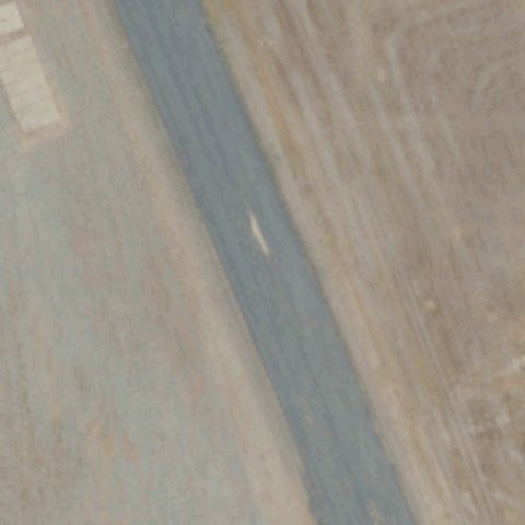
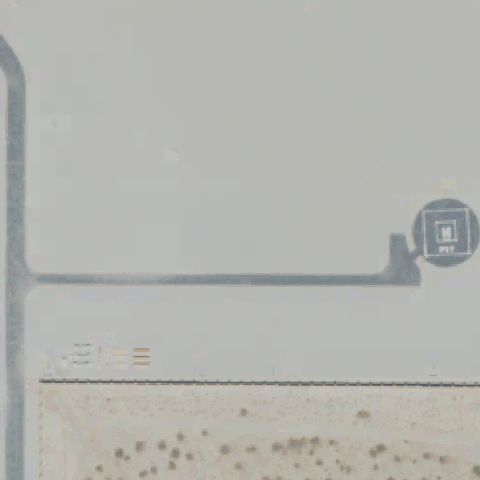
Aerial tile for SYLNot visible

SYL Roberts AHP

CAMP ROBERTS/SAN MIGUEL, CA

35.8149663890001, -120.743784722

Image center shows a runway/taxiway strip on desert ground with no visible helicopter pad or H marking.

75% confidence Verify on the map →
Is there really a pad here?
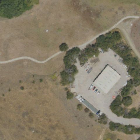
Aerial tile for CSLNot visible

CSL O'sullivan AHP

CAMP SAN LUIS OBISPO, CA

35.3333075, -120.734340278

Image center shows an open dry grass field with a small building complex but no visible helipad markings.

80% confidence Verify on the map →
Is there really a pad here?
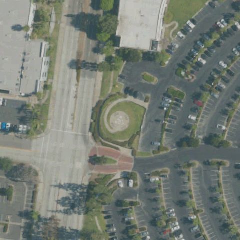
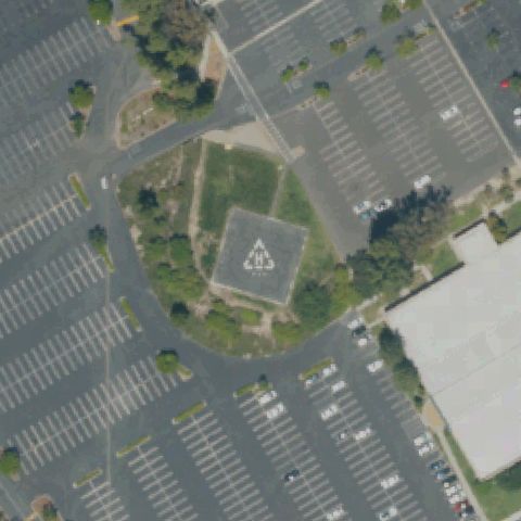
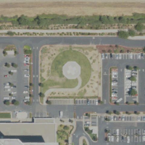
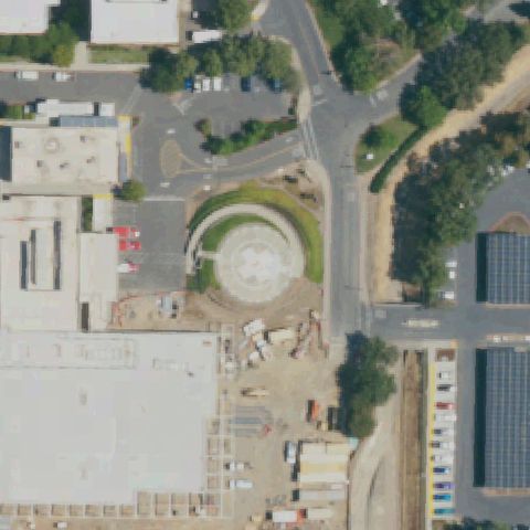
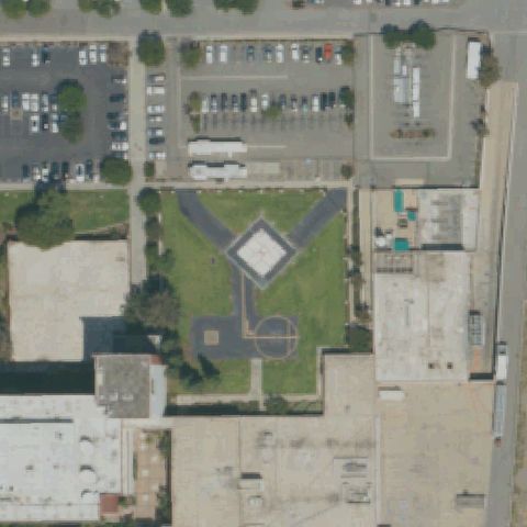
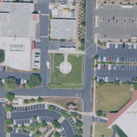
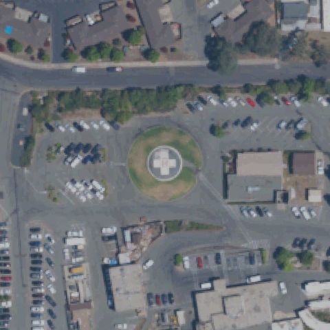
Aerial tile for 2CL0Not visible

2CL0 Commerce Business Park

CITY OF COMMERCE, CA

33.987569444, -118.161477778

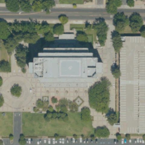
Image center shows a decorative grass roundabout in a business park with no visible helipad markings.

82% confidence Verify on the map →
Is there really a pad here?
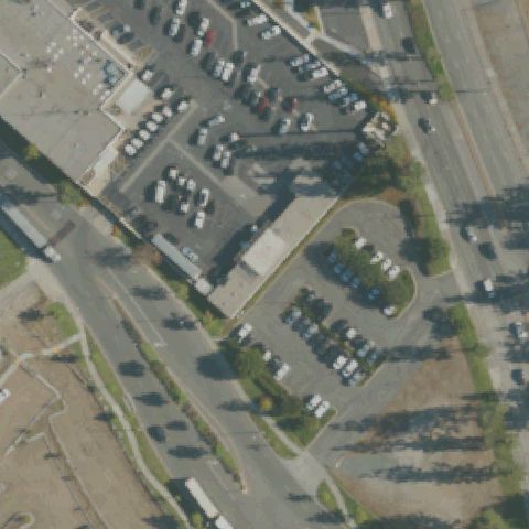
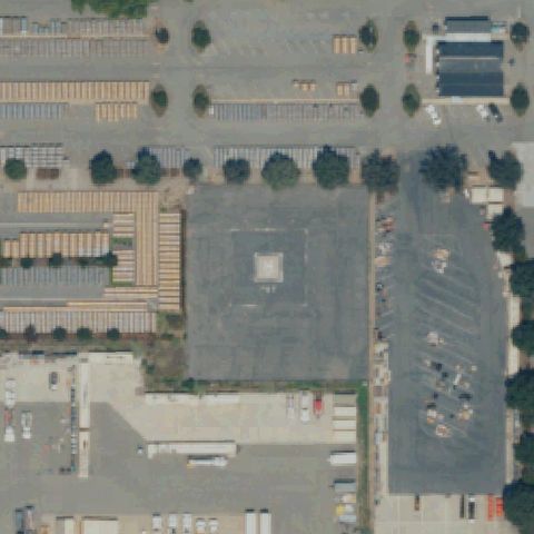
Aerial tile for 7L5Not visible

7L5 L A County Sheriff's Department

CITY OF INDUSTRY, CA

34.0245, -117.958111111

Image center shows a standard parking lot with no visible helipad or H markings.

78% confidence Verify on the map →
Is there really a pad here?
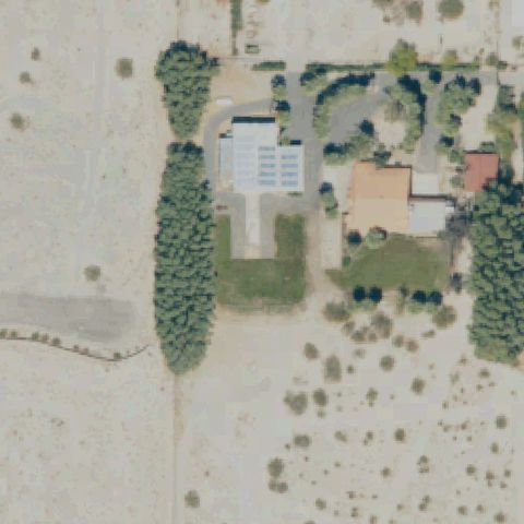
Aerial tile for 29CANot visible

29CA Landells

DESERT HOT SPRINGS, CA

33.9216388890001, -116.453469444

Image center shows a desert residential property with outbuildings but no visible helipad markings.

80% confidence Verify on the map →
Is there really a pad here?
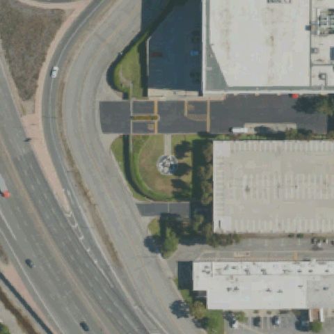
Aerial tile for CL27Not visible

CL27 Wells Fargo-El Monte

EL MONTE, CA

34.0701472220001, -118.071875

Image center shows a highway interchange with a small landscaped island; no helipad markings visible.

78% confidence Verify on the map →
Is there really a pad here?
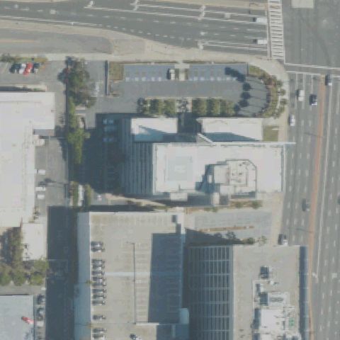
Aerial tile for CN33Not visible

CN33 Airport Imperial Bldg Helistop

EL SEGUNDO, CA

33.930375, -118.396894444

Image center shows commercial rooftops with no visible helipad markings near the LAX airport area.

72% confidence Verify on the map →
Is there really a pad here?
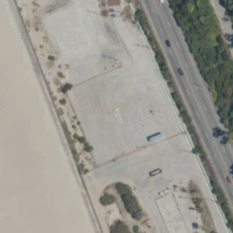
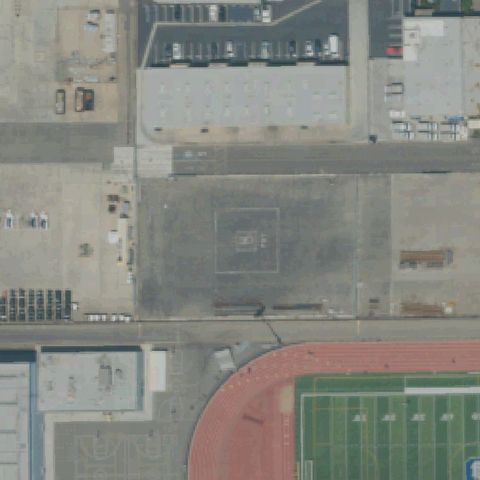
Aerial tile for 4CA6Not visible

4CA6 Chevron Refinery

EL SEGUNDO, CA

33.9144694440001, -118.427219444

Image center shows large industrial concrete slabs at a refinery with no visible helipad markings.

78% confidence Verify on the map →
Is there really a pad here?
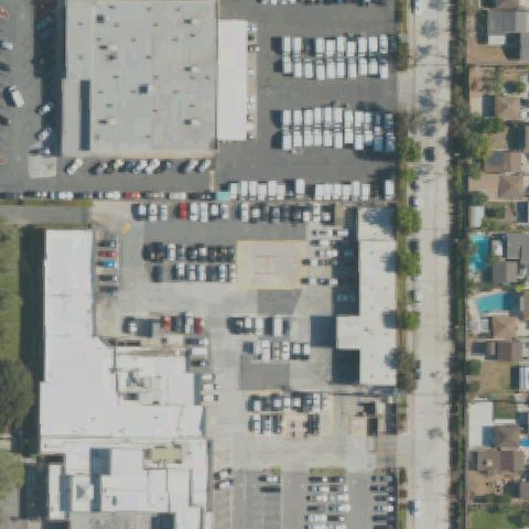
Aerial tile for 50CLNot visible

50CL La County Sheriff Lakewood

LAKEWOOD, CA

33.851791667, -118.132769444

Center shows commercial/industrial buildings and parking lots with no helipad markings visible.

85% confidence Verify on the map →
Is there really a pad here?
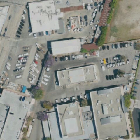
Aerial tile for 44LNot visible

44L Wilshire Area

LOS ANGELES, CA

34.0472500000001, -118.342888889

Center shows industrial and commercial buildings with parking lots; no helipad markings or prepared pad visible.

82% confidence Verify on the map →
Is there really a pad here?
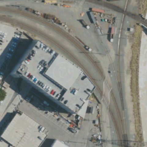
Aerial tile for 23CLNot visible

23CL La County Mens Sheriffs Cntr Jail

LOS ANGELES, CA

34.0613611110001, -118.228055556

Center shows industrial buildings and parking with no helipad markings visible.

80% confidence Verify on the map →
Is there really a pad here?
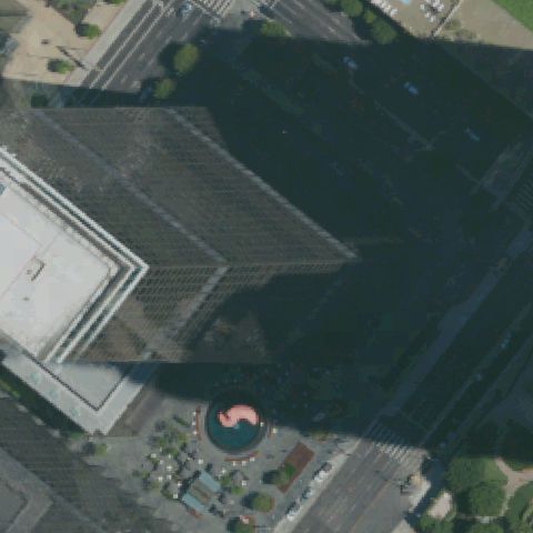
Aerial tile for 87CLNot visible

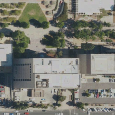
87CL City Ntl Plaza

LOS ANGELES, CA

34.0514694440001, -118.25705

Dark glass-faced building rooftop at center with no visible helipad markings or prepared landing area.

78% confidence Verify on the map →
Is there really a pad here?
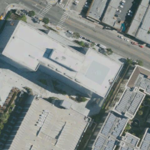
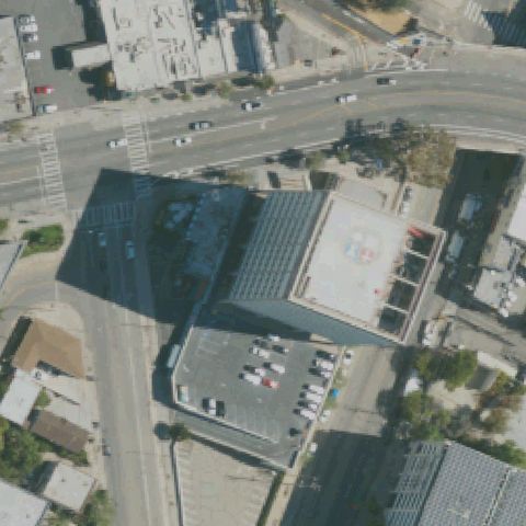
Aerial tile for CL32Not visible

CL32 Garland Center

LOS ANGELES, CA

34.0509638890001, -118.265633333

Flat rooftop building at center with no visible helipad markings or landing circle.

78% confidence Verify on the map →
Is there really a pad here?
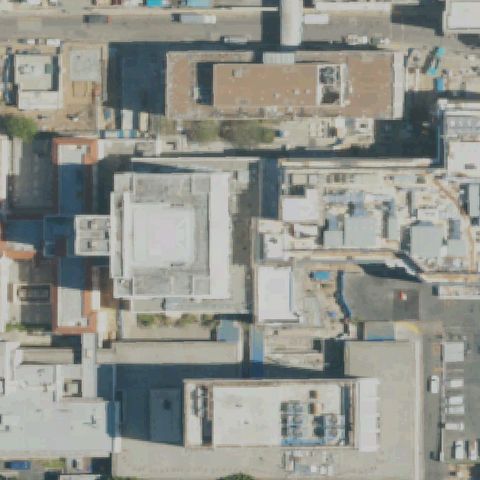
Aerial tile for CL70Not visible

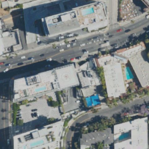
CL70 Queen of Angel-Hollywood Presbyterian Hos

LOS ANGELES, CA

34.0964222220001, -118.290330556

Dense urban rooftop complex with HVAC equipment at center; no helipad markings visible.

77% confidence Verify on the map →
Is there really a pad here?
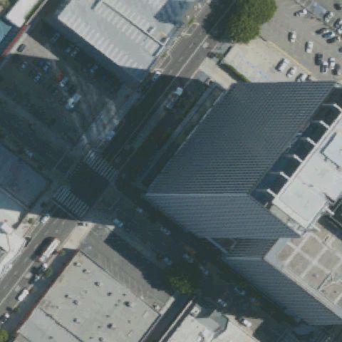
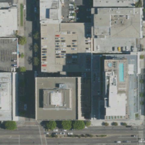
Aerial tile for 46CLNot visible

46CL South Park Center

LOS ANGELES, CA

34.0394972220001, -118.261833333

Flat commercial rooftop at center with no visible helipad markings or circle.

80% confidence Verify on the map →
Is there really a pad here?
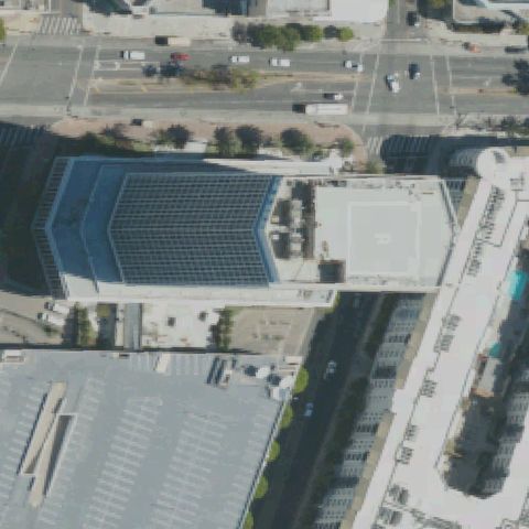
Aerial tile for 3CA6Not visible

3CA6 Trizec 5670 Wilshire LLC

LOS ANGELES, CA

34.0619333330001, -118.351894444

Building rooftop with solar panels at center; no helipad markings or landing circle visible.

80% confidence Verify on the map →
Is there really a pad here?
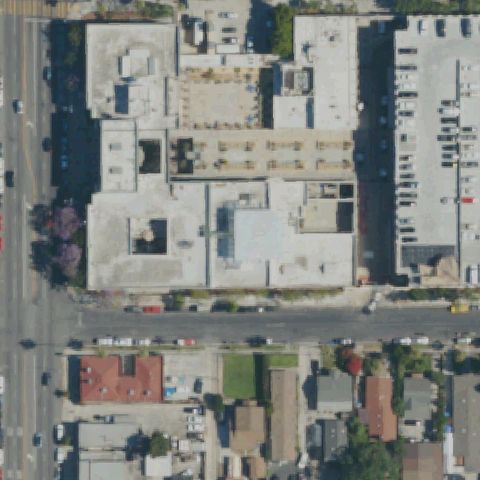
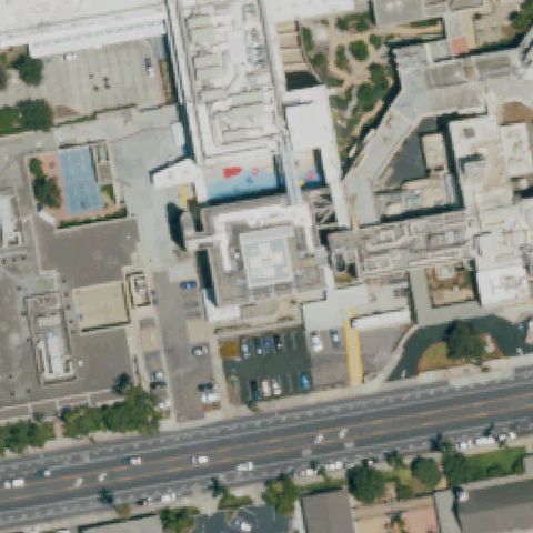
Aerial tile for 4CA9Not visible

4CA9 Randy Champe-Gary Howe Meml

LOS ANGELES, CA

33.970083333, -118.277605556

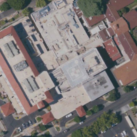
Large hospital complex rooftop visible at center with multiple roof sections but no clear helipad markings.

75% confidence Verify on the map →
Is there really a pad here?
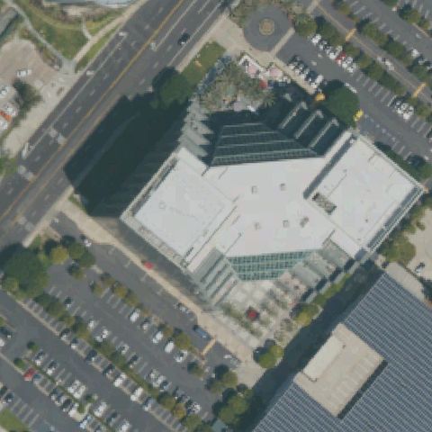
Aerial tile for 0CL5Not visible

0CL5 The Atrium

IRVINE, CA

33.670427778, -117.857733333

Office building rooftop at center with no visible helipad markings or landing circle.

82% confidence Verify on the map →
Is there really a pad here?
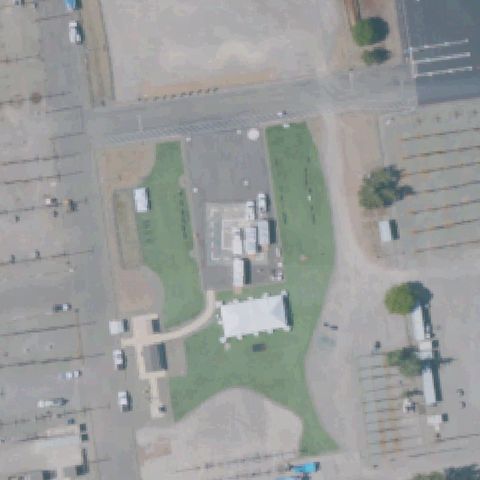
Aerial tile for LA22Not visible

LA22 Pg&e Livermore Training Center

LIVERMORE, CA

37.6990555560001, -121.70975

Center shows industrial utility complex buildings with no painted H, circle, or prepared pad markings visible.

85% confidence Verify on the map →
Is there really a pad here?
Aerial tile for CA99Not visible

CA99 Kilroy Ac8-Long Beach

LONG BEACH, CA

33.807416667, -118.145738889

Rooftop center has mechanical equipment and oval architectural feature but no H, circle, or pad markings.

80% confidence Verify on the map →
Is there really a pad here?
Aerial tile for 42LNot visible

42L Naa Long Beach Port Helistop

LONG BEACH, CA

33.7647400000001, -118.199512778

Center is entirely occupied by parking lots with no pad markings or prepared landing area visible.

90% confidence Verify on the map →
Is there really a pad here?
Aerial tile for CL12Not visible

CL12 St Vincent Professional Office Building

LOS ANGELES, CA

34.063780556, -118.272605556

Center shows multiple rooftops with no H, circle, or helipad markings visible on any building.

80% confidence Verify on the map →
Is there really a pad here?
Aerial tile for 2CN2Not visible

2CN2 Dept of Water and Power Granada Hills

LOS ANGELES, CA

34.292361111, -118.474725

Center shows open desert utility facility with paved area but no visible H, circle, or prepared helipad markings.

80% confidence Verify on the map →
Is there really a pad here?
Aerial tile for 74LNot visible

74L Malibu Administrative Center

MALIBU, CA

34.0374944440001, -118.689377778

Center shows industrial/commercial area with no helipad markings visible on any roof or ground surface.

80% confidence Verify on the map →
Is there really a pad here?
Aerial tile for CL10Not visible

CL10 Anacapa View Estates

MALIBU, CA

34.0421388890001, -118.853438889

Center shows residential driveway and landscaping in hillside Malibu area with no pad visible.

82% confidence Verify on the map →
Is there really a pad here?
Aerial tile for CA50Not visible

CA50 Hughes/Malibu

MALIBU, CA

34.0452000000001, -118.695013889

Center shows warehouse/industrial complex with no helipad markings on ground or rooftops.

85% confidence Verify on the map →
Is there really a pad here?
Aerial tile for CA79Not visible

CA79 The Ritz-Carlton Hotel Company

MARINA DEL REY, CA

33.984455833, -118.450078611

Center shows hotel parking garage and pool area with no helipad markings visible.

82% confidence Verify on the map →
Is there really a pad here?
Aerial tile for 36CLNot visible

36CL Tri-City Hospital

OCEANSIDE, CA

33.1852666670001, -117.291202778

Hospital rooftop complex visible at center but no clear H, circle, or pad markings are distinguishable.

75% confidence Verify on the map →
Is there really a pad here?
Aerial tile for 6CL5Not visible

6CL5 Majlar

OJAI, CA

34.4075222220001, -119.169061111

Center is open rural/agricultural land with no prepared pad or helipad markings visible.

88% confidence Verify on the map →
Is there really a pad here?
Aerial tile for 67CNNot visible

67CN El Dorado Irrigation District

PLACERVILLE, CA

38.764444444, -120.548222222

Gravel utility yard with vehicles and equipment, no helipad markings visible.

90% confidence Verify on the map →
Is there really a pad here?
Aerial tile for 4CA3Not visible

4CA3 Camp Parks

PLEASANTON, CA

37.7082627780001, -121.892735278

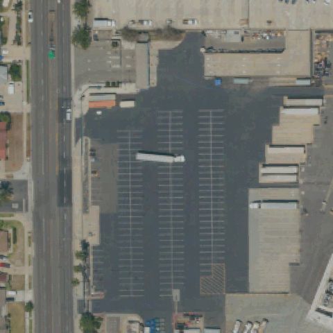
Large parking lot with standard lane markings, no helipad visible at center.

92% confidence Verify on the map →
Is there really a pad here?
Aerial tile for 4CL1Not visible

4CL1 Lyon

RANCHO SANTA MARGARITA, CA

33.612666667, -117.591347222

Grassy estate with pool and tennis court, no helipad visible at center.

88% confidence Verify on the map →
Is there really a pad here?
Aerial tile for CN46Not visible

CN46 The McConnell Foundation

REDDING, CA

40.5982805560001, -122.332288889

Dry open grassy field with scattered trees, no helipad markings visible at center.

85% confidence Verify on the map →
Is there really a pad here?
Aerial tile for 0CL9Not visible

0CL9 Sce San Jacinto Valley Service Center

ROMOLAND, CA

33.7410444440001, -117.158555556

Industrial storage yard with utility equipment, no helipad markings visible at center.

90% confidence Verify on the map →
Is there really a pad here?
Aerial tile for 3CL9Not visible

3CL9 Sce Northern Division

SAN BUENAVENTURA, CA

34.286430556, -119.170652778

Open industrial/commercial area with no helipad markings visible at center.

85% confidence Verify on the map →
Is there really a pad here?
Aerial tile for 83LNot visible

83L Southeast Superior Court

NORWALK, CA

33.914527778, -118.071666667

Plain building roof visible at center with no helipad markings visible.

88% confidence Verify on the map →
Is there really a pad here?
Aerial tile for PAINot visible

PAI Barton

PACOIMA, CA

34.2585444440001, -118.407072222

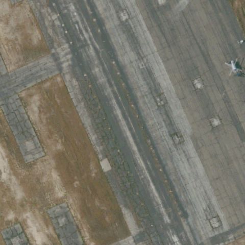
Airport-style concrete apron with helicopters parked but no dedicated marked helipad visible at image center.

70% confidence Verify on the map →
Is there really a pad here?
Aerial tile for 80CNNot visible

80CN Pine Valley Border Patrol Station

PINE VALLEY, CA

32.715833333, -116.45

Flat gravel/dirt pad area visible but no clear helipad markings at image center.

72% confidence Verify on the map →
Is there really a pad here?
Aerial tile for 72CANot visible

72CA Quincy Helitack Base

QUINCY, CA

39.973388889, -120.939555556

Rural forested area with small structures, no clear helipad marking visible at image center.

72% confidence Verify on the map →
Is there really a pad here?
Aerial tile for CA91Not visible

CA91 Quinn

RIVERSIDE, CA

34.008055556, -117.343797222

Open grass/dirt area with no helipad markings visible at image center.

88% confidence Verify on the map →
Is there really a pad here?
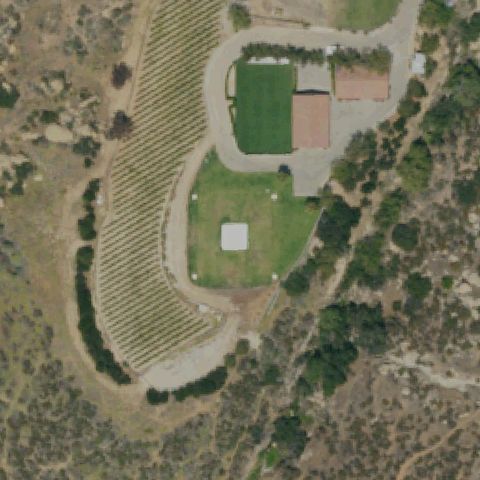
Aerial tile for 7CA9Not visible

7CA9 River Meadow Farm

RUTHERFORD, CA

38.4626666670001, -122.414666667

Rural farm with vineyards and structures, no helipad visible at image center.

85% confidence Verify on the map →
Is there really a pad here?
Aerial tile for CL39Not visible

CL39 Napa County Fire Dept

ST HELENA, CA

38.5486351390001, -122.511087222

Agricultural/vineyard area with no helipad markings visible at image center.

88% confidence Verify on the map →
Is there really a pad here?
Aerial tile for CA47Not visible

CA47 San Diego Police Headquarters

SAN DIEGO, CA

32.715333333, -117.150555556

Building rooftop with construction nearby, no clear helipad marking visible at image center.

78% confidence Verify on the map →
Is there really a pad here?
Aerial tile for 16CANot visible

16CA Police Pistol Range

SAN FRANCISCO, CA

37.719972222, -122.499136111

Green area near water with small concrete structure but no helipad markings visible at center.

80% confidence Verify on the map →
Is there really a pad here?
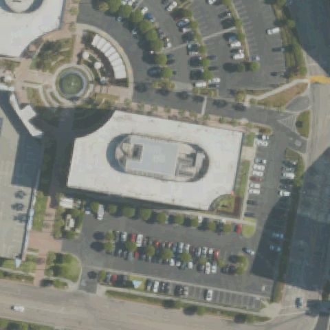
Aerial tile for CA26Not visible

CA26 Hall of Justice

SAN FRANCISCO, CA

37.775091667, -122.404277778

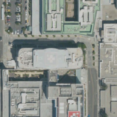
Large flat rooftop structure at center but no helipad markings or circle/H visible.

75% confidence Verify on the map →
Is there really a pad here?
Aerial tile for CA27Not visible

CA27 Alcatraz

SAN FRANCISCO, CA

37.825922222, -122.421469444

Alcatraz island center shows cleared/paved areas but no helipad touchdown markings visible.

72% confidence Verify on the map →
Is there really a pad here?
Aerial tile for CA52Not visible

CA52 Ports O'call

SAN PEDRO, CA

33.7321019440001, -118.276043056

Waterfront concrete pier area with no helipad markings visible at center.

78% confidence Verify on the map →
Is there really a pad here?
Aerial tile for CA43Not visible

CA43 Barton Meml Hospital

SOUTH LAKE TAHOE, CA

38.9112777780001, -119.996861111

Hospital campus rooftops visible at center but no helipad markings or dedicated pad area visible.

70% confidence Verify on the map →
Is there really a pad here?
Aerial tile for 1CA9Not visible

1CA9 Los Angeles County Fire Department

THOUSAND OAKS, CA

34.0836, -118.863202778

Scrubland and chaparral terrain at center with no helipad structure or markings visible.

80% confidence Verify on the map →
Is there really a pad here?
Aerial tile for 2CA0Not visible

2CA0 Ash Mountain

THREE RIVERS, CA

36.486952778, -118.840005556

Forested and scrubland terrain with dirt roads at center; no helipad structure or markings visible.

82% confidence Verify on the map →
Is there really a pad here?
Aerial tile for CA83Not visible

CA83 Gilbert Aviation

VISALIA, CA

36.443211111, -119.316075

Desert/scrubland area with industrial structures but no helipad markings visible at image center.

72% confidence Verify on the map →
Is there really a pad here?
Aerial tile for CL83Not visible

CL83 Joe Heidrick

WOODLAND, CA

38.6660277780001, -121.824213889

Agricultural orchard area with small industrial compound at center; no helipad markings visible.

78% confidence Verify on the map →
Is there really a pad here?
Aerial tile for 6CA3Not visible

6CA3 Catalina Air-Sea Trml

SAN PEDRO, CA

33.7487194440001, -118.275069444

Waterfront concrete pads visible at center but appear to be boat slips/dock infrastructure with no helipad markings.

72% confidence Verify on the map →
Is there really a pad here?
Aerial tile for CA65Not visible

CA65 Alta Vista

WATSONVILLE, CA

36.970413889, -121.862469444

Wooded hillside and rural area at center with no visible helicopter pad or markings.

70% confidence Verify on the map →
Is there really a pad here?
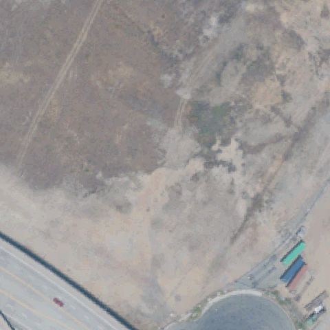
Aerial tile for CN18Not visible

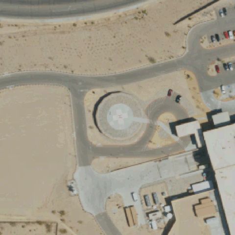
CN18 San Bernardino Community Hospital

SAN BERNARDINO, CA

34.130694444, -117.321666667

Center of image shows a circular road roundabout with no helipad markings; no landing pad visible.

80% confidence Verify on the map →
Is there really a pad here?
Aerial tile for 40CLNot visible

40CL Joby Aero, Inc

SANTA CRUZ, CA

37.023317917, -122.156677778

Open dry terrain with dirt tracks but no helipad markings or prepared surface visible at image center.

85% confidence Verify on the map →
Is there really a pad here?
Aerial tile for 1CN6Not visible

1CN6 Btnw Ppr

AZUSA, CA

34.281944444, -117.749722222

Steep mountainous forested terrain with no helipad or prepared surface visible at center.

85% confidence Verify on the map →
Is there really a pad here?
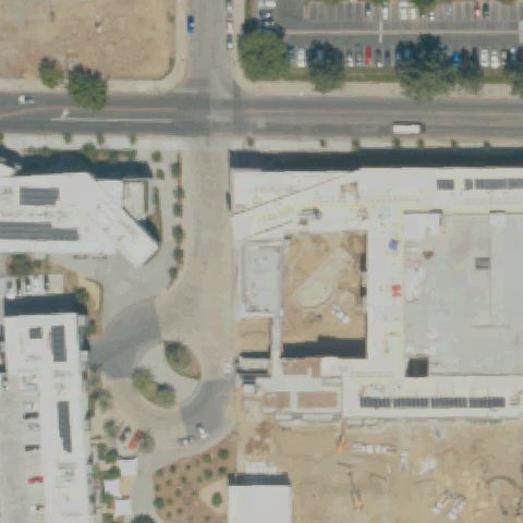
Aerial tile for CA48Not visible

CA48 Onelegacy Helistop

AZUSA, CA

34.1288555560001, -117.927658333

Active construction site at center with no helipad markings; diamond X pattern in lower right corner appears to be a decorative plaza feature not a helipad.

70% confidence Verify on the map →
Is there really a pad here?
Aerial tile for CN40Not visible

CN40 Roosevelt Ranch

WOODLAND, CA

38.8125055560001, -121.81185

Rural property with scattered outbuildings but no helipad markings or prepared pad visible at center.

80% confidence Verify on the map →
Is there really a pad here?
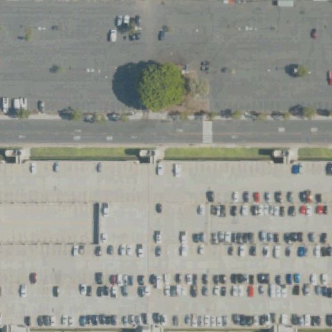
Aerial tile for CL18Not visible

CL18 Big Dalton Dam Emergency

GLENDORA, CA

34.1677361110001, -117.811244444

Mountain dam access road with no helipad markings or prepared landing surface visible at image center.

85% confidence Verify on the map →
Is there really a pad here?
Aerial tile for CL88Not visible

CL88 San Dimas Dam Emergency

LA VERNE, CA

34.154105556, -117.771277778

Mountain road near dam crest with no helipad markings or prepared surface visible at image center.

85% confidence Verify on the map →
Is there really a pad here?
Aerial tile for CN50Not visible

CN50 Rady Children's Hospital Cul-De-Sac

SAN DIEGO, CA

32.7959611110001, -117.150758333

Center of image is a brushy hillside road intersection with no helipad visible; hospital buildings are at top edge.

80% confidence Verify on the map →
Is there really a pad here?
Aerial tile for CN10Not visible

CN10 Harbor Ucla Med Center Interim West

TORRANCE, CA

33.828386111, -118.297388889

Image center shows a surface parking lot with no helipad markings; no landing pad visible near the hospital.

75% confidence Verify on the map →
Is there really a pad here?
Aerial tile for 1CA8Not visible

1CA8 Adin Helicopter Base

ADIN, CA

41.1894083330001, -120.940952778

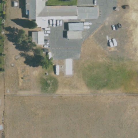
Rural farm complex with buildings and open fields but no helipad markings visible; may be a grass landing area but nothing is clearly marked.

70% confidence Verify on the map →
Is there really a pad here?
Aerial tile for CA45Not visible

CA45 Sutter Davis Hospital

DAVIS, CA

38.5615472220001, -121.770805556

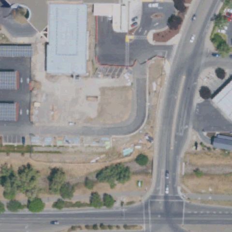
Image center shows a bare construction or graded lot with no helipad markings visible.

75% confidence Verify on the map →
Is there really a pad here?
Aerial tile for CL73Not visible

CL73 Anaheim Convention Center

ANAHEIM, CA

33.8002638890001, -117.923366667

Large convention center parking lot at center with no helipad markings visible.

85% confidence Verify on the map →
Is there really a pad here?
Aerial tile for 47CNNot visible

47CN Old Canal Helipad

IGO, CA

40.4908790000001, -122.639415

Remote desert scrubland with dirt tracks and a small structure; no helipad markings or prepared pad visible at center.

80% confidence Verify on the map →
Is there really a pad here?
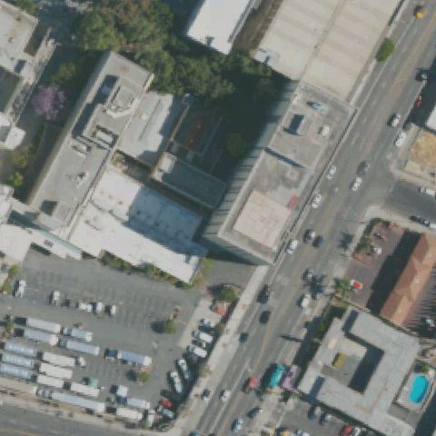
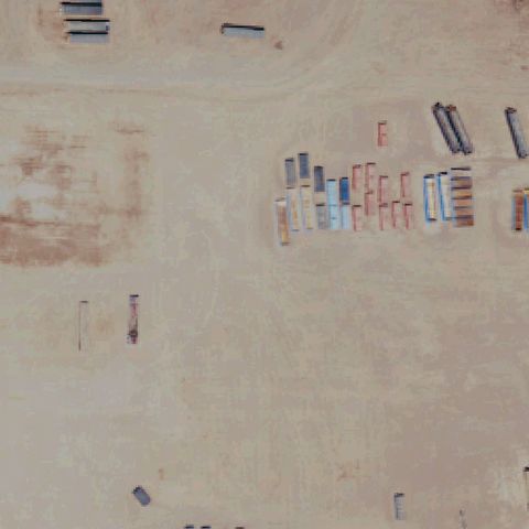
Aerial tile for CN70Not visible

CN70 Calenergy Salton Sea

CALIPATRIA, CA

33.1522694440001, -115.635525

Desert industrial area with shipping containers but no helipad markings visible at image center.

75% confidence Verify on the map →
Is there really a pad here?
Aerial tile for 7CL0Not visible

7CL0 Childrens Hospital Oakland Alternate

OAKLAND, CA

37.8215250000001, -122.295958333

Hilly undeveloped terrain at image center with no helipad or prepared landing surface visible.

80% confidence Verify on the map →
Is there really a pad here?
Aerial tile for CL59Off-center

CL59 Camp 11

AGUA DULCE, CA

34.4381222220001, -118.287758333

Two red circular touchdown markers visible on dirt/gravel pad, slightly southwest of image center.

72% confidence Verify on the map →
Is there really a pad here?
Aerial tile for CN28Off-center

CN28 Big Creek Helistop

BIG CREEK, CA

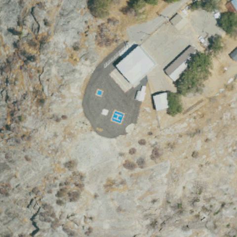
37.2008805560001, -119.252927778

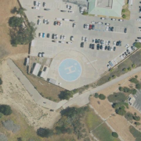
Bright blue H on dark asphalt round pad clearly visible, pad is slightly left of image center.

98% confidence Verify on the map →
Is there really a pad here?
Aerial tile for 6CN5Off-center

6CN5 Los Altos

CITY OF INDUSTRY, CA

34.0555277780001, -117.992638889

Small circular helipad marking visible on industrial rooftop area, slightly off center of image.

72% confidence Verify on the map →
Is there really a pad here?
Aerial tile for 91CAOff-center

91CA Devers Substation

DESERT HOT SPRINGS, CA

33.9399194440001, -116.574861111

A small square helipad with marking visible in the upper-right area of image, not at the center which shows a large white industrial roof.

88% confidence Verify on the map →
Is there really a pad here?
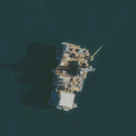
Aerial tile for 2CA5Off-center

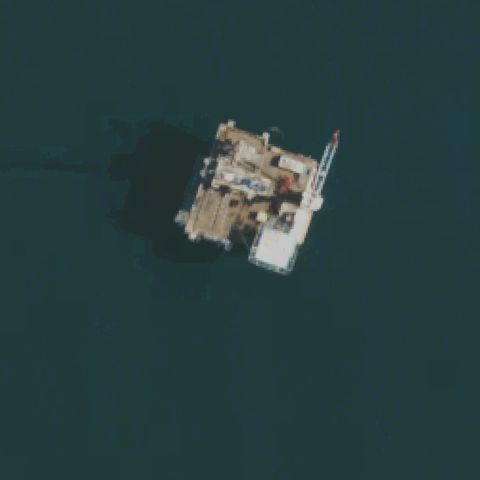
2CA5 Platform Emmy

HUNTINGTON BEACH, CA

33.6623247220001, -118.044505833

Offshore oil platform with a helipad visible at the lower portion of the platform structure; the platform is offset from image center.

93% confidence Verify on the map →
Is there really a pad here?
Aerial tile for 9CL8Off-center

9CL8 Dcor Platform Eva

HUNTINGTON BEACH, CA

33.6616861110001, -118.062006667

Offshore oil platform with a white square helipad visible at the right side of the small platform; platform is near center but pad is slightly off.

85% confidence Verify on the map →
Is there really a pad here?
Aerial tile for 03CAOff-center

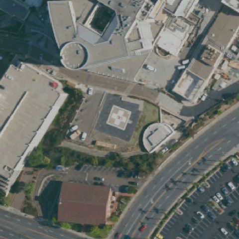
03CA Grossmont Hospital

LA MESA, CA

32.7794527780001, -117.006941667

Rooftop helipad with H marking and circle visible on hospital wing, slightly off center toward lower portion.

93% confidence Verify on the map →
Is there really a pad here?
Aerial tile for 94CLOff-center

94CL Loma Linda University Medical Center

LOMA LINDA, CA

34.0494694440001, -117.263730556

Two rooftop helipad circles with H markings visible; primary pad is slightly right of center on the complex rooftop.

92% confidence Verify on the map →
Is there really a pad here?
Aerial tile for 6CA0Off-center

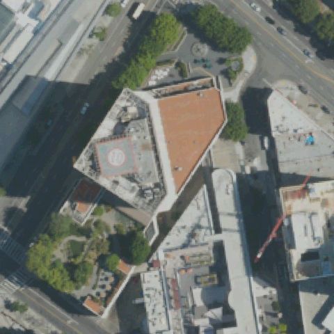
6CA0 Hotel New Otani Los Angeles

LOS ANGELES, CA

34.0506583330001, -118.242488889

Rooftop H marking inside circle visible on building roof but positioned off-center toward upper left of image.

88% confidence Verify on the map →
Is there really a pad here?
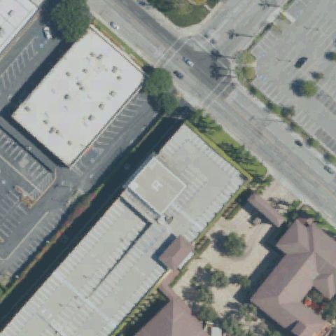
Aerial tile for 70CAOff-center

70CA The Wilshire Thayer

LOS ANGELES, CA

34.062625, -118.432488889

Rooftop H marking in circle visible on building, slightly left of center.

87% confidence Verify on the map →
Is there really a pad here?
Aerial tile for 4CA0Off-center

4CA0 Lapd Hooper

LOS ANGELES, CA

34.044025, -118.247325

Ground pad with circle marking visible on paved area, positioned slightly off center.

82% confidence Verify on the map →
Is there really a pad here?
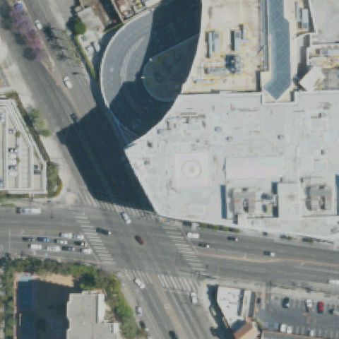
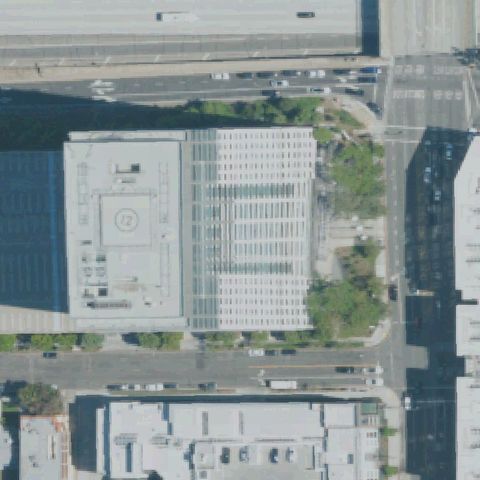
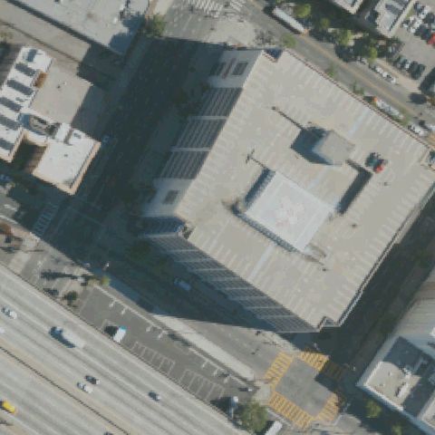
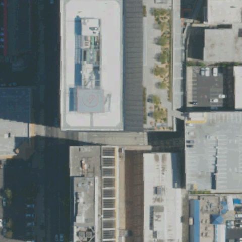
Aerial tile for CN25Off-center

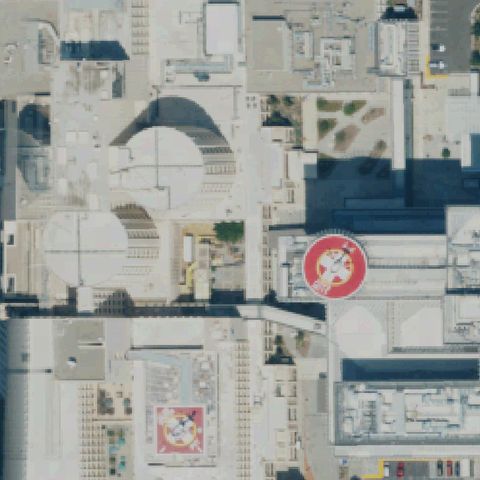
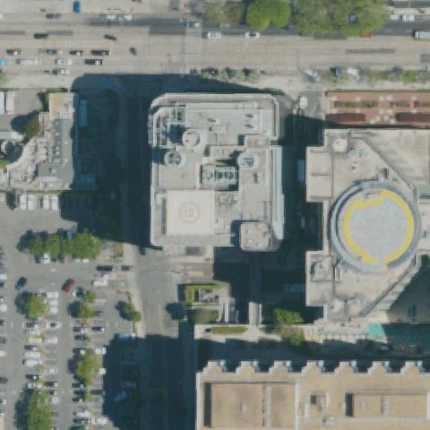
CN25 The Westin Bonaventure Hotel

LOS ANGELES, CA

34.0528972220001, -118.255907222

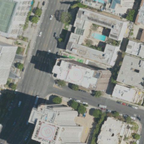
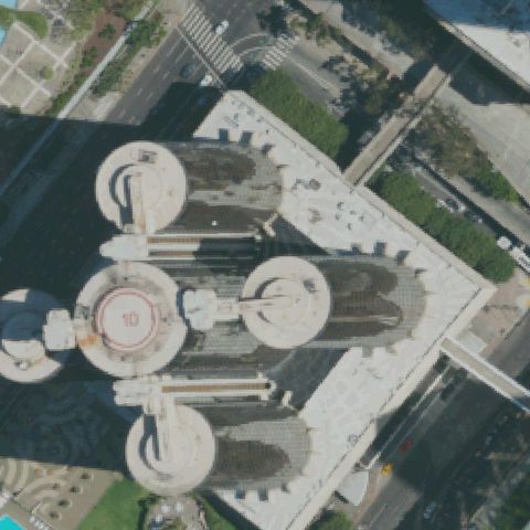
Rooftop pad with number 10 and circle visible on cylindrical tower roof, positioned left of center.

85% confidence Verify on the map →
Is there really a pad here?
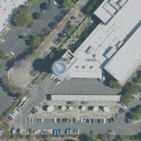
Aerial tile for 22CNOff-center

22CN Abc-Tv

LOS ANGELES, CA

34.103469444, -118.279363889

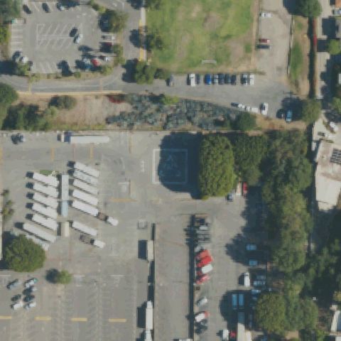
Small square-marked pad visible in parking/truck depot area, slightly off-center upper right area.

75% confidence Verify on the map →
Is there really a pad here?
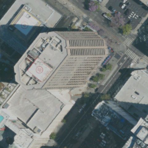
Aerial tile for CL49Off-center

CL49 Intl Tower

LOS ANGELES, CA

34.0465583330001, -118.261966667

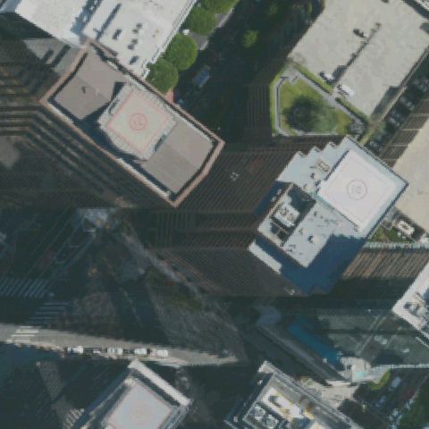
Two rooftop helipads with circle markings visible on adjacent tower buildings; primary pad slightly left of center.

90% confidence Verify on the map →
Is there really a pad here?
Aerial tile for 43LOff-center

43L Van Nuys County Court

LOS ANGELES, CA

34.1833333330001, -118.446666667

Rooftop circle marker visible on lower building but slightly south of image center.

88% confidence Verify on the map →
Is there really a pad here?
Aerial tile for 55CNOff-center

55CN Sunset-Glendale

LOS ANGELES, CA

34.0776611110001, -118.261191667

Ground/rooftop level pad with H marker visible right of center; blue H on light surface clearly legible.

88% confidence Verify on the map →
Is there really a pad here?
Aerial tile for CN39Off-center

CN39 Operating Engineers Pension Trust Bldg

LOS ANGELES, CA

34.0624111110001, -118.287969444

Rooftop circle pad visible on lower building, slightly south of image center.

87% confidence Verify on the map →
Is there really a pad here?
Aerial tile for 84CAOff-center

84CA Beverly Center

LOS ANGELES, CA

34.073822222, -118.377619444

Rooftop circle pad visible on mall roof slightly right of center; the large Beverly Center mall complex.

85% confidence Verify on the map →
Is there really a pad here?
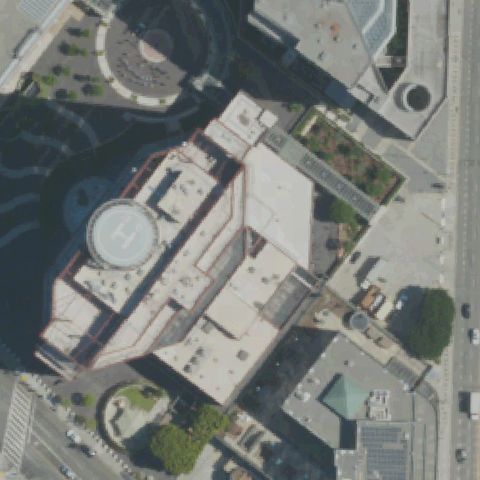
Aerial tile for CL08Off-center

CL08 Biltmore Hotel

LOS ANGELES, CA

34.0493277780001, -118.253669444

Red-bordered square rooftop pad with circle visible in upper-left corner of Biltmore Hotel, off center.

88% confidence Verify on the map →
Is there really a pad here?
Aerial tile for 3CL7Off-center

3CL7 Oca

LOS ANGELES, CA

34.0363750000001, -118.443830556

Green rooftop pad with white H marking visible on right-side building, offset from image center.

95% confidence Verify on the map →
Is there really a pad here?
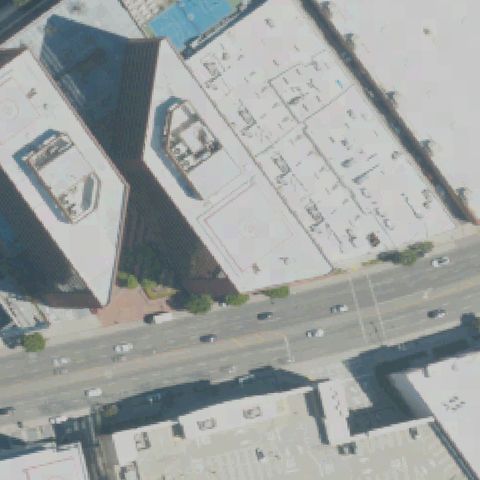
Aerial tile for 2CA6Off-center

2CA6 K & T 660 Figueroa Partners

LOS ANGELES, CA

34.0494194440001, -118.259458333

Rooftop circle pad visible on left-side building; slightly off center toward lower-left of image.

90% confidence Verify on the map →
Is there really a pad here?
Aerial tile for 9CL6Off-center

9CL6 Valley Children's Hospital

MADERA, CA

36.8824326390001, -119.800562694

Ground-level circular pad with red H cross clearly visible; pad is right of center, FAA coordinate slightly off.

97% confidence Verify on the map →
Is there really a pad here?
Aerial tile for 1CL4Off-center

1CL4 Uci Medical Center

ORANGE, CA

33.7885694440001, -117.890438889

Ground-level circular pad with red H marking visible; pad is right of center road/image center.

95% confidence Verify on the map →
Is there really a pad here?
Aerial tile for 98LOff-center

98L Pomona Police Dept

POMONA, CA

34.051872222, -117.792002778

Square concrete pad with triangle/H marking visible in lower-left quadrant of frame, not at image center.

85% confidence Verify on the map →
Is there really a pad here?
Aerial tile for CA78Off-center

CA78 City Hall

RIVERSIDE, CA

33.98065, -117.37575

Rooftop helipad with H marking visible, positioned slightly right of image center on the building roof.

92% confidence Verify on the map →
Is there really a pad here?
Aerial tile for CL95Off-center

CL95 County Headquarters Bldg

SAN BERNARDINO, CA

34.103088889, -117.271841667

Two circular pads with H markings visible on ground, positioned slightly off image center.

88% confidence Verify on the map →
Is there really a pad here?
Aerial tile for 2CN7Off-center

2CN7 Qualcomm Building N

SAN DIEGO, CA

32.896216667, -117.195994444

Rooftop circular marking visible slightly off-center toward upper portion of building complex.

75% confidence Verify on the map →
Is there really a pad here?
Aerial tile for CA31Off-center

CA31 Sanger

SANGER, CA

36.732361111, -119.554444444

Small concrete pad with faint H marking visible slightly off-center in the compound area.

70% confidence Verify on the map →
Is there really a pad here?
Aerial tile for 1CA3Off-center

1CA3 G S A Laguna Niguel G/L Helistop

SOUTH LAGUNA BEACH, CA

33.5614027780001, -117.715336111

Circular concrete pad visible off-center (upper area) with approach pathway; center image shows grass field without markings.

78% confidence Verify on the map →
Is there really a pad here?
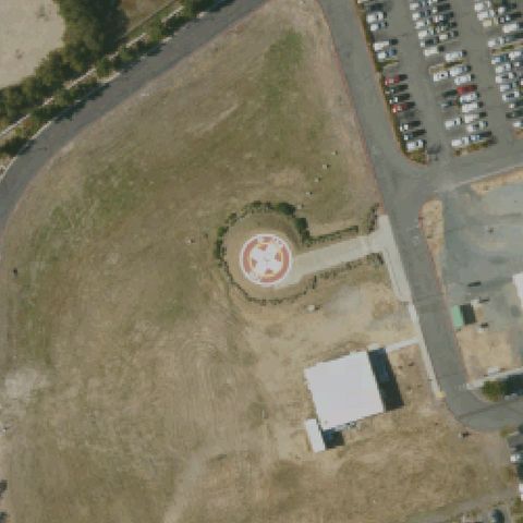
Aerial tile for 18CAOff-center

18CA Twin Cities Community Hospital

TEMPLETON, CA

35.5560333330001, -120.719013889

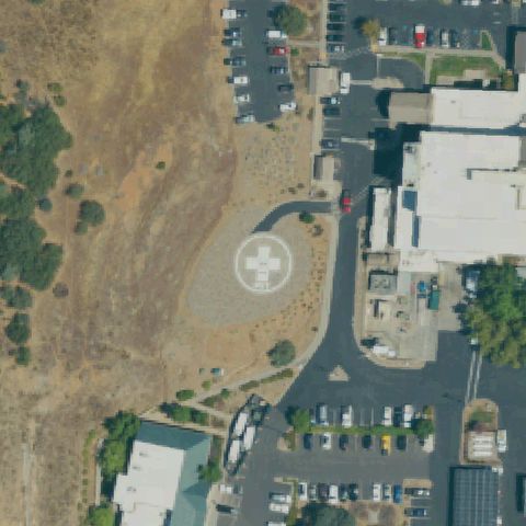
Ground-level concrete pad with large white cross clearly visible; pad is slightly below image center.

92% confidence Verify on the map →
Is there really a pad here?
Aerial tile for CA63Off-center

CA63 John Muir Walnut Creek Medical Center

WALNUT CREEK, CA

37.9127777780001, -122.041666667

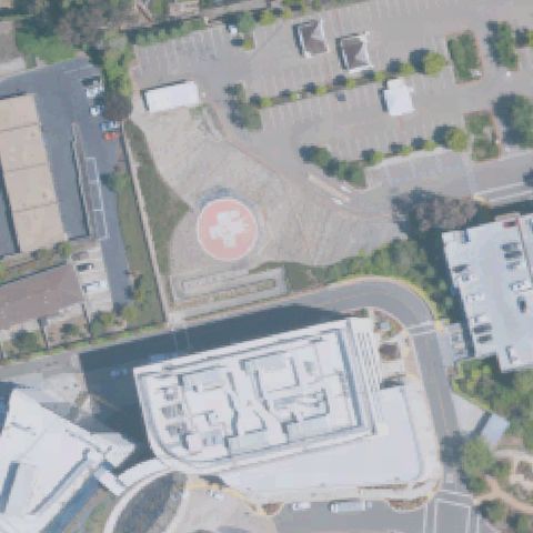
Rooftop with prominent red circle and white cross/H helipad marking clearly visible; pad is slightly off center from overall building complex.

95% confidence Verify on the map →
Is there really a pad here?
Aerial tile for CA33Off-center

CA33 County Medical Center

SAN JOSE, CA

37.3132555560001, -121.934355556

Hospital campus rooftop with white cross pad marking visible; pad is off-center from the overall image center.

88% confidence Verify on the map →
Is there really a pad here?
Aerial tile for CL79Off-center

CL79 Sce Tiffany Pines

SHAVER LAKE, CA

37.1171944440001, -119.313277778

Scrubland area with small white square marking visible slightly off-center; low confidence due to faint markings and remote terrain.

55% confidence Verify on the map →
Is there really a pad here?
Aerial tile for CL22Off-center

CL22 Sheriff's Station

VALENCIA, CA

34.4157222220001, -118.551361111

Rooftop H visible on upper building in the image; center of image is a parking lot, pad is off-center to upper portion.

82% confidence Verify on the map →
Is there really a pad here?
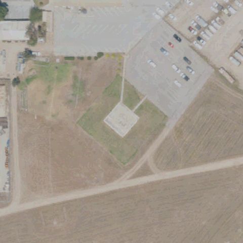
Aerial tile for 3CA3Off-center

3CA3 Behring Ranch

COLUSA, CA

39.341311111, -121.950933333

White square concrete pad visible slightly south of image center in an agricultural field near a ranch structure.

82% confidence Verify on the map →
Is there really a pad here?
Aerial tile for 93CNOff-center

93CN Ucsd Jacobs Medical Center Rooftop

LA JOLLA, CA

32.877638889, -117.226555556

Rooftop H pad clearly visible but is left of image center; center of image is an open rooftop area.

92% confidence Verify on the map →
Is there really a pad here?
Aerial tile for 11CNOff-center

11CN Shasta Rgnl Medical Center

REDDING, CA

40.585555556, -122.387777778

Two H pads visible on rooftop complex at top and bottom of image; center shows blank rooftop so pad is off-center.

87% confidence Verify on the map →
Is there really a pad here?
Aerial tile for CN48Off-center

CN48 St Joseph's Medical Center

STOCKTON, CA

37.9701988890001, -121.287860611

Rooftop H marking visible on hospital complex but center of image shows blank hospital roof area; pad is off-center.

80% confidence Verify on the map →
Is there really a pad here?
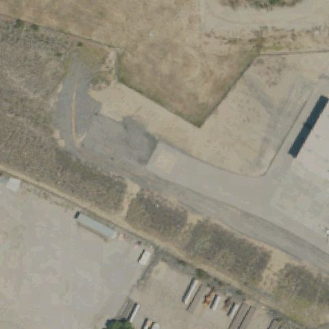
Aerial tile for LDROff-center

LDR USCG San Diego

SAN DIEGO, CA

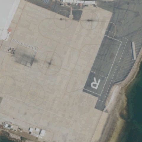
32.726471889, -117.180990194

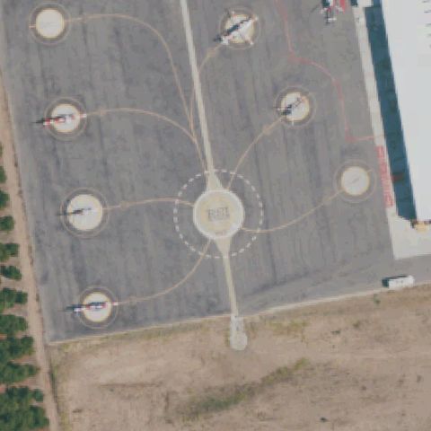
Multiple helipad circles and a large R number marking visible on USCG ramp surface; pad area is slightly off center toward right edge.

97% confidence Verify on the map →
Is there really a pad here?
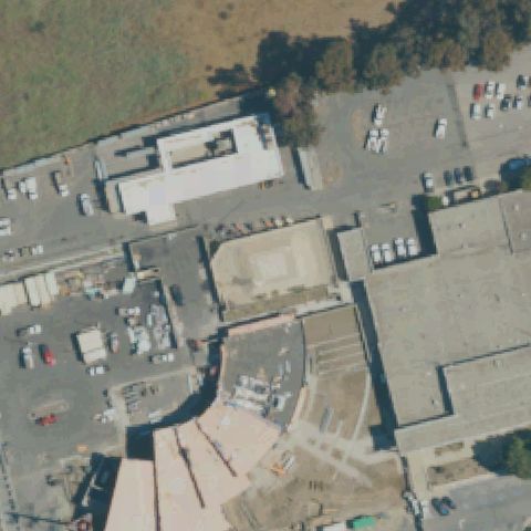
Aerial tile for 19CAOff-center

19CA Henry Mayo Newhall Meml Hospital

VALENCIA, CA

34.3988583330001, -118.552575

H cross marking visible on hospital rooftop at right edge of image; FAA coordinate appears to be off-center from the actual pad.

80% confidence Verify on the map →
Is there really a pad here?
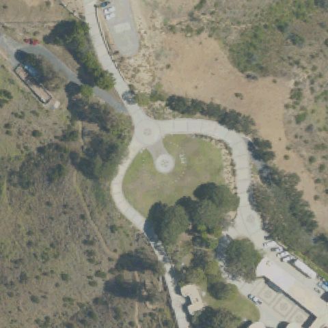
Aerial tile for CA36Off-center

CA36 Mills Peninsula Medical Center

BURLINGAME, CA

37.5918194440001, -122.383825

H circle marking on a raised concrete pad visible slightly below center in hospital parking lot area.

85% confidence Verify on the map →
Is there really a pad here?
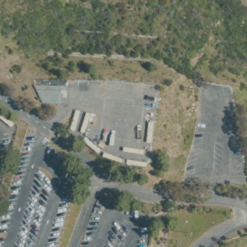
Aerial tile for CL48Off-center

CL48 Santa Anita Dam Emergency

MONROVIA, CA

34.1838888890001, -118.020555556

Small concrete circle pad visible near the dam crest area slightly below center; consistent with an emergency helipad at a dam facility.

75% confidence Verify on the map →
Is there really a pad here?
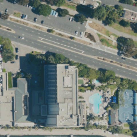
Aerial tile for CN57Off-center

CN57 Pg&e Hta-Madera

MADERA, CA

36.856761111, -119.918830556

Small square concrete pad visible slightly below center in desert setting; consistent with a utility helipad but no H marking visible.

72% confidence Verify on the map →
Is there really a pad here?
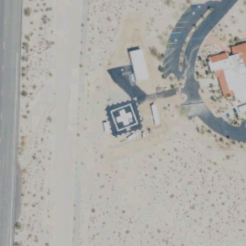
Aerial tile for 43CAOff-center

43CA Borrego Medical Center

BORREGO SPRINGS, CA

33.193658333, -116.329661111

Clear white H marking inside square touchdown zone on dark asphalt pad visible slightly left of center near medical facility.

95% confidence Verify on the map →
Is there really a pad here?
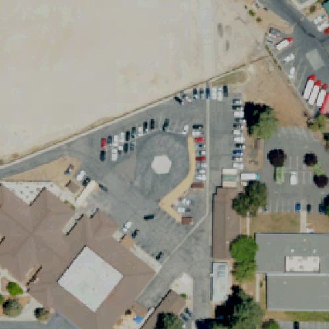
Aerial tile for CN45Uncertain

CN45 Bear Valley Hospital

BIG BEAR LAKE, CA

34.2468805560001, -116.887902778

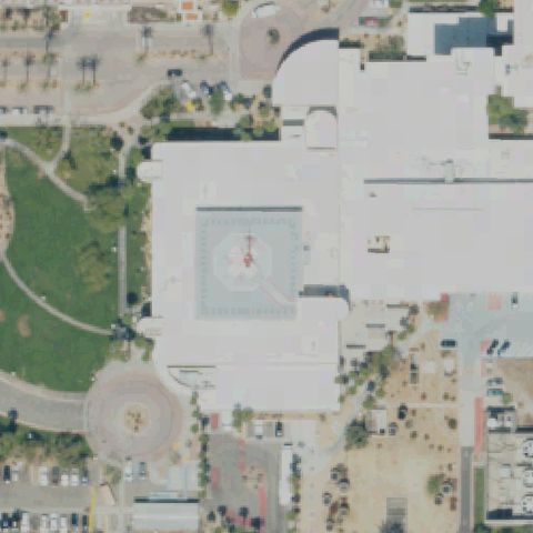
Parking lot with octagonal roundabout marking at center but no H or helipad touchdown markings.

65% confidence Verify on the map →
Is there really a pad here?
Aerial tile for CL89Uncertain

CL89 Mga Chatsworth

CHATSWORTH, CA

34.238830556, -118.569502778

Active construction site at image center with a possible circular area but no definitive helipad markings.

55% confidence Verify on the map →
Is there really a pad here?
Aerial tile for 7CL2Uncertain

7CL2 Rogers Helicopters Inc

CLOVIS, CA

36.8240277780001, -119.667583333

Open sandy/dirt area with oval track visible at center but no distinct helipad H or circle markings.

68% confidence Verify on the map →
Is there really a pad here?
Aerial tile for 33CNUncertain

33CN Platform Hillhouse

CARPINTERIA, CA

34.331111111, -119.604305556

Image is blank/white with no visible content, possibly obscured by clouds or missing imagery; cannot confirm pad.

50% confidence Verify on the map →
Is there really a pad here?
Aerial tile for 8CA7Uncertain

8CA7 Platform Henry

CARPINTERIA, CA

34.333055556, -119.561222222

Image is blank/white with no visible content, likely over ocean with missing NAIP imagery; cannot confirm pad.

50% confidence Verify on the map →
Is there really a pad here?
Aerial tile for 49CAUncertain

49CA Dcor Platform Habitat

CARPINTERIA, CA

34.2866666670001, -119.589

Image is blank/white with no visible content, likely over ocean with missing NAIP imagery; cannot confirm pad.

50% confidence Verify on the map →
Is there really a pad here?
Aerial tile for 02CAUncertain

02CA Beta Platform Ellen

HUNTINGTON BEACH, CA

33.582694444, -118.129

Image is blank/white with no visible content, likely over ocean with missing NAIP imagery; cannot confirm offshore platform pad.

50% confidence Verify on the map →
Is there really a pad here?
Aerial tile for CL38Uncertain

CL38 Beta Platform Eureka

HUNTINGTON BEACH, CA

33.583383333, -118.128763889

Image is blank/white with no visible content, likely over ocean with missing NAIP imagery; cannot confirm offshore platform pad.

50% confidence Verify on the map →
Is there really a pad here?
Aerial tile for CA00Uncertain

CA00 Platform Hermosa

SANTA MARIA, CA

34.4556805560001, -120.647697222

Image is blank white - no aerial imagery available, likely offshore platform outside NAIP coverage.

50% confidence Verify on the map →
Is there really a pad here?
Aerial tile for CL68Uncertain

CL68 Platform Harvest

SANTA MARIA, CA

34.4691533330001, -120.6818375

Image is blank white - no aerial imagery available, likely offshore platform outside NAIP coverage.

50% confidence Verify on the map →
Is there really a pad here?
Aerial tile for CL67Uncertain

CL67 Platform Hidalgo

SANTA MARIA, CA

34.4949861110001, -120.7032275

Image is blank white - no aerial imagery available, likely offshore platform outside NAIP coverage.

50% confidence Verify on the map →
Is there really a pad here?
Aerial tile for JMCUncertain

JMC Commodore Center

SAUSALITO, CA

37.878555556, -122.512877778

Waterfront industrial area with paved surfaces but no helipad markings visible at image center.

65% confidence Verify on the map →
Is there really a pad here?
Aerial tile for CA58Uncertain

CA58 Emanuel Medical Center

TURLOCK, CA

37.5125944440001, -120.83925

Hospital complex rooftops visible at center but no clearly distinguishable helipad markings or dedicated pad.

65% confidence Verify on the map →
Is there really a pad here?
Aerial tile for CA98Uncertain

CA98 Platform Ocs P-0188 Hondo

SANTA BARBARA, CA

34.3907141670001, -120.121504722

Image is blank/white with no aerial imagery data; offshore oil platform location cannot be verified.

30% confidence Verify on the map →
Is there really a pad here?
Aerial tile for 8CL4Uncertain

8CL4 A G Spanos Companies Hq

STOCKTON, CA

38.0476444440001, -121.370191667

Large office building rooftop at center shows no visible H or landing markers; imagery may predate any helipad.

65% confidence Verify on the map →
Is there really a pad here?
Aerial tile for CL47Uncertain

CL47 Hoag

VALLEY CENTER, CA

33.2340083330001, -116.968633333

Hillside area with small structures and rocky terrain; no helicopter pad markings visible at or near center.

60% confidence Verify on the map →
Is there really a pad here?
Aerial tile for 0CA2Uncertain

0CA2 Va Greater Los Angeles Health Care Center

WEST LOS ANGELES, CA

34.0497222220001, -118.456111111

Large multi-building complex rooftop at center with no visible H or landing markers despite being a VA medical center.

60% confidence Verify on the map →
Is there really a pad here?
Aerial tile for 18CNUncertain

18CN Ucsf Medical Center At Mission Bay

SAN FRANCISCO, CA

37.7657750000001, -122.390358333

Urban area at center showing streets and buildings but no visible helicopter pad markings; imagery may predate construction.

55% confidence Verify on the map →
Is there really a pad here?
Aerial tile for 5CN5Uncertain

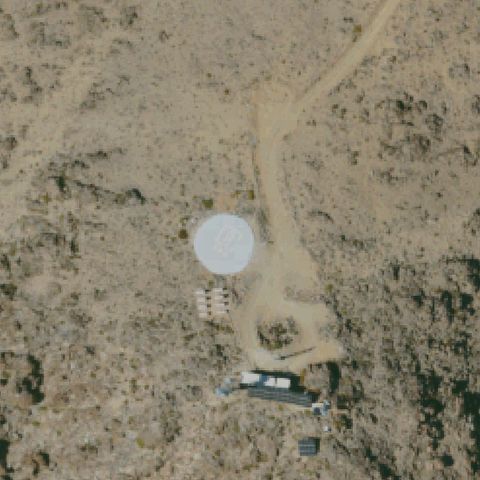
5CN5 Palmaz Ranch

TAYLORSVILLE, CA

40.036588889, -120.763475

Rural ranch area with concrete pad near a red-roofed barn but no H or helipad markings visible at center.

65% confidence Verify on the map →
Is there really a pad here?
Aerial tile for CA30Uncertain

CA30 Manclark Airway

COSTA MESA, CA

33.6750277780001, -117.873166667

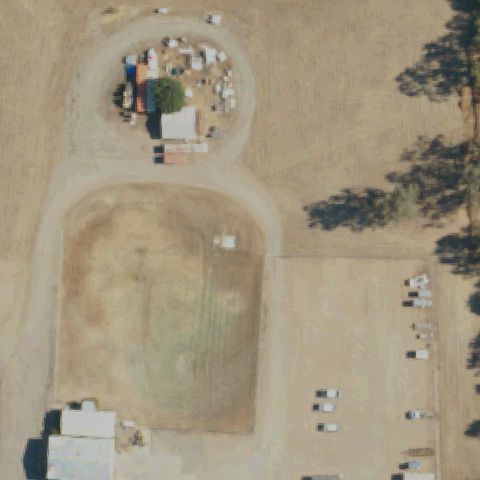
Airport-adjacent building rooftops visible at center with no H or helipad markings; aircraft visible on nearby taxiway.

65% confidence Verify on the map →
Is there really a pad here?
Aerial tile for 30CNUncertain

30CN Air Methods Barstow

BARSTOW, CA

34.894788889, -117.024808333

Appears to be a vacant/graded lot with faint circular tire tracks; no formal helipad markings visible, may predate installation.

65% confidence Verify on the map →
Is there really a pad here?
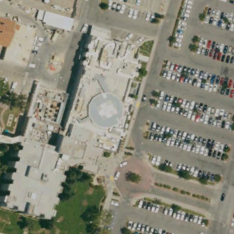
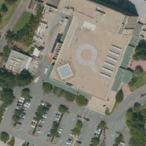
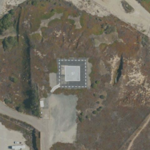
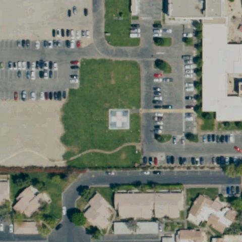
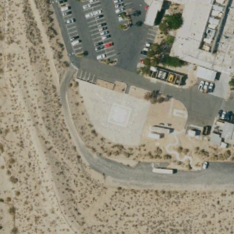
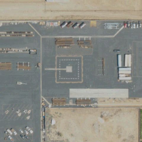
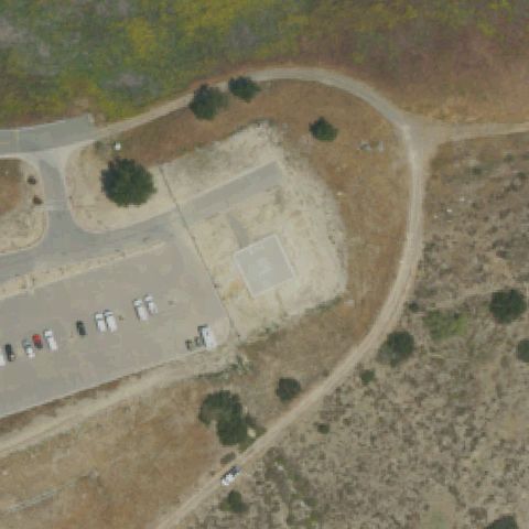
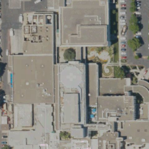
Aerial tile for 9CA9Confirmed

9CA9 Santa Fe Intl Corp

ALHAMBRA, CA

34.081413889, -118.15

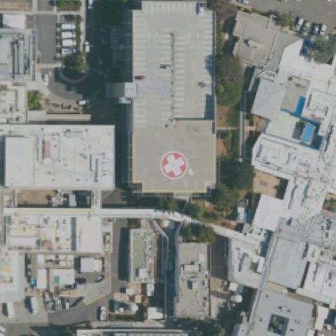
Large white H-cross marking clearly visible on flat rooftop at image center.

✓ Confirmed by AI vision with Claude Opus 4.8

95% confidence Verify on the map →
Is there really a pad here?
Aerial tile for CA08Confirmed

CA08 Sce Energy Control Center

ALHAMBRA, CA

34.0835000000001, -118.144163889

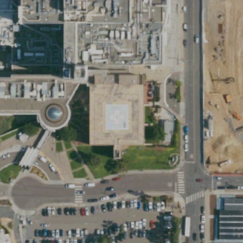
Clear circle with H touchdown pad on asphalt at image center with defined FATO square boundary.

✓ Confirmed by AI vision with Claude Opus 4.8

97% confidence Verify on the map →
Is there really a pad here?
Aerial tile for 3CN4Confirmed

3CN4 Kaiser Permanente Anaheim Medical Center

ANAHEIM, CA

33.851944444, -117.845316667

Large white cross/H marking on hospital rooftop pad clearly visible at image center.

✓ Confirmed by AI vision with Claude Opus 4.8

95% confidence Verify on the map →
Is there really a pad here?
Aerial tile for 8CA2Confirmed

8CA2 Auburn Cal Fire

AUBURN, CA

38.934087, -121.053766

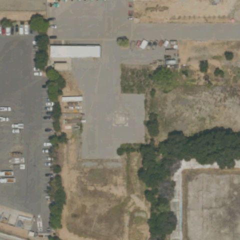
Prepared square concrete pad visible near image center in grassy area, no distinct H but clearly a landing pad.

✓ Confirmed by AI vision with Claude Opus 4.8

75% confidence Verify on the map →
Is there really a pad here?
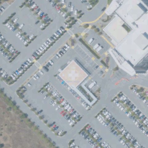
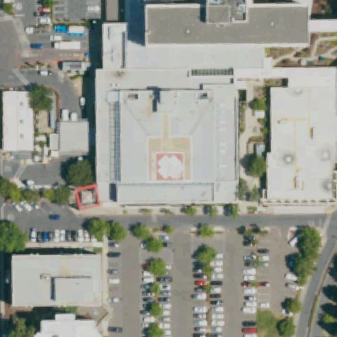
Aerial tile for CL61Confirmed

CL61 Kern Medical

BAKERSFIELD, CA

35.382416667, -118.969611111

Circle with H marking on concrete pad clearly visible at image center in hospital campus.

✓ Confirmed by AI vision with Claude Opus 4.8

92% confidence Verify on the map →
Is there really a pad here?
Aerial tile for 4CL7Confirmed

4CL7 Inyo County Sheriff Search & Rescue

BISHOP, CA

37.365694444, -118.367416667

Large H with square TLOF marking on dark asphalt pad very clearly visible at image center.

✓ Confirmed by AI vision with Claude Opus 4.8

97% confidence Verify on the map →
Is there really a pad here?
Aerial tile for 80CLConfirmed

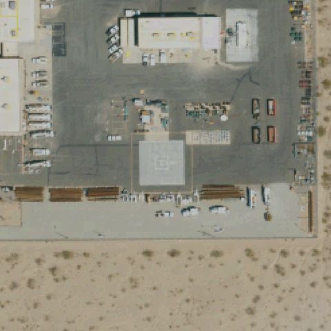
80CL Blythe Service Center

BLYTHE, CA

33.6049166670001, -114.602277778

H marking inside square FATO visible on asphalt pad at image center of service yard.

✓ Confirmed by AI vision with Claude Opus 4.8

88% confidence Verify on the map →
Is there really a pad here?
Aerial tile for 26CNConfirmed

26CN Vincent Substation

ACTON, CA

34.48675, -118.115897222

Square concrete pad with H marking clearly visible at image center next to road in desert setting.

✓ Confirmed by AI vision with Claude Opus 4.8

93% confidence Verify on the map →
Is there really a pad here?
Aerial tile for CA12Confirmed

CA12 Ipp Adelanto

ADELANTO, CA

34.548458333, -117.436330556

Circle with faint H visible on prepared concrete pad at image center next to solar farm.

✓ Confirmed by AI vision with Claude Opus 4.8

88% confidence Verify on the map →
Is there really a pad here?
Aerial tile for CN43Confirmed

CN43 Anaheim Canyon Tower

ANAHEIM, CA

33.859925, -117.850216667

Large rooftop helipad with circle and H marking clearly visible on blue roof at image center.

✓ Confirmed by AI vision with Claude Opus 4.8

97% confidence Verify on the map →
Is there really a pad here?
Aerial tile for 79CAConfirmed

79CA St Mary Desert Valley Hospital

APPLE VALLEY, CA

34.5432222220001, -117.264475

Square white pad with H cross marking clearly visible on asphalt apron at image center.

✓ Confirmed by AI vision with Claude Opus 4.8

93% confidence Verify on the map →
Is there really a pad here?
Aerial tile for CL91Confirmed

CL91 Auberry Hydro Service Center

AUBERRY, CA

37.065555556, -119.484138889

Square concrete pad with helicopter symbol/H marking visible at image center surrounded by circular driveway.

✓ Confirmed by AI vision with Claude Opus 4.8

90% confidence Verify on the map →
Is there really a pad here?
Aerial tile for 7CA5Confirmed

7CA5 Balch Camp

BALCH CAMP, CA

36.9065833330001, -119.128472222

Helicopter parked on square asphalt pad at center with windcone visible nearby.

✓ Confirmed by AI vision with Claude Opus 4.8

92% confidence Verify on the map →
Is there really a pad here?
Aerial tile for 60CNConfirmed

60CN San Gorgonio Meml Hospital

BANNING, CA

33.930775, -116.942861111

Circle with H marking on ground-level concrete pad clearly visible at image center.

✓ Confirmed by AI vision with Claude Opus 4.8

90% confidence Verify on the map →
Is there really a pad here?
Aerial tile for CL17Confirmed

CL17 Barstow Community Hosp

BARSTOW, CA

34.8925444440001, -117.017802778

Clear circle with H marking on concrete pad visible at image center next to hospital.

✓ Confirmed by AI vision with Claude Opus 4.8

95% confidence Verify on the map →
Is there really a pad here?
Aerial tile for 5CA2Confirmed

5CA2 Ord Mountain

BARSTOW, CA

34.675416667, -116.815333333

White circle marking on prepared desert pad visible at image center with road access.

✓ Confirmed by AI vision with Claude Opus 4.8

88% confidence Verify on the map →
Is there really a pad here?
Aerial tile for 9CA1Confirmed

9CA1 Barstow Service Center

BARSTOW, CA

34.8751583330001, -116.995972222

Square pad with H marking clearly visible at image center in utility service yard.

✓ Confirmed by AI vision with Claude Opus 4.8

92% confidence Verify on the map →
Is there really a pad here?
Aerial tile for CN26Confirmed

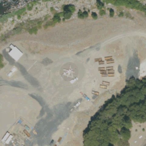
CN26 Rodgers Flat

BELDEN, CA

39.9620833330001, -121.277472222

Circular clearing with what appears to be a windcone or equipment at center; pad infrastructure visible on gravel.

✓ Confirmed by AI vision with Claude Opus 4.8

80% confidence Verify on the map →
Is there really a pad here?
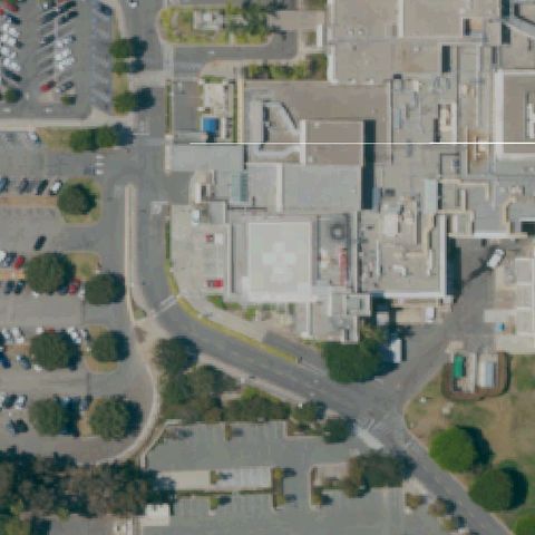
Aerial tile for 9CA2Confirmed

9CA2 Pioneers Meml Hospital

BRAWLEY, CA

32.9584444440001, -115.553083333

Clear circle with H marking on ground-level concrete pad at image center of hospital campus.

✓ Confirmed by AI vision with Claude Opus 4.8

95% confidence Verify on the map →
Is there really a pad here?
Aerial tile for CA95Confirmed

CA95 St Joseph Medical Center

BURBANK, CA

34.1552972220001, -118.3279

Large white H marking on hospital rooftop pad clearly visible near image center.

✓ Confirmed by AI vision with Claude Opus 4.8

97% confidence Verify on the map →
Is there really a pad here?
Aerial tile for CA01Confirmed

CA01 Burney Sheriff's Station

BURNEY, CA

40.8851250000001, -121.669419444

Square concrete pad visible in open field at image center with taxiway approach lines; no H but prepared pad.

✓ Confirmed by AI vision with Claude Opus 4.8

82% confidence Verify on the map →
Is there really a pad here?
Aerial tile for 34CLConfirmed

34CL Burney Service Center

BURNEY, CA

40.893425, -121.651402778

Faint H marking visible in the service yard paved area near center among utility vehicles.

✓ Confirmed by AI vision with Claude Opus 4.8

72% confidence Verify on the map →
Is there really a pad here?
Aerial tile for 05CAConfirmed

05CA Lost Hills Sheriff's Station

CALABASAS, CA

34.1365277780001, -118.714680556

Clear blue circle with H marking on concrete pad at image center in sheriff station parking area.

✓ Confirmed by AI vision with Claude Opus 4.8

97% confidence Verify on the map →
Is there really a pad here?
Aerial tile for 7L1Confirmed

7L1 Carson Sheriff Station

CARSON, CA

33.834327778, -118.262133333

Square outlined area with faint H-like marking in parking lot at image center; prepared helipad.

✓ Confirmed by AI vision with Claude Opus 4.8

75% confidence Verify on the map →
Is there really a pad here?
Aerial tile for 0CA1Confirmed

0CA1 Sutter Medical Center Castro Valley

CASTRO VALLEY, CA

37.698888889, -122.089166667

Very prominent red circle with large white cross/H at image center on ground-level pad.

✓ Confirmed by AI vision with Claude Opus 4.8

98% confidence Verify on the map →
Is there really a pad here?
Aerial tile for 39CAConfirmed

39CA Sce Palm Springs District

CATHEDRAL CITY, CA

33.786577778, -116.464413889

H marking inside square FATO boundary clearly visible on asphalt at image center of utility yard.

✓ Confirmed by AI vision with Claude Opus 4.8

95% confidence Verify on the map →
Is there really a pad here?
Aerial tile for CL26Confirmed

CL26 Omninet West Valley Lp

CHATSWORTH, CA

34.2386222220001, -118.565919444

Clear H marking on flat rooftop at image center.

✓ Confirmed by AI vision with Claude Opus 4.8

95% confidence Verify on the map →
Is there really a pad here?
Aerial tile for 5Q2Confirmed

5Q2 Usfs Chester

CHESTER, CA

40.288495278, -121.243298333

Rounded square asphalt pad area visible at image center; pad infrastructure present but H marking not clearly legible.

✓ Confirmed by AI vision with Claude Opus 4.8

70% confidence Verify on the map →
Is there really a pad here?
Aerial tile for CL37Confirmed

CL37 Enloe Hospital

CHICO, CA

39.7419444440001, -121.850277778

Large H marking clearly visible on rooftop pad near image center of hospital building.

✓ Confirmed by AI vision with Claude Opus 4.8

95% confidence Verify on the map →
Is there really a pad here?
Aerial tile for 40CAConfirmed

40CA City of Industry Civic Financial Center

CITY OF INDUSTRY, CA

34.0245694440001, -117.9593

Square concrete pad with H marking visible in landscaped area at image center.

✓ Confirmed by AI vision with Claude Opus 4.8

88% confidence Verify on the map →
Is there really a pad here?
Aerial tile for CL53Confirmed

CL53 St Helena Hospital Clearlake

CLEARLAKE, CA

38.9345881670001, -122.619348889

Square concrete pad with H marking clearly visible at image center in hospital campus.

✓ Confirmed by AI vision with Claude Opus 4.8

88% confidence Verify on the map →
Is there really a pad here?
Aerial tile for 4CL9Confirmed

4CL9 Arrowhead Rgnl Medical Center

COLTON, CA

34.074786111, -117.349361111

Two circle pads with H markings clearly visible on asphalt, one at upper center and one at mid-center of image.

✓ Confirmed by AI vision with Claude Opus 4.8

98% confidence Verify on the map →
Is there really a pad here?
Aerial tile for 08CAConfirmed

08CA Pg & E Placerville Svc Cntr

DIAMOND SPRINGS, CA

38.695222222, -120.826055556

Square pad with H marking visible at image center in utility service yard.

✓ Confirmed by AI vision with Claude Opus 4.8

88% confidence Verify on the map →
Is there really a pad here?
Aerial tile for CL02Confirmed

CL02 Kilroy Airport Center

EL SEGUNDO, CA

33.9298694440001, -118.385008333

Two clear H markings on flat rooftop at image center.

✓ Confirmed by AI vision with Claude Opus 4.8

97% confidence Verify on the map →
Is there really a pad here?
Aerial tile for HGTConfirmed

HGT Tusi AHP (Hunter Liggett)

FORT HUNTER LIGGET JOLON, CA

35.9935486110001, -121.236681944

Military airfield apron with multiple prepared pad squares visible; Army heliport infrastructure present at center.

✓ Confirmed by AI vision with Claude Opus 4.8

75% confidence Verify on the map →
Is there really a pad here?
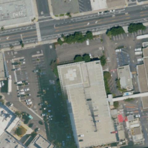
Aerial tile for CL64Confirmed

CL64 Washington Hospital Parking Structure

FREMONT, CA

37.5574722220001, -121.978138889

Rooftop pad with clear white H marking and red border visible at image center on the parking structure.

✓ Confirmed by AI vision with Claude Opus 4.8

97% confidence Verify on the map →
Is there really a pad here?
Aerial tile for CL06Confirmed

CL06 Glendale Adventist Medical Center/GaMc

GLENDALE, CA

34.1516916670001, -118.230572222

Rooftop helipad with a distinct square touchdown marking visible at image center on the hospital building.

✓ Confirmed by AI vision with Claude Opus 4.8

88% confidence Verify on the map →
Is there really a pad here?
Aerial tile for 0CL4Confirmed

0CL4 700 North Brand

GLENDALE, CA

34.1571916670001, -118.254611111

Rooftop helipad with a white H-in-square marking clearly visible at image center on a low commercial building.

✓ Confirmed by AI vision with Claude Opus 4.8

93% confidence Verify on the map →
Is there really a pad here?
Aerial tile for 5CA0Confirmed

5CA0 Dreamworks Helistop Glendale

GLENDALE, CA

34.1583694440001, -118.285819444

Rooftop pad with a faint H marking visible at center of image on the DreamWorks building.

✓ Confirmed by AI vision with Claude Opus 4.8

85% confidence Verify on the map →
Is there really a pad here?
Aerial tile for 2CL7Confirmed

2CL7 Glendale Plaza Emergency

GLENDALE, CA

34.155625, -118.258611111

Rooftop helipad with a number (72) marking inside a circle clearly visible at image center.

✓ Confirmed by AI vision with Claude Opus 4.8

95% confidence Verify on the map →
Is there really a pad here?
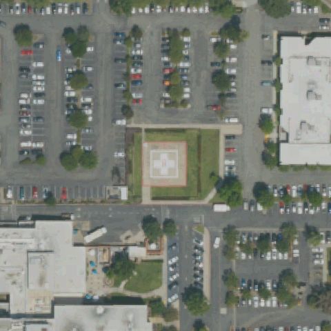
Aerial tile for 06CLConfirmed

06CL Abc7-Tv

GLENDALE, CA

34.1572944440001, -118.288716667

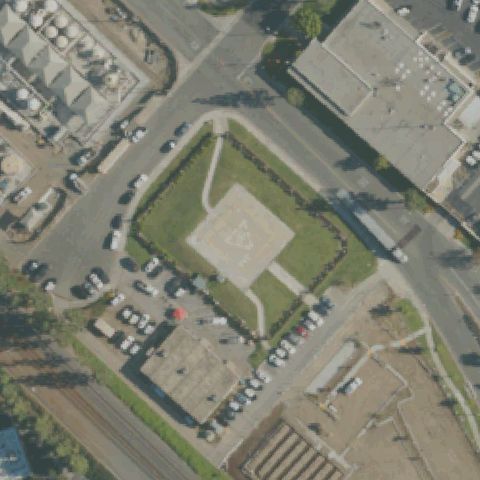
Circular ground-level helipad with a distinct circle marking visible near image center in a paved roundabout area.

✓ Confirmed by AI vision with Claude Opus 4.8

88% confidence Verify on the map →
Is there really a pad here?
Aerial tile for 14CLConfirmed

14CL Foothill Presbyterian Hospital

GLENDORA, CA

34.1334666670001, -117.870697222

Ground-level helipad with a large white H-in-square marking clearly visible at image center surrounded by grass.

✓ Confirmed by AI vision with Claude Opus 4.8

97% confidence Verify on the map →
Is there really a pad here?
Aerial tile for CA15Confirmed

CA15 Sierra Nevada Meml Hospital

GRASS VALLEY, CA

39.227483389, -121.047654444

Rooftop helipad with a white H marking on a red square visible at image center on the hospital.

✓ Confirmed by AI vision with Claude Opus 4.8

92% confidence Verify on the map →
Is there really a pad here?
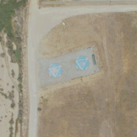
Aerial tile for CN27Confirmed

CN27 Hughes/Canoga Park

CANOGA PARK, CA

34.221497222, -118.627116667

Ground-level helipad with a clear white H inside a triangle-circle marking visible at image center in a parking area island.

✓ Confirmed by AI vision with Claude Opus 4.8

97% confidence Verify on the map →
Is there really a pad here?
Aerial tile for 4CL5Confirmed

4CL5 Mercy San Juan Hospital

CARMICHAEL, CA

38.6691527780001, -121.314386111

Rooftop helipad with a white cross-and-circle marking visible at image center on the hospital roof.

✓ Confirmed by AI vision with Claude Opus 4.8

92% confidence Verify on the map →
Is there really a pad here?
Aerial tile for 9CA3Confirmed

9CA3 Recreation and Conference Center

CITY OF INDUSTRY, CA

34.0205111110001, -117.927388889

Rooftop helipad with a large circle and H marking visible at image center on the hotel/conference center building.

✓ Confirmed by AI vision with Claude Opus 4.8

90% confidence Verify on the map →
Is there really a pad here?
Aerial tile for 60CAConfirmed

60CA Q Area

CONCORD, CA

38.0451416670001, -122.007288889

Ground-level military helipad with a white H inside a triangle-circle marking clearly visible at image center.

✓ Confirmed by AI vision with Claude Opus 4.8

97% confidence Verify on the map →
Is there really a pad here?
Aerial tile for CL16Confirmed

CL16 Turner Fld Amphibious Base Heli

CORONADO, CA

32.678297222, -117.155572222

Ground-level helipad with a large white H marking clearly visible at image center near the waterfront.

✓ Confirmed by AI vision with Claude Opus 4.8

98% confidence Verify on the map →
Is there really a pad here?
Aerial tile for 42CLConfirmed

42CL Costa Mesa Police Department

COSTA MESA, CA

33.662886111, -117.903941667

Ground-level helipad with a faint H marking visible at image center in a paved area.

✓ Confirmed by AI vision with Claude Opus 4.8

88% confidence Verify on the map →
Is there really a pad here?
Aerial tile for 83CAConfirmed

83CA The Met

COSTA MESA, CA

33.6884916670001, -117.877952778

Rooftop helipad with a large white circle marking clearly visible at image center on the building.

✓ Confirmed by AI vision with Claude Opus 4.8

95% confidence Verify on the map →
Is there really a pad here?
Aerial tile for 76CNConfirmed

76CN El Centro Rgnl Medical Center

EL CENTRO, CA

32.7798611110001, -115.568611111

Rooftop helipad with a white H marking on a red-bordered pad visible at image center on the medical center.

✓ Confirmed by AI vision with Claude Opus 4.8

92% confidence Verify on the map →
Is there really a pad here?
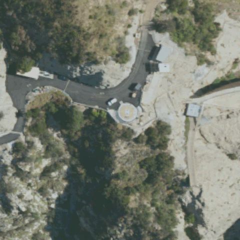
Aerial tile for 6CL3Confirmed

6CL3 William Shells Company

FILLMORE, CA

34.380166667, -118.868480556

Isolated ground-level square concrete pad with a white square marking clearly visible at image center on hillside.

✓ Confirmed by AI vision with Claude Opus 4.8

93% confidence Verify on the map →
Is there really a pad here?
Aerial tile for 94CAConfirmed

94CA Kaiser Hospital

FONTANA, CA

34.0725444440001, -117.432525

Rooftop helipad with a white cross-in-circle marking clearly visible at image center on the hospital building.

✓ Confirmed by AI vision with Claude Opus 4.8

95% confidence Verify on the map →
Is there really a pad here?
Aerial tile for CA29Confirmed

CA29 Fontana Police

FONTANA, CA

34.101641667, -117.433683333

Rooftop helipad with a faint circle marking visible at image center on the police station building.

✓ Confirmed by AI vision with Claude Opus 4.8

88% confidence Verify on the map →
Is there really a pad here?
Aerial tile for CN01Confirmed

CN01 Mendocino Coast District Hospital

FORT BRAGG, CA

39.4318977780001, -123.799626944

Ground-level helipad with a white square-in-square marking clearly visible at image center on a grass area.

✓ Confirmed by AI vision with Claude Opus 4.8

95% confidence Verify on the map →
Is there really a pad here?
Aerial tile for CN51Confirmed

CN51 Community Rgnl Medical Center

FRESNO, CA

36.743686111, -119.785272222

Two rooftop helipads with large white circles visible; the upper one is at image center on the hospital roof.

✓ Confirmed by AI vision with Claude Opus 4.8

97% confidence Verify on the map →
Is there really a pad here?
Aerial tile for 5CL2Confirmed

5CL2 St Louise Rgnl Hospital

GILROY, CA

37.0356, -121.571111111

Ground-level helipad with a white H-in-square marking clearly visible at image center surrounded by grass.

✓ Confirmed by AI vision with Claude Opus 4.8

97% confidence Verify on the map →
Is there really a pad here?
Aerial tile for 95CLConfirmed

95CL Verdugo Hills Hospital

GLENDALE, CA

34.204136111, -118.217302778

Ground-level helipad with a white square marking visible at image center next to the hospital.

✓ Confirmed by AI vision with Claude Opus 4.8

93% confidence Verify on the map →
Is there really a pad here?
Aerial tile for 30CAConfirmed

30CA Plumas Hospital District

GREENVILLE, CA

40.1412777780001, -120.937194444

Ground-level helipad with a clear white H marking visible at image center on asphalt pad adjacent to the hospital.

✓ Confirmed by AI vision with Claude Opus 4.8

97% confidence Verify on the map →
Is there really a pad here?
Aerial tile for 85CAConfirmed

85CA Redwood Coast Medical Services

GUALALA, CA

38.770827028, -123.529466389

Ground-level helipad with a red and white circle marking clearly visible at image center near the medical clinic.

✓ Confirmed by AI vision with Claude Opus 4.8

95% confidence Verify on the map →
Is there really a pad here?
Aerial tile for CN53Confirmed

CN53 Kings County Houston Ave

HANFORD, CA

36.2998694440001, -119.594852778

Two ground-level helipads with clear white H markings on asphalt; the primary one is at image center.

✓ Confirmed by AI vision with Claude Opus 4.8

98% confidence Verify on the map →
Is there really a pad here?
Aerial tile for 15CNConfirmed

15CN Adventist Medical Center Hanford

HANFORD, CA

36.323277778, -119.667222222

Rooftop helipad with a large white circle marking visible at image center on the hospital building.

✓ Confirmed by AI vision with Claude Opus 4.8

95% confidence Verify on the map →
Is there really a pad here?
Aerial tile for 4CL8Confirmed

4CL8 Hanford Community Medical Center Helistop

HANFORD, CA

36.3297777780001, -119.659555556

Ground-level helipad with a large white circle marking visible at image center in a paved parking area.

✓ Confirmed by AI vision with Claude Opus 4.8

92% confidence Verify on the map →
Is there really a pad here?
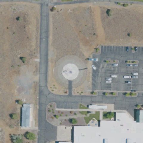
Aerial tile for 75CAConfirmed

75CA Civic Center

HUNTINGTON BEACH, CA

33.678075, -118.000391667

Rooftop helipad with a white H-in-triangle marking visible at image center on a civic building.

✓ Confirmed by AI vision with Claude Opus 4.8

88% confidence Verify on the map →
Is there really a pad here?
Aerial tile for 21CAConfirmed

21CA Crc-Huntington Beach

HUNTINGTON BEACH, CA

33.6838333330001, -118.031777778

Ground-level helipad with a white H-in-square marking clearly visible at image center surrounded by scrubland.

✓ Confirmed by AI vision with Claude Opus 4.8

97% confidence Verify on the map →
Is there really a pad here?
Aerial tile for 42CAConfirmed

42CA John F Kennedy Meml Hospital

INDIO, CA

33.705844444, -116.236752778

Ground-level helipad with a white H marking clearly visible at image center on a grass area next to the hospital.

✓ Confirmed by AI vision with Claude Opus 4.8

95% confidence Verify on the map →
Is there really a pad here?
Aerial tile for 9CA4Confirmed

9CA4 HdMc Holdings LLC

JOSHUA TREE, CA

34.131291667, -116.275802778

Ground-level helipad with a white square marking visible at image center on a concrete pad in the desert.

✓ Confirmed by AI vision with Claude Opus 4.8

93% confidence Verify on the map →
Is there really a pad here?
Aerial tile for CL28Confirmed

CL28 Moronga Basin Chp

JOSHUA TREE, CA

34.1341555560001, -116.273905556

Ground-level helipad with a white H marking visible at image center on a paved asphalt area.

✓ Confirmed by AI vision with Claude Opus 4.8

93% confidence Verify on the map →
Is there really a pad here?
Aerial tile for 09CAConfirmed

09CA Mee Meml Hospital

KING CITY, CA

36.205525611, -121.132548722

Ground pad with white cross and circle clearly visible at image center near hospital buildings.

✓ Confirmed by AI vision with Claude Opus 4.8

95% confidence Verify on the map →
Is there really a pad here?
Aerial tile for CL69Confirmed

CL69 Sutter Lakeside Hospital

LAKEPORT, CA

39.105372222, -122.905696667

Ground-level circular pad with red cross and H marking prominently at image center.

✓ Confirmed by AI vision with Claude Opus 4.8

97% confidence Verify on the map →
Is there really a pad here?
Aerial tile for 21CLConfirmed

21CL La County Sheriff Lancaster Stn

LANCASTER, CA

34.700288889, -118.138086111

Ground pad with circle and H marking clearly at image center in a paved parking/tarmac area.

✓ Confirmed by AI vision with Claude Opus 4.8

92% confidence Verify on the map →
Is there really a pad here?
Aerial tile for CL40Confirmed

CL40 Antelope Valley Service Center

LANCASTER, CA

34.647977778, -118.145194444

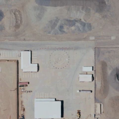
Ground helipad outlined with dashed square border clearly visible at center of large paved area.

✓ Confirmed by AI vision with Claude Opus 4.8

90% confidence Verify on the map →
Is there really a pad here?
Aerial tile for 8CL7Confirmed

8CL7 Lodi Meml Hospital

LODI, CA

38.122416667, -121.286719444

Square ground pad with cross/H marking clearly at center surrounded by hospital grounds.

✓ Confirmed by AI vision with Claude Opus 4.8

95% confidence Verify on the map →
Is there really a pad here?
Aerial tile for 14LConfirmed

14L Devonshire Area

LOS ANGELES, CA

34.256875, -118.531441667

Rooftop helipad with H marking inside yellow circle clearly visible at center of image on flat building roof.

✓ Confirmed by AI vision with Claude Opus 4.8

93% confidence Verify on the map →
Is there really a pad here?
Aerial tile for 9CA5Confirmed

9CA5 California Mart

LOS ANGELES, CA

34.040269444, -118.255980556

Two rooftop helipad circles visible on building, with one centered in the image; markings faint.

✓ Confirmed by AI vision with Claude Opus 4.8

85% confidence Verify on the map →
Is there really a pad here?
Aerial tile for 58CAConfirmed

58CA Jay Stephen Hooper Meml

LOS ANGELES, CA

34.0543888890001, -118.229527778

Large rooftop/tarmac area with multiple circle markings and helicopter visible at center.

✓ Confirmed by AI vision with Claude Opus 4.8

85% confidence Verify on the map →
Is there really a pad here?
Aerial tile for CL31Confirmed

CL31 Caltrans District 7

LOS ANGELES, CA

34.0514166670001, -118.242880556

Faint circle marking visible on rooftop near center of image on Caltrans building.

✓ Confirmed by AI vision with Claude Opus 4.8

75% confidence Verify on the map →
Is there really a pad here?
Aerial tile for 29CLConfirmed

29CL Childrens Hospital Los Angeles

LOS ANGELES, CA

34.0973333330001, -118.290902778

Rooftop helipad with circle and H marking visible near center of the hospital complex rooftop.

✓ Confirmed by AI vision with Claude Opus 4.8

88% confidence Verify on the map →
Is there really a pad here?
Aerial tile for 3CN5Confirmed

3CN5 Los Angeles County Sheriffs Dept South La

LOS ANGELES, CA

33.9286111110001, -118.298888889

Ground-level helipad with SHERIFF text and blue square marking clearly at image center.

✓ Confirmed by AI vision with Claude Opus 4.8

95% confidence Verify on the map →
Is there really a pad here?
Aerial tile for CL50Confirmed

CL50 Westwood Gateway

LOS ANGELES, CA

34.0477872220001, -118.445079722

Rooftop helipad with H and square outline clearly visible at center of building top.

✓ Confirmed by AI vision with Claude Opus 4.8

90% confidence Verify on the map →
Is there really a pad here?
Aerial tile for 0CL7Confirmed

0CL7 Good Samaritan Hospital

LOS ANGELES, CA

34.054847222, -118.264972222

Rooftop helipad with white H/cross marking clearly at center of image on hospital rooftop.

✓ Confirmed by AI vision with Claude Opus 4.8

93% confidence Verify on the map →
Is there really a pad here?
Aerial tile for 84CLConfirmed

84CL Century City

LOS ANGELES, CA

34.0610583330001, -118.417391667

Rooftop helipad with H marking inside circle clearly at center of building top.

✓ Confirmed by AI vision with Claude Opus 4.8

92% confidence Verify on the map →
Is there really a pad here?
Aerial tile for CA86Confirmed

CA86 Northridge Hospital

LOS ANGELES, CA

34.220052778, -118.532613889

Rooftop helipad with H/cross marking clearly visible at center on hospital building rooftop.

✓ Confirmed by AI vision with Claude Opus 4.8

93% confidence Verify on the map →
Is there really a pad here?
Aerial tile for CN47Confirmed

CN47 Pacoima Dam

LOS ANGELES, CA

34.3340000000001, -118.397194444

Prepared concrete square pad at dam facility center with surrounding cleared area; no H marking but distinct prepared landing surface.

✓ Confirmed by AI vision with Claude Opus 4.8

82% confidence Verify on the map →
Is there really a pad here?
Aerial tile for 01CAConfirmed

01CA Lugo Substation

HESPERIA, CA

34.3682388890001, -117.370072222

Ground helipad with circle and central H marking clearly visible at image center near power substation.

✓ Confirmed by AI vision with Claude Opus 4.8

93% confidence Verify on the map →
Is there really a pad here?
Aerial tile for 9CN1Confirmed

9CN1 Hazel Hawkins Meml Hospital

HOLLISTER, CA

36.834777778, -121.3865

Ground helipad with H marking inside circle clearly visible at image center on hospital grounds.

✓ Confirmed by AI vision with Claude Opus 4.8

95% confidence Verify on the map →
Is there really a pad here?
Aerial tile for CL65Confirmed

CL65 H B P D

HUNTINGTON BEACH, CA

33.6952277780001, -118.001619444

Ground helipad with circle and triangle/arrow landing marker clearly at image center.

✓ Confirmed by AI vision with Claude Opus 4.8

88% confidence Verify on the map →
Is there really a pad here?
Aerial tile for 3CA2Confirmed

3CA2 Jamboree Center Helistop

IRVINE, CA

33.6778972220001, -117.836755556

Rooftop helipad with circle marking clearly at center on office building.

✓ Confirmed by AI vision with Claude Opus 4.8

88% confidence Verify on the map →
Is there really a pad here?
Aerial tile for CL92Confirmed

CL92 Sce Saddleback Service Center

IRVINE, CA

33.655263889, -117.705852778

Ground helipad with circle outline and central pad clearly visible at image center.

✓ Confirmed by AI vision with Claude Opus 4.8

87% confidence Verify on the map →
Is there really a pad here?
Aerial tile for 5CL5Confirmed

5CL5 Kcin Emergency

IRVINE, CA

33.6859055560001, -117.854375

Rooftop helipad with H/circle marking visible on top of office building at center.

✓ Confirmed by AI vision with Claude Opus 4.8

87% confidence Verify on the map →
Is there really a pad here?
Aerial tile for CA85Confirmed

CA85 Opus Center Irvine

IRVINE, CA

33.6836111110001, -117.853333333

Rooftop helipad with circle and H marking clearly visible at image center on building.

✓ Confirmed by AI vision with Claude Opus 4.8

90% confidence Verify on the map →
Is there really a pad here?
Aerial tile for CL21Confirmed

CL21 Sutter Amador Hospital

JACKSON, CA

38.3510138890001, -120.763972222

Ground helipad with H marking inside circle on grassy area clearly at image center.

✓ Confirmed by AI vision with Claude Opus 4.8

92% confidence Verify on the map →
Is there really a pad here?
Aerial tile for CL66Confirmed

CL66 Camp 2

LA CANADA, CA

34.197227222, -118.173961111

Open area with faint circle marking at center; appears to be a helipad on maintained grounds near dam/camp facility.

✓ Confirmed by AI vision with Claude Opus 4.8

72% confidence Verify on the map →
Is there really a pad here?
Aerial tile for CA68Confirmed

CA68 Saddleback Meml Medical Center

LAGUNA HILLS, CA

33.608519444, -117.709208333

Rooftop helipad with H/cross marking clearly at center of hospital building top.

✓ Confirmed by AI vision with Claude Opus 4.8

95% confidence Verify on the map →
Is there really a pad here?
Aerial tile for CA24Confirmed

CA24 Scripps Meml Hospital La Jolla

LA JOLLA, CA

32.886280556, -117.225494444

Ground helipad with H marking in circle clearly at center on hospital grounds by freeway.

✓ Confirmed by AI vision with Claude Opus 4.8

95% confidence Verify on the map →
Is there really a pad here?
Aerial tile for 13CAConfirmed

13CA M H 15 Heaps Peak Usfs

LAKE ARROWHEAD, CA

34.2352138890001, -117.154788889

Three prepared ground helipads with square outlines clearly visible at center; USFS multi-pad helibase facility.

✓ Confirmed by AI vision with Claude Opus 4.8

97% confidence Verify on the map →
Is there really a pad here?
Aerial tile for 47CAConfirmed

47CA Mountains Community Hospital

LAKE ARROWHEAD, CA

34.265488889, -117.167747222

Ground helipad with H/cross marking inside red circle clearly at center on hospital grounds.

✓ Confirmed by AI vision with Claude Opus 4.8

97% confidence Verify on the map →
Is there really a pad here?
Aerial tile for 76CAConfirmed

76CA Bald Mountain

LONG BARN, CA

38.1398888890001, -120.094555556

Clear rectangular asphalt helipad with square touchdown marker and windsock visible at center, labeled BALD MTN.

✓ Confirmed by AI vision with Claude Opus 4.8

97% confidence Verify on the map →
Is there really a pad here?
Aerial tile for 3CL3Confirmed

3CL3 World Trade Center

LONG BEACH, CA

33.767841667, -118.199772222

Ground-level circular helipad with WTC lettering and red circle/border clearly visible at image center.

✓ Confirmed by AI vision with Claude Opus 4.8

98% confidence Verify on the map →
Is there really a pad here?
Aerial tile for 30CLConfirmed

30CL Long Beach Meml Medical Center

LONG BEACH, CA

33.808694444, -118.186611111

Rooftop circle marker with H cross visible near center of large hospital complex.

✓ Confirmed by AI vision with Claude Opus 4.8

95% confidence Verify on the map →
Is there really a pad here?
Aerial tile for 50CAConfirmed

50CA St Mary Medical Center

LONG BEACH, CA

33.7805777780001, -118.185944444

Rooftop helipad with large H cross marking clearly visible at center of hospital building.

✓ Confirmed by AI vision with Claude Opus 4.8

93% confidence Verify on the map →
Is there really a pad here?
Aerial tile for CL07Confirmed

CL07 Queen Mary

LONG BEACH, CA

33.749122222, -118.190144444

Ground-level concrete pad with square outline and interior marking visible near center along waterfront.

✓ Confirmed by AI vision with Claude Opus 4.8

85% confidence Verify on the map →
Is there really a pad here?
Aerial tile for CL00Confirmed

CL00 Usc University Hospital

LOS ANGELES, CA

34.061611111, -118.201586111

Large red rooftop pad with prominent white H cross clearly visible at image center on USC University Hospital.

✓ Confirmed by AI vision with Claude Opus 4.8

99% confidence Verify on the map →
Is there really a pad here?
Aerial tile for 4CA1Confirmed

4CA1 City Ntl Bank

LOS ANGELES, CA

34.0477194440001, -118.254136111

Rooftop pad with red-bordered square and white circle visible near center of City National Bank building.

✓ Confirmed by AI vision with Claude Opus 4.8

92% confidence Verify on the map →
Is there really a pad here?
Aerial tile for 59LConfirmed

59L Los Angeles City Hall East

LOS ANGELES, CA

34.0529722220001, -118.241633333

Rooftop of LA City Hall East has a white triangle/H marking clearly visible at center of the building top.

✓ Confirmed by AI vision with Claude Opus 4.8

92% confidence Verify on the map →
Is there really a pad here?
Aerial tile for 60LConfirmed

60L Engine Company Nr 108

LOS ANGELES, CA

34.1267888890001, -118.406488889

Ground-level asphalt pad with yellow H marking clearly visible at center adjacent to fire station in hilly terrain.

✓ Confirmed by AI vision with Claude Opus 4.8

95% confidence Verify on the map →
Is there really a pad here?
Aerial tile for 61LConfirmed

61L Engine Company Nr 109

LOS ANGELES/VAN NUYS, CA

34.130780556, -118.490522222

Paved area with faint circle outline visible at center; likely a former or lightly marked pad in a Malibu hillside location.

✓ Confirmed by AI vision with Claude Opus 4.8

70% confidence Verify on the map →
Is there really a pad here?
Aerial tile for CA46Confirmed

CA46 Cedars-Sinai Medical Center

LOS ANGELES, CA

34.076322222, -118.381466667

Two rooftop pads visible on Cedars-Sinai: one with H at center-left and a large yellow-rimmed circle to right; primary pad near center.

✓ Confirmed by AI vision with Claude Opus 4.8

97% confidence Verify on the map →
Is there really a pad here?
Aerial tile for 3CL5Confirmed

3CL5 Chase Plaza

LOS ANGELES, CA

34.0456194440001, -118.258658333

Rooftop pad with red-outlined square and circle containing H clearly visible at center of Chase Plaza building.

✓ Confirmed by AI vision with Claude Opus 4.8

95% confidence Verify on the map →
Is there really a pad here?
Aerial tile for CL54Confirmed

CL54 Westside Towers

LOS ANGELES, CA

34.0331027780001, -118.451288889

Red-outlined square landing area visible on rooftop near image center of Westside Towers complex.

✓ Confirmed by AI vision with Claude Opus 4.8

82% confidence Verify on the map →
Is there really a pad here?
Aerial tile for 5CL6Confirmed

5CL6 Edward Roybal Federal Bldg

LOS ANGELES, CA

34.0528861110001, -118.23885

Large circular rooftop pad with prominent H marking clearly visible on the Roybal Federal Building near center.

✓ Confirmed by AI vision with Claude Opus 4.8

97% confidence Verify on the map →
Is there really a pad here?
Aerial tile for 3CL1Confirmed

3CL1 Metro Water District

LOS ANGELES, CA

34.0546833330001, -118.236144444

Rooftop with painted H pad marking clearly visible at center of Metro Water District building.

✓ Confirmed by AI vision with Claude Opus 4.8

95% confidence Verify on the map →
Is there really a pad here?
Aerial tile for 2CN6Confirmed

2CN6 Department of Water & Power Los Angeles

LOS ANGELES, CA

34.0580861110001, -118.249475

Faint circle marking visible on rooftop near center of DWP building; low confidence due to image clarity.

✓ Confirmed by AI vision with Claude Opus 4.8

78% confidence Verify on the map →
Is there really a pad here?
Aerial tile for 35CAConfirmed

35CA Los Angeles County/Usc Medical Center

LOS ANGELES, CA

34.0597388890001, -118.211788889

Large ground-level circle pad with prominent white H cross on red background clearly visible at image center.

✓ Confirmed by AI vision with Claude Opus 4.8

98% confidence Verify on the map →
Is there really a pad here?
Aerial tile for 4CN7Confirmed

4CN7 Children's Hospital of Los Angeles Ii

LOS ANGELES, CA

34.097291667, -118.288633333

Rooftop with H marking visible on upper building of Children's Hospital LA, near image center.

✓ Confirmed by AI vision with Claude Opus 4.8

95% confidence Verify on the map →
Is there really a pad here?
Aerial tile for 4CA4Confirmed

4CA4 St Francis Medical Center Helistop

LYNWOOD, CA

33.92985, -118.202652778

Large rooftop pad with prominent white H cross marking clearly visible at center of St Francis Medical Center.

✓ Confirmed by AI vision with Claude Opus 4.8

97% confidence Verify on the map →
Is there really a pad here?
Aerial tile for CL72Confirmed

CL72 Camp 8

MALIBU, CA

34.0617611110001, -118.647138889

Gravel/dirt cleared oval area with faint star or pad outline visible at center; low confidence due to unprepared appearance.

✓ Confirmed by AI vision with Claude Opus 4.8

72% confidence Verify on the map →
Is there really a pad here?
Aerial tile for 82CAConfirmed

82CA Sce Moorpark Substation

MOORPARK, CA

34.2818055560001, -118.904525

Square prepared concrete pad visible at center of SCE Moorpark substation yard, surrounded by electrical equipment.

✓ Confirmed by AI vision with Claude Opus 4.8

88% confidence Verify on the map →
Is there really a pad here?
Aerial tile for CA28Confirmed

CA28 Riverside County Rgnl Medical Center

MORENO VALLEY, CA

33.9130277780001, -117.1965

Ground-level circular pad with H cross on red background clearly visible at center of hospital drive loop.

✓ Confirmed by AI vision with Claude Opus 4.8

97% confidence Verify on the map →
Is there really a pad here?
Aerial tile for 40CNConfirmed

40CN Loma Linda Univ Med Ctr-Murrieta

MURRIETA, CA

33.6146944440001, -117.169952778

Square concrete pad with lighter surface clearly visible at center of landscaped hospital drop-off loop.

✓ Confirmed by AI vision with Claude Opus 4.8

90% confidence Verify on the map →
Is there really a pad here?
Aerial tile for CN14Confirmed

CN14 Queen of The Valley Hospital

NAPA, CA

38.3238827500001, -122.297177222

Ground-level pad with white H cross on red circle clearly visible at center of Queen of Valley Hospital parking area.

✓ Confirmed by AI vision with Claude Opus 4.8

97% confidence Verify on the map →
Is there really a pad here?
Aerial tile for 7CL1Confirmed

7CL1 Ucsf Benioff Childrens Hospital Oakland

OAKLAND, CA

37.836158889, -122.266803333

Red rooftop pad with prominent white H cross clearly visible at center of UCSF Benioff Children's Hospital building.

✓ Confirmed by AI vision with Claude Opus 4.8

98% confidence Verify on the map →
Is there really a pad here?
Aerial tile for CL55Confirmed

CL55 Sce Serrano Substation

ORANGE, CA

33.8284722220001, -117.790583333

Asphalt pad with H marking visible at center of SCE Serrano substation facility.

✓ Confirmed by AI vision with Claude Opus 4.8

88% confidence Verify on the map →
Is there really a pad here?
Aerial tile for 4CA5Confirmed

4CA5 Childrens Hospital of Orange County

ORANGE, CA

33.781455556, -117.865361111

Large rooftop pad with H cross marking clearly visible at center of Children's Hospital of Orange County.

✓ Confirmed by AI vision with Claude Opus 4.8

95% confidence Verify on the map →
Is there really a pad here?
Aerial tile for 7CA4Confirmed

7CA4 Desert Rgnl Medical Center

PALM SPRINGS, CA

33.8384444440001, -116.543888889

Rooftop pad with red H/cross and square border clearly visible at center of Desert Regional Medical Center.

✓ Confirmed by AI vision with Claude Opus 4.8

97% confidence Verify on the map →
Is there really a pad here?
Aerial tile for 15CAConfirmed

15CA Stanford Health Care East

PALO ALTO, CA

37.4351583330001, -122.174358333

Multiple rooftop pads with circle and H markings visible on Stanford Health Care East hospital buildings at center.

✓ Confirmed by AI vision with Claude Opus 4.8

95% confidence Verify on the map →
Is there really a pad here?
Aerial tile for 24CAConfirmed

24CA Mesa

PASADENA, CA

34.205688889, -118.173708333

Paved helipad area with faint square pad marking visible near center; low confidence due to faded markings.

✓ Confirmed by AI vision with Claude Opus 4.8

75% confidence Verify on the map →
Is there really a pad here?
Aerial tile for CL14Confirmed

CL14 Huntington Meml Hospital

PASADENA, CA

34.134333333, -118.152091667

Clear rooftop helipad with red cross and H marking at image center on hospital building.

✓ Confirmed by AI vision with Claude Opus 4.8

98% confidence Verify on the map →
Is there really a pad here?
Aerial tile for 7CA3Confirmed

7CA3 Mercy Medical Center

REDDING, CA

40.5722222220001, -122.396666667

Ground-level circular pad with large white H marker clearly visible at image center.

✓ Confirmed by AI vision with Claude Opus 4.8

97% confidence Verify on the map →
Is there really a pad here?
Aerial tile for CA81Confirmed

CA81 Riverside Metro Center

RIVERSIDE, CA

33.9830000000001, -117.376130556

Building rooftop with clear H and circle helipad markings at image center.

✓ Confirmed by AI vision with Claude Opus 4.8

93% confidence Verify on the map →
Is there really a pad here?
Aerial tile for 54CAConfirmed

54CA Riverside Community Hospital

RIVERSIDE, CA

33.9774166670001, -117.381694444

Low rooftop building section with faint H marking visible near image center.

✓ Confirmed by AI vision with Claude Opus 4.8

88% confidence Verify on the map →
Is there really a pad here?
Aerial tile for 6CA2Confirmed

6CA2 Sce Rosemead

ROSEMEAD, CA

34.050030556, -118.081094444

Ground-level pad with square TLOF and circle marking clearly visible at image center.

✓ Confirmed by AI vision with Claude Opus 4.8

95% confidence Verify on the map →
Is there really a pad here?
Aerial tile for CL75Confirmed

CL75 Robert D Cloud

ROSEMEAD, CA

34.052072222, -118.080622222

Hospital rooftop with clear circle and H helipad marking at image center.

✓ Confirmed by AI vision with Claude Opus 4.8

93% confidence Verify on the map →
Is there really a pad here?
Aerial tile for 5CL4Confirmed

5CL4 Natividad Medical Center

SALINAS, CA

36.697486111, -121.634527778

Ground-level concrete pad with H and circle at image center in medical campus.

✓ Confirmed by AI vision with Claude Opus 4.8

95% confidence Verify on the map →
Is there really a pad here?
Aerial tile for CA25Confirmed

CA25 Mark Twain Medical Center

SAN ANDREAS, CA

38.19075, -120.669166667

Ground-level concrete pad with white H/cross marking clearly visible at image center.

✓ Confirmed by AI vision with Claude Opus 4.8

93% confidence Verify on the map →
Is there really a pad here?
Aerial tile for 5CA1Confirmed

5CA1 Chevron - San Ardo

SAN ARDO, CA

35.956388889, -120.869444444

Faint circular pad outline visible in dry open area at image center, markings weathered.

✓ Confirmed by AI vision with Claude Opus 4.8

72% confidence Verify on the map →
Is there really a pad here?
Aerial tile for 8CA4Confirmed

8CA4 Sce Eastern Division

SAN BERNARDINO, CA

34.1047472220001, -117.351691667

Industrial warehouse rooftop with small square helipad marking visible at image center.

✓ Confirmed by AI vision with Claude Opus 4.8

72% confidence Verify on the map →
Is there really a pad here?
Aerial tile for 86CNConfirmed

86CN Mercy Medical Center Merced

MERCED, CA

37.3407777780001, -120.466694444

Ground-level circular pad with faint H visible near image center at medical facility.

✓ Confirmed by AI vision with Claude Opus 4.8

82% confidence Verify on the map →
Is there really a pad here?
Aerial tile for CA55Confirmed

CA55 Mission Hospital Helistop

MISSION VIEJO, CA

33.5608, -117.666152778

Clear rooftop helipad with H/cross and circle marking at image center on hospital building.

✓ Confirmed by AI vision with Claude Opus 4.8

97% confidence Verify on the map →
Is there really a pad here?
Aerial tile for 96CLConfirmed

96CL Ranch

NEWBURY PARK, CA

34.1576944440001, -118.91775

Green square pad with triangle/H marker clearly visible at image center in wooded setting.

✓ Confirmed by AI vision with Claude Opus 4.8

93% confidence Verify on the map →
Is there really a pad here?
Aerial tile for 27CNConfirmed

27CN Sce Pardee Substation Helistop

NEWHALL, CA

34.4395527780001, -118.579238889

Large paved area with faint square helipad marking visible at image center.

✓ Confirmed by AI vision with Claude Opus 4.8

75% confidence Verify on the map →
Is there really a pad here?
Aerial tile for 3CA1Confirmed

3CA1 Newport Beach Police

NEWPORT BEACH, CA

33.6231472220001, -117.880227778

Building rooftop with H pad marking visible at image center.

✓ Confirmed by AI vision with Claude Opus 4.8

85% confidence Verify on the map →
Is there really a pad here?
Aerial tile for 14CAConfirmed

14CA Hoag Meml Hospital Presbyterian

NEWPORT BEACH, CA

33.625166667, -117.930777778

Clear rooftop helipad with H/cross and circle marking at image center on hospital building.

✓ Confirmed by AI vision with Claude Opus 4.8

97% confidence Verify on the map →
Is there really a pad here?
Aerial tile for 84LConfirmed

84L Norwalk Sheriff Station

NORWALK, CA

33.915138889, -118.069777778

Small pad area with blue H marking visible at image center.

✓ Confirmed by AI vision with Claude Opus 4.8

78% confidence Verify on the map →
Is there really a pad here?
Aerial tile for 2CL6Confirmed

2CL6 St John's Rgnl Medical Center

OXNARD, CA

34.2166083330001, -119.157325

Ground-level concrete pad with H/cross and circle marking clearly visible at image center.

✓ Confirmed by AI vision with Claude Opus 4.8

97% confidence Verify on the map →
Is there really a pad here?
Aerial tile for 50CNConfirmed

50CN Palmdale Medical Center

PALMDALE, CA

34.5822694440001, -118.145125

Clear concrete ground pad with H/cross marking and dashed circle visible at image center.

✓ Confirmed by AI vision with Claude Opus 4.8

97% confidence Verify on the map →
Is there really a pad here?
Aerial tile for 1CL5Confirmed

1CL5 Pomerado Hospital

POWAY, CA

32.996055556, -117.055527778

Ground-level circular pad with H/cross clearly visible at image center in medical campus.

✓ Confirmed by AI vision with Claude Opus 4.8

96% confidence Verify on the map →
Is there really a pad here?
Aerial tile for CL94Confirmed

CL94 Plumas District Hospital

QUINCY, CA

39.94025, -120.962

Ground-level concrete pad with white H/cross marking clearly visible at image center.

✓ Confirmed by AI vision with Claude Opus 4.8

95% confidence Verify on the map →
Is there really a pad here?
Aerial tile for 7CA8Confirmed

7CA8 Eisenhower Medical Center

RANCHO MIRAGE, CA

33.764083333, -116.404916667

Circular concrete pad surrounded by water feature visible at image center, consistent with helipad.

✓ Confirmed by AI vision with Claude Opus 4.8

82% confidence Verify on the map →
Is there really a pad here?
Aerial tile for CA77Confirmed

CA77 Ridgecrest Rgnl Hospital Helistop 1

RIDGECREST, CA

35.640383333, -117.672030556

Ground H/cross pad with dashed circle clearly visible at image center adjacent to hospital.

✓ Confirmed by AI vision with Claude Opus 4.8

97% confidence Verify on the map →
Is there really a pad here?
Aerial tile for CL15Confirmed

CL15 Sce Ridgecrest Service Center

RIDGECREST, CA

35.614638889, -117.668222222

Open yard with faint square helipad marking and H visible at image center.

✓ Confirmed by AI vision with Claude Opus 4.8

75% confidence Verify on the map →
Is there really a pad here?
Aerial tile for 3CL0Confirmed

3CL0 Uc Davis Medical Center Tower Ii

SACRAMENTO, CA

38.5548702780001, -121.455436111

Two large rooftop helipads with H/cross markings clearly visible at image center on hospital tower.

✓ Confirmed by AI vision with Claude Opus 4.8

99% confidence Verify on the map →
Is there really a pad here?
Aerial tile for 61CNConfirmed

61CN California Highway Patrol Hq

SACRAMENTO, CA

38.5981055560001, -121.488230556

Building rooftop with clear H pad marking visible at image center.

✓ Confirmed by AI vision with Claude Opus 4.8

95% confidence Verify on the map →
Is there really a pad here?
Aerial tile for 6CN6Confirmed

6CN6 Kaiser Permanente South Sacramento

SACRAMENTO, CA

38.469830556, -121.420713889

Ground circular pad with H visible at image center, construction activity nearby.

✓ Confirmed by AI vision with Claude Opus 4.8

88% confidence Verify on the map →
Is there really a pad here?
Aerial tile for 1CL6Confirmed

1CL6 Lake Park Helistop

SACRAMENTO, CA

38.547666667, -121.377183333

Concrete pad with blue triangle/H marking clearly visible at image center.

✓ Confirmed by AI vision with Claude Opus 4.8

93% confidence Verify on the map →
Is there really a pad here?
Aerial tile for CA87Confirmed

CA87 Sce Songs Mesa

SAN CLEMENTE, CA

33.3794722220001, -117.559777778

Isolated concrete helipad with square and number markings clearly visible at image center in hillside setting.

✓ Confirmed by AI vision with Claude Opus 4.8

95% confidence Verify on the map →
Is there really a pad here?
Aerial tile for CL76Confirmed

CL76 U S Naval Medical Center San Diego

SAN DIEGO, CA

32.7250194440001, -117.144291667

Ground-level pad with white H/cross marking clearly visible at image center at Naval Medical Center.

✓ Confirmed by AI vision with Claude Opus 4.8

97% confidence Verify on the map →
Is there really a pad here?
Aerial tile for CN17Confirmed

CN17 Rady Childrens Hospital San Diego

SAN DIEGO, CA

32.798683333, -117.151833333

Rooftop helipad with H and circle marking visible at image center on hospital building.

✓ Confirmed by AI vision with Claude Opus 4.8

95% confidence Verify on the map →
Is there really a pad here?
Aerial tile for 8CA9Confirmed

8CA9 Kgtv-10 Parking Lot

SAN DIEGO, CA

32.720211111, -117.097372222

Ground pad with H marking visible at image center.

✓ Confirmed by AI vision with Claude Opus 4.8

88% confidence Verify on the map →
Is there really a pad here?
Aerial tile for CL97Confirmed

CL97 Scripps Mercy Hospital

SAN DIEGO, CA

32.75125, -117.160591667

Rooftop circular helipad with H clearly visible at image center on hospital building.

✓ Confirmed by AI vision with Claude Opus 4.8

95% confidence Verify on the map →
Is there really a pad here?
Aerial tile for CL36Confirmed

CL36 Sharp Mem Hospital

SAN DIEGO, CA

32.7994027780001, -117.153472222

Large red circular helipad with prominent cross/H marking clearly visible at center of rooftop pad.

✓ Confirmed by AI vision with Claude Opus 4.8

98% confidence Verify on the map →
Is there really a pad here?
Aerial tile for 20CNConfirmed

20CN Ucsd Medical Center Hillcrest

SAN DIEGO, CA

32.754136111, -117.165488889

Ground-level concrete pad with white H and square touchdown markings clearly visible near image center.

✓ Confirmed by AI vision with Claude Opus 4.8

88% confidence Verify on the map →
Is there really a pad here?
Aerial tile for 1CL0Confirmed

1CL0 William Archibald

SAN DIMAS, CA

34.104669444, -117.799725

Concrete pad with faint square outline and center marker visible at center of cleared area.

✓ Confirmed by AI vision with Claude Opus 4.8

72% confidence Verify on the map →
Is there really a pad here?
Aerial tile for 3CA8Confirmed

3CA8 Holy Cross Medical Center

SAN FERNANDO, CA

34.2801305560001, -118.4612

Ground-level concrete pad with large white cross/H marking prominently visible at center.

✓ Confirmed by AI vision with Claude Opus 4.8

97% confidence Verify on the map →
Is there really a pad here?
Aerial tile for 47CLConfirmed

47CL Spears

SAN FERNANDO, CA

34.3129222220001, -118.474430556

Large warehouse/industrial rooftop with faint H marking visible near center of roof section.

✓ Confirmed by AI vision with Claude Opus 4.8

65% confidence Verify on the map →
Is there really a pad here?
Aerial tile for CN02Confirmed

CN02 San Francisco Va Medical Center

SAN FRANCISCO, CA

37.783519444, -122.506788889

Ground-level concrete pad with yellow-bordered circle marking clearly visible at center of cleared area.

✓ Confirmed by AI vision with Claude Opus 4.8

95% confidence Verify on the map →
Is there really a pad here?
Aerial tile for 5CA3Confirmed

5CA3 San Rafel Private

SAN RAFEL, CA

37.9472500000001, -122.488047222

Circular concrete pad clearly visible at center of parking/commercial area.

✓ Confirmed by AI vision with Claude Opus 4.8

88% confidence Verify on the map →
Is there really a pad here?
Aerial tile for CL58Confirmed

CL58 Sce Southeastern Division

SANTA ANA, CA

33.7307250000001, -117.847355556

Ground pad with square outline and faint center marking visible at center of utility yard.

✓ Confirmed by AI vision with Claude Opus 4.8

75% confidence Verify on the map →
Is there really a pad here?
Aerial tile for 6CL7Confirmed

6CL7 Orange County Sheriffs Forensics Lab

SANTA ANA, CA

33.747652778, -117.877380556

Rooftop with two circular helipad markings visible; primary pad appears at center of building roof.

✓ Confirmed by AI vision with Claude Opus 4.8

85% confidence Verify on the map →
Is there really a pad here?
Aerial tile for 1CN1Confirmed

1CN1 Orange County Global Medical Center

SANTA ANA, CA

33.754916667, -117.83275

Ground-level diamond-shaped pad with prominent H marking and approach paths clearly visible at center.

✓ Confirmed by AI vision with Claude Opus 4.8

93% confidence Verify on the map →
Is there really a pad here?
Aerial tile for 87CNConfirmed

87CN Freeway Honda

SANTA ANA, CA

33.727941667, -117.835791667

Rooftop with faint circular marking visible near center of flat roof section.

✓ Confirmed by AI vision with Claude Opus 4.8

68% confidence Verify on the map →
Is there really a pad here?
Aerial tile for CL78Confirmed

CL78 Camp 14

SAUGUS, CA

34.566330556, -118.476269444

Small grass pad with yellow circular border clearly visible roadside at center; appears to have a wind indicator.

✓ Confirmed by AI vision with Claude Opus 4.8

88% confidence Verify on the map →
Is there really a pad here?
Aerial tile for CL85Confirmed

CL85 Sonoma Pad 1

SONOMA, CA

38.158227778, -122.456336111

Paved area with cross/X marking visible at center; marking appears to be a closed pad indicator or active touchdown marker.

✓ Confirmed by AI vision with Claude Opus 4.8

82% confidence Verify on the map →
Is there really a pad here?
Aerial tile for CN06Confirmed

CN06 Infineon Raceway Pad 2

SONOMA, CA

38.1550500000001, -122.450702778

Race track infield area with white H marking clearly visible on concrete pad at center.

✓ Confirmed by AI vision with Claude Opus 4.8

92% confidence Verify on the map →
Is there really a pad here?
Aerial tile for CL52Confirmed

CL52 San Joaquin General Hospital

STOCKTON, CA

37.887852778, -121.282686111

Ground-level concrete pad with circle and cross/H touchdown markings clearly visible at image center.

✓ Confirmed by AI vision with Claude Opus 4.8

95% confidence Verify on the map →
Is there really a pad here?
Aerial tile for CN35Confirmed

CN35 Blackwater

TEMECULA, CA

33.4997000000001, -117.041322222

Small concrete pad with H marking on grass surround visible at center of rural compound.

✓ Confirmed by AI vision with Claude Opus 4.8

85% confidence Verify on the map →
Is there really a pad here?
Aerial tile for CL82Confirmed

CL82 Los Robles Rgnl Medical Center

THOUSAND OAKS, CA

34.206944444, -118.883055556

Bright red/orange circular rooftop helipad with prominent cross marking clearly visible at building center.

✓ Confirmed by AI vision with Claude Opus 4.8

98% confidence Verify on the map →
Is there really a pad here?
Aerial tile for 6CA4Confirmed

6CA4 East Valley Sheriff's Station

THOUSAND OAKS, CA

34.2469722220001, -118.835588889

Ground-level circular pad with cross marking visible at center of the sheriff station campus.

✓ Confirmed by AI vision with Claude Opus 4.8

88% confidence Verify on the map →
Is there really a pad here?
Aerial tile for 39CNConfirmed

39CN Adventist Health Ukiah Valley

UKIAH, CA

39.153031556, -123.202152222

Hospital rooftop with visible H marking on a dedicated flat section clearly at center of the rooftop.

✓ Confirmed by AI vision with Claude Opus 4.8

88% confidence Verify on the map →
Is there really a pad here?
Aerial tile for CA61Confirmed

CA61 Sce High Desert District

VICTORVILLE, CA

34.4765555560001, -117.288405556

Large ground-level pad with circle and square touchdown markings clearly visible at center of utility yard.

✓ Confirmed by AI vision with Claude Opus 4.8

92% confidence Verify on the map →
Is there really a pad here?
Aerial tile for 69CAConfirmed

69CA Victor Valley Global Medical Center

VICTORVILLE, CA

34.527777778, -117.292777778

Ground-level red circular pad with large white cross/H marking prominently visible at image center.

✓ Confirmed by AI vision with Claude Opus 4.8

97% confidence Verify on the map →
Is there really a pad here?
Aerial tile for 31CLConfirmed

31CL Pih Health

WHITTIER, CA

33.9715194440001, -118.049638889

Ground-level pad in parking area with clear white cross marking and square outline visible at center.

✓ Confirmed by AI vision with Claude Opus 4.8

92% confidence Verify on the map →
Is there really a pad here?
Aerial tile for 2CL8Confirmed

2CL8 Southwest Healthcare System Inland Valley Hospital

WILDOMAR, CA

33.5913375000001, -117.237613889

Hospital rooftop with faint red circular pad and cross marking visible at center of the roof.

✓ Confirmed by AI vision with Claude Opus 4.8

78% confidence Verify on the map →
Is there really a pad here?
Aerial tile for 88CAConfirmed

88CA Rgnl Medical Center San Jose H2

SAN JOSE, CA

37.361447222, -121.848444444

Small separate building with flat rooftop at center; faint pad outline visible but no strong markings.

✓ Confirmed by AI vision with Claude Opus 4.8

72% confidence Verify on the map →
Is there really a pad here?
Aerial tile for 4CL6Confirmed

4CL6 Pat Coyle Meml

SAN MARCOS, CA

33.1421777780001, -117.145538889

Ground-level circular marking visible at center of cleared concrete area adjacent to rail line.

✓ Confirmed by AI vision with Claude Opus 4.8

82% confidence Verify on the map →
Is there really a pad here?
Aerial tile for 3CN2Confirmed

3CN2 Santa Barbara Cottage Hospital

SANTA BARBARA, CA

34.4298166670001, -119.724077778

Rooftop with prominent red circle and white cross/H helipad marking clearly visible at center of hospital building.

✓ Confirmed by AI vision with Claude Opus 4.8

95% confidence Verify on the map →
Is there really a pad here?
Aerial tile for CL86Confirmed

CL86 Santa Clara Towers

SANTA CLARA, CA

37.3854961110001, -121.972458889

Commercial building rooftop with circular helipad marking visible at center of the flat roof section.

✓ Confirmed by AI vision with Claude Opus 4.8

82% confidence Verify on the map →
Is there really a pad here?
Aerial tile for CA37Confirmed

CA37 Dominican Hospital

SANTA CRUZ, CA

36.990675556, -121.982466806

Ground-level circular red pad with large white cross/H marking prominently visible at image center.

✓ Confirmed by AI vision with Claude Opus 4.8

97% confidence Verify on the map →
Is there really a pad here?
Aerial tile for 1CL8Confirmed

1CL8 Marian Medical Center

SANTA MARIA, CA

34.9505194440001, -120.411577778

Ground-level red circular pad with large white cross/H marking prominently visible at image center.

✓ Confirmed by AI vision with Claude Opus 4.8

97% confidence Verify on the map →
Is there really a pad here?
Aerial tile for CL51Confirmed

CL51 Santa Rosa Meml Hospital

SANTA ROSA, CA

38.443580556, -122.701263889

Hospital rooftop with faint red circular marking and cross visible at center of roof section.

✓ Confirmed by AI vision with Claude Opus 4.8

78% confidence Verify on the map →
Is there really a pad here?
Aerial tile for CL93Confirmed

CL93 Sce Shaver Summit

SHAVER LAKE, CA

37.1637250000001, -119.291638889

Distinct white square concrete pad with H marking visible near center in a cleared area alongside a road.

✓ Confirmed by AI vision with Claude Opus 4.8

88% confidence Verify on the map →
Is there really a pad here?
Aerial tile for CL80Confirmed

CL80 Sherman Oaks Hospital

SHERMAN OAKS, CA

34.1599277780001, -118.449505556

Clear white H on a square rooftop pad at the center of the hospital building.

✓ Confirmed by AI vision with Claude Opus 4.8

97% confidence Verify on the map →
Is there really a pad here?
Aerial tile for 53CAConfirmed

53CA Hummingbird Nest

SIMI VALLEY, CA

34.281855556, -118.655038889

White square concrete pad on grass lawn at center of private estate, no painted H visible but pad is distinct.

✓ Confirmed by AI vision with Claude Opus 4.8

85% confidence Verify on the map →
Is there really a pad here?
Aerial tile for CA56Confirmed

CA56 Correctional Training Facility

SOLEDAD, CA

36.4682222220001, -121.380111111

Square concrete pad with H marking visible at center of correctional facility grounds.

✓ Confirmed by AI vision with Claude Opus 4.8

90% confidence Verify on the map →
Is there really a pad here?
Aerial tile for 99CNConfirmed

99CN Banner Lassen Medical Center

SUSANVILLE, CA

40.437494444, -120.628722222

Ground-level concrete circle with H marking clearly visible at center of hospital grounds.

✓ Confirmed by AI vision with Claude Opus 4.8

92% confidence Verify on the map →
Is there really a pad here?
Aerial tile for CA64Confirmed

CA64 Olive View Medical Center

SYLMAR, CA

34.3268305560001, -118.445044444

Clearly visible ground-level circular pad with white H at center of hospital complex.

✓ Confirmed by AI vision with Claude Opus 4.8

95% confidence Verify on the map →
Is there really a pad here?
Aerial tile for 64CAConfirmed

64CA Tahoe Forest Hospital

TRUCKEE, CA

39.324111111, -120.20025

Ground-level circular helipad with H and ring markings visible at center near hospital buildings.

✓ Confirmed by AI vision with Claude Opus 4.8

93% confidence Verify on the map →
Is there really a pad here?
Aerial tile for 65CAConfirmed

65CA Sce San Joaquin

TULARE, CA

36.182994444, -119.333511111

Ground-level circular pad with H marking visible at center of this SCE facility site.

✓ Confirmed by AI vision with Claude Opus 4.8

87% confidence Verify on the map →
Is there really a pad here?
Aerial tile for 99CAConfirmed

99CA San Antonio Rgnl Hospital

UPLAND, CA

34.1027222220001, -117.636161111

Bold red-and-white circular helipad with H prominently visible in parking area at center of image.

✓ Confirmed by AI vision with Claude Opus 4.8

96% confidence Verify on the map →
Is there really a pad here?
Aerial tile for CL96Confirmed

CL96 Vaca Valley Hospital

VACAVILLE, CA

38.3553250000001, -121.951152778

White circular pad with cross/H marking on grass at center of hospital campus.

✓ Confirmed by AI vision with Claude Opus 4.8

90% confidence Verify on the map →
Is there really a pad here?
Aerial tile for 81LConfirmed

81L Sheriff's Wayside

VALENCIA, CA

34.4635277780001, -118.609638889

Two blue circular touchdown pads on concrete pad visible at center; FAA coordinate falls between the two circles.

✓ Confirmed by AI vision with Claude Opus 4.8

93% confidence Verify on the map →
Is there really a pad here?
Aerial tile for CA23Confirmed

CA23 Maguire-California Hospital

VAN NUYS, CA

34.035, -118.266330556

Rooftop circular helipad with H marking visible at center of hospital building.

✓ Confirmed by AI vision with Claude Opus 4.8

91% confidence Verify on the map →
Is there really a pad here?
Aerial tile for CA72Confirmed

CA72 Community Meml Hospital

VENTURA, CA

34.274694444, -119.259216667

Rooftop H marking clearly visible at center of hospital building.

✓ Confirmed by AI vision with Claude Opus 4.8

90% confidence Verify on the map →
Is there really a pad here?
Aerial tile for CL99Confirmed

CL99 Watsonville Community Hospital

WATSONVILLE, CA

36.925191667, -121.792675

Ground-level circular pad with H and cross markings at center of hospital grounds.

✓ Confirmed by AI vision with Claude Opus 4.8

91% confidence Verify on the map →
Is there really a pad here?
Aerial tile for 3CA5Confirmed

3CA5 West Hollywood Sheriff's Helistop

WEST HOLLYWOOD, CA

34.084591667, -118.383497222

Ground-level concrete pad with circular H marking visible at center of what appears to be a sheriff/fire facility.

✓ Confirmed by AI vision with Claude Opus 4.8

93% confidence Verify on the map →
Is there really a pad here?
Aerial tile for 48CAConfirmed

48CA Huntington Beach Service Center

WESTMINSTER, CA

33.745391667, -118.000213889

Ground-level concrete pad with white circle and H marking visible at center of the service center area.

✓ Confirmed by AI vision with Claude Opus 4.8

90% confidence Verify on the map →
Is there really a pad here?
Aerial tile for 96CAConfirmed

96CA Warner Center Plaza One

WOODLAND HILLS, CA

34.178311111, -118.600227778

Multiple rooftop H pads visible; center of image shows a rooftop H pad at the main building.

✓ Confirmed by AI vision with Claude Opus 4.8

95% confidence Verify on the map →
Is there really a pad here?
Aerial tile for 06CAConfirmed

06CA Sce Solar I

YERMO, CA

34.8689805560001, -116.832036111

Small white concrete square pad with H marking visible at center in desert terrain near a road.

✓ Confirmed by AI vision with Claude Opus 4.8

80% confidence Verify on the map →
Is there really a pad here?
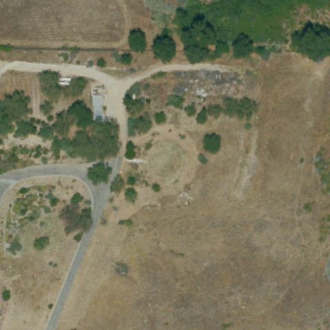
Aerial tile for 8CA6Confirmed

8CA6 Yucca Valley Service Center

YUCCA VALLEY, CA

34.1248972220001, -116.413602778

Concrete pad with dashed square border and H marking clearly visible at center of this service center.

✓ Confirmed by AI vision with Claude Opus 4.8

93% confidence Verify on the map →
Is there really a pad here?
Aerial tile for CA82Confirmed

CA82 Scripps Meml Hospital

ENCINITAS, CA

33.0370833330001, -117.285083333

Rooftop H marking on hospital building visible at center; pad is clearly defined.

✓ Confirmed by AI vision with Claude Opus 4.8

92% confidence Verify on the map →
Is there really a pad here?
Aerial tile for 6CA7Confirmed

6CA7 Palomar Medical Center

ESCONDIDO, CA

33.122372222, -117.121816667

Rooftop H pad clearly visible at center of hospital building.

✓ Confirmed by AI vision with Claude Opus 4.8

91% confidence Verify on the map →
Is there really a pad here?
Aerial tile for 95CNConfirmed

95CN Desert Valley Medical Center

VICTORVILLE, CA

34.471747222, -117.296813889

Ground-level circular pad with H marking at center of hospital grounds.

✓ Confirmed by AI vision with Claude Opus 4.8

90% confidence Verify on the map →
Is there really a pad here?
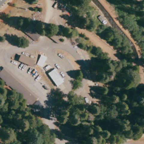
Aerial tile for CA02Confirmed

CA02 Adventist Health Howard Meml

WILLITS, CA

39.389126806, -123.339293611

Ground-level circular helipad with H visible at center of hospital campus.

✓ Confirmed by AI vision with Claude Opus 4.8

88% confidence Verify on the map →
Is there really a pad here?
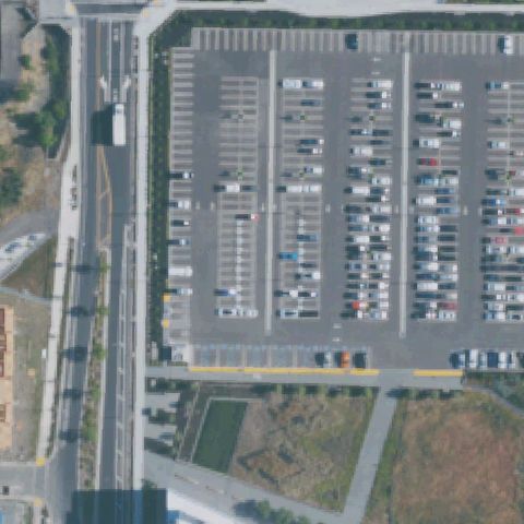
Aerial tile for 92CNConfirmed

92CN Riverside County Sheriff, Palm Desert Station

PALM DESERT, CA

33.7855555560001, -116.379055556

Square pad area with faint H visible at center of what appears to be a sheriff station facility.

✓ Confirmed by AI vision with Claude Opus 4.8

78% confidence Verify on the map →
Is there really a pad here?
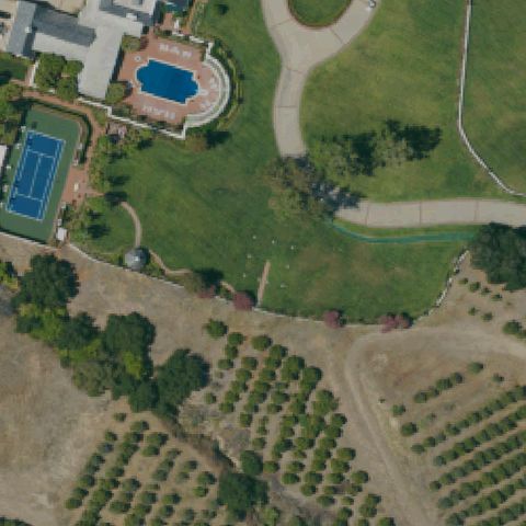
Aerial tile for CN93Confirmed

CN93 Sierra Vista Rgnl Medical Center

SAN LUIS OBISPO, CA

35.2938888890001, -120.666111111

Rooftop H pad clearly visible at center of Sierra Vista Regional Medical Center building.

✓ Confirmed by AI vision with Claude Opus 4.8

93% confidence Verify on the map →
Is there really a pad here?
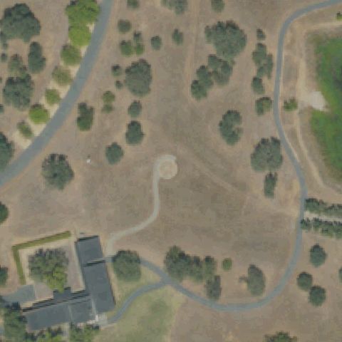
Aerial tile for CN88Confirmed

CN88 Kaiser Medical Center Vacaville

VACAVILLE, CA

38.3887500000001, -121.940416667

Ground-level circular pad visible at center near hospital; no H text visible but circle touchdown marker is clear.

✓ Confirmed by AI vision with Claude Opus 4.8

82% confidence Verify on the map →
Is there really a pad here?
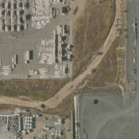
Aerial tile for 10CLConfirmed

10CL Centerport

COSTA MESA, CA

33.6716916670001, -117.874761111

Two helicopters actively parked on circular rooftop pads visible at center of building; active helicopter base.

✓ Confirmed by AI vision with Claude Opus 4.8

95% confidence Verify on the map →
Is there really a pad here?
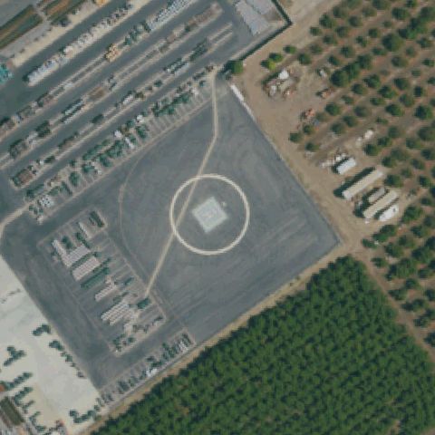
Aerial tile for 00CNConfirmed

00CN Kitchen Creek Helibase

PINE VALLEY, CA

32.7273736110001, -116.459741667

Multiple ground-level helibase pads with H markings visible at center of Kitchen Creek helibase facility.

✓ Confirmed by AI vision with Claude Opus 4.8

90% confidence Verify on the map →
Is there really a pad here?
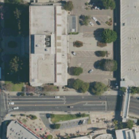
Aerial tile for CN16Confirmed

CN16 Mercy Hospital of Folsom

FOLSOM, CA

38.6708611110001, -121.142838889

Ground-level circular pad with H marking visible at center of hospital grounds.

✓ Confirmed by AI vision with Claude Opus 4.8

90% confidence Verify on the map →
Is there really a pad here?
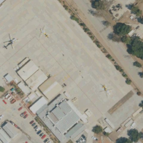
Aerial tile for 10CNConfirmed

10CN Adventist Health St Helena

ST HELENA, CA

38.5433333330001, -122.475

Circular pad on grass with letter visible at center; distinct prepared landing area for Adventist Health St Helena.

✓ Confirmed by AI vision with Claude Opus 4.8

88% confidence Verify on the map →
Is there really a pad here?
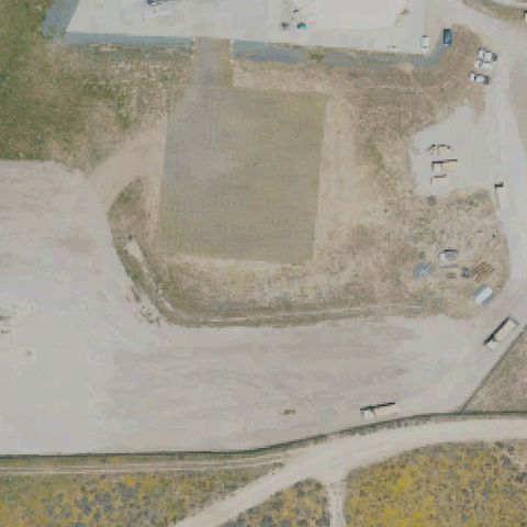
Aerial tile for CN49Confirmed

CN49 Sutter Roseville Medical Center

ROSEVILLE, CA

38.7665981110001, -121.248095

Ground-level circular pad with H marking visible at center of Sutter Roseville Medical Center.

✓ Confirmed by AI vision with Claude Opus 4.8

90% confidence Verify on the map →
Is there really a pad here?
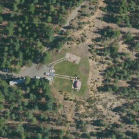
Aerial tile for 75CLConfirmed

75CL Ronald Reagan Ucla Medical Center Helistop

LOS ANGELES, CA

34.0667361110001, -118.446383333

Two large rooftop H pads clearly visible at center of Ronald Reagan UCLA Medical Center.

✓ Confirmed by AI vision with Claude Opus 4.8

97% confidence Verify on the map →
Is there really a pad here?
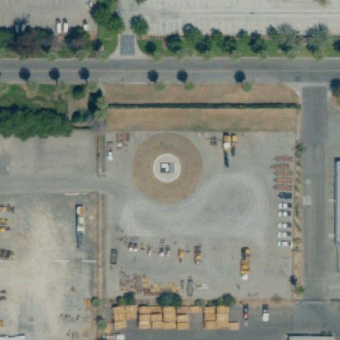
Aerial tile for CN30Confirmed

CN30 Oceanside Fire Department

OCEANSIDE, CA

33.2115833330001, -117.354166667

Small square pad with H visible at center of Oceanside Fire Department facility.

✓ Confirmed by AI vision with Claude Opus 4.8

80% confidence Verify on the map →
Is there really a pad here?
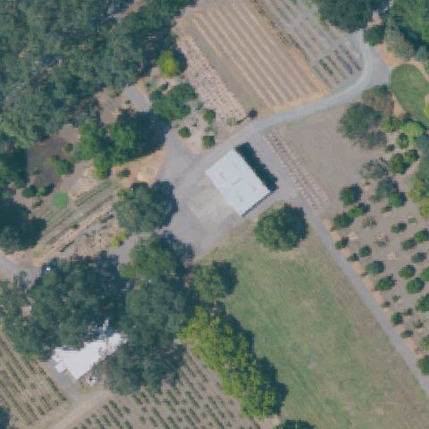
Aerial tile for CN52Confirmed

CN52 Oroville Hospital

OROVILLE, CA

39.5074503330001, -121.541554444

Ground-level circular pad with cross/H markings clearly visible at center of hospital grounds.

✓ Confirmed by AI vision with Claude Opus 4.8

93% confidence Verify on the map →
Is there really a pad here?
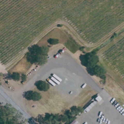
Aerial tile for 98CLConfirmed

98CL Temecula Valley Hospital

TEMECULA, CA

33.4802083330001, -117.107988889

Ground-level circular pad with H marking visible at center of Temecula Valley Hospital grounds.

✓ Confirmed by AI vision with Claude Opus 4.8

92% confidence Verify on the map →
Is there really a pad here?
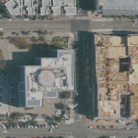
Aerial tile for 57CAConfirmed

57CA Loma Ridge Communication Center

ORANGE, CA

33.7655333330001, -117.744125

Square concrete pad visible at center in a hillside communication center area.

✓ Confirmed by AI vision with Claude Opus 4.8

78% confidence Verify on the map →
Is there really a pad here?
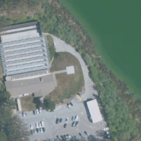
Aerial tile for CA17Confirmed

CA17 Rancho Springs Medical Center Landing Site

MURRIETA, CA

33.5586000000001, -117.182119444

Ground-level circular pad with H marking visible at center of Rancho Springs Medical Center.

✓ Confirmed by AI vision with Claude Opus 4.8

91% confidence Verify on the map →
Is there really a pad here?
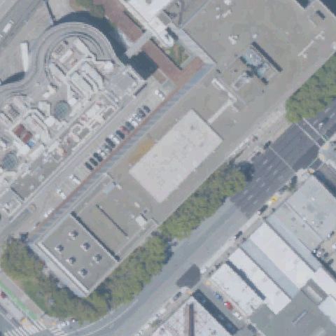
Aerial tile for CA80Confirmed

CA80 Meml Hospital Los Banos

LOS BANOS, CA

37.0645155560001, -120.858963333

Square concrete pad visible at center of this hospital facility in Los Banos.

✓ Confirmed by AI vision with Claude Opus 4.8

82% confidence Verify on the map →
Is there really a pad here?
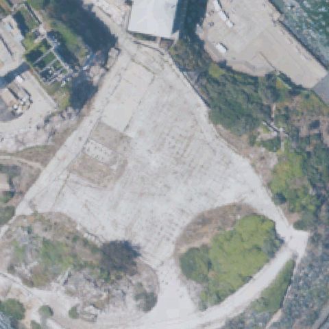
Aerial tile for CA75Confirmed

CA75 Simi Valley Hospital

SIMI VALLEY, CA

34.2891888890001, -118.746008333

Circular ground pad with white cross/circle touchdown marker visible near image center in landscaped area adjacent to hospital.

✓ Confirmed by AI vision with Claude Opus 4.8

80% confidence Verify on the map →
Is there really a pad here?
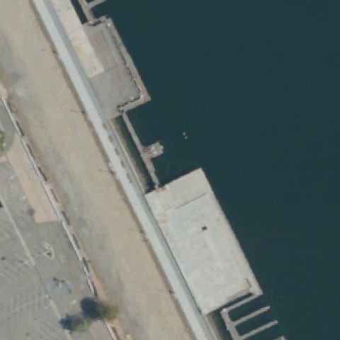
Aerial tile for 1CA2Confirmed

1CA2 Riverside County Sheriff Thermal

THERMAL, CA

33.639377778, -116.153027778

Clear white H marking inside a square touchdown zone on a concrete pad near image center.

✓ Confirmed by AI vision with Claude Opus 4.8

97% confidence Verify on the map →
Is there really a pad here?
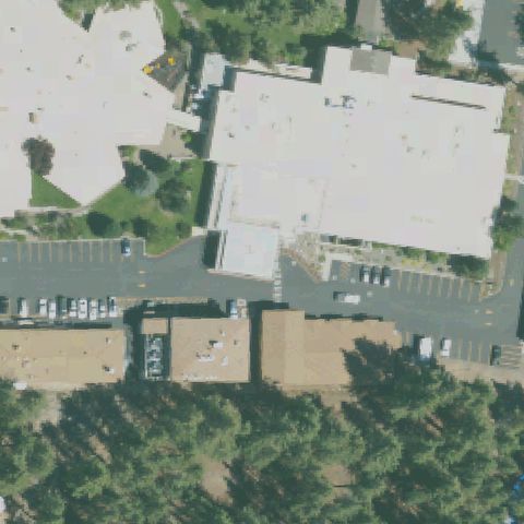
Aerial tile for 19CLConfirmed

19CL Clovis Community Medical Center

CLOVIS, CA

36.8385888890001, -119.659086111

Ground-level helipad with square outline and H marking visible just below center near the hospital building.

✓ Confirmed by AI vision with Claude Opus 4.8

90% confidence Verify on the map →
Is there really a pad here?
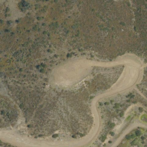
Aerial tile for CA10Confirmed

CA10 John C Fremont Hospital

MARIPOSA, CA

37.4997472220001, -119.977836111

Circular helipad marking with cross visible on gravel/dirt pad near image center adjacent to hospital.

✓ Confirmed by AI vision with Claude Opus 4.8

85% confidence Verify on the map →
Is there really a pad here?
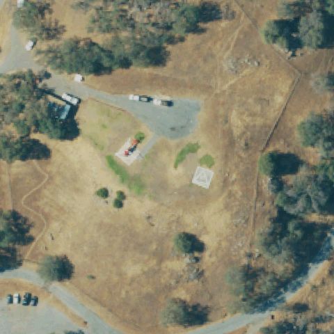
Aerial tile for CA96Confirmed

CA96 St Agnes Medical Center

FRESNO, CA

36.835911111, -119.764797222

Clear H cross marking on rooftop helipad is visible at image center on the hospital roof.

✓ Confirmed by AI vision with Claude Opus 4.8

97% confidence Verify on the map →
Is there really a pad here?
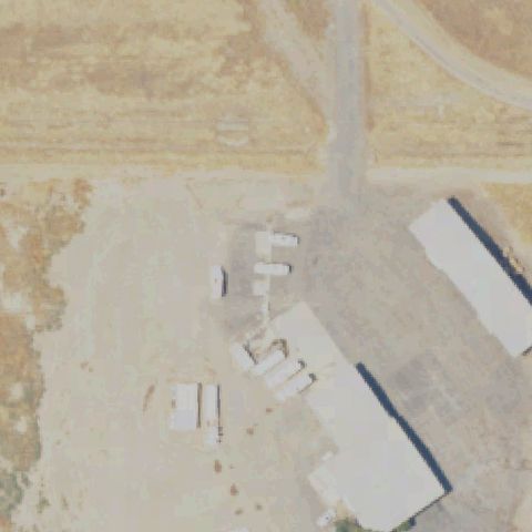
Aerial tile for 55CAConfirmed

55CA Stanford Health Care-Valleycare

PLEASANTON, CA

37.694413889, -121.880897222

Ground-level pad with clear red H cross marking on a concrete surface near image center.

✓ Confirmed by AI vision with Claude Opus 4.8

95% confidence Verify on the map →
Is there really a pad here?
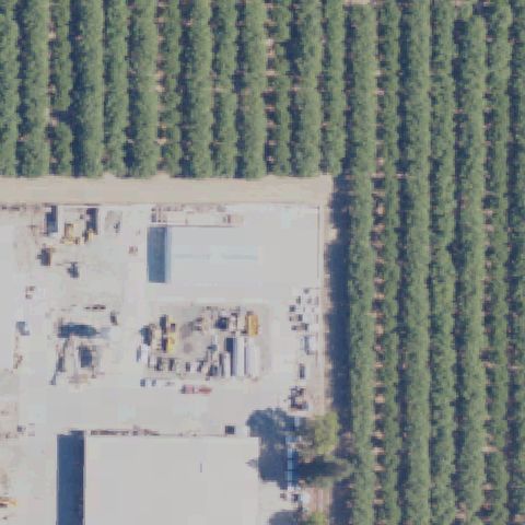
Aerial tile for 45CAConfirmed

45CA Kaiser Permanente Medical Center Santa Clara

SANTA CLARA, CA

37.3349555560001, -121.999816667

Large red H cross marking on a concrete ground helipad clearly visible near image center.

✓ Confirmed by AI vision with Claude Opus 4.8

97% confidence Verify on the map →
Is there really a pad here?
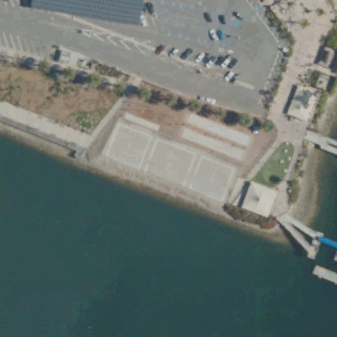
Aerial tile for 33CAConfirmed

33CA Sonora Rgnl Medical Center

SONORA, CA

37.9770583330001, -120.371938889

Circular helipad with white cross marker on gravel/dirt surface is visible near the image center.

✓ Confirmed by AI vision with Claude Opus 4.8

90% confidence Verify on the map →
Is there really a pad here?
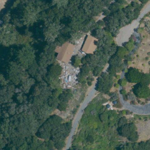
Aerial tile for CN90Confirmed

CN90 Api Gateway

CALEXICO, CA

32.6758833330001, -115.372027778

Faint dotted circle boundary with H-like center marking on asphalt near image center in desert industrial setting.

✓ Confirmed by AI vision with Claude Opus 4.8

75% confidence Verify on the map →
Is there really a pad here?
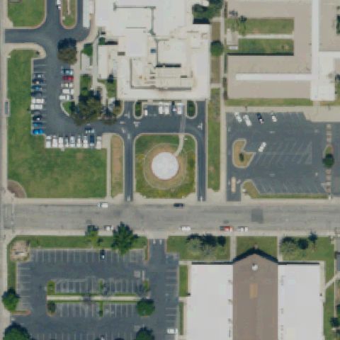
Aerial tile for CN67Confirmed

CN67 Rotorcraft Support Inc/Rsi

FILLMORE, CA

34.391227778, -118.932997222

Multiple circle-marked helipads on large asphalt surface with RSI text and helicopter parked; center pad is clearly a helicopter operations area.

✓ Confirmed by AI vision with Claude Opus 4.8

99% confidence Verify on the map →
Is there really a pad here?
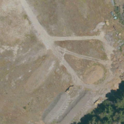
Aerial tile for CN55Confirmed

CN55 Mercy Hospital Southwest

BAKERSFIELD, CA

35.3500000000001, -119.112222222

Small square pad outline visible on grass near center of image adjacent to hospital building; markings faint but consistent with a helipad.

✓ Confirmed by AI vision with Claude Opus 4.8

70% confidence Verify on the map →
Is there really a pad here?
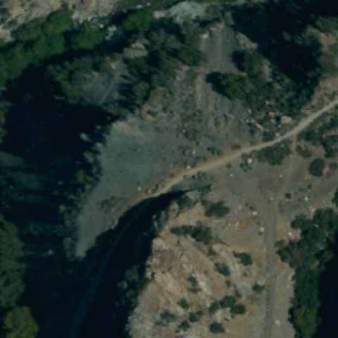
Aerial tile for CL90Confirmed

CL90 Pendry Ehlf

WEST HOLLYWOOD, CA

34.094908333, -118.373180556

Rooftop helipad with H circle marking clearly visible near center of image on urban building roof.

✓ Confirmed by AI vision with Claude Opus 4.8

92% confidence Verify on the map →
Is there really a pad here?
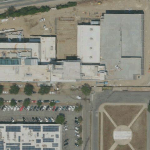
Aerial tile for CA14Confirmed

CA14 Doctors Medical Center

MODESTO, CA

37.6654611110001, -120.997511111

Rooftop circle marking visible near center of hospital complex roof area.

✓ Confirmed by AI vision with Claude Opus 4.8

80% confidence Verify on the map →
Is there really a pad here?
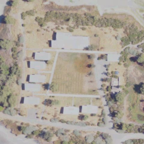
Aerial tile for 21CNConfirmed

21CN Vermont Corridor County Admin Ehlf

LOS ANGELES, CA

34.064519444, -118.291272222

Faint H circle marking on a rooftop surface near image center in urban Los Angeles.

✓ Confirmed by AI vision with Claude Opus 4.8

75% confidence Verify on the map →
Is there really a pad here?
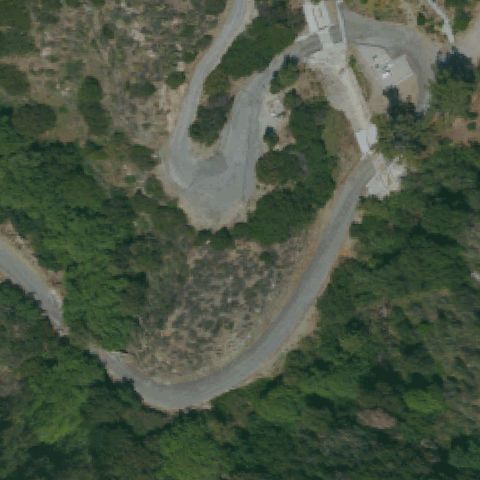
Aerial tile for CA93Confirmed

CA93 Ventura County Medical Center

VENTURA, CA

34.2765555560001, -119.252638889

Clear H circle marking on hospital rooftop helipad visible at image center.

✓ Confirmed by AI vision with Claude Opus 4.8

92% confidence Verify on the map →
Is there really a pad here?
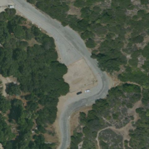
Aerial tile for CA54Confirmed

CA54 La County Sheriff-Santa Clarita Station

SANTA CLARITA, CA

34.408333333, -118.504444444

Blue circle helipad marking on concrete pad visible at image center at this law enforcement facility.

✓ Confirmed by AI vision with Claude Opus 4.8

88% confidence Verify on the map →
Is there really a pad here?
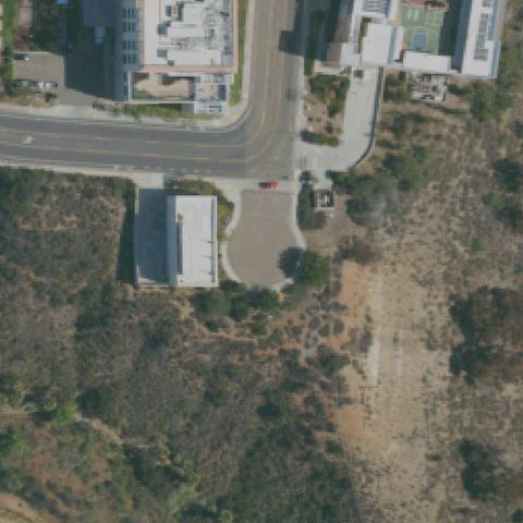
Aerial tile for CN96Confirmed

CN96 Mercy Medical Center Mt Shasta

MOUNT SHASTA, CA

41.3186111110001, -122.320055556

Distinct circular concrete helipad with cross markings visible near image center adjacent to hospital.

✓ Confirmed by AI vision with Claude Opus 4.8

90% confidence Verify on the map →
Is there really a pad here?