 Not visible
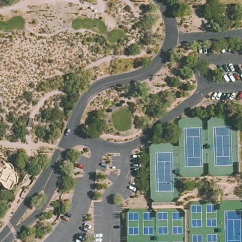
AZ91 The Boulders
CAREFREE, AZ
33.8020527780001, -111.918741667
Center shows tennis courts, parking and landscaping with no pad.
85% confidence
Verify on the map →
Is there really a pad here?
Data: FAA Airports (ArcGIS open layer) | Imagery: USGS NAIP (public domain) | AI vision: Claude Opus 4.8 | built 2026-07-05
A flag means a pad could not be confirmed from current imagery - never that a heliport is missing, fake, or mislocated. Help us check: vote on each one below.
Not visibleCAREFREE, AZ
33.8020527780001, -111.918741667
Center shows tennis courts, parking and landscaping with no pad.
 Not visible
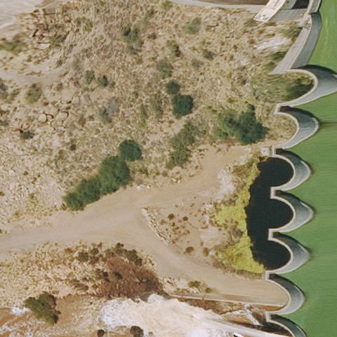
CAREFREE, AZ
33.8186527780001, -111.632638333
Dam spillway and riverbed at center, no landing pad visible.
 Not visible
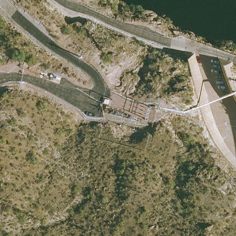
GOLDFIELD, AZ
33.553379722, -111.444854444
Dam and forested terrain at center with no pad.
 Not visible
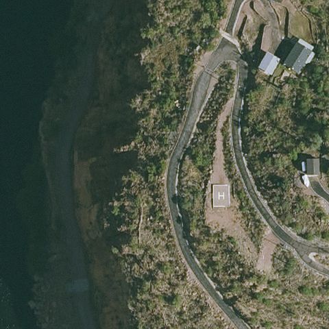
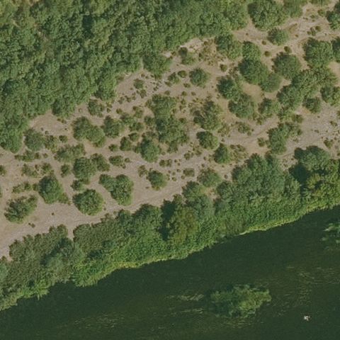
GOLDFIELD, AZ
33.5825472220001, -111.357351944
Forested slope, road and river with no visible pad.
 Not visible
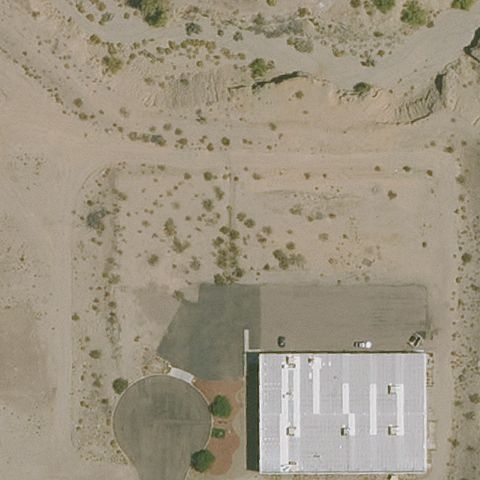
GOLDFIELD, AZ
33.5522675, -111.549023056
Open scrub and water edge with no landing area visible.
 Not visible
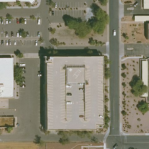
LAKE HAVASU CITY, AZ
34.51, -114.344166667
Building and bare desert lot with no pad at center.
 Not visible
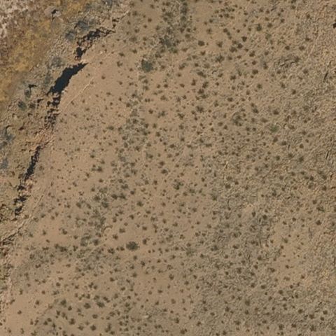
MESA, AZ
33.381041667, -111.828819444
Generic building rooftop at center with no pad marking.
 Not visible
PEACH SPRINGS, AZ
36.0480425000001, -113.858285556
Open desert terrain with no landing area visible.
 Not visible
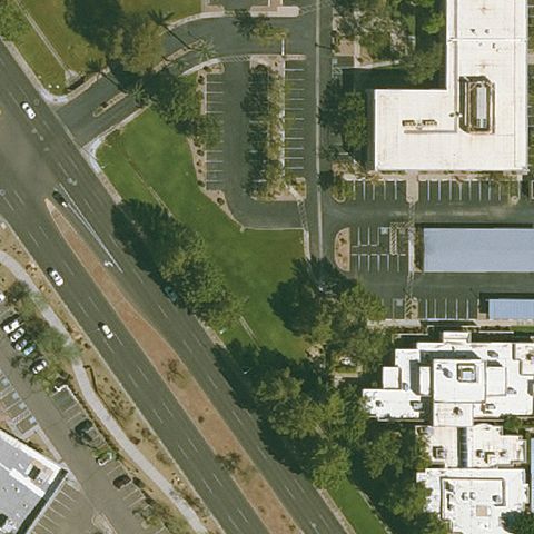
PHOENIX, AZ
33.593188889, -111.978980556
Roads, trees and buildings with no pad at center.
 Not visible
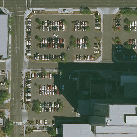
PHOENIX, AZ
33.465043333, -112.060147778
Parking lots full of cars with no helipad at center.
 Not visible
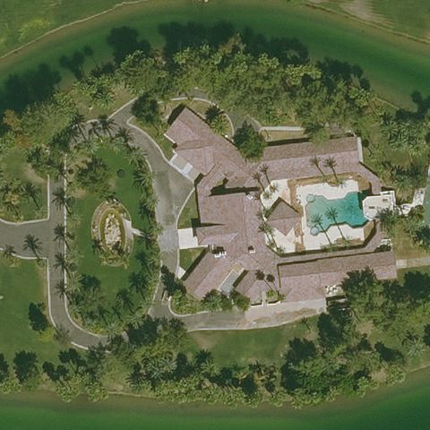
CHANDLER, AZ
33.227551111, -111.853471667
Estate with pool and driveways, no helipad at center.
 Not visible
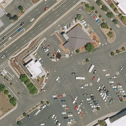
FLAGSTAFF, AZ
35.2236225, -111.583215833
Mall building and parking lot with no pad at center.
 Not visible
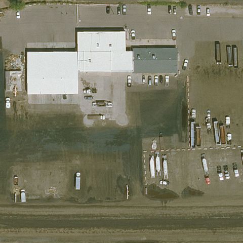
MESA, AZ
33.443341667, -111.858441667
Industrial building and yard with no pad at center.
 Not visible
PEACH SPRINGS, AZ
36.1083161110001, -113.213263333
Open desert terrain with no landing area visible.
 Not visible
PEACH SPRINGS, AZ
36.026098333, -113.828006111
Bare desert ground with no pad at center.
 Not visible
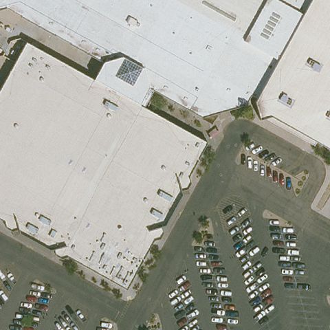
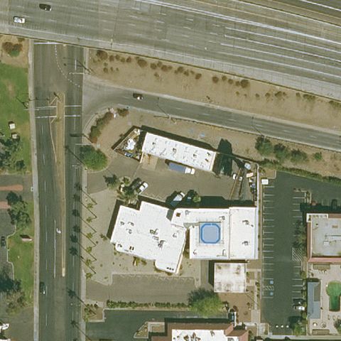
PHOENIX, AZ
33.4755977780001, -112.223765
Mall roof and parking lot with no pad at center.
 Not visible
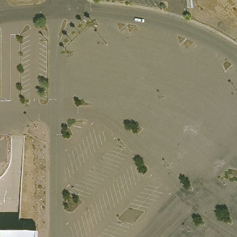
PHOENIX, AZ
33.425877778, -112.029869167
Office building with pool, no helipad at center.
 Not visible
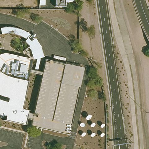
PHOENIX, AZ
33.5778186110001, -112.121263056
Open field and empty parking with no pad at center.
 Not visible
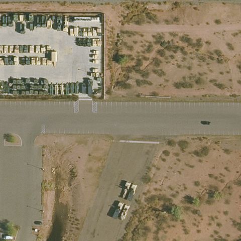
PHOENIX, AZ
33.4541861110001, -111.983730556
Buildings beside a road with no helipad at center.
 Not visible
PHOENIX, AZ
33.4719883330001, -111.963756667
Center is a road and desert lots with no pad marking.
 Not visible
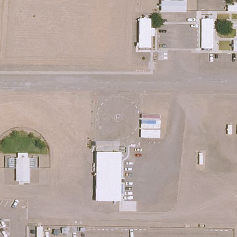
SAFFORD, AZ
32.8300166670001, -109.564325
Open dirt prison yard at center with no marked pad.
 Not visible
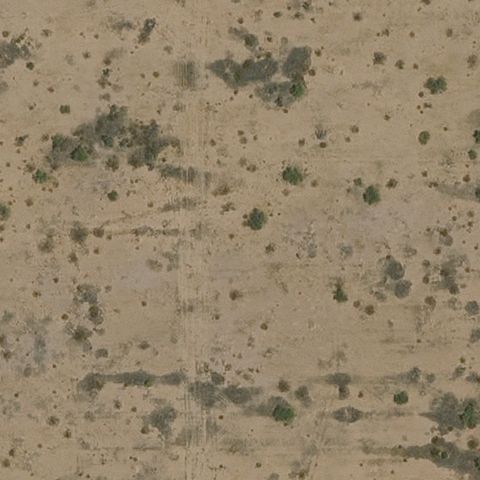
TONOPAH, AZ
33.397952778, -113.215147222
Blank weathered concrete/dirt surface with no pad markings.
 Not visible
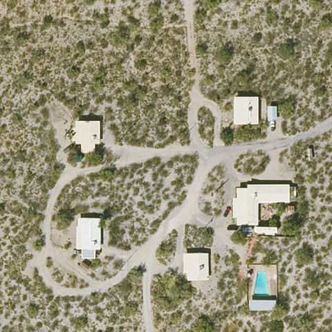
TUCSON, AZ
32.1788888890001, -110.739722222
Desert with scattered homes and dirt tracks, no pad at center.
 Not visible
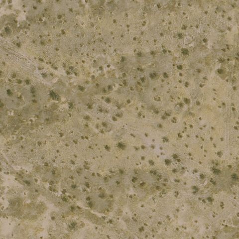
QUEEN CREEK, AZ
33.2513888890001, -111.518055556
Open desert scrub with no pad or markings at center.
 Not visible
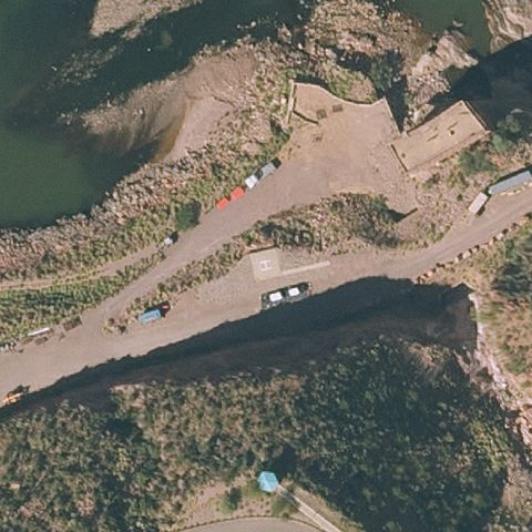
ROOSEVELT, AZ
33.6695500000001, -111.163811111
Rocky terrain and roadway near dam with no marked pad.
 Not visible
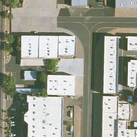
SCOTTSDALE, AZ
33.6245000000001, -111.921333333
Residential buildings and street at center, no pad visible.
 Not visible
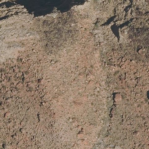
SUPAI VILLAGE, AZ
36.1916480560001, -113.092426944
Bare rocky terrain with no pad or markings.
 Not visible
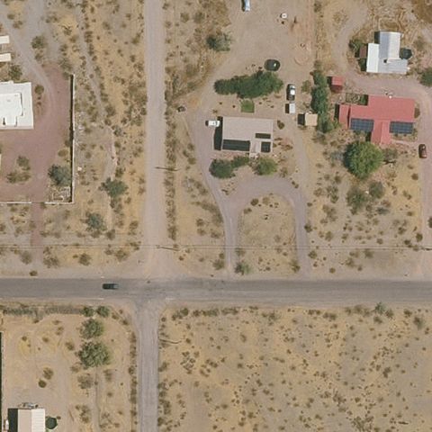
SURPRISE, AZ
33.7533333330001, -112.416388889
Desert lots and roads with no pad at center.
 Not visible
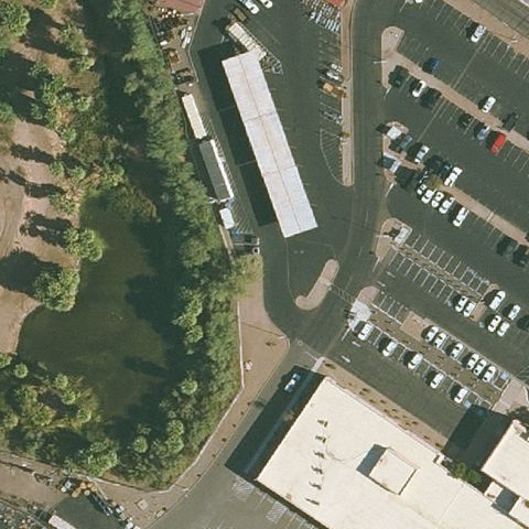
TEMPE, AZ
33.441711389, -111.950143889
Parking lots and buildings at center, no pad visible.
 Not visible
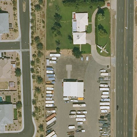
TOLLESON, AZ
33.515275, -112.255711111
Industrial buildings and lots at center, no helipad marking.
 Not visible
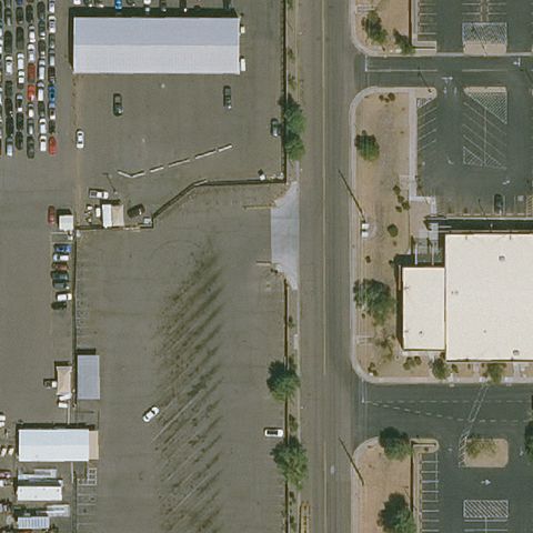
TOLLESON, AZ
33.4497647220001, -112.229875833
Parking lot and buildings at center with no pad.
 Not visible
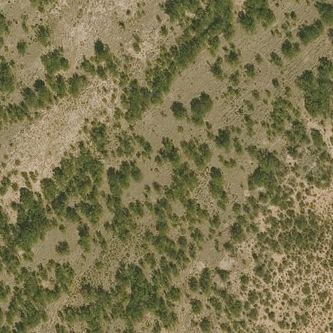
TOMBSTONE, AZ
31.6005555560001, -110.068611111
Desert scrub vegetation with no pad or markings.
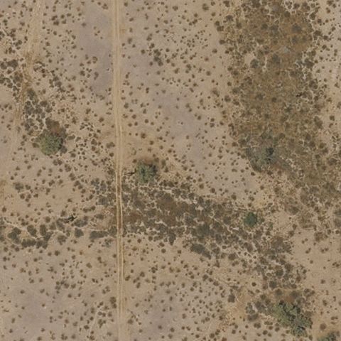 Not visible
TONOPAH, AZ
33.5027777780001, -112.785833333
Open desert with a dirt road, no pad at center.
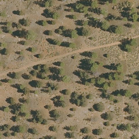 Not visible
TUSAYAN, AZ
35.9749841670001, -112.131279722
Forested/desert terrain with no pad visible.
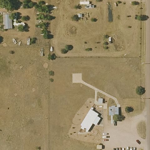 Not visible
YOUNG, AZ
34.102413889, -110.960336111
Rural fields and buildings with no marked pad at center.
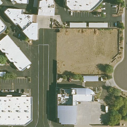 Not visible
SCOTTSDALE, AZ
33.6301130000001, -111.909008
Empty lot and street between hangars, no pad at center.
 Not visible
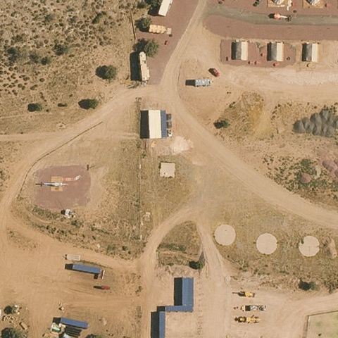
MEADVIEW, AZ
35.941491667, -113.907986111
Rural dirt lots with tanks and buildings, no helipad marking.
 Not visible
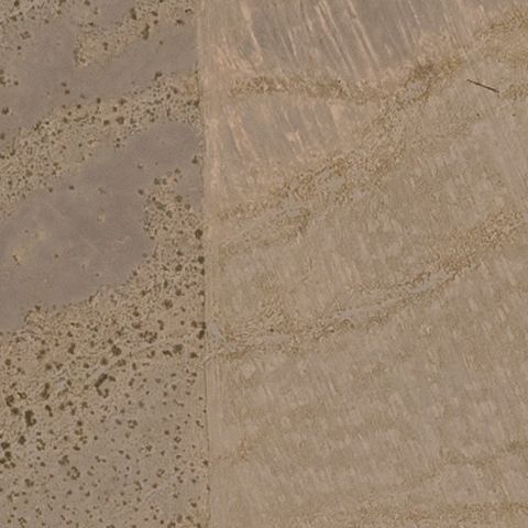
WHITE HILLS, AZ
35.7182583330001, -114.486722222
Center is bare sand and dirt with no visible pad or markings.
 Not visible
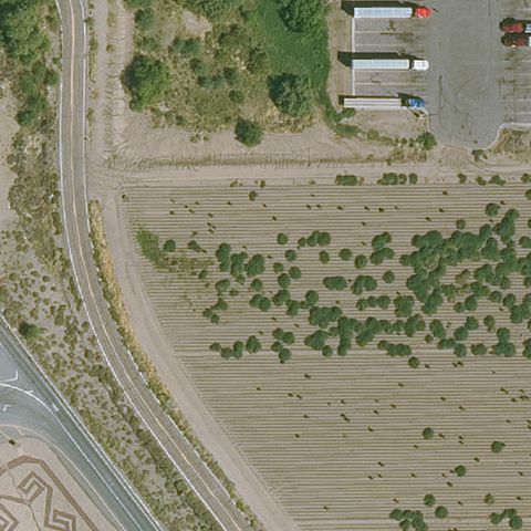
ELOY, AZ
32.73675, -111.549417
Center is open desert field with no prepared pad, likely predating construction.
 Not visible
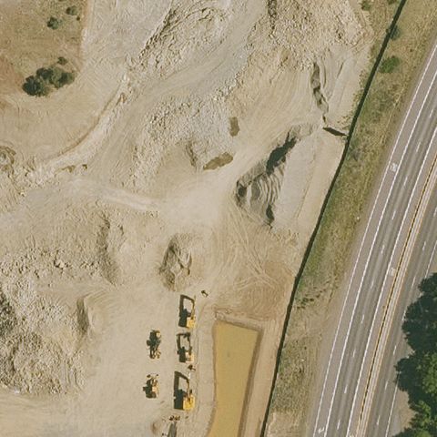
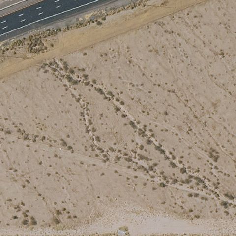
PRESCOTT, AZ
34.5587390000001, -112.3808
Center shows bare graded dirt and construction with no pad present.
 Not visible
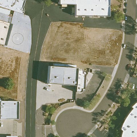
BUCKEYE, AZ
33.4582888890001, -112.511497222
Center is undeveloped desert scrub with no visible landing area.
 Not visible
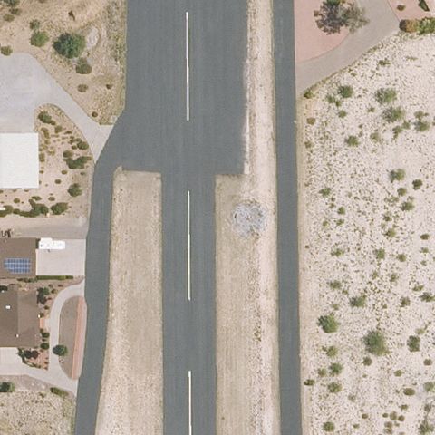
SCOTTSDALE, AZ
33.6316694440001, -111.904461111
Center is an empty dirt lot with no pad or markings visible.
 Off-center
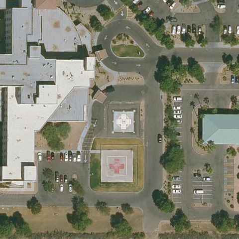
CAMP VERDE, AZ
34.6080555560001, -111.864722222
Faint helipad-style marking on the airstrip slightly below center.
 Off-center
GOODYEAR, AZ
33.461311111, -112.352761111
Maroon square pad with white H present but left of center.
 Off-center
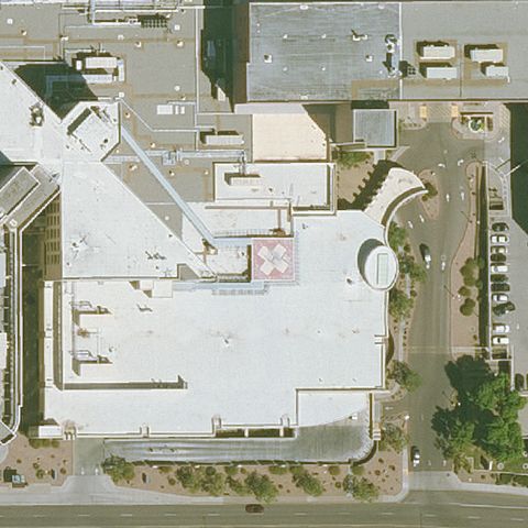
MESA, AZ
33.4111222220001, -111.687030556
Circular rooftop pad marking visible just right of center.
 Off-center
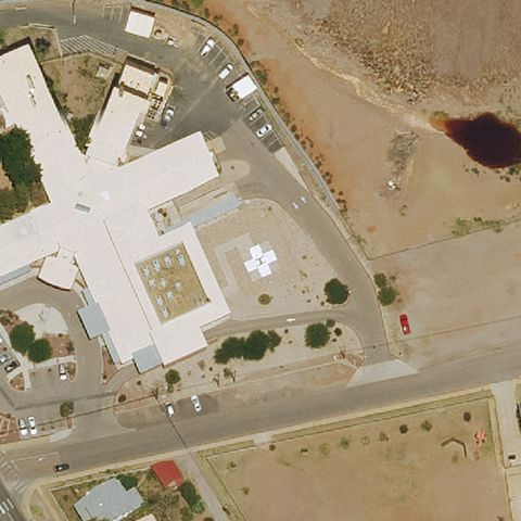
BISBEE, AZ
31.417688889, -109.882466667
White H pad visible just right of center near the hospital.
 Off-center
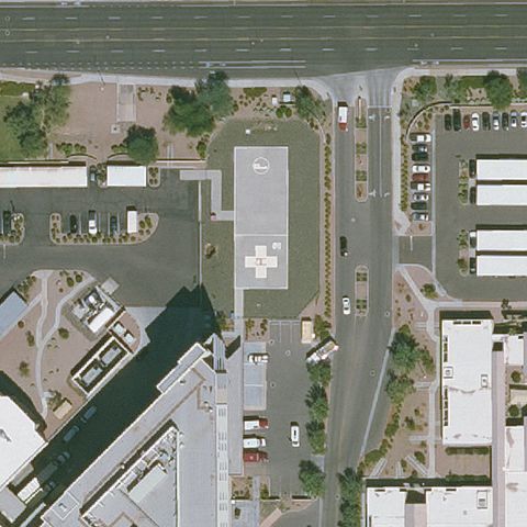
CHANDLER, AZ
33.2981194440001, -111.873525
White H pad visible left of center at the medical center.
 Off-center
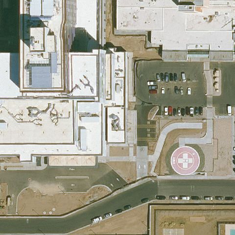
PHOENIX, AZ
33.4568, -112.026997222
Maroon pad with white H visible right of center.
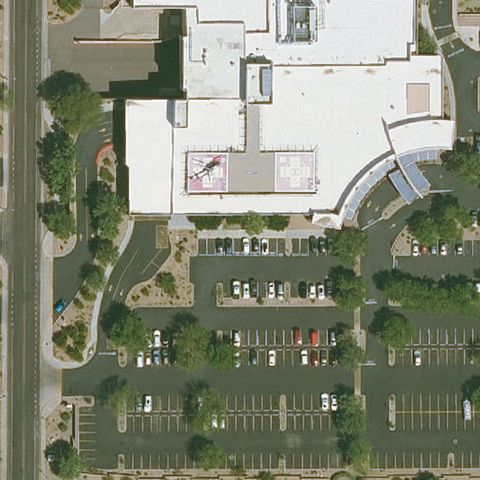 Off-center
PHOENIX, AZ
33.568652222, -112.070983056
Red rooftop pad with white H left of center.
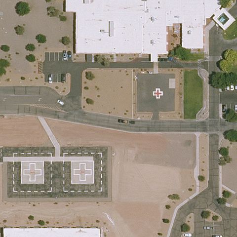 Off-center
SAFFORD, AZ
32.821938889, -109.7355
Red square pad with white H and medical cross visible right of center.
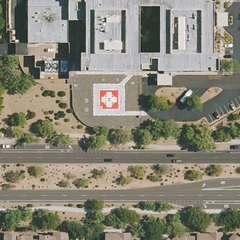 Off-center
SCOTTSDALE, AZ
33.6700000000001, -111.922222222
Red square pad with H and cross marking visible right of center near the hospital.
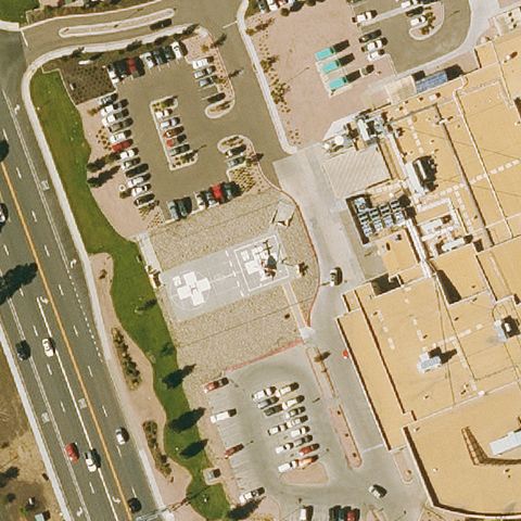 Off-center
SHOW LOW, AZ
34.2027722220001, -110.018830556
Faint circular marking on paved lot left of center.
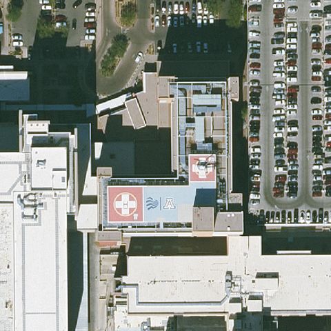 Off-center
TUCSON, AZ
32.2419861110001, -110.946408333
Red rooftop pad with white H and cross visible below center.
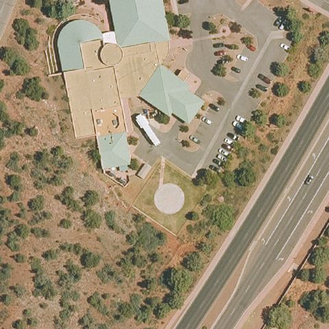 Off-center
SEDONA, AZ
34.8555555560001, -111.823333333
Circular pad marking visible below center near medical campus.
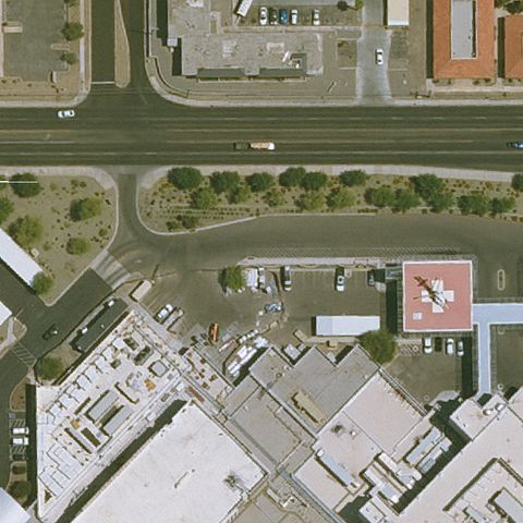 Off-center
YUMA, AZ
32.6836222220001, -114.635058333
Red pad with white H and cross visible right of center.
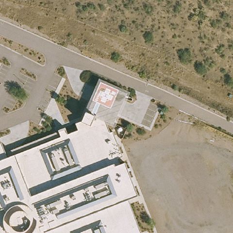 Off-center
GREEN VALLEY, AZ
31.8072222220001, -111.009444444
Red pad with white H marking left of center near medical center.
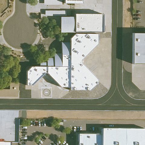 Off-center
SCOTTSDALE, AZ
33.6296083330001, -111.907594444
Faint circular pad marking visible below center near buildings.
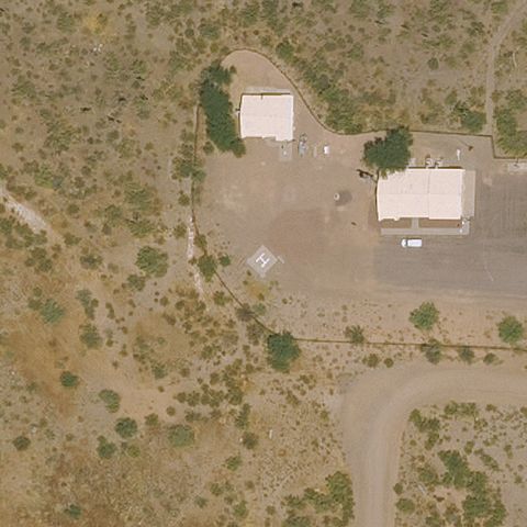 Uncertain
CAREFREE, AZ
33.9827861110001, -111.714172222
Buildings and dirt lot with a faint mark but no clear pad at center.
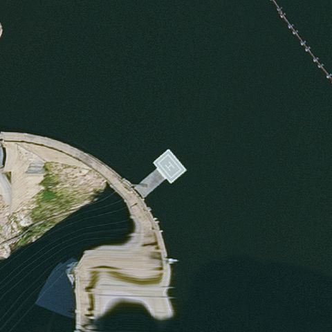 Uncertain
GOLDFIELD, AZ
33.5909333330001, -111.343638889
Reservoir with a dock-like structure but no clear helipad marking.
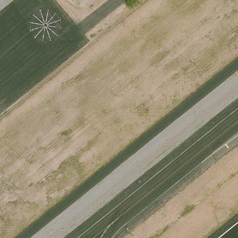 Uncertain
MESA, AZ
33.4632402780001, -111.728749722
Compass/windcone marker upper-left but no pad at center.
 Uncertain
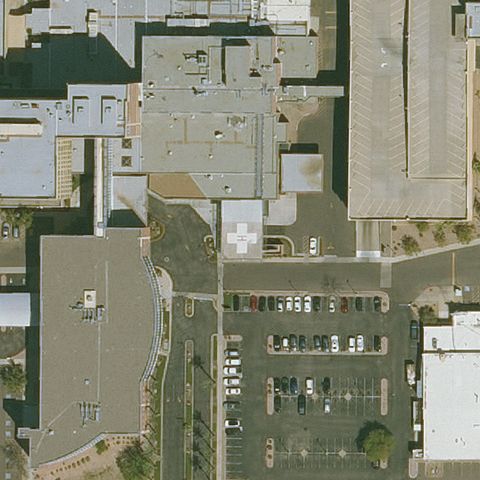
PHOENIX, AZ
33.525077778, -112.101713889
Hospital buildings and lots with no clear pad at center.
 Uncertain
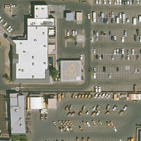
PHOENIX, AZ
33.4150333330001, -112.072355556
Industrial yard with a faint square but no clear pad marking.
 Uncertain
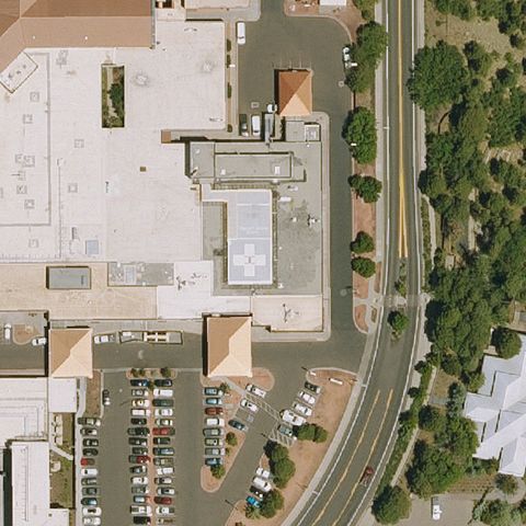
FLAGSTAFF, AZ
35.2083000000001, -111.643113889
Medical buildings and parking with no clear pad at center.
 Uncertain
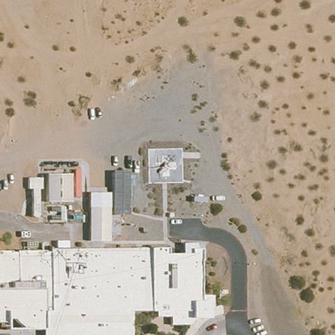
PARKER, AZ
34.137036111, -114.284922222
Small hospital building with a faint mark but no clear pad.
 Uncertain
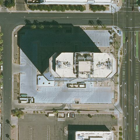
PHOENIX, AZ
33.483376111, -112.070148333
Building rooftop and lots with no clear pad at center.
 Uncertain
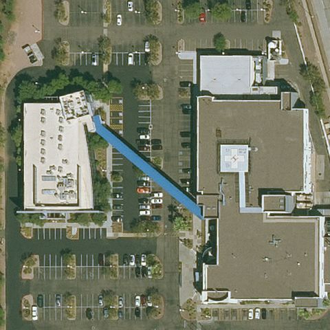
PHOENIX, AZ
33.48125, -112.040138889
Hospital buildings and parking with no clear pad at center.
 Uncertain
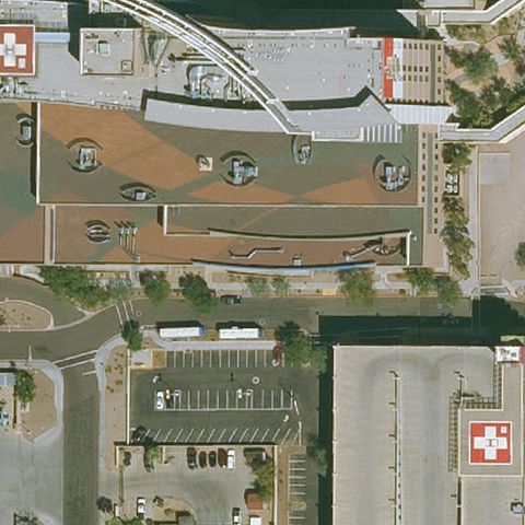
PHOENIX, AZ
33.478561111, -112.0415
Hospital complex at center but no distinct landing pad or H visible.
 Uncertain
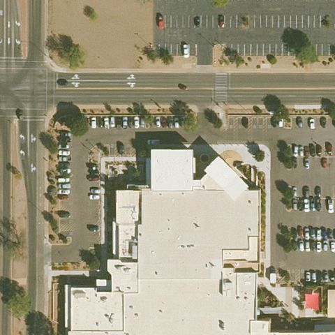
SIERRA VISTA, AZ
31.5518805560001, -110.27165
Building roof at center with no discernible pad marking.
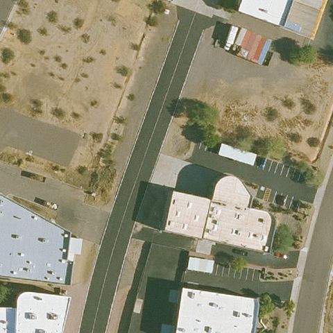 Uncertain
SCOTTSDALE, AZ
33.632244444, -111.906611111
Round-domed building at center with no helipad marking.
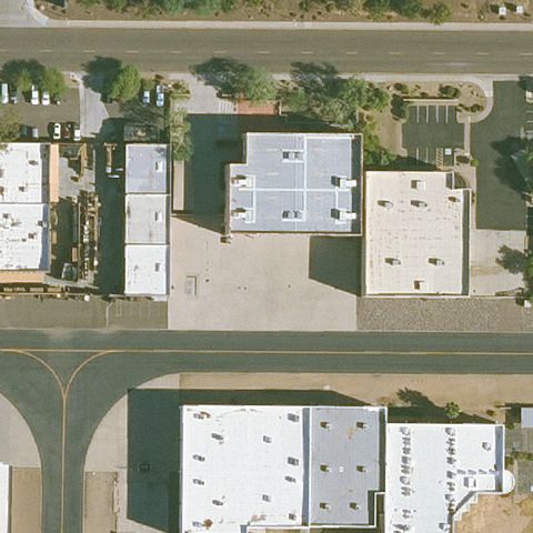 Uncertain
SCOTTSDALE, AZ
33.625152778, -111.918294444
Commercial buildings and lots at center with no pad.
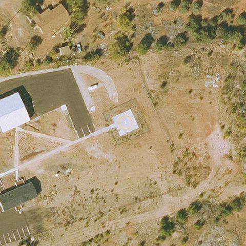 Uncertain
CIBICUE, AZ
34.039727778, -110.486905556
Center shows buildings and bare dirt with no distinct marked pad.
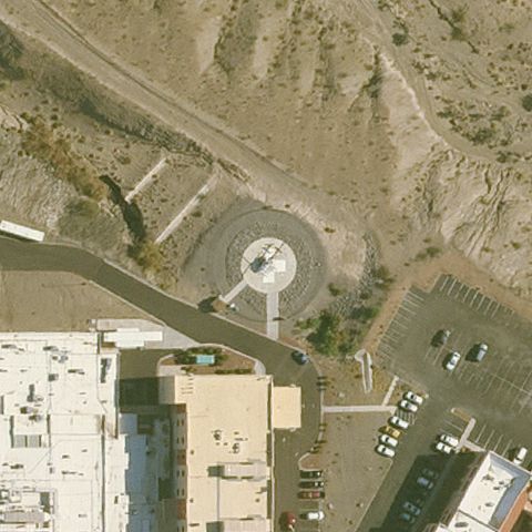 Confirmed
BULLHEAD CITY, AZ
35.1113583330001, -114.554291667
White H on circular touchdown pad at image center.
✓ Confirmed by AI vision with Claude Opus 4.8
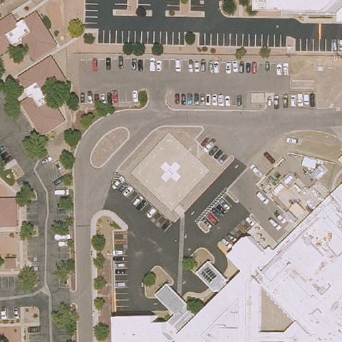 Confirmed
COTTONWOOD, AZ
34.7369861110001, -112.029630556
White H pad in a paved lot at image center.
✓ Confirmed by AI vision with Claude Opus 4.8
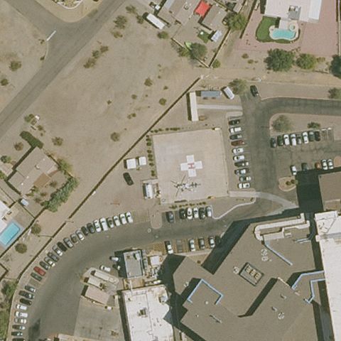 Confirmed
LAKE HAVASU CITY, AZ
34.4811230560001, -114.339121389
White H touchdown pad at image center near the hospital.
✓ Confirmed by AI vision with Claude Opus 4.8
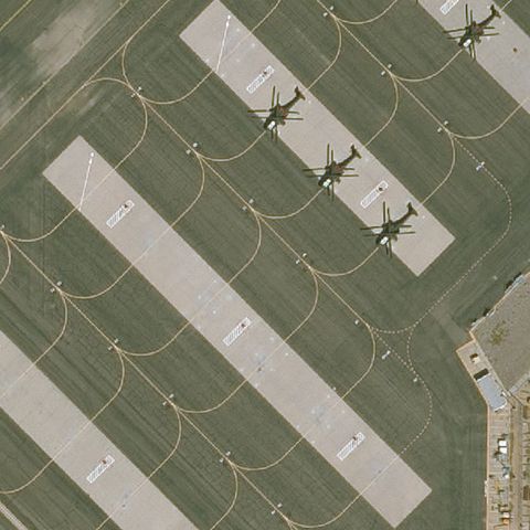 Confirmed
MESA, AZ
33.471047222, -111.726502778
Military apron with circular helo parking pads and a helicopter near center.
✓ Confirmed by AI vision with Claude Opus 4.8
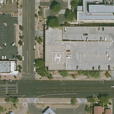 Confirmed
MESA, AZ
33.4176805560001, -111.838827778
Large white H painted on the paved lot at center.
✓ Confirmed by AI vision with Claude Opus 4.8
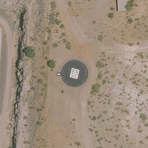 Confirmed
PHOENIX, AZ
33.8451527780001, -112.269836111
Dark circular prepared pad with weight marking at image center.
✓ Confirmed by AI vision with Claude Opus 4.8
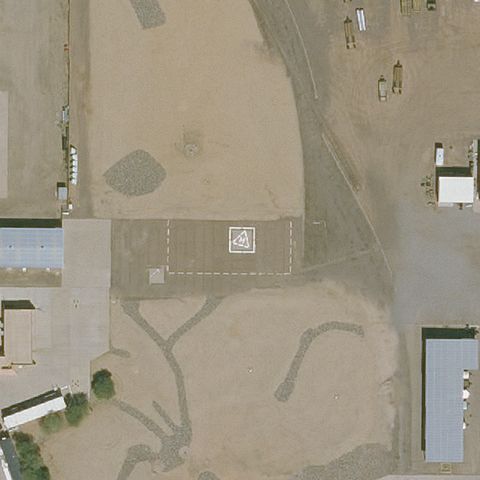 Confirmed
PHOENIX, AZ
33.442733333, -112.14915
Paved pad with white H marking near center.
✓ Confirmed by AI vision with Claude Opus 4.8
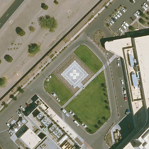 Confirmed
GILBERT, AZ
33.2884583330001, -111.752233333
White H pad on a grass plot at image center.
✓ Confirmed by AI vision with Claude Opus 4.8
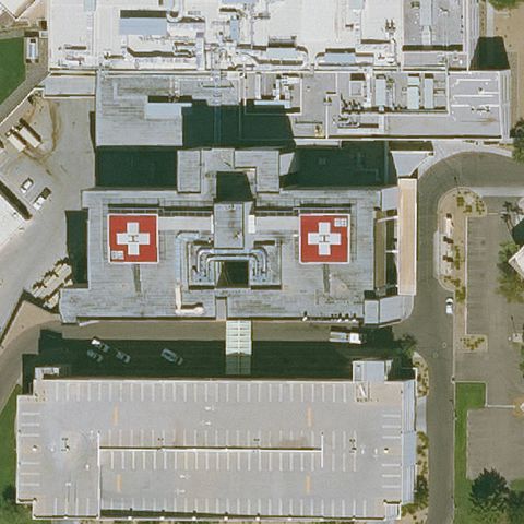 Confirmed
GLENDALE, AZ
33.6083333330001, -112.179597222
Two maroon rooftop pads with white H near center.
✓ Confirmed by AI vision with Claude Opus 4.8
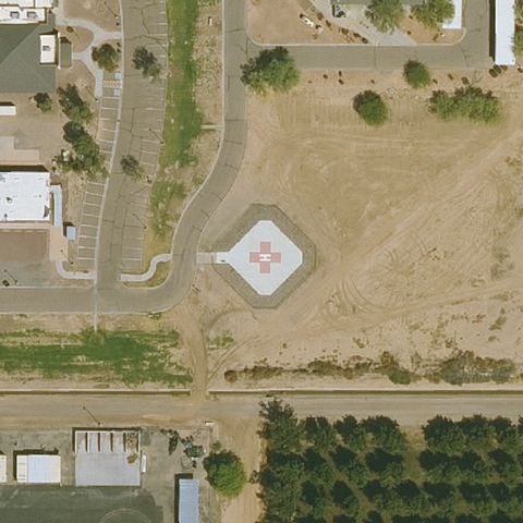 Confirmed
MARICOPA, AZ
33.0272944440001, -112.085127778
Square pad with red/white H marking at image center.
✓ Confirmed by AI vision with Claude Opus 4.8
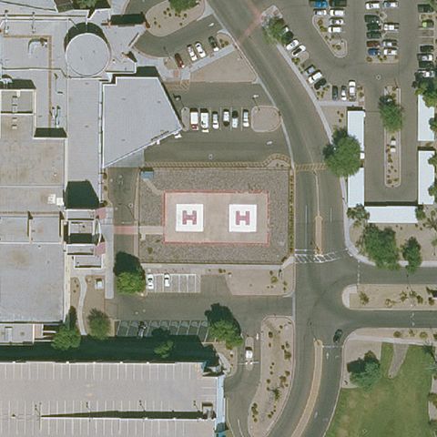 Confirmed
MESA, AZ
33.389525, -111.875755556
Two white H pads on red squares at image center.
✓ Confirmed by AI vision with Claude Opus 4.8
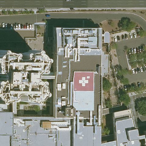 Confirmed
PHOENIX, AZ
33.465043333, -112.057925556
Red rooftop pad with white marking near center.
✓ Confirmed by AI vision with Claude Opus 4.8
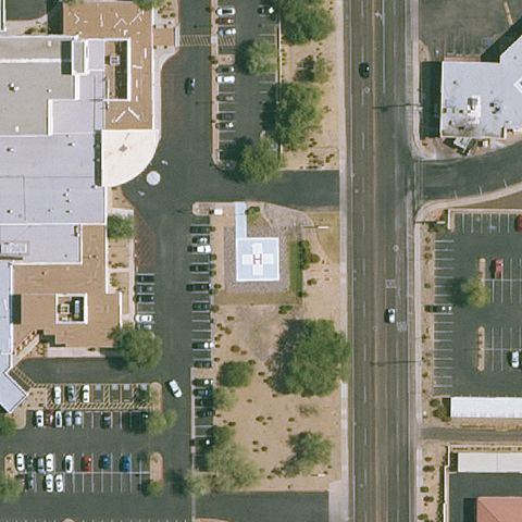 Confirmed
PHOENIX, AZ
33.6392750000001, -111.996530556
White prepared pad with marking at image center.
✓ Confirmed by AI vision with Claude Opus 4.8
 Confirmed
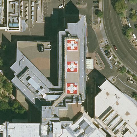
PHOENIX, AZ
33.4828833330001, -112.079497222
Stacked red rooftop pads with white H near center.
✓ Confirmed by AI vision with Claude Opus 4.8
 Confirmed
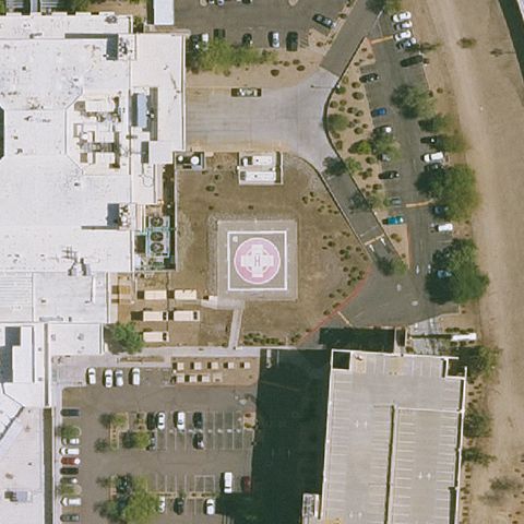
PHOENIX, AZ
33.6659083330001, -112.115316667
Circular pad with H marking at image center.
✓ Confirmed by AI vision with Claude Opus 4.8
 Confirmed
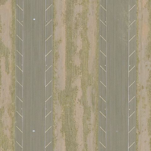
PICACHO, AZ
32.6633305560001, -111.487258333
Prepared paved area with directional chevron markings at center consistent with a helipad/ramp.
✓ Confirmed by AI vision with Claude Opus 4.8
 Confirmed
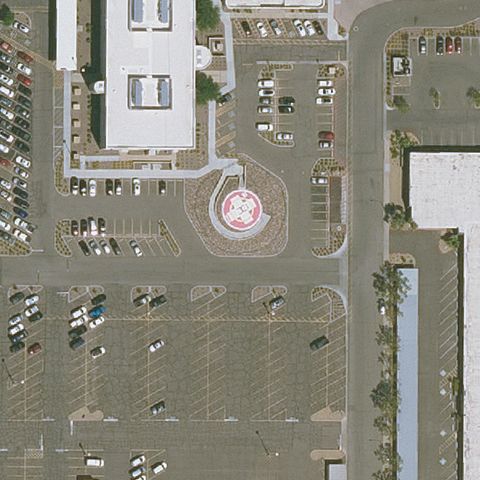
SUN CITY, AZ
33.602488889, -112.282722222
Circular marked pad with red markings near center of parking area.
✓ Confirmed by AI vision with Claude Opus 4.8
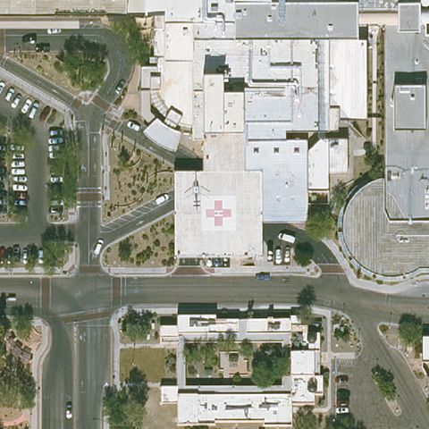 Confirmed
TUCSON, AZ
32.2516305560001, -110.879330556
Red pad with white cross/H on hospital roof near center.
✓ Confirmed by AI vision with Claude Opus 4.8
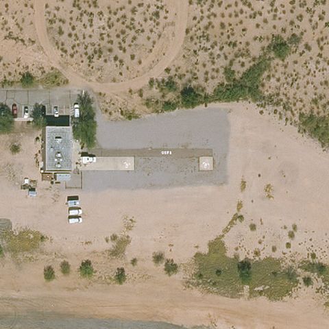 Confirmed
TUCSON, AZ
32.0656083330001, -110.854580556
Large prepared concrete pad at center but no clear H marking.
✓ Confirmed by AI vision with Claude Opus 4.8
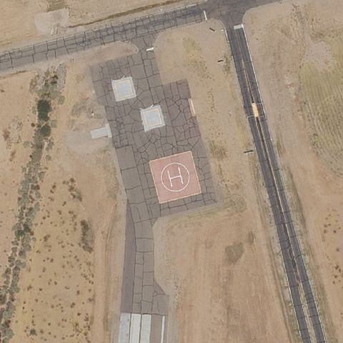 Confirmed
WICKENBURG, AZ
33.7428861110001, -112.768525
Distinct red square pad with white H at center of test ground.
✓ Confirmed by AI vision with Claude Opus 4.8
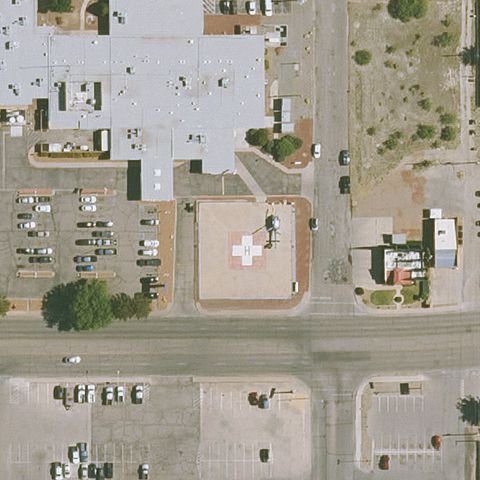 Confirmed
WILLCOX, AZ
32.2645388890001, -109.837897222
Tan/red square pad with cross marking at center near hospital.
✓ Confirmed by AI vision with Claude Opus 4.8
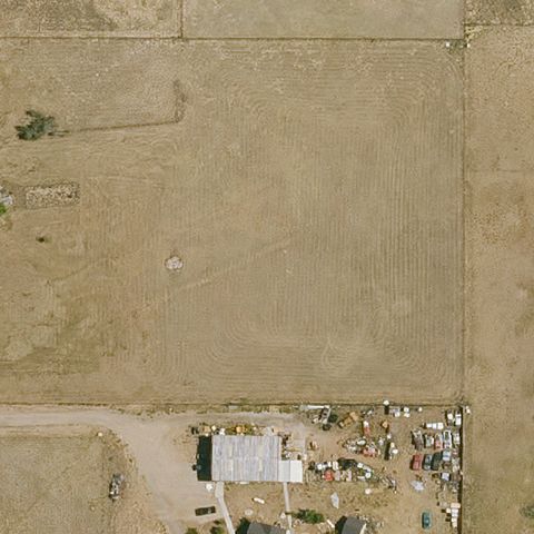 Confirmed
PRESCOTT VALLEY, AZ
34.7082, -112.333633333
Faint circular marking in open field near center, possibly a ground pad.
✓ Confirmed by AI vision with Claude Opus 4.8
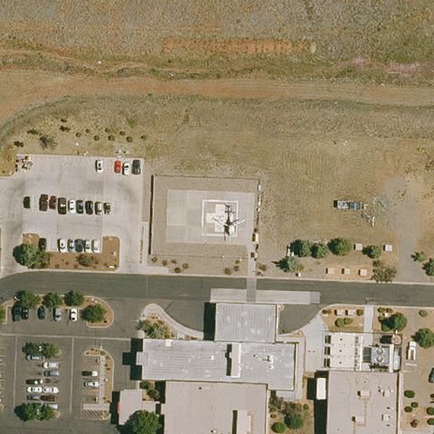 Confirmed
PRESCOTT VALLEY, AZ
34.591852778, -112.330722222
Square concrete pad with faint H marking near center.
✓ Confirmed by AI vision with Claude Opus 4.8
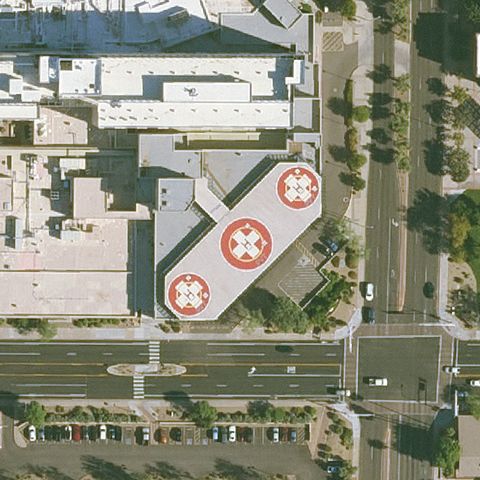 Confirmed
SCOTTSDALE, AZ
33.4880138890001, -111.922391667
Multiple red pads with white H/cross markings near center of hospital.
✓ Confirmed by AI vision with Claude Opus 4.8
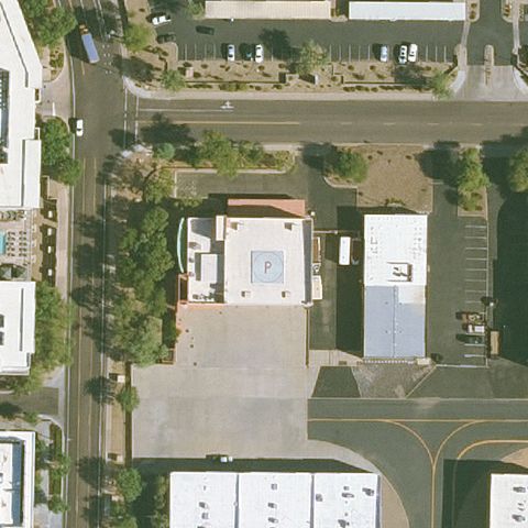 Confirmed
SCOTTSDALE, AZ
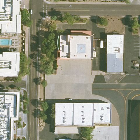
33.625352778, -111.921602778
Faint square marking on building roof near center.
✓ Confirmed by AI vision with Claude Opus 4.8
 Confirmed
SCOTTSDALE, AZ
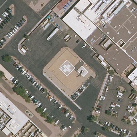
33.625138889, -111.921722222
Faint square marking on rooftop near center, indistinct.
✓ Confirmed by AI vision with Claude Opus 4.8
 Confirmed
SUN CITY WEST, AZ
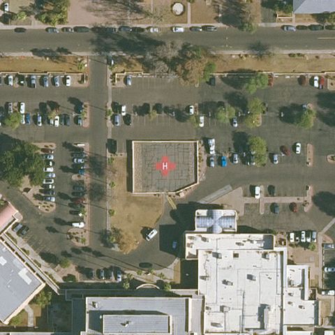
33.6593500000001, -112.373483333
Square prepared pad with faint H marking at center of lot.
✓ Confirmed by AI vision with Claude Opus 4.8
 Confirmed
TEMPE, AZ
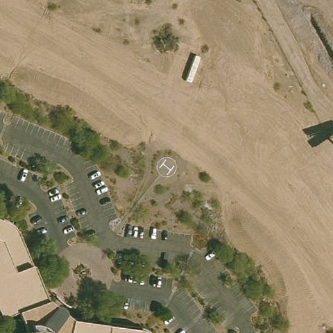
33.4131055560001, -111.940961111
Faint red square pad with marking near center of hospital lot.
✓ Confirmed by AI vision with Claude Opus 4.8
 Confirmed
TEMPE, AZ
33.4046888890001, -111.970211111
Faint circular ground marking near center in dirt area.
✓ Confirmed by AI vision with Claude Opus 4.8
 Confirmed
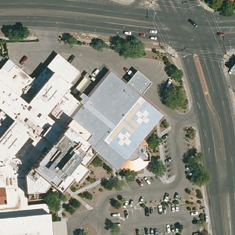
TUCSON, AZ
32.2283166670001, -110.999477778
Red rooftop pad with white cross/H near center of medical building.
✓ Confirmed by AI vision with Claude Opus 4.8
 Confirmed
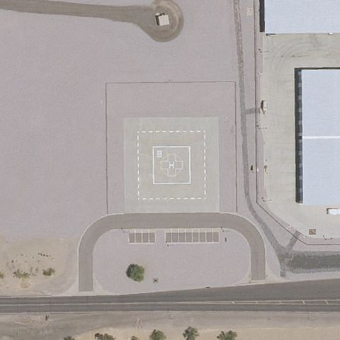
WINTERSBURG, AZ
33.3802666670001, -112.872361111
Pale square pad with H marking at center near the facility.
✓ Confirmed by AI vision with Claude Opus 4.8
 Confirmed
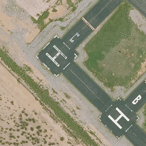
MARANA, AZ
32.520869444, -111.335794444
Multiple painted white H markings on paved pads at center.
✓ Confirmed by AI vision with Claude Opus 4.8
 Confirmed
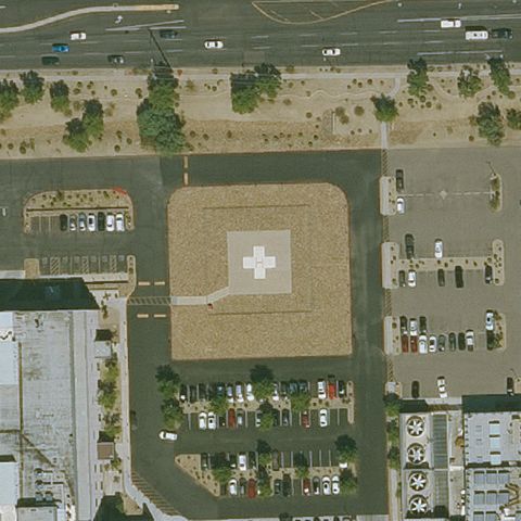
PHOENIX, AZ
33.479027778, -112.256777778
Square dirt/prepared pad with white cross marking at center.
✓ Confirmed by AI vision with Claude Opus 4.8
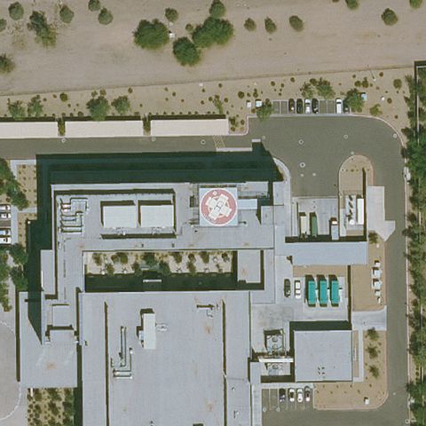 Confirmed
CHANDLER, AZ
33.286102778, -111.856613889
Red rooftop pad with white H near center of hospital.
✓ Confirmed by AI vision with Claude Opus 4.8
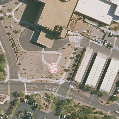 Confirmed
PHOENIX, AZ
33.6576666670001, -111.957583333
Faint red pad with H marking near center of medical campus.
✓ Confirmed by AI vision with Claude Opus 4.8
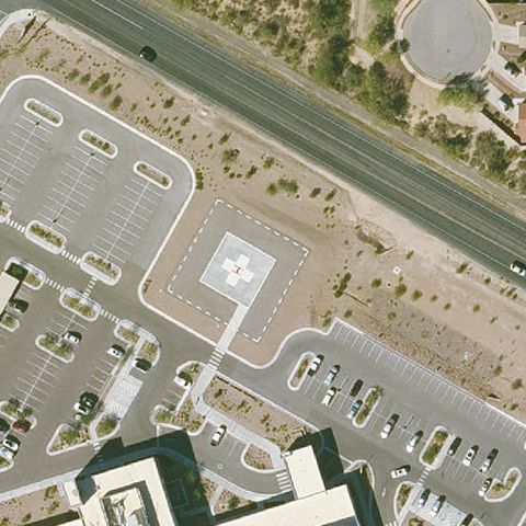 Confirmed
TUCSON, AZ
32.1967472220001, -110.775141667
Square concrete touchdown pad with a marking sits at image center.
✓ Confirmed by AI vision with Claude Opus 4.8
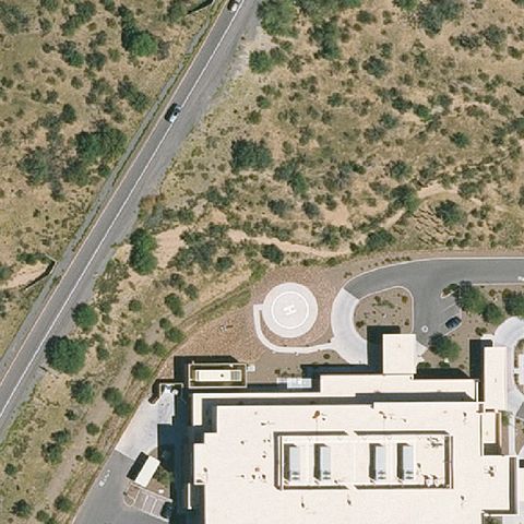 Confirmed
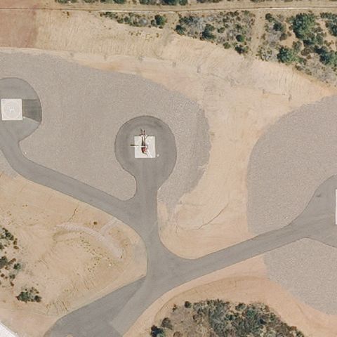
SAHUARITA, AZ
31.956388889, -110.985555556
Distinct circular prepared pad is centered just above the building.
✓ Confirmed by AI vision with Claude Opus 4.8
 Confirmed
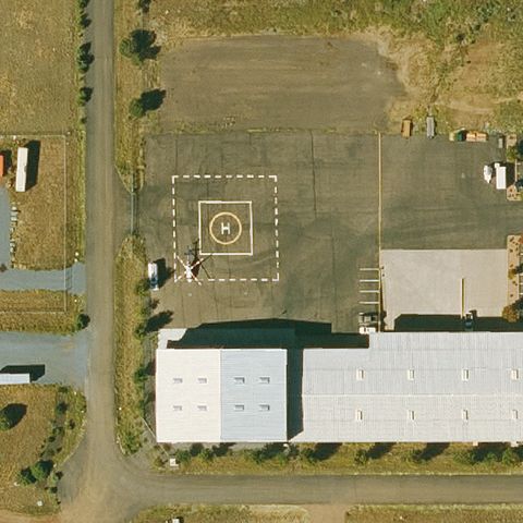
PAYSON, AZ
34.267813889, -111.238652778
Small white square pad with a marking appears at center on a graded dirt area.
✓ Confirmed by AI vision with Claude Opus 4.8
 Confirmed
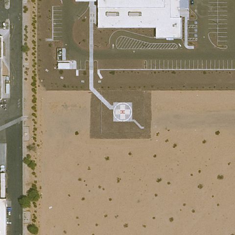
SHOW LOW, AZ
34.254838889, -110.000030556
Painted square FATO with circular touchdown marker is centered on the field.
✓ Confirmed by AI vision with Claude Opus 4.8
 Confirmed
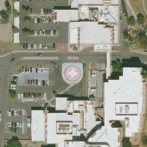
YUMA, AZ
32.6686111110001, -114.439305556
Small marked concrete pad is visible at center beside the medical building.
✓ Confirmed by AI vision with Claude Opus 4.8
 Confirmed
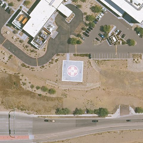
SCOTTSDALE, AZ
33.581363889, -111.885180556
Clear circular helipad with H marking is centered at the medical center.
✓ Confirmed by AI vision with Claude Opus 4.8
 Confirmed
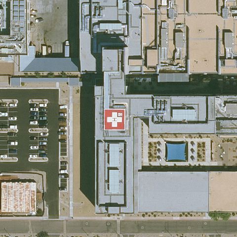
SCOTTSDALE, AZ
33.7843111110001, -112.130044444
Large circular pad with H marking sits at image center.
✓ Confirmed by AI vision with Claude Opus 4.8
 Confirmed
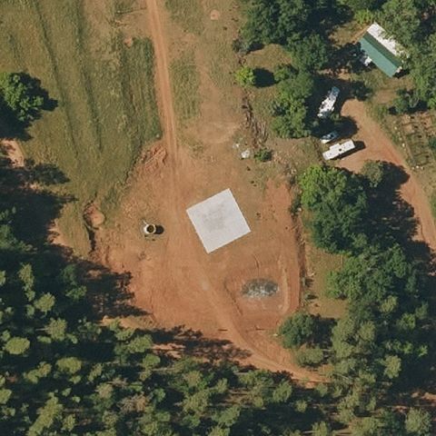
GILBERT, AZ
33.3841305560001, -111.723622222
Red-bordered pad with white cross marking is visible near center at the hospital.
✓ Confirmed by AI vision with Claude Opus 4.8
 Confirmed
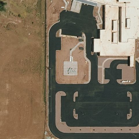
PAYSON, AZ
34.403280556, -111.369922222
Square concrete pad on cleared ground is centered in the image.
✓ Confirmed by AI vision with Claude Opus 4.8
 Confirmed
GANADO, AZ
35.7111944440001, -109.549019444
Small marked circular pad is visible near center beside the hospital building.
✓ Confirmed by AI vision with Claude Opus 4.8