 Not visible
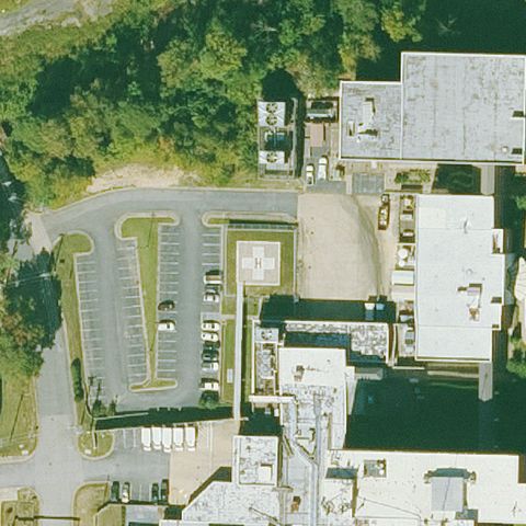
04AR Saline Meml Hospital
BENTON, AR
34.574244444, -92.586030556
Center shows parking lots and hospital roof with no visible pad marking.
70% confidence
Verify on the map →
Is there really a pad here?
Data: FAA Airports (ArcGIS open layer) | Imagery: USGS NAIP (public domain) | AI vision: Claude Opus 4.8 | built 2026-07-05
A flag means a pad could not be confirmed from current imagery - never that a heliport is missing, fake, or mislocated. Help us check: vote on each one below.
Not visibleBENTON, AR
34.574244444, -92.586030556
Center shows parking lots and hospital roof with no visible pad marking.
 Not visible
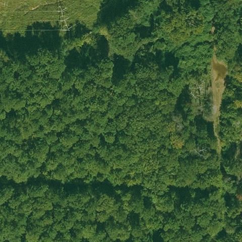
CROSSETT, AR
33.141786111, -91.9334638889999
Image center is dense forest with no structures or pad.
 Not visible
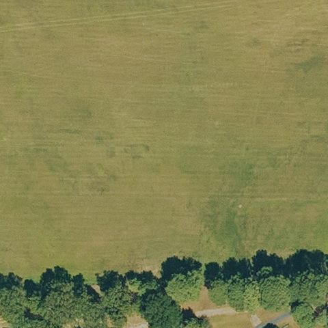
SEARCY, AR
35.2372972220001, -91.795058333
Center is open grass field with no pad present.
 Not visible
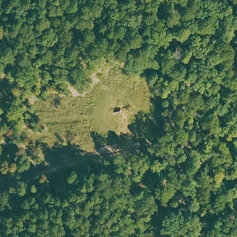
ROGERS, AR
36.229730111, -93.993263194
Center is a forest clearing with no prepared pad.
 Not visible
CORNING, AR
36.4192694440001, -90.58825
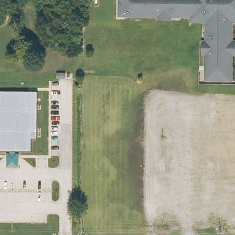
Center is open grass field with no pad visible.
 Not visible
WHEATLEY, AR
34.912222222, -91.107777778
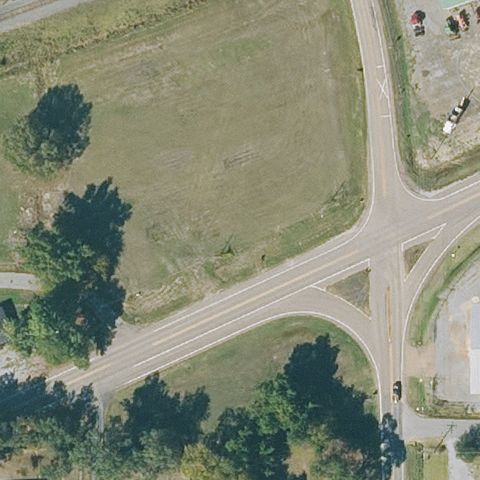
Center is a road intersection and field with no pad.
 Off-center
AUGUSTA, AR
35.288483333, -91.35865
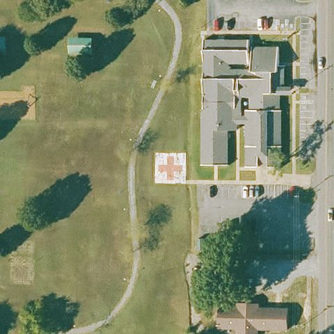
Marked H/cross touchdown pad visible just below center near the hospital.
 Off-center
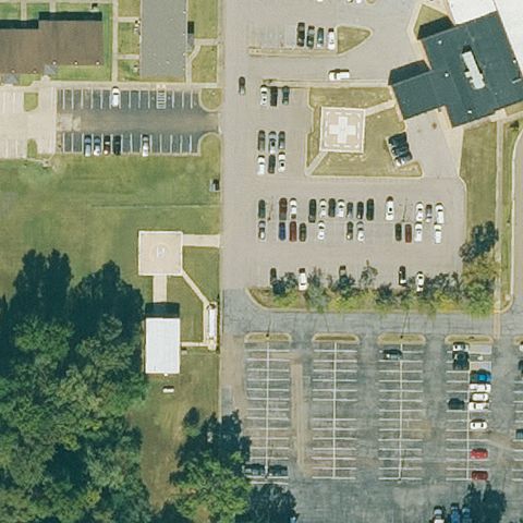
BERRYVILLE, AR
36.359241667, -93.550902778
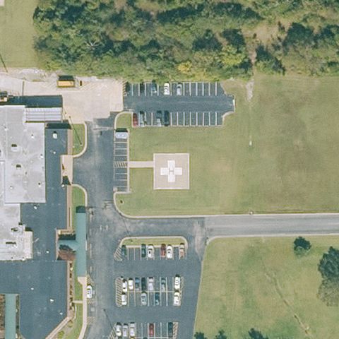
White marked pad on grass right of center near the hospital.
 Off-center
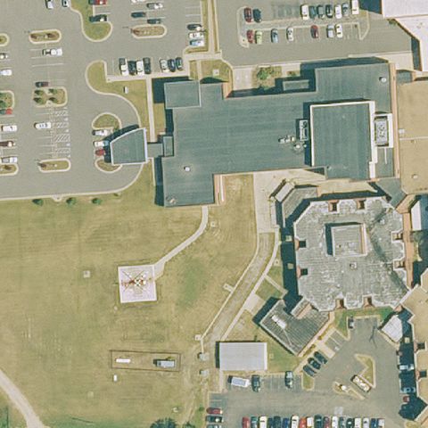
FORREST CITY, AR
35.039444444, -90.777222222
Faint light square pad left of center among parking areas.
 Off-center
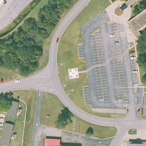
HOT SPRINGS, AR
34.486144444, -93.036575
White square pad on grass lower-left, off-center from the building roof.
 Off-center
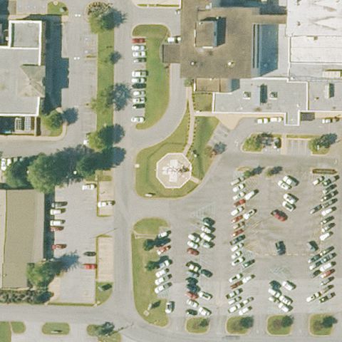
VAN BUREN, AR
35.4346305560001, -94.339944444
A small square pad appears off-center beside a large parking lot.
 Uncertain
BATESVILLE, AR
35.7671194440001, -91.635436111
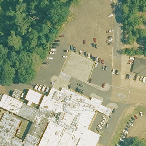
Center is a circular fountain/roundabout amid parking lots with no helipad marking.
 Uncertain
CAMDEN, AR
33.5765832220001, -92.836197306
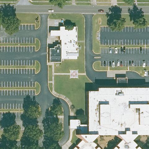
Center is an open lot and field with no pad marking visible.
 Uncertain
BLYTHEVILLE, AR
35.9434166670001, -89.91775
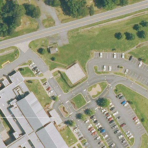
Center shows parking and grounds with no clear pad marking.
 Uncertain
CLINTON, AR
35.5599750000001, -92.4518
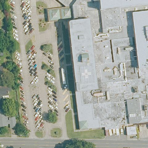
Center is parking lots and buildings with no pad marking.
 Uncertain
CONWAY, AR
35.0854861110001, -92.4583111109999
Center shows large hospital roof and parking with no visible pad.
 Uncertain
FORT SMITH, AR
35.35375, -94.352052778
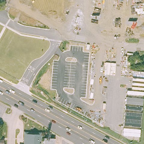
Center shows parking and construction/disturbed ground with no clear pad.
 Uncertain
GRAVETTE, AR
36.409277778, -94.460055556
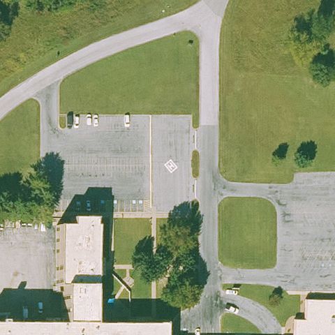
Center is a large parking lot with only a faint stripe, no pad marking.
 Uncertain
HELENA, AR
34.5098247220001, -90.626217778
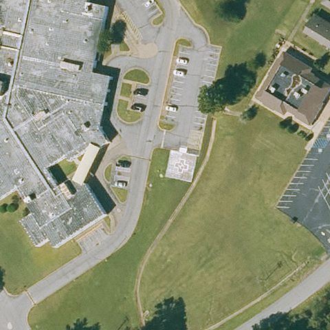
Center is grass and hospital buildings with no visible pad.
 Uncertain
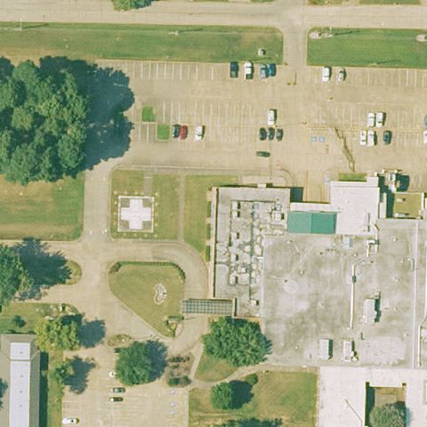
HOLIDAY ISLAND, AR
36.455277778, -93.7193583329999
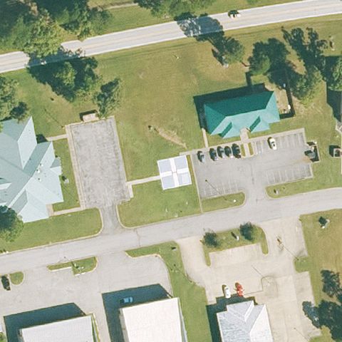
Center shows parking and small markings but no distinct helipad.
 Uncertain
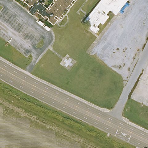
HOPE, AR
33.64845, -93.585038889
Hospital grounds at center with no clearly marked pad.
 Uncertain
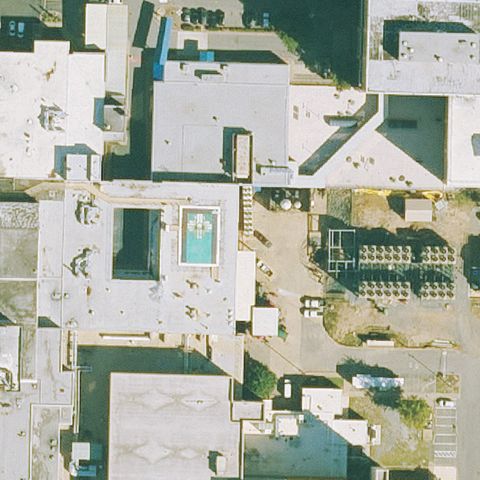
LAKE VILLAGE, AR
33.3053333330001, -91.289166667
Center is a plain concrete/grass lot with no pad marking visible.
 Uncertain
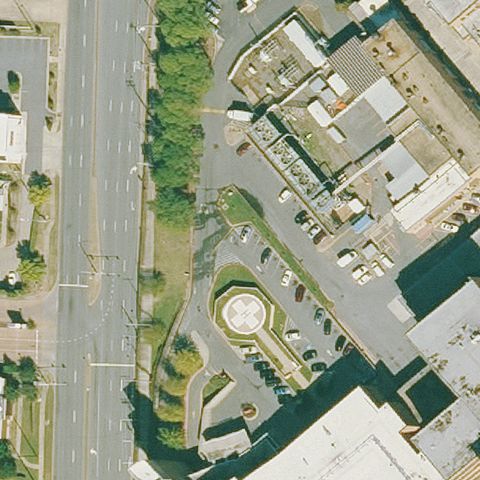
LITTLE ROCK, AR
34.744477778, -92.3804111109999
Dense rooftops at center; a blue feature appears to be a pool, no clear pad.
 Uncertain
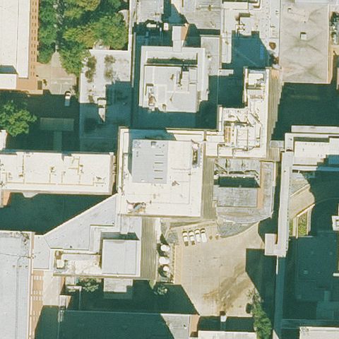
LITTLE ROCK, AR
34.7506475000001, -92.340707778
Center shows a circular landscaped/parking feature with no helipad marking.
 Uncertain
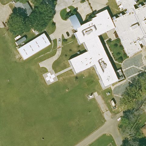
LITTLE ROCK, AR
34.7490194440001, -92.3201333329999
Dense urban rooftops at center with no clearly identifiable pad.
 Uncertain
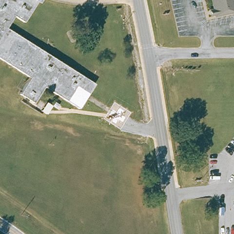
MC GEHEE, AR
33.617997222, -91.393036111
Center is hospital roof and grass with only a faint light area, no clear pad.
 Uncertain
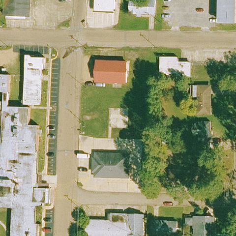
POCAHONTAS, AR
36.28925, -90.9963194439999
Center shows building corner and road with no clear pad marking.
 Uncertain
FORDYCE, AR
33.811263889, -92.424741667
Center is a residential block with trees and no pad.
 Uncertain
HARRISON, AR
36.2364600000001, -93.1093430559999
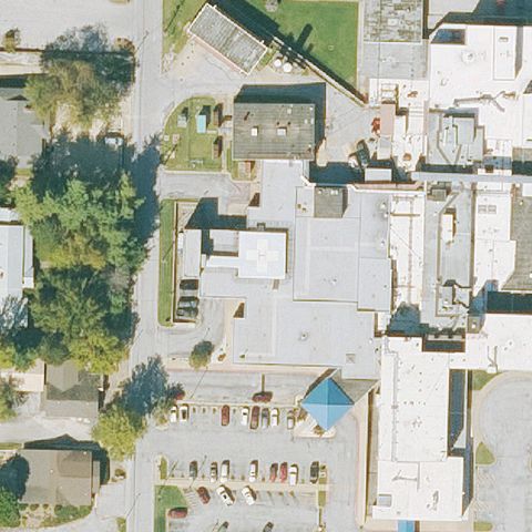
Dense hospital complex at center with no clearly identifiable pad.
 Uncertain
JOHNSON, AR
36.135, -94.1852777779999
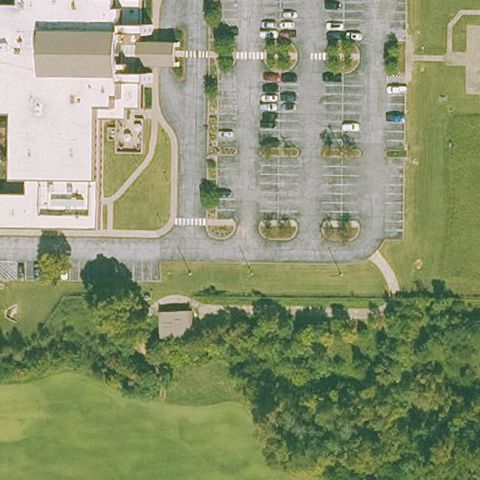
Center is parking lots and grass with no pad marking.
 Uncertain
LITTLE ROCK, AR
34.742916667, -92.293666667
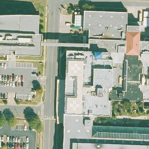
Dense urban hospital rooftops at center with no clear pad marking.
 Uncertain
MORRILTON, AR
35.168111111, -92.720444444
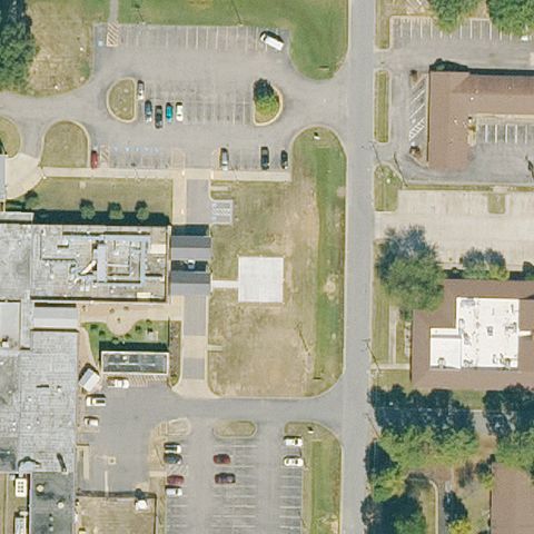
Center shows parking lots and buildings with no visible pad.
 Uncertain
MOUNTAIN HOME, AR
36.3332361110001, -92.387416667
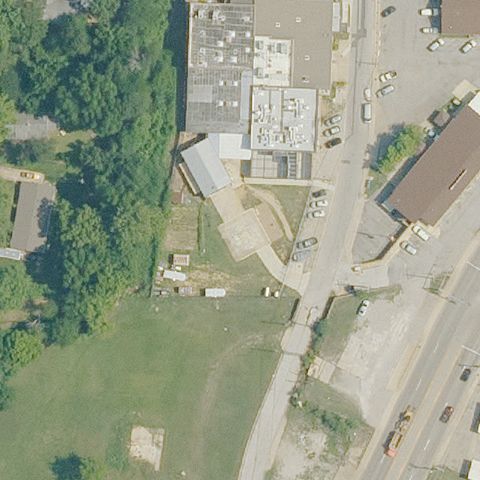
Center is industrial buildings and lots with no discernible pad.
 Uncertain
OSCEOLA, AR
35.700036111, -89.975002778
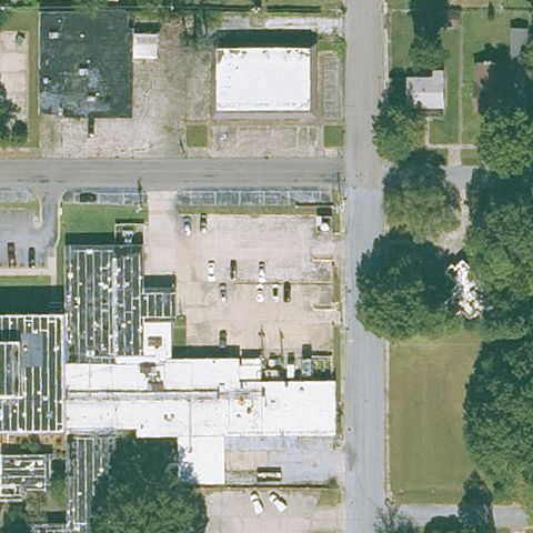
Center is a parking lot with no helipad markings visible.
 Uncertain
SEARCY, AR
35.2524916670001, -91.697375
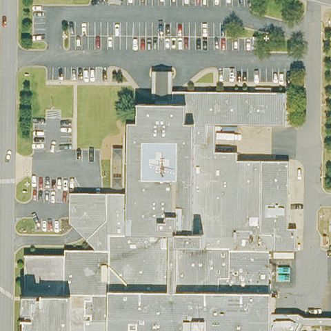
Large hospital rooftops at center with no clear pad marking.
 Uncertain
SPRINGDALE, AR
36.181466389, -94.1371475
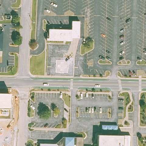
Center shows parking lots and buildings, no pad visible.
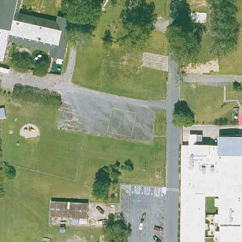 Uncertain
WARREN, AR
33.610877778, -92.0600666669999
Cracked paved lot at center with no clear pad marking.
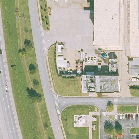 Uncertain
ROGERS, AR
36.3084473330001, -94.184225361
Center is commercial building and parking with no pad.
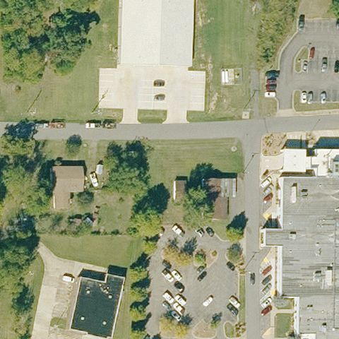 Uncertain
DANVILLE, AR
35.0550920000001, -93.388952
Center shows buildings and roads with no clear pad.
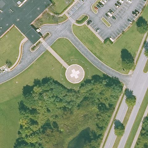 Confirmed
BENTONVILLE, AR
36.339011111, -94.190494444
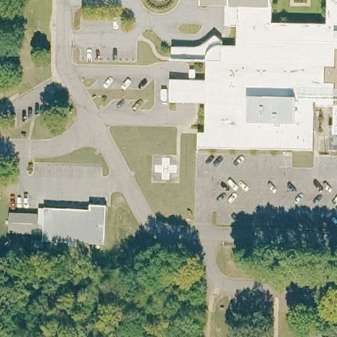
Clear circular pad with painted white H at image center.
✓ Confirmed by AI vision with Claude Opus 4.8
 Confirmed
CLARKSVILLE, AR
35.461202778, -93.445355556
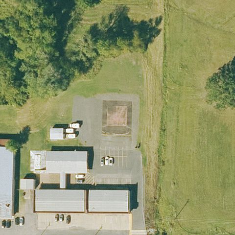
Faint light square pad visible on grass near center beside the hospital.
✓ Confirmed by AI vision with Claude Opus 4.8
 Confirmed
DANVILLE, AR
35.054633333, -93.382988889
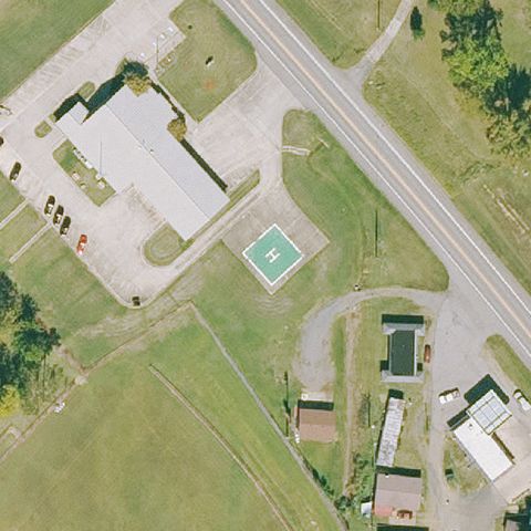
Prepared concrete pad with markings near center by the EMS building.
✓ Confirmed by AI vision with Claude Opus 4.8
 Confirmed
DARDANELLE, AR
35.233419444, -93.172547222
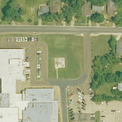
Marked white pad on grass at image center.
✓ Confirmed by AI vision with Claude Opus 4.8
 Confirmed
EL DORADO, AR
33.2216194440001, -92.670388889
Faint light square prepared pad on grass near center.
✓ Confirmed by AI vision with Claude Opus 4.8
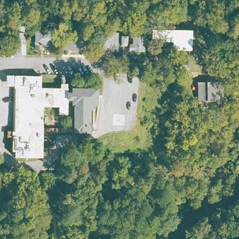 Confirmed
EUREKA SPRINGS, AR
36.4001361110001, -93.7436777779999
Small light square pad visible near center among trees by the hospital.
✓ Confirmed by AI vision with Claude Opus 4.8
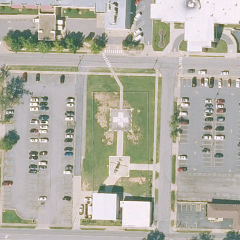 Confirmed
FORT SMITH, AR
35.373158333, -94.4193333329999
Circular marked pad on grass at image center between parking lots.
✓ Confirmed by AI vision with Claude Opus 4.8
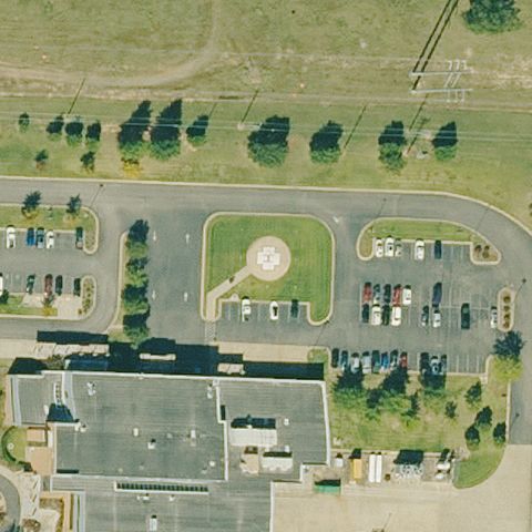 Confirmed
HEBER SPRINGS, AR
35.504888889, -91.997694444
Circular pad with painted white H at image center.
✓ Confirmed by AI vision with Claude Opus 4.8
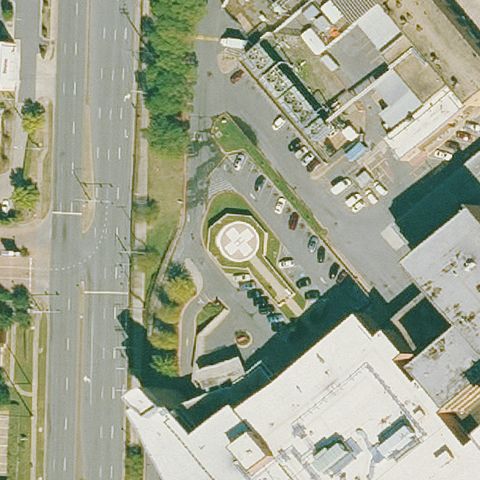 Confirmed
LITTLE ROCK, AR
34.750447222, -92.340686111
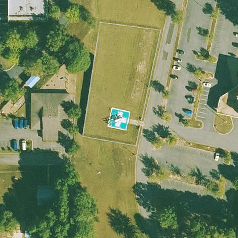
Circular UAMS pad with marking visible at image center.
✓ Confirmed by AI vision with Claude Opus 4.8
 Confirmed
LITTLE ROCK, AR
34.6571527780001, -92.404338889
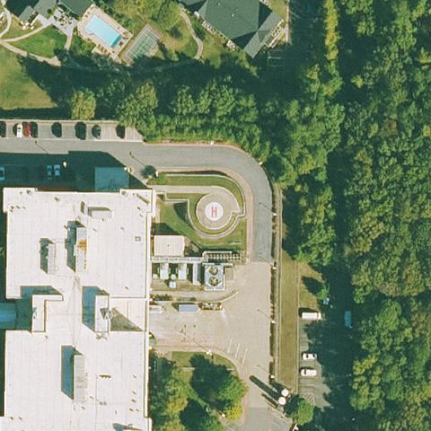
Marked pad with painted H on grass at image center.
✓ Confirmed by AI vision with Claude Opus 4.8
 Confirmed
LITTLE ROCK, AR
34.7395250000001, -92.392738889
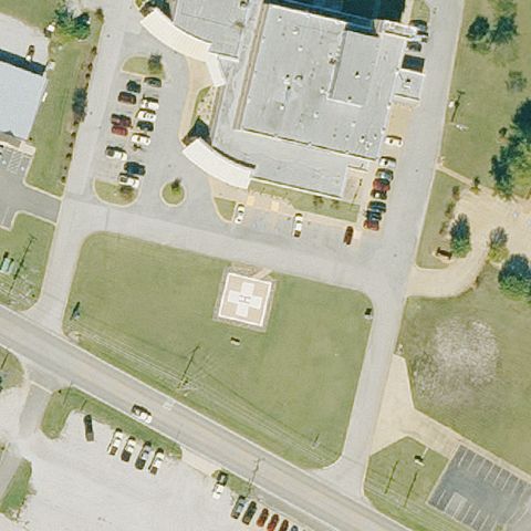
Circular pad with marking at image center near the hospital.
✓ Confirmed by AI vision with Claude Opus 4.8
 Confirmed
MOUNTAIN VIEW, AR
35.856185, -92.082928889
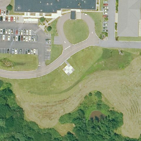
Light square prepared pad on grass at image center.
✓ Confirmed by AI vision with Claude Opus 4.8
 Confirmed
NASHVILLE, AR
33.9488416670001, -93.8802249999999
Small white square pad near center beside the road and hospital.
✓ Confirmed by AI vision with Claude Opus 4.8
 Confirmed
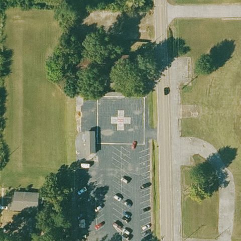
NEWPORT, AR
35.6097861110001, -91.264452778
Marked pad near center by the building with a red cross/H.
✓ Confirmed by AI vision with Claude Opus 4.8
 Confirmed
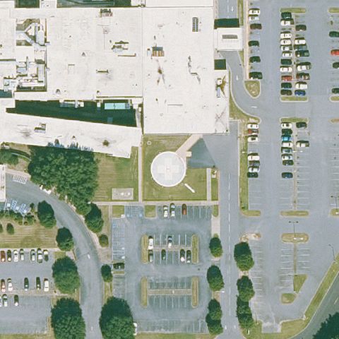
PINE BLUFF, AR
34.1872333330001, -92.016819444
Circular white pad at image center among parking lots.
✓ Confirmed by AI vision with Claude Opus 4.8
 Confirmed
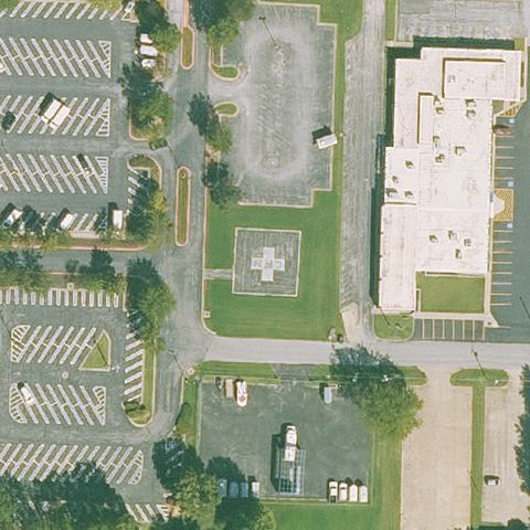
ROGERS, AR
36.3329666670001, -94.132027778
White H/cross marked pad on grass at image center.
✓ Confirmed by AI vision with Claude Opus 4.8
 Confirmed
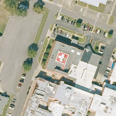
RUSSELLVILLE, AR
35.284141667, -93.1500833329999
Marked pad with red cross/H near center on the hospital structure.
✓ Confirmed by AI vision with Claude Opus 4.8
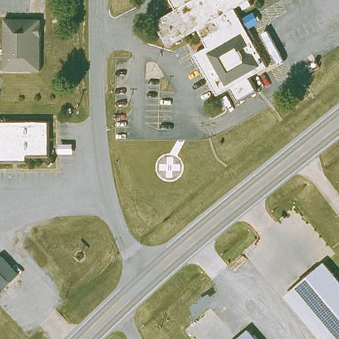 Confirmed
DE WITT, AR
34.278808333, -91.338627778
Circular pad with painted white H on grass at image center.
✓ Confirmed by AI vision with Claude Opus 4.8
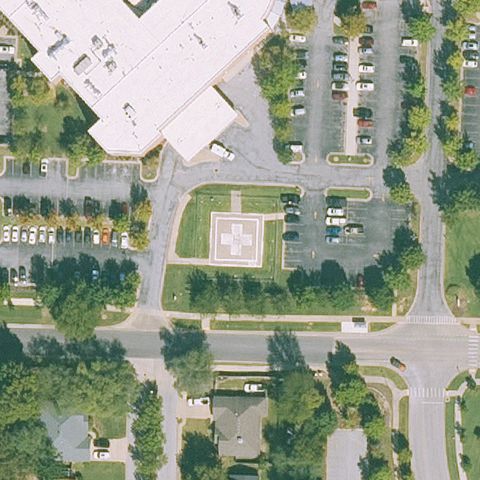 Confirmed
FAYETTEVILLE, AR
36.1082000000001, -94.158766667
Marked white pad on grass median at image center.
✓ Confirmed by AI vision with Claude Opus 4.8
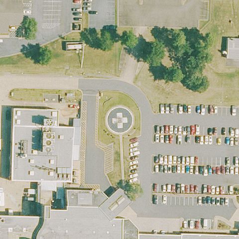 Confirmed
HOT SPRINGS, AR
34.46885, -93.065766667
Green circular pad with painted white H at image center.
✓ Confirmed by AI vision with Claude Opus 4.8
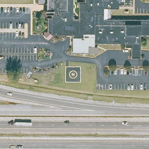 Confirmed
JONESBORO, AR
35.8076, -90.666466667
Green circular pad with painted white H at image center.
✓ Confirmed by AI vision with Claude Opus 4.8
 Confirmed
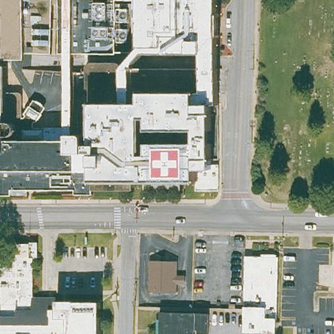
JONESBORO, AR
35.8359444440001, -90.701730556
Marked pad with red cross/H near center on the hospital roof.
✓ Confirmed by AI vision with Claude Opus 4.8
 Confirmed
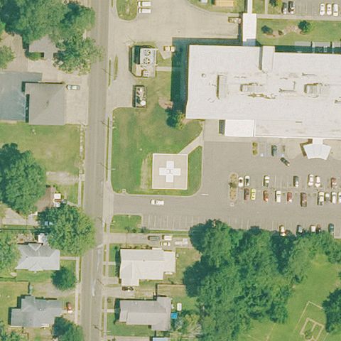
MAGNOLIA, AR
33.2739444440001, -93.239763889
Light square prepared pad on grass near center by the hospital.
✓ Confirmed by AI vision with Claude Opus 4.8
 Confirmed
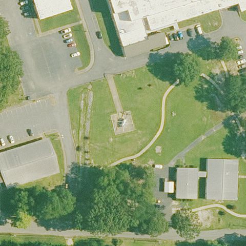
MALVERN, AR
34.3580000000001, -92.786063889
Square marked pad on grass at image center.
✓ Confirmed by AI vision with Claude Opus 4.8
 Confirmed
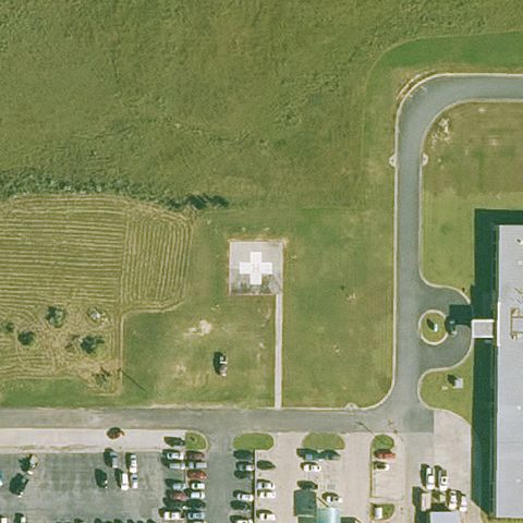
MONTICELLO, AR
33.611766667, -91.8172888889999
Square concrete pad with faint marking near image center.
✓ Confirmed by AI vision with Claude Opus 4.8
 Confirmed
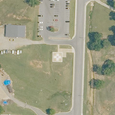
MOUNTAIN HOME, AR
36.3417305560001, -92.398908333
Square pad with faint H marking at center of image.
✓ Confirmed by AI vision with Claude Opus 4.8
 Confirmed
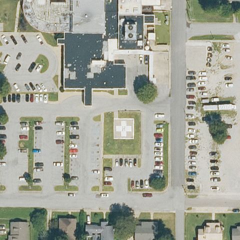
PARAGOULD, AR
36.050902222, -90.4981619439999
Painted H on a square pad sits near image center.
✓ Confirmed by AI vision with Claude Opus 4.8
 Confirmed
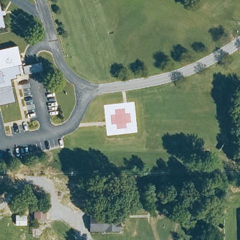
PIGGOTT, AR
36.389722222, -90.203777778
Square pad with a red cross/marking at image center.
✓ Confirmed by AI vision with Claude Opus 4.8
 Confirmed
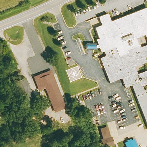
SALEM, AR
36.3827527780001, -91.811002778
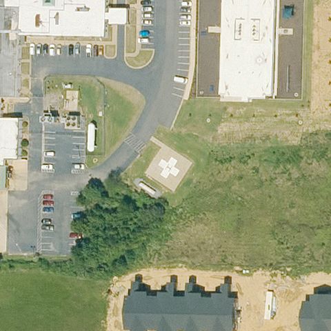
Faint square prepared pad visible near center.
✓ Confirmed by AI vision with Claude Opus 4.8
 Confirmed
SEARCY, AR
35.2334527780001, -91.729736111
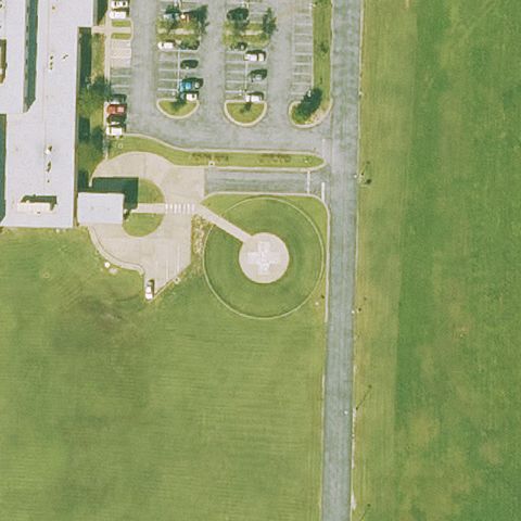
Square prepared pad in grass near image center.
✓ Confirmed by AI vision with Claude Opus 4.8
 Confirmed
SILOAM SPRINGS, AR
36.1893777780001, -94.506755556
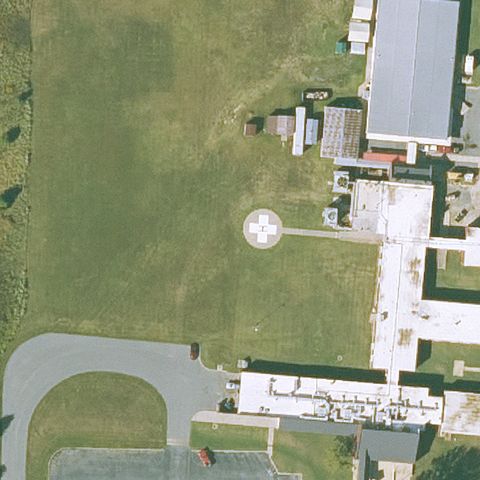
Circular touchdown pad sits near image center.
✓ Confirmed by AI vision with Claude Opus 4.8
 Confirmed
STUTTGART, AR
34.517777778, -91.5597222219999
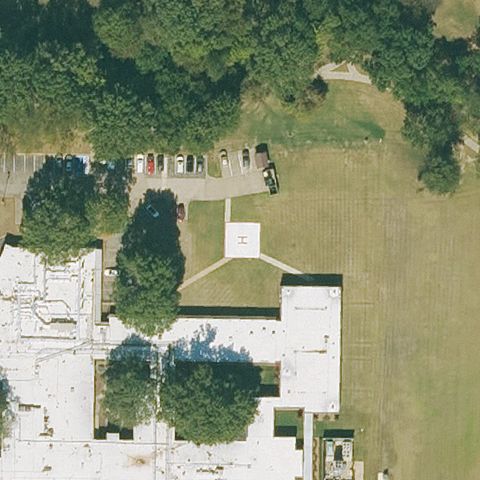
Circular pad with H marking near image center.
✓ Confirmed by AI vision with Claude Opus 4.8
 Confirmed
WYNNE, AR
35.220119444, -90.7859972219999
Faint square prepared pad visible near center in grass.
✓ Confirmed by AI vision with Claude Opus 4.8
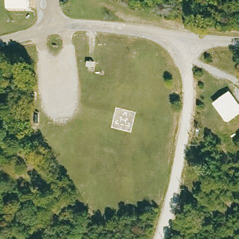 Confirmed
YELLVILLE, AR
36.410402778, -92.663216667
Square pad with marking centered in grassy clearing.
✓ Confirmed by AI vision with Claude Opus 4.8
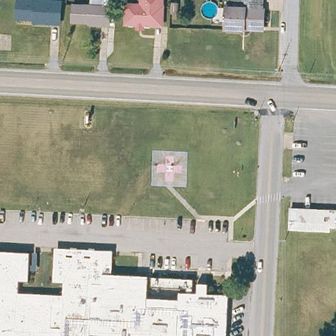 Confirmed
WALNUT RIDGE, AR
36.0744083330001, -90.967363889
Faint reddish square pad visible near image center.
✓ Confirmed by AI vision with Claude Opus 4.8
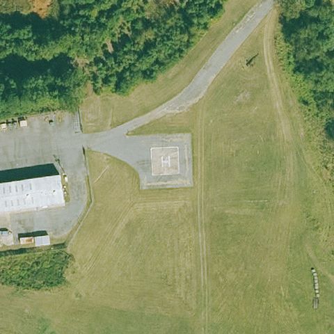 Confirmed
LITTLE ROCK, AR
34.6408416670001, -92.304216667
Square pad with H marking near image center beside taxiway.
✓ Confirmed by AI vision with Claude Opus 4.8
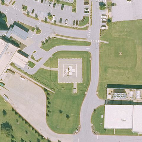 Confirmed
SPRINGDALE, AR
36.161888833, -94.189098083
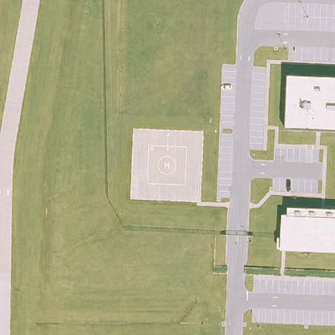
Square pad with H marking at image center.
✓ Confirmed by AI vision with Claude Opus 4.8
 Confirmed
LOWELL, AR
36.2559876940001, -94.162142917
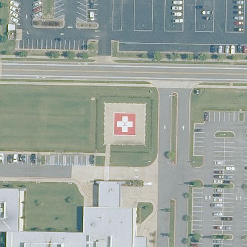
Square pad with circular marking near image center.
✓ Confirmed by AI vision with Claude Opus 4.8
 Confirmed
CONWAY, AR
35.057783333, -92.419119444
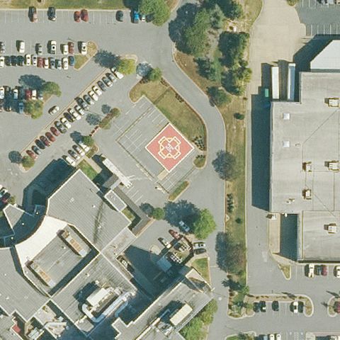
Square pad with red cross marking near image center.
✓ Confirmed by AI vision with Claude Opus 4.8
 Confirmed
NORTH LITTLE ROCK, AR
34.813552778, -92.2073722219999
Circular pad with cross/H marking at image center.
✓ Confirmed by AI vision with Claude Opus 4.8